


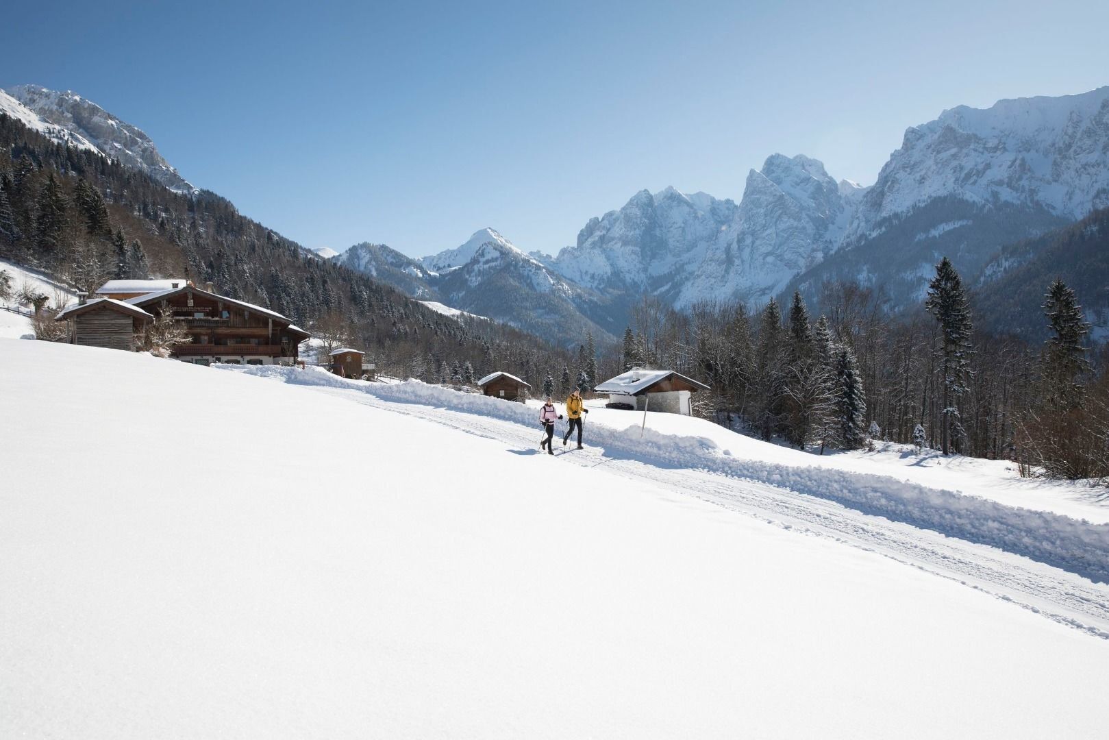
Premium winter hiking trail - Winterly Kaisertal


The Kaisertal not only has a beautiful setting, but also has a favourable climate and is protected from winds, so that it is also popular in winter. From the car park to the Kaiseraufstieg, via the Kaiseraufstieg...
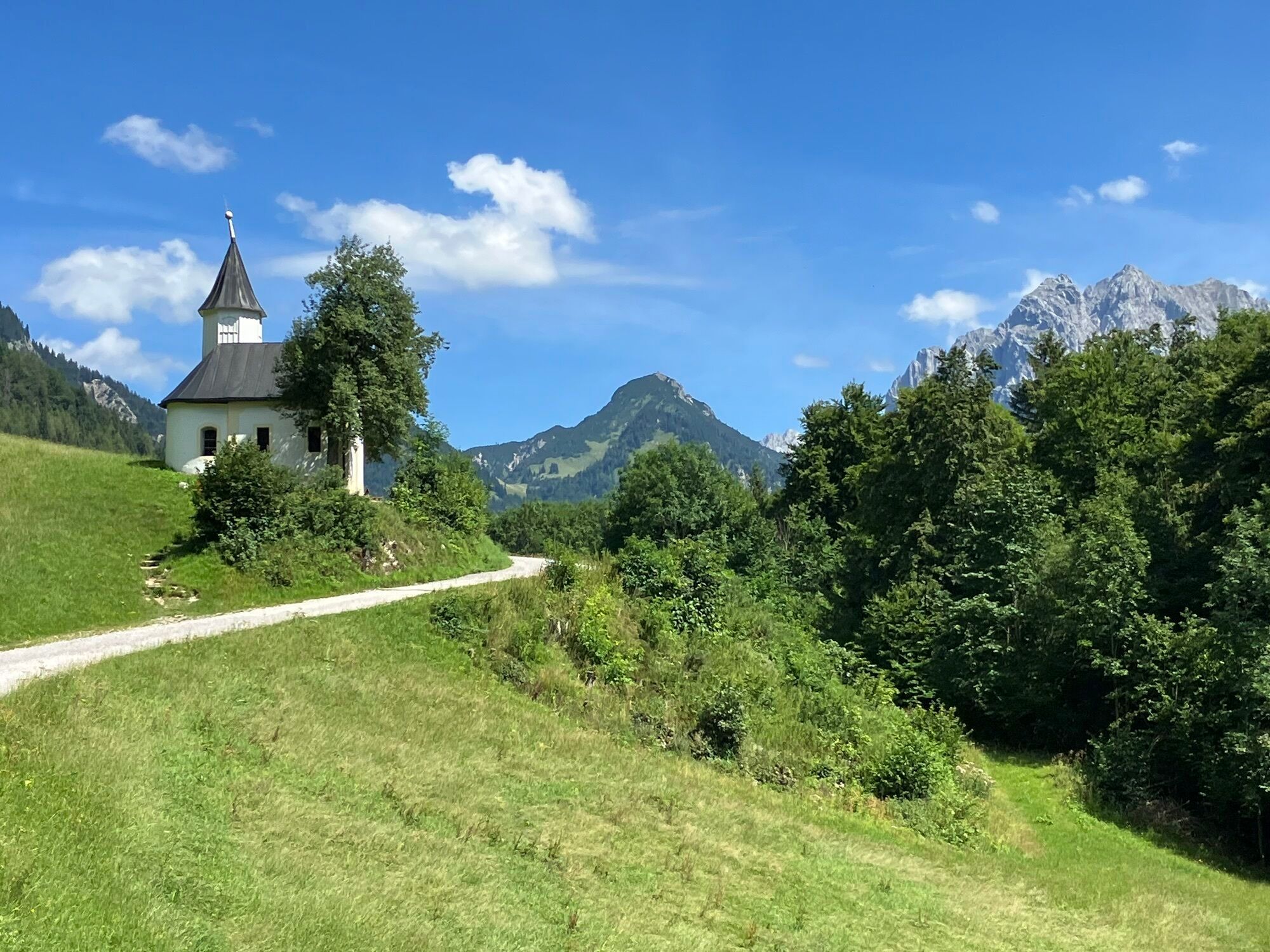
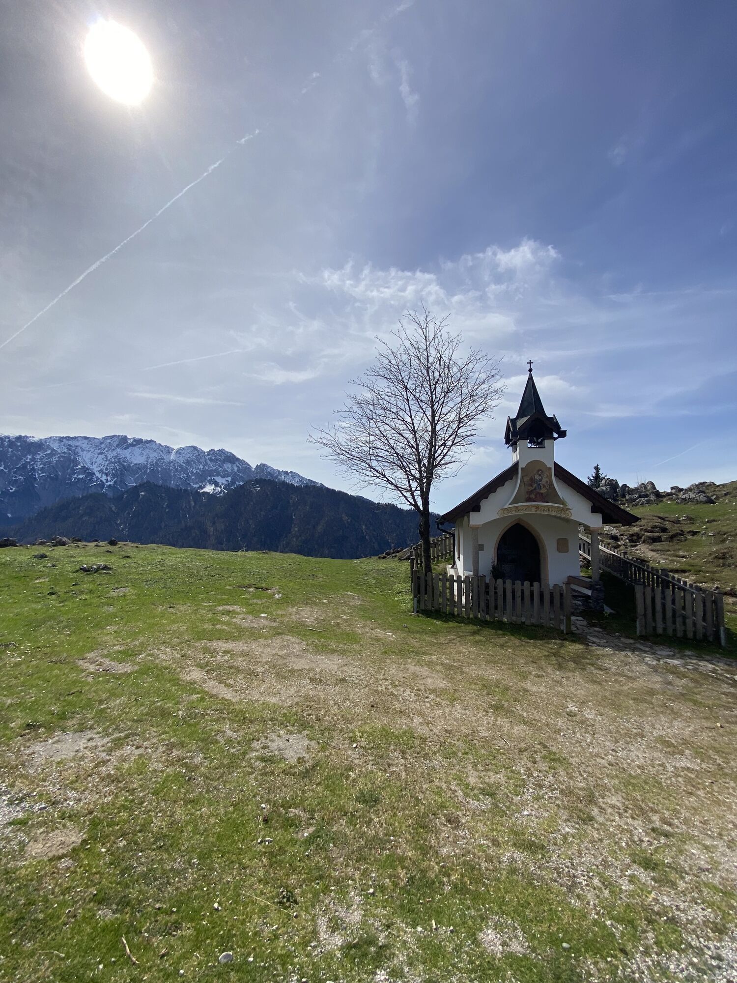
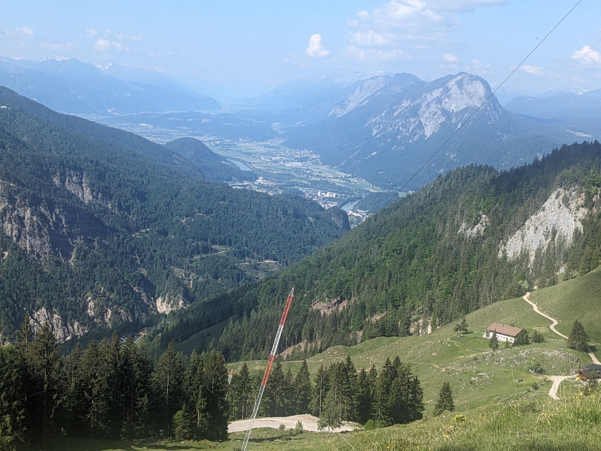
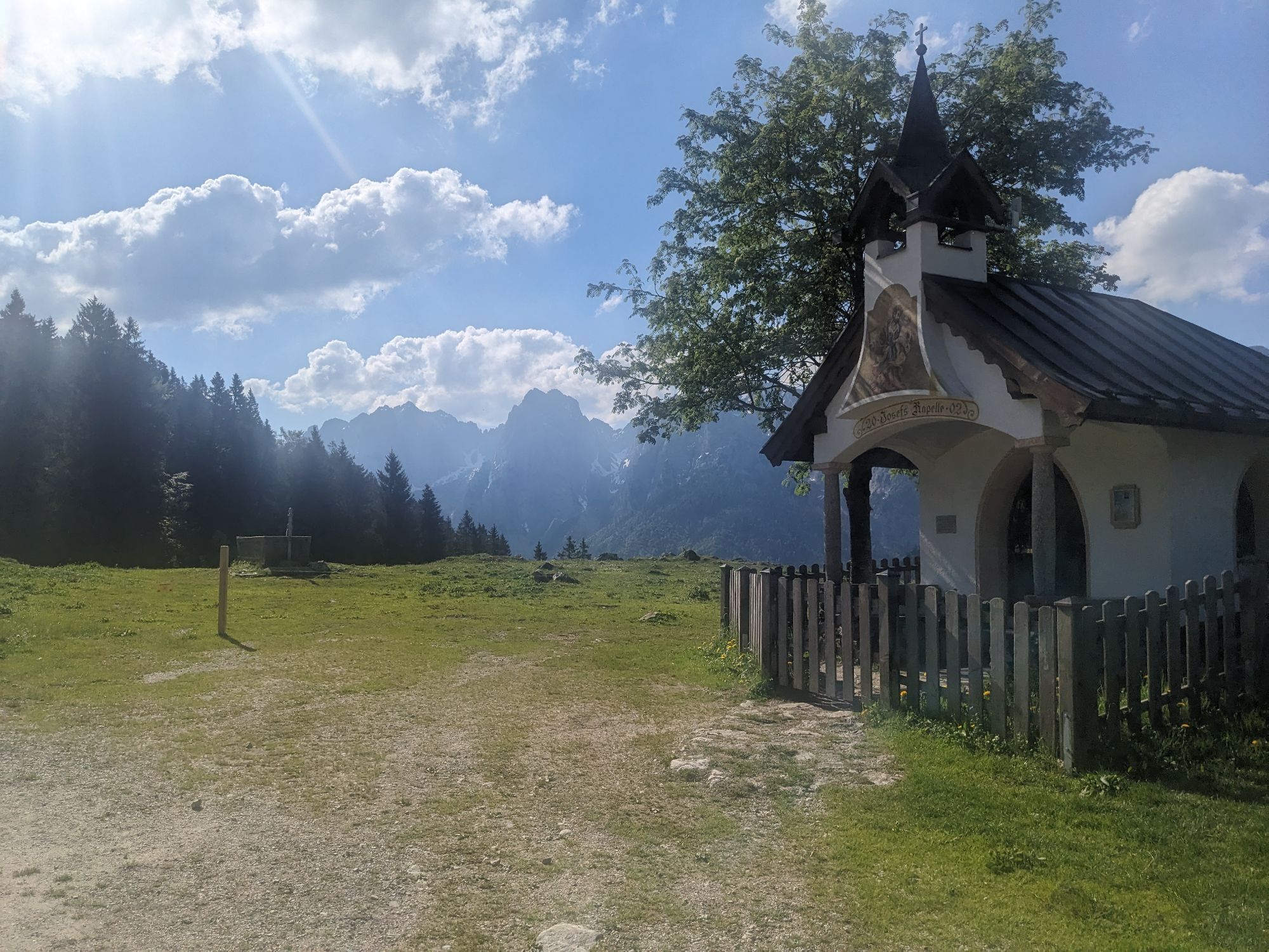
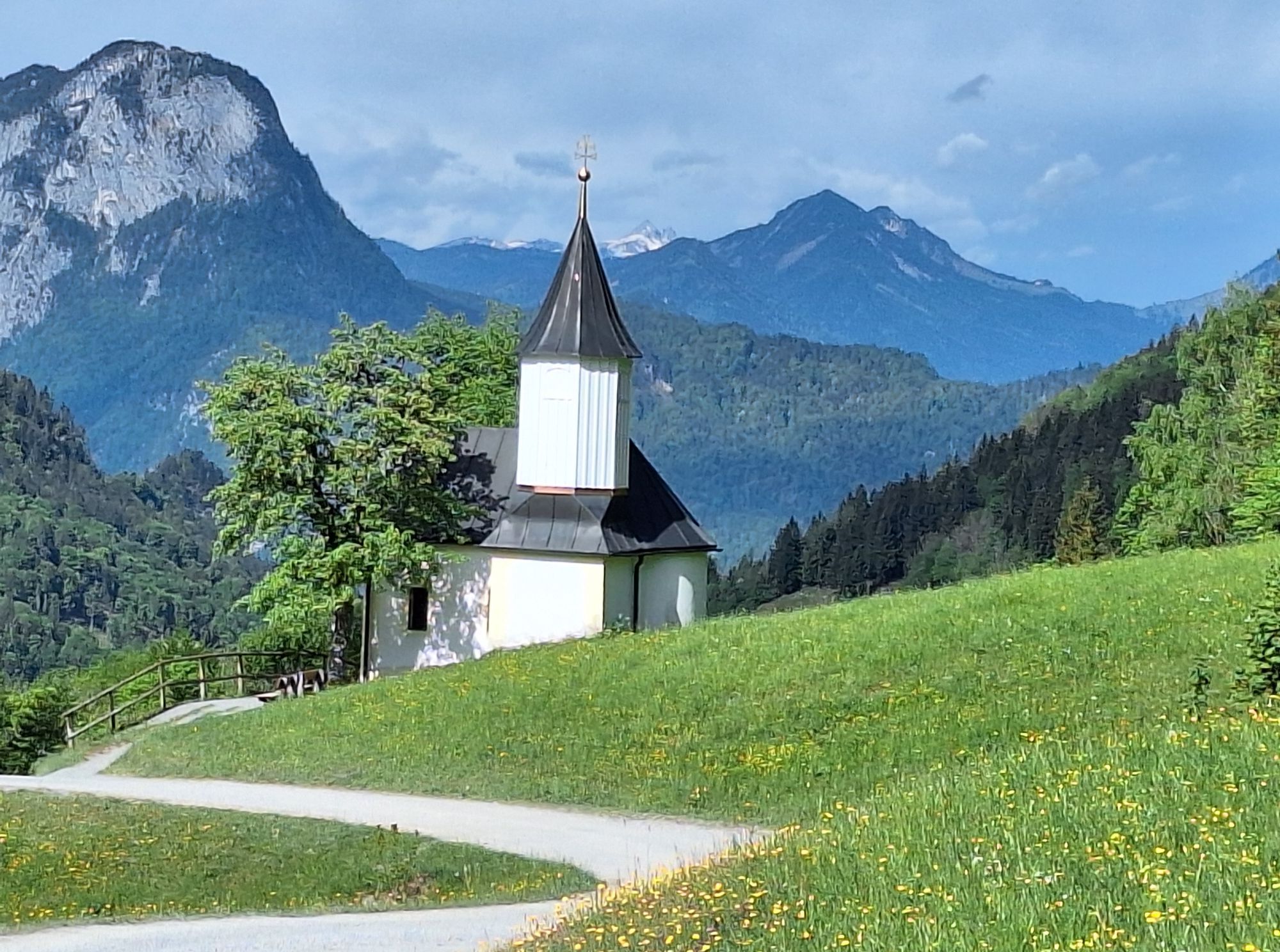
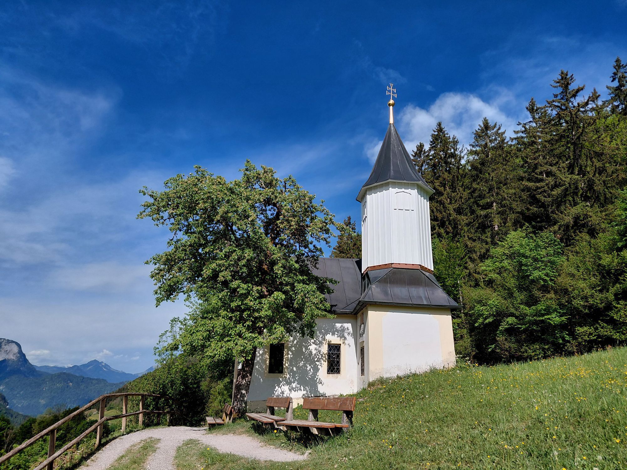
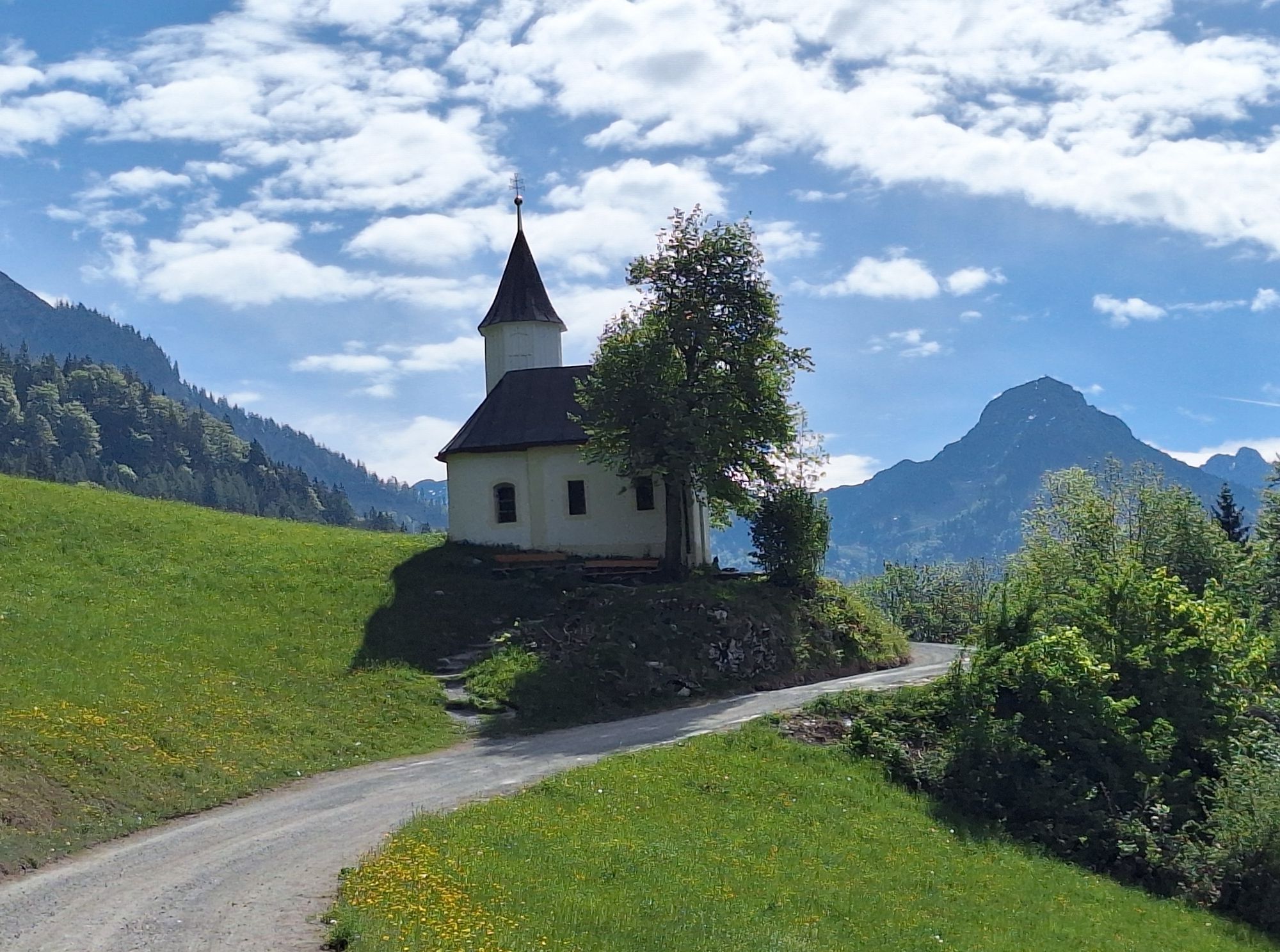
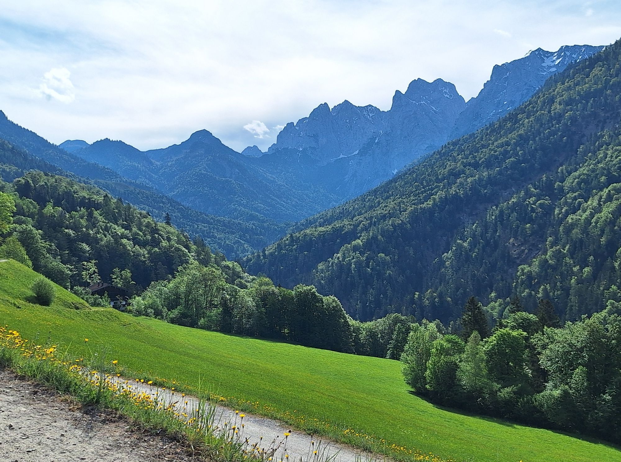
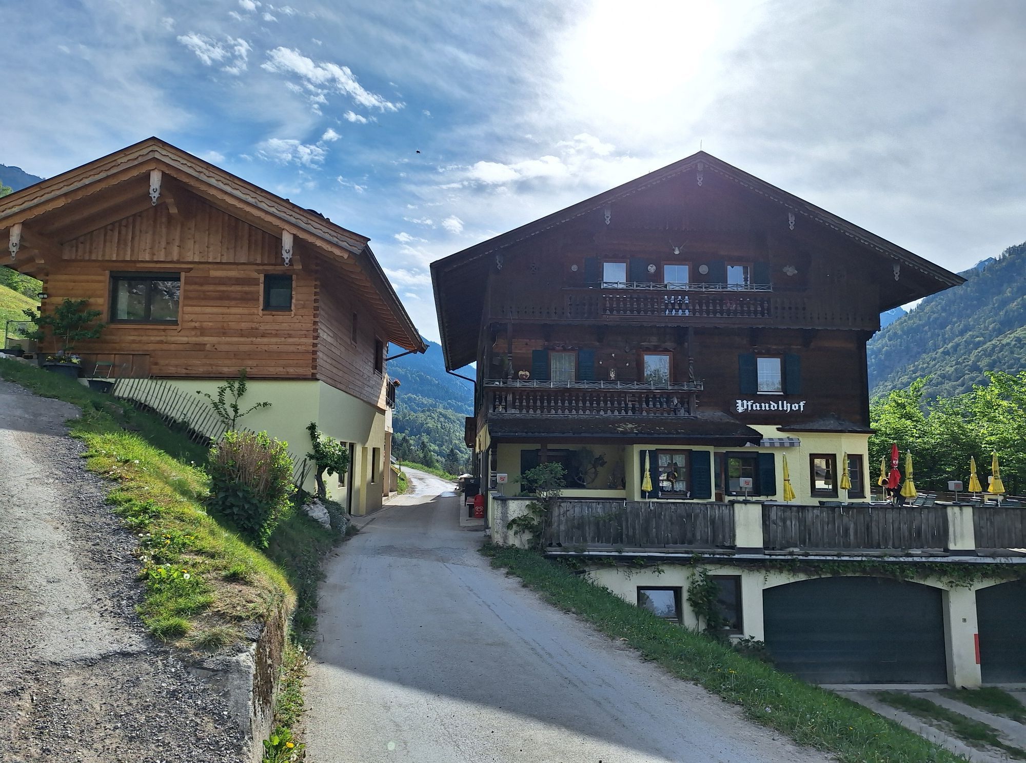
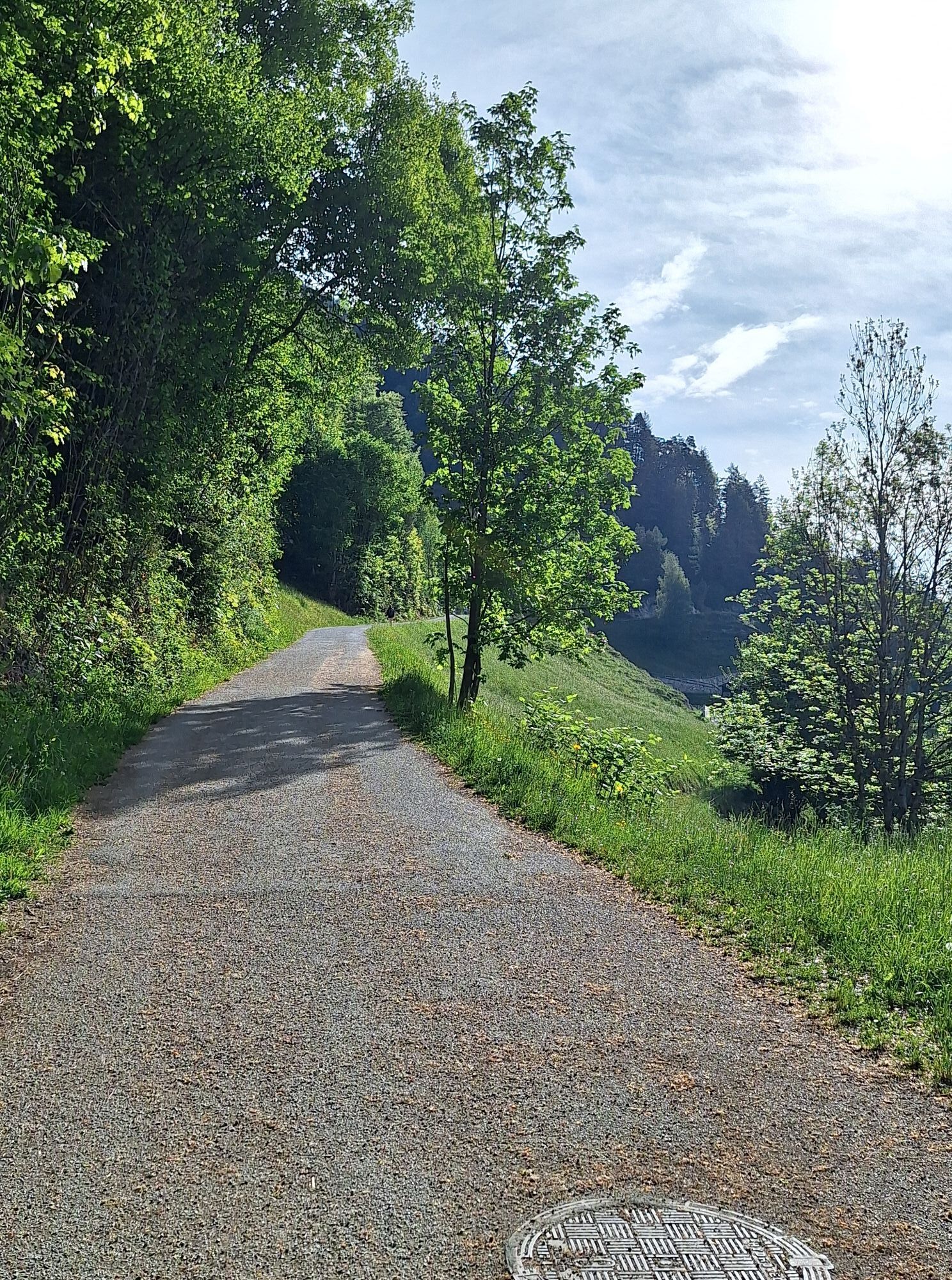
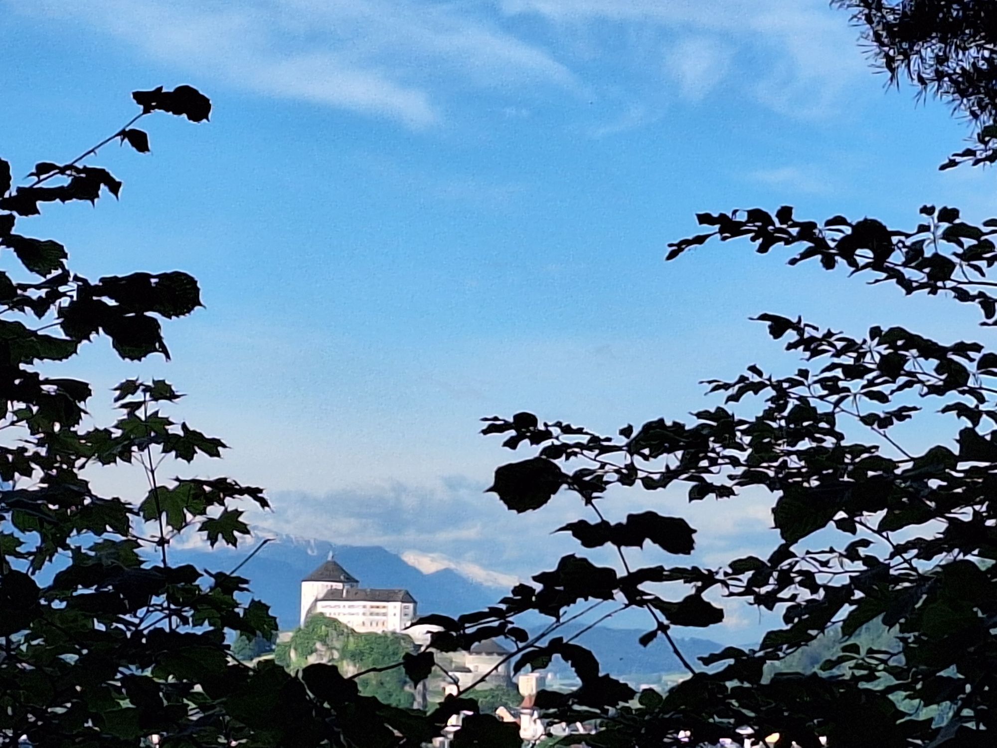
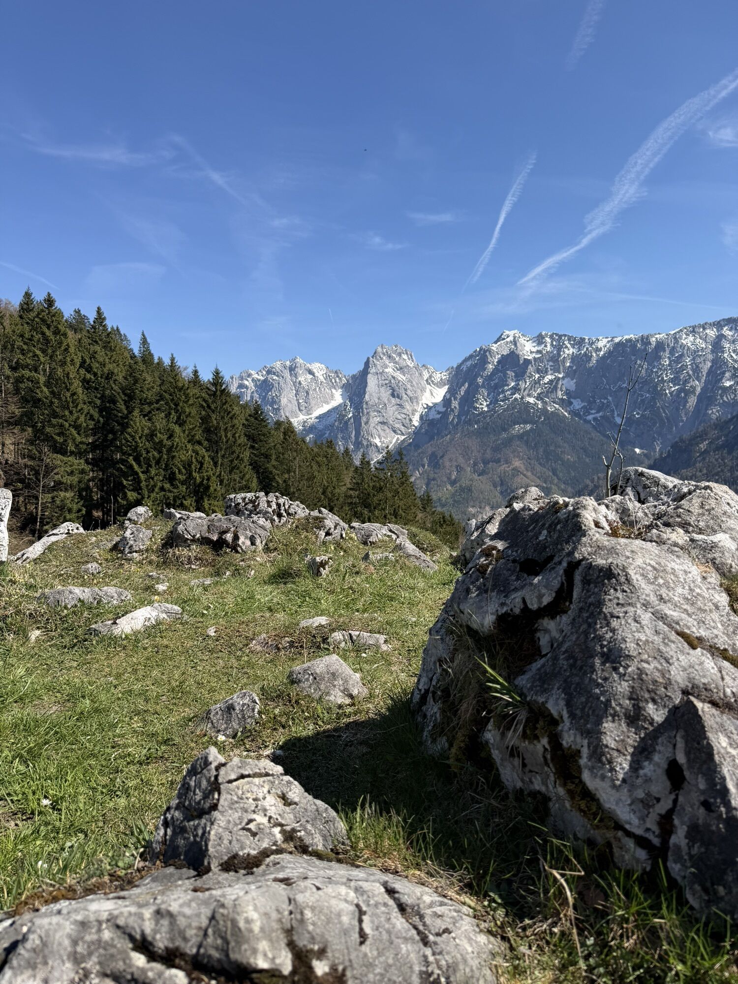
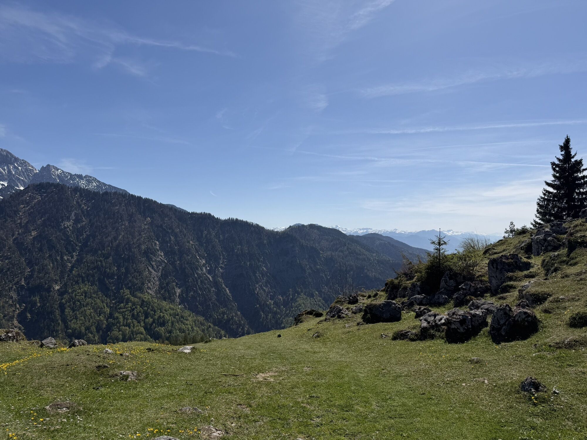
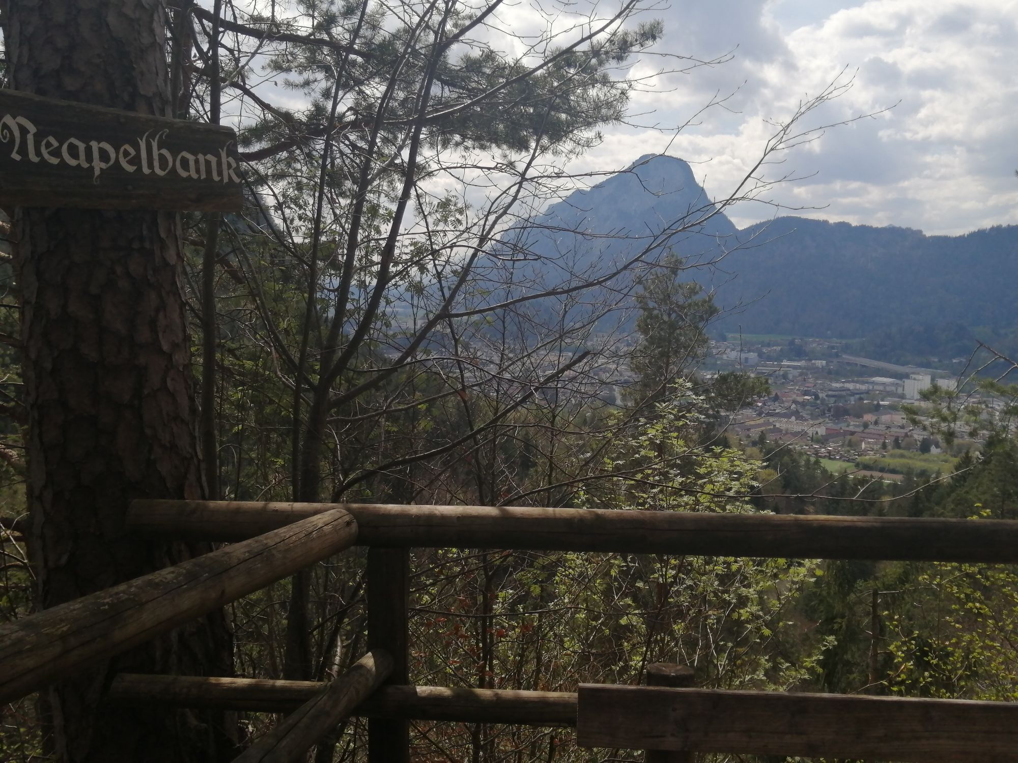
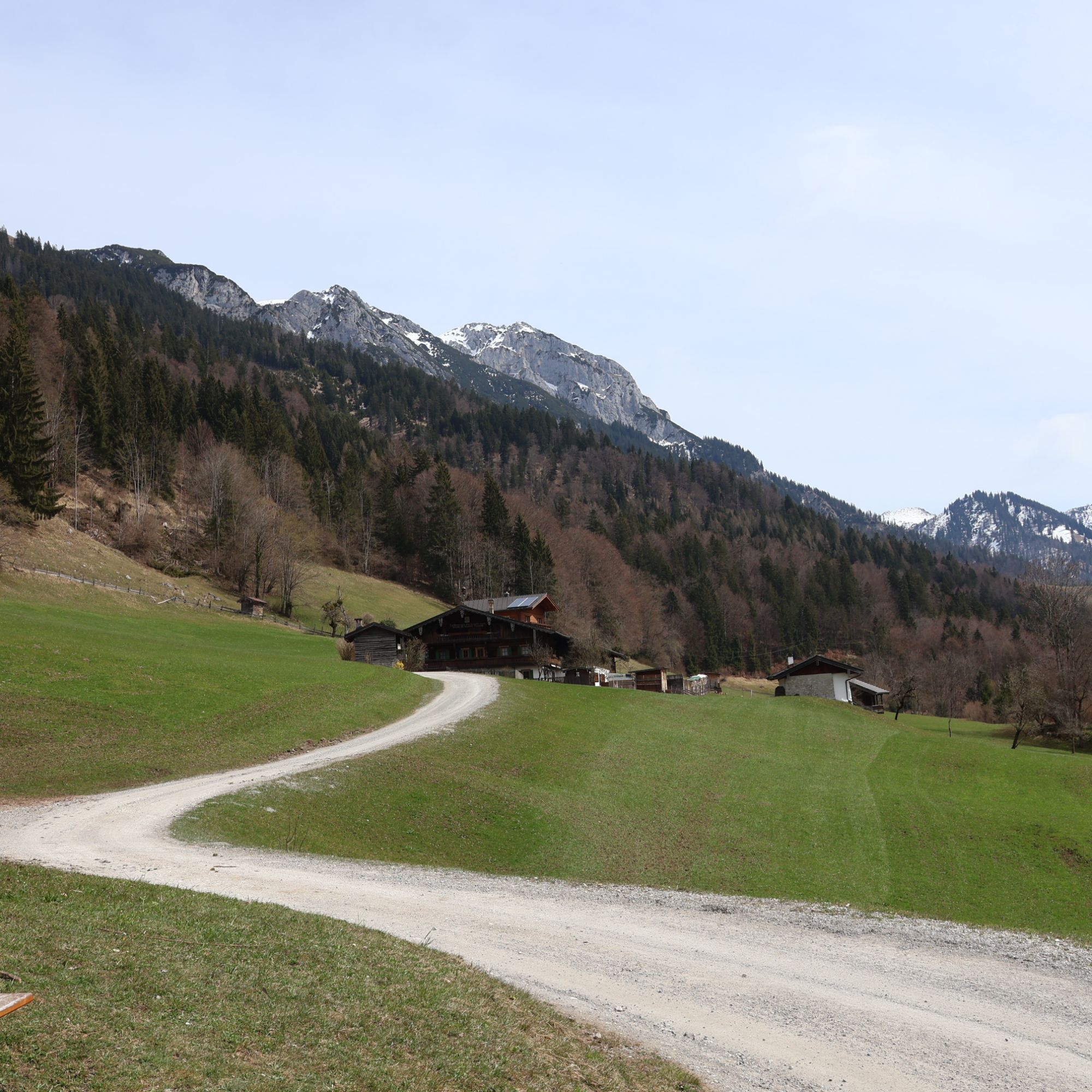
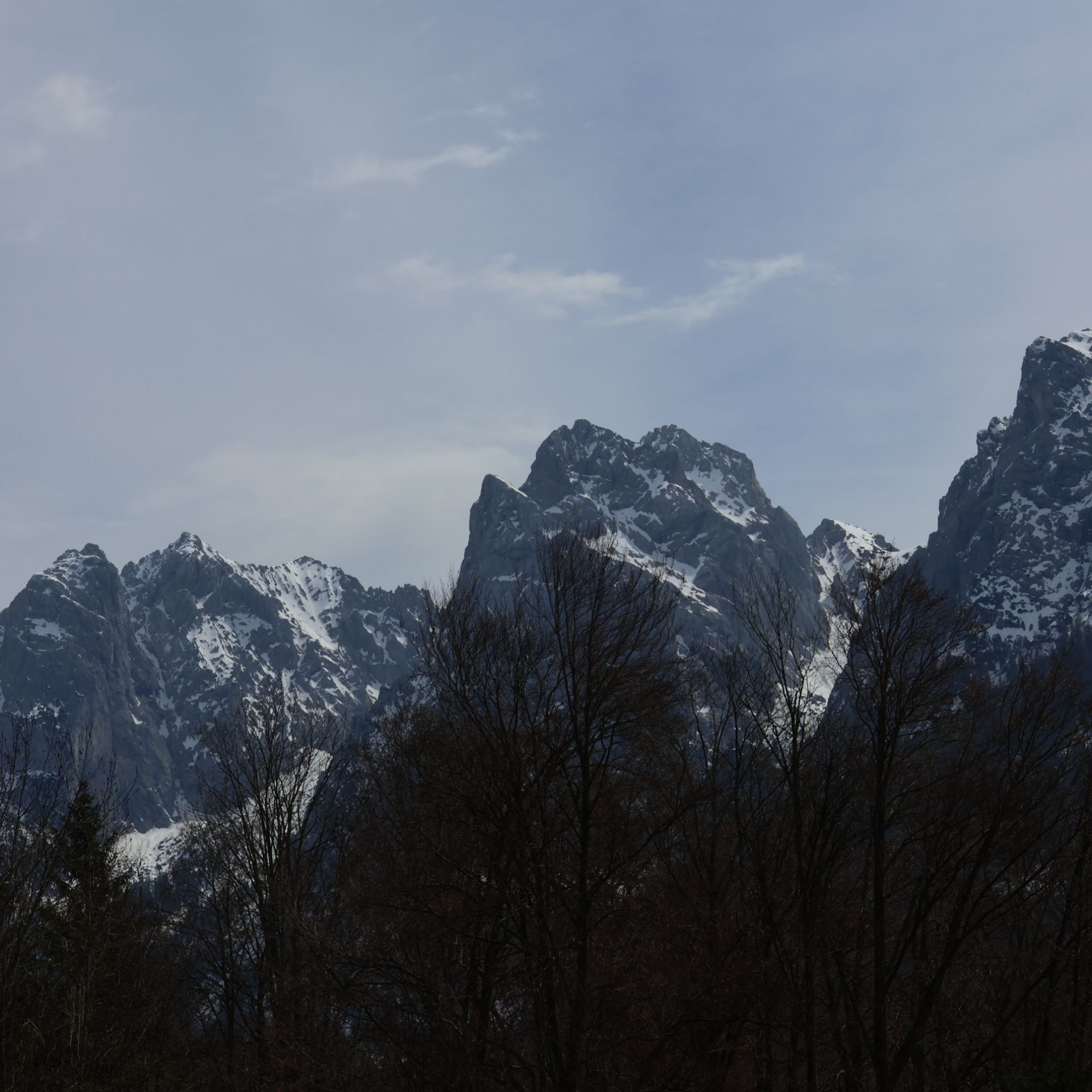
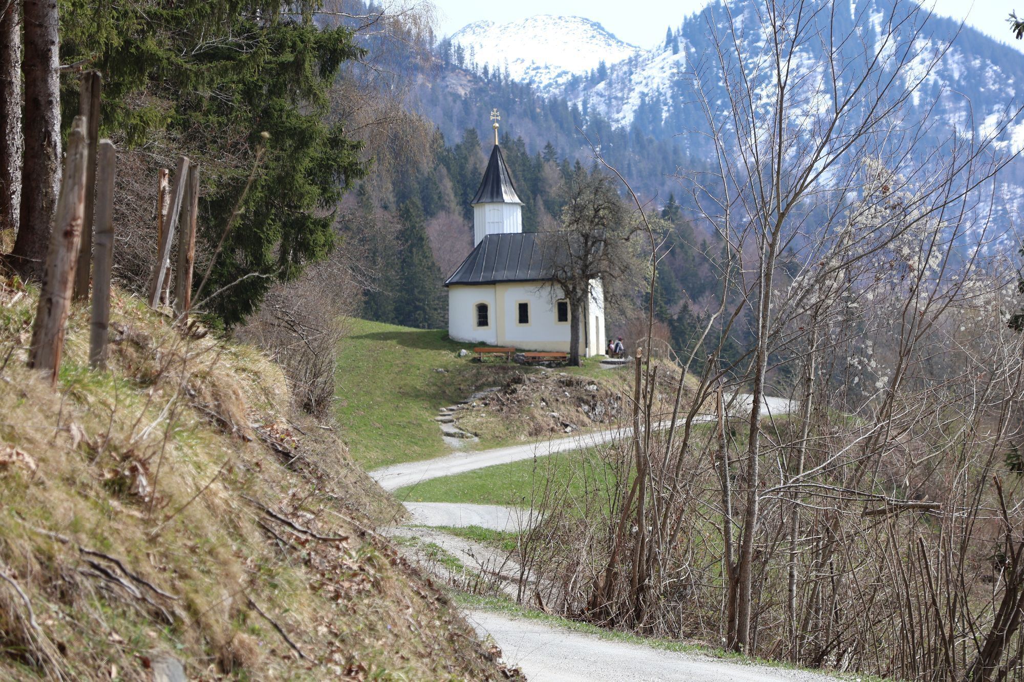
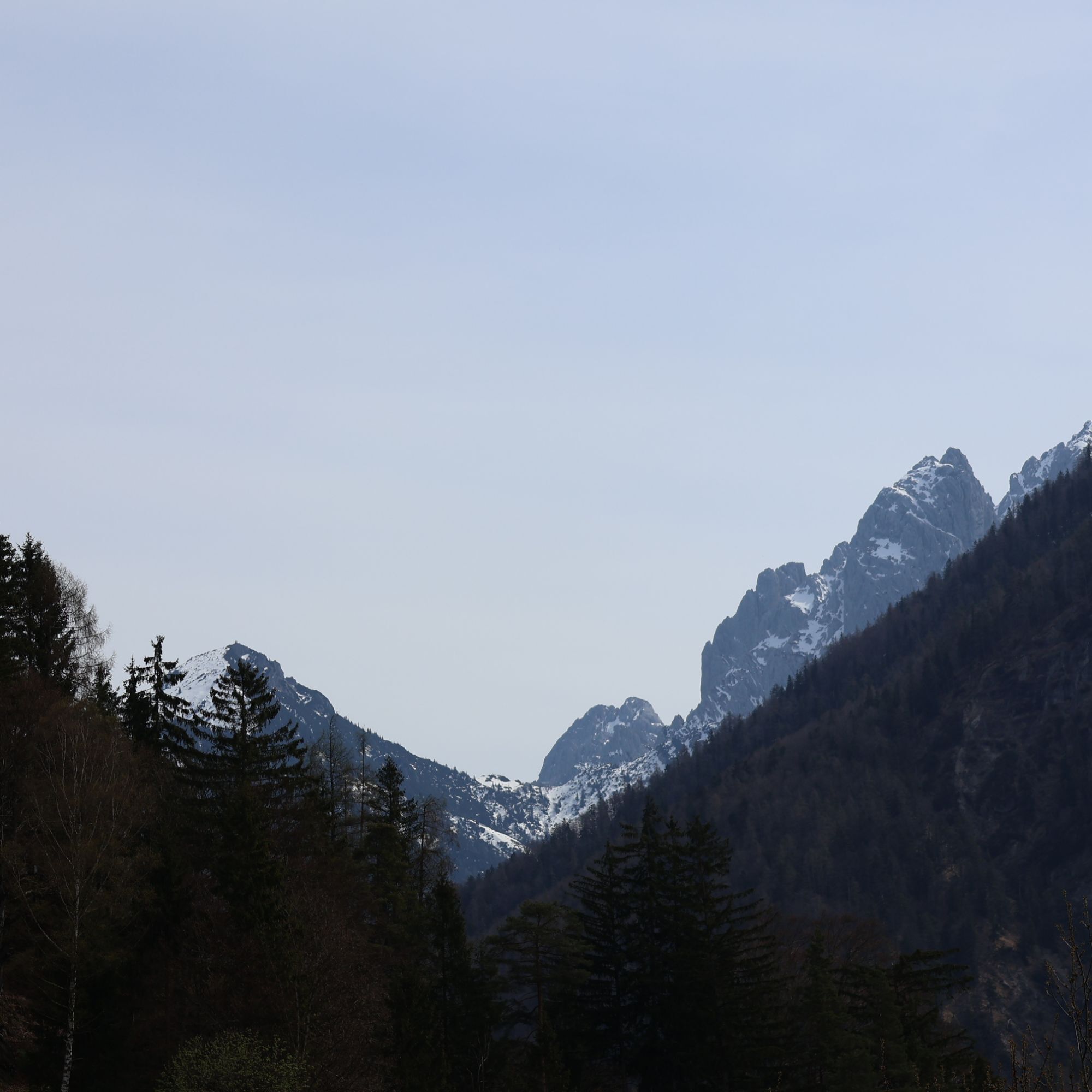
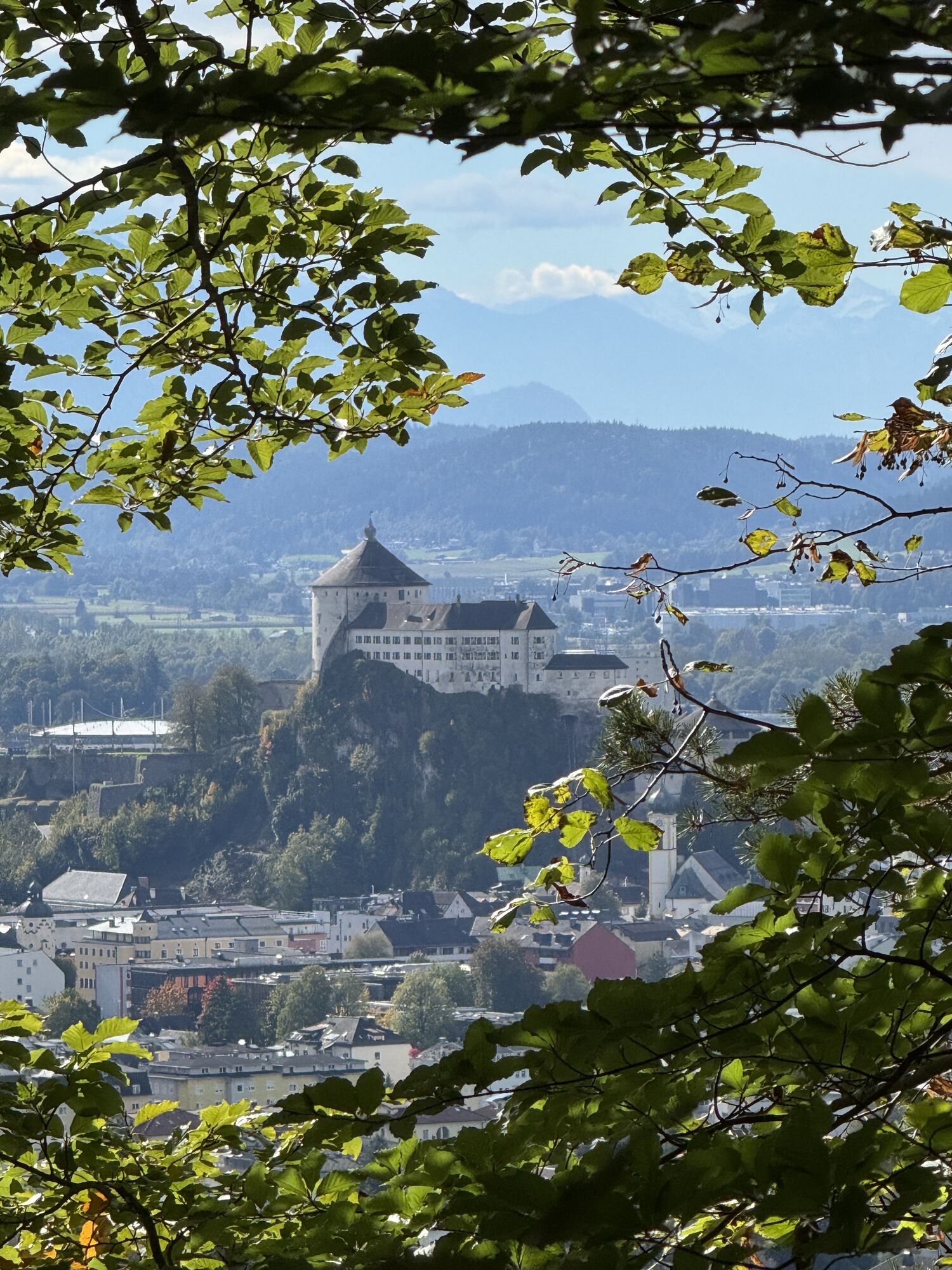
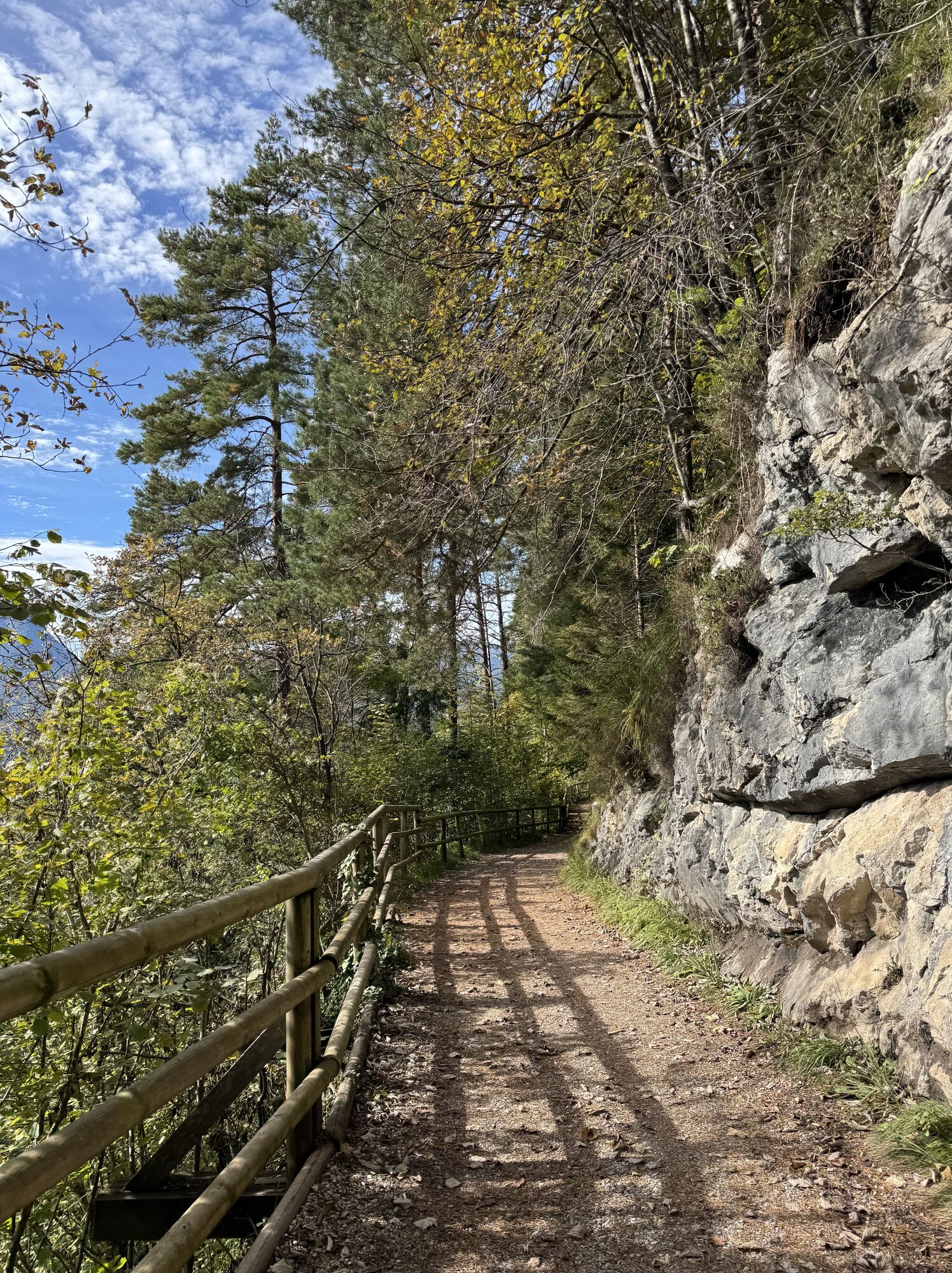
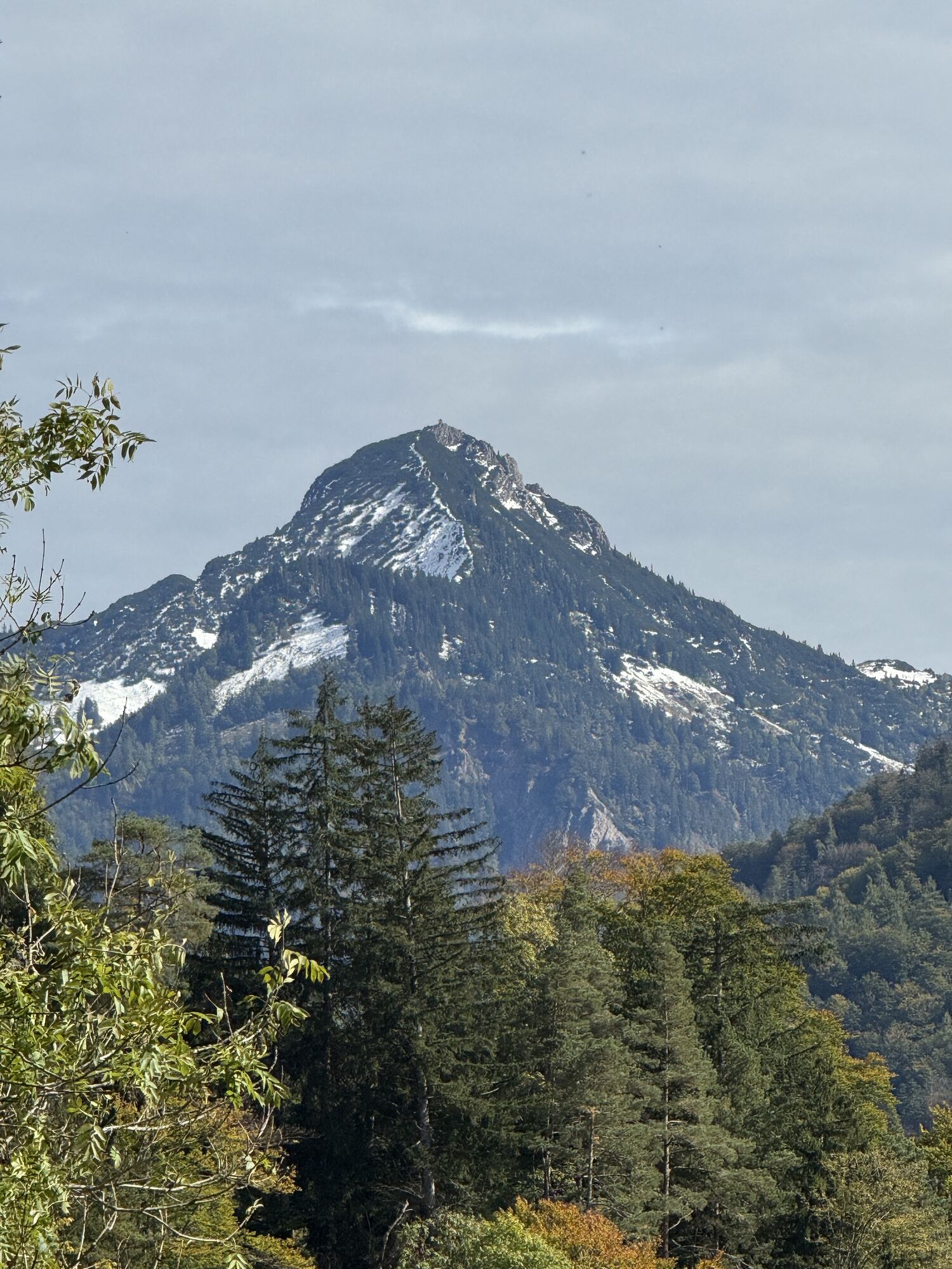
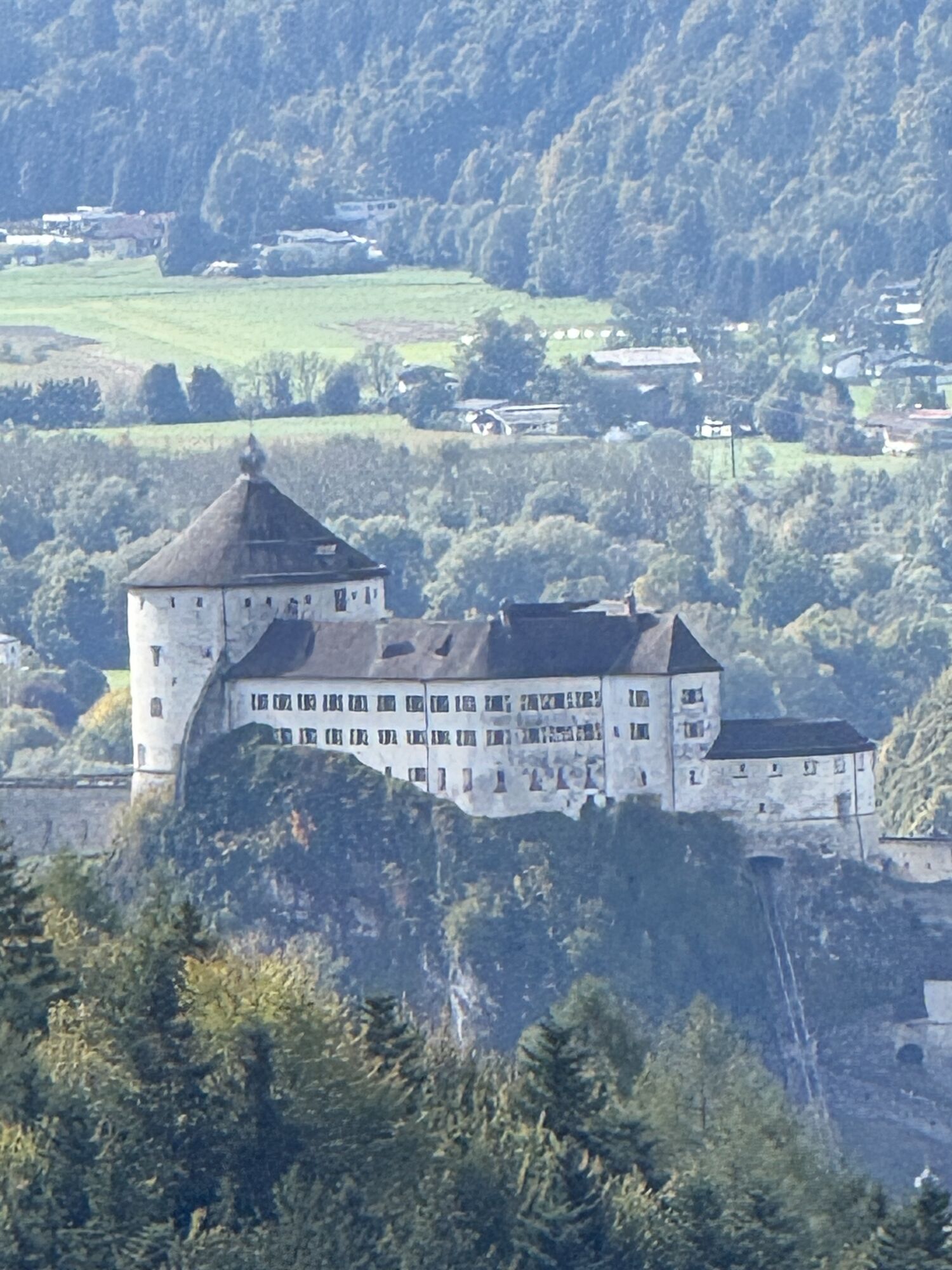
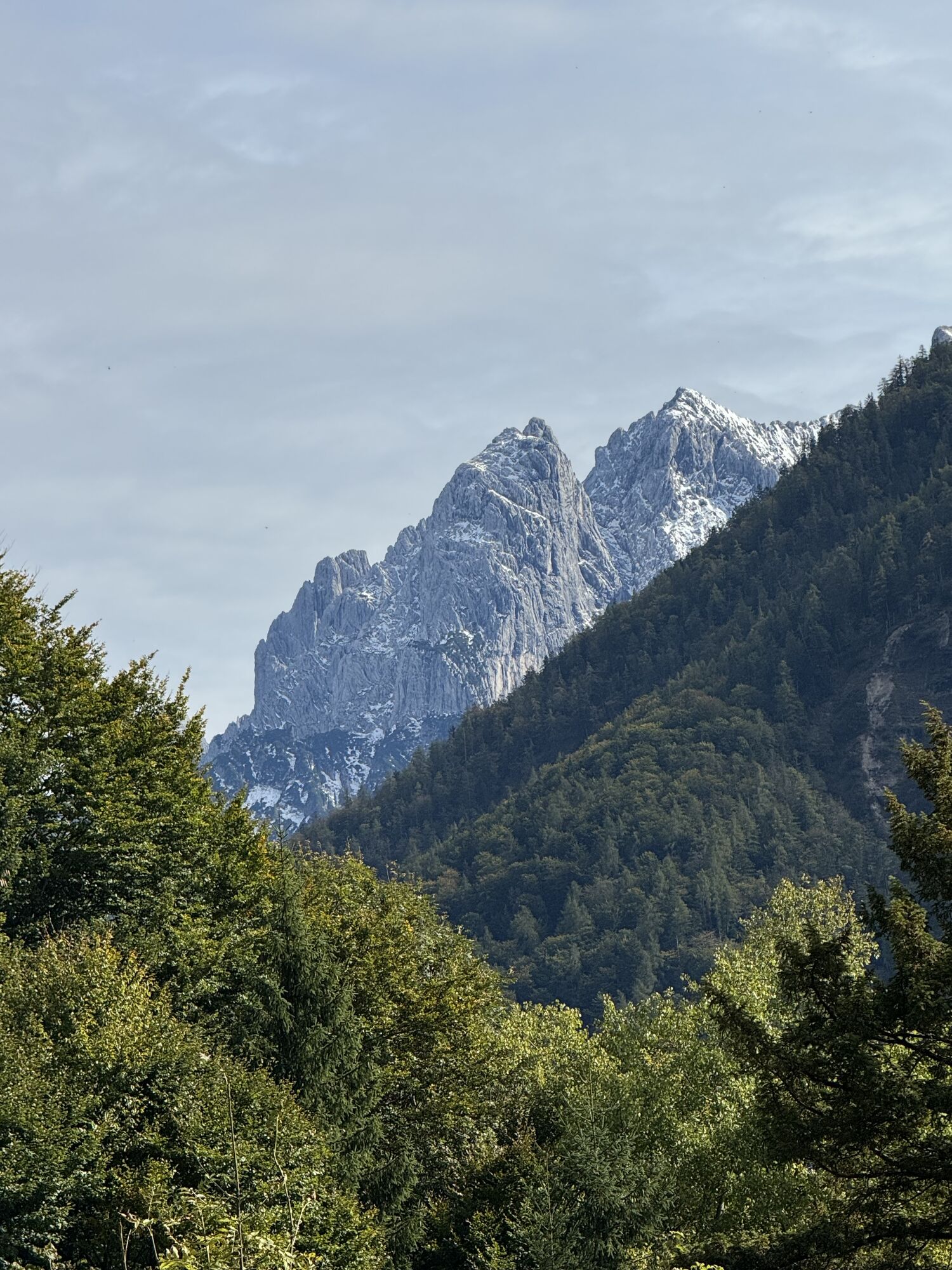
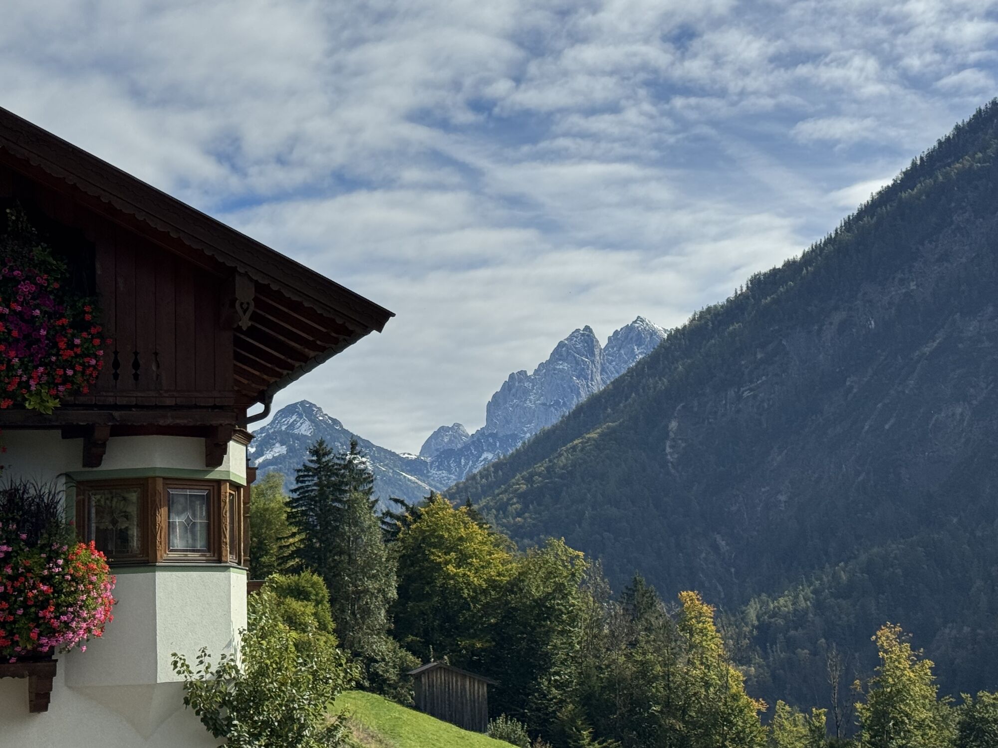
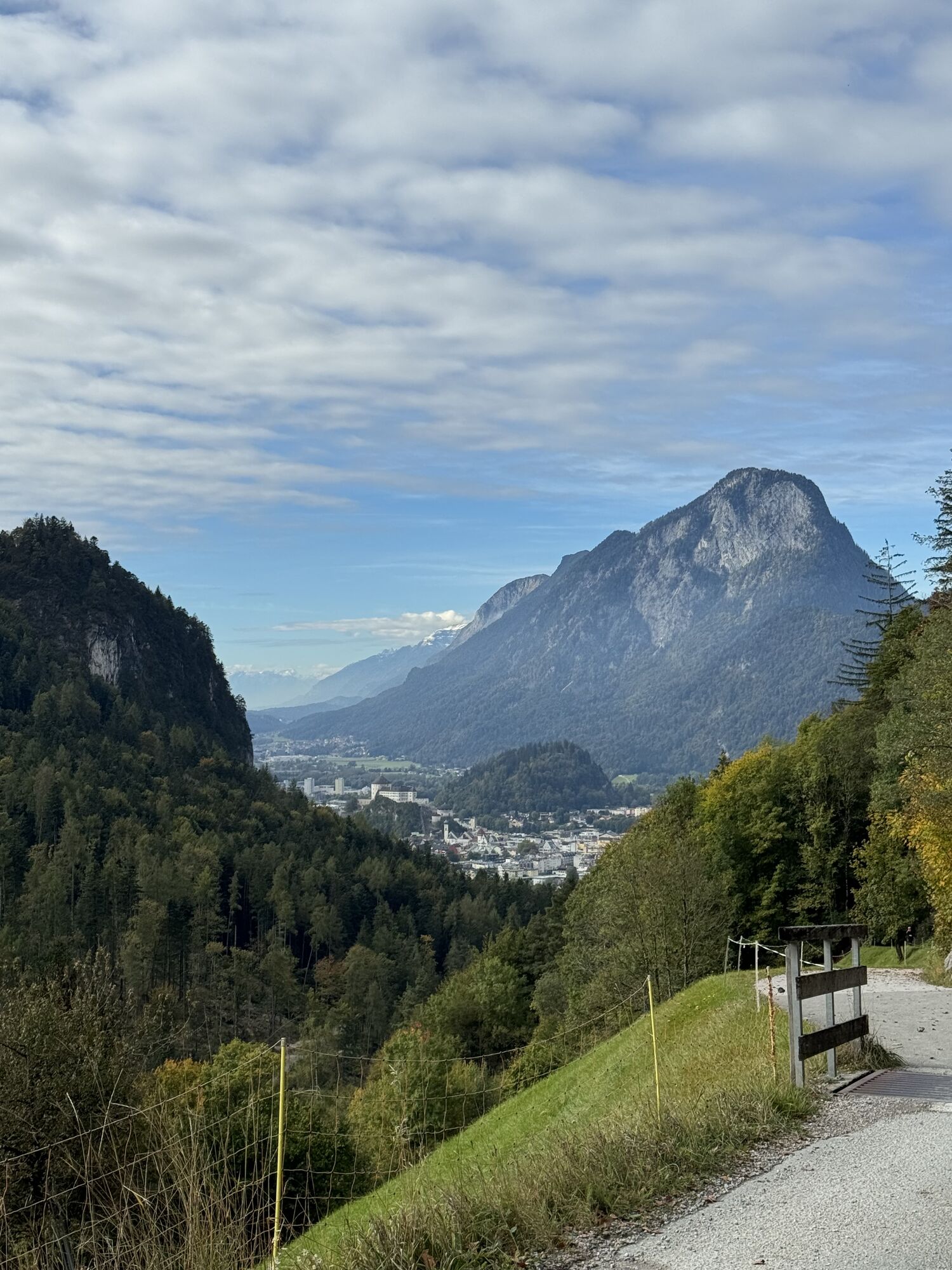
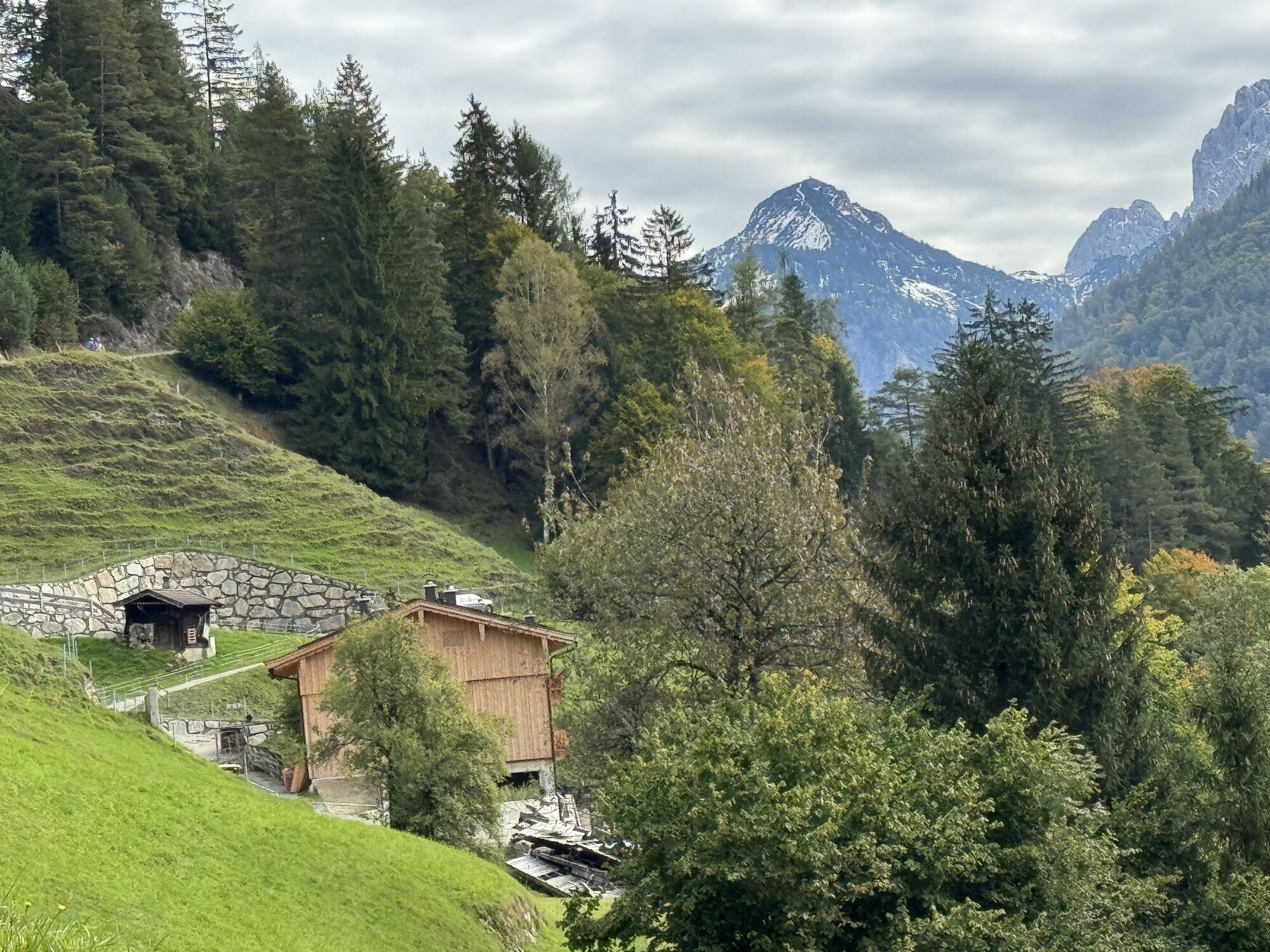
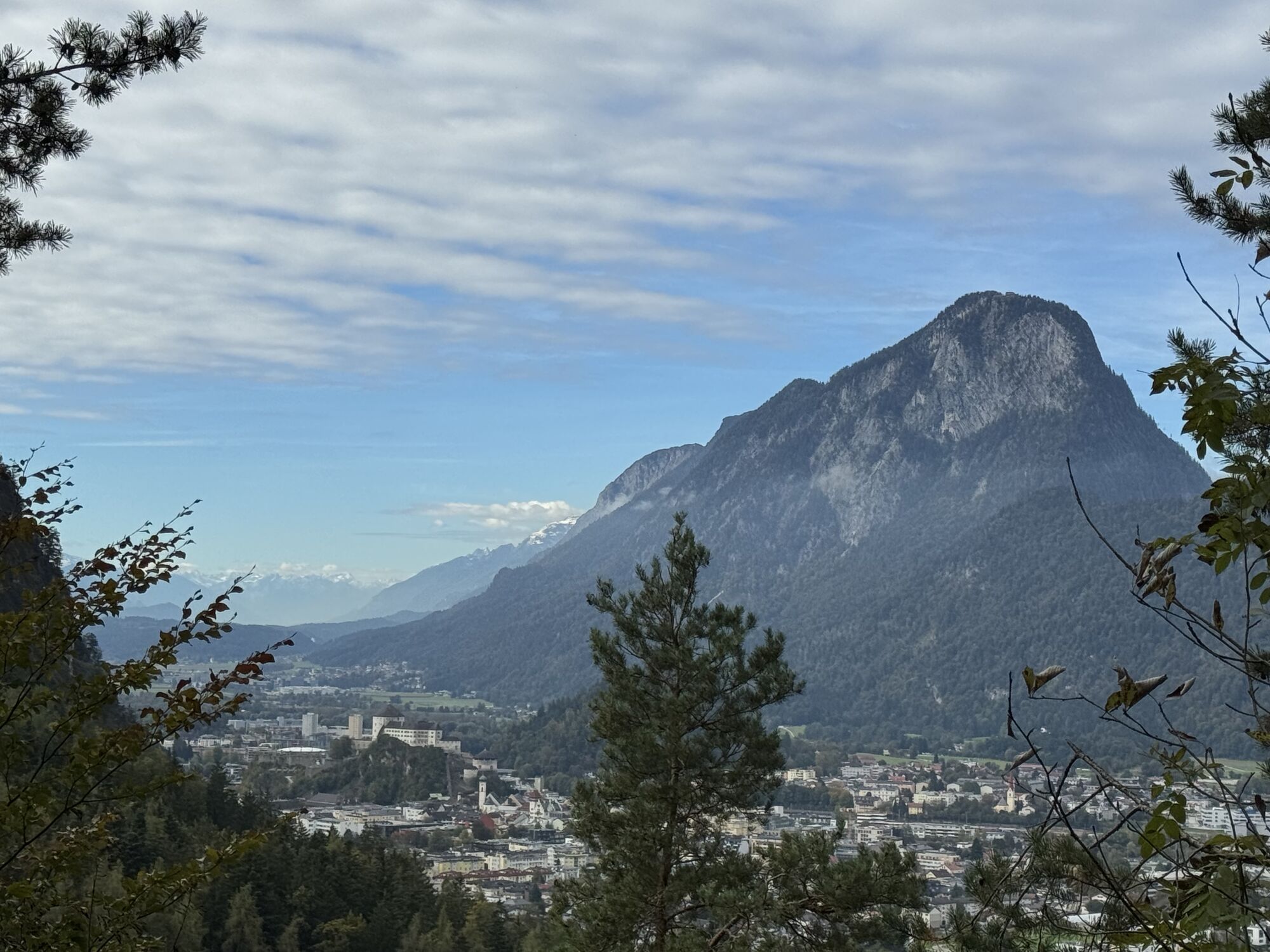
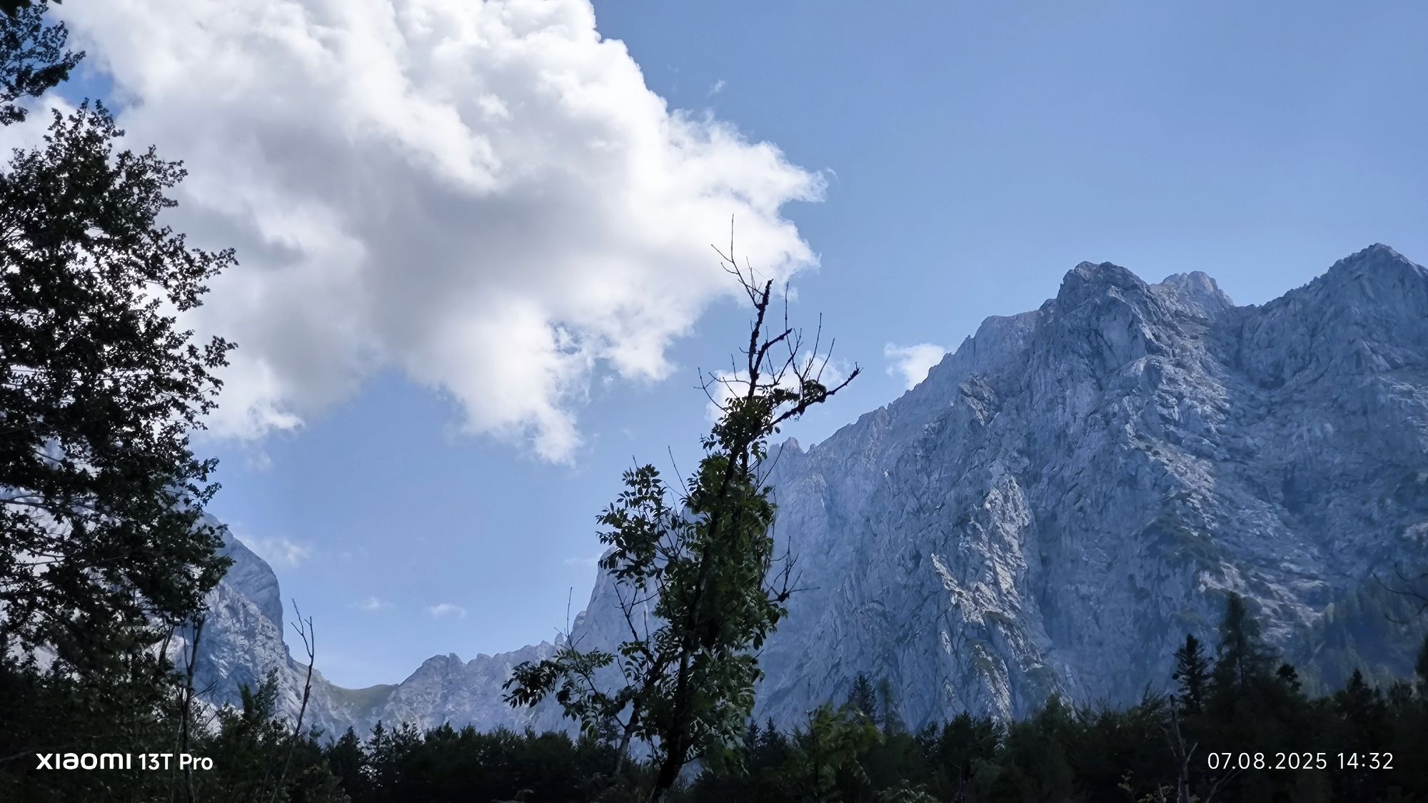
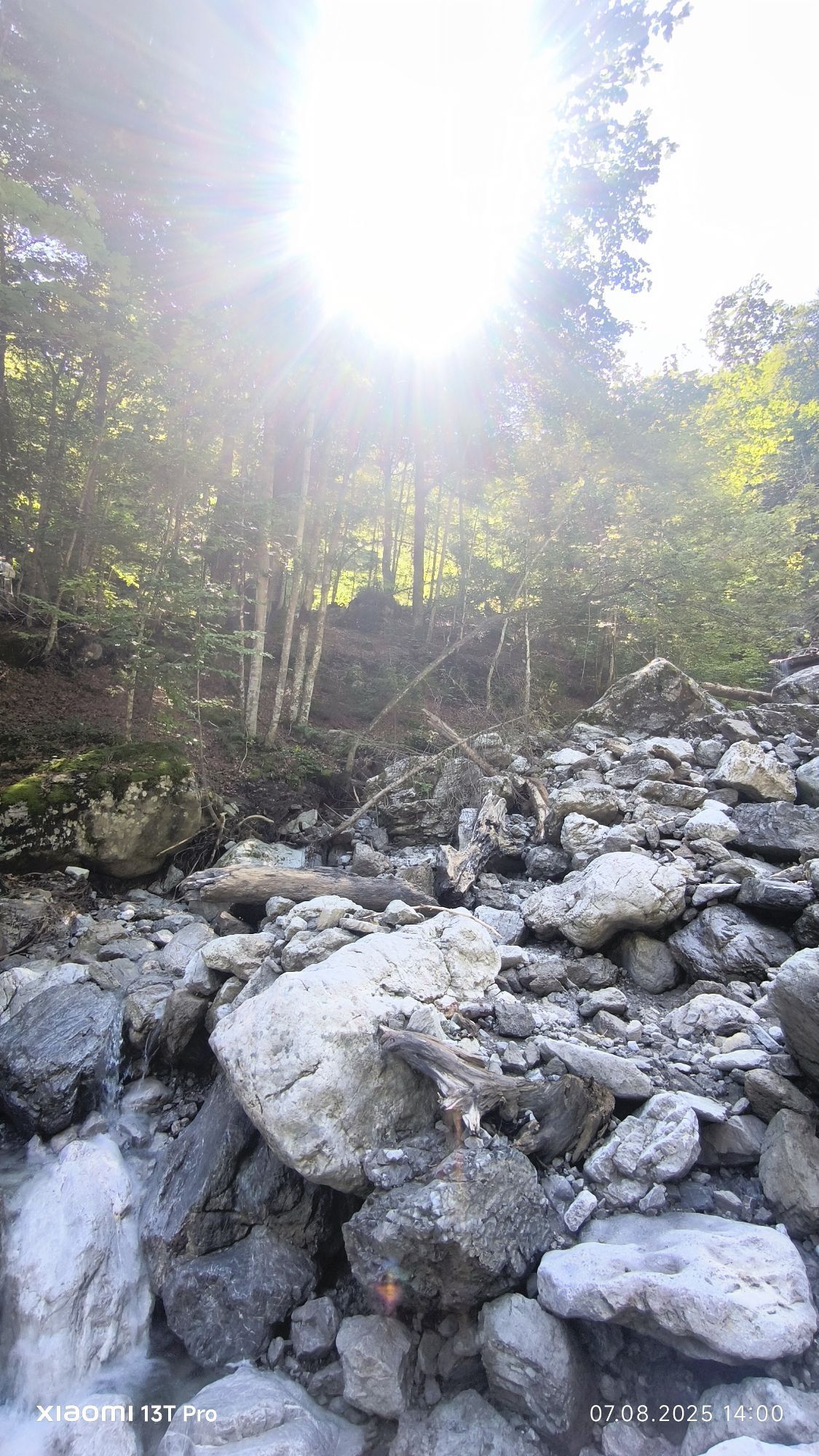
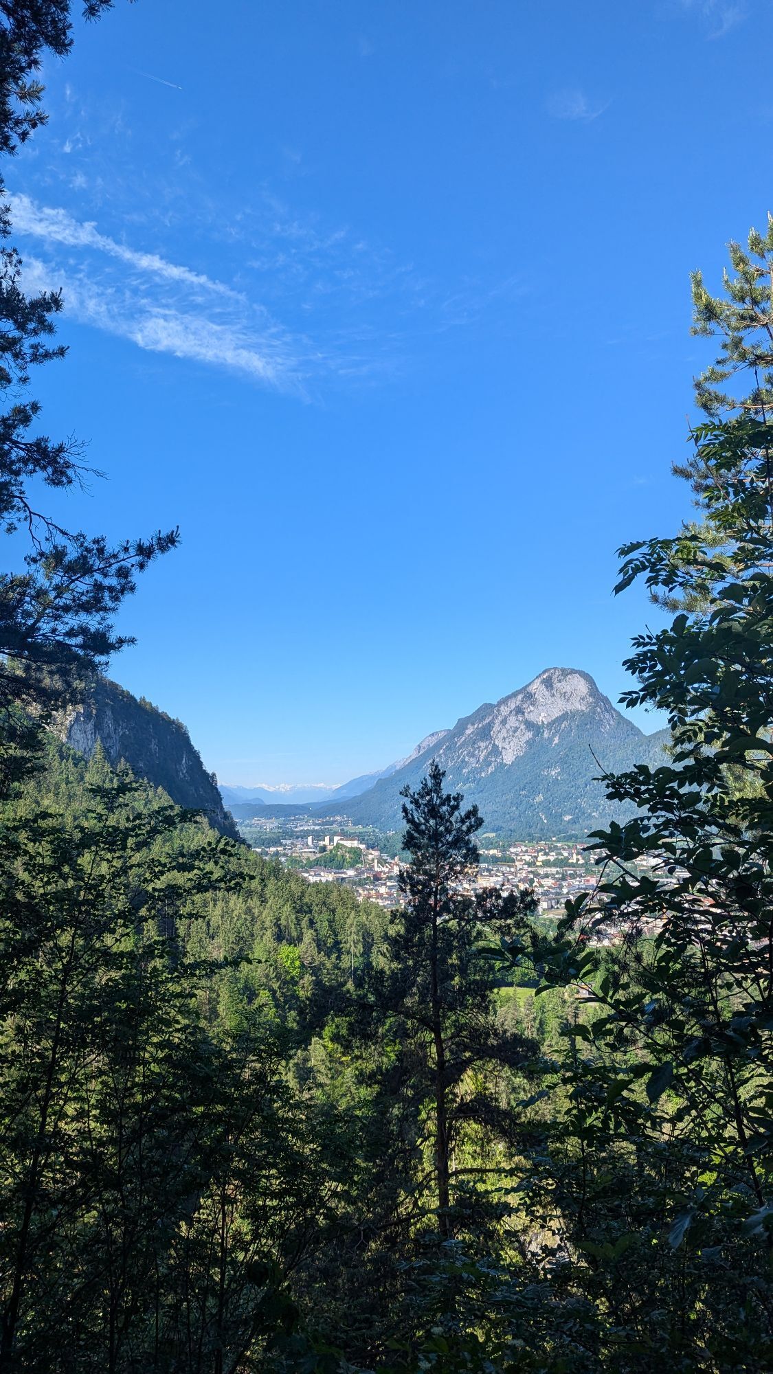
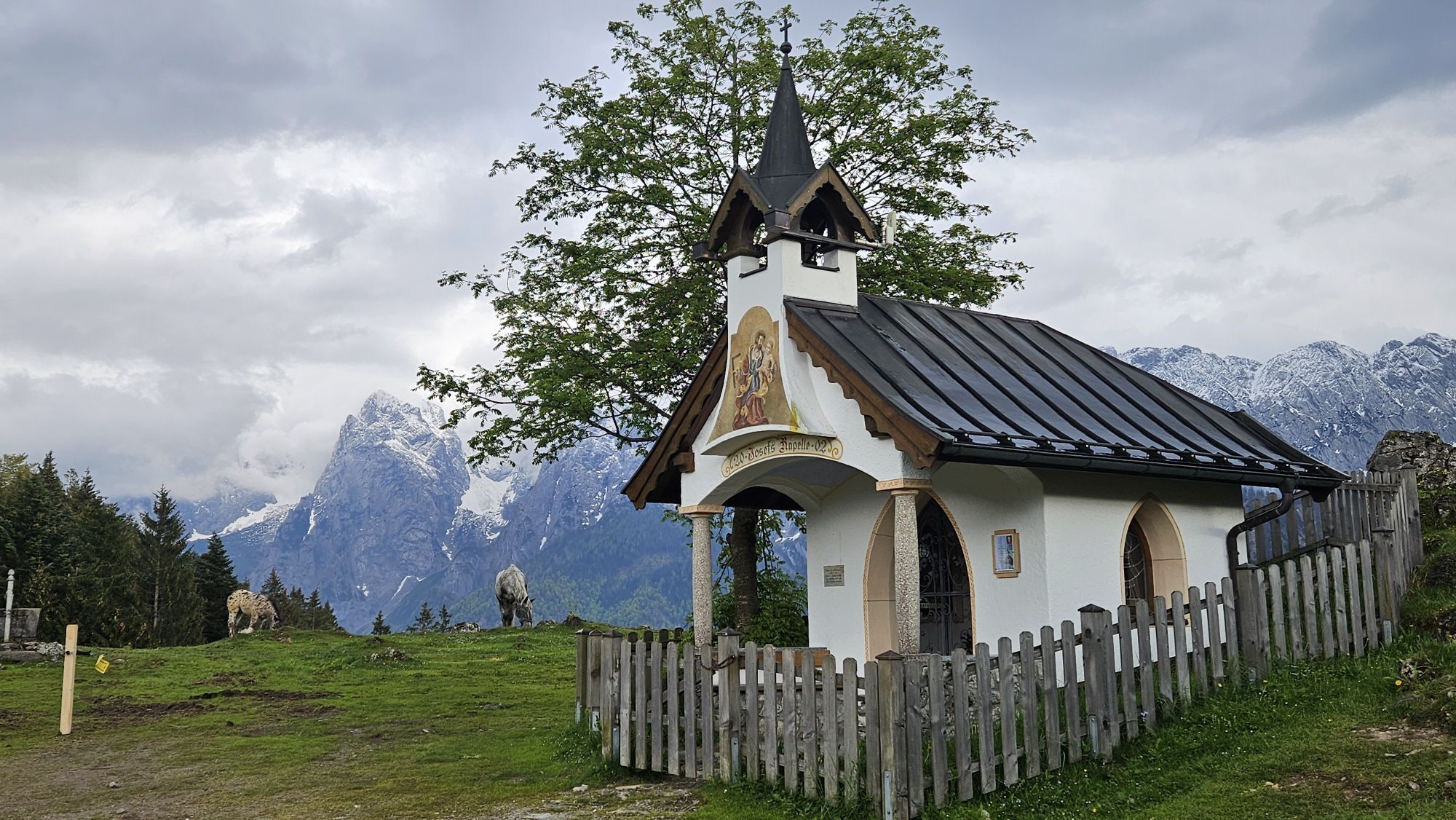
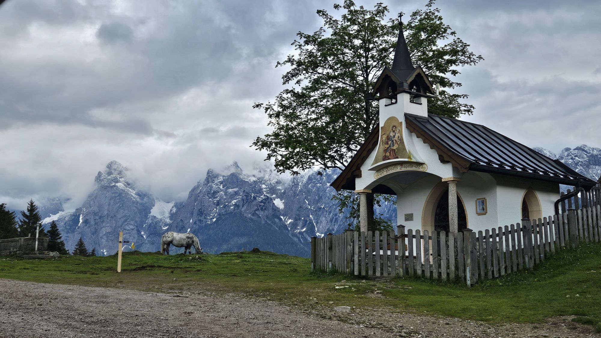
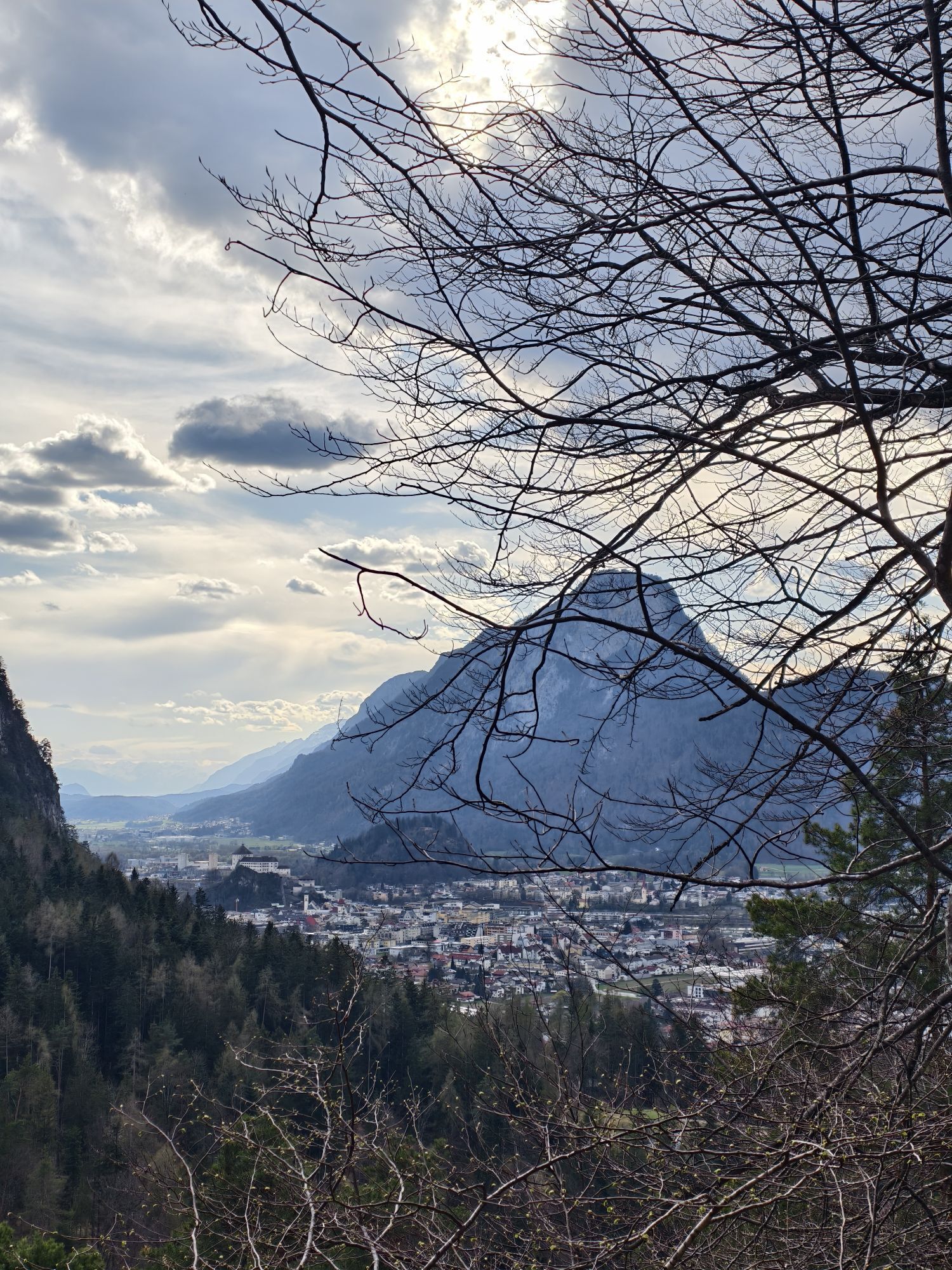
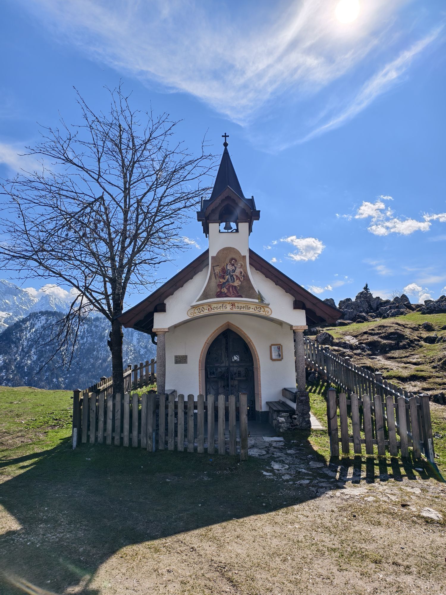
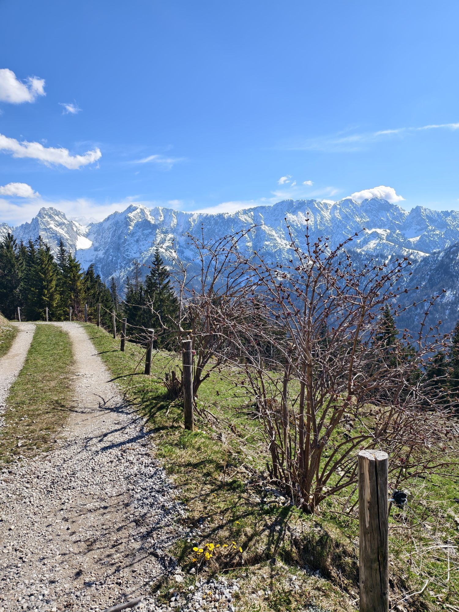
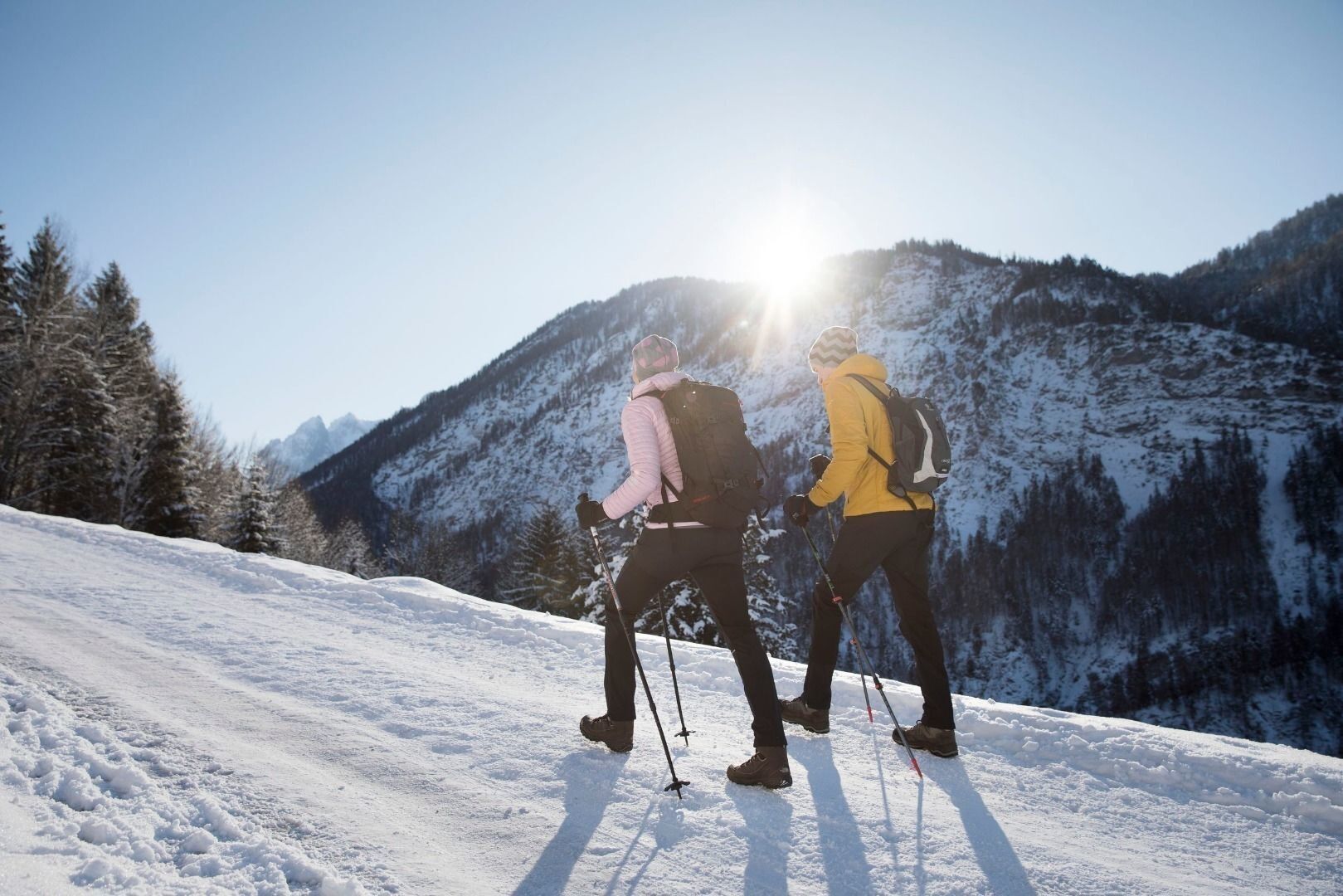
The Kaisertal not only has a beautiful setting, but also has a favourable climate and is protected from winds, so that it is also popular in winter. From the car park to the Kaiseraufstieg, via the Kaiseraufstieg to the actual valley path. After climbing 285 steps, the path above the Zottenhof leads past the Veitenhof and over the Pfandl Chapel, the Pfandlhof and the BergKhof to a fork in the path. Here you keep left and reach the Antoinius Chapel. Within calling distance is the Hinterkaiserhof with a snack station. From here you have a beautiful view of the Gamsberg opposite or further into the Kaisertal valley to the Totenkirchl. The way back follows the same path and offers many opportunities to stop for refreshments in the traditional inns along the way. The path runs along the southern slope of the Zahmen Kaiser and is therefore in the warming winter sun.
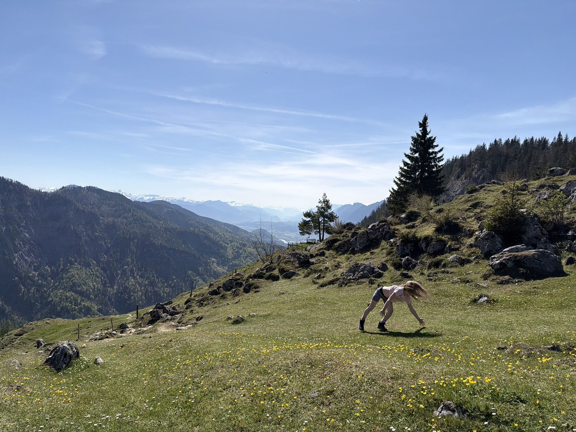
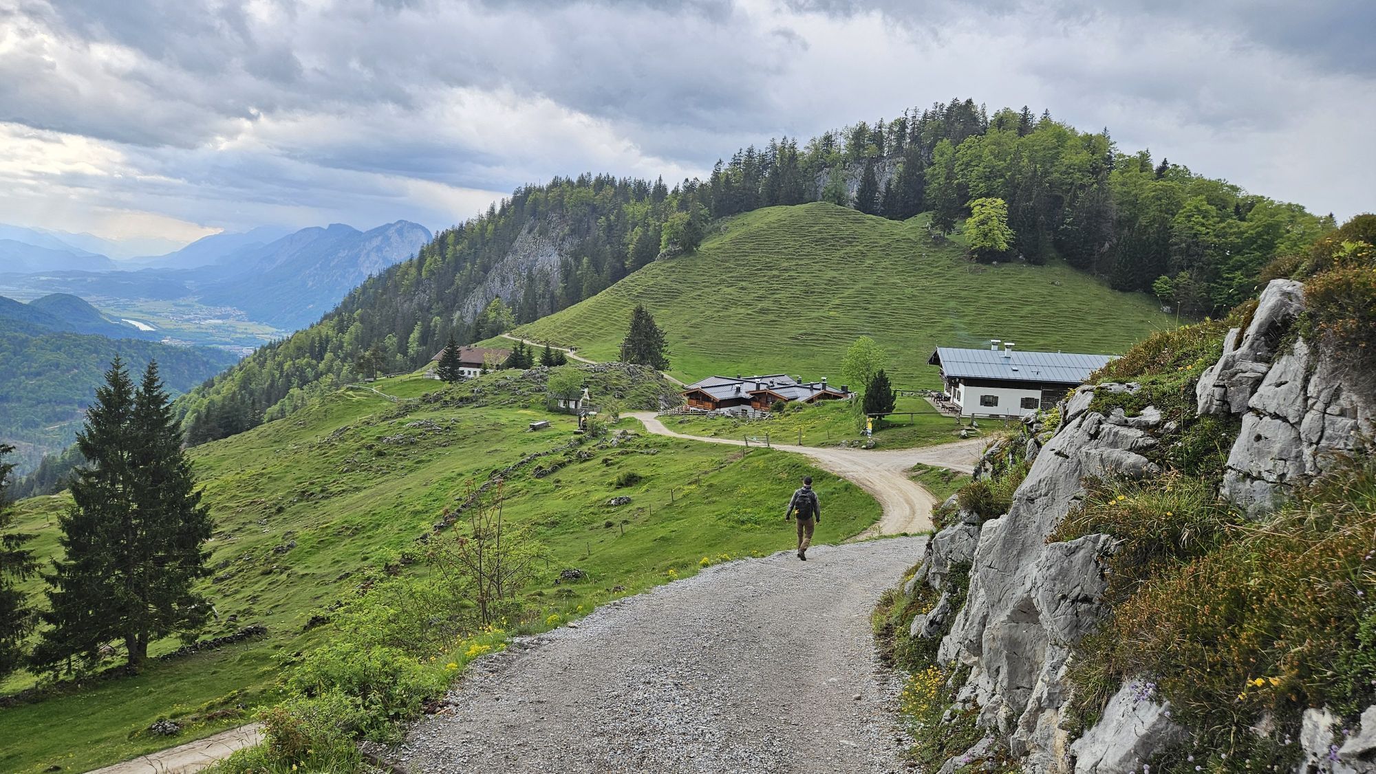
Variant: If you want to go further up, you can follow the forest road from Hinterkaiserhof to the Ritzau Alm or Vorderkaiserfeldenhütte and return to the valley on the same route. Additional time there and back from Hinterkaiserhof 3 h 45 min.

Clothing adapted to winter temperatures (warm, breathable, etc.),
Food and drink,
First aid equipment,
Mobile phone with full battery,
Hiking map and guide literature,
Sun protection (sunglasses, sunscreen and cap),
Telescopic poles,
Shoe spikes for walking on ice or snow
A12 exit Kufstein Nord, at the roundabout direction Ebbs, at the next roundabout 1st exit direction Kaiseraufstieg.
City bus line 2 or Regiobus line 4030 to stop "Ebbs Kaiseraufstieg".
Kaiseraufstieg, subject to a charge.

Oblíbené prohlídky v okolí
- 5,0
Priener Hütte
středníTuristika 7,99 km - 4,7
Musikantensteig zur Naunspitze
středníTuristika 8,96 km - 4,6
Geigelstein
středníTuristika 14,5 km - 4,5
Über Hintersteinersee und Walleralm aufs Hochegg
světloTuristika 12,2 km - 4,5
Wanderung: Spitzstein und Altkaseralm von Sachrang
středníTuristika 4,03 km - 4,6
Hintersteinersee
středníTuristika 9,87 km - 4,5
Wanderung um den Hintersteinersee
světloTuristika 5,29 km - 5,0
Stripsenjoch Klettersteige/ Rundwanderung von Griesener Alm über Stripsenjochhaus und Feldberg
středníVia ferrata 10,2 km - 4,2
Bergdoktor Wohnhaus "Gruberhof" (Köpfing Hof) Rundeweg-Söll
světloTuristika 8,70 km - 5,0
Kirchdorf: Stripsenjoch Klettersteige
heavyVia ferrata 3,76 km

Pěší turistika a stopování


Nenechte si ujít nabídky a inspiraci pro vaši příští dovolenou
Vaše e-mailová adresa byl přidán do poštovního seznamu.