


Zöblen - High Trail - Tannheim
Úroveň obtížnosti: 1
Fotografie našich uživatelů
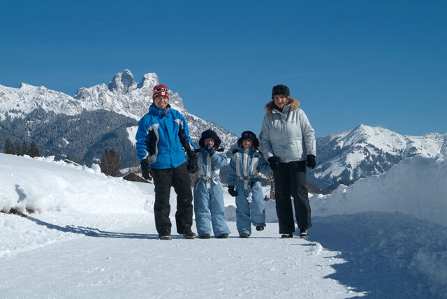
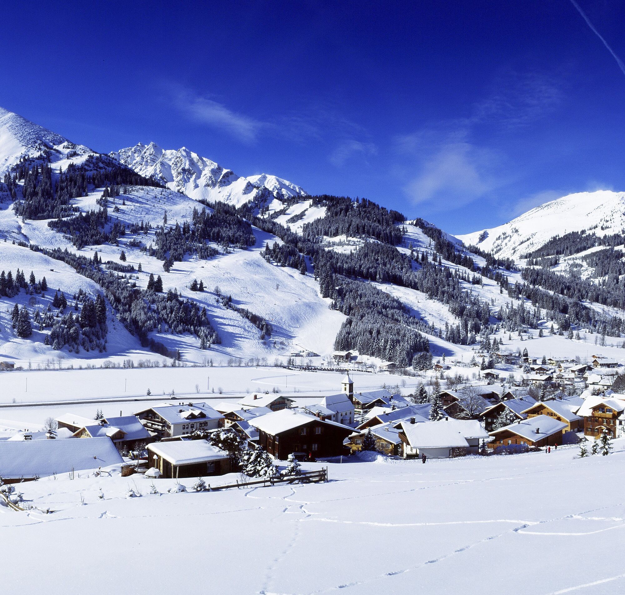
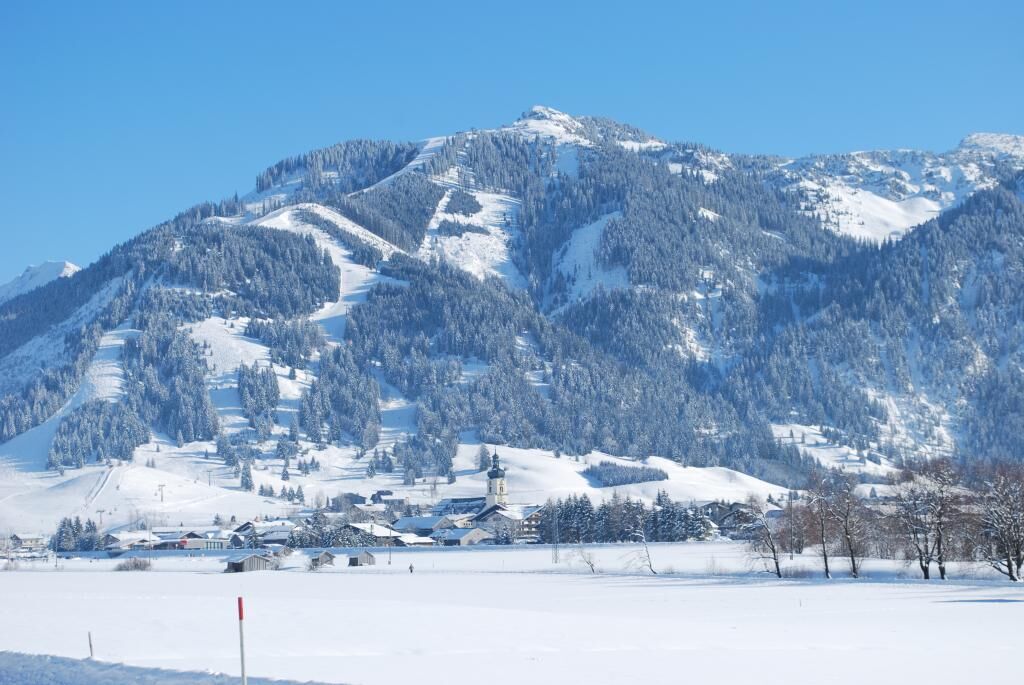
It doesn't always have to be skiing, snowboarding, or cross-country skiing. On nearly 81 kilometers of cleared paths, hikers wander through the snowy fairytale landscape. Cozy huts invite you to stop along...
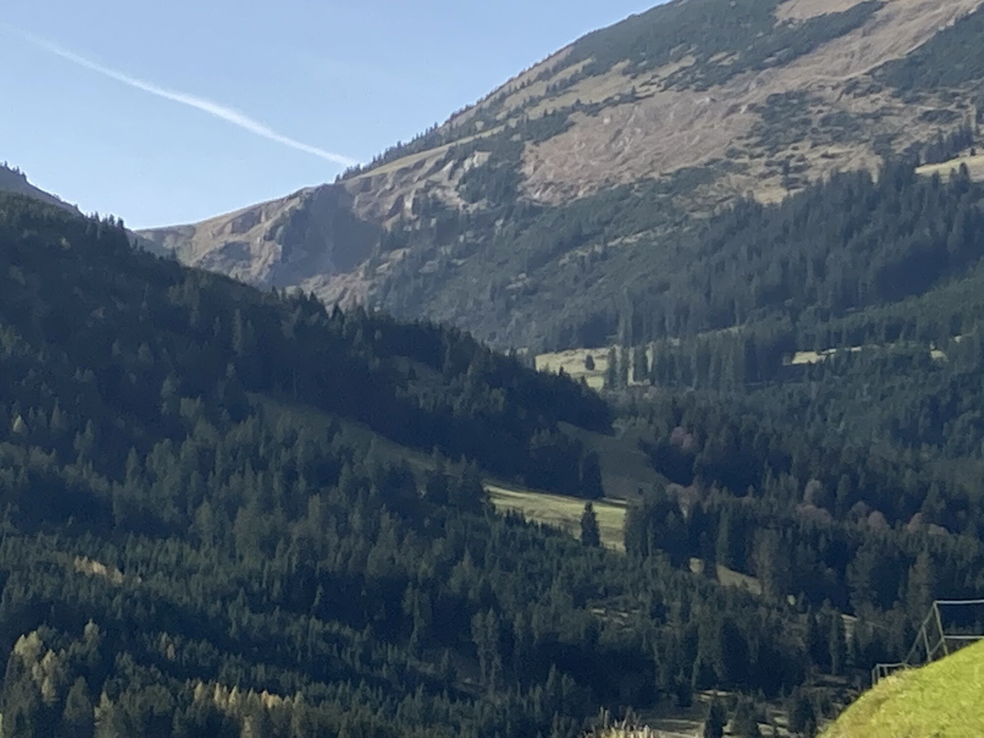
Along the approximately 81 kilometers of cleared hiking trails, there is so much to discover and see, so much fresh air to breathe that every step becomes a pleasure - and the inns and cafés along the routes offer ample opportunities to refresh and warm up. Those wanting something really special can join a guided snowshoe hike. For those aiming high, the Tannheimer Tal offers two options to summit a peak even in winter: the Neunerköpfle in Tannheim, with the largest summit logbook in the Alps, or the Gamskopf with the panorama informer in Grän.

From the parking lot at the western entrance of the village, head north through Zöblen and turn right before the bridge towards Tannheim. Pass the campsite, cross the small footbridge and continue towards Tannheim. Turn right at the chapel and walk parallel to the Vils river back towards Zöblen. Return to the small footbridge in front of the campsite and turn left towards the federal road. Walk briefly east along this road to access the path through the Zöbler Moos. This path leads back to the starting point.
Ano
Ano
Ano
Ano
Modern and well-maintained equipment (shoes, poles, and clothing) not only provides significant safety but also makes winter hiking much easier. Don't forget sun protection (high SPF and possibly sunglasses) as well as enough fluids.
Note that winter hiking also carries an increased risk of accidents and injuries. Especially in winter, pay close attention to the trail conditions. Suitable clothing, good footwear, and possibly hiking poles provide additional safety. Stay on marked paths.
From the Tyrol side, go through Reutte on the B198 towards Lechtal to Weißenbach, cross the Gaicht pass along the B199 to the Zöblen exit, to Parking lot West.
Take the train to Sonthofen, Pfronten/Ried, or Reutte, then continue by bus to Zöblen.
Parking lot West in Zöblen
1
Tourismusinformation Tannheim
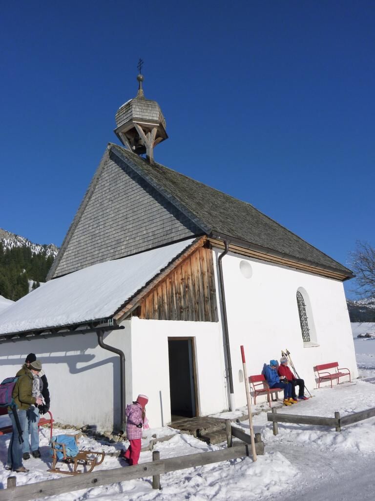
The St. Leonhard Chapel (Plague Chapel) near Kienzen is worth a visit.
Oblíbené prohlídky v okolí
-
4.8
Around Weißensee
světloTuristika 6.12 km -
5.0
Hiking tour to Breitenberg
heavyTuristika 15.6 km -
4.8
Tannheim / Vilsalpsee / Landsberger Hütte
středníTuristika 15.7 km -
4.7
3-Gipfel-Tour
středníTuristika 11.2 km -
3.8
Klassikertour: Auf den Grünten
heavyTuristika 8.50 km -
5.0
Gemeinde Grän, Tirol/Österreich Aggenstein Rundtour über Höhenweg
středníTuristika 9.84 km -
4.2
Tříjezerní túra (oceněná Pečetí kvality Tyrolské horské stezky)
středníTuristika 14.8 km -
4.6
3-Seen Rundtour Vilsalpsee / Schrecksee / Traualpsee
středníTuristika 17.1 km -
4.9
Iseler und Kühgundkopf
středníTuristika 7.63 km -
4.4
Wanderung auf den grünten
středníTuristika 8.31 km
Pěší turistika a stopování


Nenechte si ujít nabídky a inspiraci pro vaši příští dovolenou
Vaše e-mailová adresa byl přidán do poštovního seznamu.