


Bojenweg Haiming - Schlierenzau - Haiming
Úroveň obtížnosti: 1
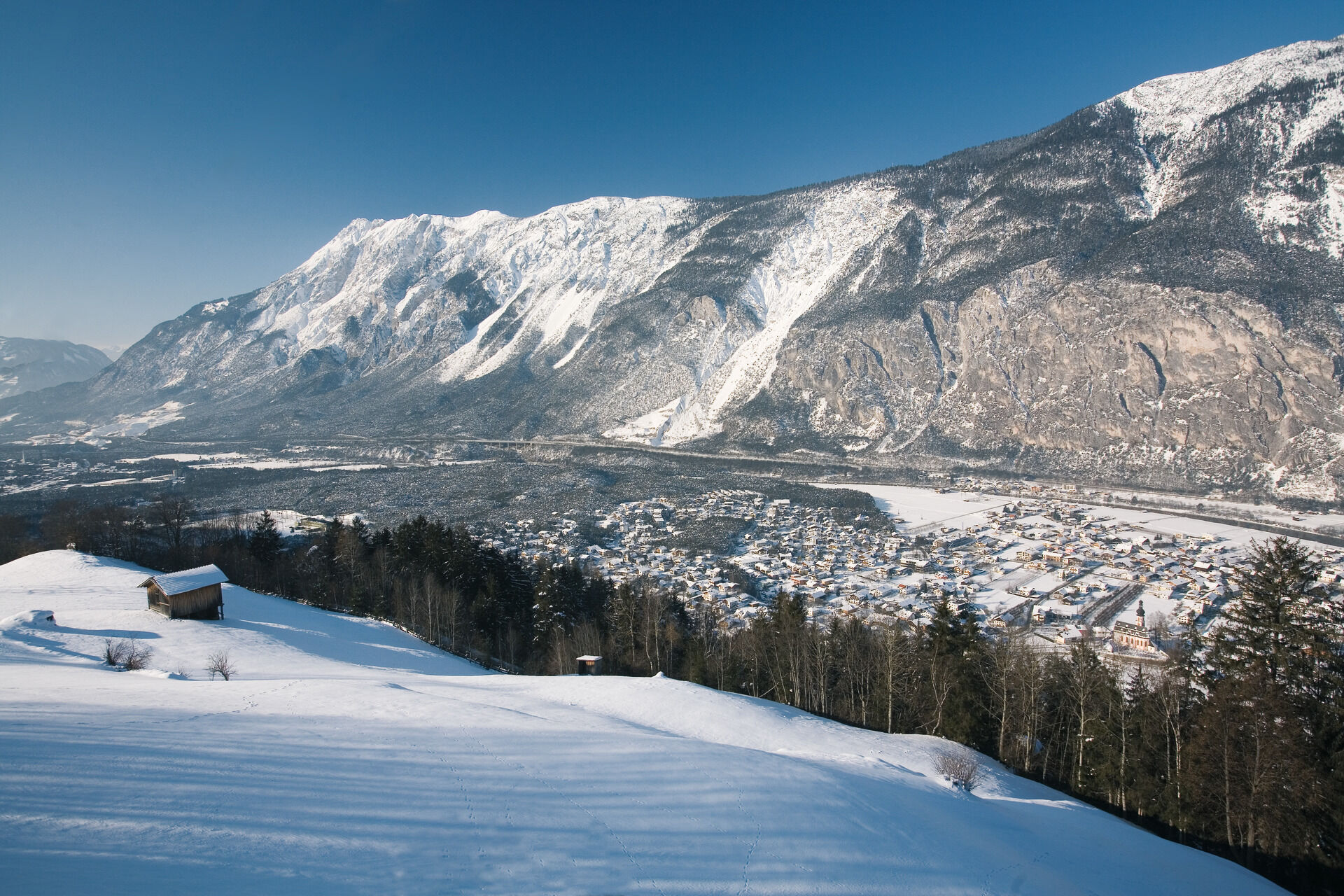
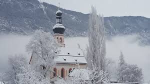
Fotografie našich uživatelů
-

 © Soňa Hupková 1Vytvořeno dne 12.08.2025
 -
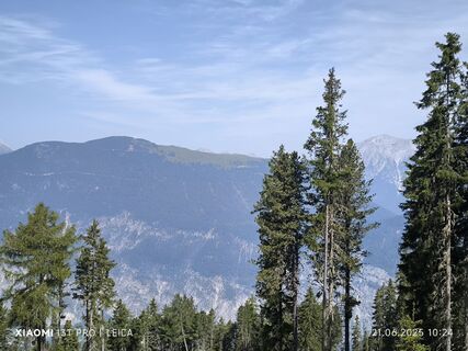
 © Karl-HeinzVytvořeno dne 21.06.2025
 -

 © Johann PüringerVytvořeno dne 24.05.2025
 -
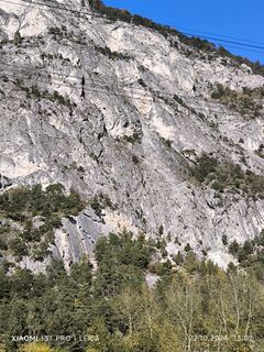
 © Karl-HeinzVytvořeno dne 22.10.2024
 -
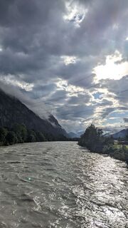
 © Karl-HeinzVytvořeno dne 22.10.2024
 -

 © Martin GlaserVytvořeno dne 10.08.2024
 -
 © Martin GlaserVytvořeno dne 02.07.2024
 -
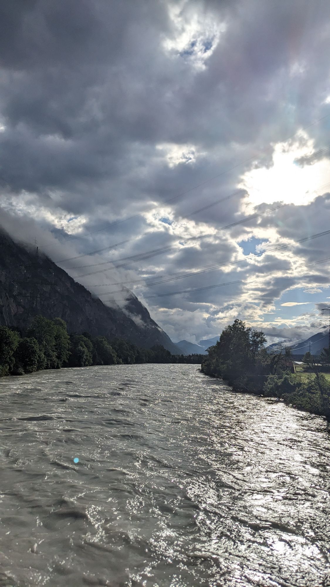
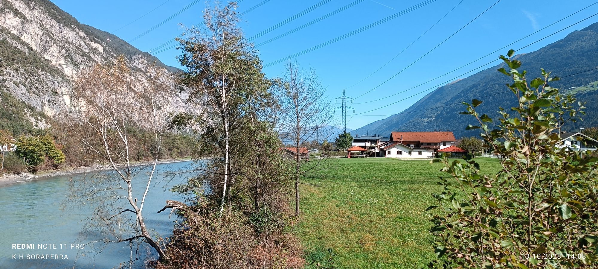
 © Karl-HeinzVytvořeno dne 13.10.2023


From the Haiming town center you walk first on "Alte Bundesstraße" to "Feldweg". From "Feldweg" you walk on over a field and through the forest to Riedern. Cross the suspensionbridge before you reach the...

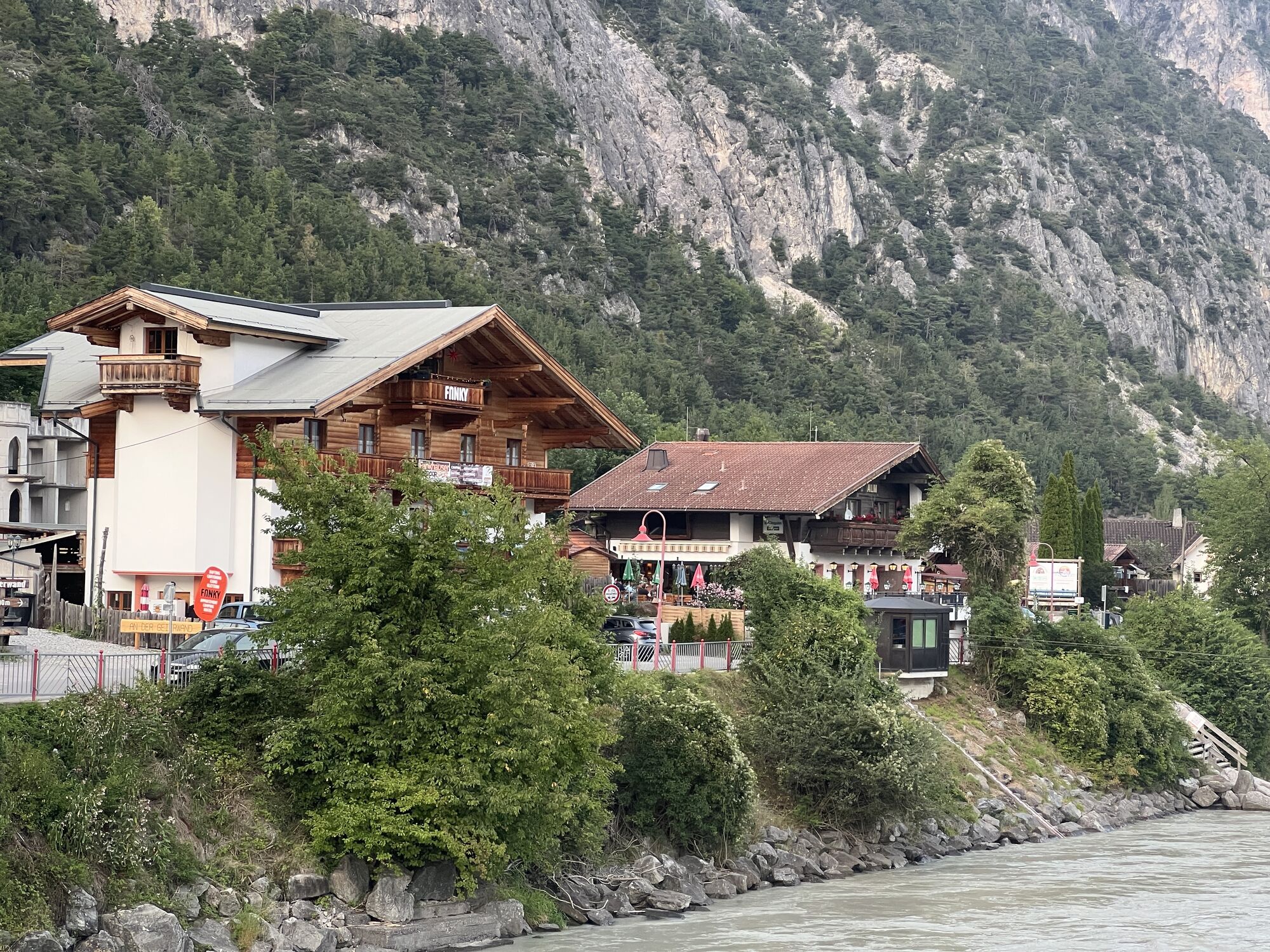
From the Haiming town center you walk first on "Alte Bundesstraße" to "Feldweg". From "Feldweg" you walk on over a field and through the forest to Riedern. Cross the suspensionbridge before you reach the picturesque little place Schlierenzau. Walk back to Haiming along the asphalt road.
Ano
Appropriate equipment such as breathable suitable outdoor clothes for the weather, wind-, rain-, snow- and sun protection, hat and gloves is for all hikes and tours necessary. Please bring a first-aid box, a mobile phone, a walking map and if there is no hut on the way a snack and enough to drink.
Please pay attention to the current weather- & avalanche report: www.oetztal.com/de/winter.html & avalanche-report/albina-web/bulletin/...
The car drive to the Ötztal valley. Situated in Tirol, the Ötztal valley set off in southerly direction and is the longest side valley in the Eastern Alps. The journey with the car leads you through the Inntal valley to the entrance of the valley and further on through the valley. Among the toll motorways you can also use the country roads. A route planner will show you the easiest and most convenient way: www.google.at/maps
The following parking facilities are available in Haiming:
Haiming forecourt municipal office / town center
Haiming sports center / outdoor pool
Raftingeinsteiningtelle Magerbach / via ferrata Geierwand
1
Webové kamery z prohlídky
Oblíbené prohlídky v okolí
-
4.6
Ehrwald / Drachensee / Coburger Hütte / Seebensee
středníTuristika 14.8 km -
4.5
Oetz - Piburger See - Oetz
středníTuristika 7.16 km -
4.6
Summit route Faltegartenköpfl
středníTuristika 4.04 km -
4.2
Hike Stuibenfall - Umhausen
světloTuristika 2.95 km -
4.4
Stuibenfall Umhausen circular hike
světloTuristika 9.32 km -
3.7
Biberwierer Scharte - Coburger Hütte
heavyHorská turistika 5.54 km -
4.8
Faltegartenköpfl (01)
světloLyžařská trasa 4.19 km -
4.8
BIEBERWIER | Blindsee
světloTuristika 4.84 km -
4.7
Umhausen - Stuibenfall - Umhausen
středníTuristika 7.94 km -
4.6
Summit route Weather Cross from Hochoetz
středníTuristika 3.06 km
Pěší turistika a stopování


Nenechte si ujít nabídky a inspiraci pro vaši příští dovolenou
Vaše e-mailová adresa byl přidán do poštovního seznamu.