


Urkundholm
Fotografie našich uživatelů
-
 © Sabrina HackelVytvořeno dne 20.09.2025
 -

 © okidoki1980Vytvořeno dne 09.08.2025
 -
 © okidoki1980Vytvořeno dne 09.08.2025
 -
 © okidoki1980Vytvořeno dne 09.08.2025
 -
 © Jonas KaufmannVytvořeno dne 31.07.2025
 -
 © Jonas KaufmannVytvořeno dne 31.07.2025
 -
 © Jonas KaufmannVytvořeno dne 31.07.2025
 -
 © Jonas KaufmannVytvořeno dne 31.07.2025
 -
 © Jonas KaufmannVytvořeno dne 31.07.2025
 -
 © Jonas KaufmannVytvořeno dne 31.07.2025
 -
 © Andreas SchlosserVytvořeno dne 20.07.2023
 -
 © Andreas SchlosserVytvořeno dne 20.07.2023
 -
 © Andreas SchlosserVytvořeno dne 20.07.2023
 -
 © Andreas SchlosserVytvořeno dne 20.07.2023
 -
 © Andreas SchlosserVytvořeno dne 20.07.2023
 -

 © Peter NinauszVytvořeno dne 08.04.2026
 -
 © Peter NinauszVytvořeno dne 08.04.2026
 -
 © Peter NinauszVytvořeno dne 08.04.2026
 -
 © Peter NinauszVytvořeno dne 08.04.2026
 -
 © Peter NinauszVytvořeno dne 08.04.2026
 -
 © Peter NinauszVytvořeno dne 08.04.2026
 -
 © Peter NinauszVytvořeno dne 08.04.2026
 -
 © Peter NinauszVytvořeno dne 08.04.2026
 -
 © Peter NinauszVytvořeno dne 08.04.2026
 -

 © Marion FalknerVytvořeno dne 22.03.2025
 -
 © Marion FalknerVytvořeno dne 22.03.2025


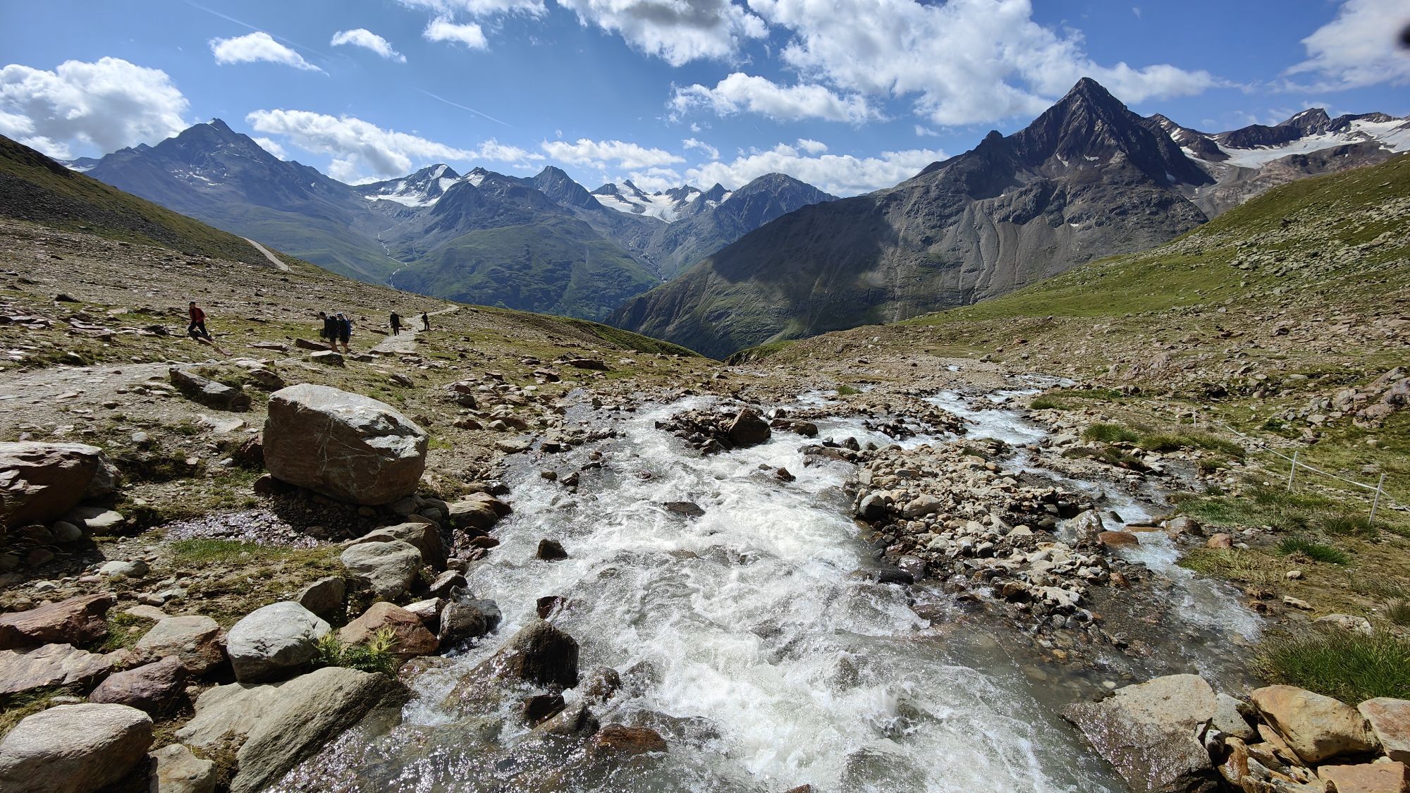

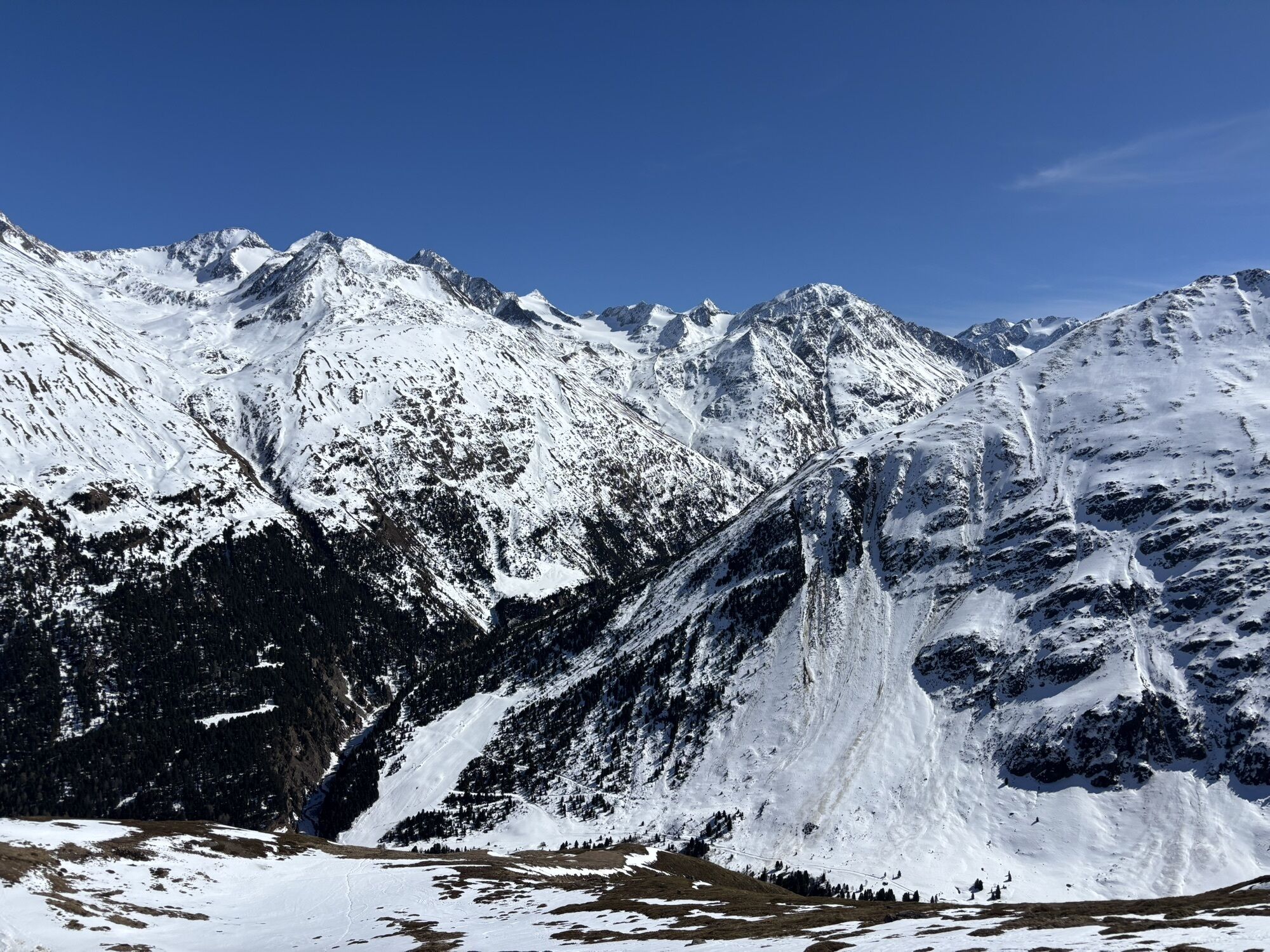


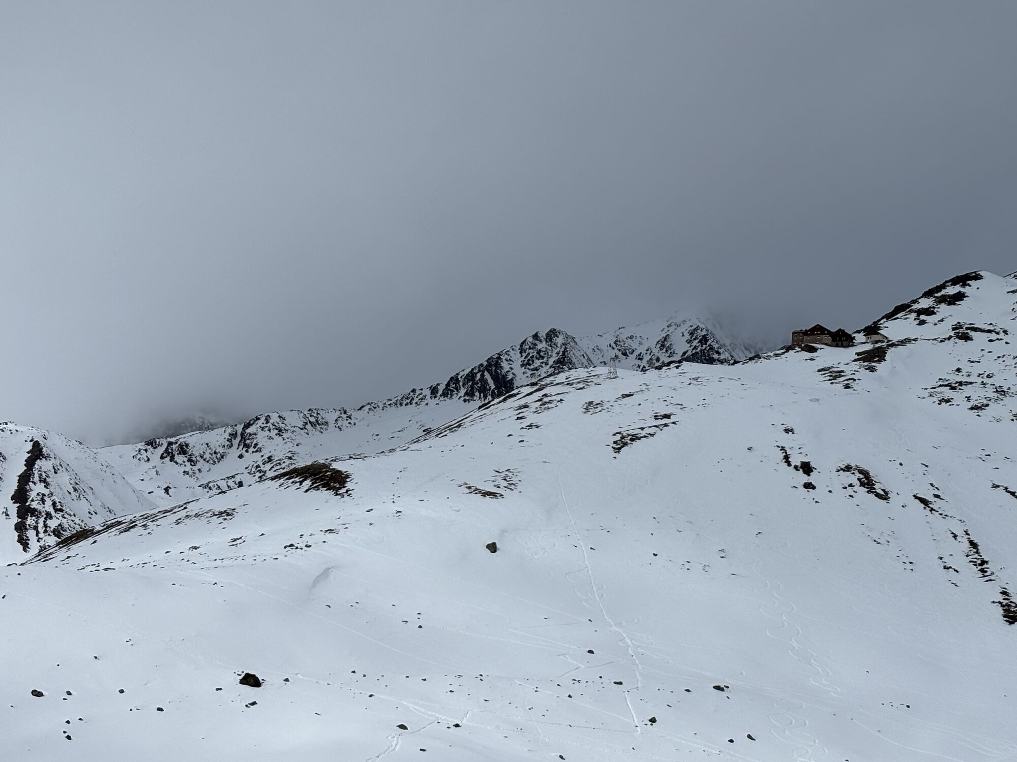
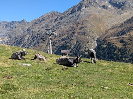
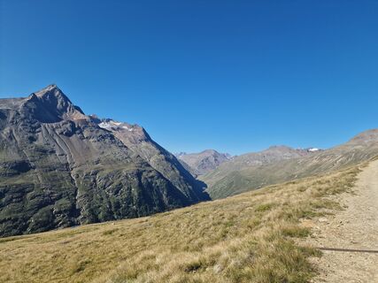
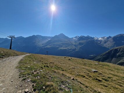
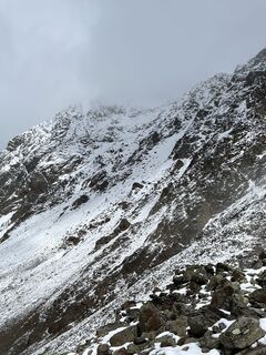
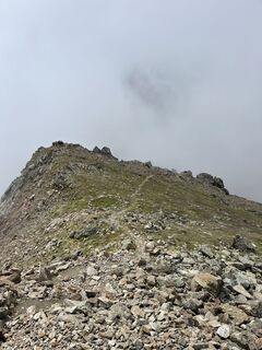
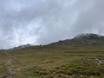
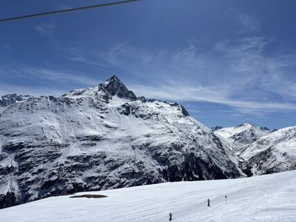
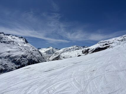
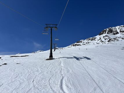
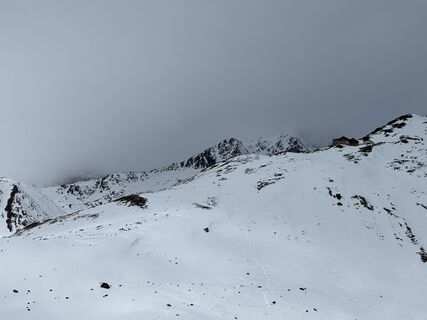
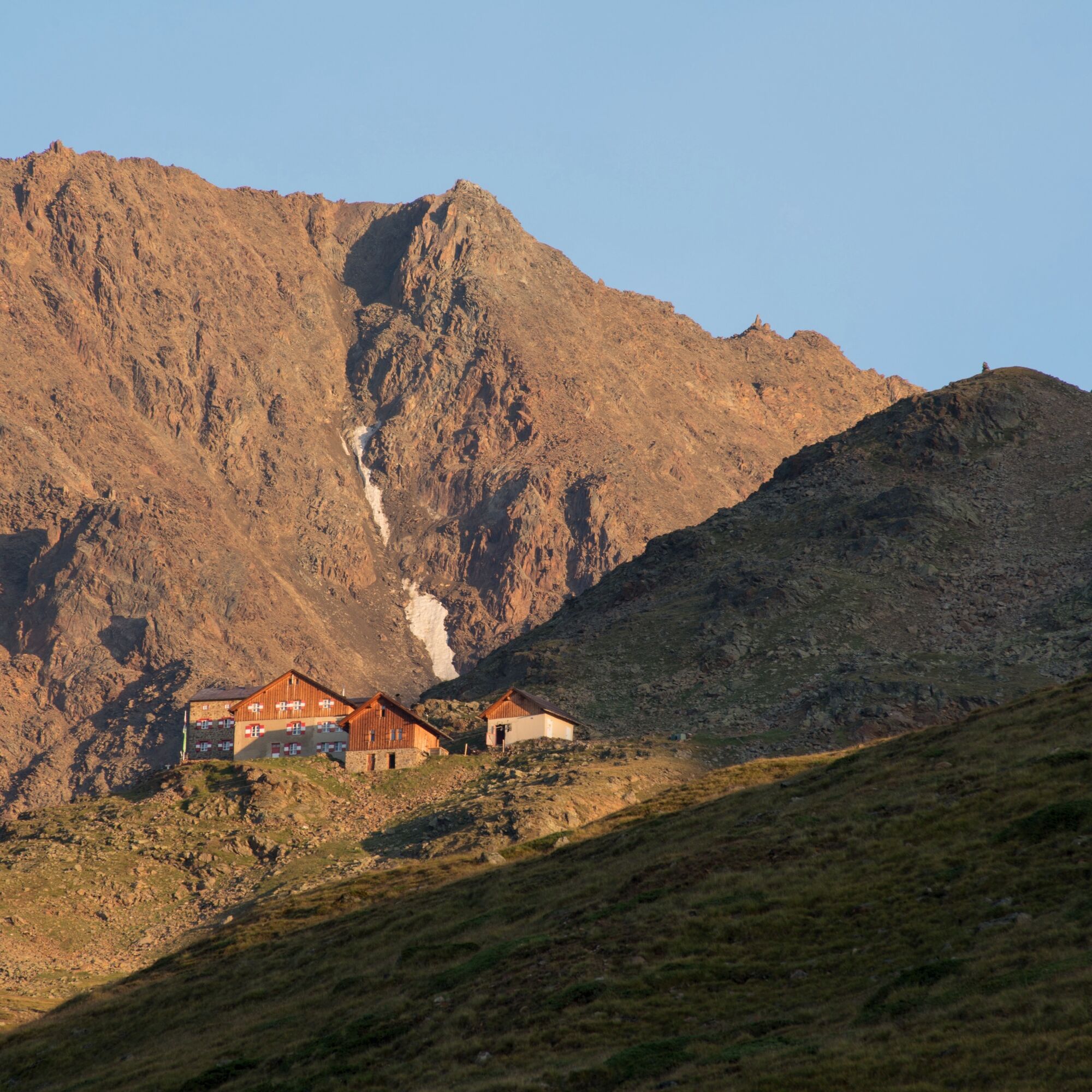
From the Breslauer Hut, follow the ascent to the Wildspitze briefly, but soon leave the path to the right (junction "Urkundkolm/Ötztaler Urkund). Through steep hairpin bends and over small rock steps,...
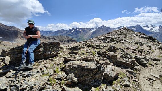
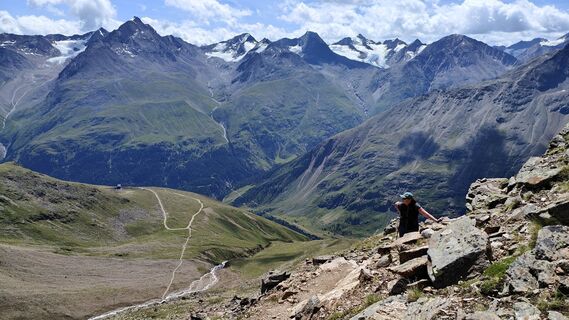
From the Breslauer Hut, follow the ascent to the Wildspitze briefly, but soon leave the path to the right (junction "Urkundkolm/Ötztaler Urkund). Through steep hairpin bends and over small rock steps, it goes up to a saddle, then finally easily through block terrain or on a good path to the unobtrusive summit with a cross. The descent is along the ascent route.


From the Breslauer Hut, follow the ascent to the Wildspitze briefly, but soon leave the path to the right (junction "Urkundkolm/Ötztaler Urkund). Through steep hairpin bends and over small rock steps, it goes up to a saddle, then finally easily through block terrain or on a good path to the unobtrusive summit with a cross. The descent is along the ascent route.
Wearing hiking equipment such as breathable and weather-appropriate outdoor clothing, ankle-high hiking boots, wind, rain, and sun protection, a hat, and possibly gloves is recommended! It is also important to bring sufficient provisions as well as a first aid kit, a mobile phone, and possibly a hiking map.
Moderate mountain trail; suitable for sure-footed and experienced mountain hikers; good physical condition, mountain experience, and mountain equipment (see under equipment) necessary. Please note the current weather report at: www.oetztal.com/de/sommer.html
Driving to ÖTZTAL. Located in Tyrol, the Ötztal branches southwards as the longest side valley of the Eastern Alps. Traveling by car leads visitors through the Inn Valley to the valley entrance and further along the Ötztal. In addition to the toll motorway, country roads can also be used. With the route planner, you can determine your drive quickly and conveniently: To the route planner: https://www.google.at/maps
Travel comfortably and safely by train to the Ötztal station. The final stop or exit point is ÖTZTAL station. Afterwards, travel quickly and conveniently by public transport or local taxi companies through the entire valley to your desired destination! The current bus schedule is available at: http://fahrplan.vvt.at
In the mountaineering village Vent, the following parking options are available.
- In summer in front of the village (parking meter, coins or EC card only) and at the valley station of the chairlift (at the ticket office of the mountain railways)
- In winter only at the valley station of the chairlift.
Cost: € 5.00 per day/car
More information about hiking in the Ötztal: www.oetztal.com/wandern
Reservation of hut sleeping places necessary!
Webové kamery z prohlídky


Oblíbené prohlídky v okolí
-
4.3
Vorderkaser - Eishof / Texelgruppe
světloTuristika 4.83 km -
4.8
Vent - Kreuzspitze
Turistika 20.6 km -
4.4
Hochtour Wildspitze, 3.768m
středníVysokohorská turistika 9.75 km -
3.1
Tiefenbachglacier - Mountaineering Village Vent
středníTuristika 10.8 km -
4.5
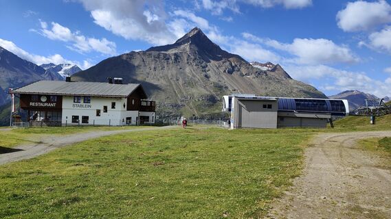
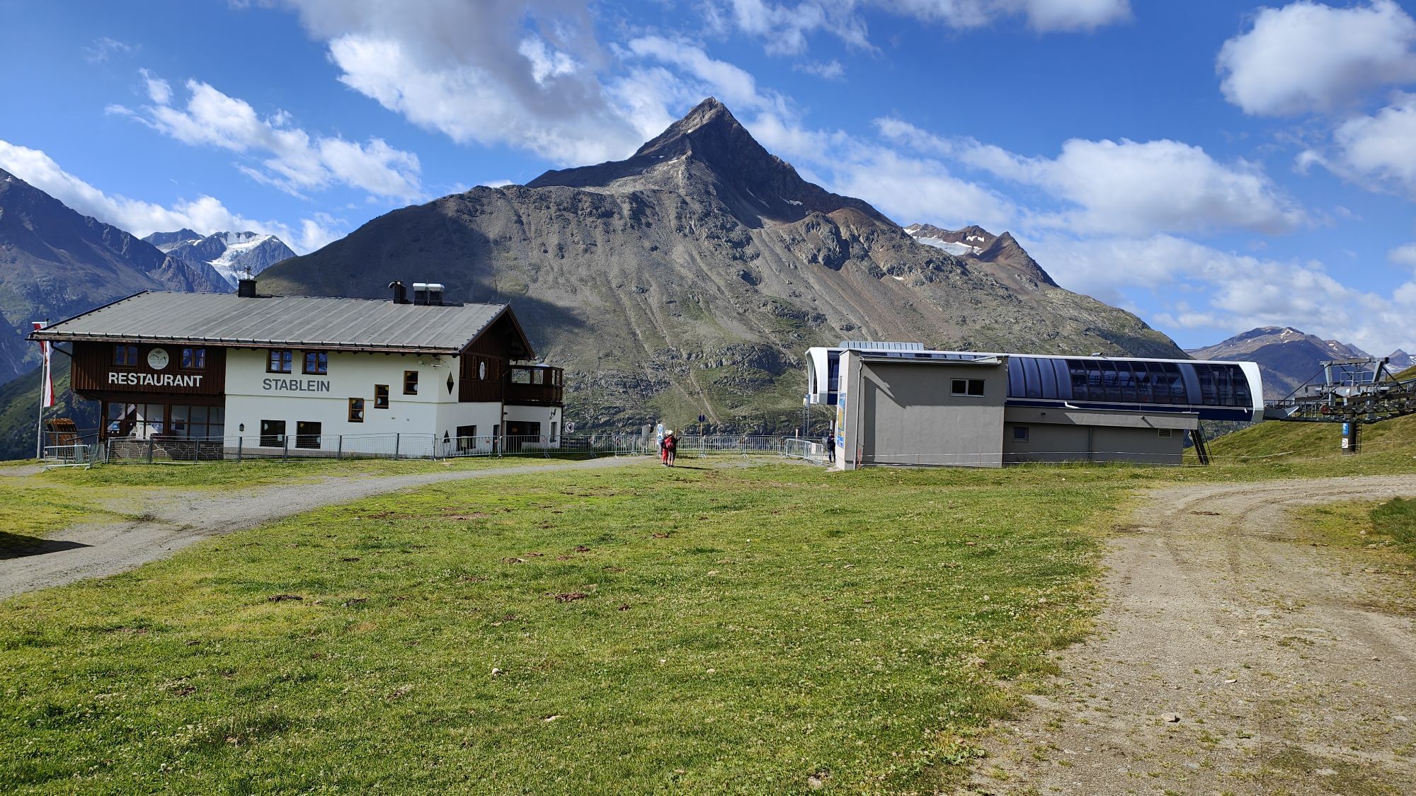
Vent - Wilder Mann - Breslauer Hütte - Stableinalm
středníTuristika 7.25 km -
4.9
Pfossental - vom Vorderkaser auf die Stettinerhütte
středníTuristika 23.7 km -
5.0
Kurzras - Schöne Aussicht - ins hintere Eis
středníTuristika 13.0 km -
4.1
Hohe Geige über Gawinden und den Westgrat
heavyTuristika 14.3 km -
5.0
Obergurgl - Ramolhaus
Turistika 7 km -
5.0
From Vent to the Similaun at 3,606 m
heavyVysokohorská turistika 29.2 km

Pěší turistika a stopování


Nenechte si ujít nabídky a inspiraci pro vaši příští dovolenou
Vaše e-mailová adresa byl přidán do poštovního seznamu.