







Rundweg Hörnle - Niedertal
Úroveň obtížnosti: T3
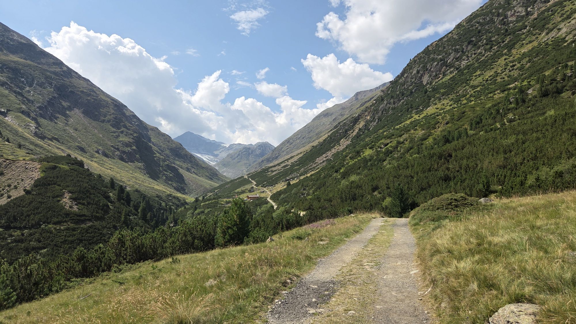

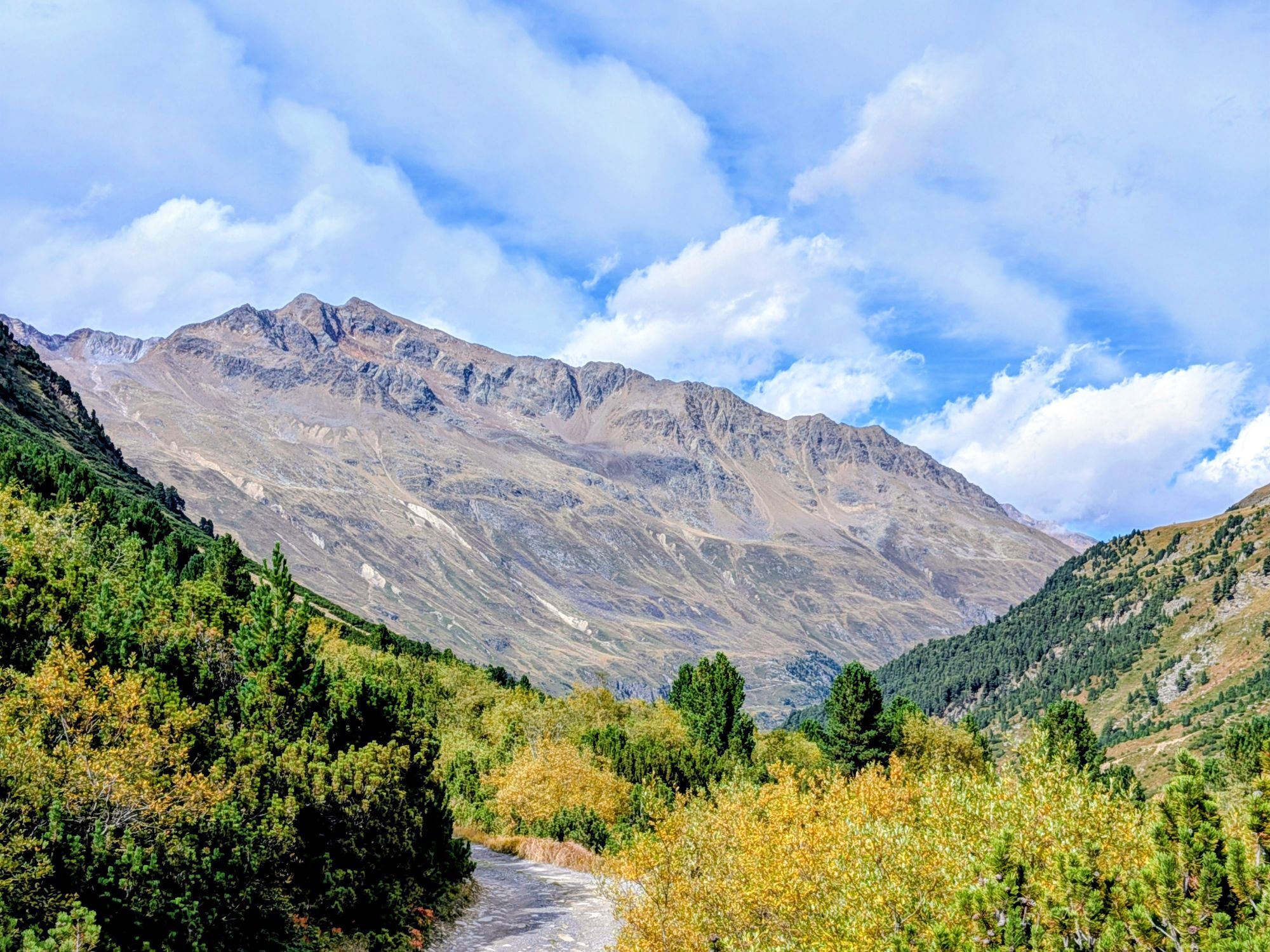
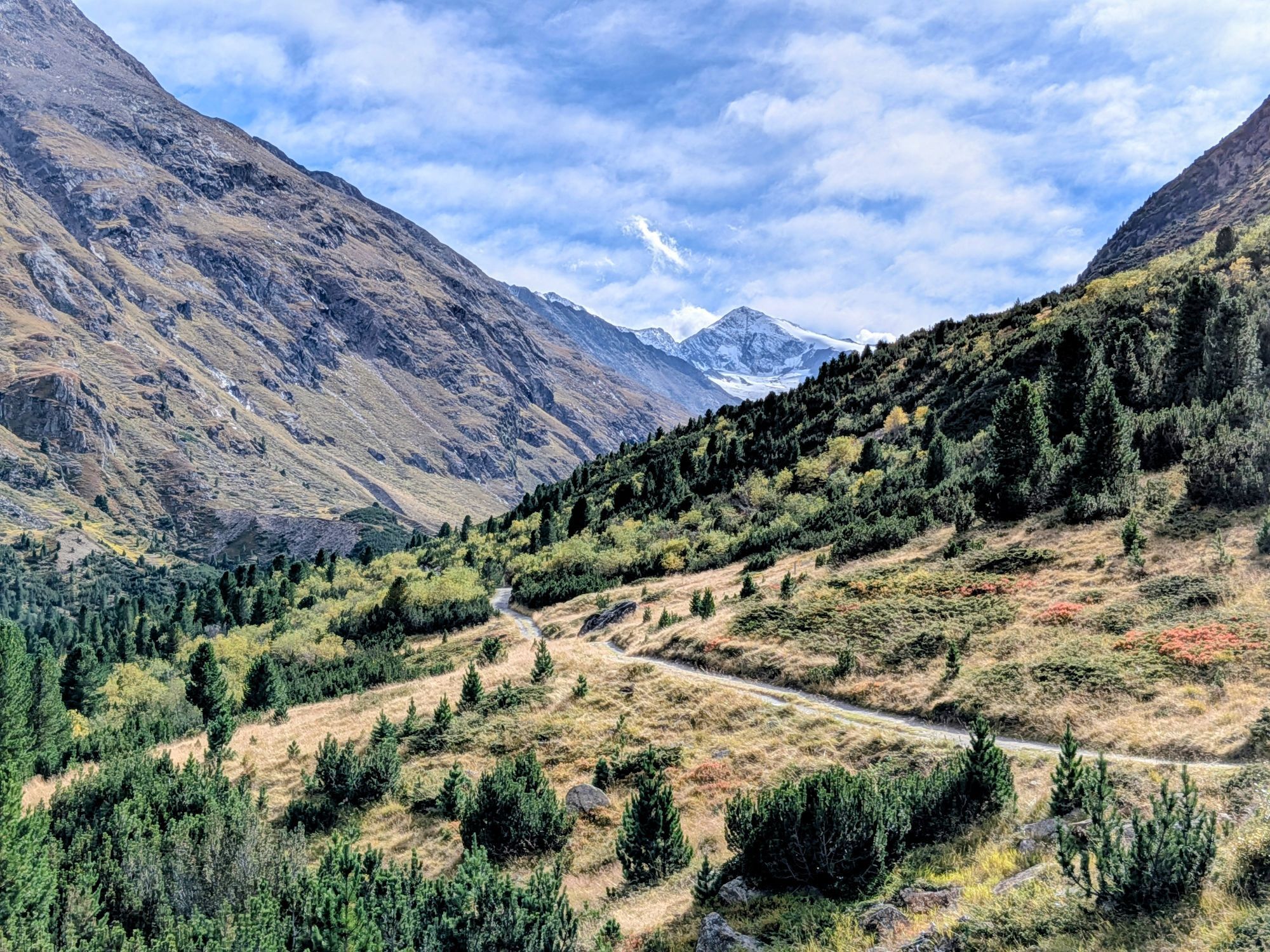
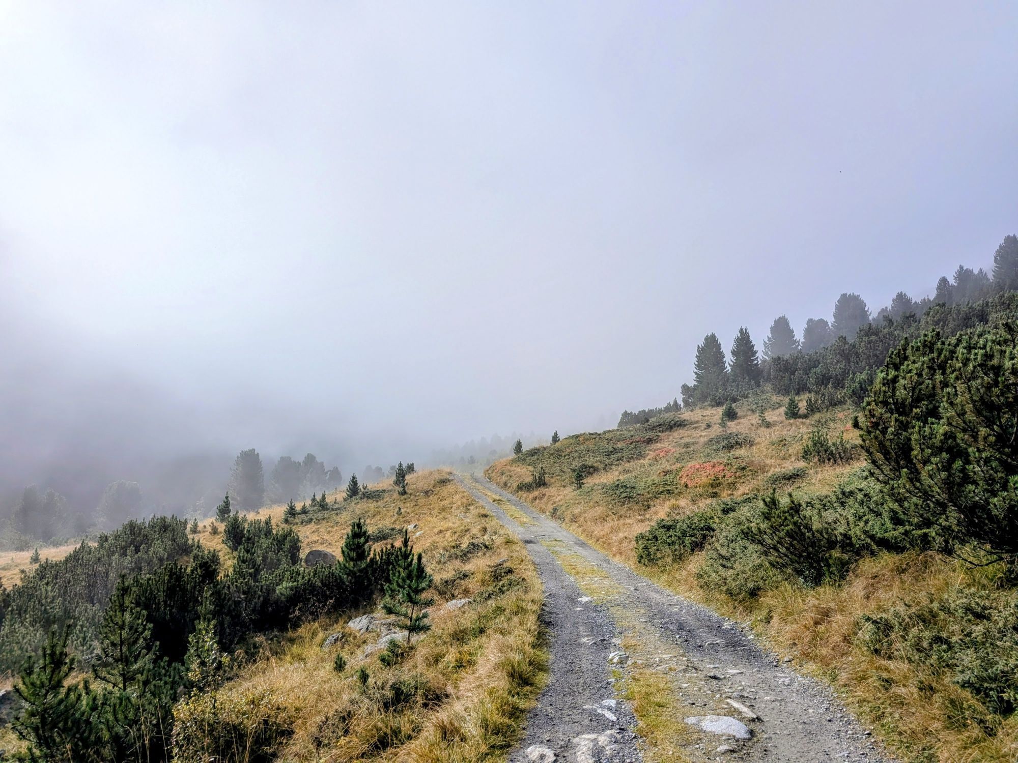
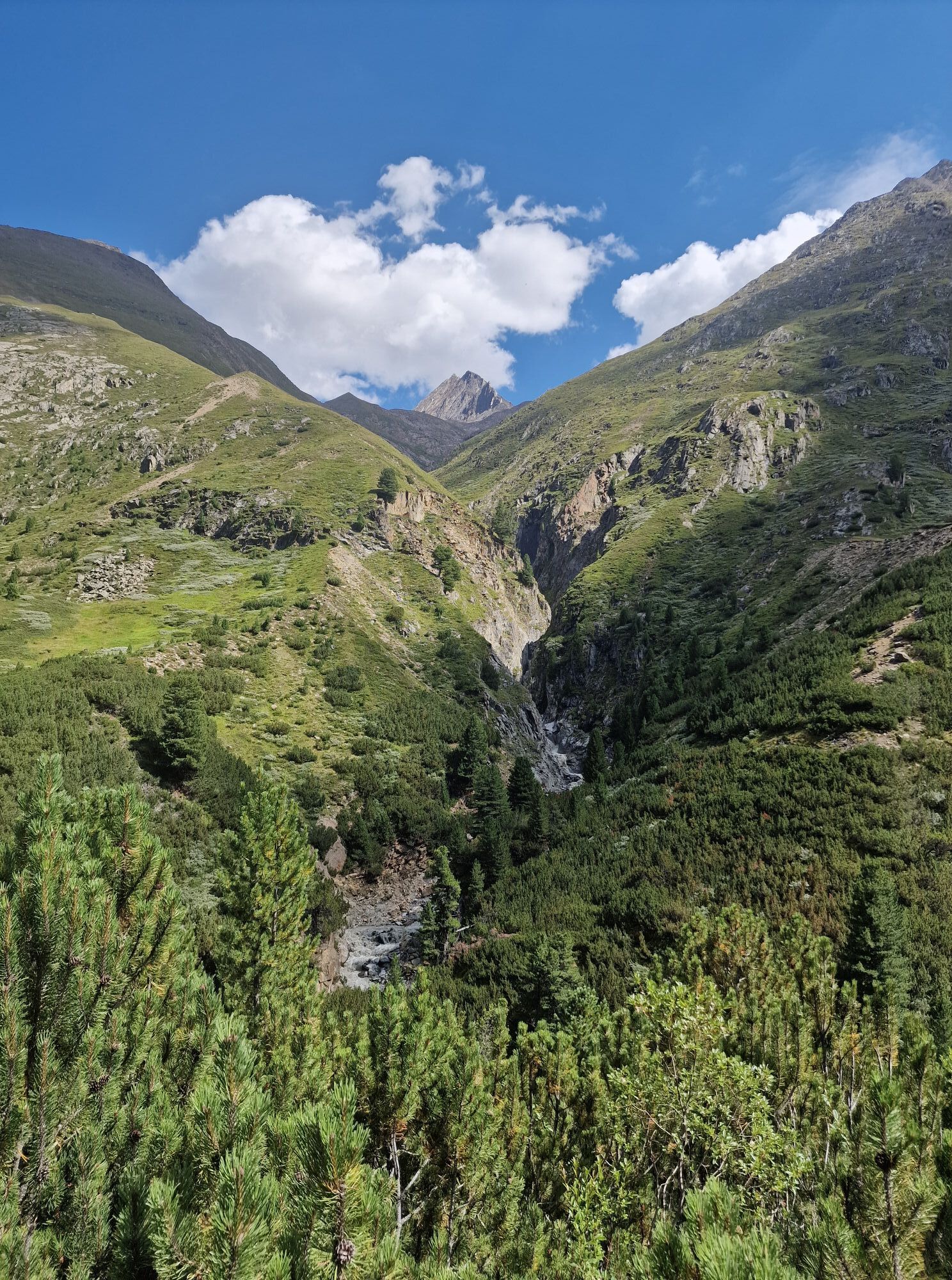
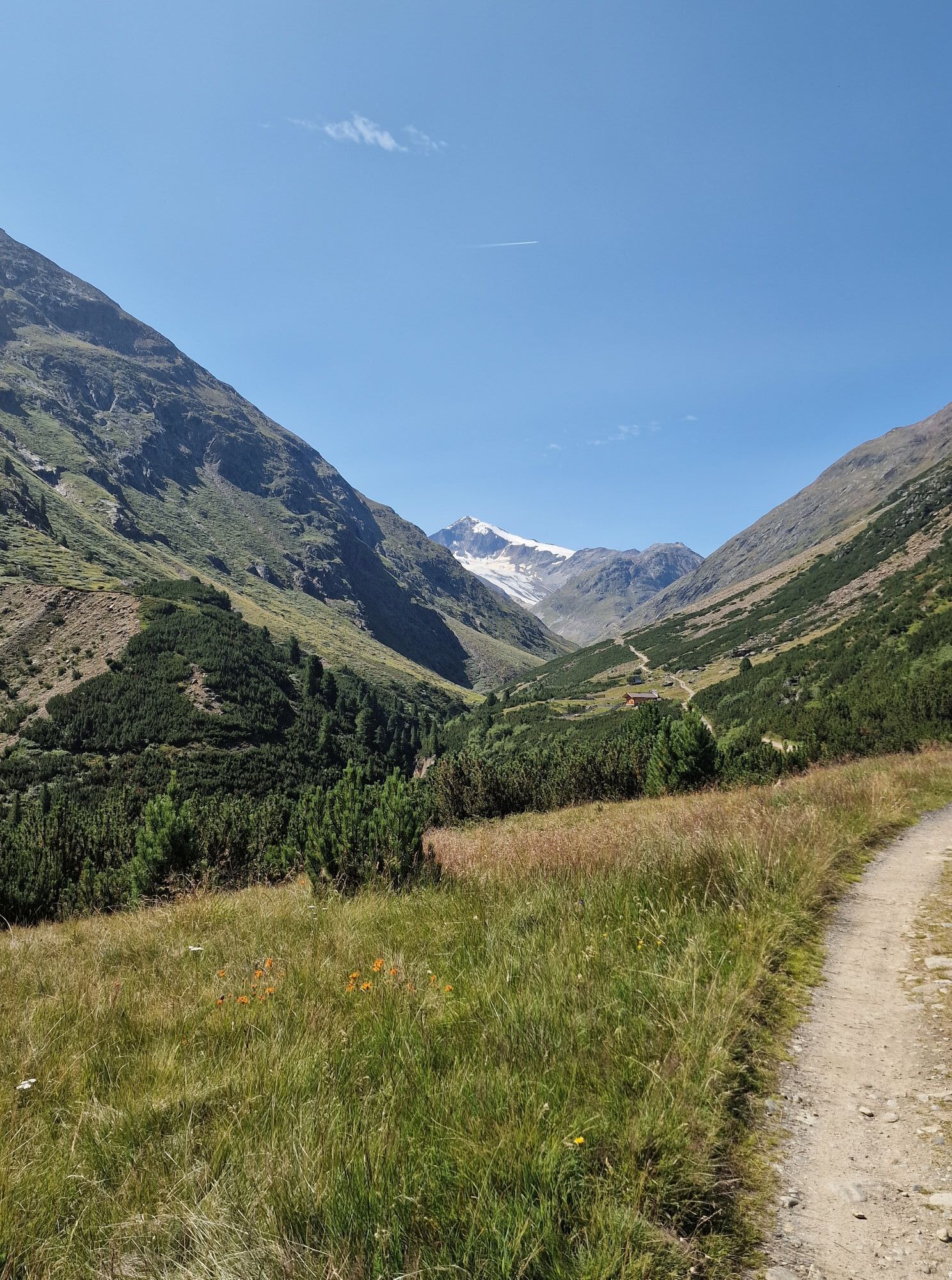
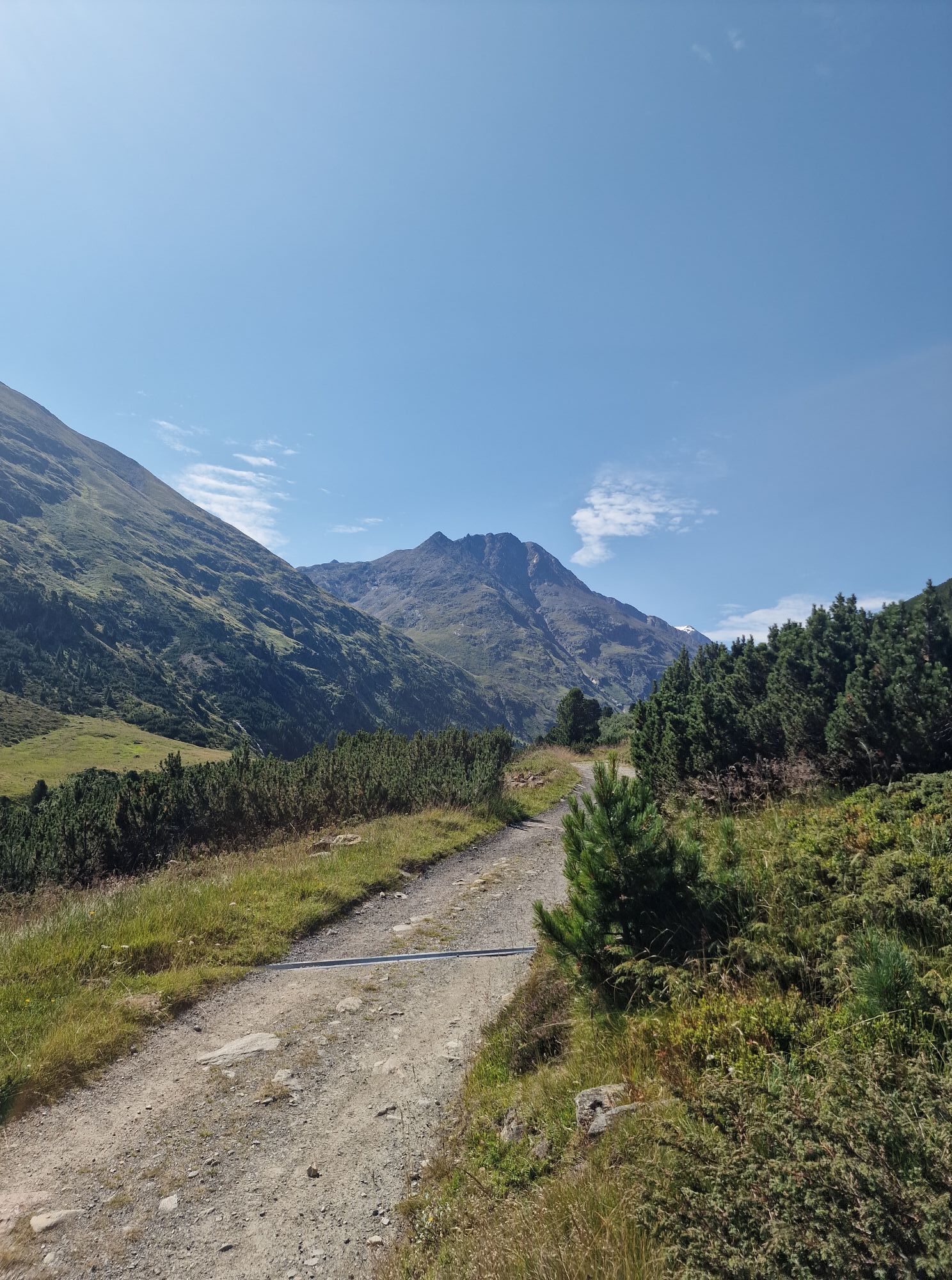
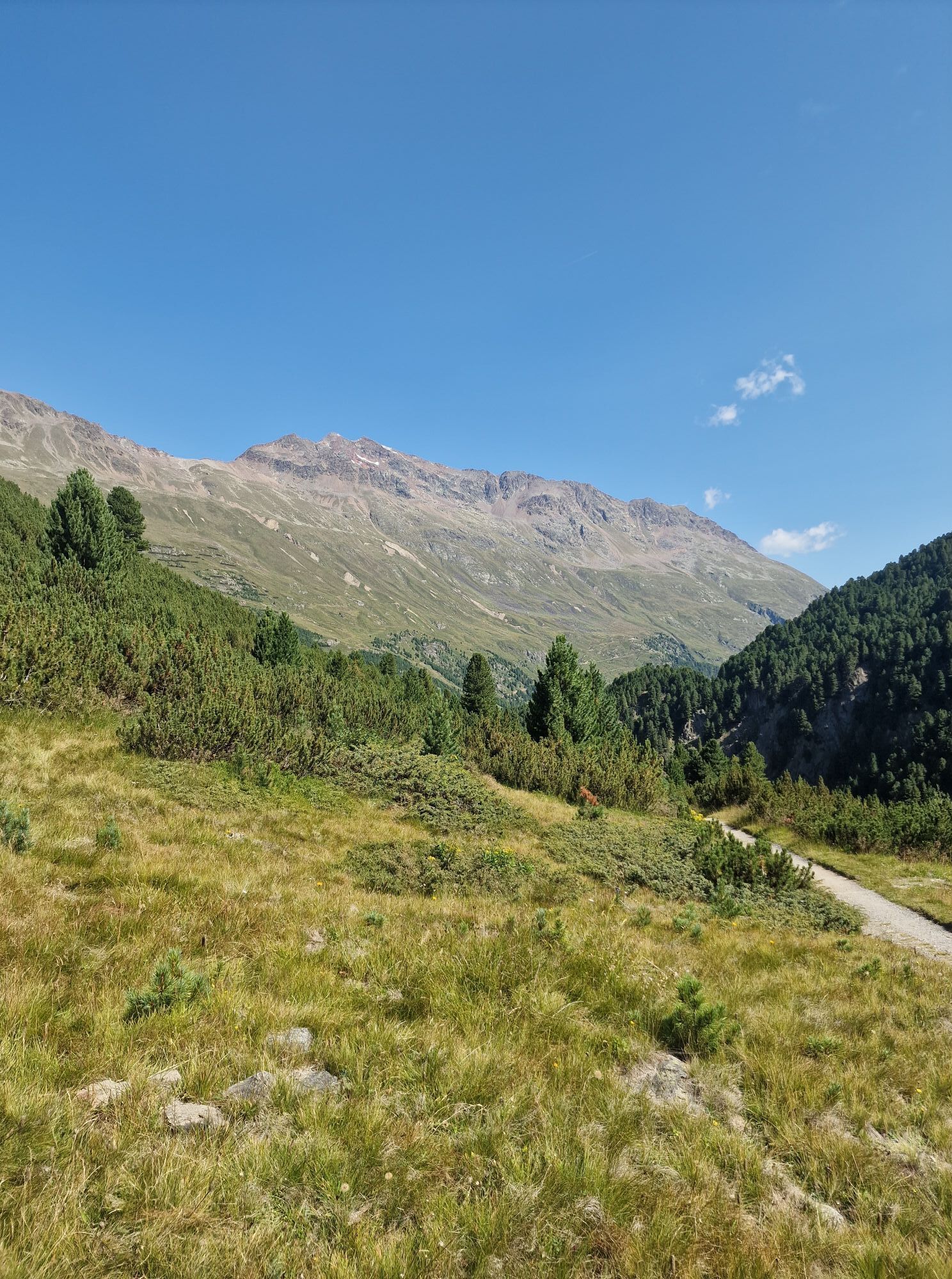
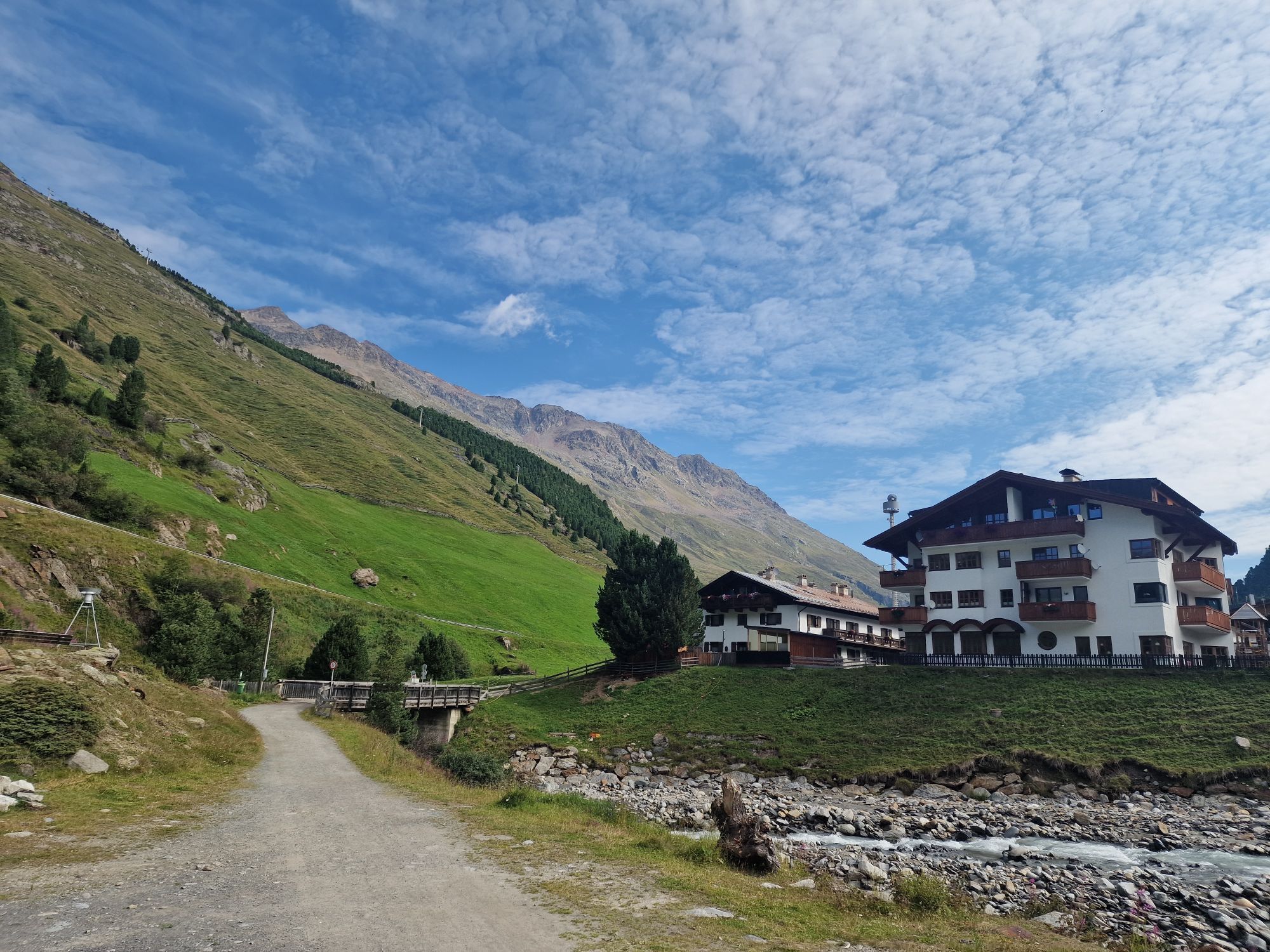
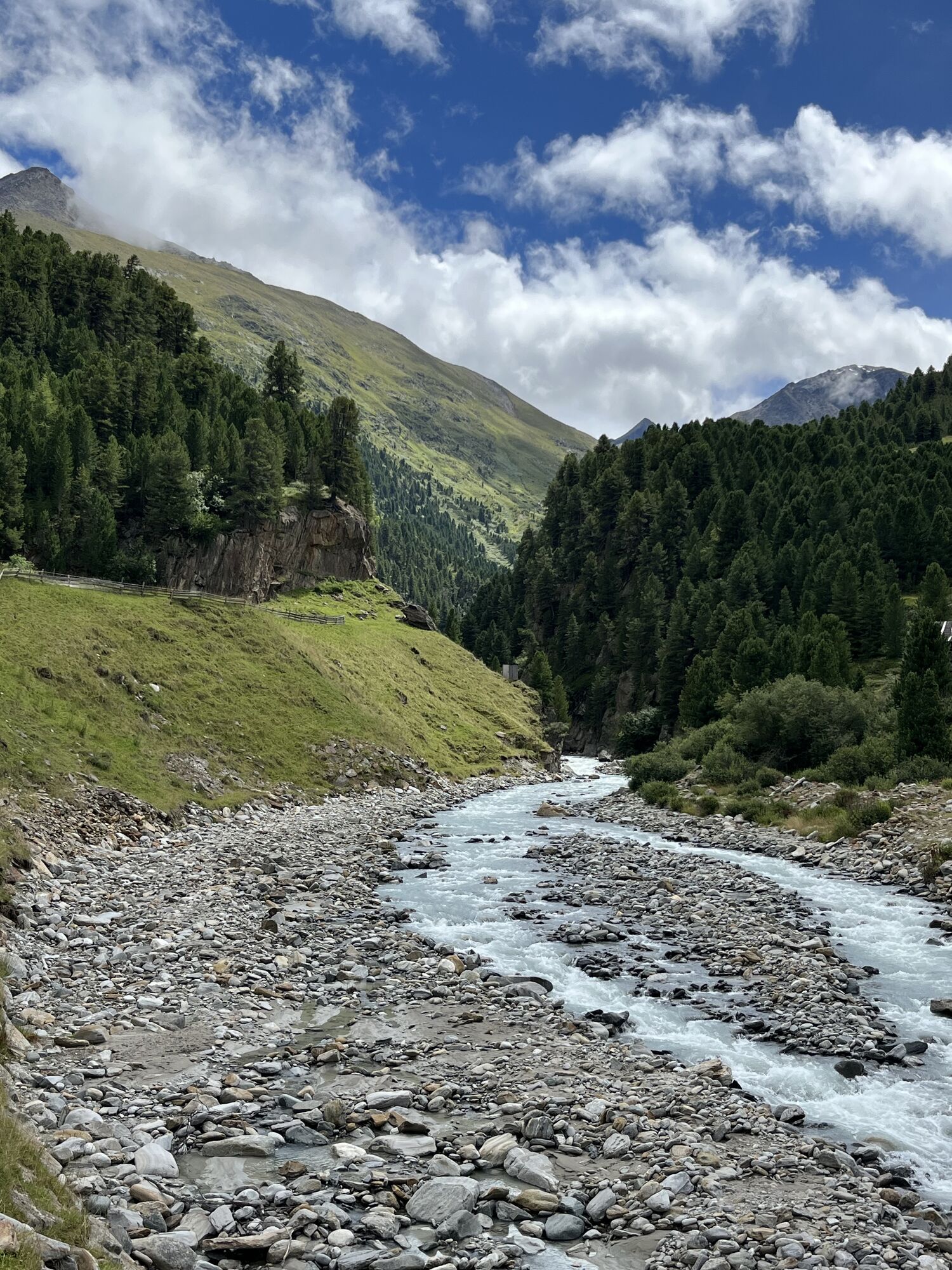
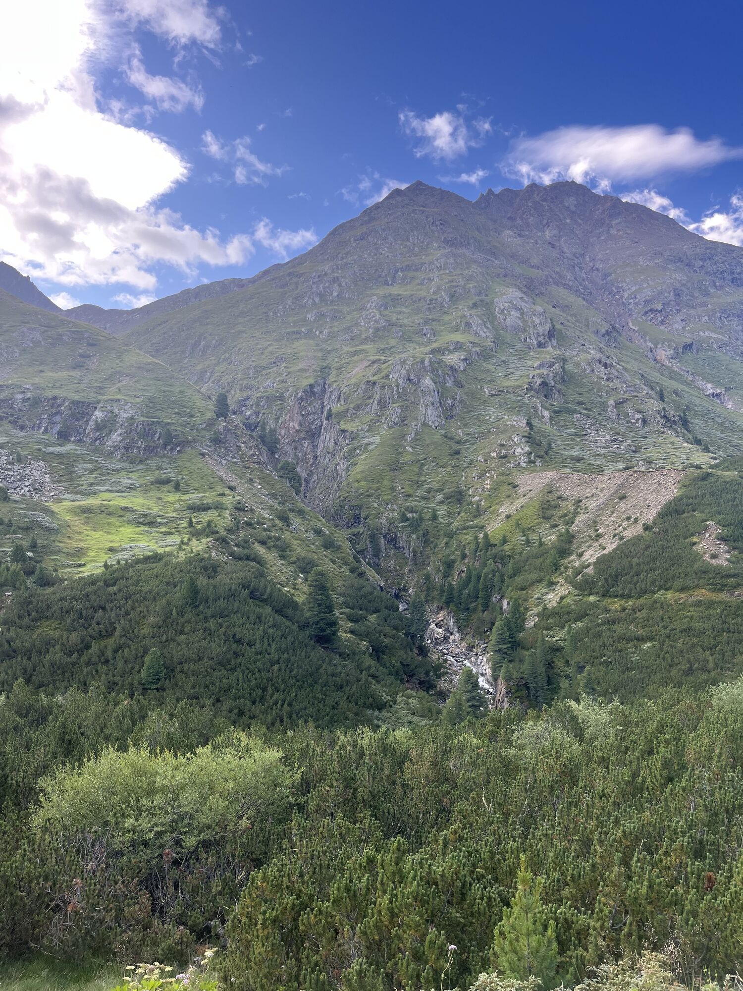
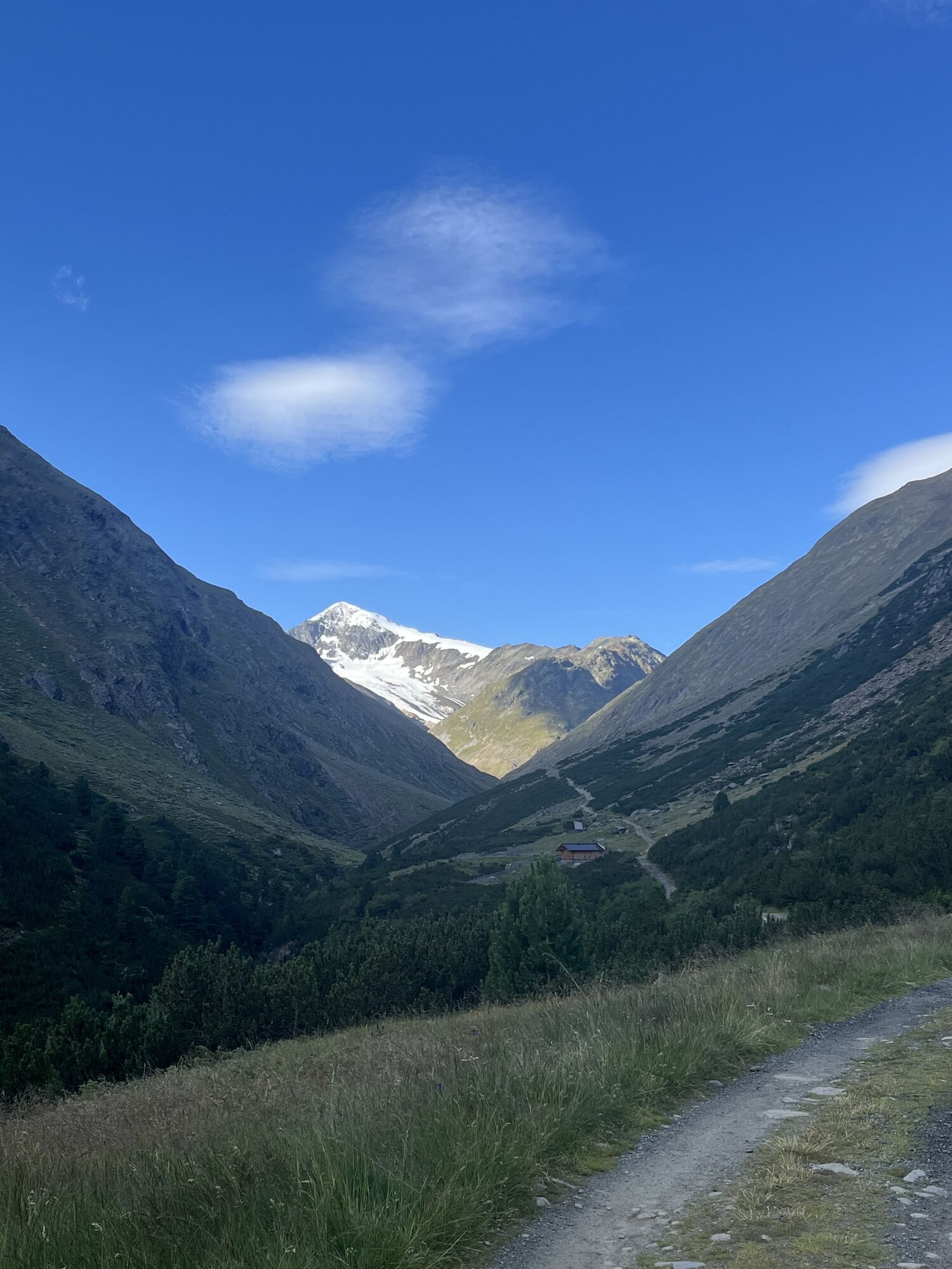
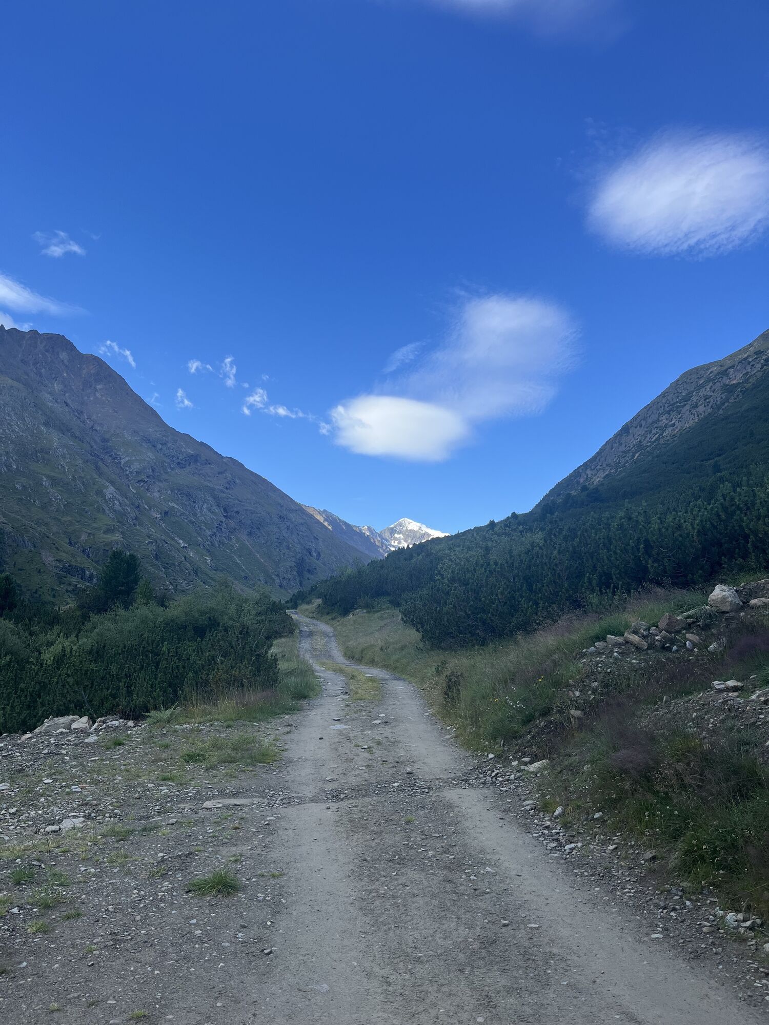
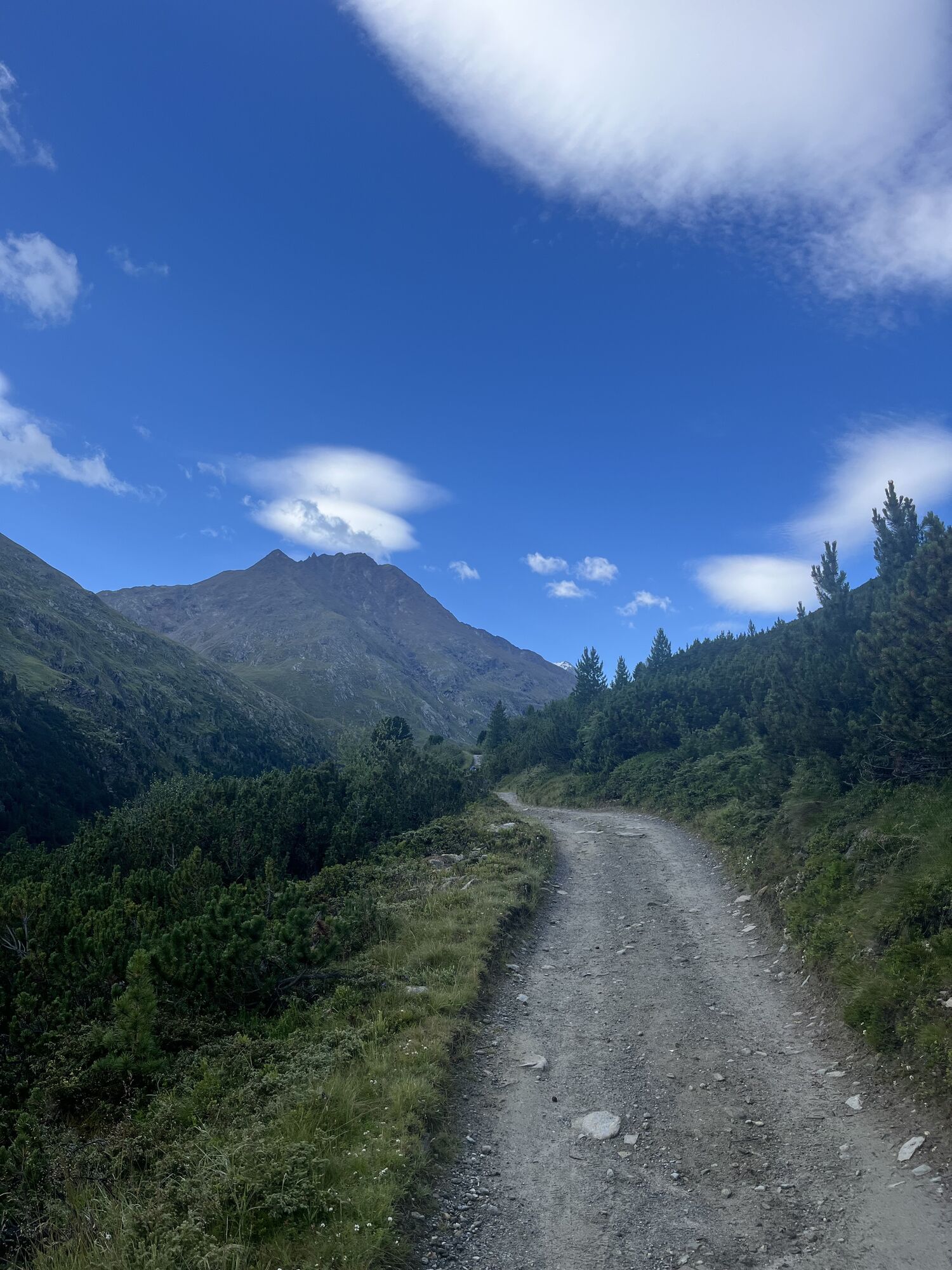
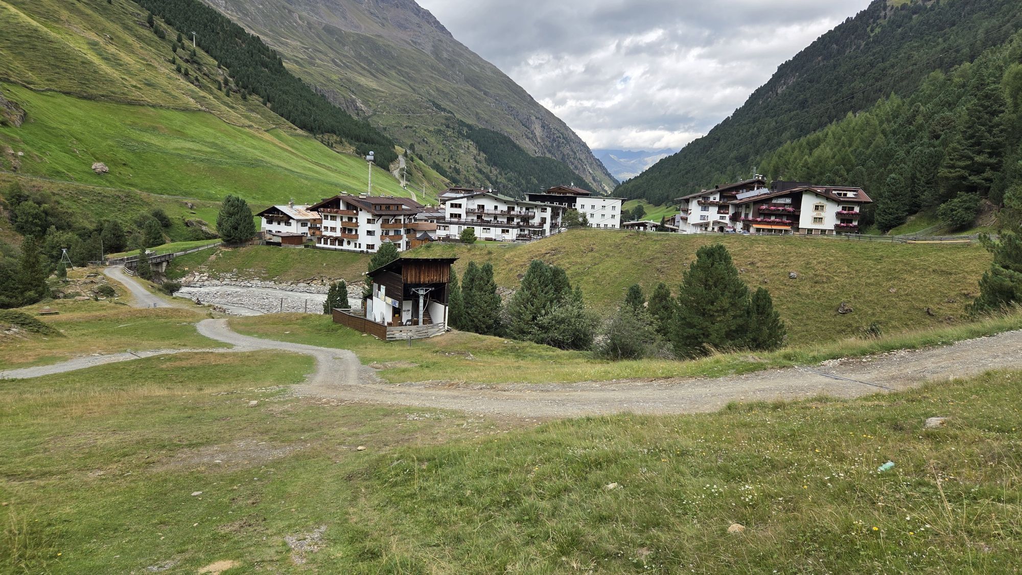
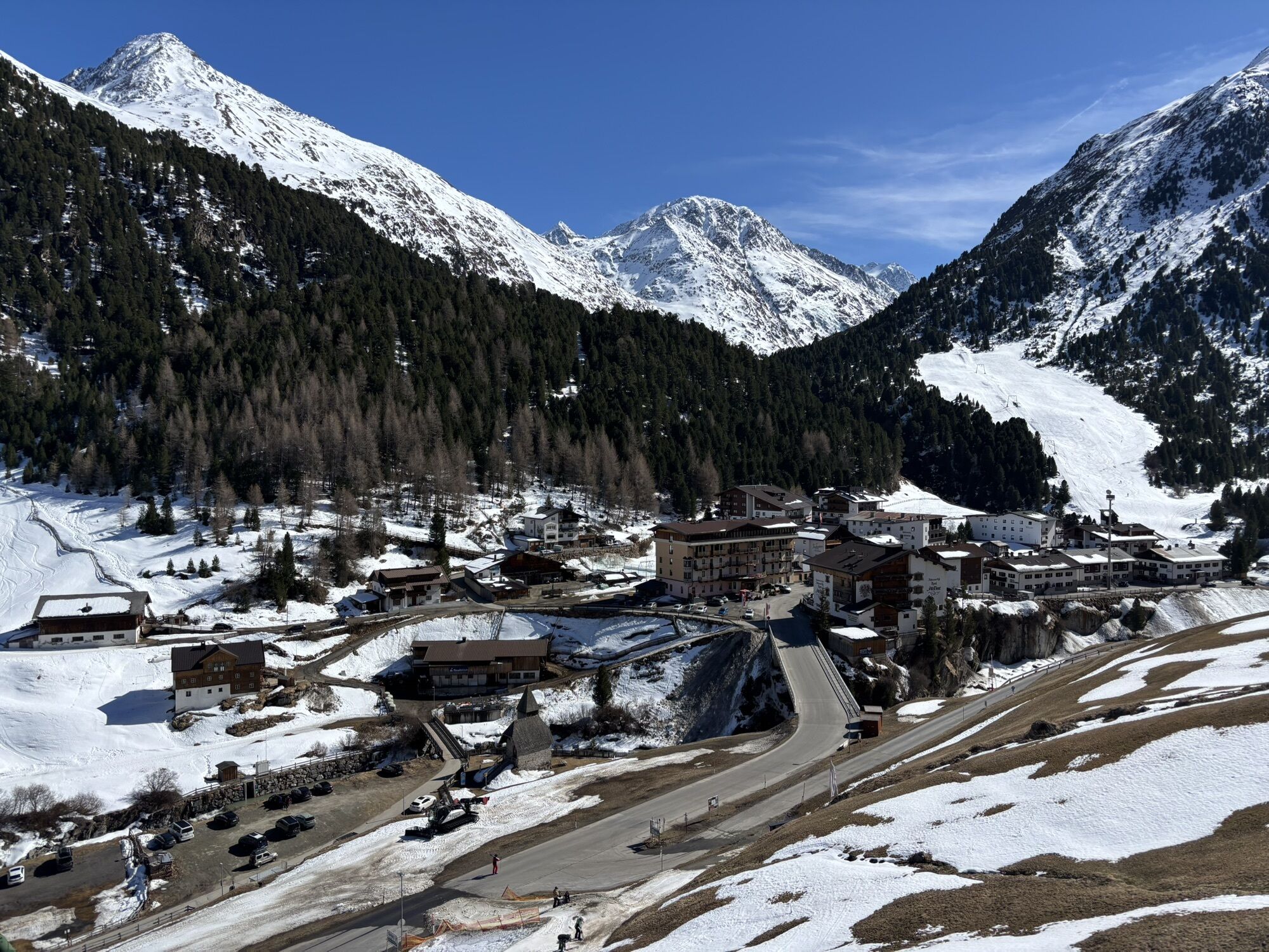
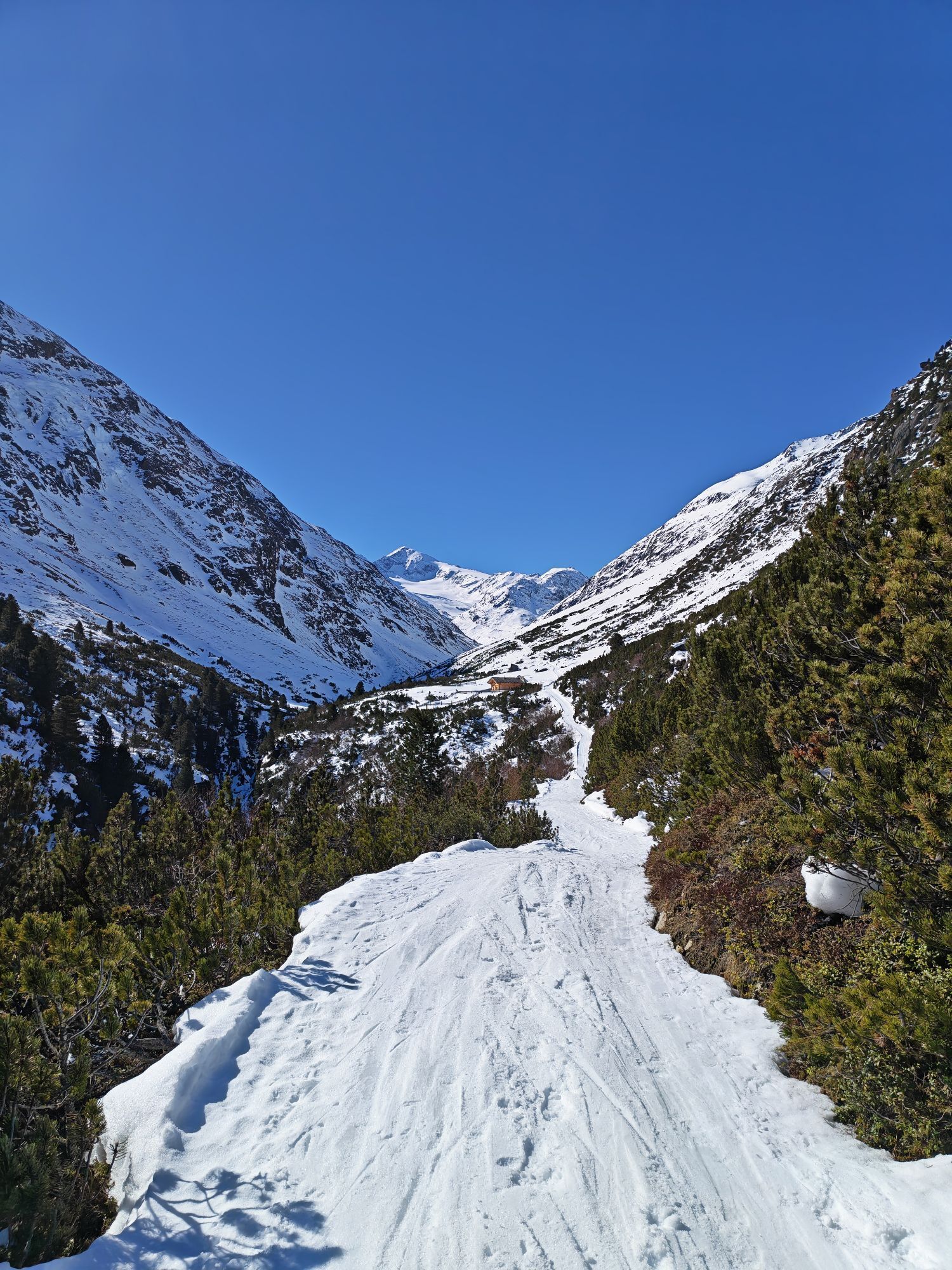
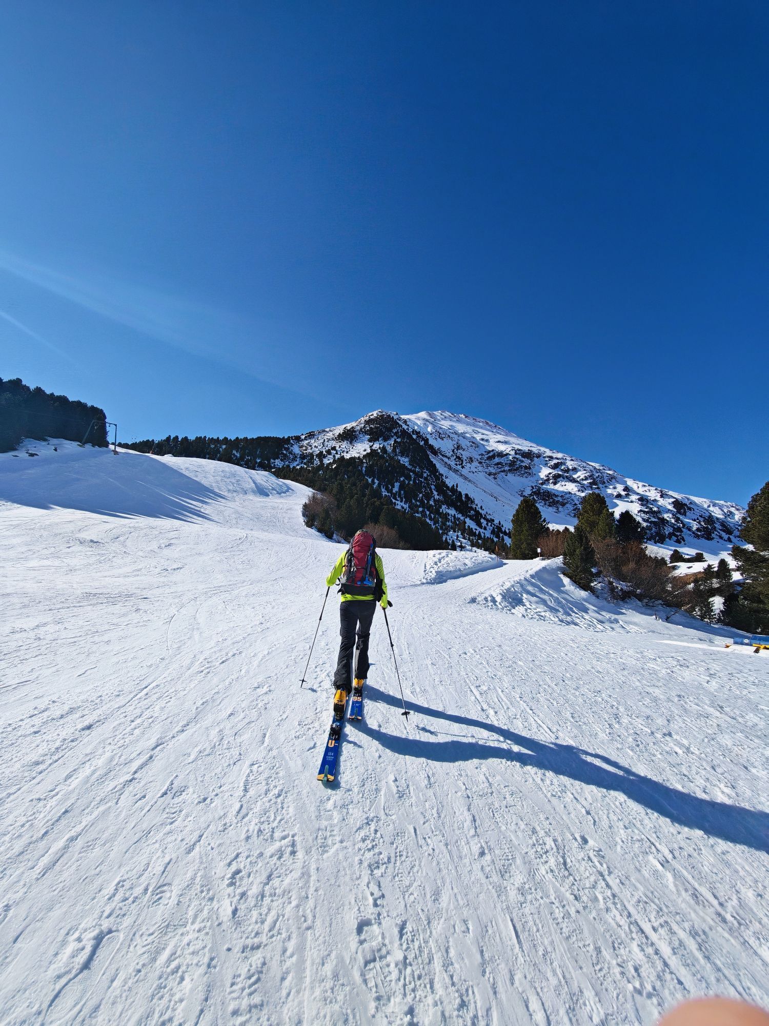
Heading towards the Martin Busch Hütte, the trail branches off to the right at the first rise. It leads through mountain pine forests to the Ochsenkopf and from there continues in switchbacks up to the...
Above the tree line, follow the trail markers from the Hörnle. The gently descending path leads further into the valley, later passing through a steep gully (a narrow trail where sure-footedness and a head for heights are essential) and several smaller gullies. The route then continues through mountain pine forests to the Niedertalalm.
For the return journey, follow the wide trail back to Vent.

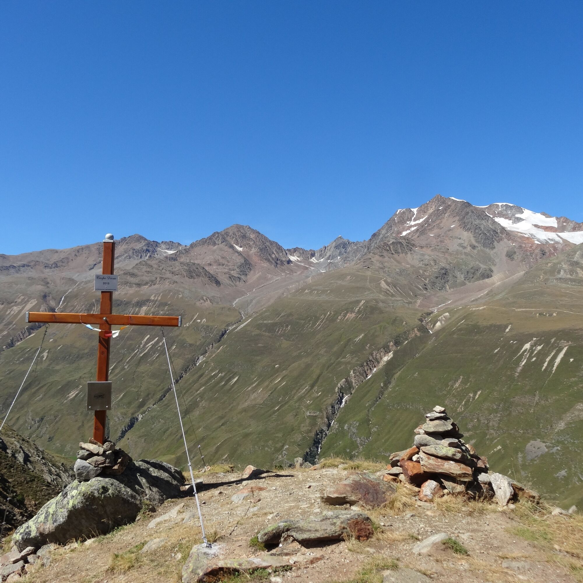
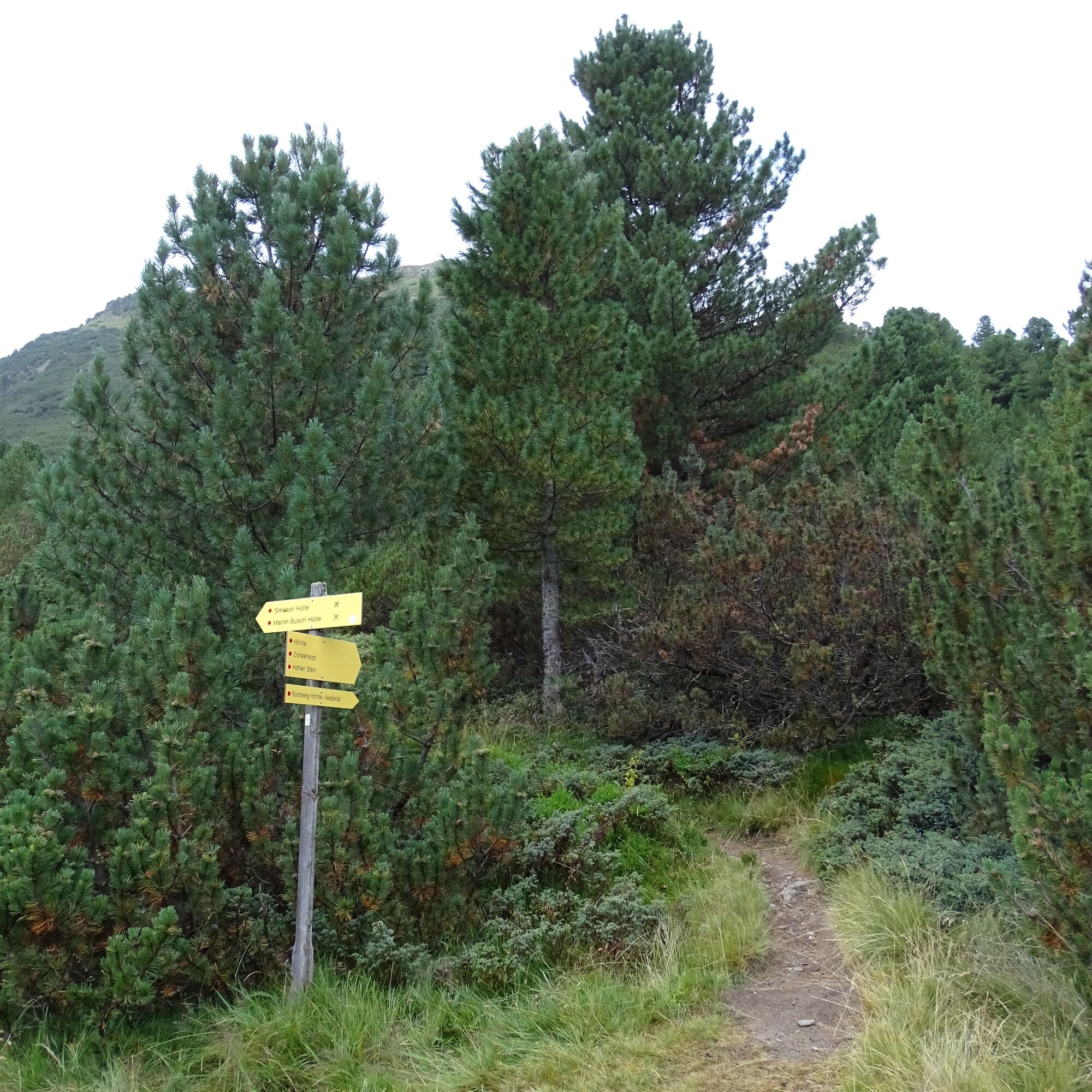
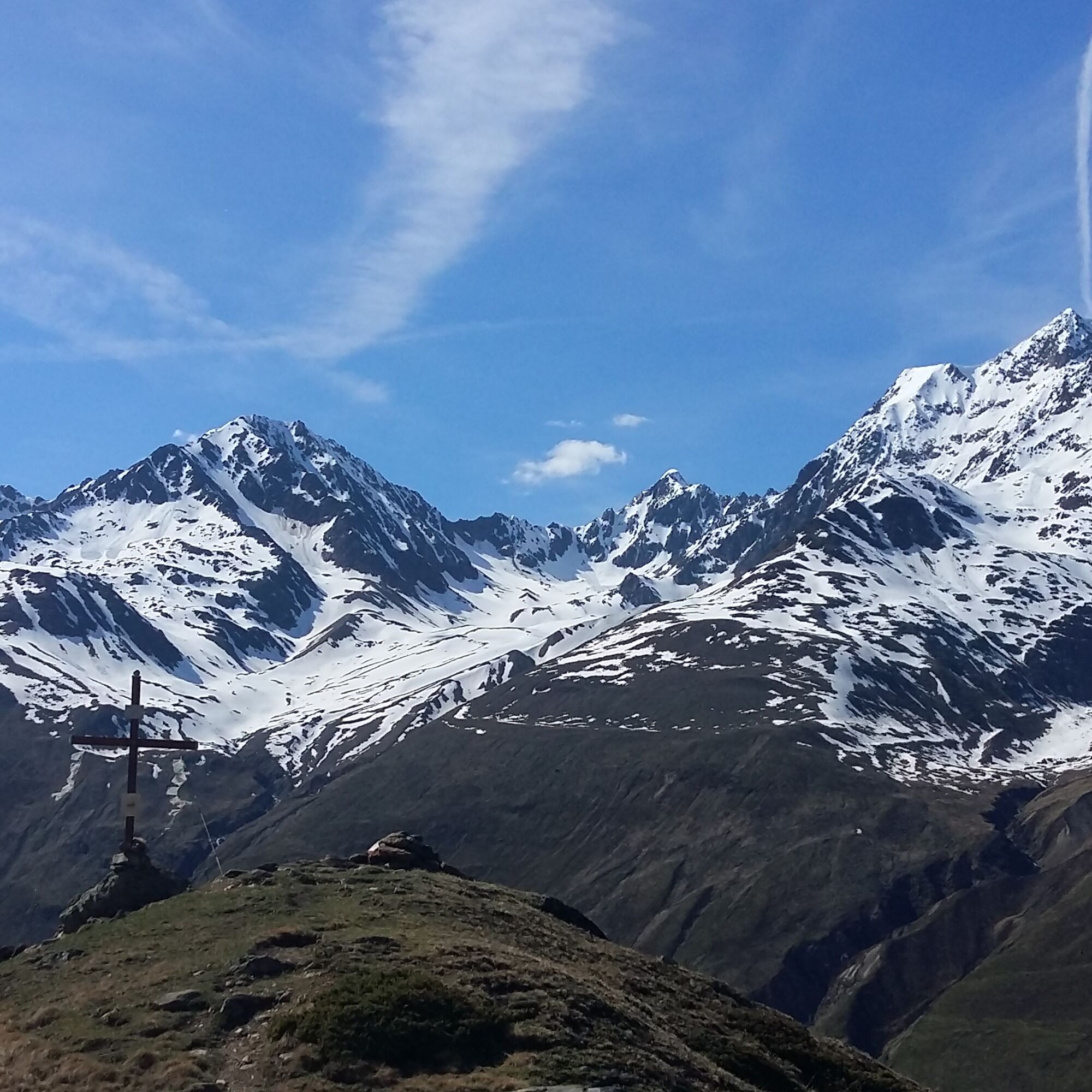
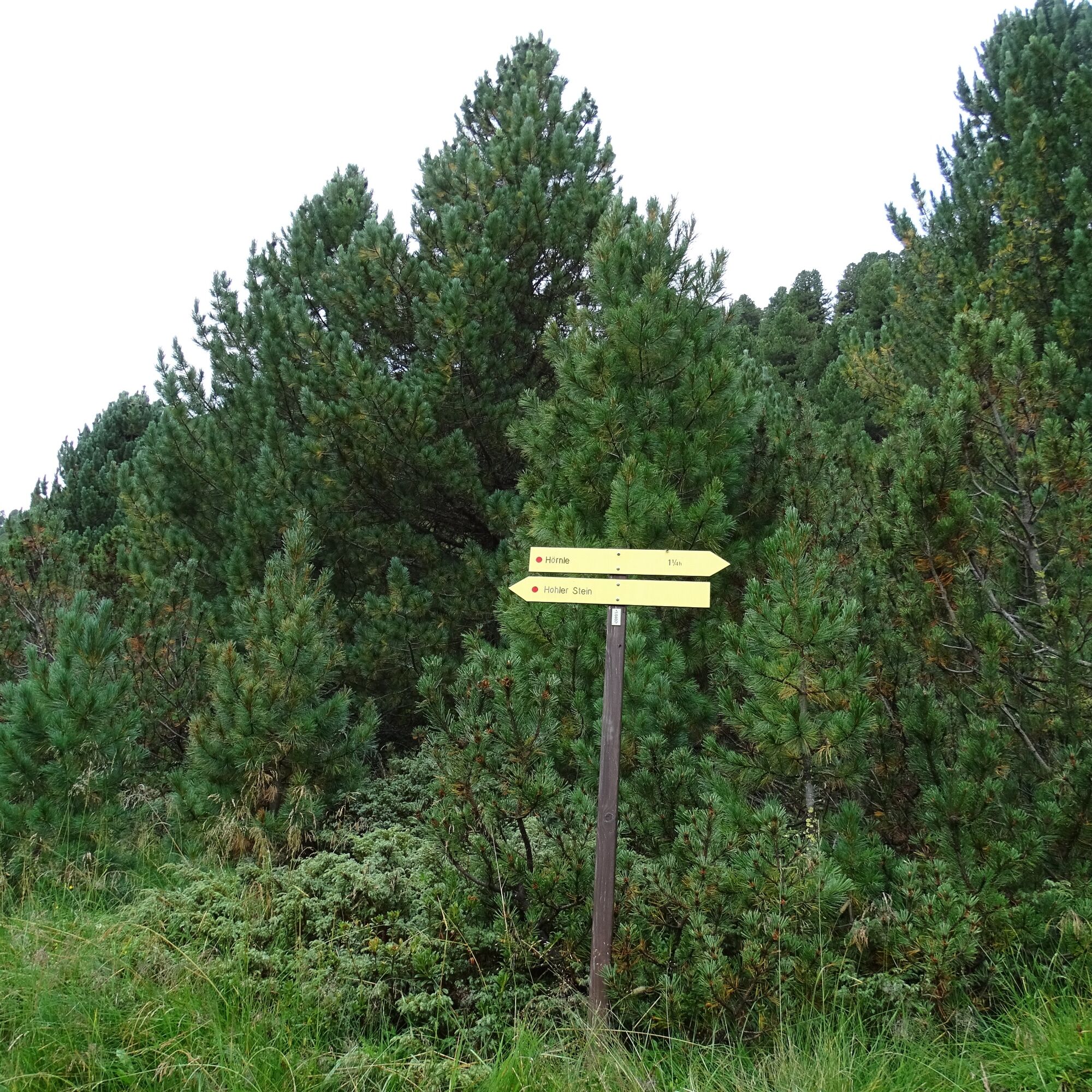
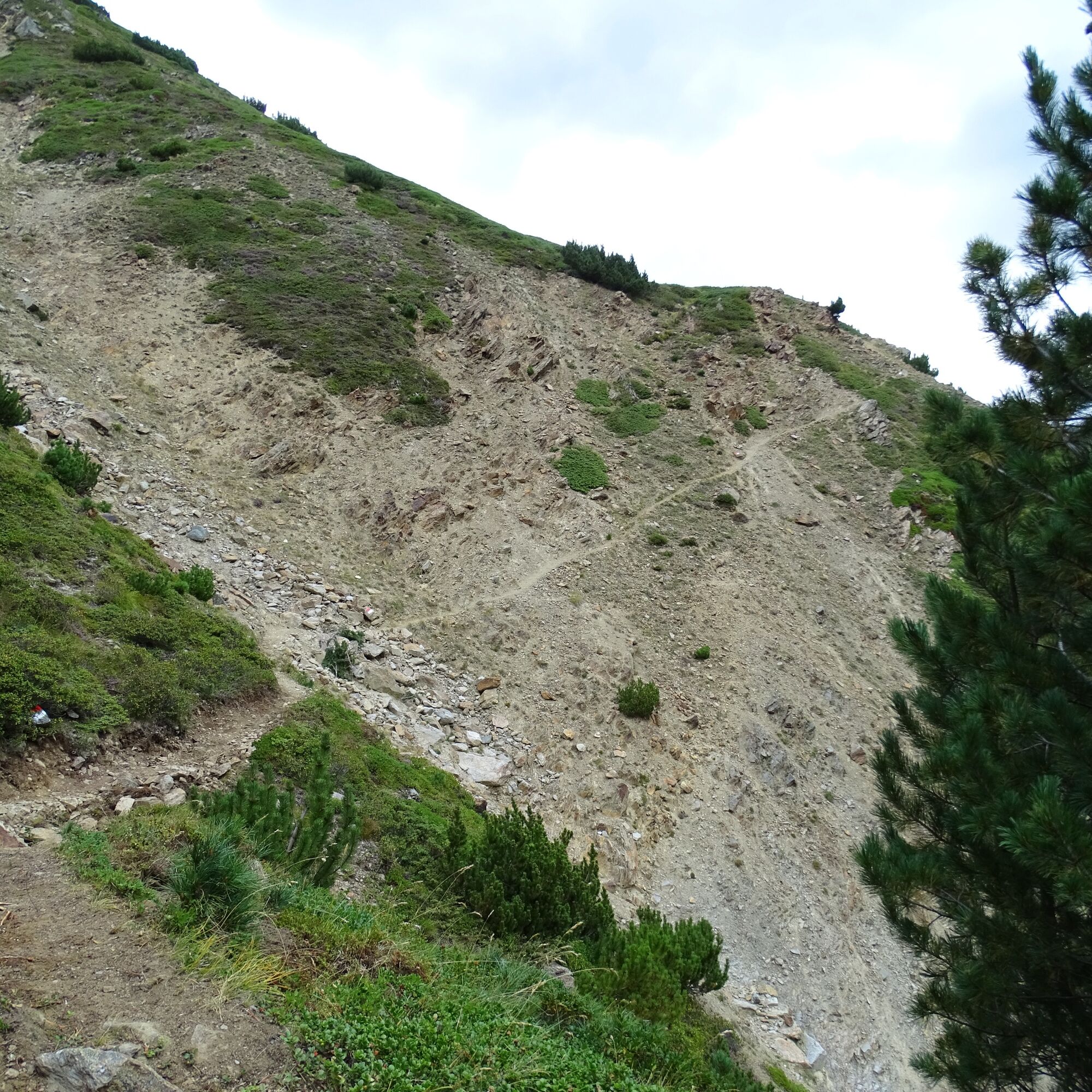
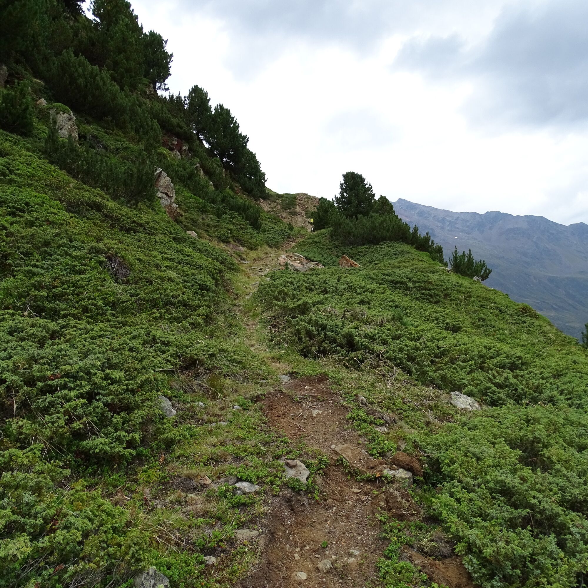
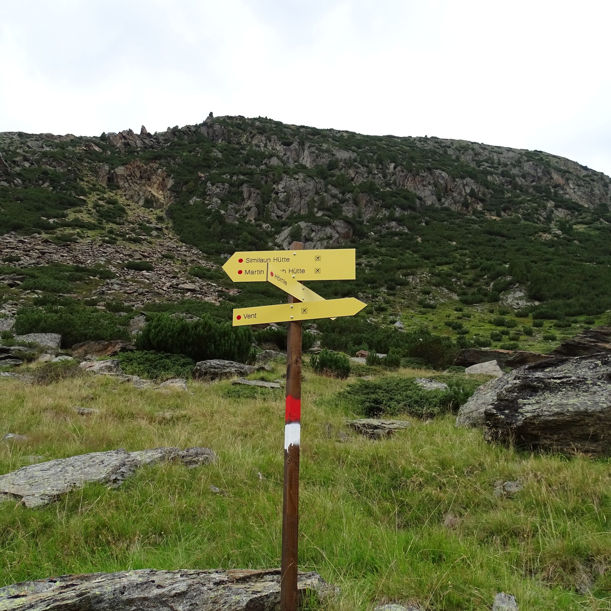
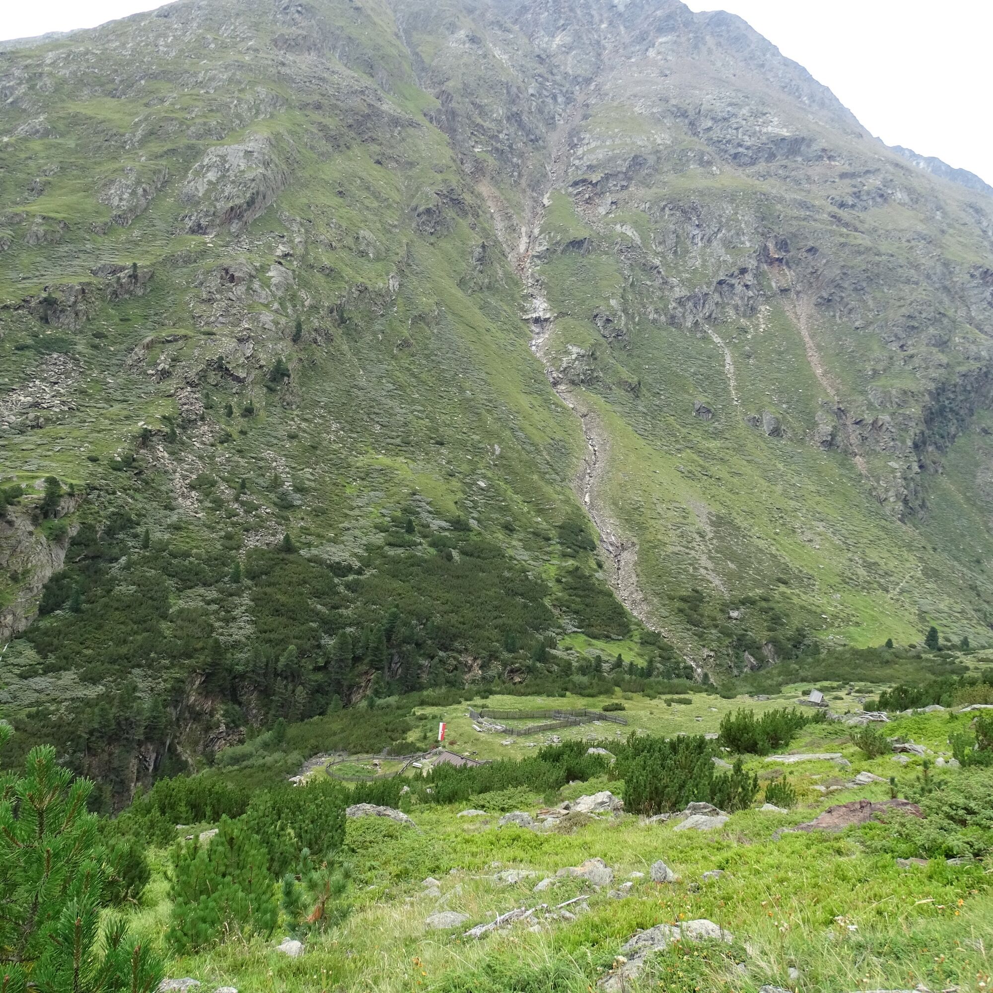
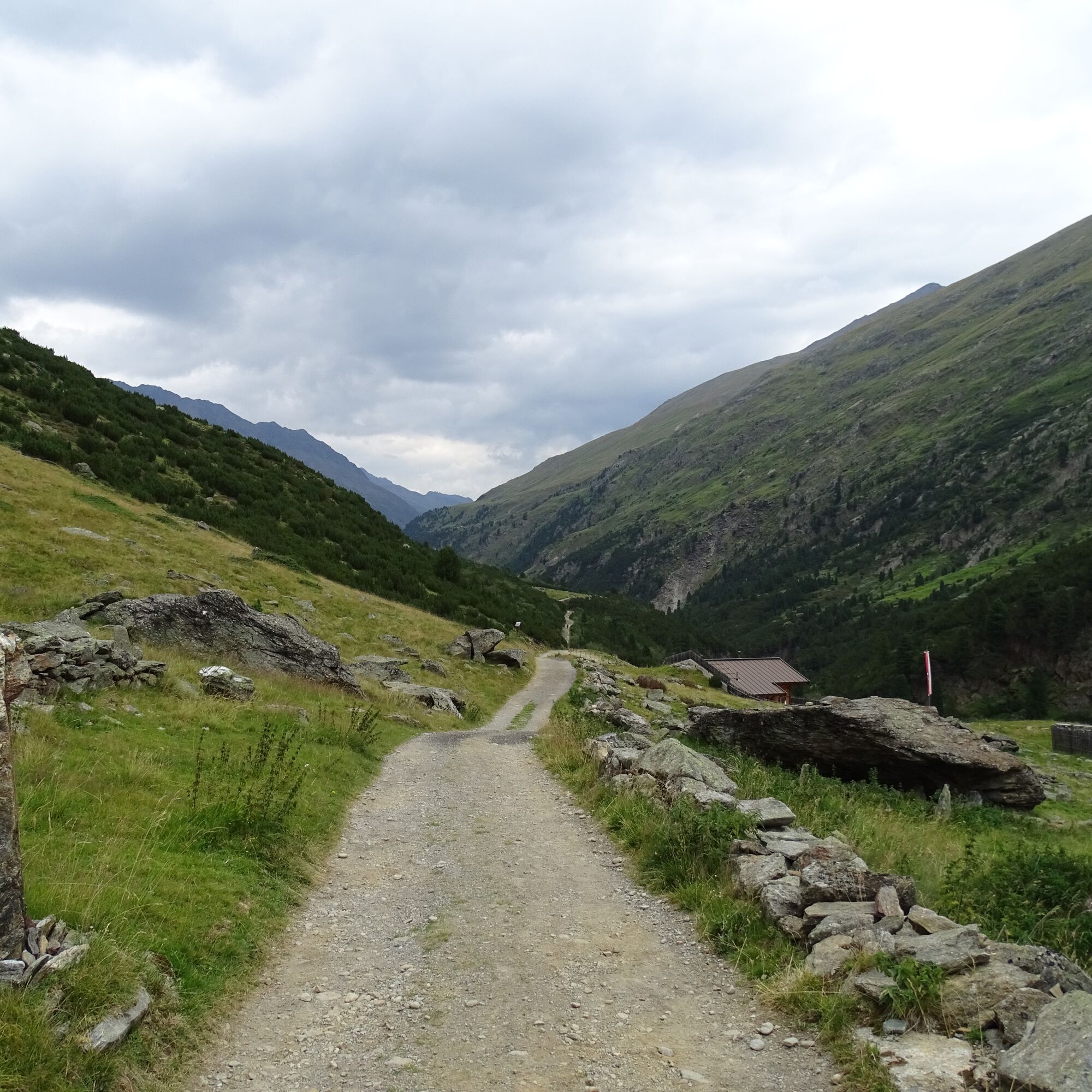
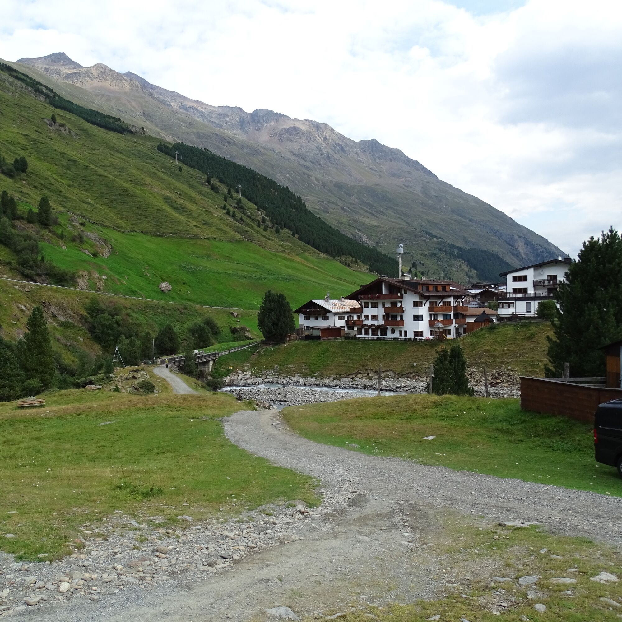
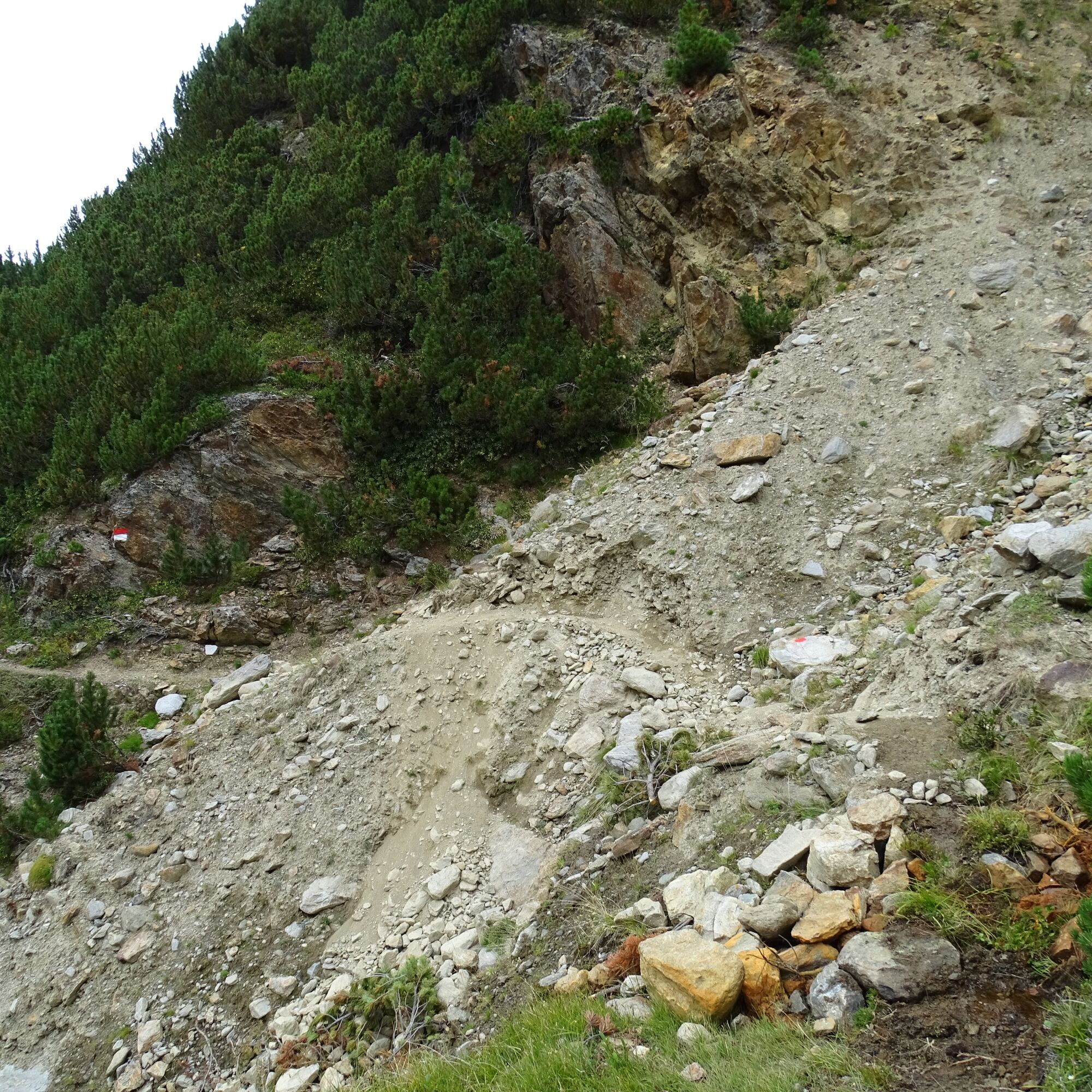
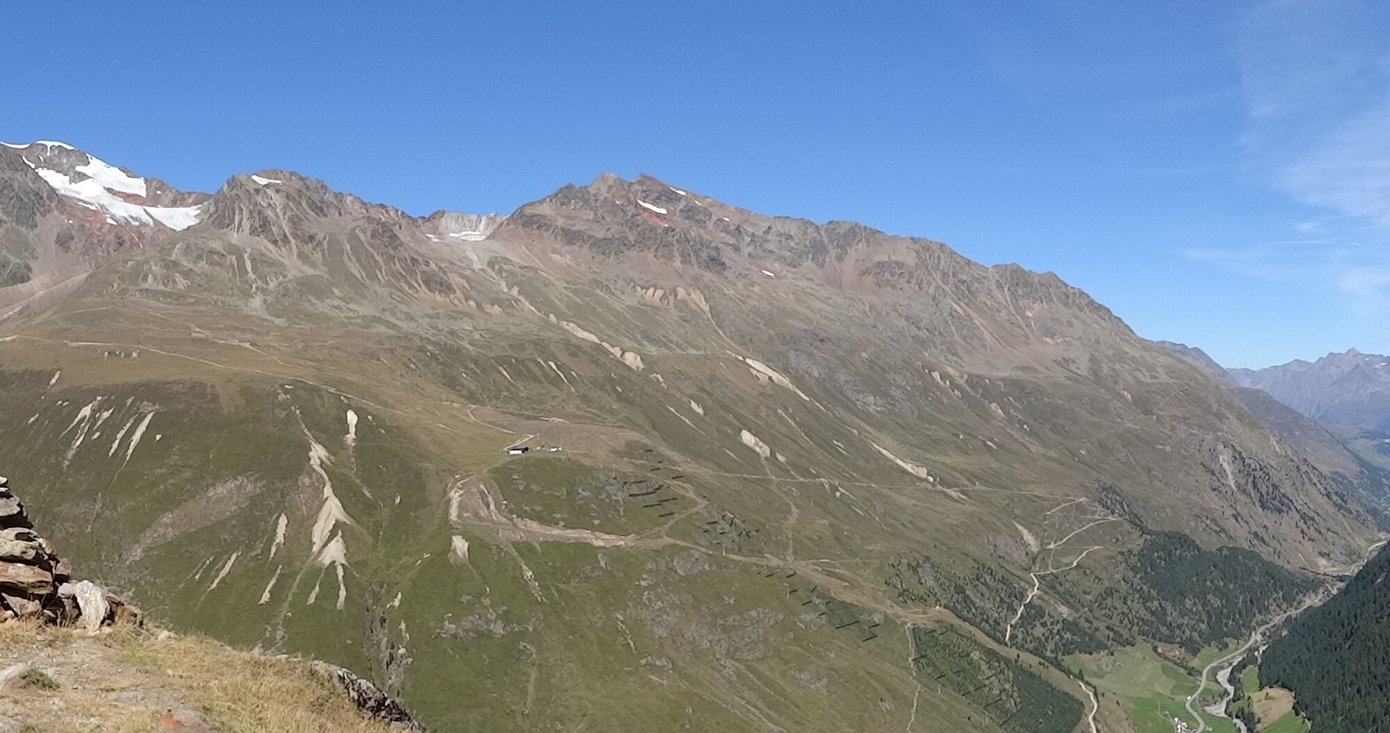

Above the tree line, follow the trail markers from the Hörnle. The gently descending path leads further into the valley, later passing through a steep gully (a narrow trail where sure-footedness and a head for heights are essential) and several smaller gullies. The route then continues through mountain pine forests to the Niedertalalm.
For the return journey, follow the wide trail back to Vent.
Ano
Appropriate equipment such as breathable and weather-appropriate outdoor clothing, ankle-high hiking boots, wind, rain and sun protection, hat, possibly gloves, is required for all hikes and routes. Carrying a first aid kit, a mobile phone and possibly a hiking map, as well as sufficient provisions for hikes without food stops, is necessary.
Bei Regen - Vorsicht bei den Rinnen
The car journey to the ÖTZTAL. Located in Tyrol, the Ötztal branches southwards as the longest side valley of the Eastern Alps. Traveling by car takes visitors via the Inn valley to the valley entrance and continues along the Ötztal. Besides toll motorways, country roads can also be used. Your drive can be quickly and conveniently planned with the route planner: To the route planner: www.google.at/maps
Travel comfortably and safely by train to the Ötztal railway station. The terminus or exit point is ÖTZTAL station. Afterwards, you can conveniently and quickly continue by public transit or local taxi companies through the entire valley to your desired destination! Current bus schedules are available at: fahrplan.vvt.at
- In summer, in front of the village (parking meter, coins or EC card only) and at the valley station of the chairlift (at the cash desk of the mountain railways)
- In winter, only at the valley station of the chairlift.
Paid parking.
T3
Mehr Infos über Wandern im Ötztal: www.oetztal.com/wandern
Einkehr NIedertalalm - geöffnet bis 13.09.2026
Webové kamery z prohlídky
Získejte přehled Vždy živě na místě s více než 9 500 webkamerami. bergfex Jako uživatel Pro si nyní můžete zobrazit odpovídající webové kamery pro mnoho prohlídek v aplikaci prohlídky z. Můžete si tak přímo prohlédnout aktuální podmínky. Oblíbené prohlídky v okolí
- 4.7
Vent - Kreuzspitze
Turistika 20.6 km - 4.2
Vorderkaser - Eishof / Texelgruppe
světloTuristika 4.83 km - 4.5
Vent - Wilder Mann - Breslauer Hütte - Stableinalm
středníTuristika 7.25 km - 4.8
Kurzras - Schöne Aussicht - ins hintere Eis
středníTuristika 13.0 km - 4.4
Rundweg Vernagter See plus Einkehr Finailhof
středníTuristika 8.73 km - 3.8
Breslauer Hut
středníTuristika 4.75 km - 4.4
Hochtour Wildspitze, 3.768m
středníVysokohorská turistika 9.75 km - 4.6
Hochwilde - Pfelders
středníVysokohorská turistika 22.1 km - 4.1
Vernagt-Stausee (Seerundgang)
světloTuristika 6.70 km - 4.9
Pfossental - vom Vorderkaser auf die Stettinerhütte
středníTuristika 23.7 km
Pěší turistika a stopování


Nenechte si ujít nabídky a inspiraci pro vaši příští dovolenou
Vaše e-mailová adresa byl přidán do poštovního seznamu.





