







Hike Säumerweg
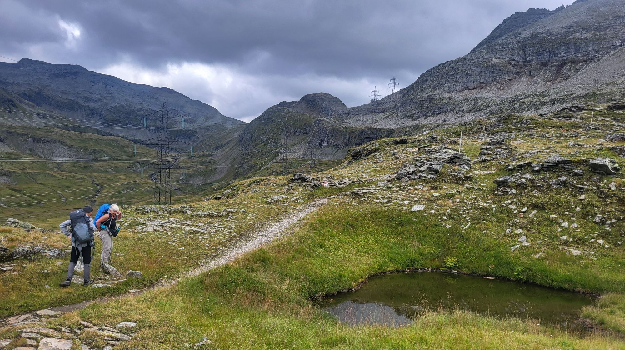
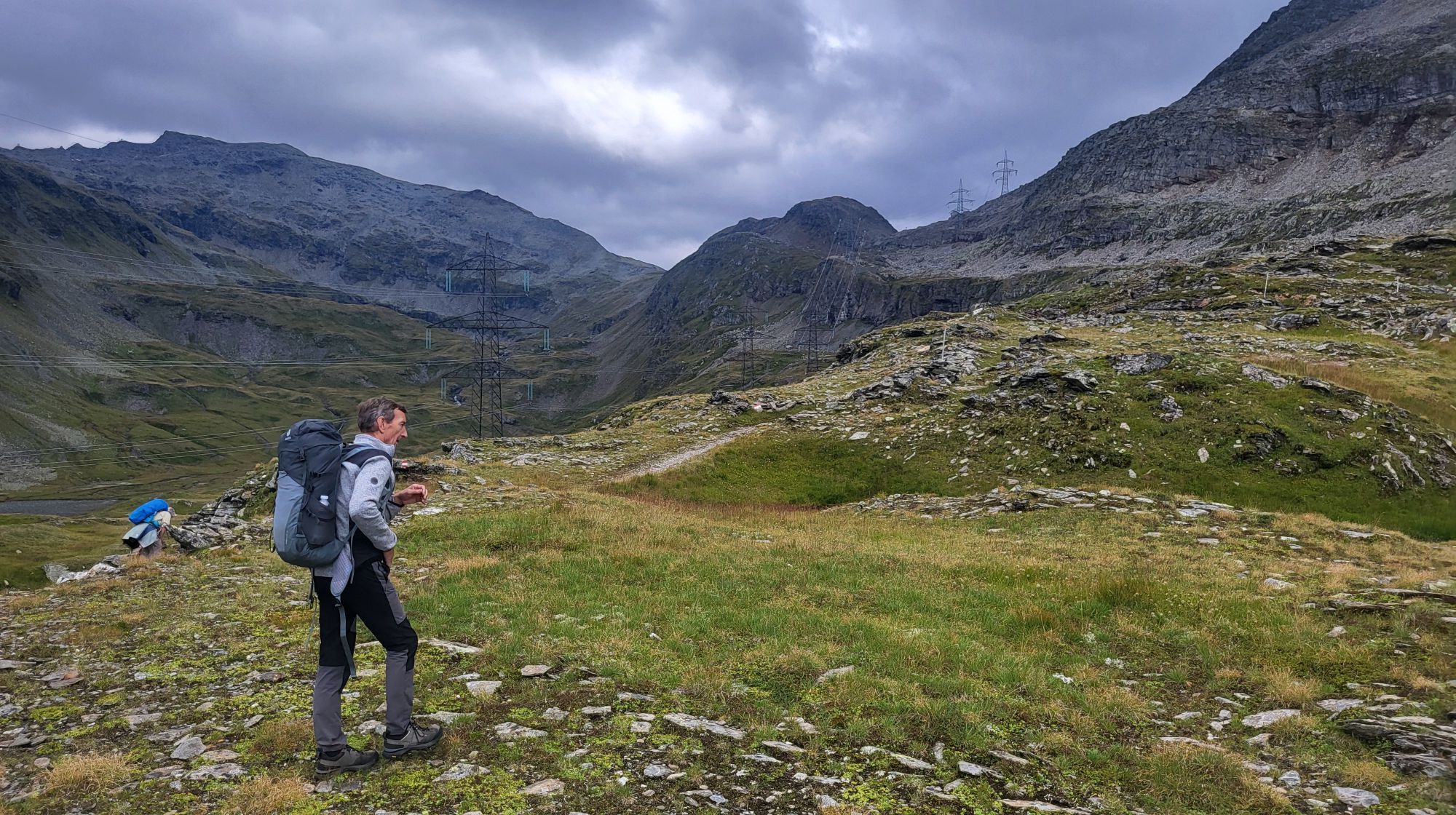
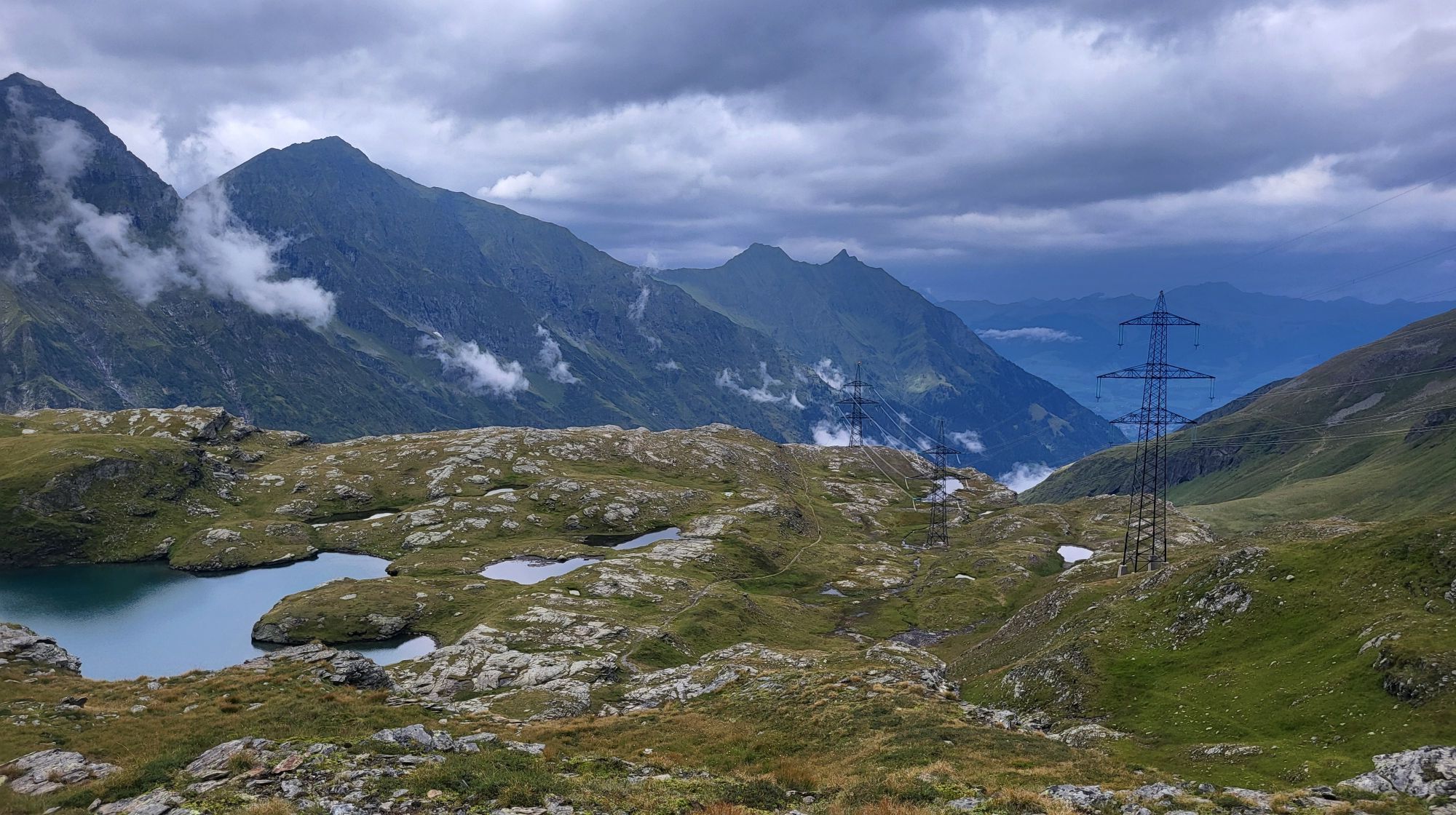
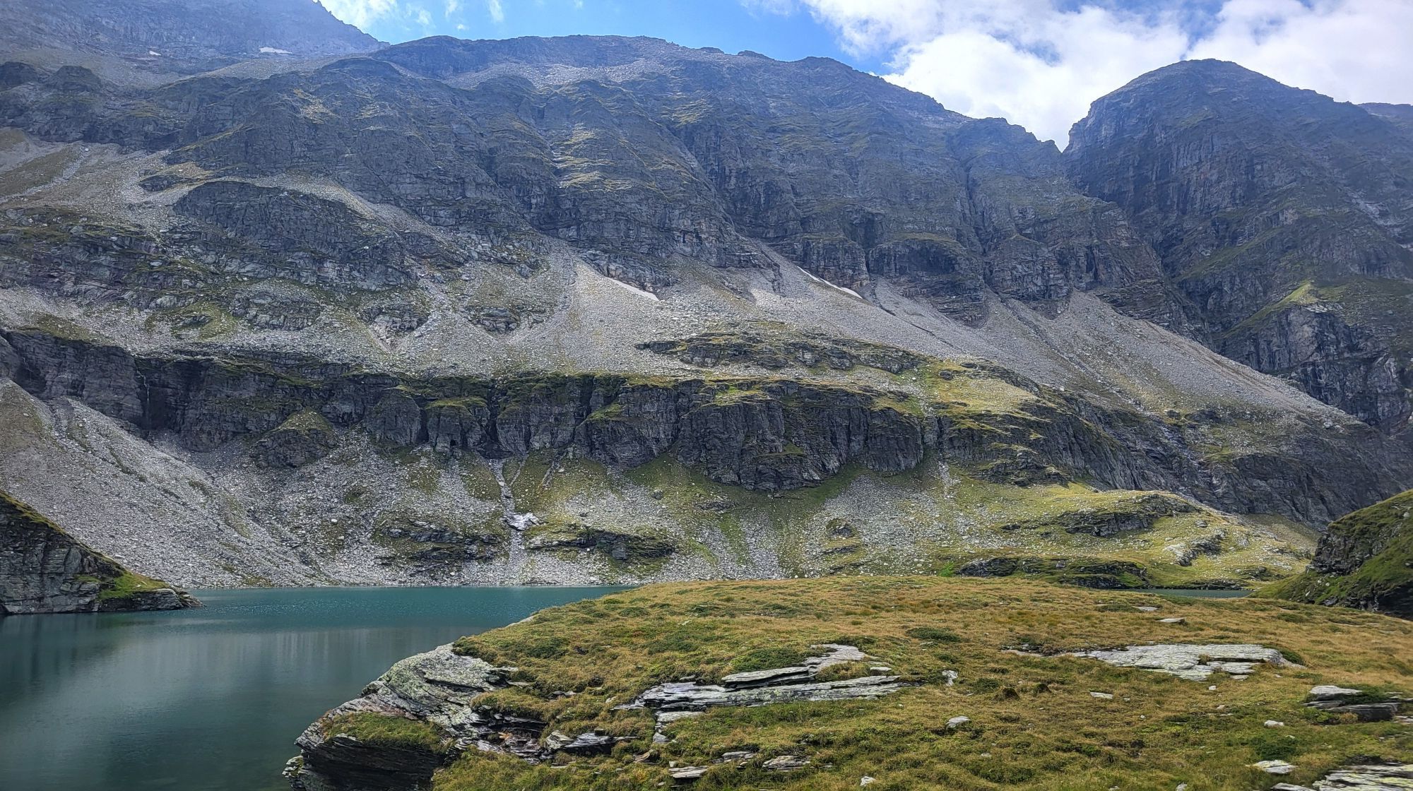
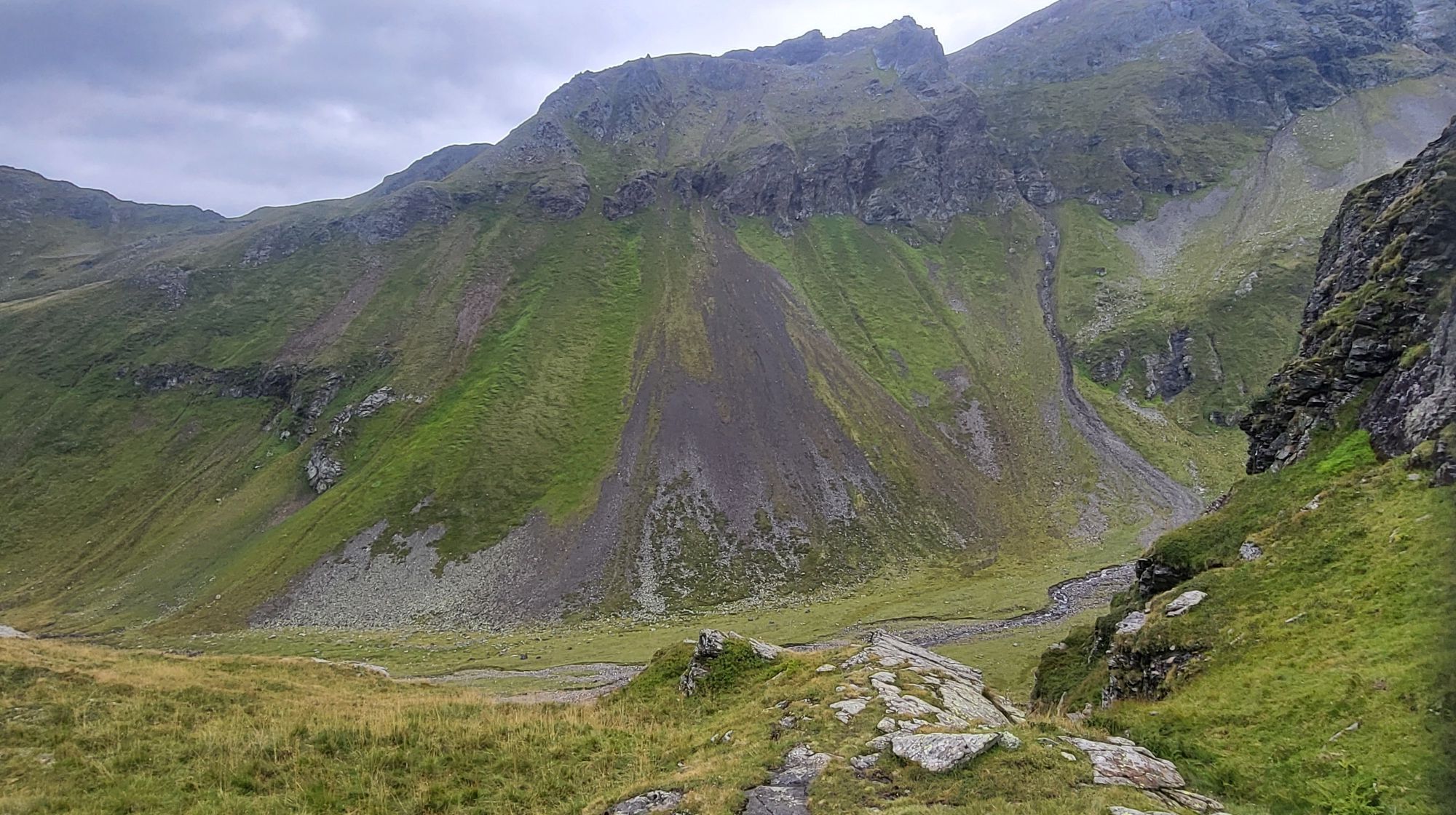
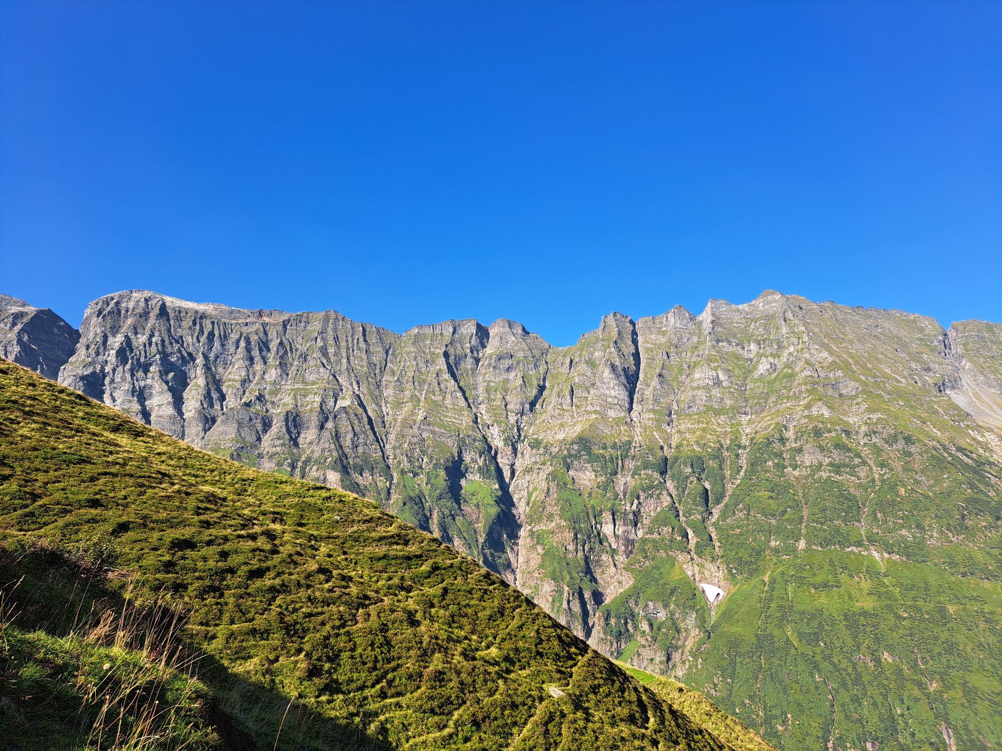
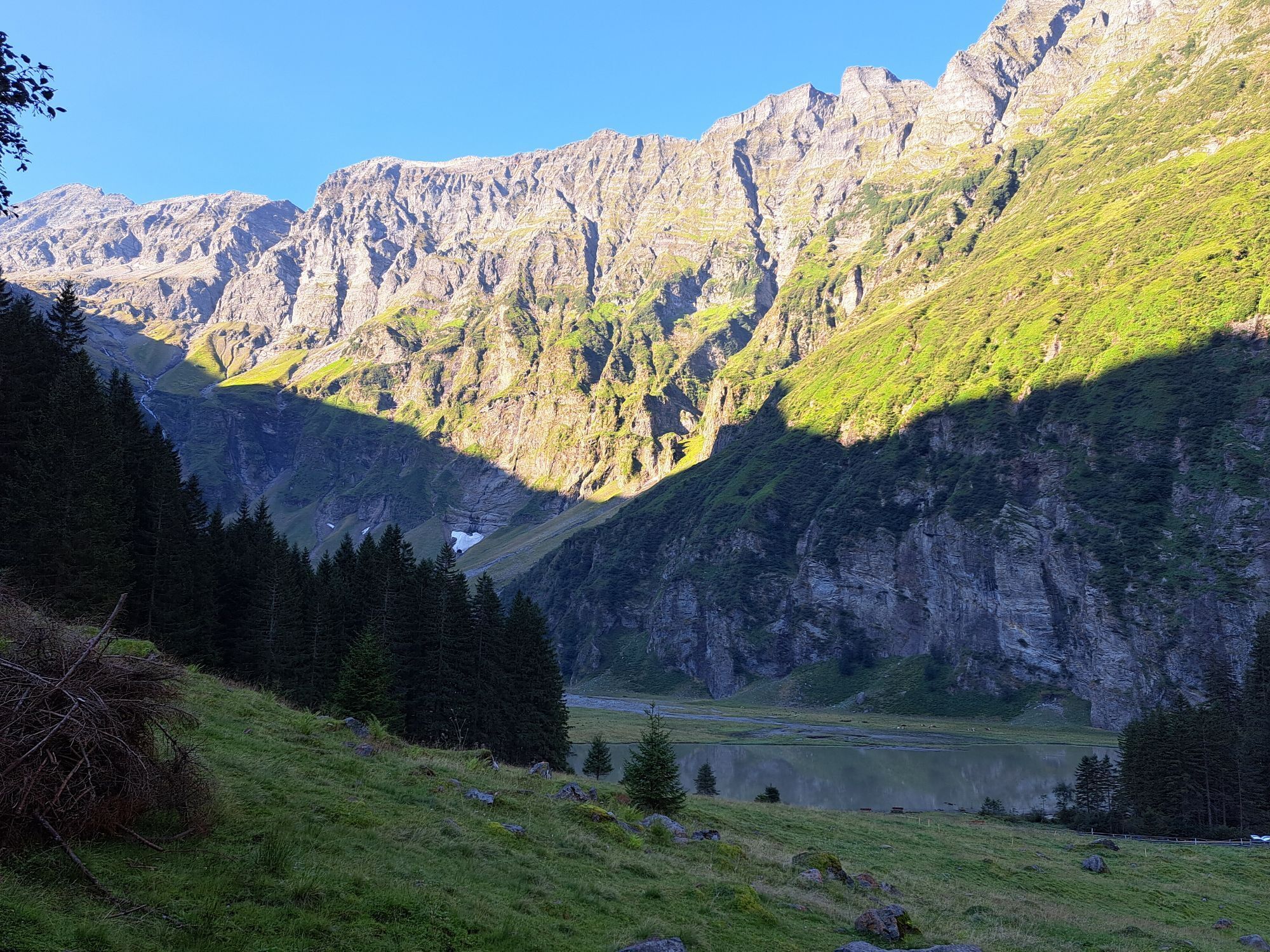
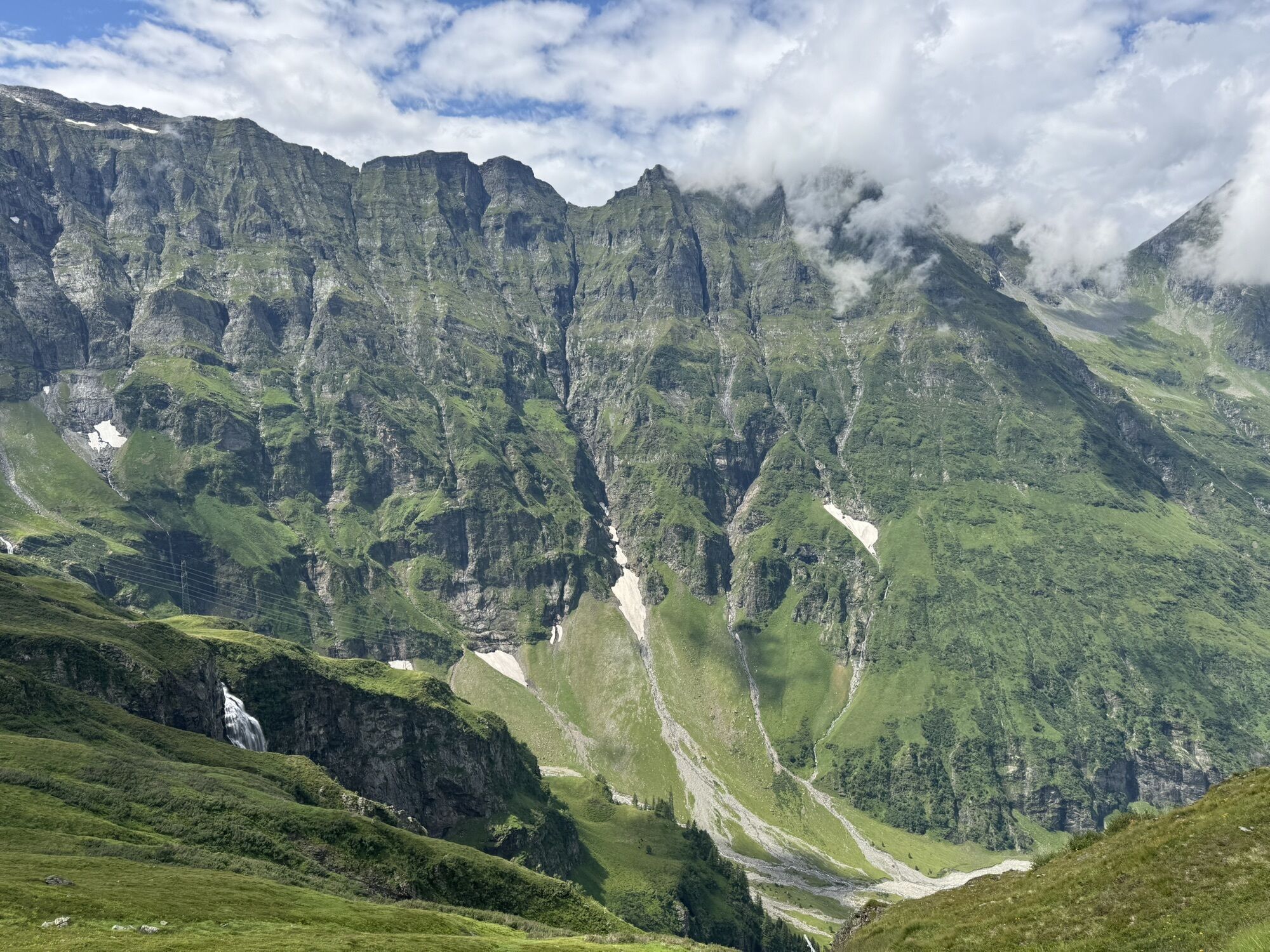
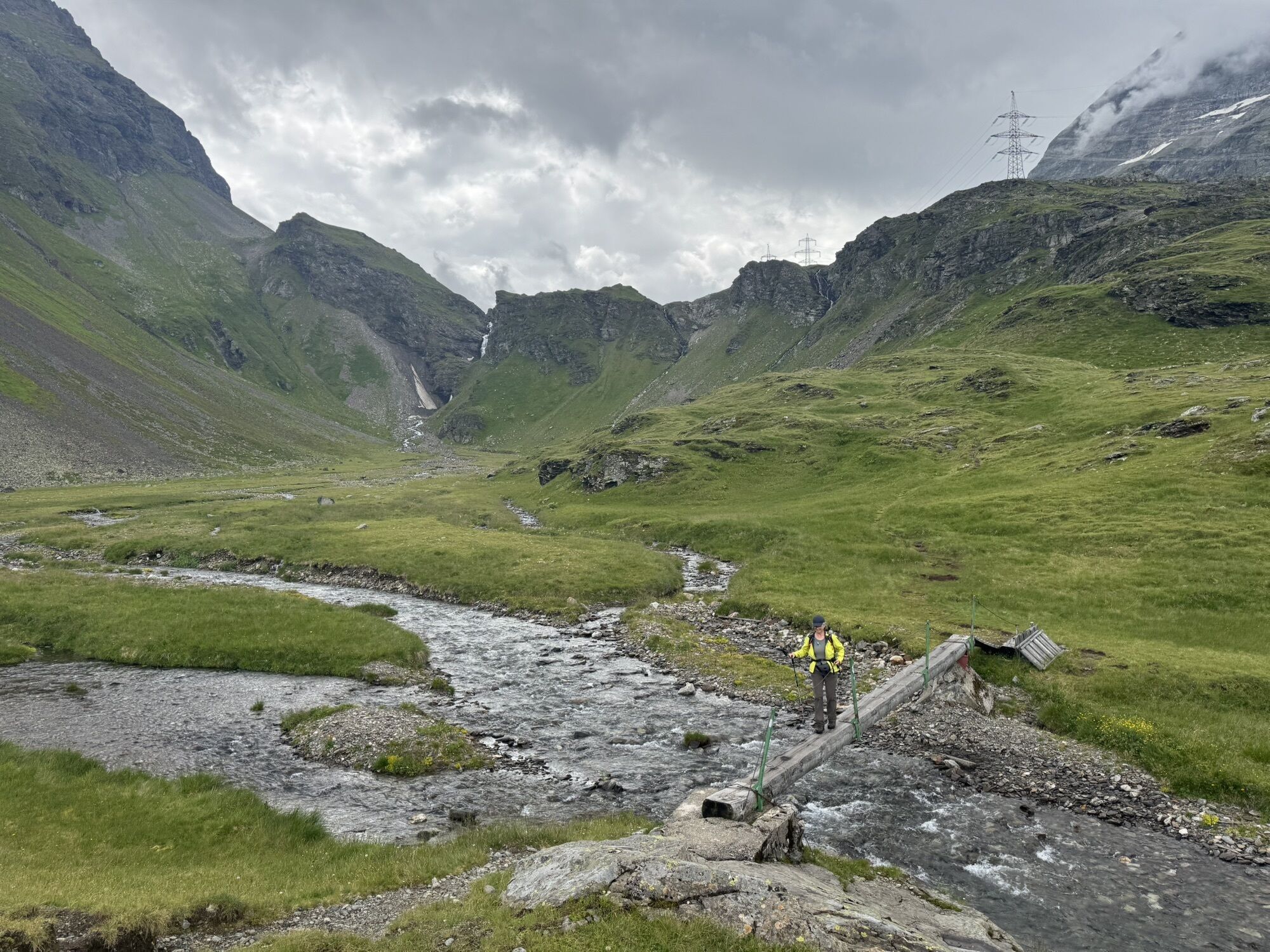
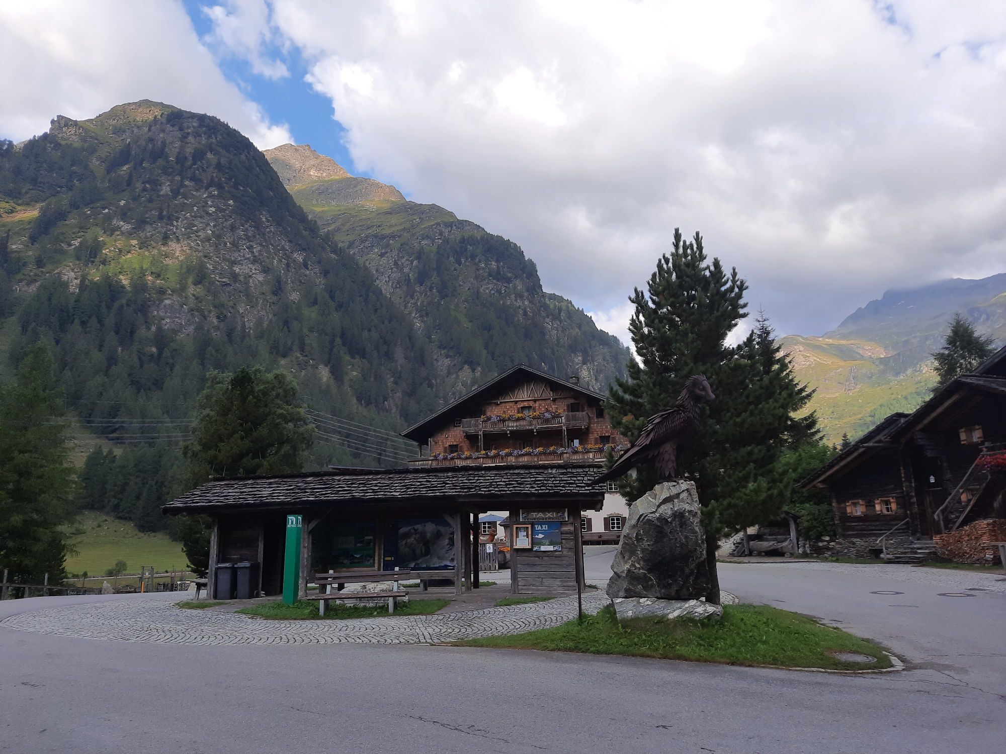
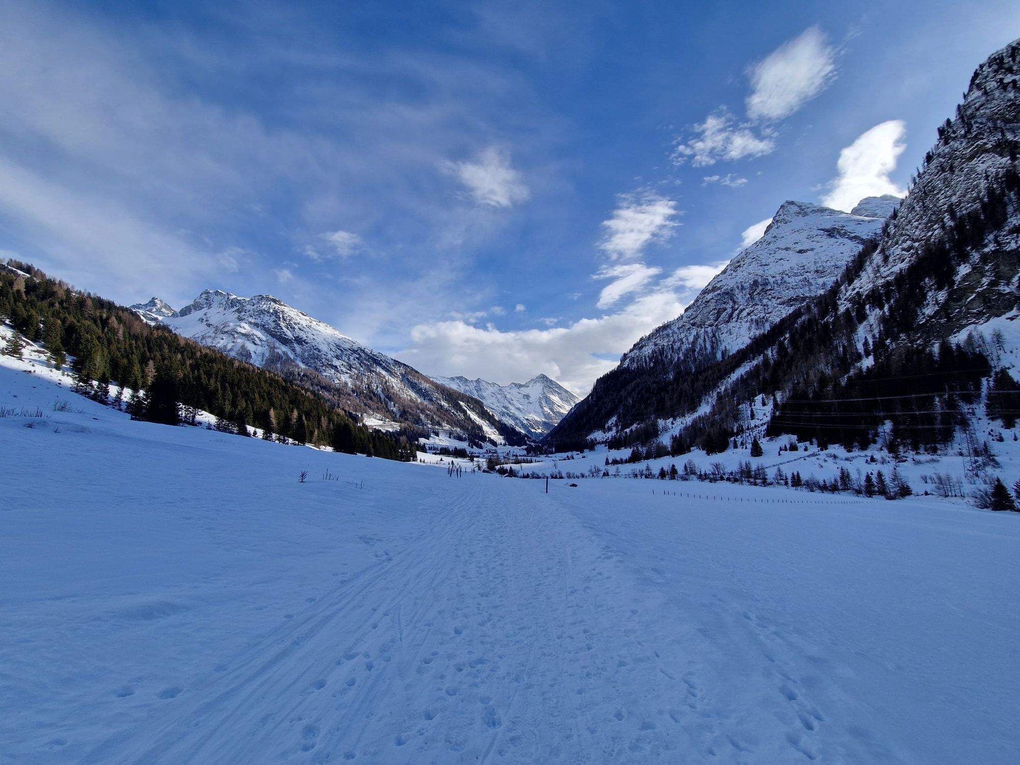
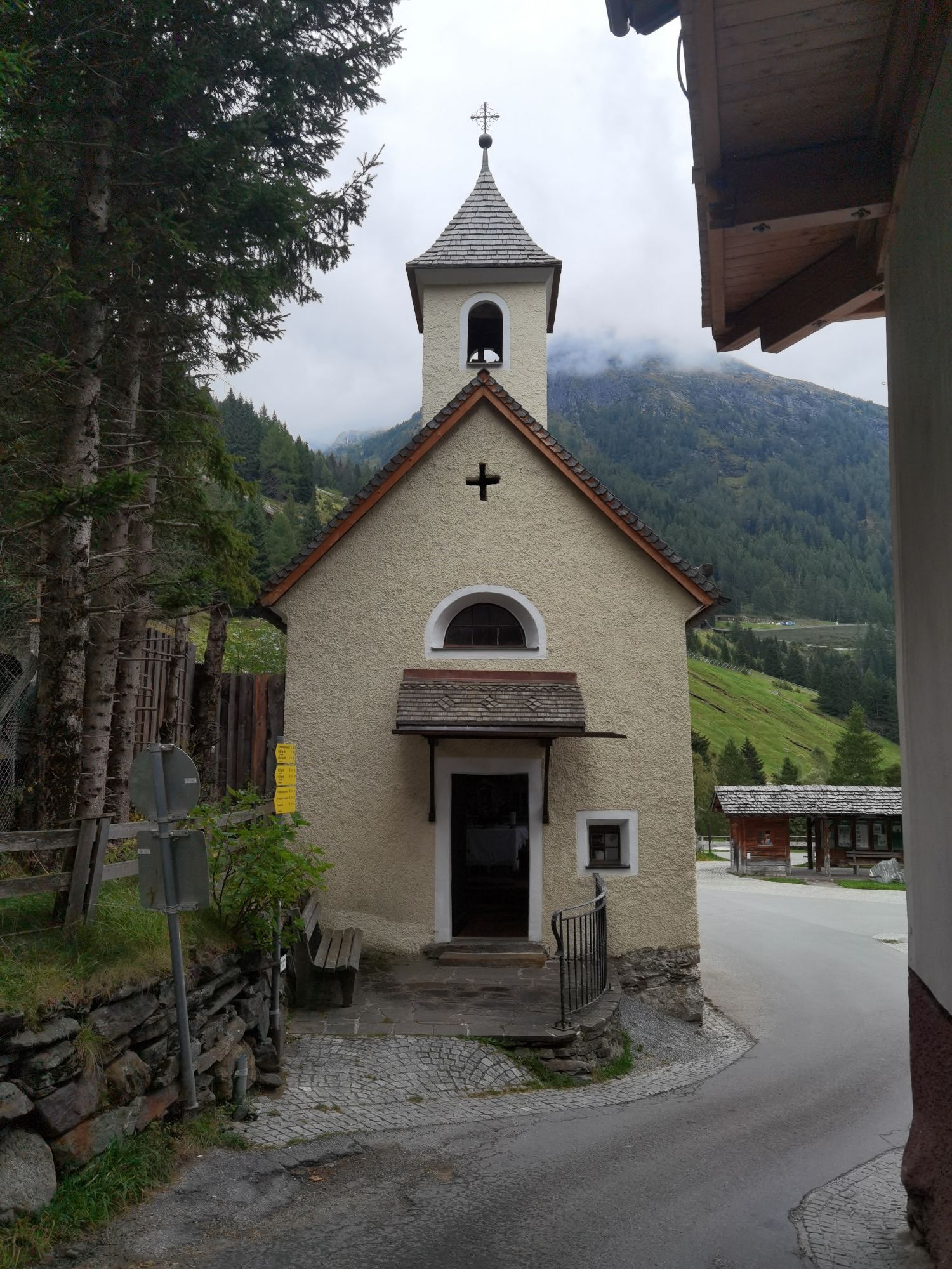
On this varied day hike along historical paths, you follow the trail from Matreier Tauernhaus towards Gschlößtal. Near the Wohlgemuthalm, you reach the start of the "Alten Tauernweges" towards St. Pöltner...
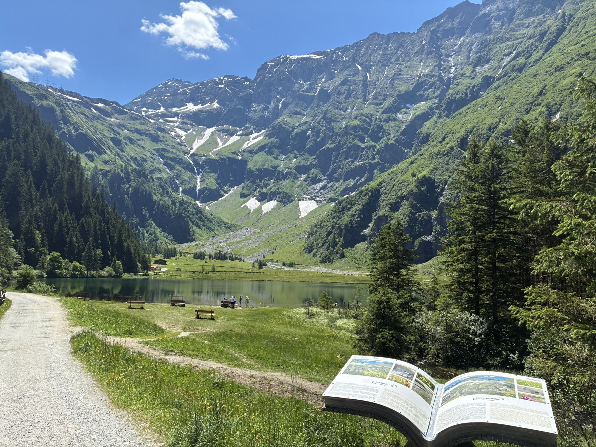
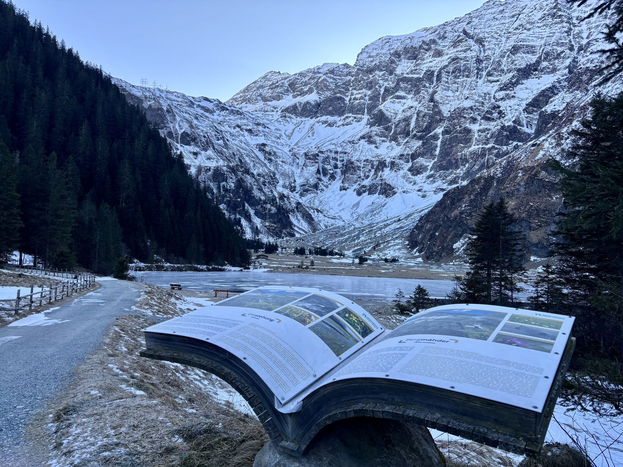
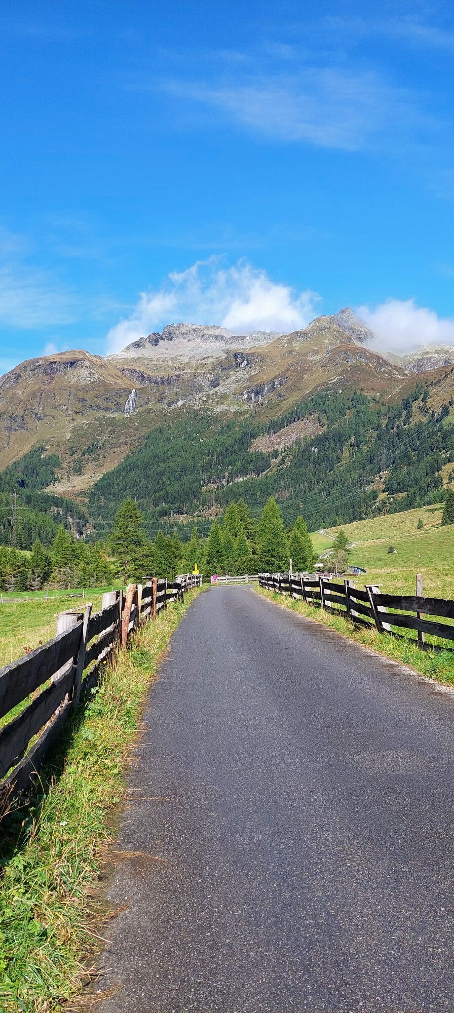
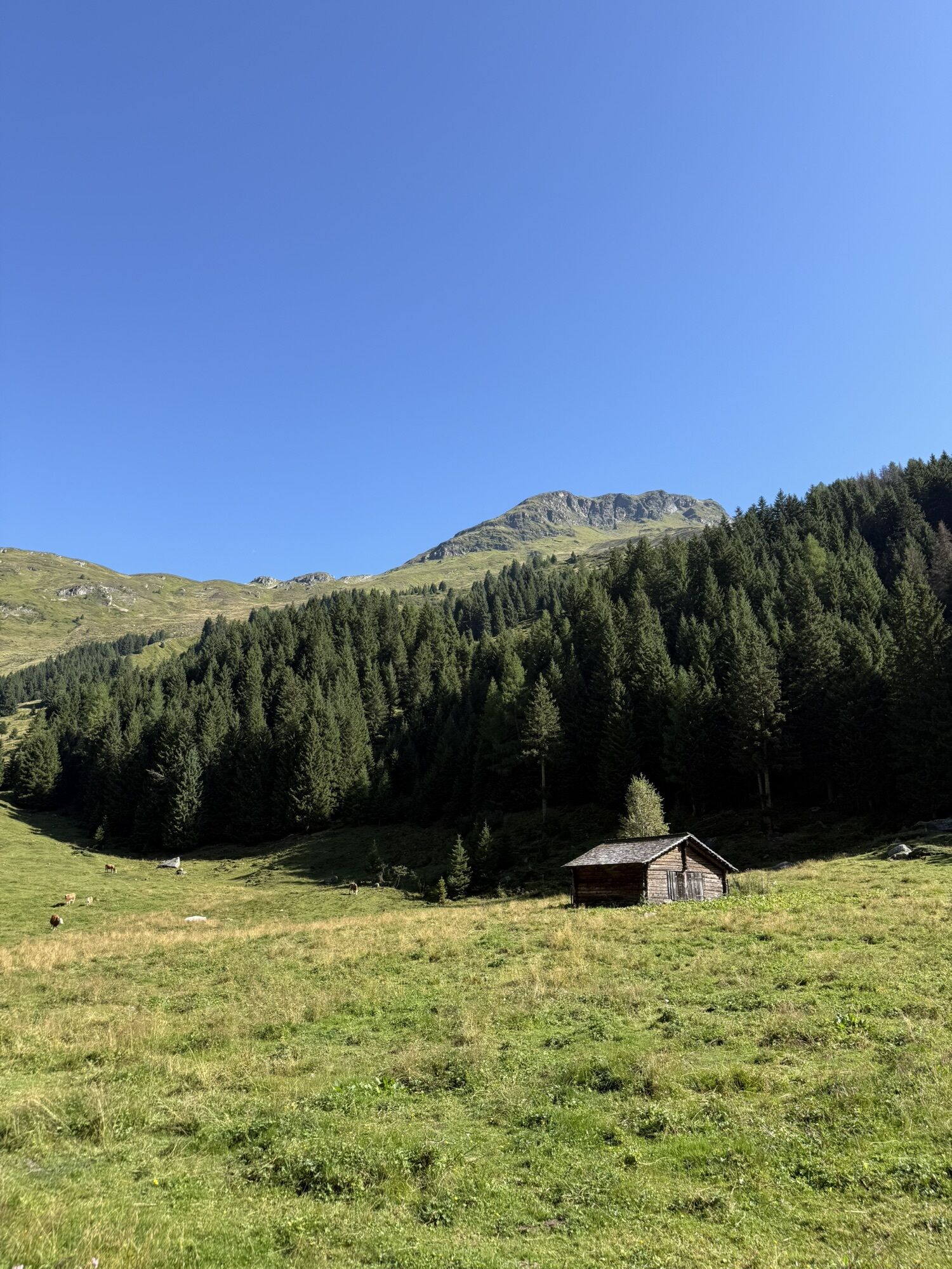
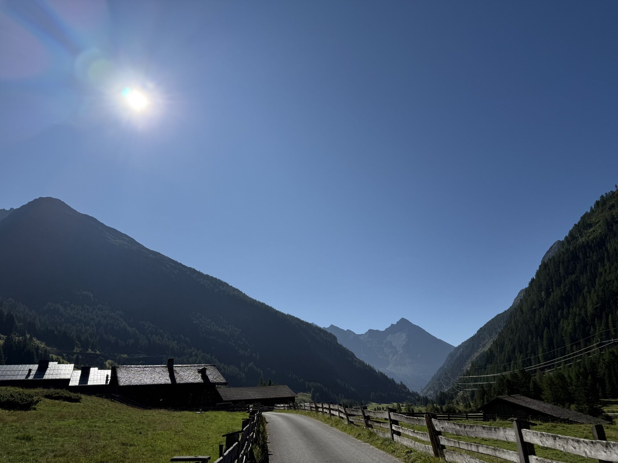
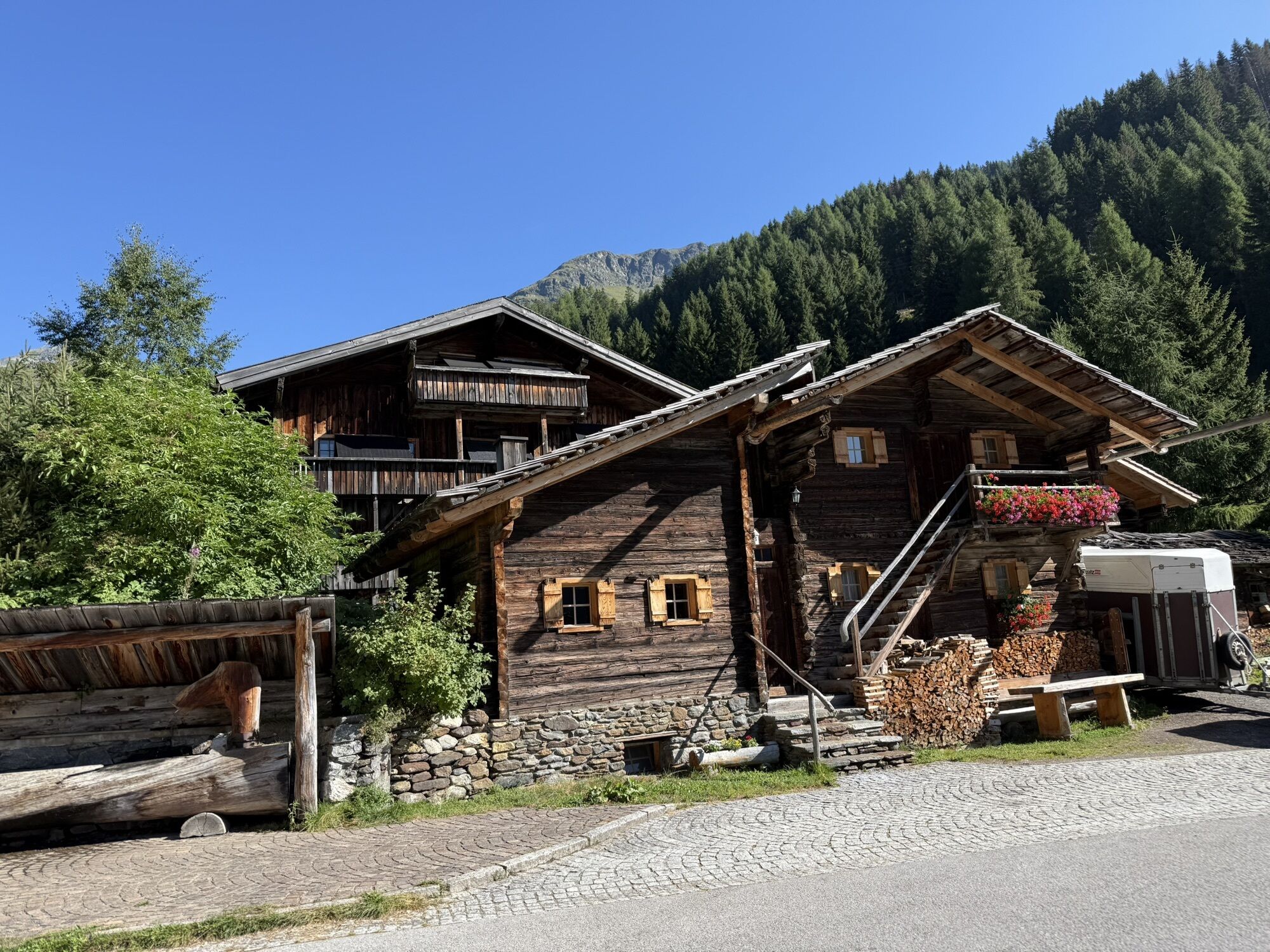
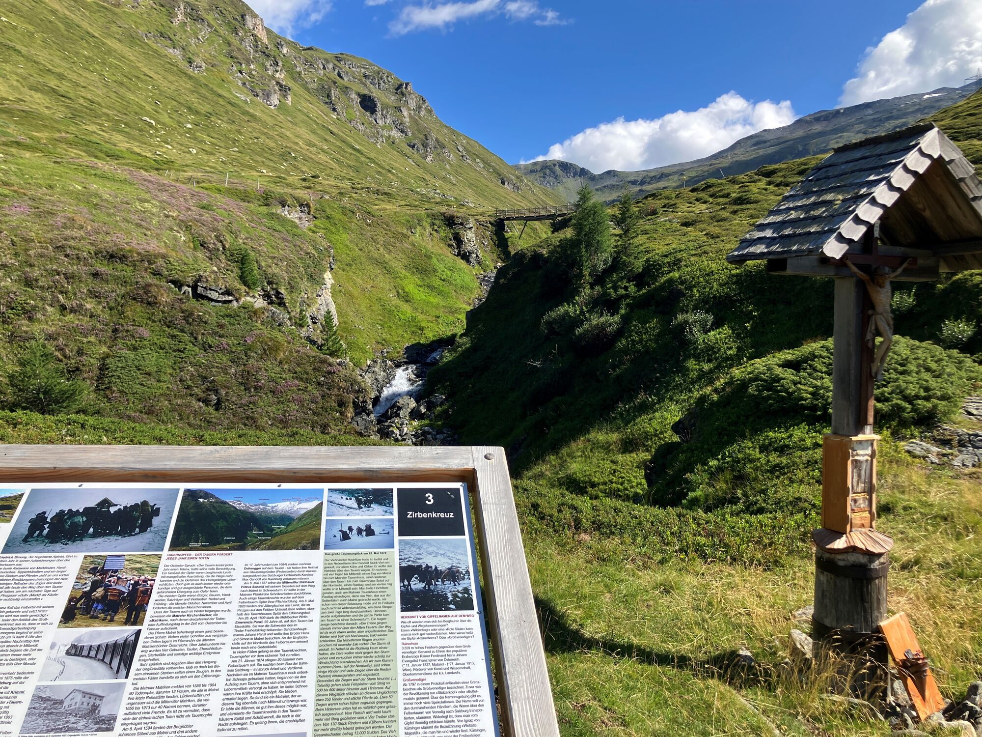
On this varied day hike along historical paths, you follow the trail from Matreier Tauernhaus towards Gschlößtal. Near the Wohlgemuthalm, you reach the start of the "Alten Tauernweges" towards St. Pöltner Hütte (trail no. 511). Along the route, information boards provide insights into the historical pack animal trail and the lives of the muleteers.
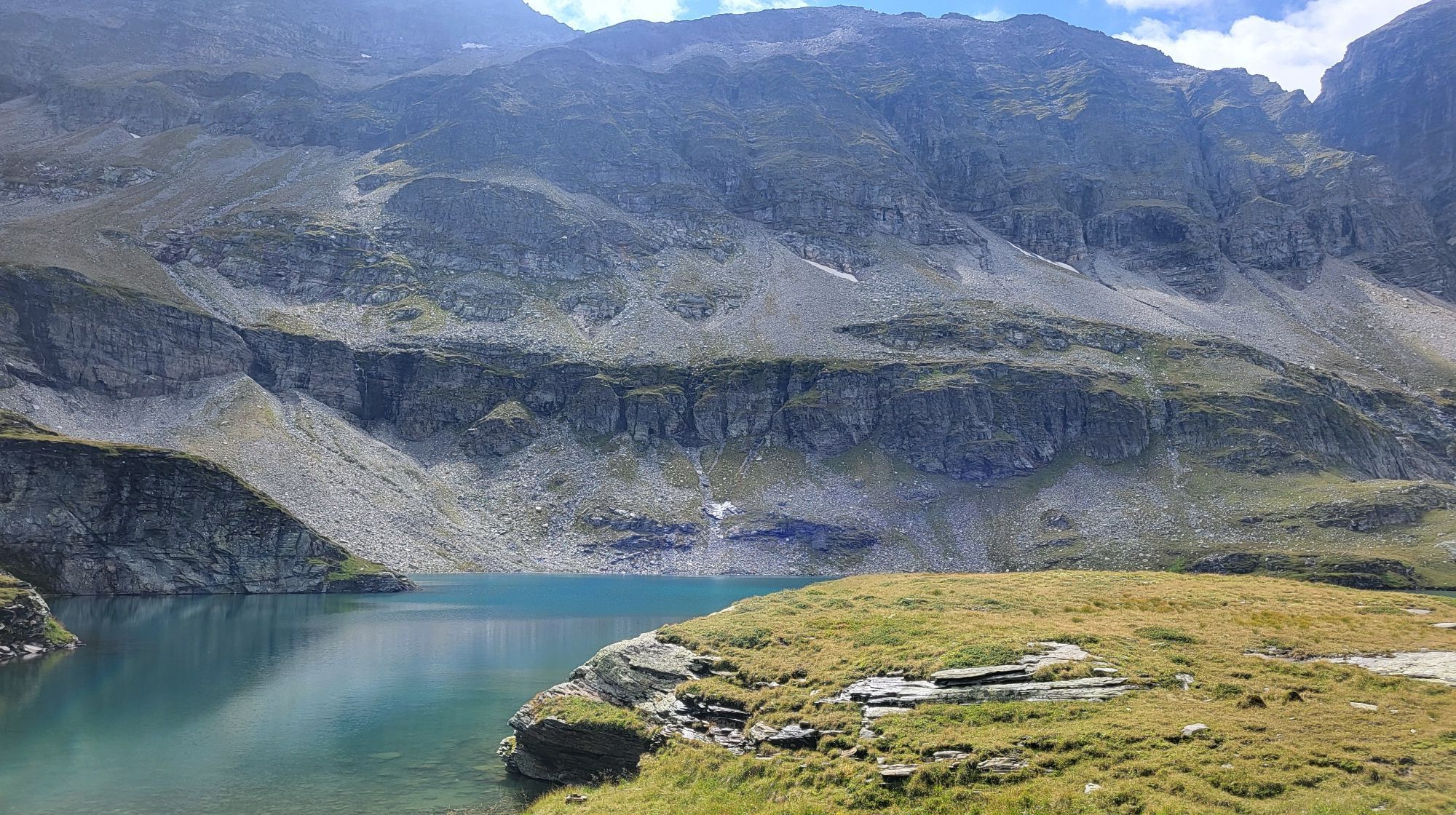
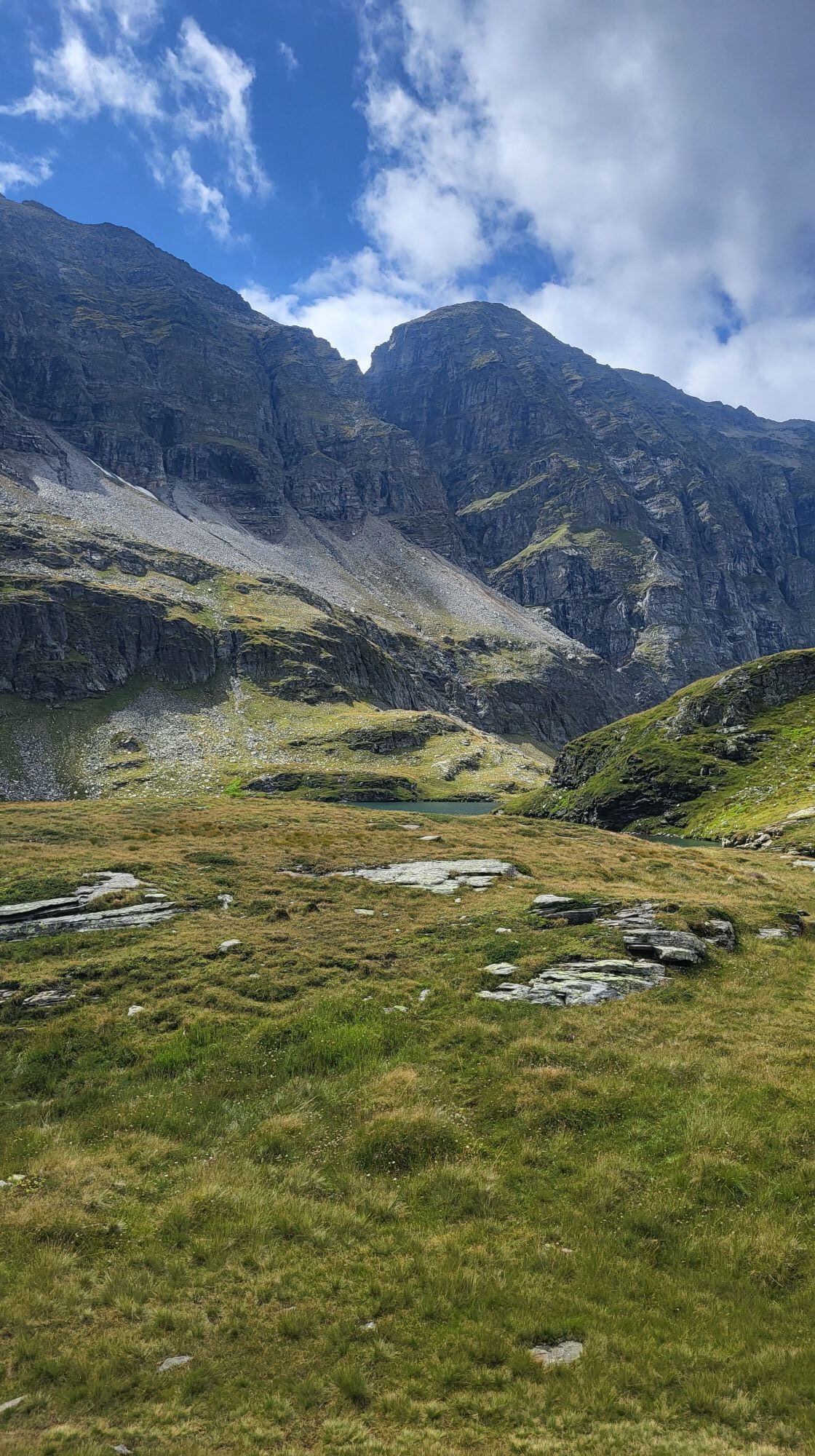
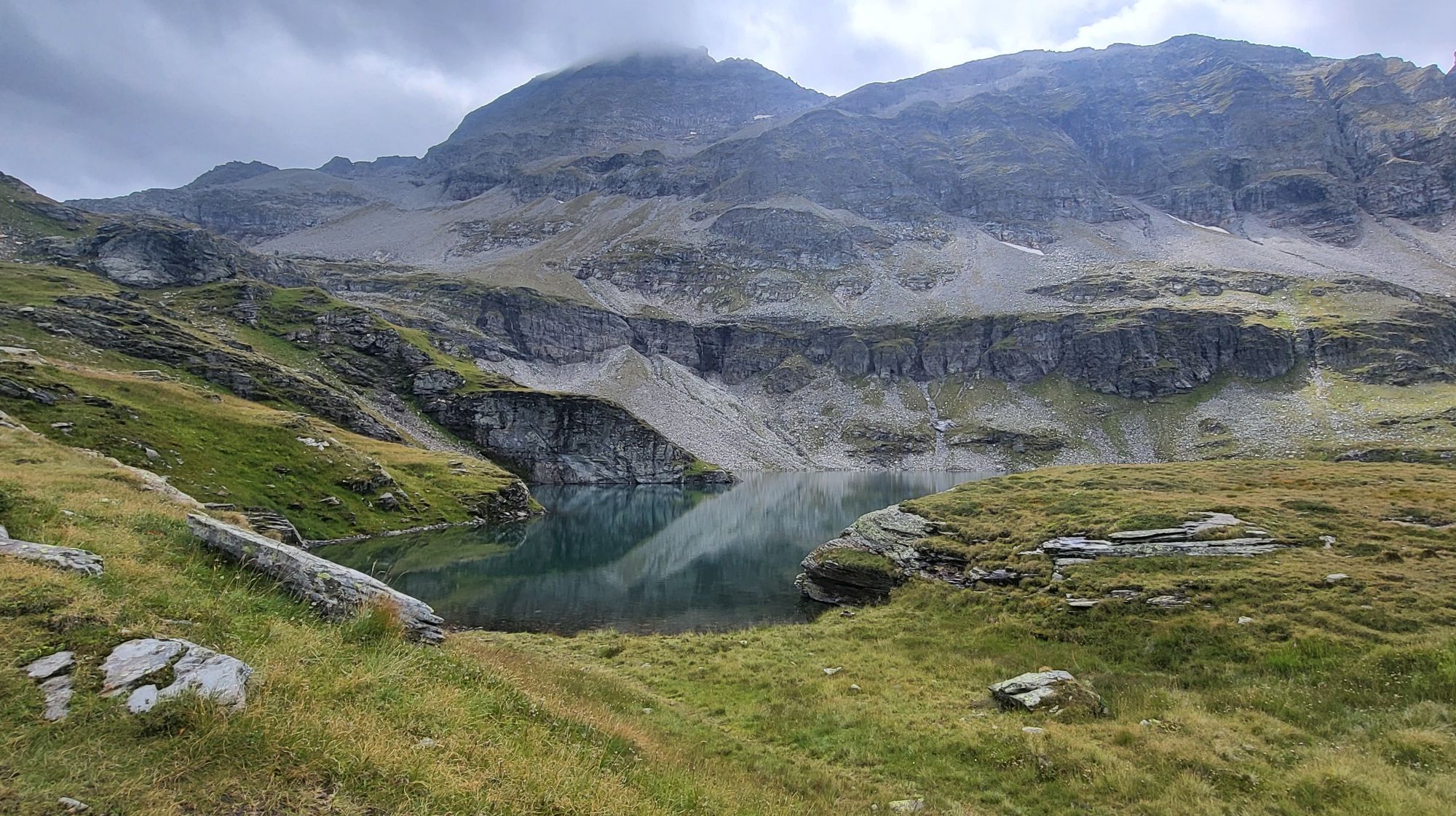
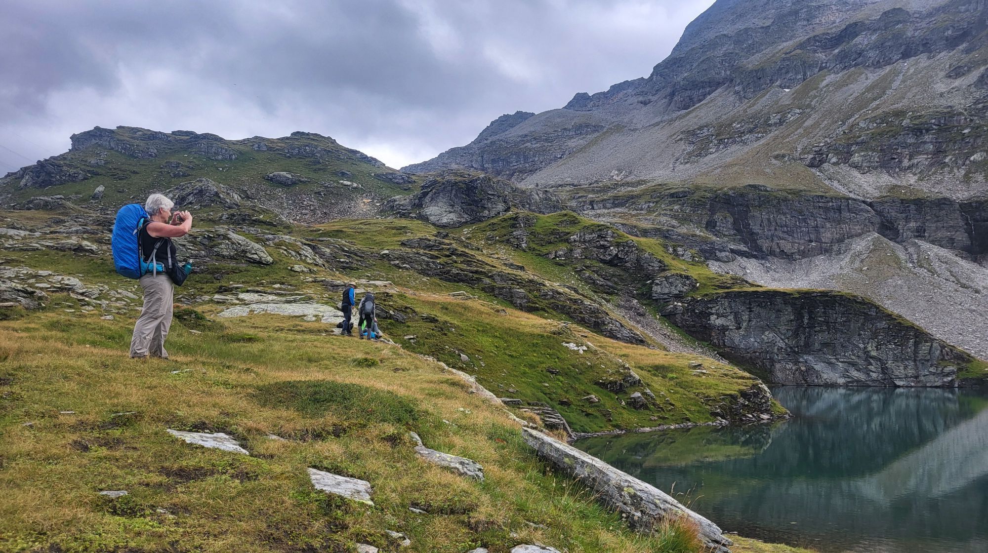
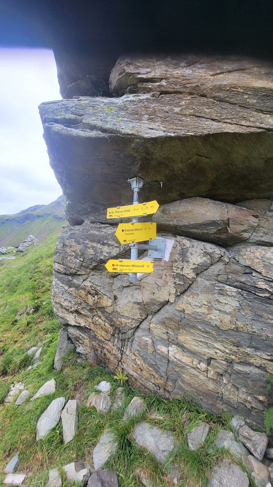
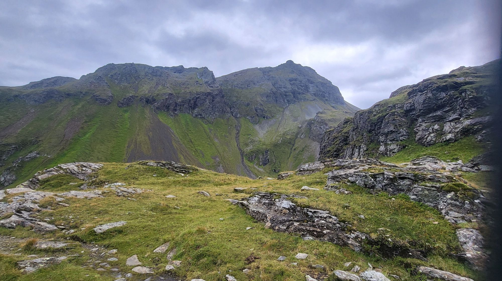
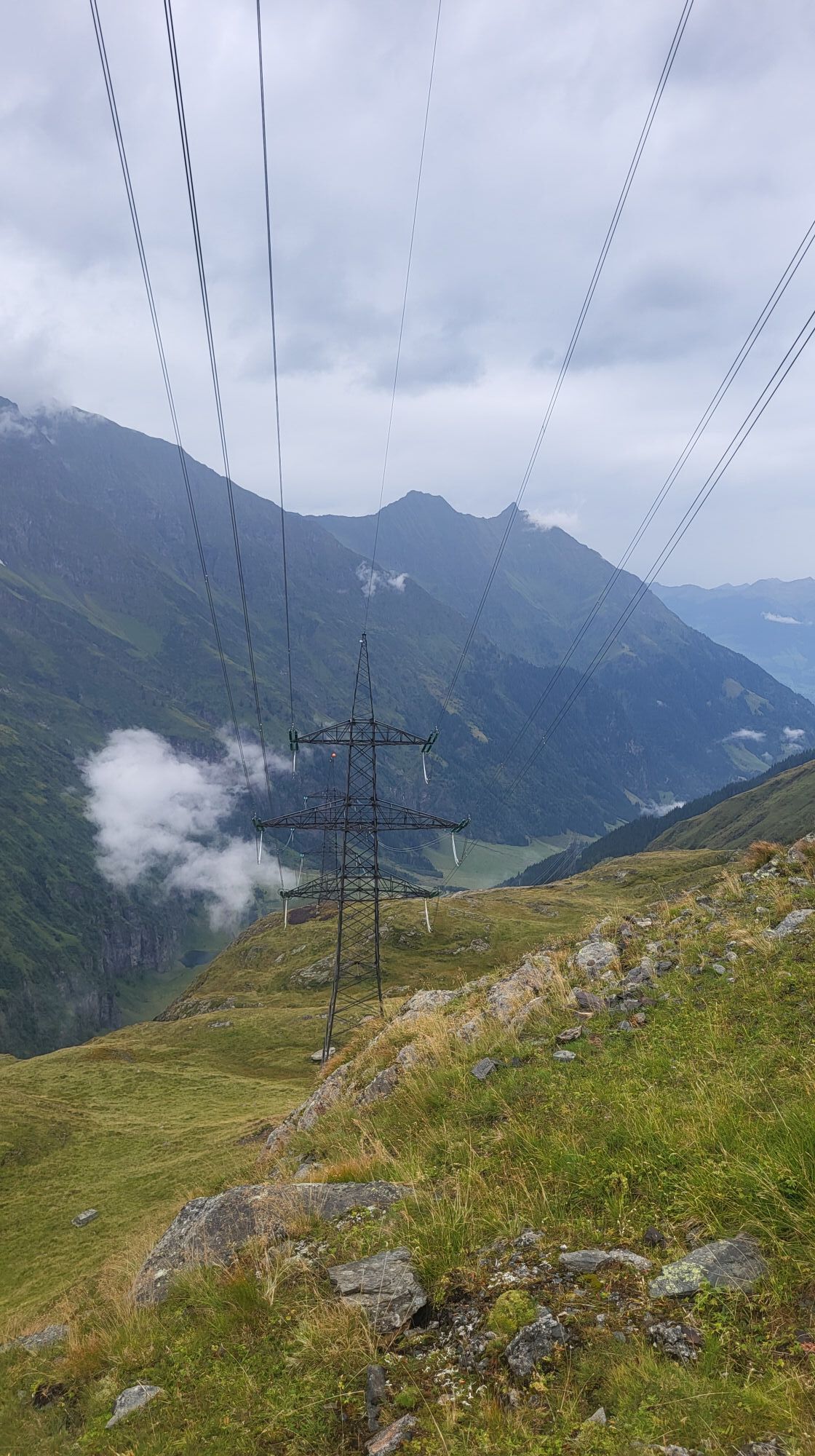
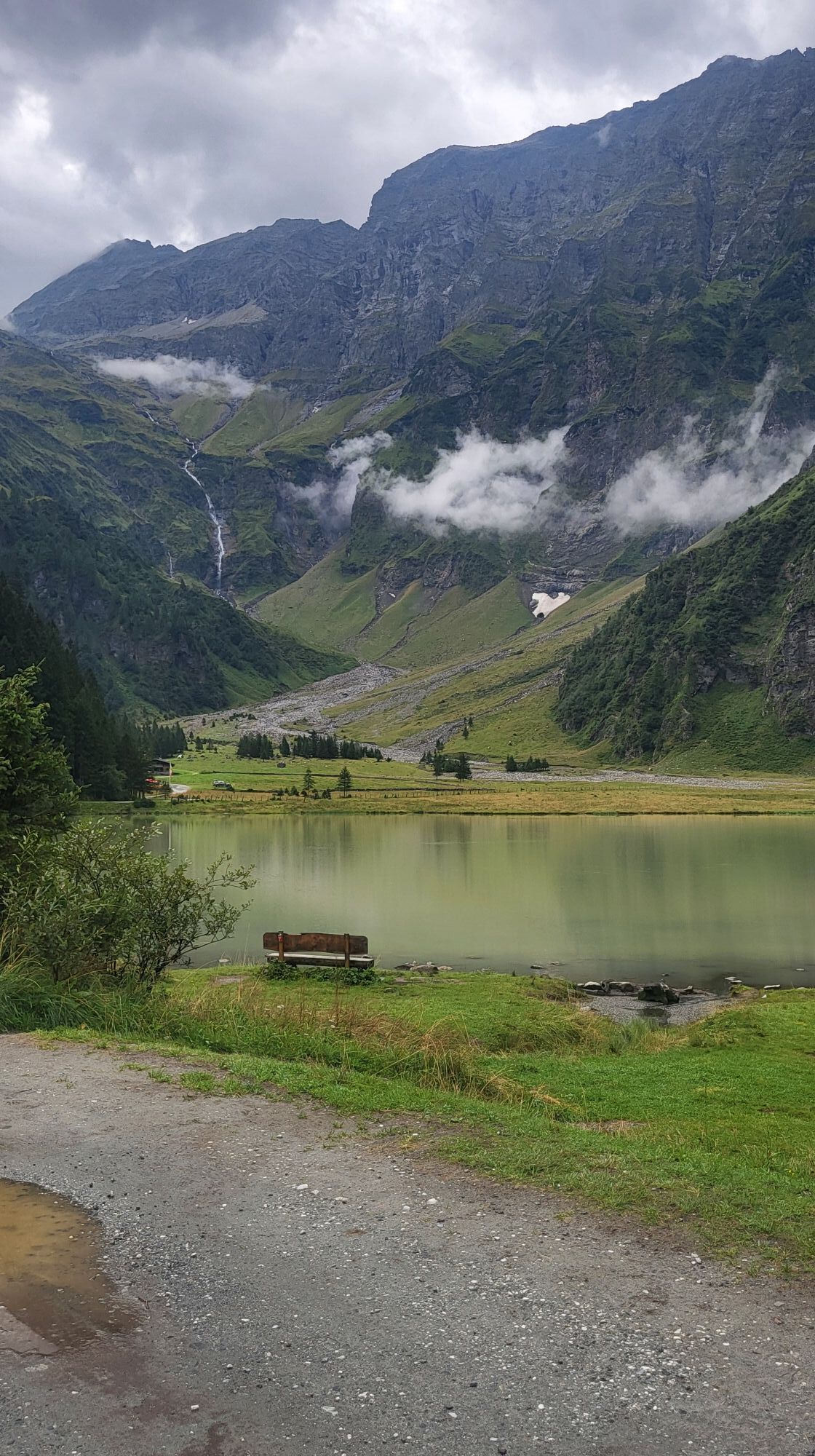
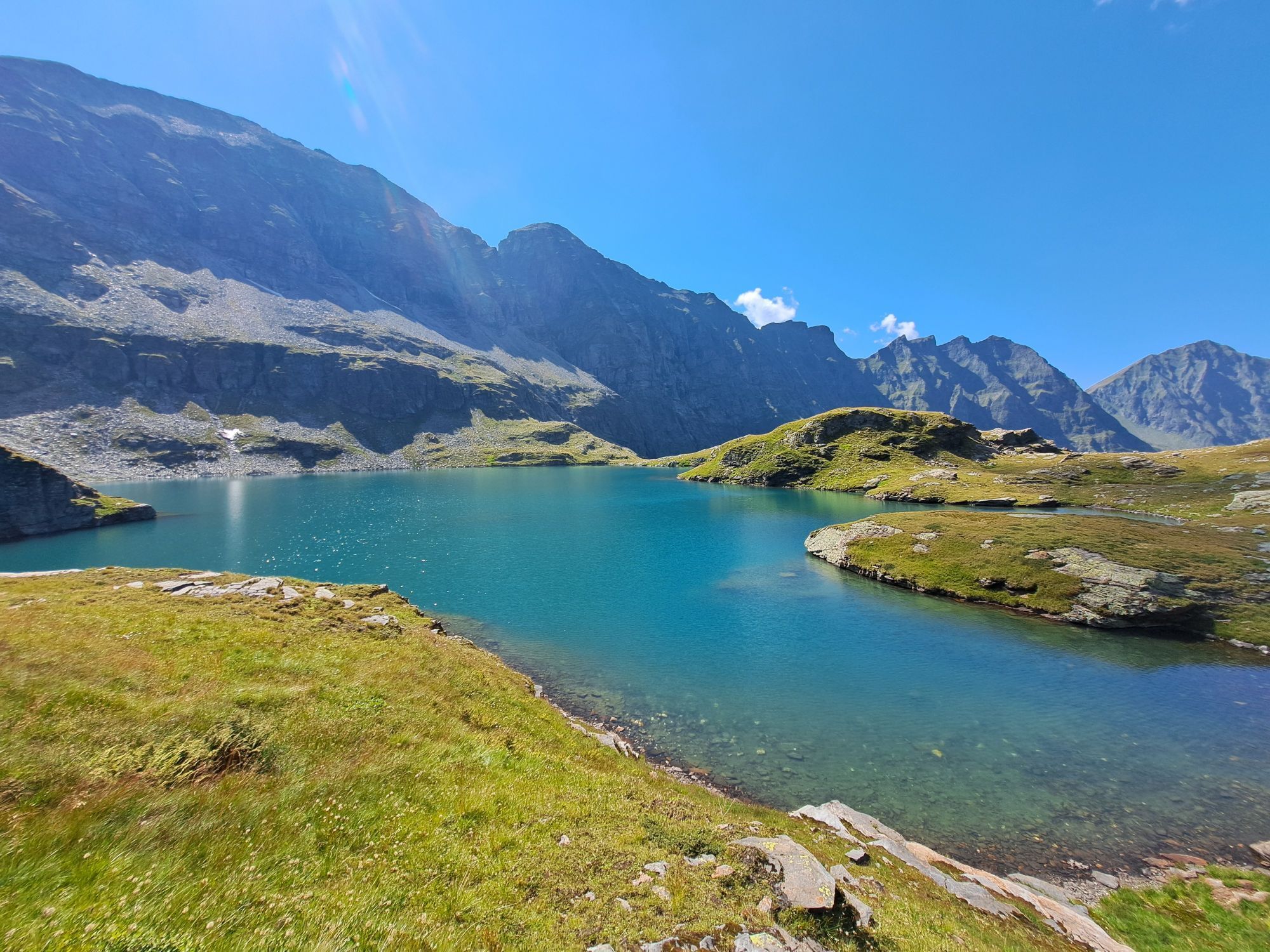
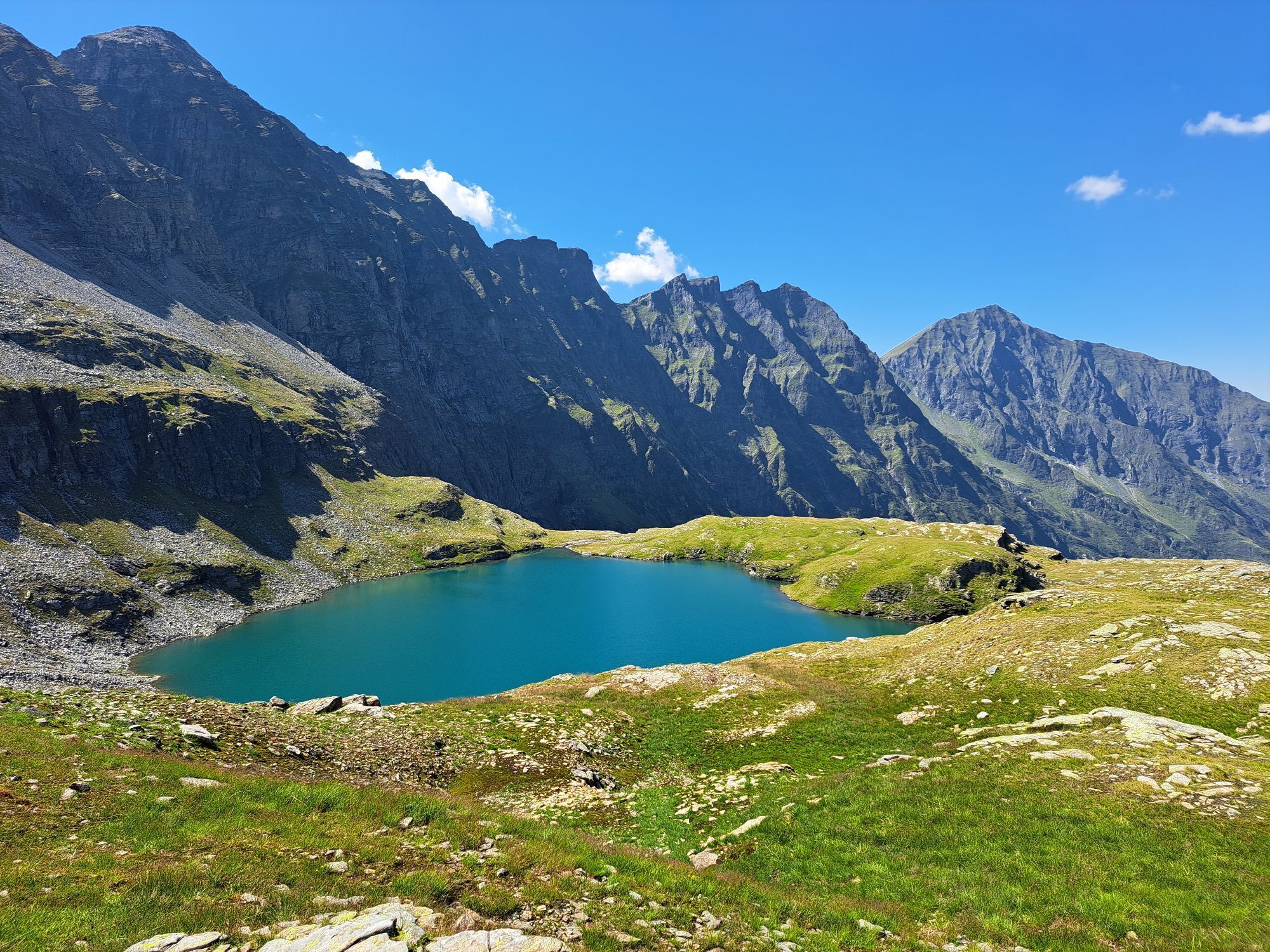
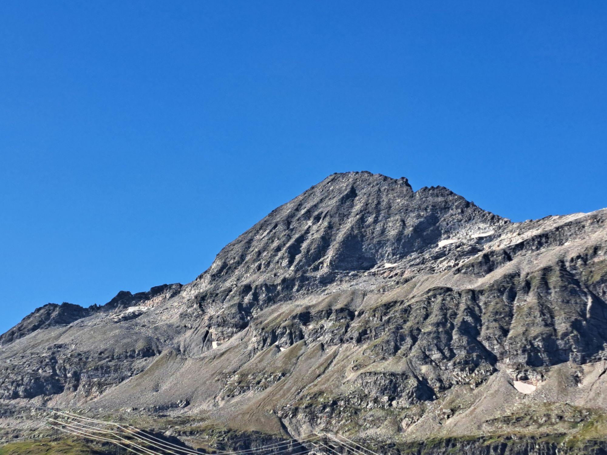
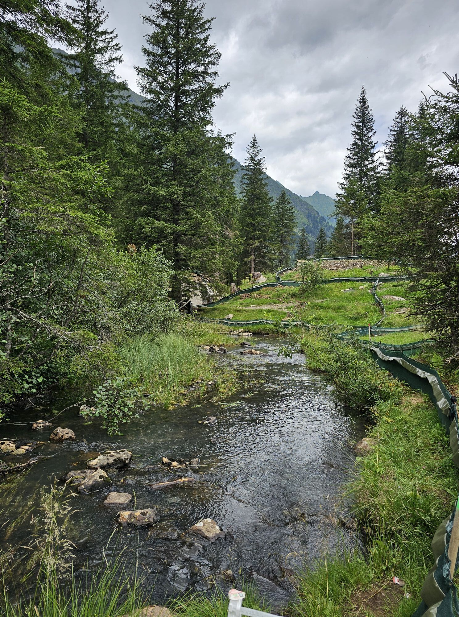
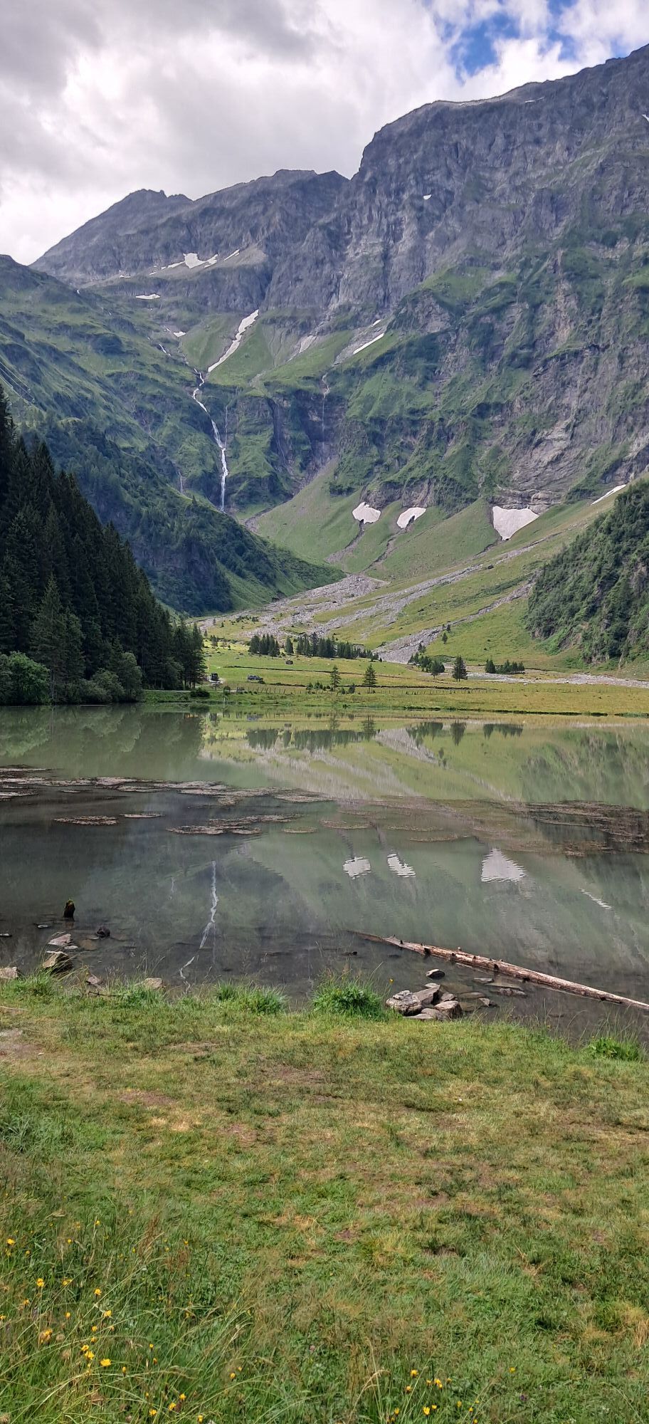
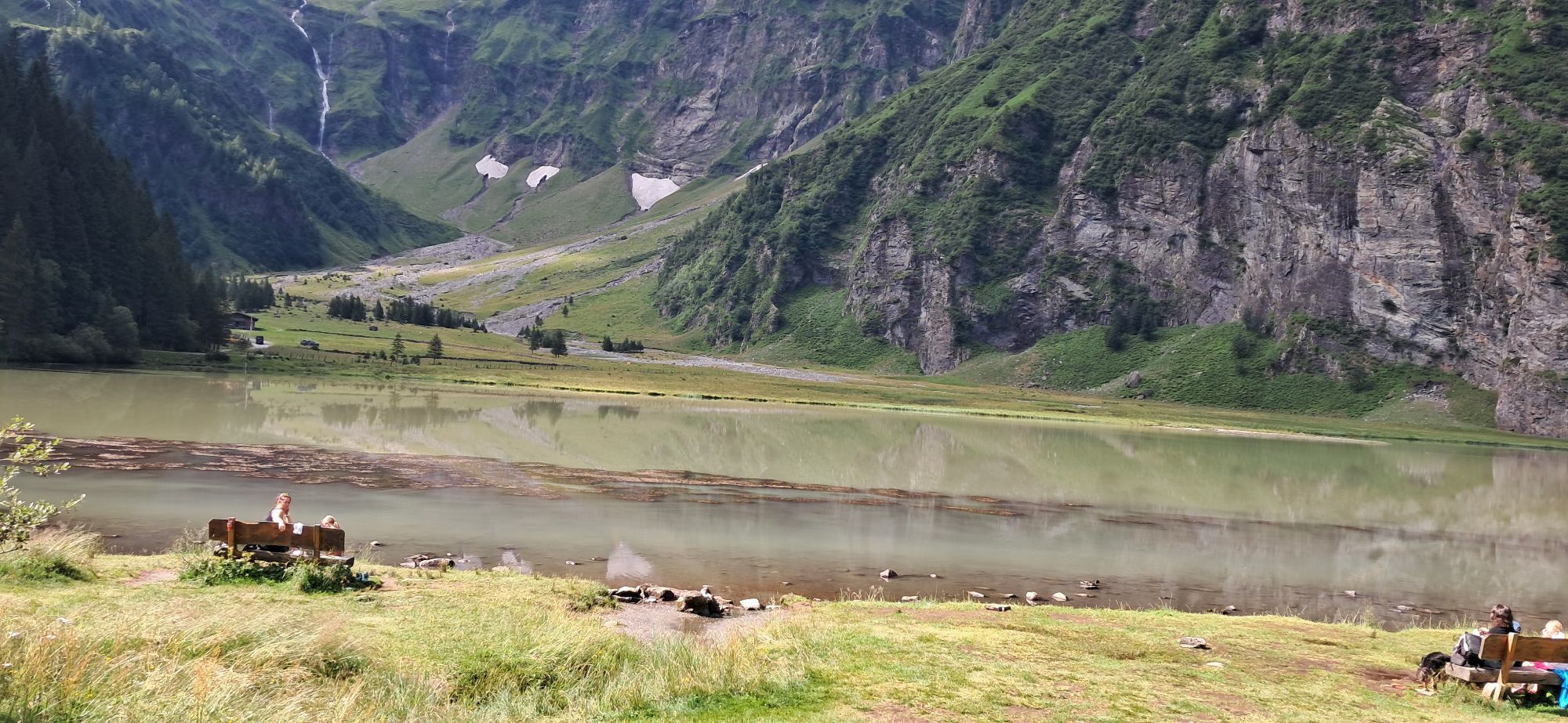
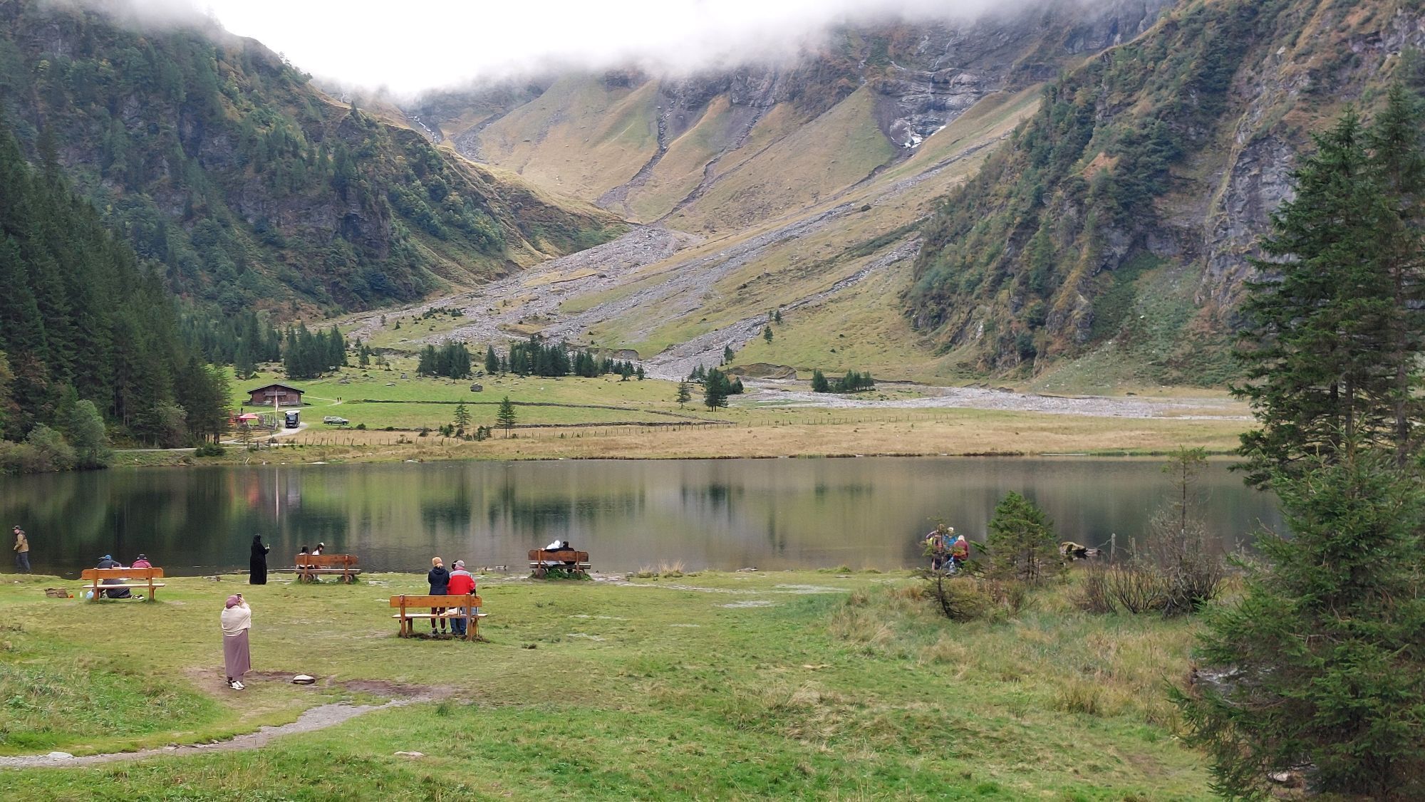
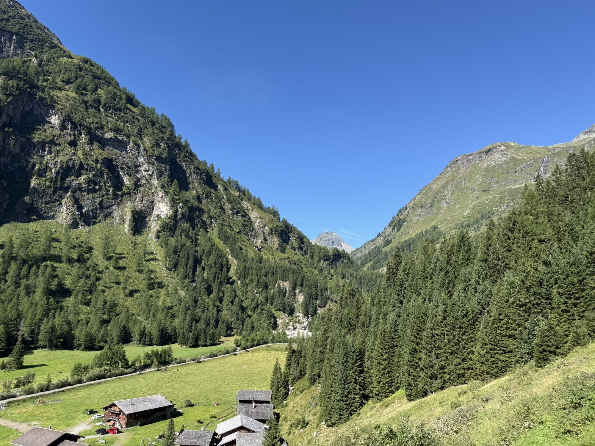
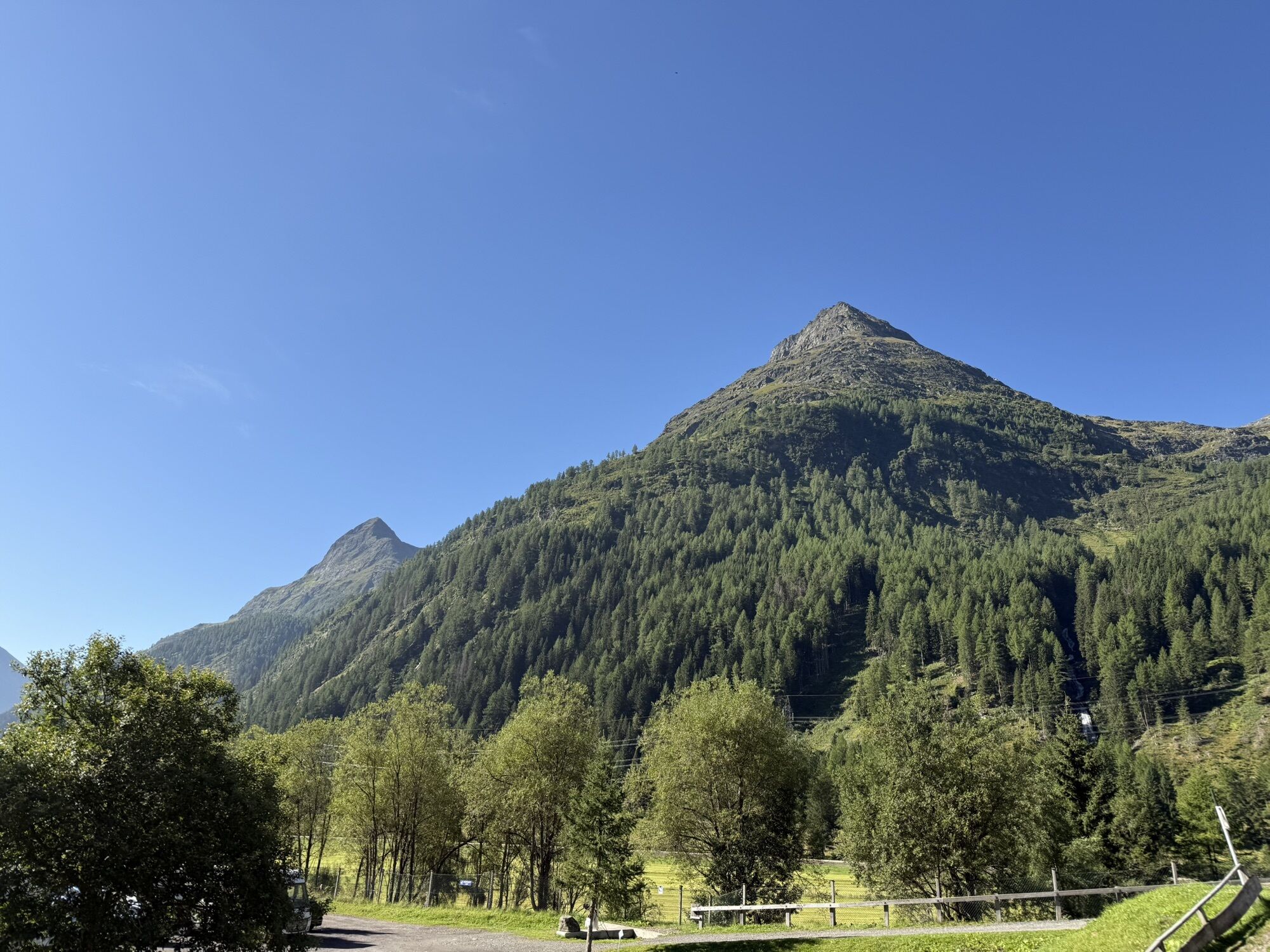
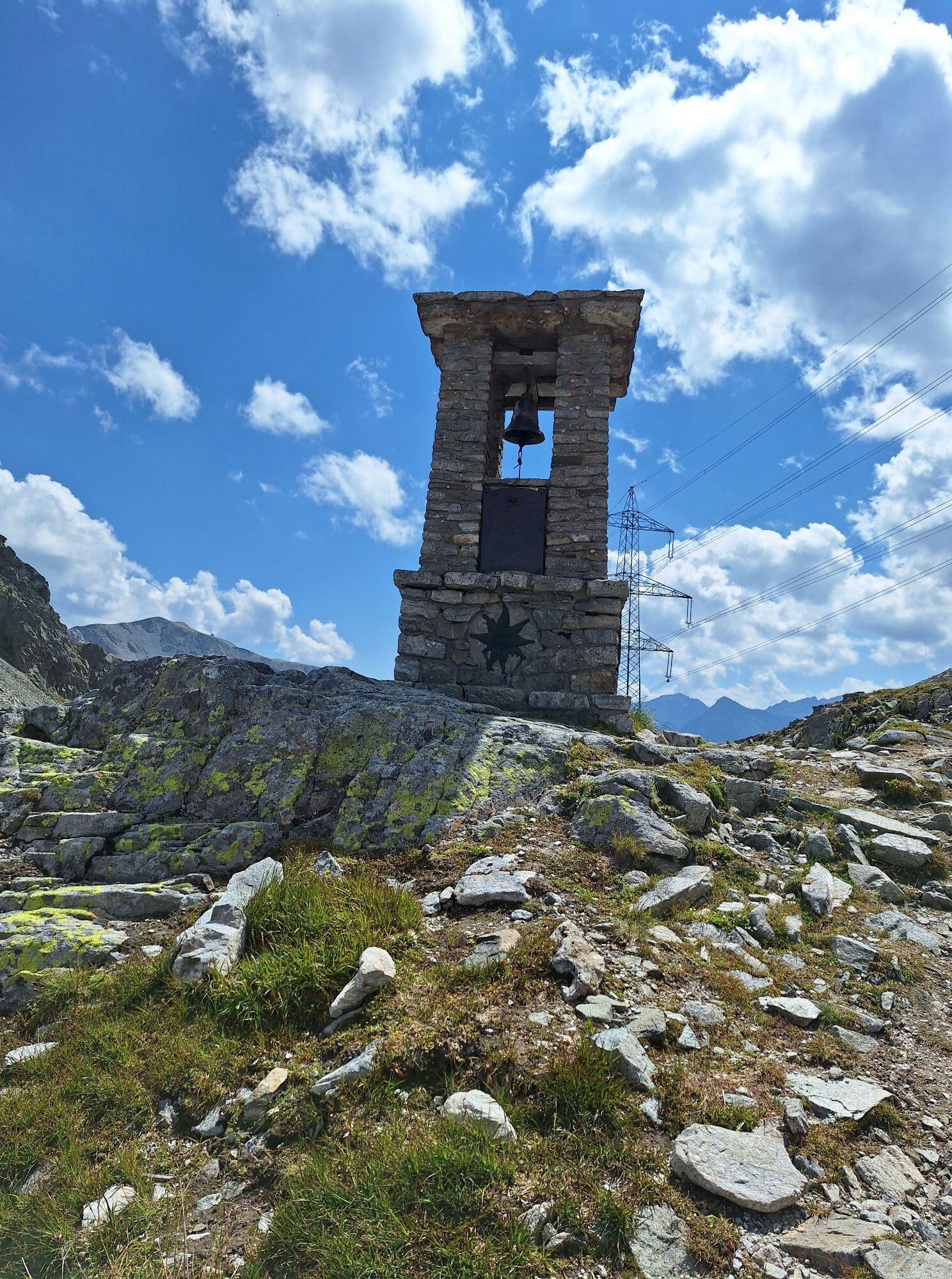
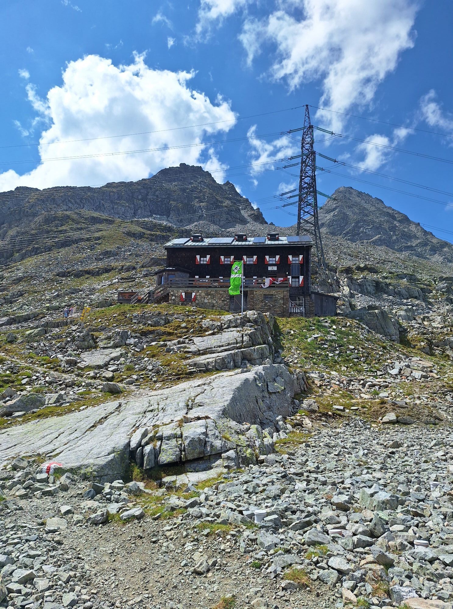
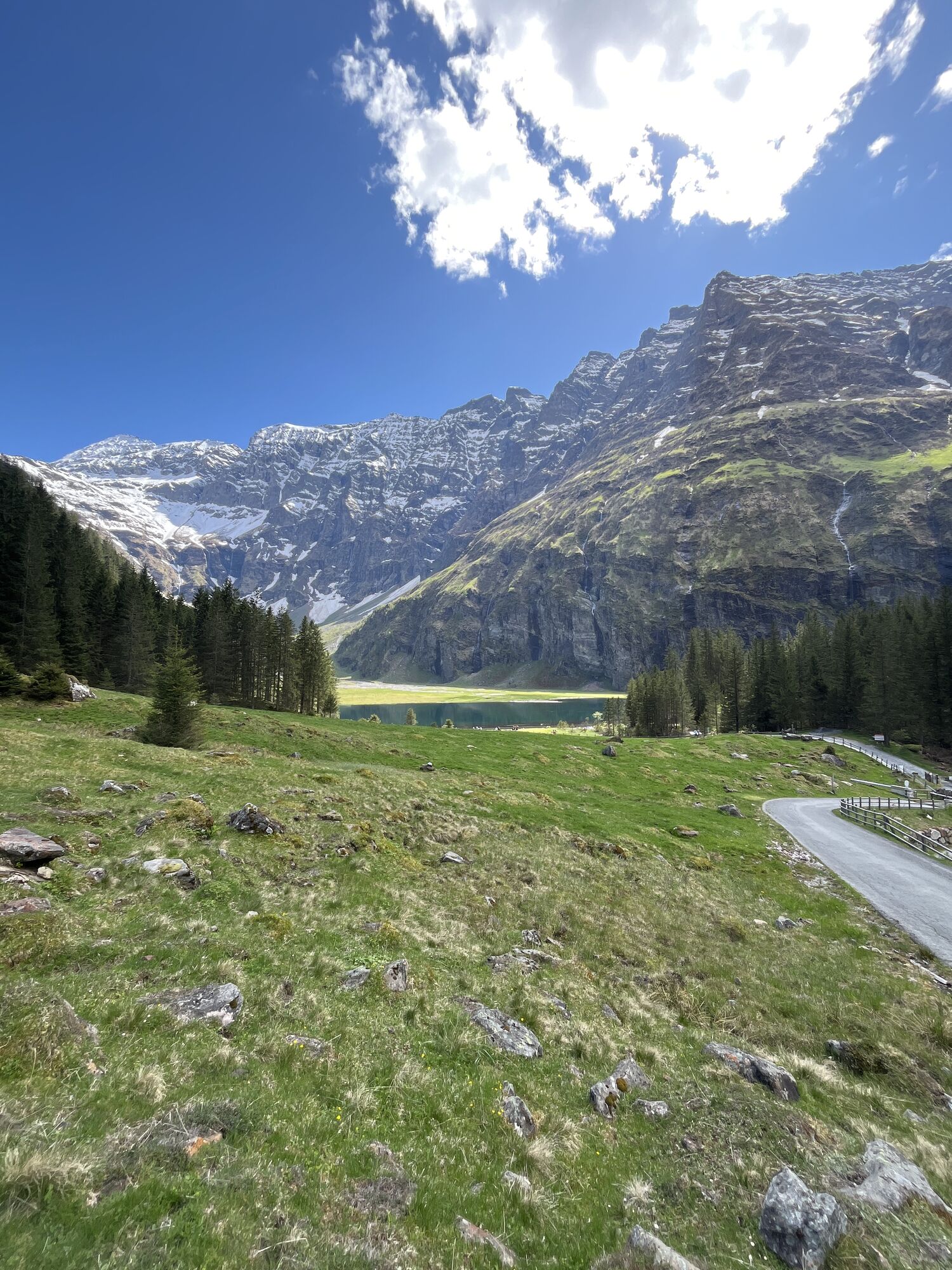
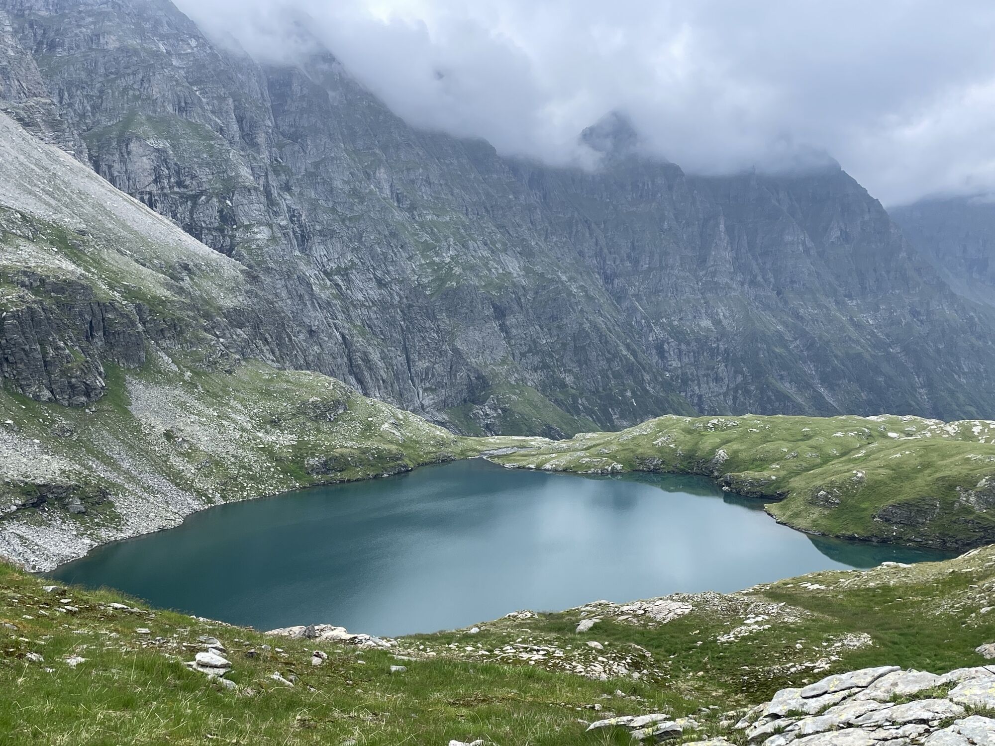
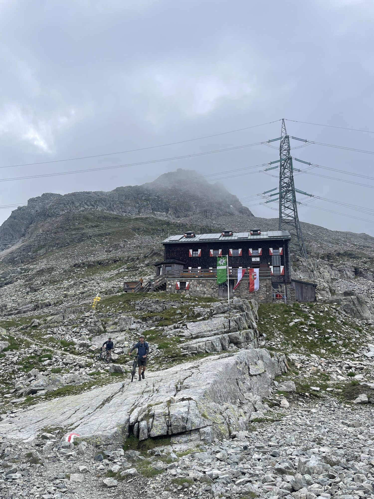
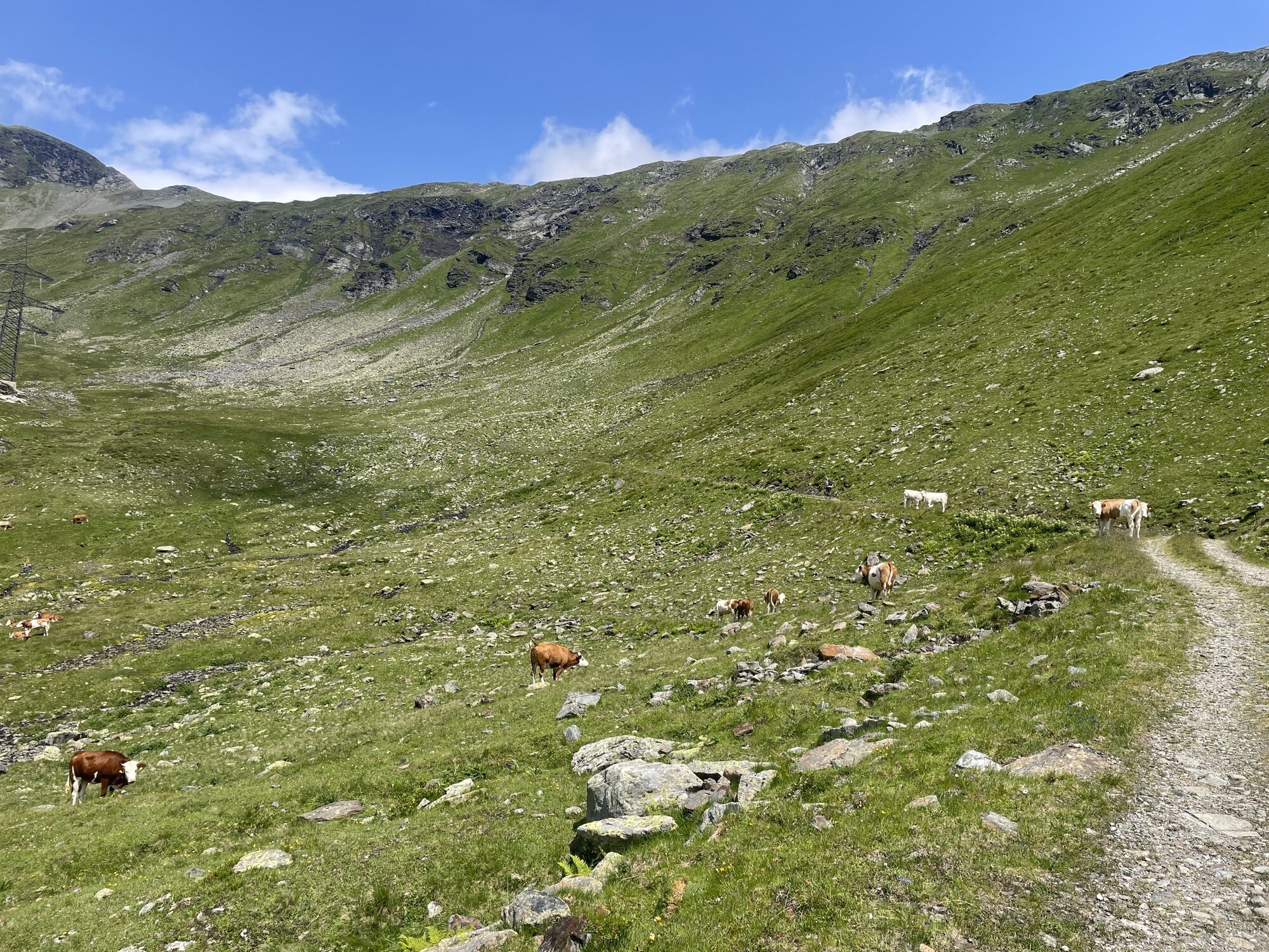
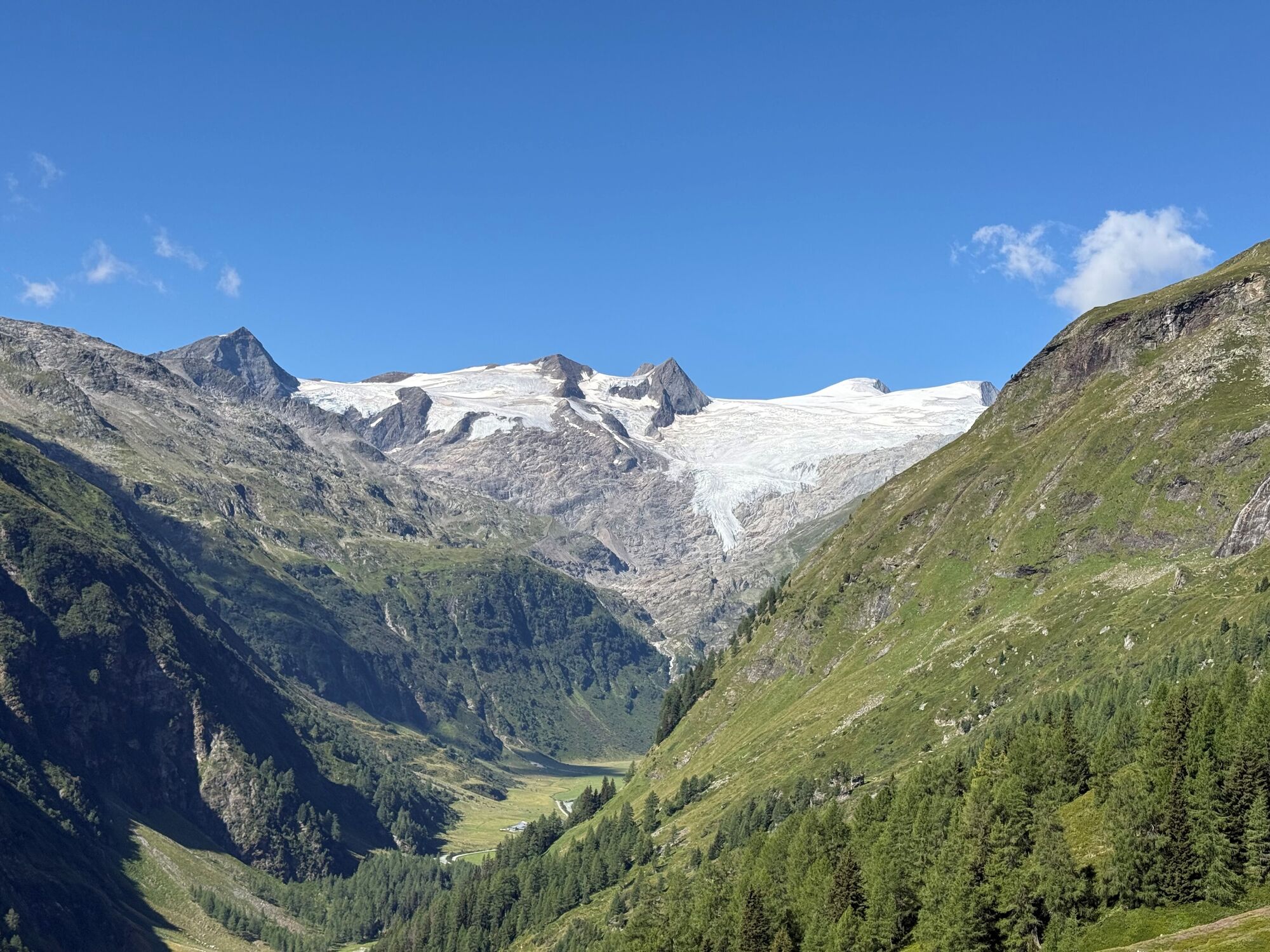
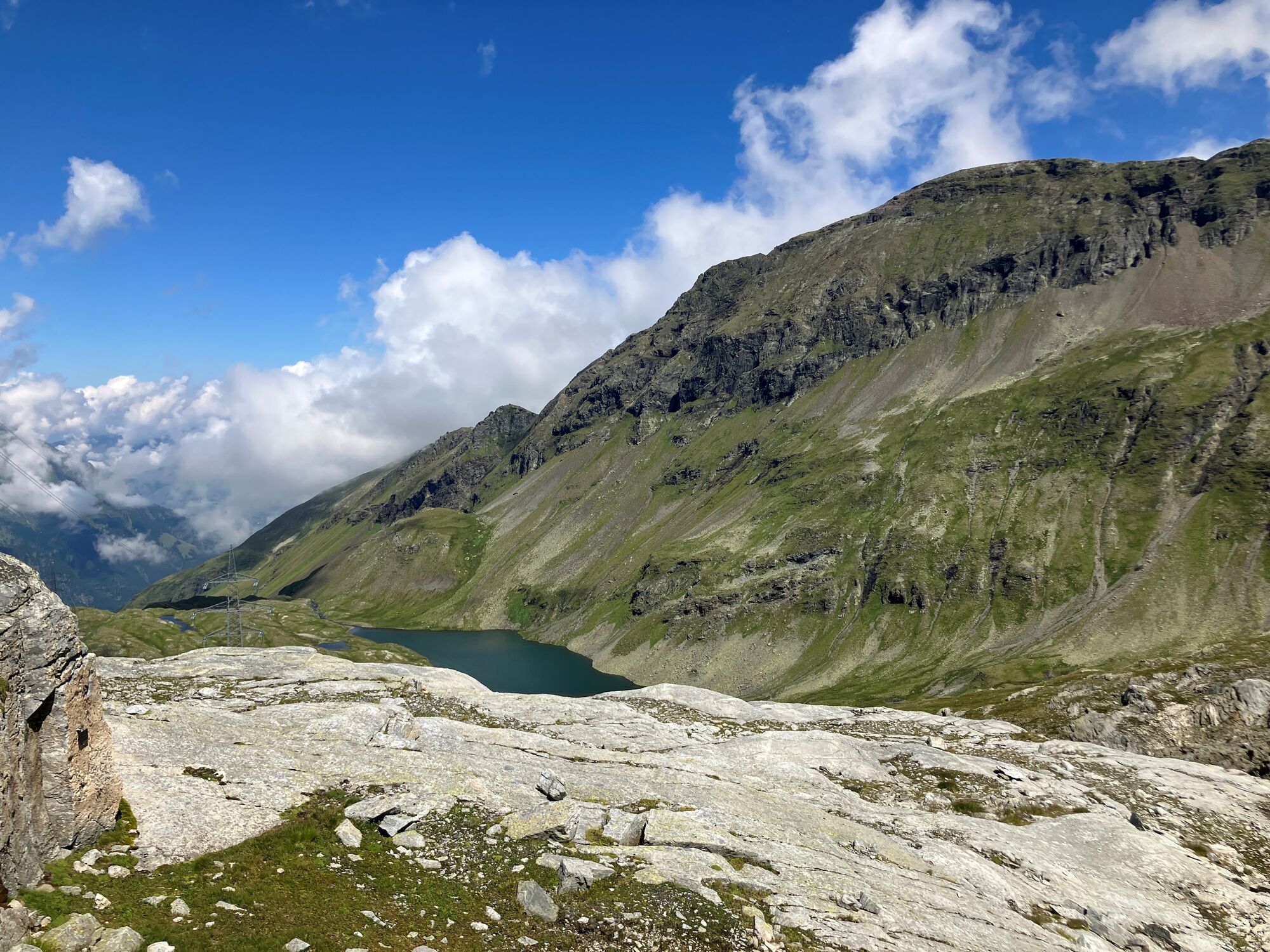
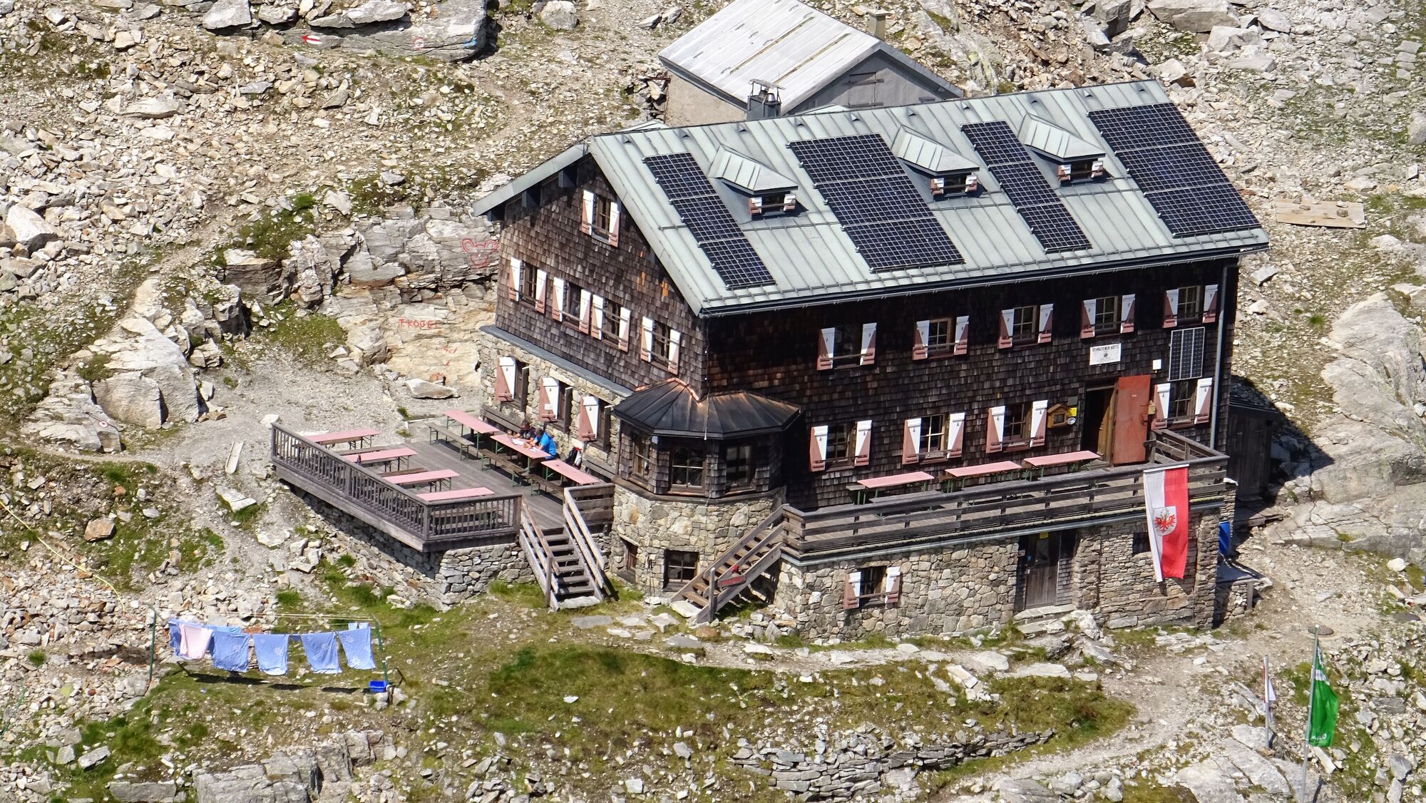
Through sparse forests, with impressive views of the Venedigermassiv and via the "Zirbenkreuz" viewpoint, you reach the St. Pöltner Hütte (2,480 m). After a cozy break, you descend via the scenic Alten Saumweg – accompanied by views of the majestic peaks of Hörndl, Hochgasser, and Tauernkogel. The path leads you across alpine meadows, past the dark green Plattachsee and other mountain lakes. At the junction, keep right and follow trail no. 917. Continuing further down the valley, you finally reach the Hintersee in the Felbertal.


By car from Matrei im O. towards Felbertauern; turn left before the south portal towards the Matreier Tauernhaus car park. By bus no. 955 to the Matreier Tauernhaus stop.
Bus stop Matreier Tauernhaus
Car park Matreier Tauernhaus
Oblíbené prohlídky v okolí
- 4.2
Gletscherlehrweg Innergschlöß
středníTuristika 9.36 km - 3.7
Smaragdwanderweg Habachtal/Bramberg
světloTuristika 7.17 km - 3.9
Mittersill - Hintersee und Plattachsee
heavyTuristika 9.90 km - 4.7
Hollersbach - Neue Fürther Hütte
Turistika 16.0 km - 4.6
Vom Matreier Tauernhaus über die Felsenkapelle nach Innergschlöss
světloTuristika 9.19 km - 4.5
Runde um den Weißsee - Gletscherlehrpfad Uttendorf, Österreich
středníTuristika 6.48 km - 4.2
Habachtal bis zur Thüringer Hütte
Turistika 6.53 km - 3.9
Hollersbach: Pihapper path no. 935
heavyTuristika 12.8 km - 4.1
Via the Schösswendklamm to Hintersee
středníTuristika 8.29 km - 4.9
Matreier Tauernhaus - Gletscherweg- Venedigerhaus Innergschlöss
středníTuristika 13.3 km
Pěší turistika a stopování


Nenechte si ujít nabídky a inspiraci pro vaši příští dovolenou
Vaše e-mailová adresa byl přidán do poštovního seznamu.





