





Obergurgl - Sahne Stüberl
Úroveň obtížnosti: T1
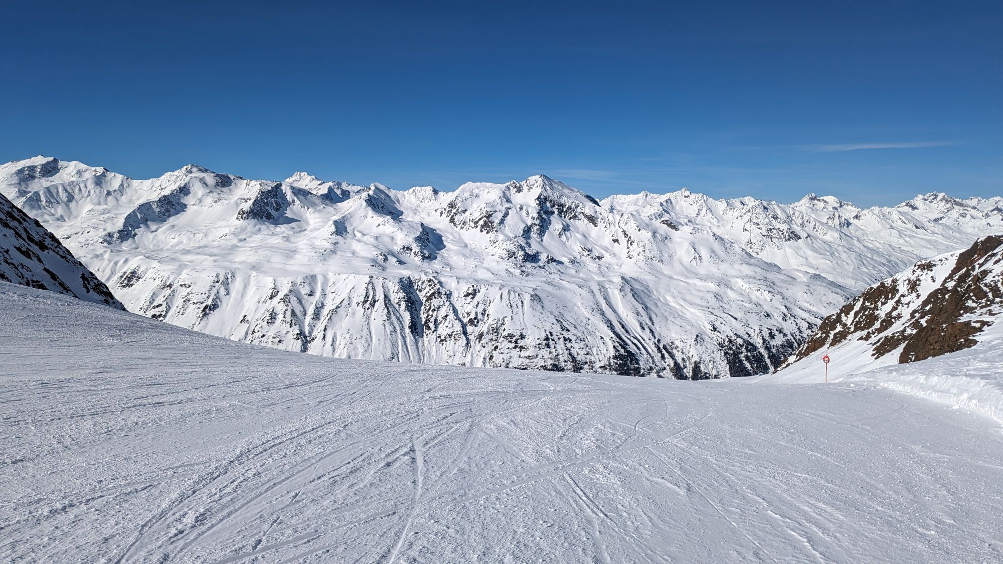
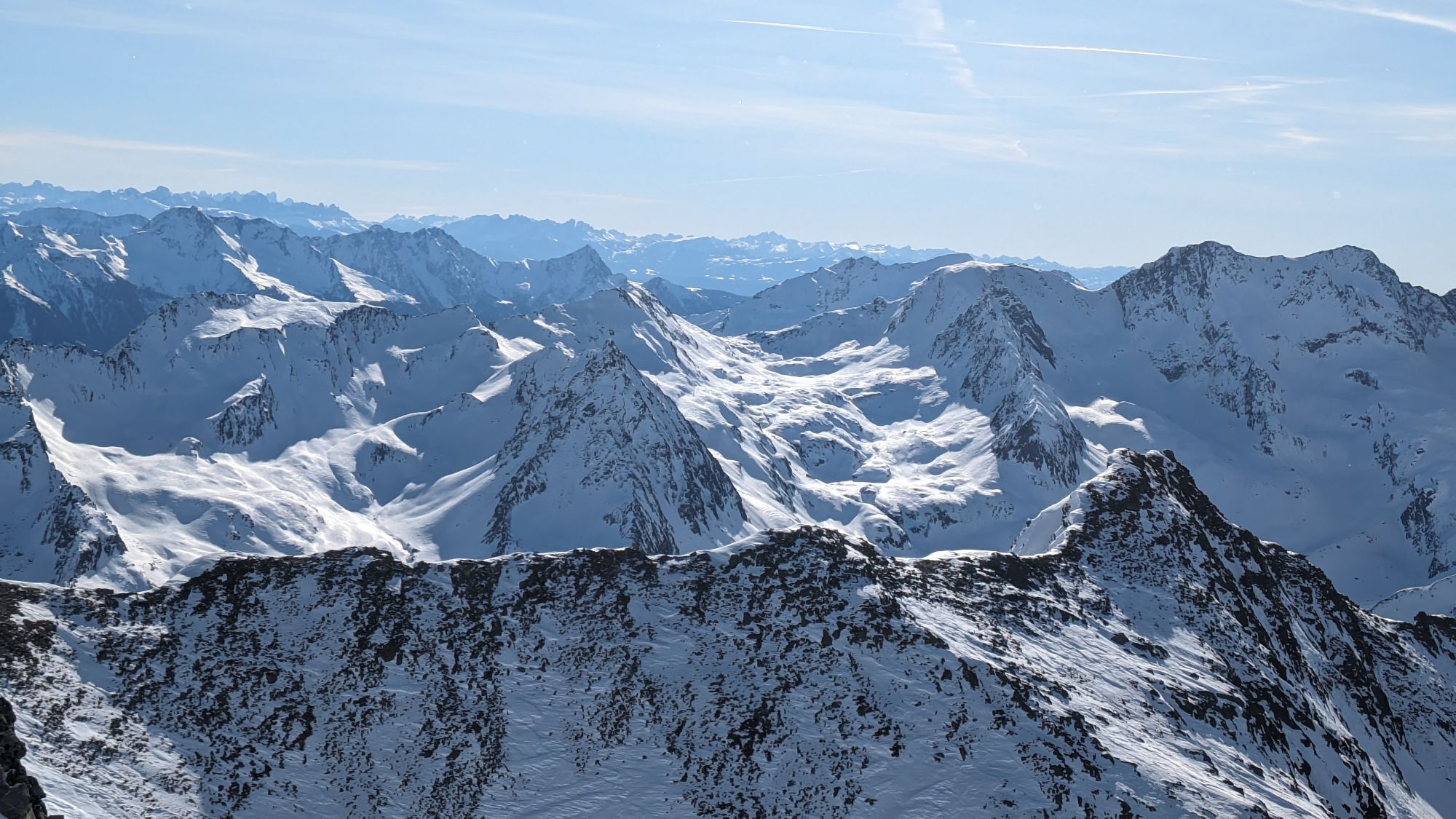
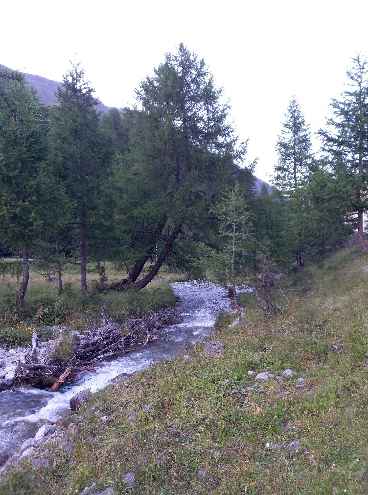
From the Festkoglbahn over the Ferwall bridge, gently descending along the alpine rose slopes to the hamlet of Königsrain. Just before, cross the street and take the path down to the Ötztaler Ache, continue...
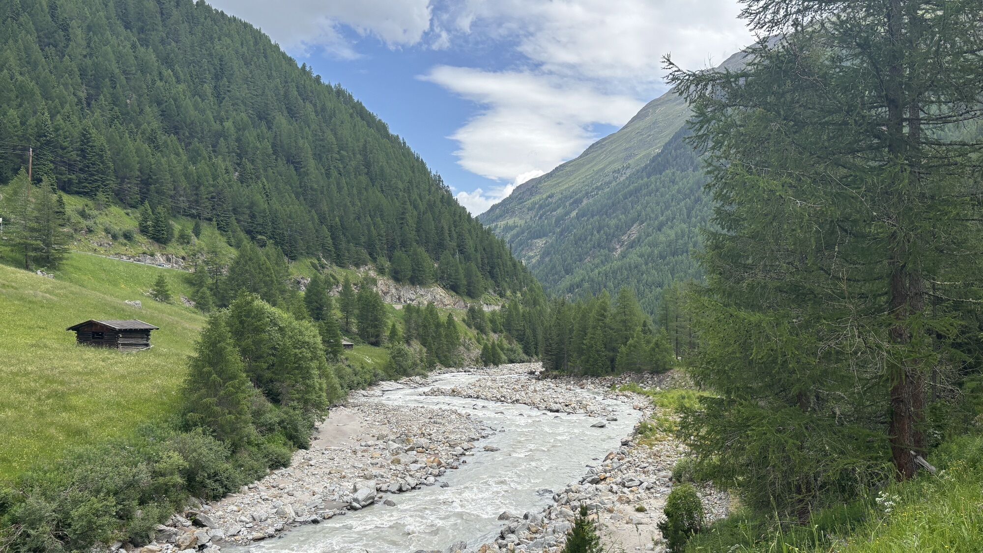
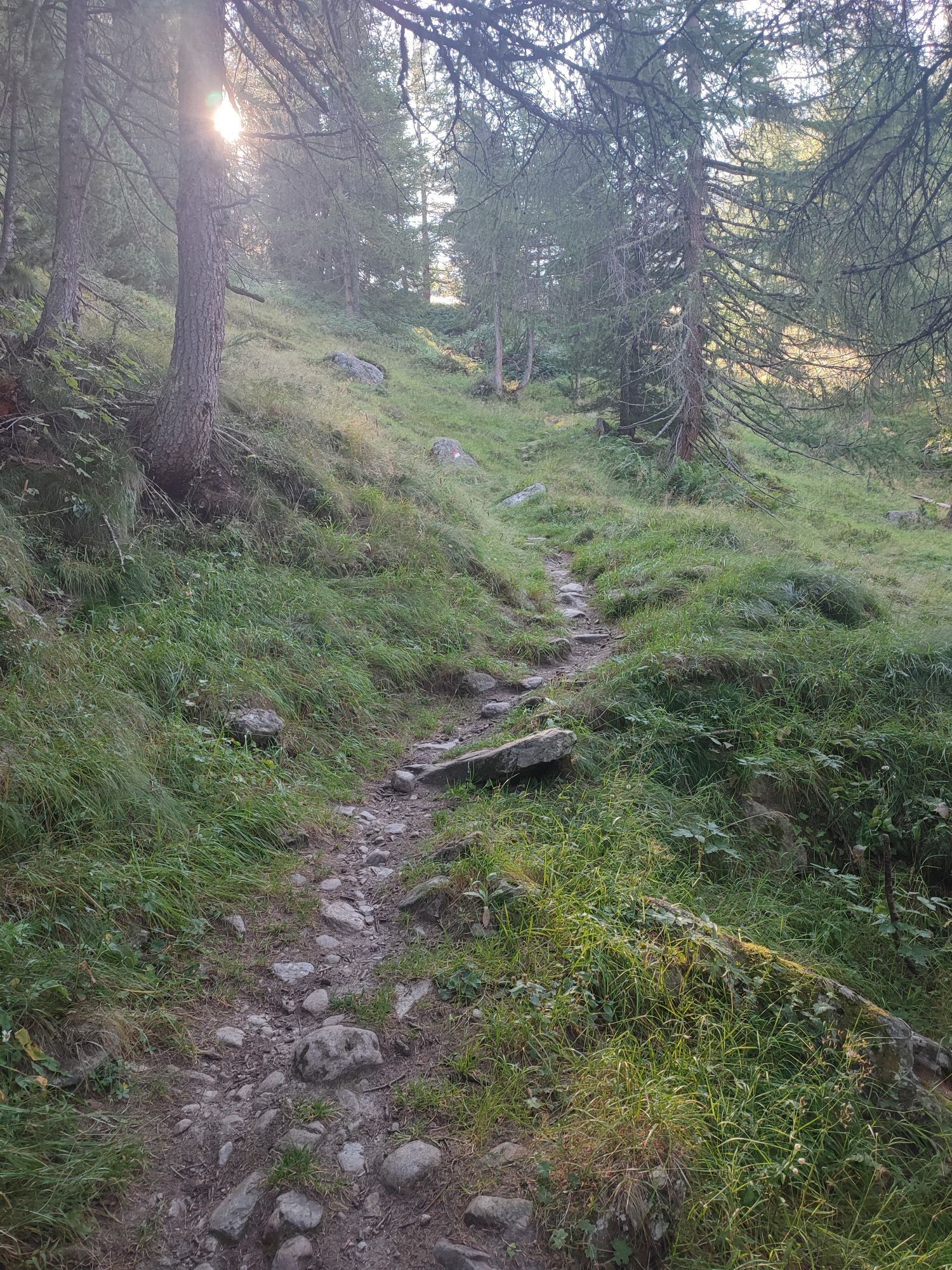
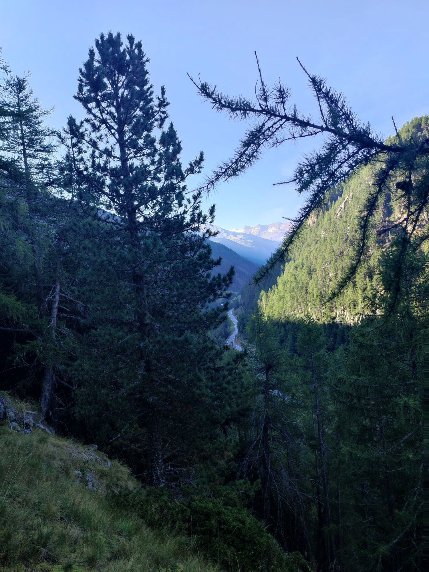
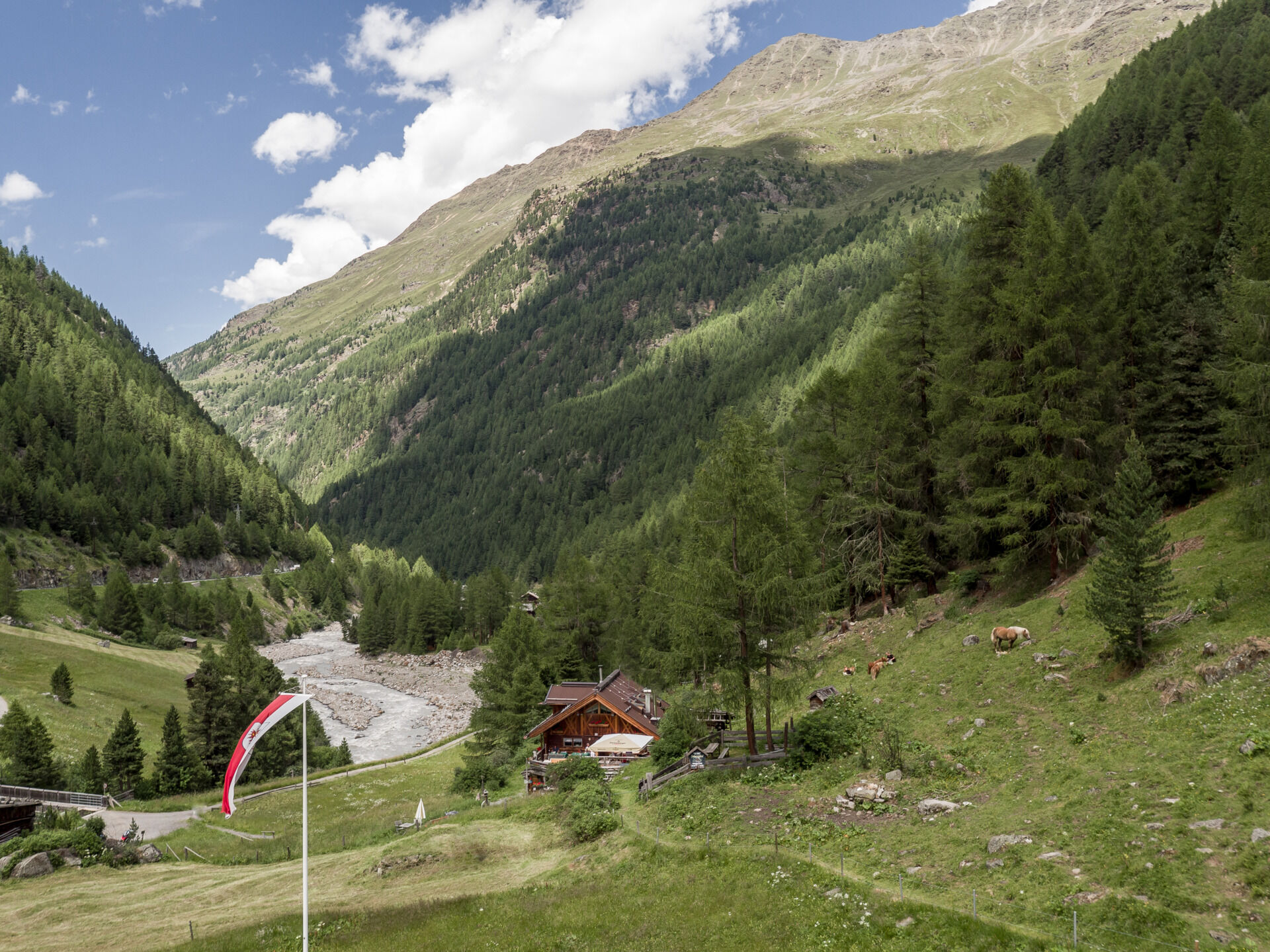
From the Festkoglbahn over the Ferwall bridge, gently descending along the alpine rose slopes to the hamlet of Königsrain. Just before, cross the street and take the path down to the Ötztaler Ache, continue over the Königsbach and to the old mill. Ascending to the right, cross the state road and go up opposite to the old country house. The shady, fairly level forest path leads above the districts Angern and Pill on the right side of the valley to the romantic Pillersee. he path continues over the Hohe Brücke bridge to the other side of the Gurgler Ache river. Ascend to the left along the galleries until you reach a descent via the galleries. Cross the Gurgler Ache again via a bridge, and soon the Sahne Stüberl will be visible.


From the Festkoglbahn over the Ferwall bridge, gently descending along the alpine rose slopes to the hamlet of Königsrain. Just before, cross the street and take the path down to the Ötztaler Ache, continue over the Königsbach and to the old mill. Ascending to the right, cross the state road and go up opposite to the old country house. The shady, fairly level forest path leads above the districts Angern and Pill on the right side of the valley to the romantic Pillersee. he path continues over the Hohe Brücke bridge to the other side of the Gurgler Ache river. Ascend to the left along the galleries until you reach a descent via the galleries. Cross the Gurgler Ache again via a bridge, and soon the Sahne Stüberl will be visible.
Ano
Appropriate equipment such as breathable and weather-appropriate outdoor clothing, ankle-high hiking boots, wind, rain and sun protection, a hat, and possibly gloves, is required for all hikes and routes. It is necessary to carry a first-aid kit, a mobile phone, and possibly a hiking map, as well as sufficient provisions for hikes without catering options.
Good physical condition, mountain experience and mountain equipment (see under Equipment) necessary. Please check the current weather report at: https://www.oetztal.com/de/sommer.html
Driving to the ÖTZTAL. Located in Tyrol, the ÖTZTAL branches off to the south as the longest side valley of the Eastern Alps. Traveling by car takes visitors over the Inn valley to the valley entrance and further along the Ötztal. Besides the toll motorway, country roads can also be used. Your trip can be quickly and conveniently planned with the route planner: To the route planner: www.google.at/maps.
The current bus schedule is available at: http://fahrplan.vvt.at
The following parking options are available in Gurgl:
Parking garage village center Obergurgl (go down right in front of the church), paid | € 2.00 first hour, for every additional 1/2 hour € 1.00 up until max. € 16.00 for 24 hours
Parking garage village entrance – Festkoglbahn valley station, paid | € 6.00 from 8:00 am to 8:00 pm, € 10.00 from 8:00 pm to 8:00 am
Parking lot Hochgurglbahn valley station, free – no overnight parking
Parking lot Top Mountain Crosspoint, free
T1
More information about hiking in the Ötztal: www.oetztal.com/wandern
Webové kamery z prohlídky
-
Obergurgl
-
Hochgurgl
-
Obergurgl
-
Gaisberg
-
Top Mountain Crosspoint Hochgurgl
-
Top Mountain Crosspoint Hochgurgl
-
Top Mountain Crosspoint Hochgurgl
-
Top Mountain Crosspoint Hochgurgl
-
Top Mountain Crosspoint Hochgurgl
-
Obergurgl
-
Obergurgl
-
Obergurgl
-
Obergurgl
-
Obergurgl
-
Obergurgl
-
Obergurgl - Hotel Edelweiß
-
Top Mountain Crosspoint Hochgurgl
Získejte přehled
Vždy živě na místě s více než 9 500 webkamerami. bergfex Jako uživatel Pro si nyní můžete zobrazit odpovídající webové kamery pro mnoho prohlídek v aplikaci prohlídky z. Můžete si tak přímo prohlédnout aktuální podmínky.
Oblíbené prohlídky v okolí
-
4.7
Vent - Kreuzspitze
Turistika 20.6 km -
4.6
Passerschlucht
světloTuristika 8.84 km -
4.4
Passerschlucht mit Stieber Wasserfällen, Trentino-Südtirol/Italien
středníTuristika 9.49 km -
4.4
Hochtour Wildspitze, 3.768m
středníVysokohorská turistika 9.75 km -
4.4
Vent - Wilder Mann - Breslauer Hütte - Stableinalm
středníTuristika 7.25 km -
3.8
Breslauer Hut
středníTuristika 4.75 km -
3.1
Tiefenbachglacier - Mountaineering Village Vent
středníTuristika 10.8 km -
4.4
Hochwilde - Pfelders
středníVysokohorská turistika 22.1 km -
4.8
Seeber-See Rundweg
světloHorská turistika 7.96 km -
5.0
Obergurgl - Ramolhaus
Turistika 7 km
Pěší turistika a stopování


Nenechte si ujít nabídky a inspiraci pro vaši příští dovolenou
Vaše e-mailová adresa byl přidán do poštovního seznamu.





