







Wimmertal - Nr. 6

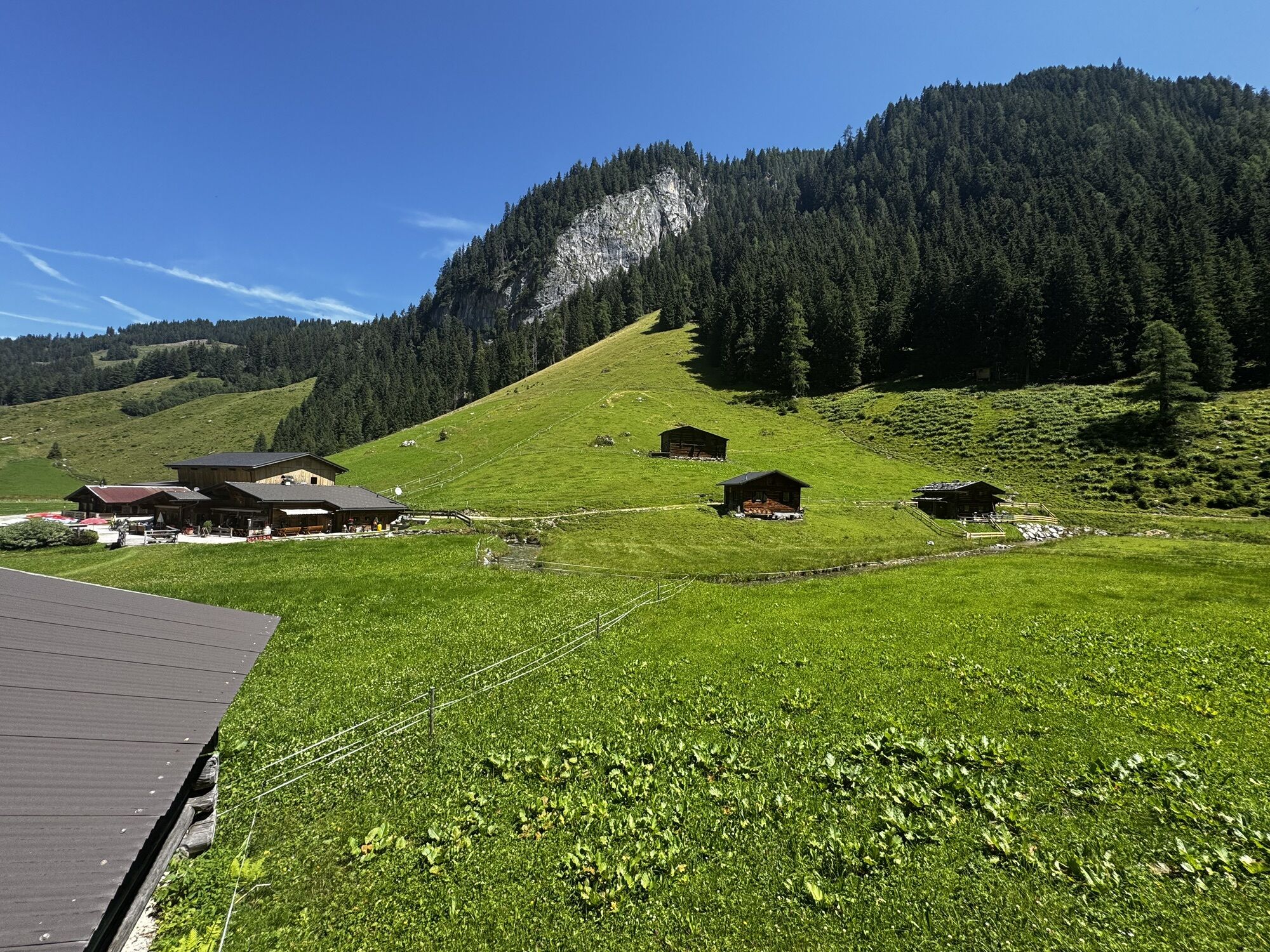
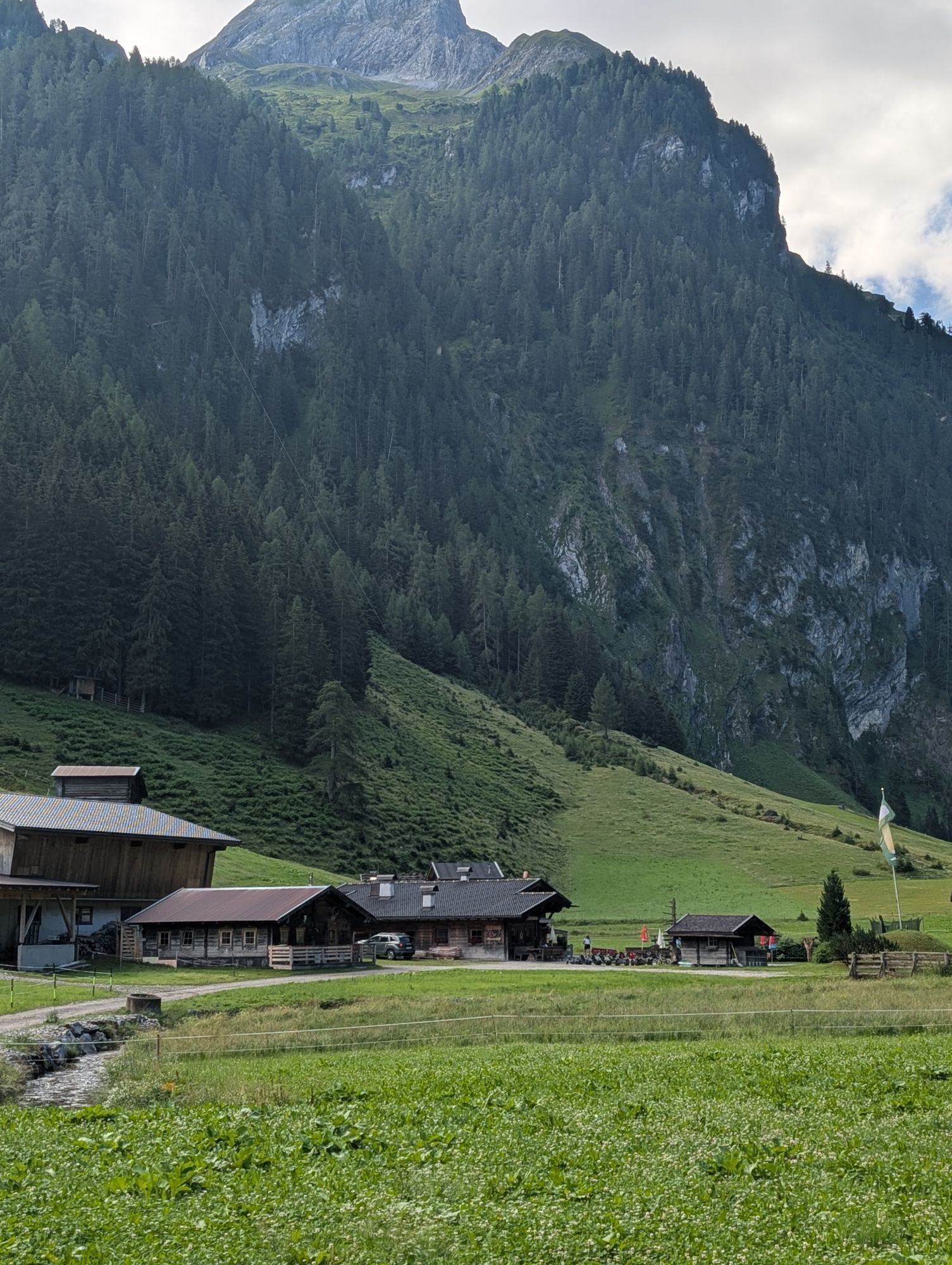
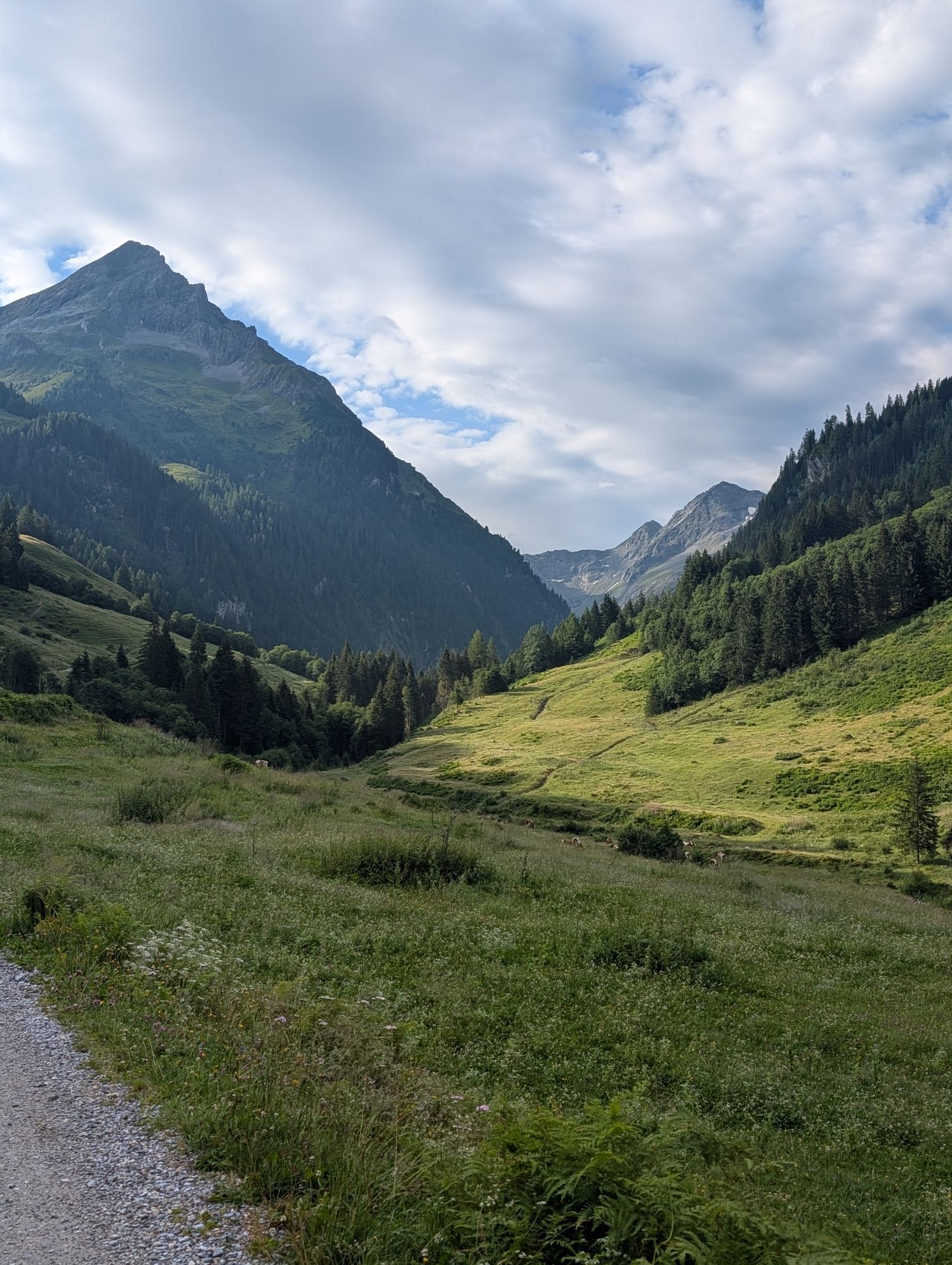
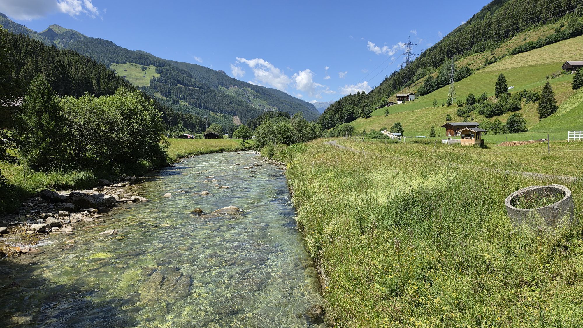

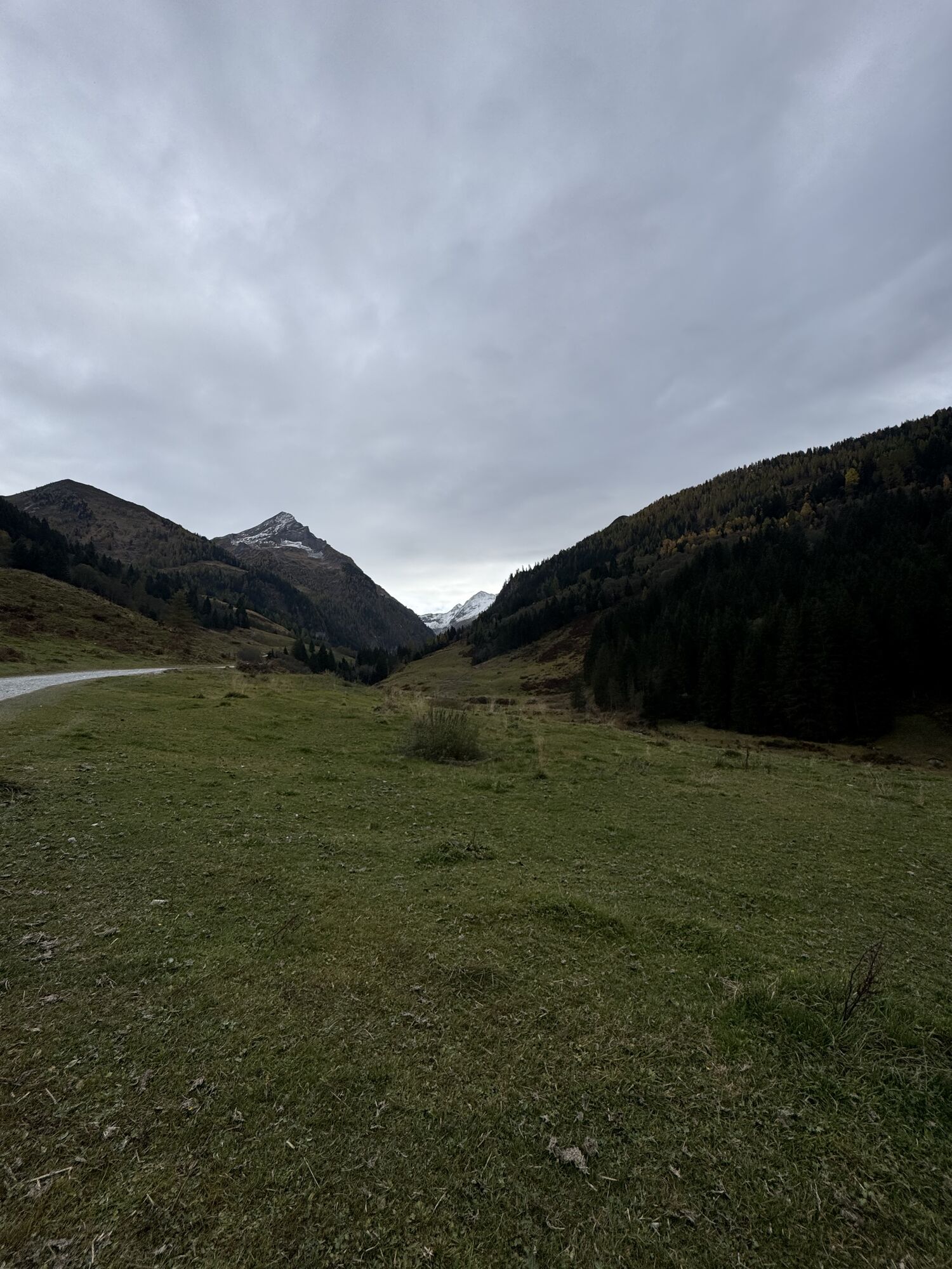
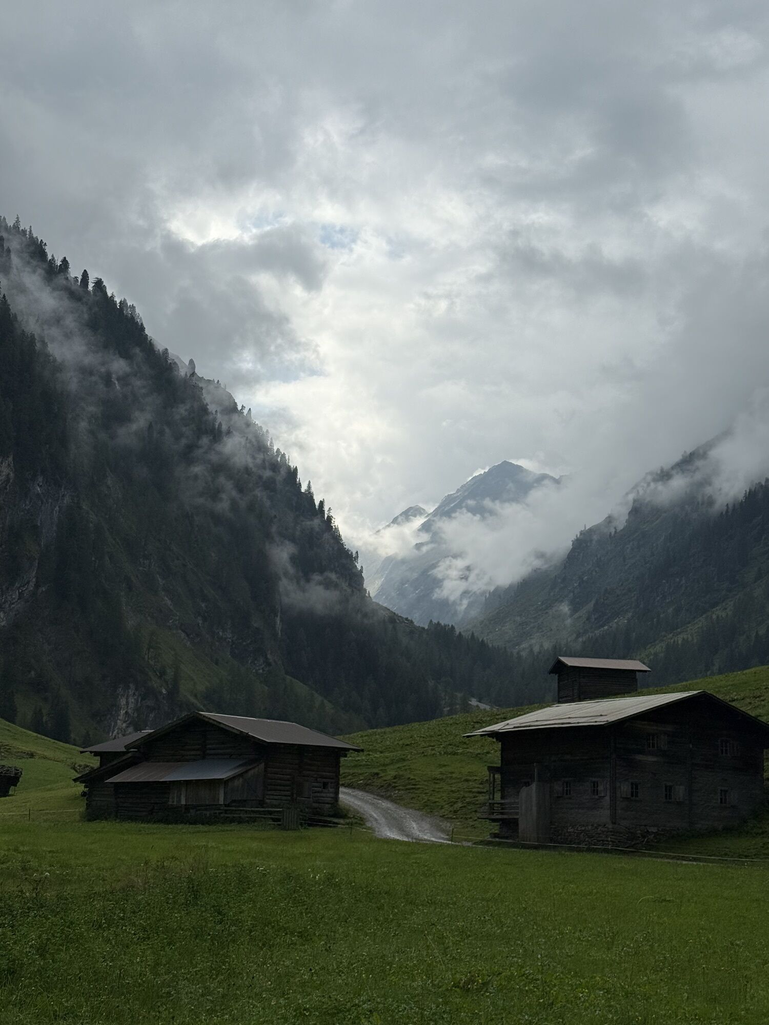
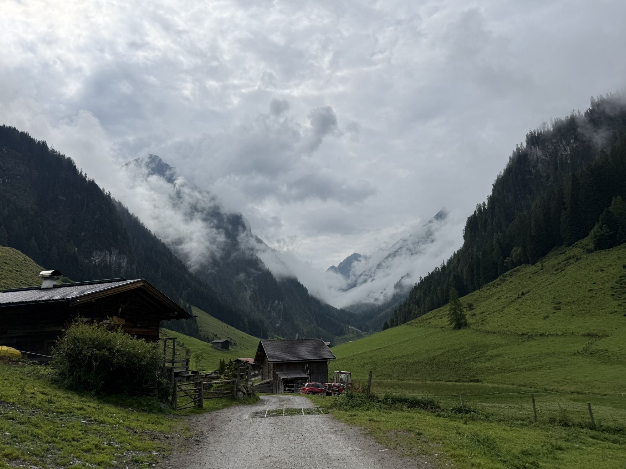
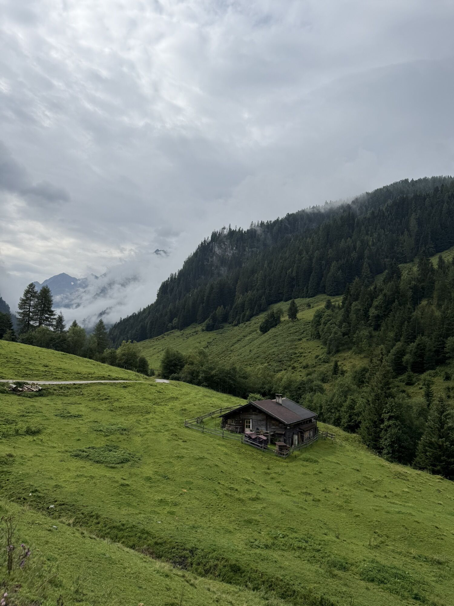
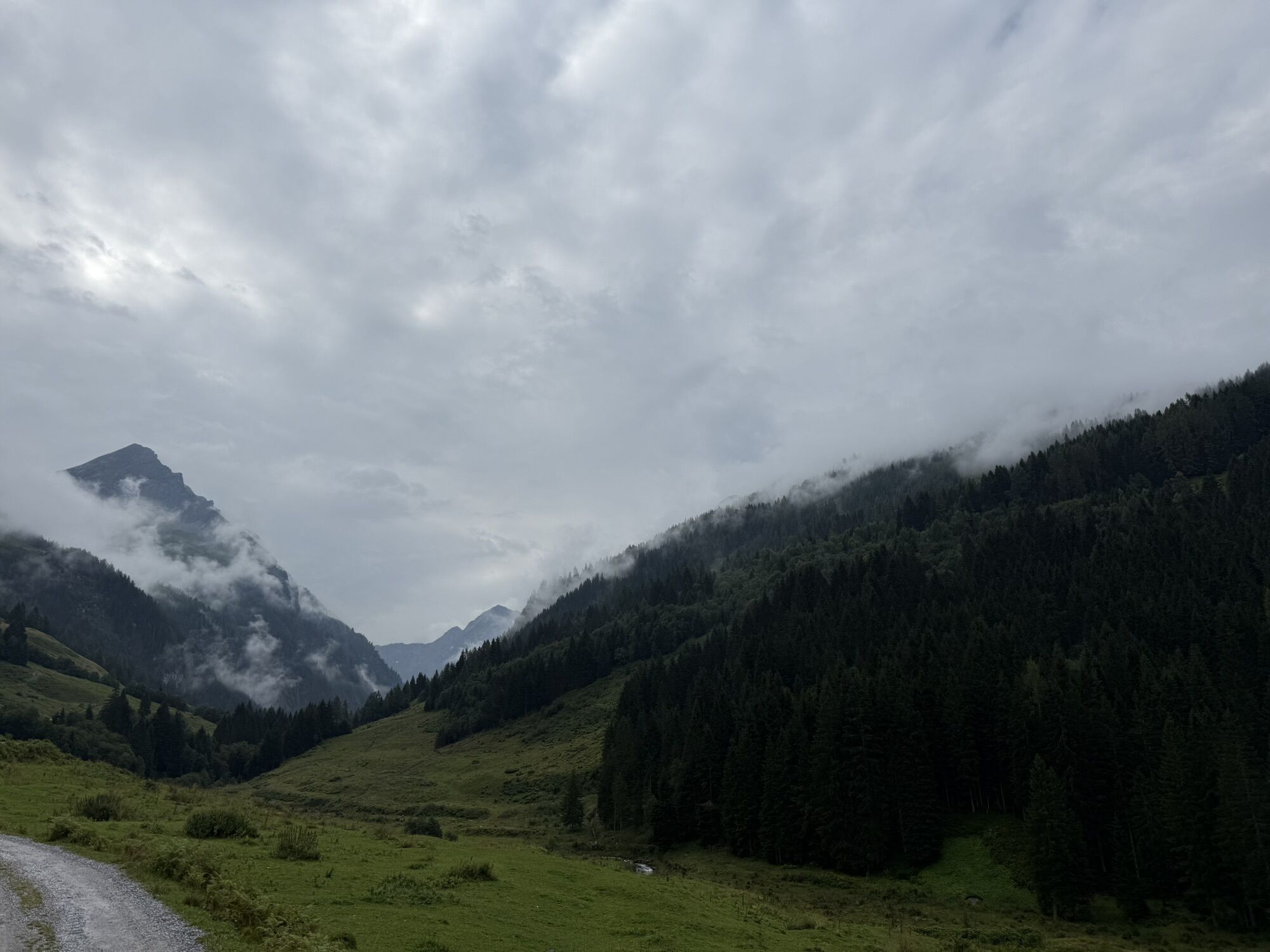
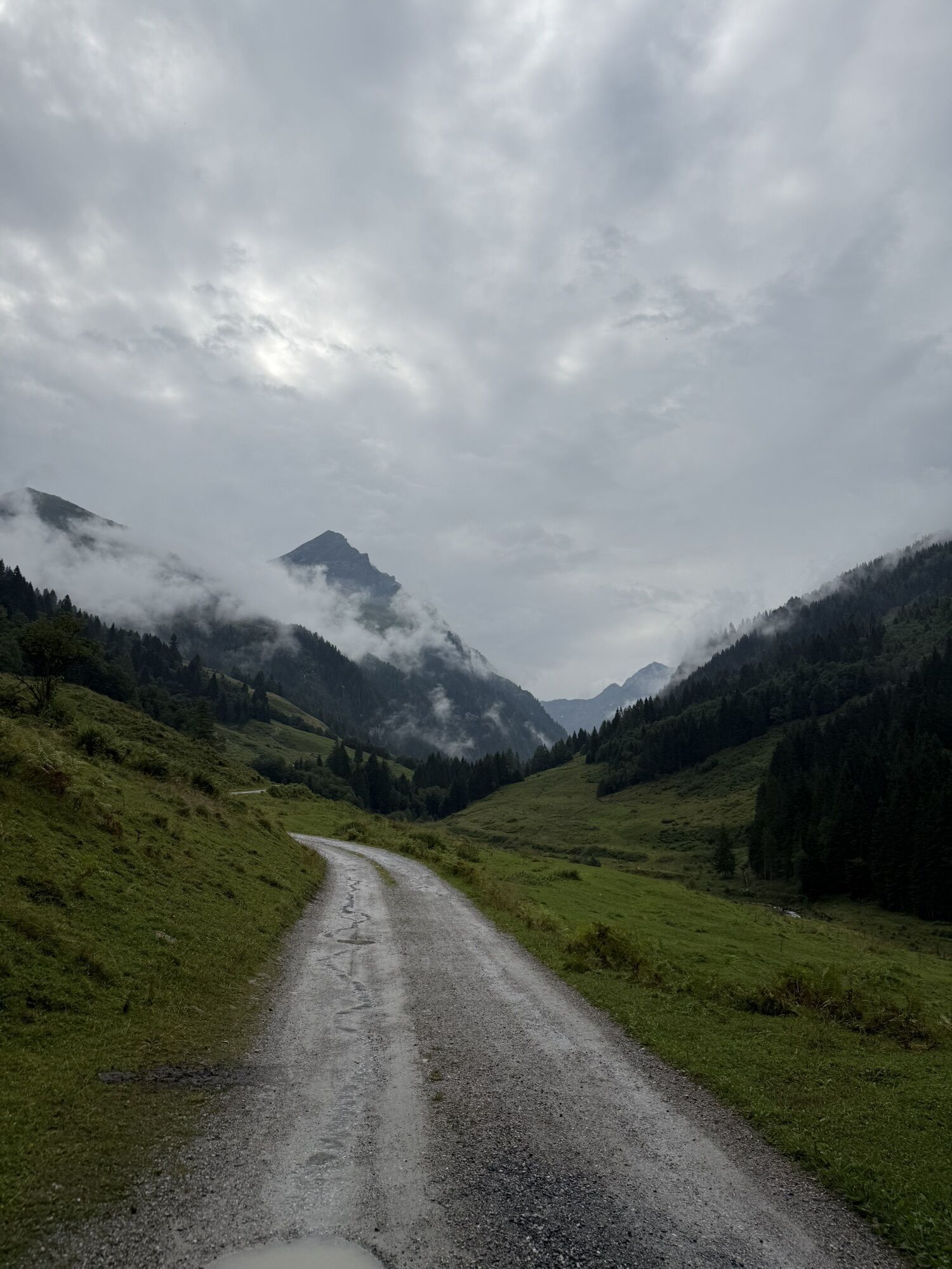
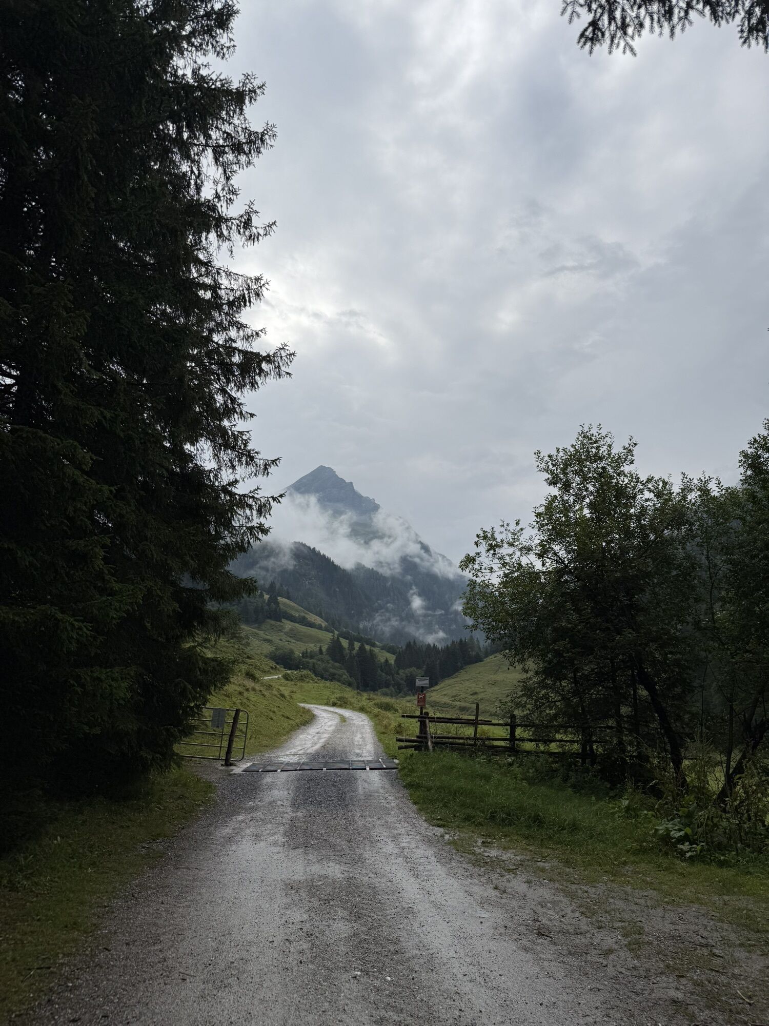
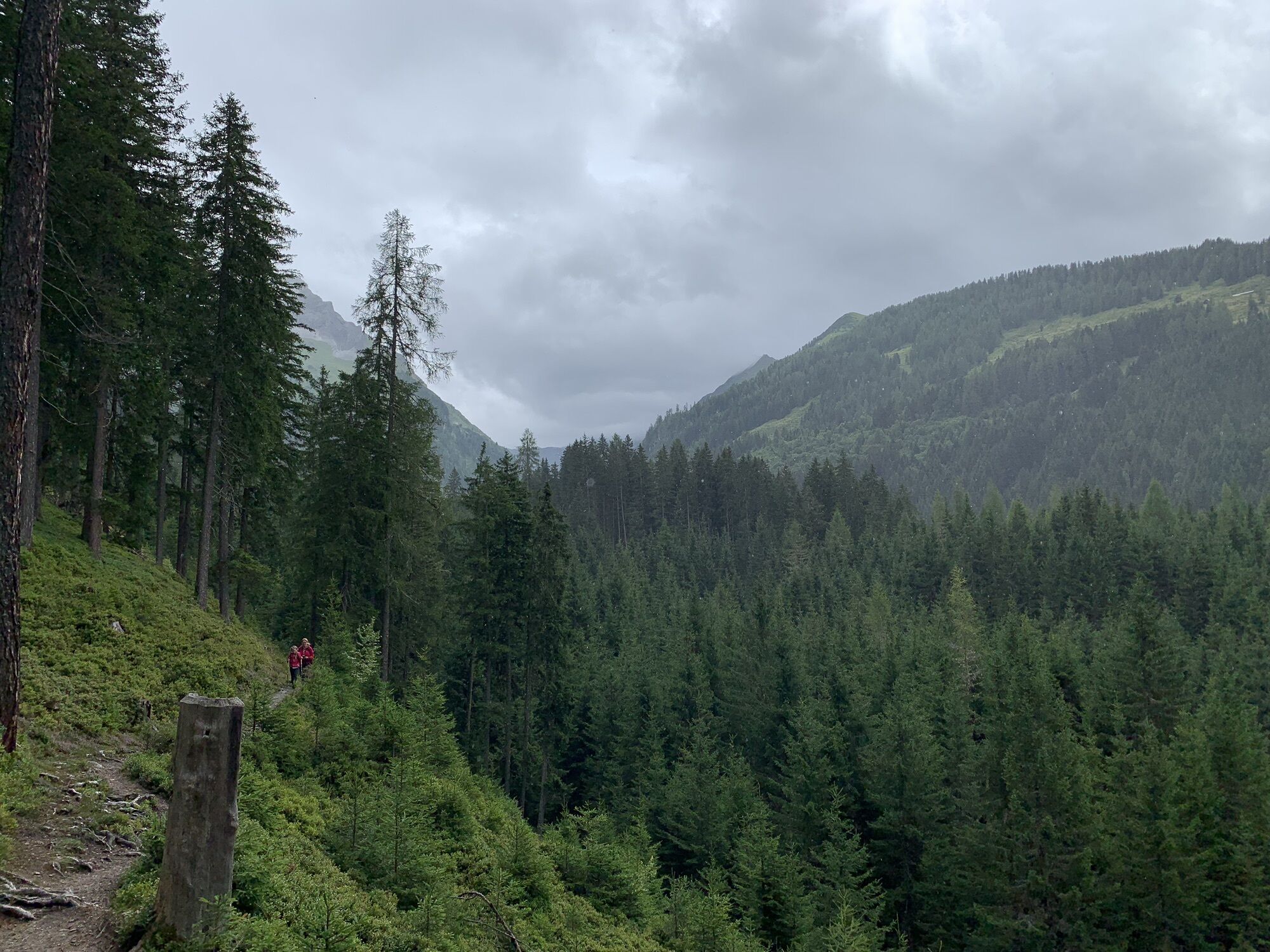
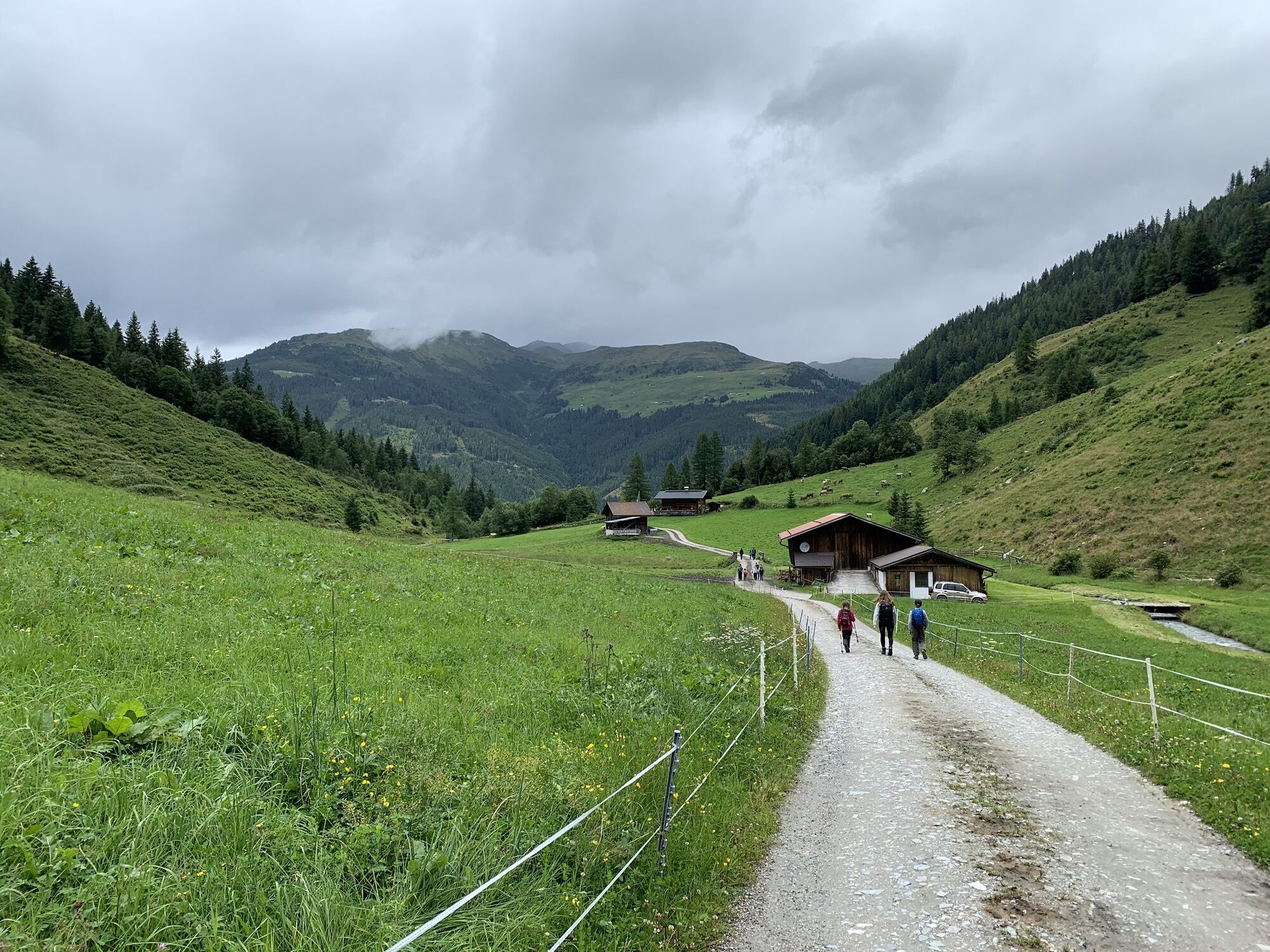
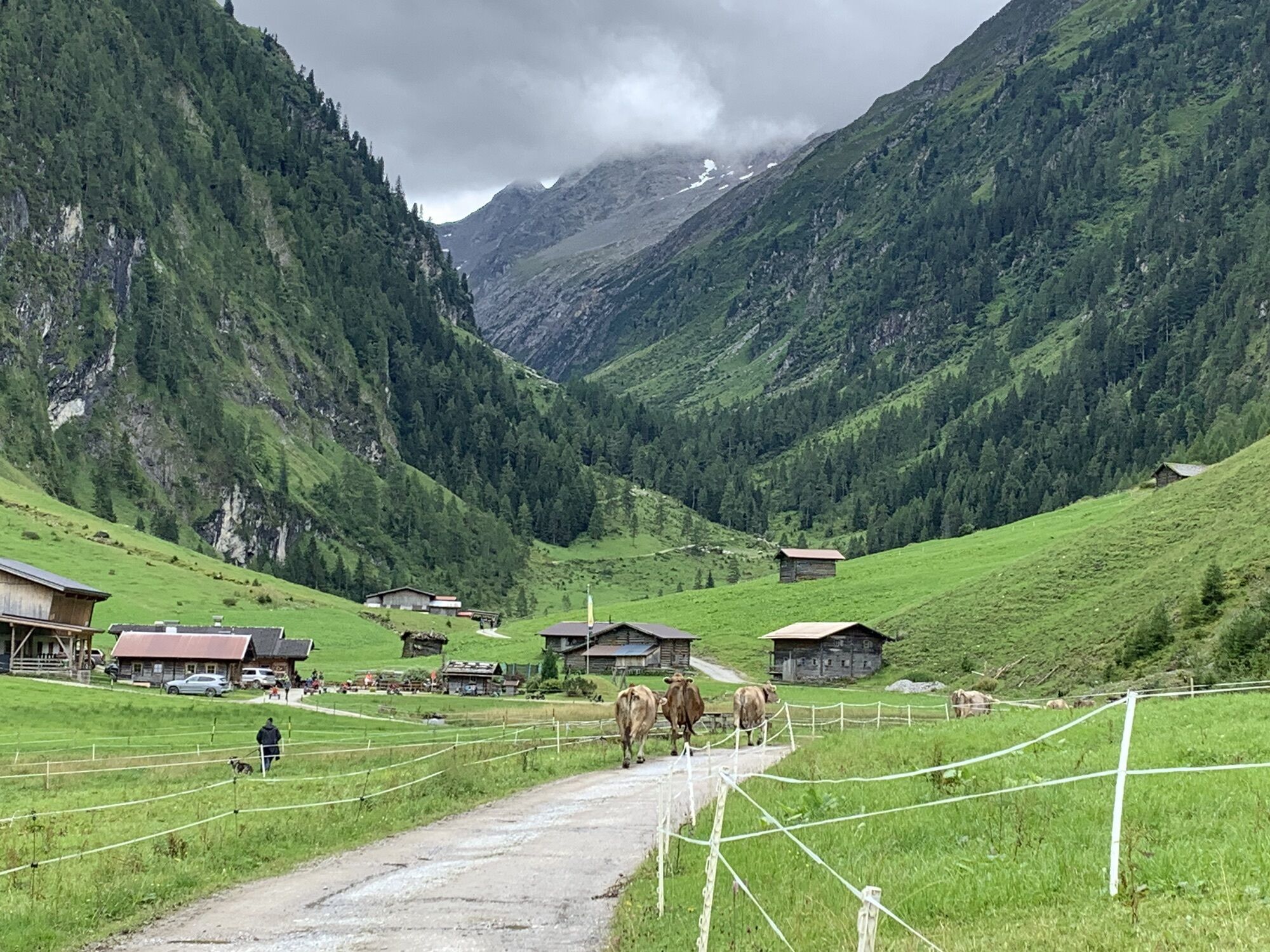
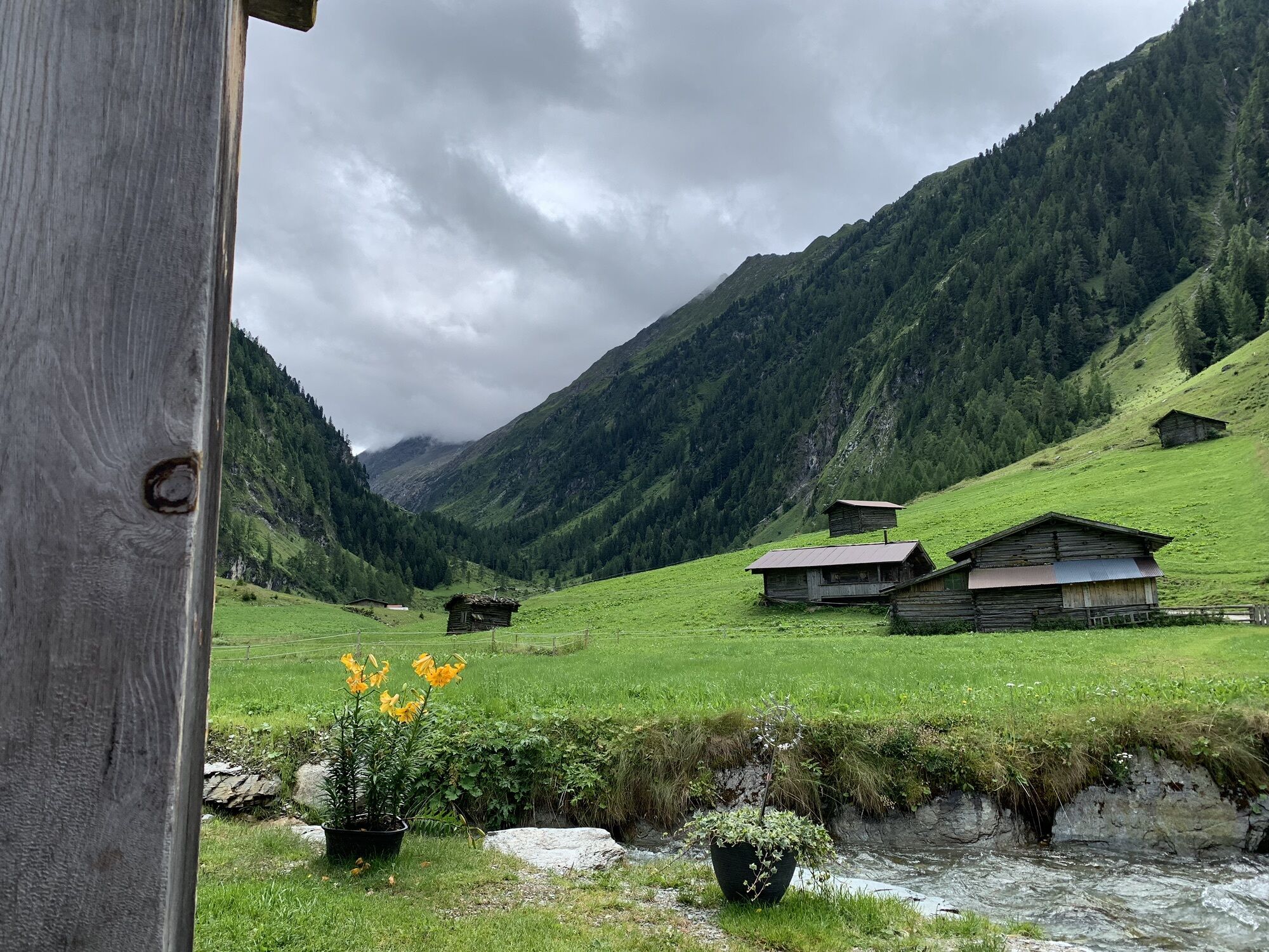
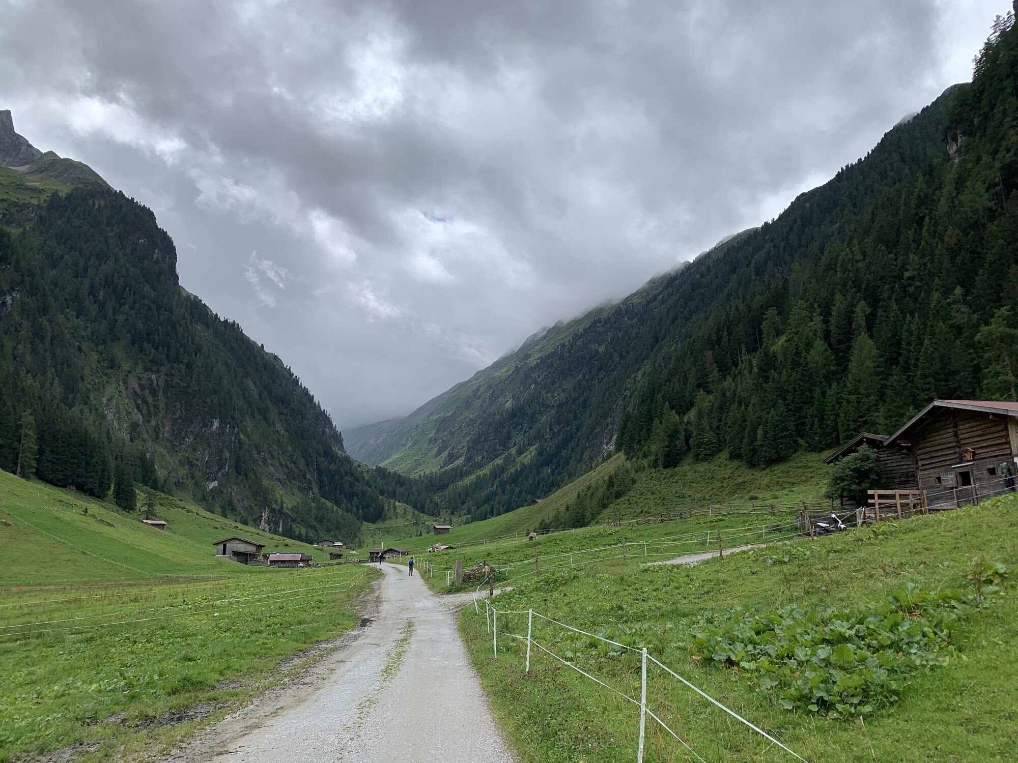
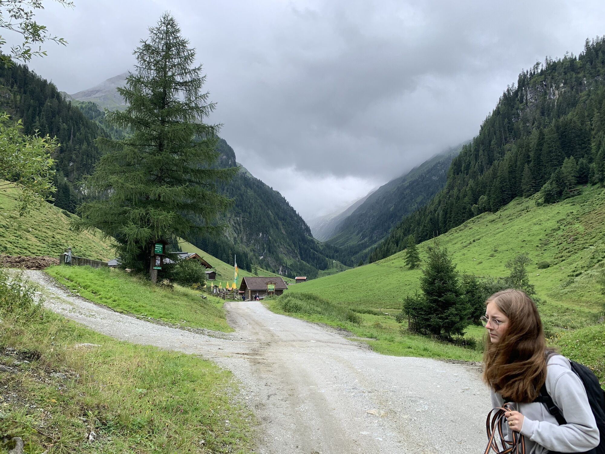
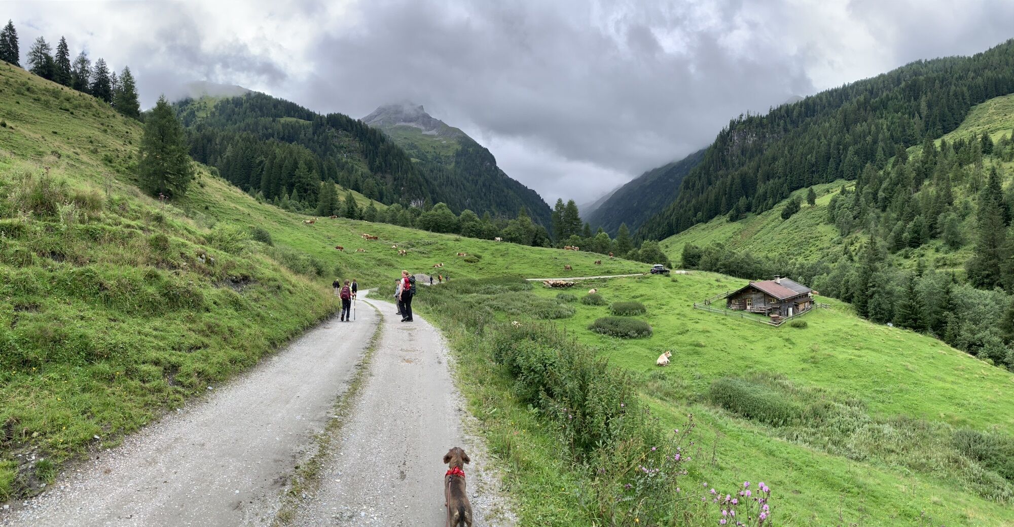
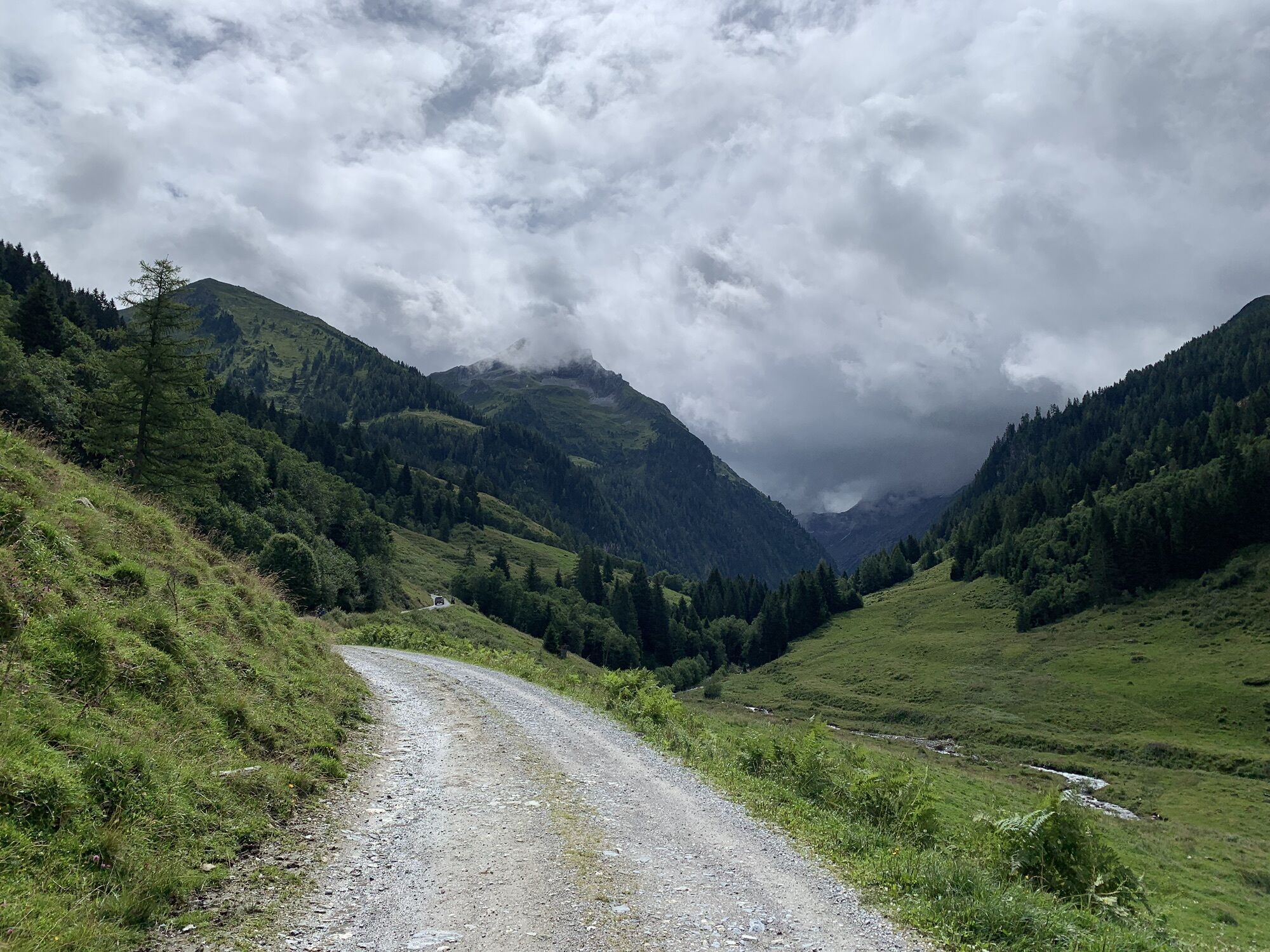
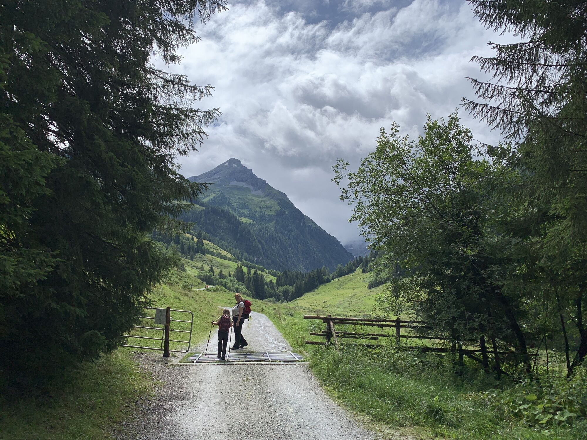
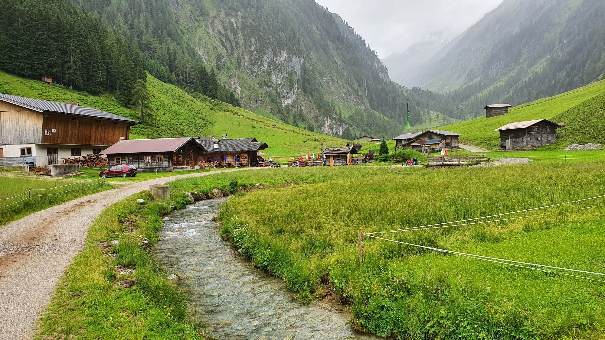
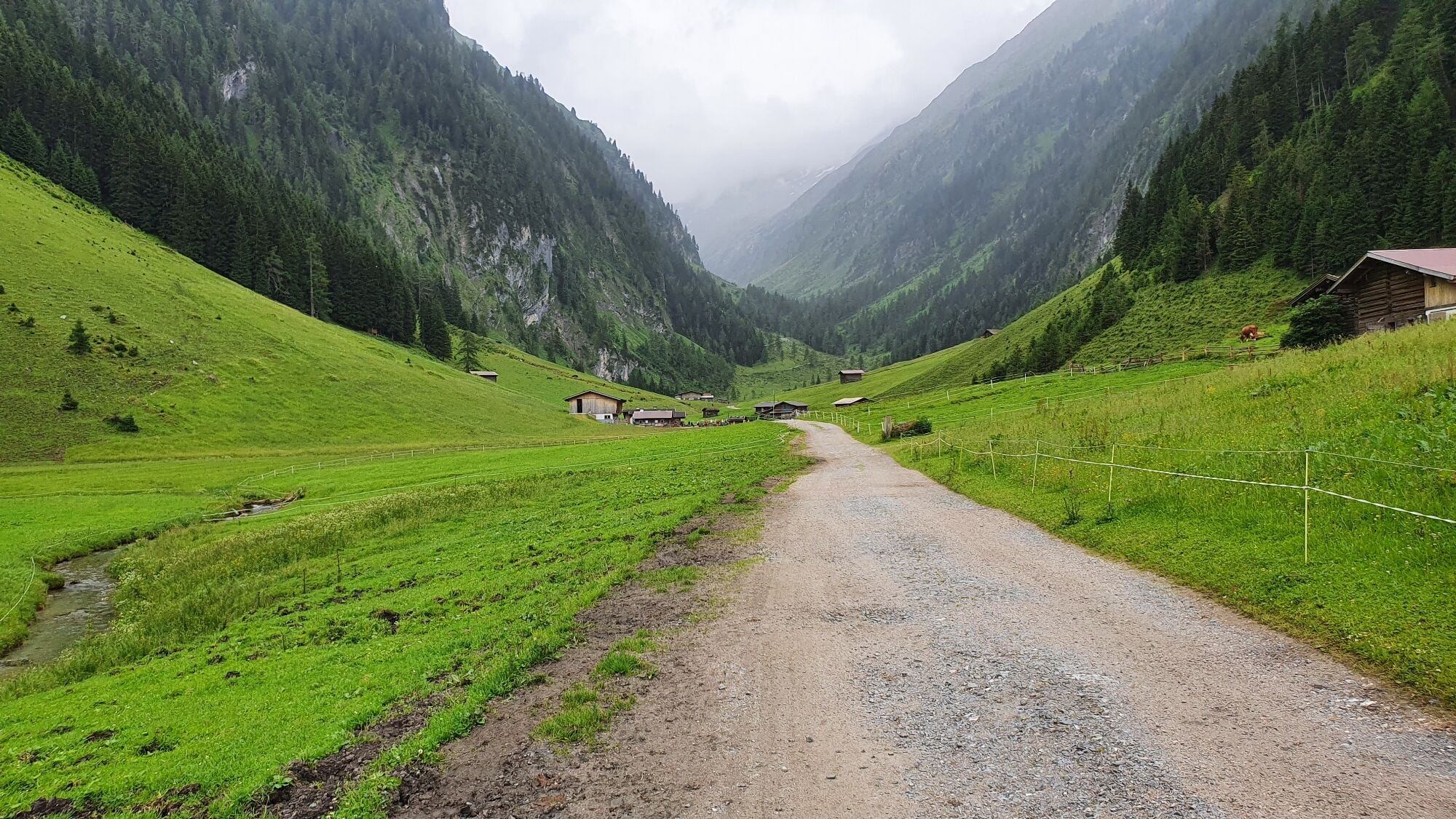
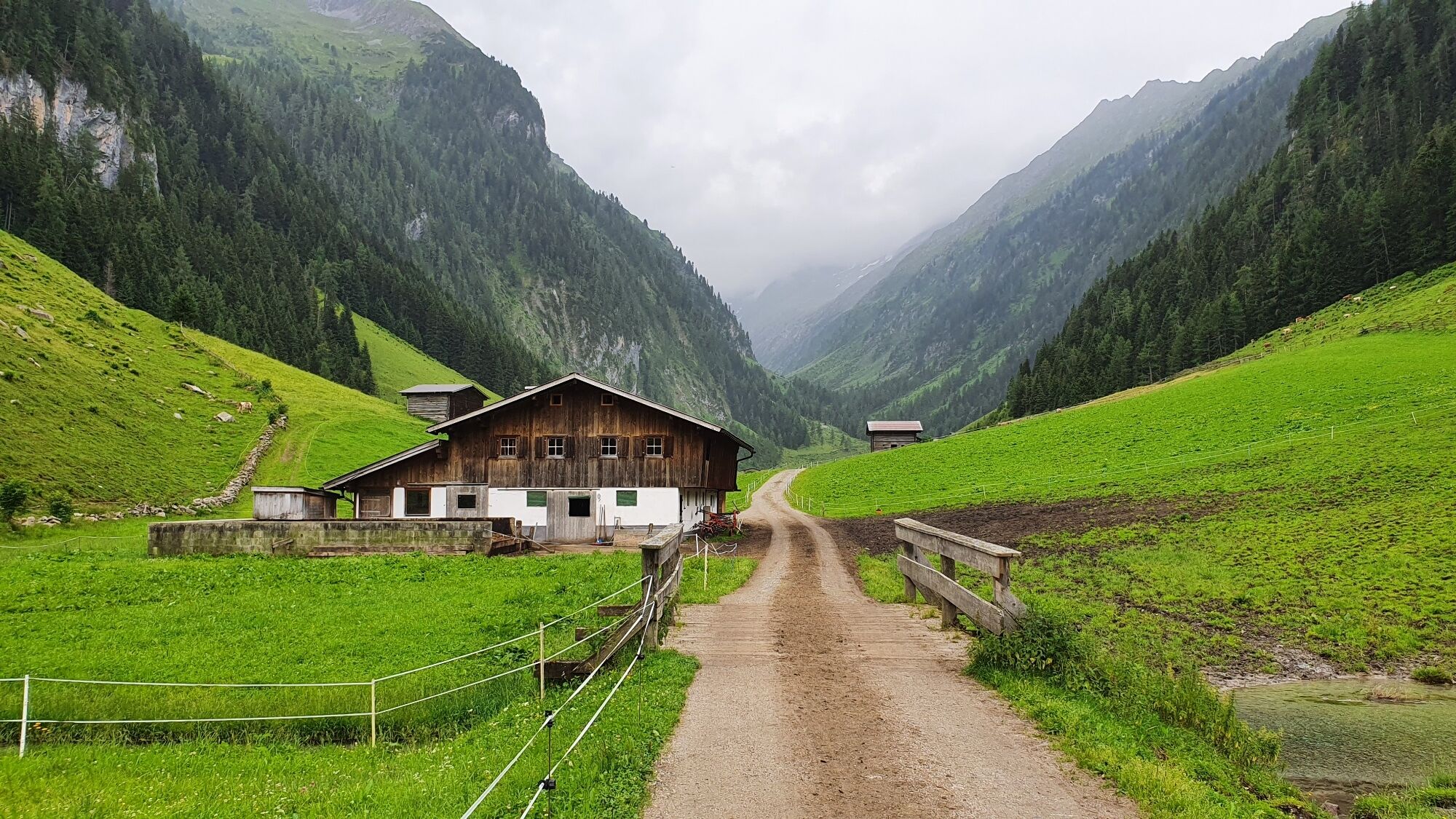
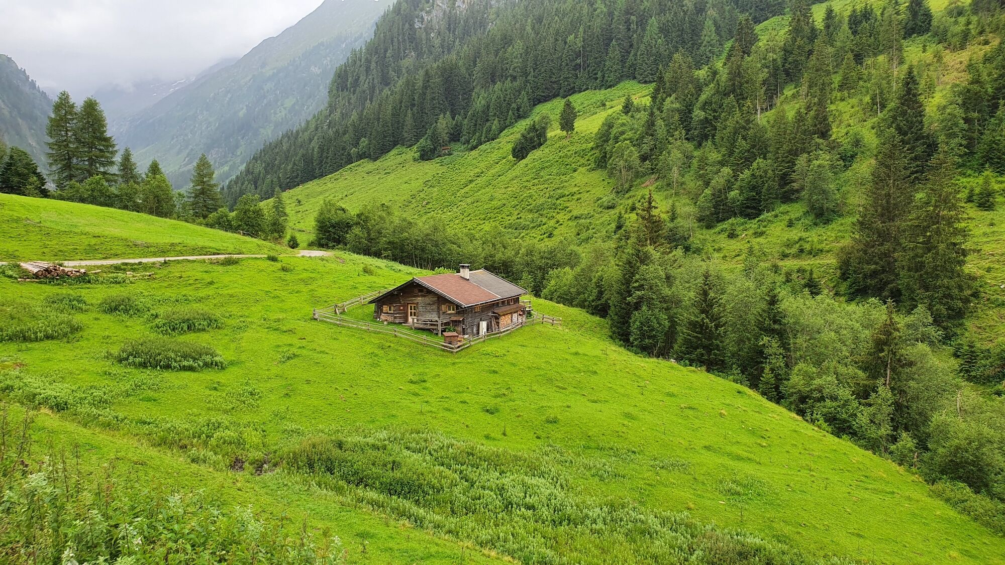
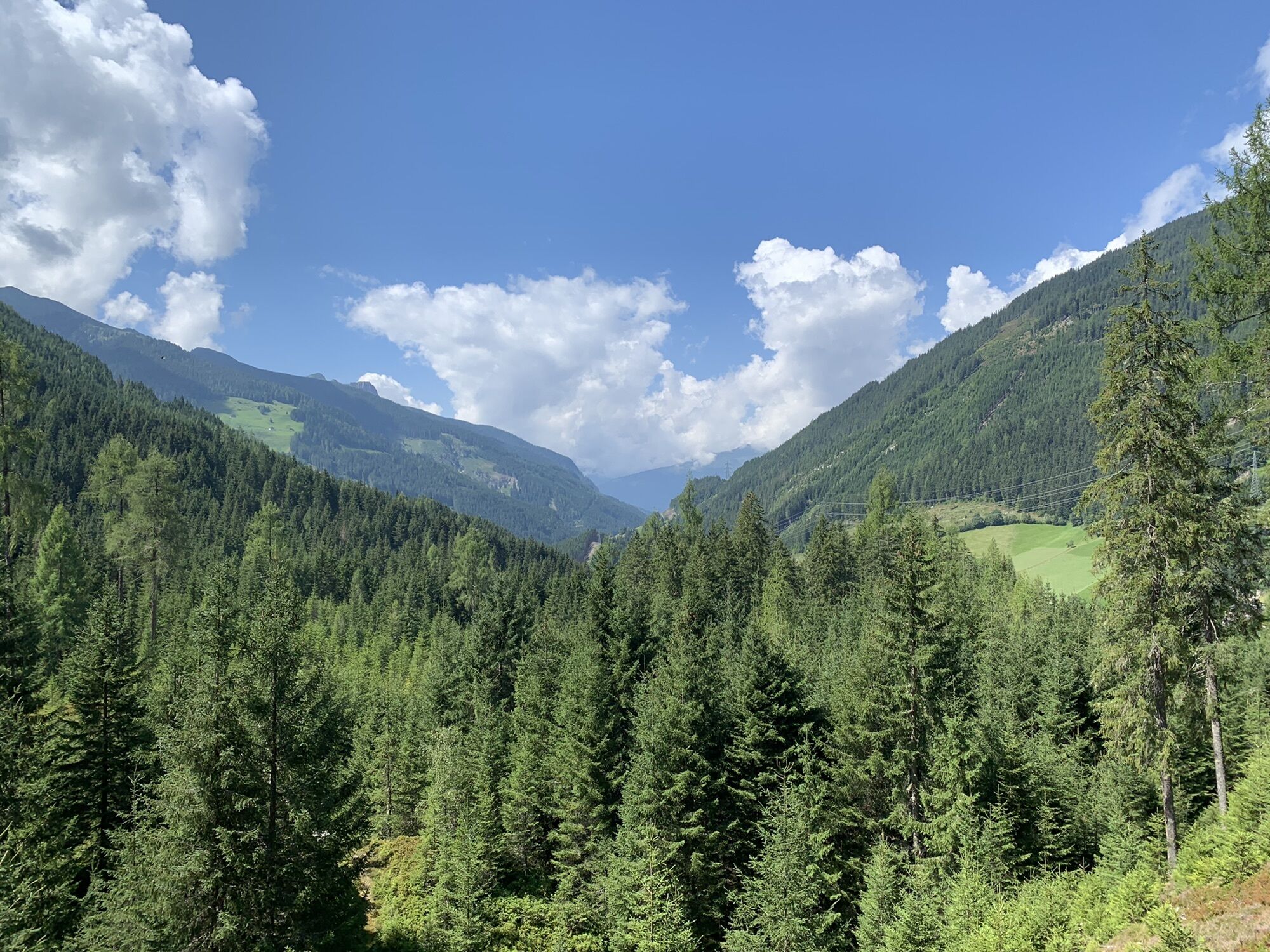
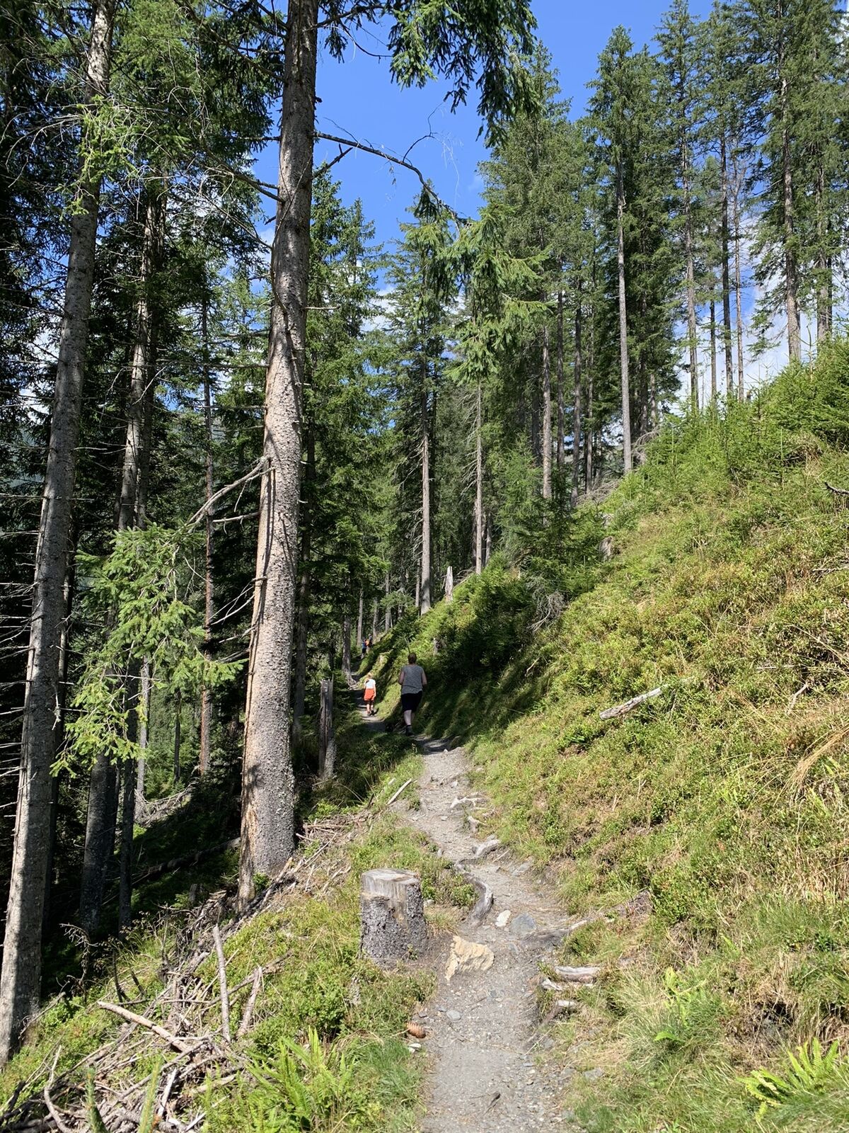
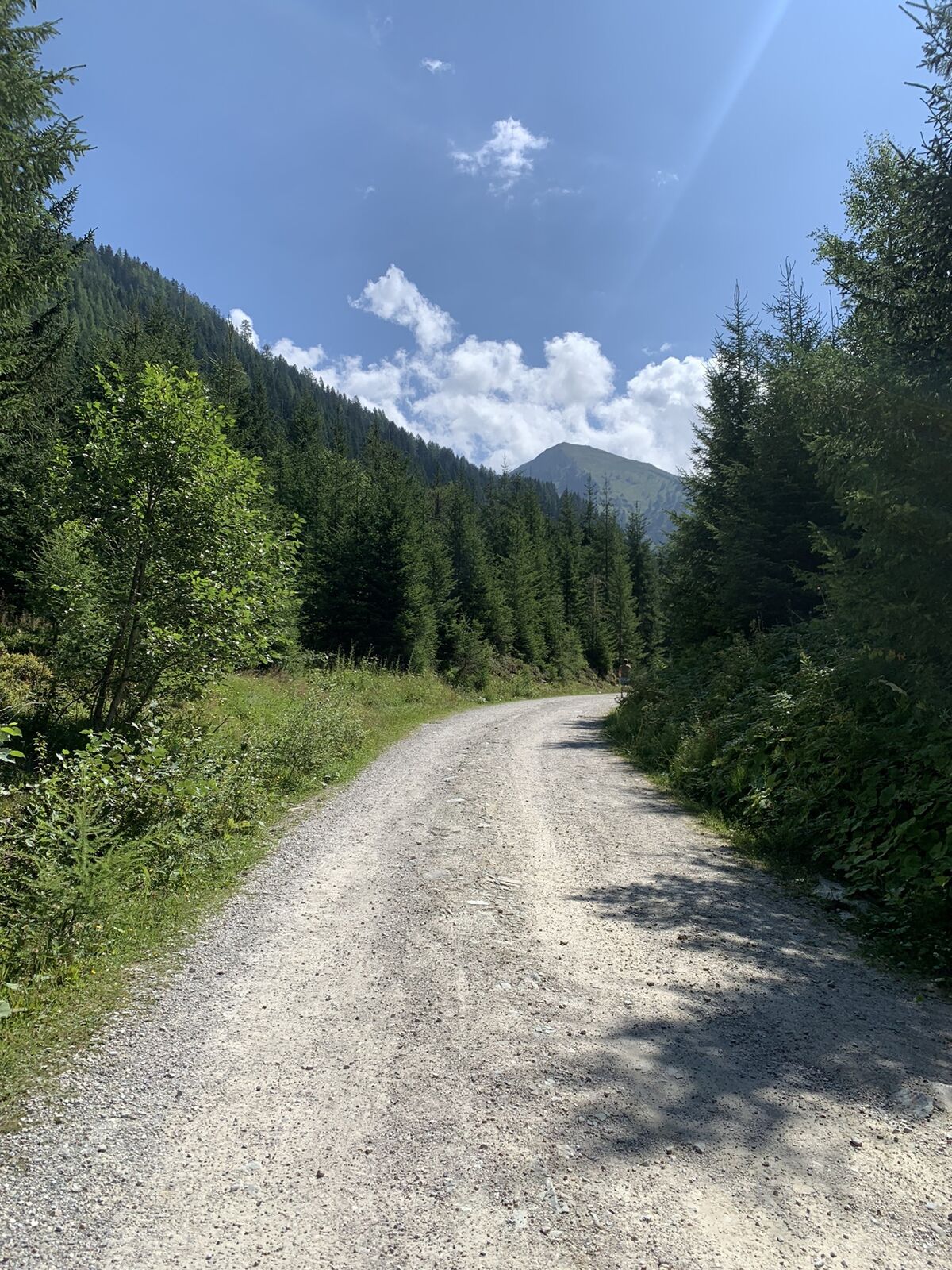
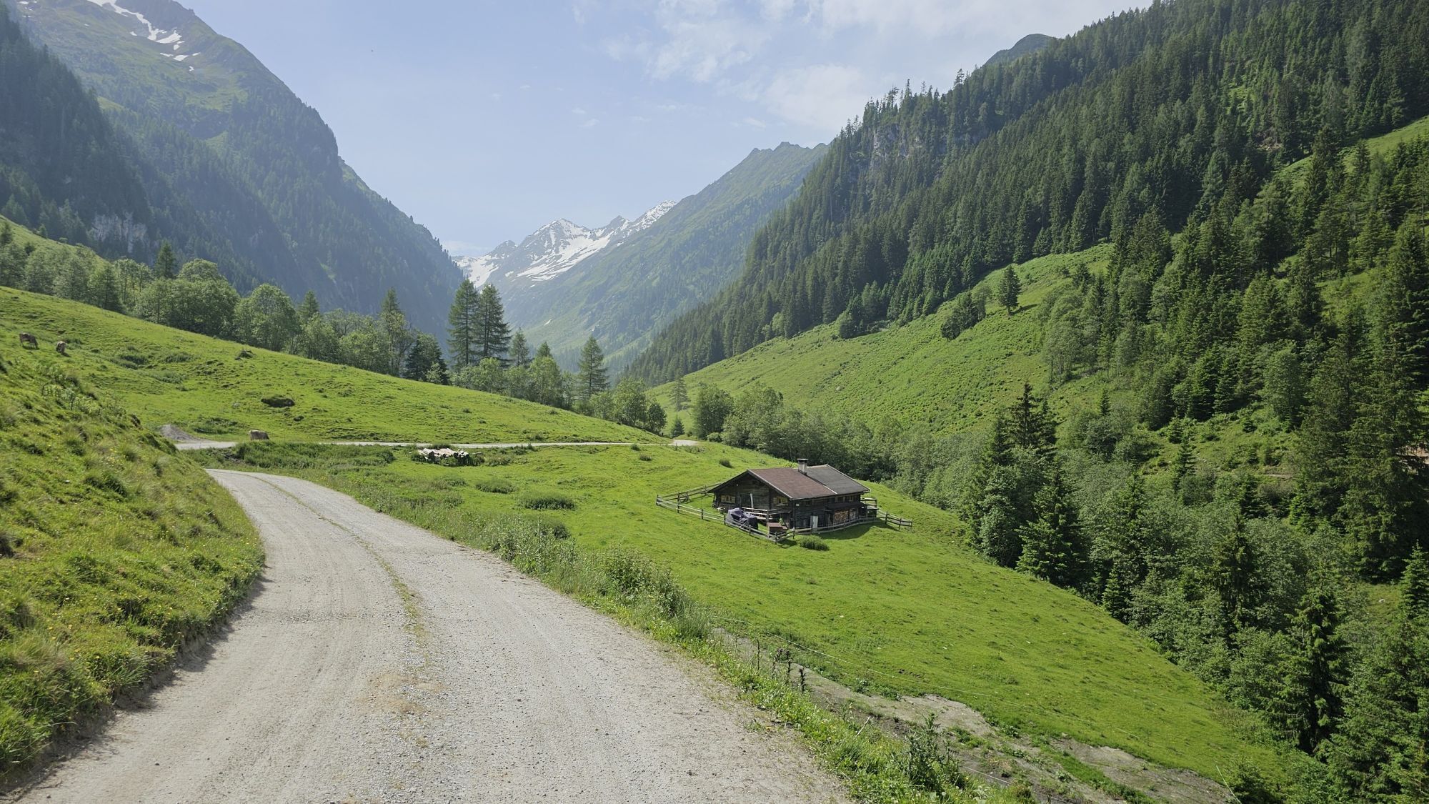
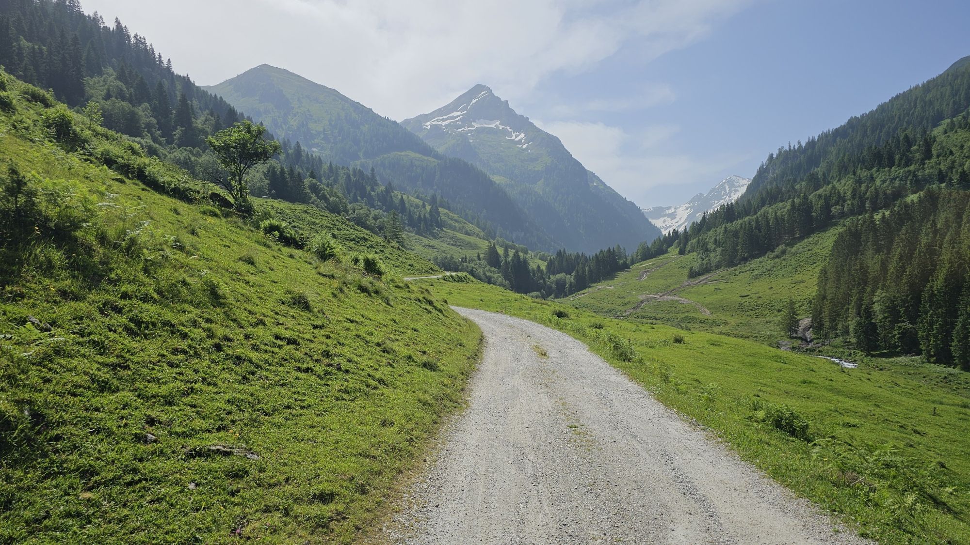
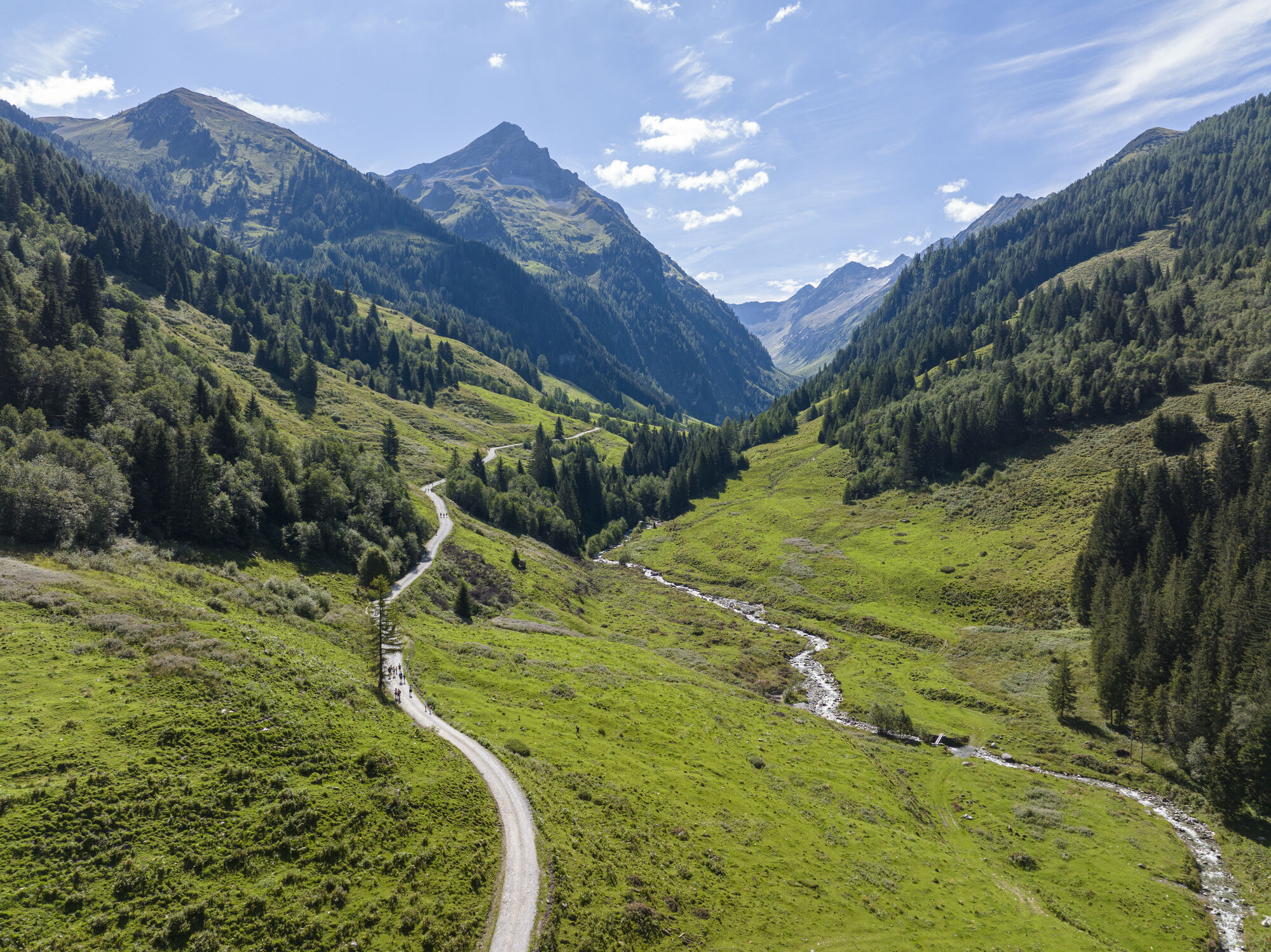
Opposite the Hotel Kröller (1,204 m) in Gerlos-Gmünd, hiking trail no. 6 starts in the Wimmertal with the lush green mountain pastures and the rushing Wimmerbach along the foothpath. After a short, somewhat...
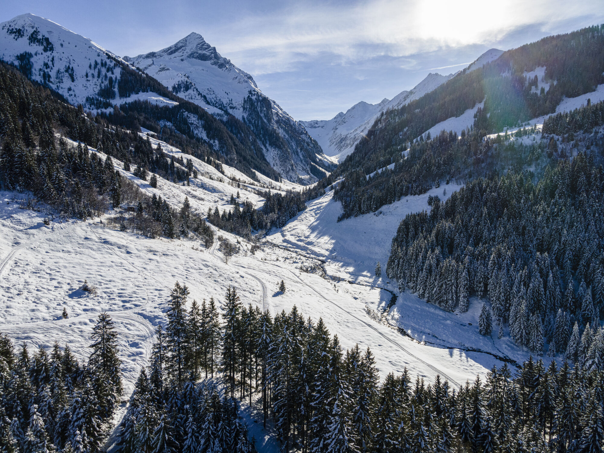
Opposite the Hotel Kröller (1,204 m) in Gerlos-Gmünd, hiking trail no. 6 starts in the Wimmertal with the lush green mountain pastures and the rushing Wimmerbach along the foothpath. After a short, somewhat steep ascent you will pass the snack station Klammer´s Jausenhütte (1.365m) an then finally, after half an hour of walking, you will reach the magnificently located at Wimmertalalm (1.375m). Fully restored, a further 300 altitude metres can then be tackled, even by less experienced hikers without any problems.
Tip: Experienced mountain climbers can also ascend the Wimmerscharte (2.500m).

Wimmertalalm www.zillertalarena.com/sommer/wanderg...
Ano
Ano
Ano
Line 4094 - Kröller
Parking lot Wimmertal

Oblíbené prohlídky v okolí
-
4.3
Gerlos: Stausee Rundwanderung
středníTuristika 12.5 km -
4.6
Mayrhofen-Stilluptal
středníMountainbike 18.4 km -
4.8
Zittauer Hut
středníTuristika 6.85 km -
3.9
Edelhütte
světloTuristika 3.16 km -
4.4
Krimml Waterfall Path - Panorama Viewing Path
středníTuristika 5.71 km -
4.4
Krimmler Tauernhaus
středníTuristika 10.4 km -
4.9
Krimmler Achental
středníElektrokola 18.4 km -
4.6
Ahornspitze
středníHorská turistika 14.2 km -
4.6
Krimmlerwasserfälle
středníTuristika 10.5 km -
4.8
Ochsenkopf
středníTuristika 5.46 km

Pěší turistika a stopování


Nenechte si ujít nabídky a inspiraci pro vaši příští dovolenou
Vaše e-mailová adresa byl přidán do poštovního seznamu.





