







Modal Round
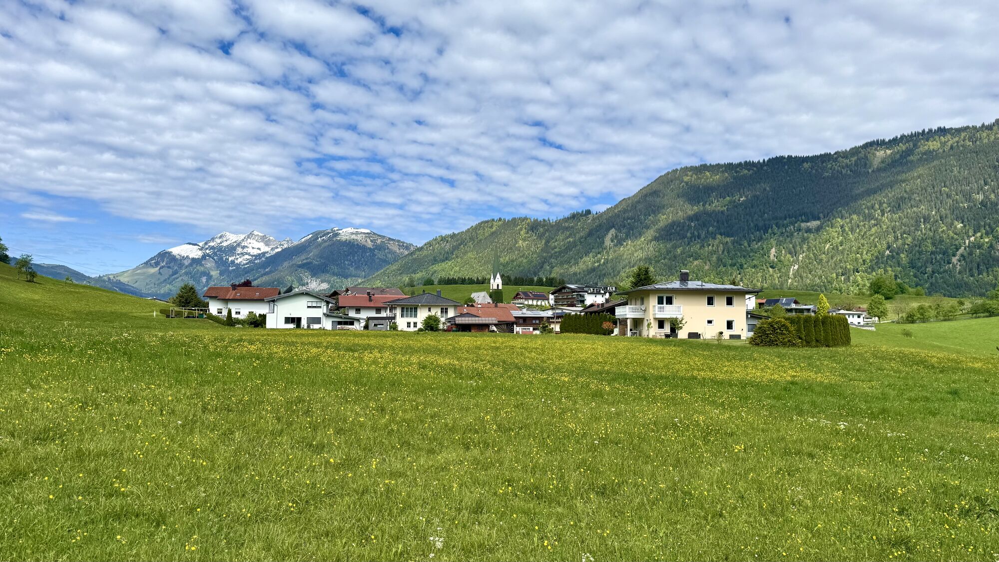
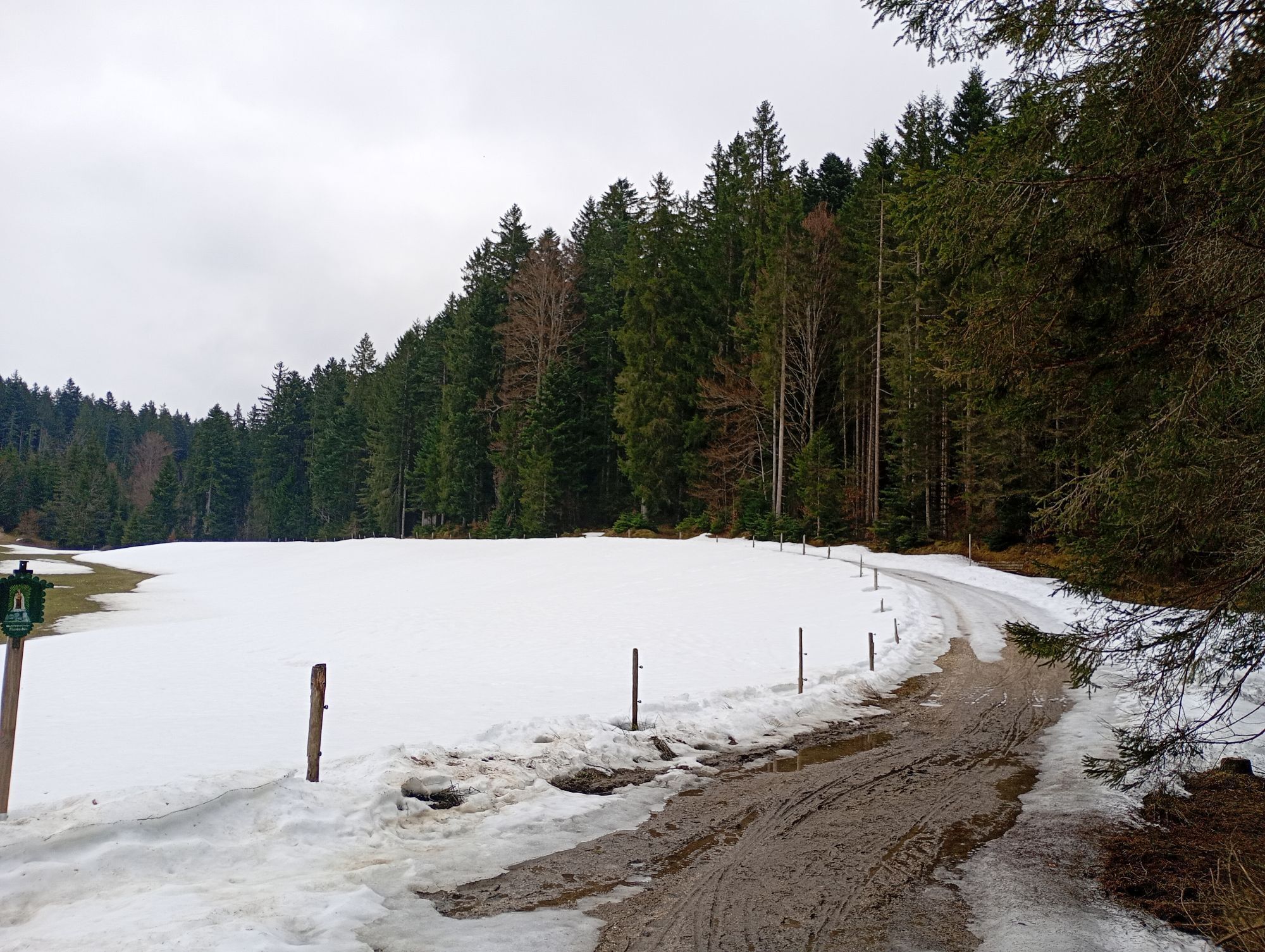
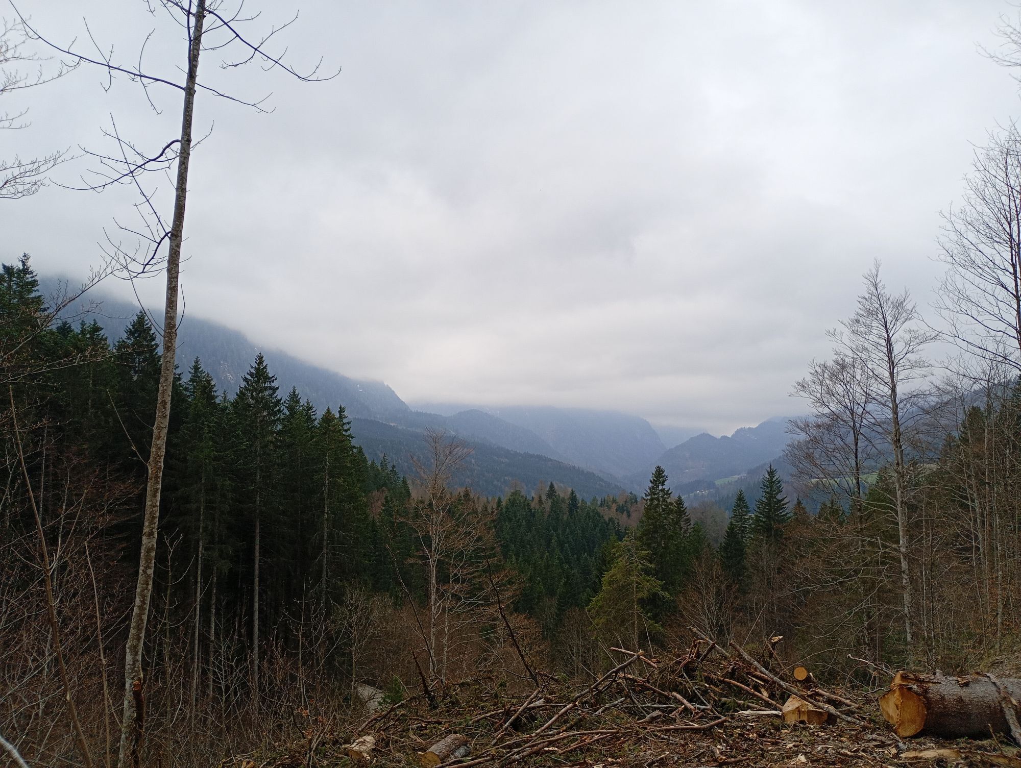
The circular trail first leads us from the centre of the village in Hinterthiersee along a piece of the road to the west. In Grub we turn left onto the path to the Kranhof/ Modal. We hike through a mixed...
The circular trail first leads us from the centre of the village in Hinterthiersee along a piece of the road to the west. In Grub we turn left onto the path to the Kranhof/ Modal. We hike through a mixed forest until suddenly the view widens into the Kranhof with the Jägerfall and into the gorge of the Glemmbach. On the way on, we always keep left, walk around the Wäschekogel and finally reach Modal. Below the Modal farms, the forest path branches off to the right towards Breitenau. Pass the Labyrinth power place and follow the road down towards Hinterrthiersee.

Snacks (e.g. fruit, muesli bars, wholemeal breads) and drinks (allow for sufficient liquid)
First aid equipment
Mobile phone with full battery
Hiking map and guide literature
Sun protection (sun cream and glasses, cap)
From the Inntal motorway A12 take the exit Kufstein Nord and follow the signs to Thiersee/Hinterthiersee.
With the KufsteinerlandCard within the region bus free of charge.
Primary schools Hinterthiersee, free of charge.
Webové kamery z prohlídky
-
Thiersee - Mitterland - Schneeberglifte
-
Thiersee - Mitterland - Schneeberglifte
-
Thiersee - Mitterland - Schneeberglifte
-
Thiersee - Mitterland - Schneeberglifte
-
Thiersee - Mitterland - Schneeberglifte
-
Pendlinghaus - Kufstein
-
Pendlinghaus - Kufstein
-
Thiersee - Mitterland - Schneeberglifte
-
Thiersee - Ticklhof
-
Tirolina
Získejte přehled
Vždy živě na místě s více než 9 500 webkamerami. bergfex Jako uživatel Pro si nyní můžete zobrazit odpovídající webové kamery pro mnoho prohlídek v aplikaci prohlídky z. Můžete si tak přímo prohlédnout aktuální podmínky.

Oblíbené prohlídky v okolí
-
4.7
Hintersteinersee
středníTuristika 9.87 km -
4.7
Rotwand über Schliersee, Deutschland
středníTuristika 15.4 km -
4.7
Wildalpjoch und Käserwand
středníTuristika 7 km -
3.2
Kundler Klamm
světloTuristika 6.33 km -
4.6
Über Hintersteinersee und Walleralm aufs Hochegg
světloTuristika 12.2 km -
4.5
Wanderung um den Hintersteinersee
světloTuristika 5.29 km -
4.3
Bergdoktor Wohnhaus "Gruberhof" (Köpfing Hof) Rundeweg-Söll
světloTuristika 8.70 km -
4.7
Miesing
středníHorská turistika 17.9 km -
4.1
Taubenstein mit 360° Bergblick am Gipfel
světloTuristika 8.50 km -
4.9
Kleiner und großer traithen von rosengasse
středníTuristika 9.84 km

Pěší turistika a stopování


Nenechte si ujít nabídky a inspiraci pro vaši příští dovolenou
Vaše e-mailová adresa byl přidán do poštovního seznamu.





