







KOASA-"20s" hike

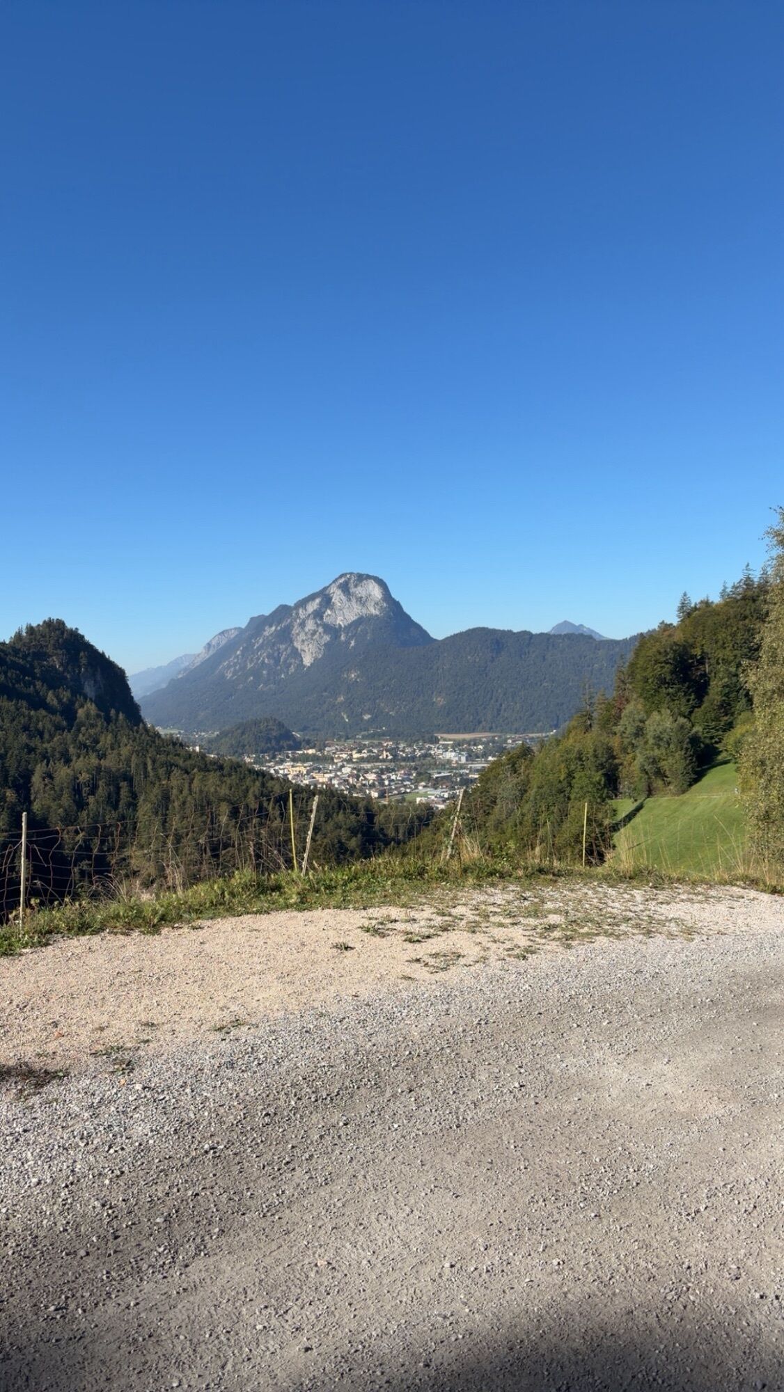
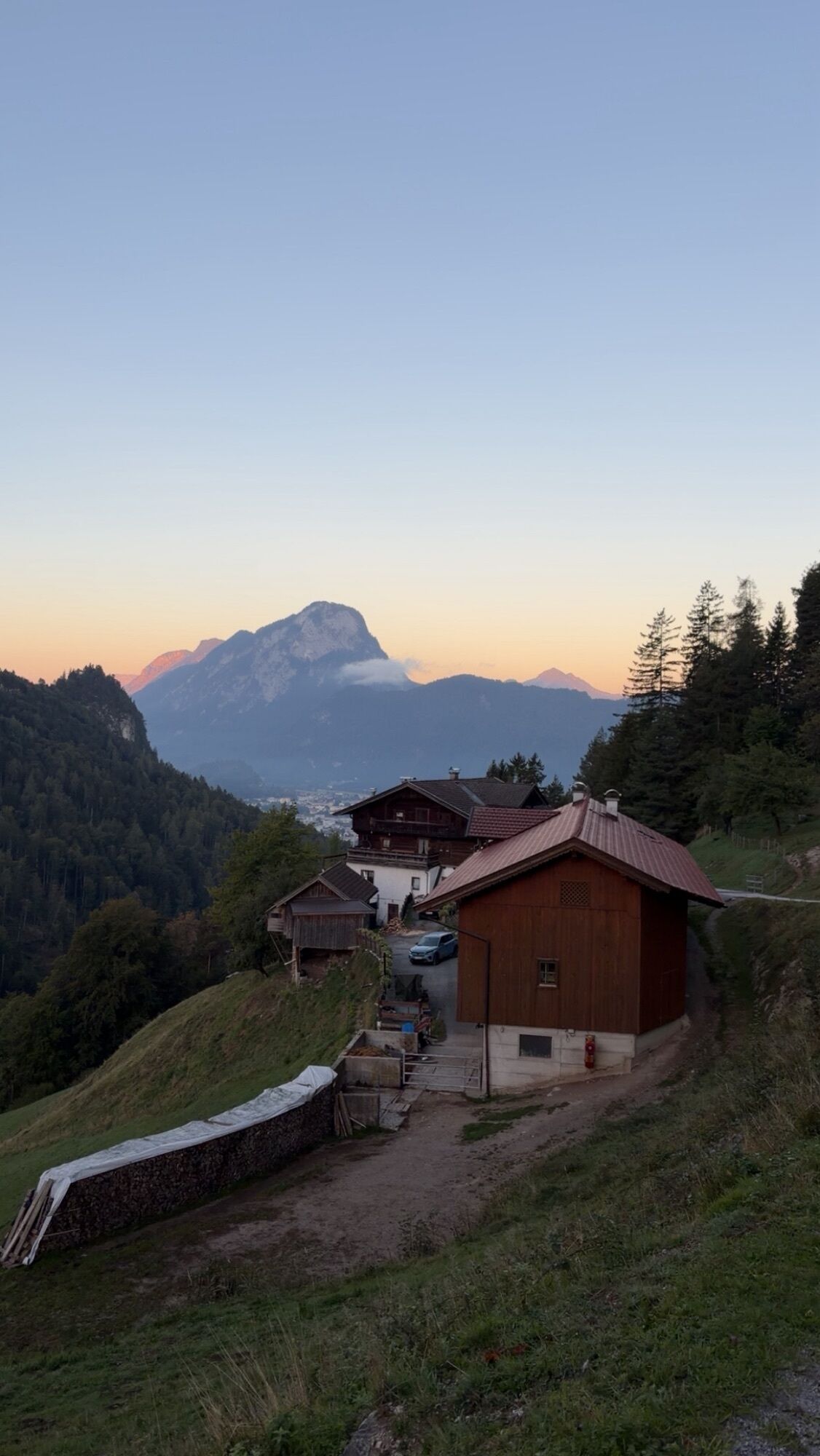
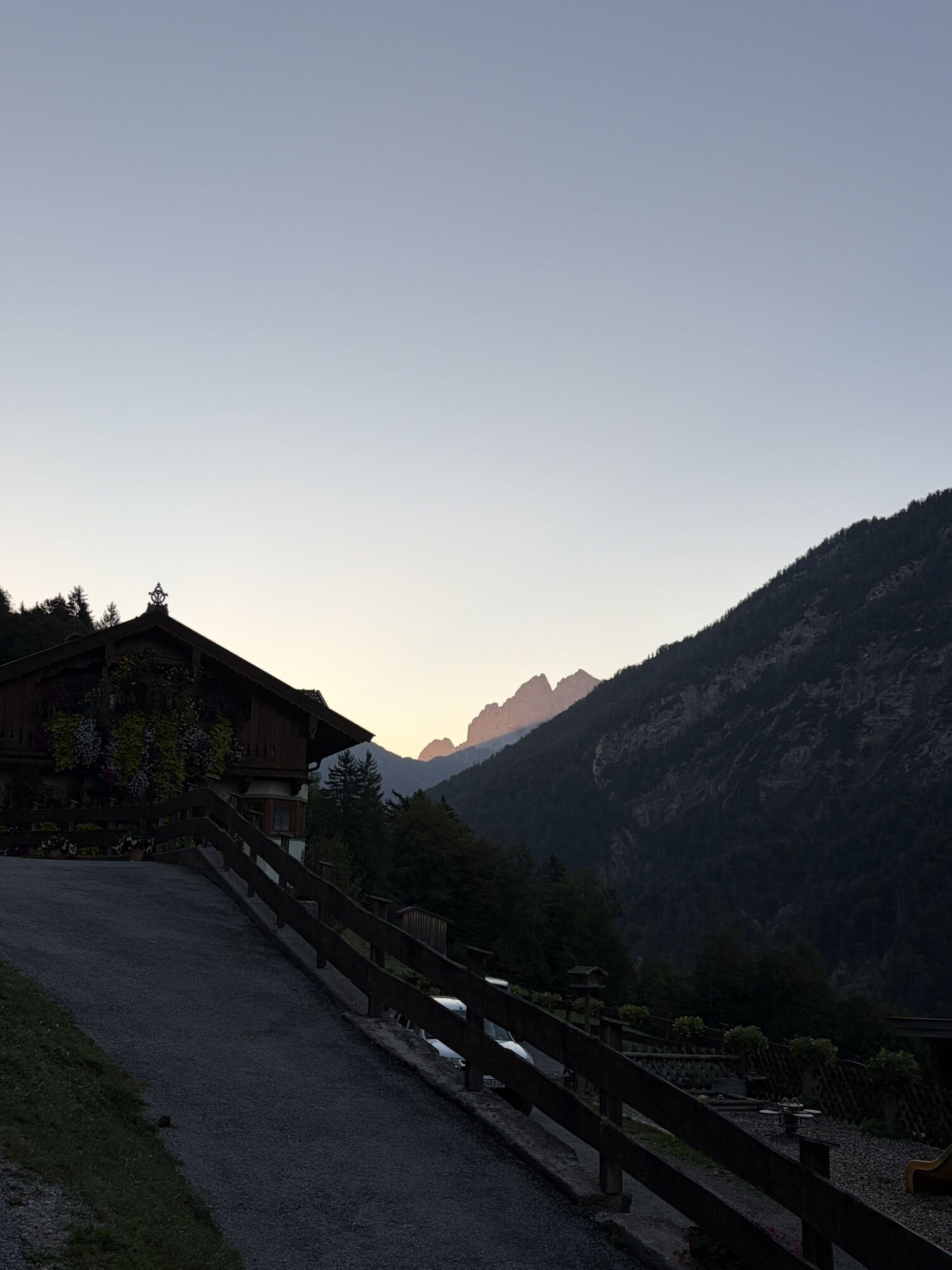
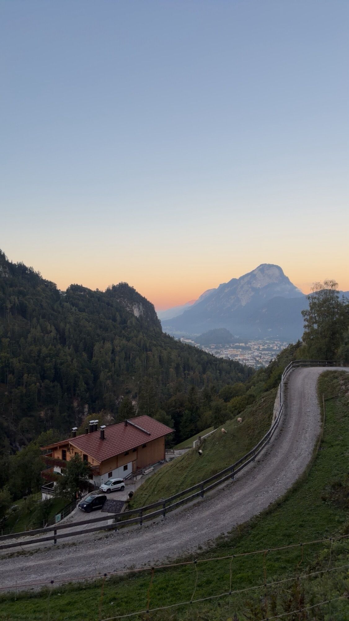
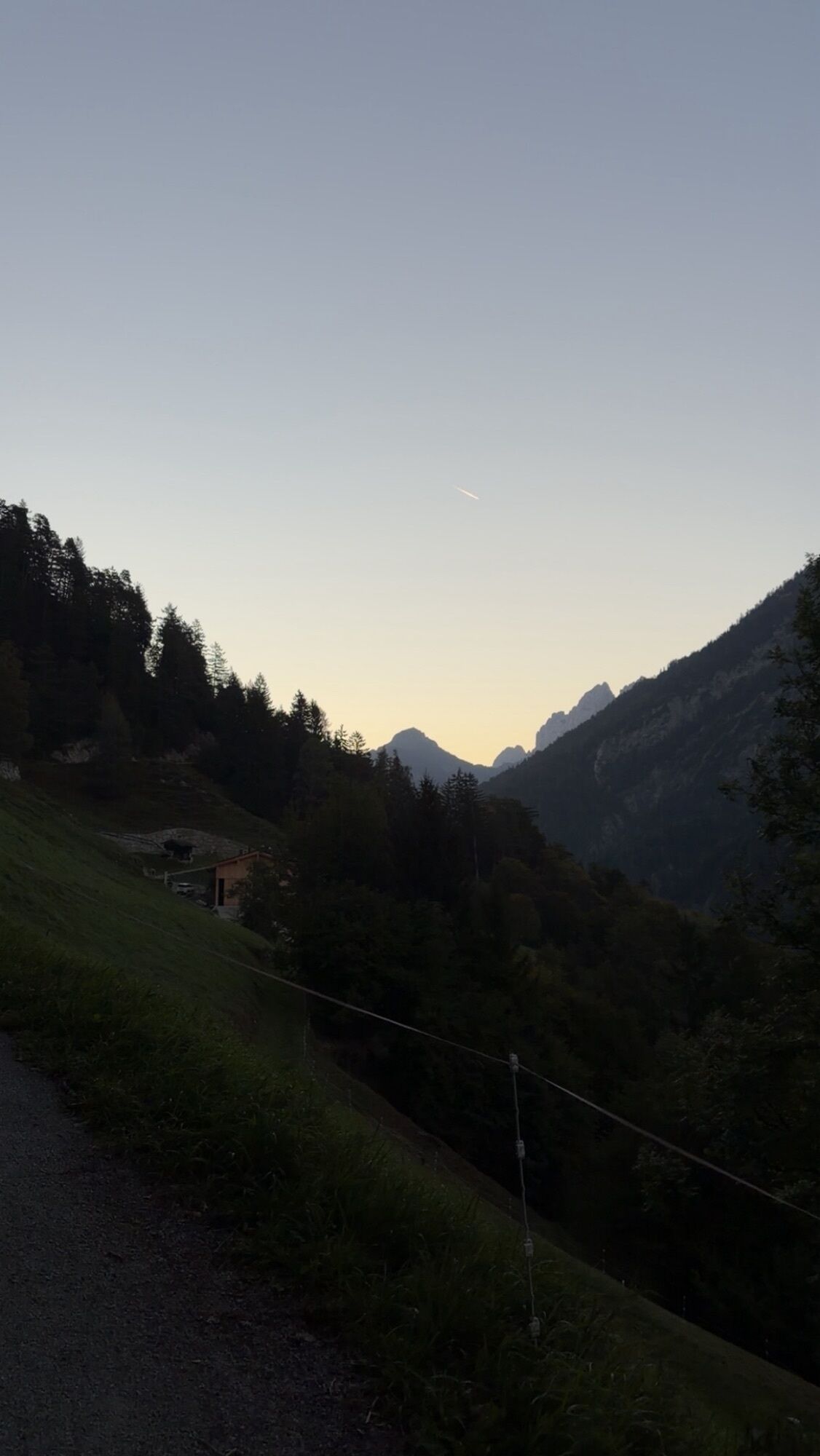
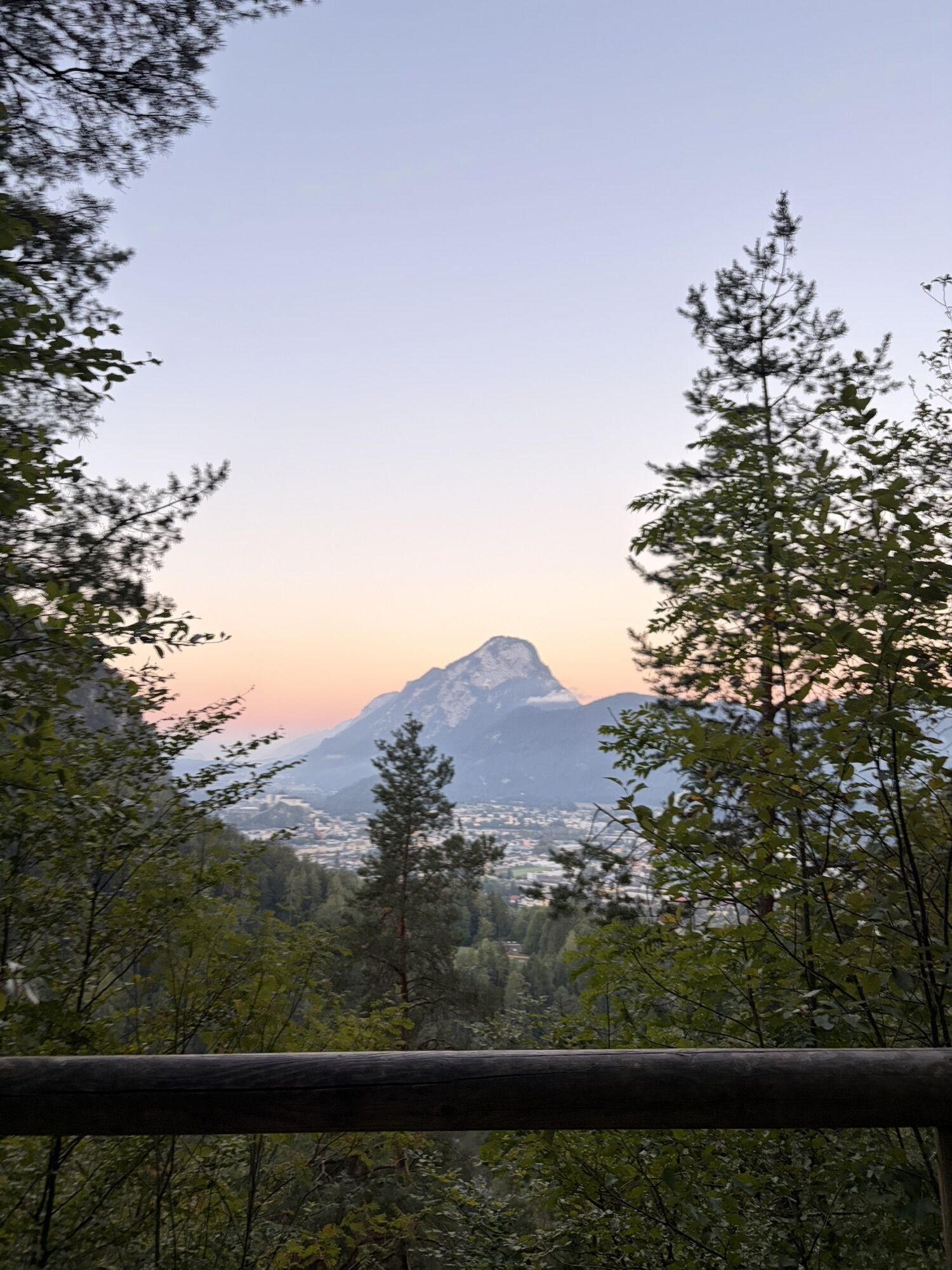
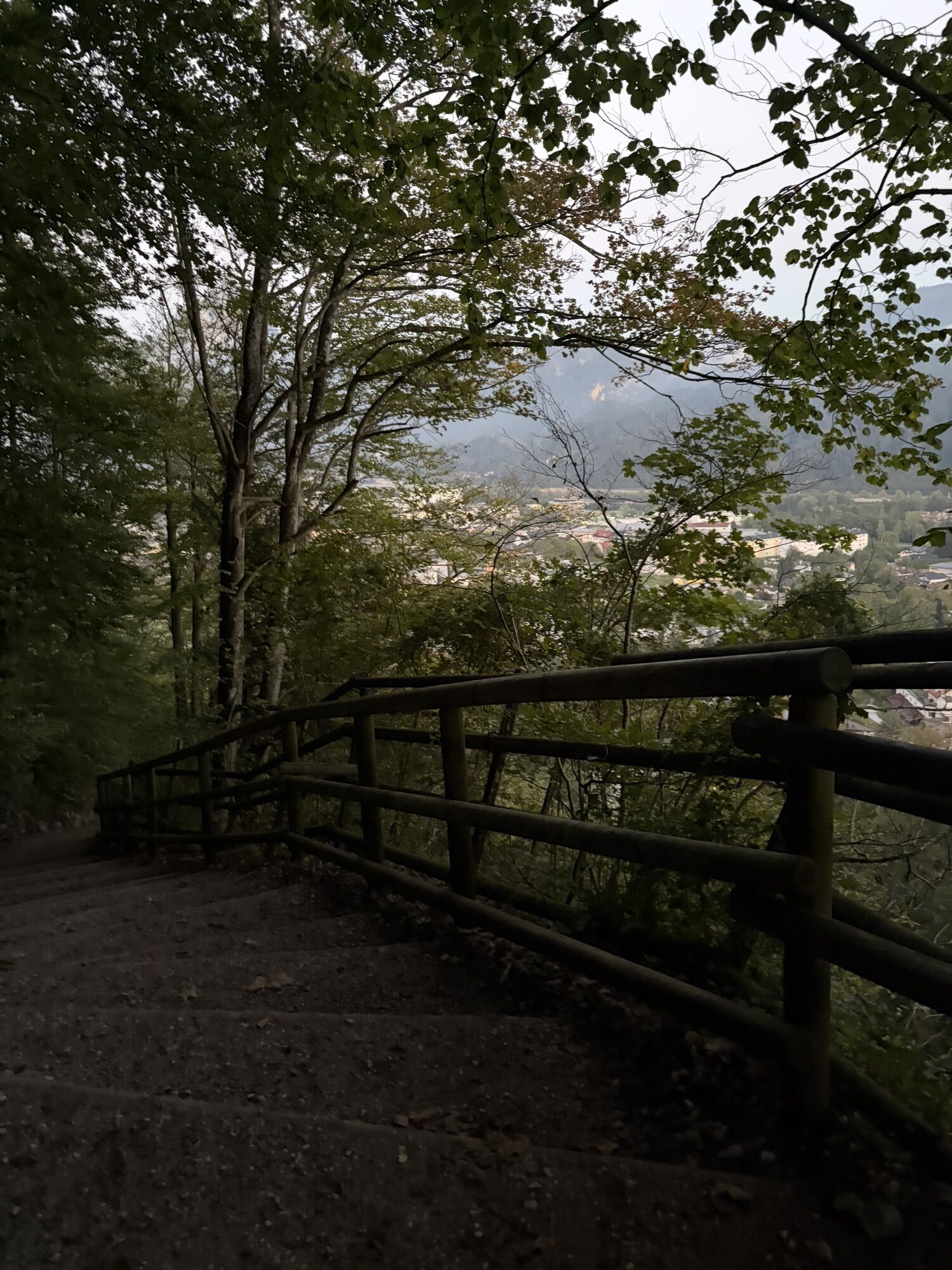
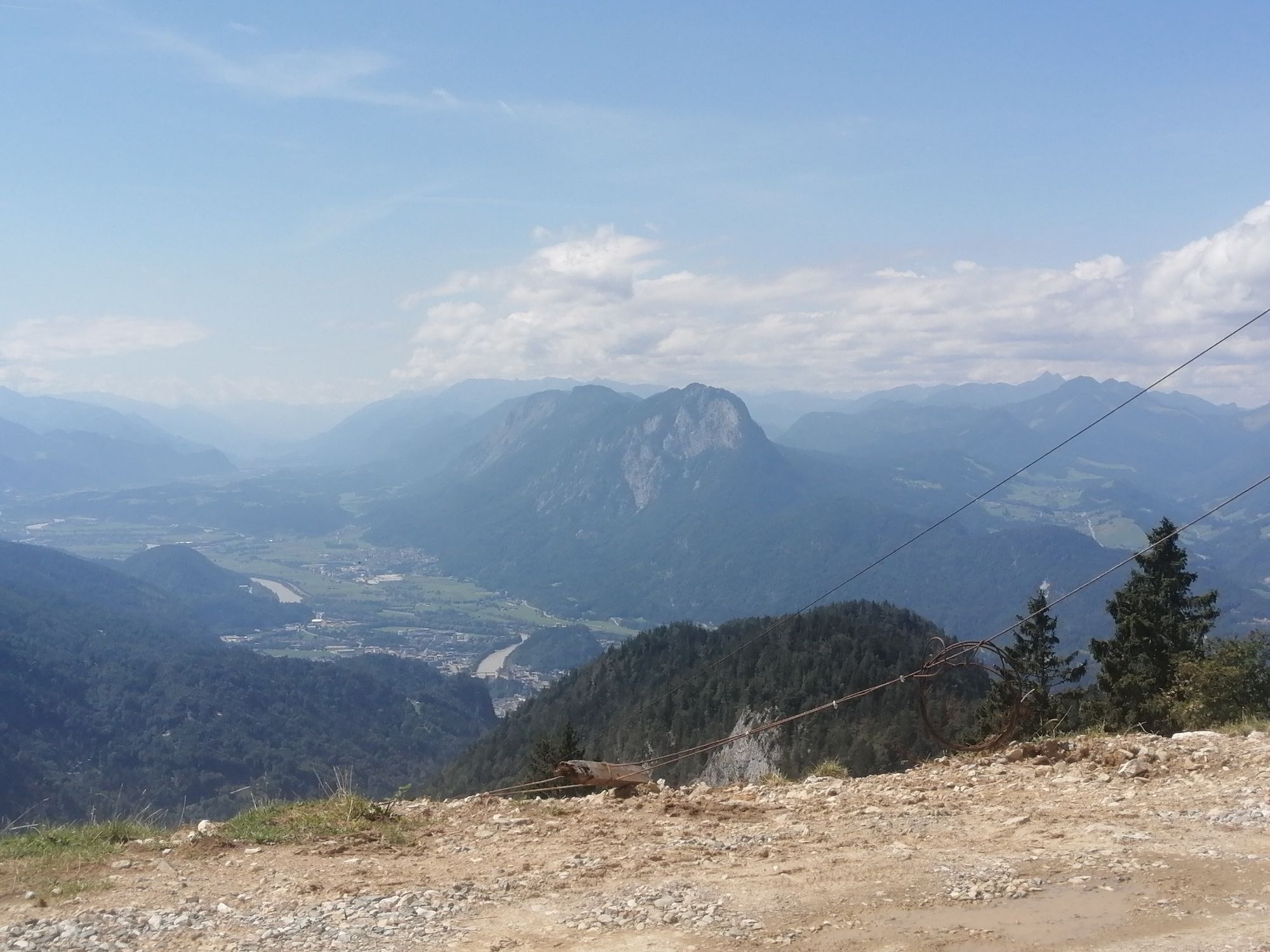
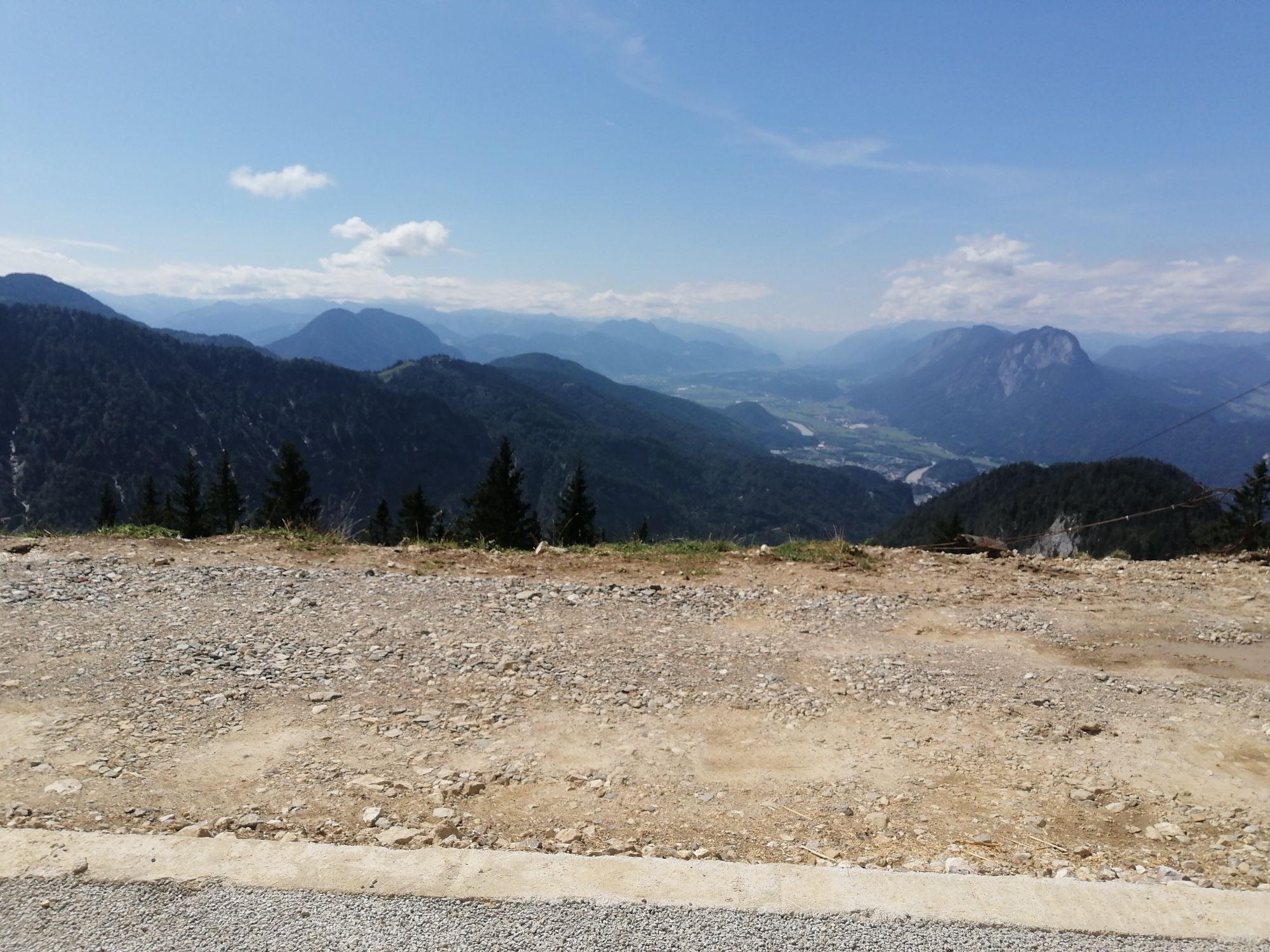
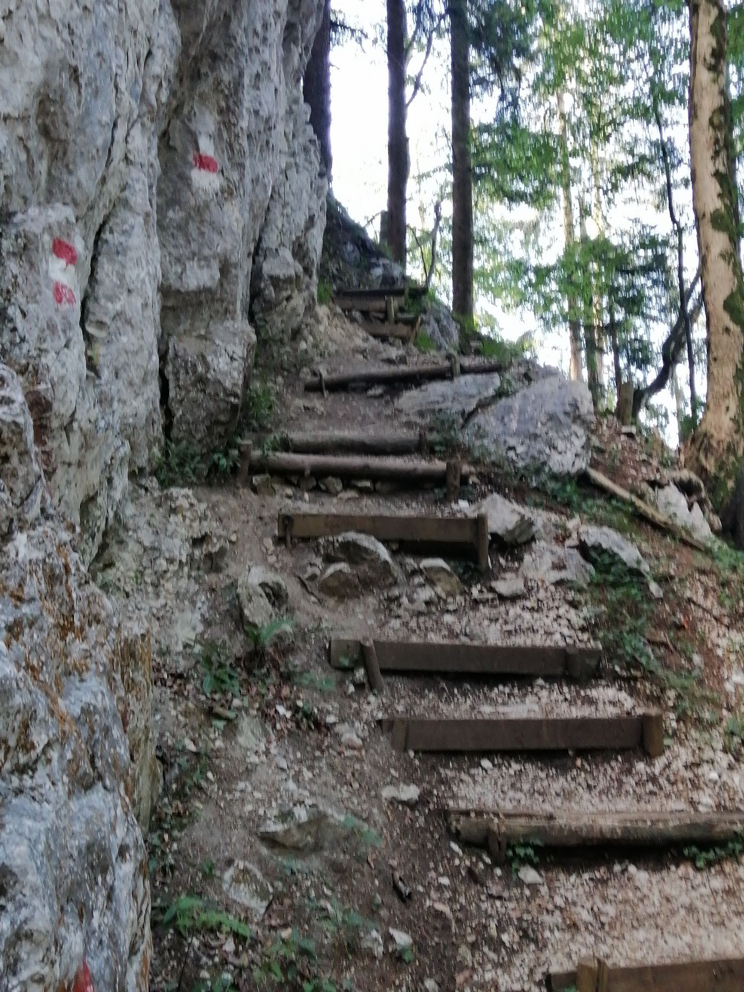
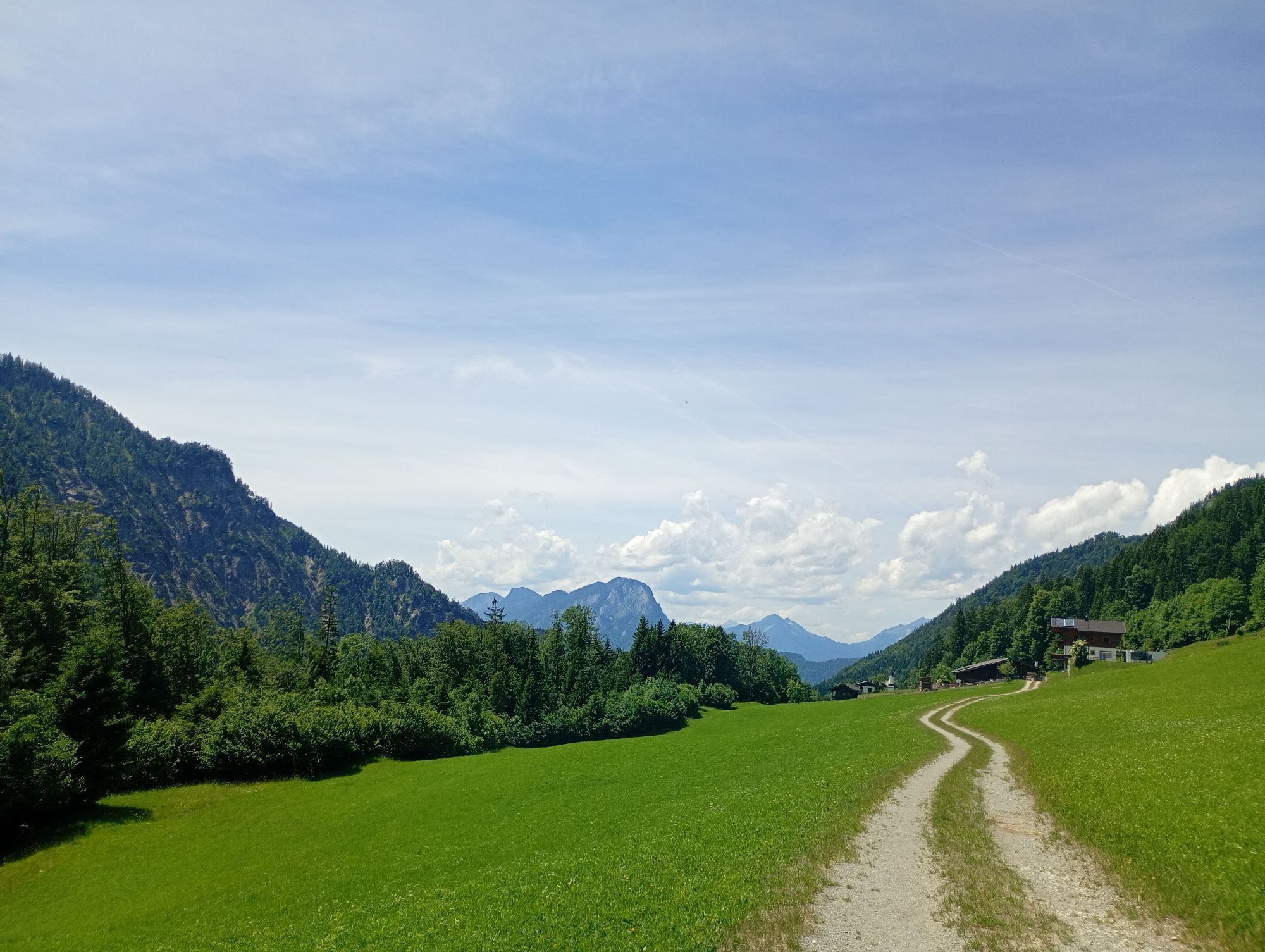
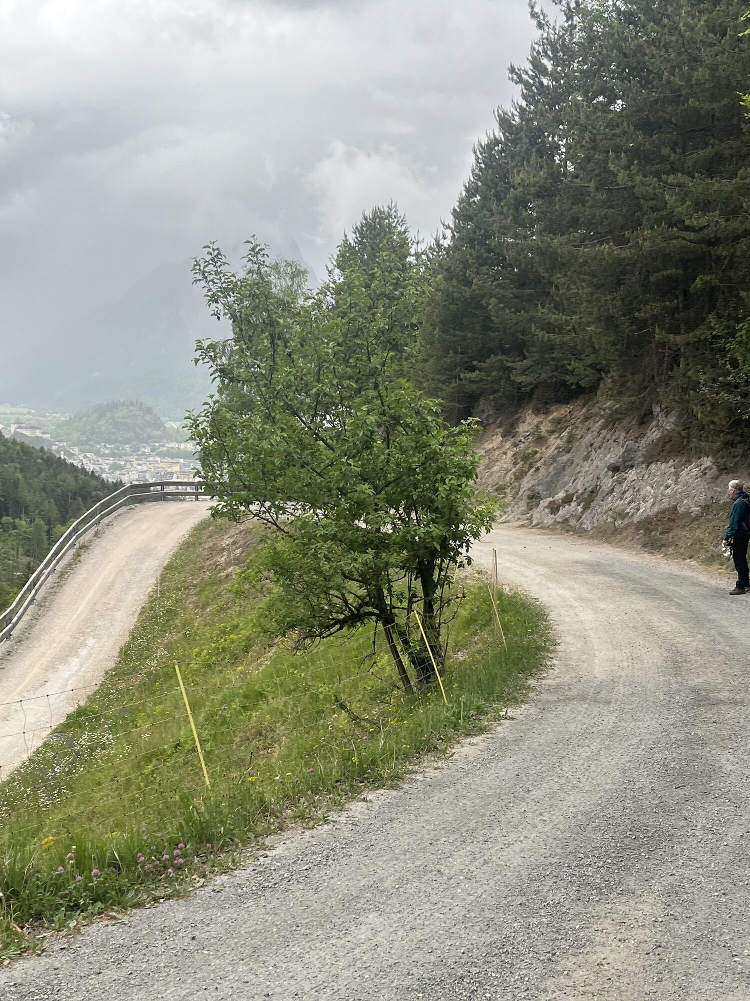
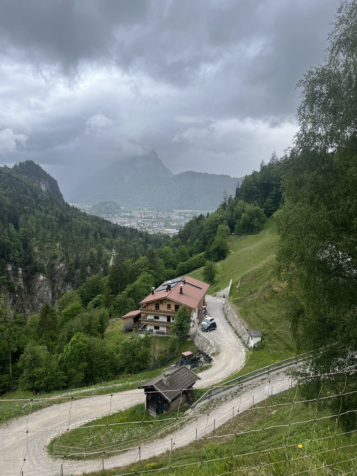
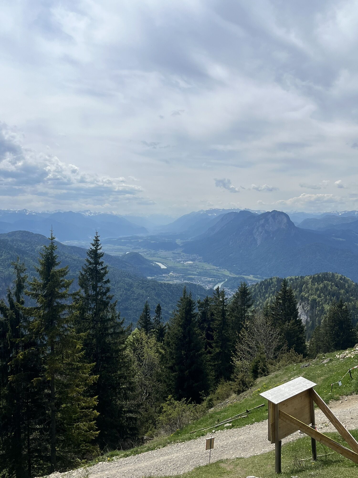
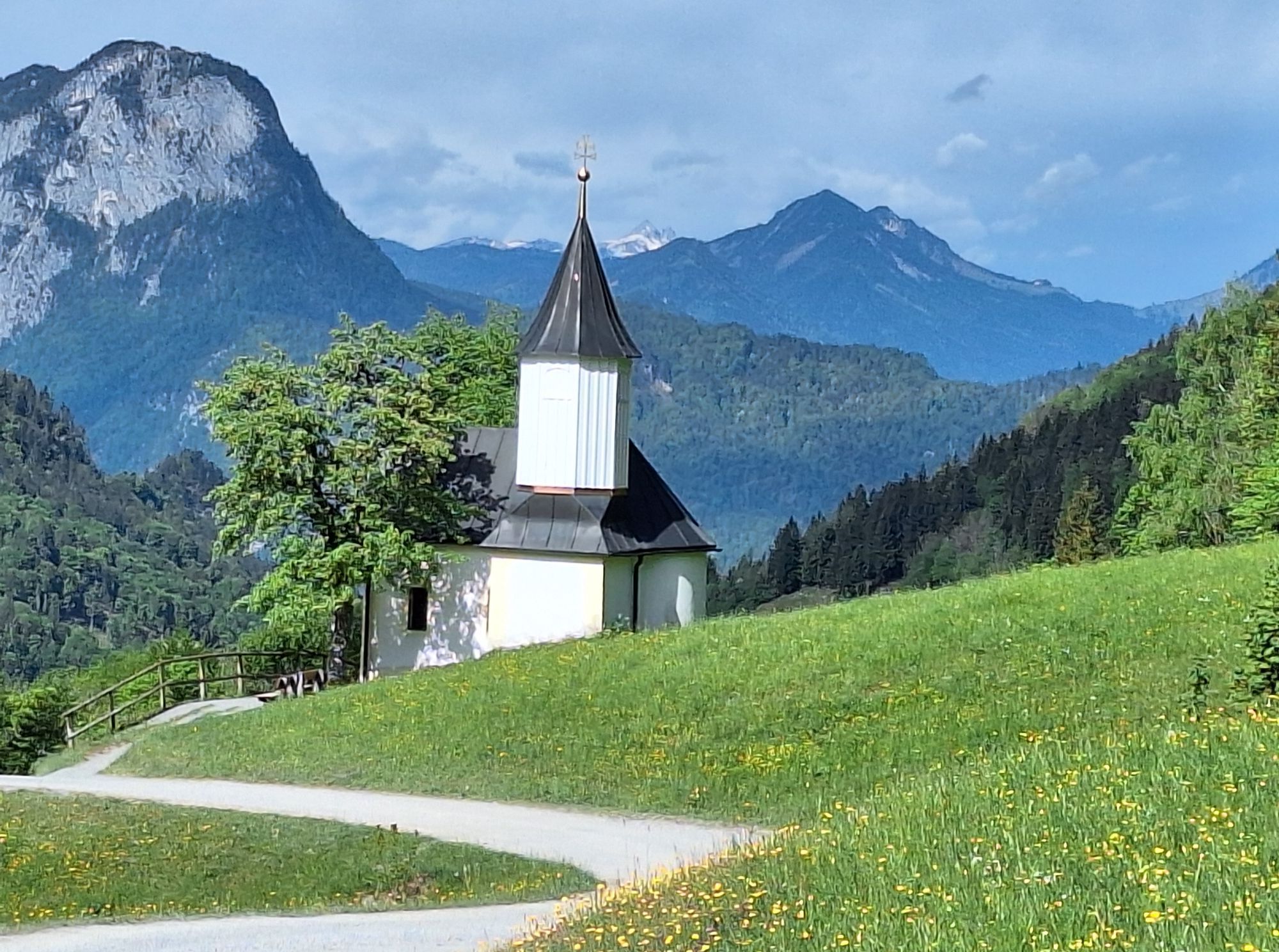
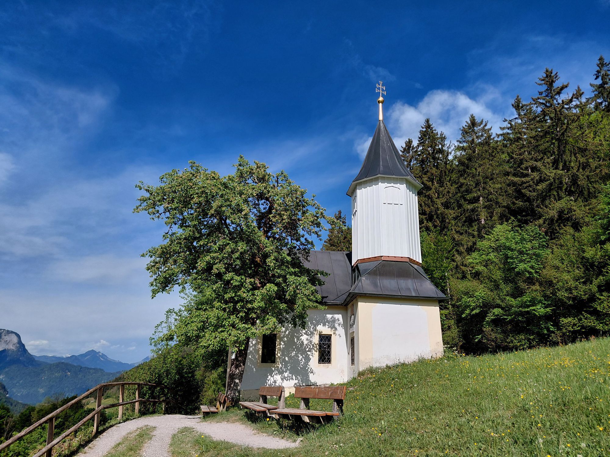
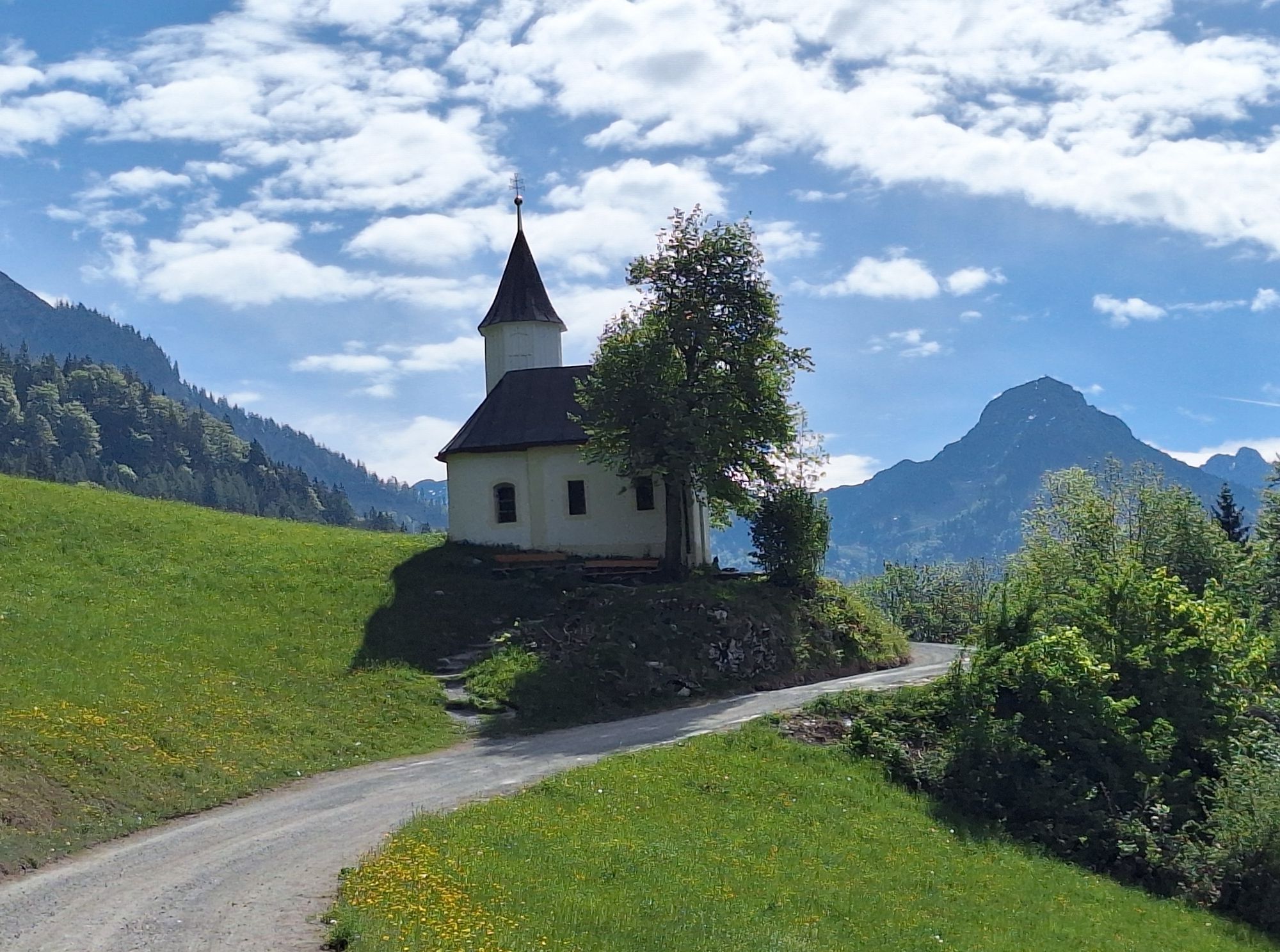
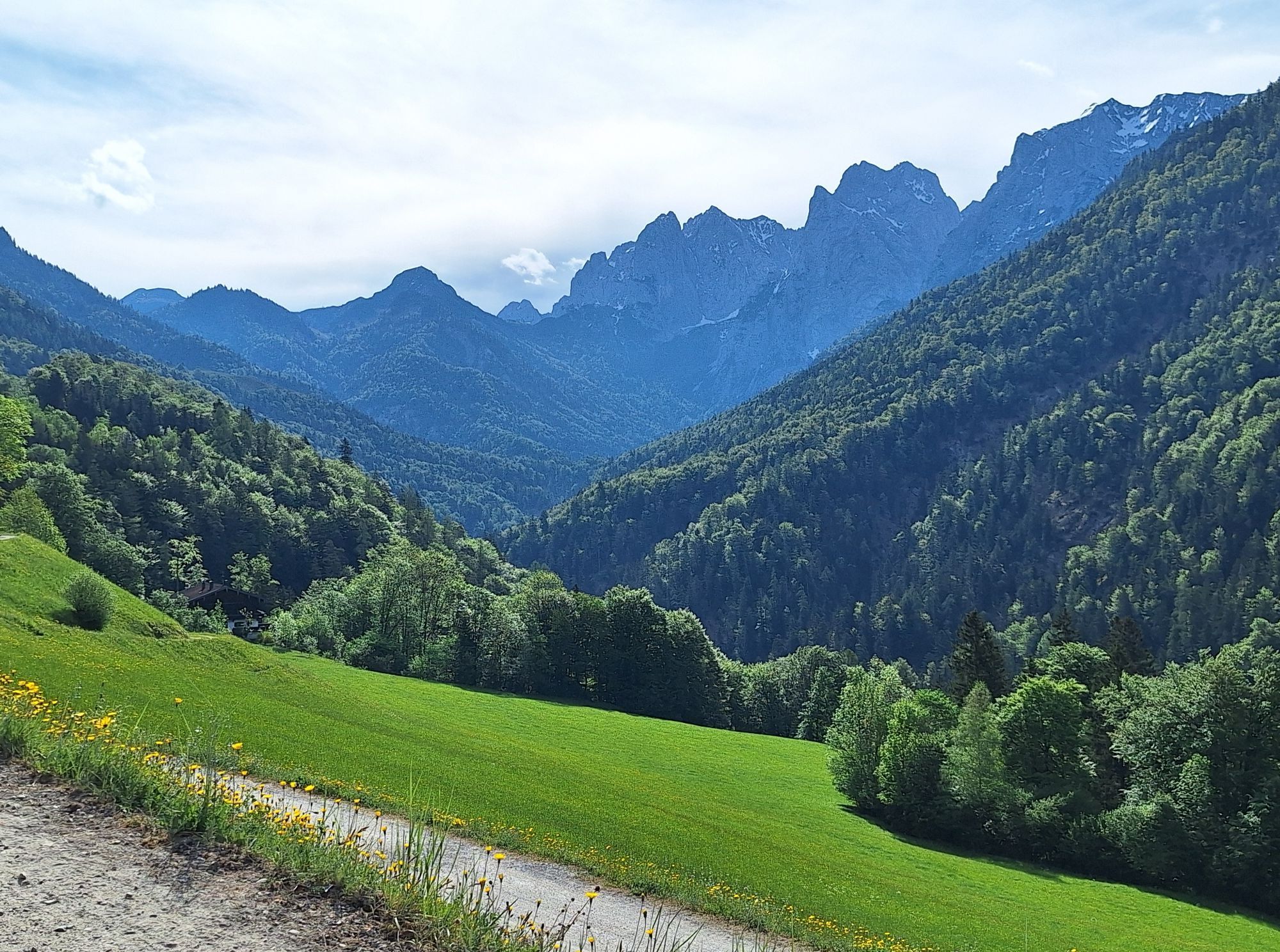
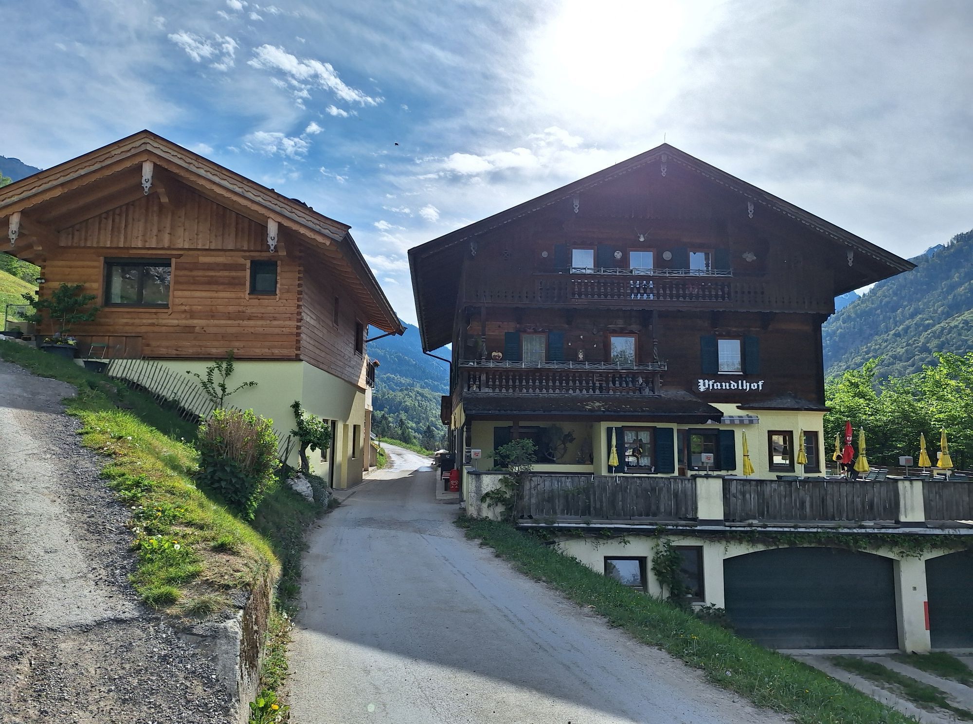
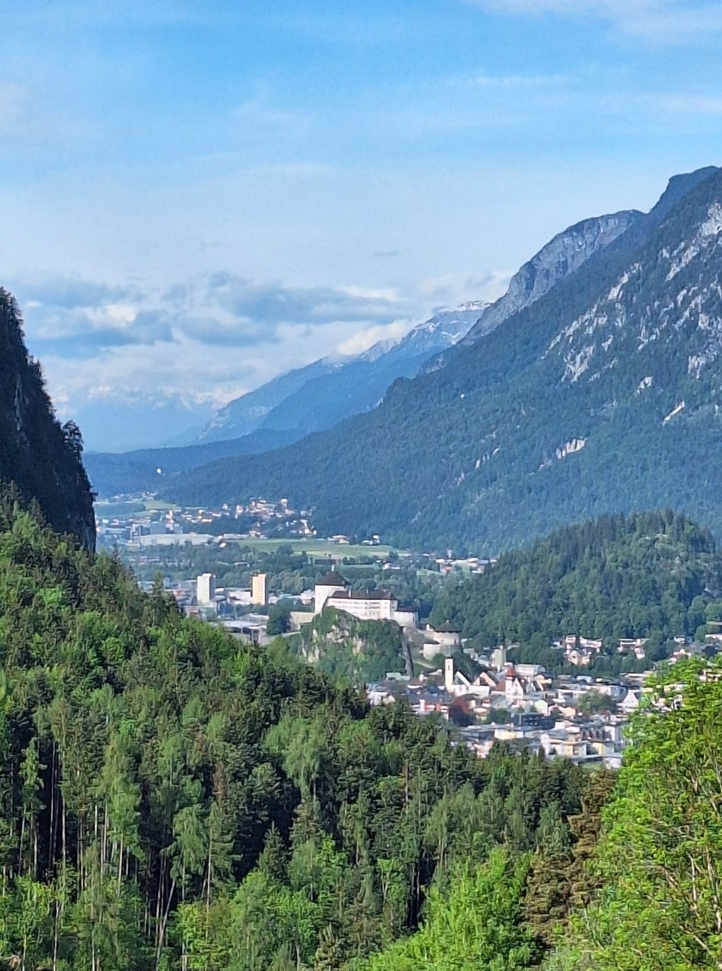
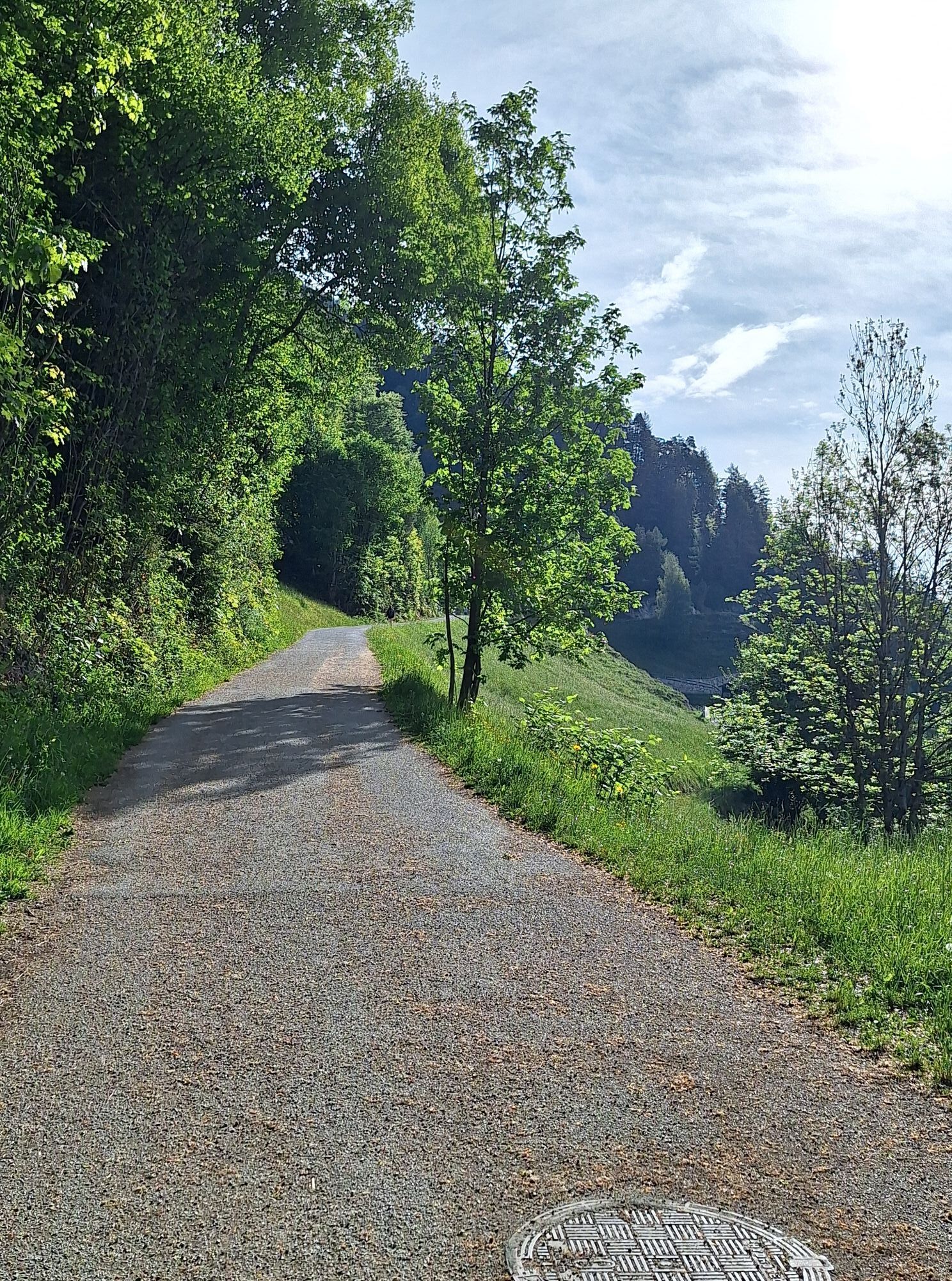

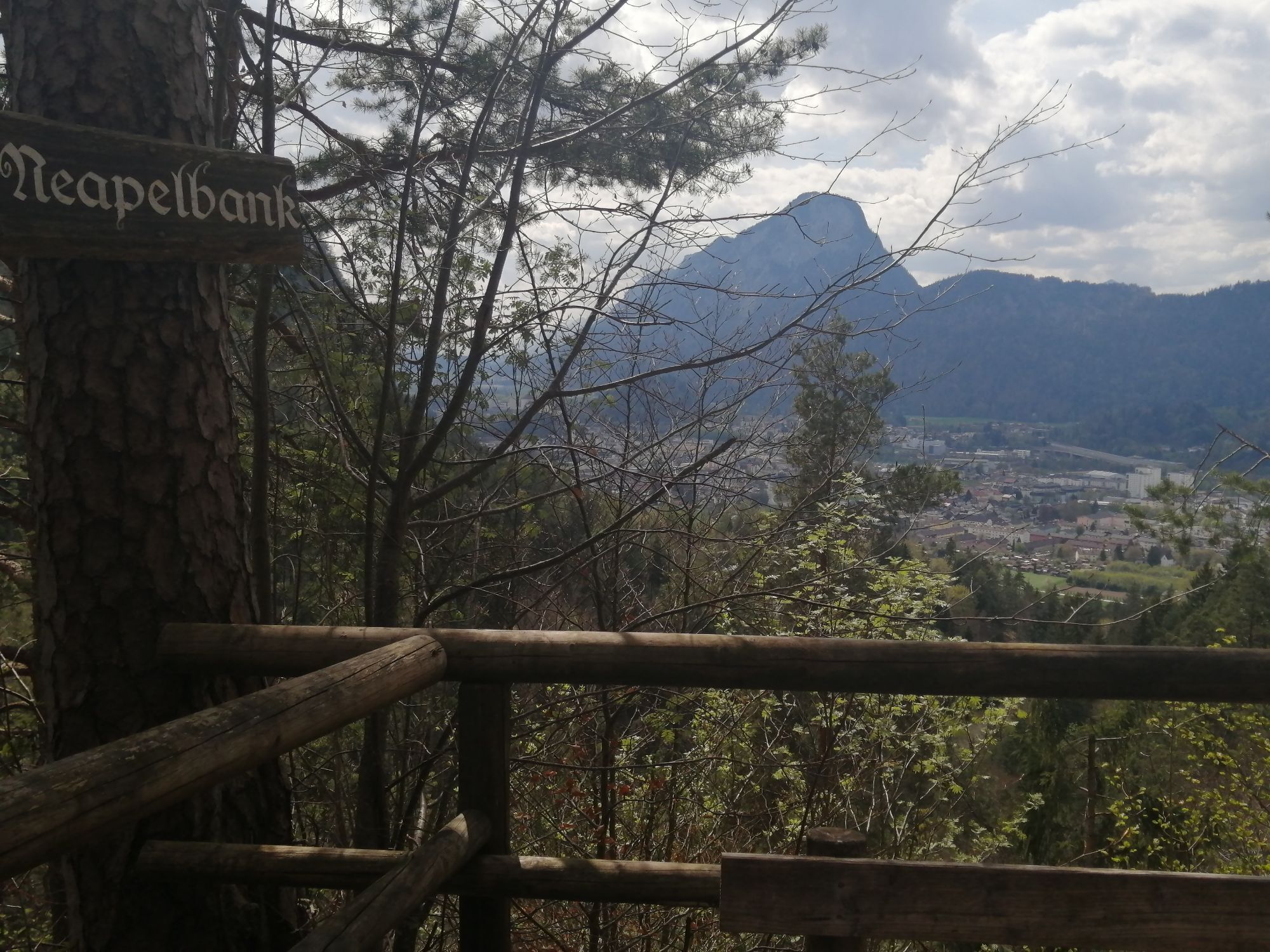
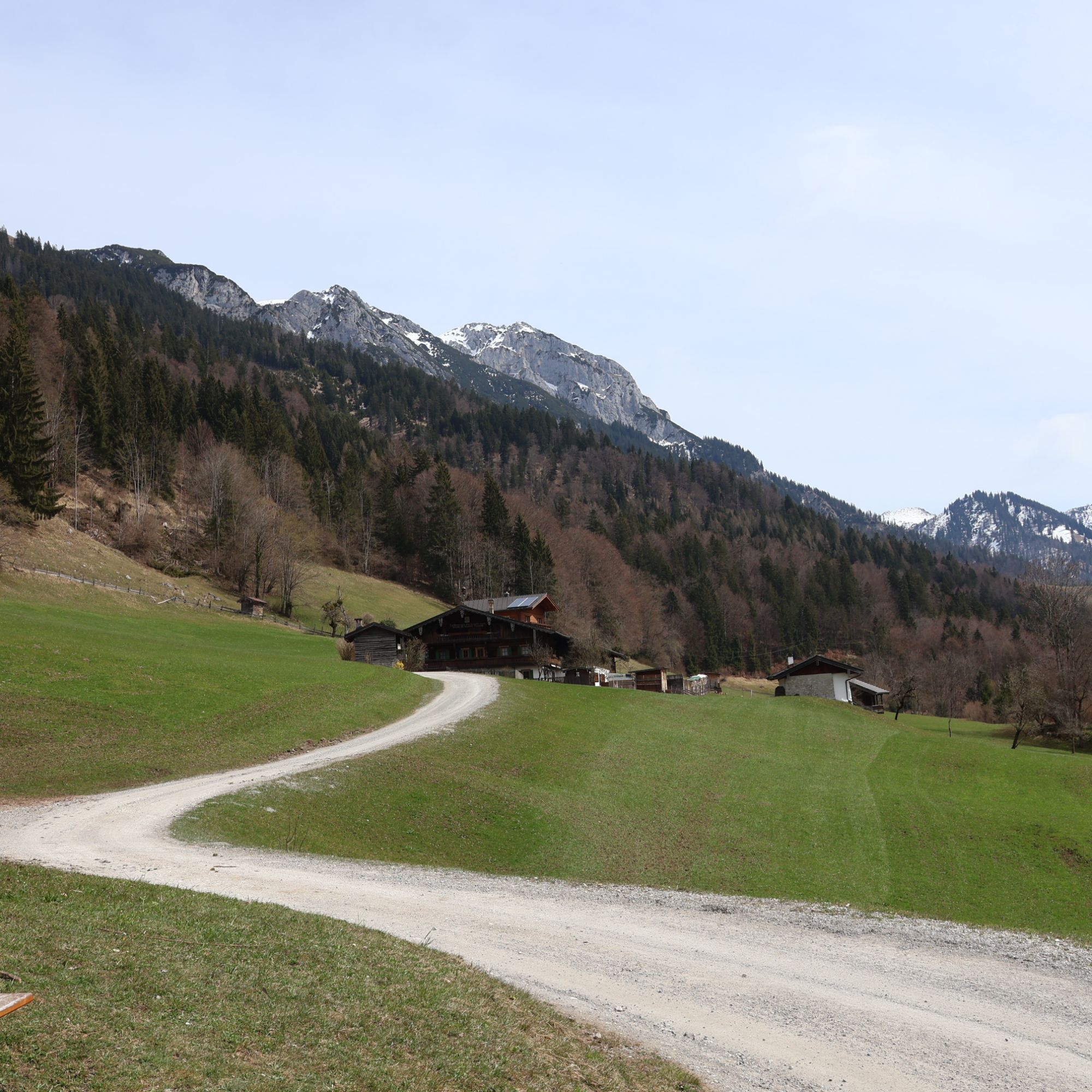
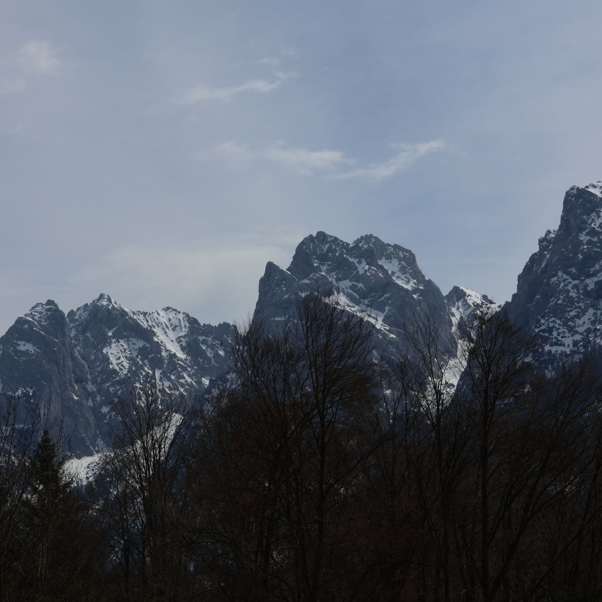
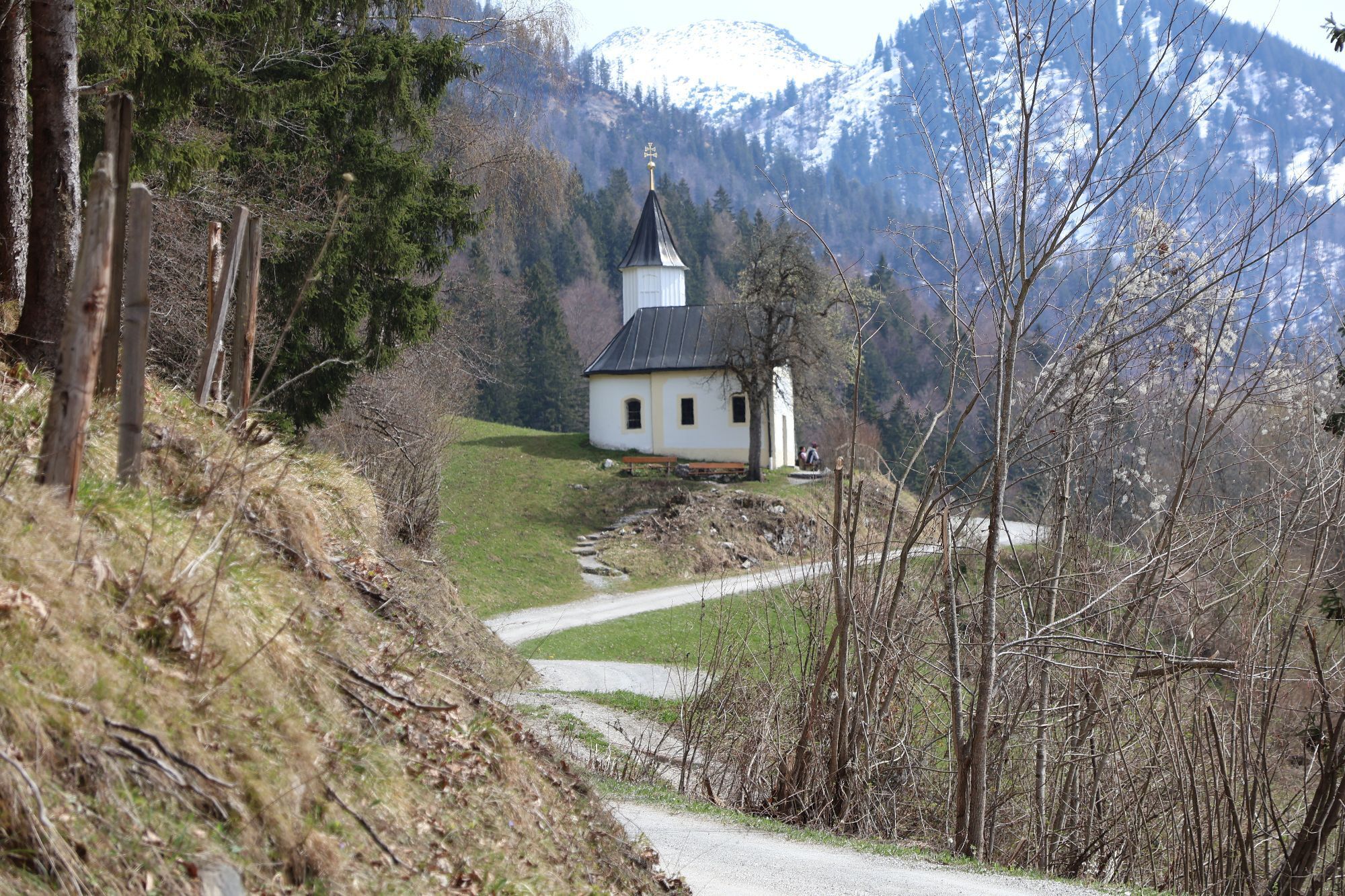

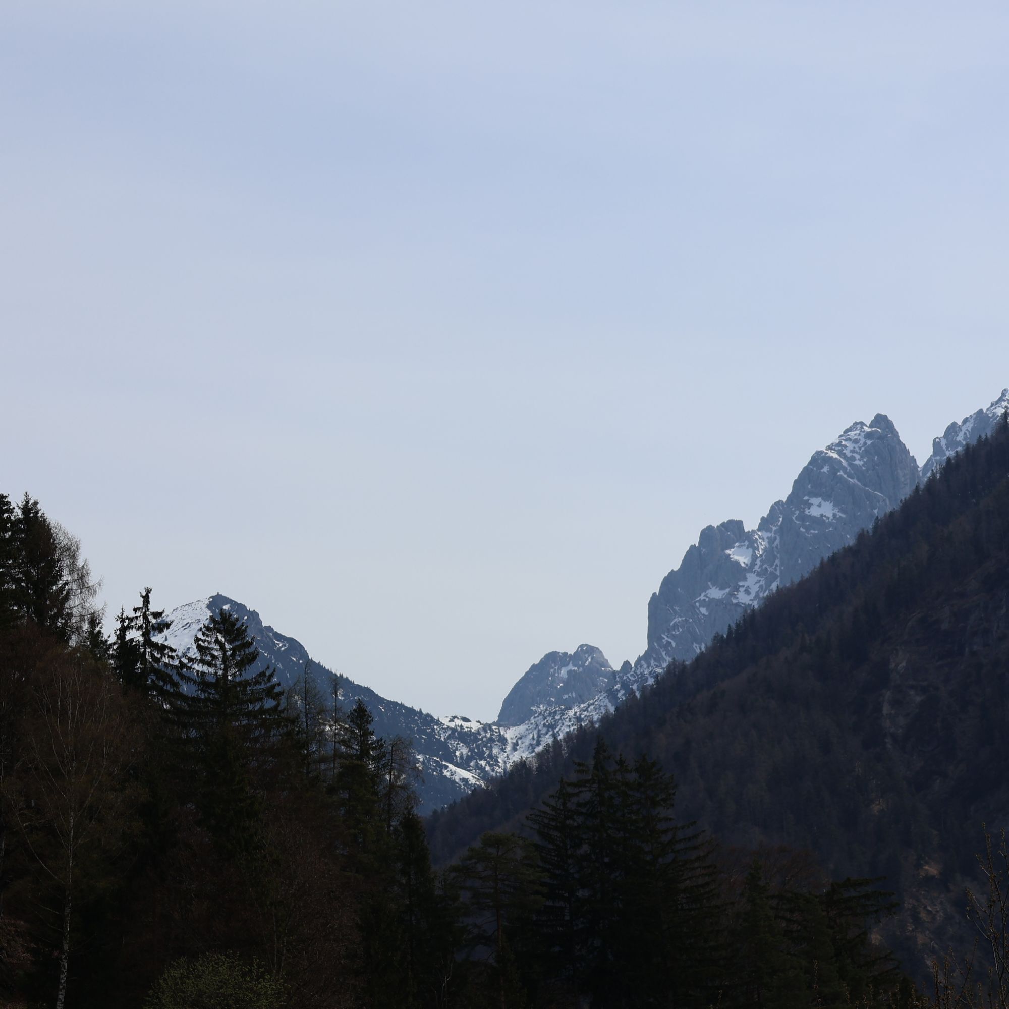
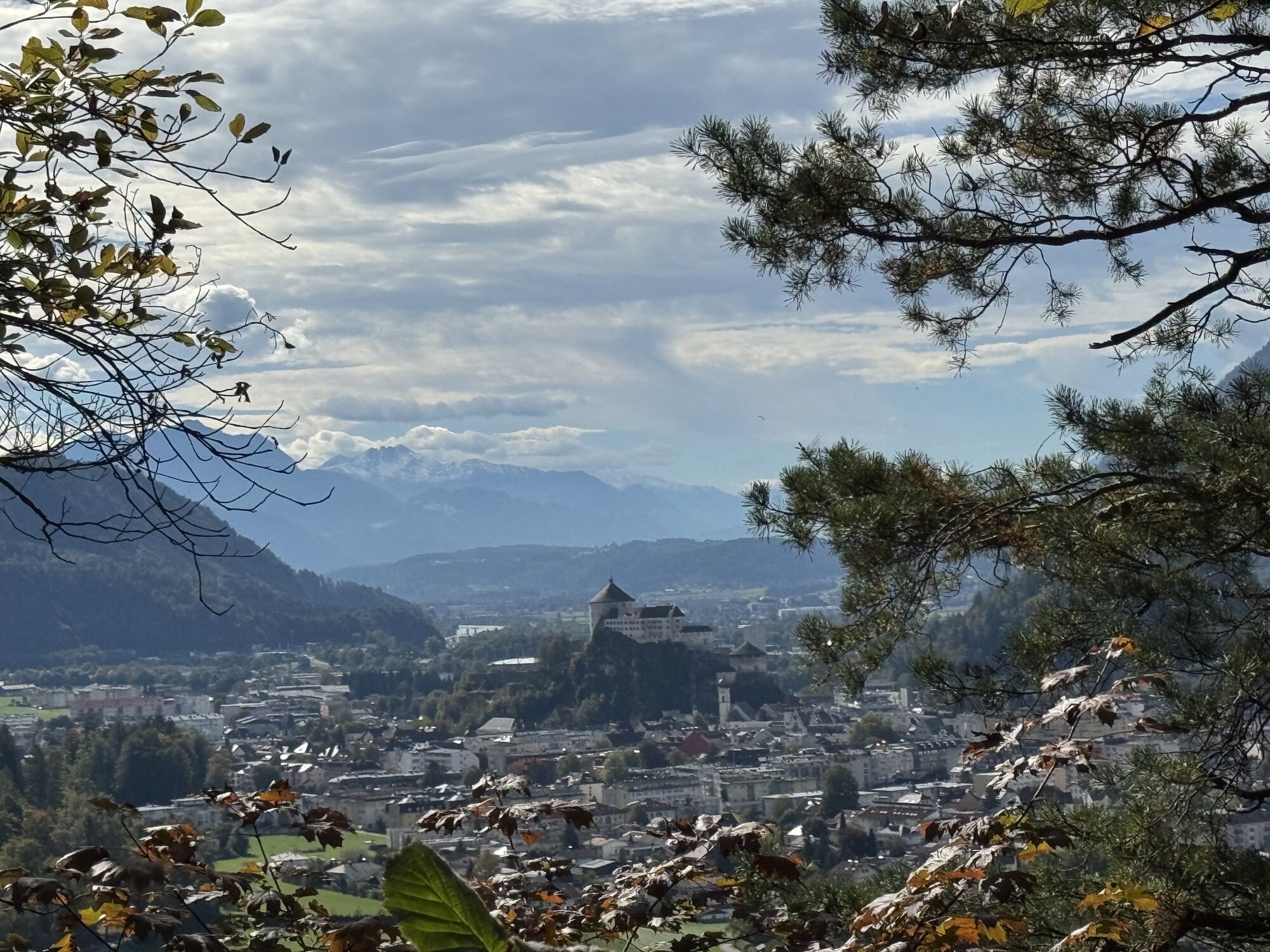
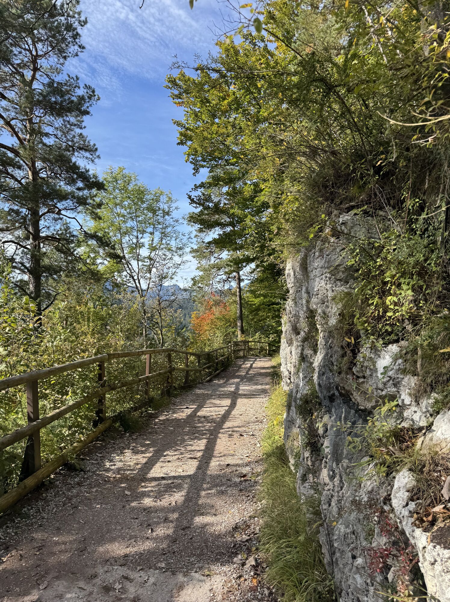
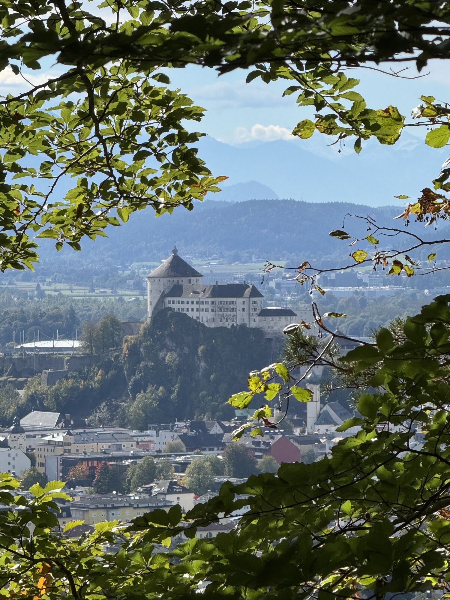
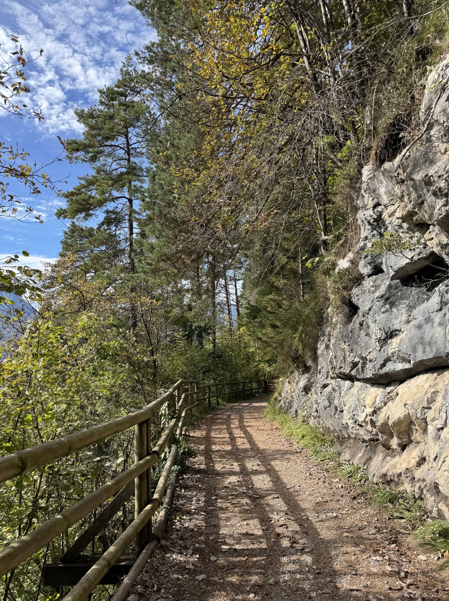
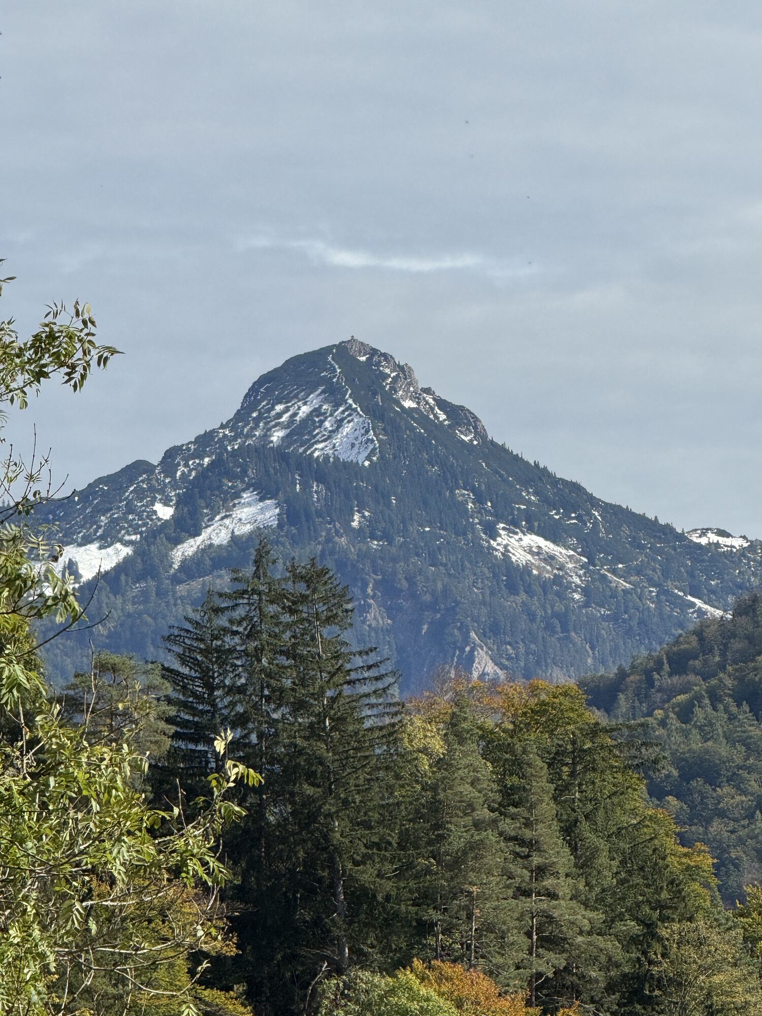
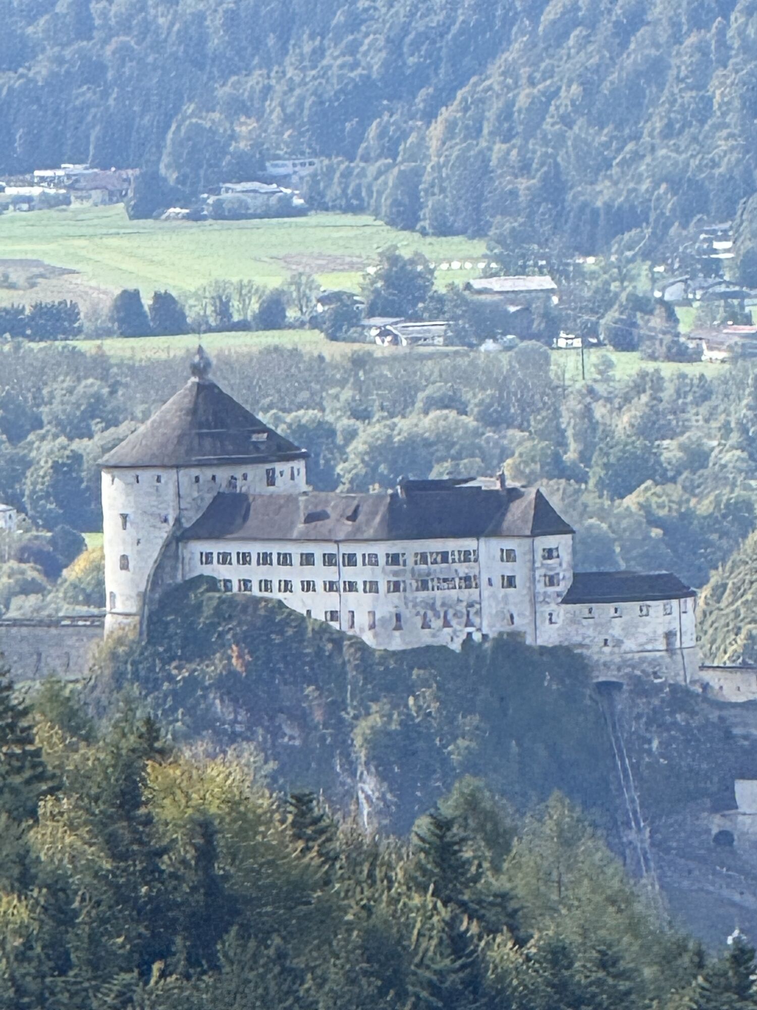
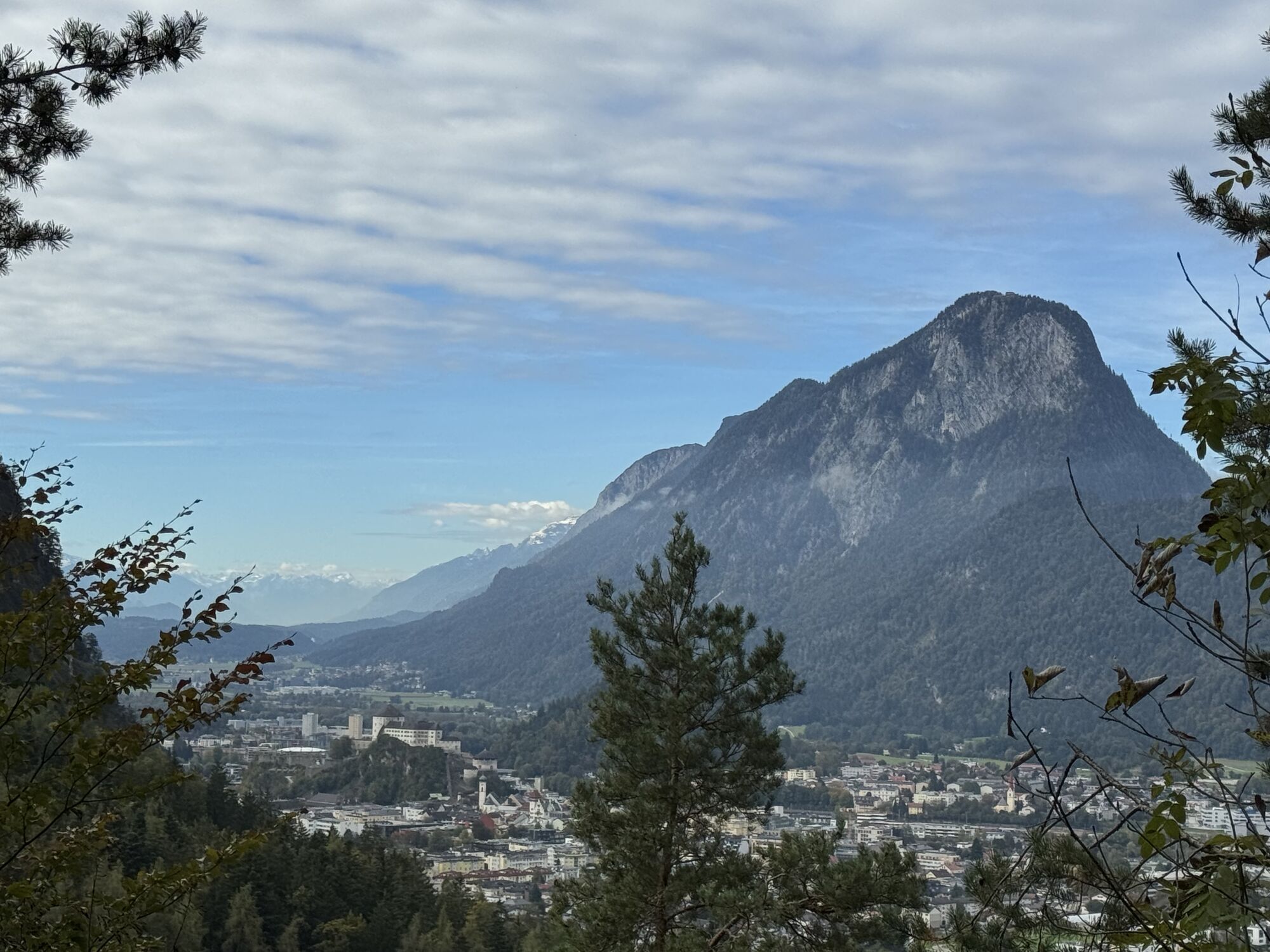
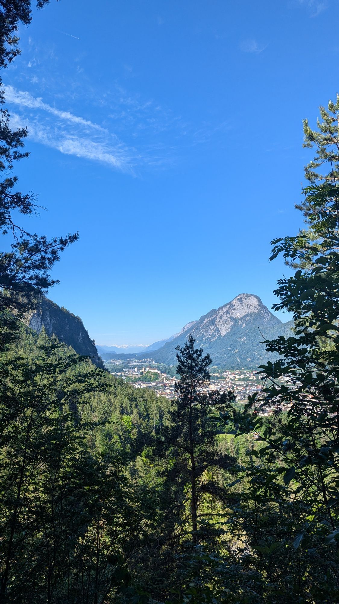
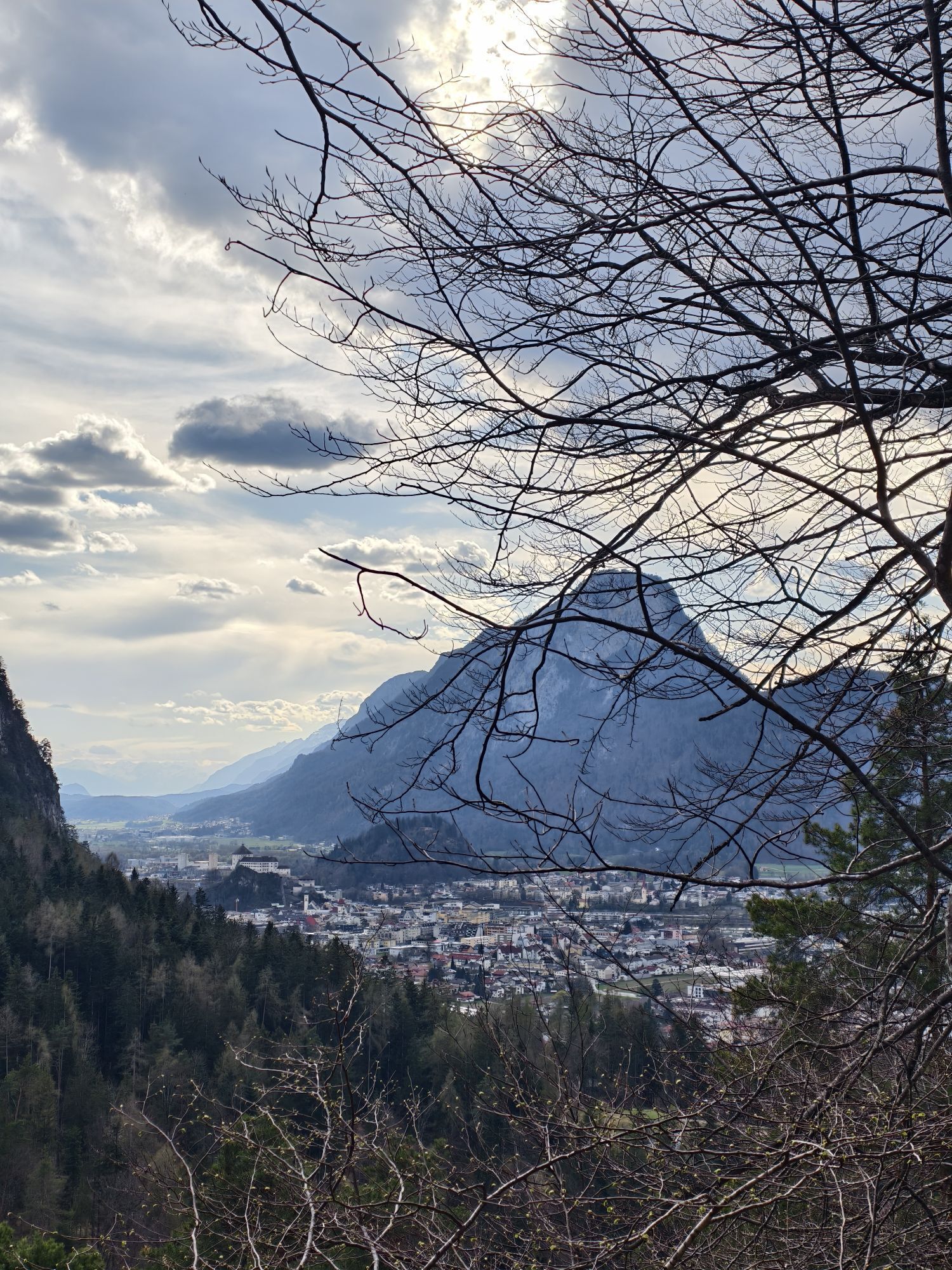
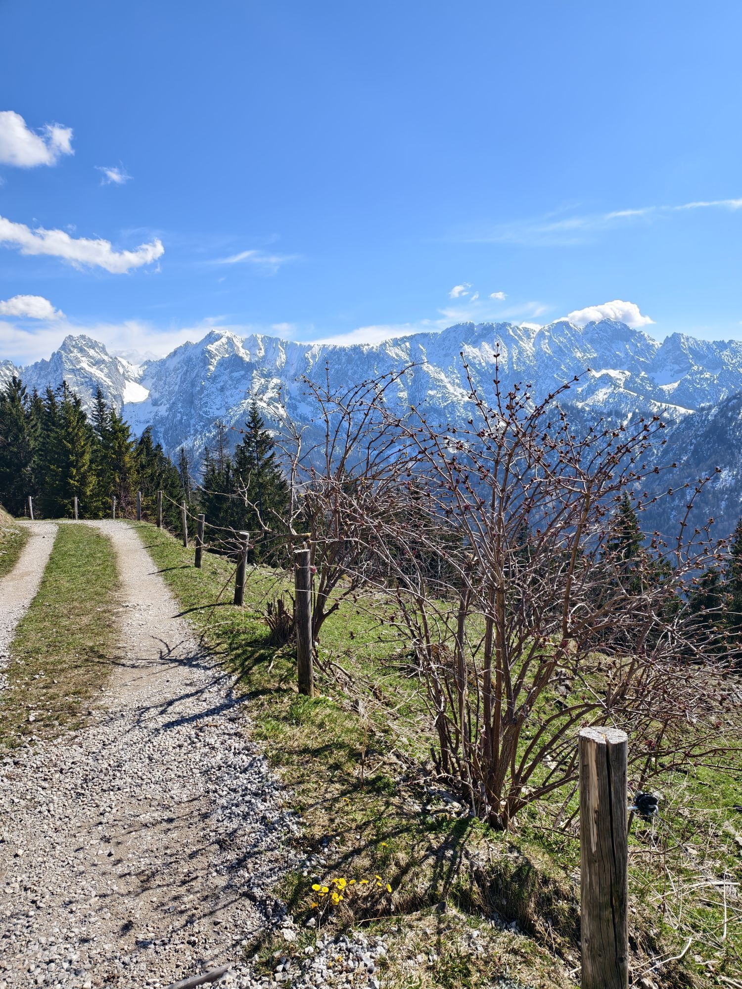
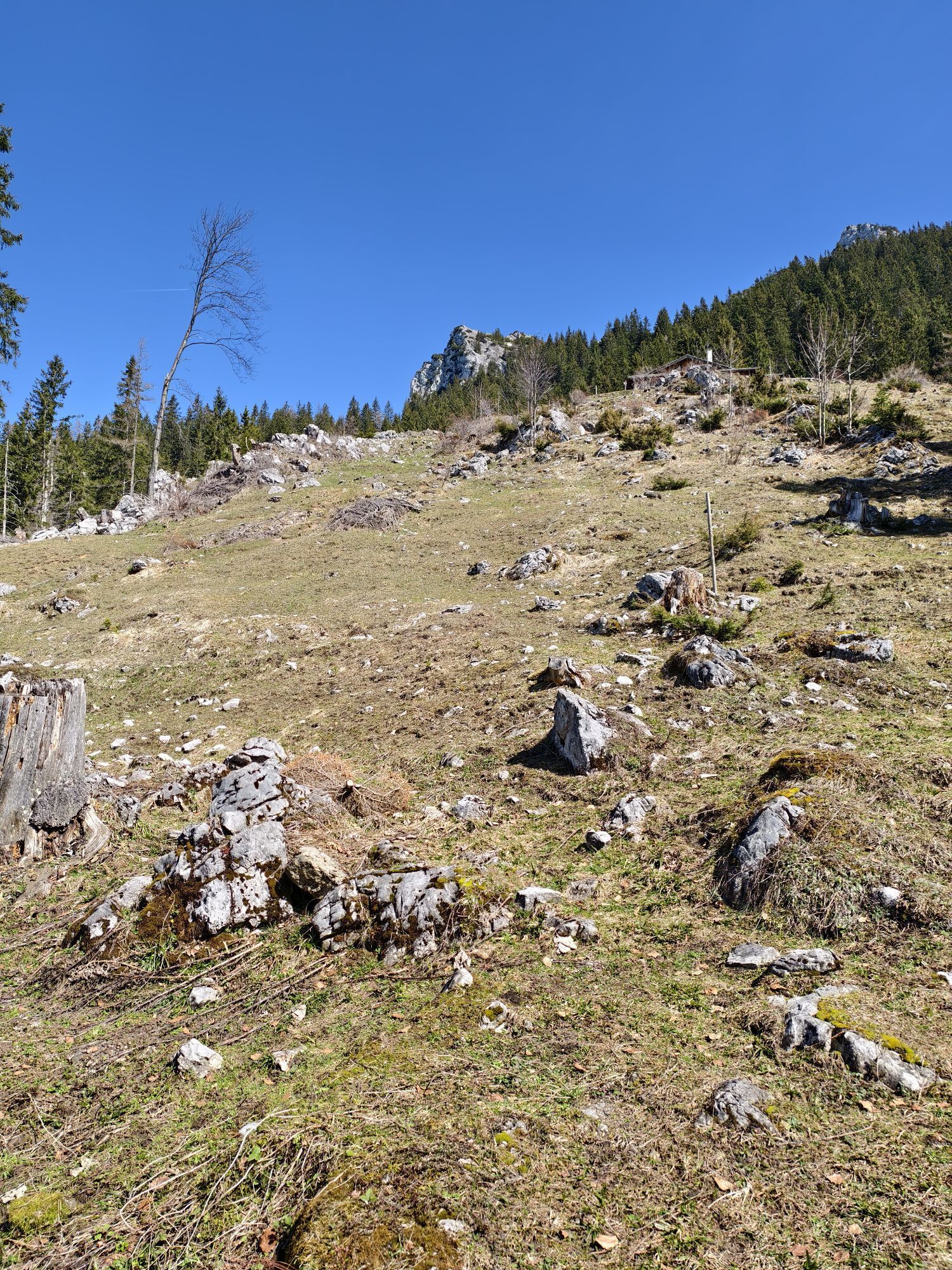
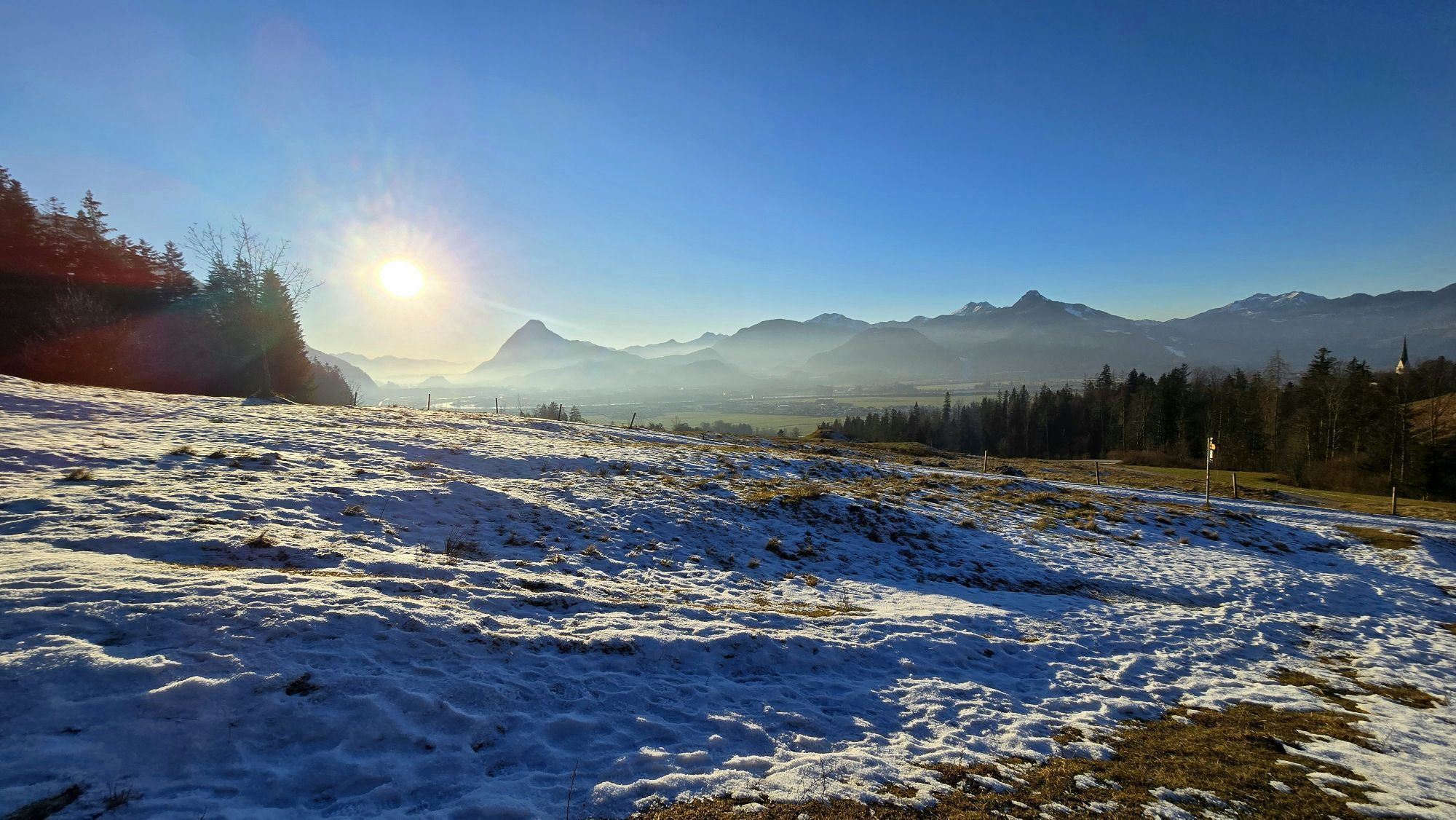
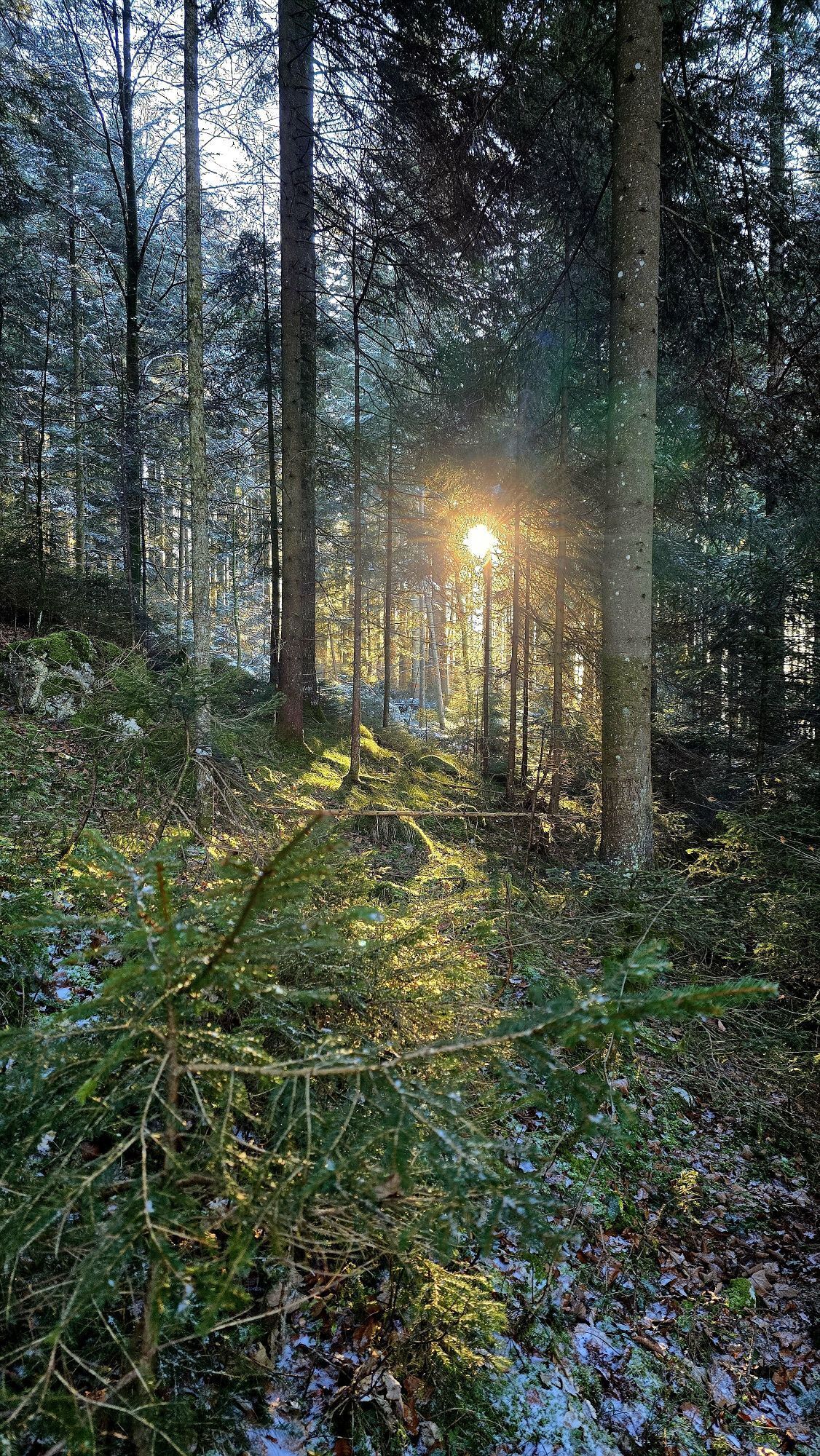
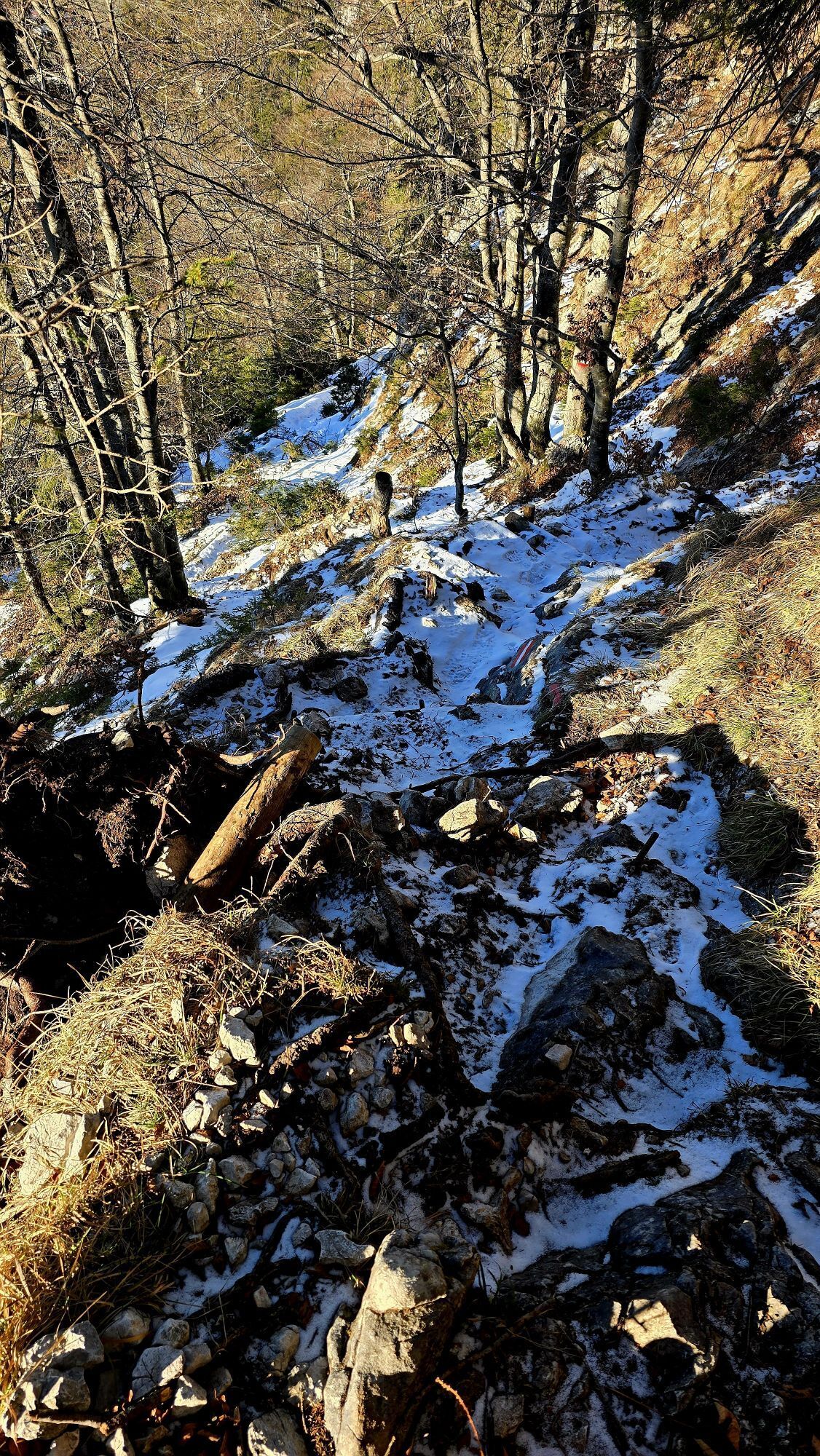
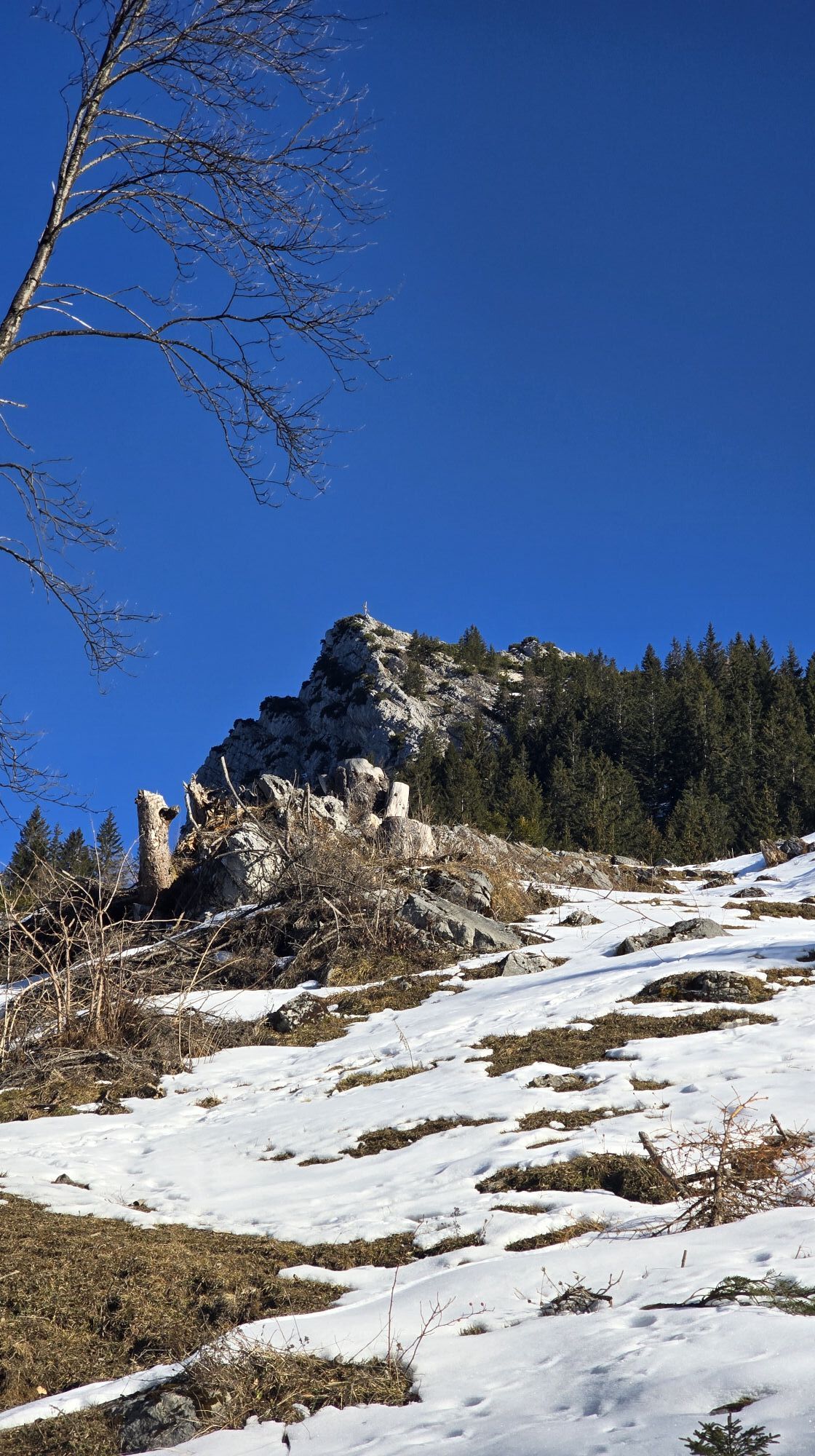
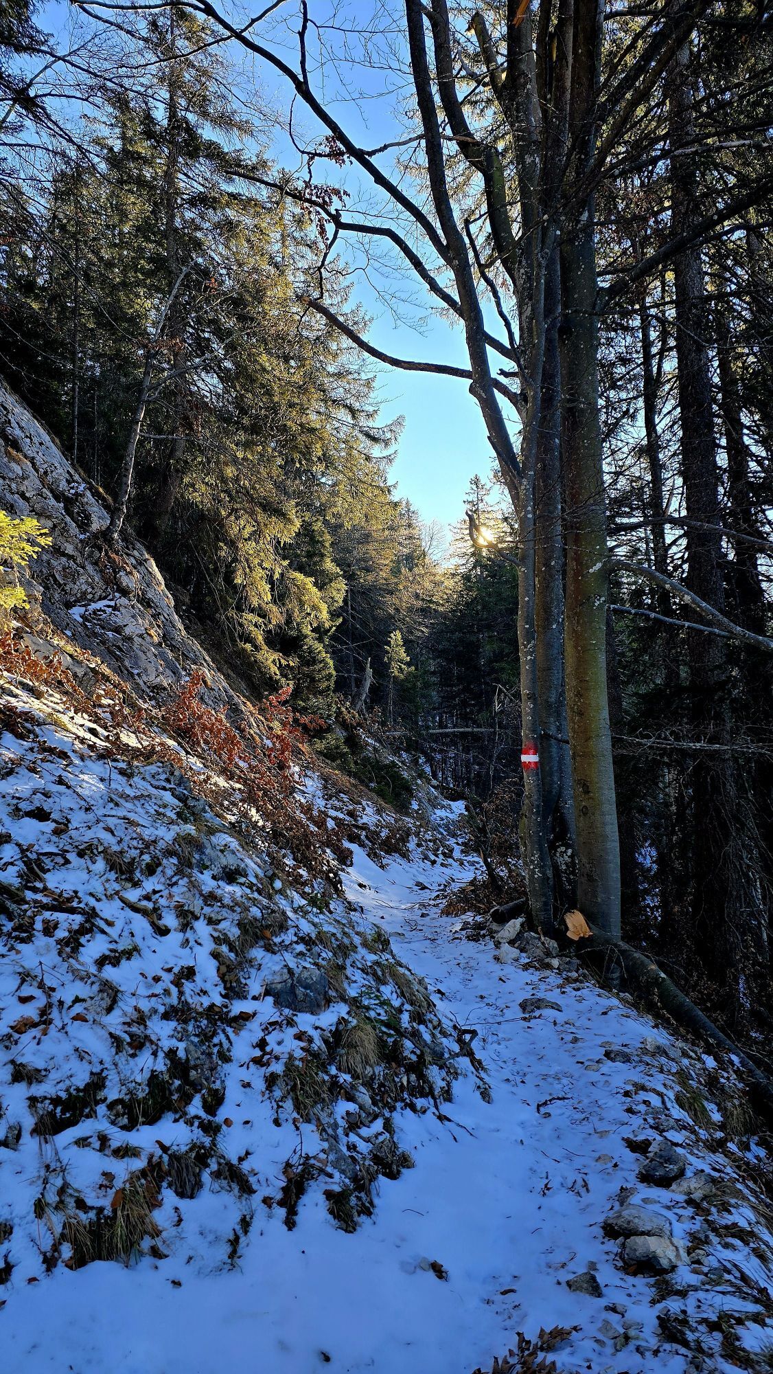
Up the mountain. A real highlight with a beautiful route through the nature reserve of the Zahmen Kaiser. Over the Musikantensteig it goes from Ebbs to the Vorderkaiserfeldenhütte. Almost 1.000 hm on the...
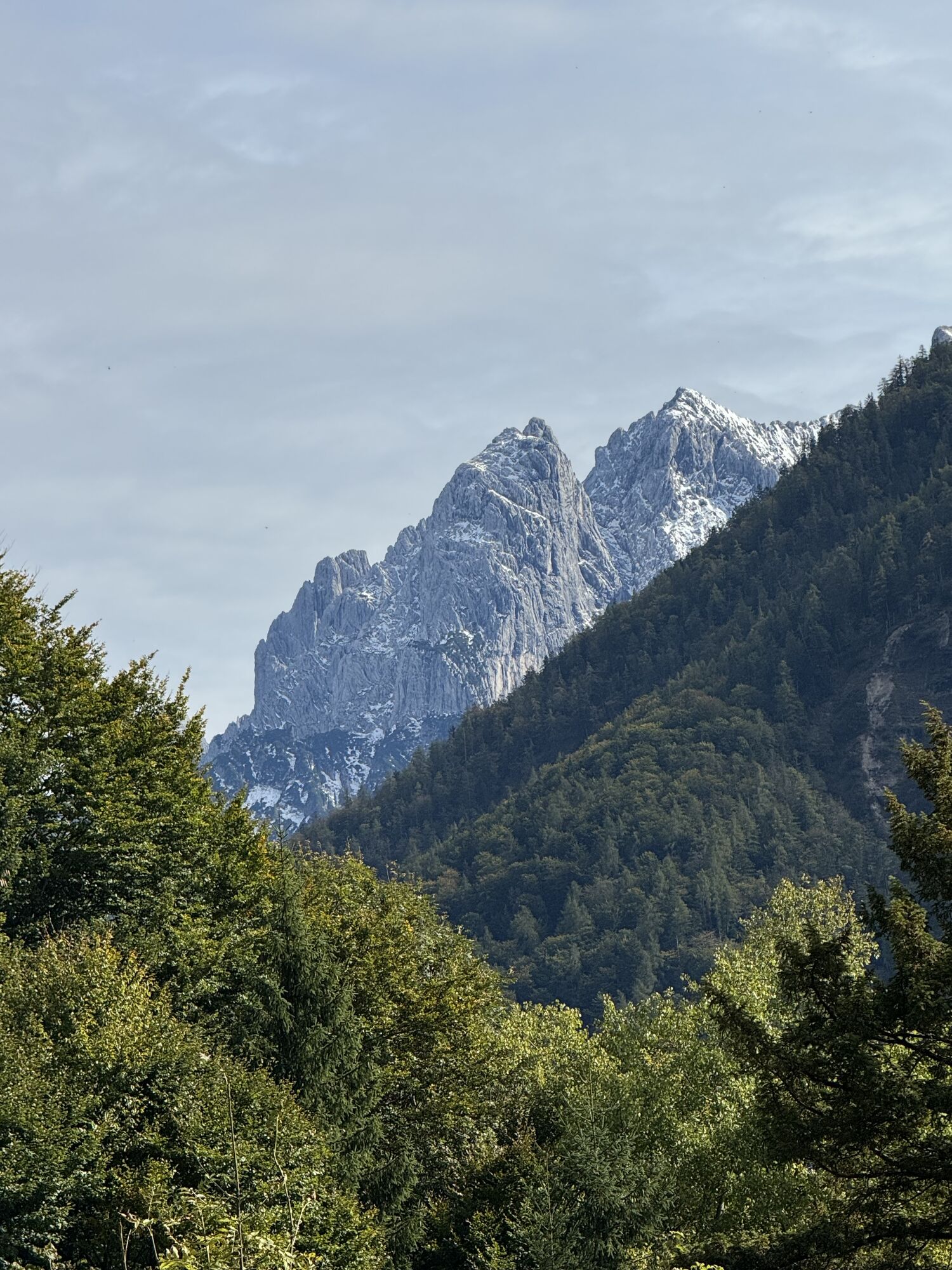
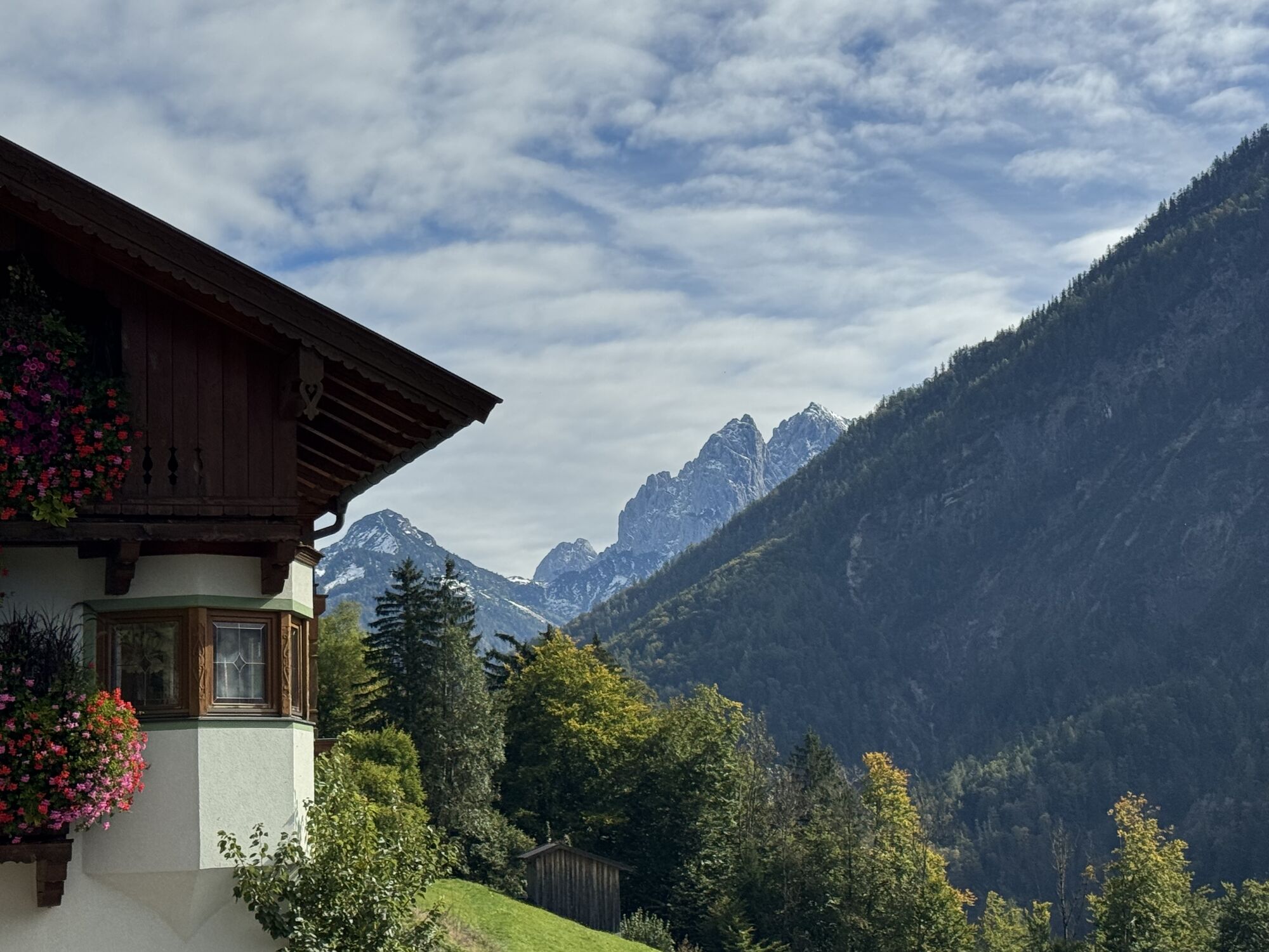
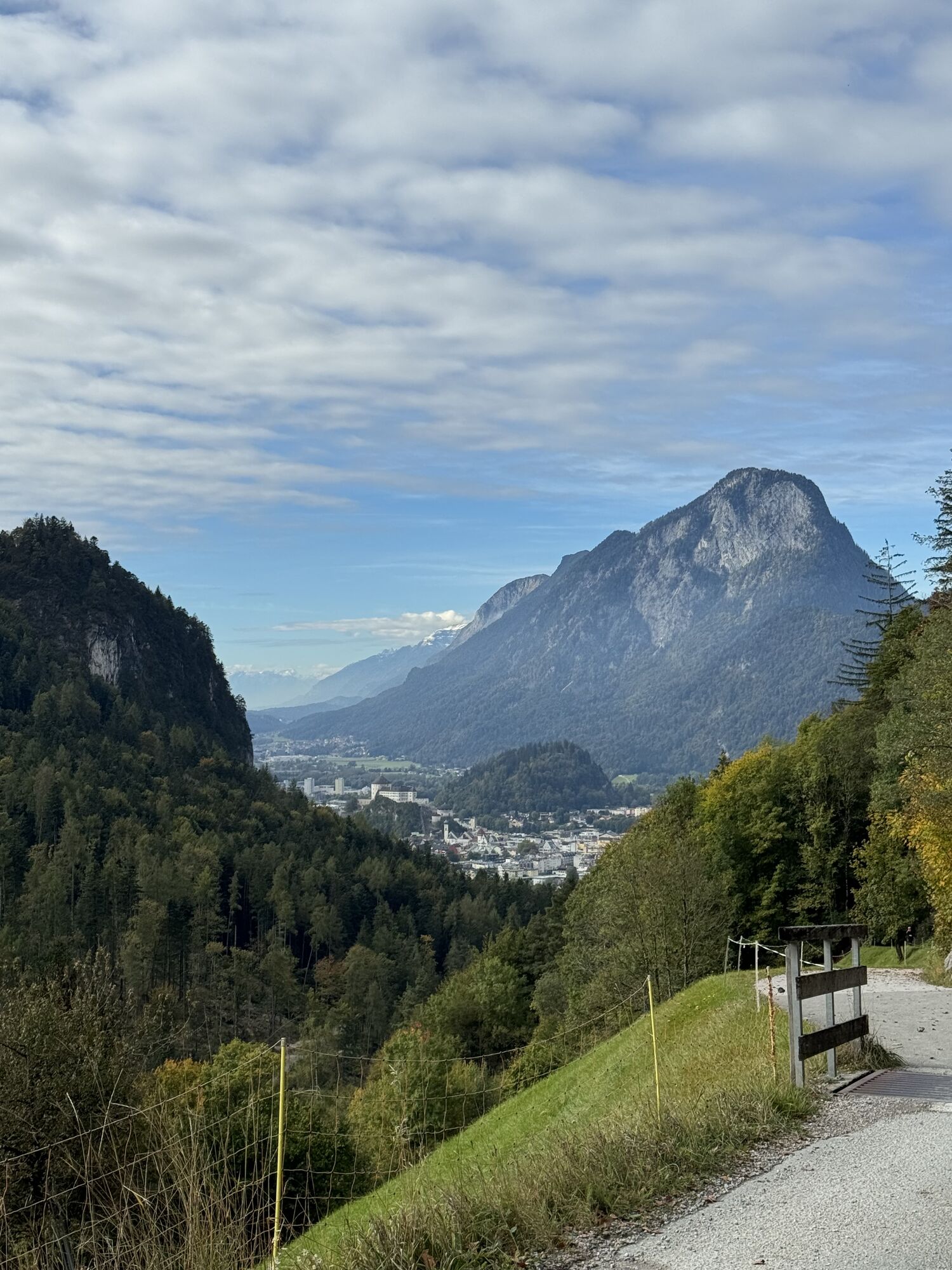
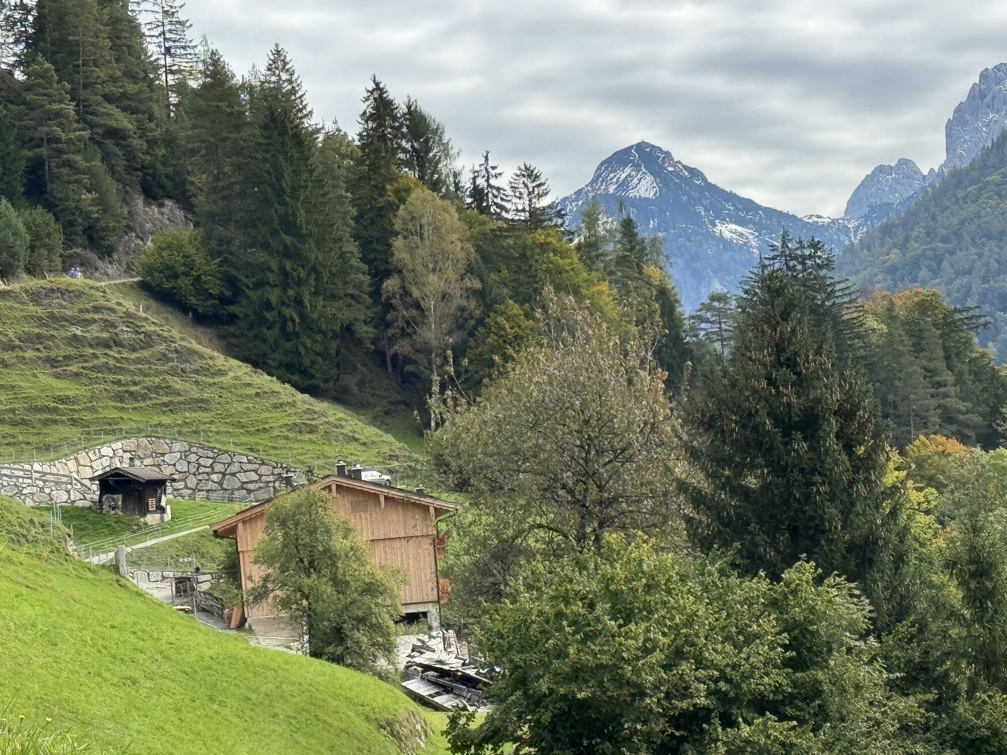
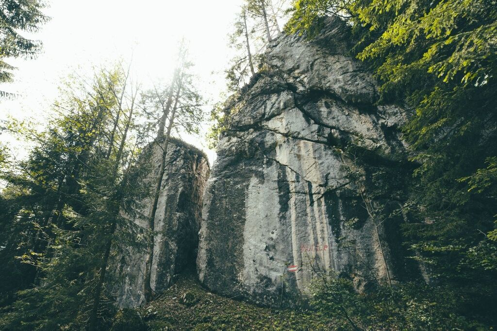
Up the mountain. A real highlight with a beautiful route through the nature reserve of the Zahmen Kaiser. Over the Musikantensteig it goes from Ebbs to the Vorderkaiserfeldenhütte. Almost 1.000 hm on the first 5,2 km! The view takes your breath away. From there, you can follow a rooted trail through the forest and past the mystical "Höll".
View route flyover here.

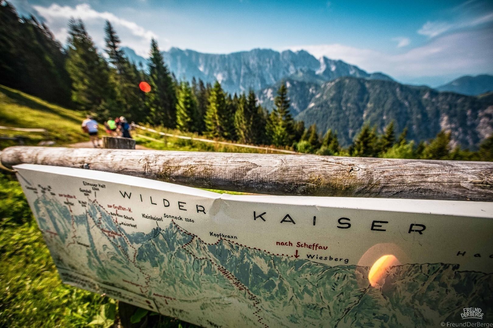
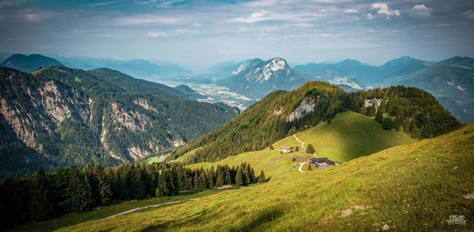

Snacks (e.g. fruit, muesli bars, wholemeal breads) and drinks (allow for sufficient liquid),
First aid kit cell phone with full battery,
Hiking map and guide literature,
Sun protection (sunscreen and glasses, cap).
From the Inntal motorway A12 take the Niederndorf/Oberaudorf exit.
From Kufstein, take bus line 4030 in the direction of Ebbs and get off at the Ebbs Schulzentrum stop. With the KufsteinerlandCard within the region bus free of charge.
Community office or church square, free of charge.


Oblíbené prohlídky v okolí
-
4.9
Kirchdorf: Kaiserbachtal - Stripsenkopf und Feldberg
heavyTuristika 12.6 km -
4.9
Schleierwasserfall Runde
středníTuristika 5.63 km -
4.8
Gruttenhütte über Klammlweg
středníTuristika 5.61 km -
5.0
Priener Hütte
středníTuristika 7.99 km -
5.0
Kirchdorf: Stripsenjoch Klettersteige
heavyVia ferrata 3.76 km -
4.8
Stripsenjoch Klettersteige/ Rundwanderung von Griesener Alm über Stripsenjochhaus und Feldberg
středníVia ferrata 10.2 km -
4.8
Ellmauer Tor (22.07.2020)
středníTuristika 9.32 km -
4.8
Kössen - Wetterfahne - Naringalm - Kössen
středníTuristika 11.0 km -
4.8
Rehbachklamm
středníTuristika 7.27 km -
4.7
Musikantensteig zur Naunspitze
středníTuristika 8.96 km
Pěší turistika a stopování


Nenechte si ujít nabídky a inspiraci pro vaši příští dovolenou
Vaše e-mailová adresa byl přidán do poštovního seznamu.





