






Kaiseralm round hike

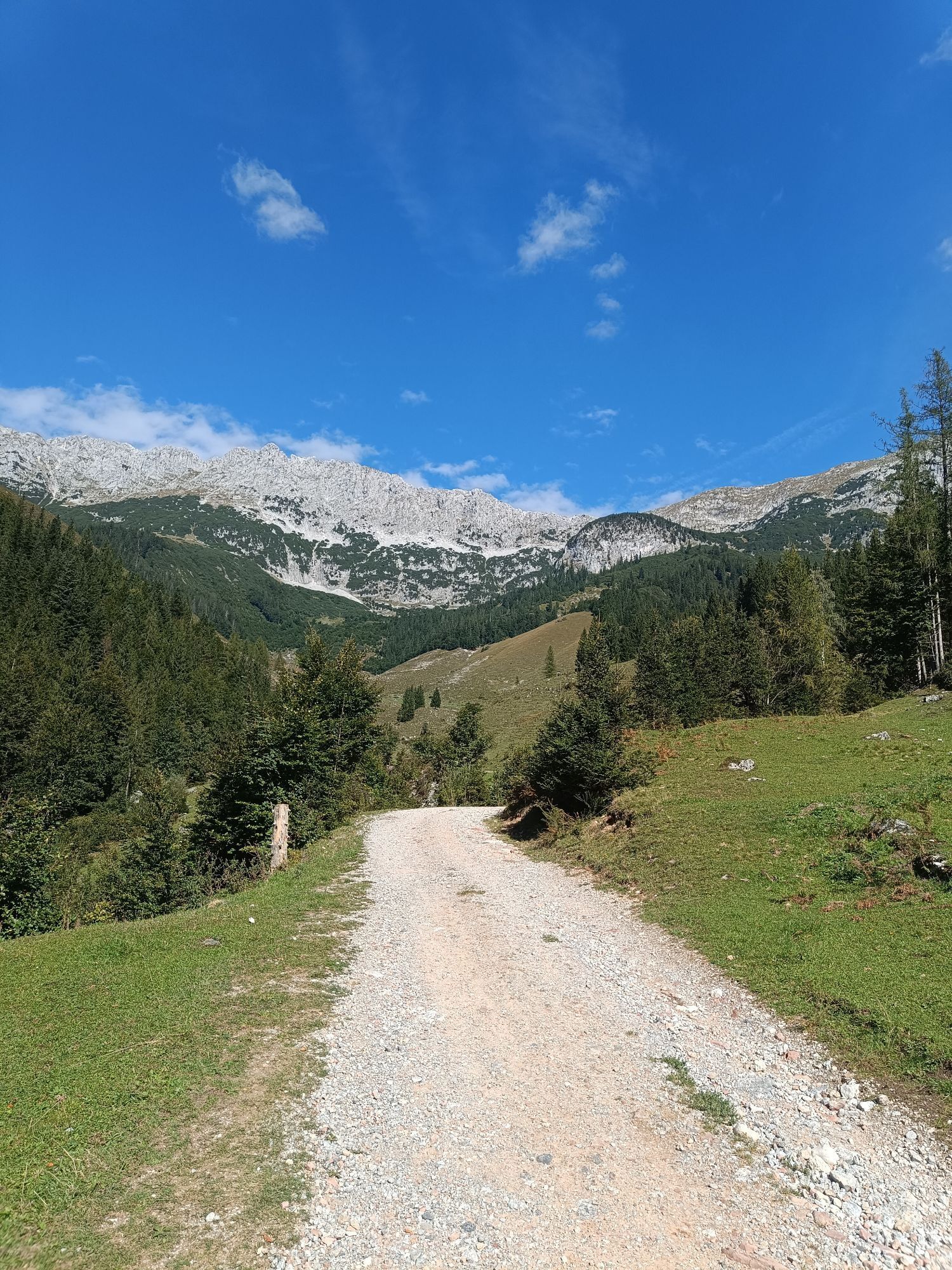
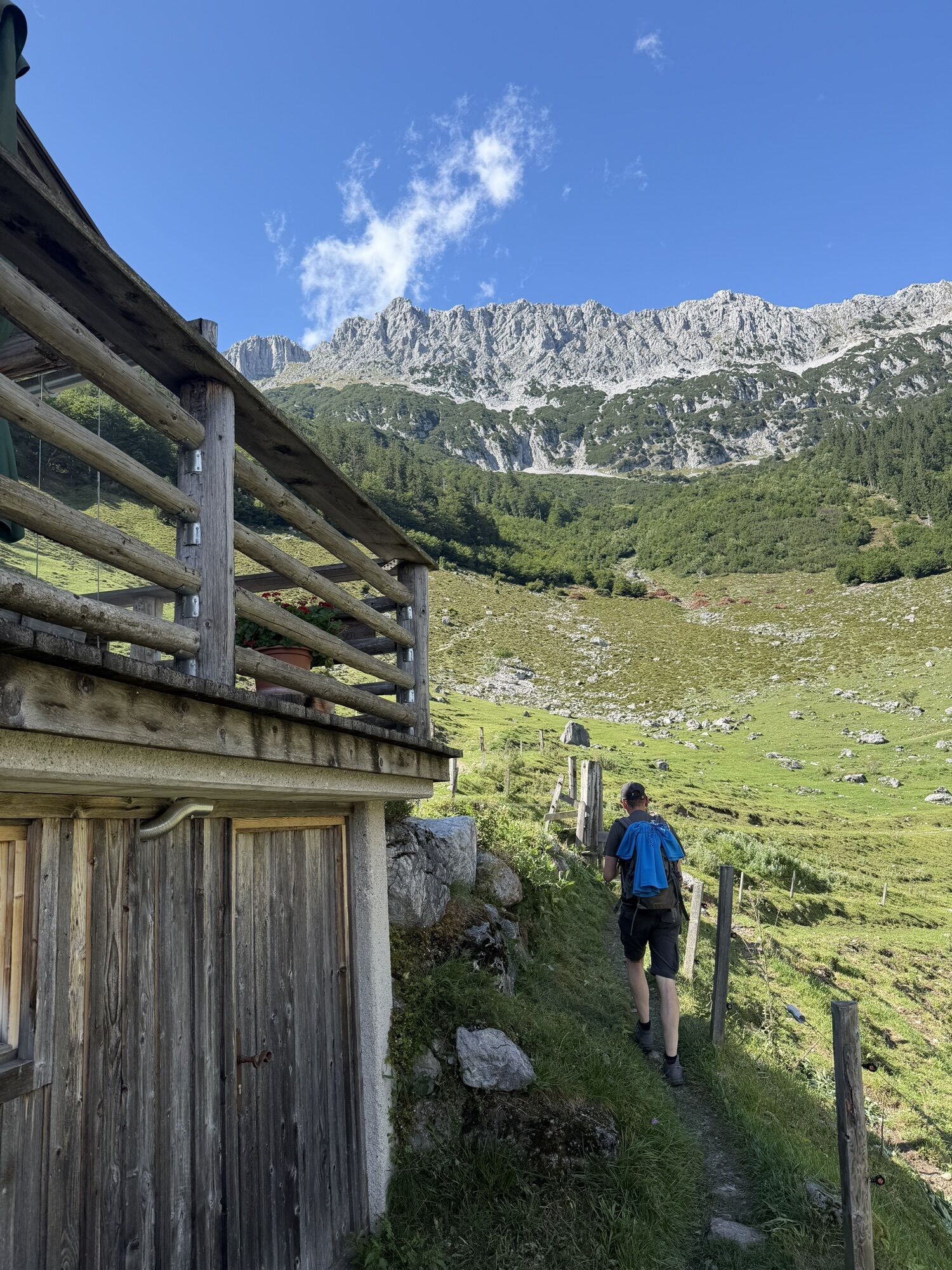
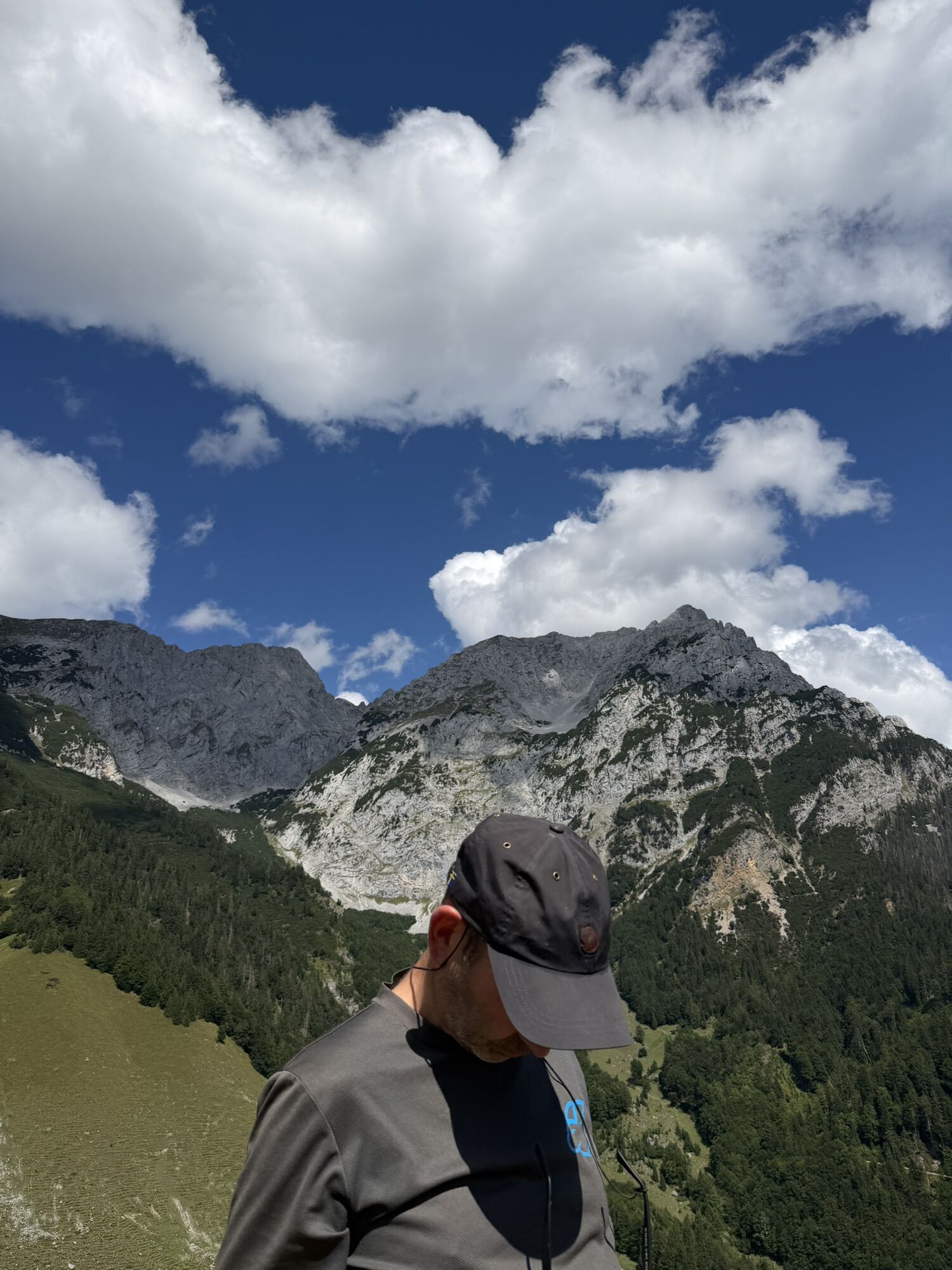
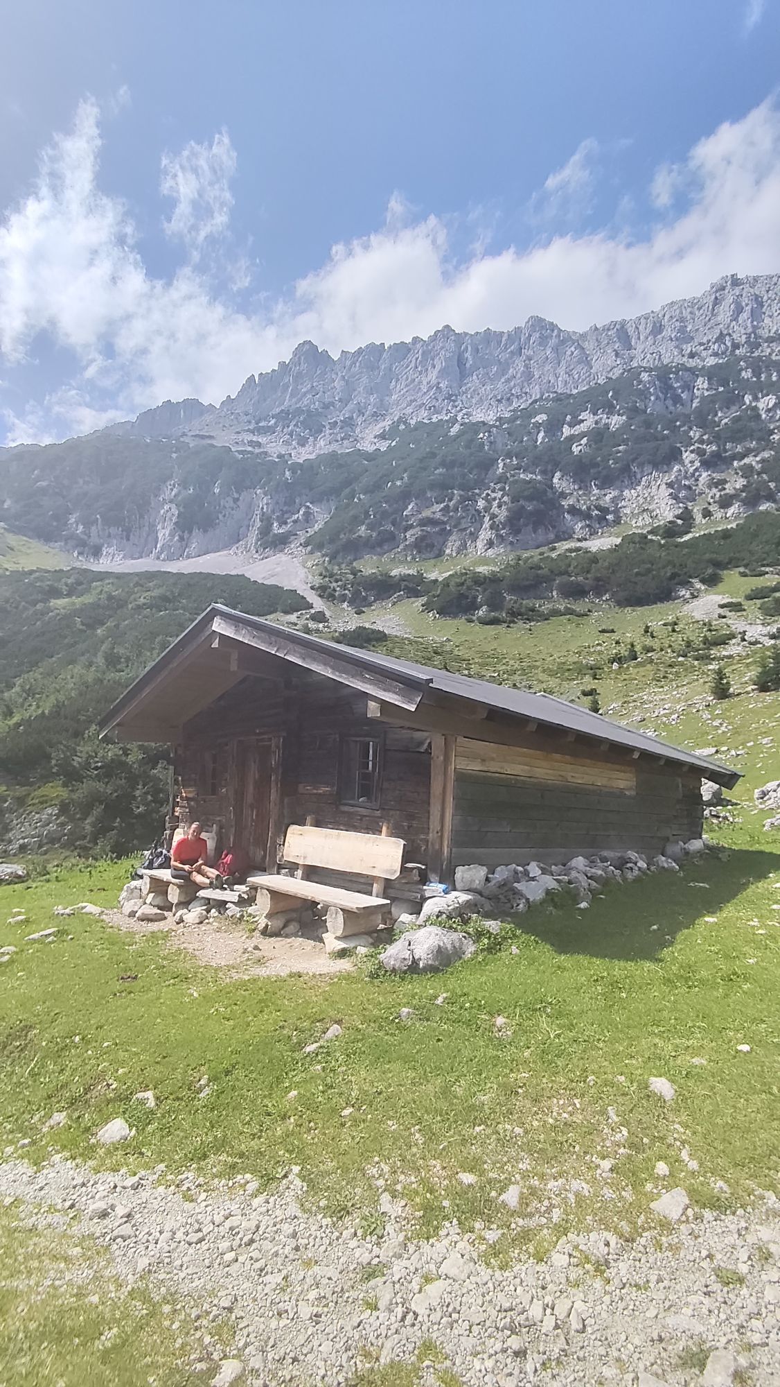
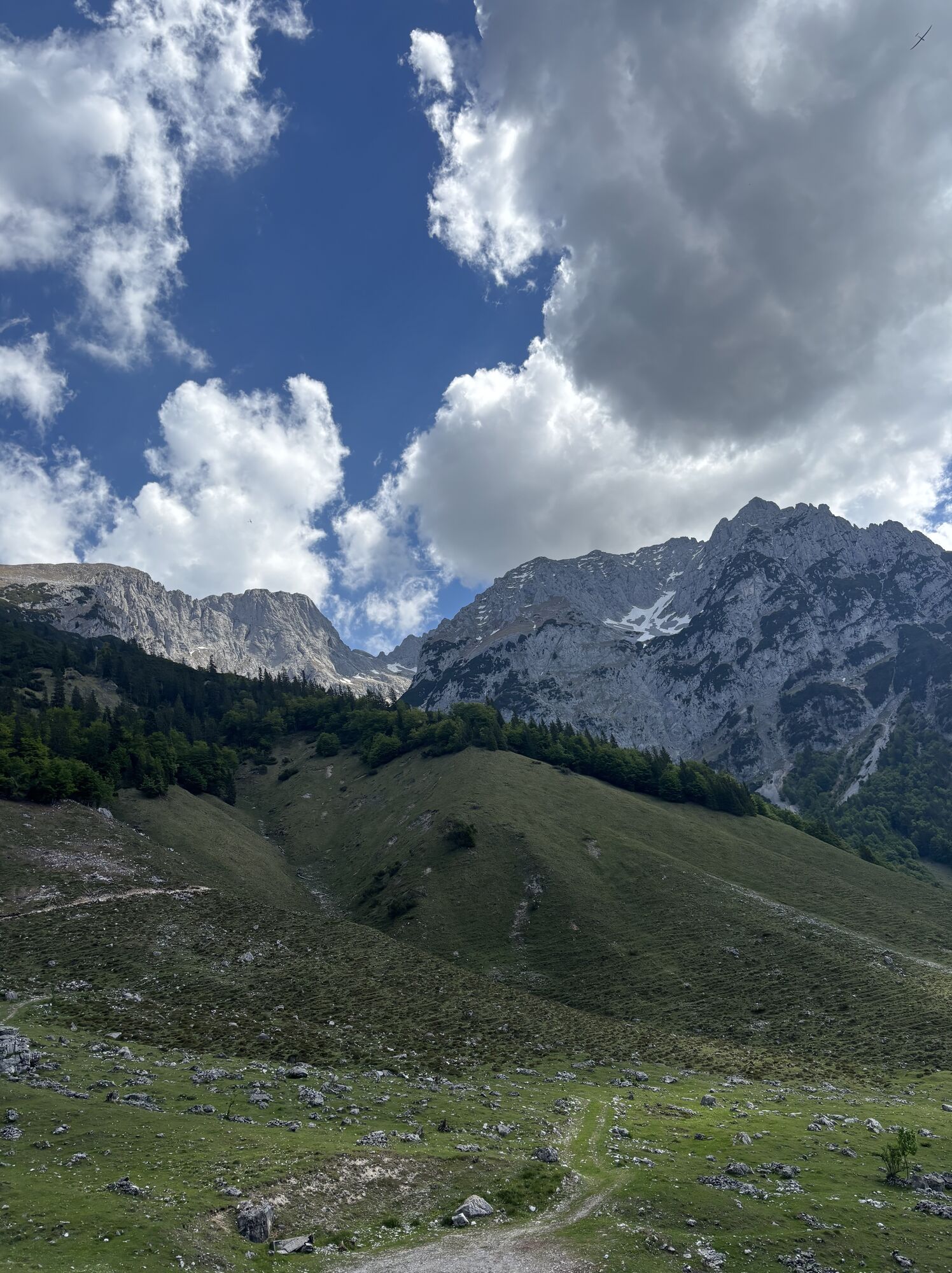
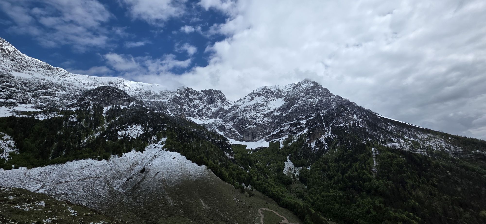
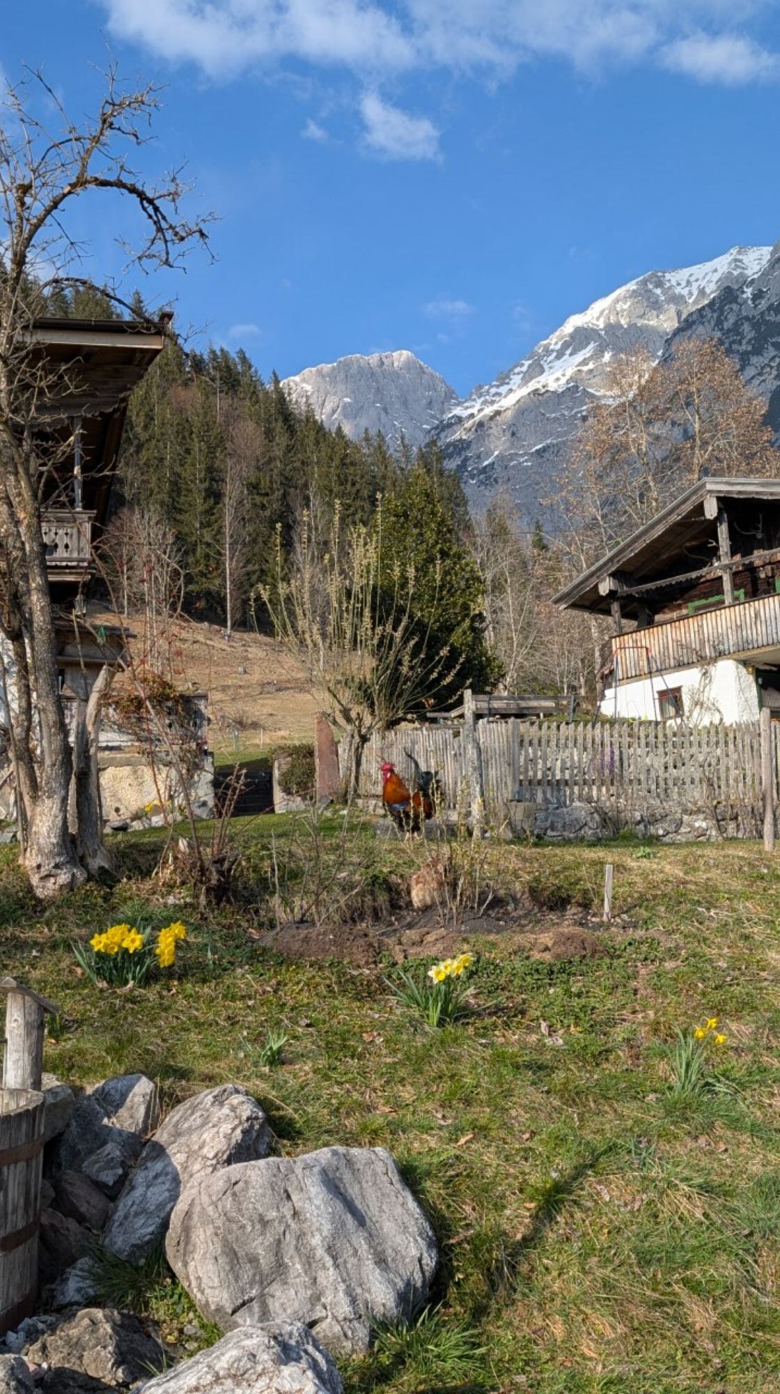
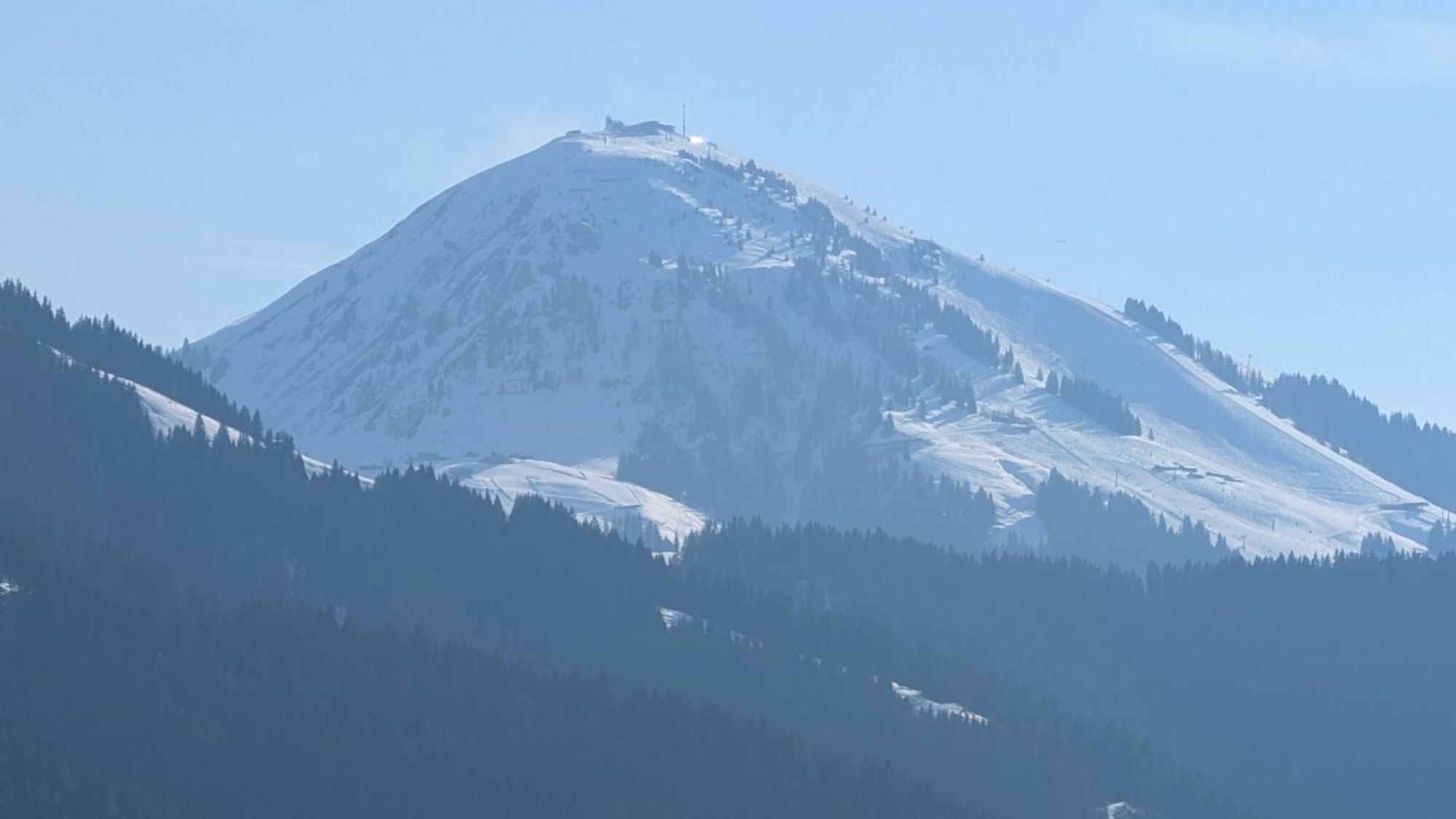
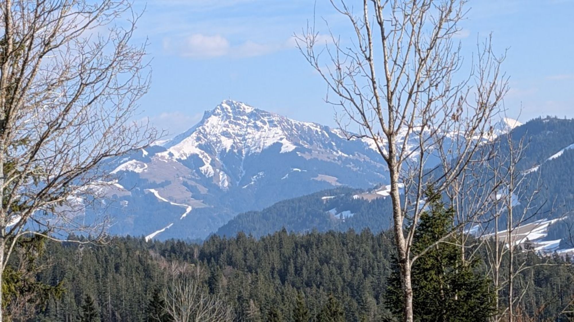
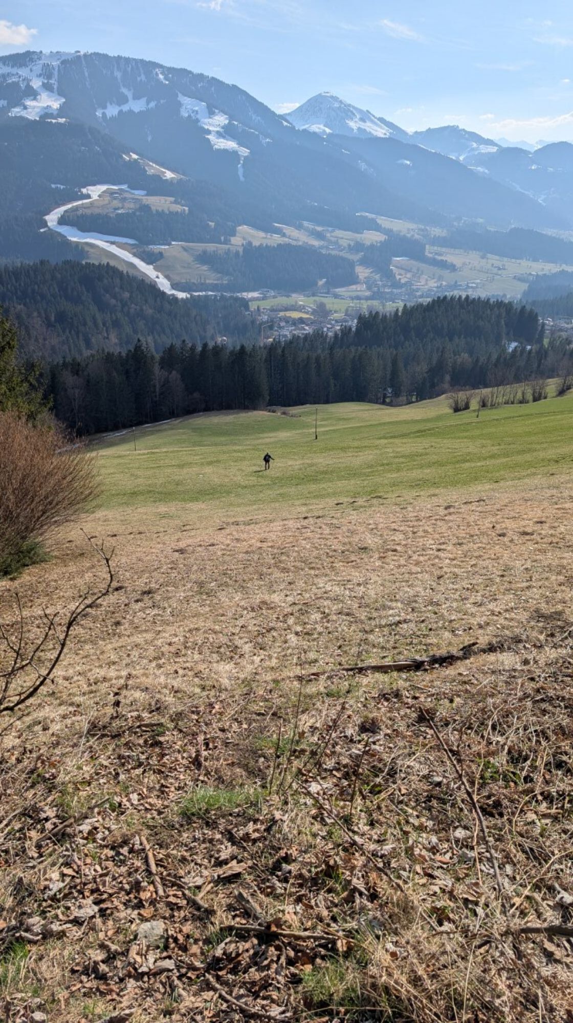
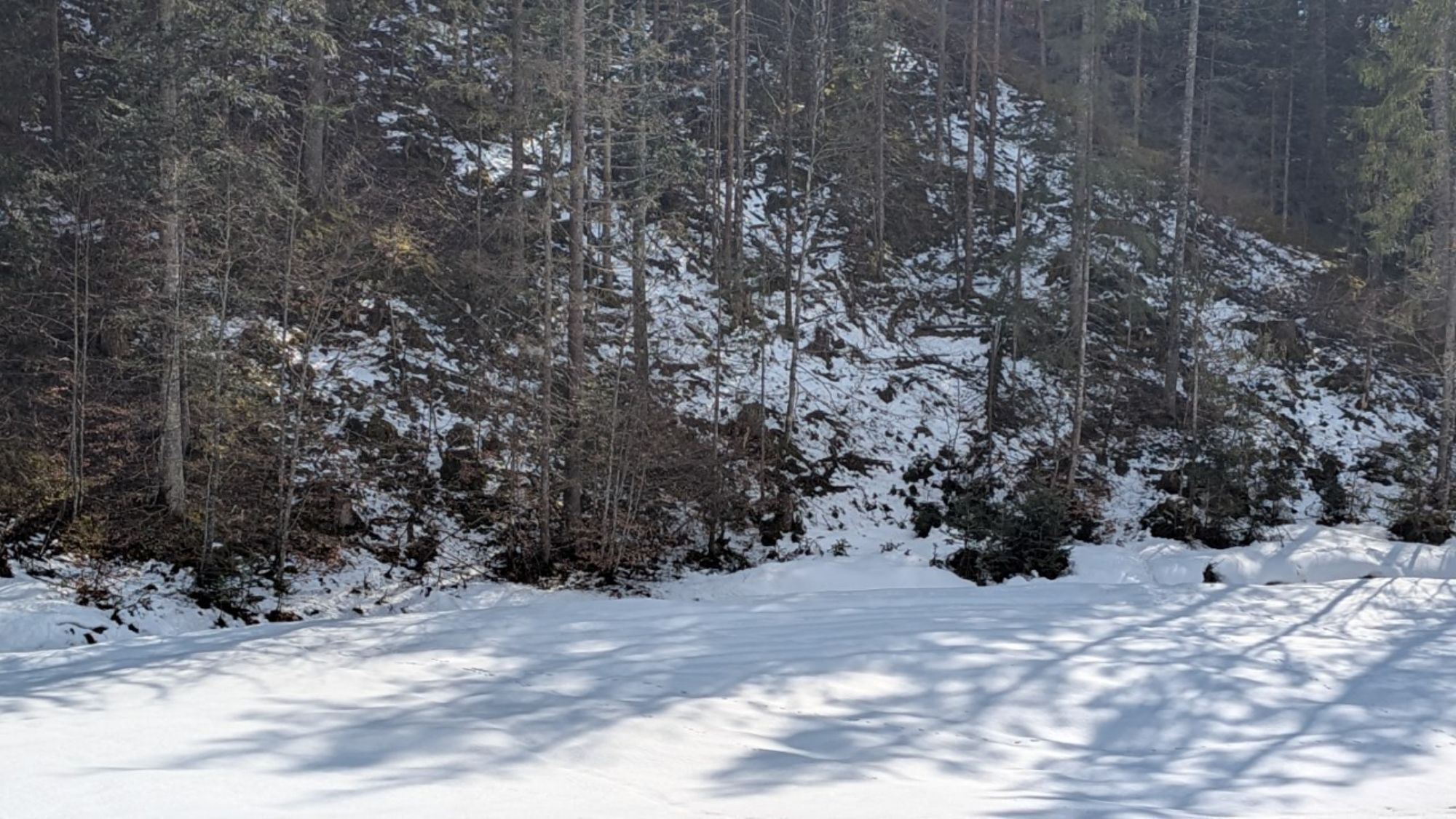
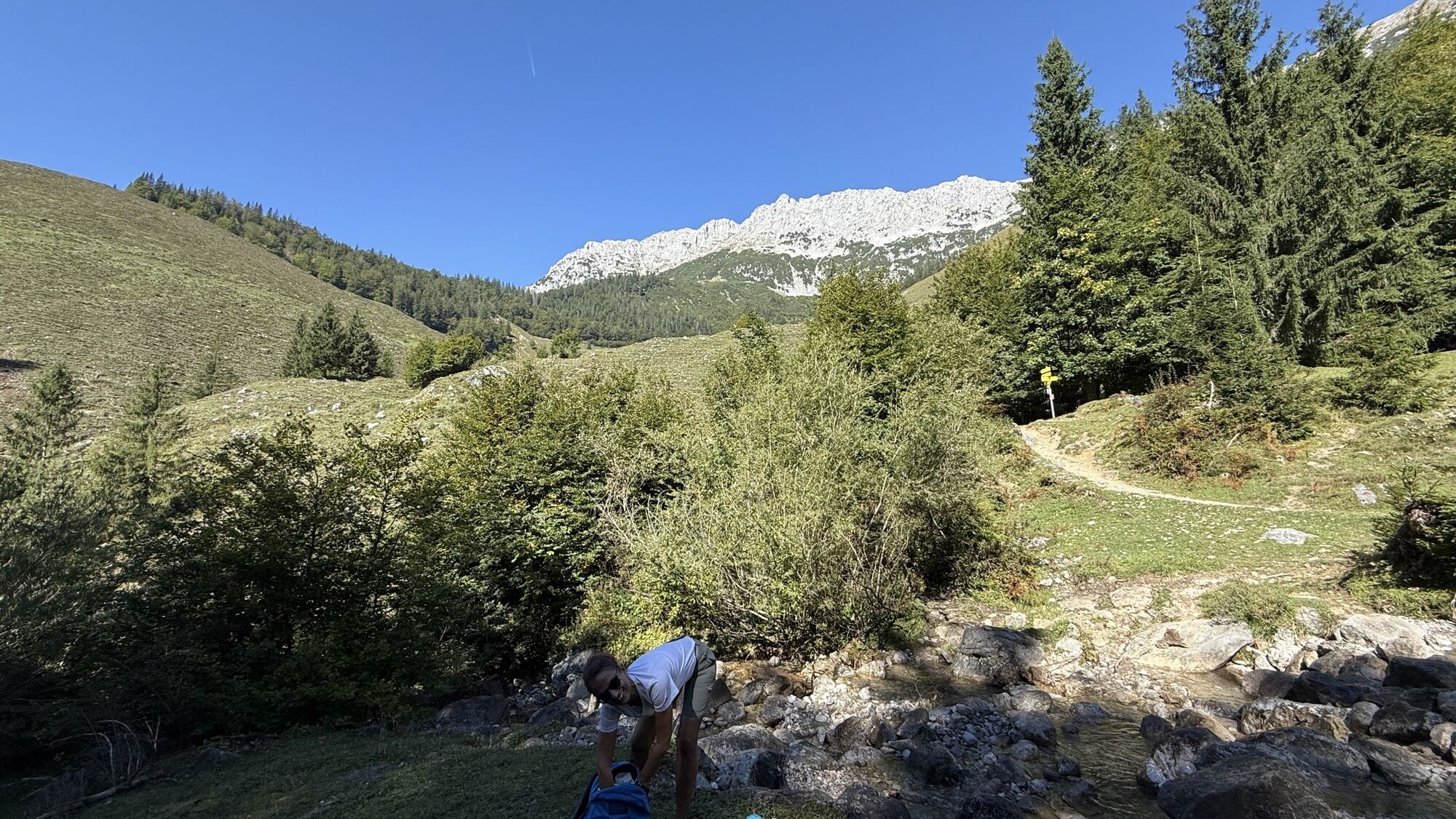
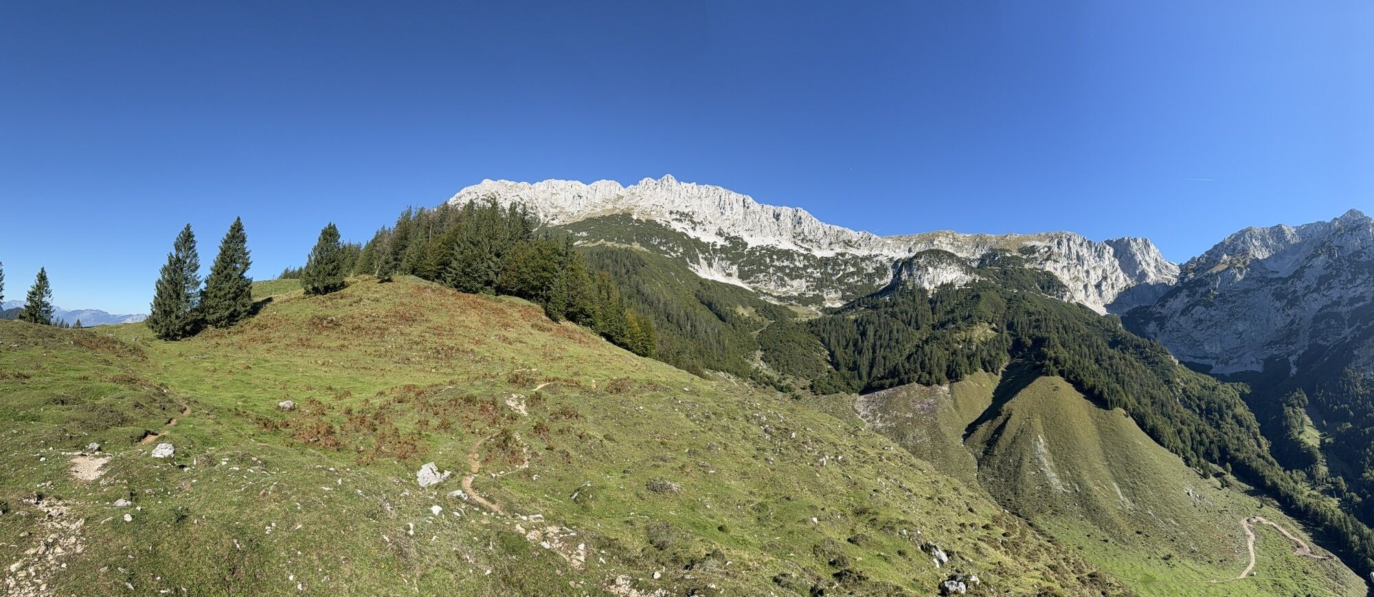

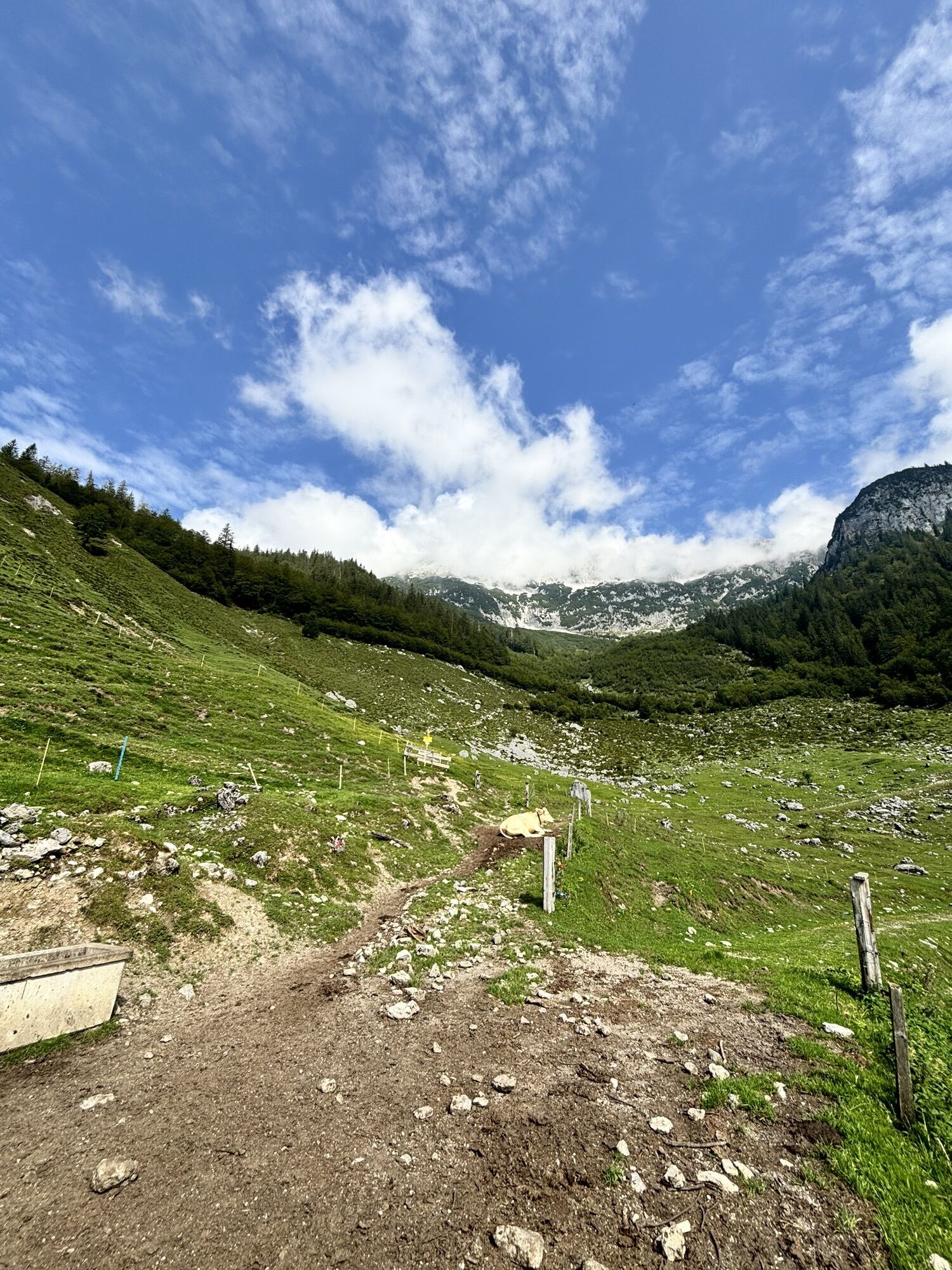
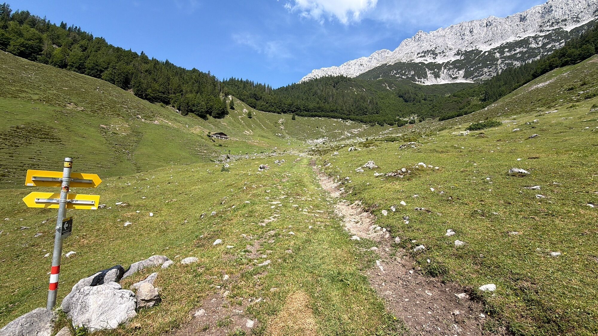
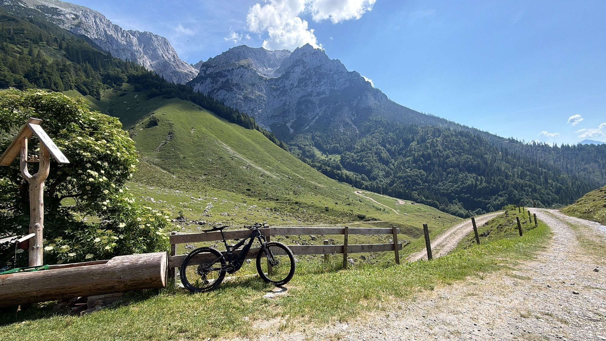
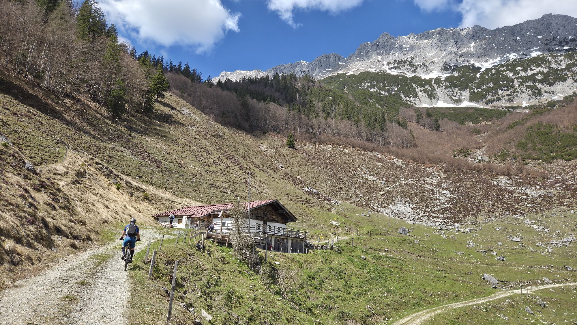
The starting point is the "Wegscheid" car park near the Restaurant Jägerwirt, which can be reached on foot from the village center of Scheffau on hiking trail no. 814 or by car. Now follow the hiking trail...
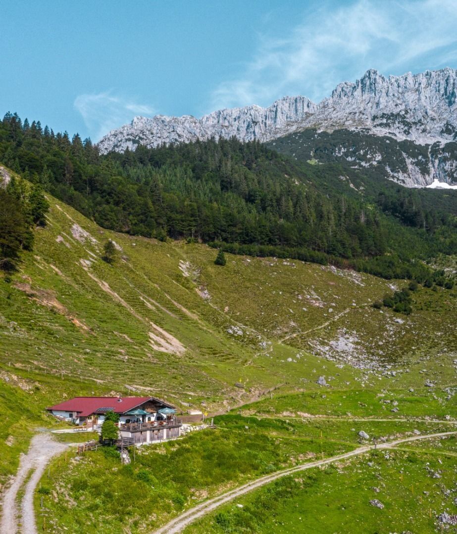
The starting point is the "Wegscheid" car park near the Restaurant Jägerwirt, which can be reached on foot from the village center of Scheffau on hiking trail no. 814 or by car. Now follow the hiking trail no. 814 up to the Kaiseralm (1.146 m). Viewpoint: Immediately behind the Kaiseralm you can take a path up to the left in a few minutes to the Seilabodenkreuz - a viewpoint that is also worth a visit! After the Kaiseralm, it goes back downhill on hiking trail no. 826 and just before the Schießling farms, turn left onto a field path to the starting point Jägerwirt.

Wilder Kaiser hiking map (1:25.000) available in the tourist information centres Ellmau, Going, Scheffau and Söll
Rucksack, sturdy hiking shoes, weather-appropriate hiking gear, sun protection, waterproofs, snack and drink, hiking poles (height adjustable) if required, mobile phone, plastic bag for waste, hiking map, route description and information materials (GPX track), ID, cash
Heading from Wörgl, Kufstein or St. Johann on the B178 road, take the exit to Scheffau. When you reach the Gasthof Maikircher inn located in the village of Scheffau, turn right in the direction of the Restaurant Jägerwirt. Follow the road until you reach the car park below the Restaurant Jägerwirt.
More information at: www.wilderkaiser.info/mobil
Wegscheid car park, Scheffau (883 m) – pay & display

Oblíbené prohlídky v okolí
-
4.7
Kirchdorf: Zur geheimnisvollen Teufelsgasse
středníTuristika 7.90 km -
4.9
Kirchdorf: Kaiserbachtal - Stripsenkopf und Feldberg
heavyTuristika 12.6 km -
4.9
Schleierwasserfall Runde
středníTuristika 5.63 km -
4.9
Gruttenhütte über Klammlweg
středníTuristika 5.61 km -
4.9
Route 209: Brechhornhaus-Choralpe
heavyMountainbike 24.4 km -
4.4
Kitzbüheler Horn über Horn-Gipfel-Höhenweg
středníTematická stezka 5.30 km -
5.0
Kirchdorf: Stripsenjoch Klettersteige
heavyVia ferrata 3.76 km -
4.8
Rehbachklamm
středníTuristika 7.27 km -
4.8
Streif Wanderweg
středníTuristika 5.73 km -
4.8
Stripsenjoch Klettersteige/ Rundwanderung von Griesener Alm über Stripsenjochhaus und Feldberg
středníVia ferrata 10.2 km
Pěší turistika a stopování


Nenechte si ujít nabídky a inspiraci pro vaši příští dovolenou
Vaše e-mailová adresa byl přidán do poštovního seznamu.





