


Hochiss and Dalfazer Kamm

For German click here: https://www.bergfex.at/sommer/tirol/touren/wanderung/474466,hochiss-und-dalfazer-kamm/ The hike starts at the top station of "Rofanbahn" cable car. Descend a few meters, direction...
For German click here:
www.bergfex.at/sommer/tirol/touren/wa...
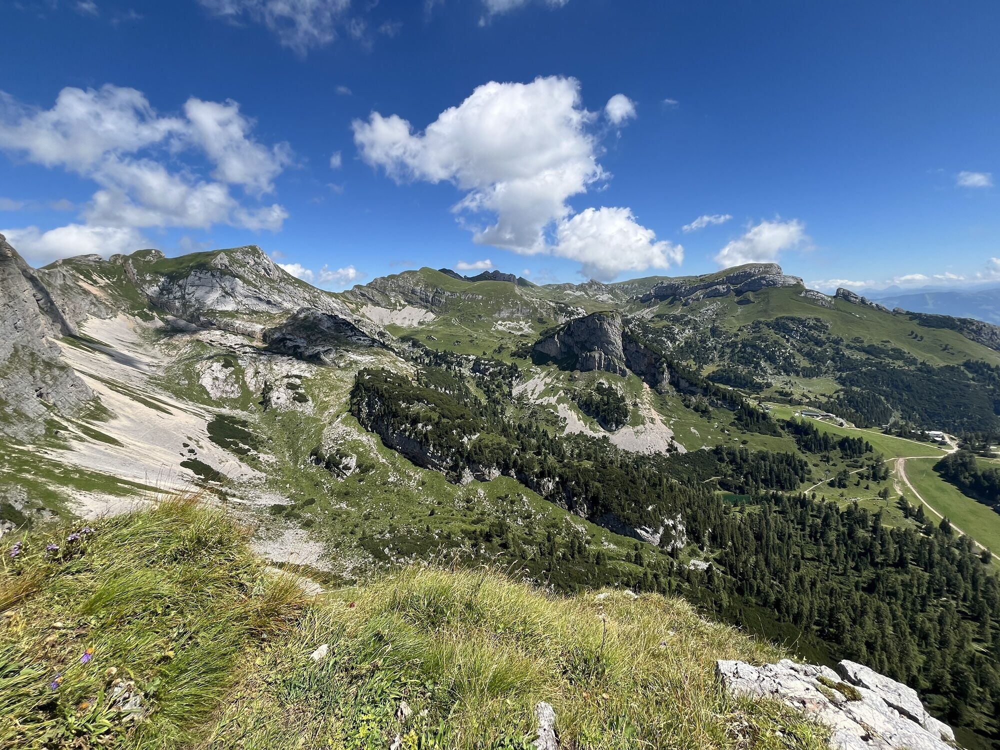
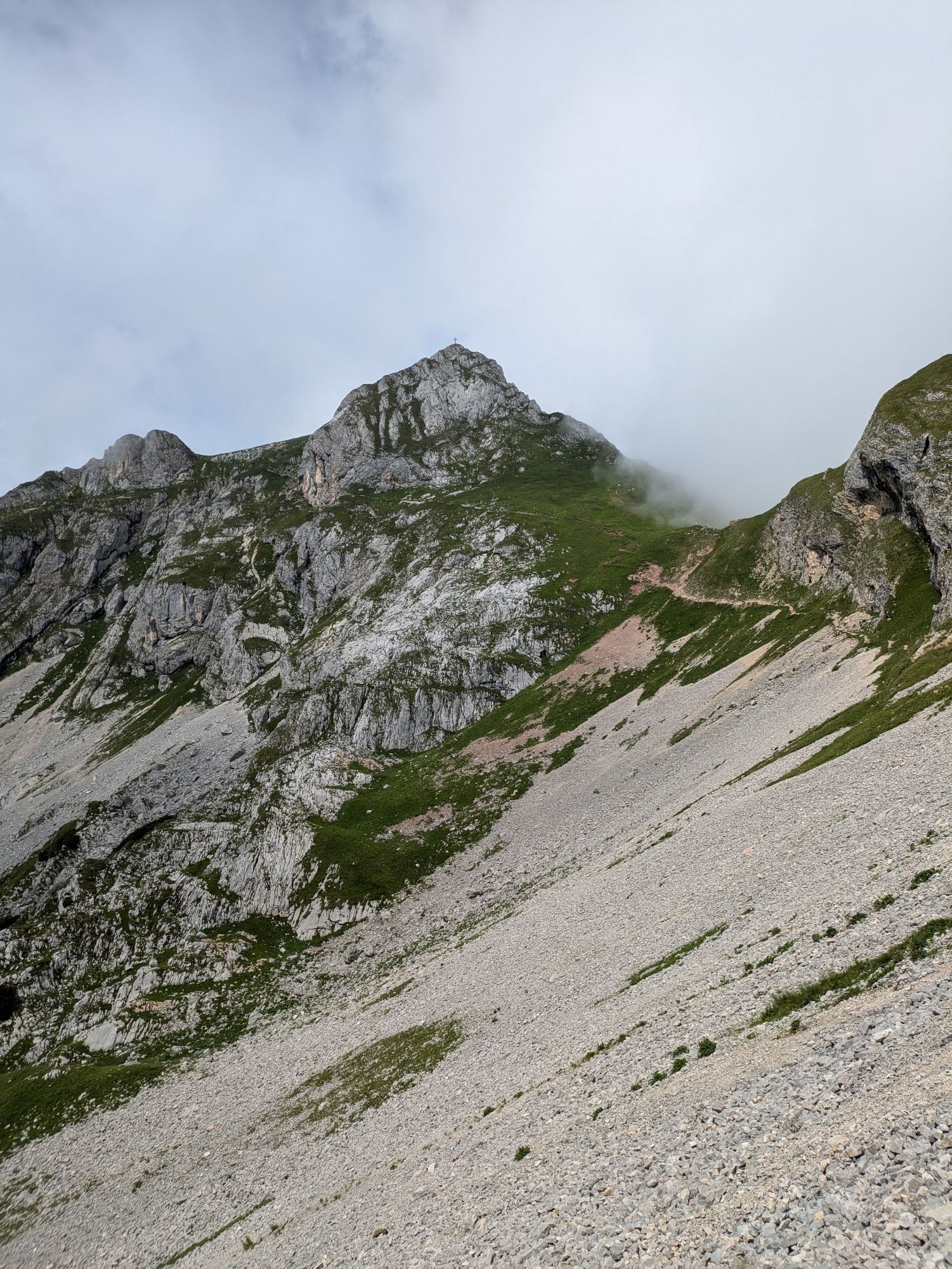
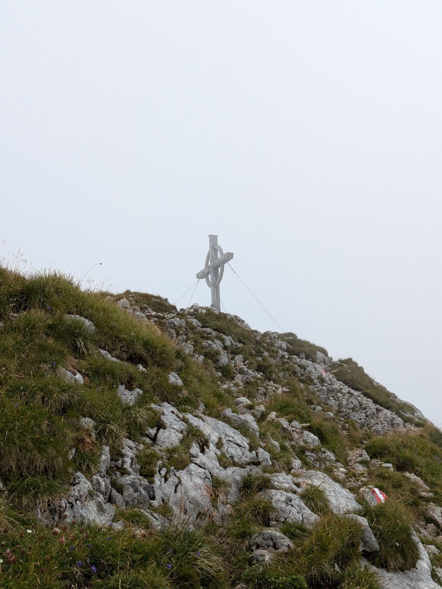
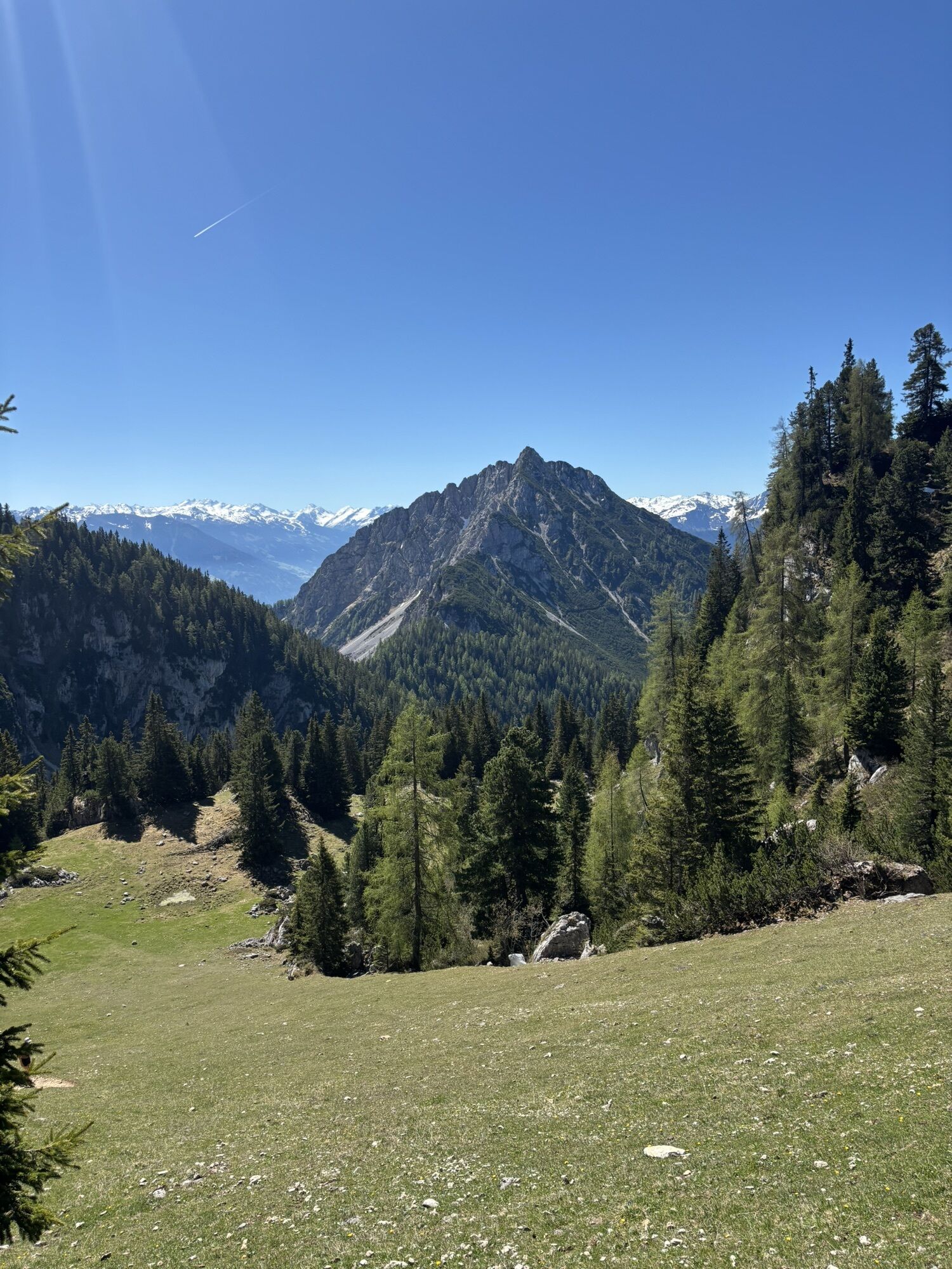
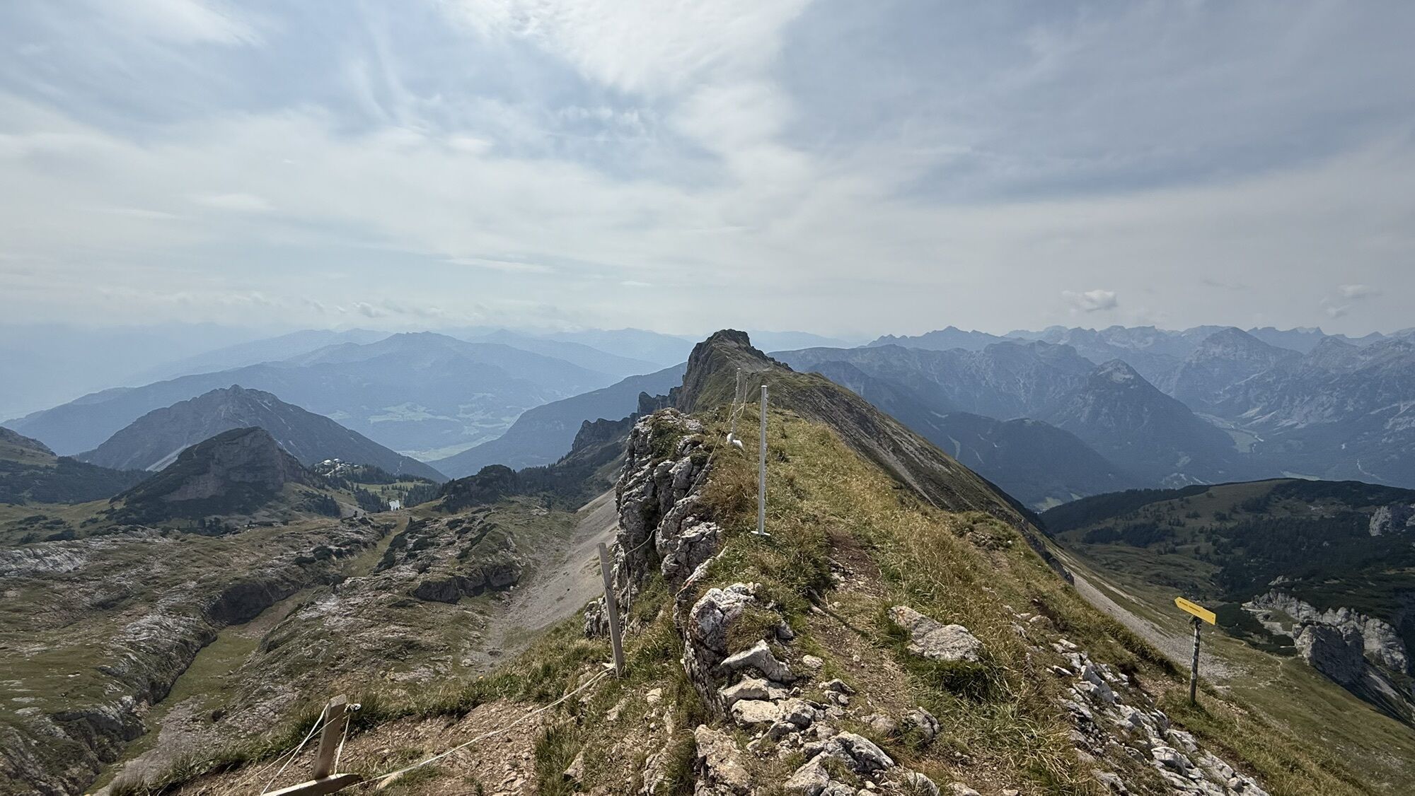
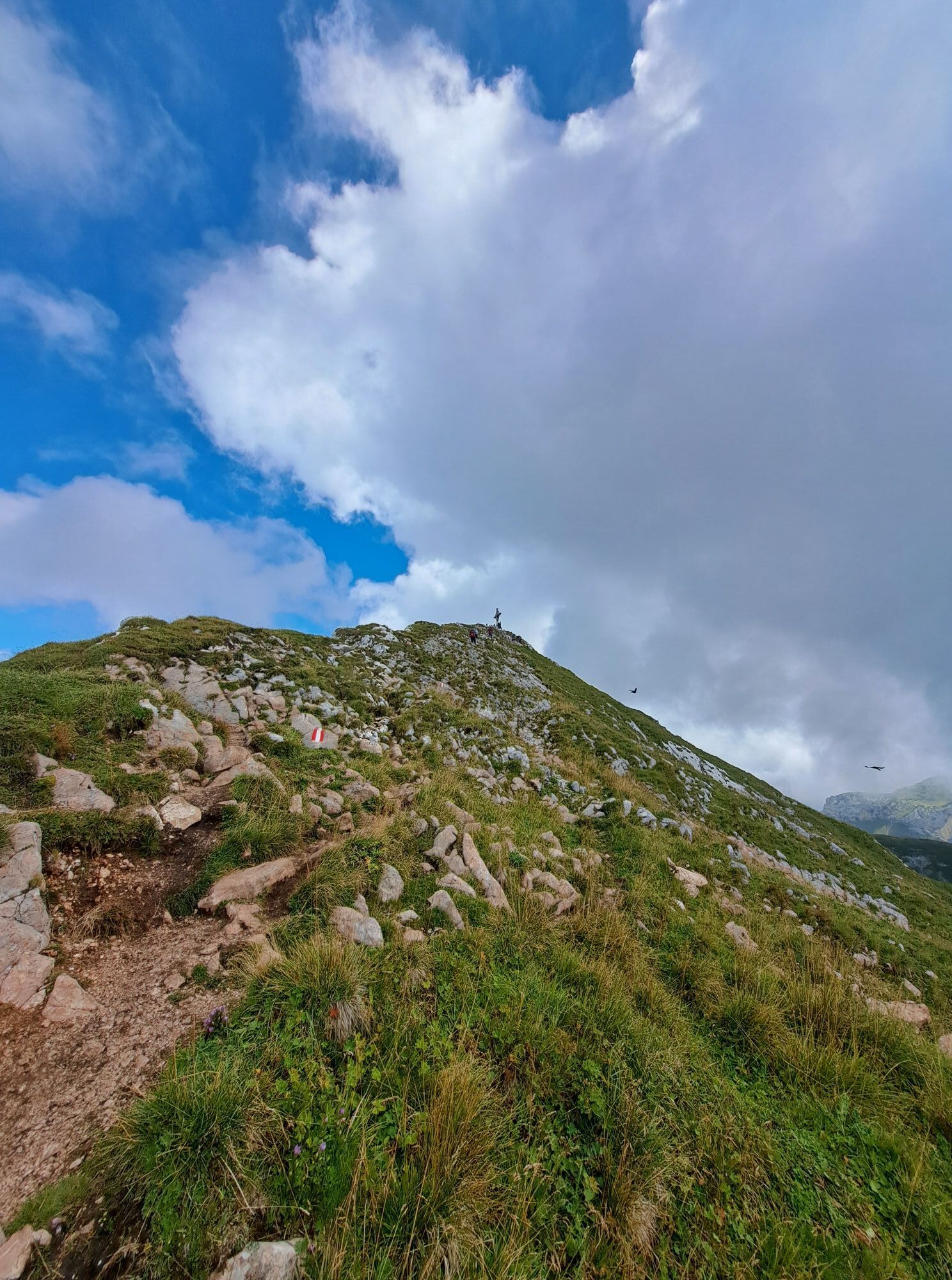
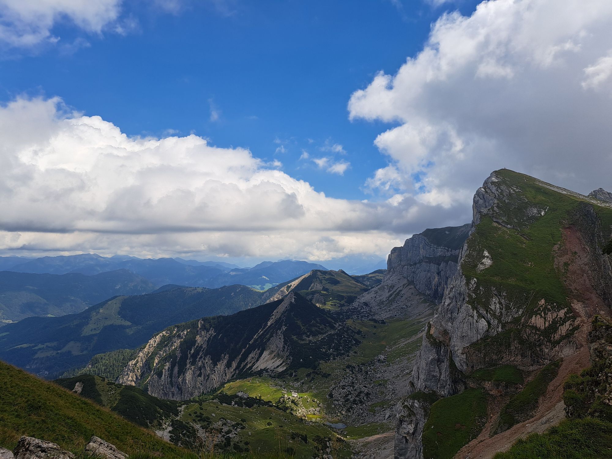
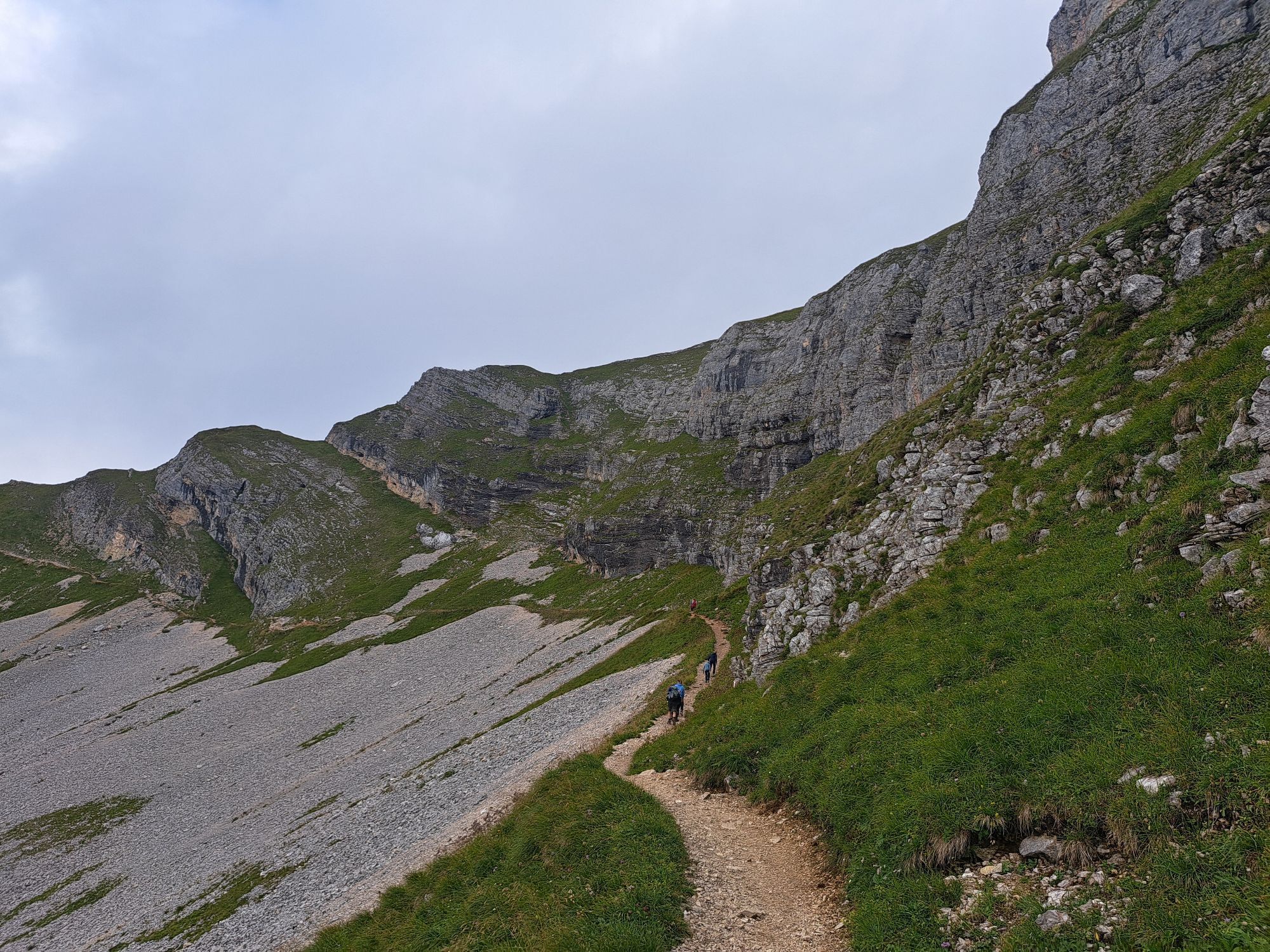
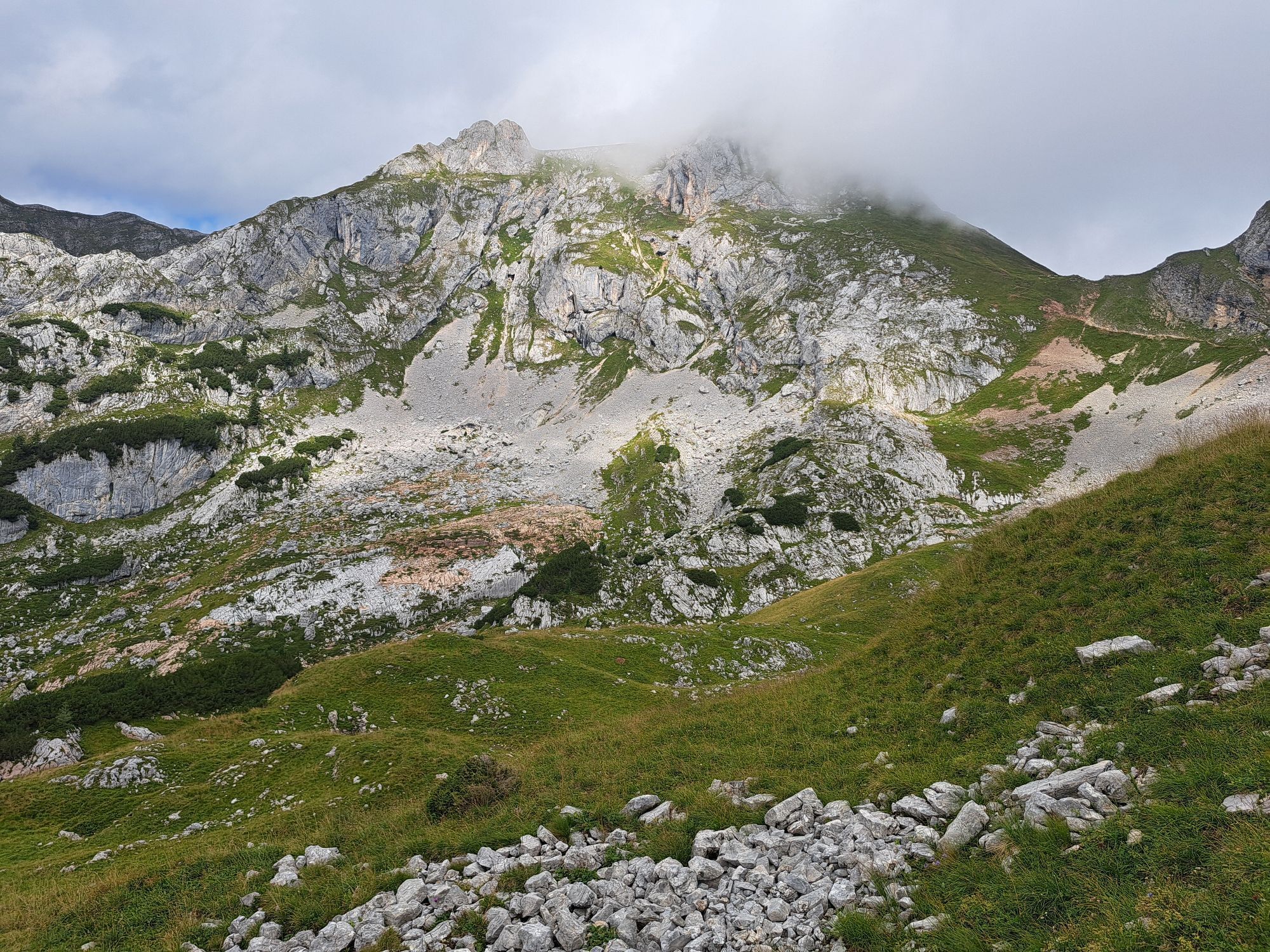
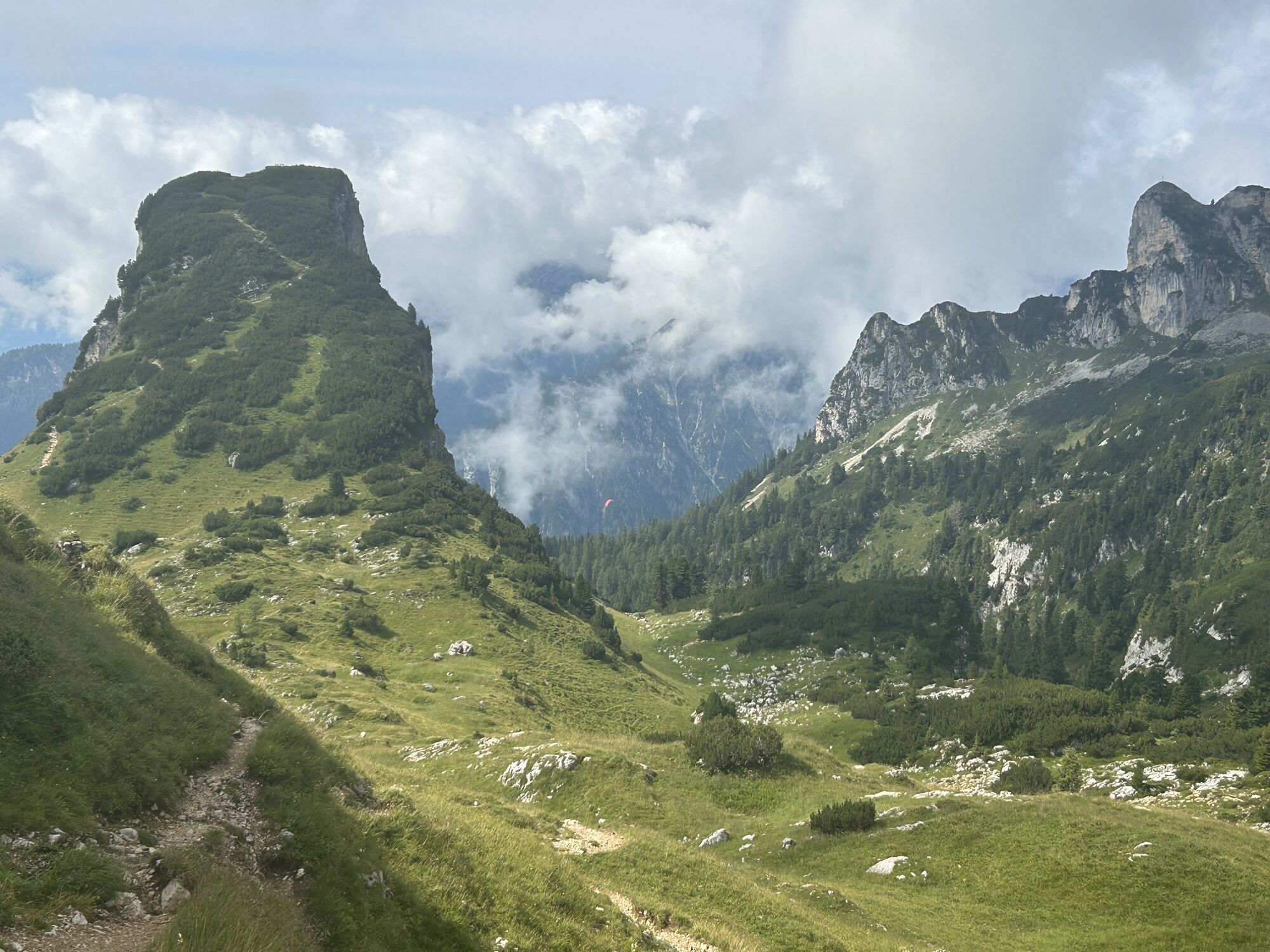
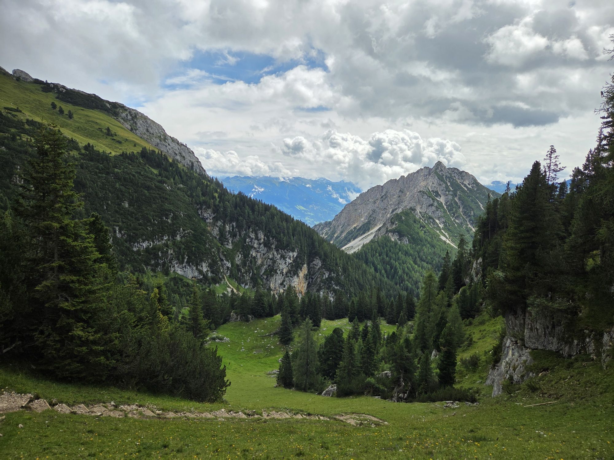
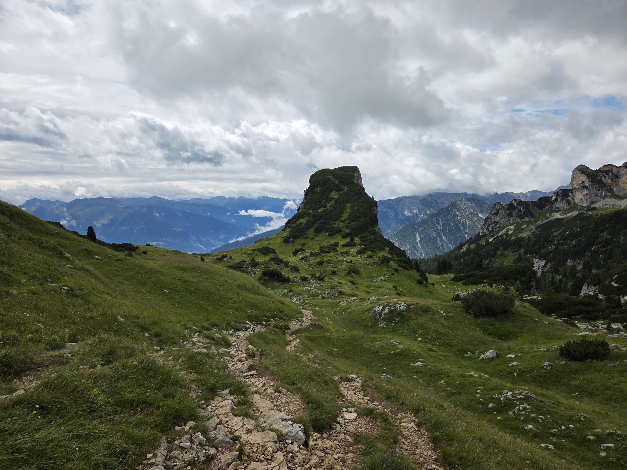
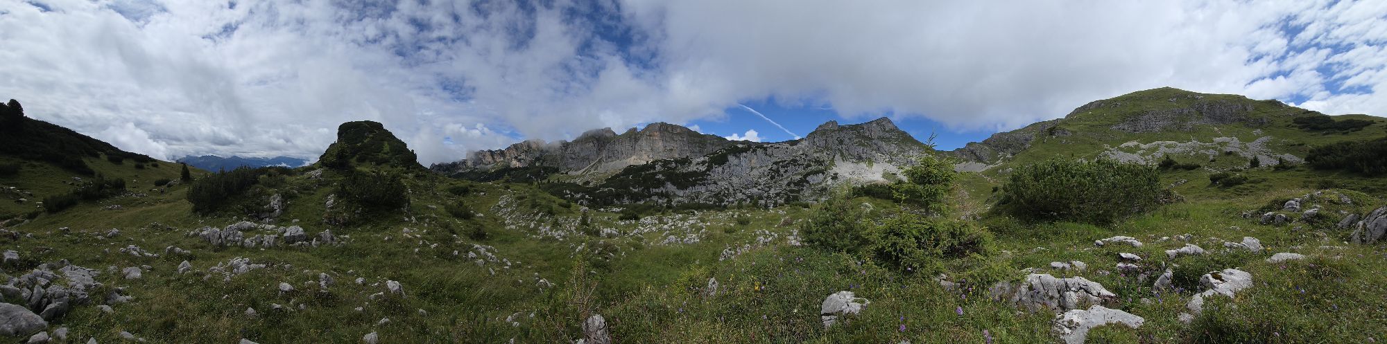
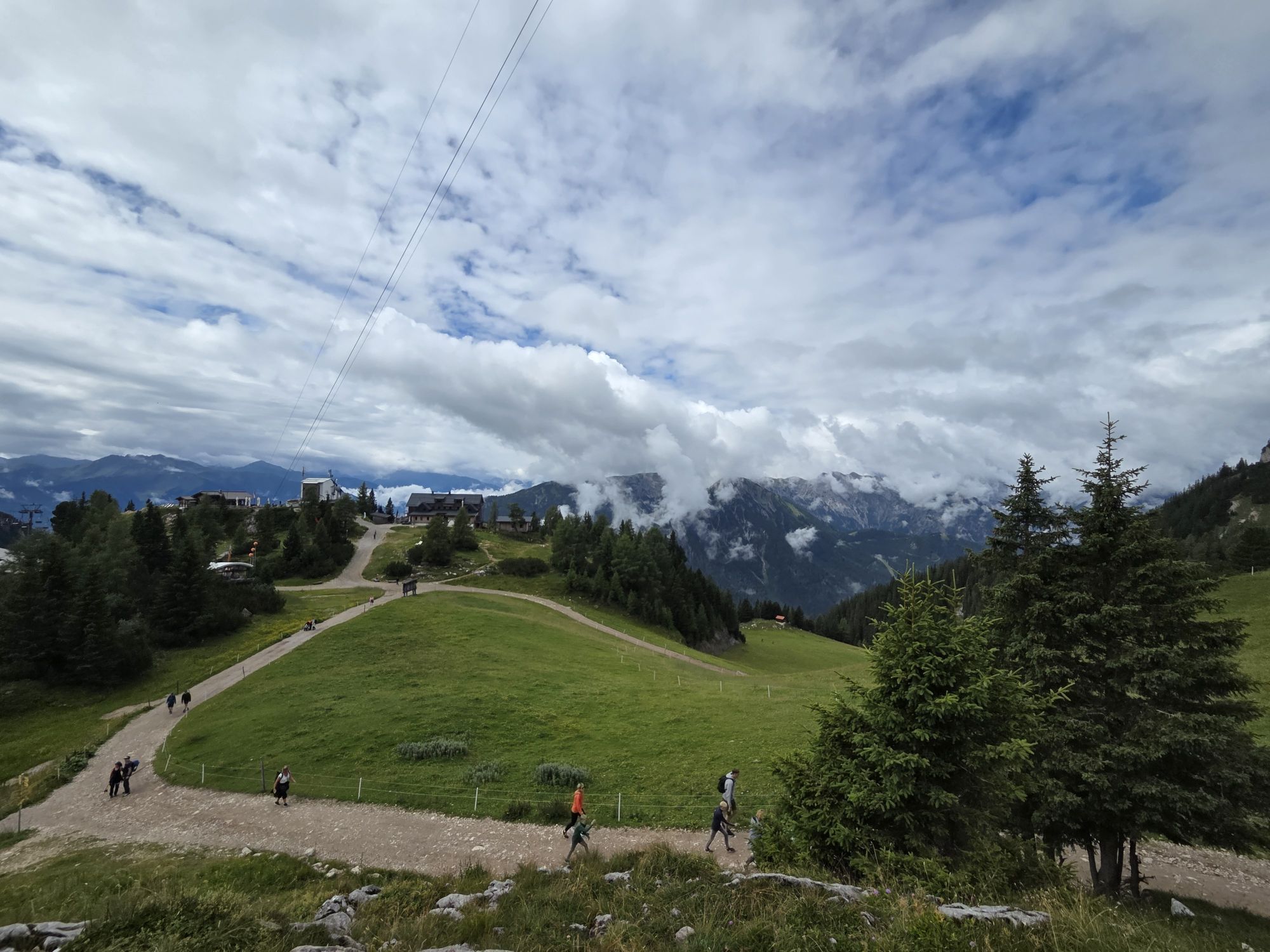
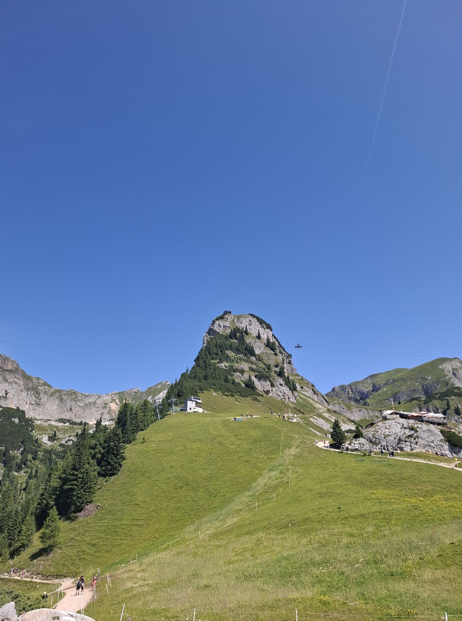
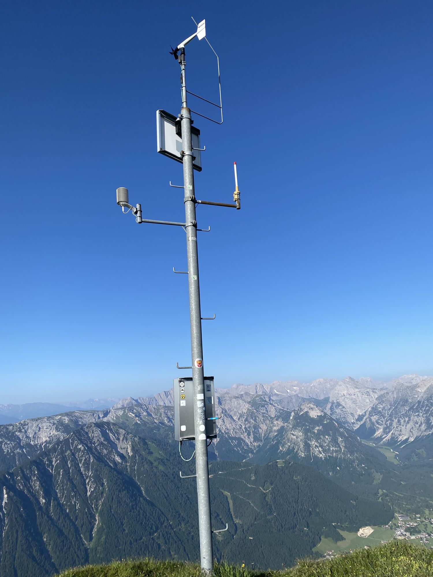
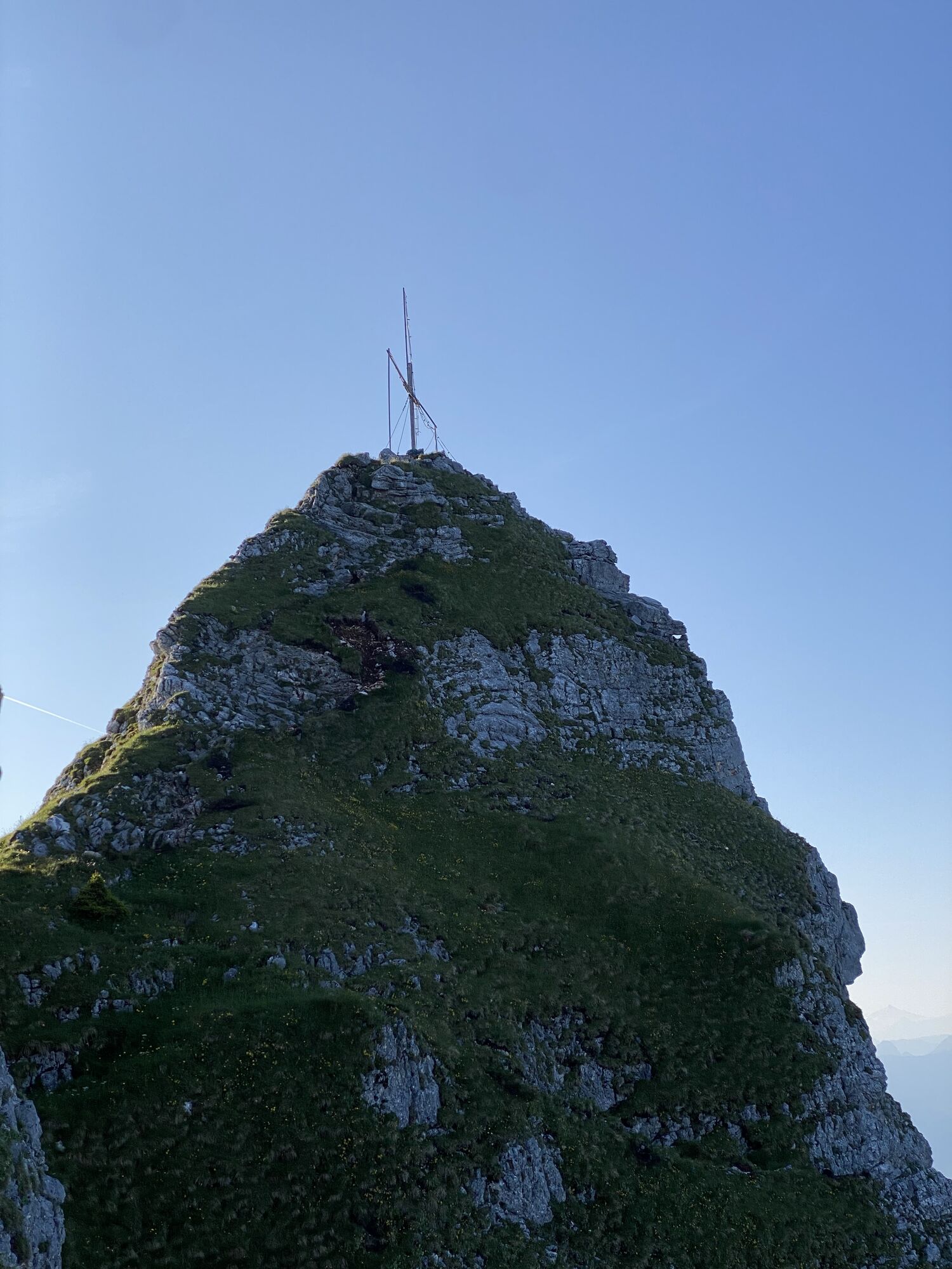
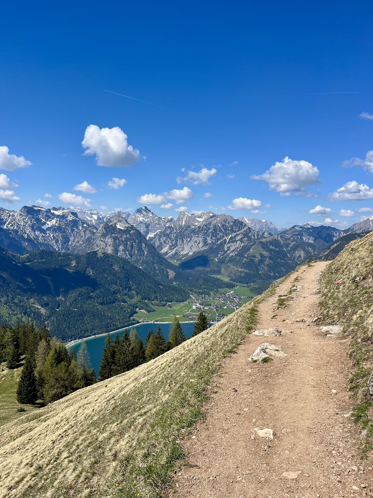
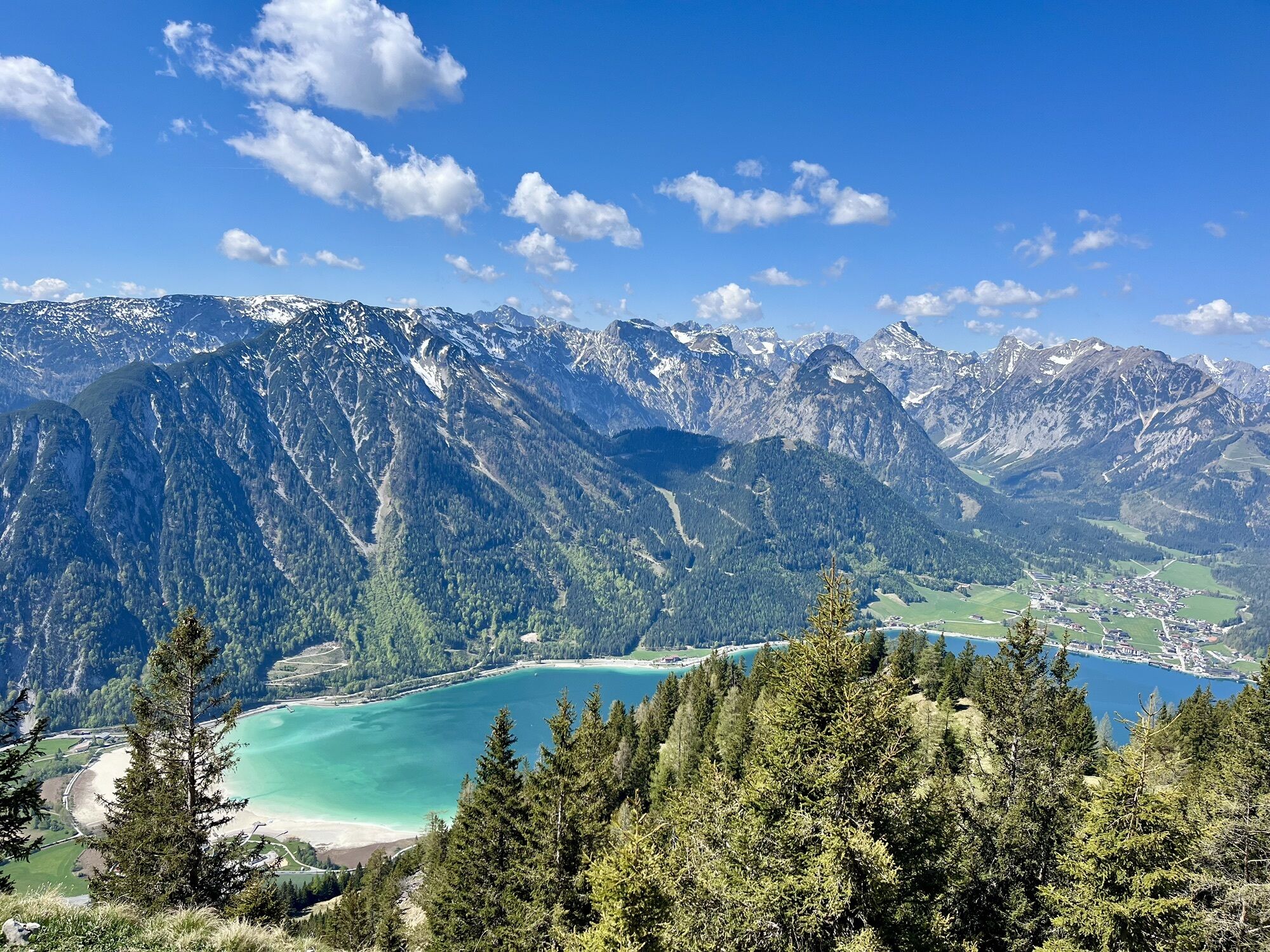
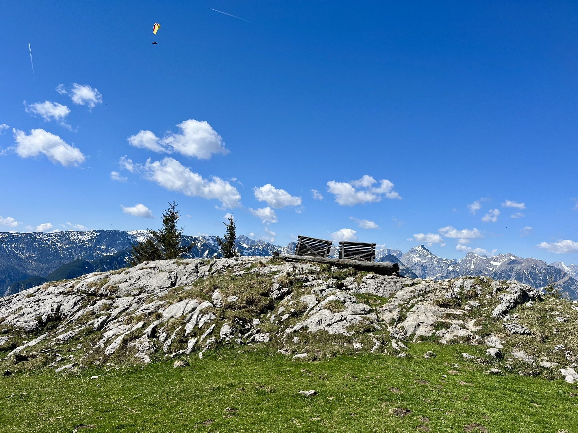
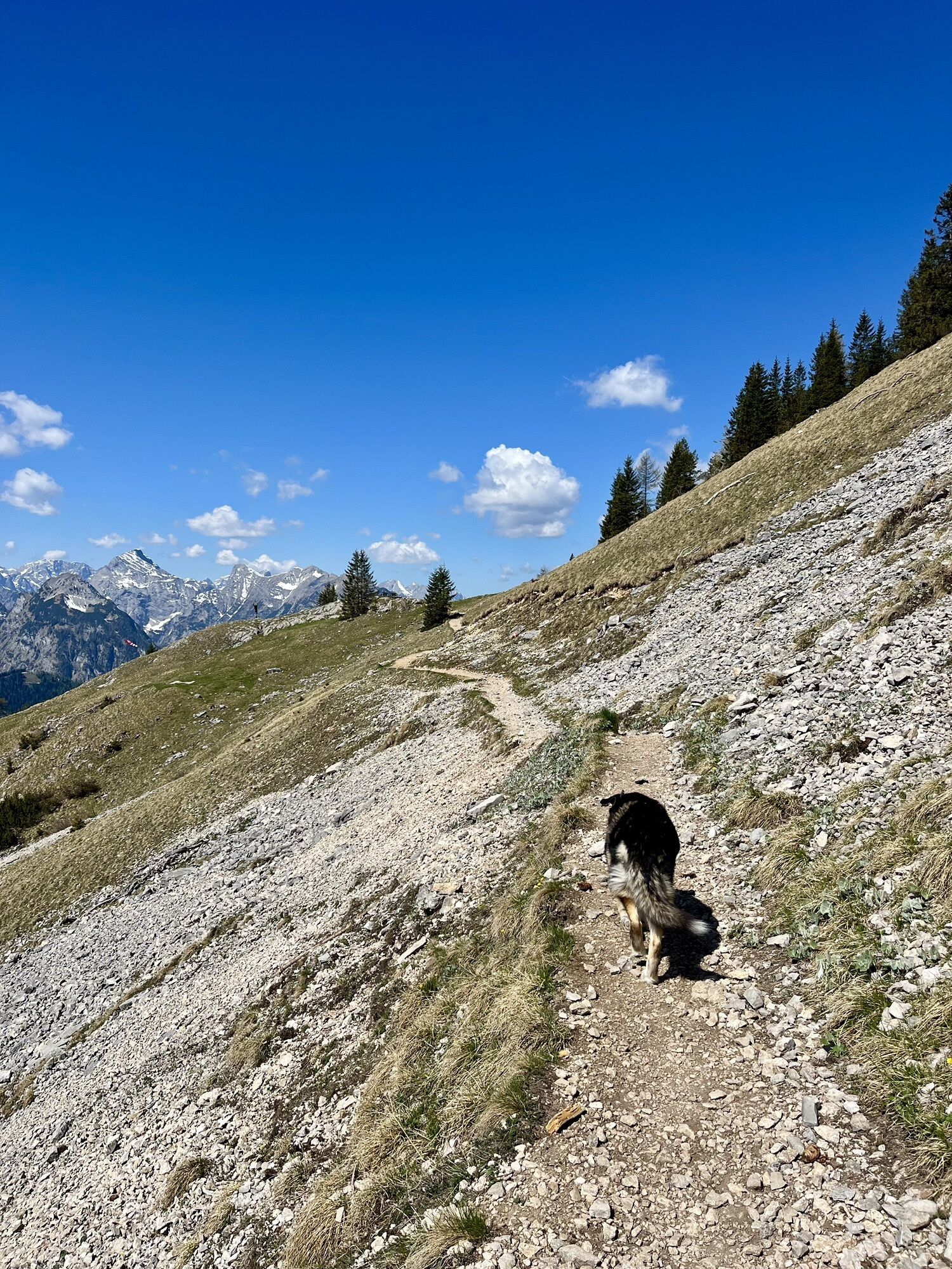
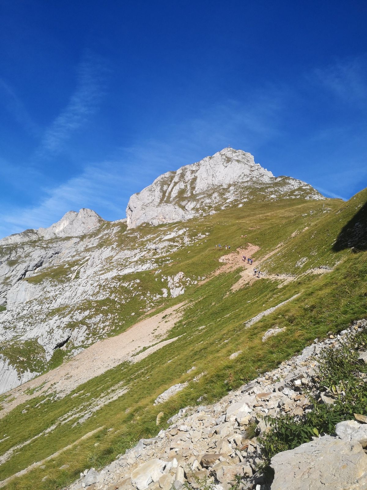
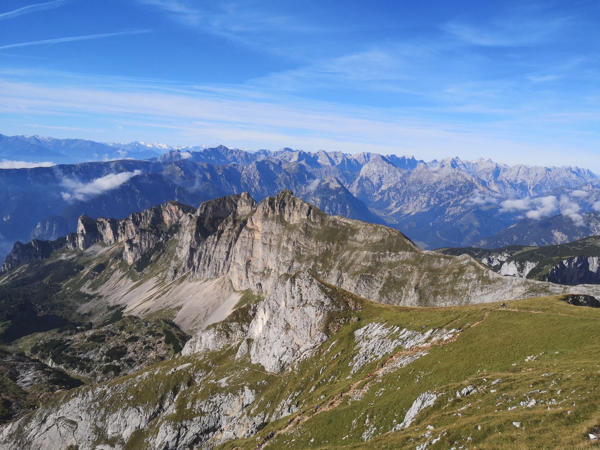
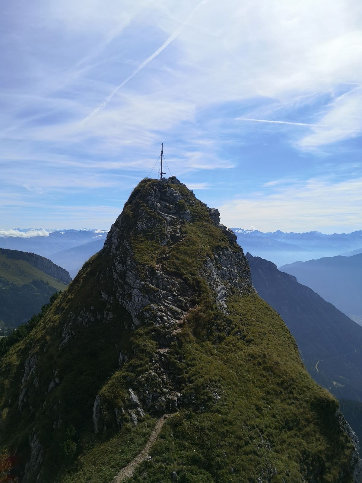
The hike starts at the top station of "Rofanbahn" cable car. Descend a few meters, direction north, and follow the signposts in the direction "Hochiss". The relatively wide trail passes below Gschöllkopf mountain. After an easy and not exposed fixed-rope section you will reach a relatively flat and grassy plateau. There, continue northwards to the col between Spieljoch and Hochiss mountains (rockfall along this section!). Now the trail turns left and passes below the summit of Hochiss mountain, then steeply uphill to another signpost. Turn right there and you will soon reach the summit of Hochiss mountain with its stunning views.
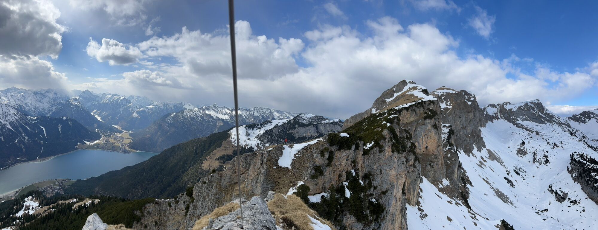
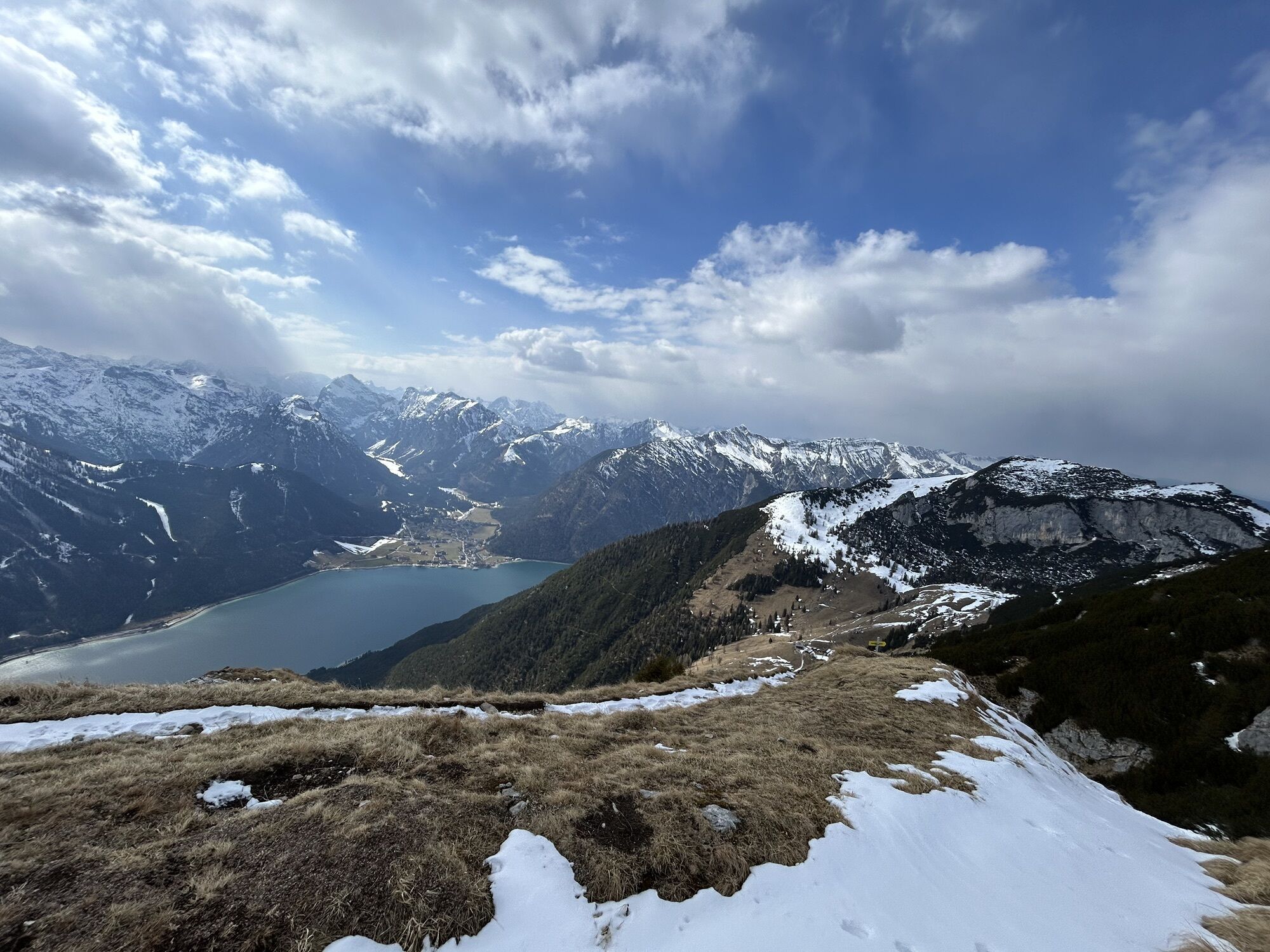
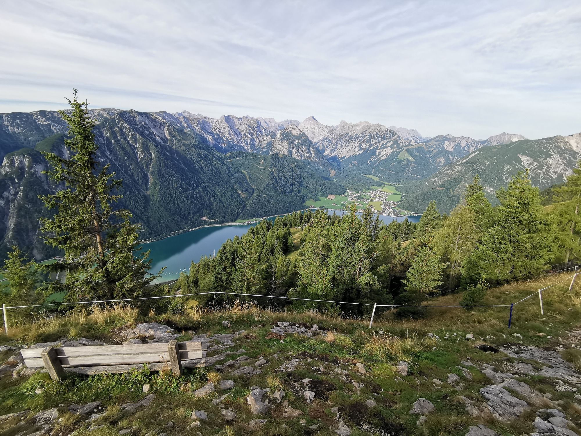
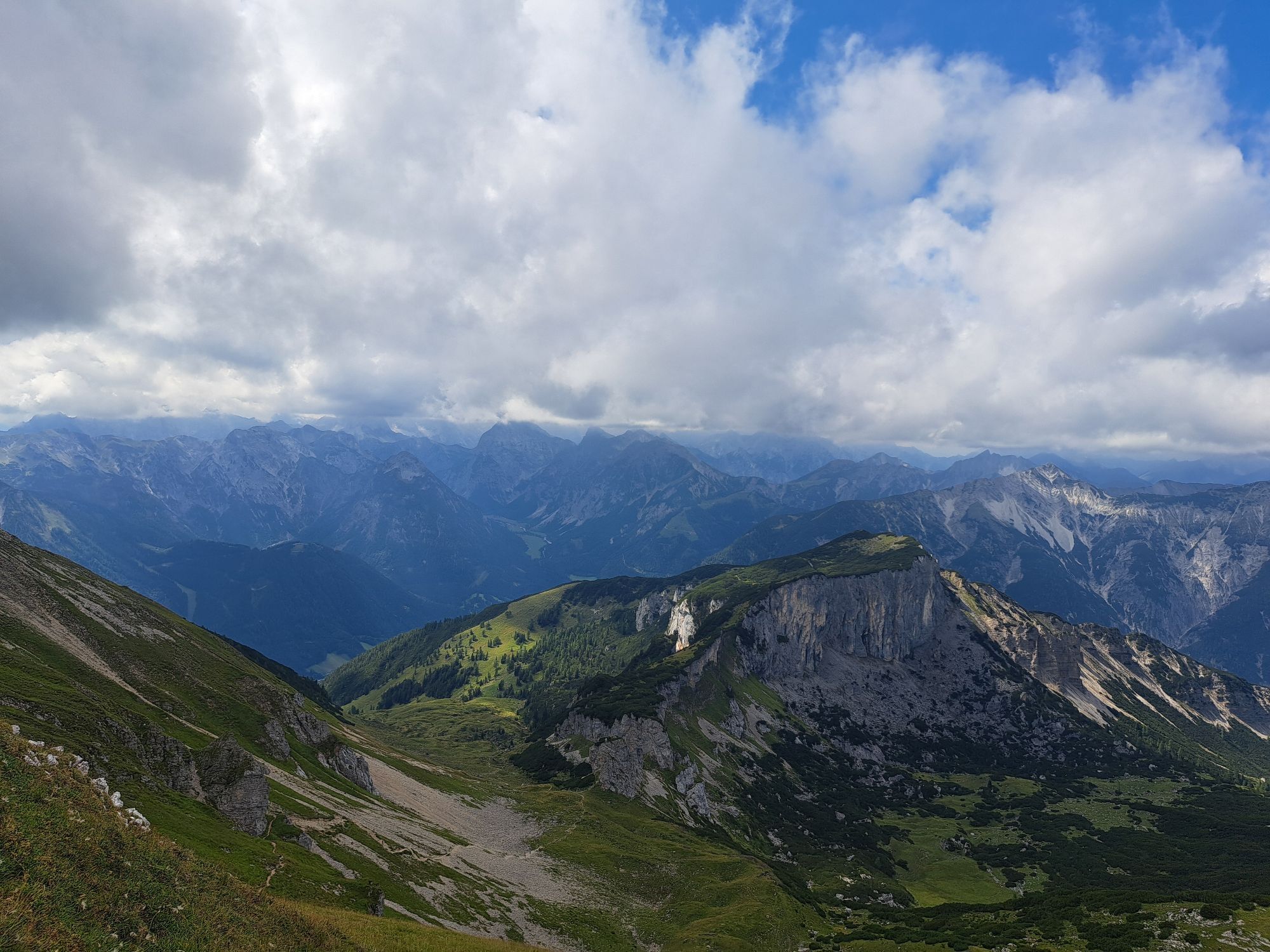
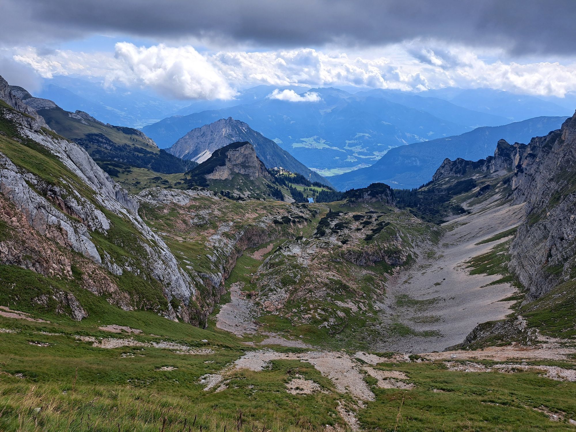
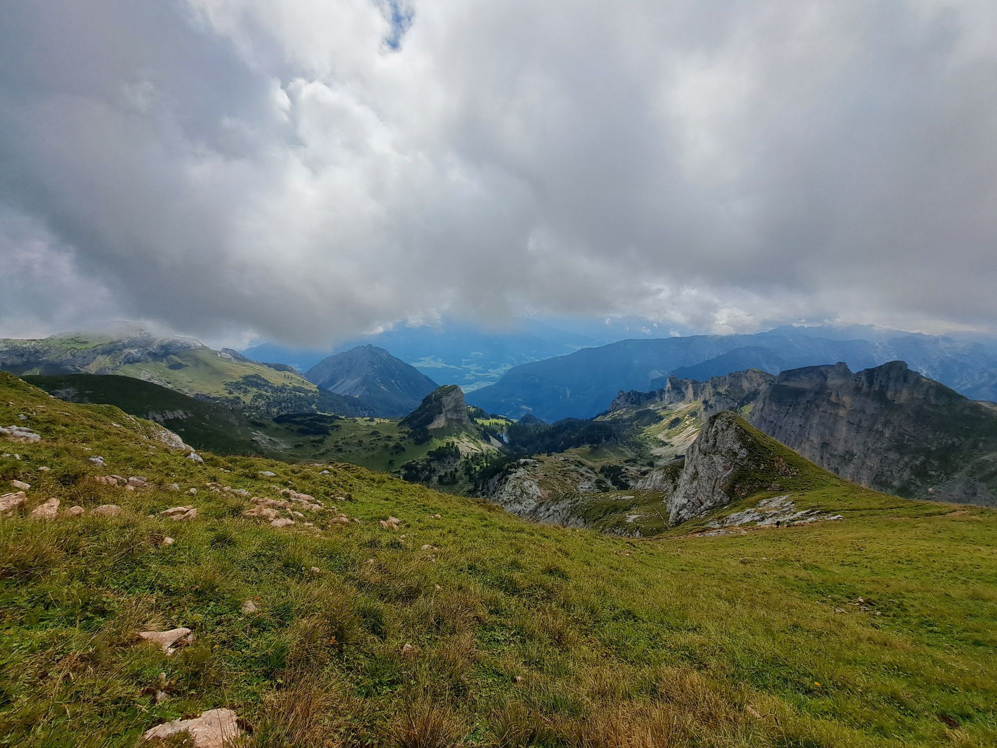
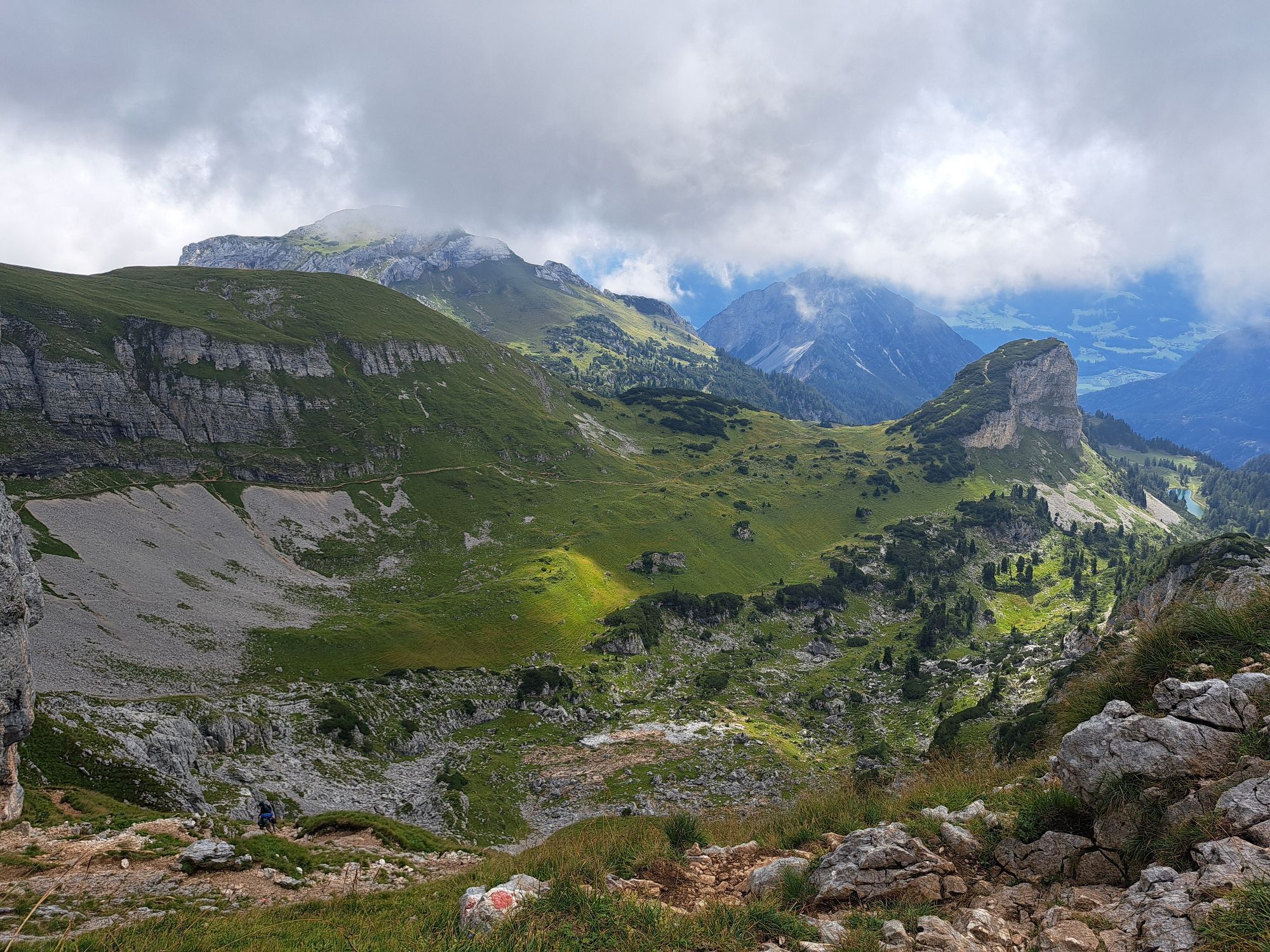
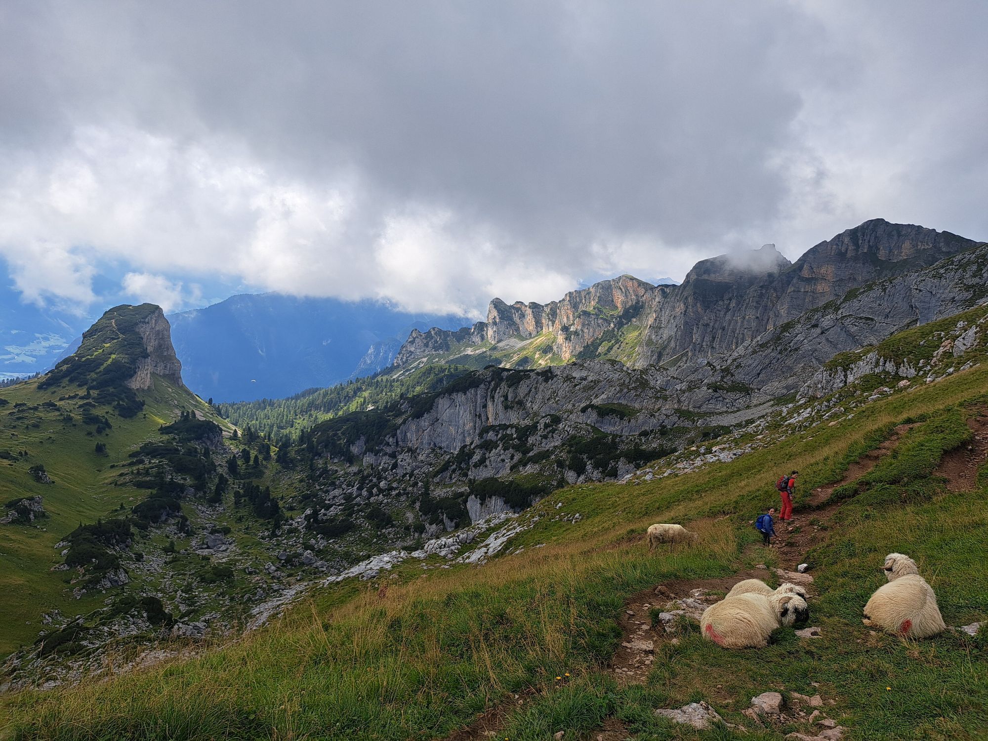
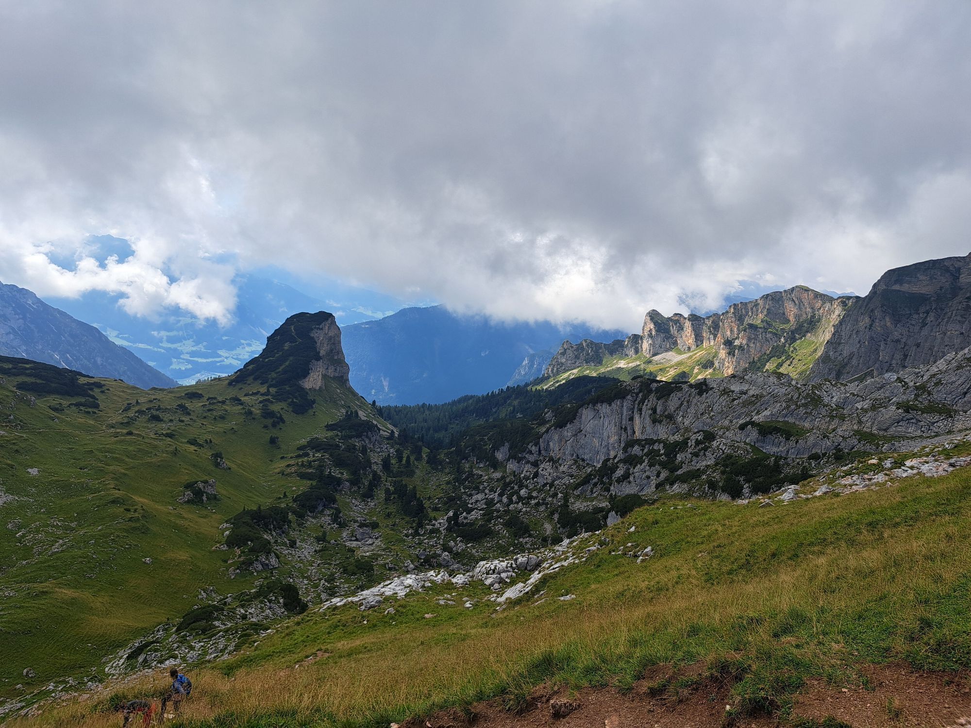
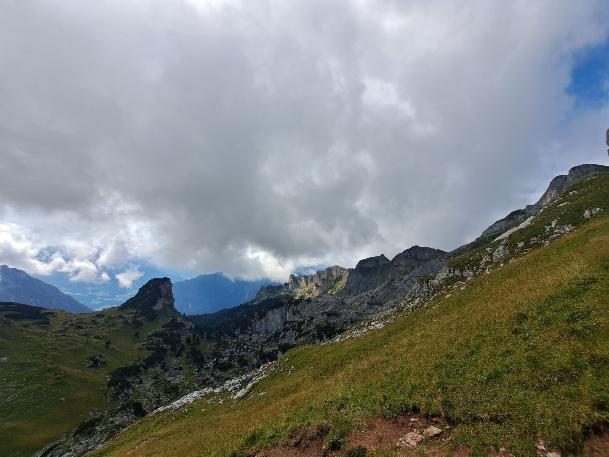
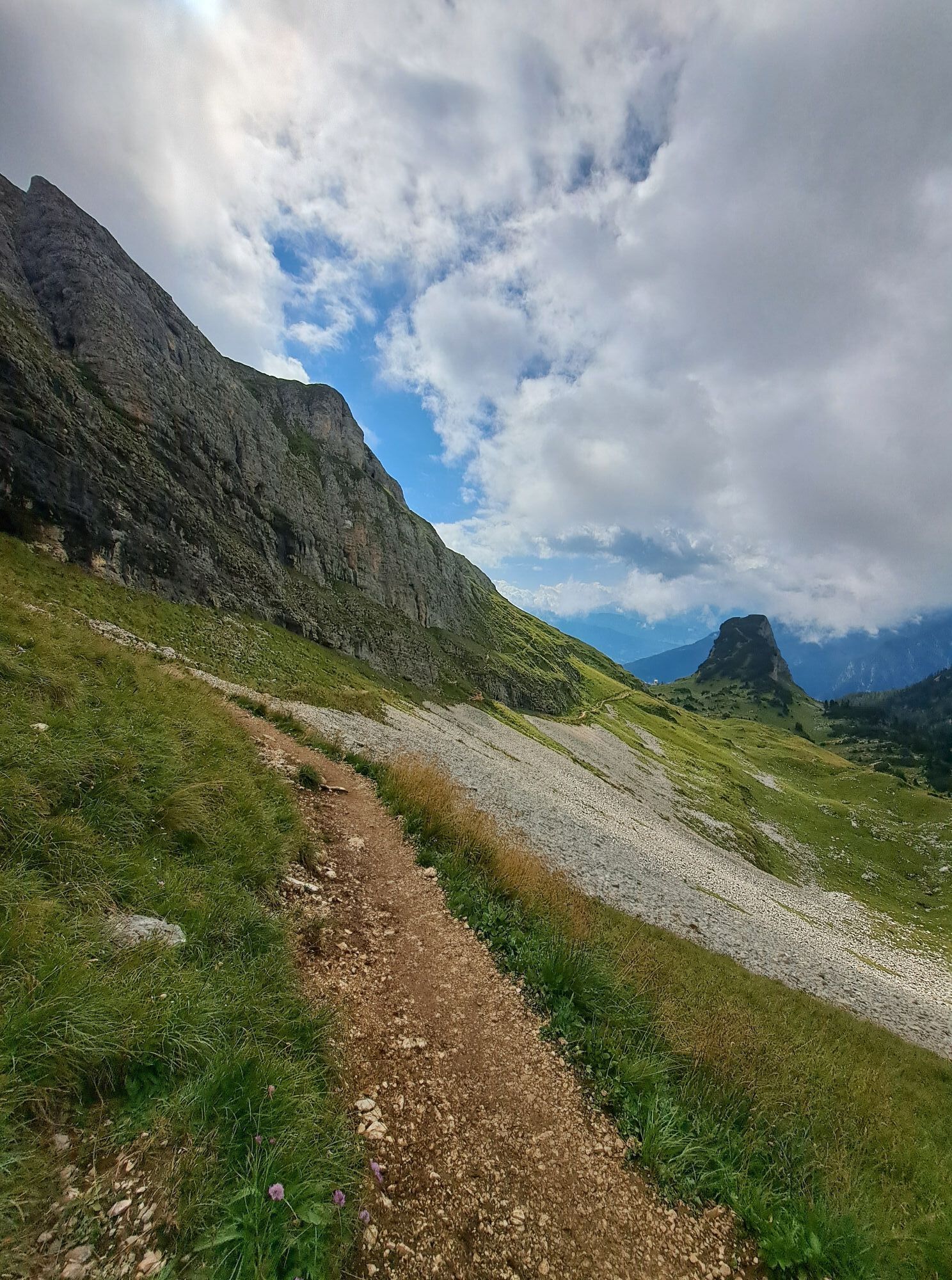
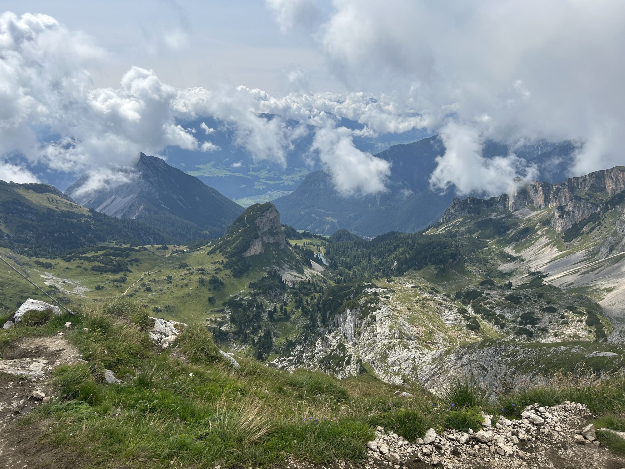
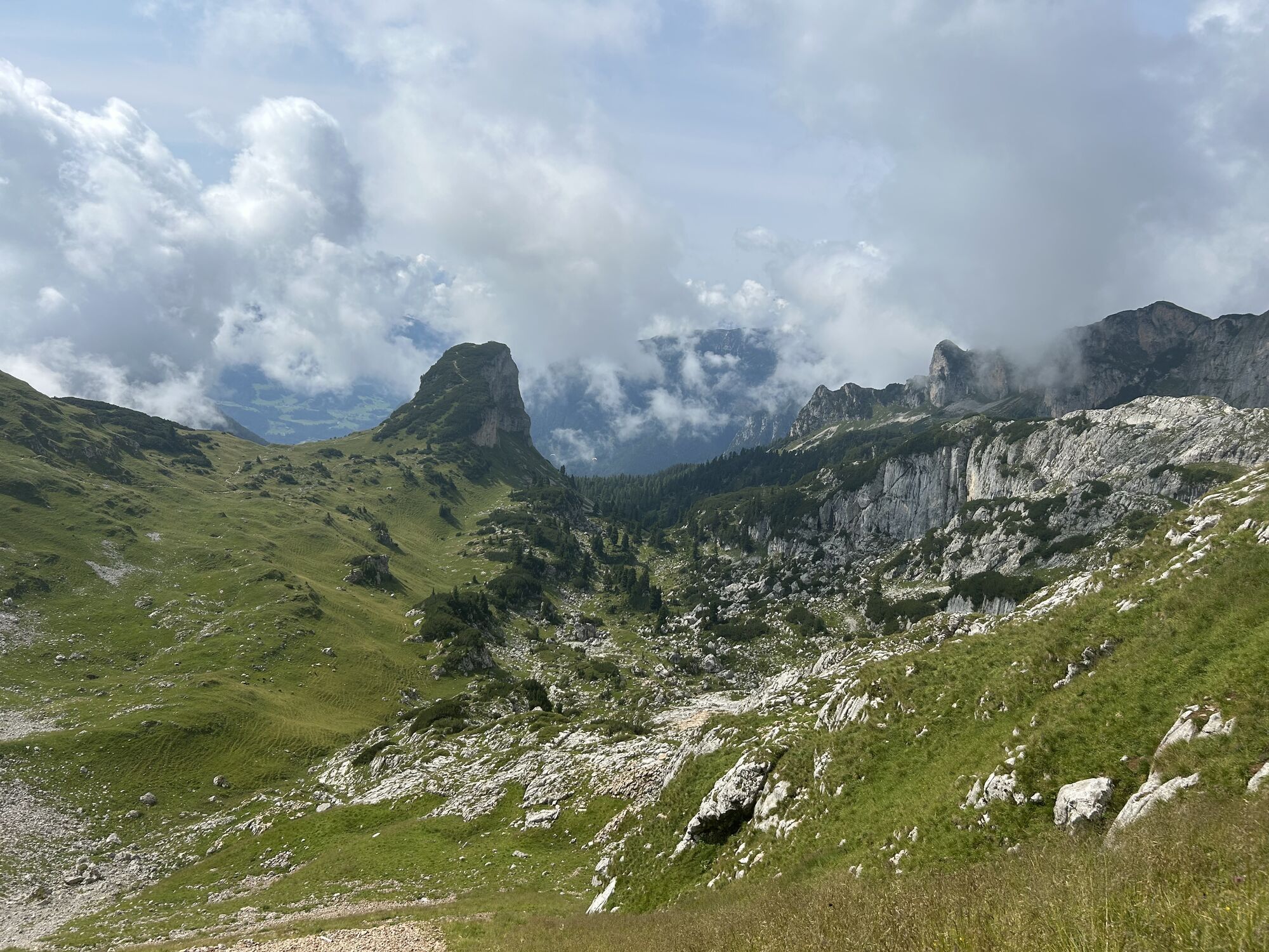
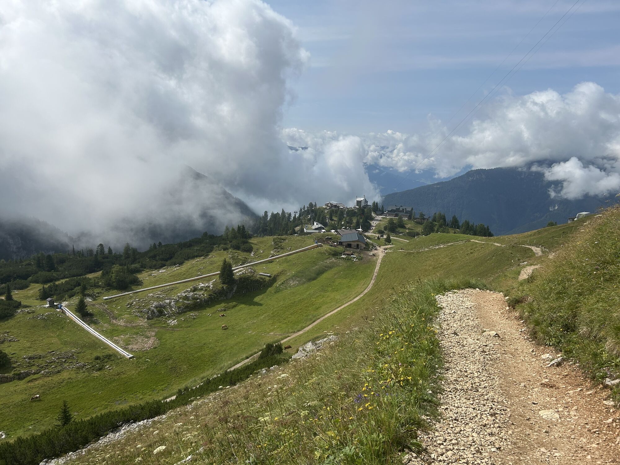
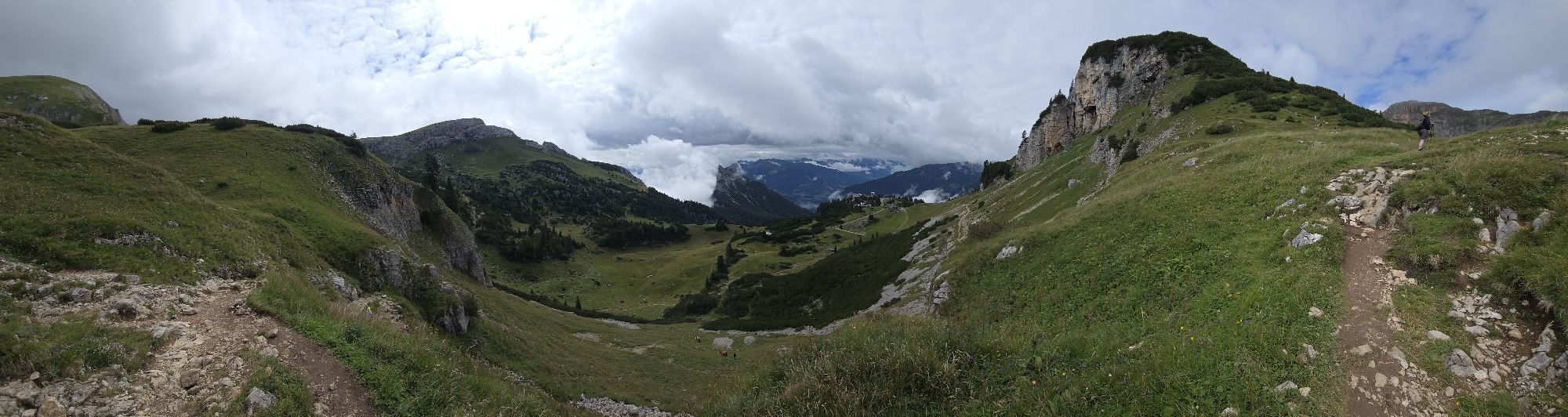
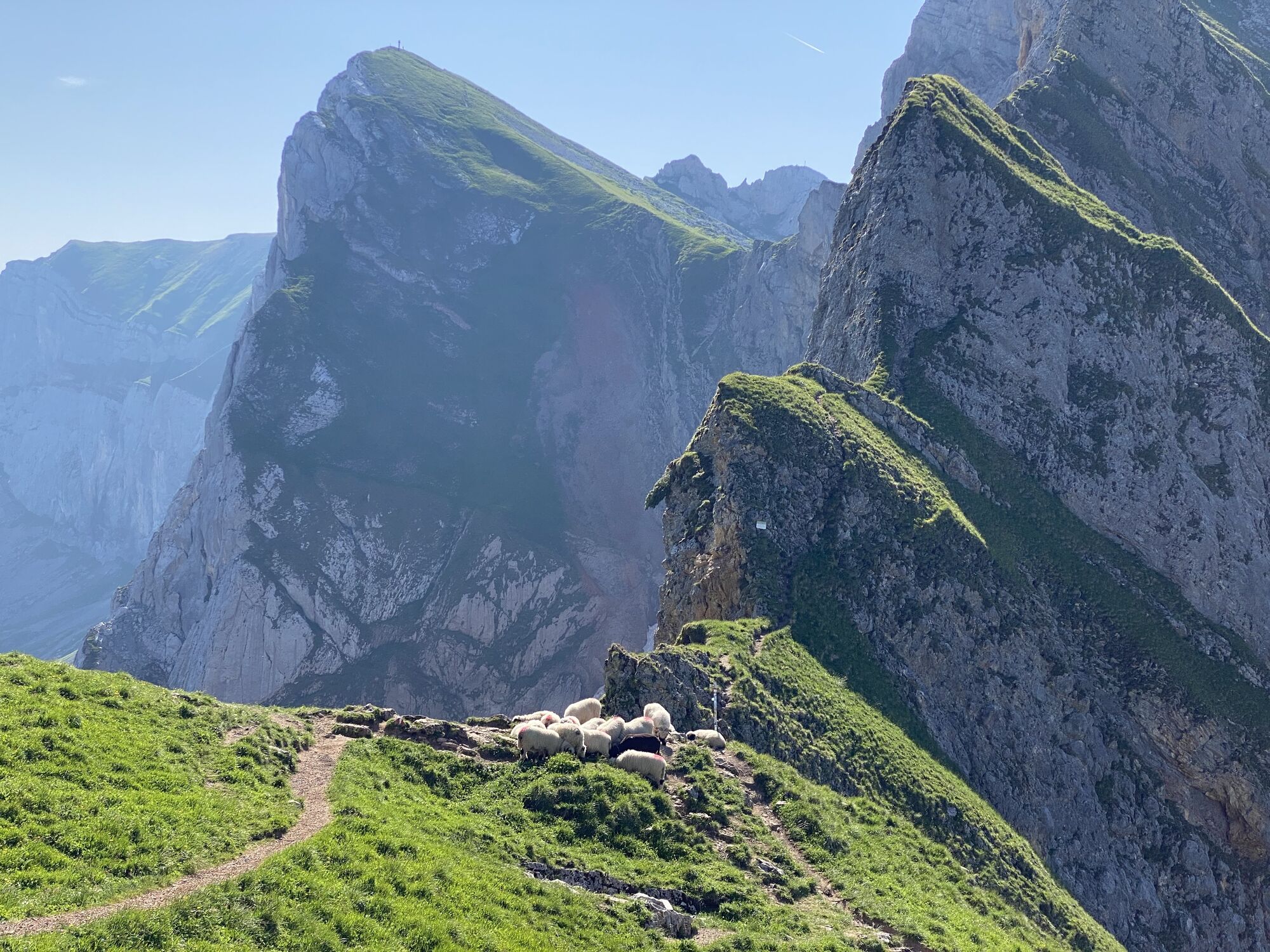
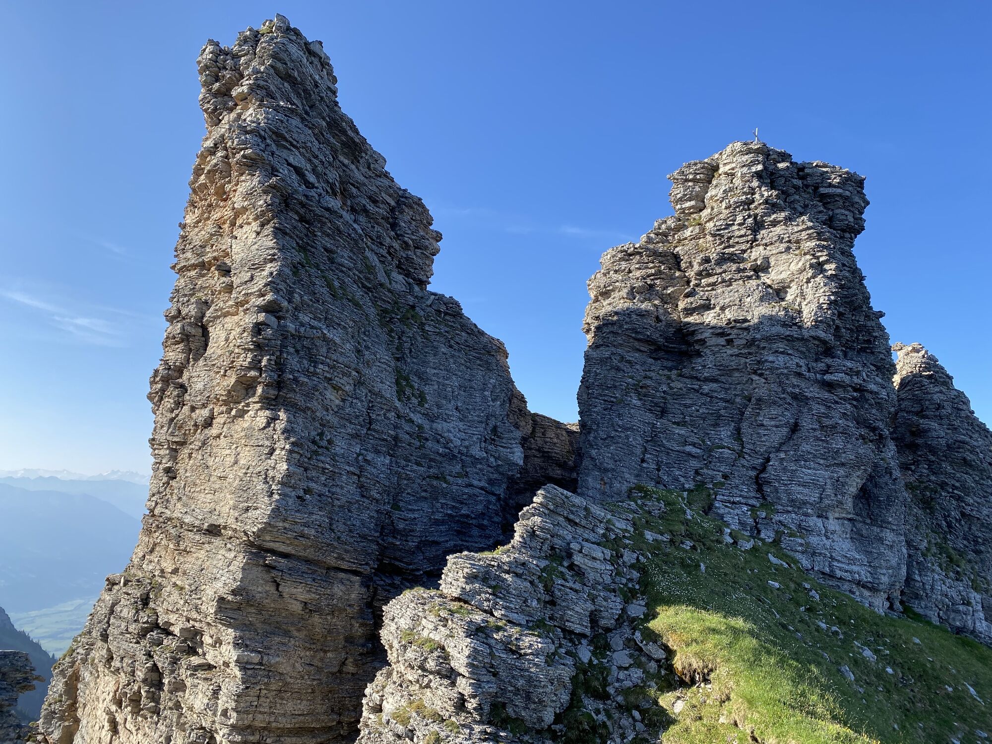
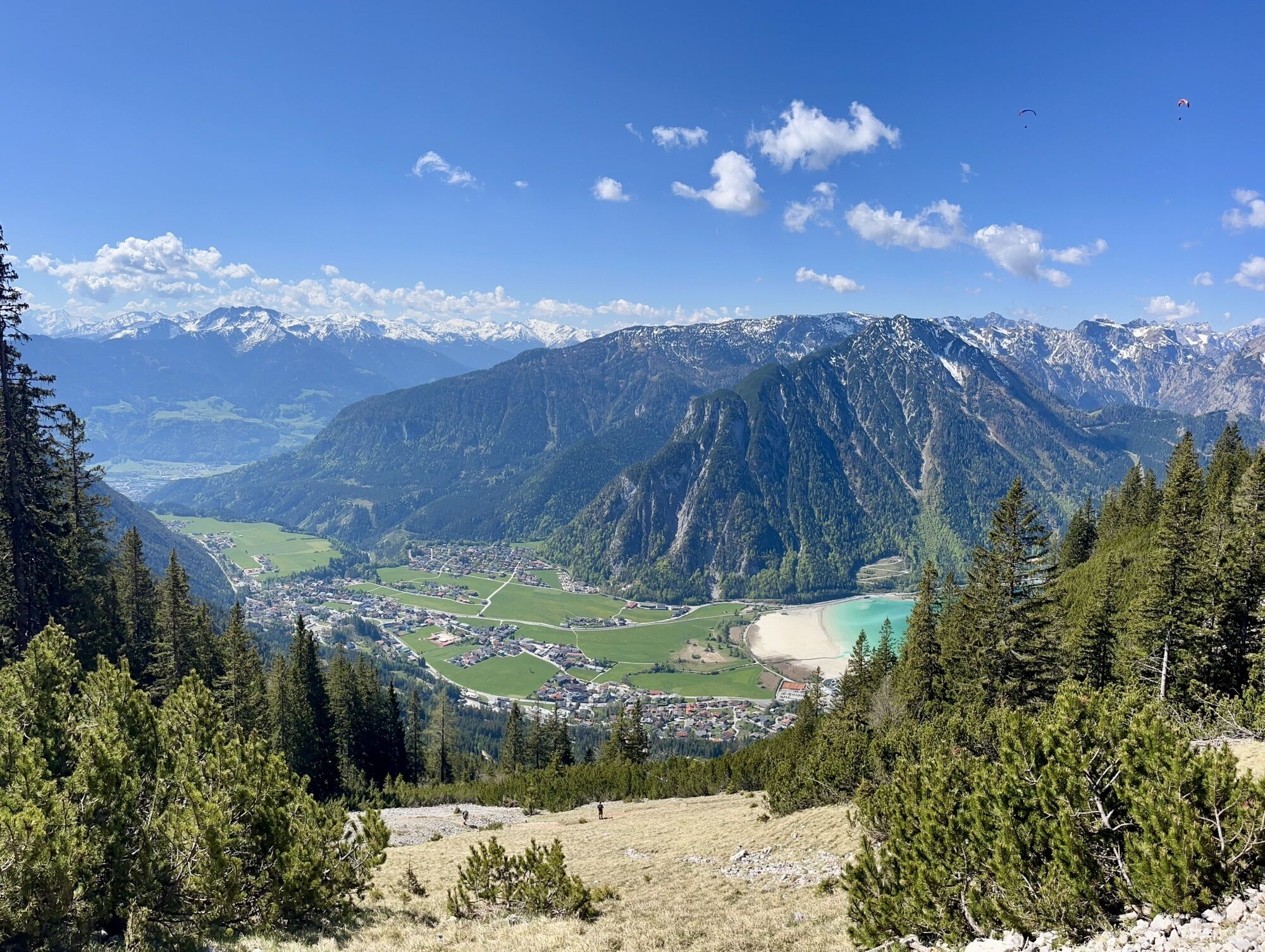
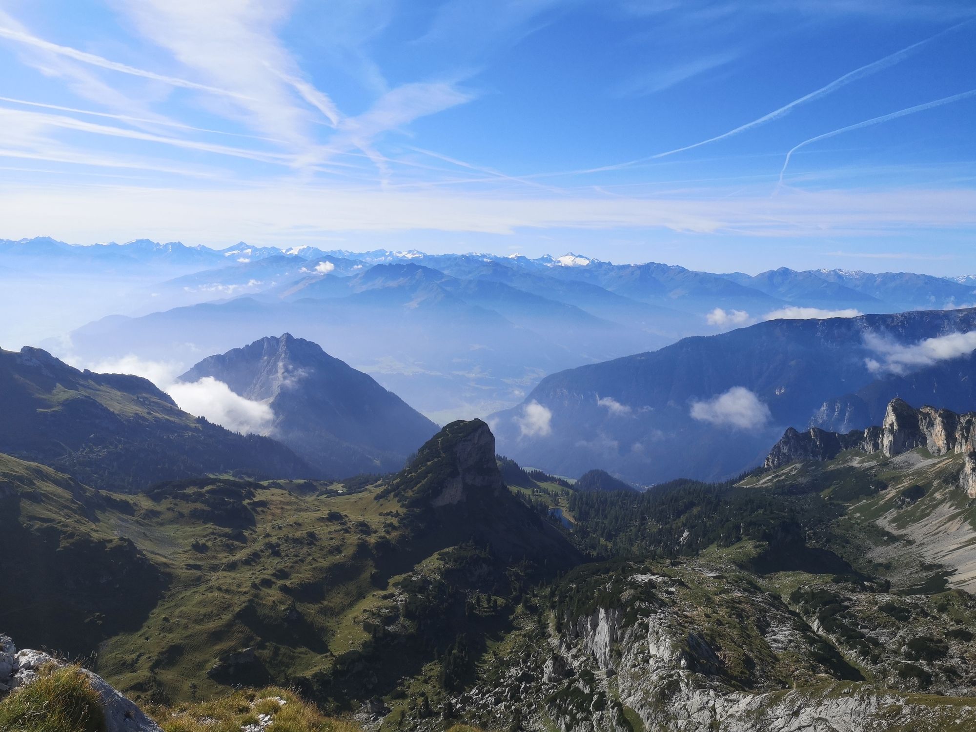
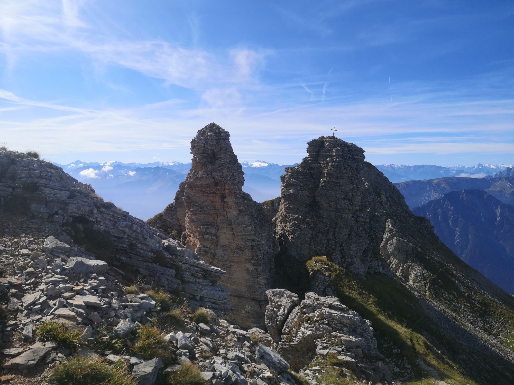
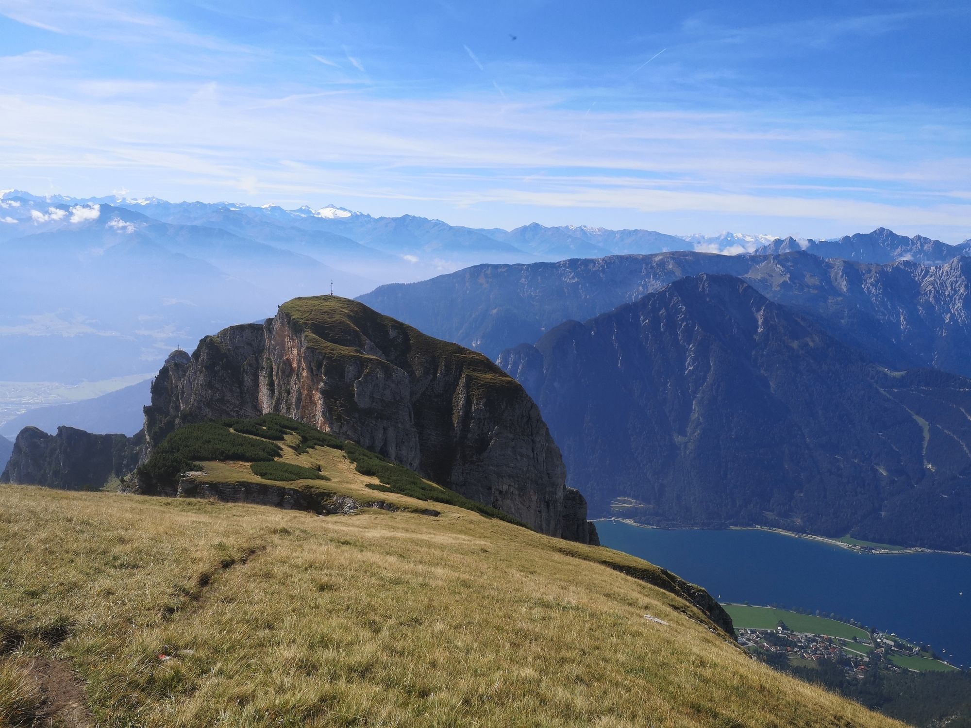
Back at the last signpost you can either turn left and walk down the ascent route (easy option) or you can turn right (direction west) and hike the trail along Dalfazer Kamm ridge. Soon you will reach a steep fixed-rope section and soon afterwards the top of Dalfazer Kamm ridge. Turn left onto the grassy ridge there (trail well visible and marked!). On the ridge you will pass over and pass by several small summits. At one point you will have to ascend a very exposed and nearly vertical fixed-rope section! After that section the trail will become easier again and you will reach patches of mountain pines, right below the summit of Rotspitze mountain which can be ascended in only a few minutes extra. Continue further south, now relatively steeply downhill until you reach the intersection with the very wide trail that leads from the gondola top station to Dalfazalm.Turn left there and you will reach the gondola in about 20 minutes.


*Descent along the ascent route
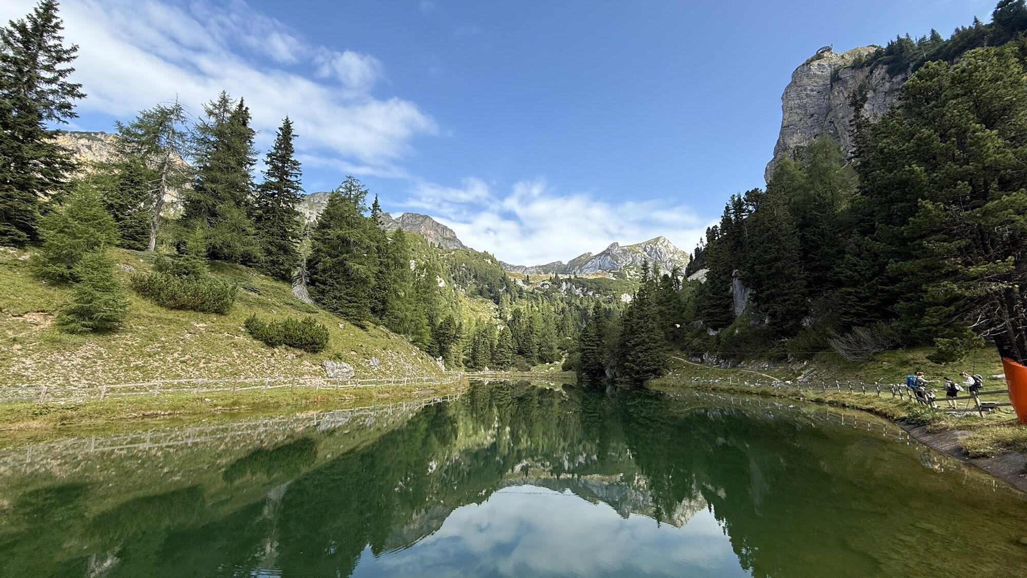
*Route via Dalfazer Alm hut: When you are at the beginning of Dalfazer Kamm ridge do not turn left onto it, but continue straight downhill via Steinernes Törl signpost to Dalfazer Alm hut. From there follow the wide trail back to the top station of the gondola. Route well marked and signposted!
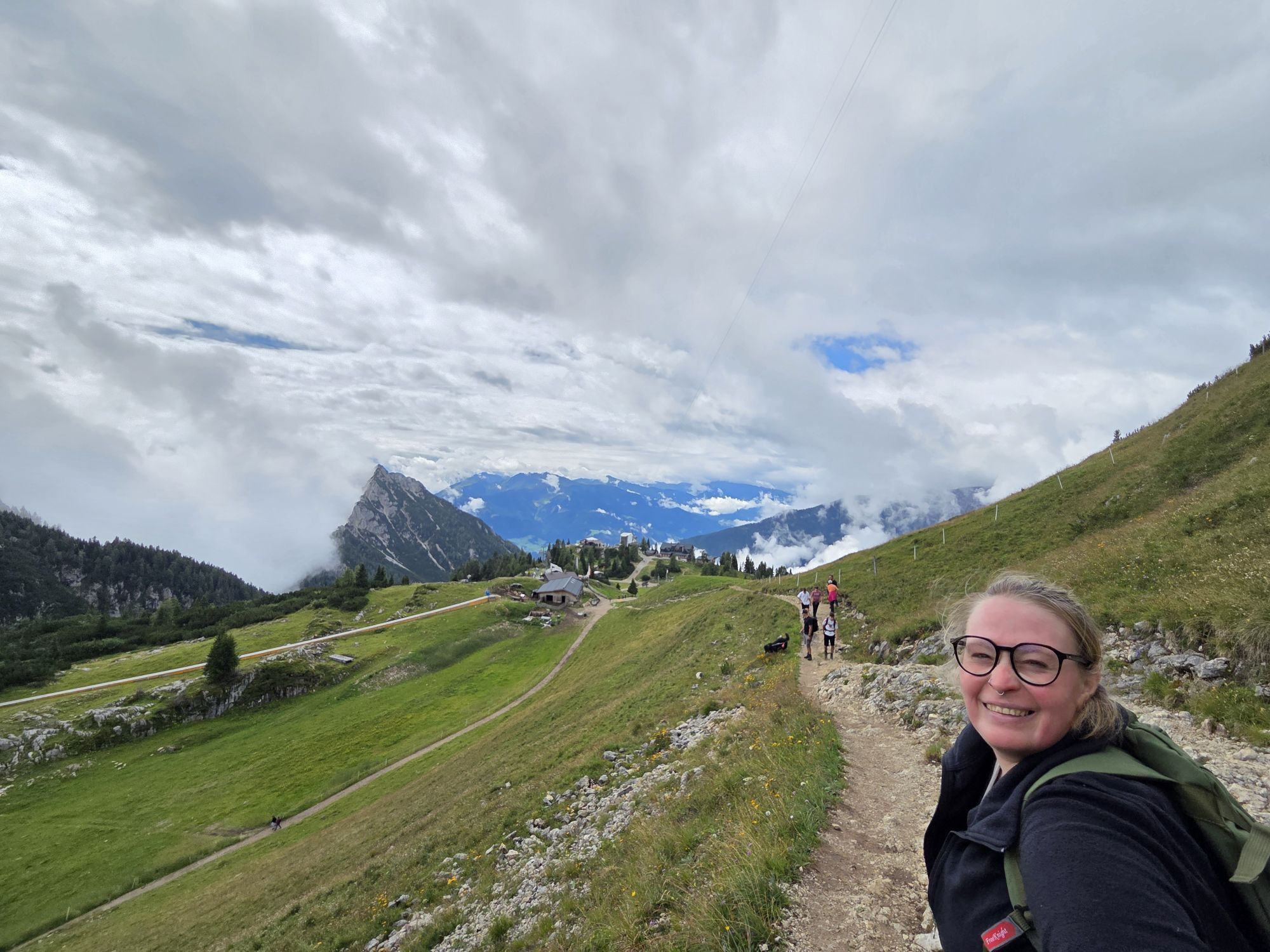
None along the way, but "Erfurter Hütte" hut at the start or end of the hike (right next to the top station)
BEV-map scale 1:25000, NL 32-02-18 West, Achensee
Ano
Ano
Ano
Strong hiking boots, food, drinks, suncream, cap/hat, mobile phone, and everything else one needs in the mountains.
A via ferrata kit is recommended, a helmet as well!
For the most part walking terrain, but the route also includes multiple fixed-rope sections, some of which are steep and exposed. A via-ferrata kit is highly recommended for those who are not familiar with this terrain!
A12 exit Wiesing. From there B181 uphill to Maurach and there turn right to the parking area near the valley station of "Rofanbahn" gondola.
Valley station "Rofanbahn" gondola
Webové kamery z prohlídky
Karwendel
Rofan - Seilbahn Bergstation
Maurach Bergkristall
Achensee - Pertisau Hotel Wiesenhof
Golfclub Achensee
Maurach
Maurach - Rofan
Pertisau - Langlaufzentrum
Pertisau - Hochsteg
Karwendel
Karwendel
Karwendel
Karwendel
Karwendel
Karwendel
Karwendel
Achensee - Wiesenhof
Atoll Achensee
Achensee
Hotel Post
Gasthof Bergkristall
Zwölferkopf Pertisau
Lärchenwiese
Surfclub
Kanzelkehre
Rofanseilbahn - Bergstation


Oblíbené prohlídky v okolí
- 5,0
Eben - Astenau Alpe - Ebner Joch - Eben
středníTuristika 7,82 km - 4,8
Bergstation Rofan Seilbahn - Dalfaz Alm - Bergstation Rofan Seilbahn
světloTuristika 4,94 km - 4,6
Maurach - Dalfaz Alm - Dalfazer Wasserfall - Maurach
středníTuristika 10,4 km - 4,8
Hochiss und Gschöllkopf mit Rofanbahn
středníTuristika 6,40 km - 4,6
Gütenberg und Feilkopf
světloTuristika 10,4 km - 4,6
Achensee-Umrundung
středníTuristika 23,3 km - 4,5
Uferweg von Pertisau zur Gaissalm am Achensee, Österreich
středníTuristika 5,16 km - 4,5
Sonnjoch
středníTuristika 11,2 km - 4,5
Wolfsklamm über Maria Tax
středníTuristika 5,50 km - 4,5
Wandern zum Bärenkopf
středníTuristika 10,9 km
Pěší turistika a stopování


Nenechte si ujít nabídky a inspiraci pro vaši příští dovolenou
Vaše e-mailová adresa byl přidán do poštovního seznamu.