






Hühnersteign
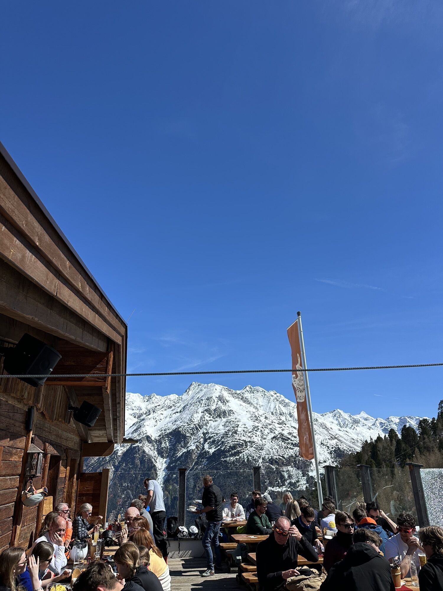
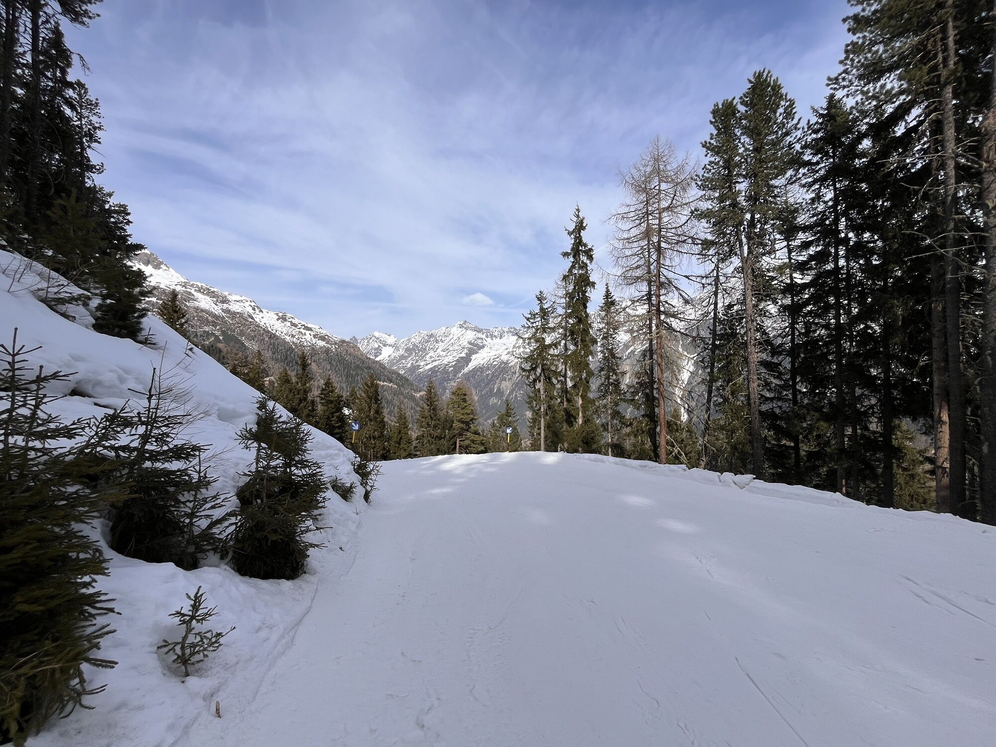
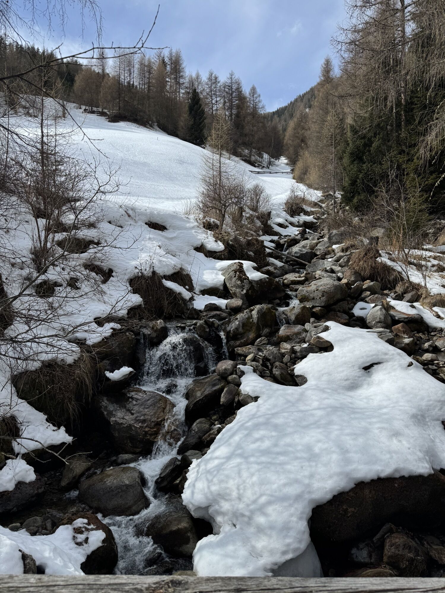
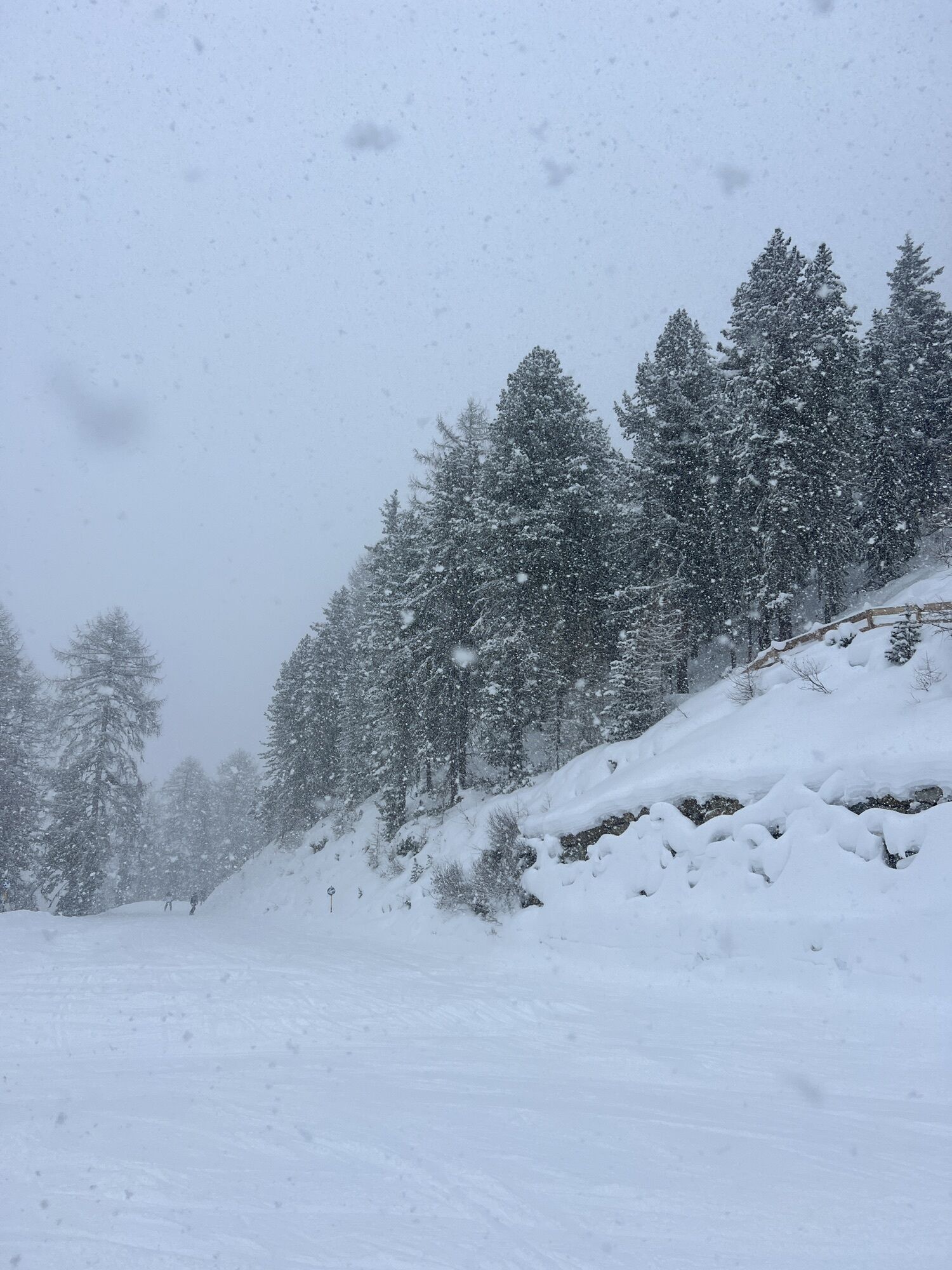
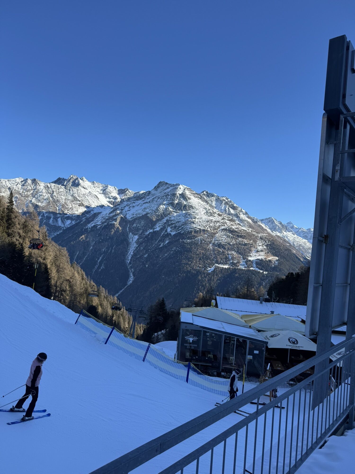
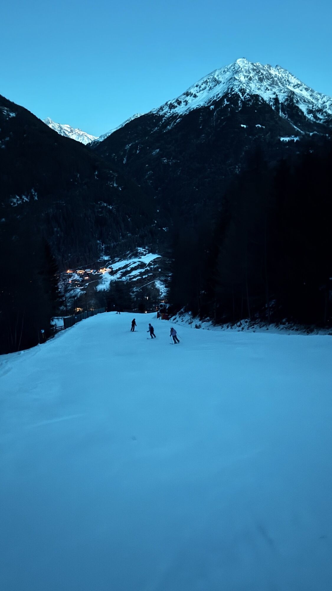
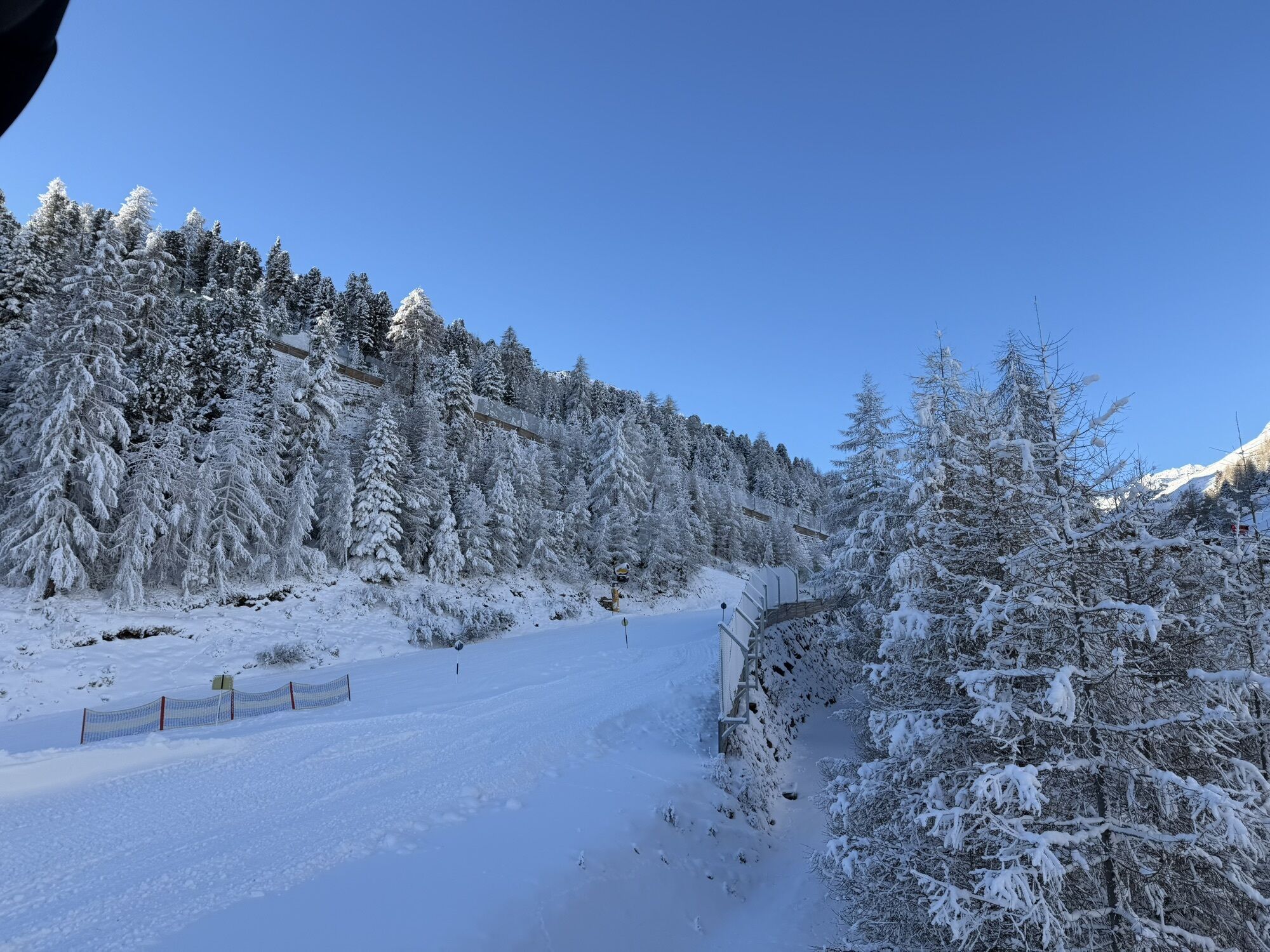
The Hühnersteign in Sölden is something very special – because here, warm hospitality is combined with a cozy atmosphere, both inside and outside. In the midst of the unique mountain world of the Ötztal...
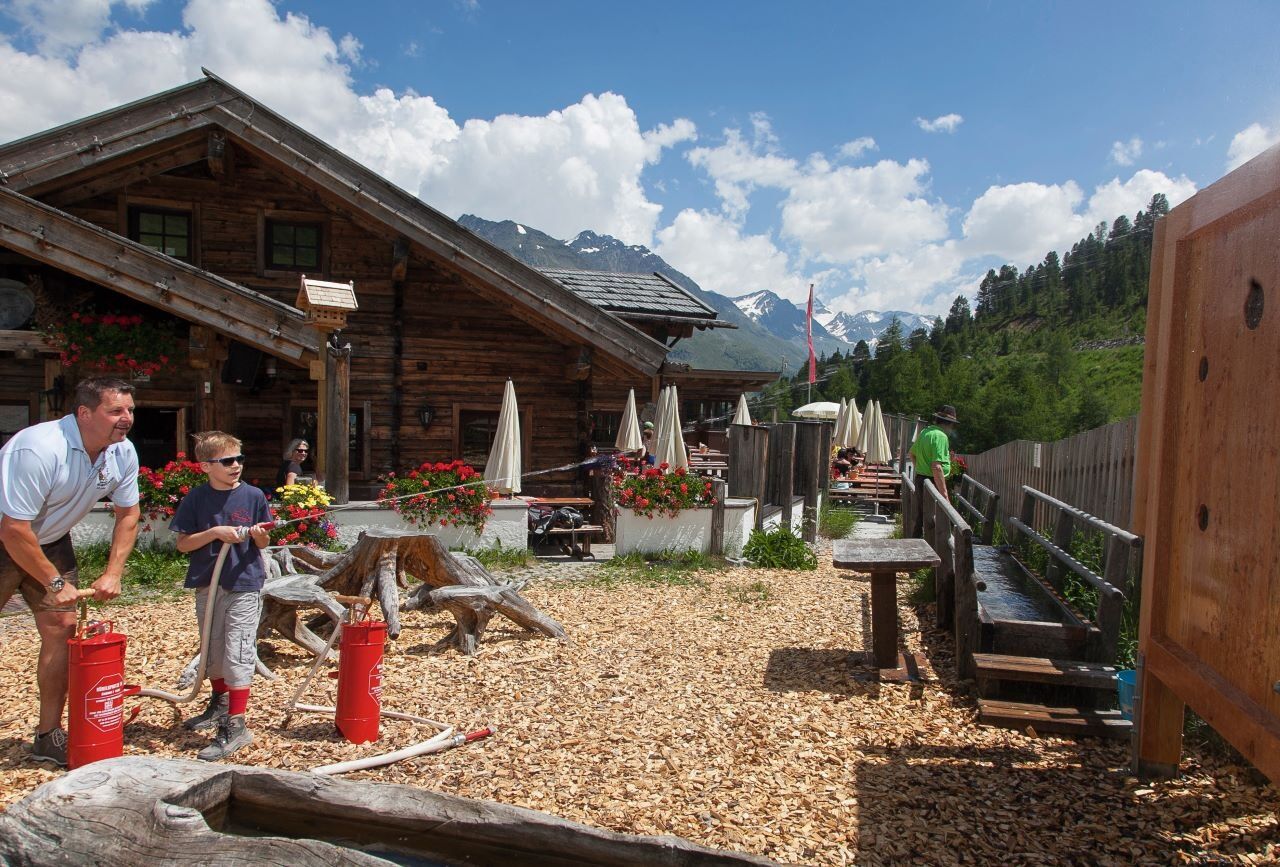
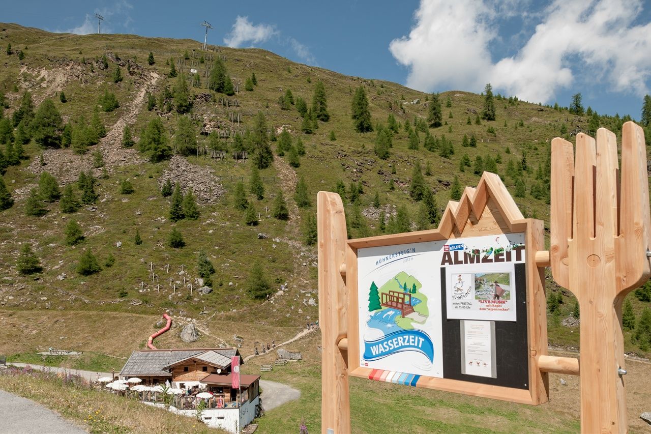
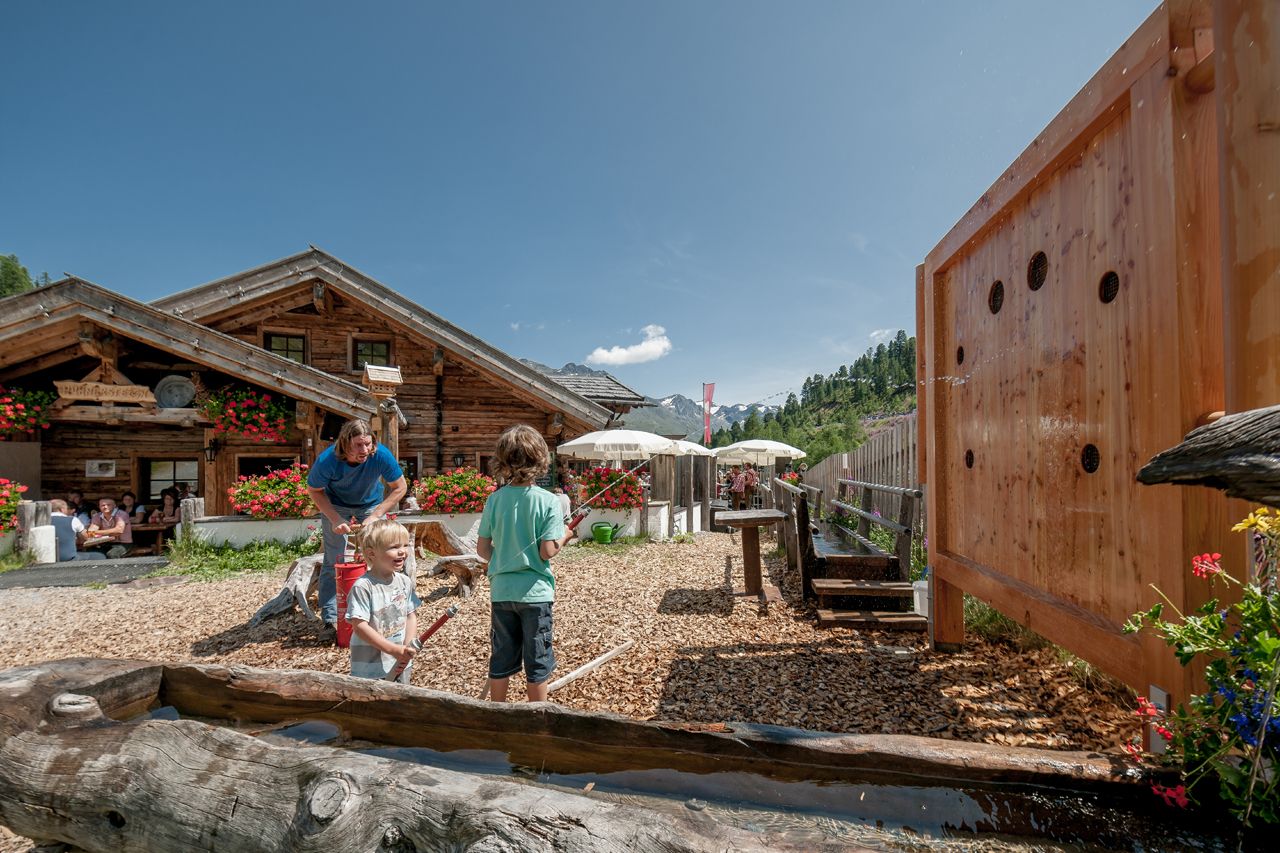
The Hühnersteign in Sölden is something very special – because here, warm hospitality is combined with a cozy atmosphere, both inside and outside. In the midst of the unique mountain world of the Ötztal Alps, guests are spoiled with everything the heart desires.
In summer, the Hühnersteign is the perfect destination for pleasure hikers, mountaineers, and bikers.
Enjoy sunny hours on the wonderful terrace with views of the beautiful mountain panorama, which seems within reach.
The Hühnersteign can be reached via easy hiking trails, starting from the middle station of the Gaislachkoglbahn (approx. 45 minutes) or from Hochsölden via the panorama path (approx. 45 minutes). Additionally, the “Ollweite Line” (a trail of the Bike Republic Sölden) runs directly past the hut.
You can also easily reach the hut by car or bus – from the toll station (Glacier Road), it is only a three-minute walk on foot. From Sölden, walk past the church into the hamlet of Grünwald, continue over the slightly steeper forest path to the road leading to Hochsölden until the turnoff to Gampe Alm. Then continue over Gampe Alm south to the marked path, gently ascending to the Hühnersteign.


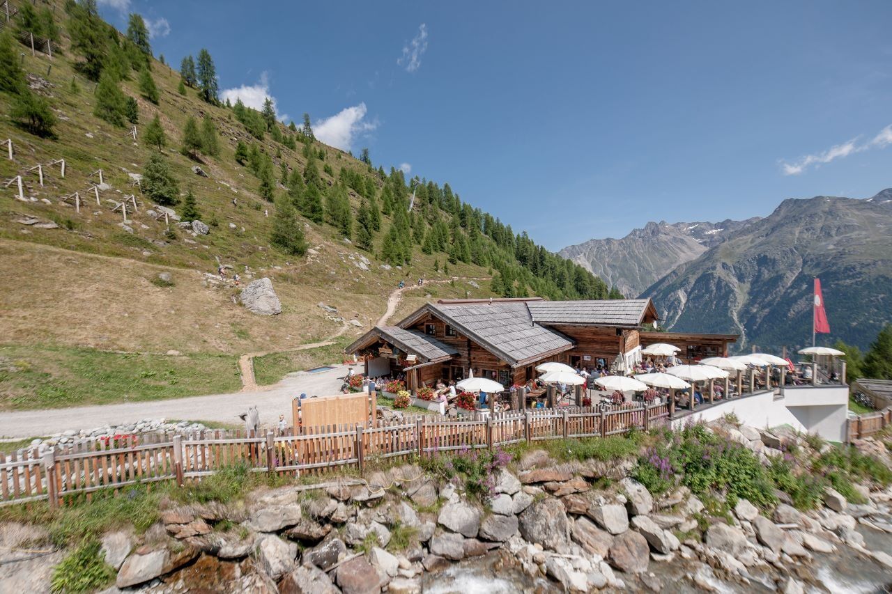
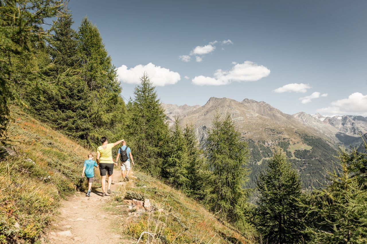
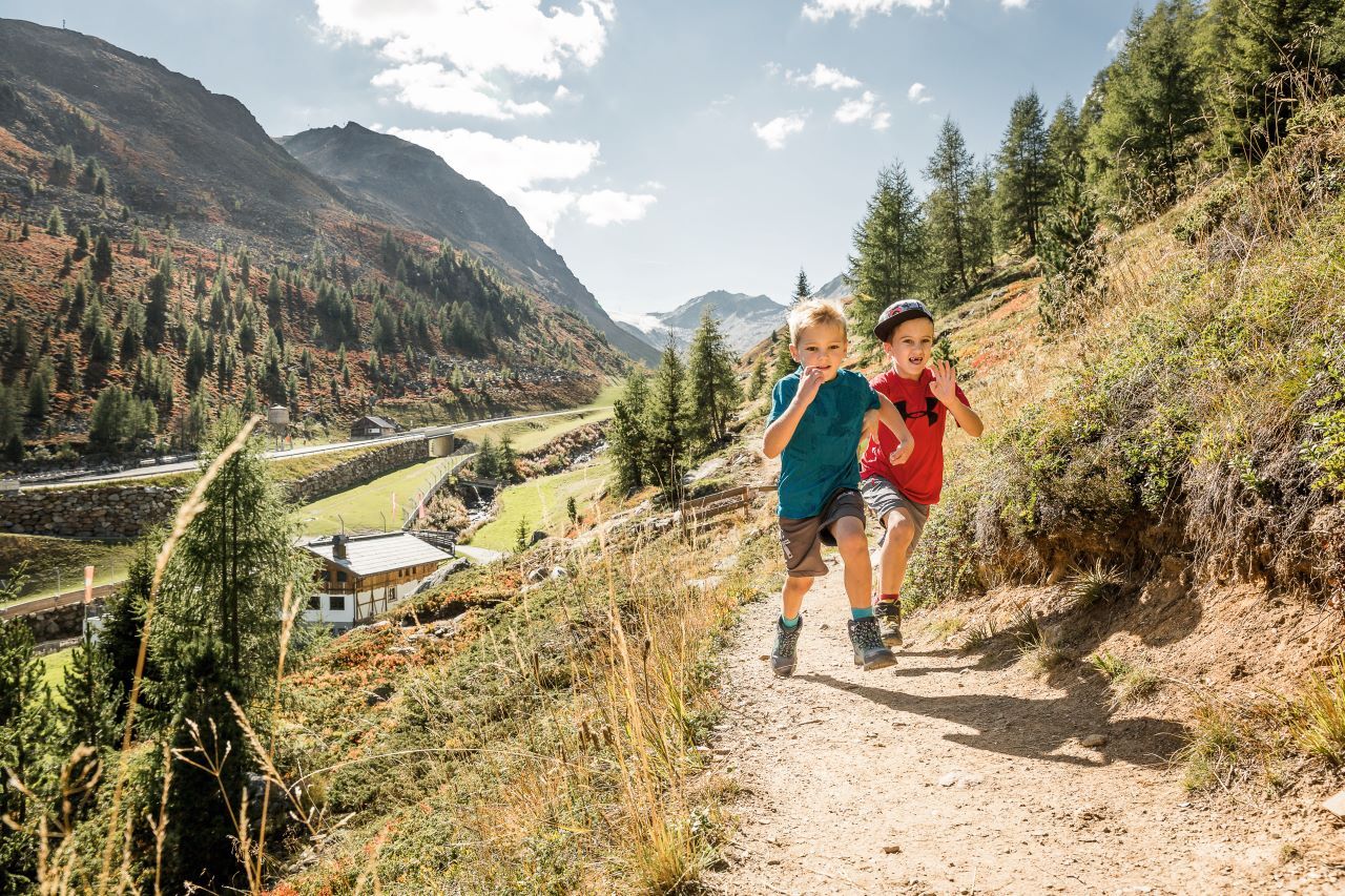

Variant 1: From Sölden via Grünwald and Gampe Alm From Sölden, walk past the church into the Grünwald district. Continue over a slightly steeper forest path up to the road towards Hochsölden. After a short distance, you reach the turnoff to Gampe Alm. From there, the path leads south and gently uphill over a well-marked trail to the Hühnersteign.
ð Walking time: approx. 1.5–2 hours âï¸ Elevation gain: approx. 630 m ð Difficulty: moderate
Variant 2: High path from Hochsölden Those who want to take it easier start in Hochsölden and follow the scenic high path southwards.
The path leads without major elevation changes directly to the Hühnersteign – ideal for families and leisure walkers.
ð Walking time: approx. 45 minutes ð Difficulty: easy
Variant 3: From the middle station of the Gaislachkoglbahn The Gaislachkoglbahn conveniently takes you to the middle station.
From there, an easy hiking trail leads through alpine landscape in about 45 minutes to the Hühnersteign.
ð Walking time: approx. 45 minutes ð Difficulty: easy
Ano
Appropriate equipment such as breathable and weather-appropriate outdoor clothing, ankle-high hiking boots, wind, rain, and sun protection, a hat, possibly gloves, is required for all hikes and tours. Carrying a first aid kit, a mobile phone, and possibly a hiking map, as well as sufficient provisions for hikes without opportunities to stop, is necessary.
Red mountain trails are moderately difficult: some narrow and steep but secured walking and climbing sections await hikers.
The corresponding signs have a yellow background color and show a red circle as a difficulty indicator.
Moderately difficult mountain trail; suitable for sure-footed and experienced mountain hikers;
Good physical condition, mountaineering experience, and mountain equipment (see equipment section) are necessary.
Please check the current weather forecast at: https://www.oetztal.com/de/sommer.html
The car journey to the ÖTZTAL.
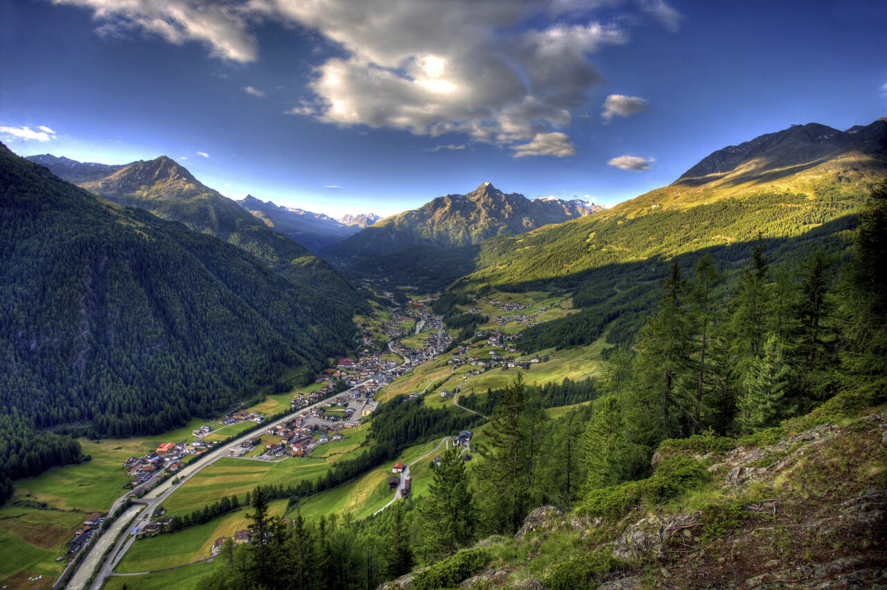
Located in Tyrol, the ÖTZTAL branches south as the longest side valley of the Eastern Alps.
Travel by car takes visitors via the Inn valley to the entrance of the valley and then along the Ötztal.
Besides the toll motorway, country roads can also be used.
With the route planner, your drive can be quickly and conveniently planned: To the route planner: https://www.google.at/maps
Travel comfortably and safely by train to the Ötztal train station. The final stop or exit point is the ÖTZTAL train station.
Afterward, travel conveniently and quickly with public transportation or local taxi companies through the entire valley to your destination.
The current bus schedule is available at: http://fahrplan.vvt.at
In Sölden, the following parking options are available:
Postplatz parking lot Stiegele parking lot Step parking lot Giggijochbahn + underground garage Gaislachkoglbahn + underground garage Hochsölden parking lot Hochsölden parking garage 1st deckThe parking spaces are subject to charges.
For parking over several days (e.g. hut tours):
Gaislachkoglbahn parking garage, parking ticket either online or directly at the Gaislachkoglbahn ticket officeMore information about hiking in the Ötztal: https://www.oetztal.com/wandern
You also have the option in summer and winter to take the glacier bus towards the toll station.
Getting off there, you can reach the Hühnersteign in 2 minutes. The timetable for the glacier bus can be found at the following link https://www.oetztaler.at/linienverkehr/.

Webové kamery z prohlídky
Seekogel
Gaislachkogel
Sölden - Rettenbachferner
Sölden - Hochsölden
Sölden - Grünwald Resort
Sölden - Grünwald Resort
Giggijoch
Giggijoch
Giggijoch
Giggijoch
Giggijoch
Giggijoch
Giggijoch
Giggijoch
Sölden - Gaislachkogelbahn Mittelstation
Sölden - Schwarzkogl Talstation
Hochstubaihütte
Hochstubaihütte
Sölden Ort
The Peak Sölden**** Chalets und Appartements
Získejte přehled Vždy živě na místě s více než 9 500 webkamerami. bergfex Jako uživatel Pro si nyní můžete zobrazit odpovídající webové kamery pro mnoho prohlídek v aplikaci prohlídky z. Můžete si tak přímo prohlédnout aktuální podmínky. 
Oblíbené prohlídky v okolí
- 4.5
Winnebachsee Hut – Längenfeld/Gries
středníTuristika 4.74 km - 4.4
Rundwanderung Hängebrück3
světloTuristika 6.32 km - 4.7
Winter circular route Brandalm/Burgstein - Längenfeld 204
středníZimní turistika 5.44 km - 4.3
Amberger Hut - Längenfeld/Gries
středníTuristika 5.60 km - 4.4
Hochtour Wildspitze, 3.768m
středníVysokohorská turistika 9.75 km - 4.4
Vent - Wilder Mann - Breslauer Hütte - Stableinalm
středníTuristika 7.25 km - 3.8
Breslauer Hut
středníTuristika 4.75 km - 3.1
Tiefenbachglacier - Mountaineering Village Vent
středníTuristika 10.8 km - 5.0
Dresdner hütte - sulzenauerhütte
středníTuristika 12.1 km - 4.1
Hohe Geige über Gawinden und den Westgrat
heavyTuristika 14.3 km
Pěší turistika a stopování


Nenechte si ujít nabídky a inspiraci pro vaši příští dovolenou
Vaše e-mailová adresa byl přidán do poštovního seznamu.





