
GPS Test Marie-Theres
světlo
Pořiďte si tuto prohlídku do mobilního telefonu
GPS Test Marie-Theres
světlo
Turistika
5.82
km
Naskenujte QR kód a spusťte navigaci v aplikaci bergfex.


Pěší turistika a stopování





GPS Test Marie-Theres
světlo
Vzdálenost
5.82
km
Doba trvání
-
h
Ascent
150
hm
Hladina moře
1387 -
1555
m

Navigujte po trase v aplikaci
Nainstalujte si aplikaci zdarma a mějte trasu vždy na očích díky GPS navigaci a sledování polohy.
Využijte nyní službu „ bergfex “ v aplikaci
Naskenuj QR kód pomocí fotoaparátu
Jakmile je aplikace nainstalována, obsah se otevře přímo. Pokud aplikaci ještě nemáš, budeš přesměrován na stránku, kde si ji můžeš zdarma stáhnout.
Stažení skladby
GPS Test Marie-Theres
světlo
Turistika
5.82
km
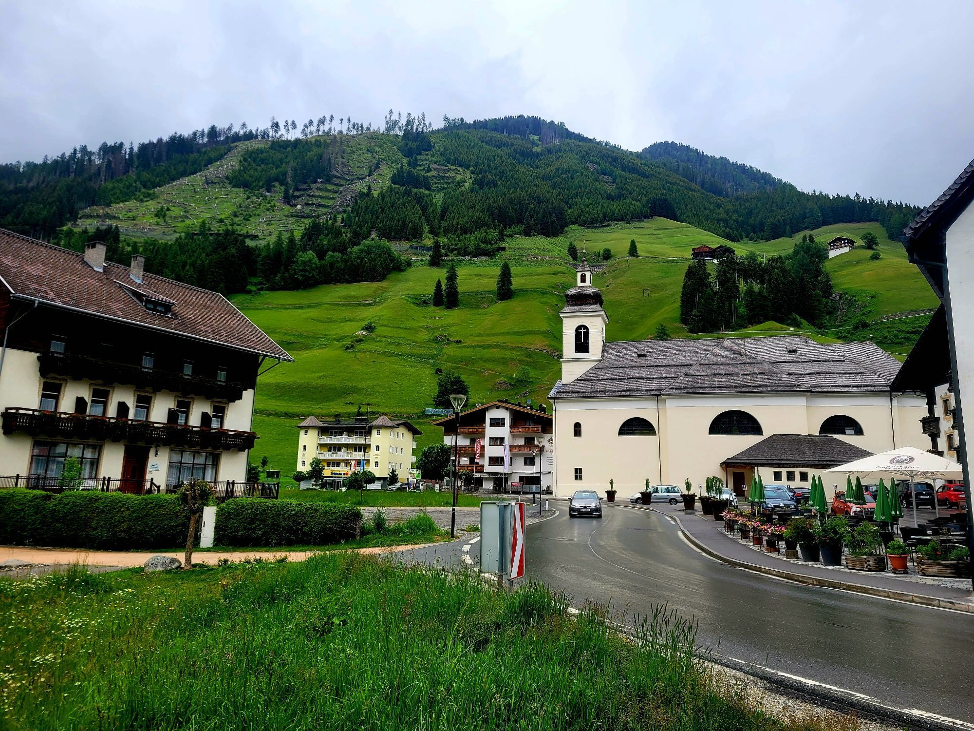
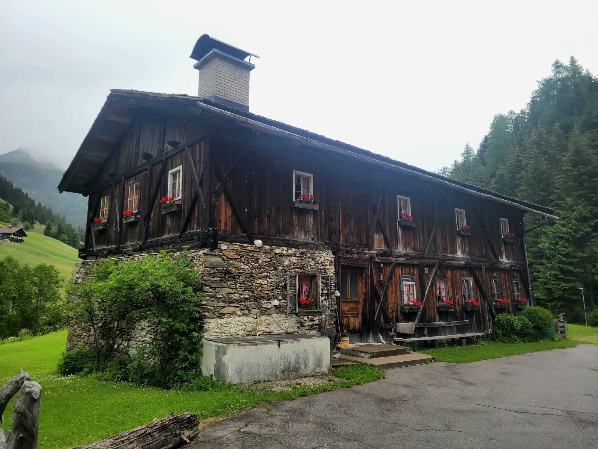
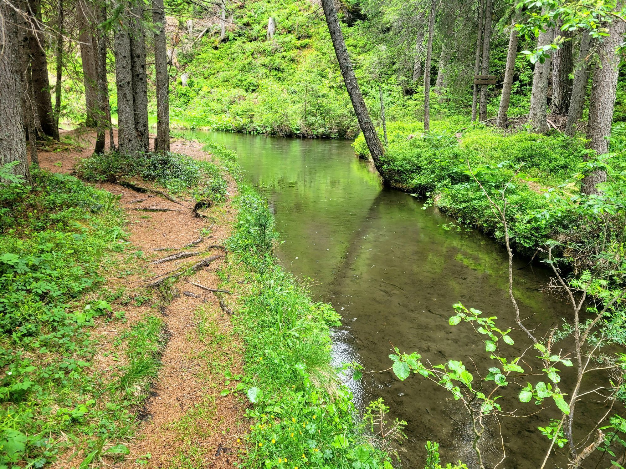
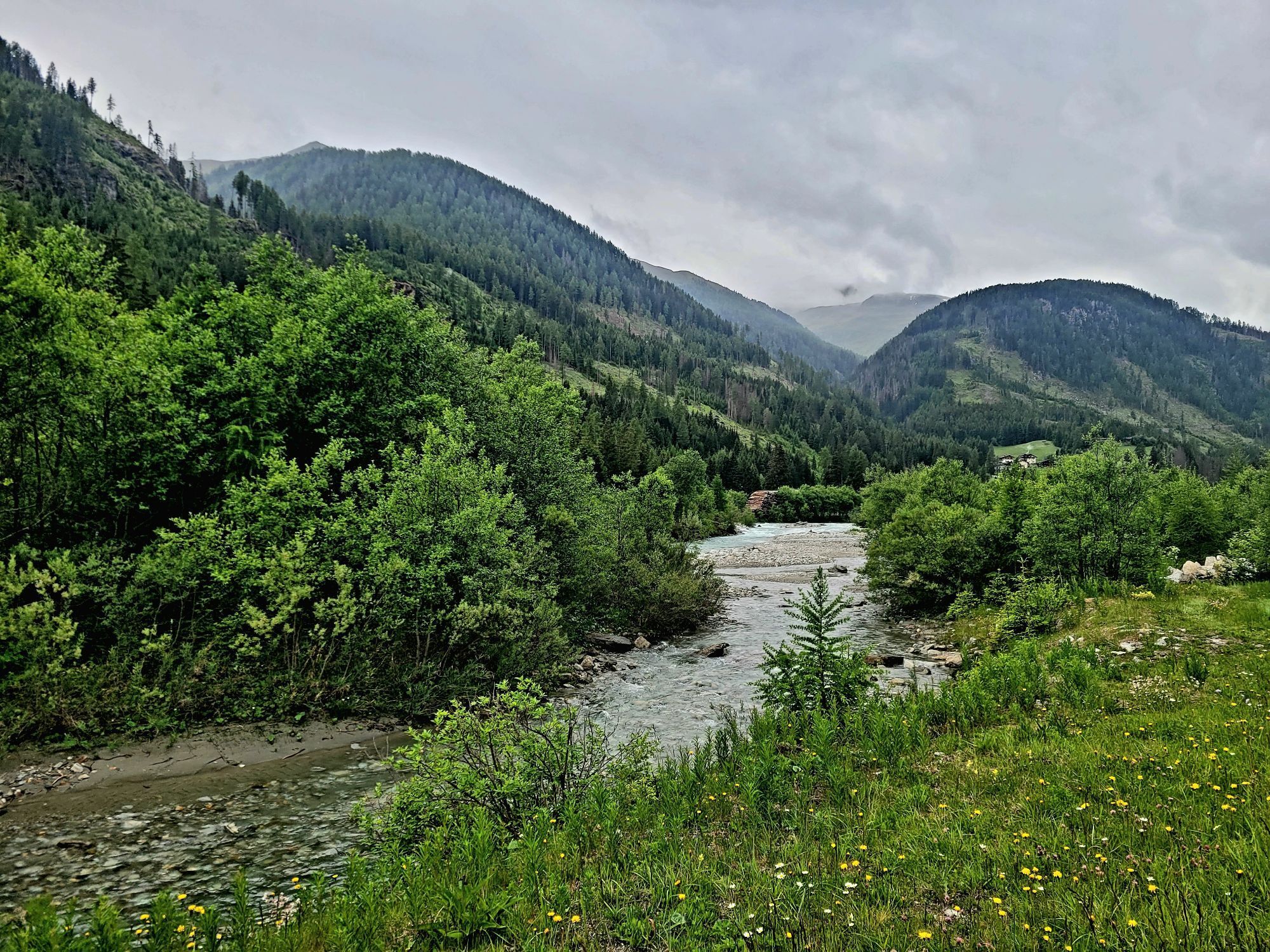
Trasa
Pfarrkirche St. Jakob
(1389 m)
Místo konání bohoslužeb
0.1 km
Oberrotte
(1417 m)
Sousedství
1.0 km
Erlsbach
(1543 m)
Vypořádání
5.7 km
Trasa
GPS Test Marie-Theres
světlo
Turistika
5.82
km
St. Jakob
(1384 m)
Vesnice
0.0 km
Pfarrkirche St. Jakob
(1389 m)
Místo konání bohoslužeb
0.1 km
Unterrotte
(1451 m)
Sousedství
0.5 km
Oberrotte
(1417 m)
Sousedství
1.0 km
Maria Hilf
(1419 m)
Vypořádání
2.6 km
Frattentümpfel
(1485 m)
Vodopád
4.6 km
Alpengasthof Alpenrose
(1561 m)
Restaurace
5.6 km
Erlsbach
(1543 m)
Vypořádání
5.7 km


Vybavení
Basic equipment for mountain hiking includes sturdyâ¯hikingâ¯boots with a good tread, a 30-35 liter backpack, and functional clothing based on the layering principle, including sufficient spare clothes. Essential items are rain, cold, and sun protection, adequate fluids and food, as well as a first-aid kit and a charged mobile phone. A map or a GPS device supports orientation.
The information serves as a guideline and does not claim to be exhaustive. Equipment must always be adapted to theâ¯planned route, weather conditions, season, natural hazards, environmental influences, and personal needs.
Zatím žádné recenze
Webové kamery z prohlídky

Všechny webové kamery na mapě
Nainstaluj si aplikaci zdarma a porovnej si živé záběry z několika míst, než vyrazíš.
Využijte nyní službu „ bergfex “ v aplikaci
Naskenuj QR kód pomocí fotoaparátu
Jakmile je aplikace nainstalována, obsah se otevře přímo. Pokud aplikaci ještě nemáš, budeš přesměrován na stránku, kde si ji můžeš zdarma stáhnout.
Oblíbené prohlídky v okolí
- 4.8
NaturKraftWeg Umbalfälle
světloTematická stezka 5.99 km - 4.8
Circular hike suspension bridge Isel Canyon via "Hohe Bank"
středníTuristika 8.11 km - 4.8
Antholzer See - Steinzger Alm
středníTuristika 7.48 km - 4.8
Stoden - Clarahütte
středníTuristika 7.12 km - 4.7
Von Kalkstein auf das Toblacher Pfannhorn (2.663 m) und Marchkinkele
středníTuristika 14.2 km - 4.9
Oberhausalm - Jagdhaushütte
světloTuristika 14.0 km - 4.7
Rund um den Antholzer See
světloTuristika 4.27 km - 4.6
Rote Wand
středníVysokohorská turistika 12.0 km - 4.4
Seespitze
středníTuristika 13.7 km - 5.0
Muhs-Panoramaweg
středníTuristika 14.0 km
Pěší turistika a stopování

Více než 550.000 návrhů výletů, podrobné mapy a intuitivní plánovač tras dělají z aplikace nezbytnou výbavu pro všechny milovníky přírody.

Nenechte si ujít nabídky a inspiraci pro vaši příští dovolenou
Přihlaste se k odběru newsletteru
Chyba
Došlo k chybě. Zkuste to prosím znovu.Děkujeme za vaši registraci
Vaše e-mailová adresa byl přidán do poštovního seznamu.
Zájezdy po celé Evropě
Rakousko Švýcarsko Německo Itálie Slovenia Francie Nizozemsko Belgie Polsko Lichtenštejnsko Česko Slovensko Španělsko Chorvatsko Bosna a Hercegovina Lucembursko Andorra Portugal Iceland United Kingdom Ireland Greece Albania North Macedonia Malta Norway Montenegro Moldova Kosovo Hungary San Marino Romania Estonia Latvia Belarus Cyprus Lithuania Serbia Bulgaria Monaco Denmark Sweden Finland





