







Walter Mair Trail Lienzer Talboden - Stage 1

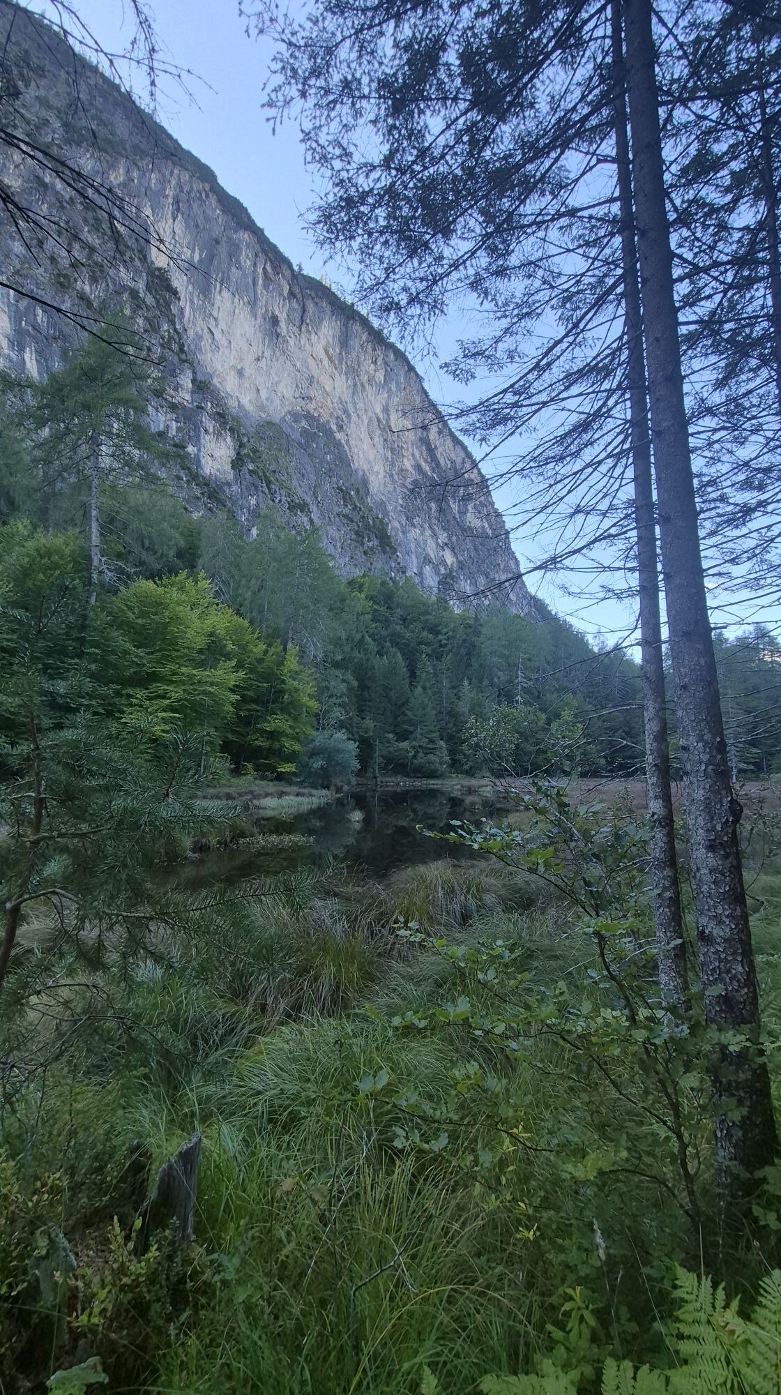
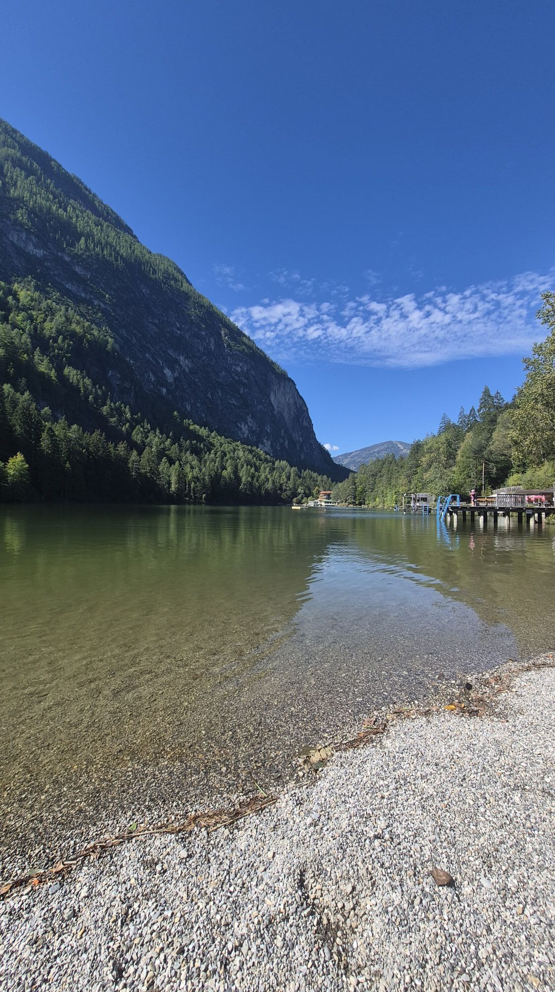
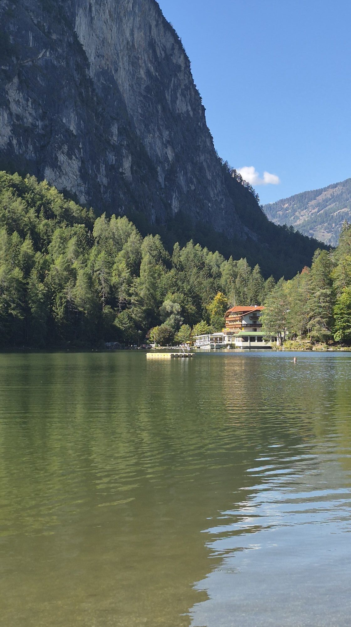
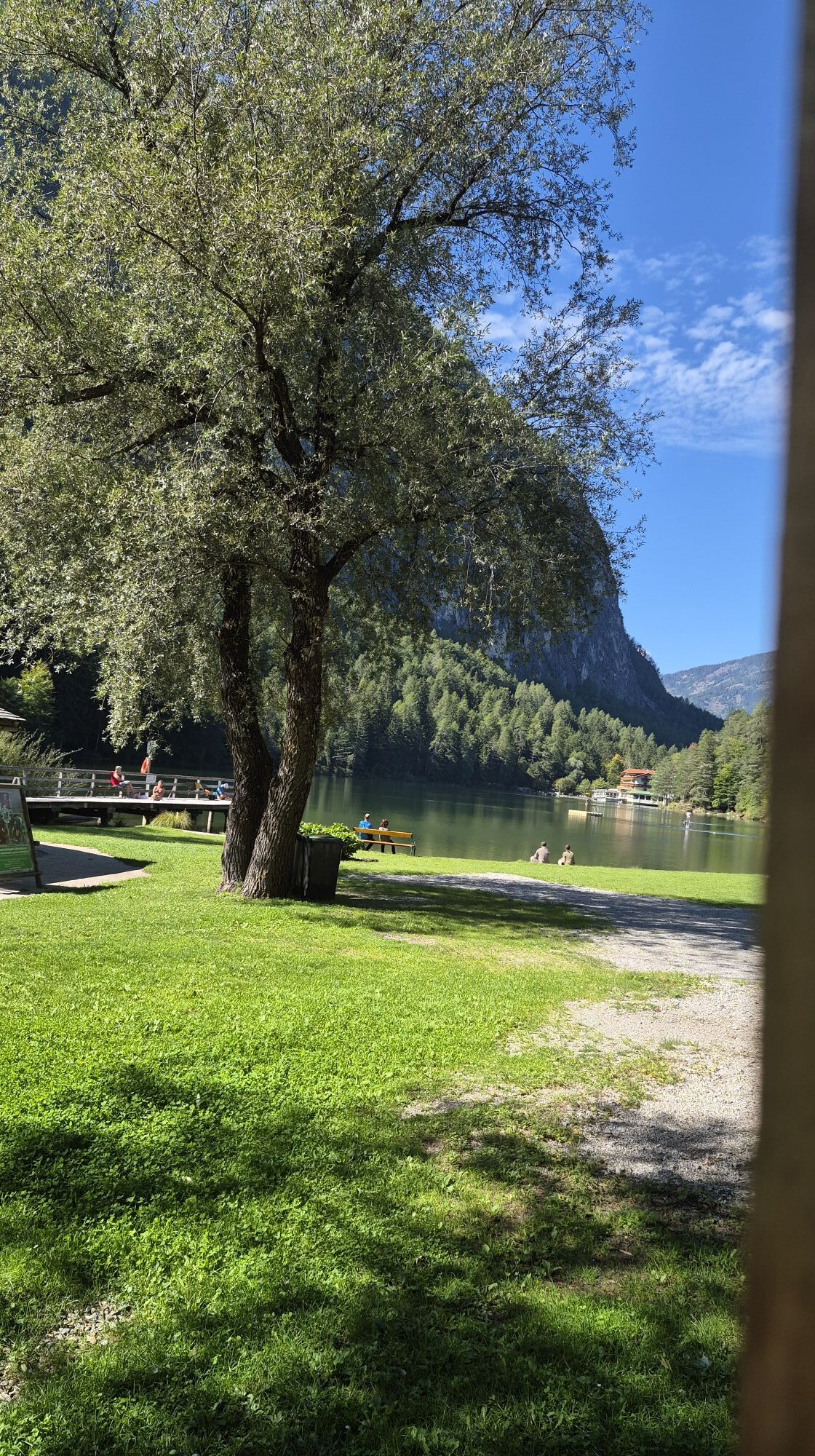
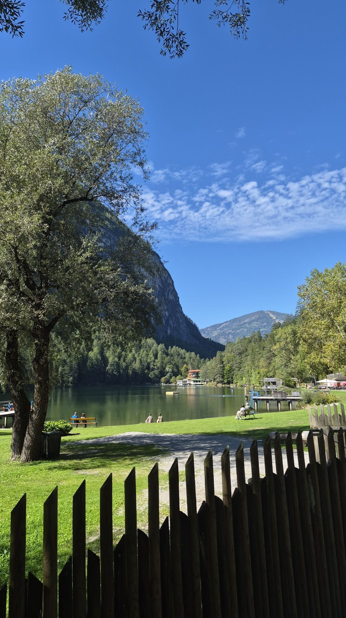
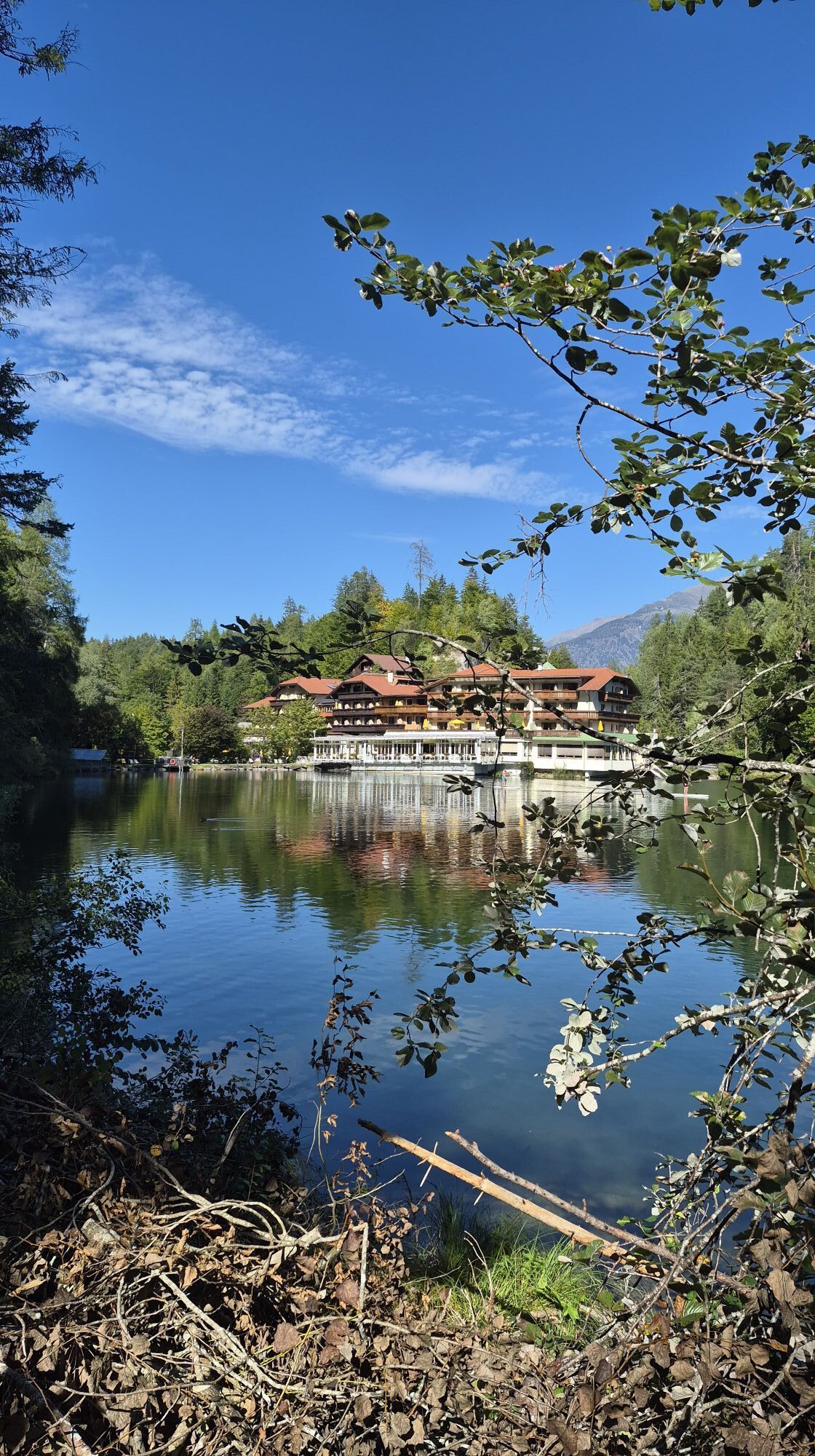
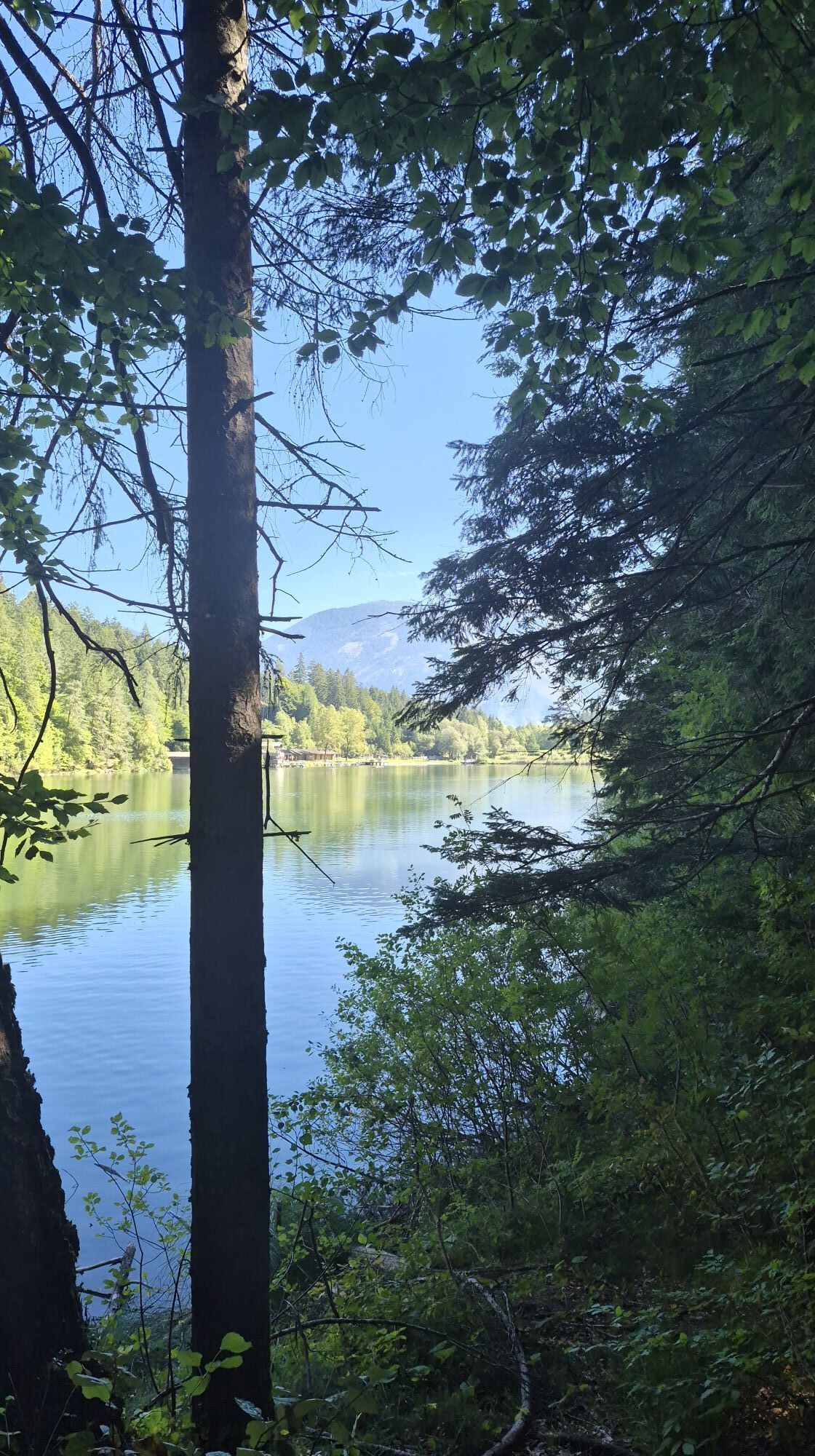
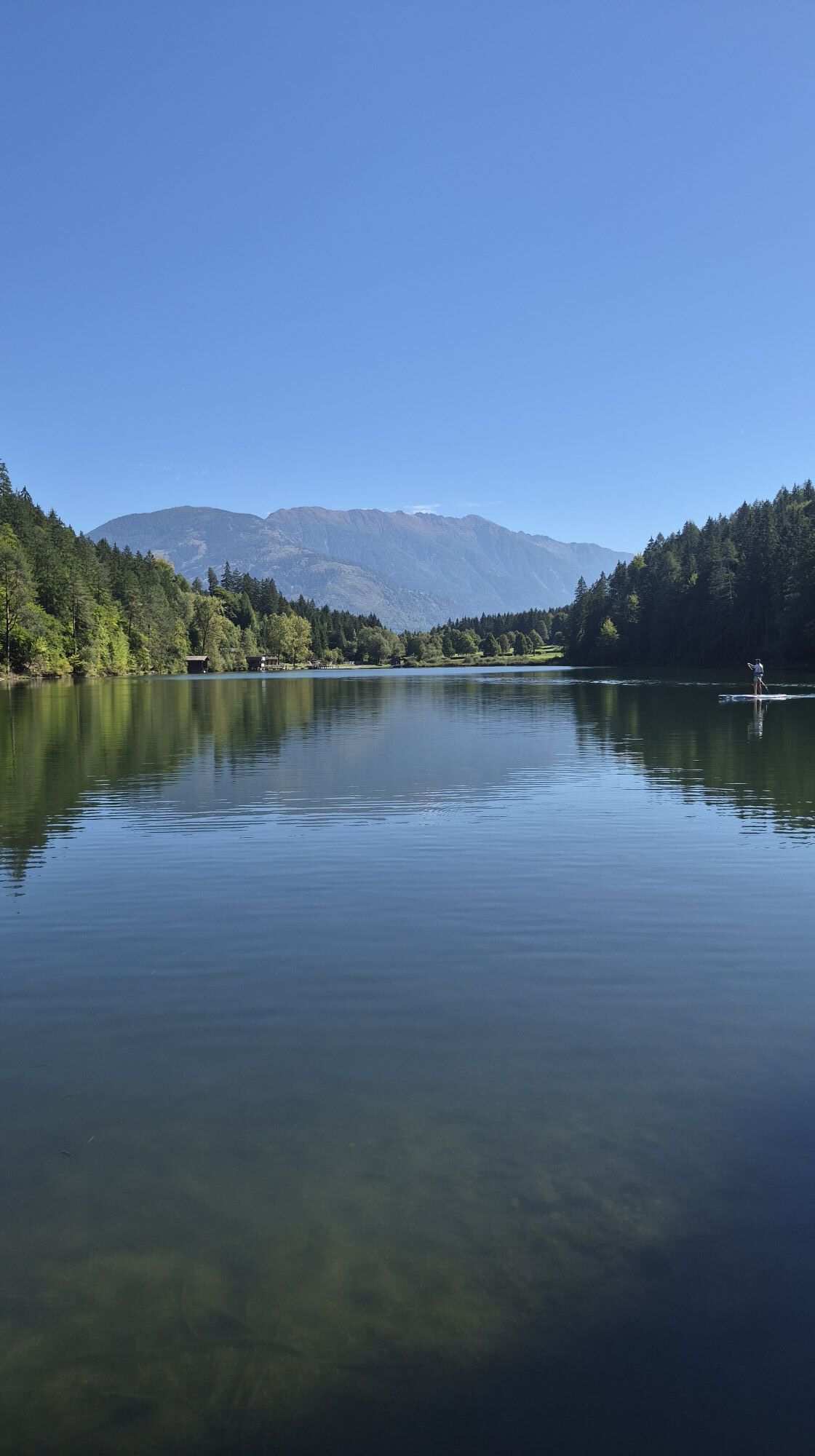
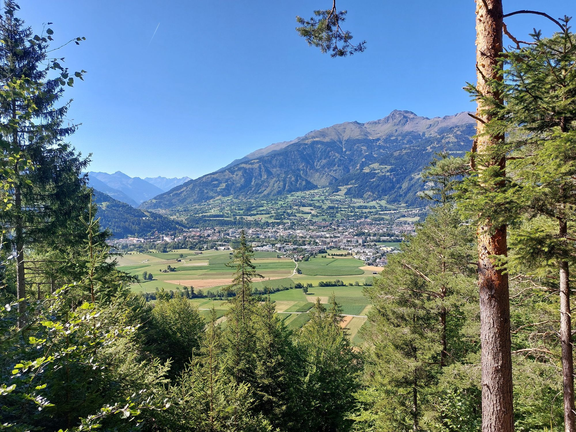
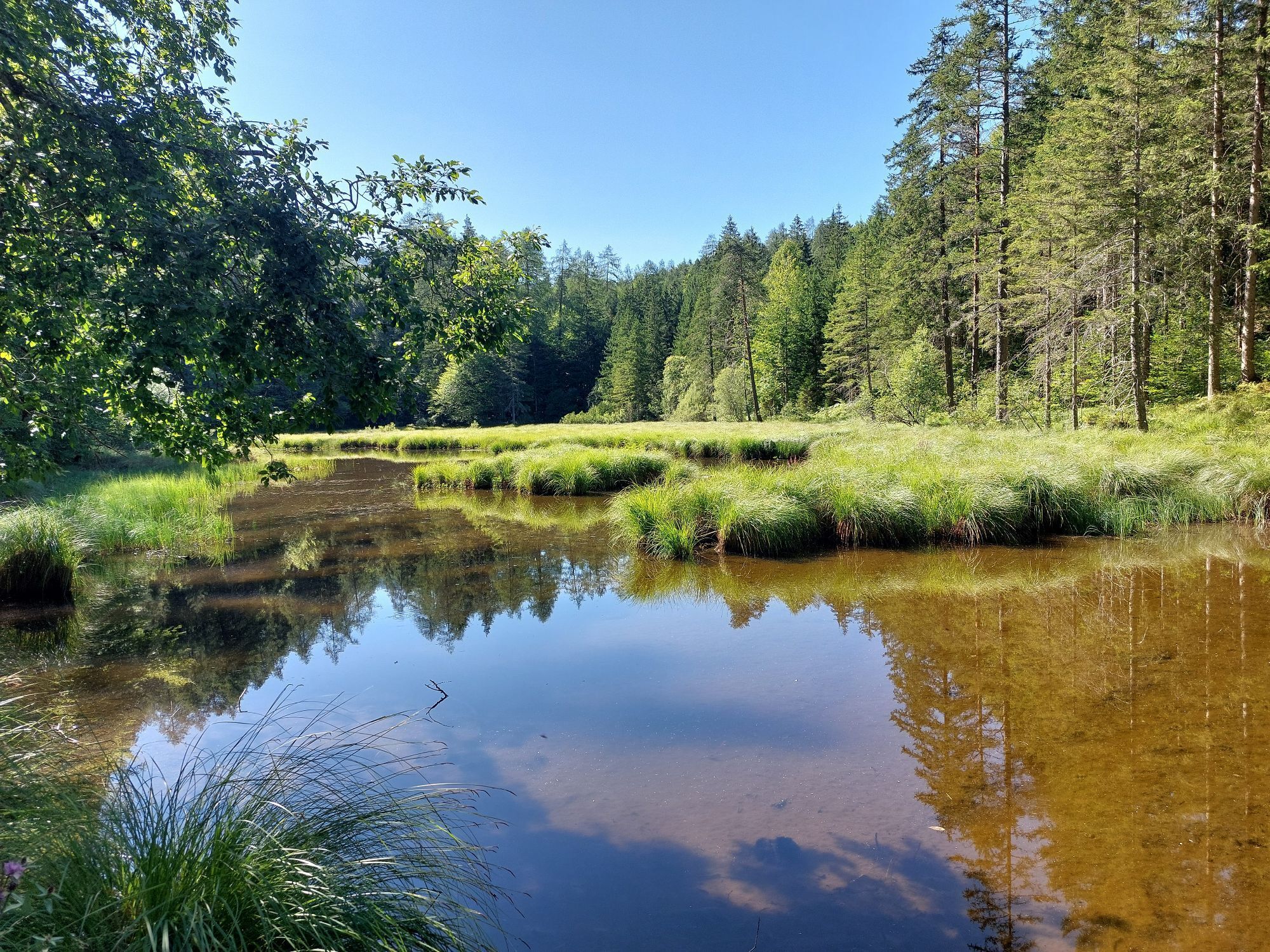
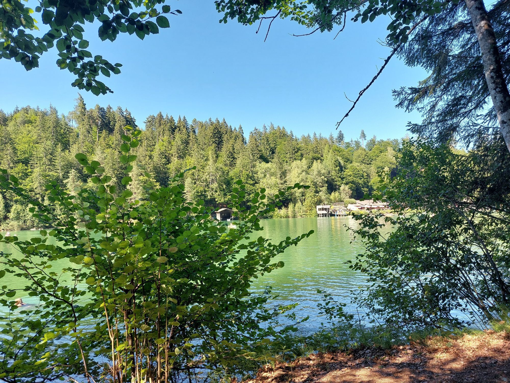
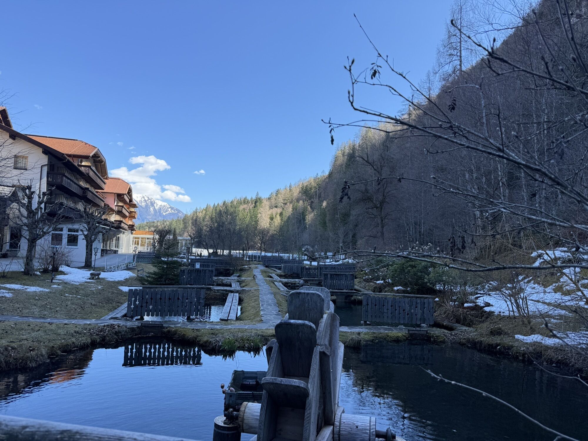
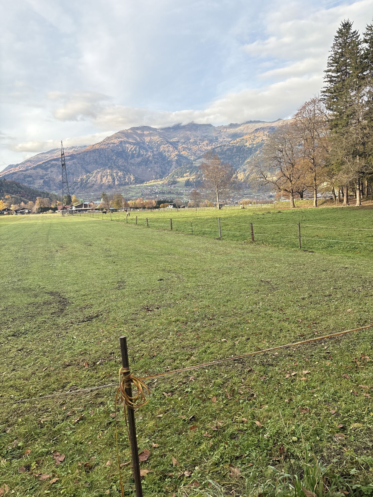
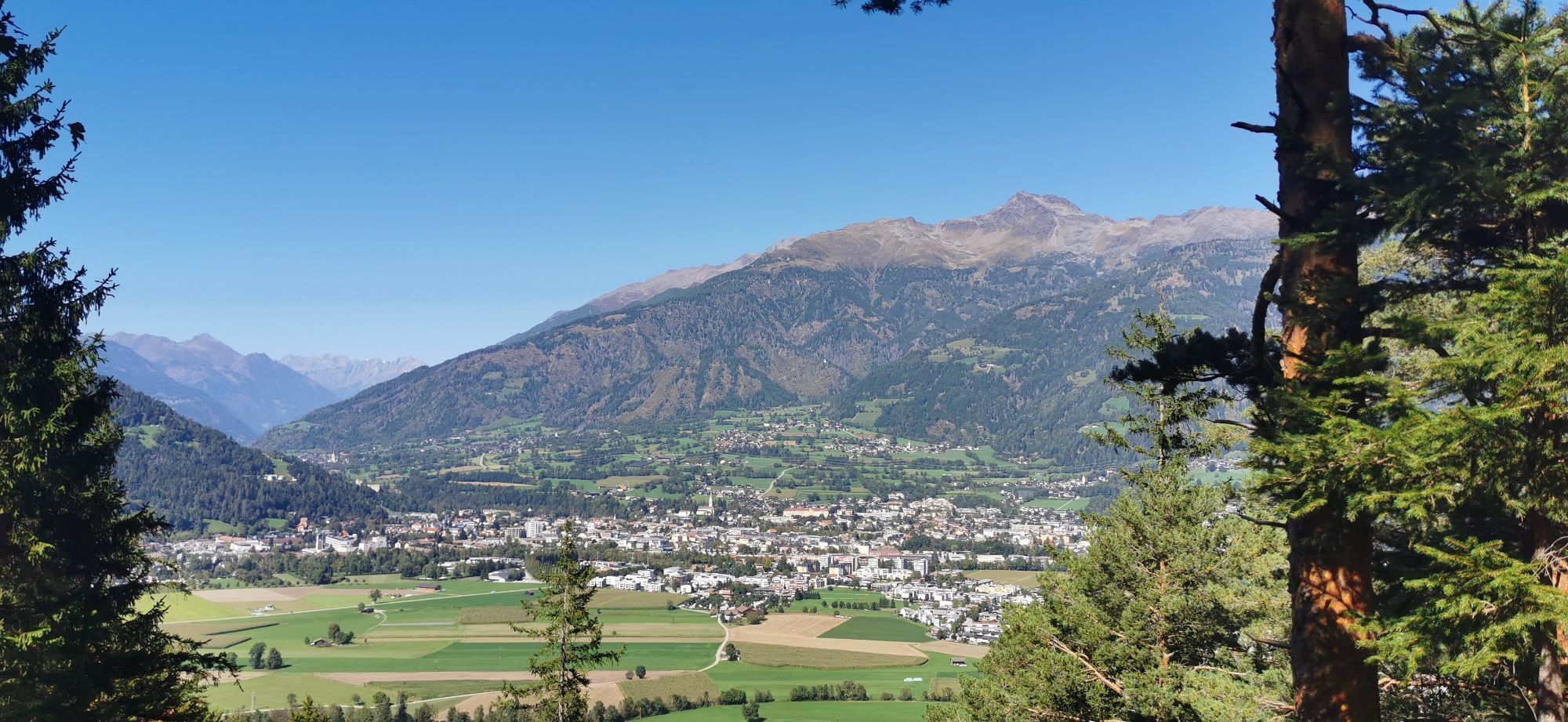

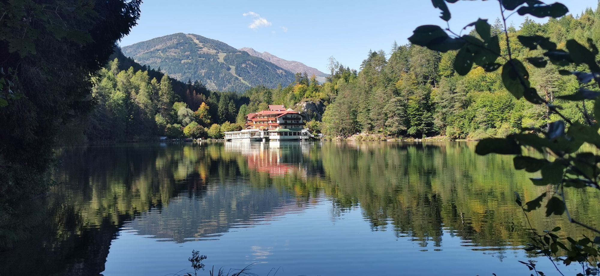
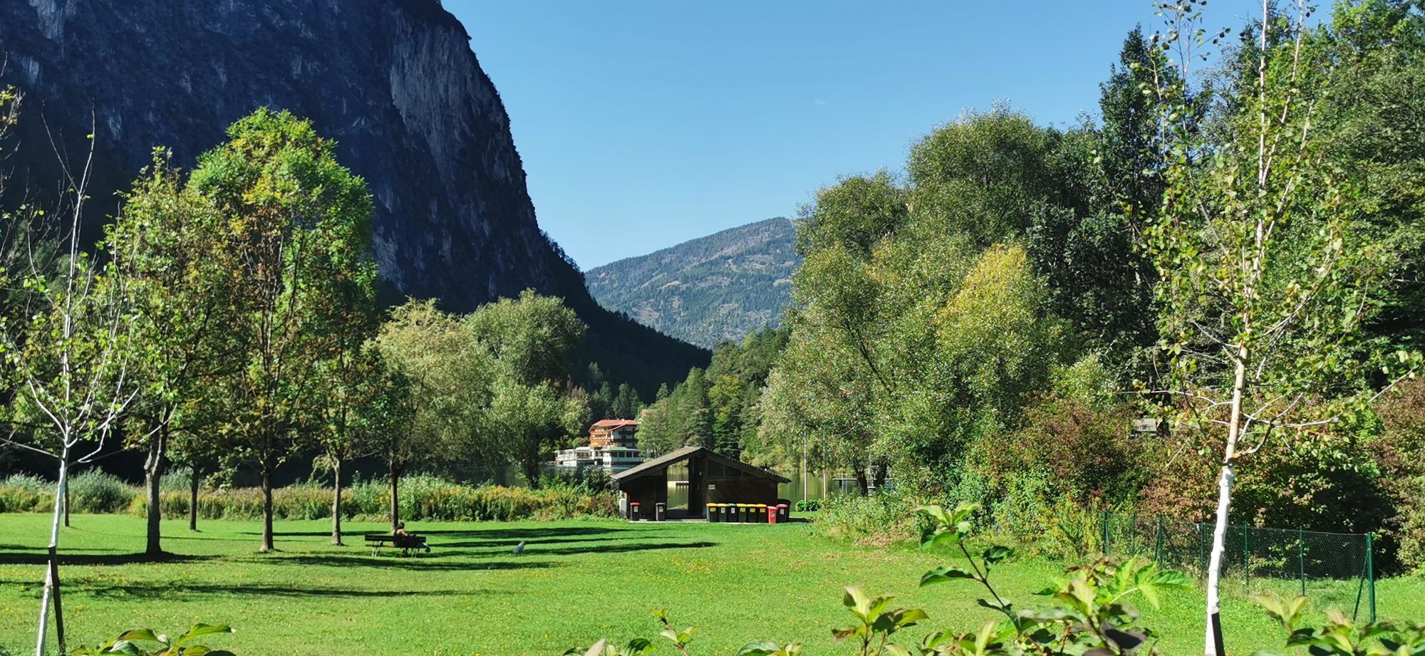
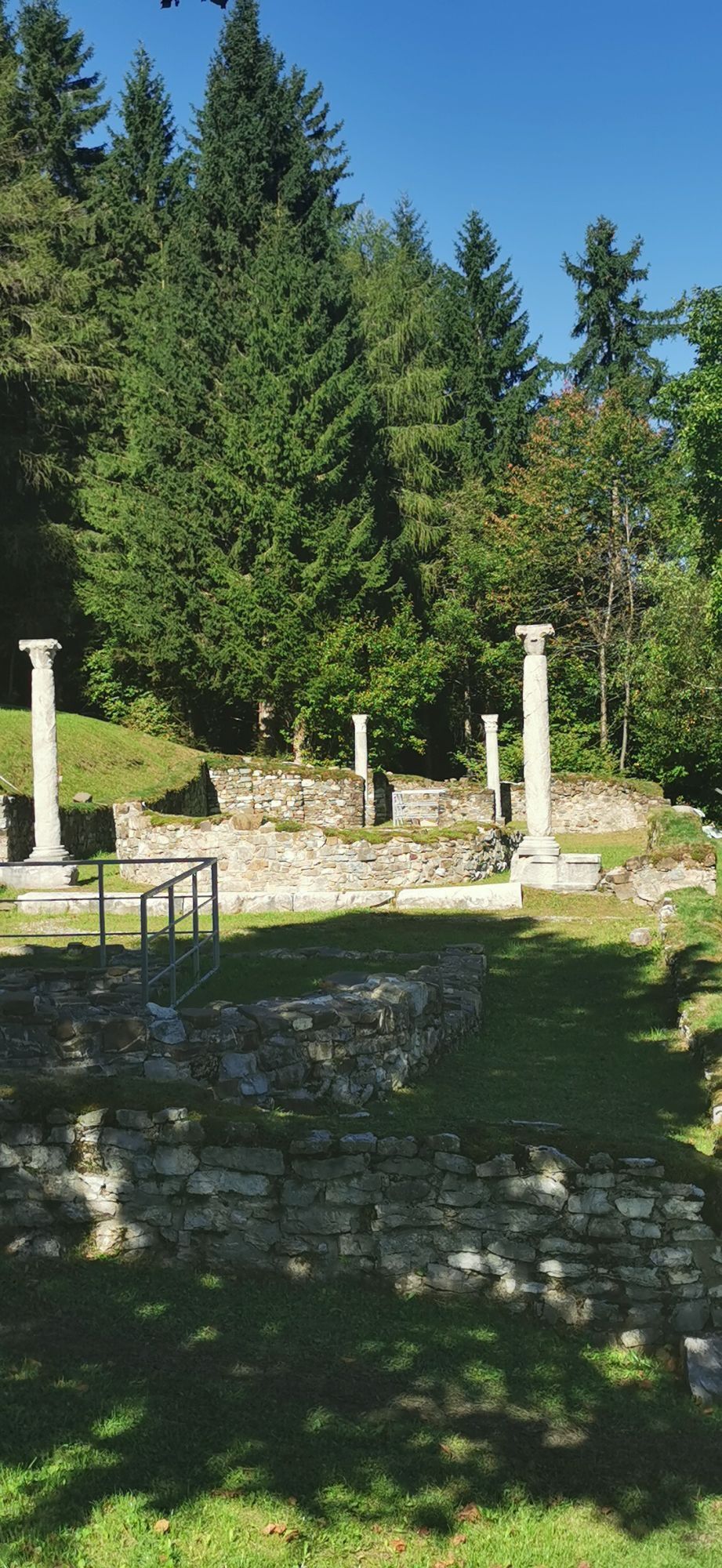
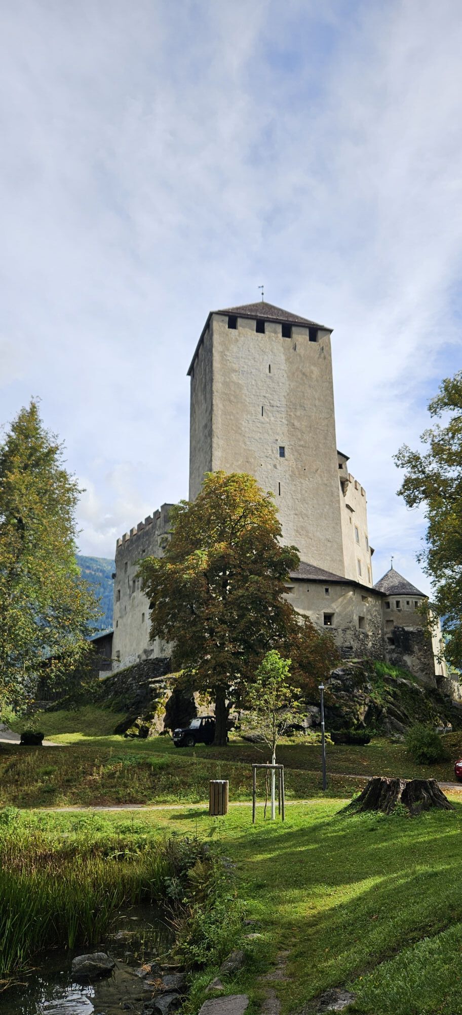
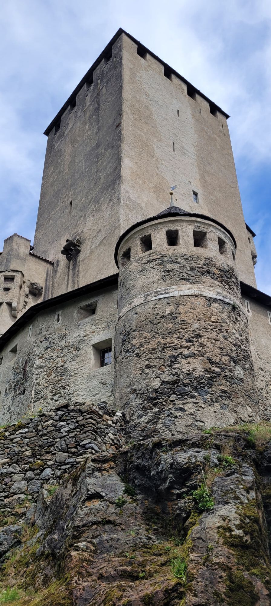
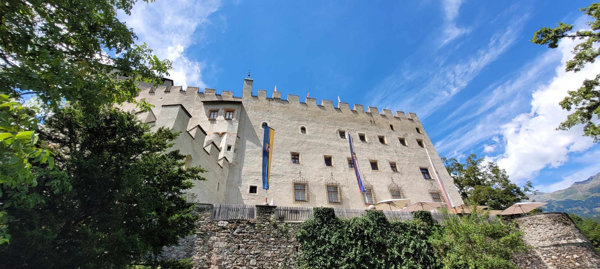

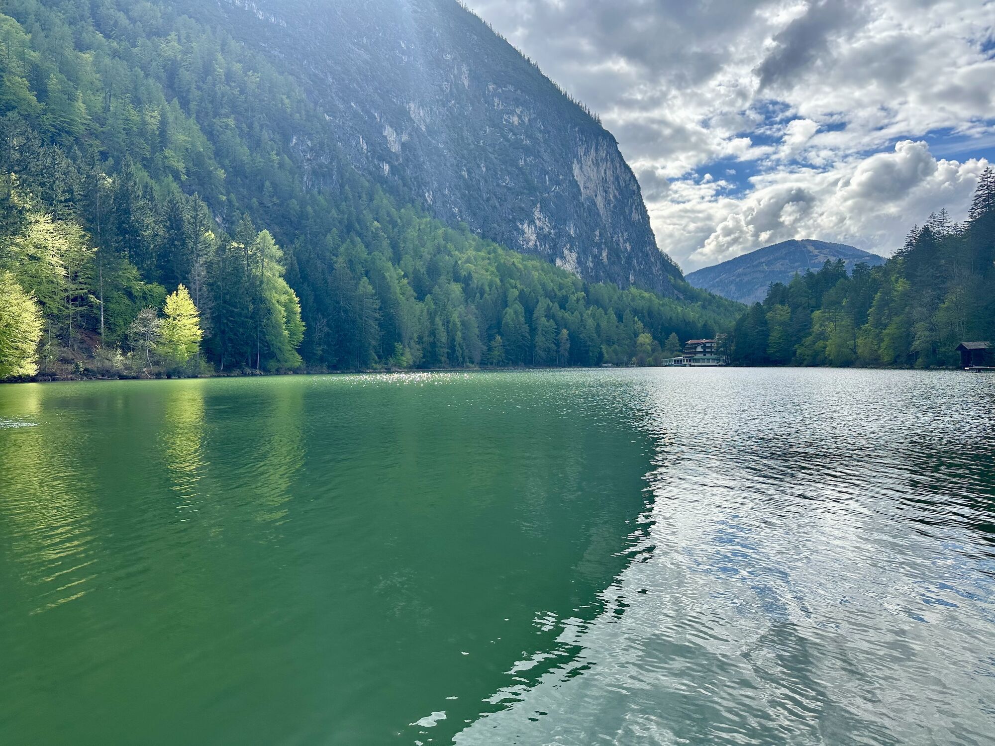
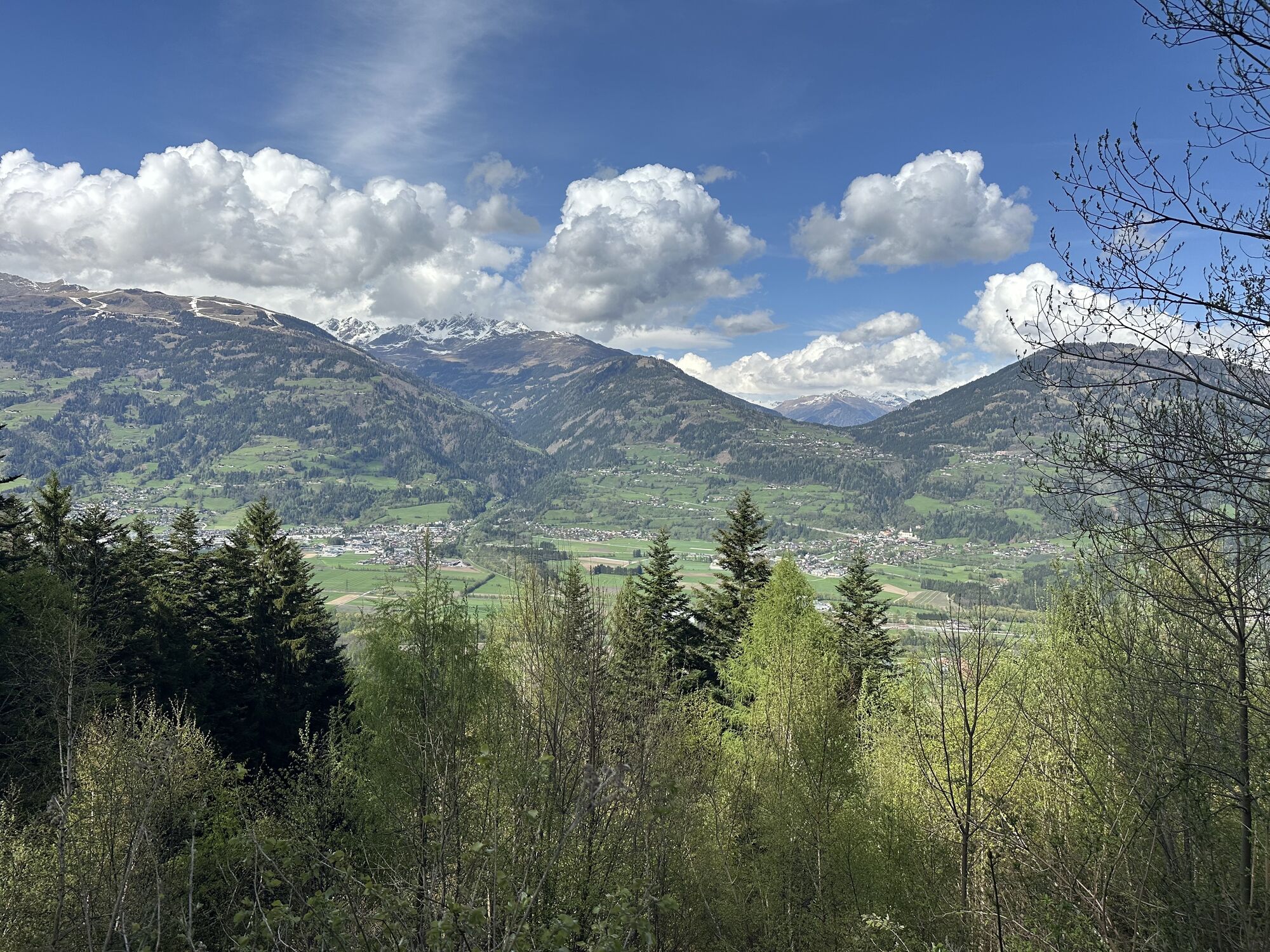
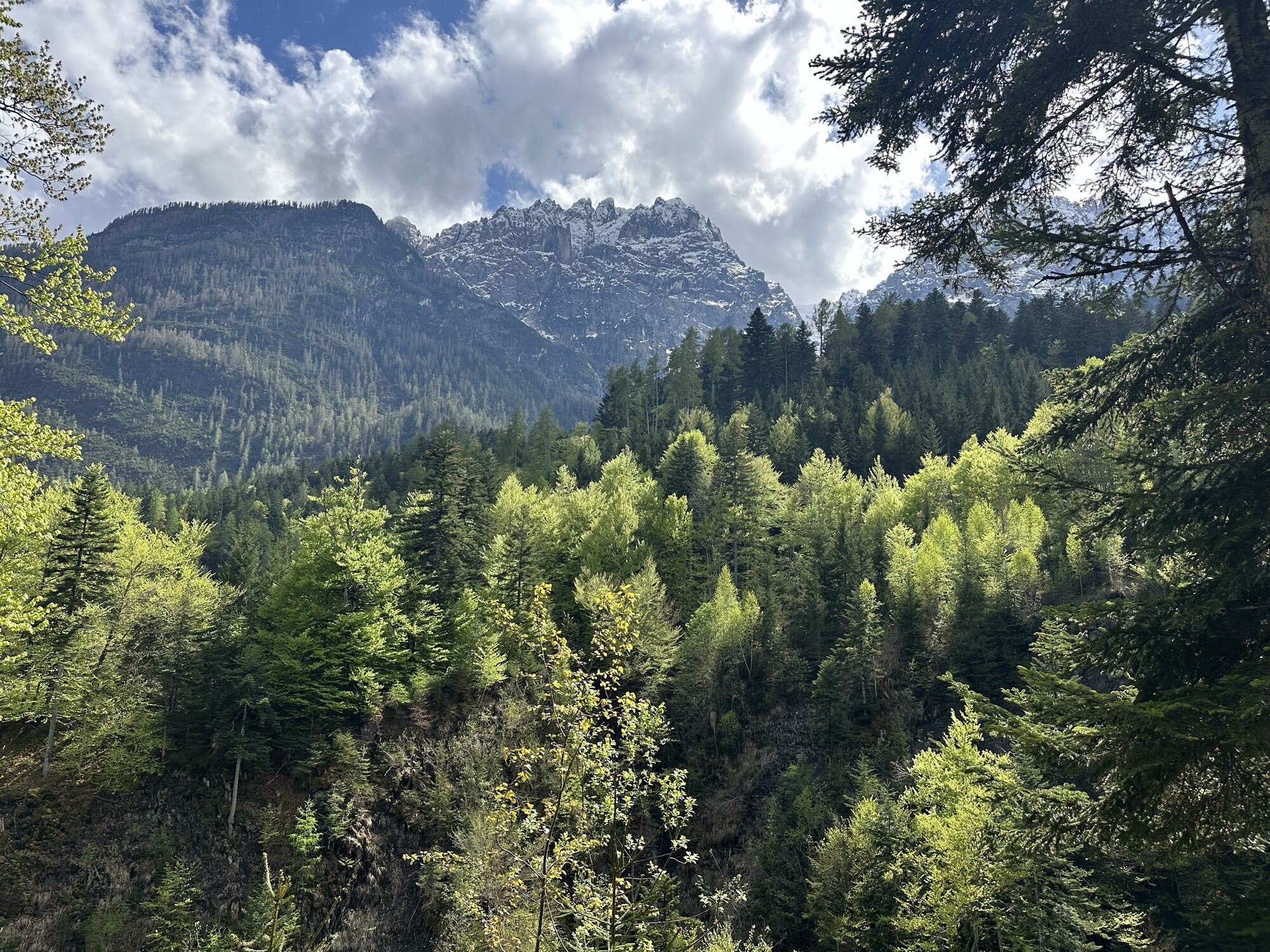
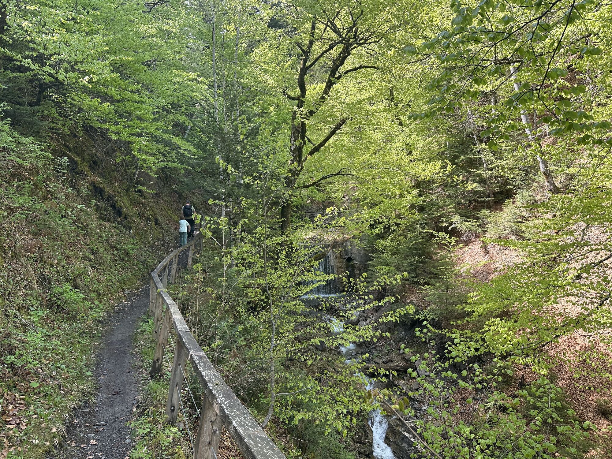
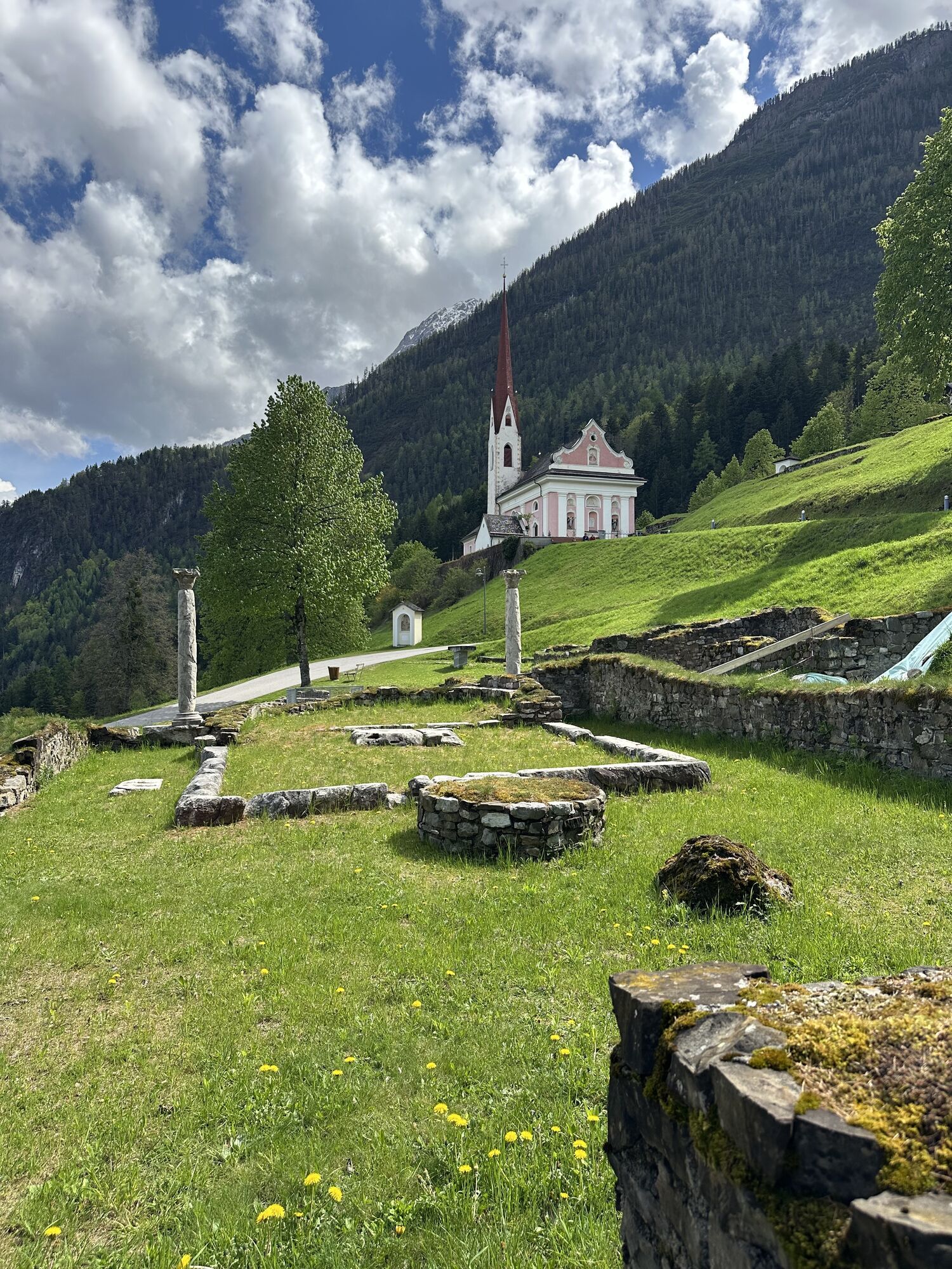
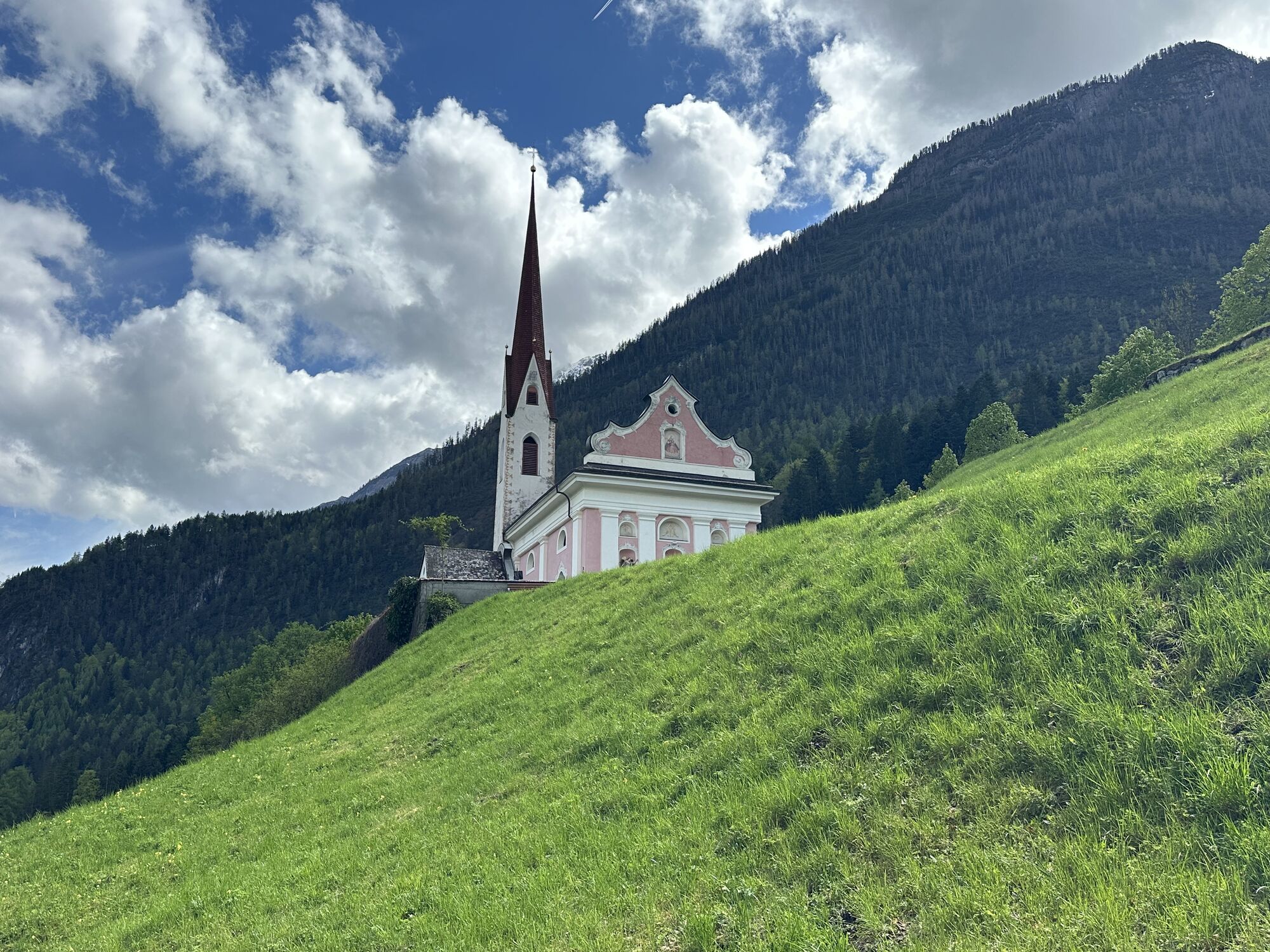
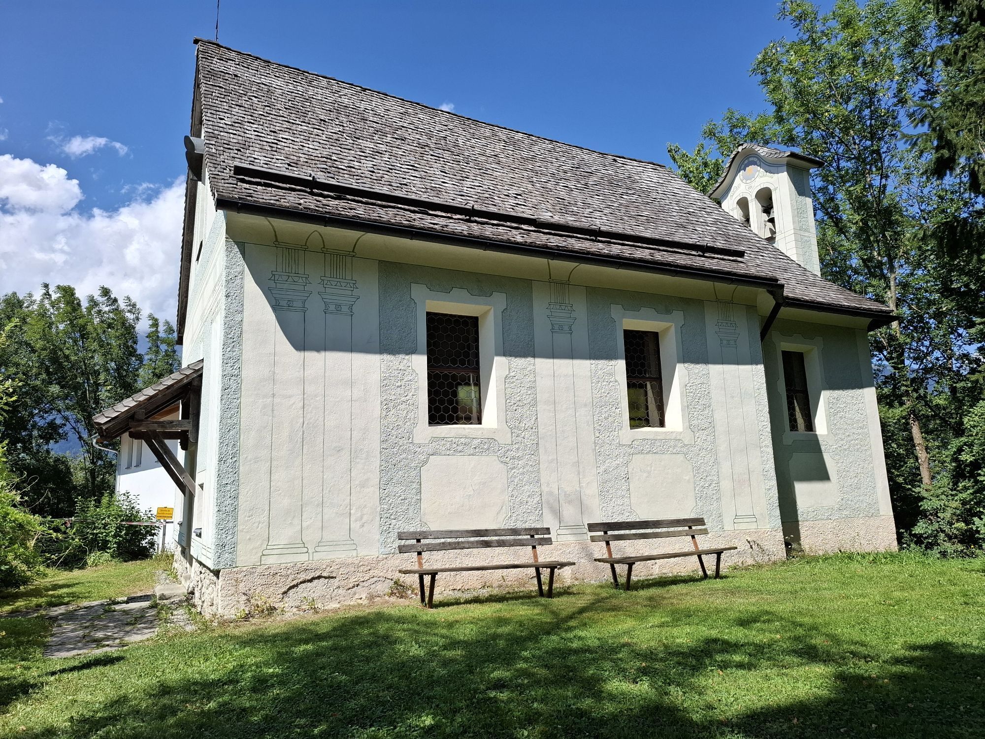

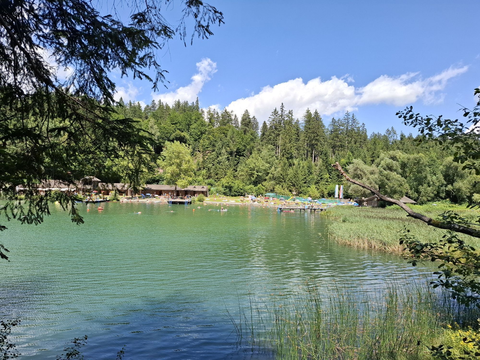
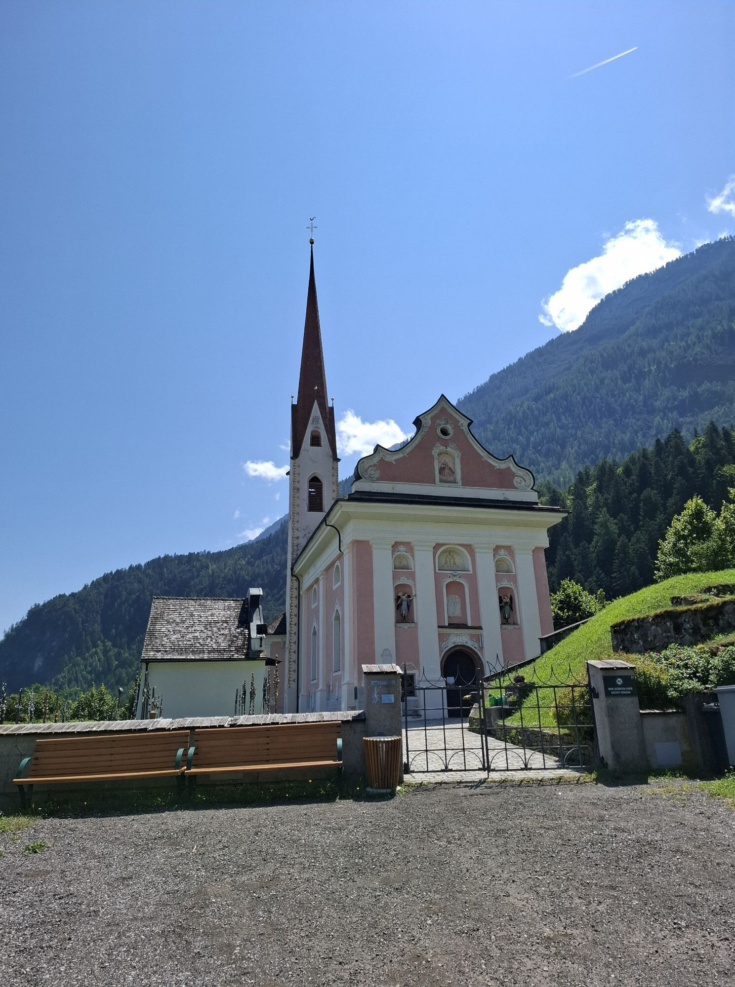
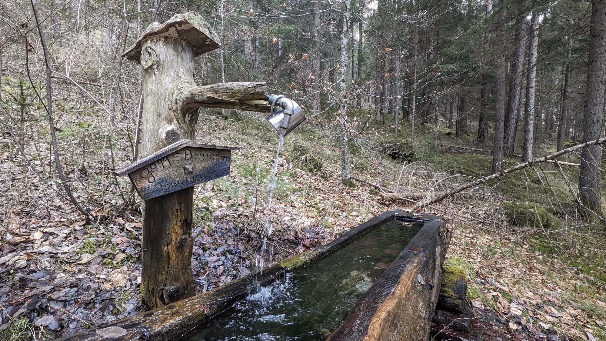
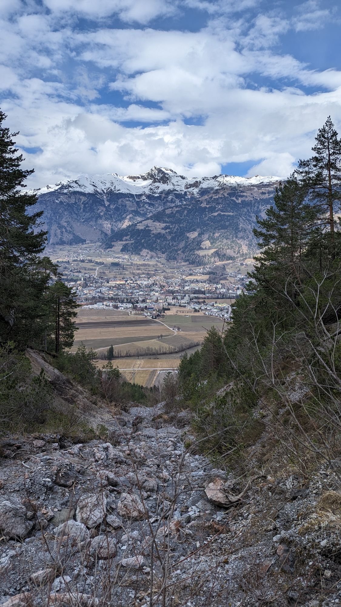
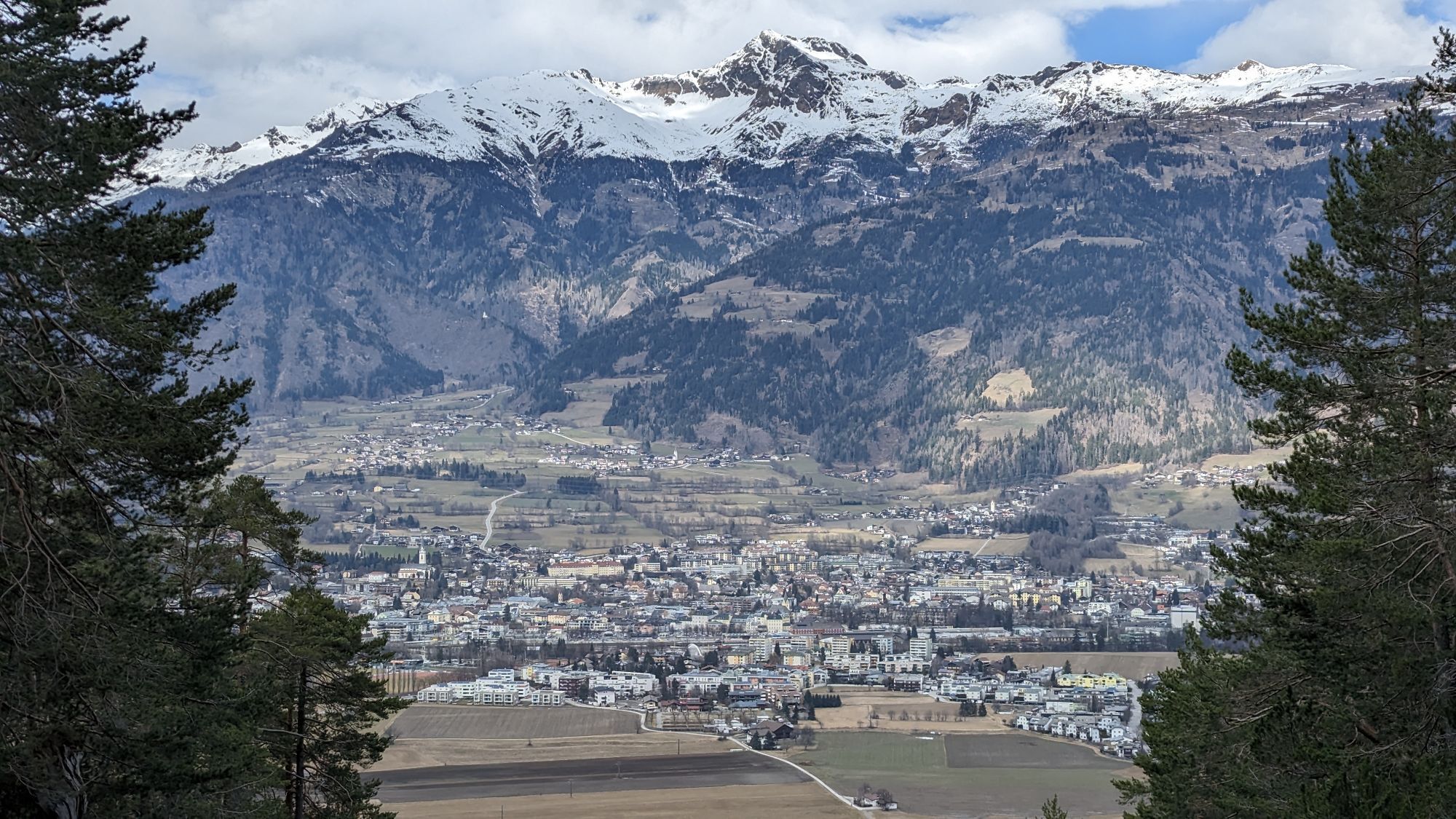
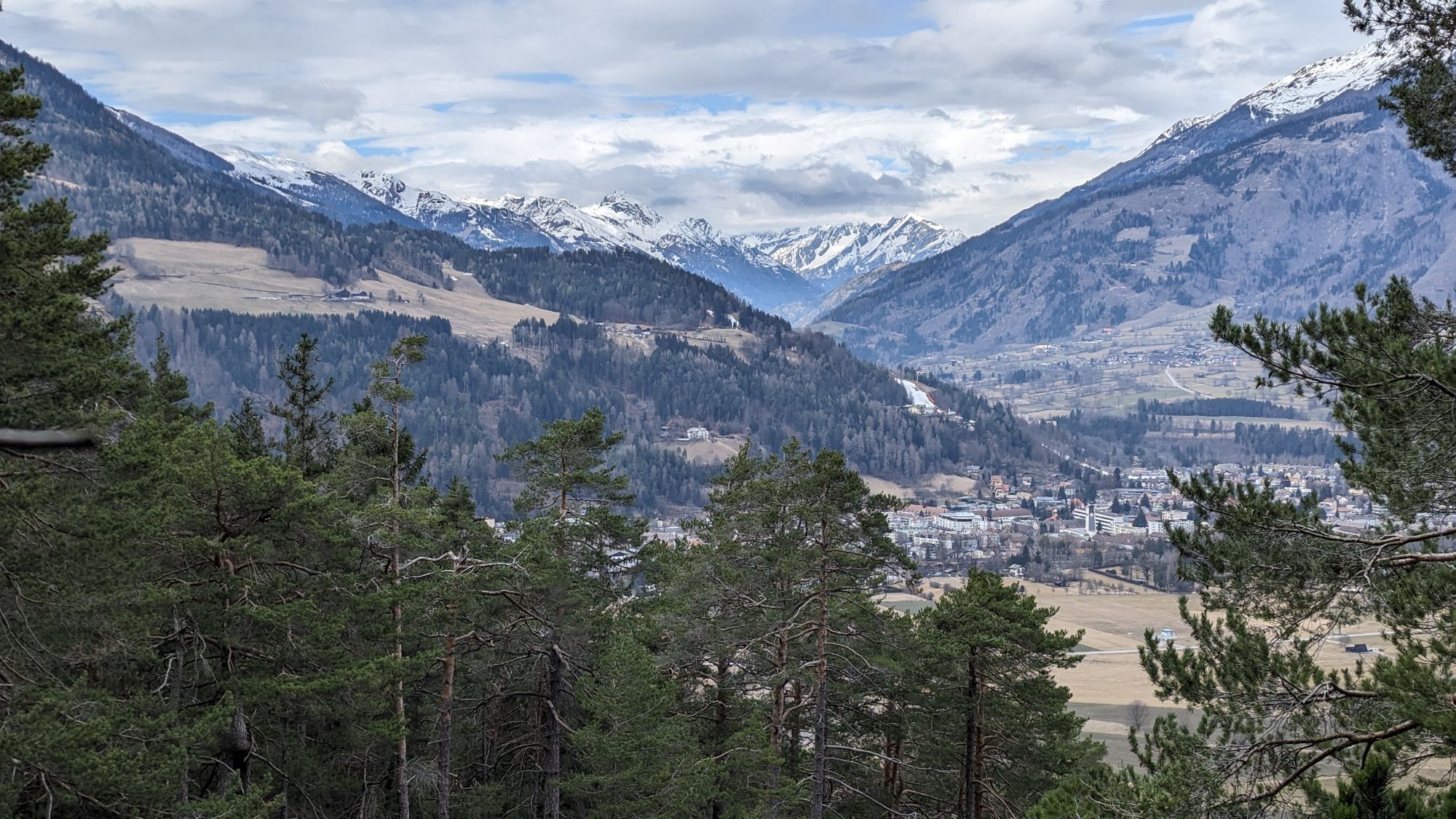

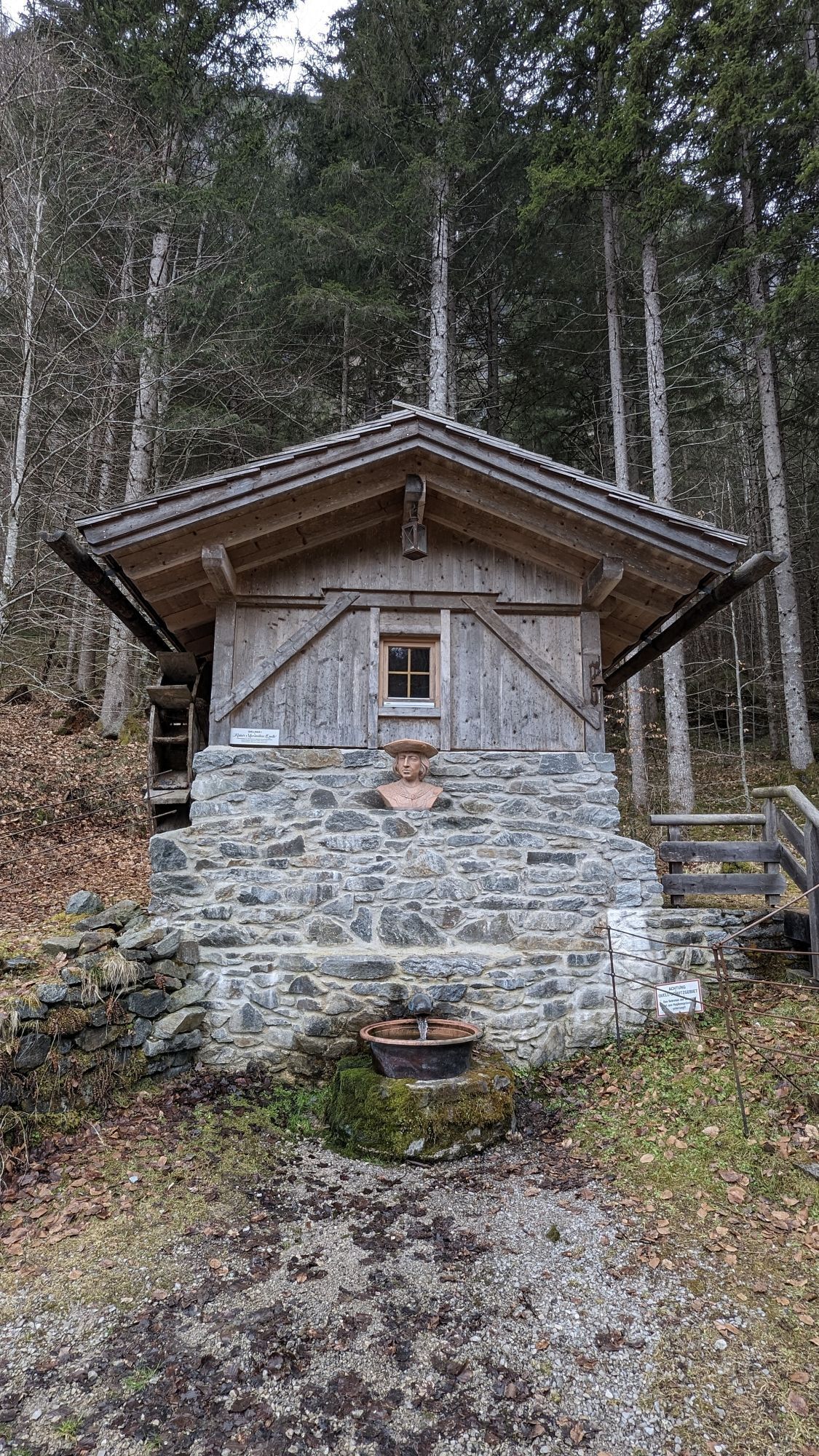
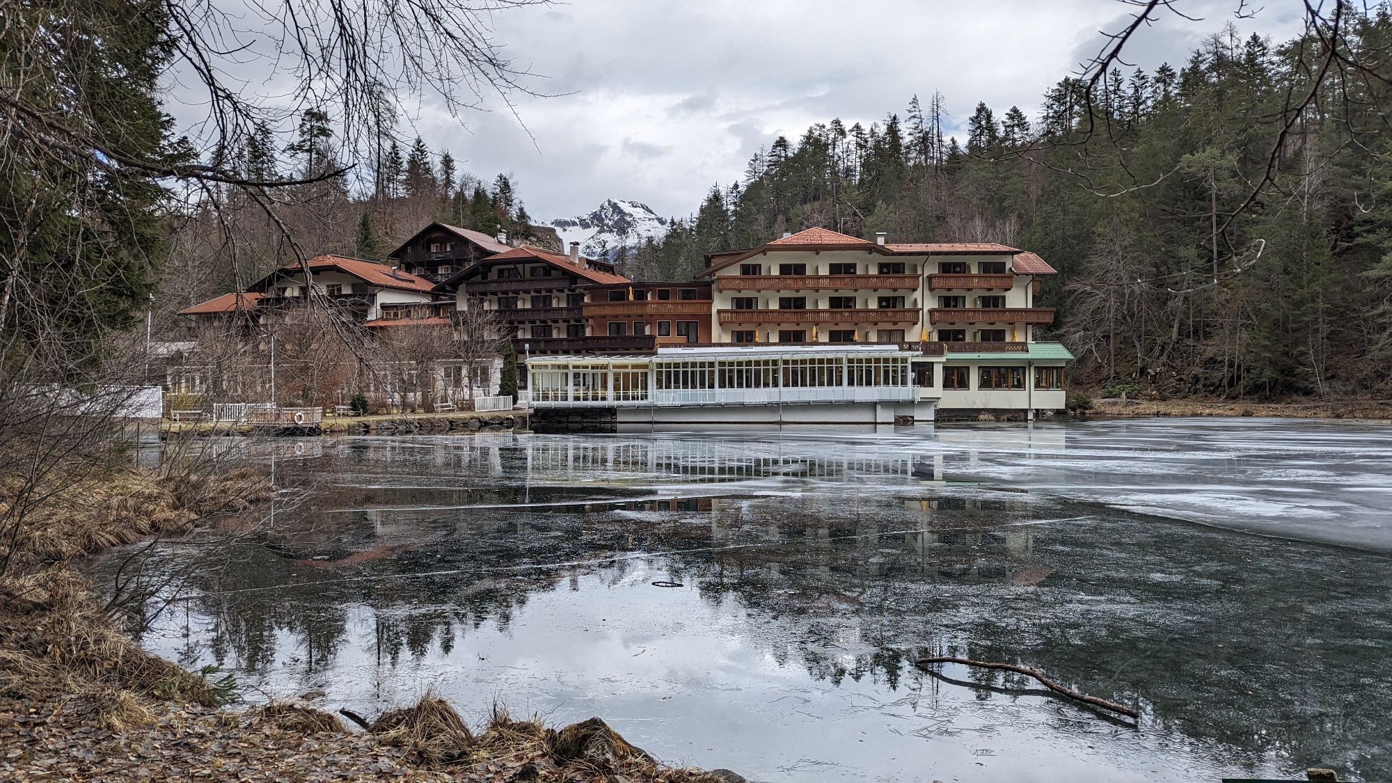
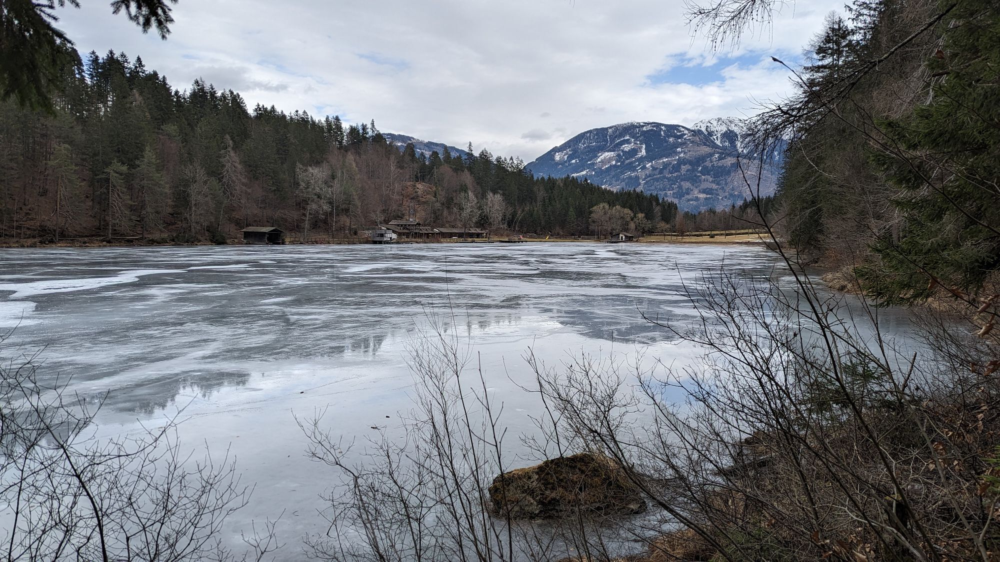
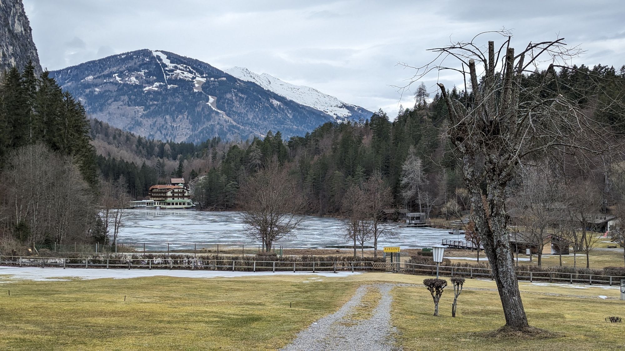
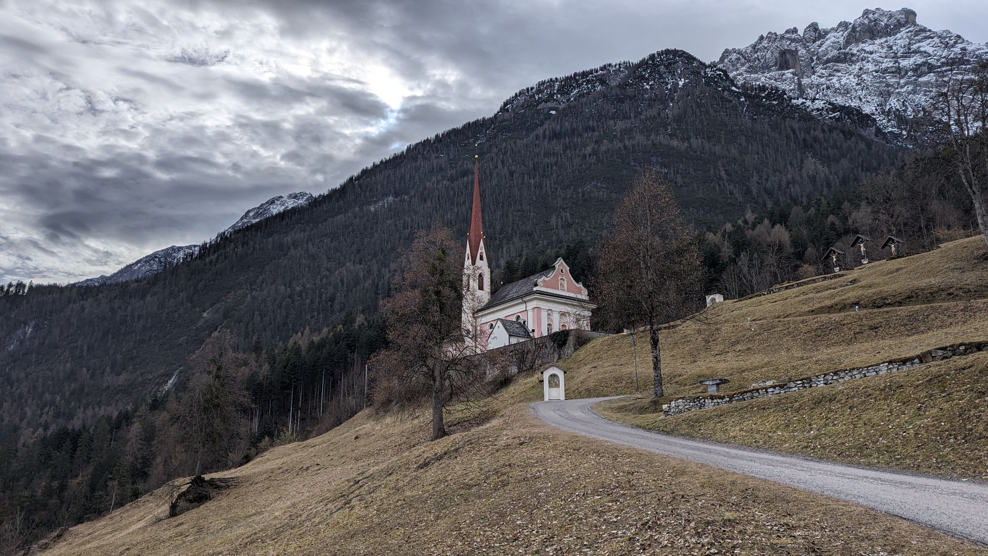
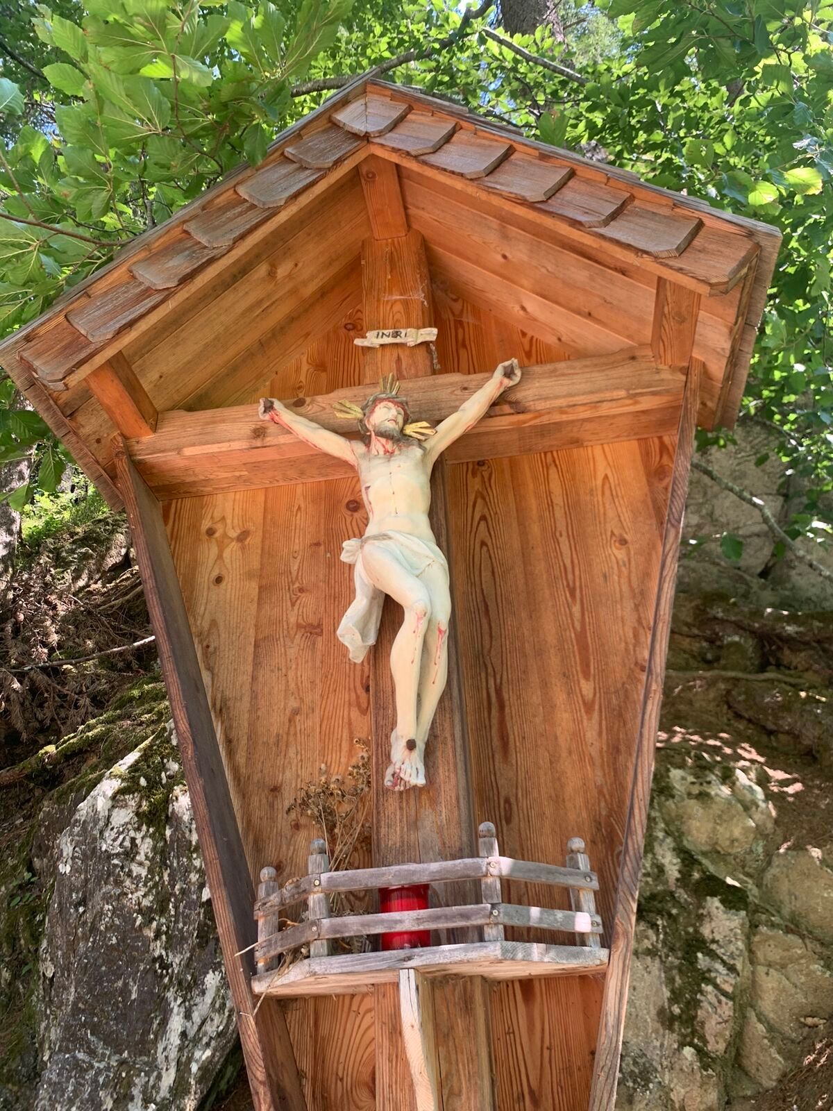
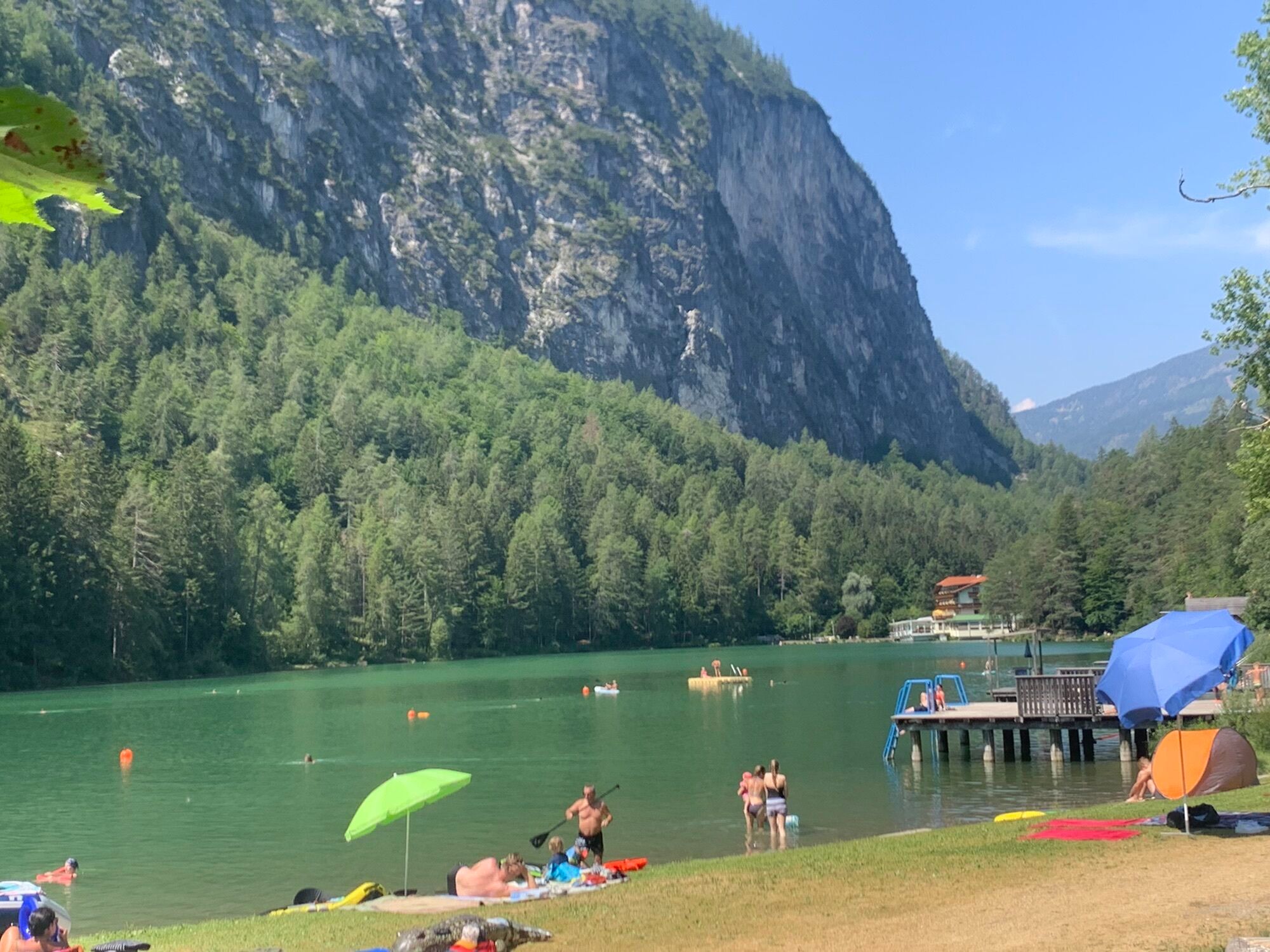
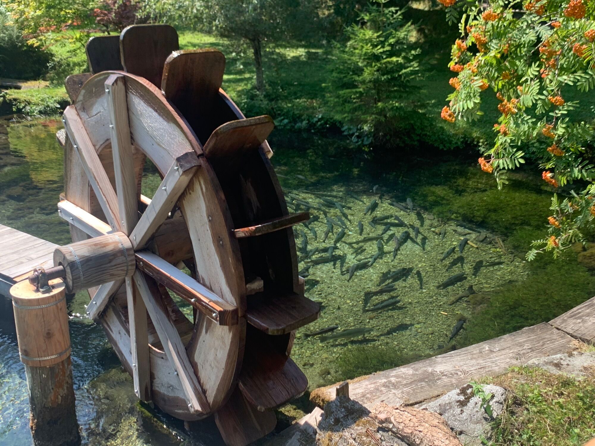
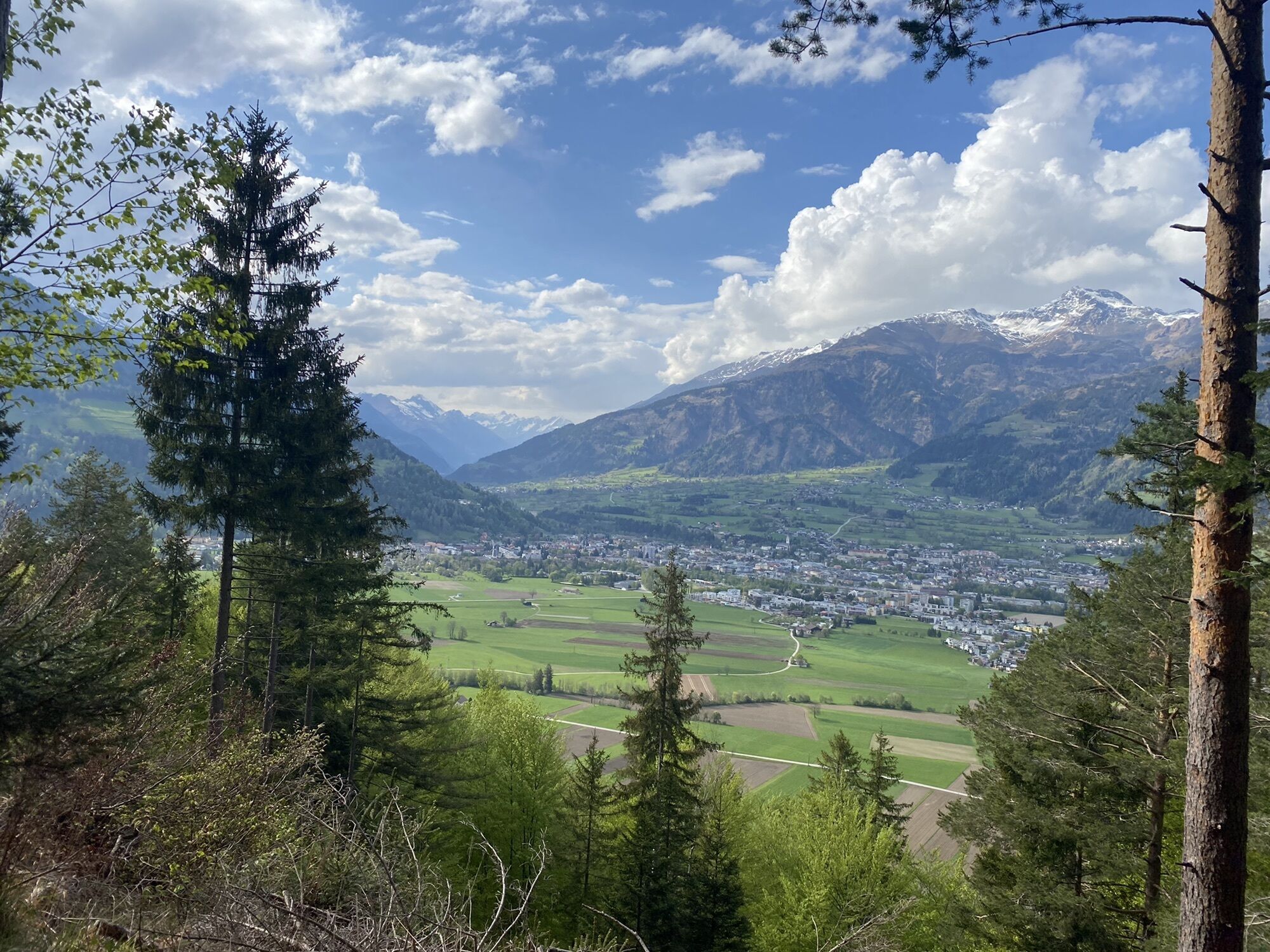
The nature trail from Castle Bruck to Leisach offers insights into the biodiversity of the local forest. Furthermore, you pass the natural monument "Old Lake", then climb up to Kreithof and finish the...
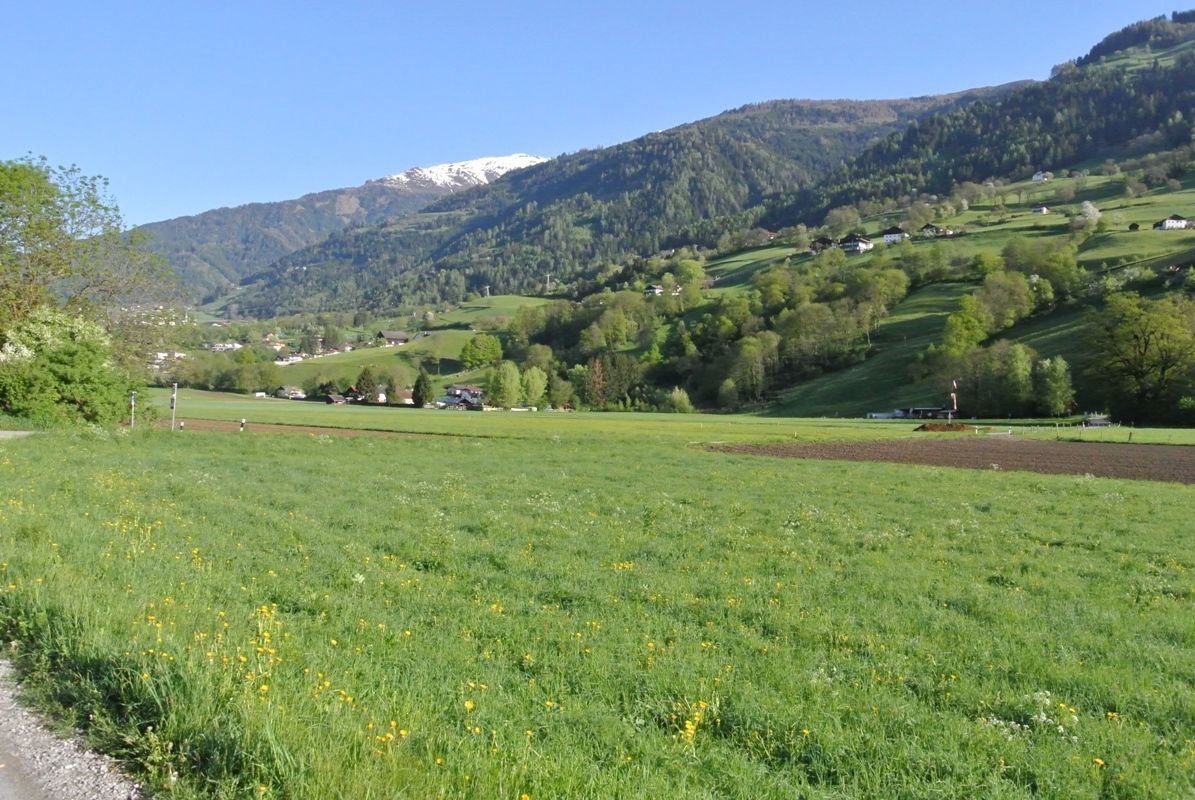
The nature trail from Castle Bruck to Leisach offers insights into the biodiversity of the local forest. Furthermore, you pass the natural monument "Old Lake", then climb up to Kreithof and finish the first stage on historical sites at Lavanter Kirchbichl.


Basic equipment for mountain hiking includes sturdyâ¯hikingâ¯boots with a good tread, a 30-35 liter backpack, and functional clothing based on the layering principle, including sufficient spare clothes. Essential items are rain, cold, and sun protection, adequate fluids and food, as well as a first-aid kit and a charged mobile phone. A map or a GPS device supports orientation.
The information serves as a guideline and does not claim to be exhaustive. Equipment must always be adapted to theâ¯planned route, weather conditions, season, natural hazards, environmental influences, and personal needs.
Parkplatz Schloss Bruck oder Schlossbergbahn
Webové kamery z prohlídky

Oblíbené prohlídky v okolí
-
4.9
Wangennitzsee Hütte
středníTuristika 3.80 km -
4.7
Karlsbader Hütte über Rudl-Eller-Weg
heavyTuristika 5.10 km -
5.0
Ederplan round from the parking lot Stronach
středníTuristika 7.19 km -
4.8
Pirknerklamm (C)
středníVia ferrata 2 km -
4.8
Lienzer Dolomiten-Lasertörl
středníTuristika 13.2 km -
4.7
Karlsbader Hütte
středníMountainbike 13.4 km -
4.8
Lienzer Hütte
světloTuristika 7.39 km -
4.8
Klammbrückl - Kerschbaumeralm - Spitzkofel
heavyTuristika 8.71 km -
4.0
Karlsbader Hütte - Lienzer Dolomiten
Turistika 8 km -
4.6
Bread & Morende Trail
středníTuristika 11.3 km

Pěší turistika a stopování


Nenechte si ujít nabídky a inspiraci pro vaši příští dovolenou
Vaše e-mailová adresa byl přidán do poštovního seznamu.





