Venediger Altitude Trail Stage 6
střední
Pořiďte si tuto prohlídku do mobilního telefonu
Venediger Altitude Trail Stage 6
střední
Turistika
15.99
km
Naskenujte QR kód a spusťte navigaci v aplikaci bergfex.


Pěší turistika a stopování




Venediger Altitude Trail Stage 6
střední
Vzdálenost
15.99
km
Doba trvání
05:45
h
Ascent
290
hm
Hladina moře
1511 -
2760
m
Stažení skladby
Venediger Altitude Trail Stage 6
střední
Turistika
15.99
km
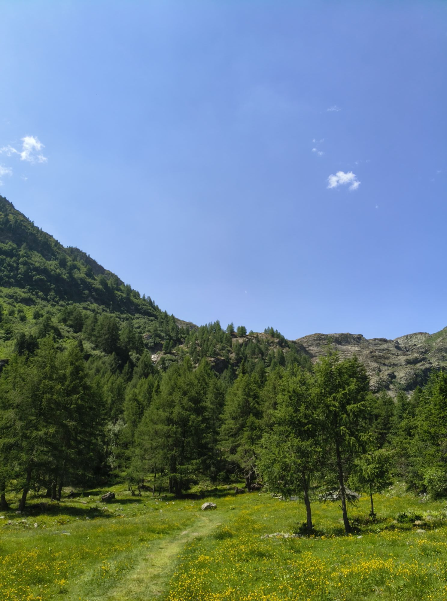
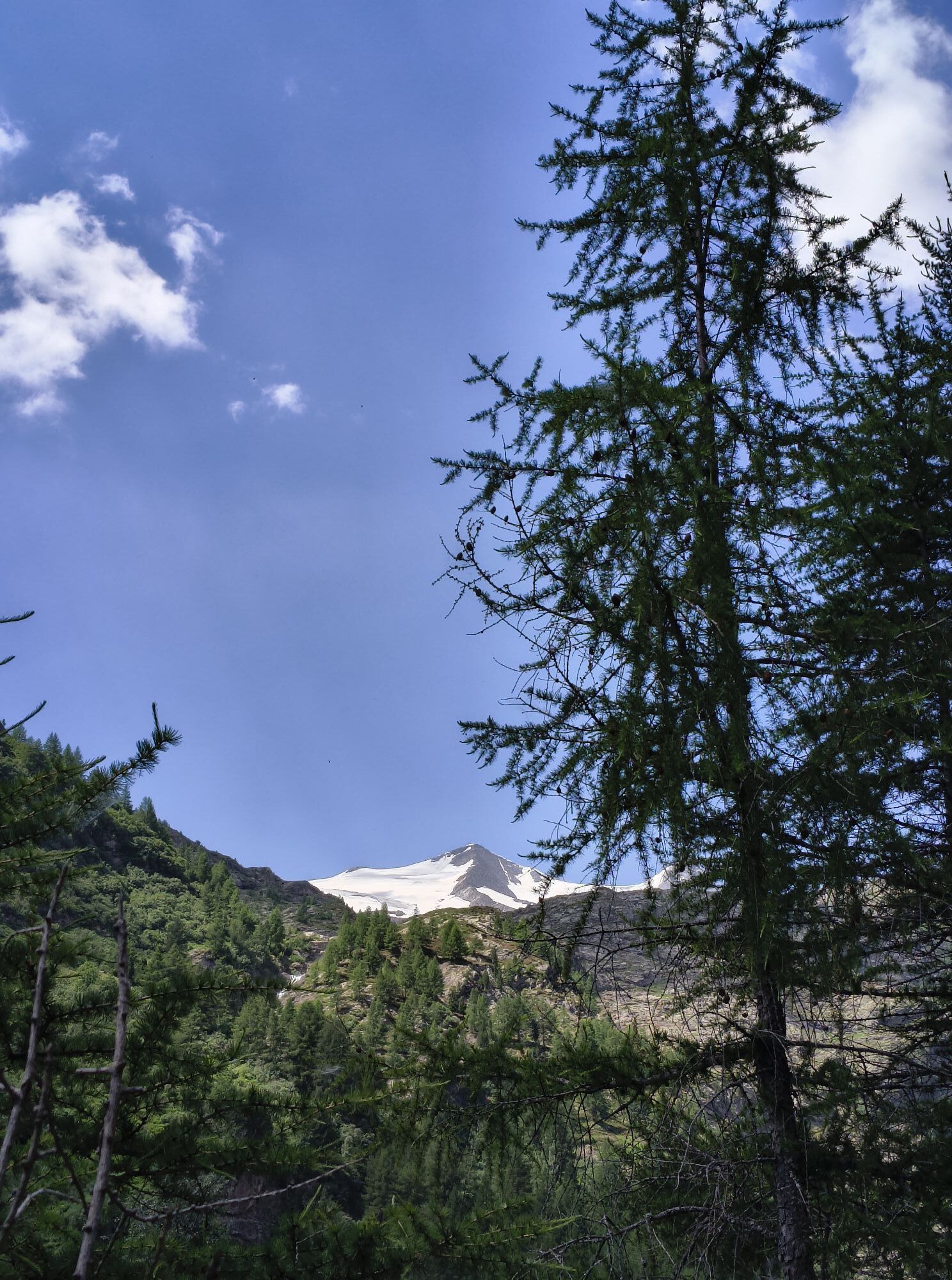
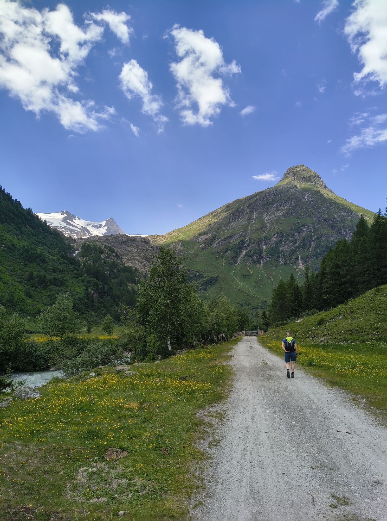
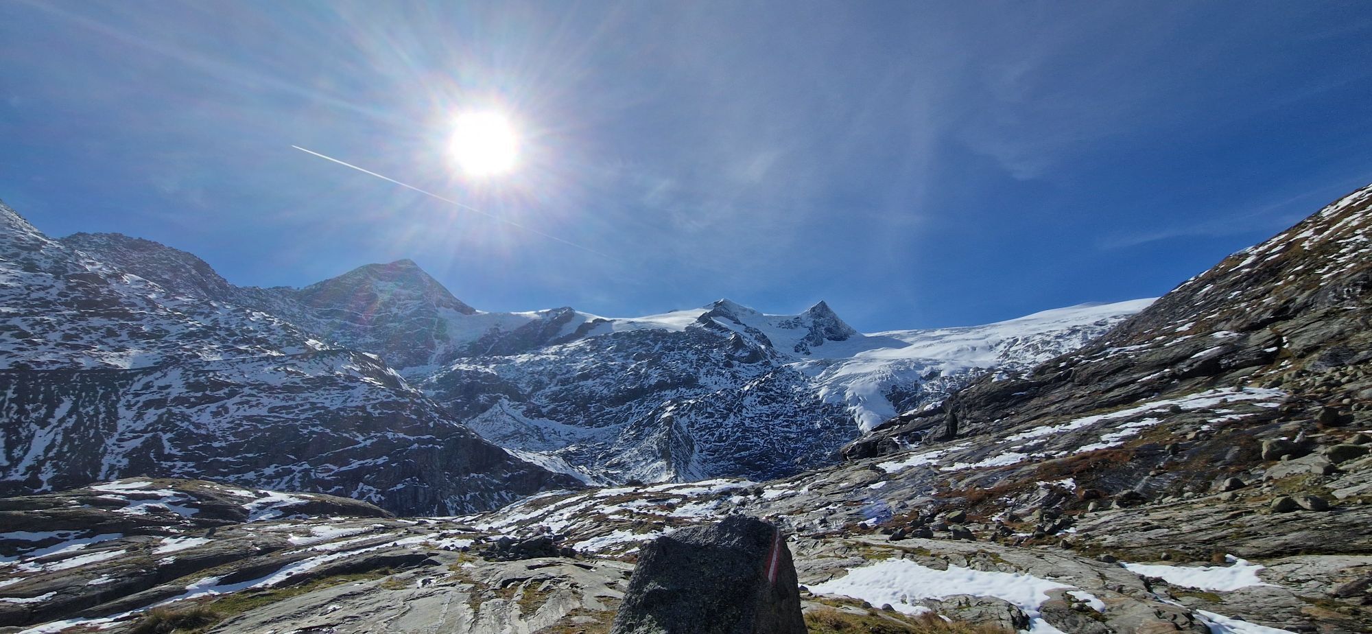
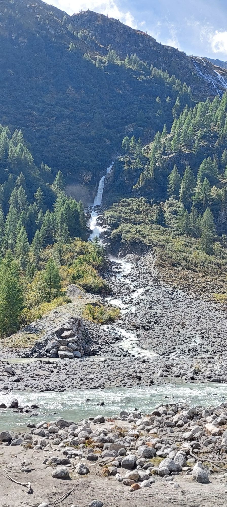
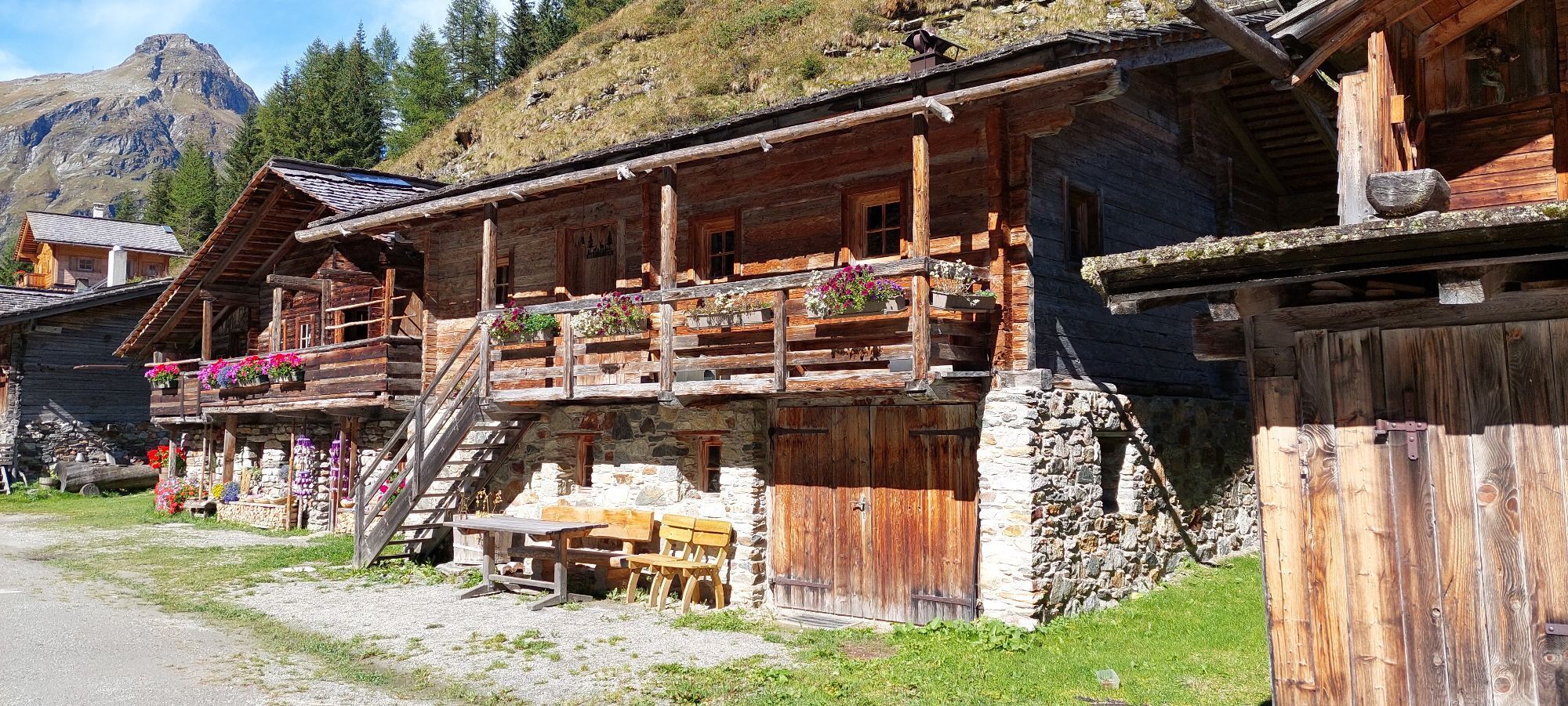
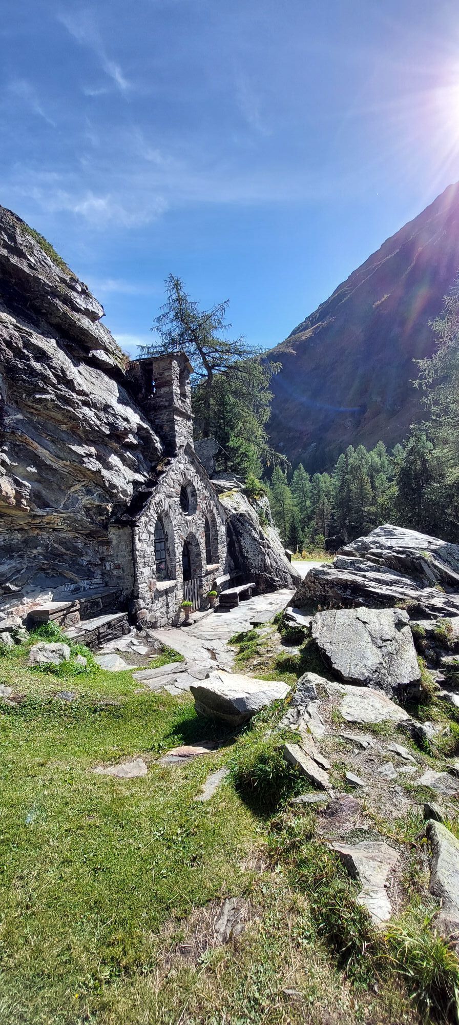
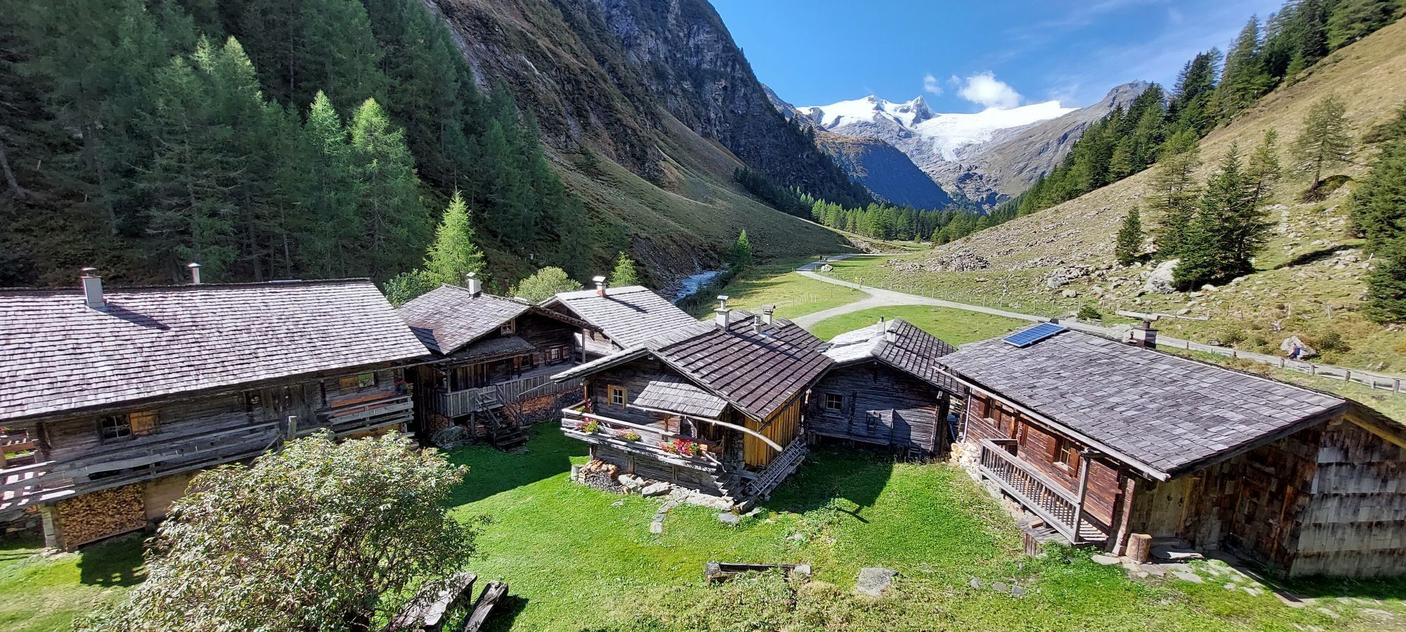
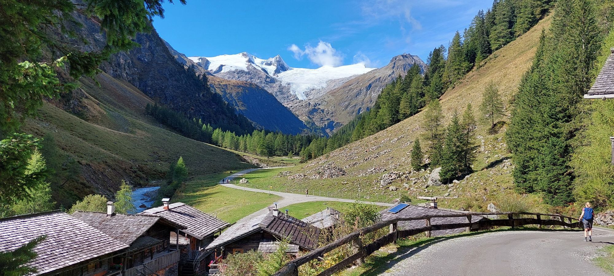
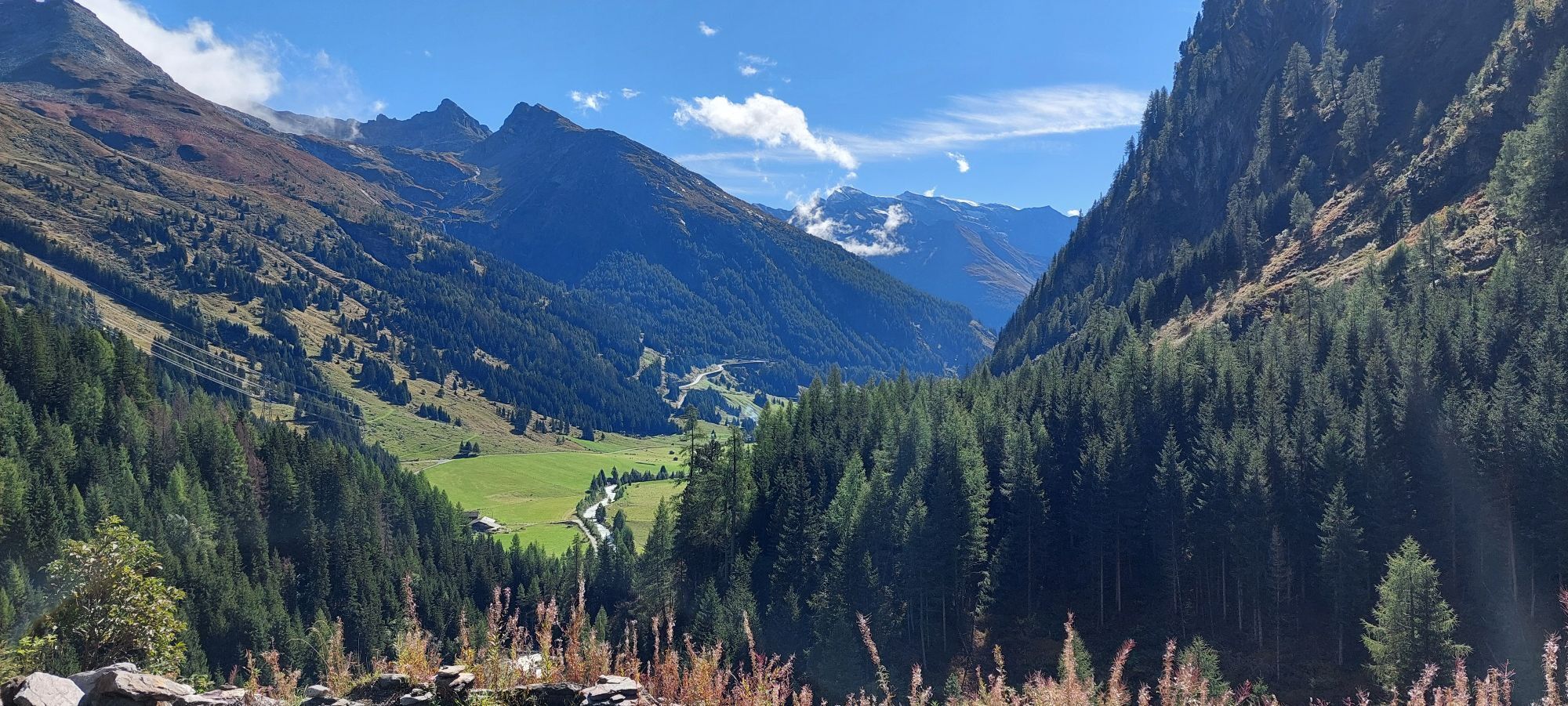
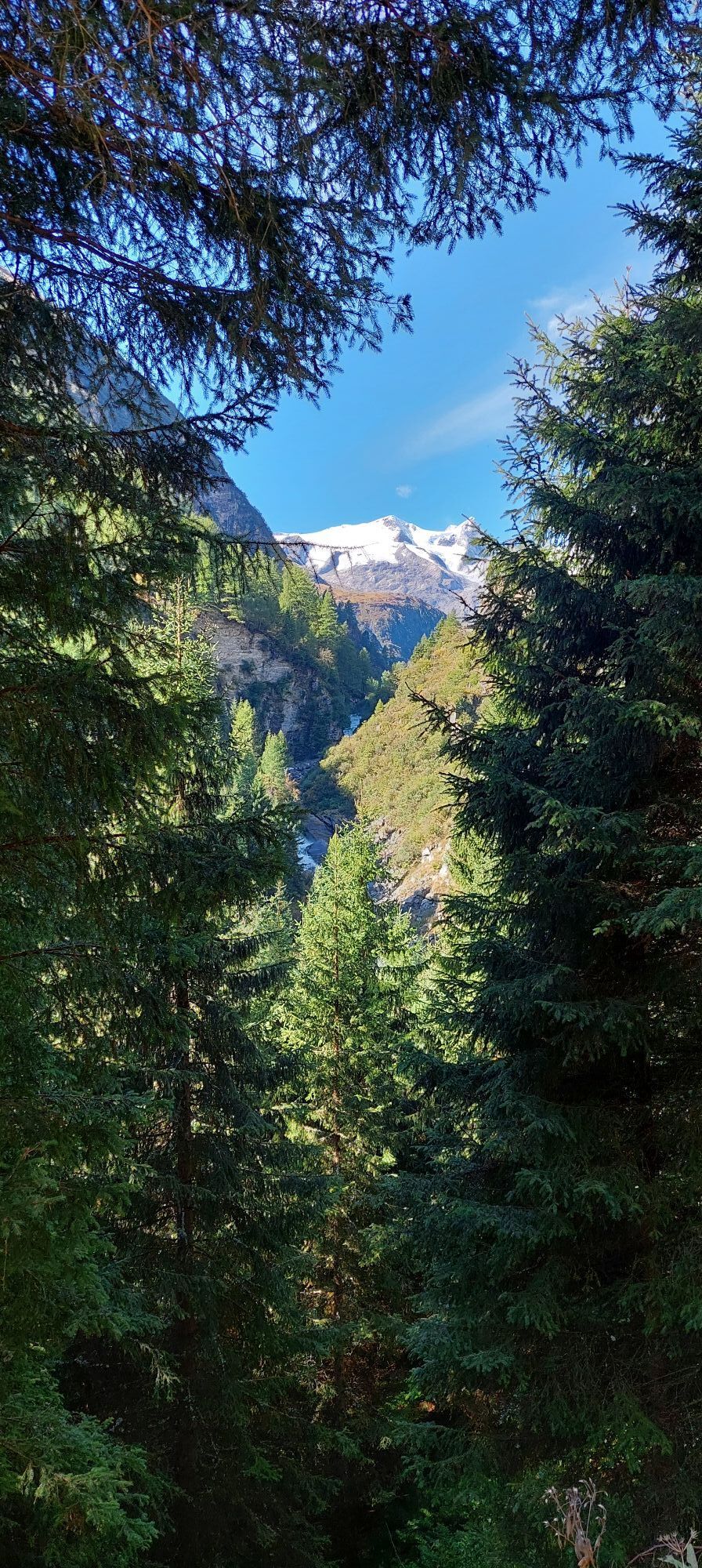
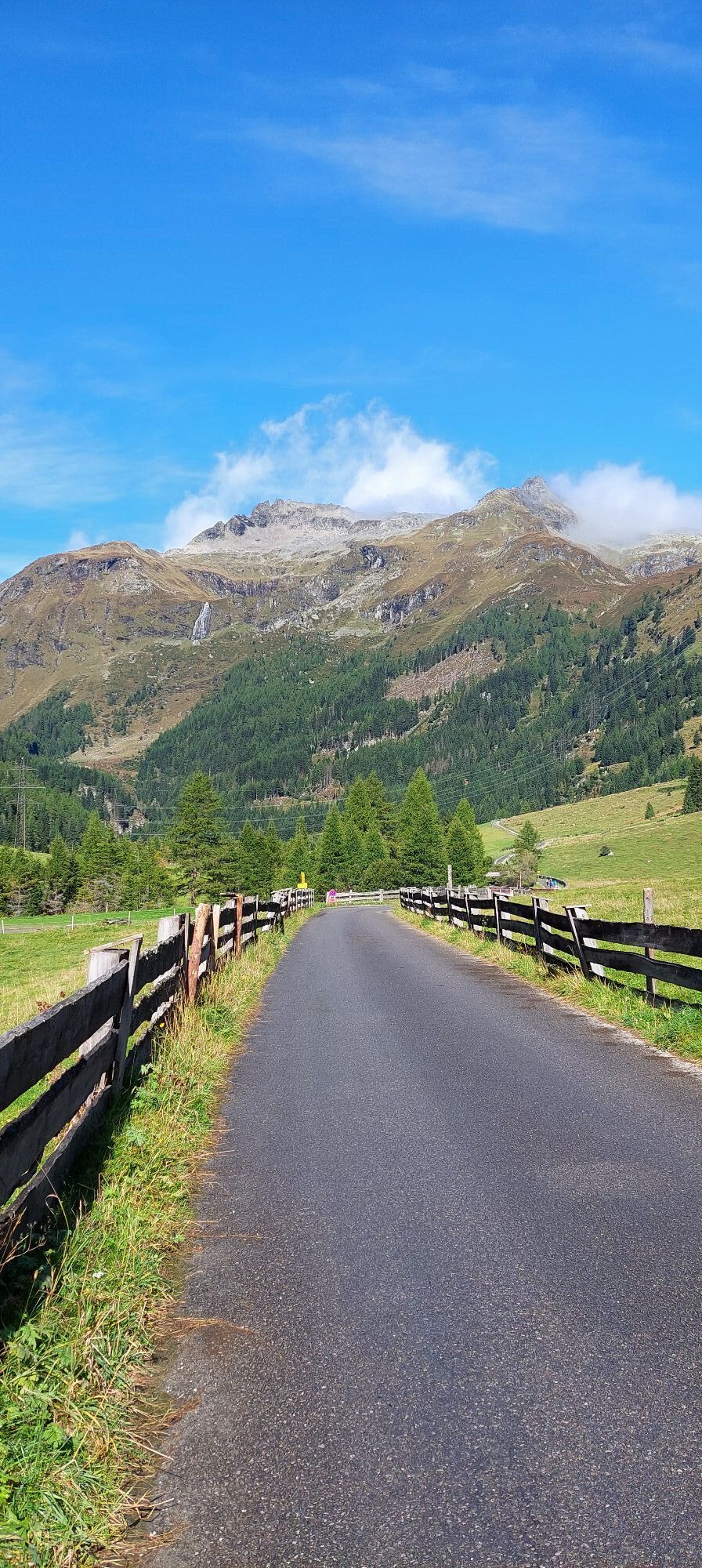
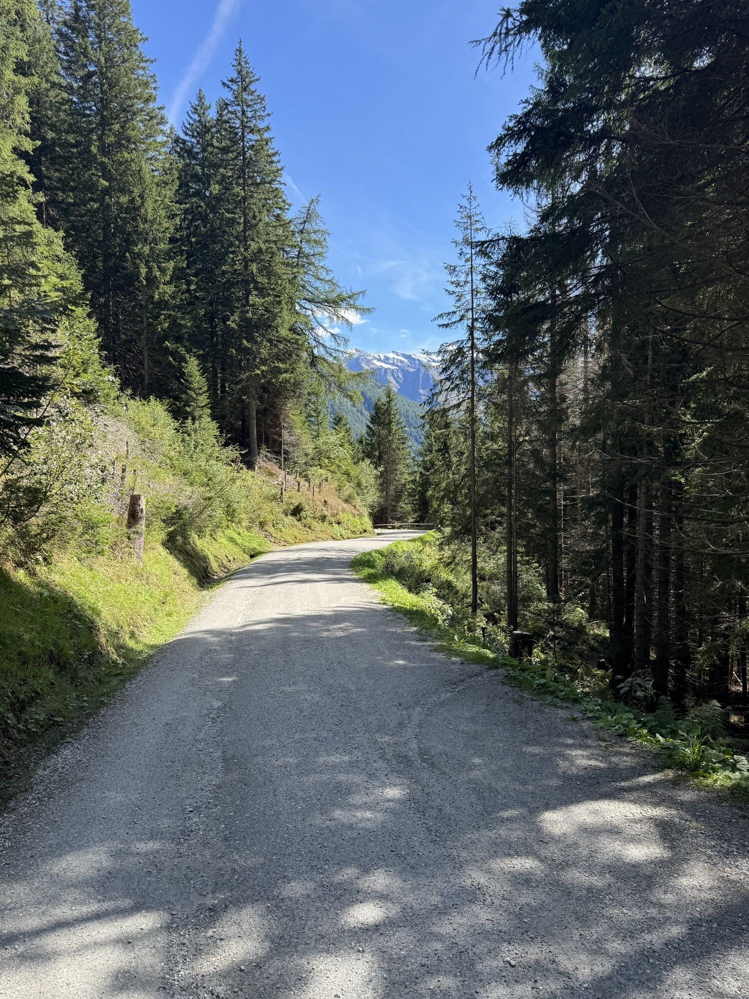

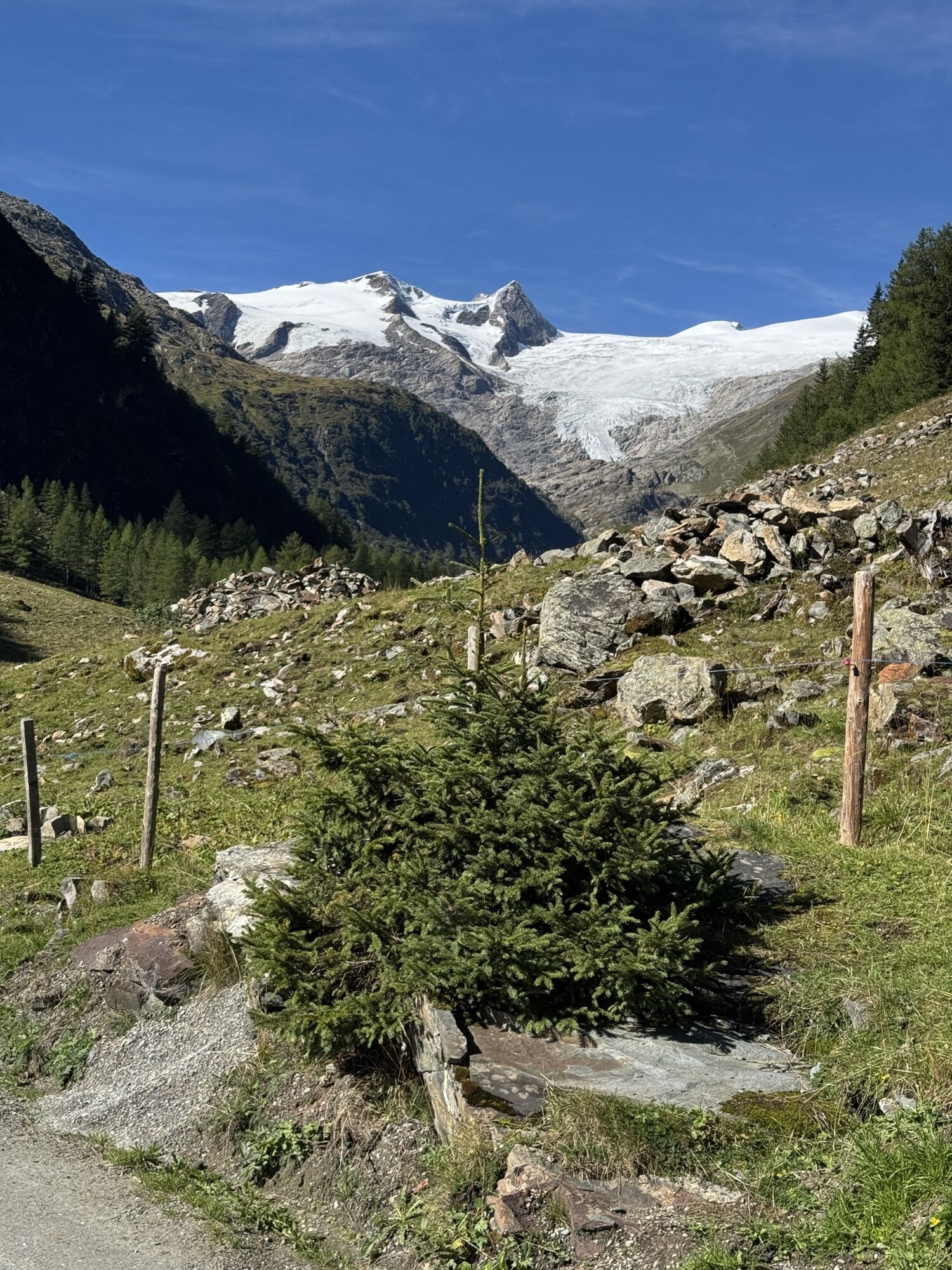
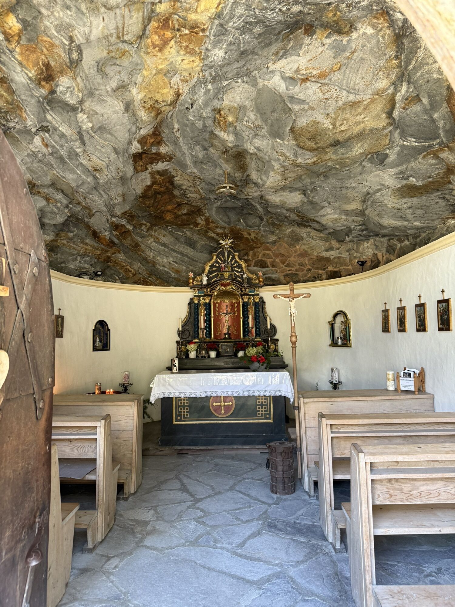
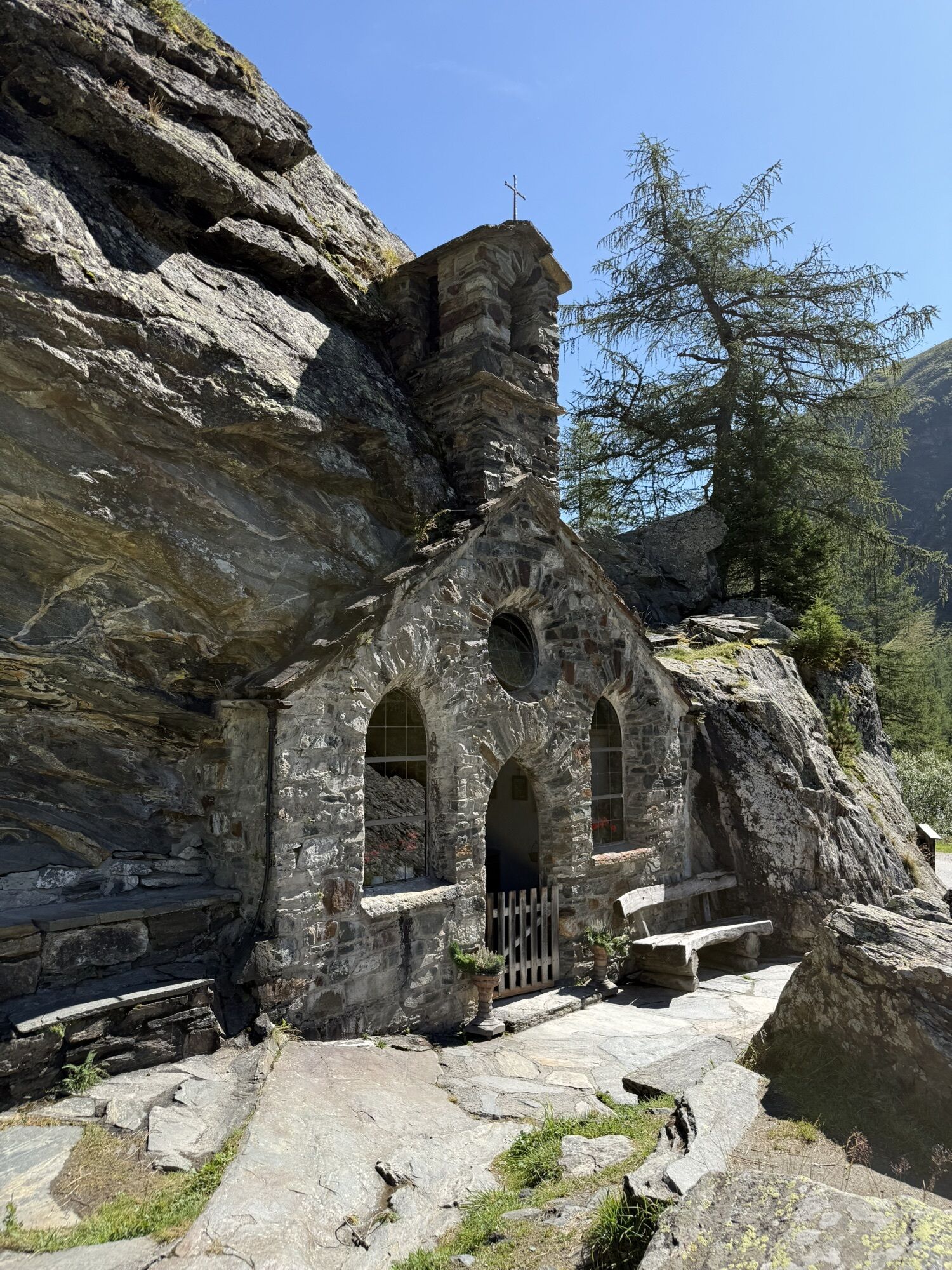
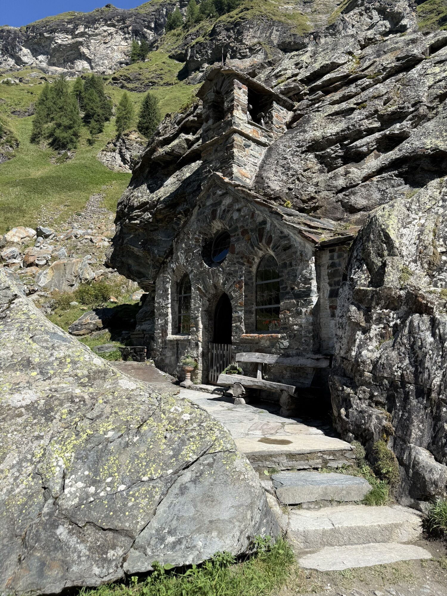
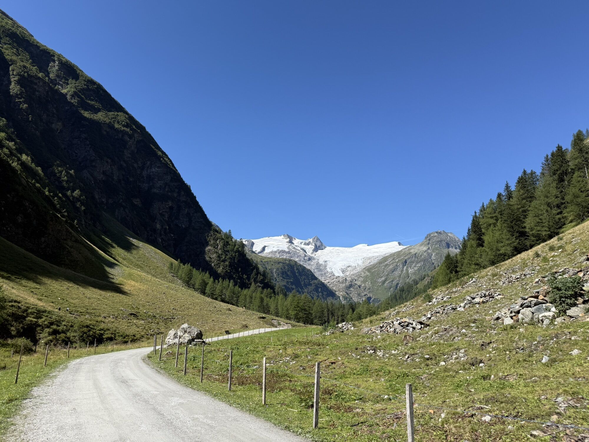
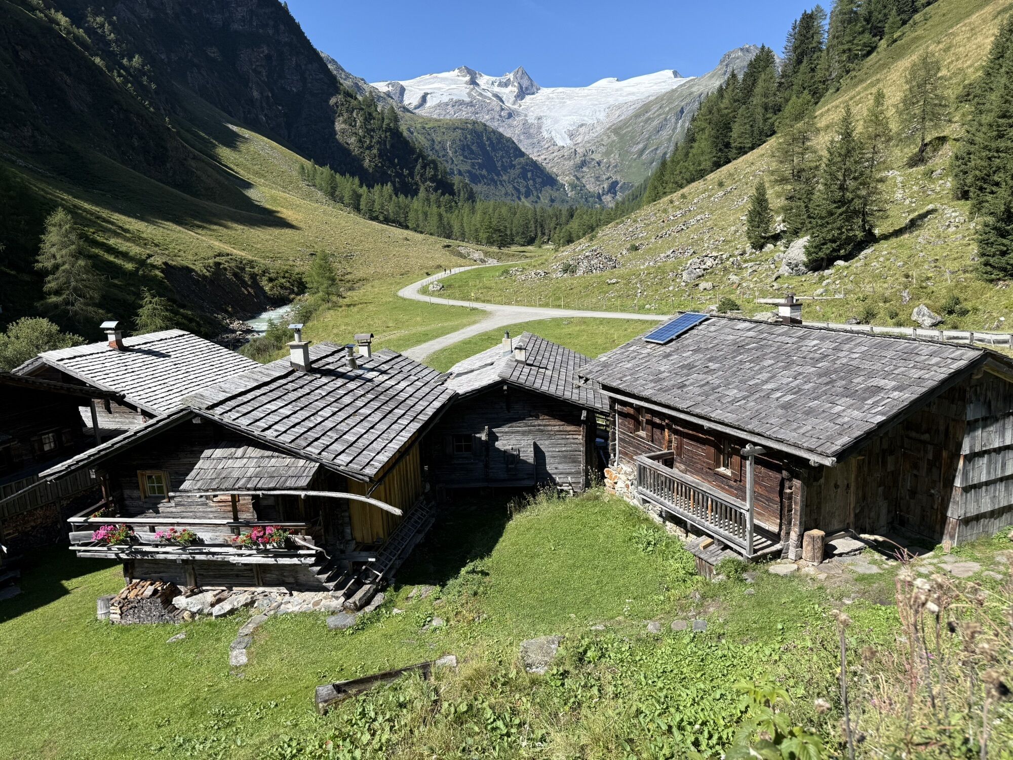
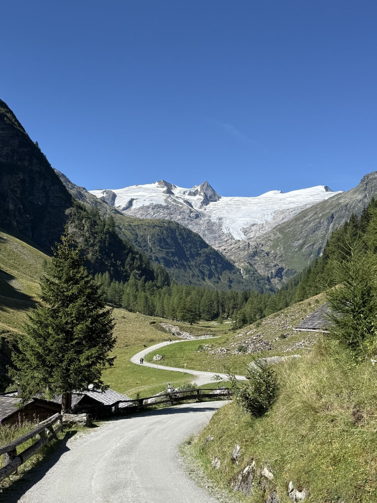
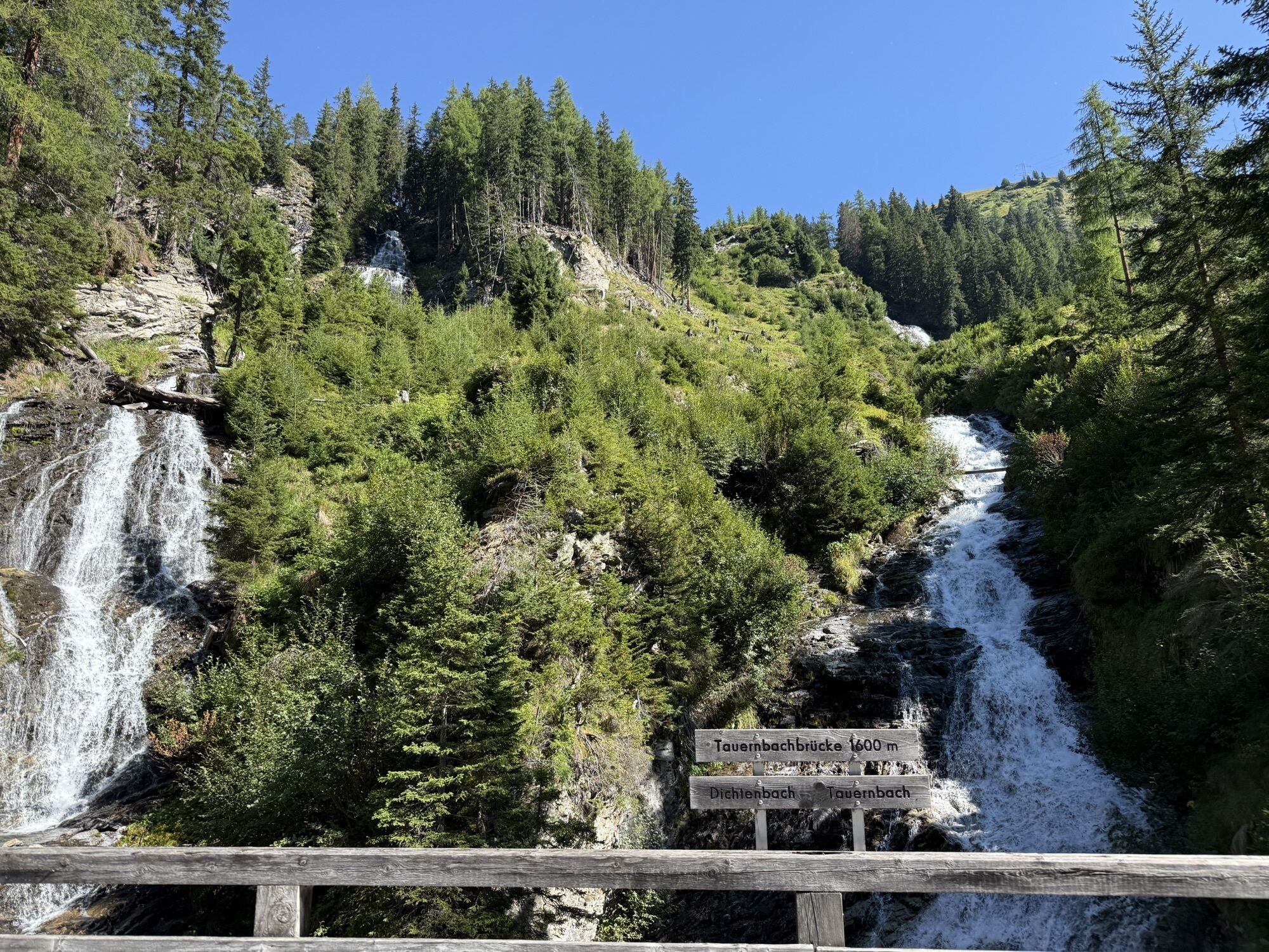
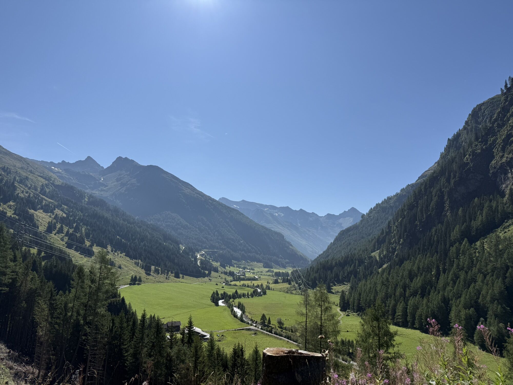
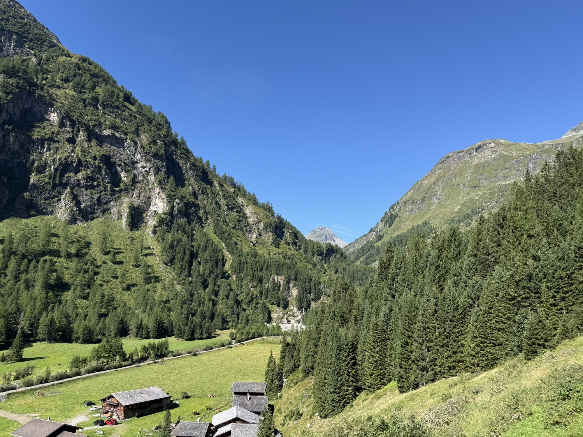
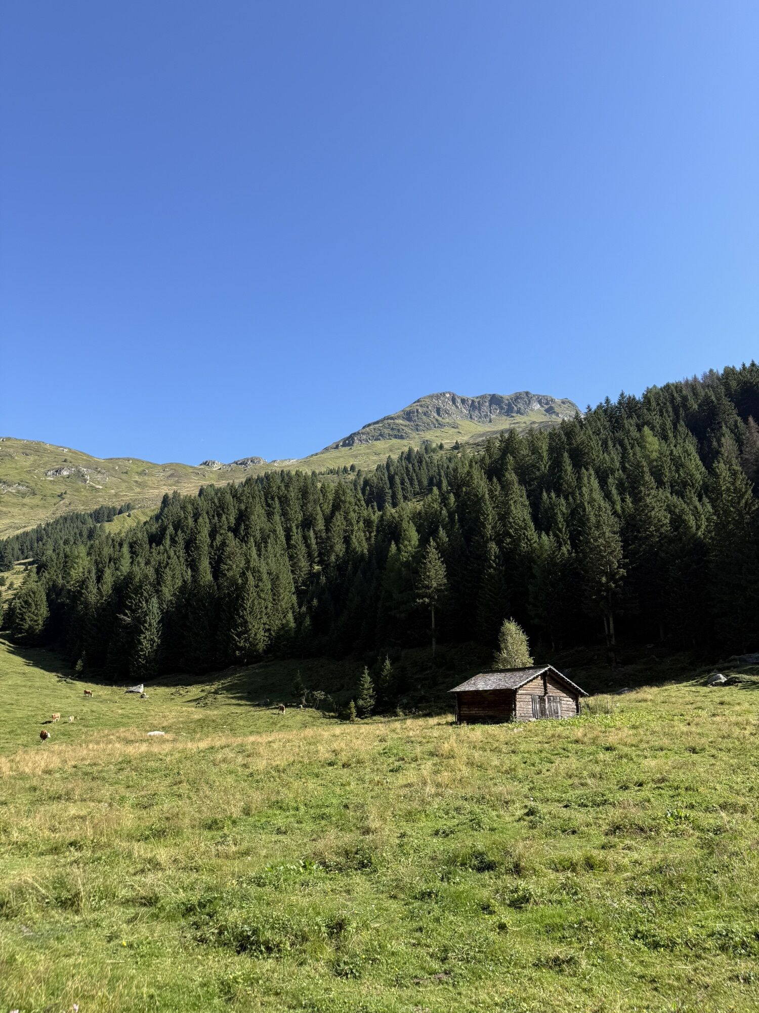
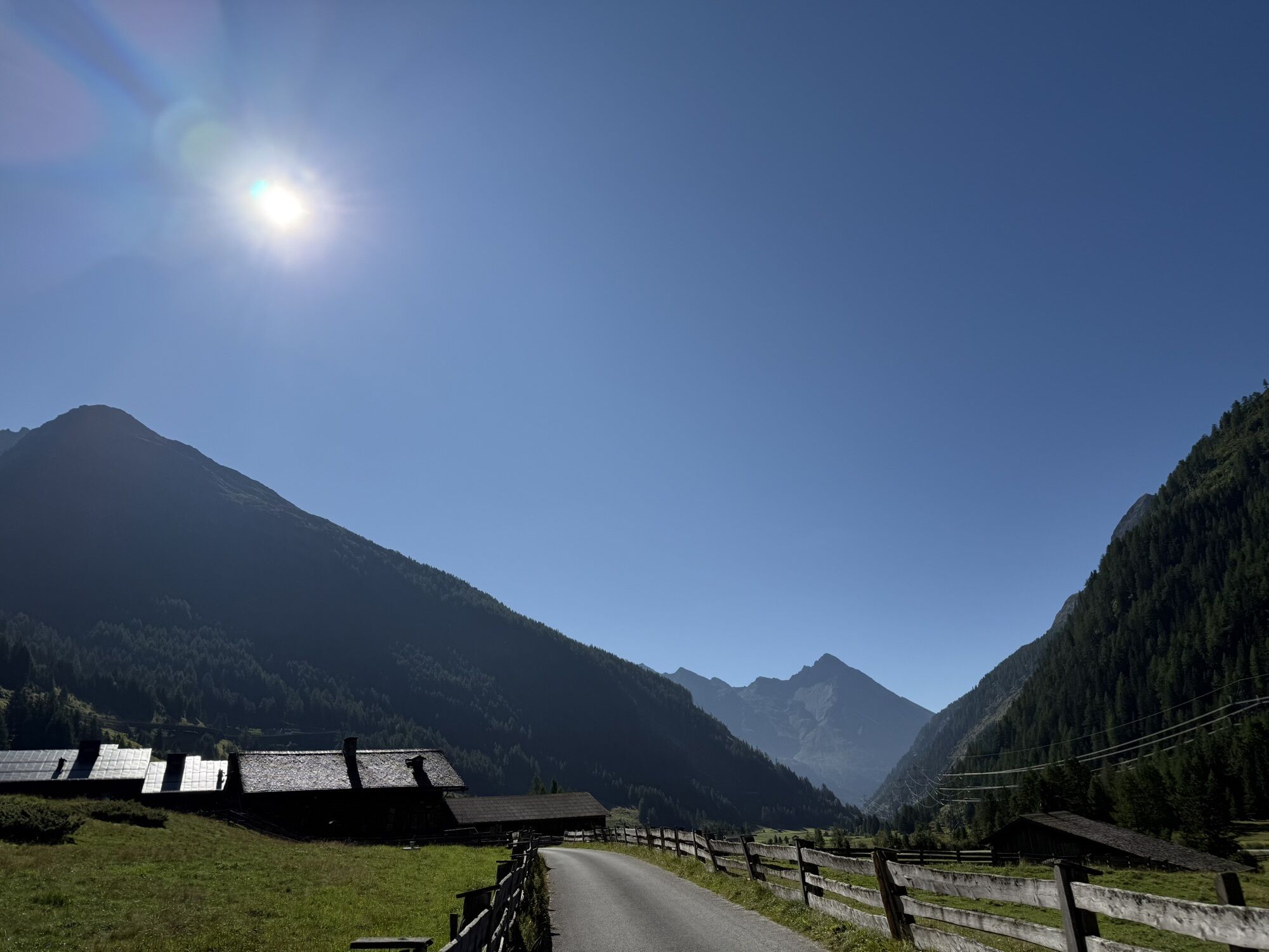
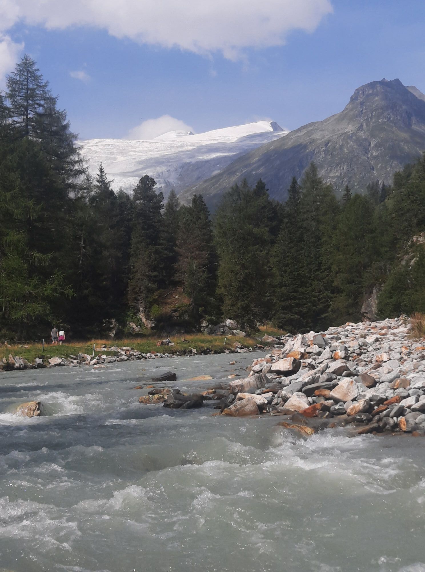
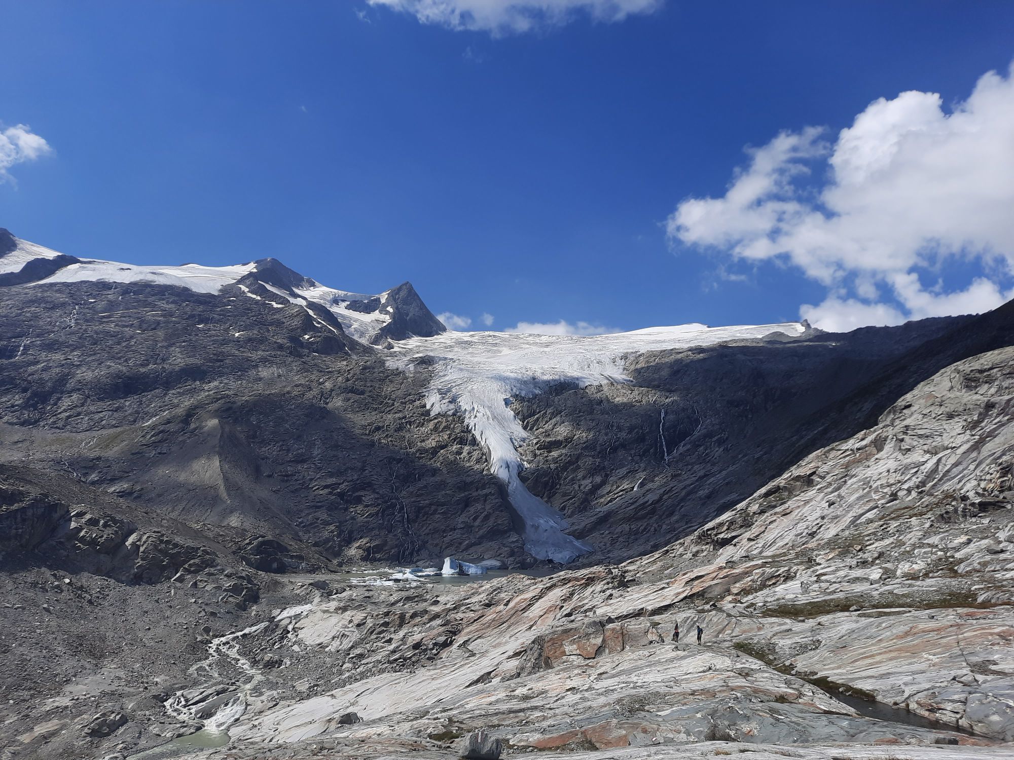
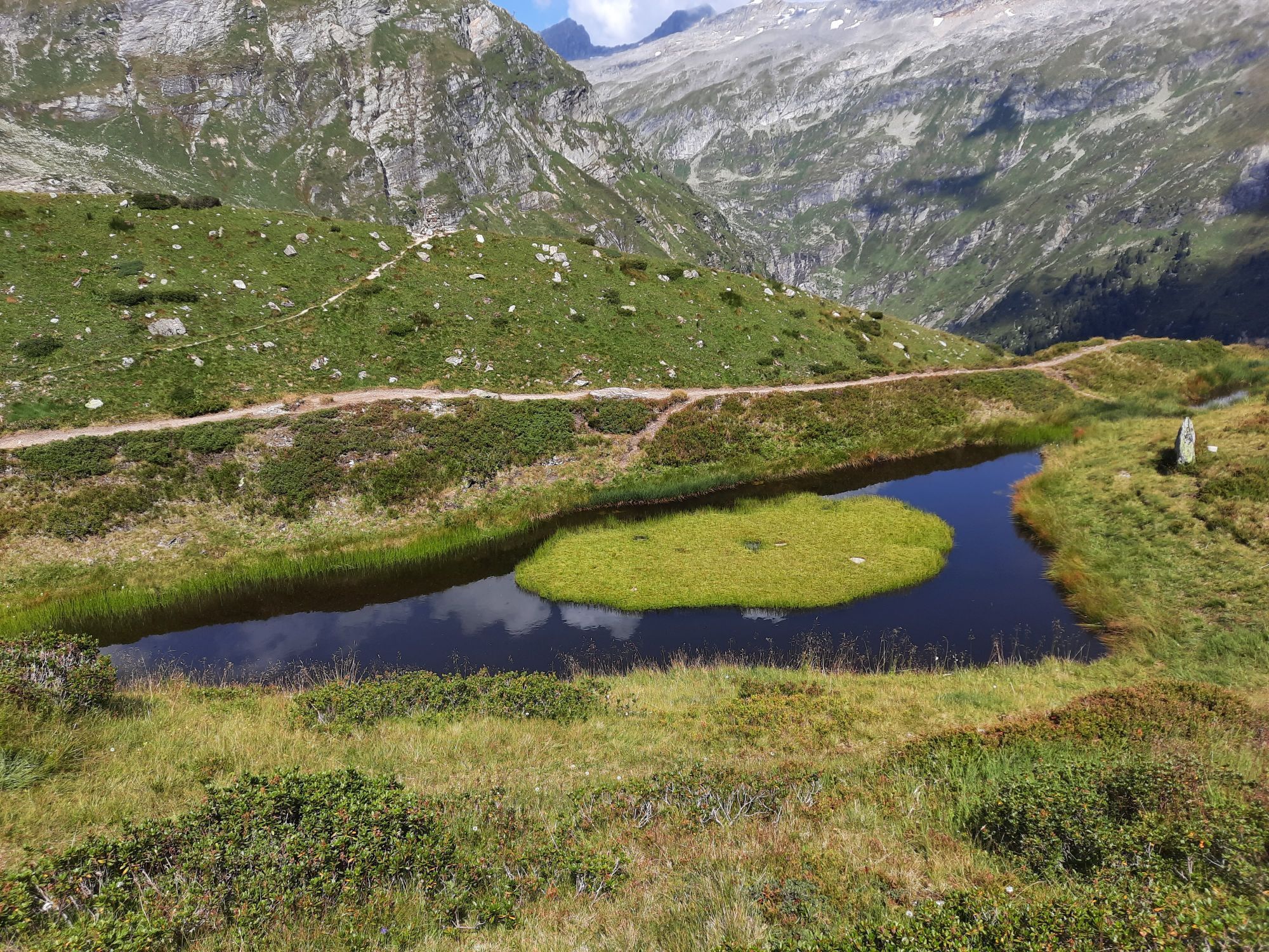
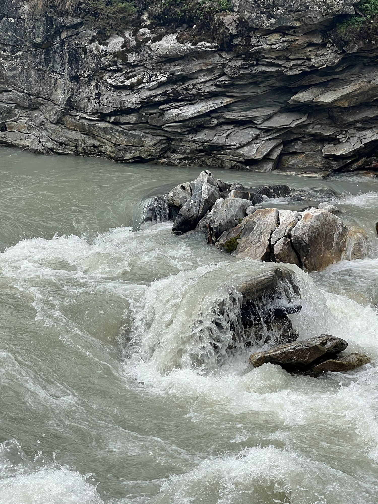
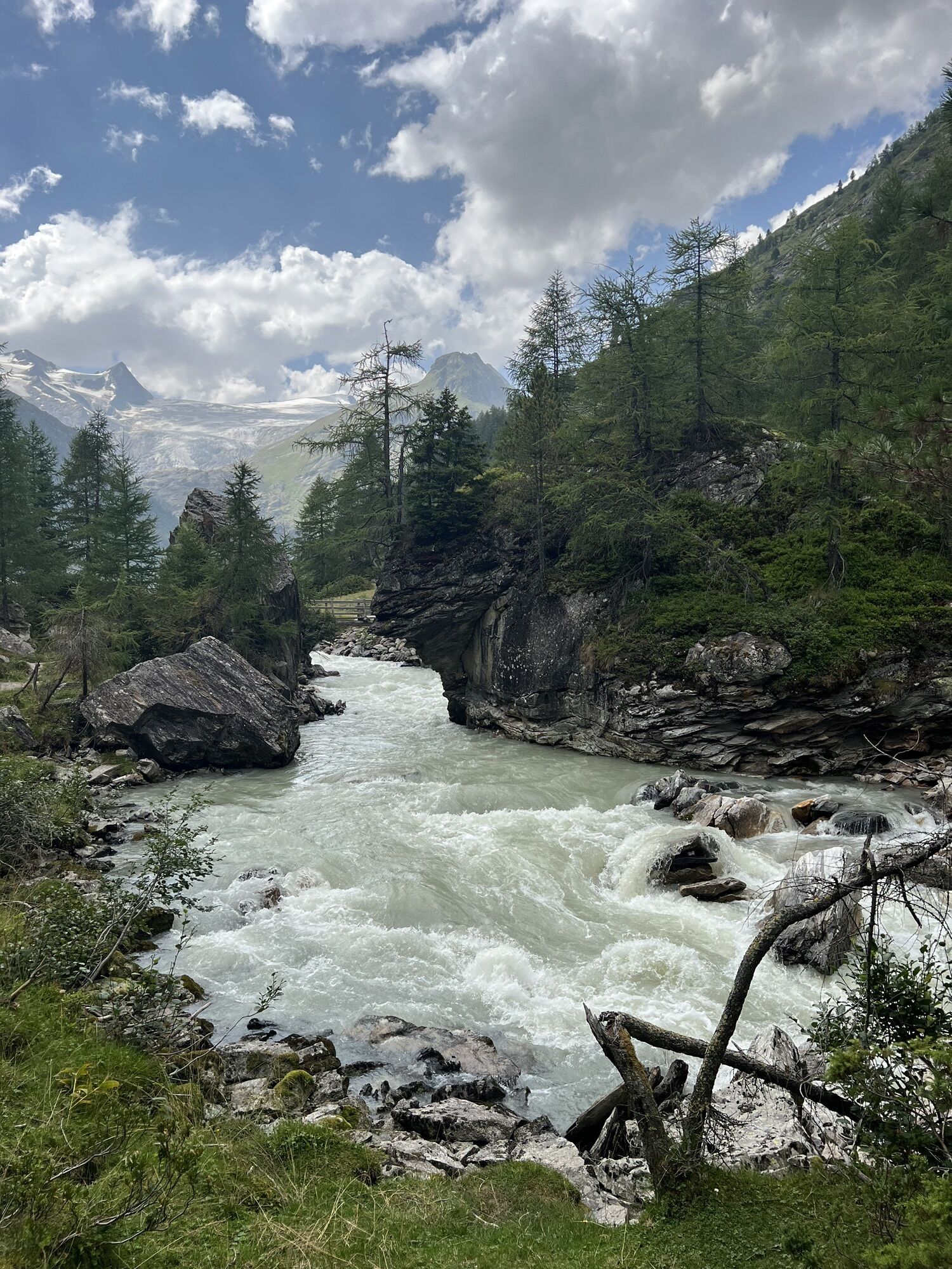
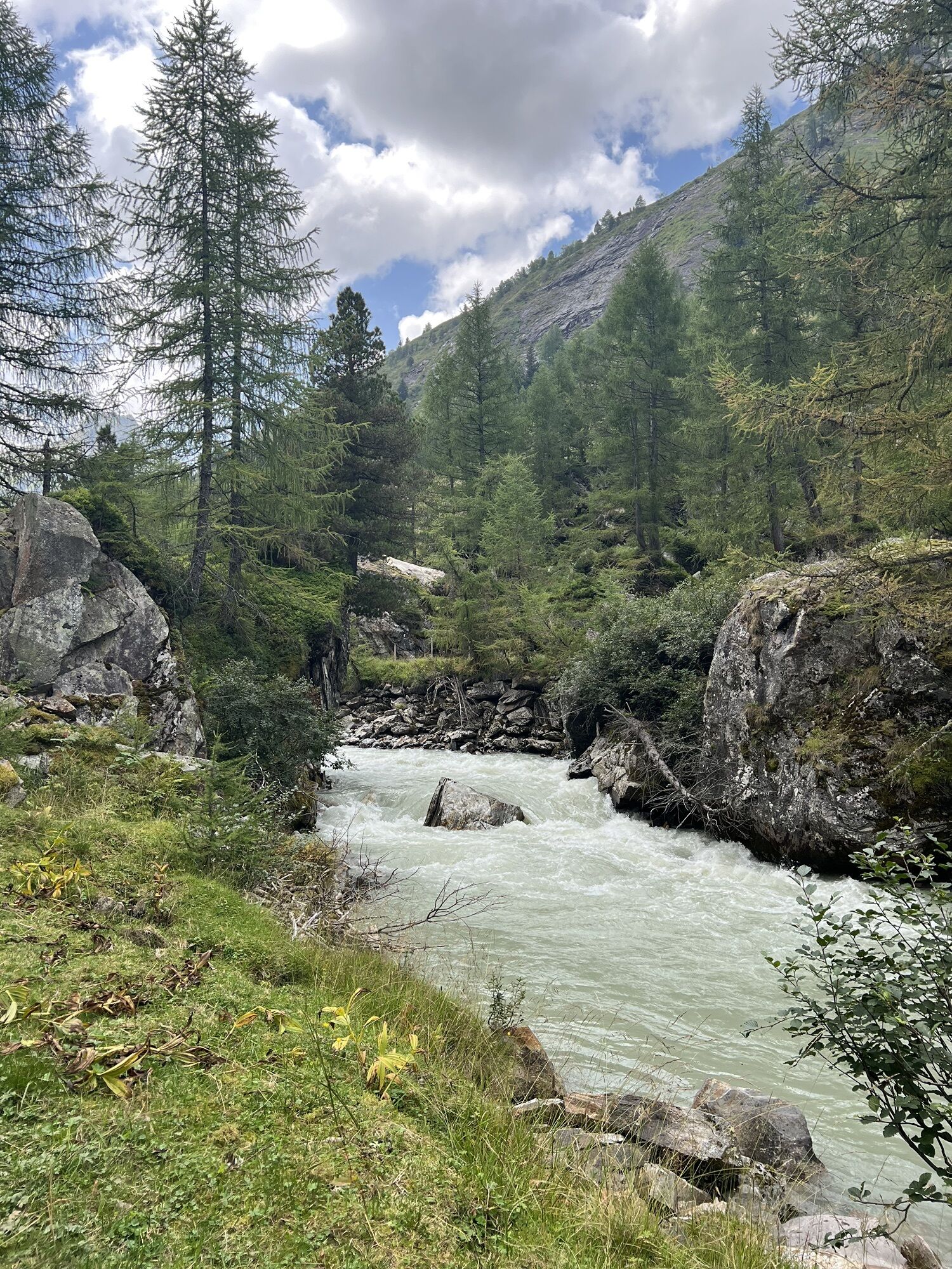

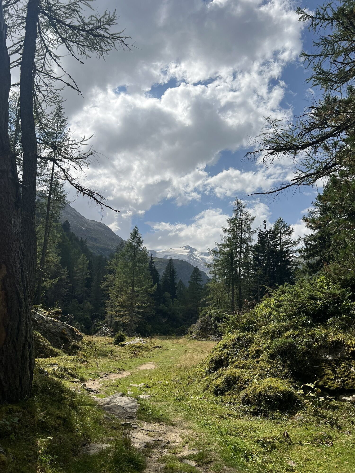


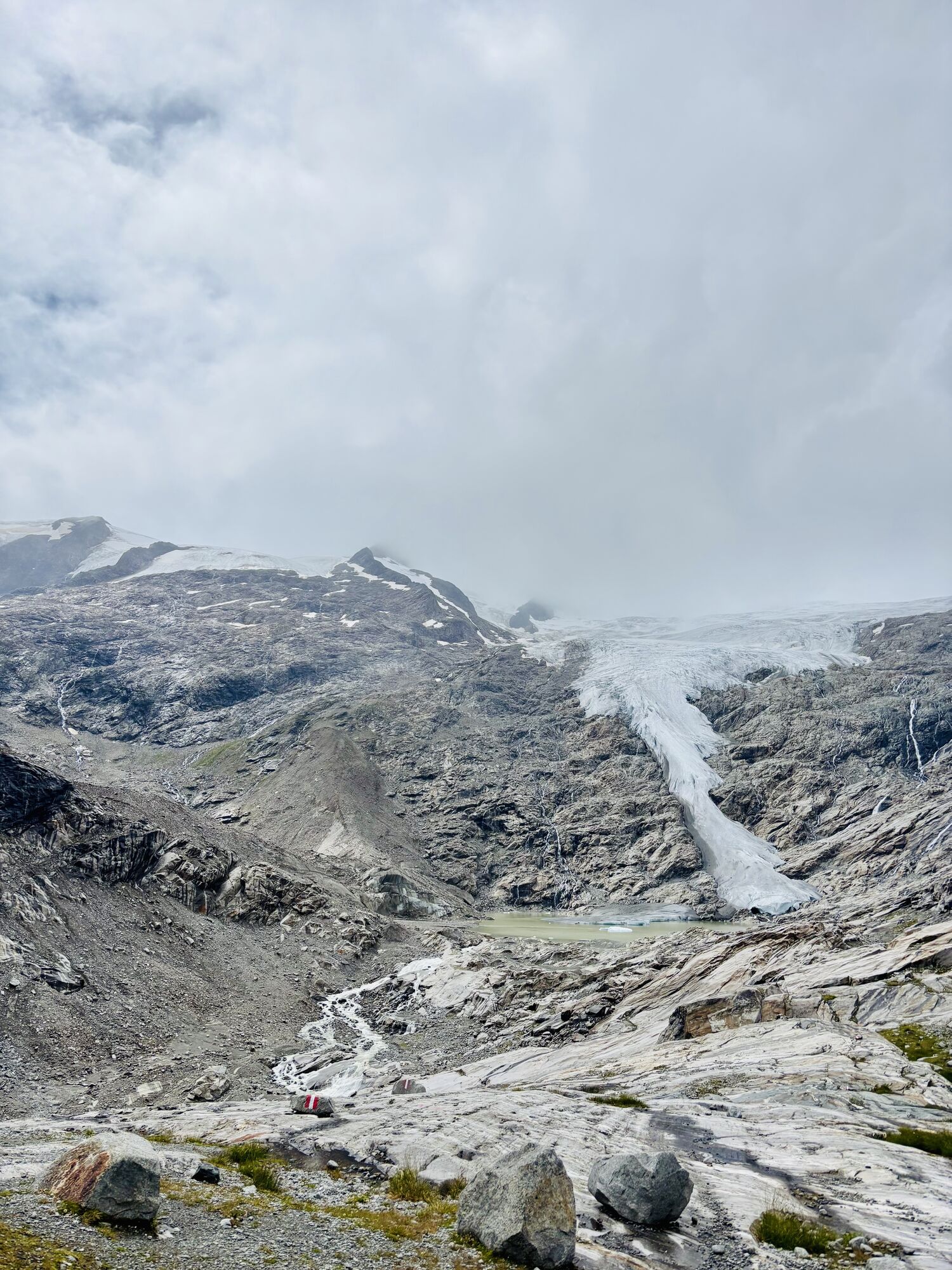
From the Badenerhütte you climb up to the Löbbentörl, one of the best places regarding panoramic view, and then down towards the Salzbodensee. Shortly before you turn left and follow the signs Gletscherweg,...
Popis
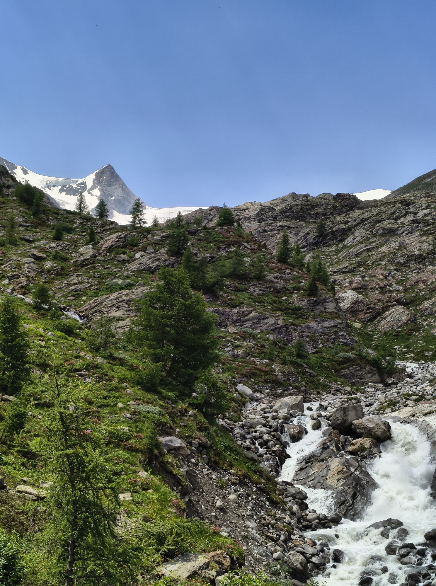
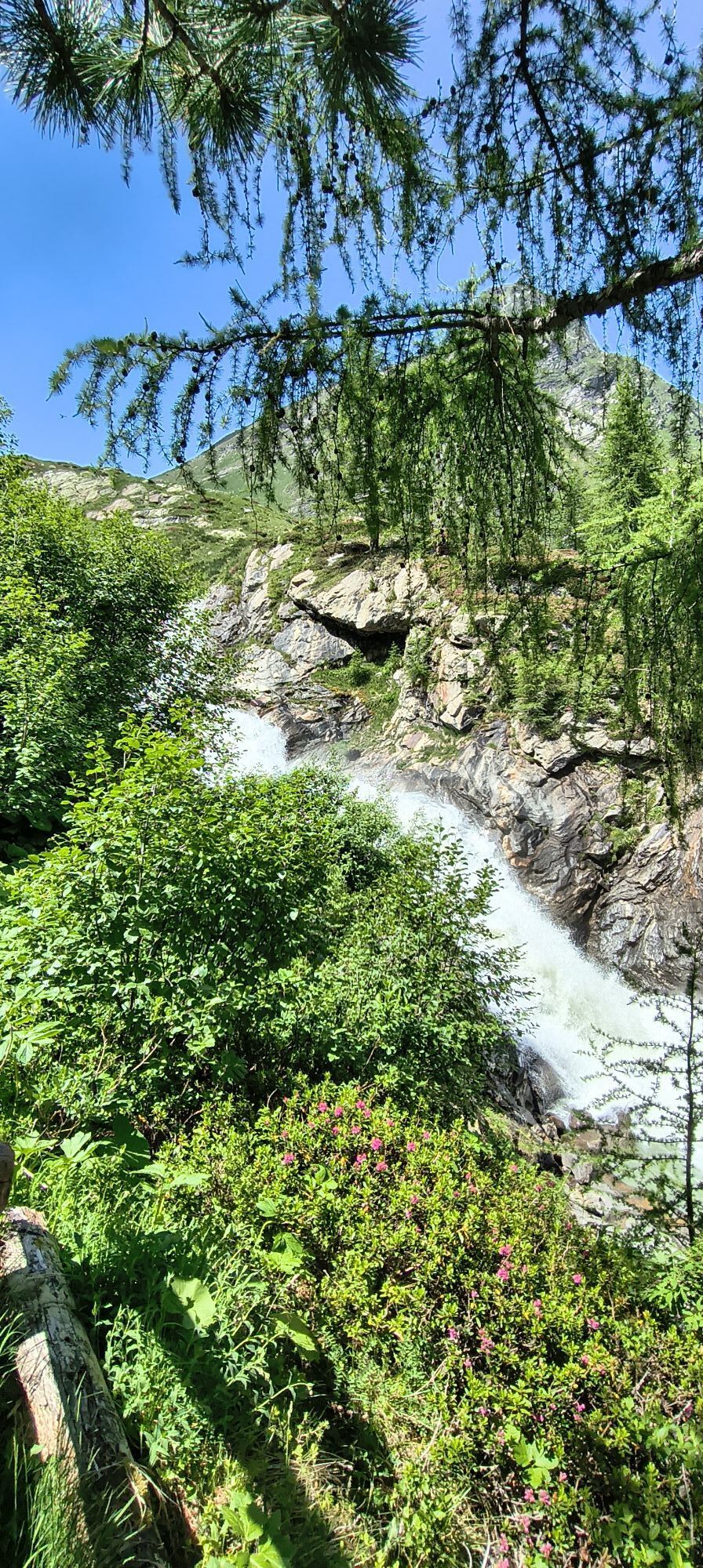
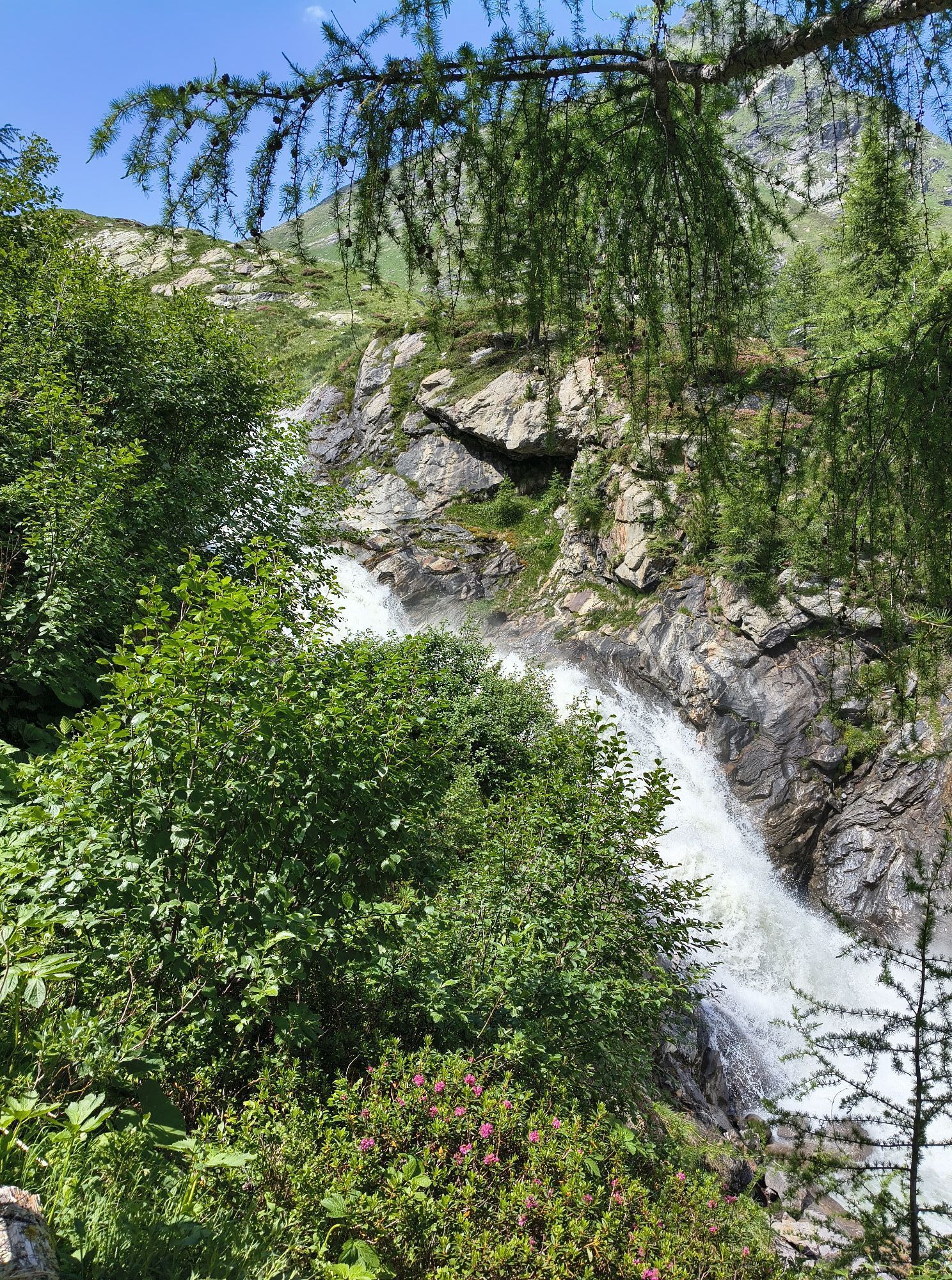
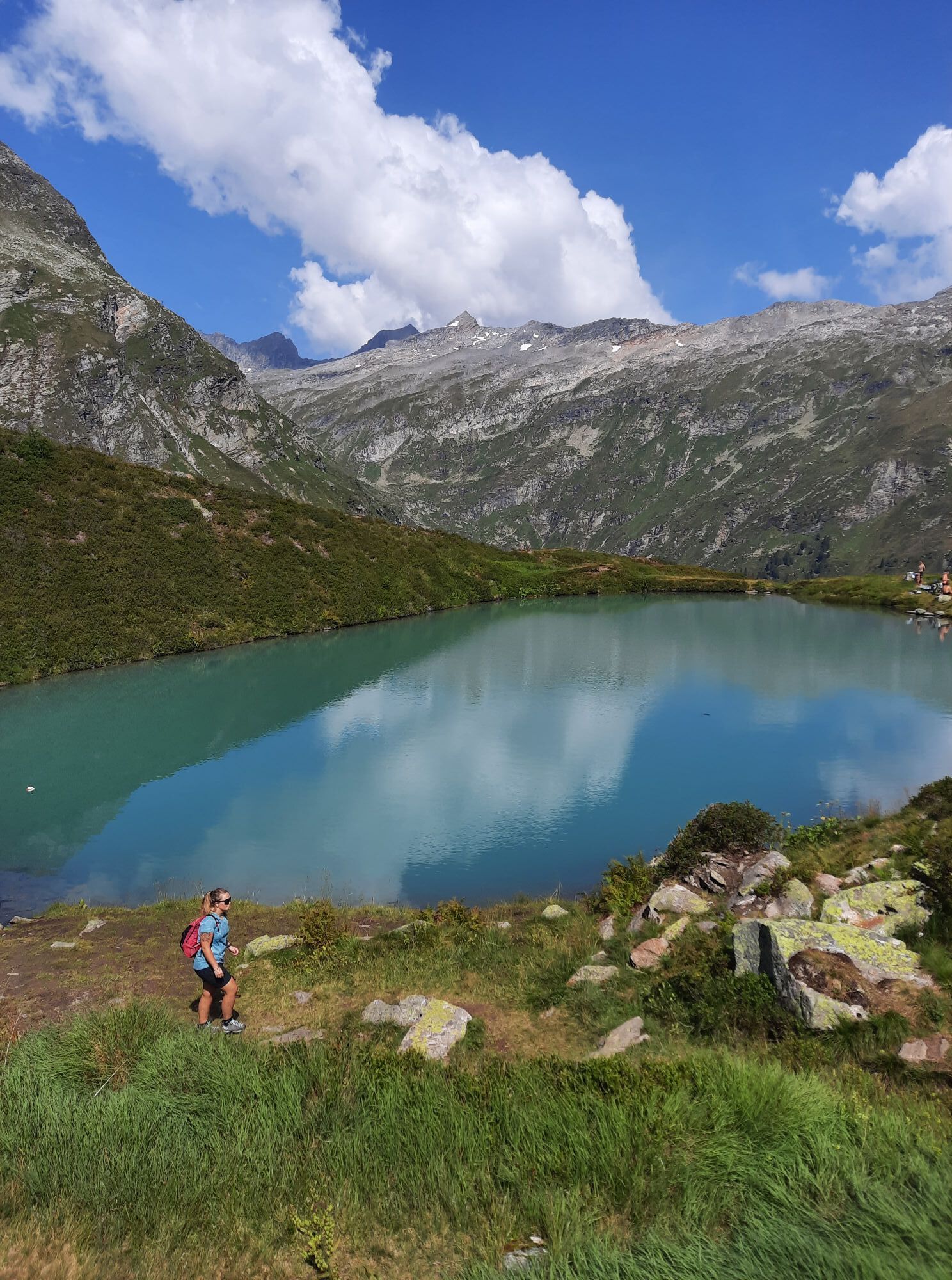
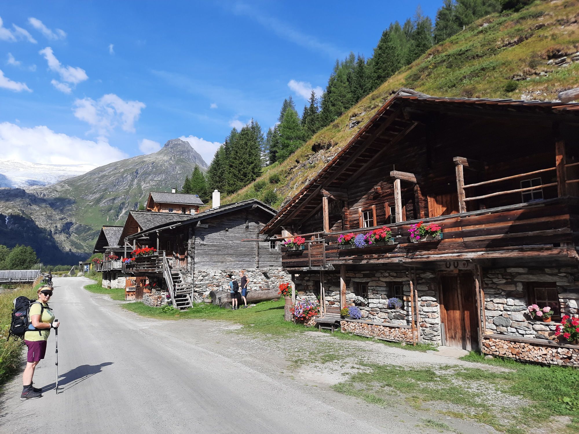
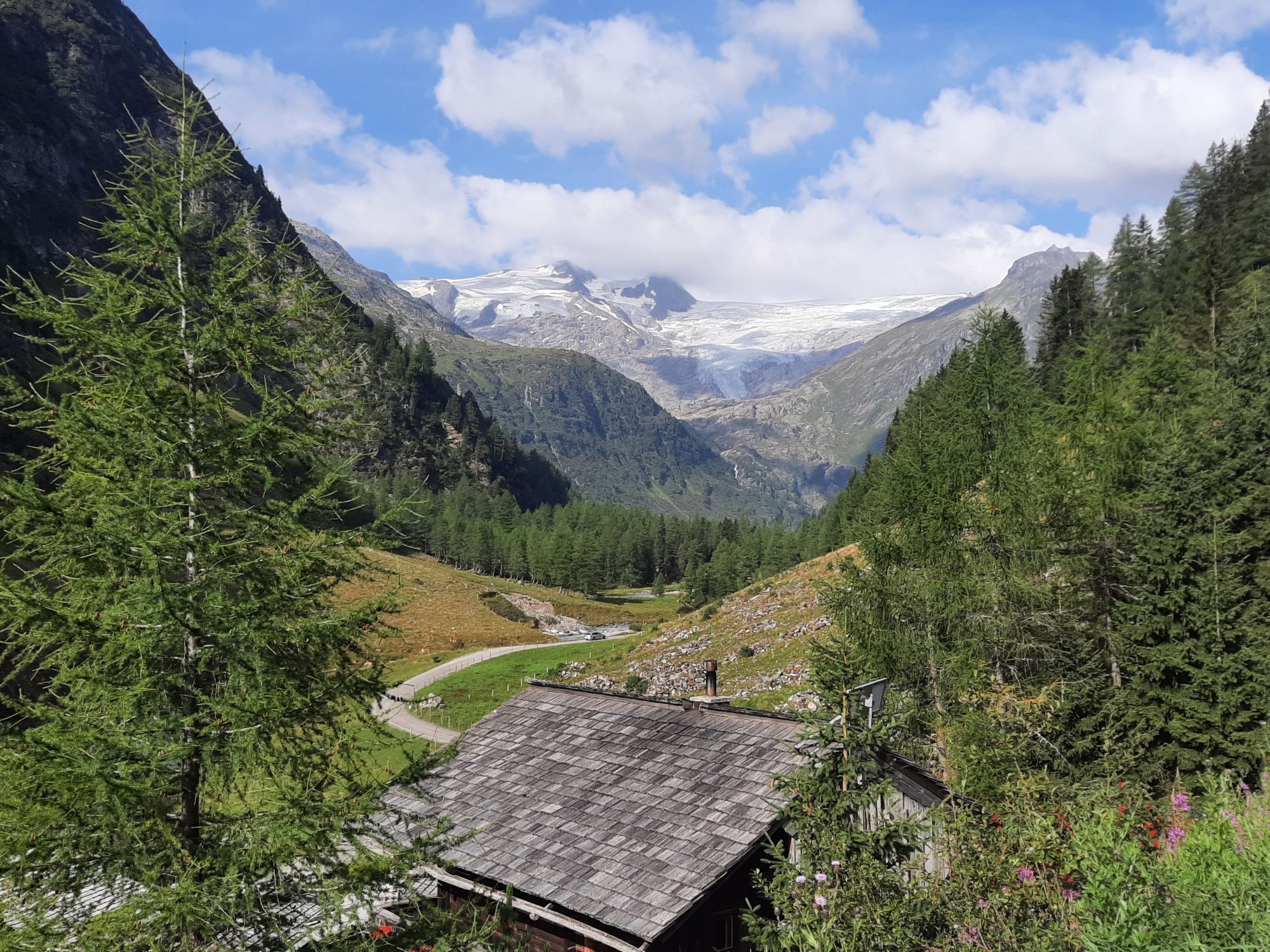
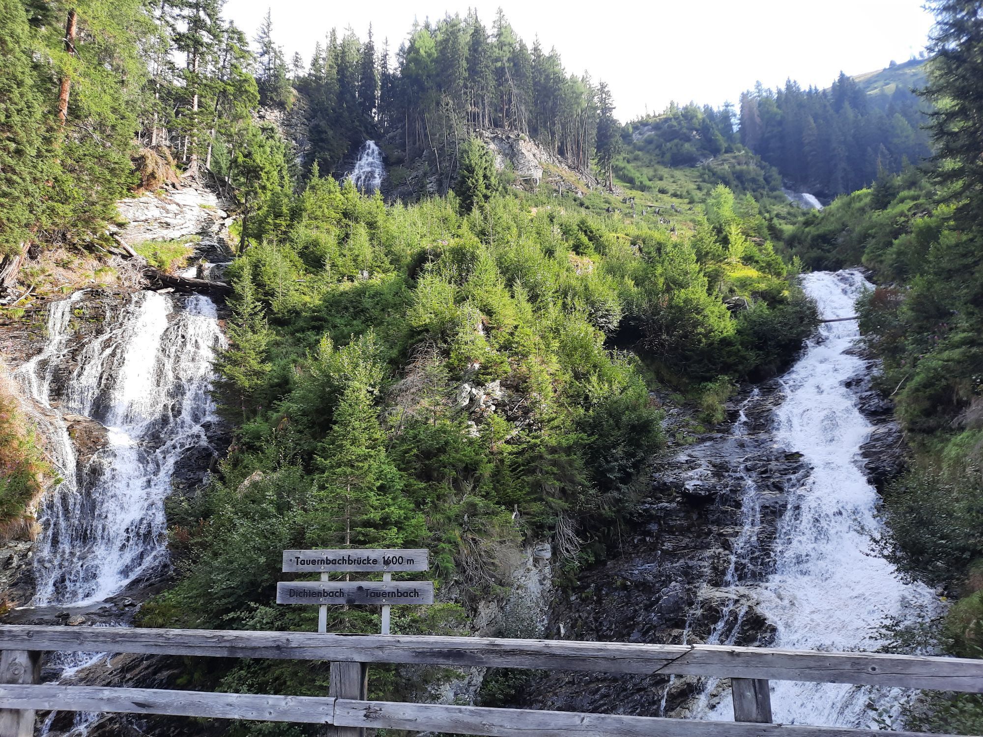
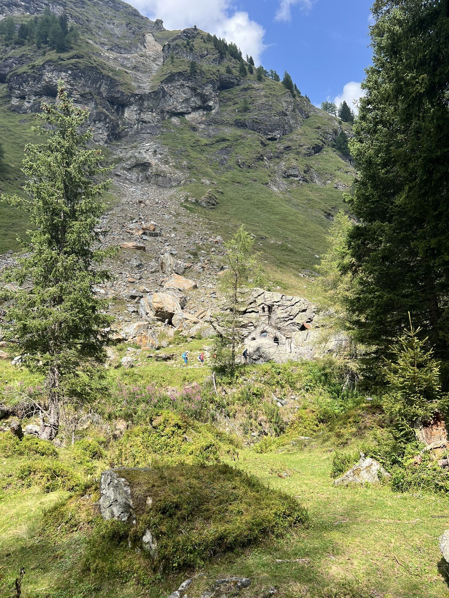
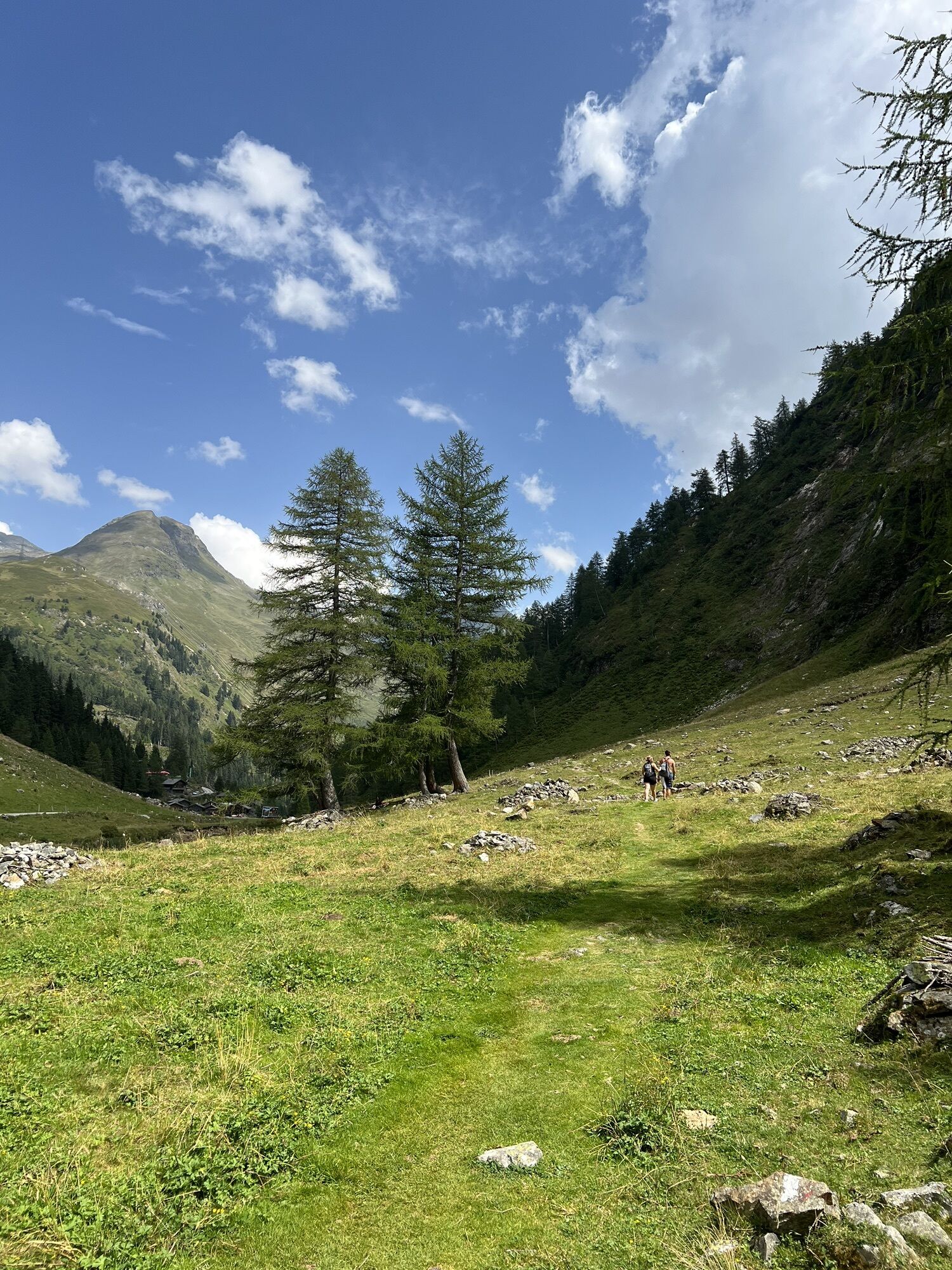
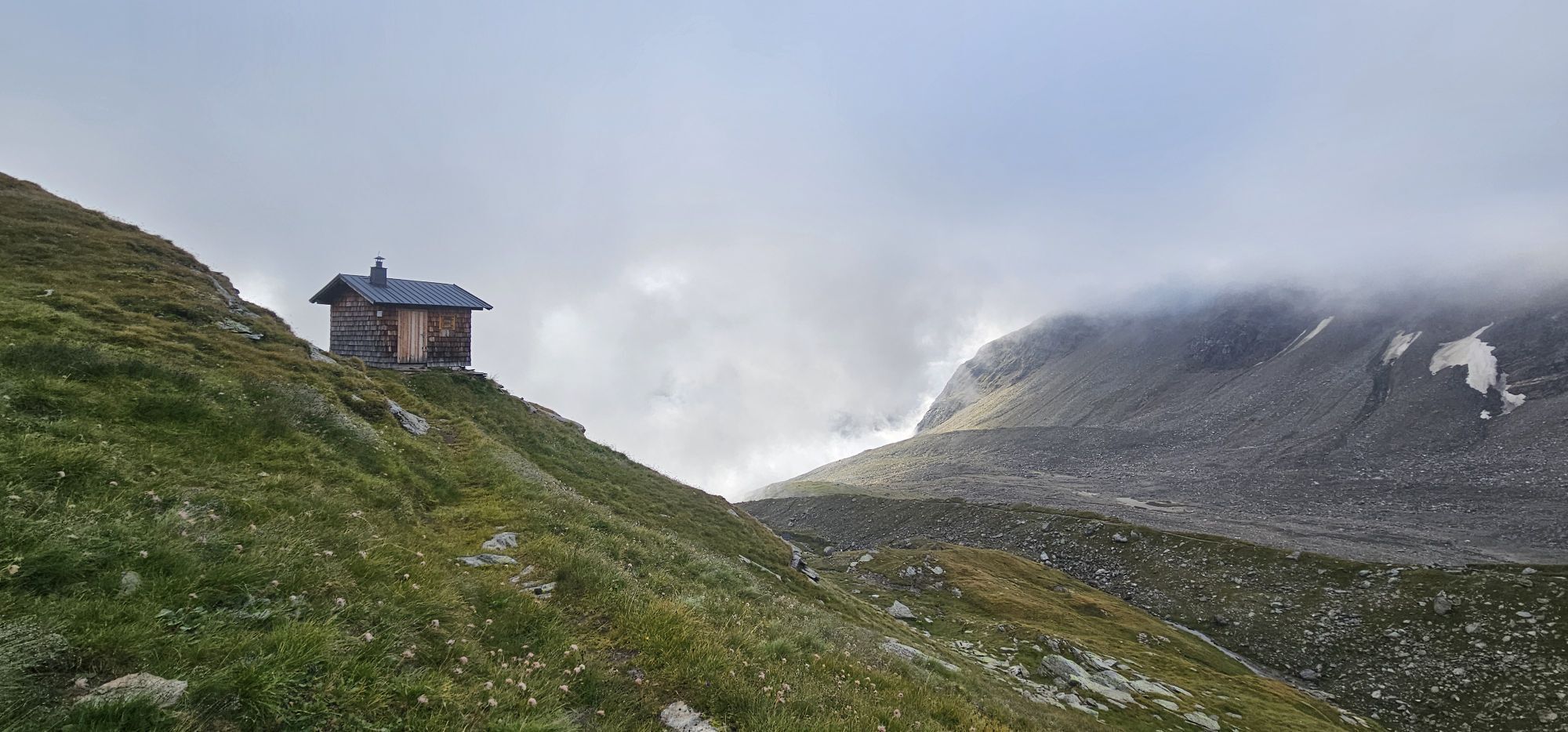
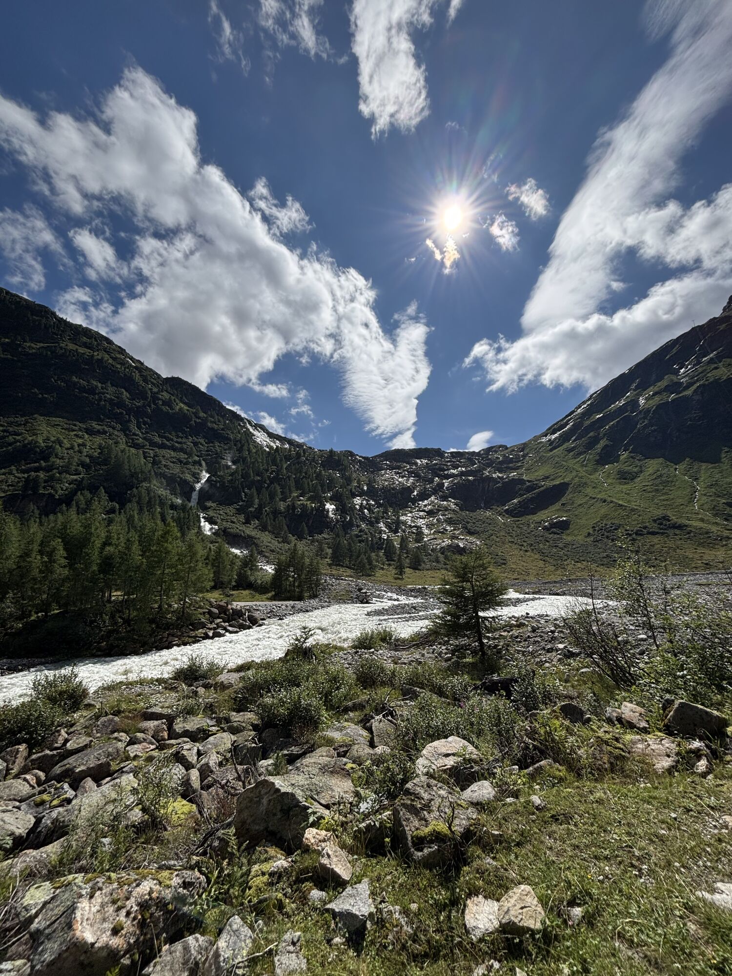
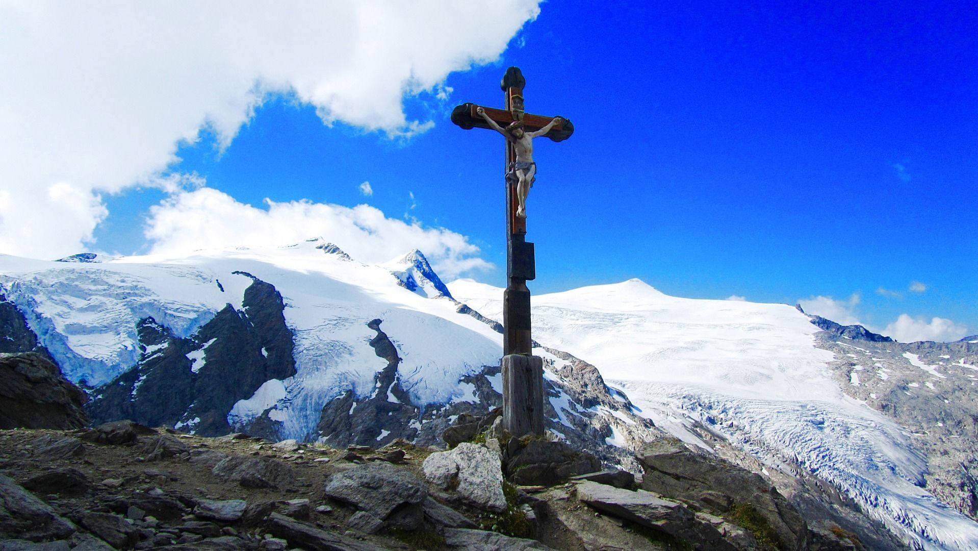
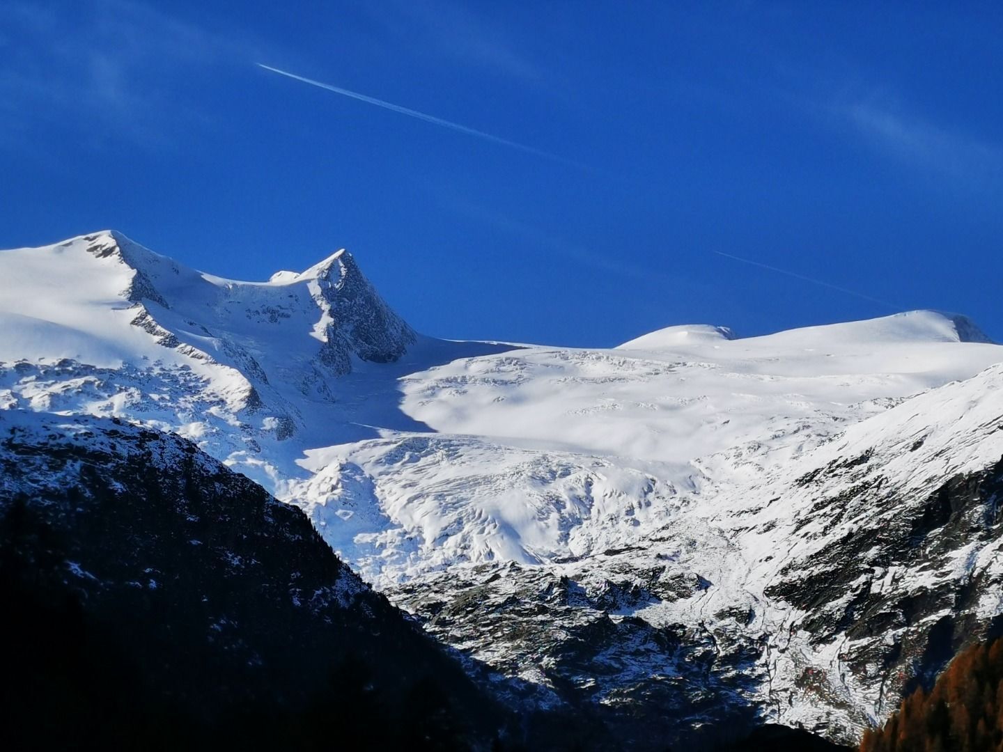
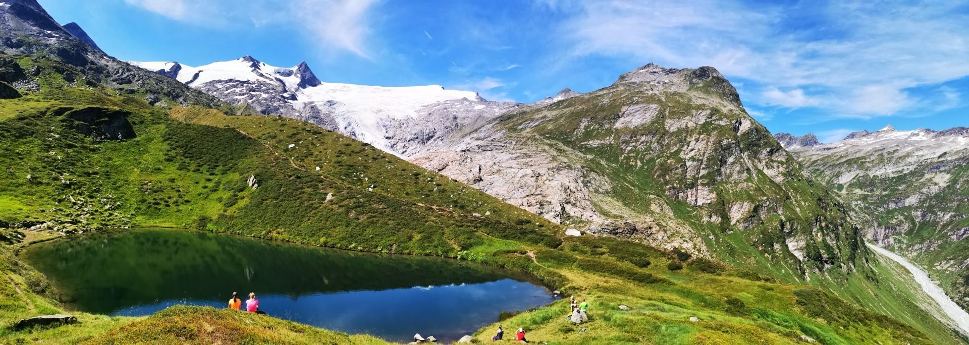
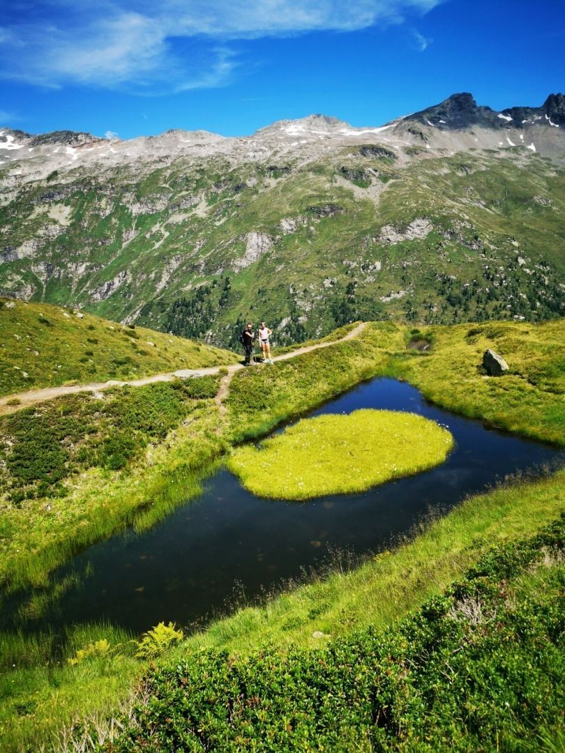
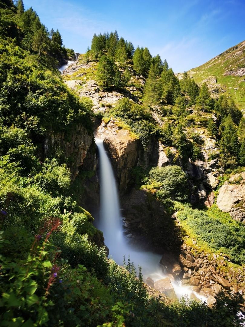
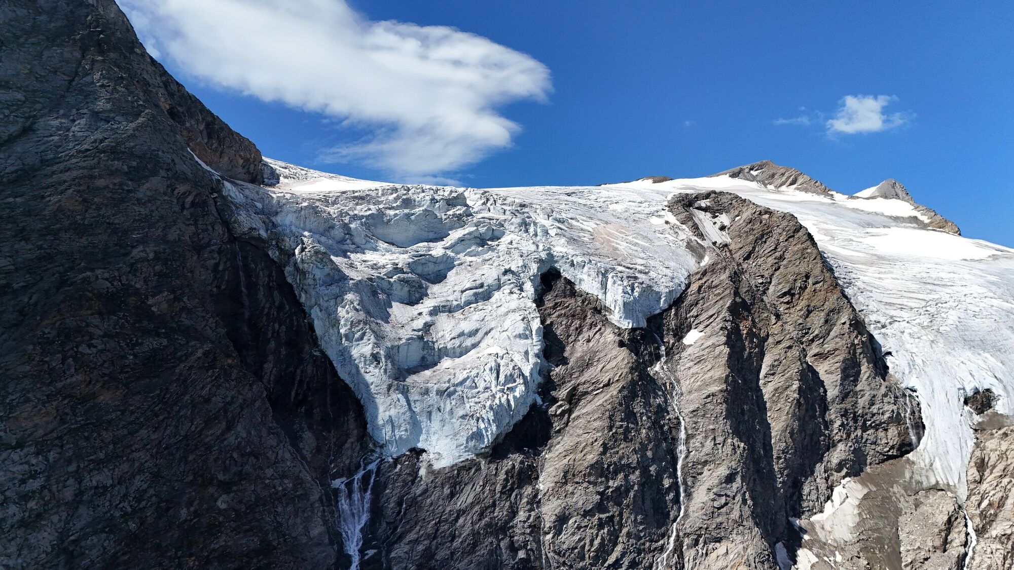
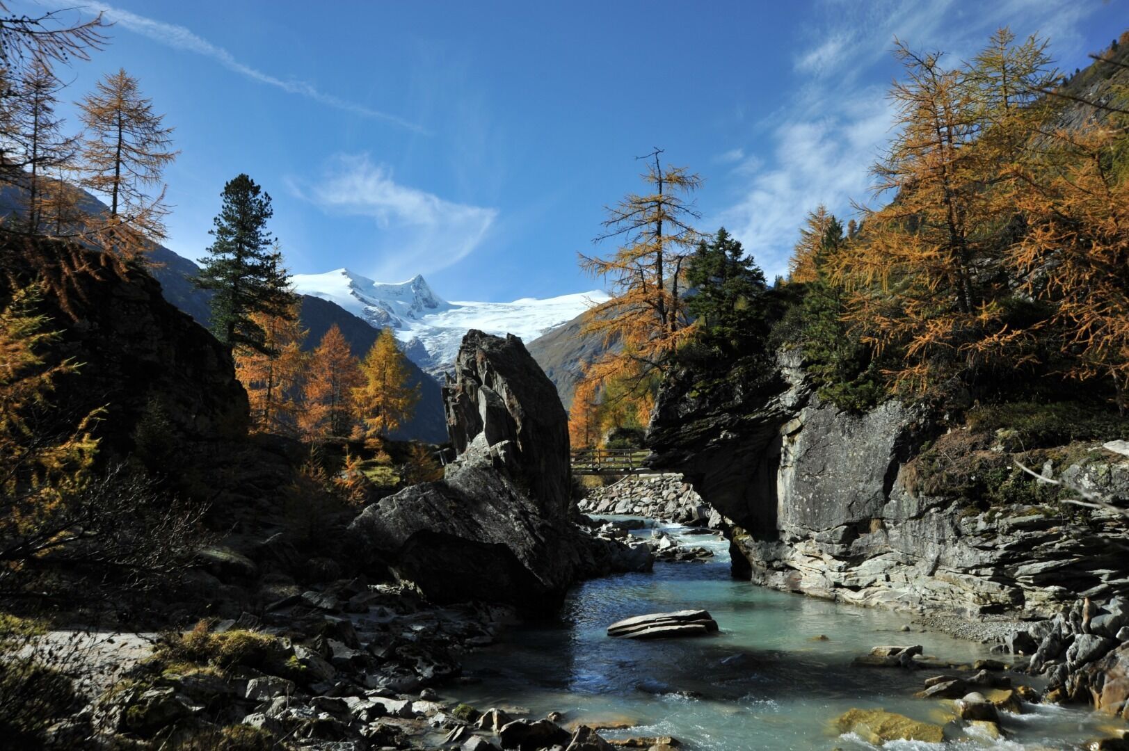
From the Badenerhütte you climb up to the Löbbentörl, one of the best places regarding panoramic view, and then down towards the Salzbodensee. Shortly before you turn left and follow the signs Gletscherweg, direction Neue Prager Hütte. The view to the left in the direction of Schlatenkees invites you to take a short break. For brisk hikers, a short detour to the glacier is also an option. On the descent, follow the signs to Venedigerhaus Innergschlöß. In many serpentines you reach the Venedigerhaus Innergschlöß after about 4.5 hours. From there on foot, by hut cab or panorama train to the Matreier Tauernhaus.
Trasa
Löbbentörl
(2770 m)
Horské sedlo
2.7 km
Innergschlöß
(1691 m)
Vypořádání
11.3 km
Felsenkapelle
(1688 m)
Místo konání bohoslužeb
12.6 km
Außergschlöß
(1556 m)
Vypořádání
13.2 km
Außergschlößalm
(1681 m)
Restaurace
13.4 km
Wohlgemuthsalm
(1530 m)
Vypořádání
14.6 km
Tauer
(1516 m)
Vypořádání
15.9 km
Trasa
Venediger Altitude Trail Stage 6
střední
Turistika
15.99
km
Badener Hütte
(2608 m)
Úkryt
0.0 km
Löbbentörl
(2770 m)
Horské sedlo
2.7 km
Innergschlöß
(1691 m)
Vypořádání
11.3 km
Alpengasthof Venedigerhaus
(1689 m)
Restaurace
11.5 km
Felsenkapelle
(1688 m)
Místo konání bohoslužeb
12.6 km
Frauenbrunn
(1668 m)
Zdroj:
12.9 km
Außergschlöß
(1556 m)
Vypořádání
13.2 km
Berghaus Außergschlöß
(1680 m)
Restaurace
13.3 km
Außergschlößalm
(1681 m)
Restaurace
13.4 km
Wohlgemuthsalm
(1530 m)
Vypořádání
14.6 km
Tauer
(1516 m)
Vypořádání
15.9 km

Naposledy sledované
dnes

Zatím žádné recenze
Aktivity na trase
-

Matrei in Osttirol, Tirol/Österreich
28.06.2026 – Turistika -

Matrei in Osttirol, Tirol/Österreich
22.06.2026 – Turistika -

Matrei in Osttirol, Tirol/Österreich
19.05.2026 – Turistika -
Matrei in Osttirol, Tirol/Österreich
21.03.2026 – Lyžařská trasa -
Matrei in Osttirol, Tirol/Österreich
15.03.2026 – Turistika -

Matrei in Osttirol, Tirol/Österreich
24.07.2025 – Turistika
Oblíbené prohlídky v okolí
-
4.1
Gletscherlehrweg Innergschlöß
středníTuristika 9.36 km -
3.7
Smaragdwanderweg Habachtal/Bramberg
světloTuristika 7.17 km -
4.5
Circular hike Proßeggklamm
středníTuristika 8.41 km -
4.6
Vom Matreier Tauernhaus über die Felsenkapelle nach Innergschlöss
světloTuristika 9.19 km -
4.8
Circular hike suspension bridge Isel Canyon via "Hohe Bank"
středníTuristika 8.11 km -
3.8
Mittersill - Hintersee und Plattachsee
heavyTuristika 9.90 km -
4.8
Hollersbach - Neue Fürther Hütte
Turistika 16.0 km -
4.1
Habachtal bis zur Thüringer Hütte
Turistika 6.53 km -
4.1
Via the Schösswendklamm to Hintersee
středníTuristika 8.29 km -
4.8
Hollersbach: Stream Nature Trail Path no. 16
středníTematická stezka 11.7 km
Pěší turistika a stopování

Více než 550.000 návrhů výletů, podrobné mapy a intuitivní plánovač tras dělají z aplikace nezbytnou výbavu pro všechny milovníky přírody.

Nenechte si ujít nabídky a inspiraci pro vaši příští dovolenou
Přihlaste se k odběru newsletteru
Chyba
Došlo k chybě. Zkuste to prosím znovu.
Děkujeme za vaši registraci
Vaše e-mailová adresa byl přidán do poštovního seznamu.
Zájezdy po celé Evropě
Rakousko
Švýcarsko
Německo
Itálie
Slovenia
Francie
Nizozemsko
Belgie
Polsko
Lichtenštejnsko
Česko
Slovensko
Španělsko
Chorvatsko
Bosna a Hercegovina
Lucembursko
Andorra
Portugal
Iceland
United Kingdom
Ireland
Greece
Albania
North Macedonia
Malta
Norway
Montenegro
Moldova
Kosovo
Hungary
San Marino
Romania
Estonia
Latvia
Belarus
Cyprus
Lithuania
Serbia
Bulgaria
Monaco
Denmark
Sweden
Finland





