




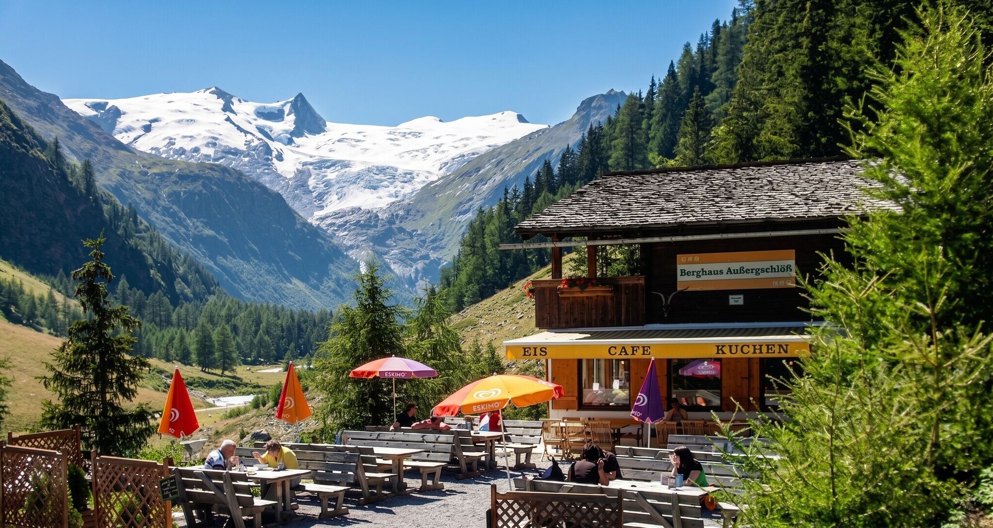
Hiking tour to Berghaus Außergschlöß 1.700m

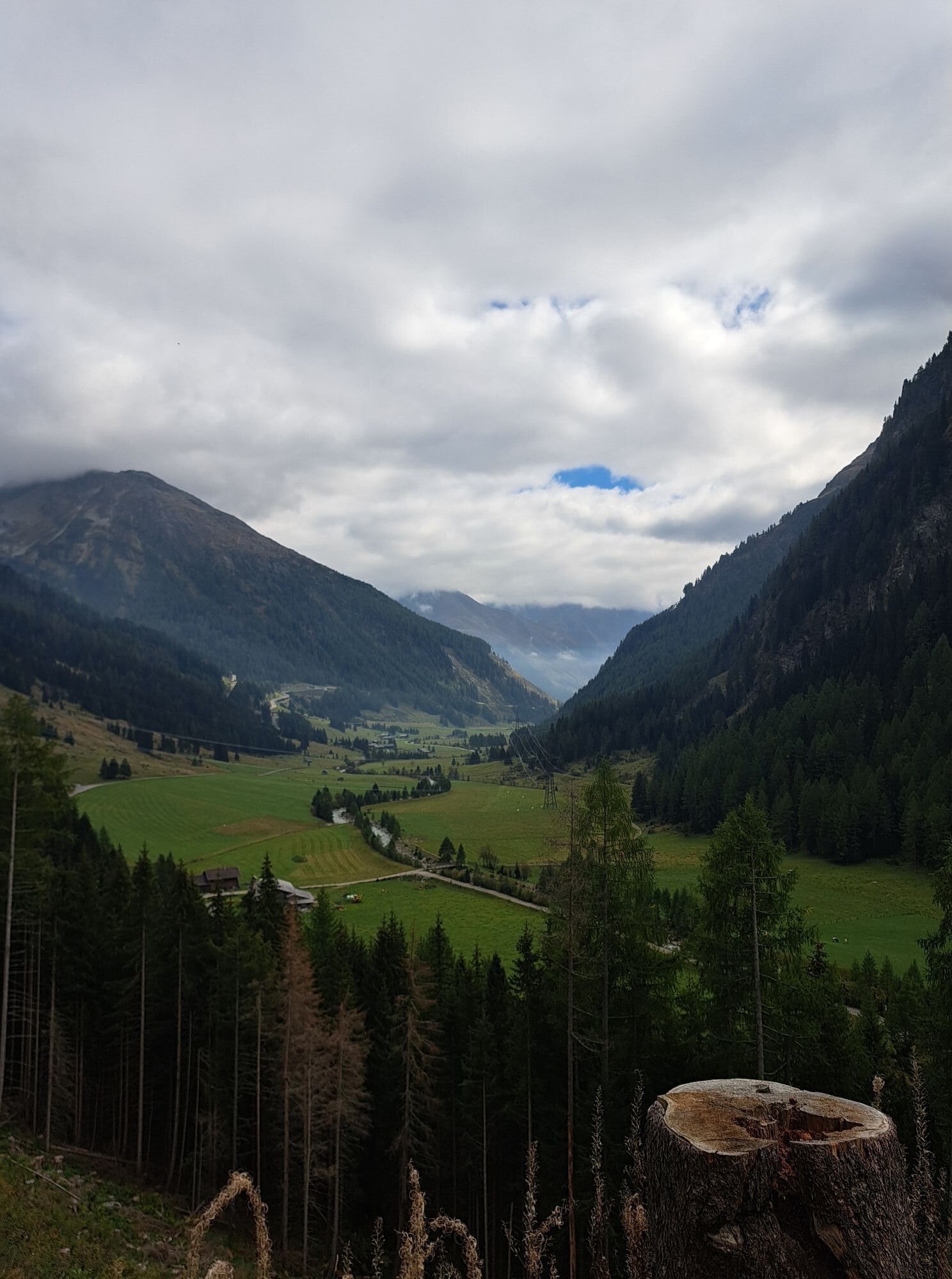
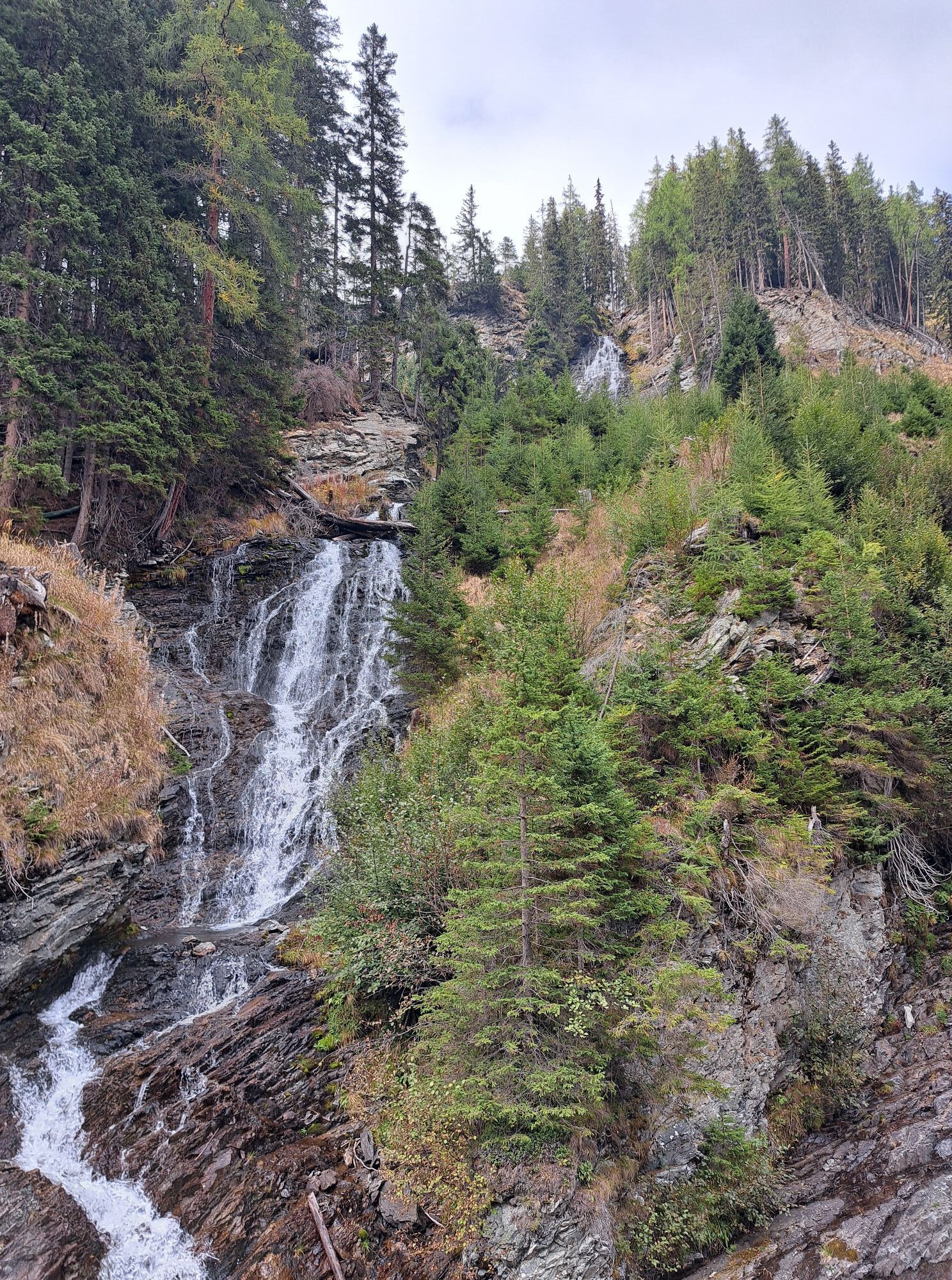
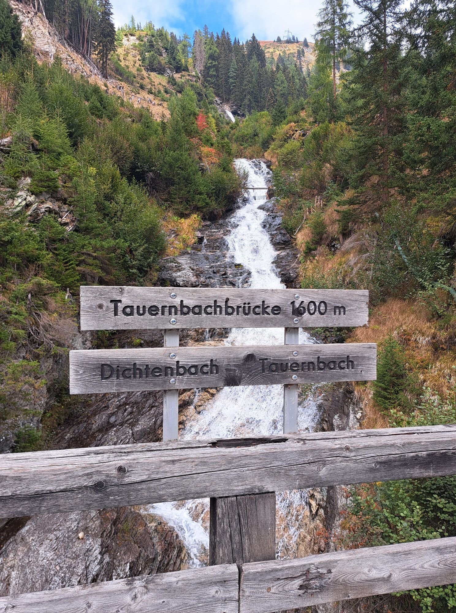
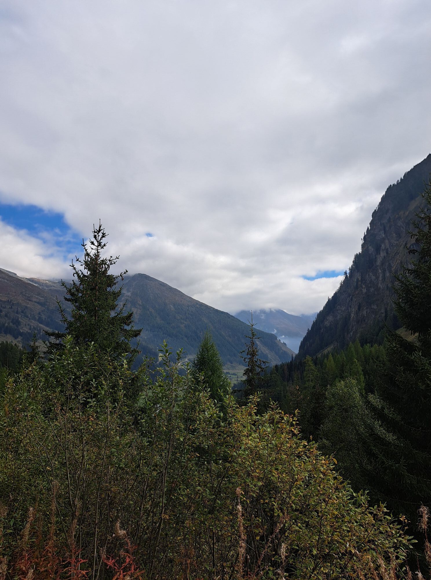
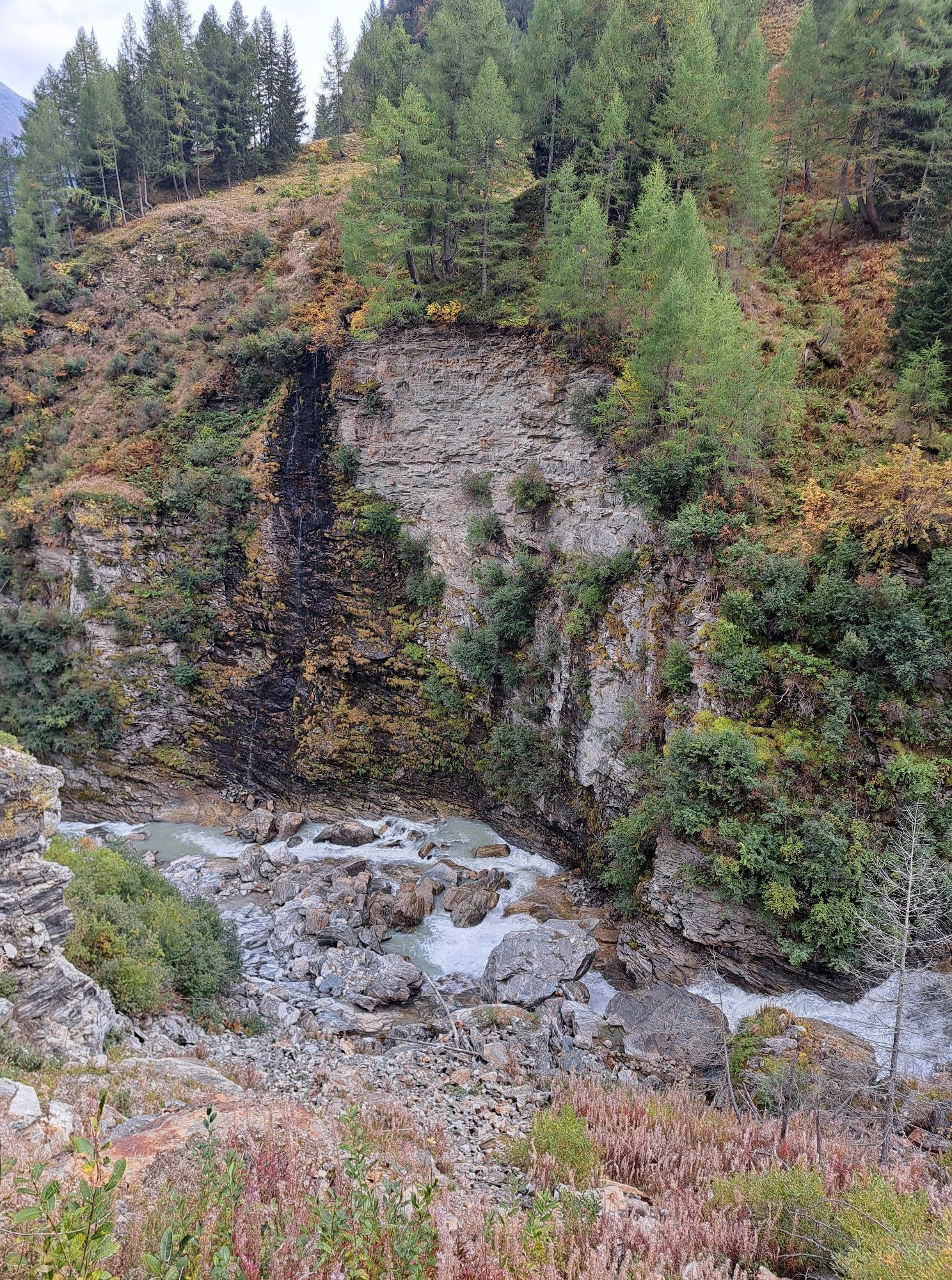
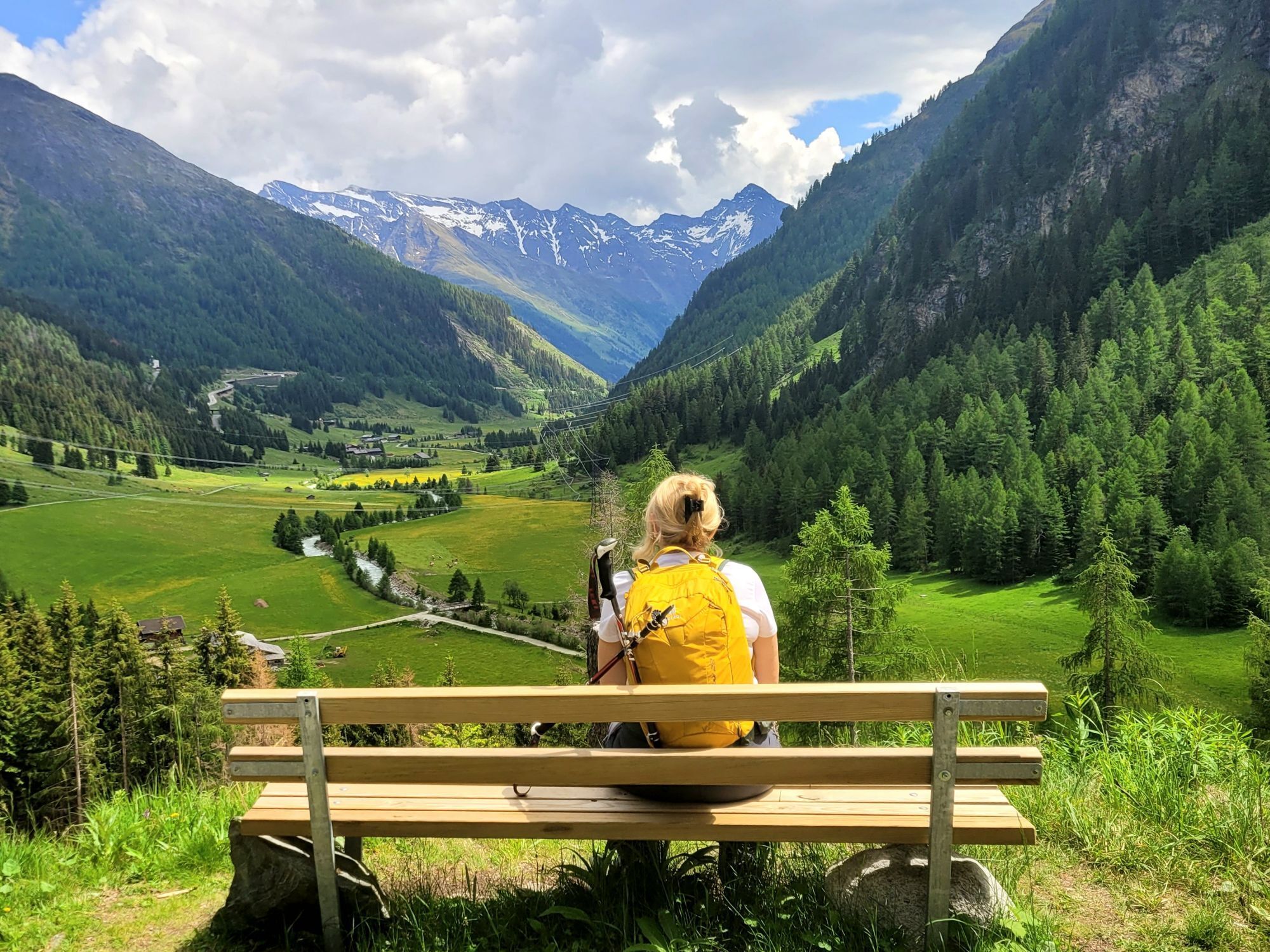
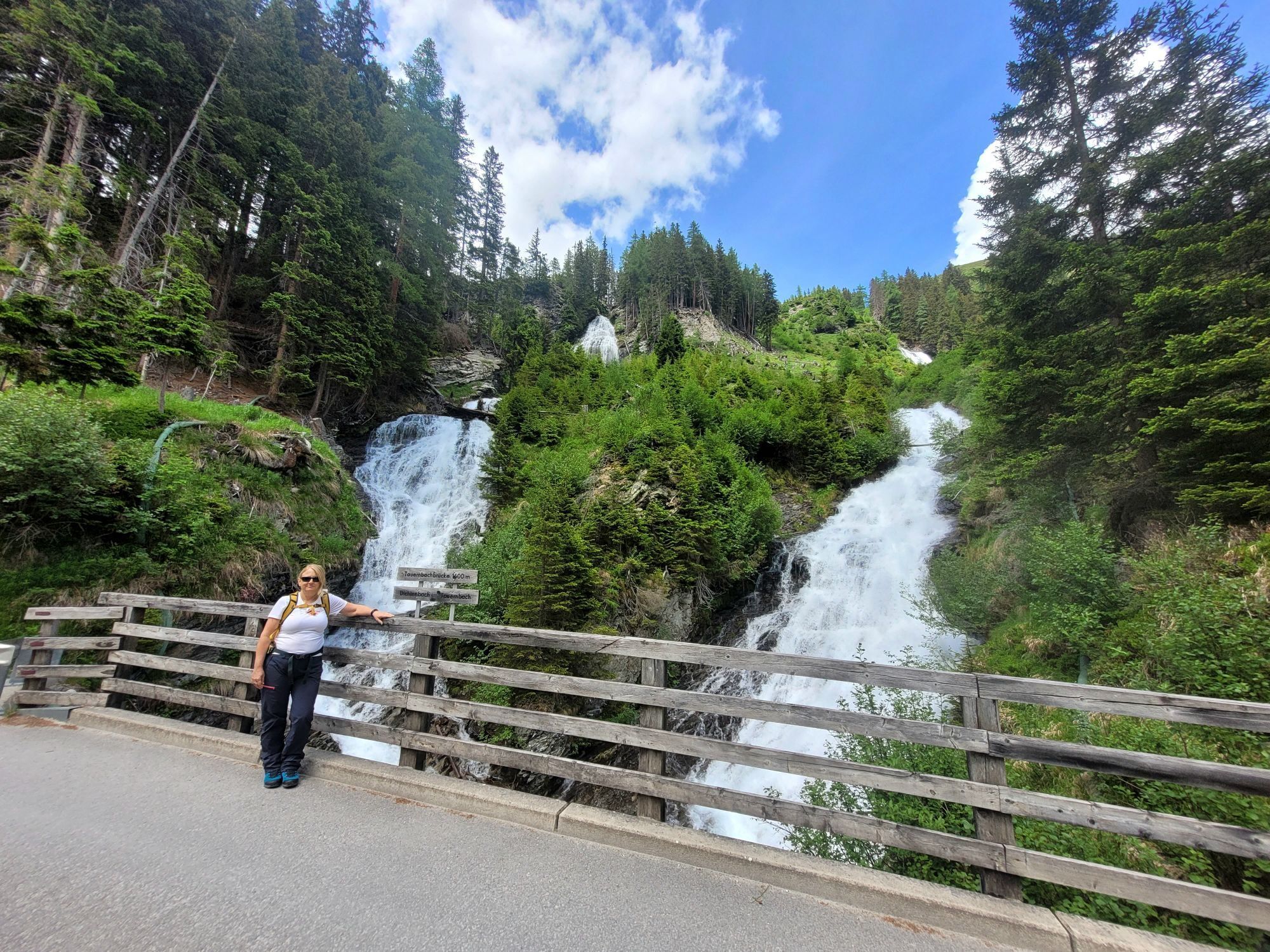
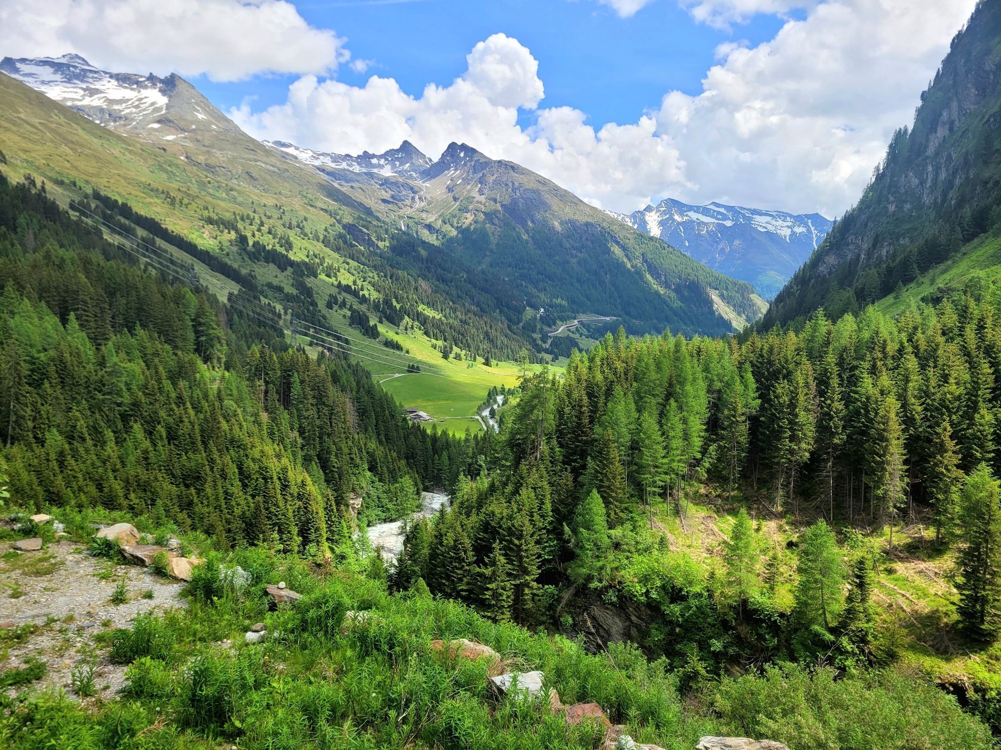
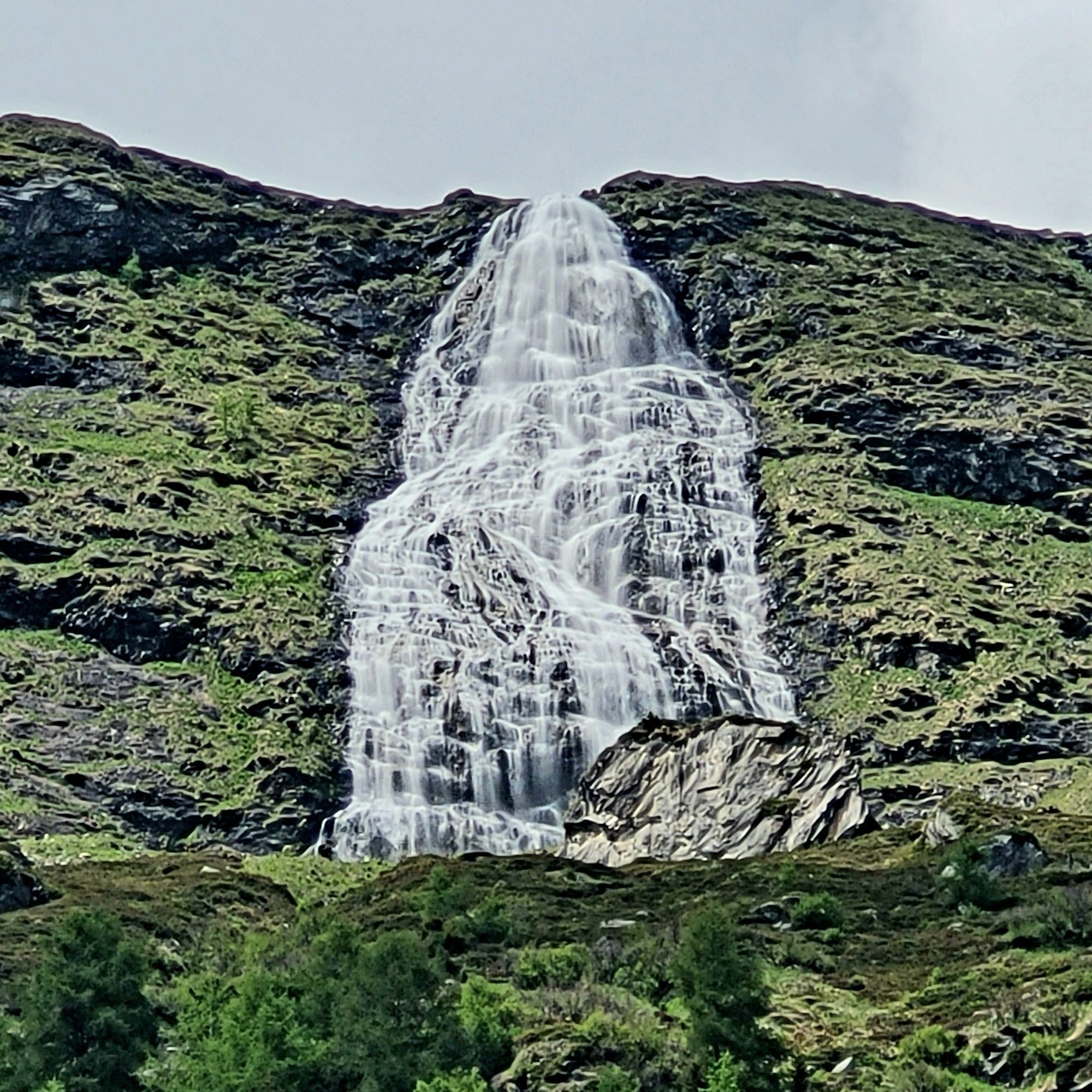
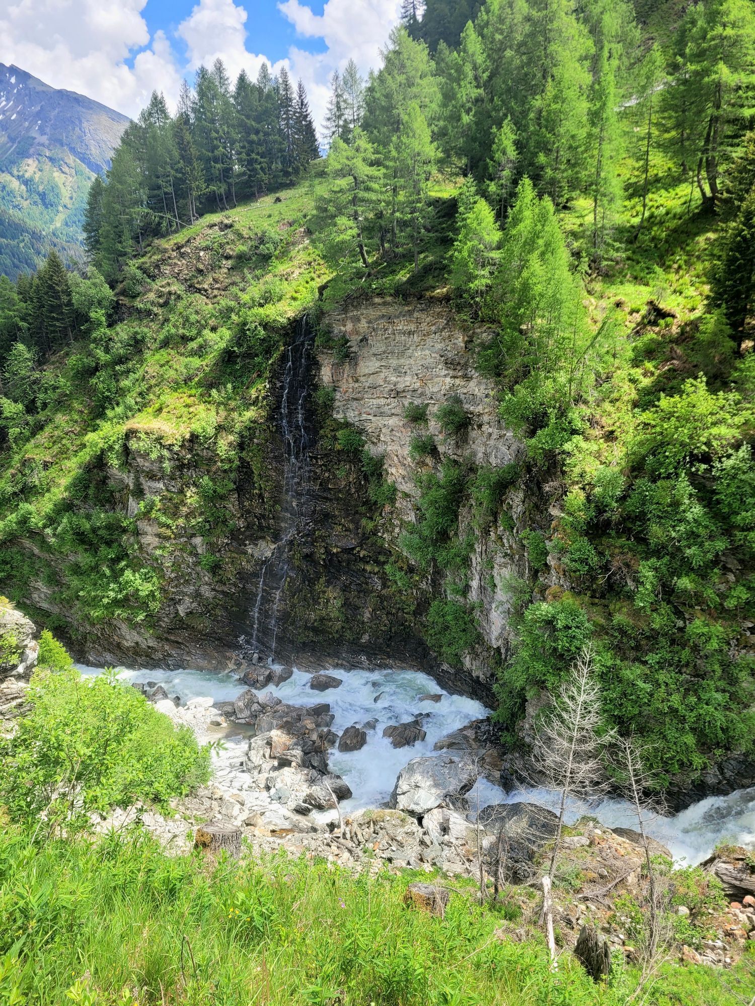
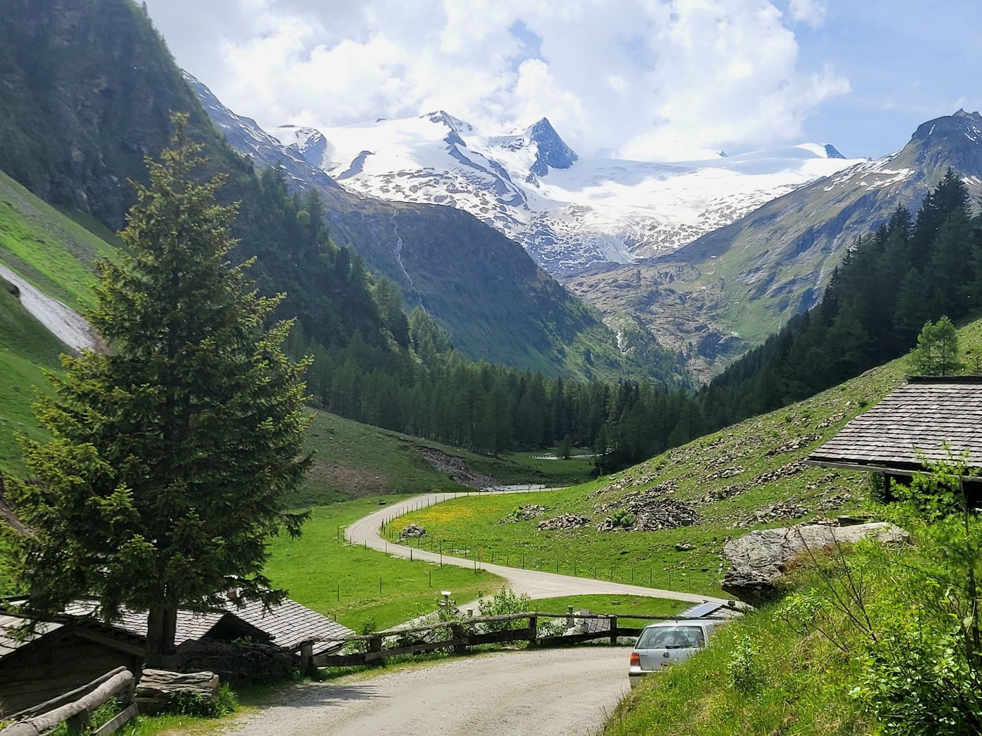
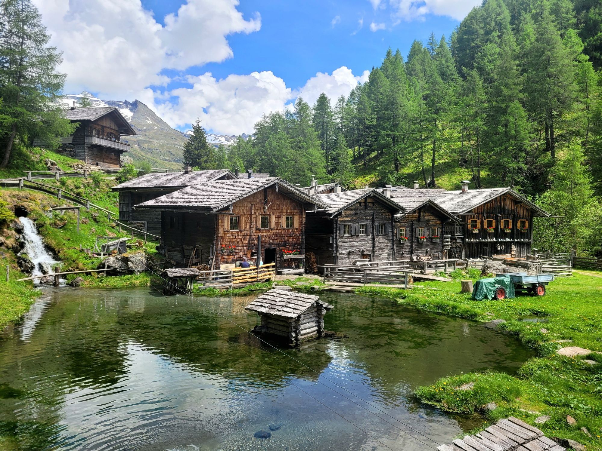
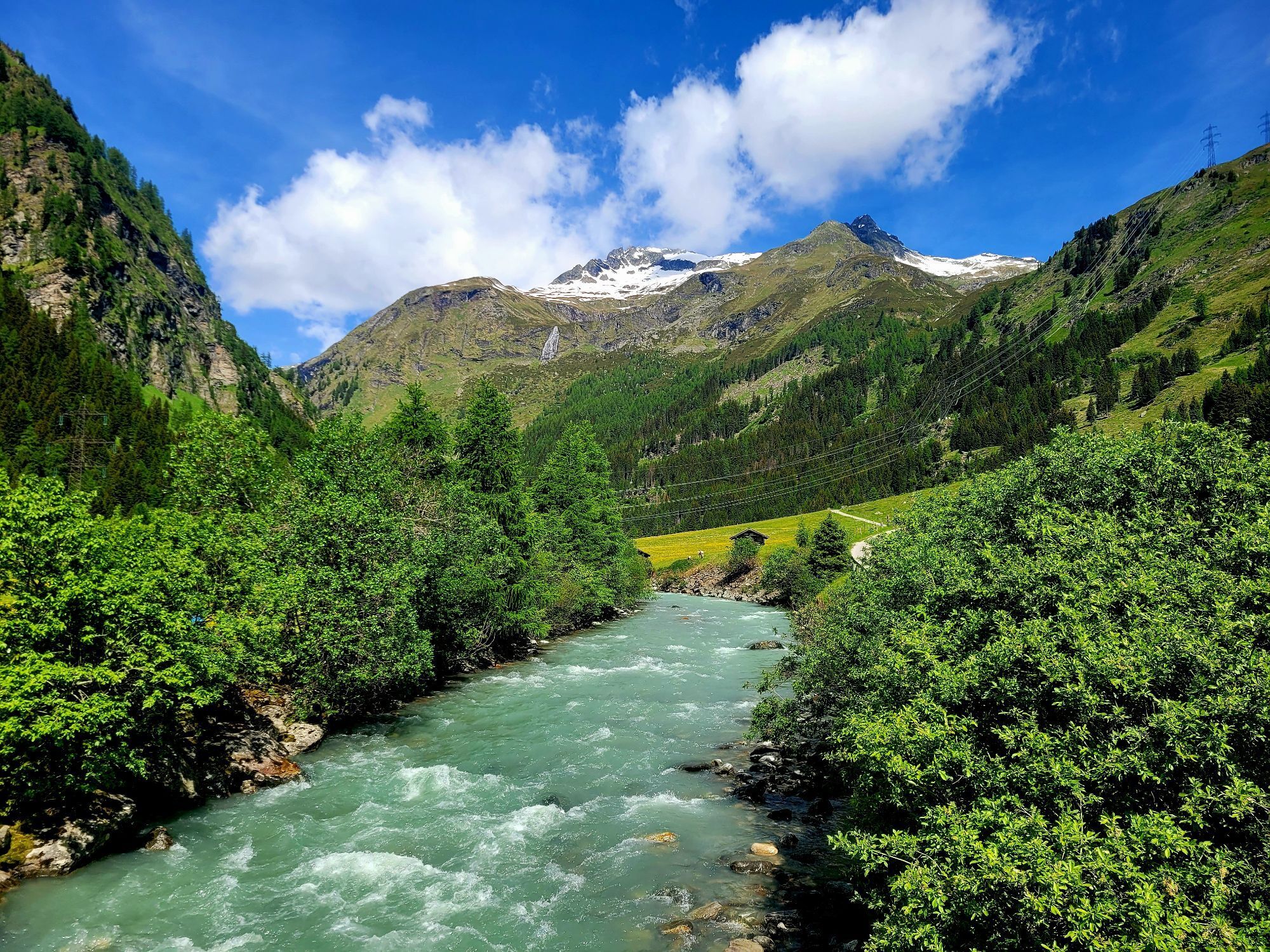
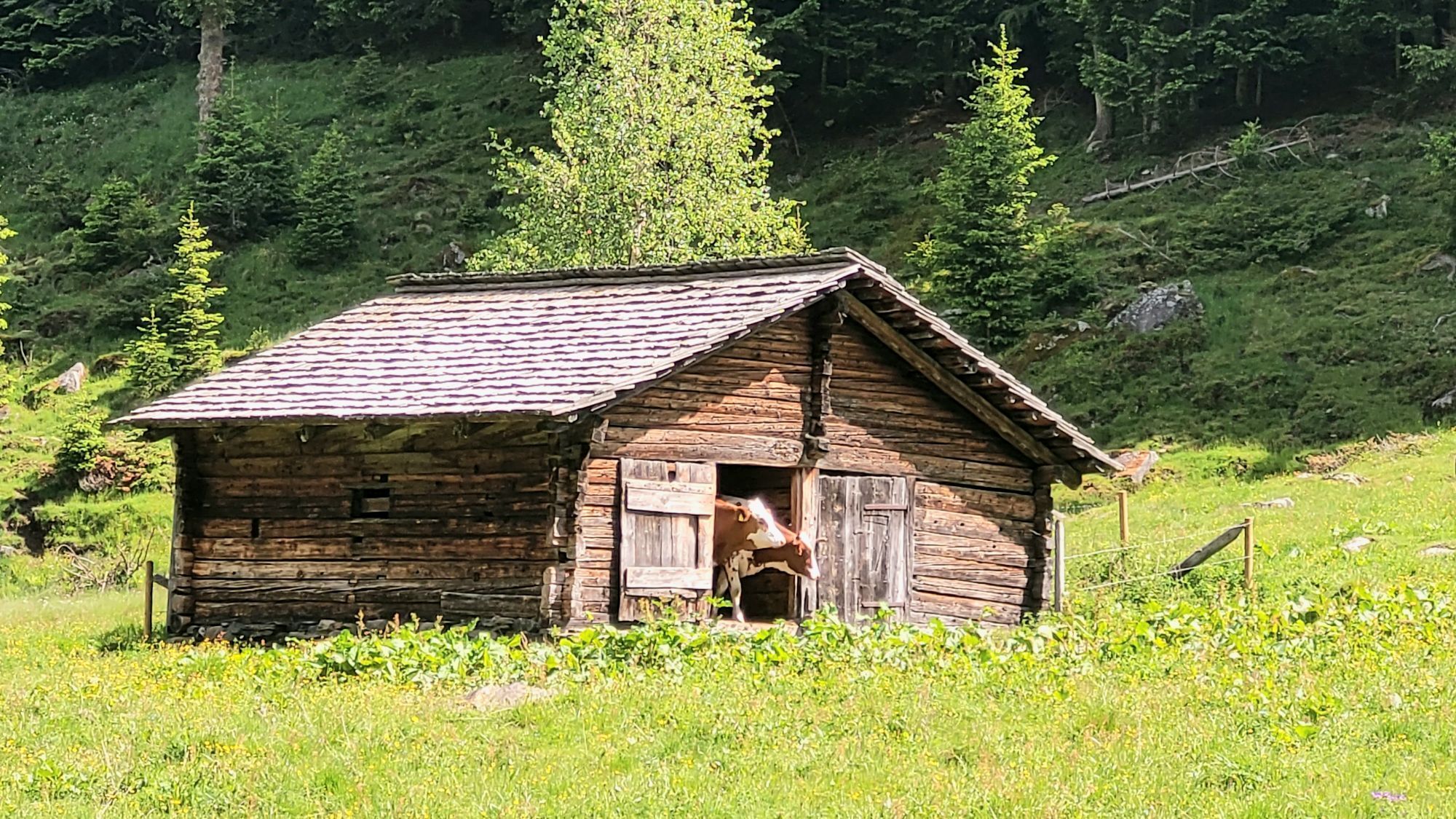
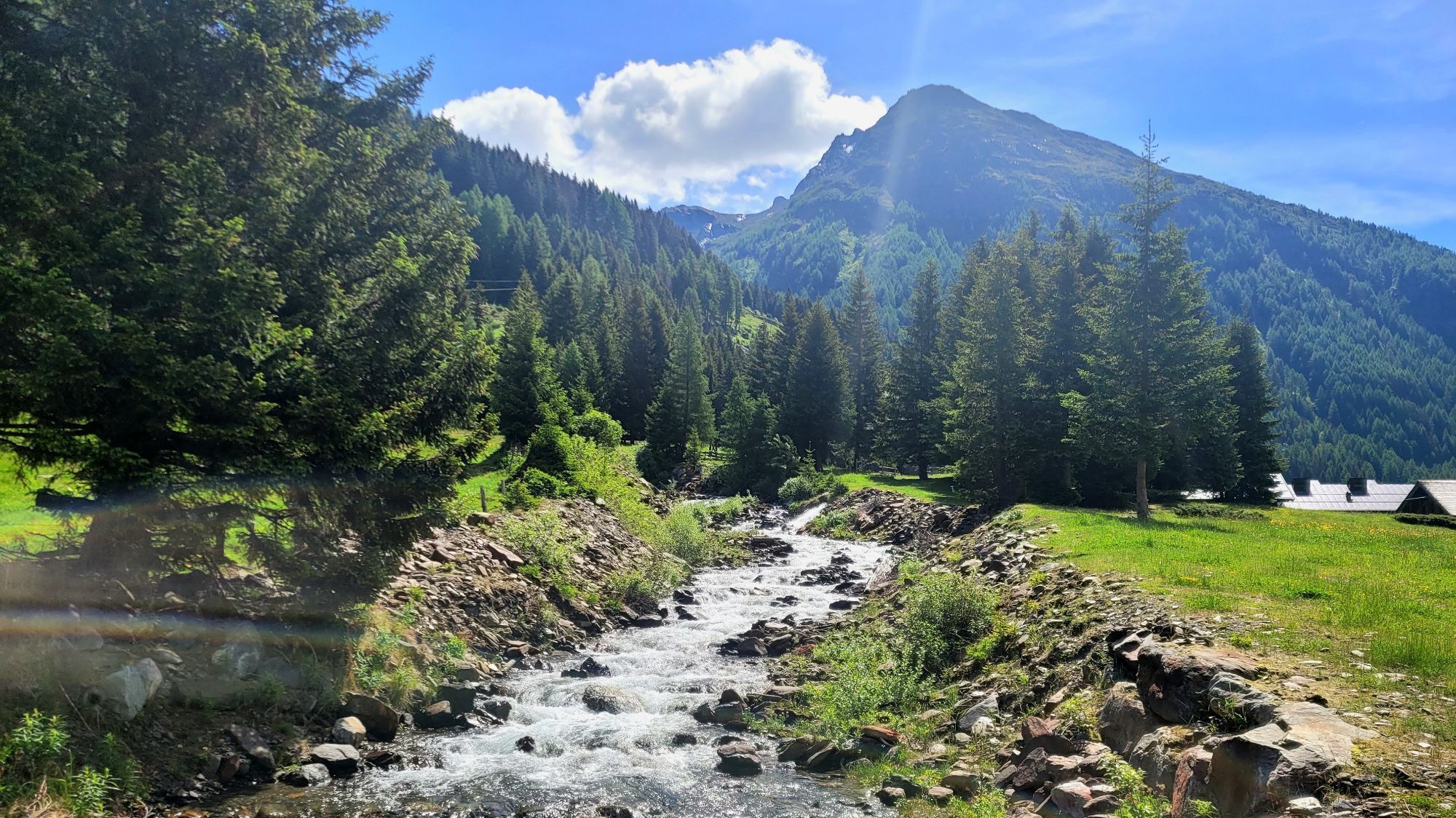
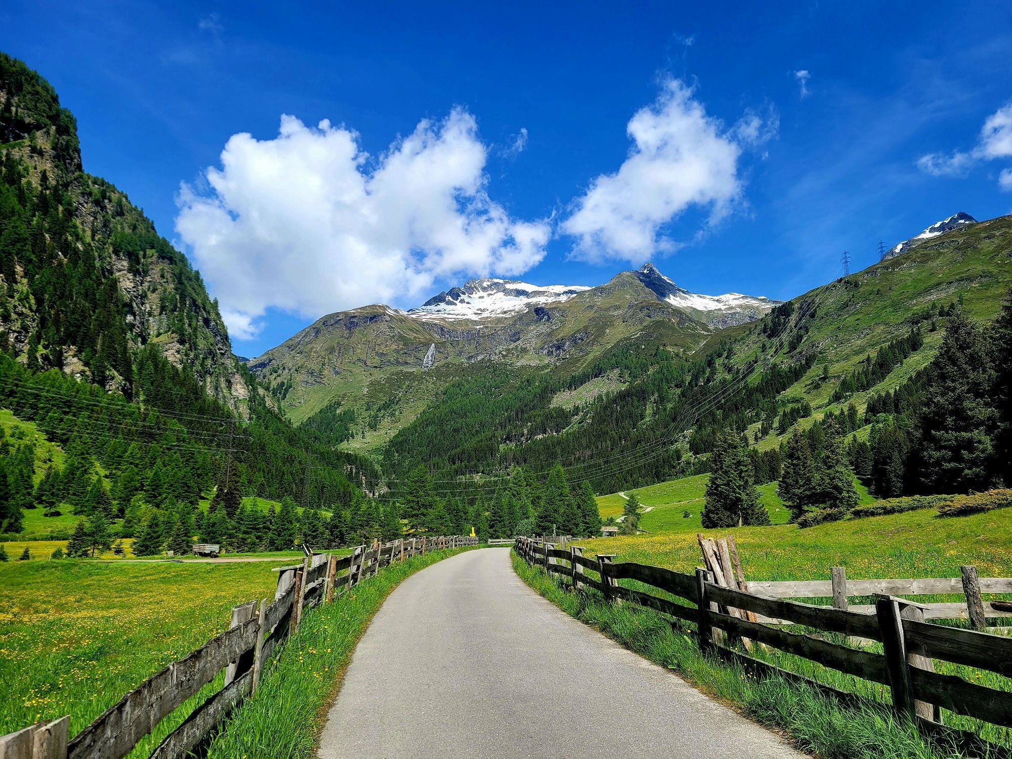
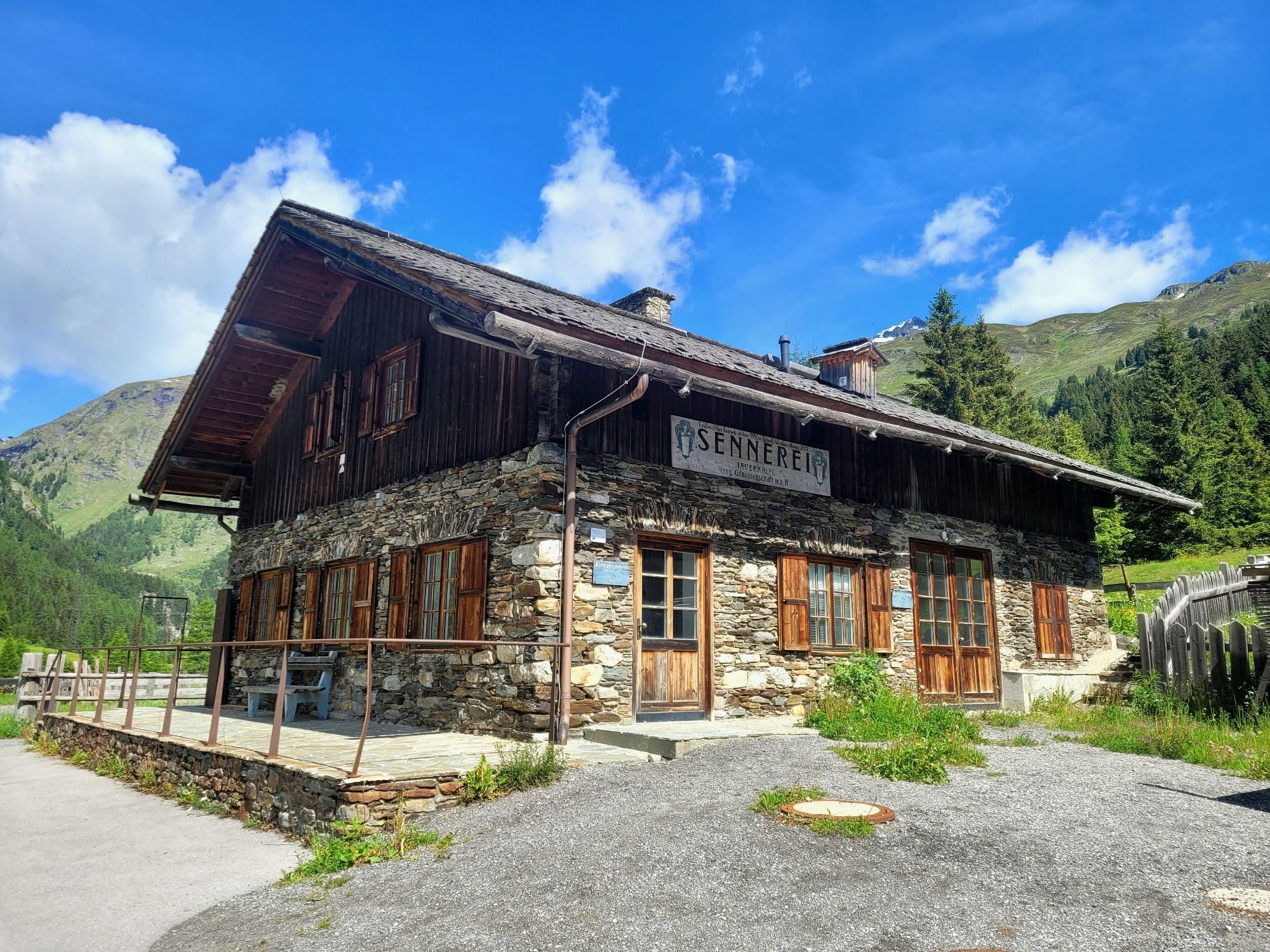
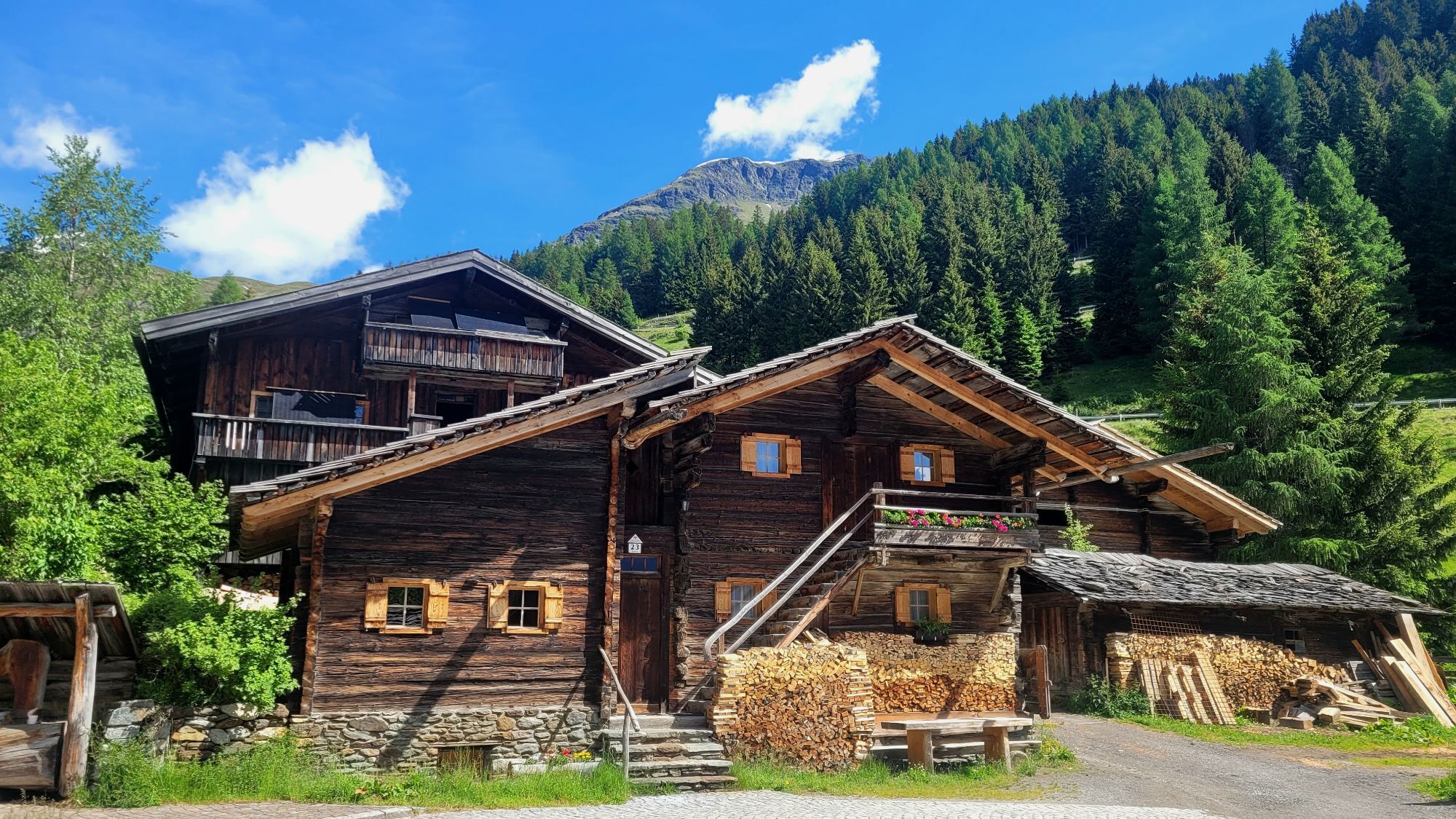
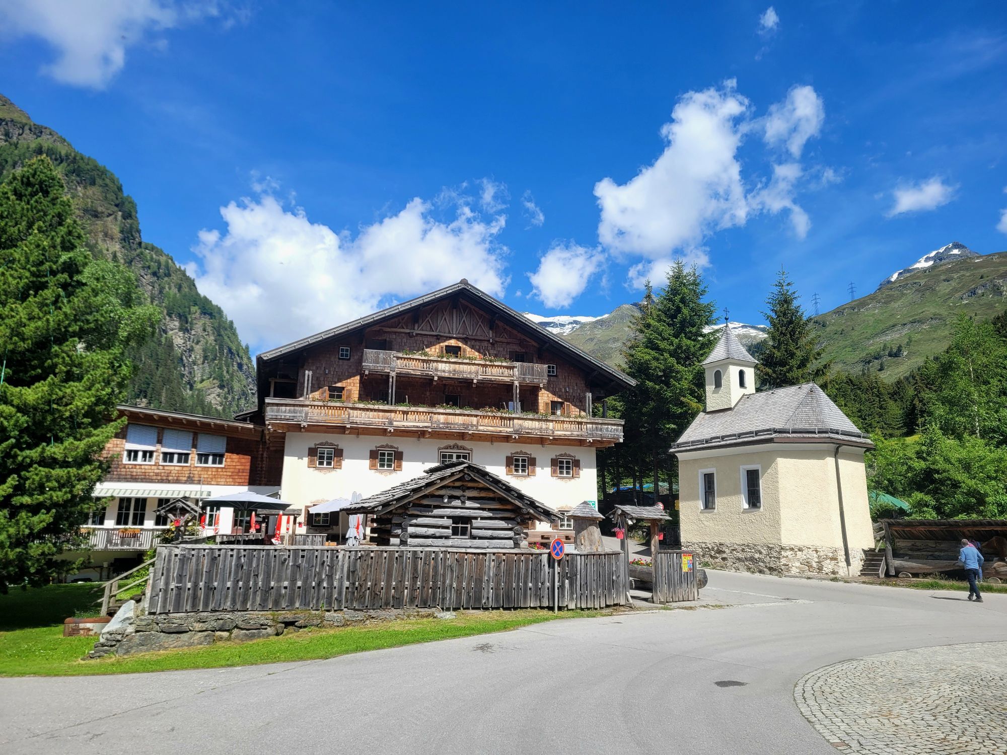
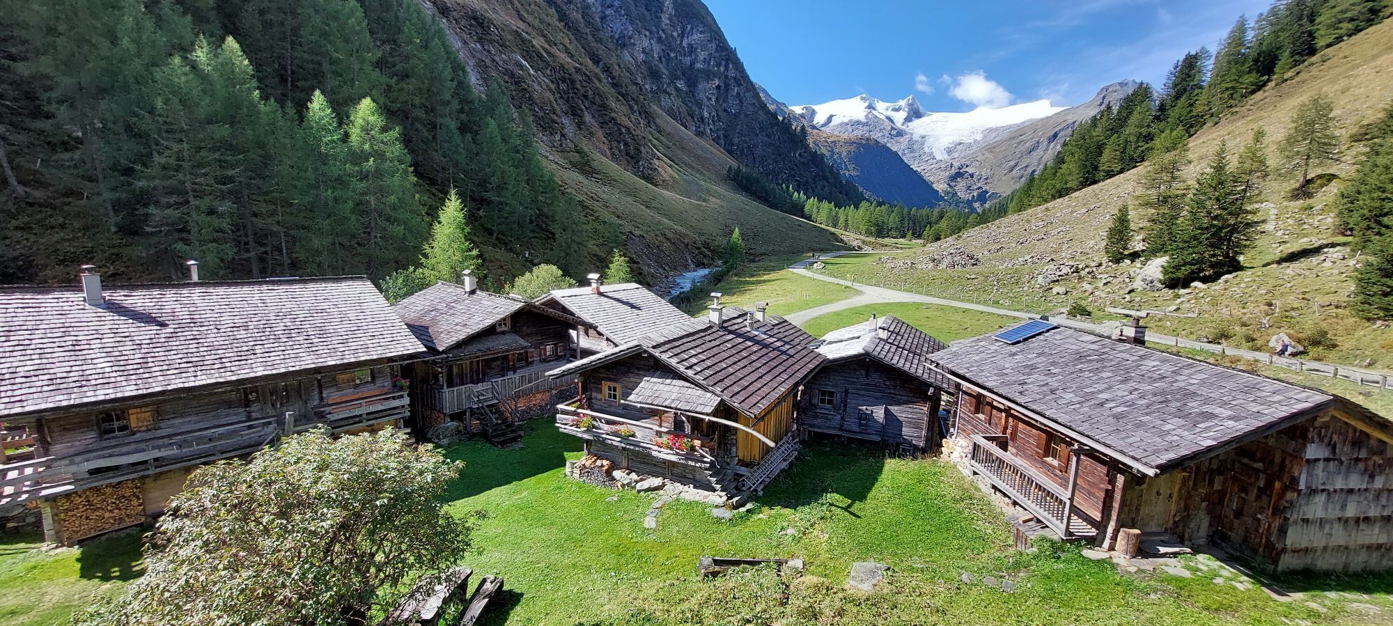
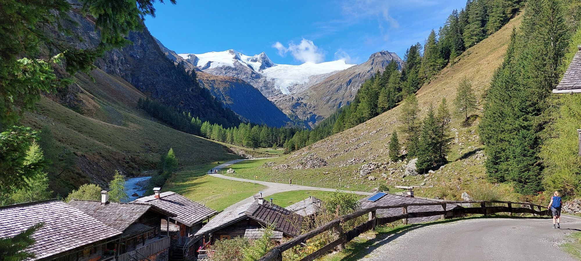
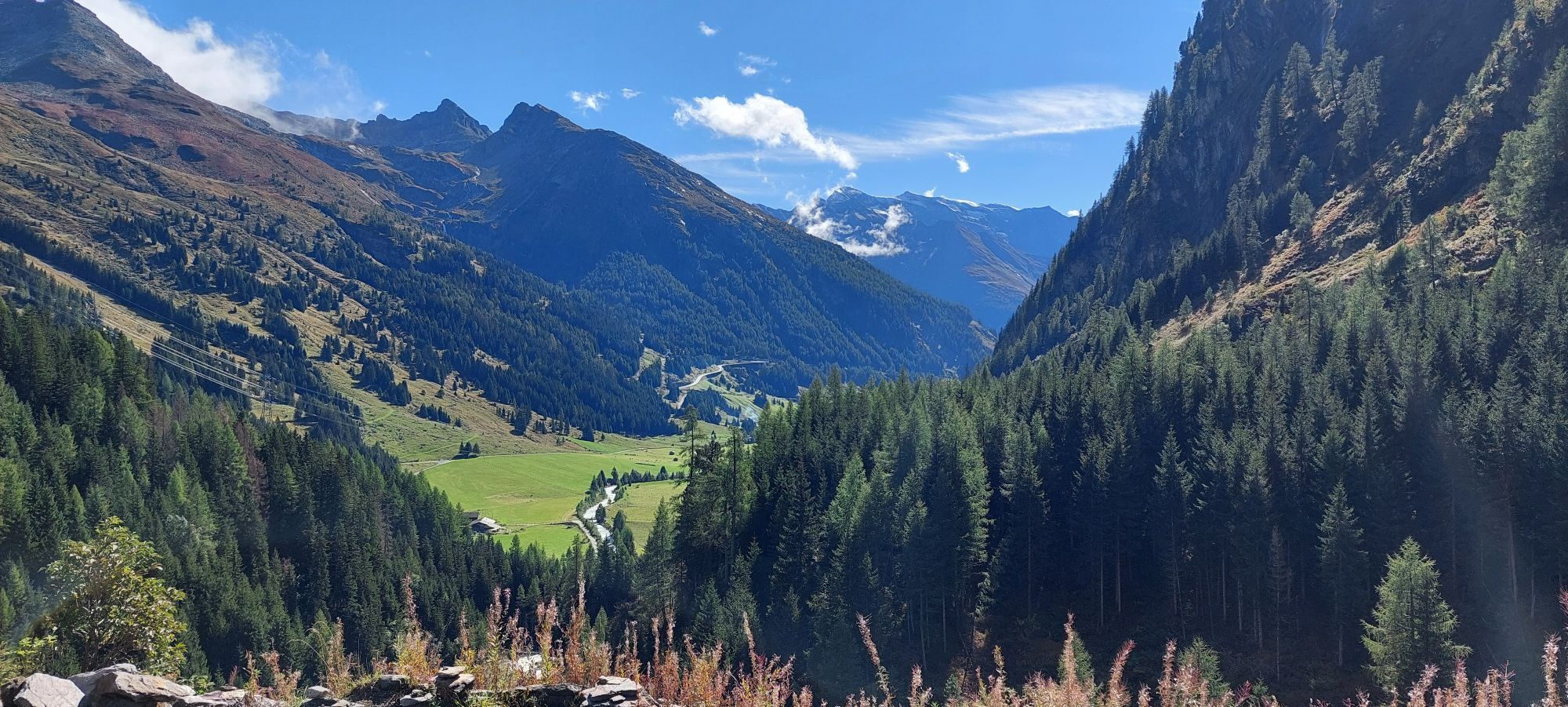
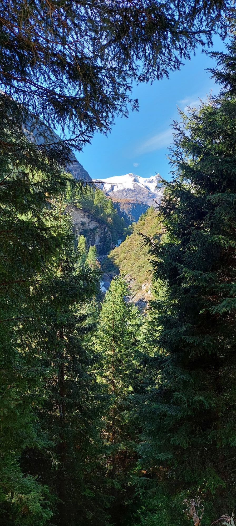
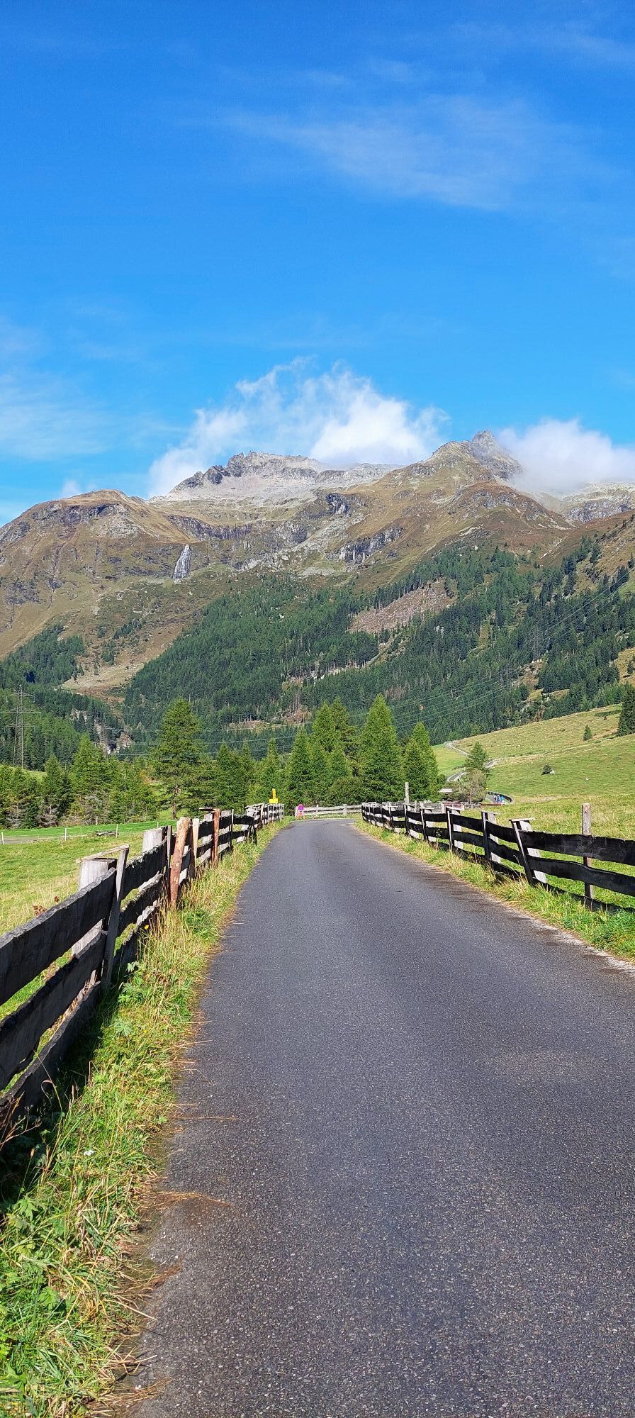
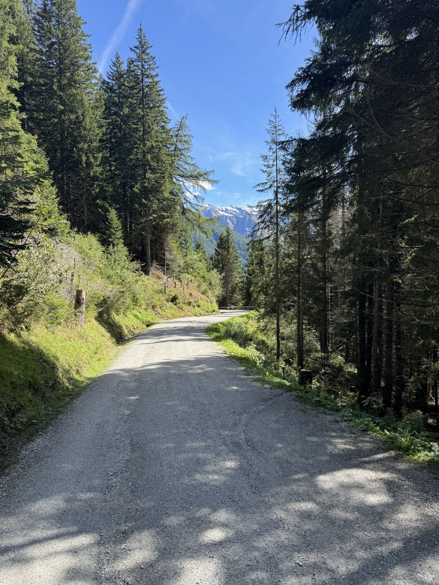
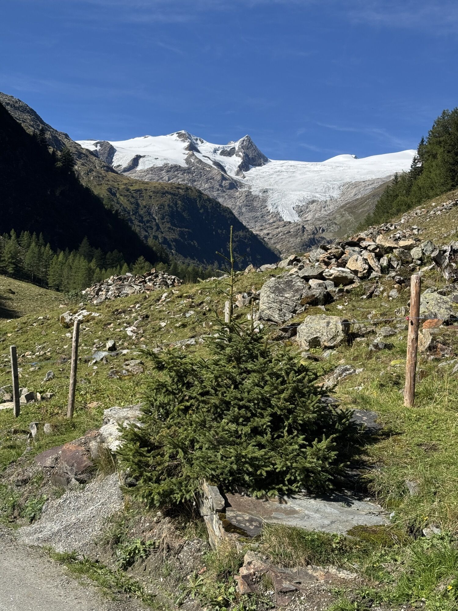
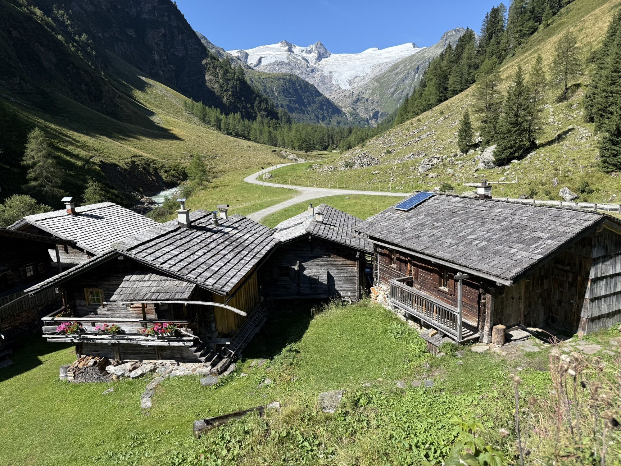
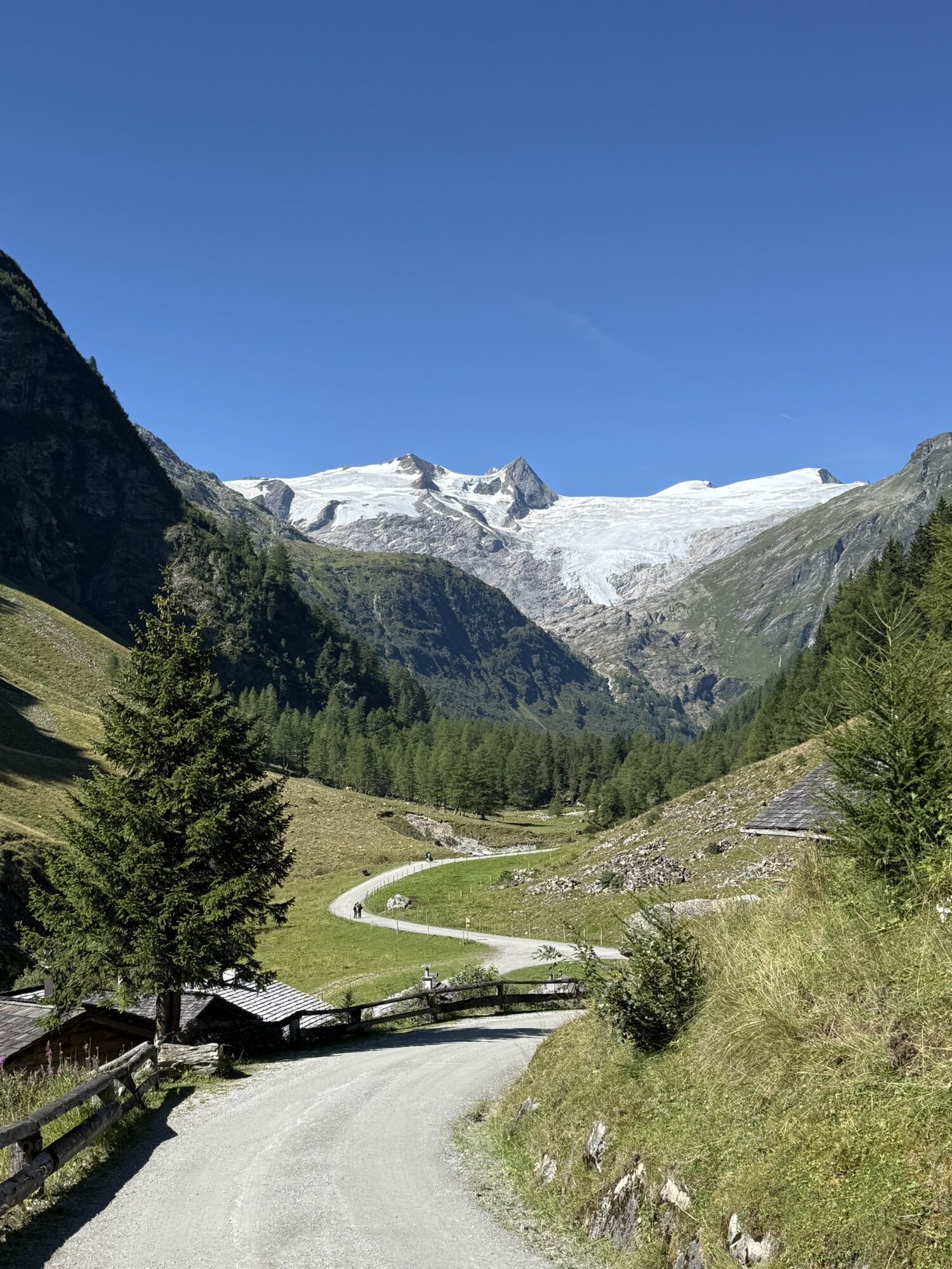
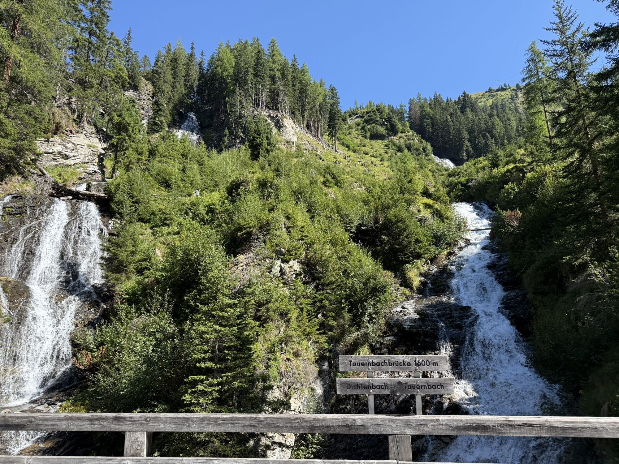
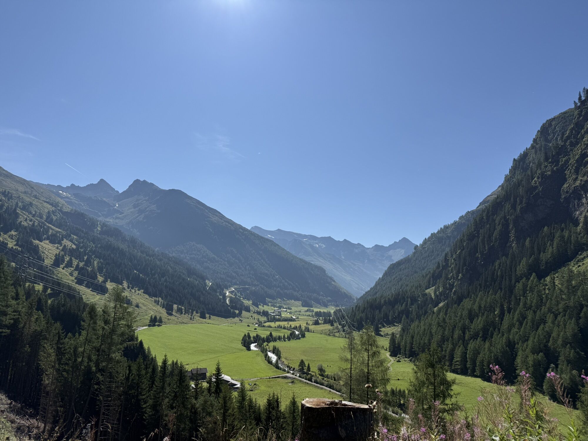
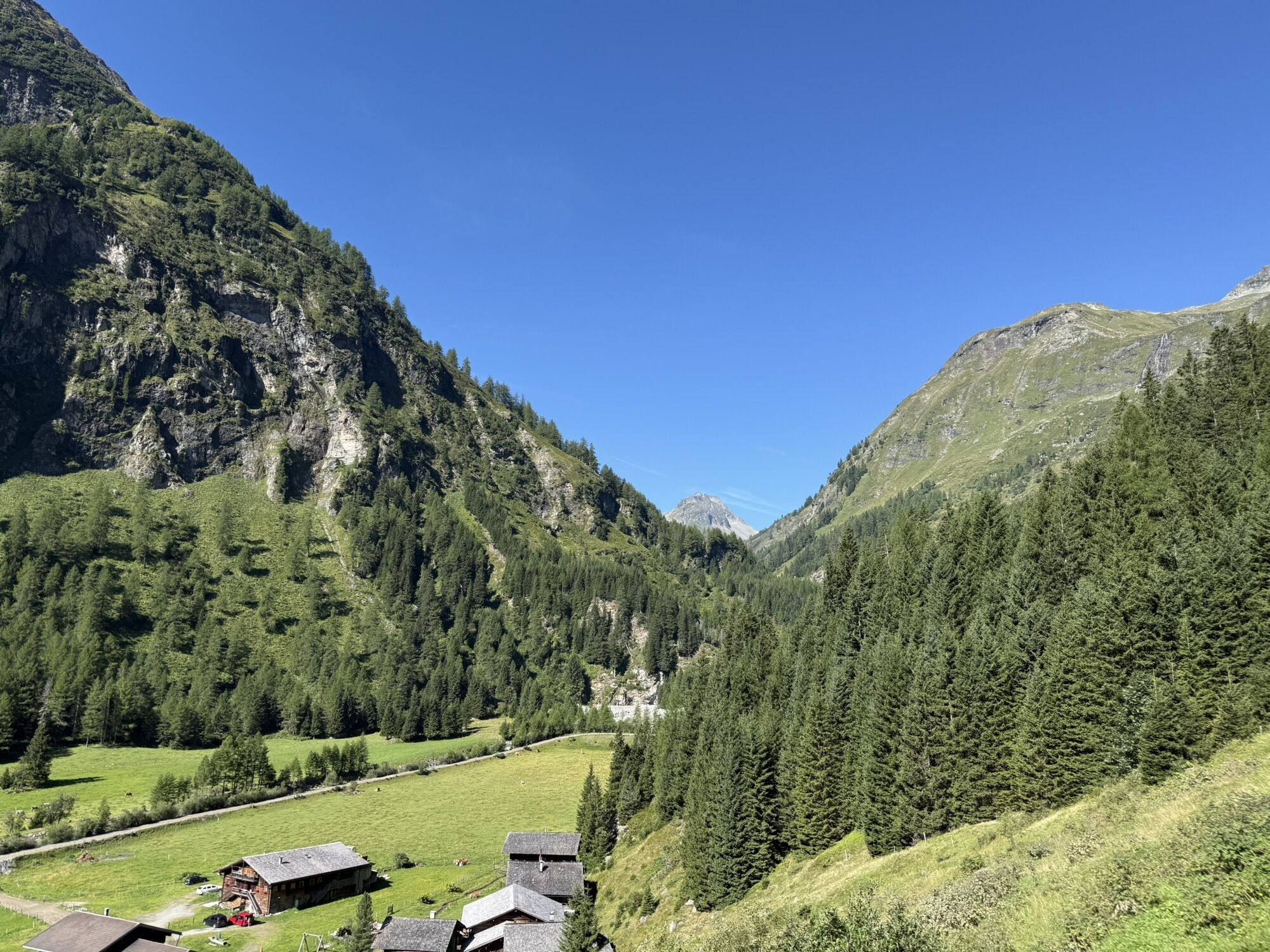
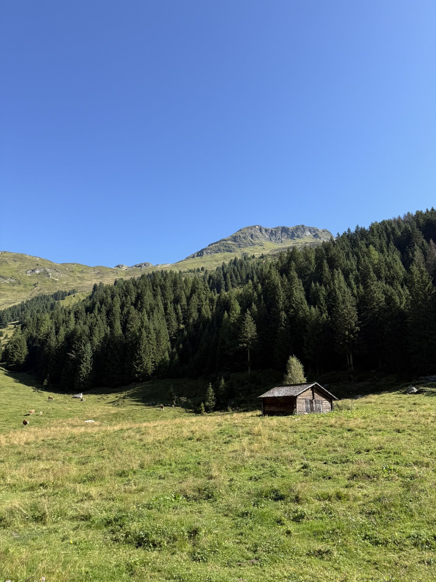
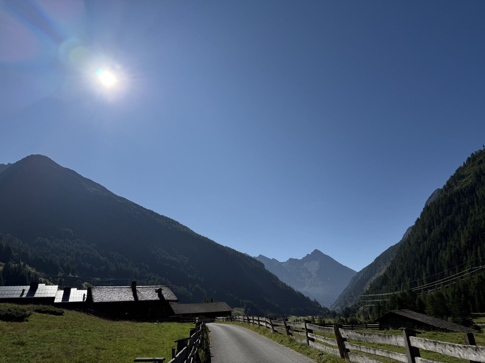
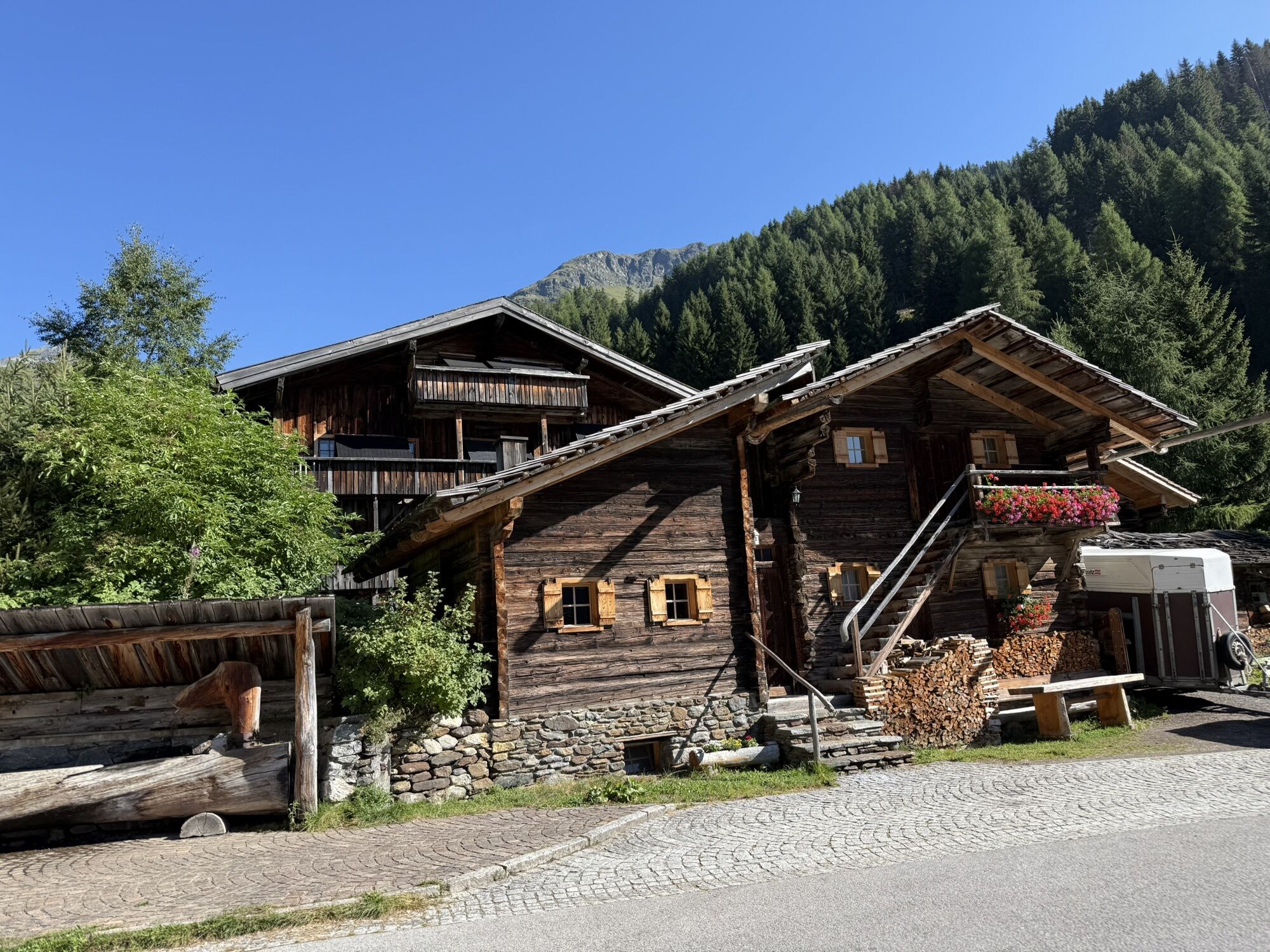
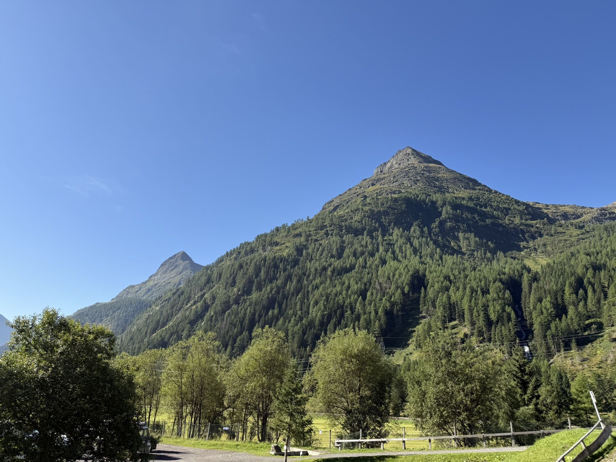
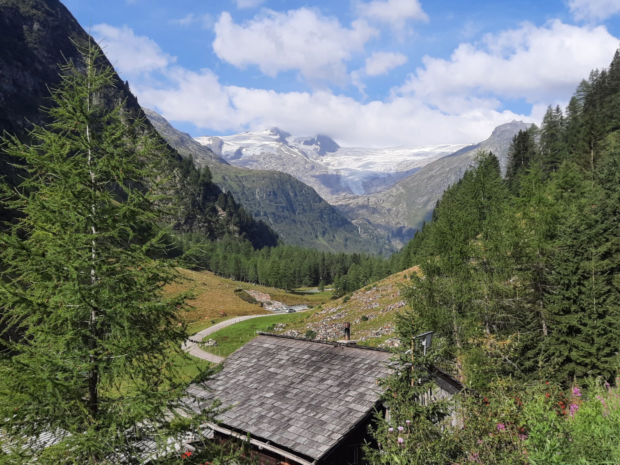
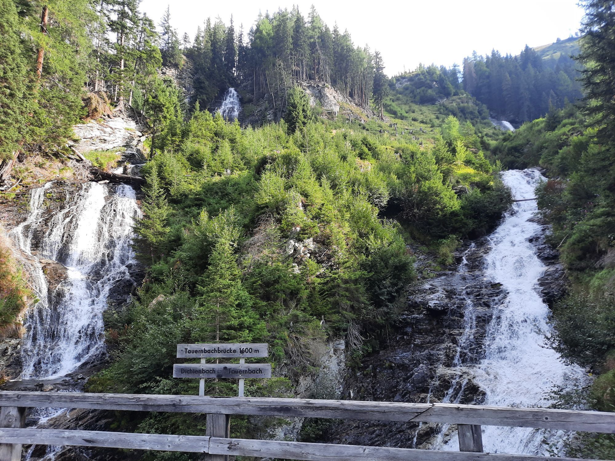
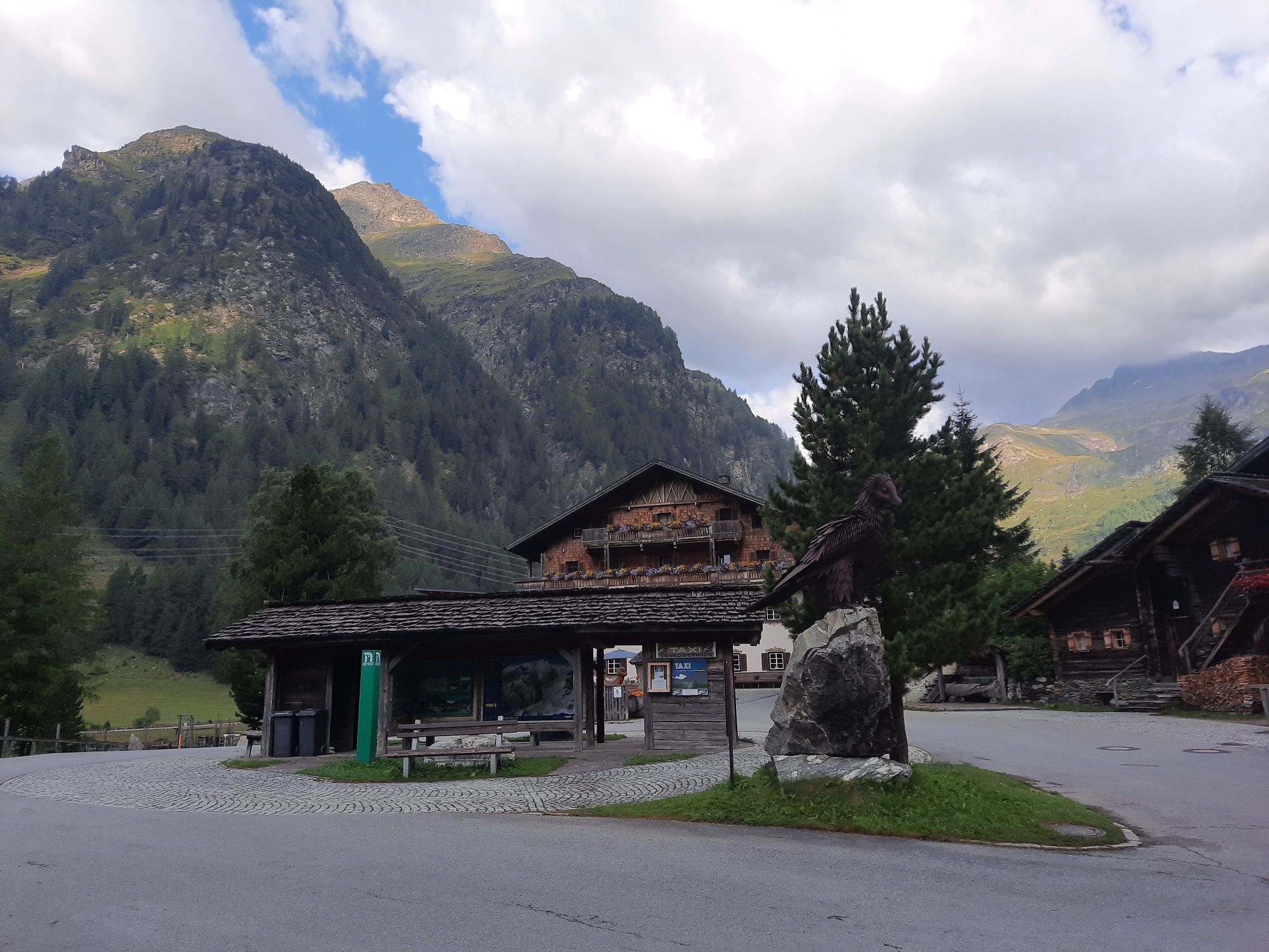

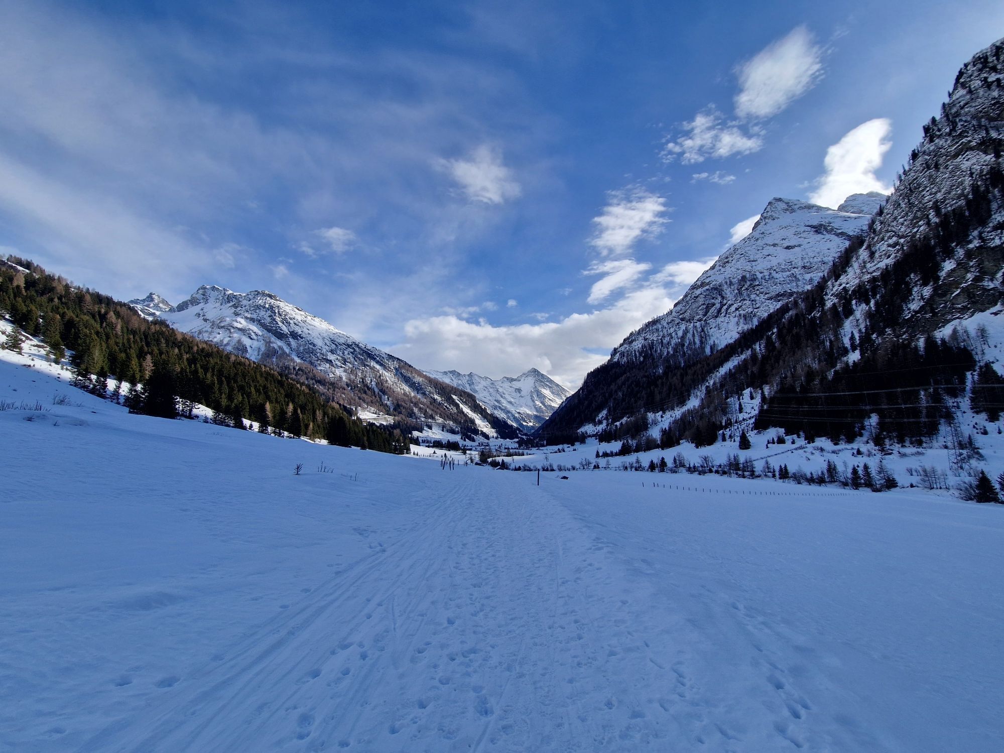

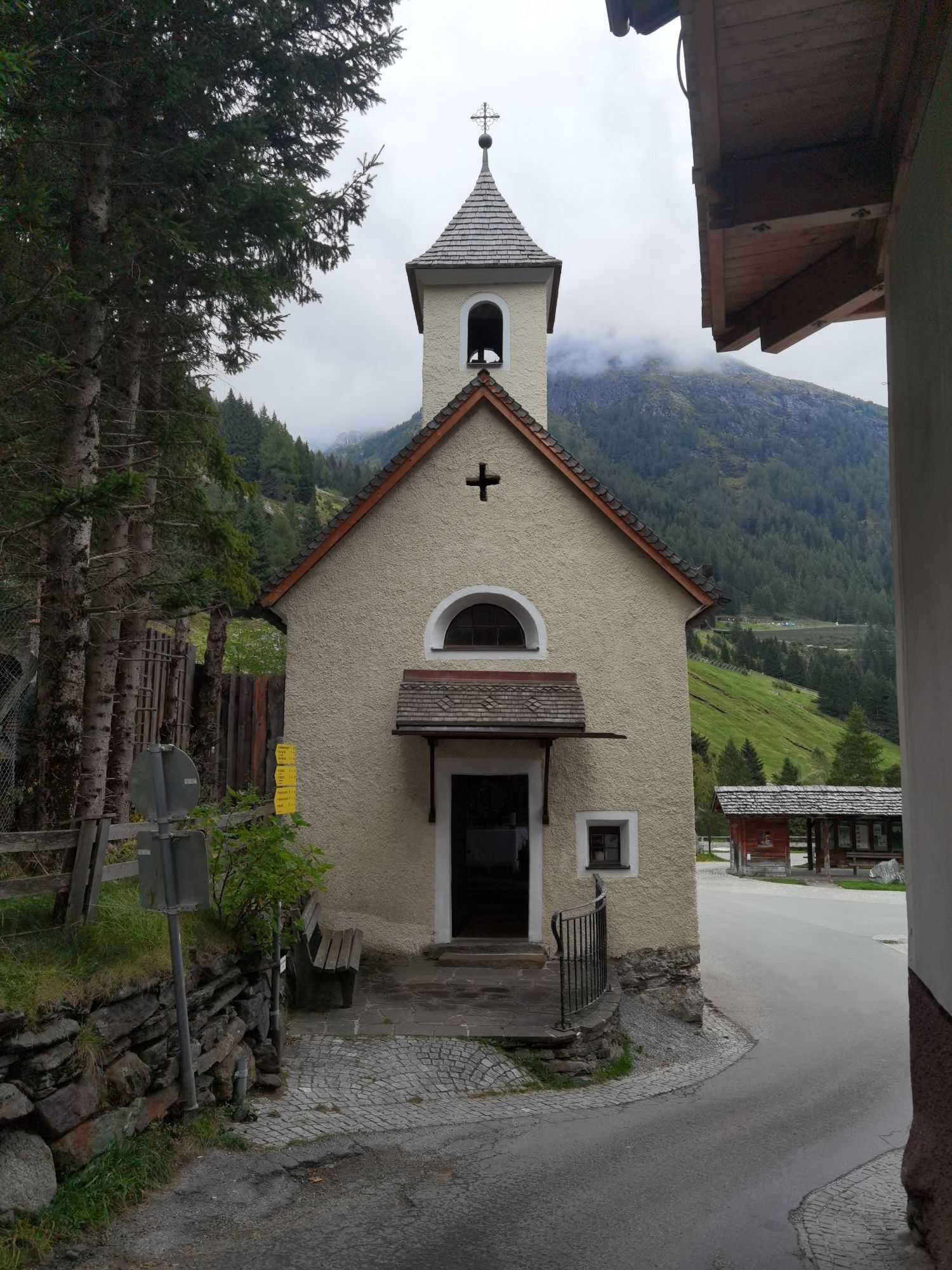

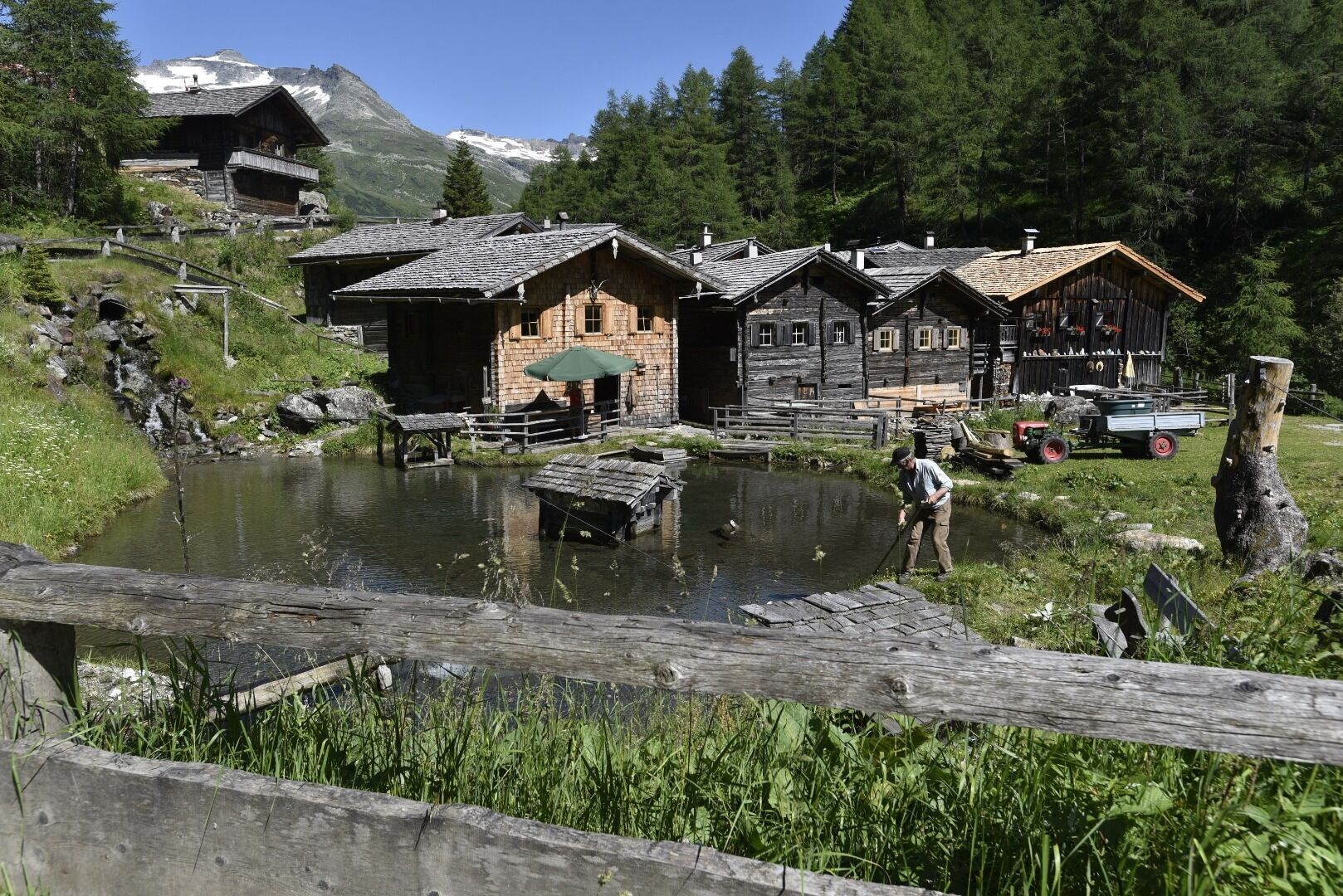
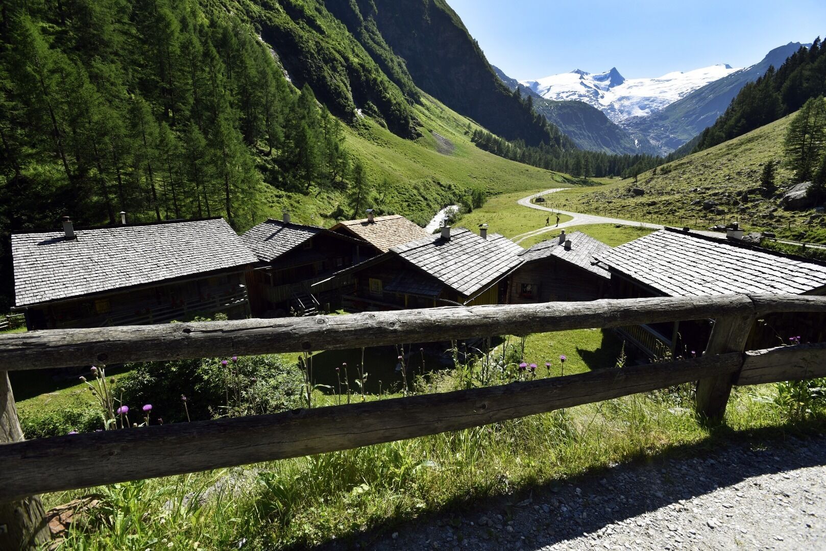
The moderate hike starts from the parking place Matreier Tauernhaus along a road through the forest. Shortly after leaving the forest, you can already see the Berghaus Außergschlöss.
Once you have reached...
Once you have reached your destination, you will be rewarded with a magnificent view of the Großvenediger.
From here, it’s about 40 minutes’ walk to Innergschlöß.


Basic equipment for mountain hiking includes sturdyâ¯hikingâ¯boots with a good tread, a 30-35 liter backpack, and functional clothing based on the layering principle, including sufficient spare clothes. Essential items are rain, cold, and sun protection, adequate fluids and food, as well as a first-aid kit and a charged mobile phone. A map or a GPS device supports orientation.
The information serves as a guideline and does not claim to be exhaustive. Equipment must always be adapted to theâ¯planned route, weather conditions, season, natural hazards, environmental influences, and personal needs.
From Matrei in Osttirol take the street Felbertauernstraße. Follow the road for 16 km and turn left 2 km before the south portal of the tunnel Felbertauerntunnel towards the Matreier Tauernhaus.
Bus stop Matreier Tauernhaus
Car park Matreier Tauernhaus


Oblíbené prohlídky v okolí
-
4.2
Gletscherlehrweg Innergschlöß
středníTuristika 9.36 km -
4.8
Circular hike suspension bridge Isel Canyon via "Hohe Bank"
středníTuristika 8.11 km -
3.7
Smaragdwanderweg Habachtal/Bramberg
světloTuristika 7.17 km -
4.5
Circular hike Proßeggklamm
středníTuristika 8.41 km -
3.9
Mittersill - Hintersee und Plattachsee
heavyTuristika 9.90 km -
4.7
Hollersbach - Neue Fürther Hütte
Turistika 16.0 km -
4.7
Vom Matreier Tauernhaus über die Felsenkapelle nach Innergschlöss
světloTuristika 9.19 km -
4.6
Runde um den Weißsee - Gletscherlehrpfad Uttendorf, Österreich
středníTuristika 6.48 km -
4.2
Habachtal bis zur Thüringer Hütte
Turistika 6.53 km -
4.4
Mittersill: Amertaler See route no. 521
středníTuristika 6.80 km
Pěší turistika a stopování


Nenechte si ujít nabídky a inspiraci pro vaši příští dovolenou
Vaše e-mailová adresa byl přidán do poštovního seznamu.


