






Alpine pilgrim trail "Hoch und Heilig" - Stage 1: Lavant - St. Korbinian
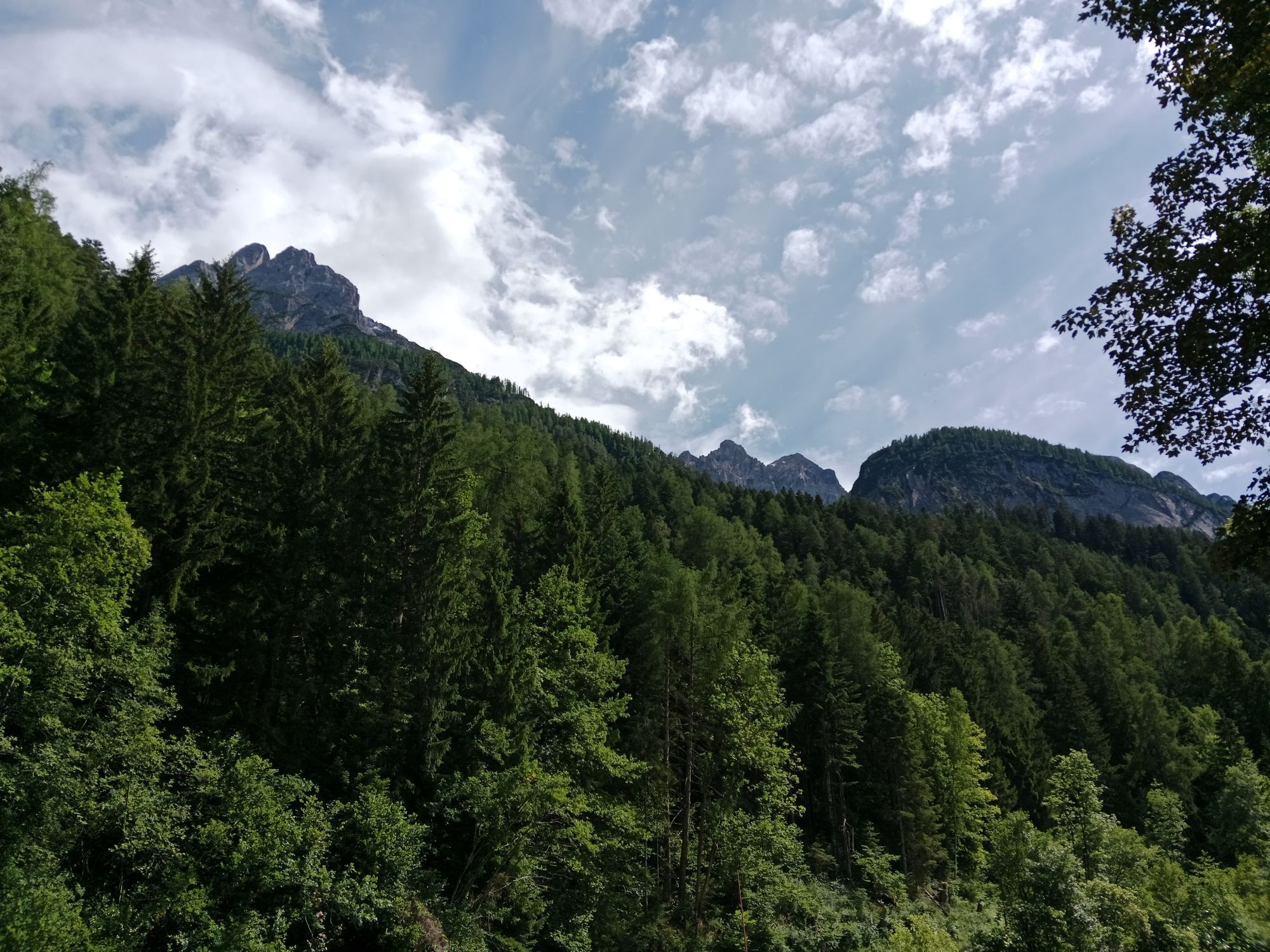
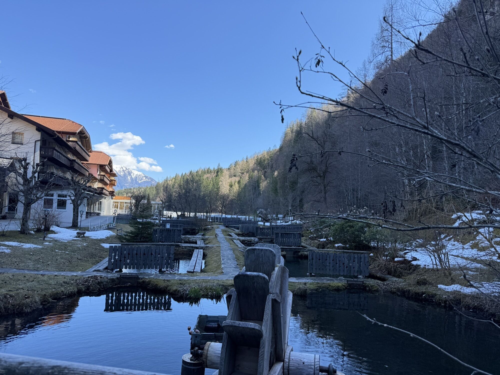
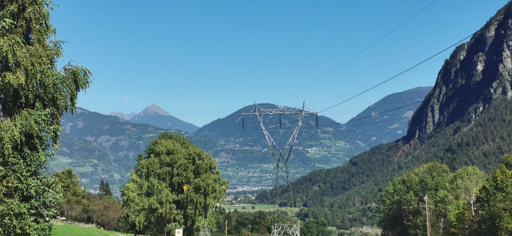
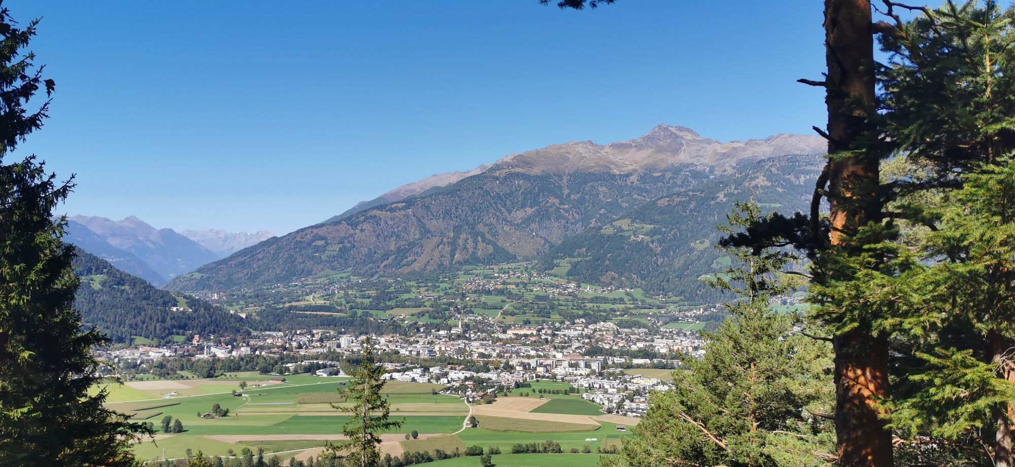


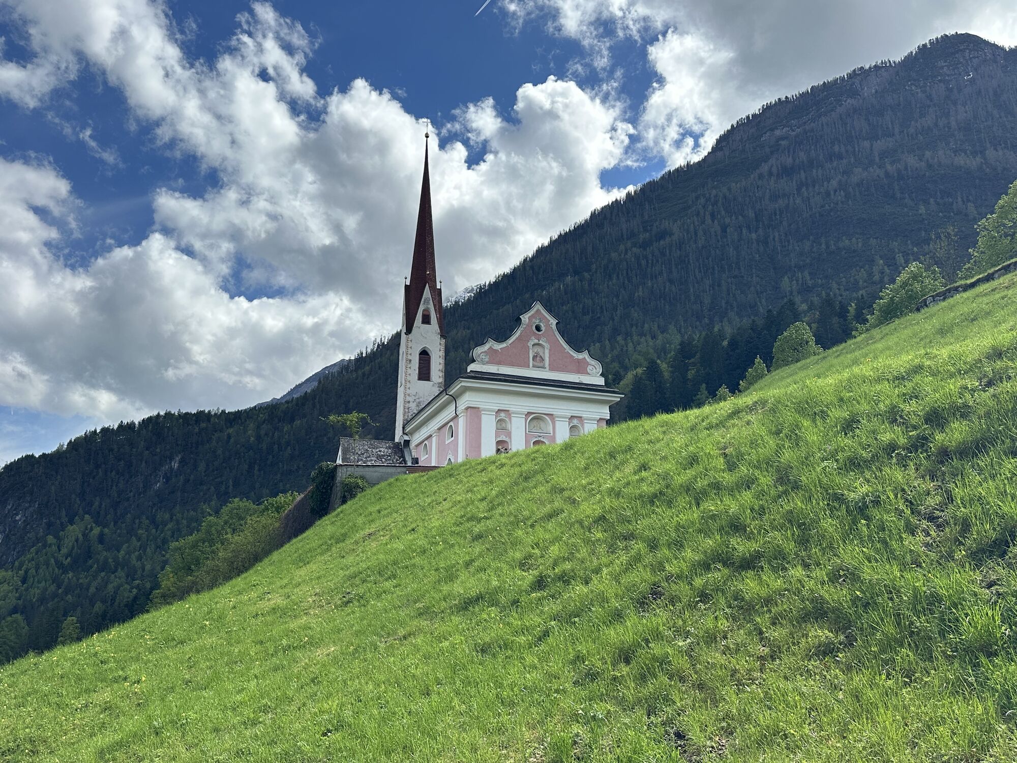
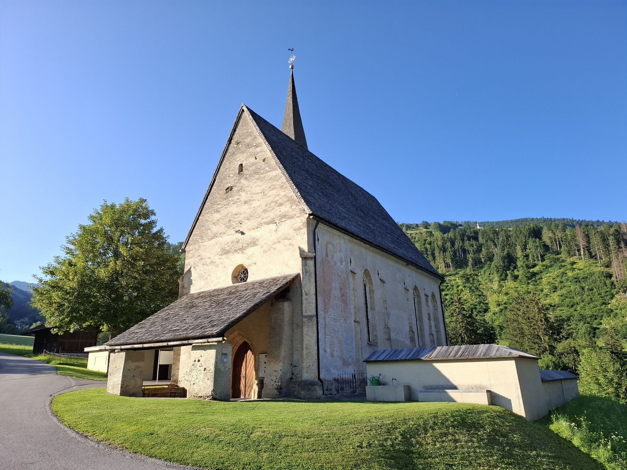
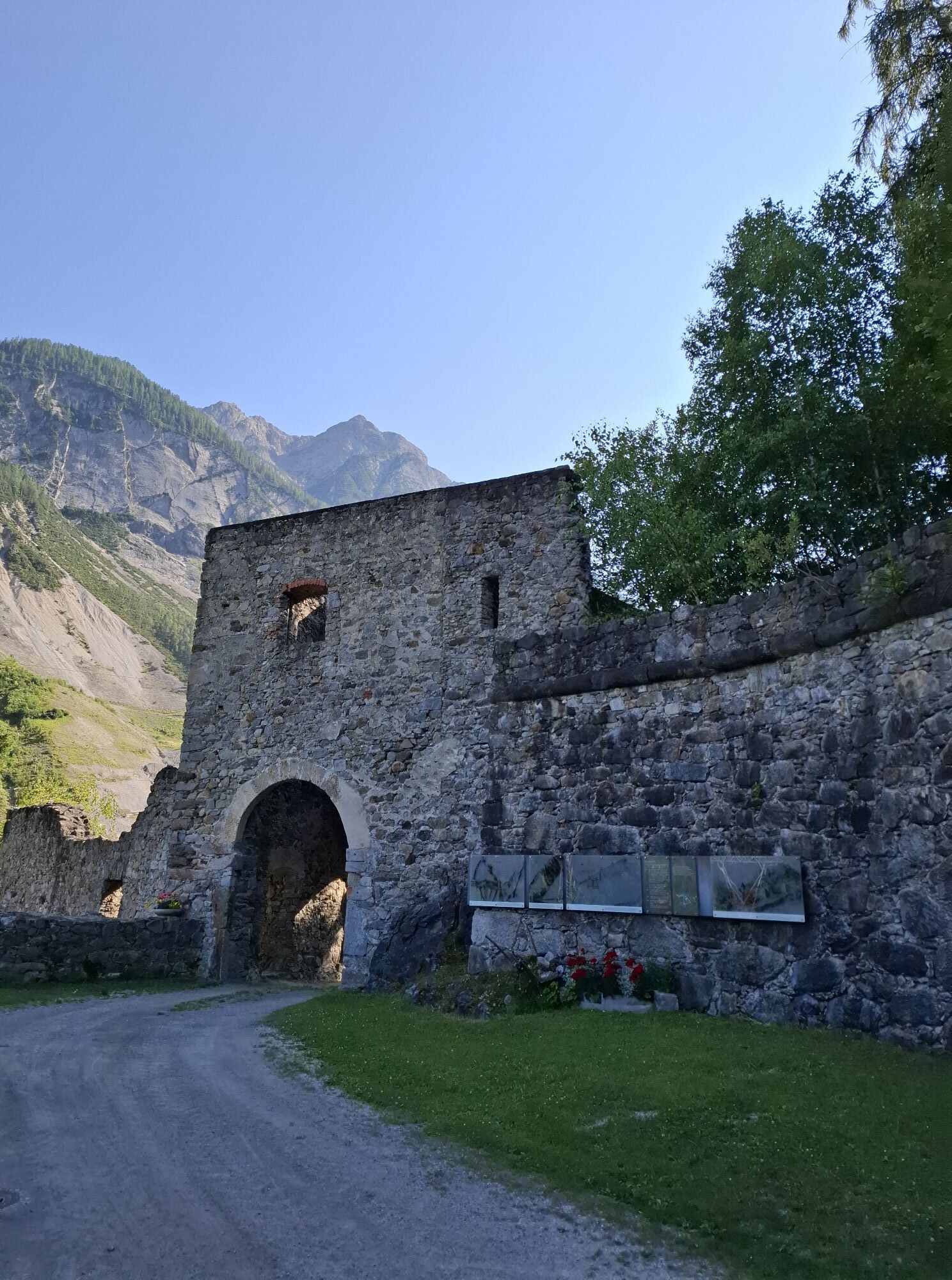
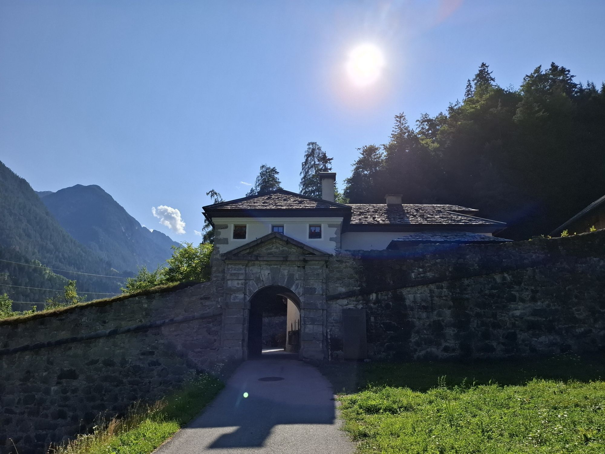
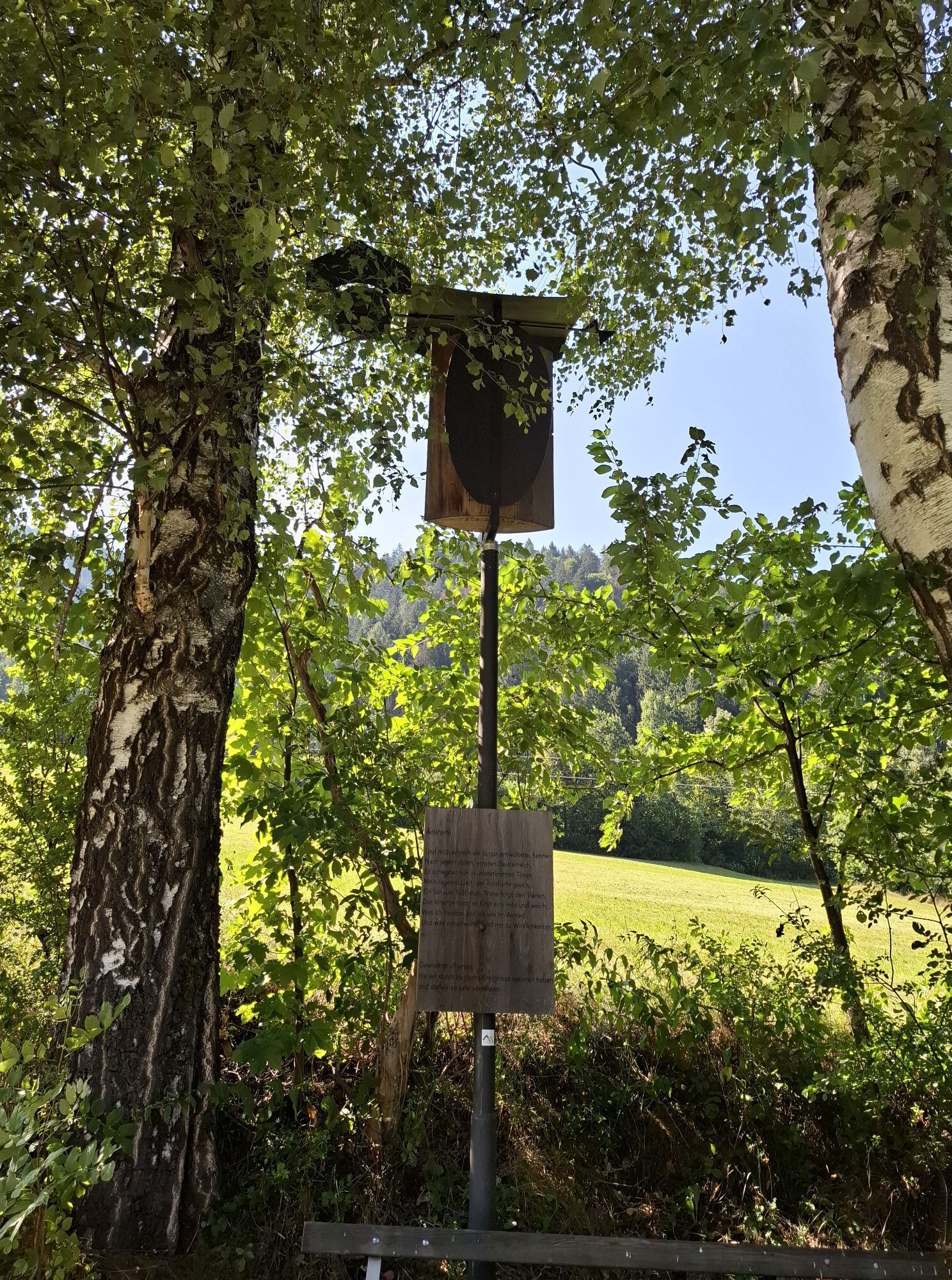
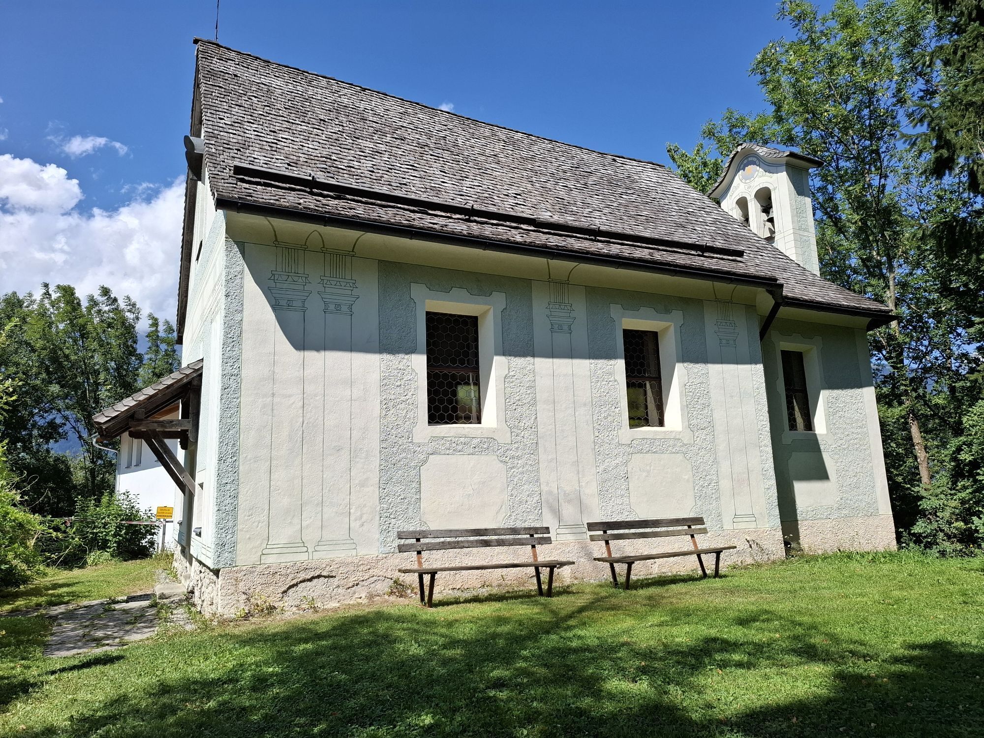

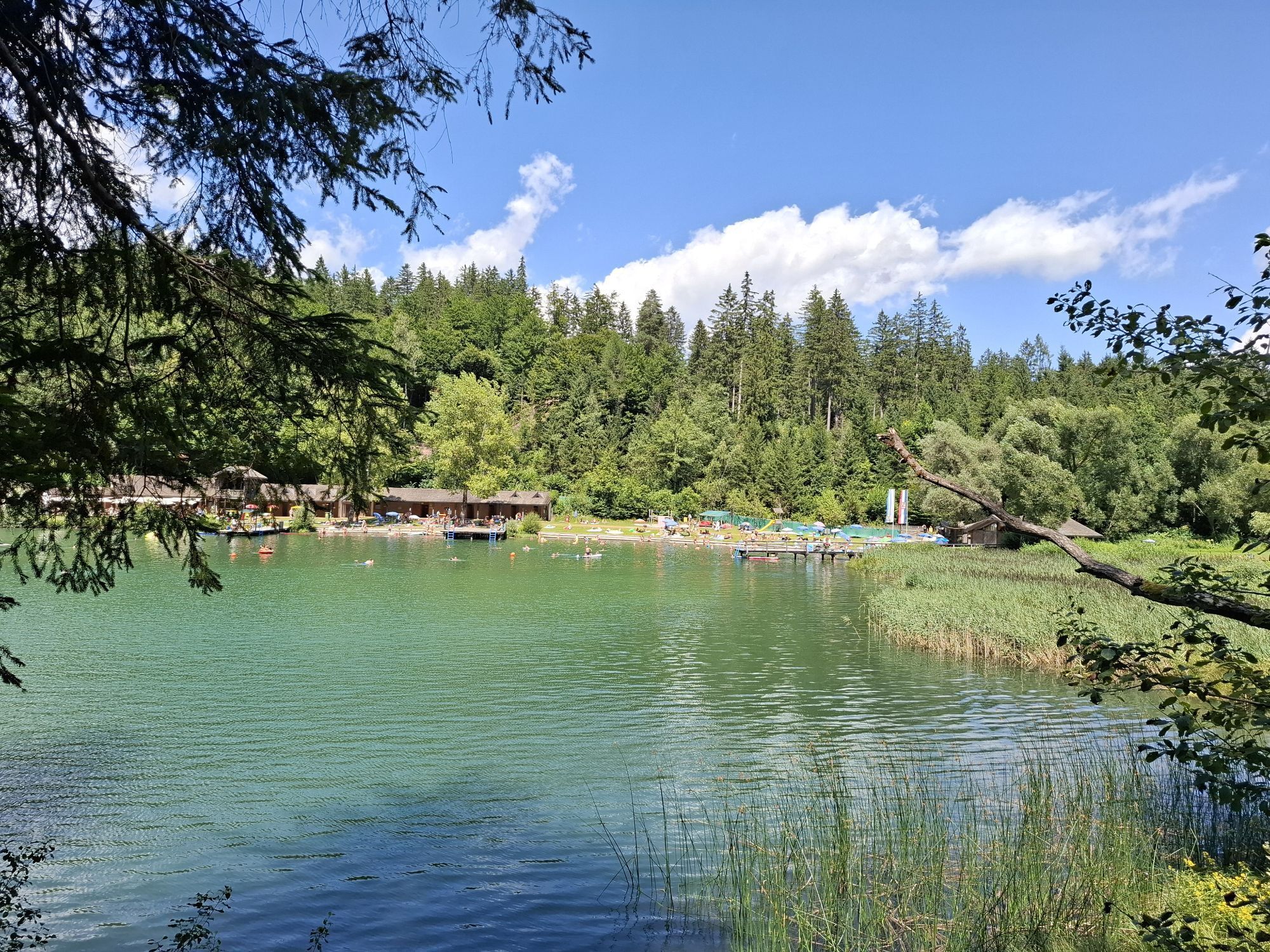
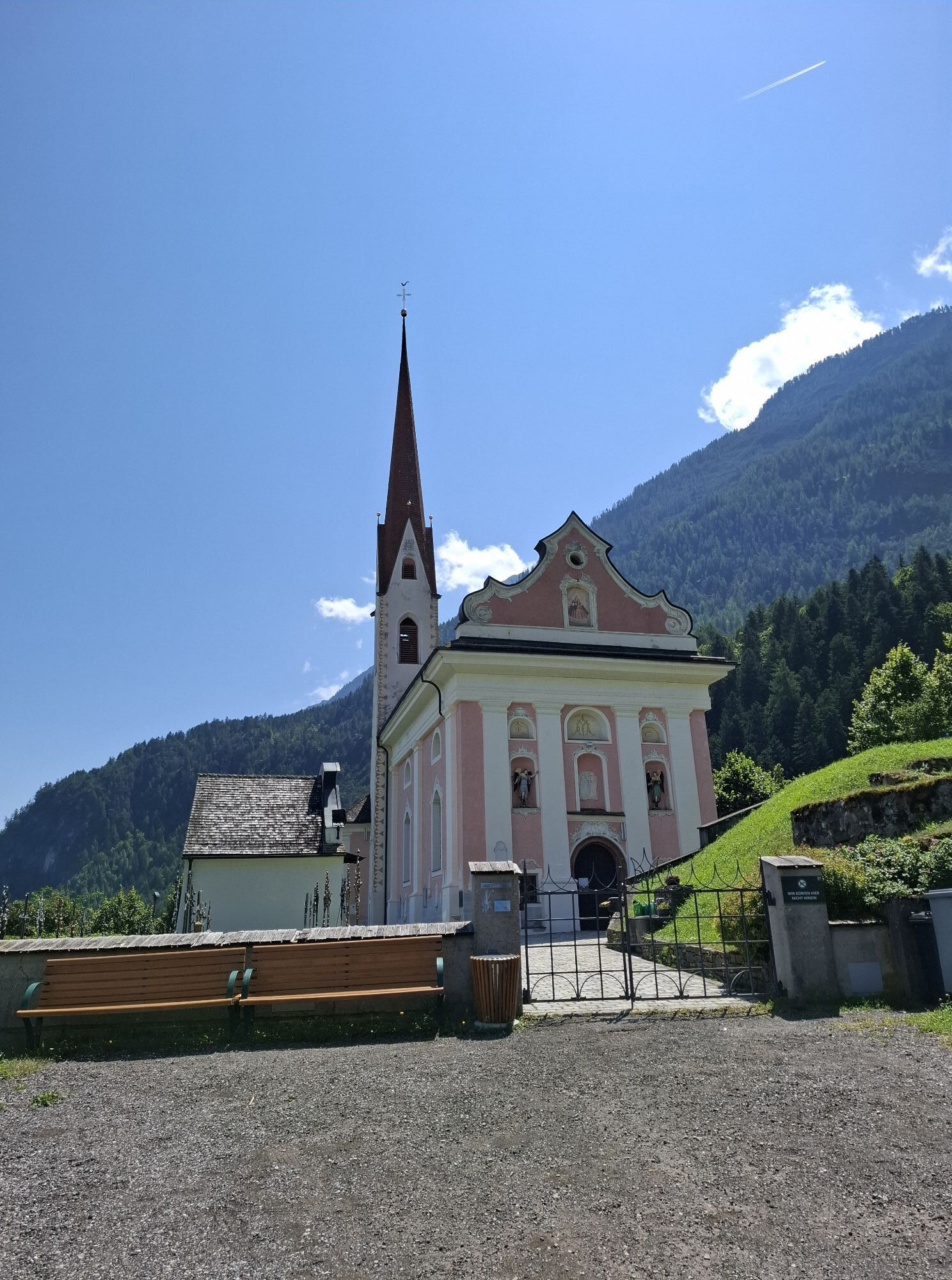
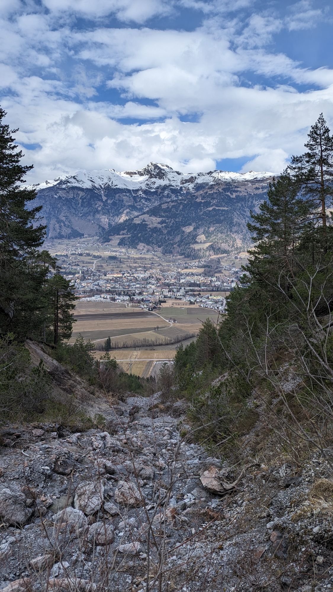
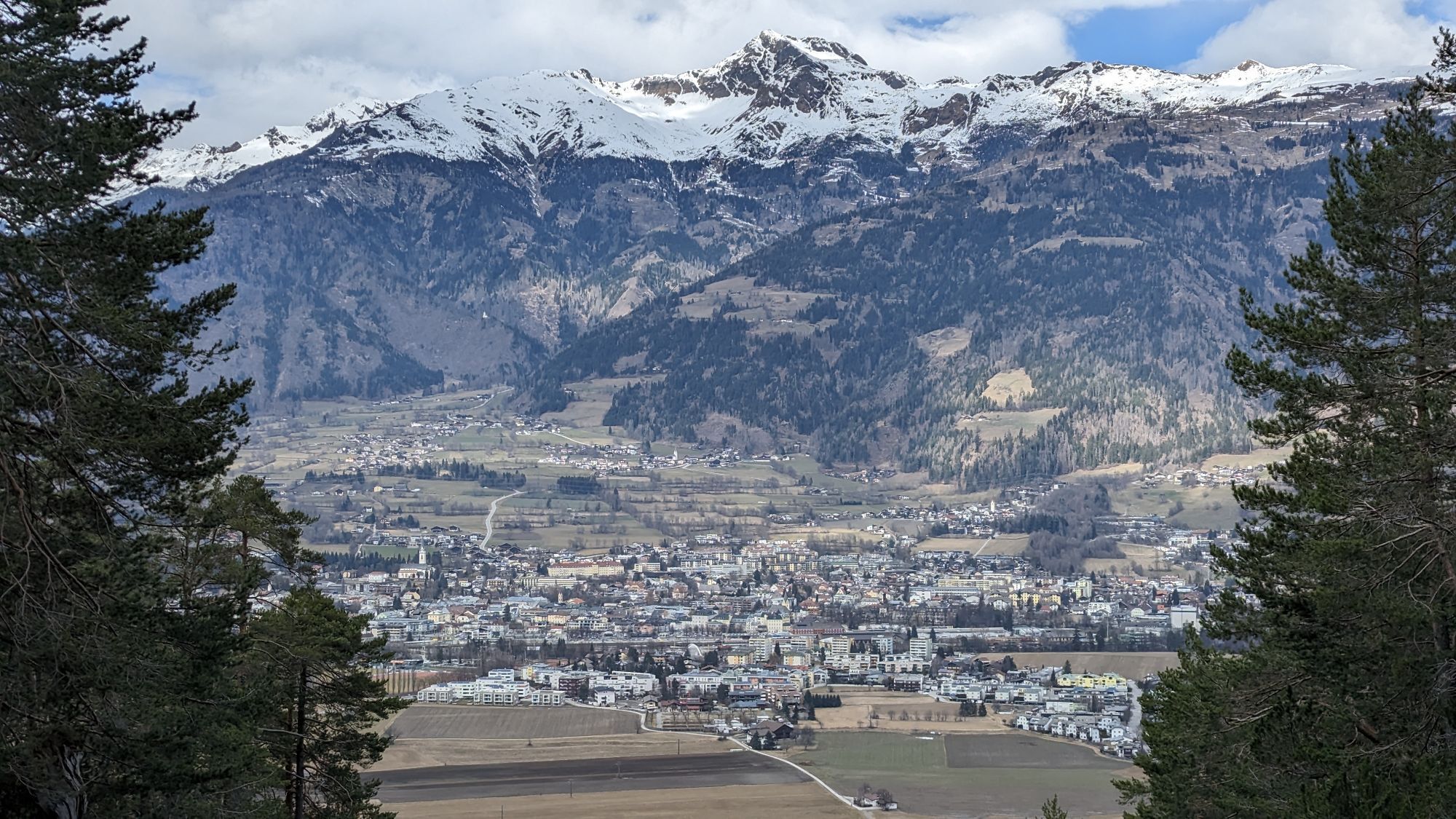
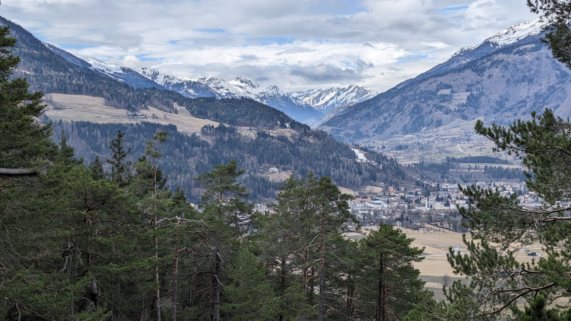

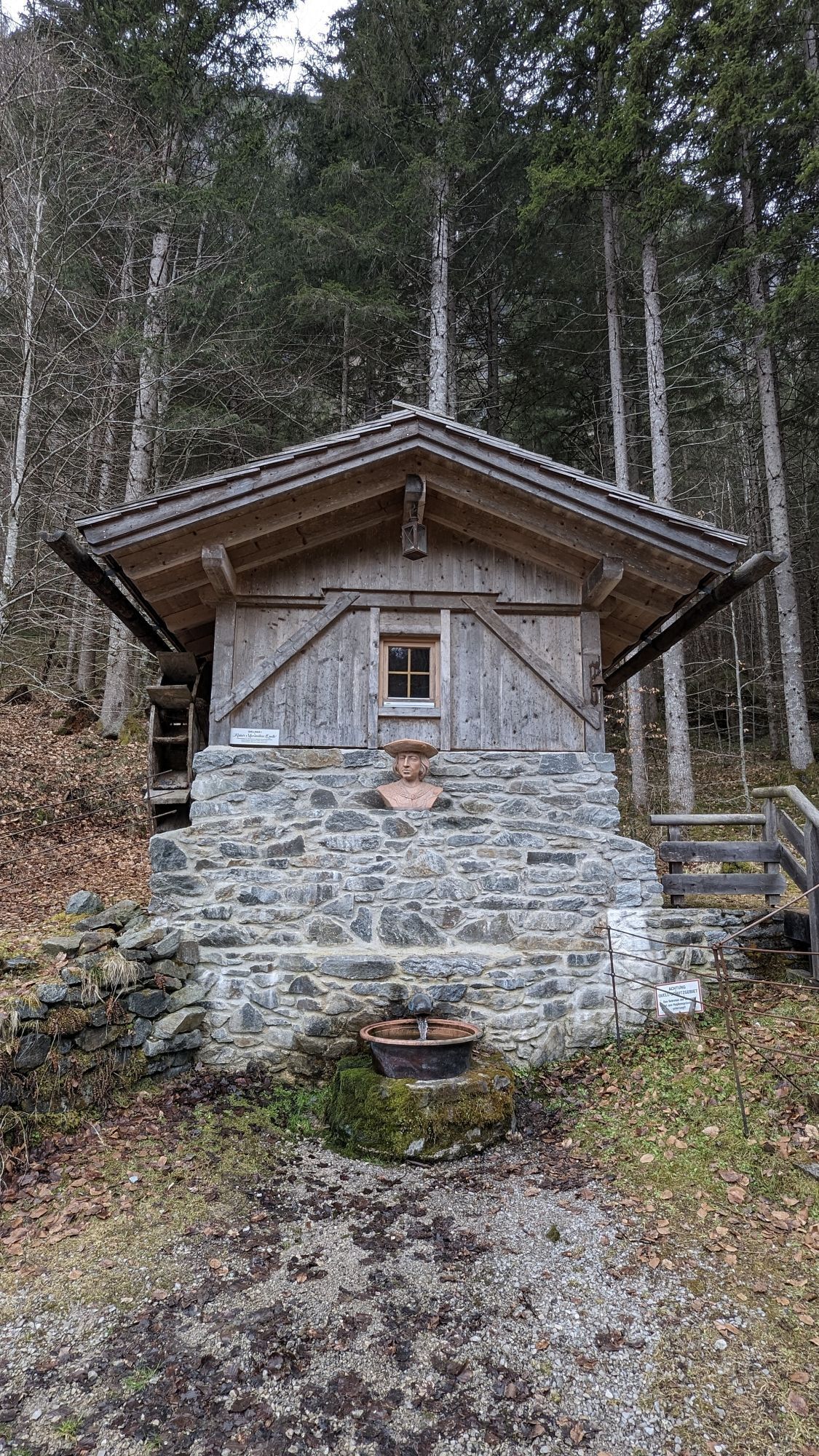
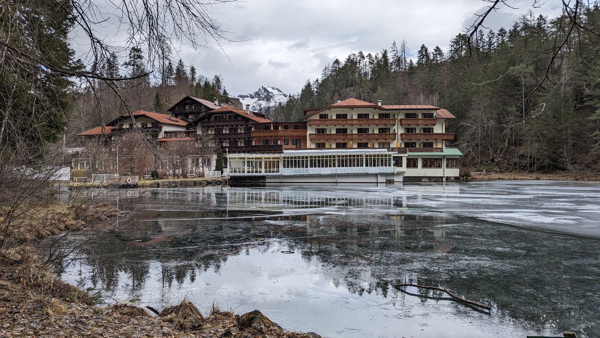
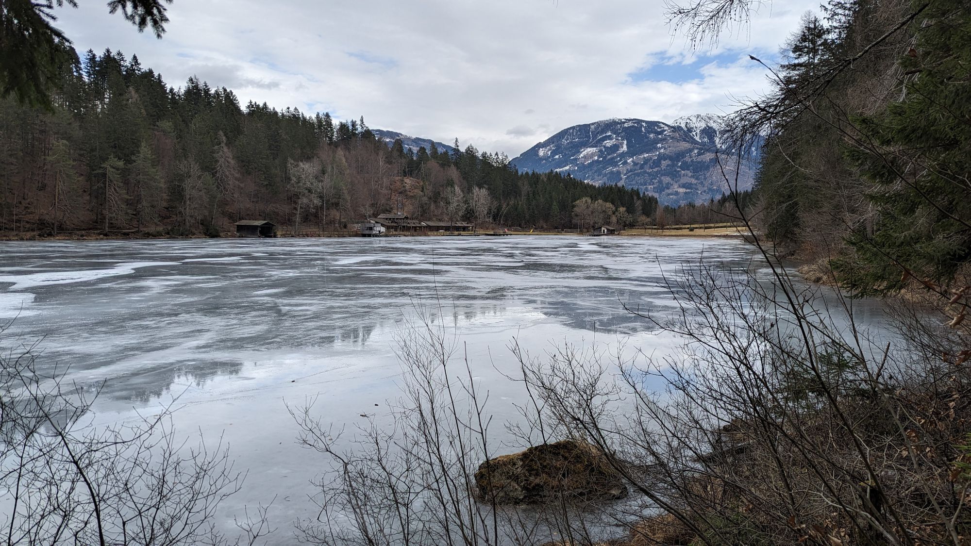
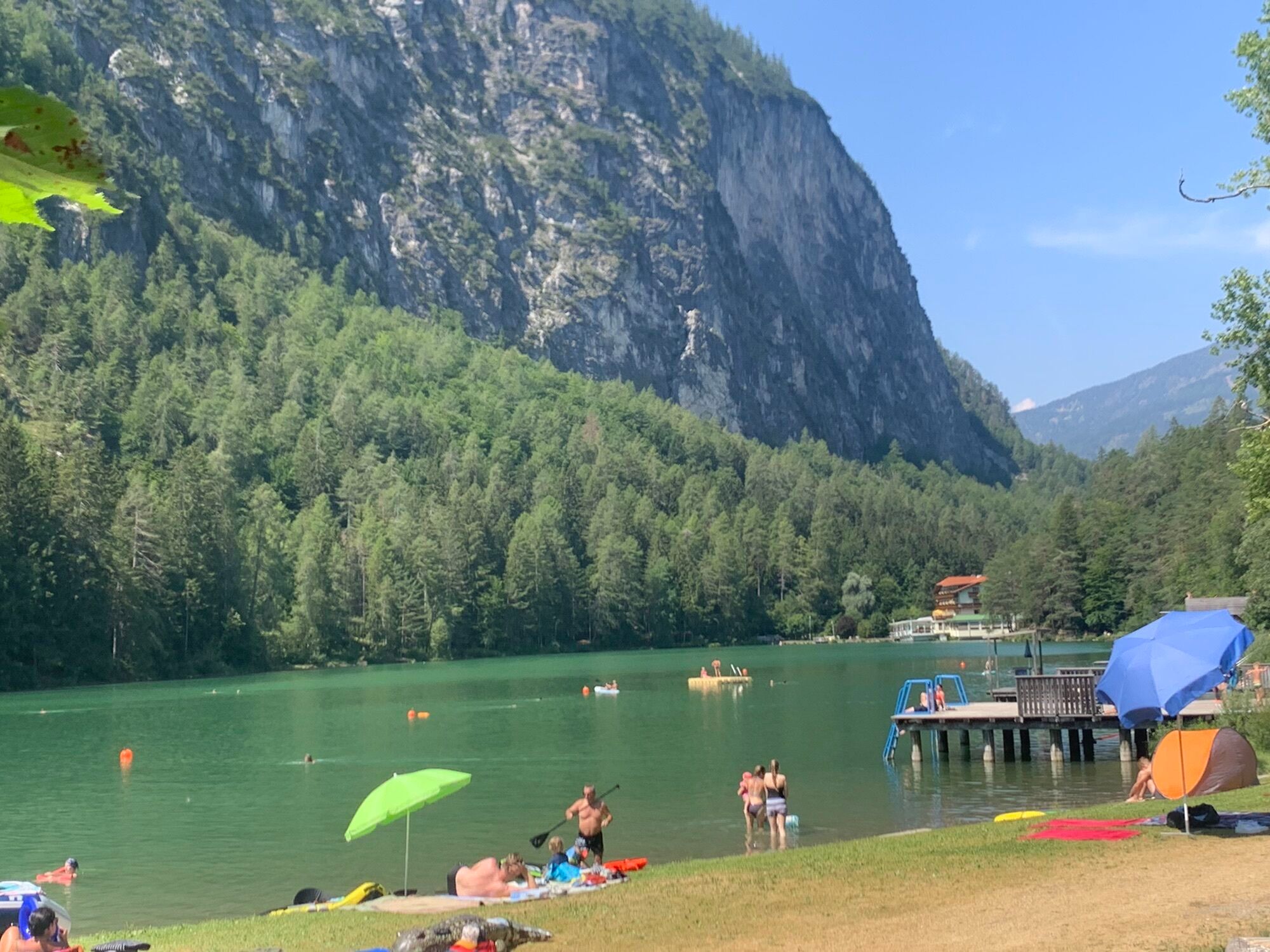
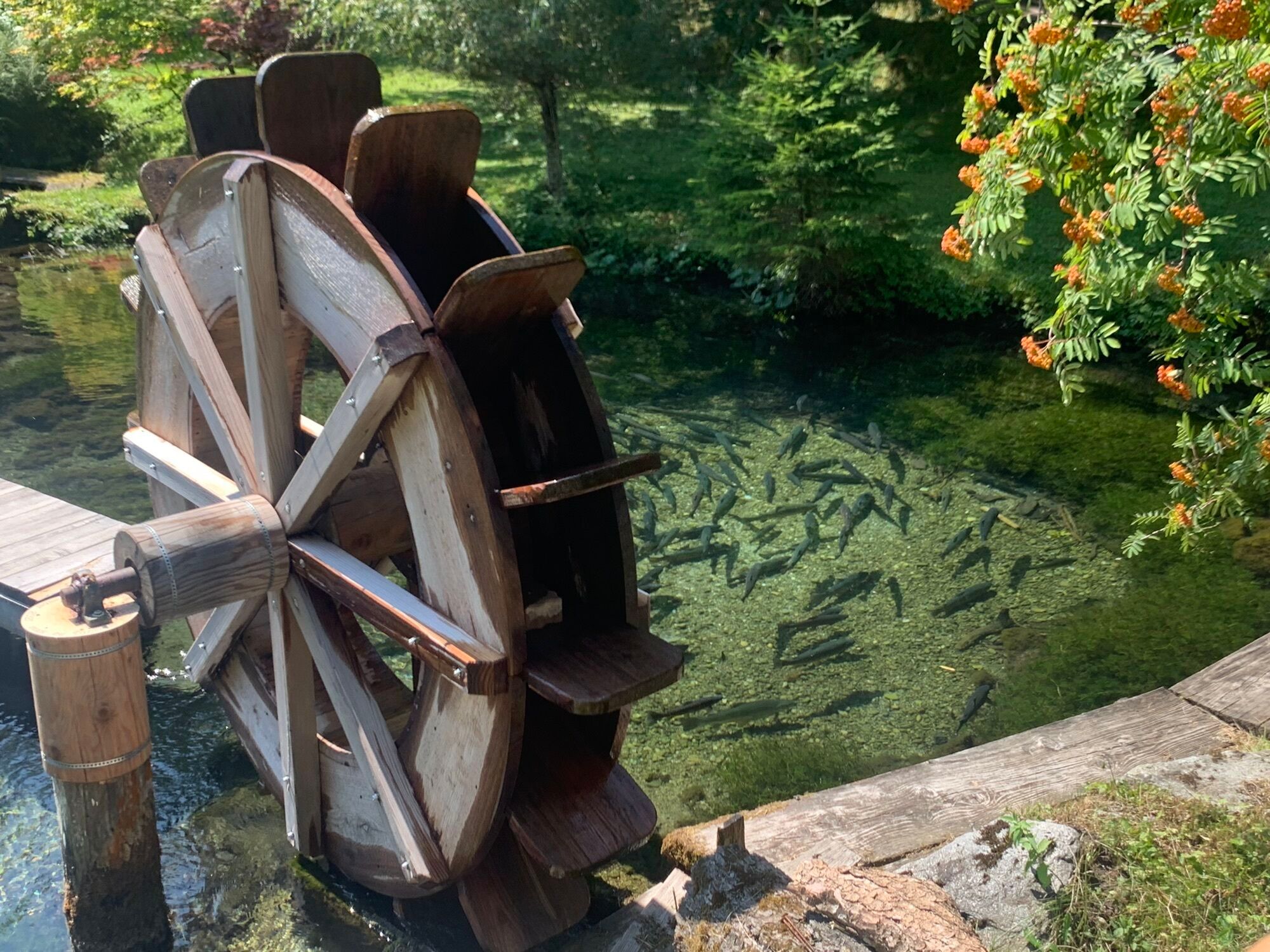
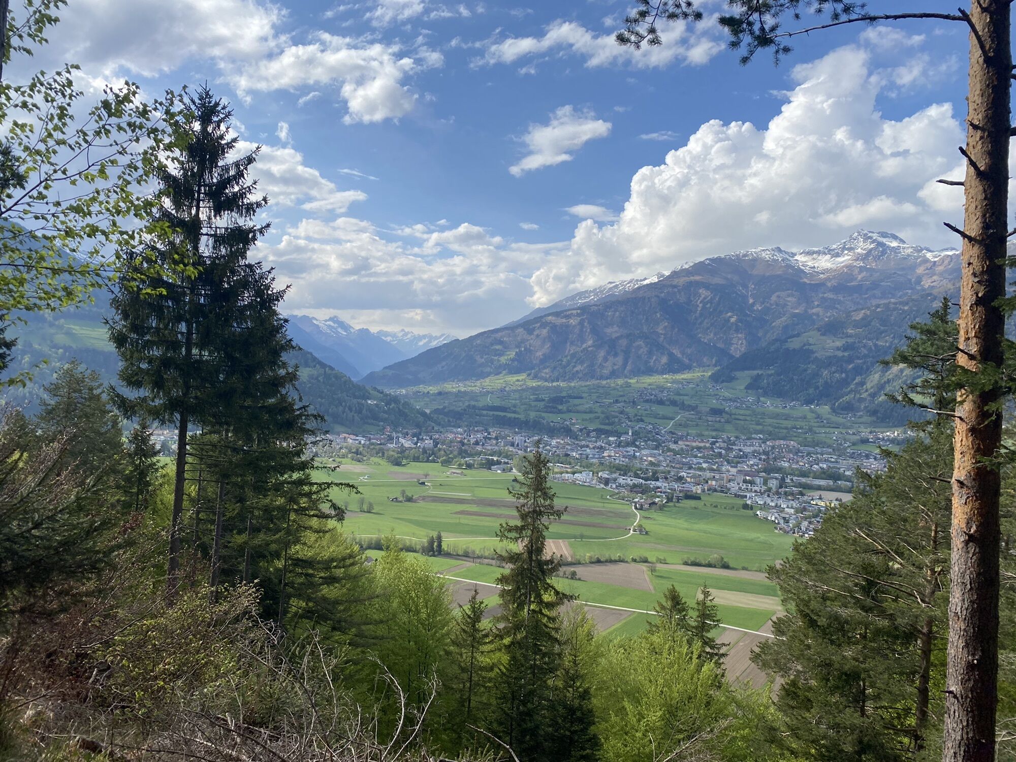
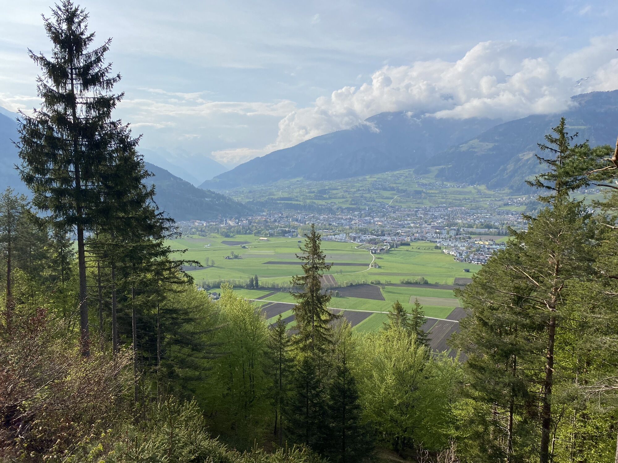
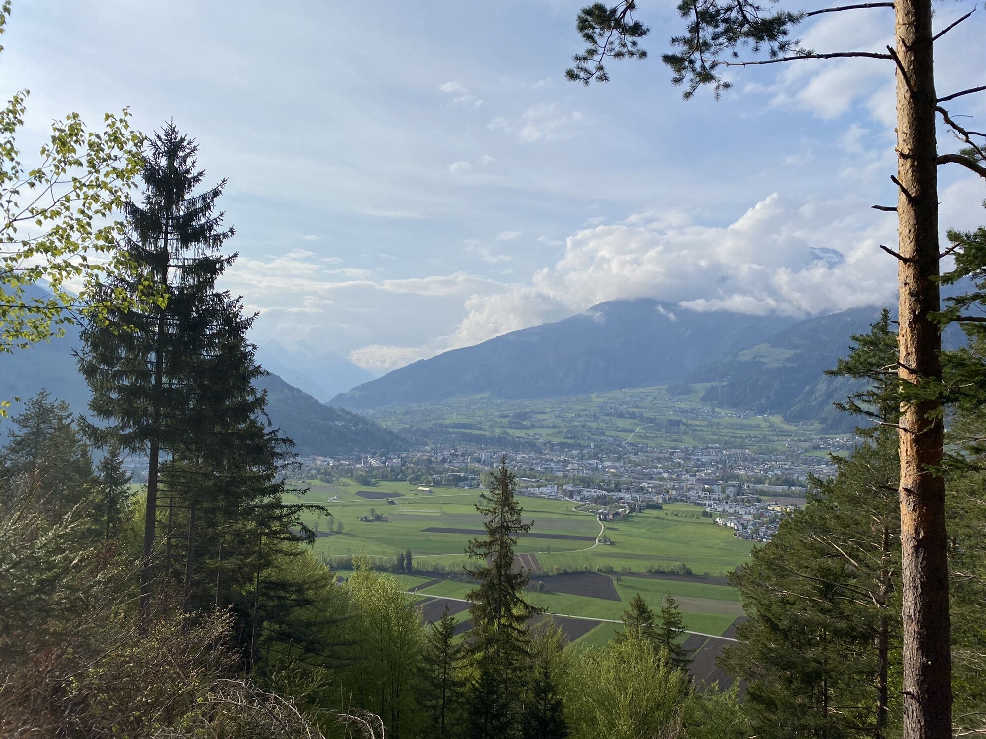
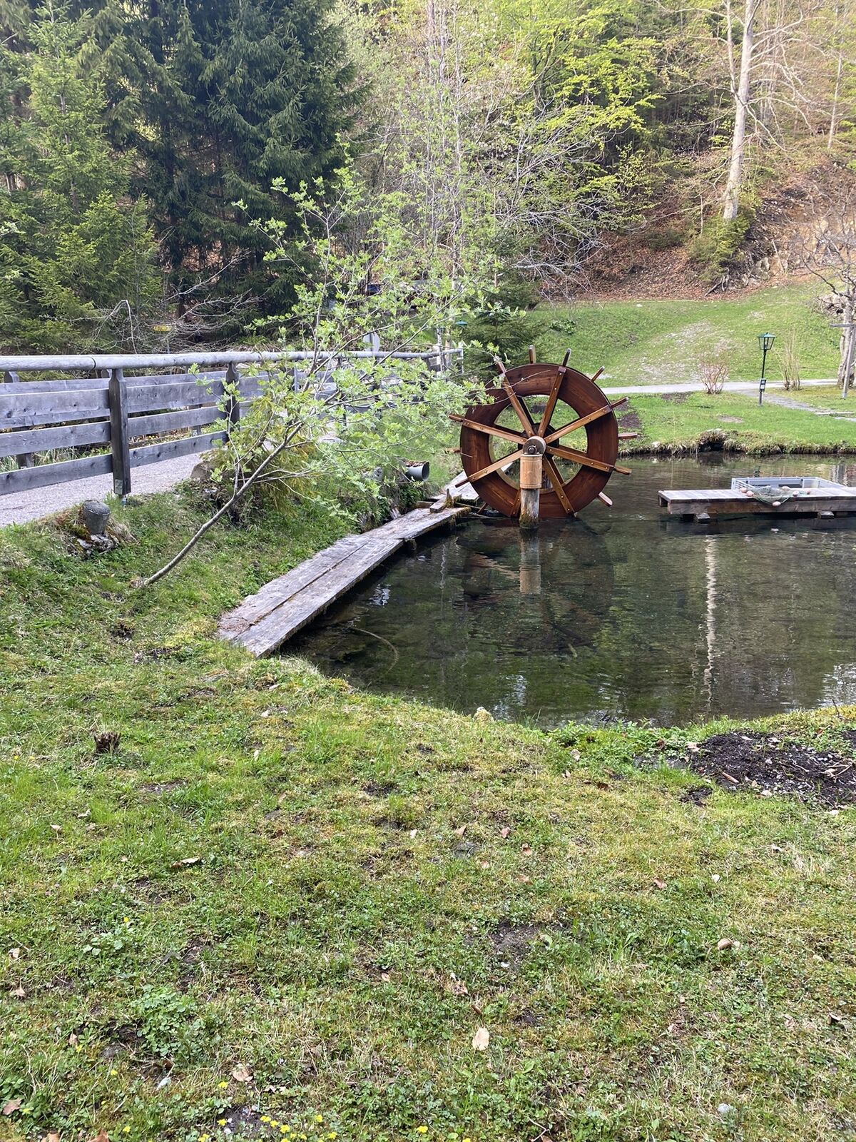
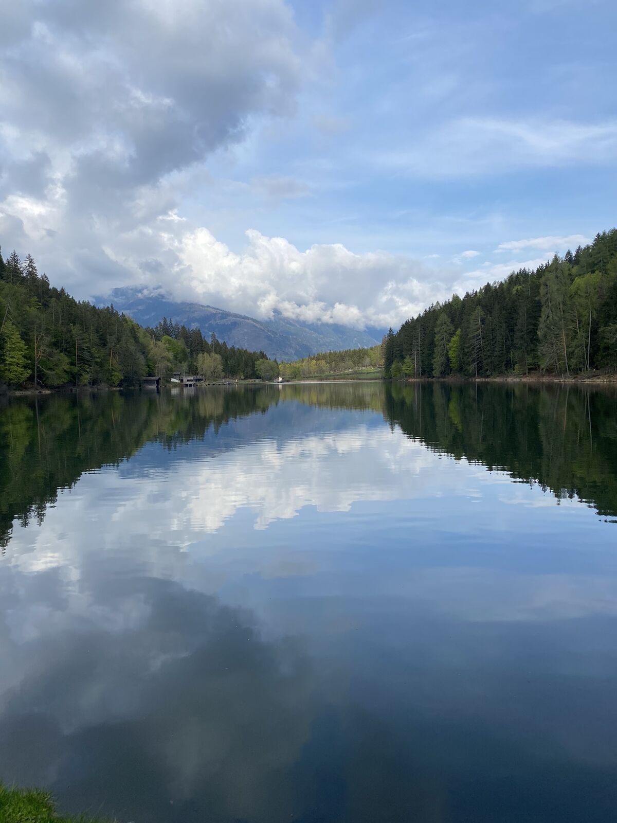
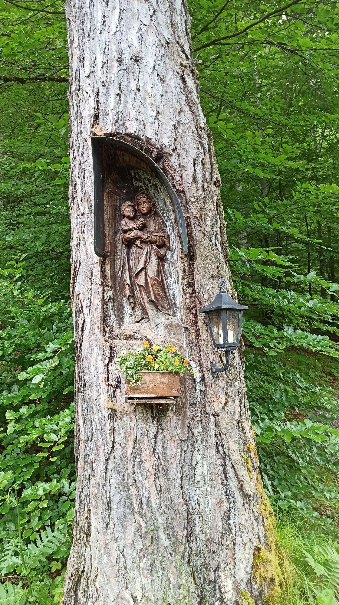
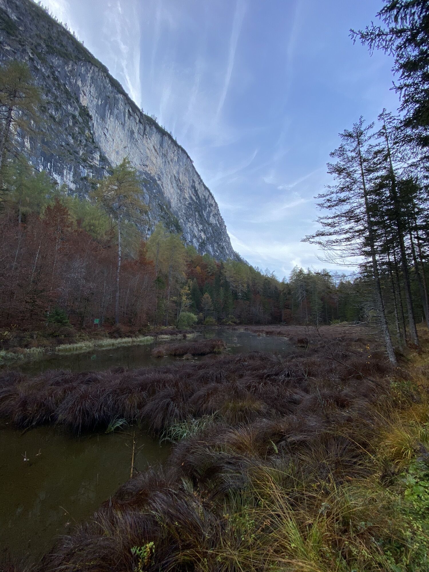
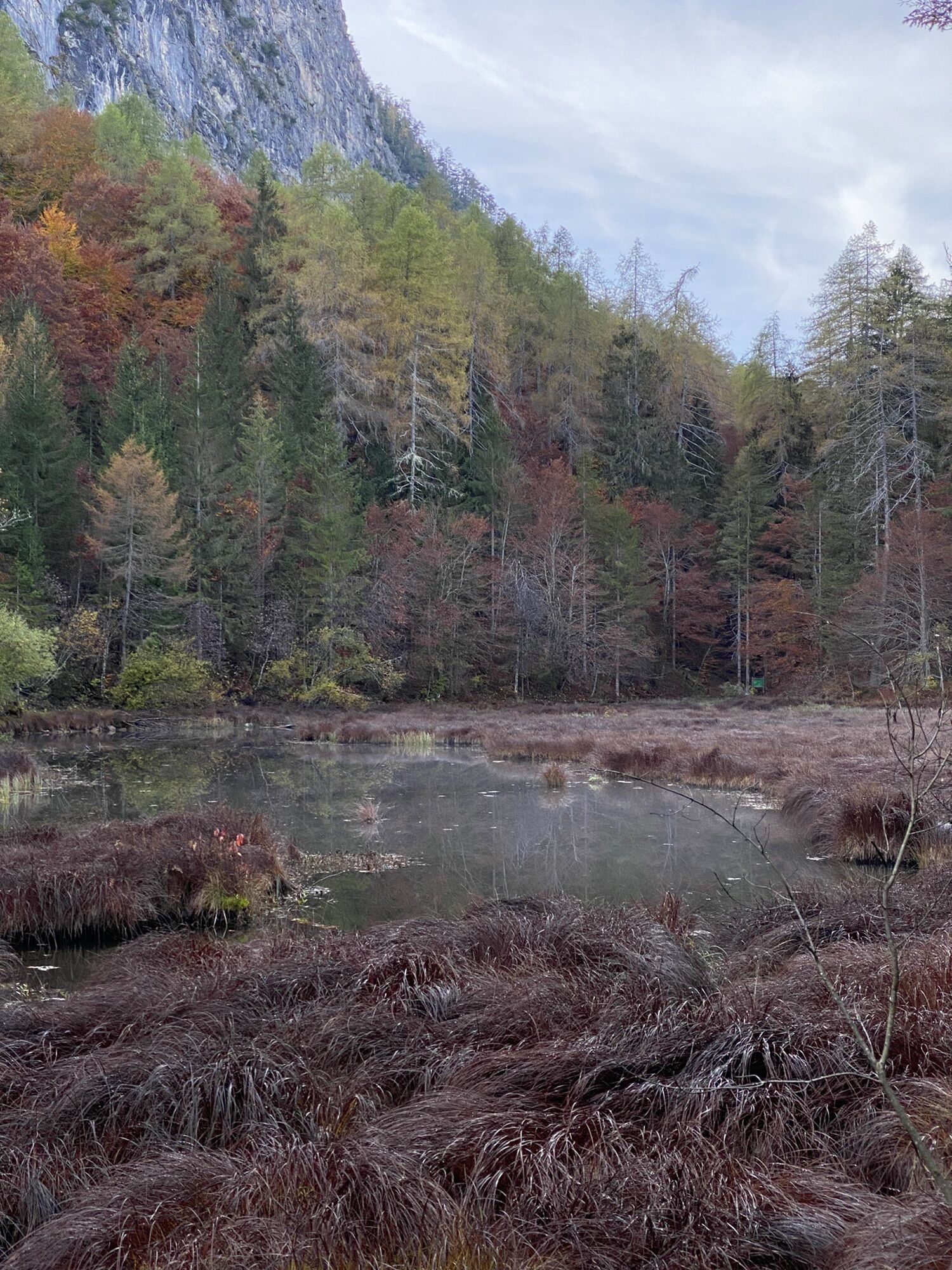
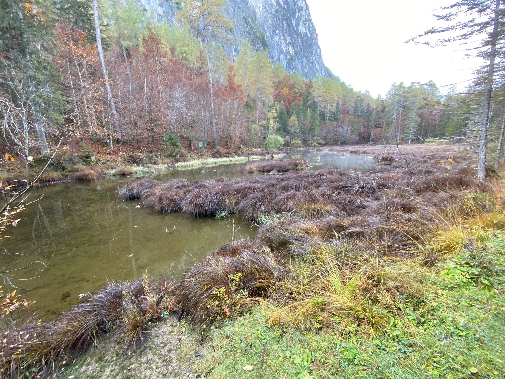
We begin the ‘Hoch und Heilig’ mountain pilgrimage route at the pilgrimage church in Lavant on the Lavanter Kirchbichl. From there, we set off for the branch church of St Peter and Paul and continue on...
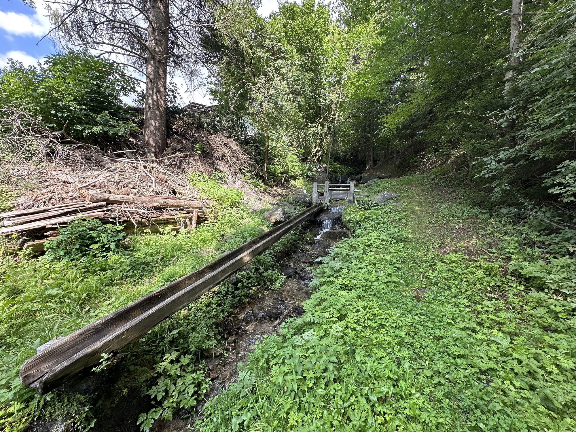
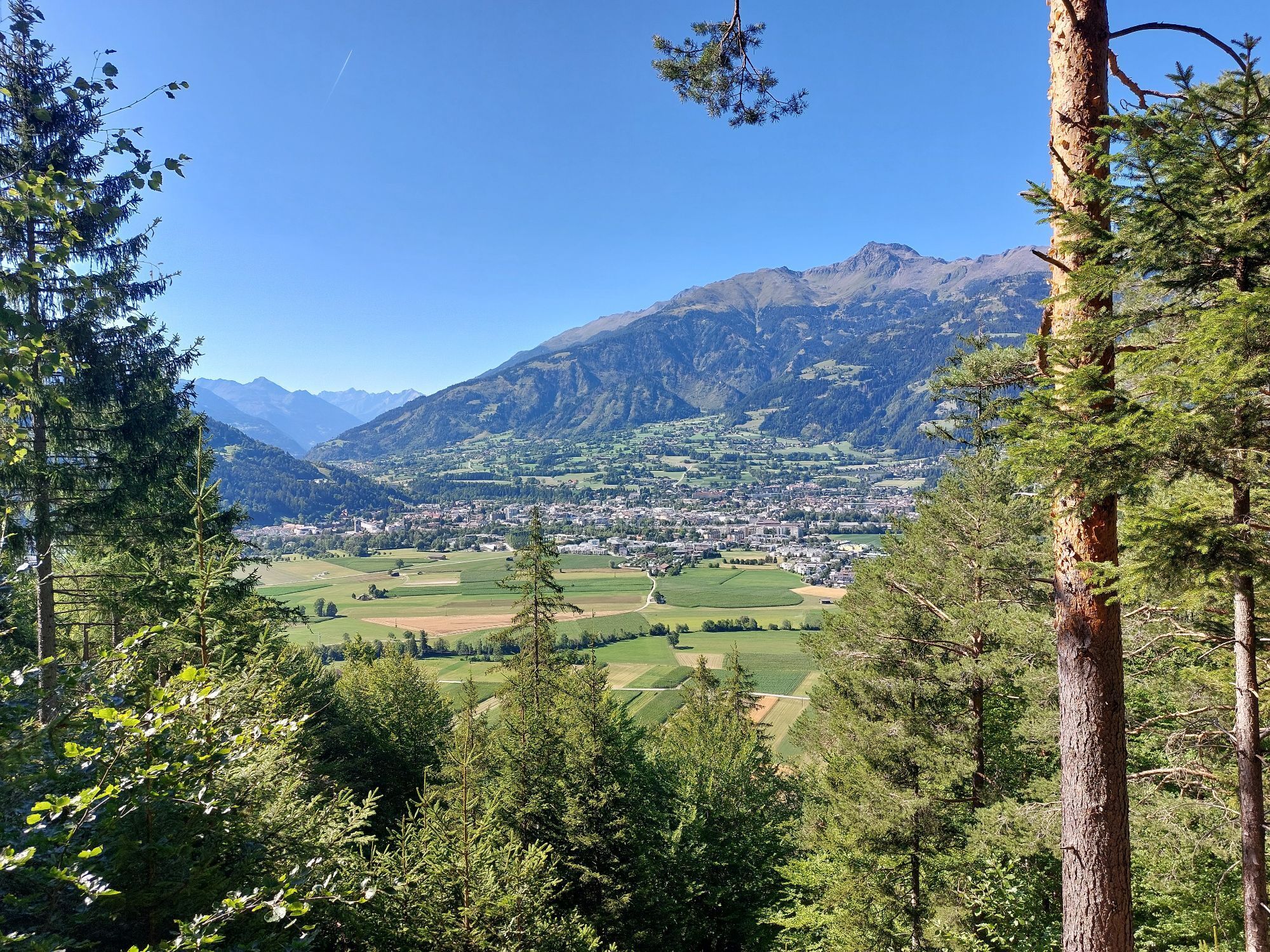
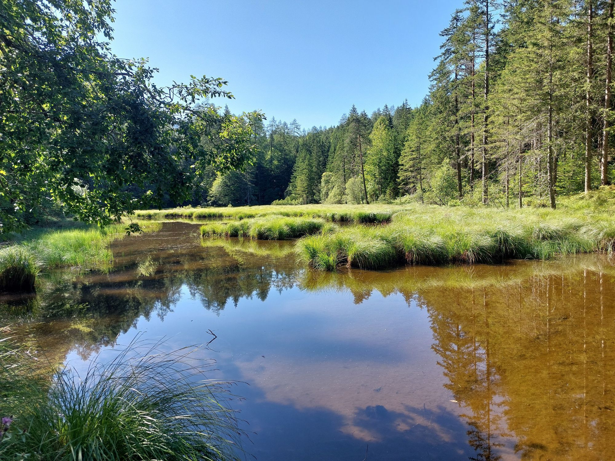
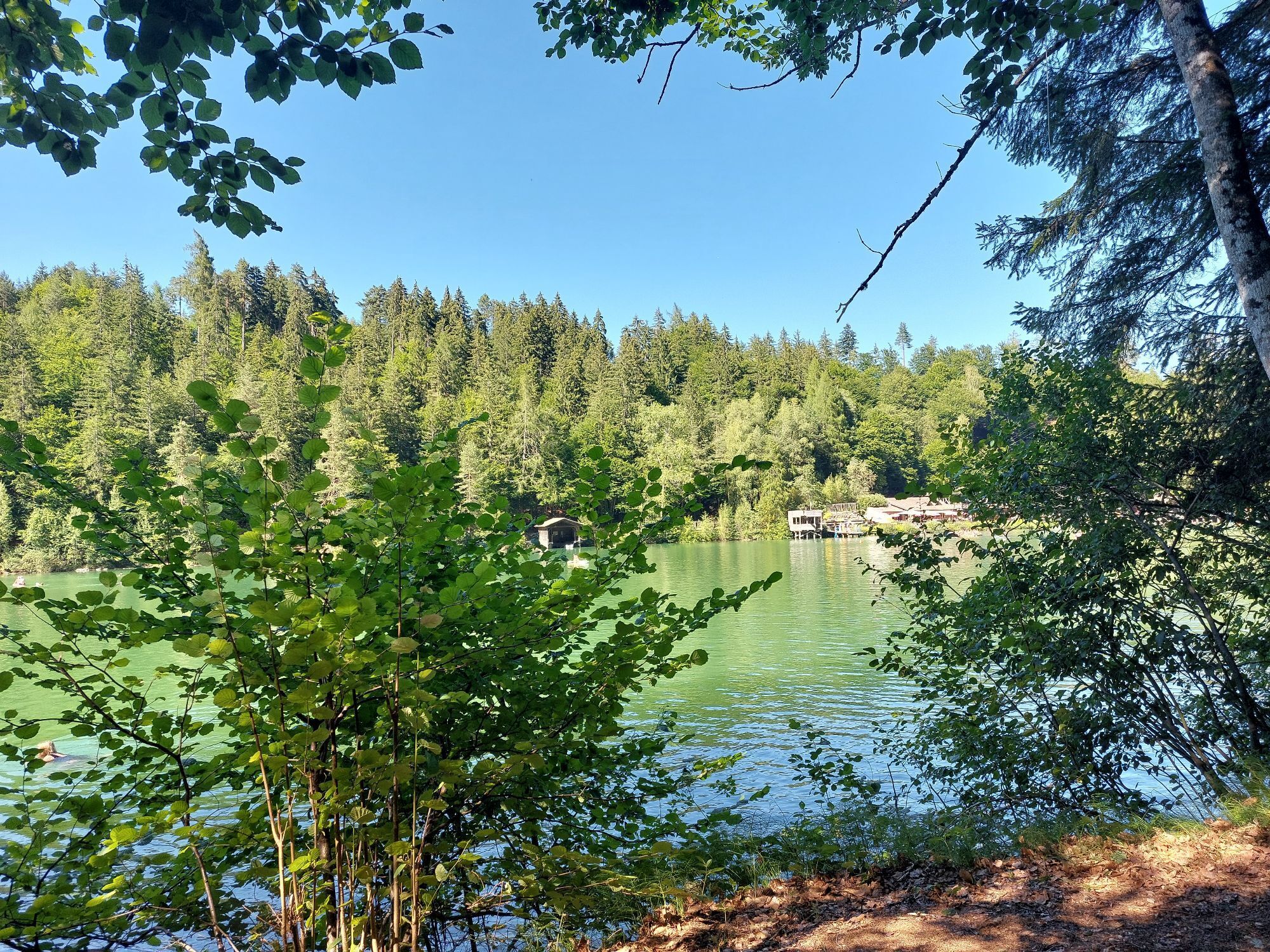
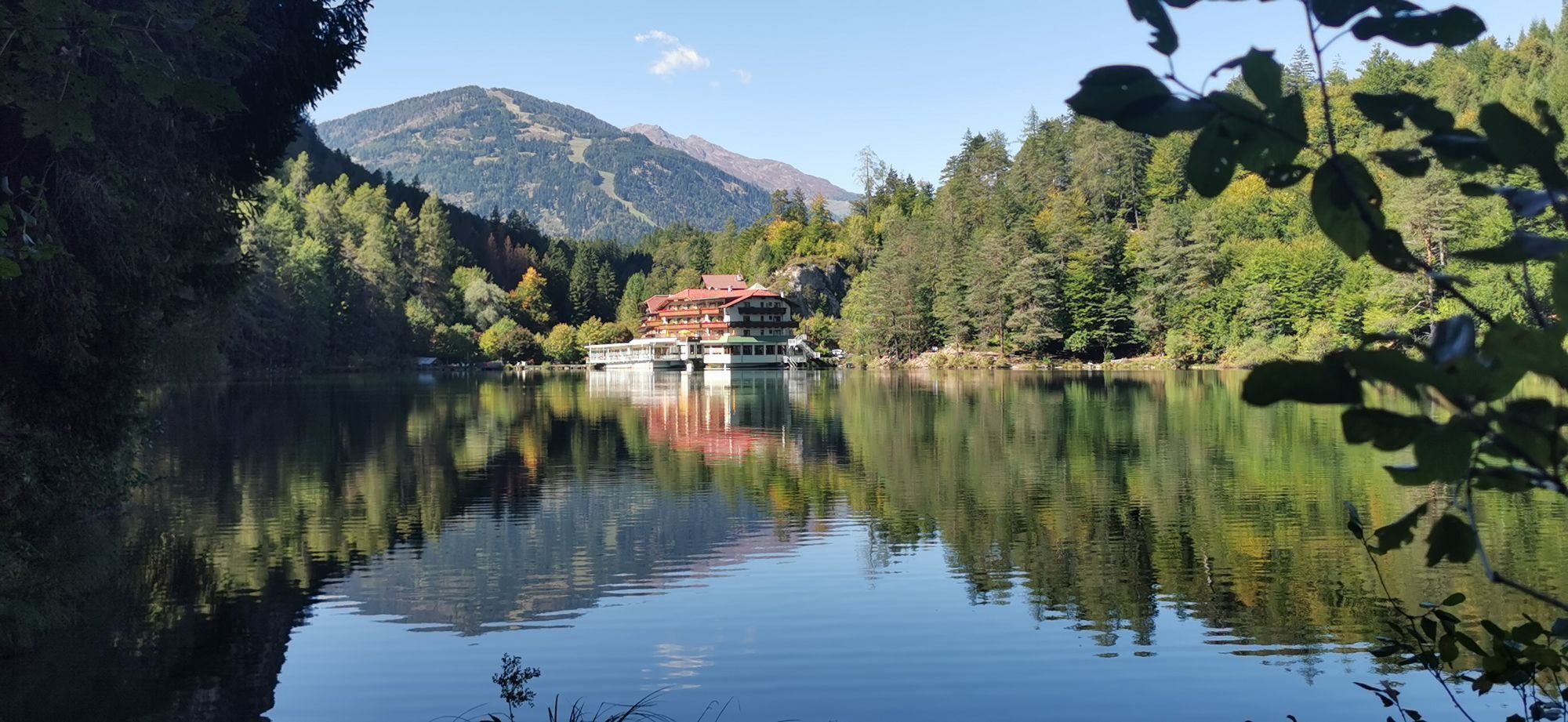
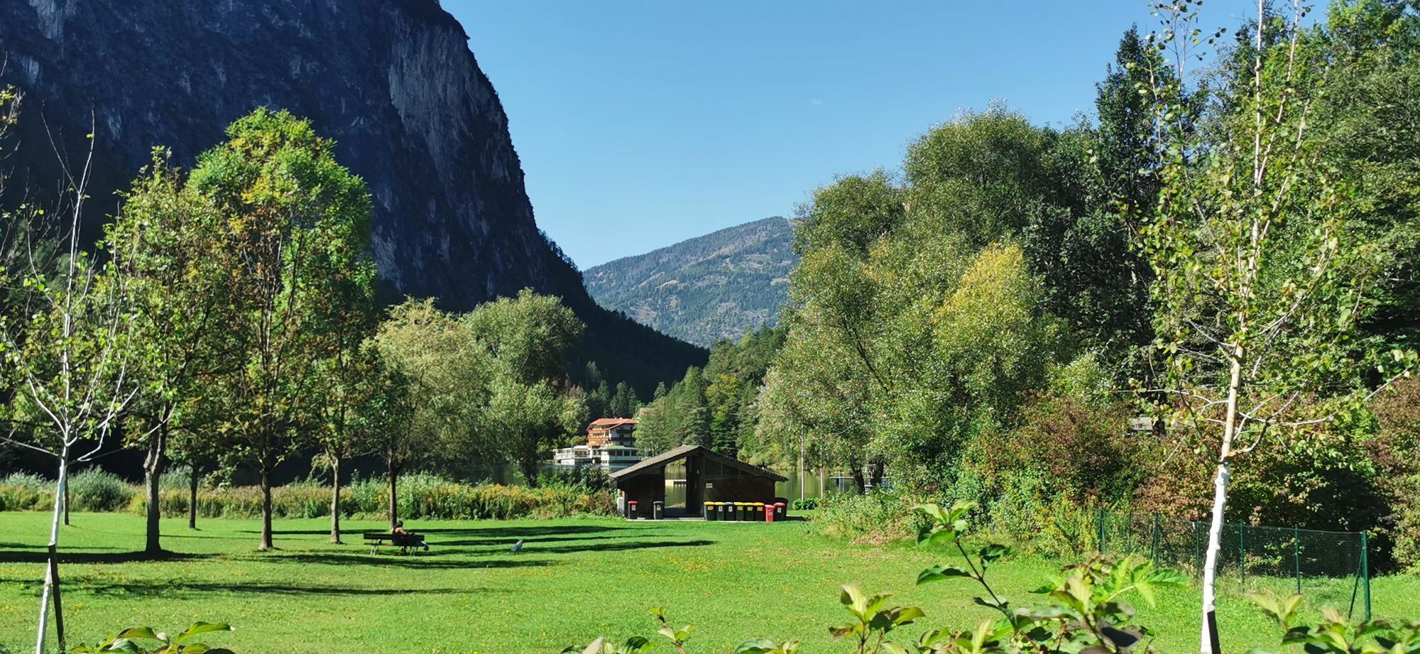
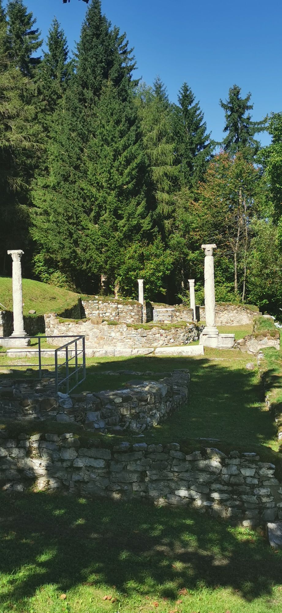
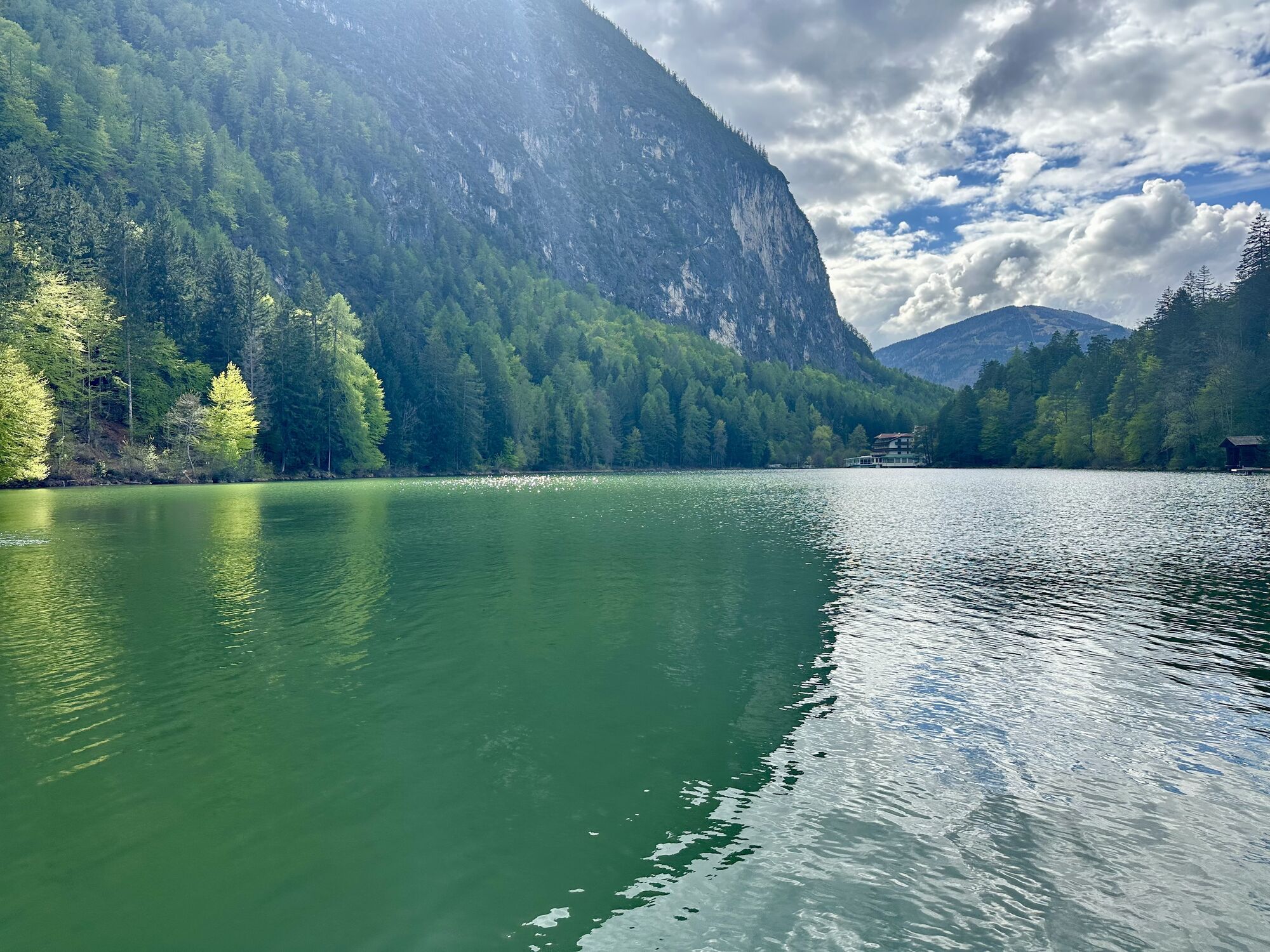
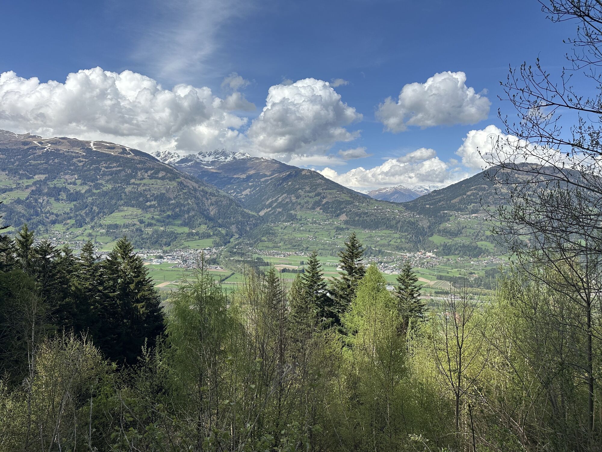
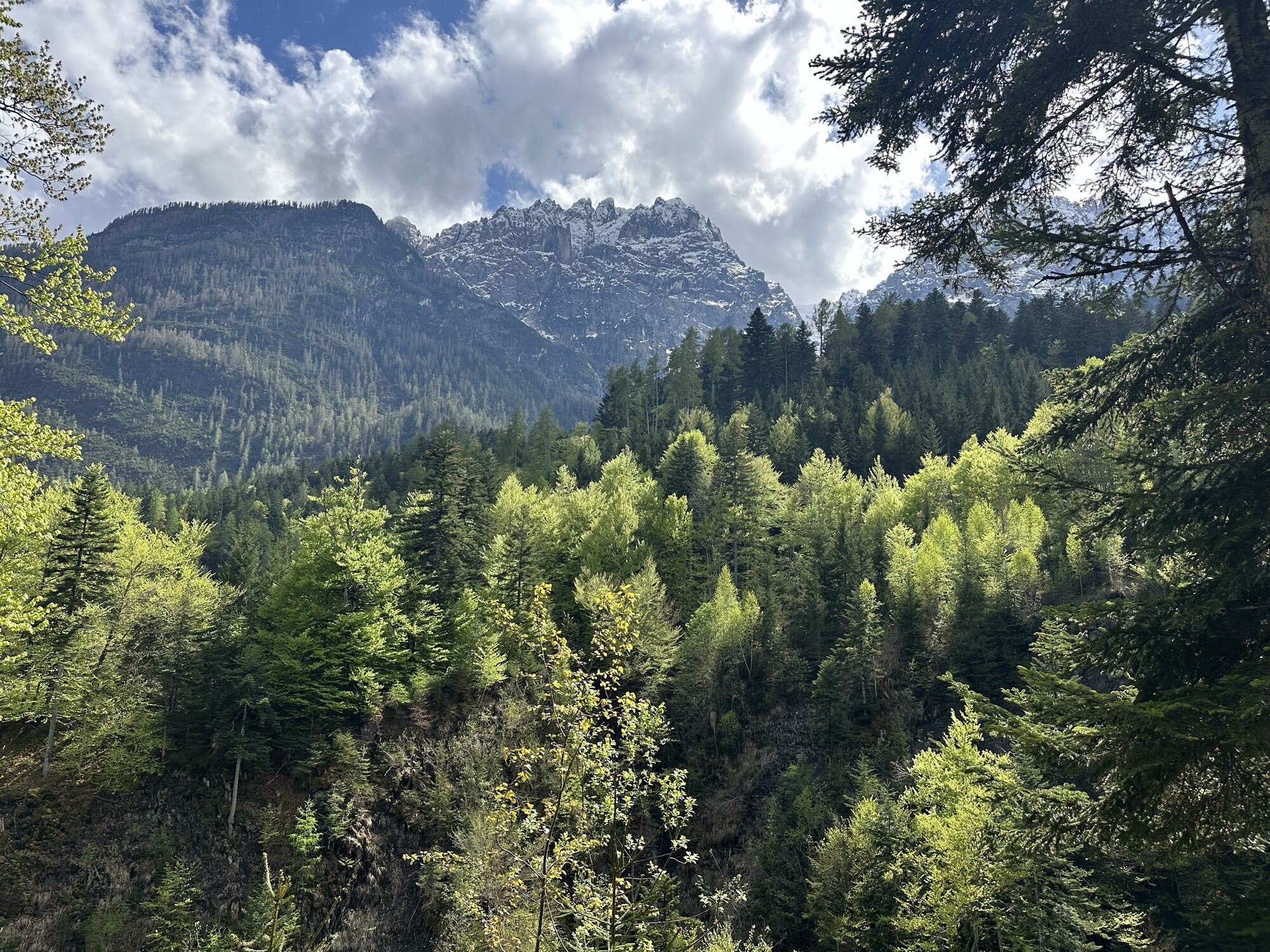
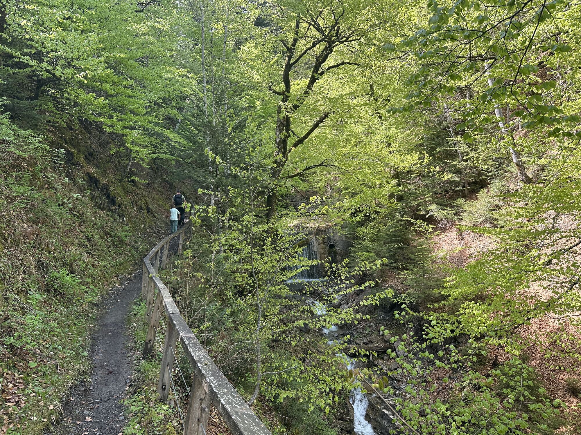
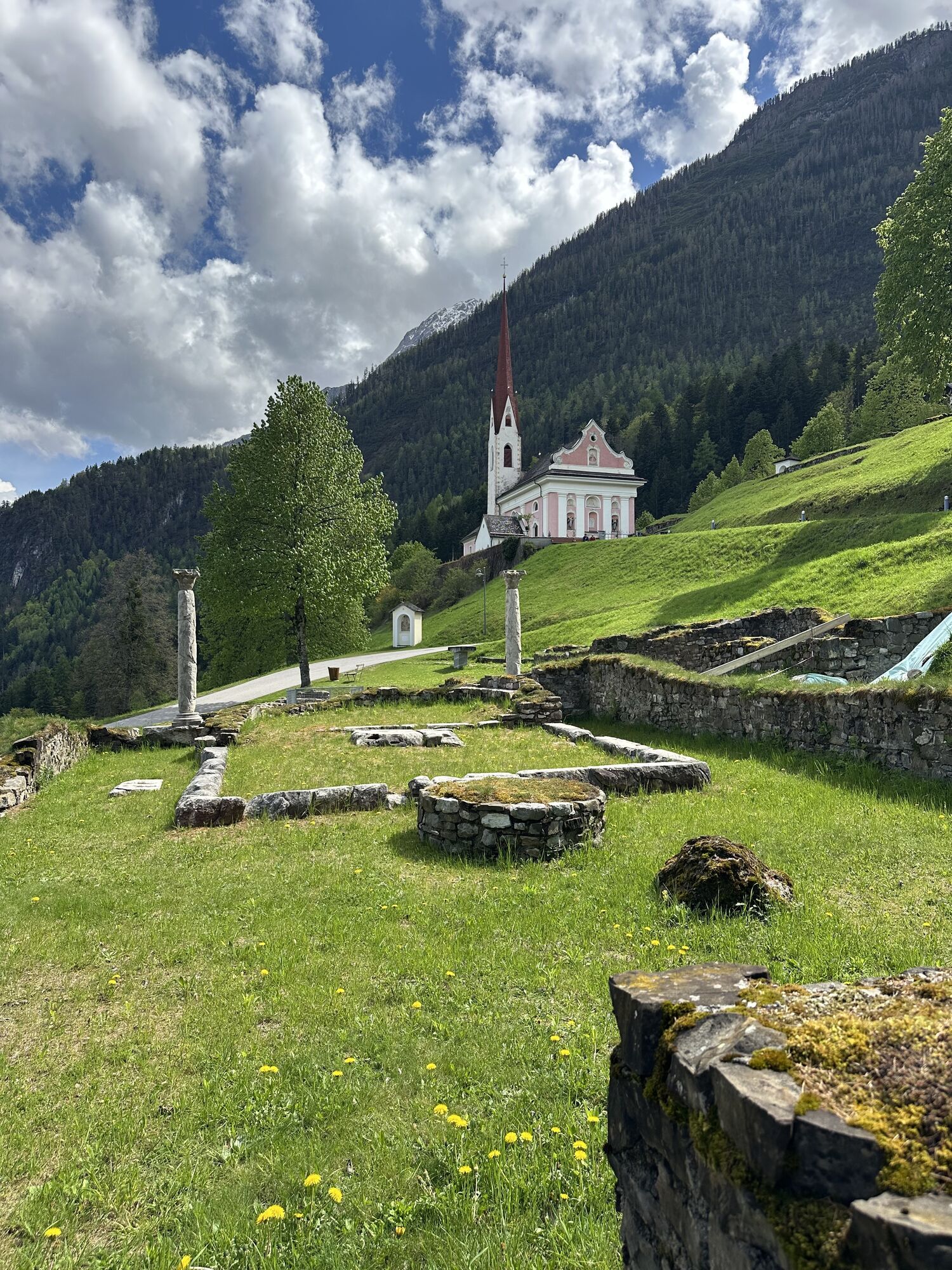
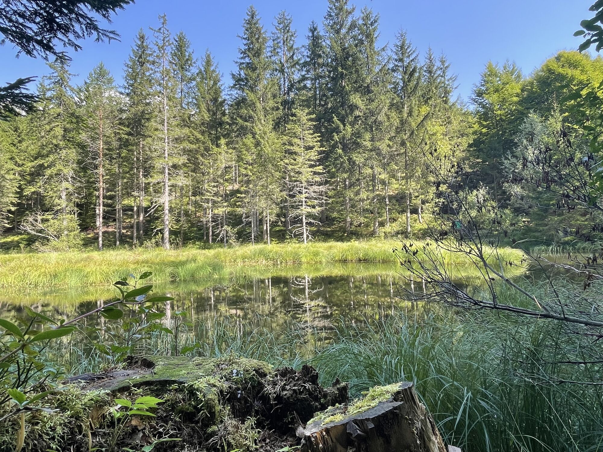
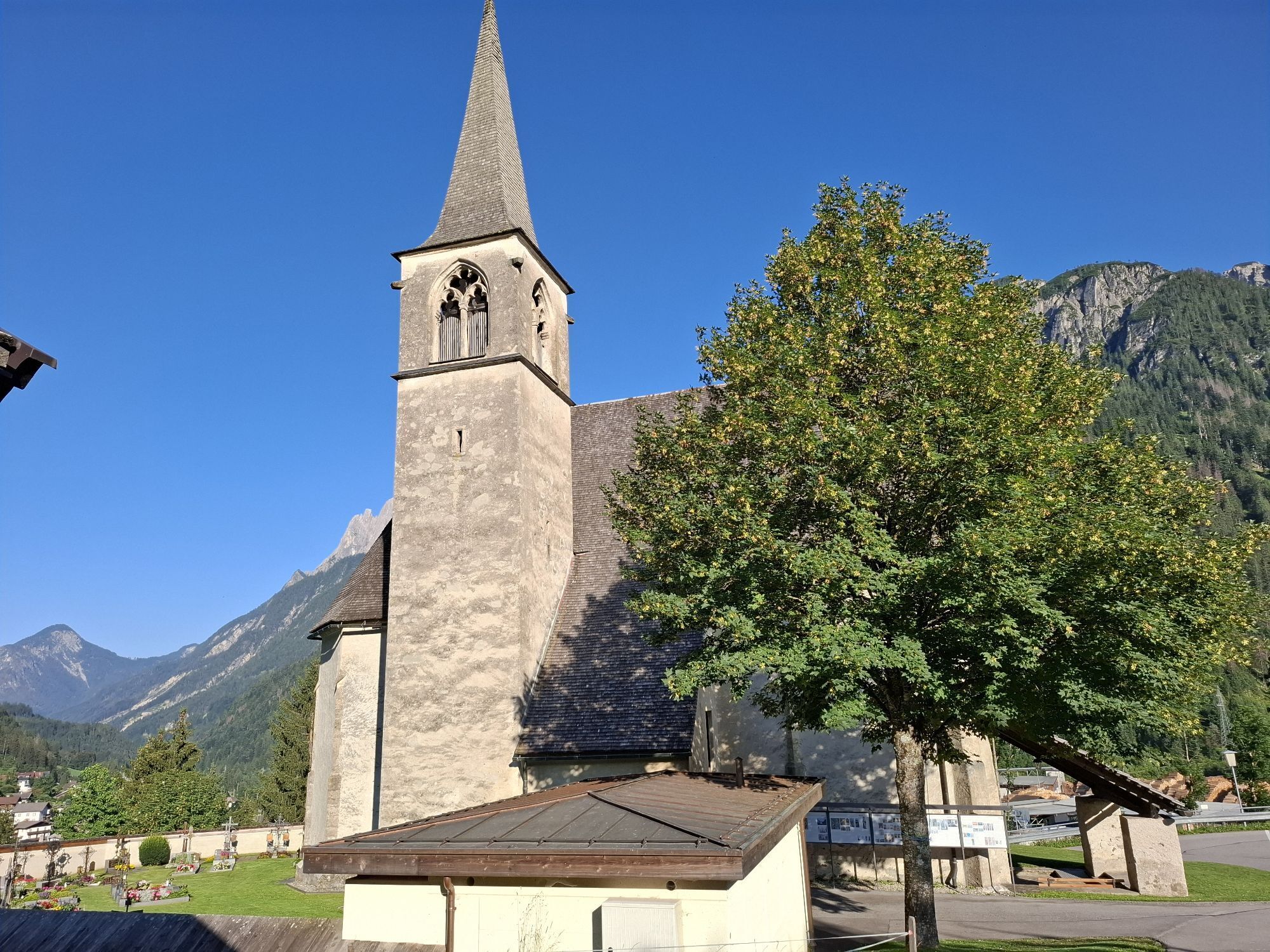
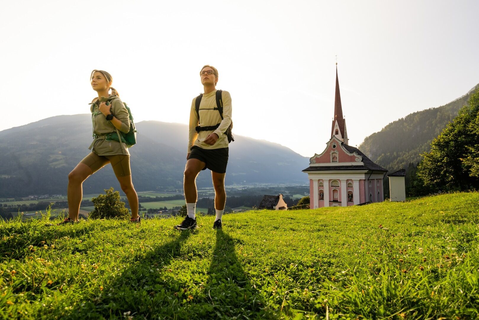
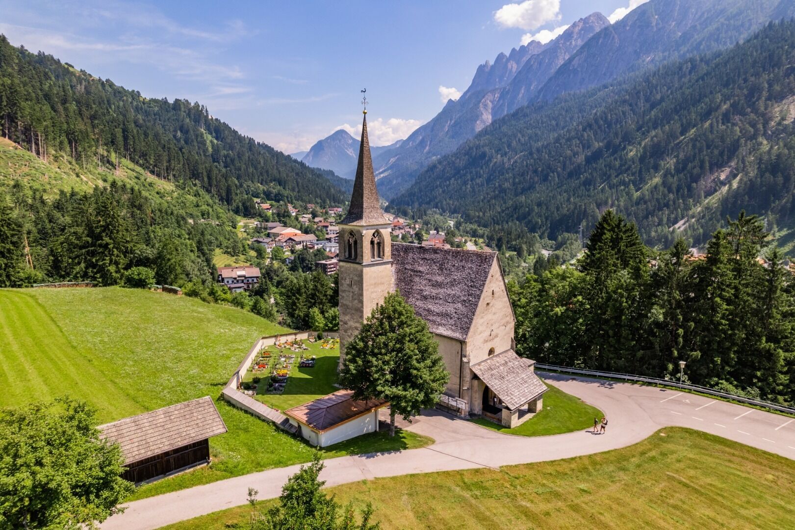
We begin the ‘Hoch und Heilig’ mountain pilgrimage route at the pilgrimage church in Lavant on the Lavanter Kirchbichl. From there, we set off for the branch church of St Peter and Paul and continue on to Kreithof along Trail No. 11. We continue our pilgrimage to the idyllic Tristacher See and Alten See. Still following Trail No. 11 (forest nature trail), we walk down to the chapel on the Ulrichsbichl and on to the village of Amlach, where we stop at the Church of St Ottilie. In earlier times, Amlach was a much-visited place of pilgrimage for those suffering from eye ailments. We continue upstream along the Drau until, at the Waldschenke, we cross the river towards Leisach and up to the parish church of St Michael. Via the Roman Trail, we reach Burgfrieden, passing the Lienzer Klause. The inscription on the memorial stone commemorates the defensive battle of 1809, when the Tyrolean riflemen forced Napoleon’s troops to withdraw from Lienz. Following the Römerweg, we reach the village of Thal. From here, it is just a short climb to our destination, St. Korbinian, situated on a terrace overlooking the Pustertal Valley.


Mit dem Auto von Lienz übe Tristach bis nach Lavant.
Mit dem Bus bis zur Bushaltestelle "Lavant Ort".
Parkplatz Gemeindeamt Lavant
Získejte přehled
Vždy živě na místě s více než 9 500 webkamerami. bergfex Jako uživatel Pro si nyní můžete zobrazit odpovídající webové kamery pro mnoho prohlídek v aplikaci prohlídky z. Můžete si tak přímo prohlédnout aktuální podmínky.


Oblíbené prohlídky v okolí
-
4.9
Wangennitzsee Hütte
středníTuristika 3.80 km -
5.0
Ederplan round from the parking lot Stronach
středníTuristika 7.19 km -
4.7
Karlsbader Hütte über Rudl-Eller-Weg
heavyTuristika 5.10 km -
4.8
Pirknerklamm (C)
středníVia ferrata 2 km -
4.8
Lienzer Dolomiten-Lasertörl
středníTuristika 13.2 km -
4.7
Karlsbader Hütte
středníMountainbike 13.4 km -
4.0
Karlsbader Hütte - Lienzer Dolomiten
Turistika 8 km -
4.7
Lienzer Hütte
světloTuristika 7.39 km -
4.2
Straßkopf
středníTuristika 4.06 km -
4.3
Connyalm (2.070 m)
Turistika 6.36 km
Pěší turistika a stopování


Nenechte si ujít nabídky a inspiraci pro vaši příští dovolenou
Vaše e-mailová adresa byl přidán do poštovního seznamu.





