
Wiesbauerspitze 2.767 m
střední
Pořiďte si tuto prohlídku do mobilního telefonu
Wiesbauerspitze 2.767 m
střední
Turistika
18.12
km
Naskenujte QR kód a spusťte navigaci v aplikaci bergfex.


Pěší turistika a stopování




Wiesbauerspitze 2.767 m
střední
Vzdálenost
18.1
km
Doba trvání
08:00
h
Ascent
1277
hm
Hladina moře
1401 -
2751
m
Stažení skladby
Wiesbauerspitze 2.767 m
střední
Turistika
18.12
km
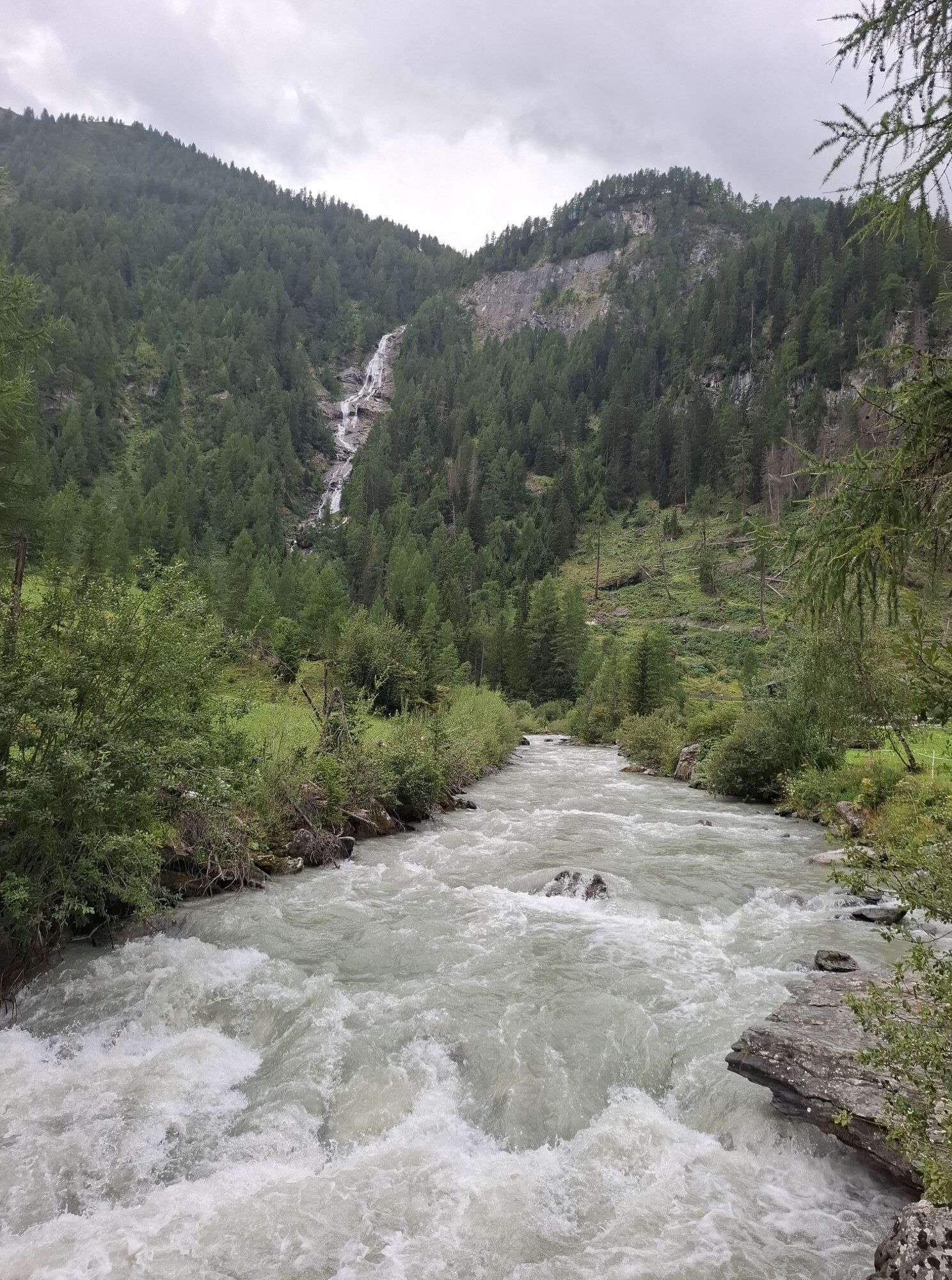
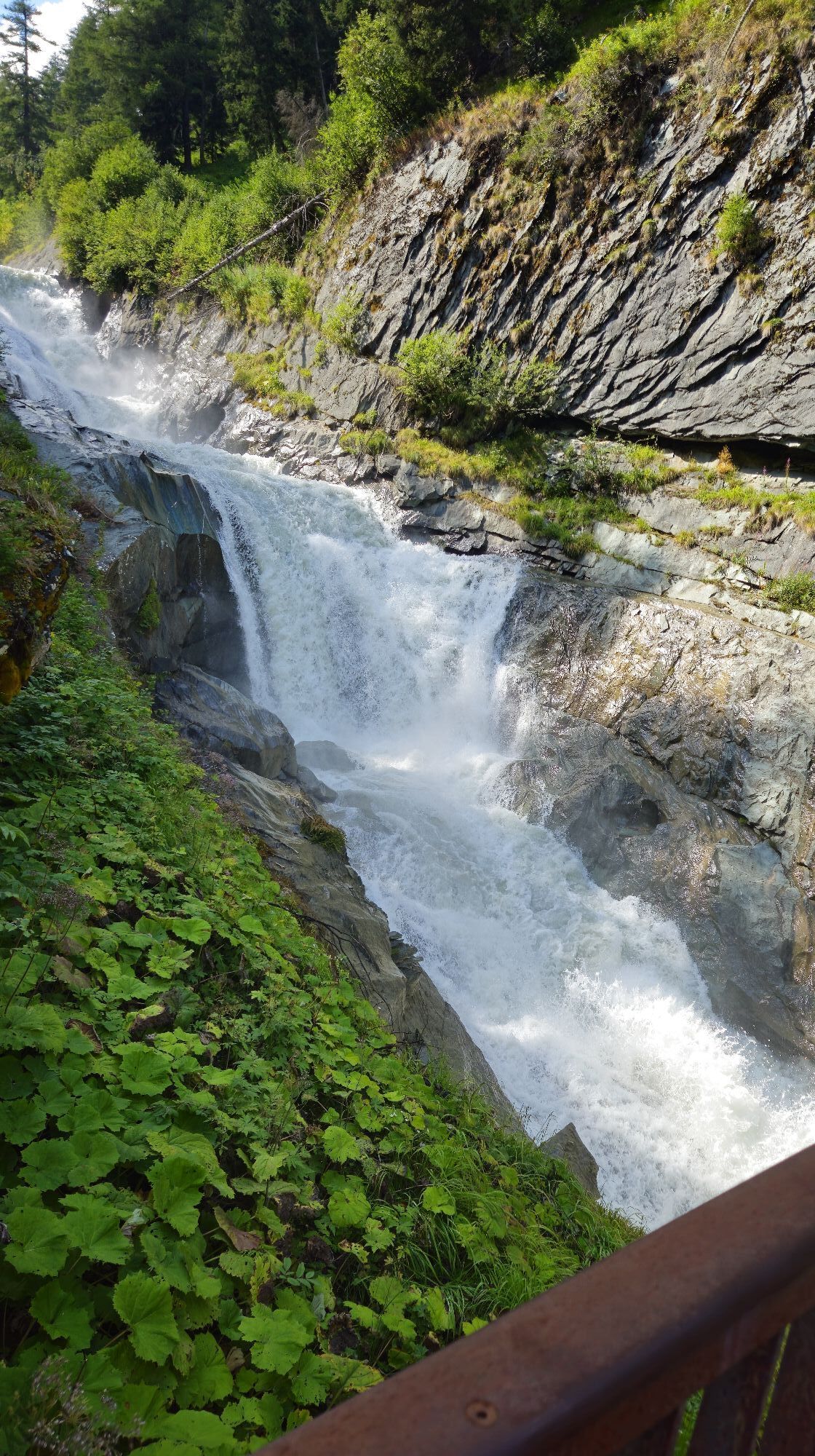
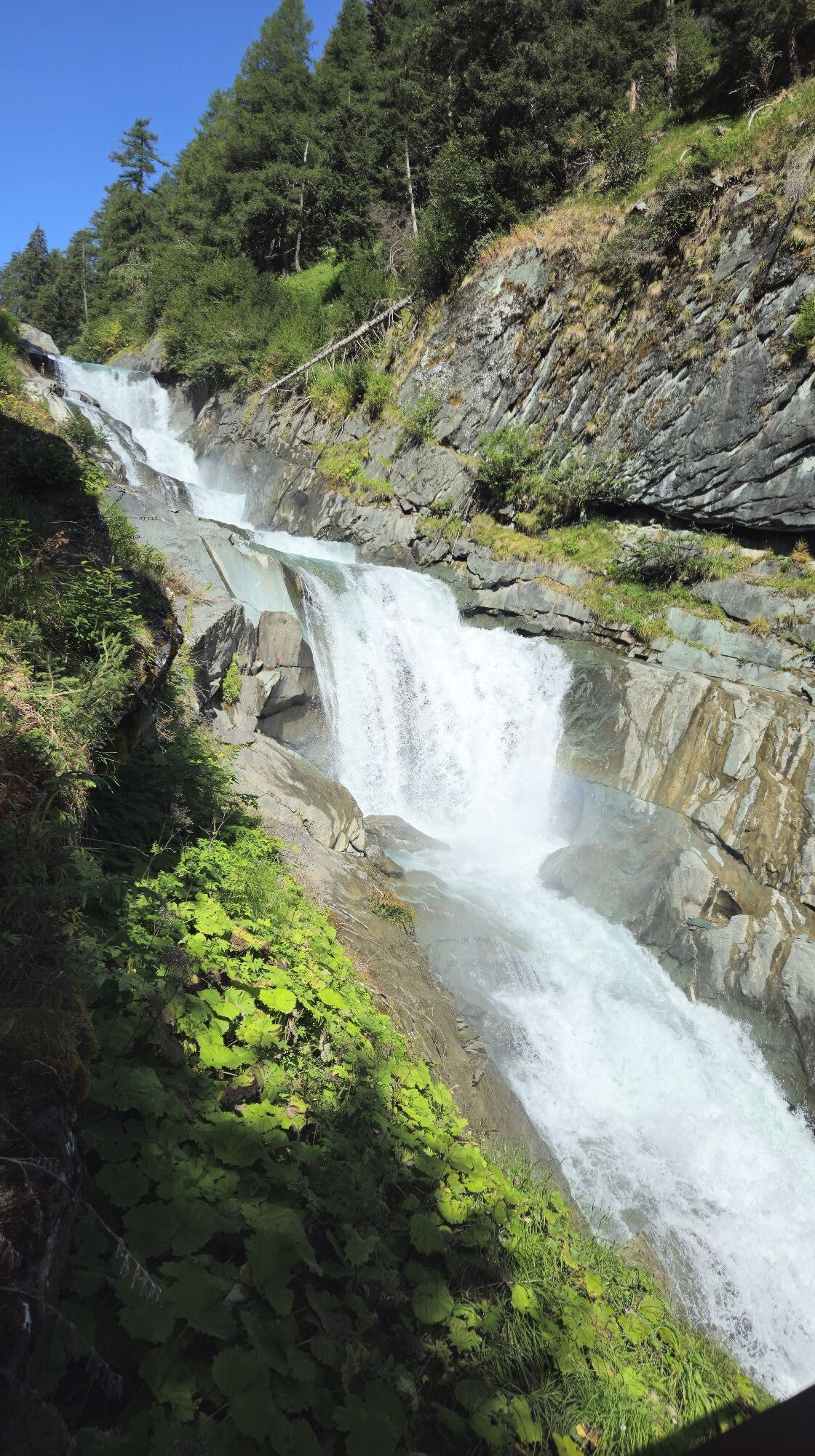
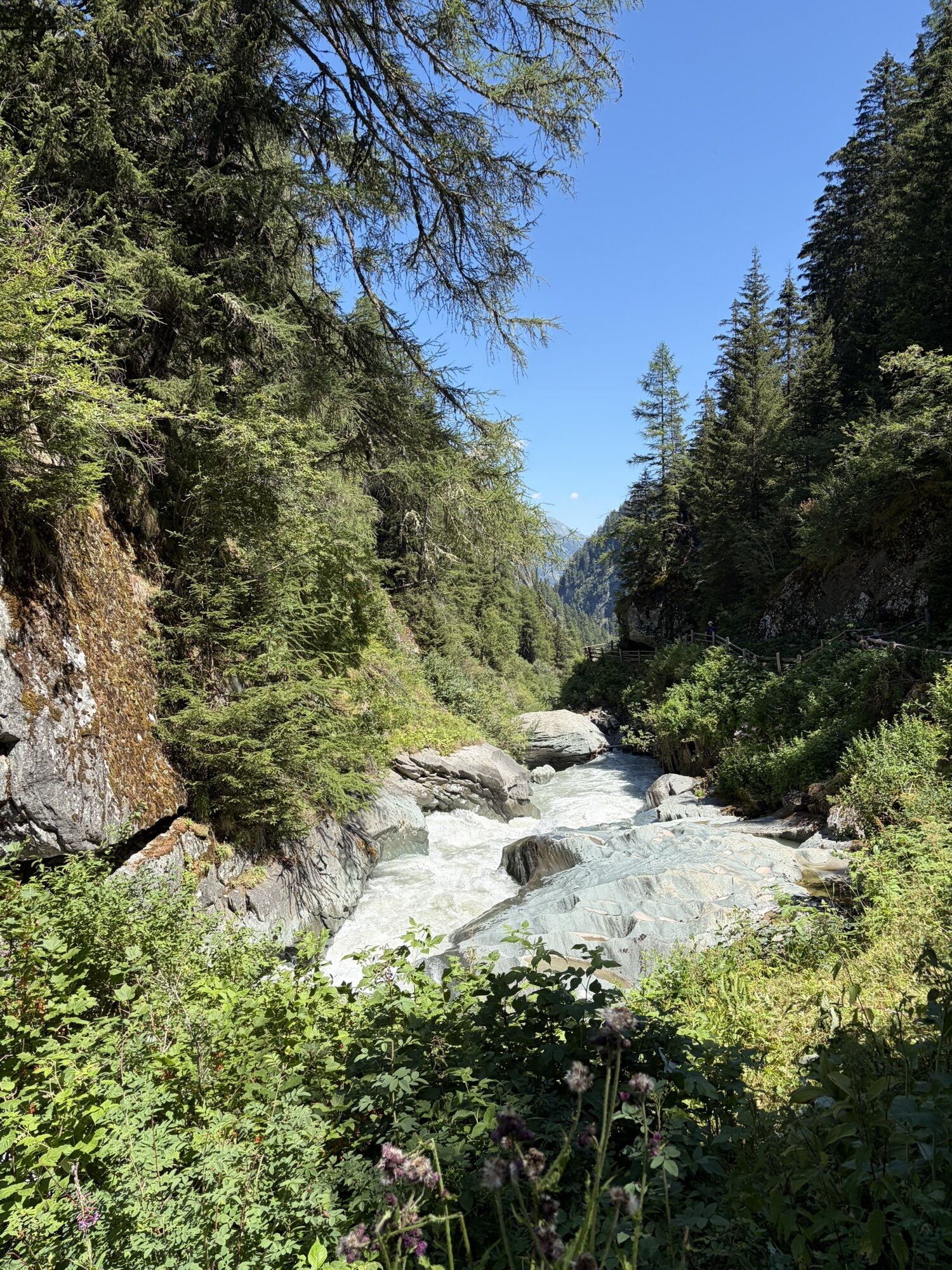
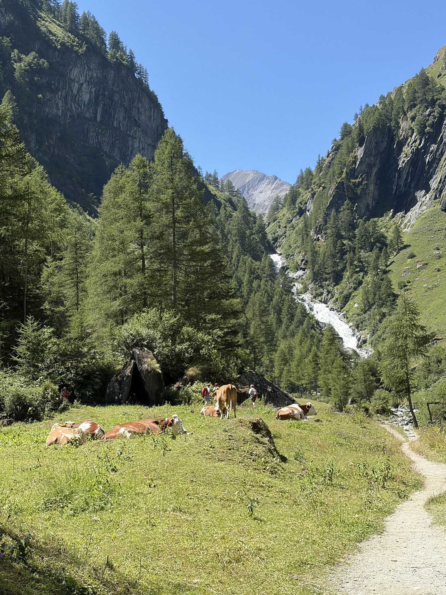
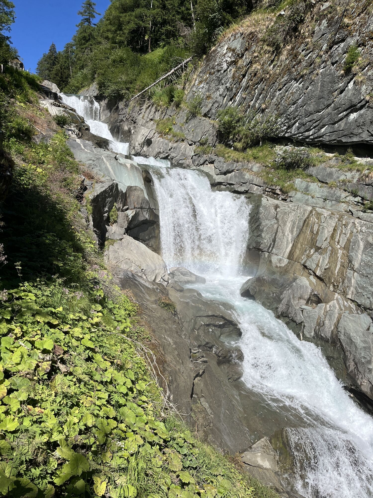
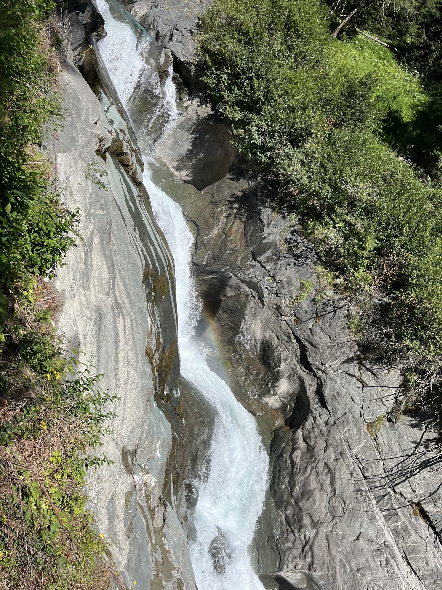
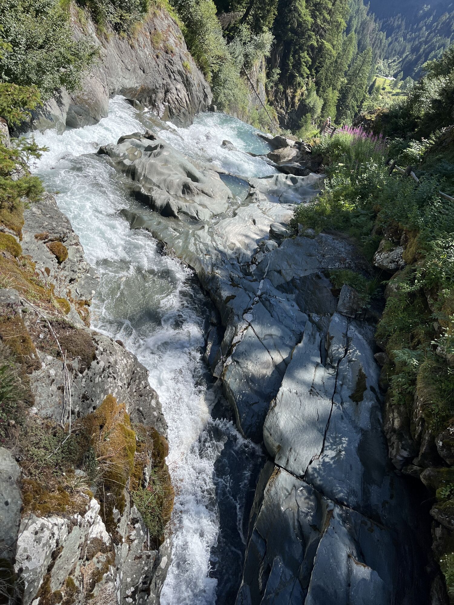
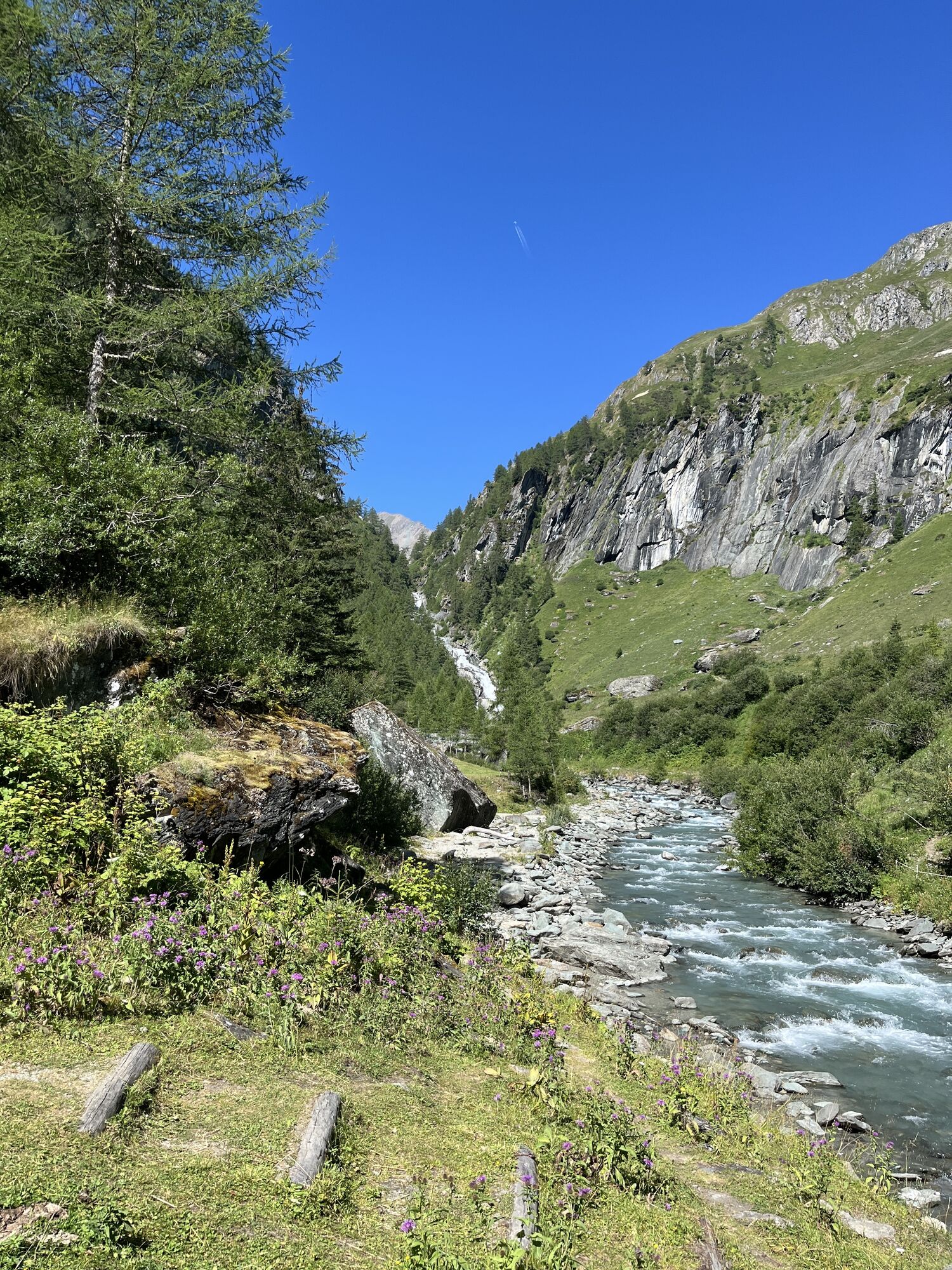
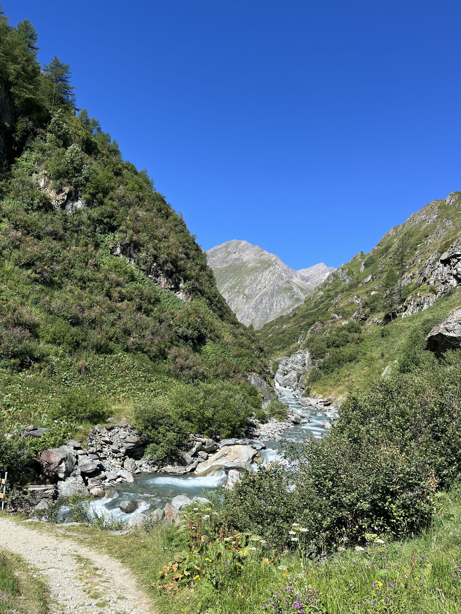
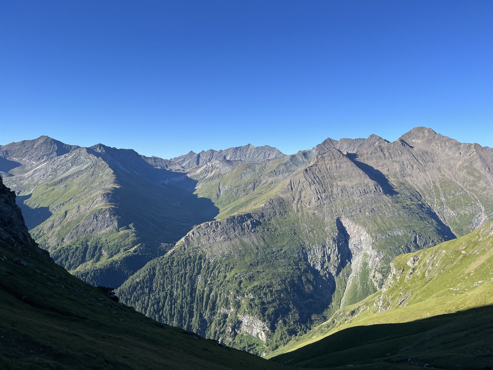
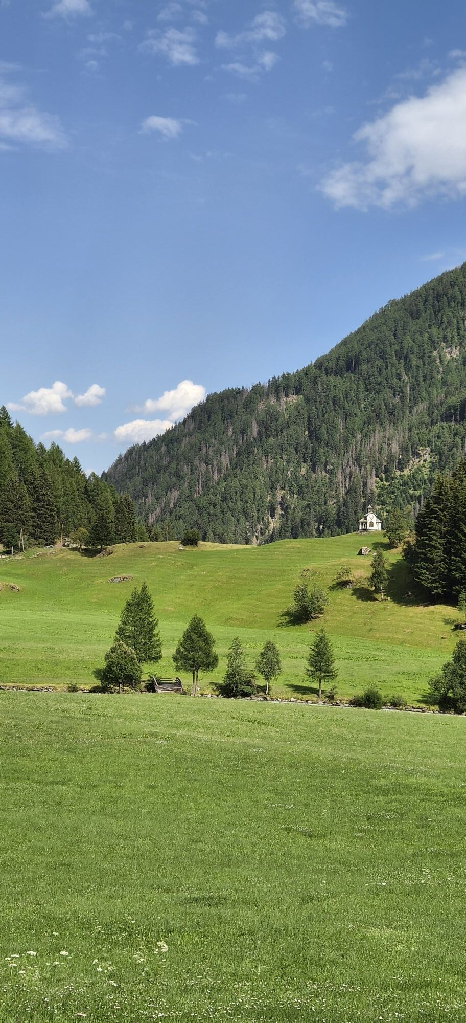
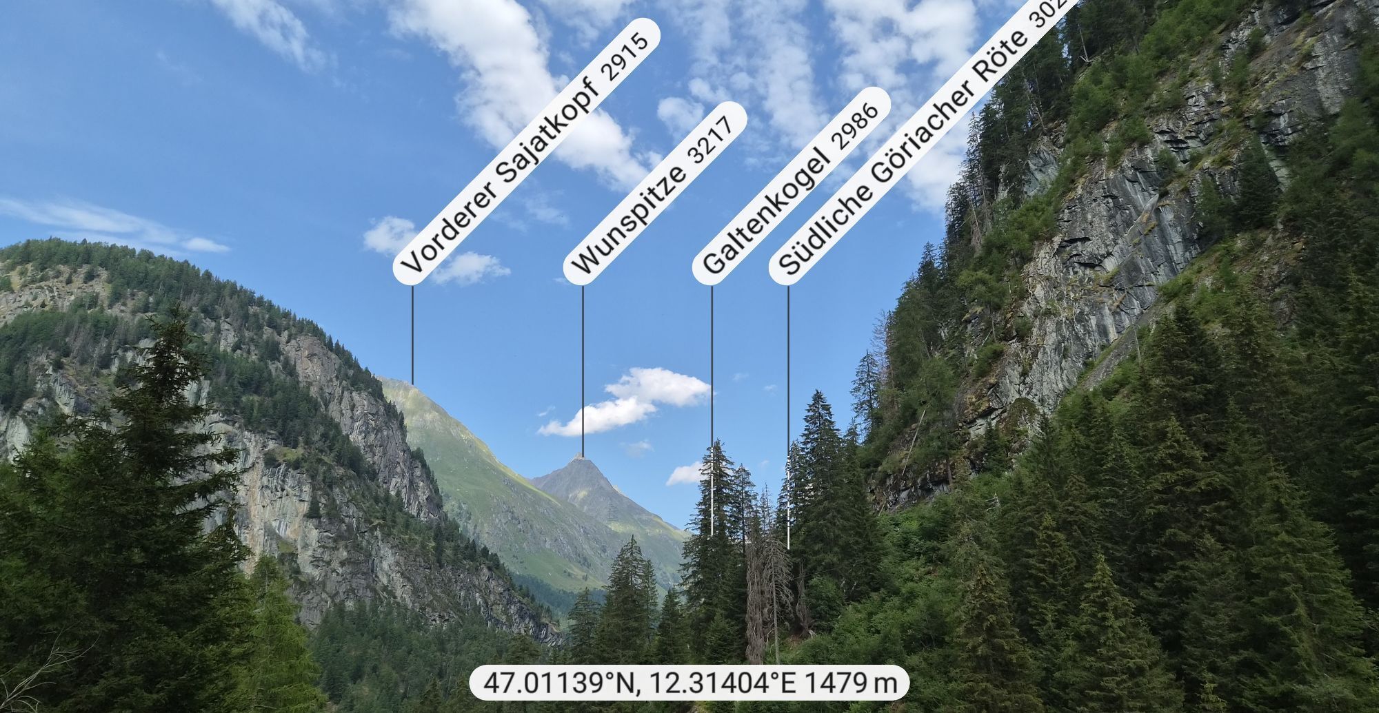
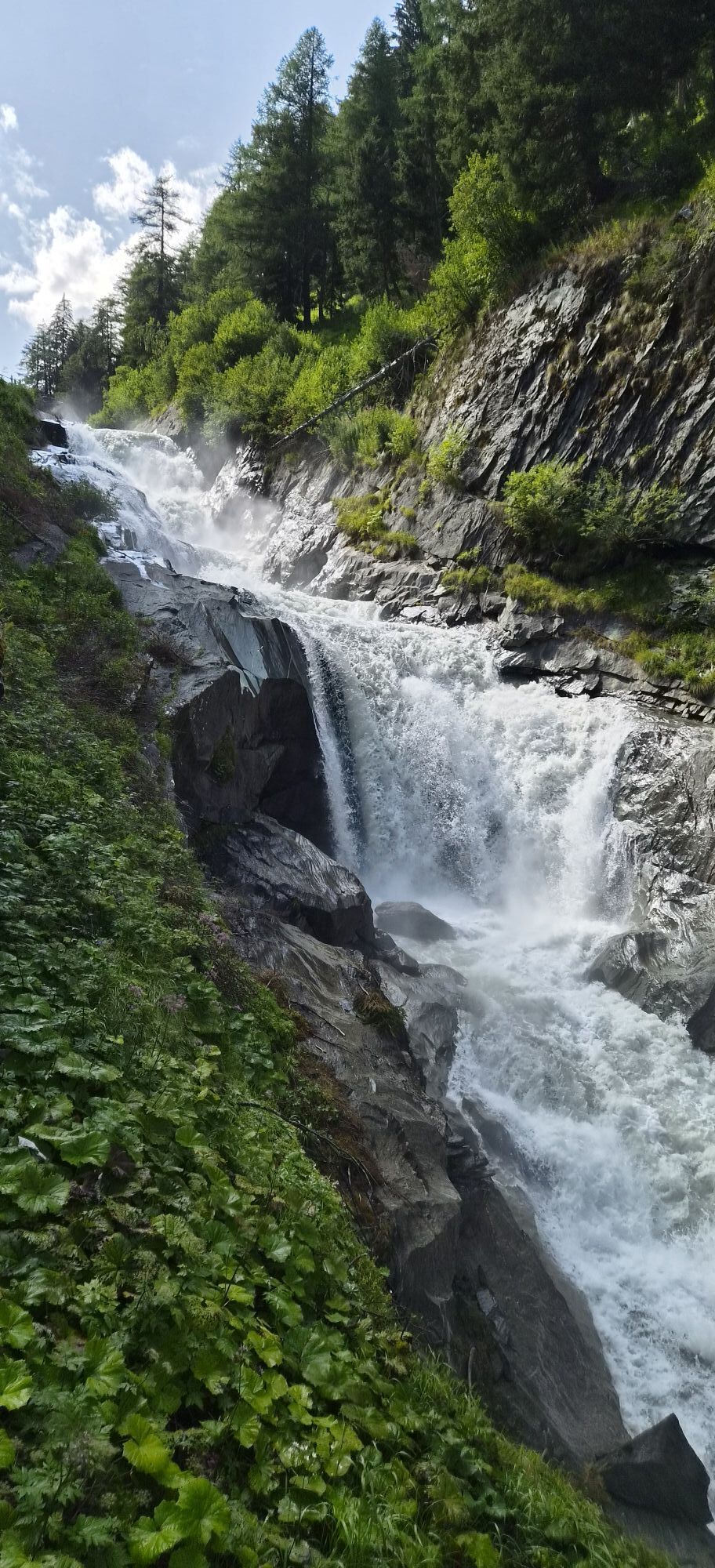
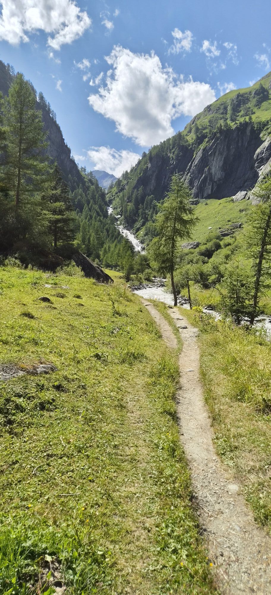
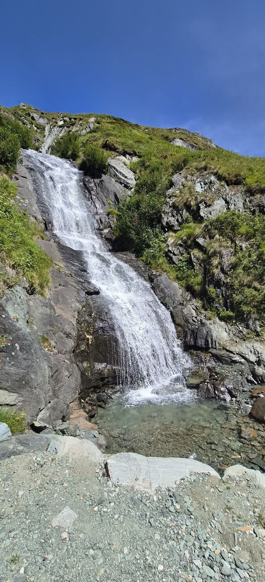
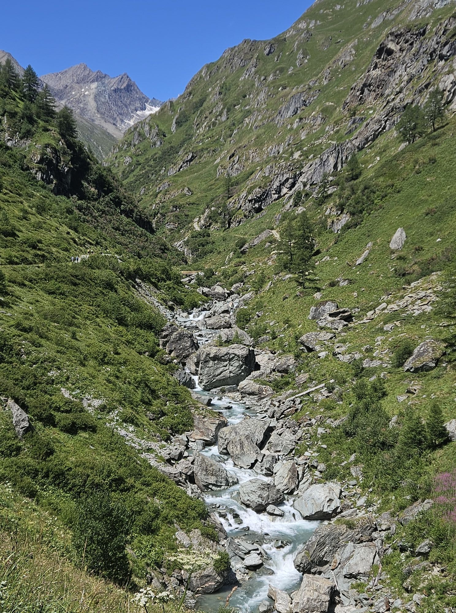
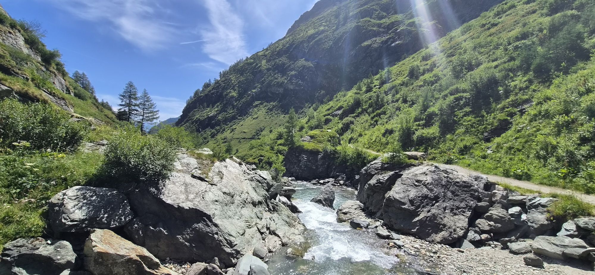
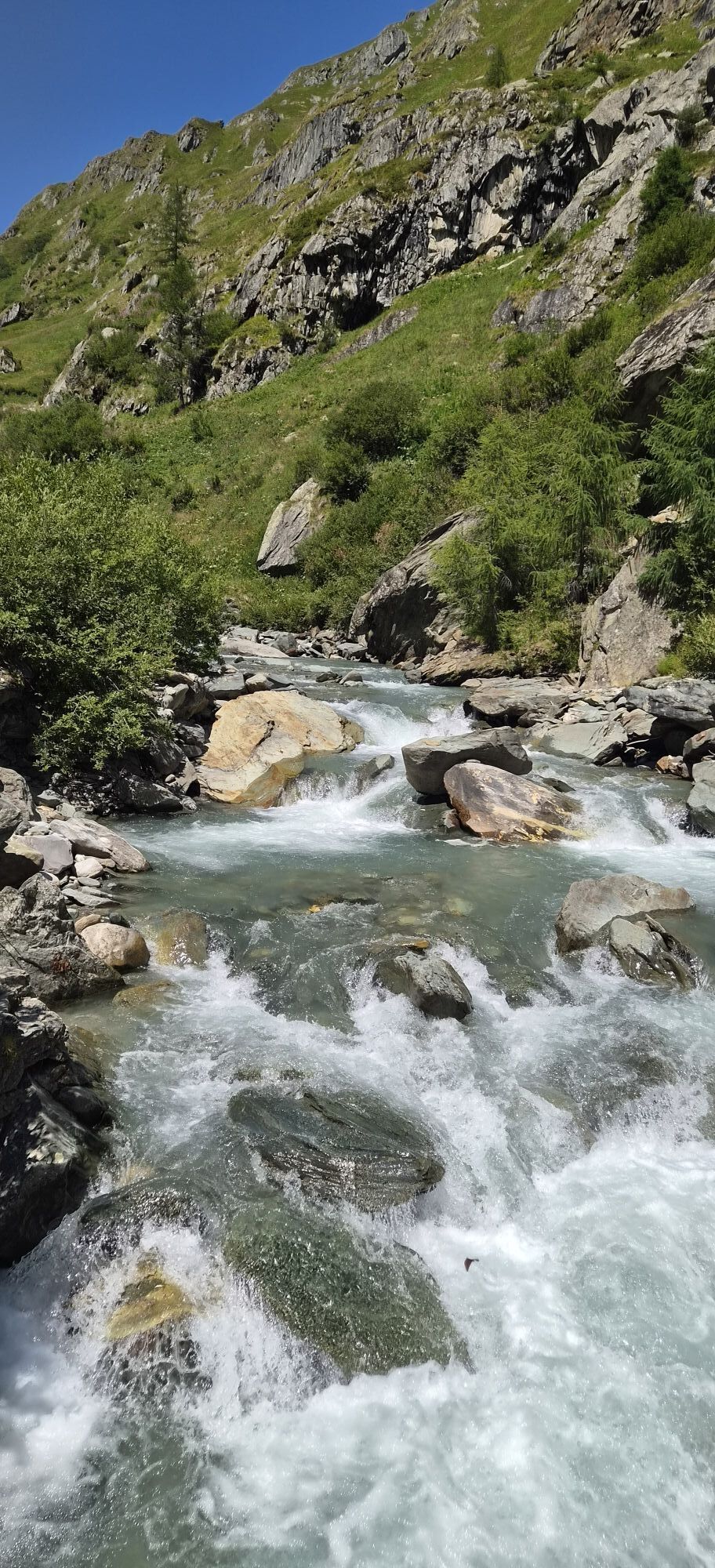
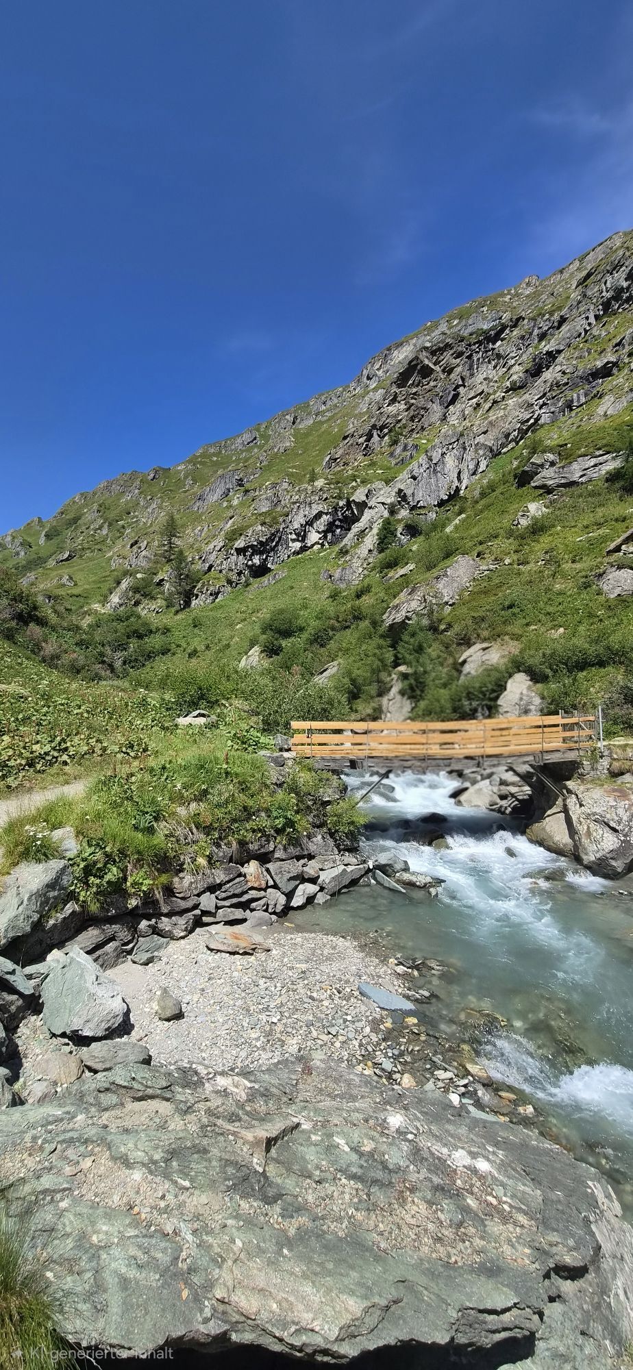
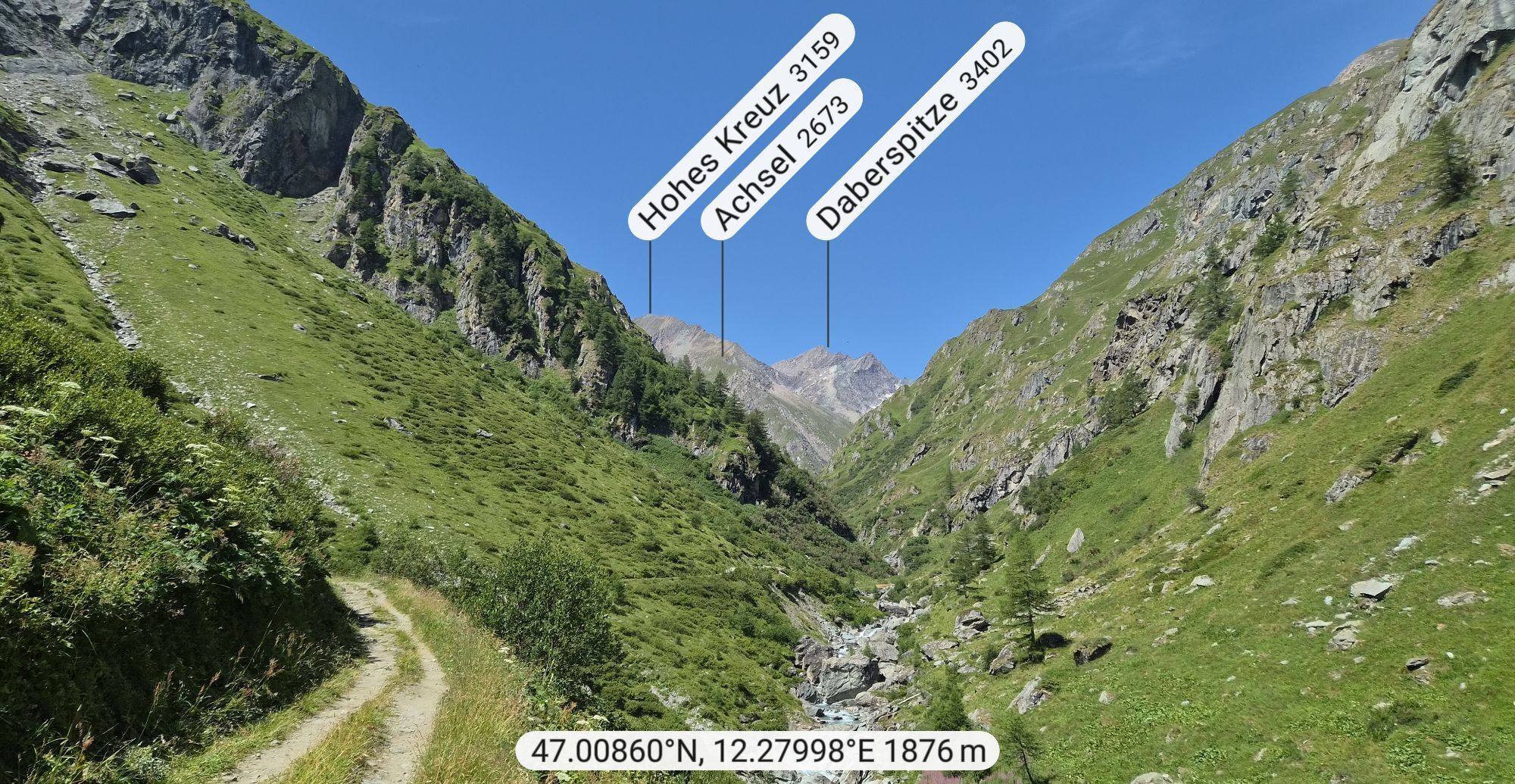
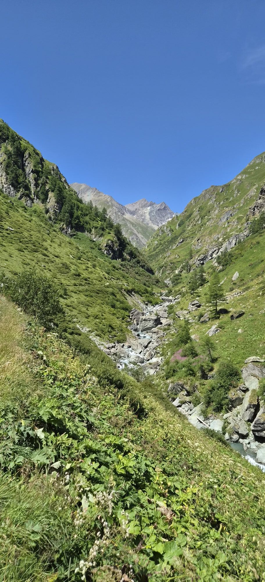
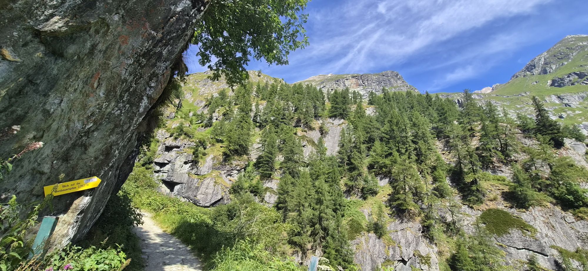
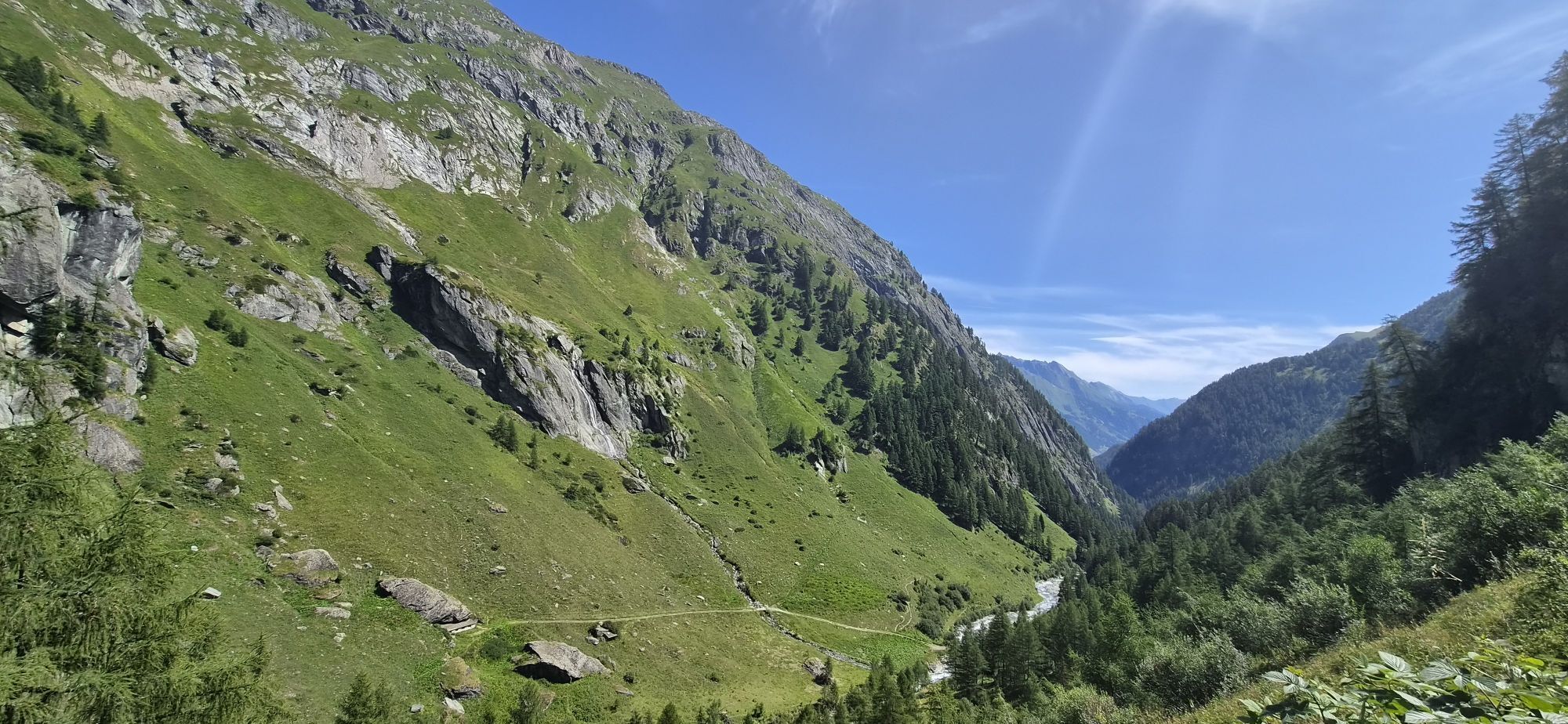
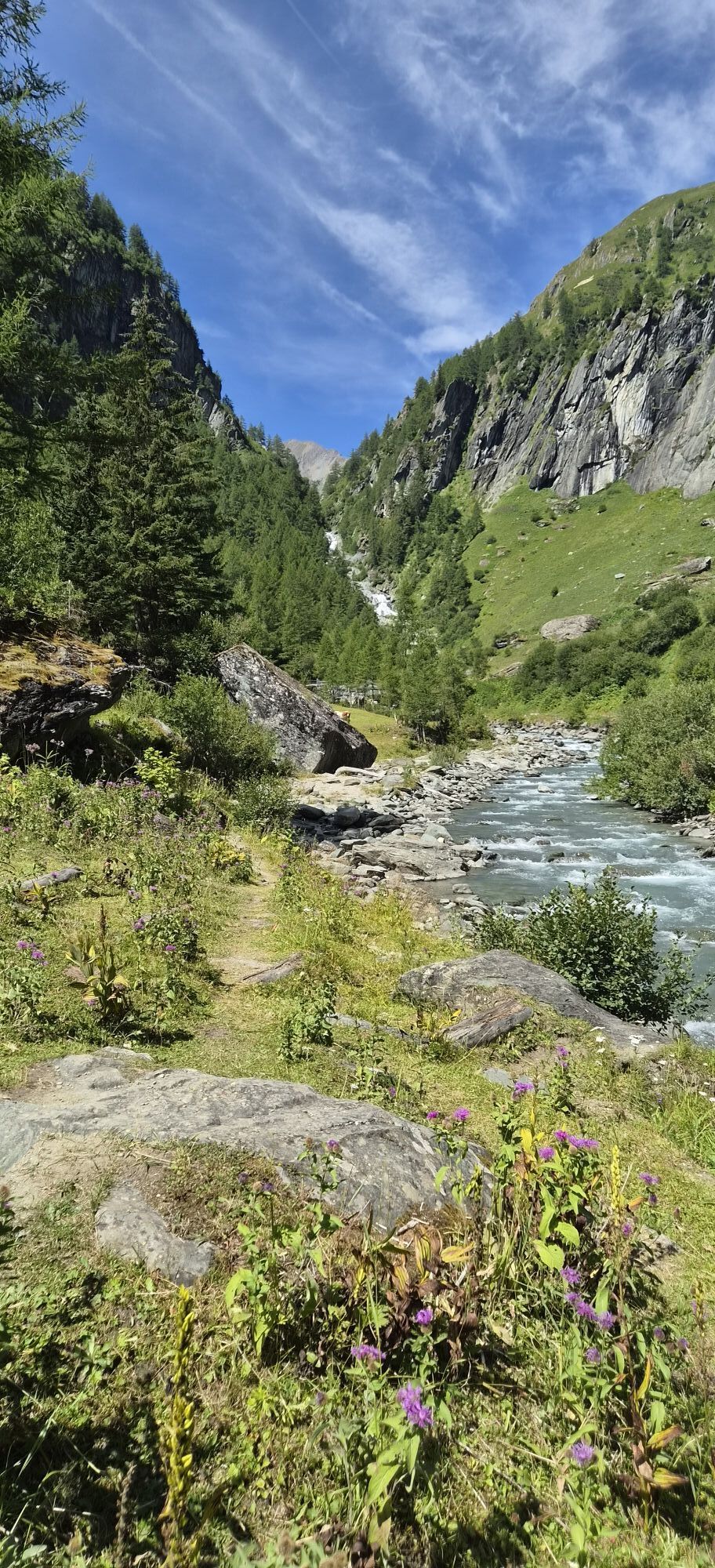
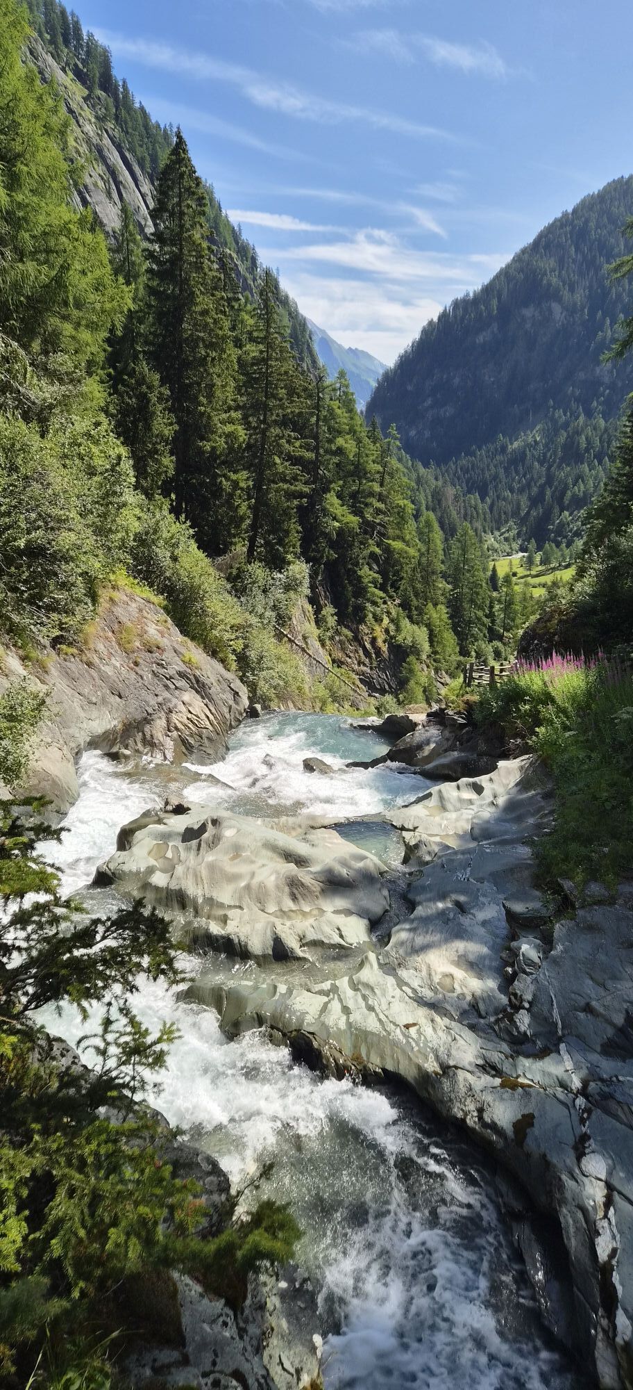
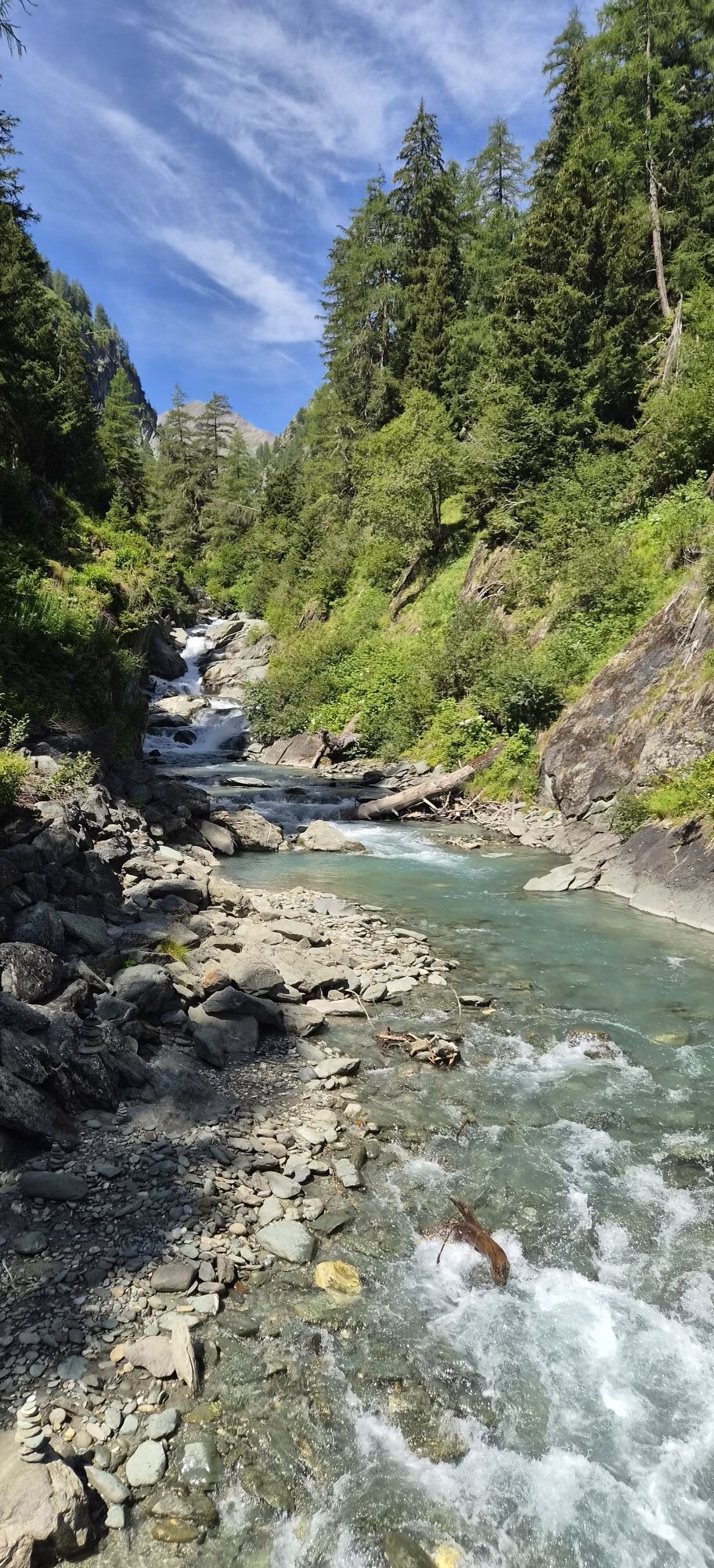
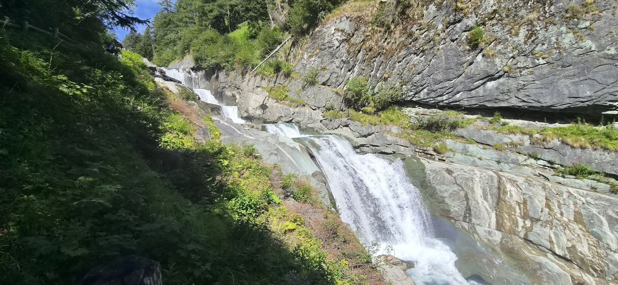
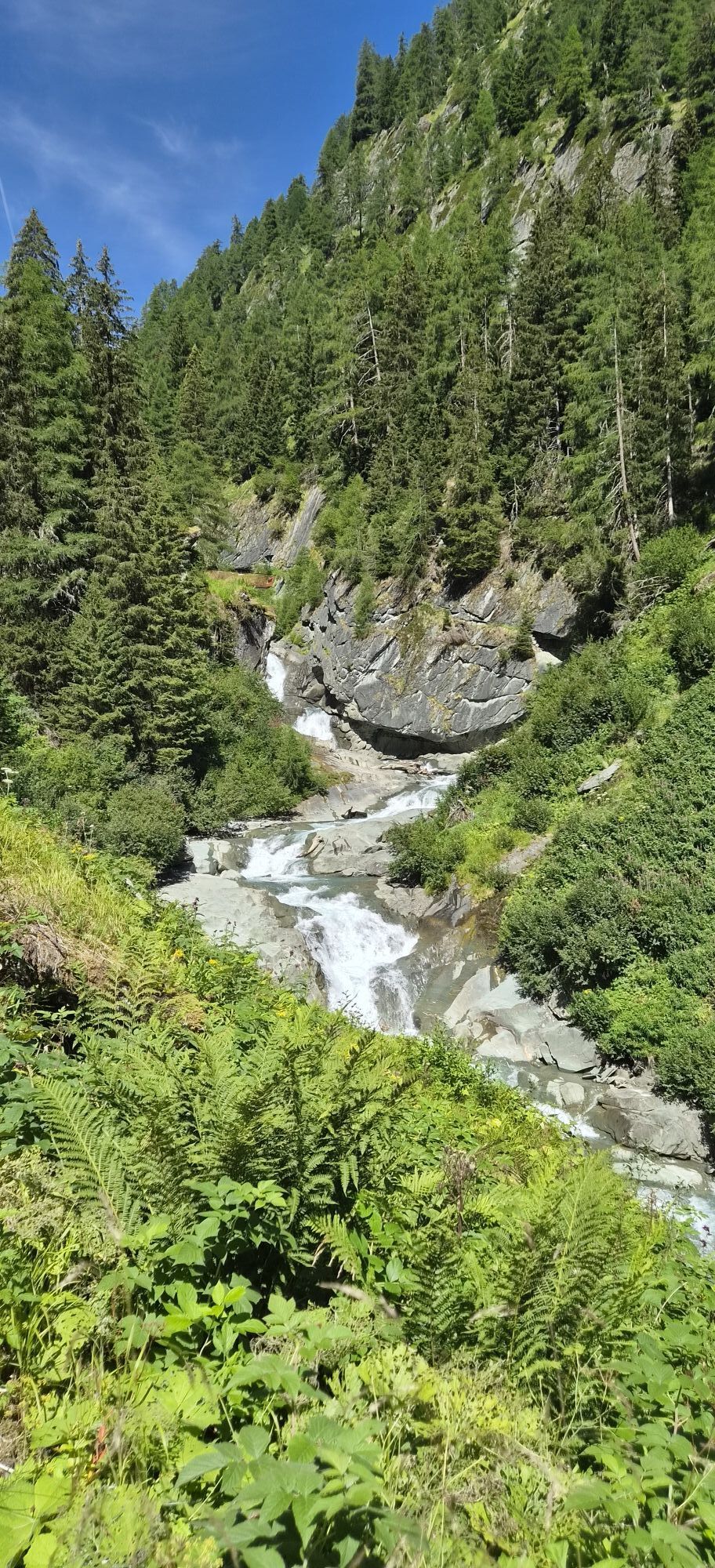
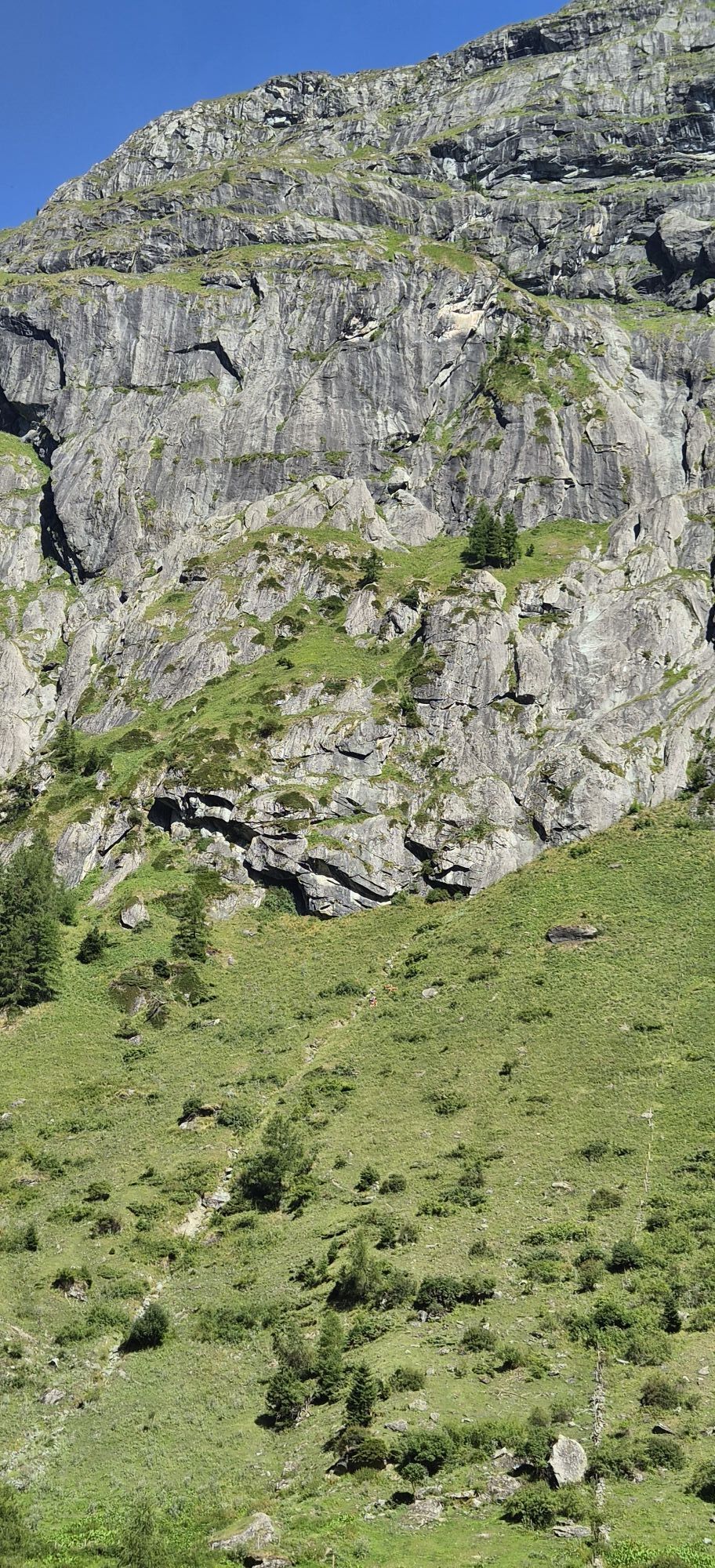
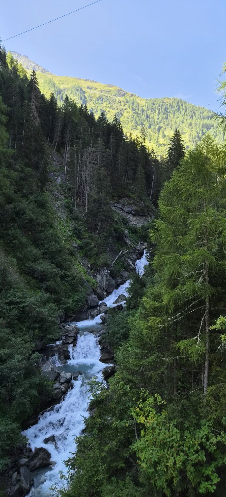
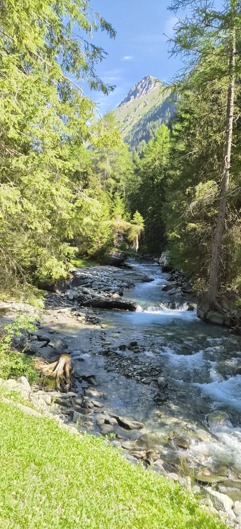
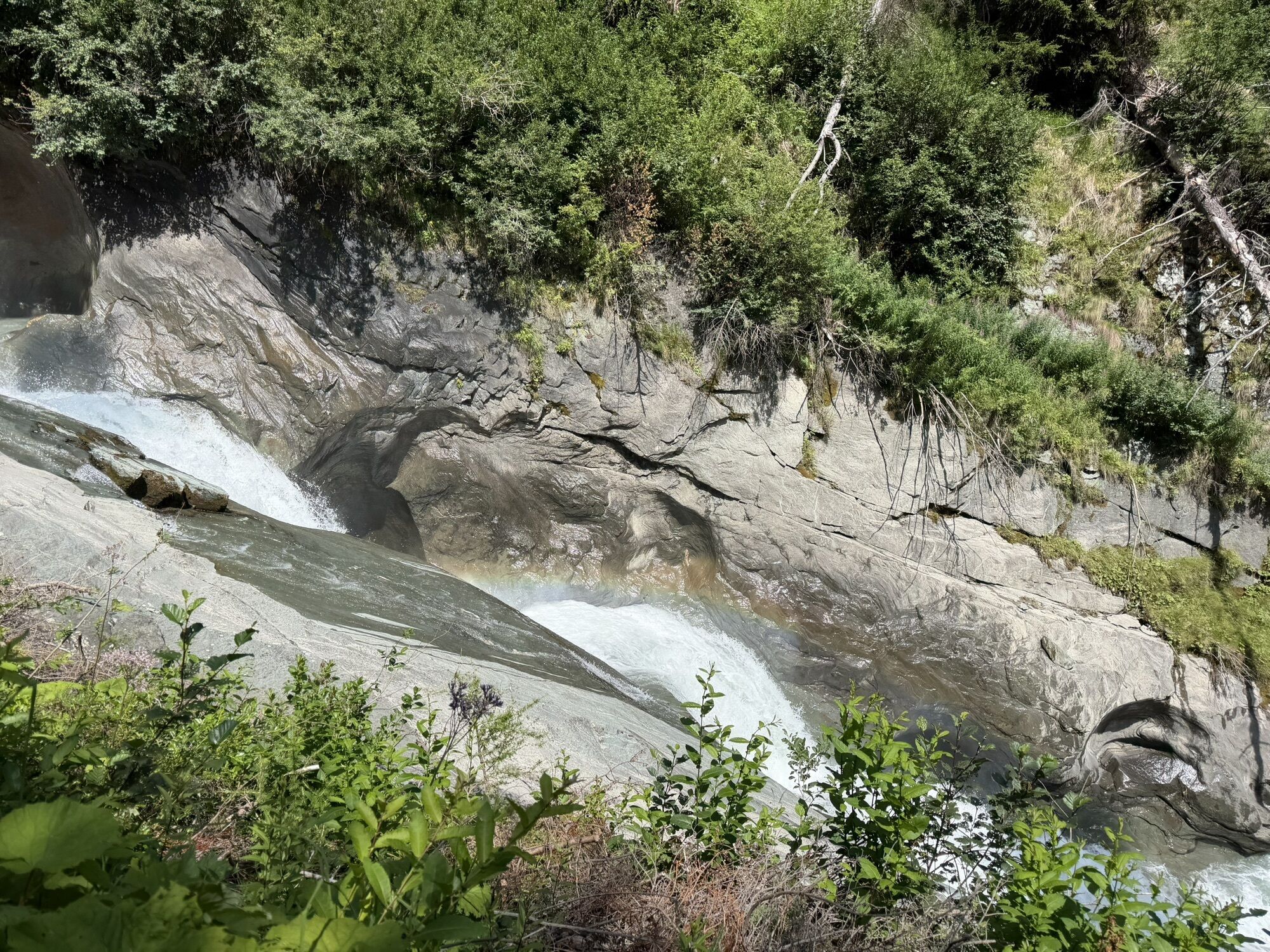
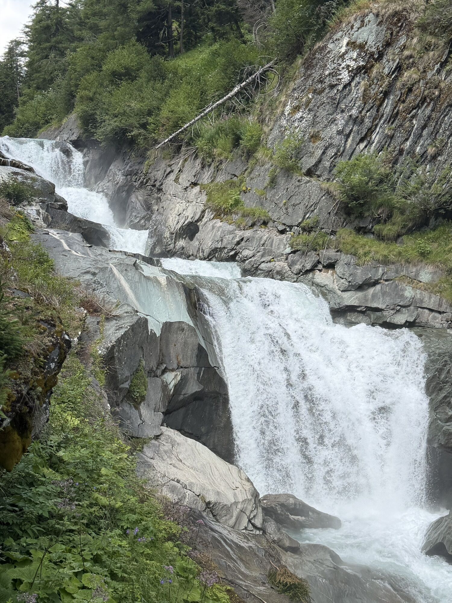
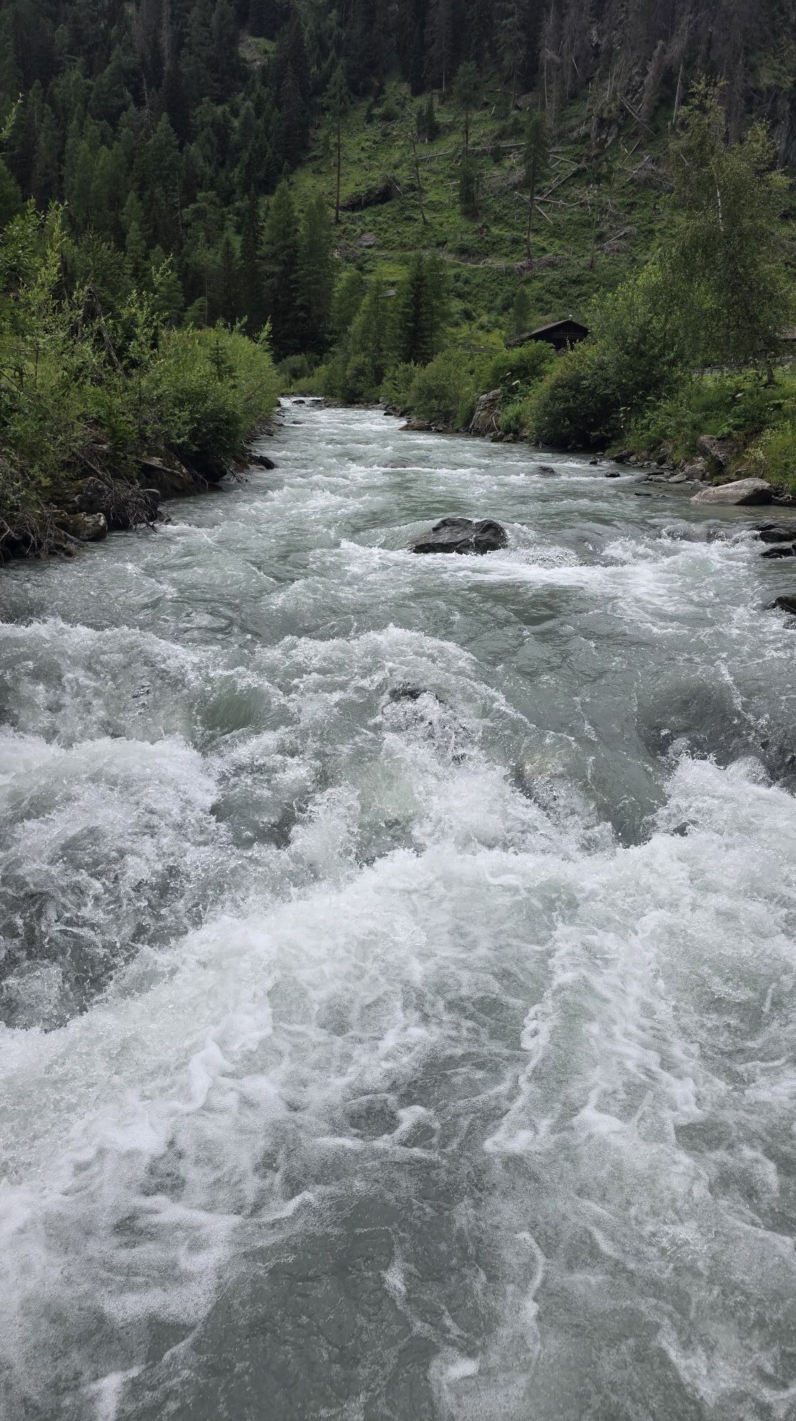
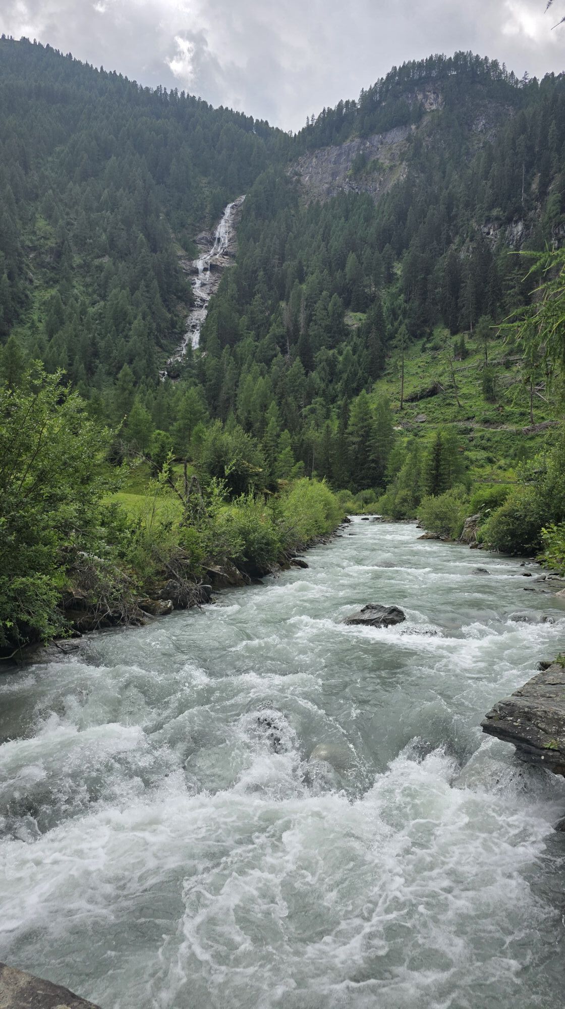
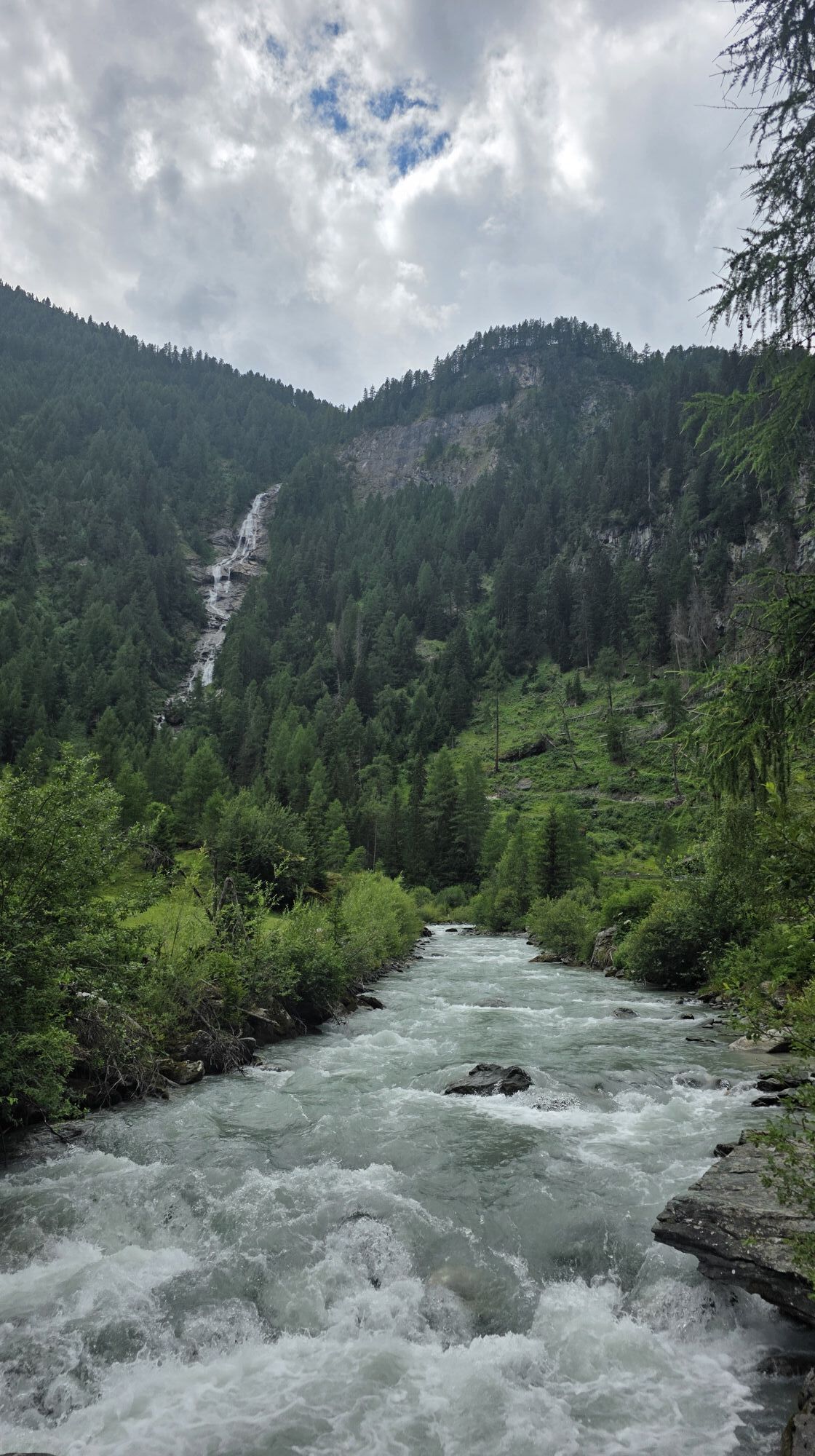
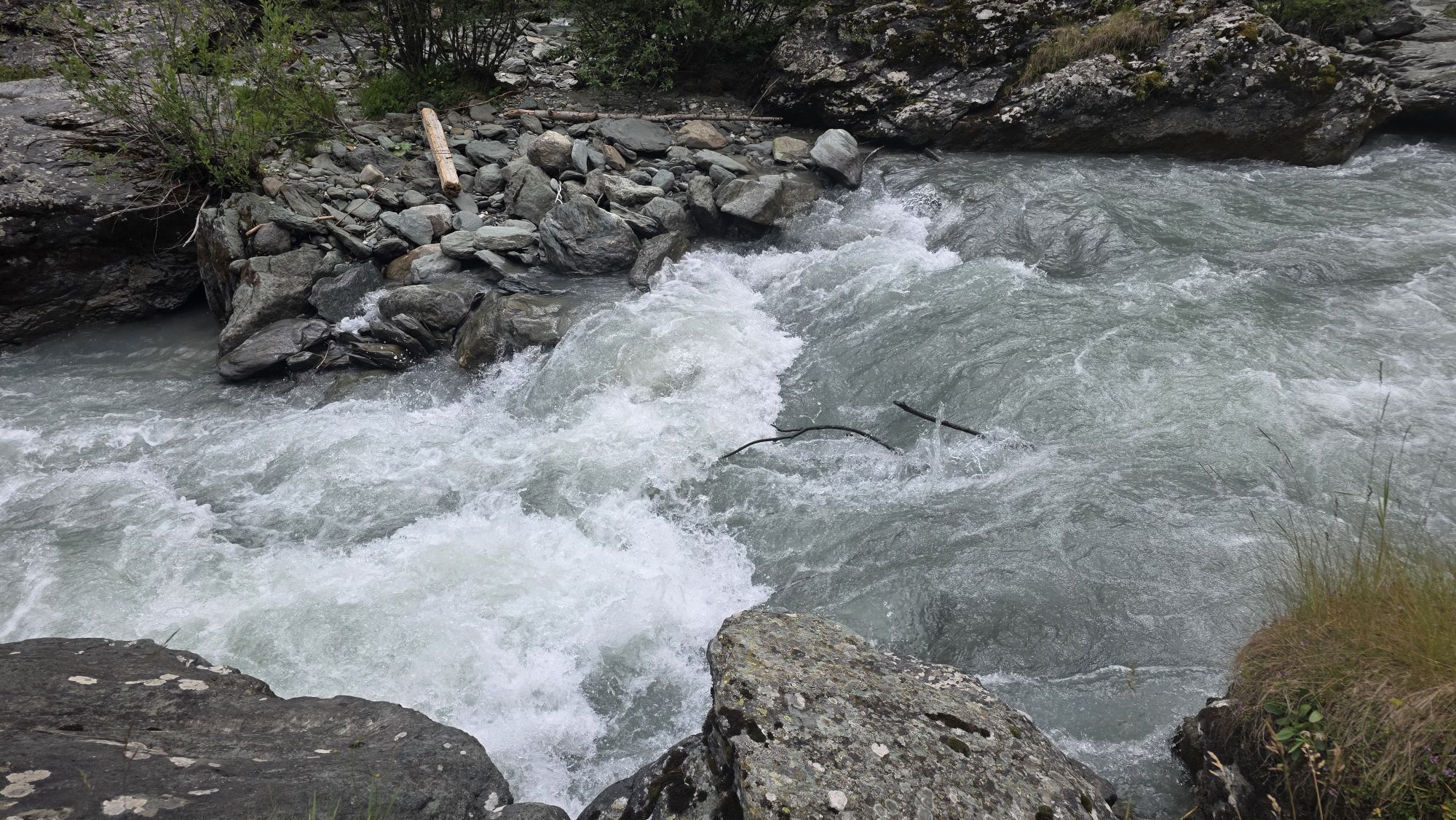
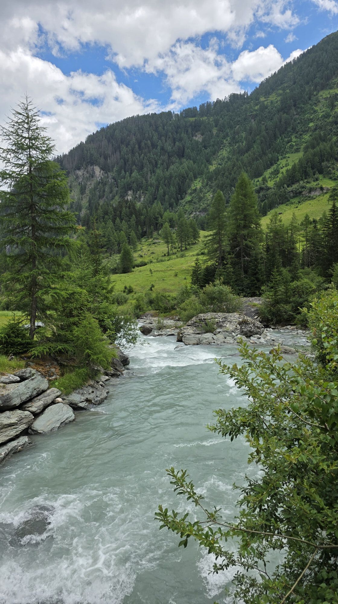
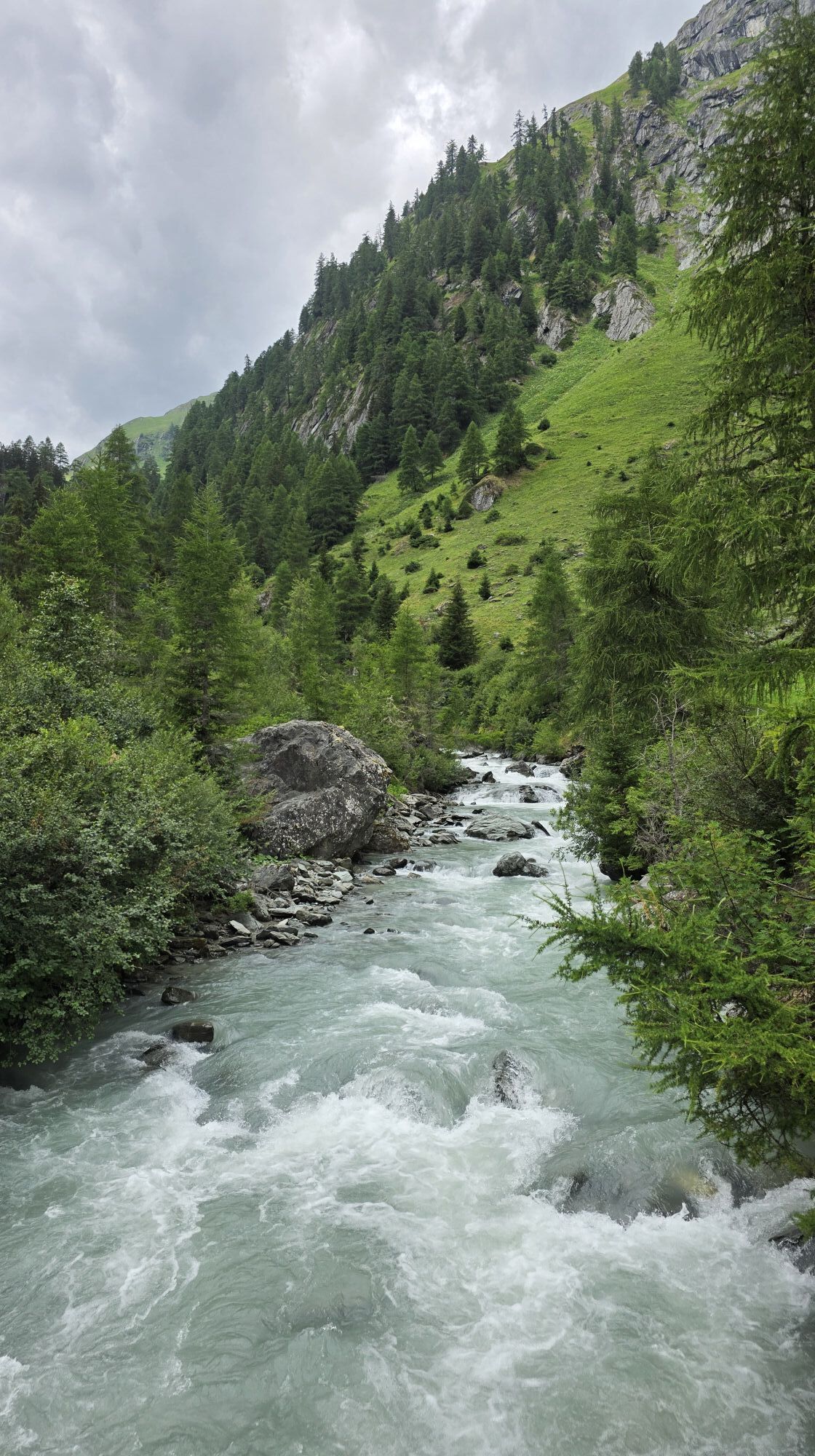
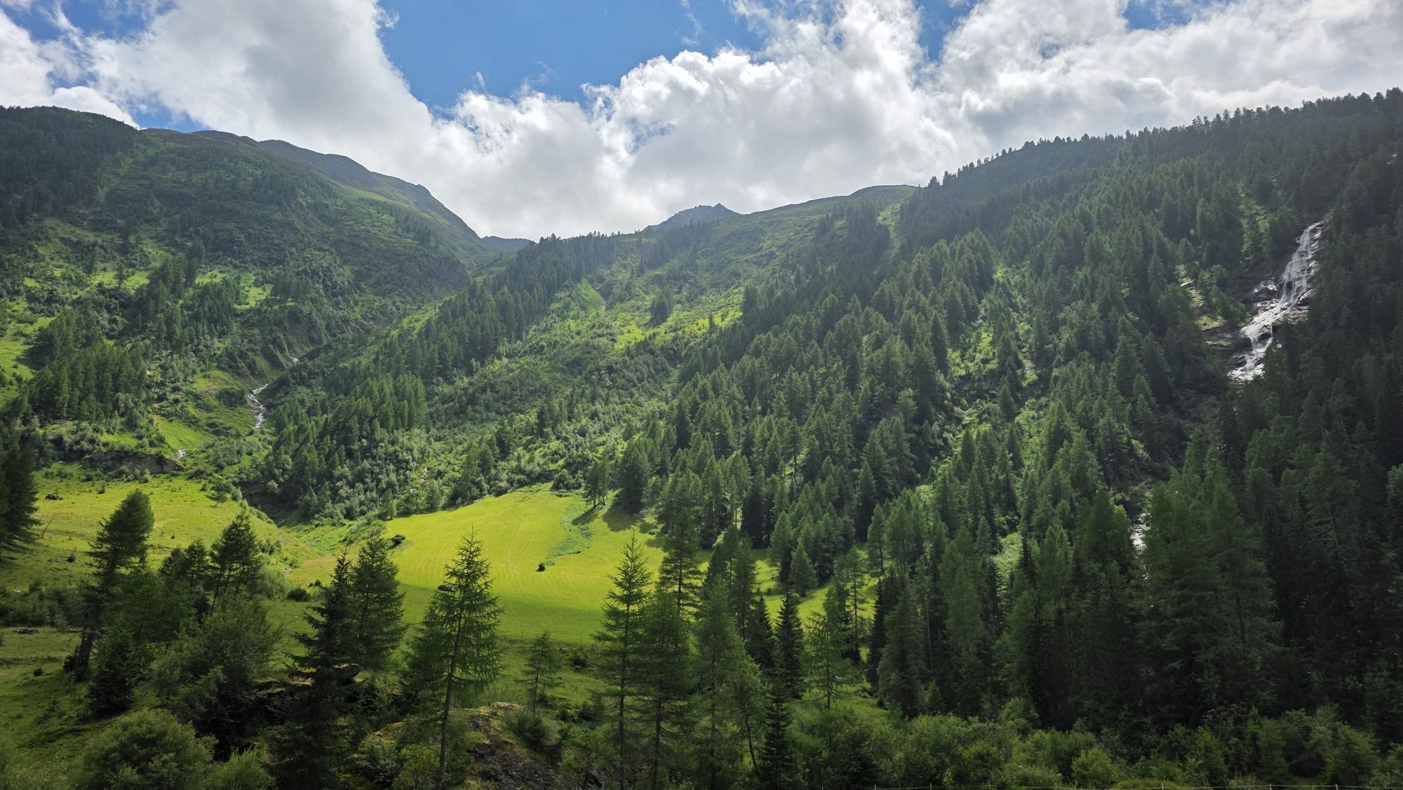
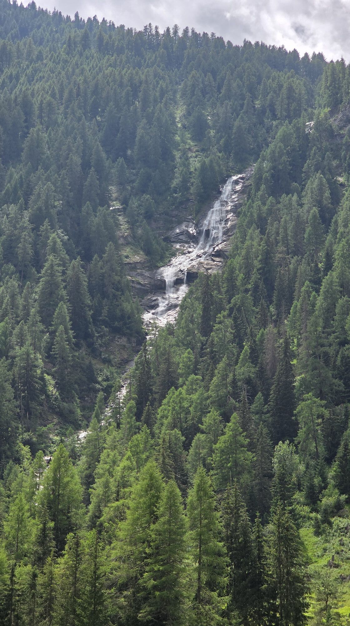
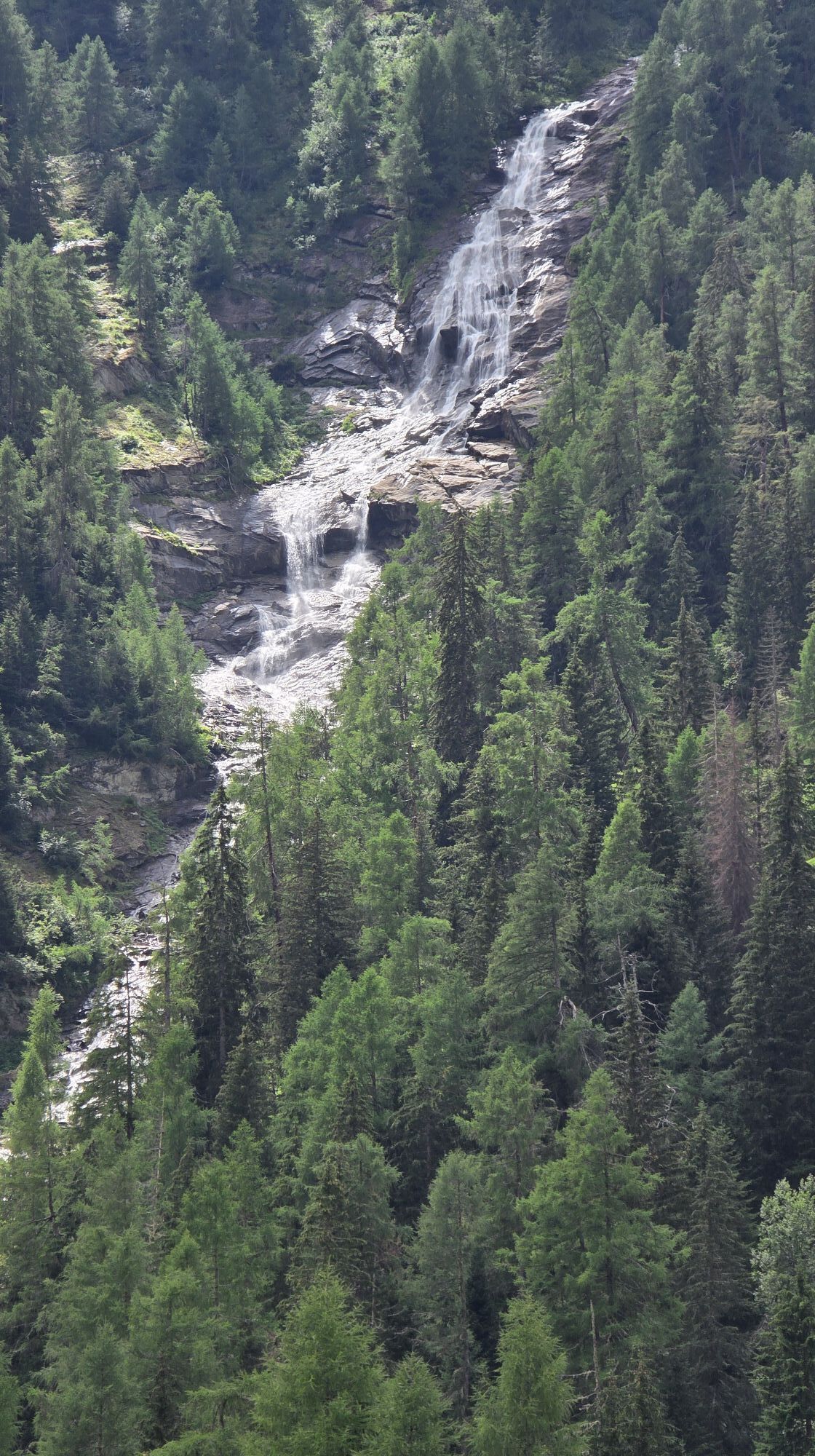
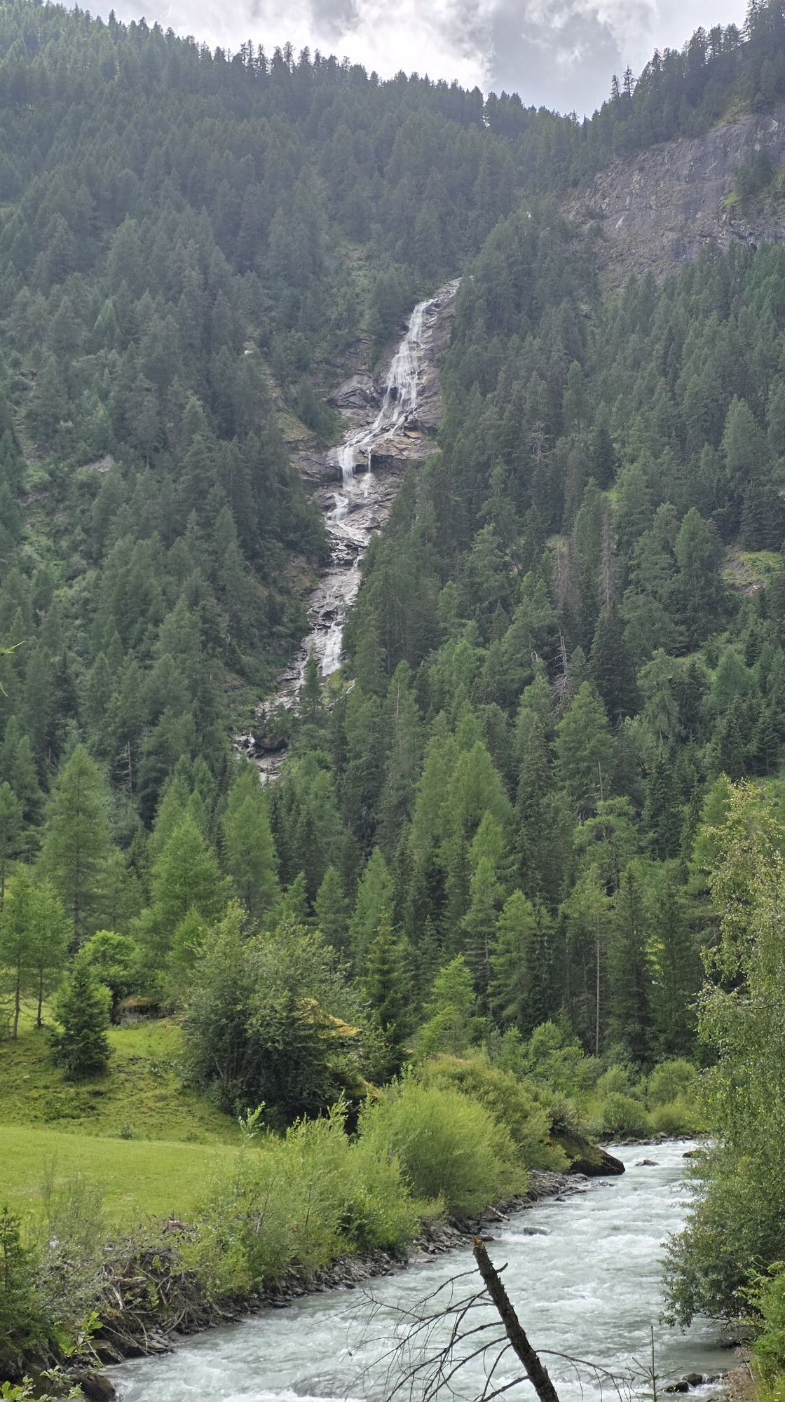
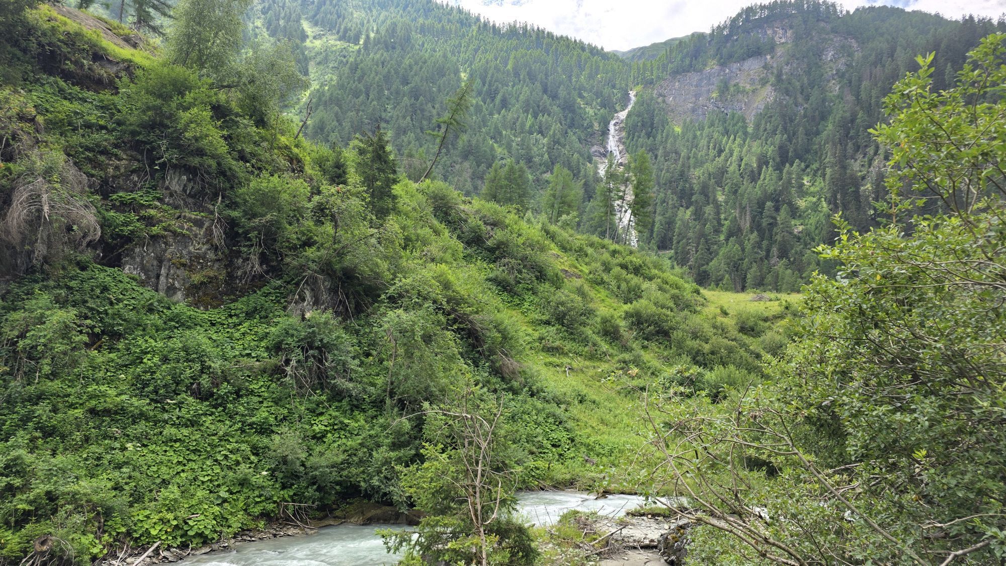
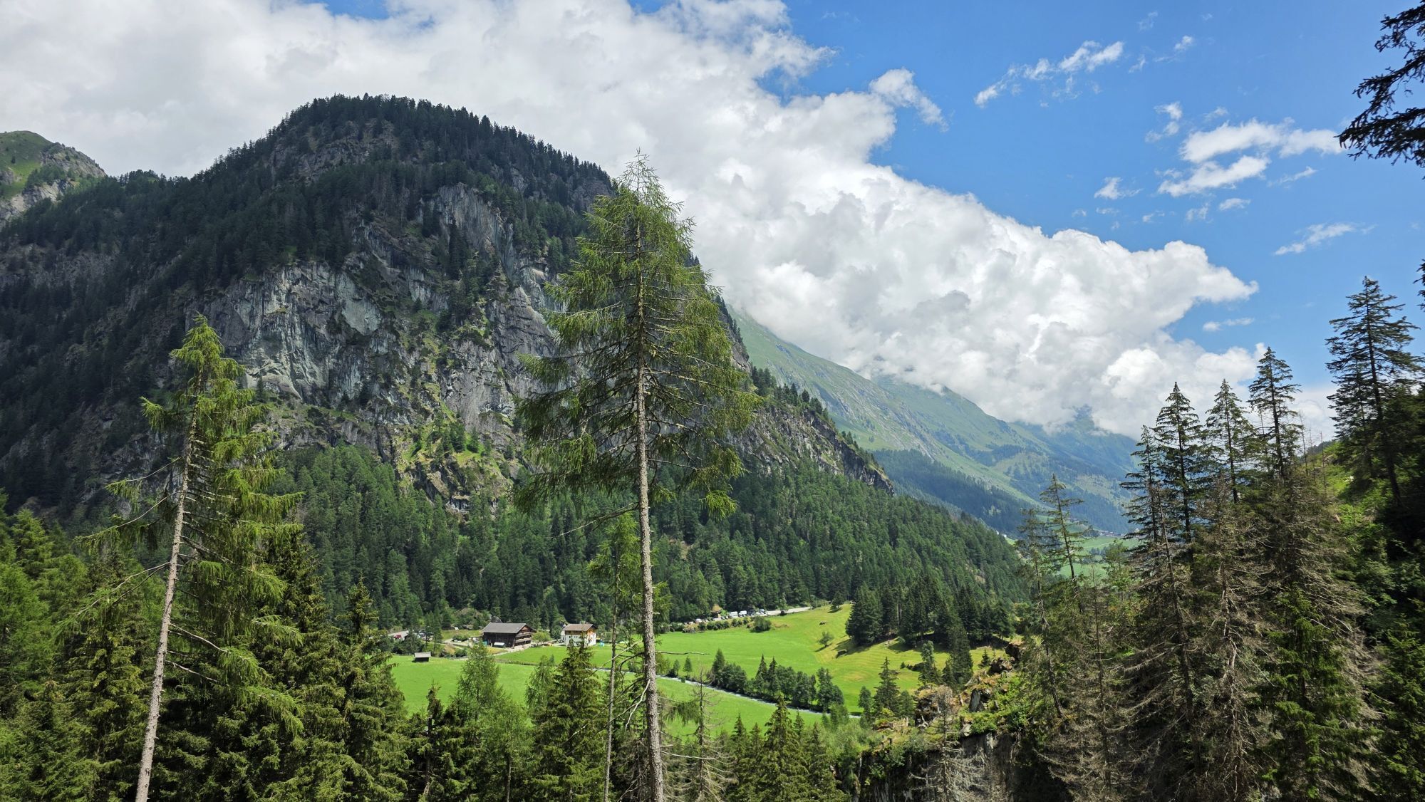
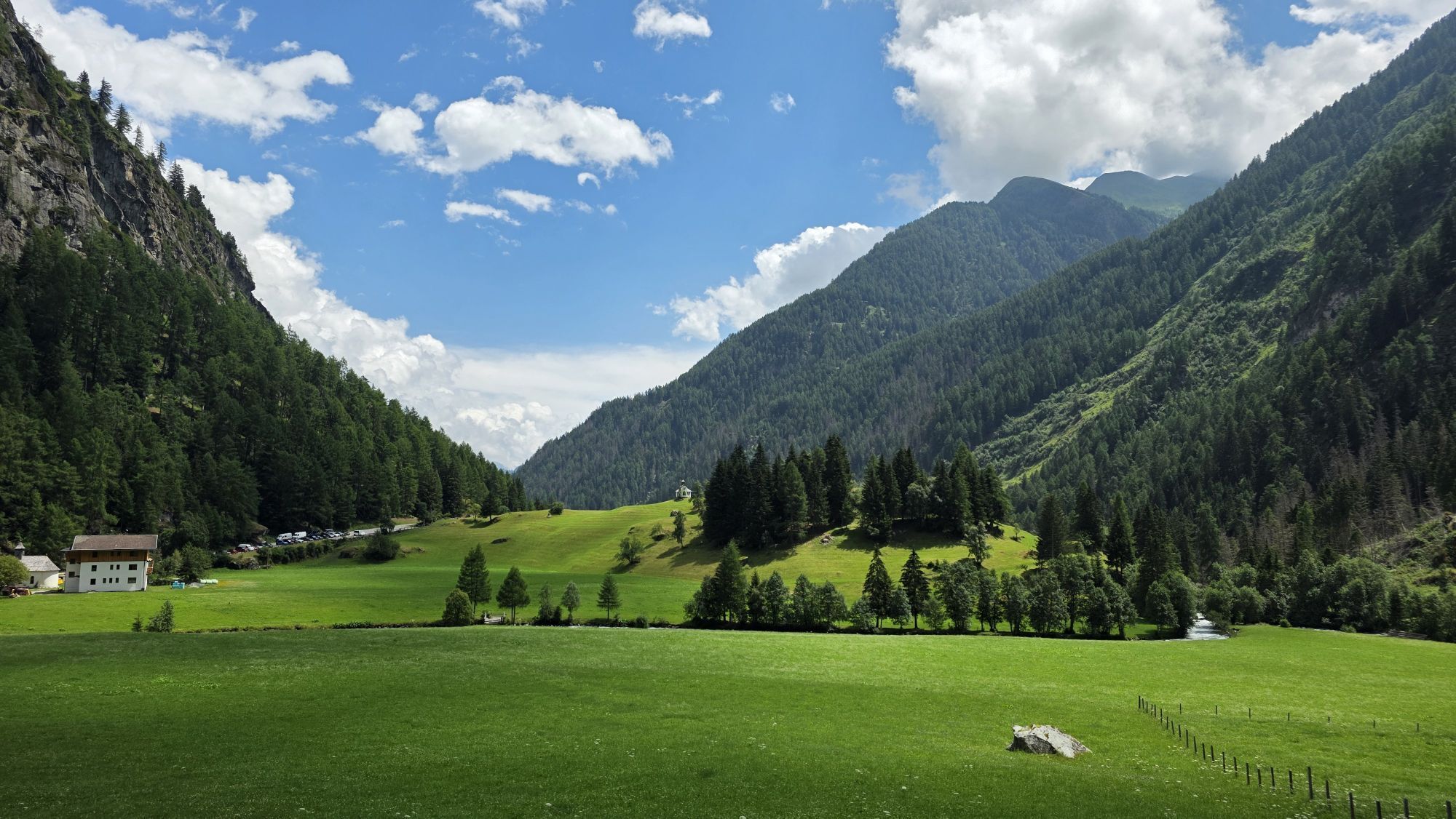
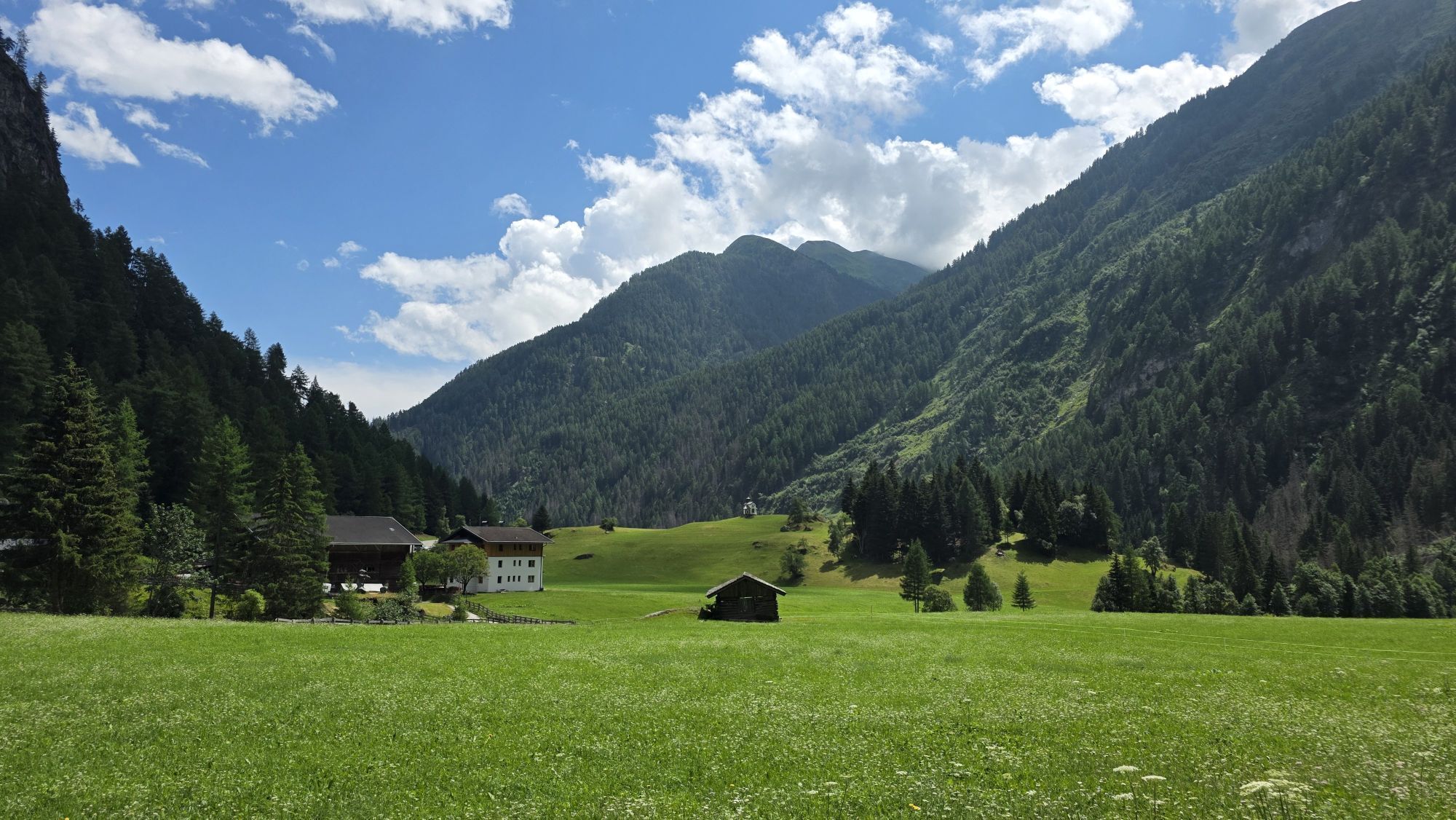
The trail leads from Ströden to the Pebell or Islitzeralm, and from there along the Umbalfälle waterfall path towards the Clarahütte. Leave the hiking trail 100 metres before the Reggenbach stream on a...
Popis
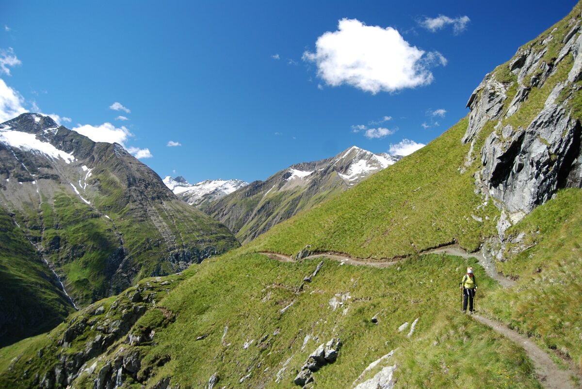
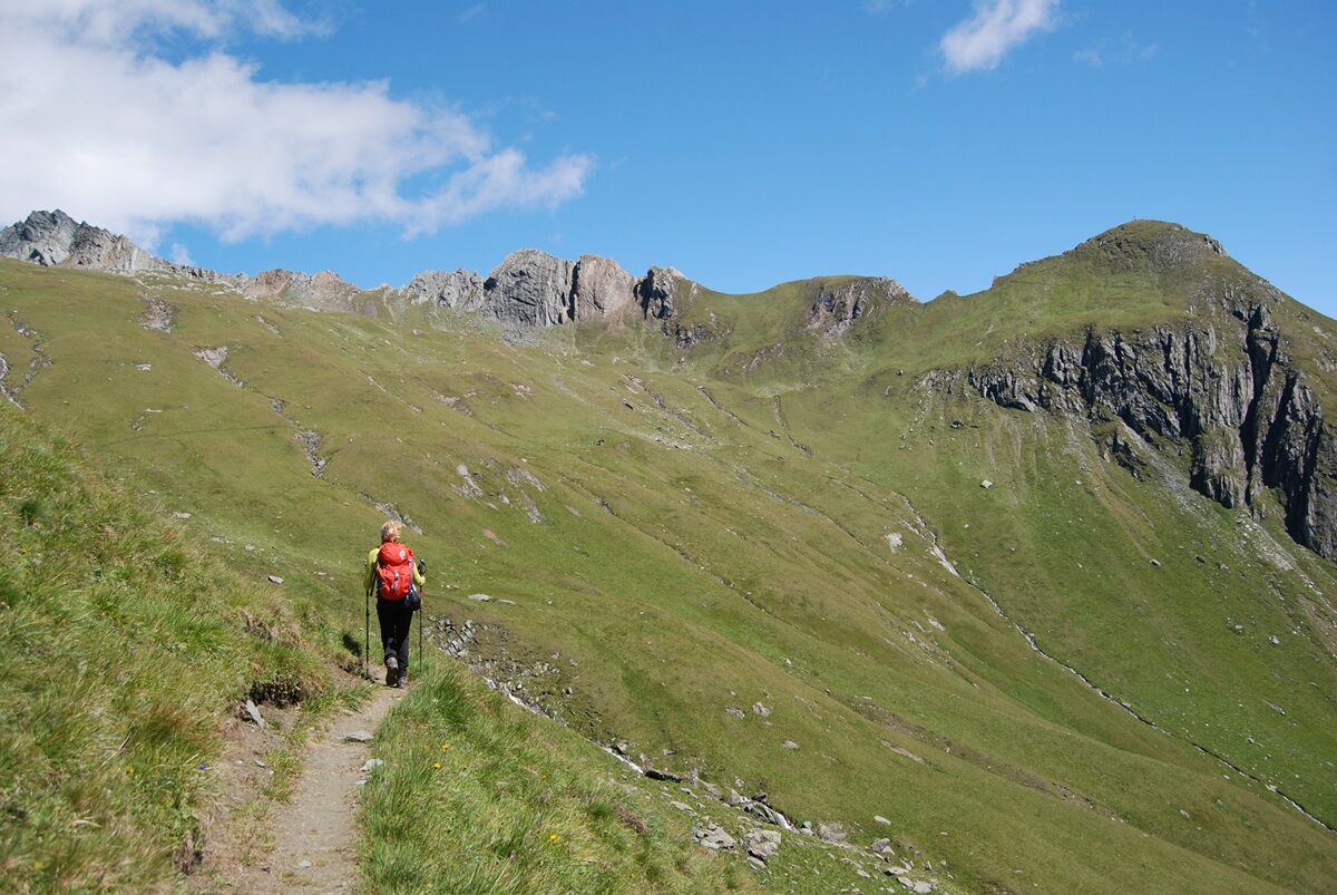
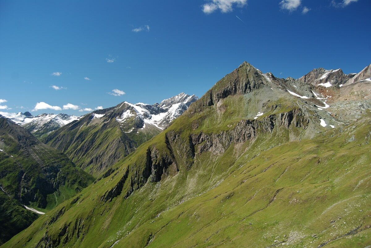
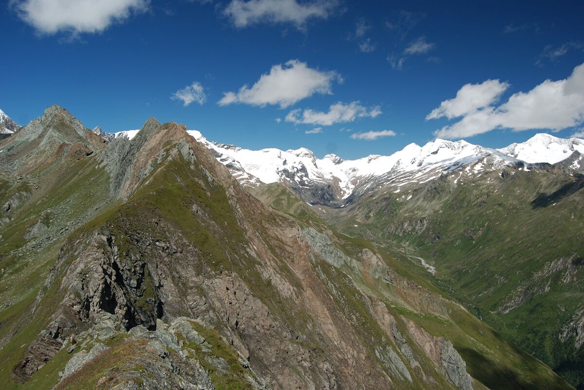
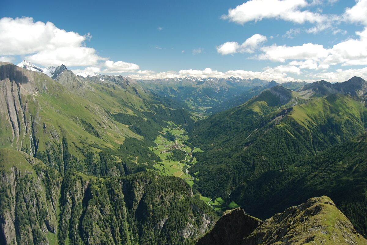
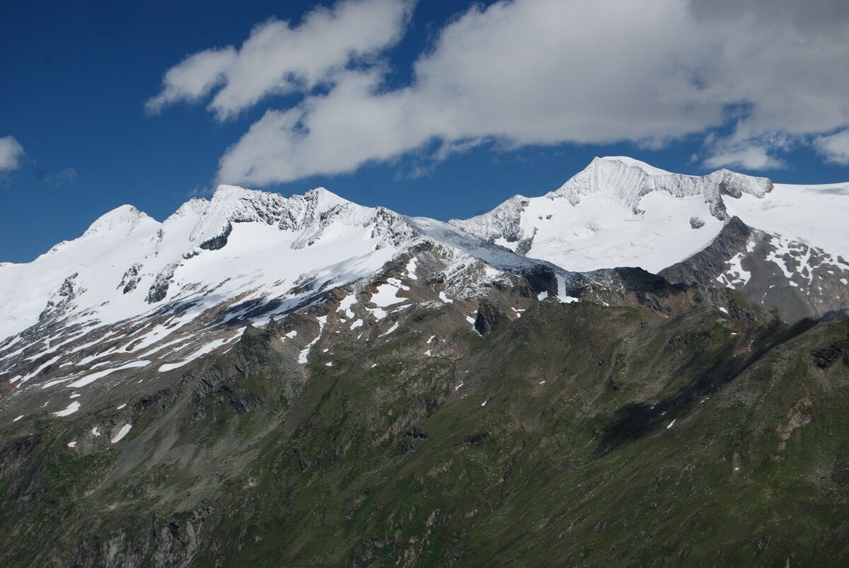
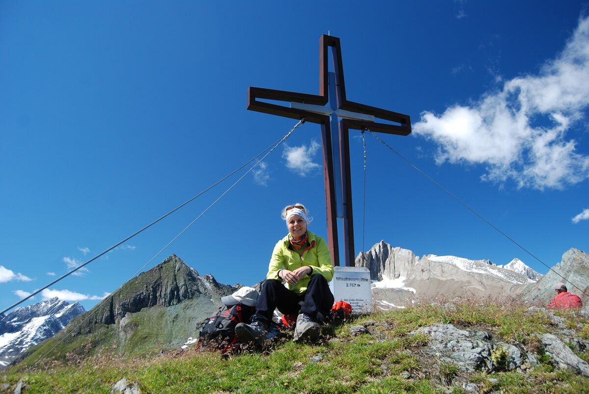
The trail leads from Ströden to the Pebell or Islitzeralm, and from there along the Umbalfälle waterfall path towards the Clarahütte. Leave the hiking trail 100 metres before the Reggenbach stream on a small hill (signpost!) and climb in a northerly direction, initially fairly steeply (rope insurance), then keep your eyes fixed on the southern flank of the Ogasil until you reach the junction that leads eastwards into the "Zopat". From here, the summit of the Wiesbauerspitze is already clearly visible and serves as a further orientation aid.
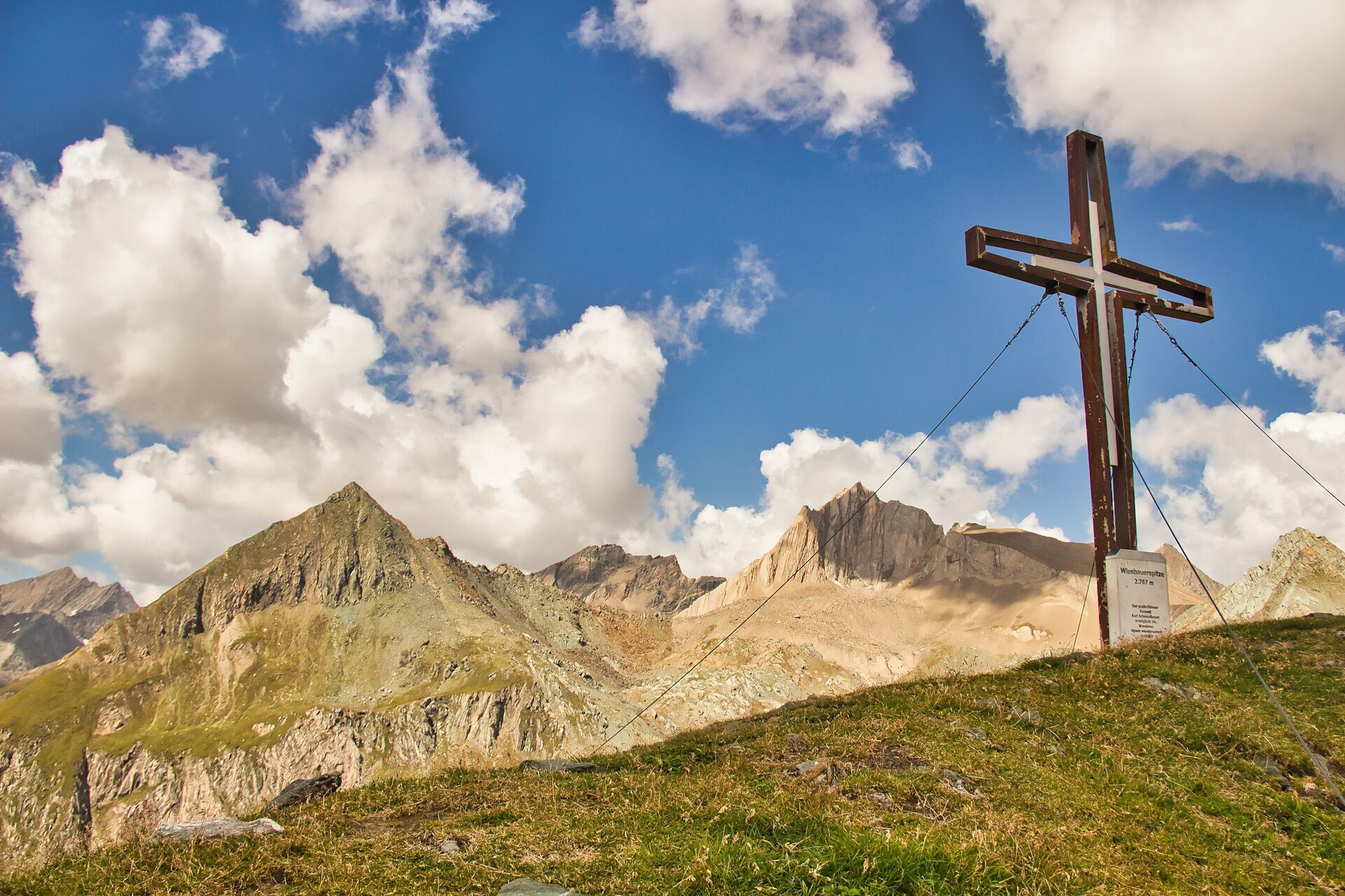
After a short ascent you reach the "Zopatbach" and after about 15 minutes the small Zopathütte at 2,581 metres. (Jägerhütte not serviced). Here you can enjoy a little refreshment before tackling the last section of the marvellous trail. The last few metres to the summit cross require some more strength until the window finally opens up in all directions.
After a short ascent you reach the "Zopatbach" and after about 15 minutes the small Zopathütte at 2,581 metres. (Jägerhütte not serviced). Here you can enjoy a little refreshment before tackling the last section of the marvellous trail. The last few metres to the summit cross require some more strength until the window finally opens up in all directions.
Trasa
Ströden
(1403 m)
Vypořádání
0.0 km
Großbachfall
(1552 m)
Vodopád
2.2 km
Umbalfälle
(1547 m)
Vodopád
2.3 km
Mullwitzkogel
(2767 m)
Summit
9.0 km
Großbachfall
(1552 m)
Vodopád
15.8 km
Islitzeralm
(1505 m)
Úkryt
16.3 km
Ströden
(1403 m)
Vypořádání
18.1 km
Trasa
Wiesbauerspitze 2.767 m
střední
Turistika
18.12
km
Ströden
(1403 m)
Vypořádání
0.0 km
Islitzeralm
(1502 m)
Dětské hřiště
1.8 km
Großbachfall
(1552 m)
Vodopád
2.2 km
Umbalfälle
(1547 m)
Vodopád
2.3 km
Wiesenberg
(2488 m)
Koridor/terén
7.4 km
Mullwitzkogel
(2767 m)
Summit
9.0 km
Umbalfälle
(1547 m)
Vodopád
15.8 km
Großbachfall
(1552 m)
Vodopád
15.8 km
Islitzeralm
(1505 m)
Úkryt
16.3 km
Ströden
(1403 m)
Vypořádání
18.1 km

Naposledy sledované
před 3 dny

Zatím žádné recenze
Získejte přehled
Vždy živě na místě s více než 9 500 webkamerami. bergfex Jako uživatel Pro si nyní můžete zobrazit odpovídající webové kamery pro mnoho prohlídek v aplikaci prohlídky z. Můžete si tak přímo prohlédnout aktuální podmínky.


Oblíbené prohlídky v okolí
-
4.8
NaturKraftWeg Umbalfälle
světloTematická stezka 5.99 km -
4.2
Gletscherlehrweg Innergschlöß
středníTuristika 9.36 km -
4.8
Circular hike suspension bridge Isel Canyon via "Hohe Bank"
středníTuristika 8.11 km -
4.8
Stoden - Clarahütte
středníTuristika 7.12 km -
4.9
Oberhausalm - Jagdhaushütte
světloTuristika 14.0 km -
4.4
Seespitze
středníTuristika 13.7 km -
4.9
Erlsbach Almenrunde zum Klammljoch
středníMountainbike 35.3 km -
4.8
Wiesbauerspitze 2.767 m
středníTuristika 9.66 km -
3.6
Krimmler Tauernhaus - Warnsdorfer Hut - Gamsspitzl
heavyTuristika 10.5 km -
5.0
Muhs-Panoramaweg
středníTuristika 14.0 km
Pěší turistika a stopování

Více než 550.000 návrhů výletů, podrobné mapy a intuitivní plánovač tras dělají z aplikace nezbytnou výbavu pro všechny milovníky přírody.

Nenechte si ujít nabídky a inspiraci pro vaši příští dovolenou
Přihlaste se k odběru newsletteru
Chyba
Došlo k chybě. Zkuste to prosím znovu.
Děkujeme za vaši registraci
Vaše e-mailová adresa byl přidán do poštovního seznamu.
Zájezdy po celé Evropě
Rakousko
Švýcarsko
Německo
Itálie
Slovenia
Francie
Nizozemsko
Belgie
Polsko
Lichtenštejnsko
Česko
Slovensko
Španělsko
Chorvatsko
Bosna a Hercegovina
Lucembursko
Andorra
Portugal
Iceland
United Kingdom
Ireland
Greece
Albania
North Macedonia
Malta
Norway
Montenegro
Moldova
Kosovo
Hungary
San Marino
Romania
Estonia
Latvia
Belarus
Cyprus
Lithuania
Serbia
Bulgaria
Monaco
Denmark
Sweden
Finland





