







Gräner Höhenweg circular hike (awarded the Tyrolean Mountain Trail quality seal)
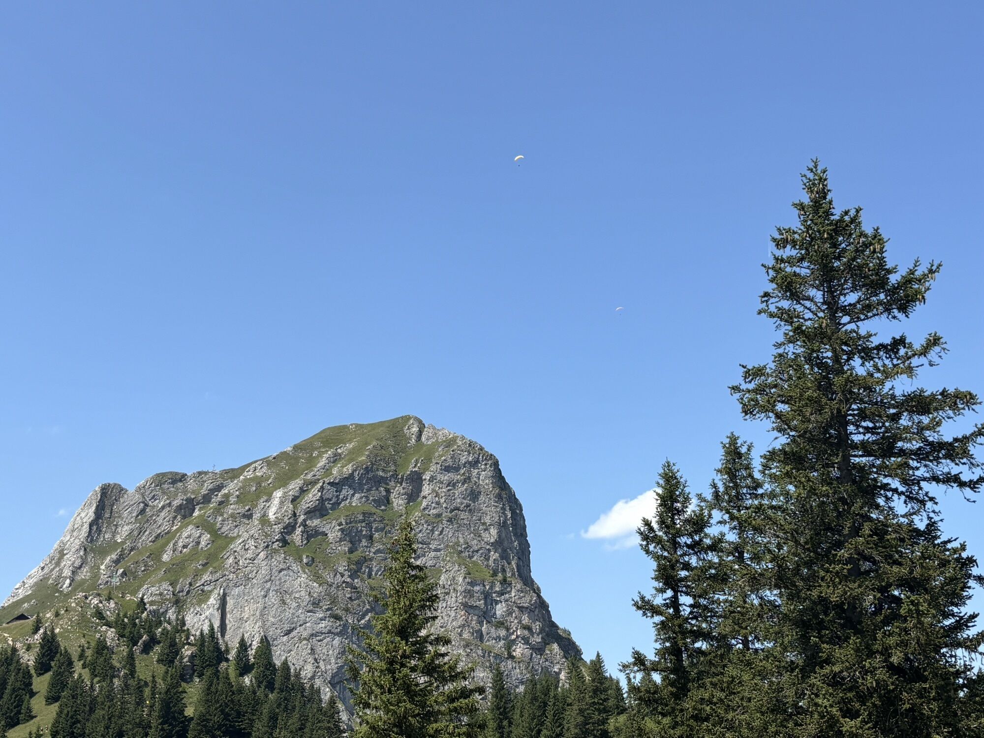
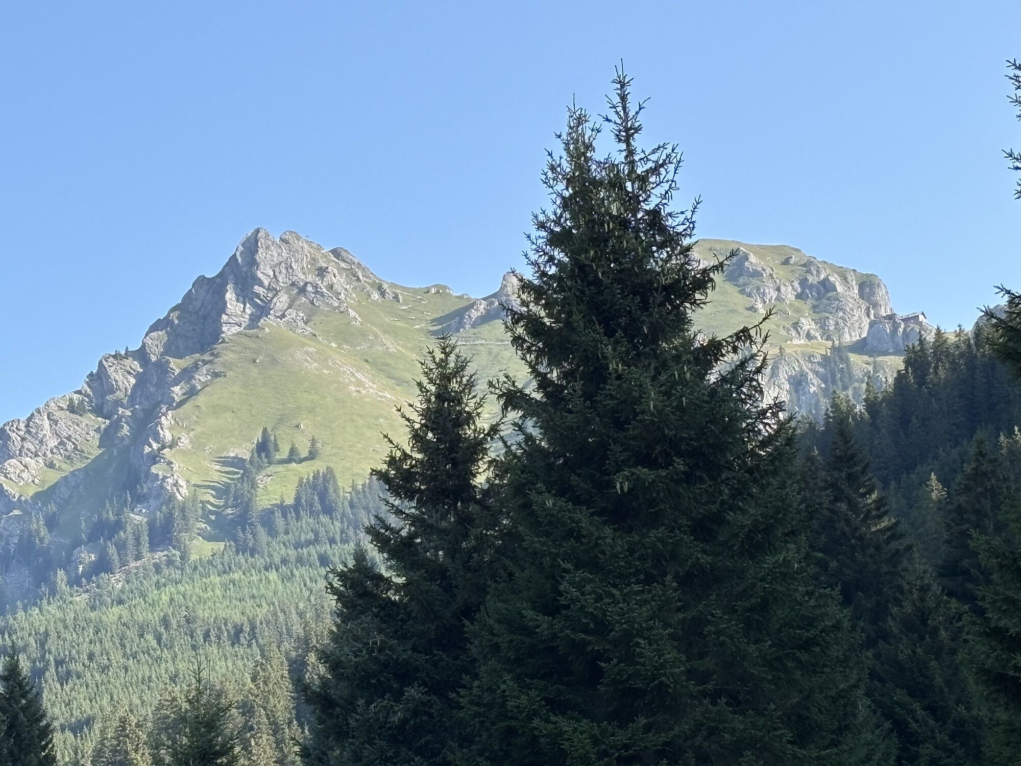
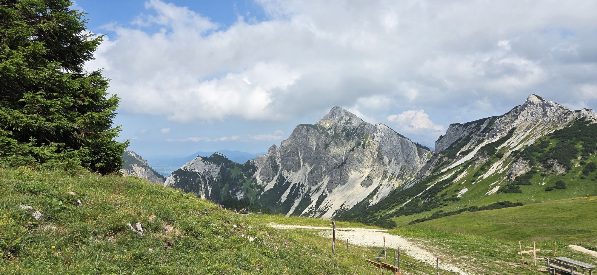
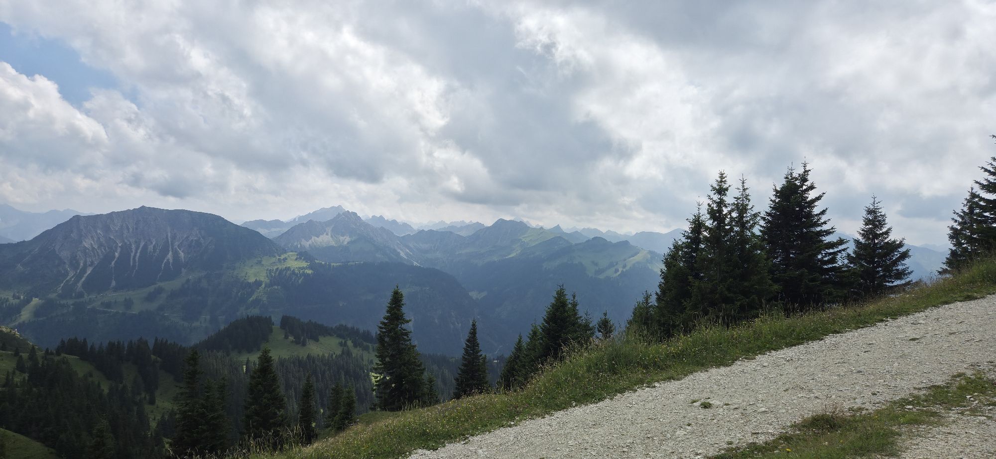
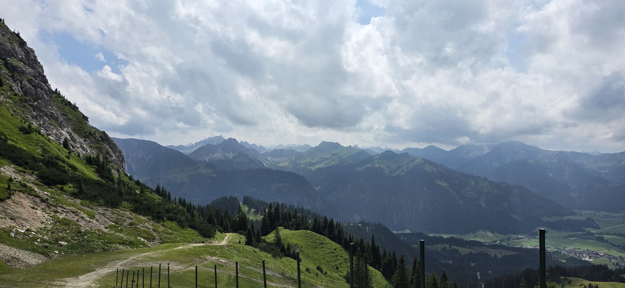
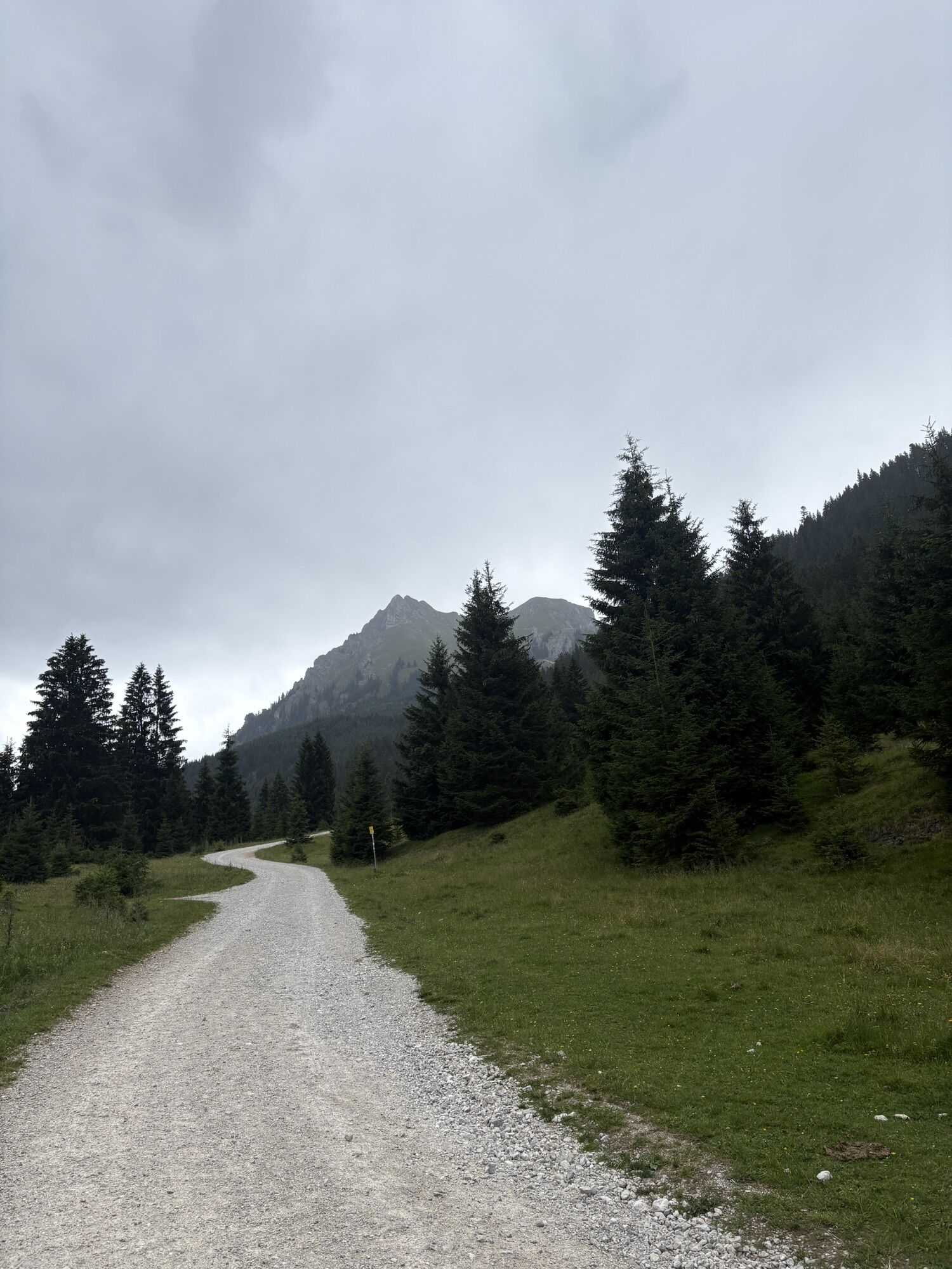
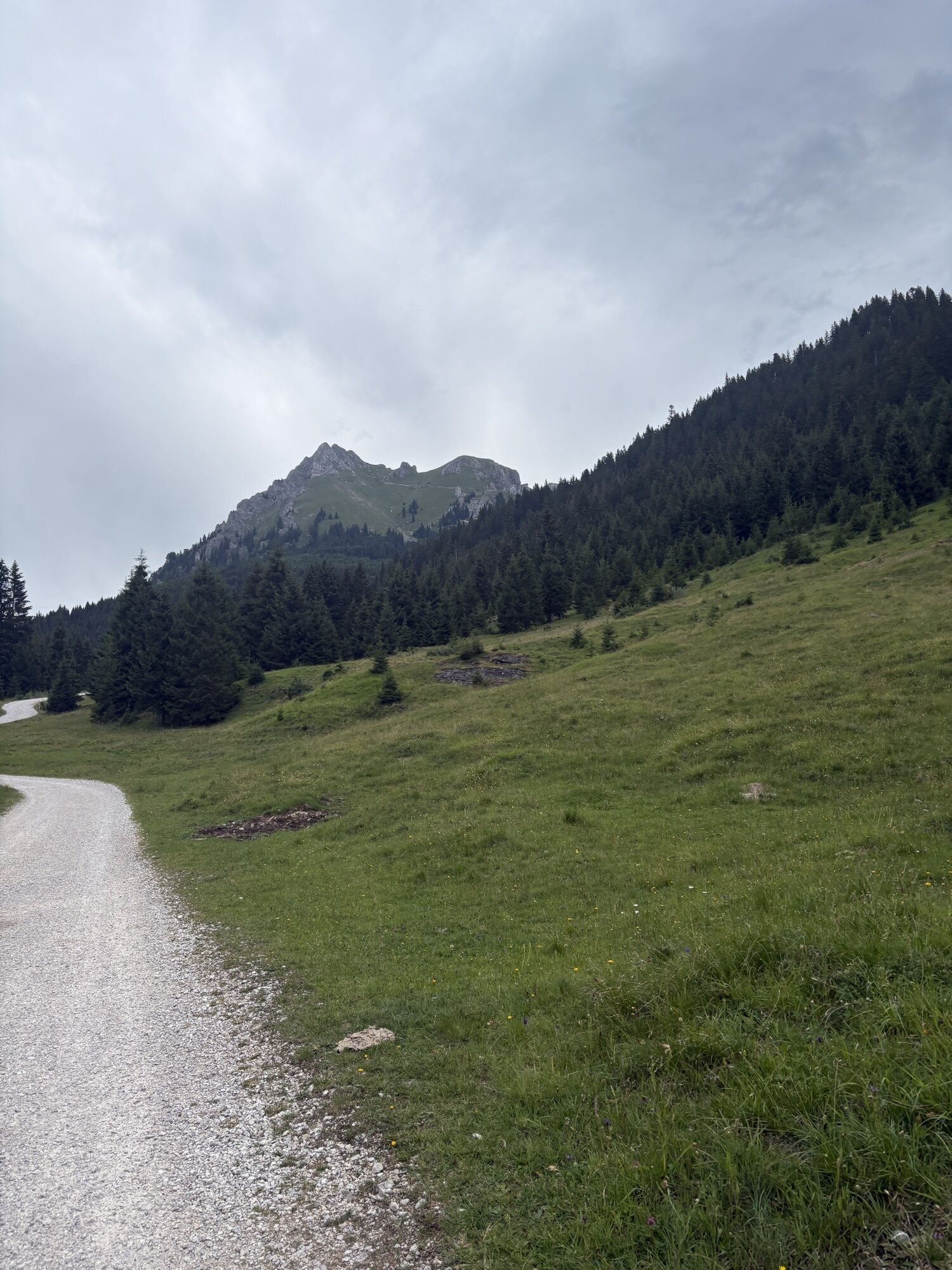
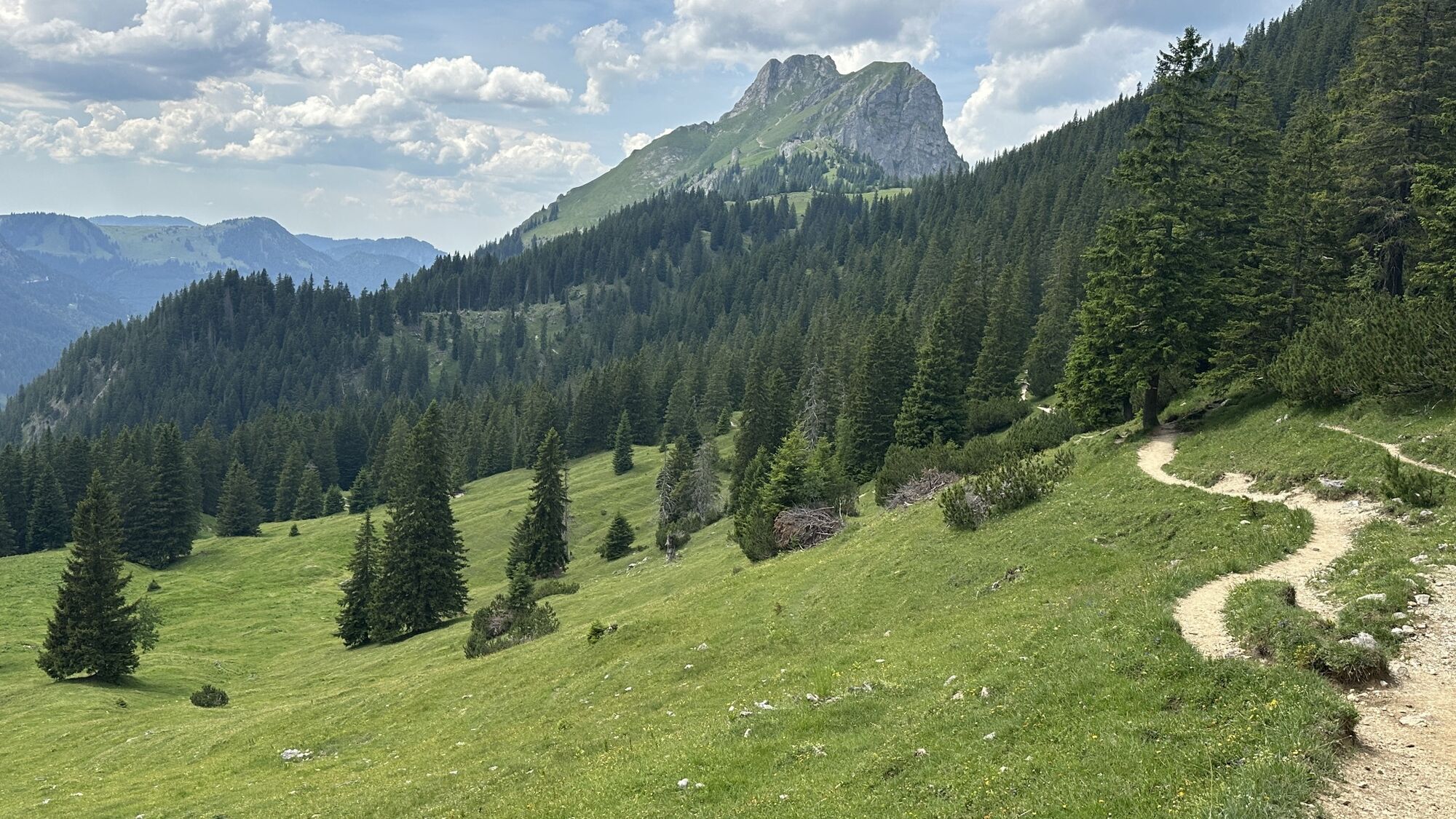
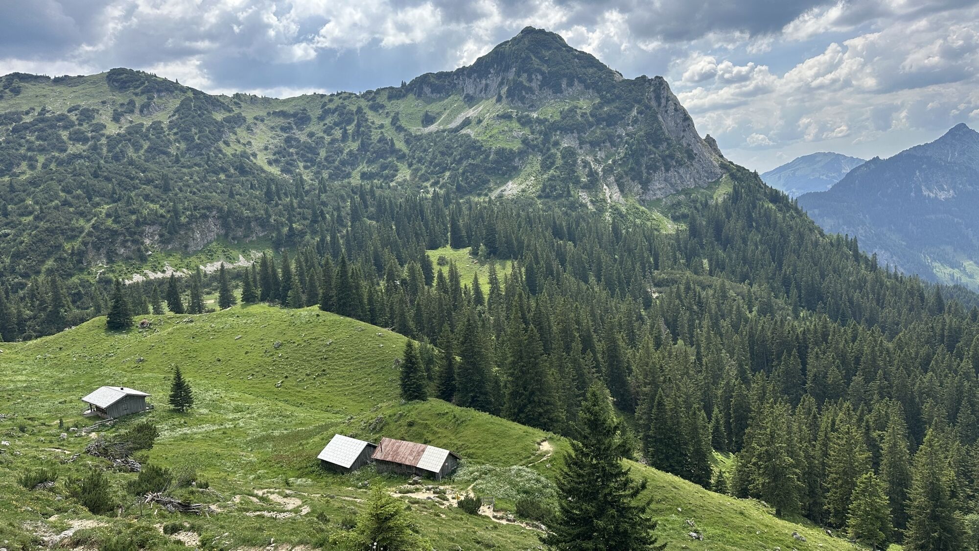
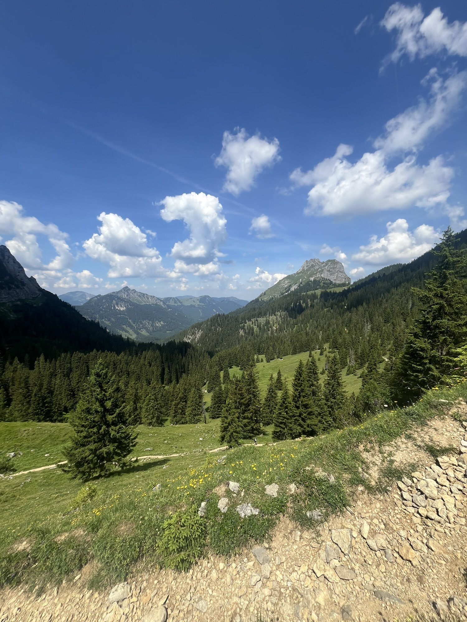
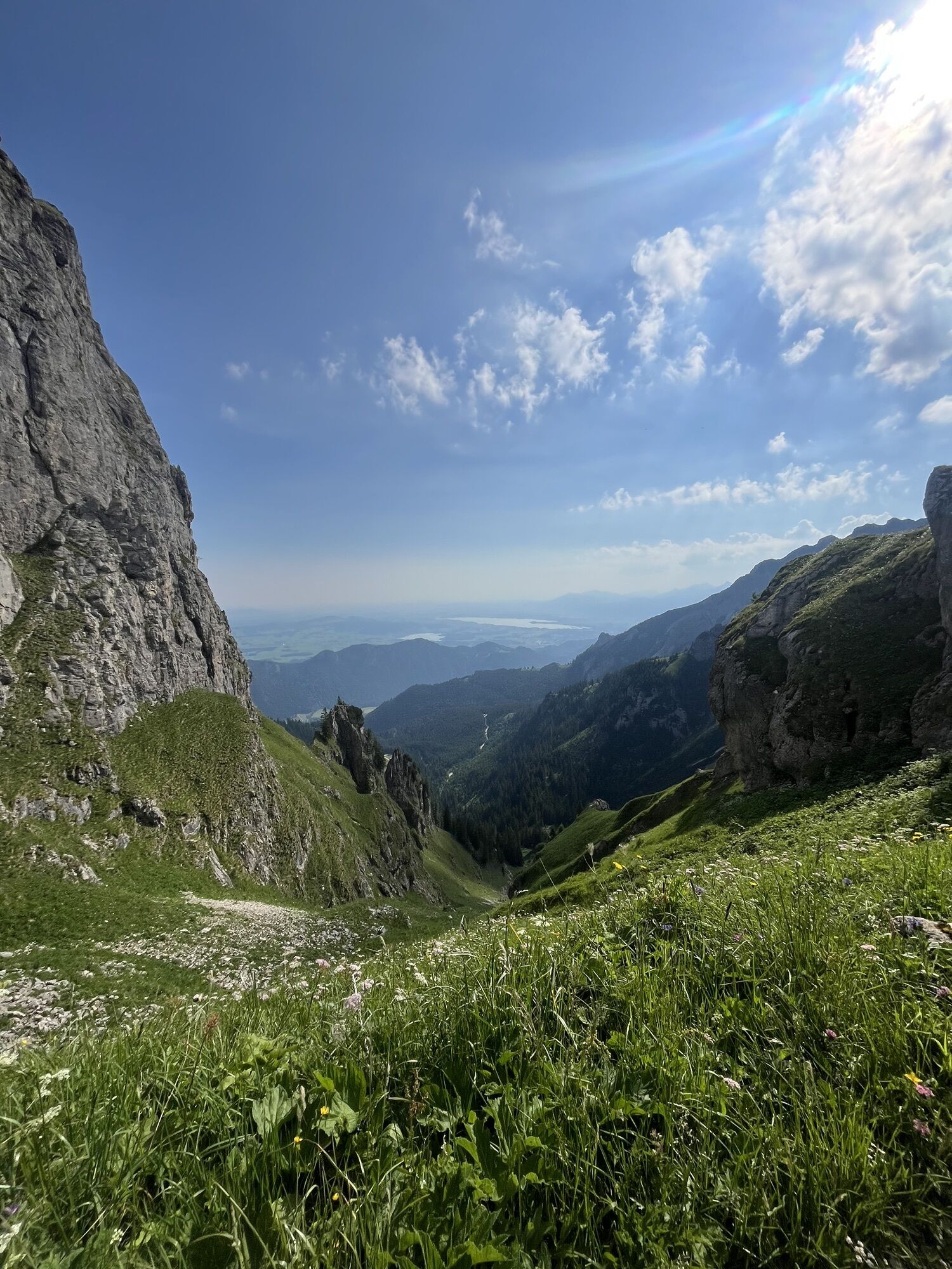
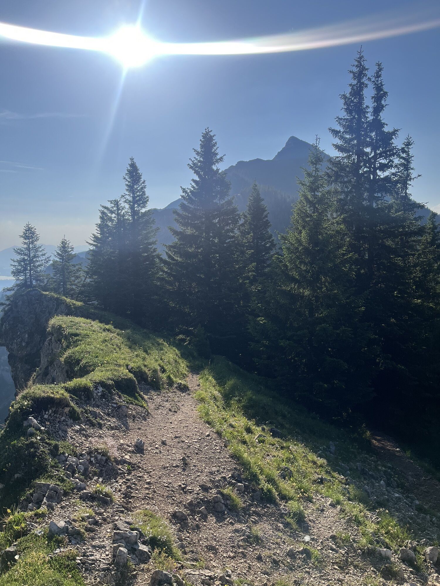
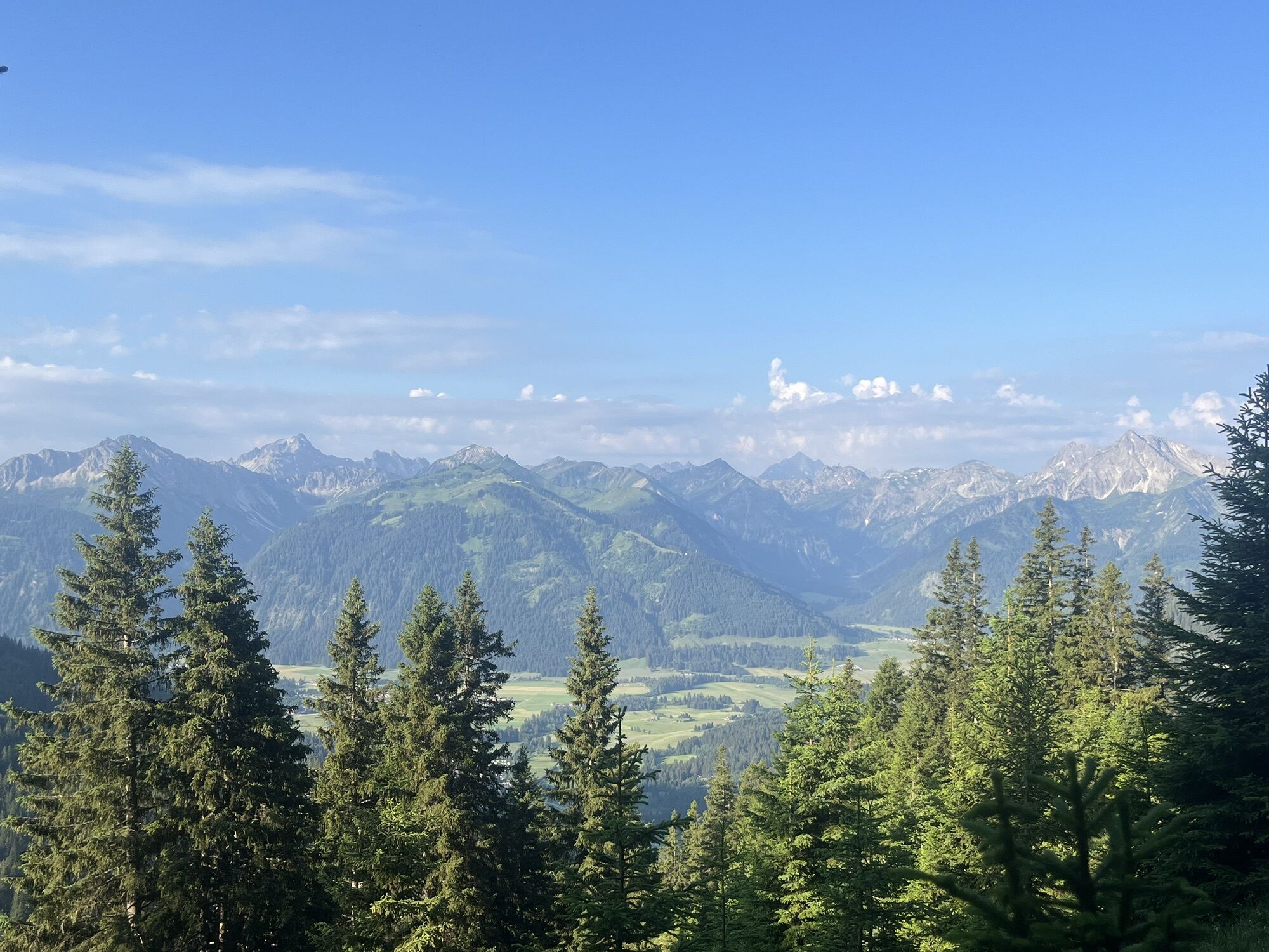
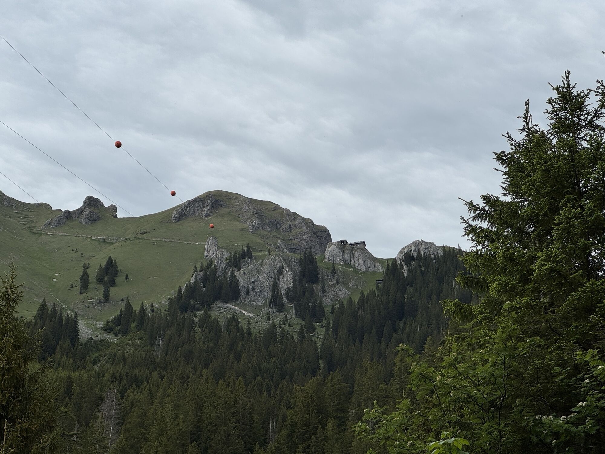
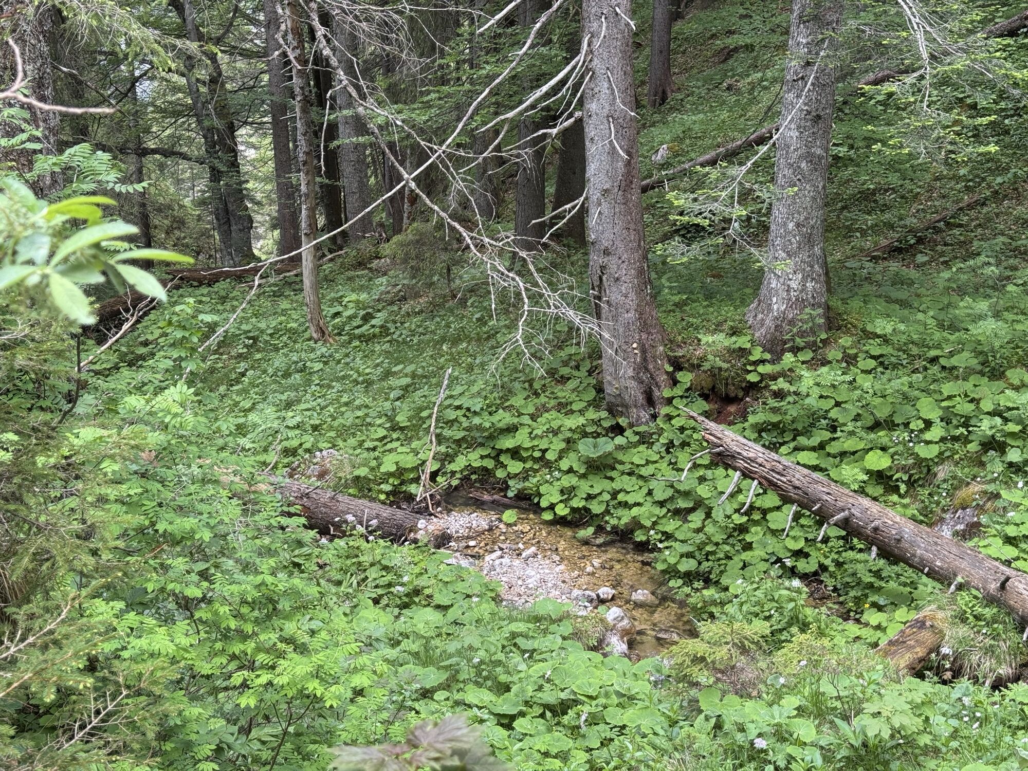
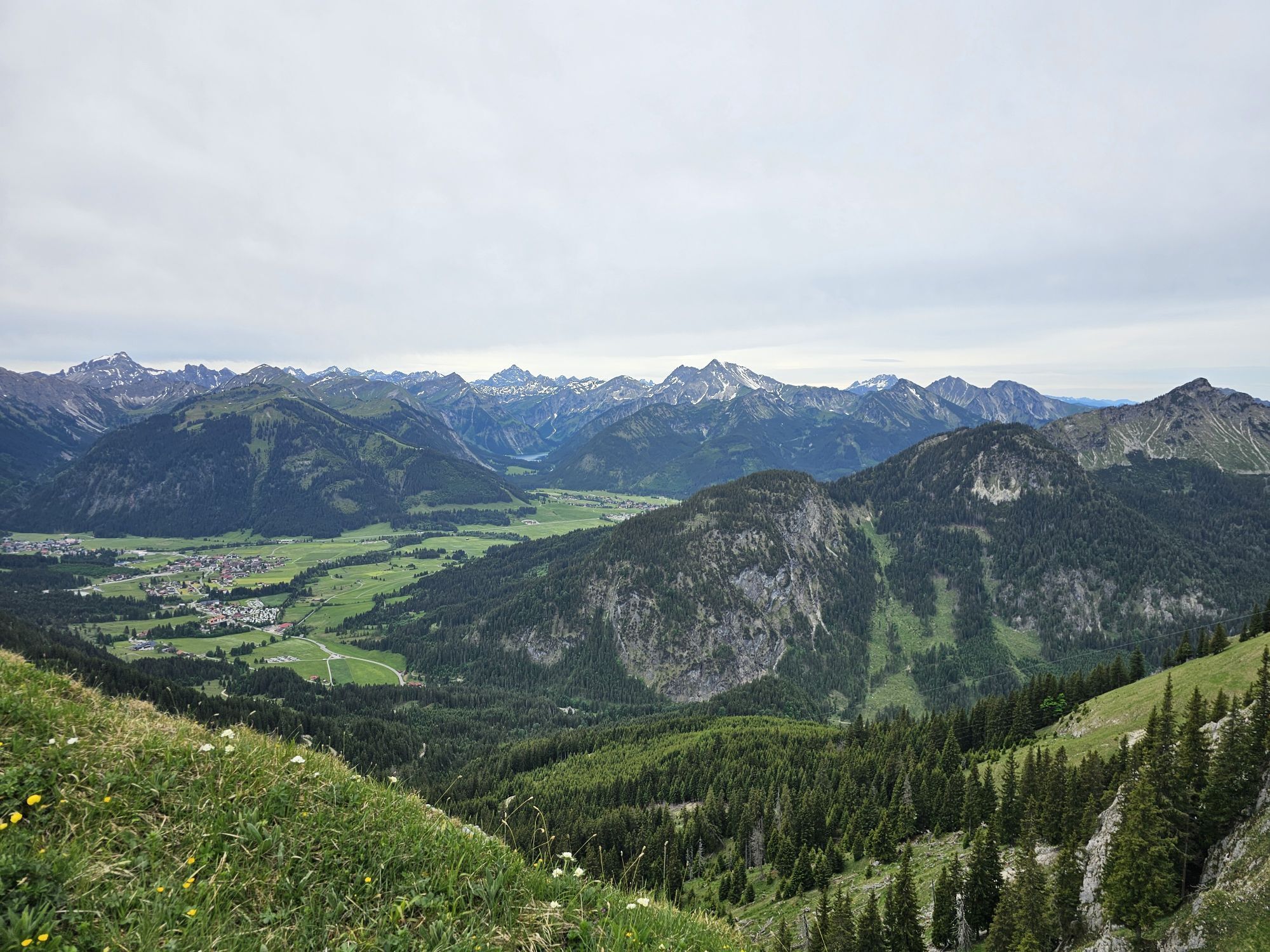
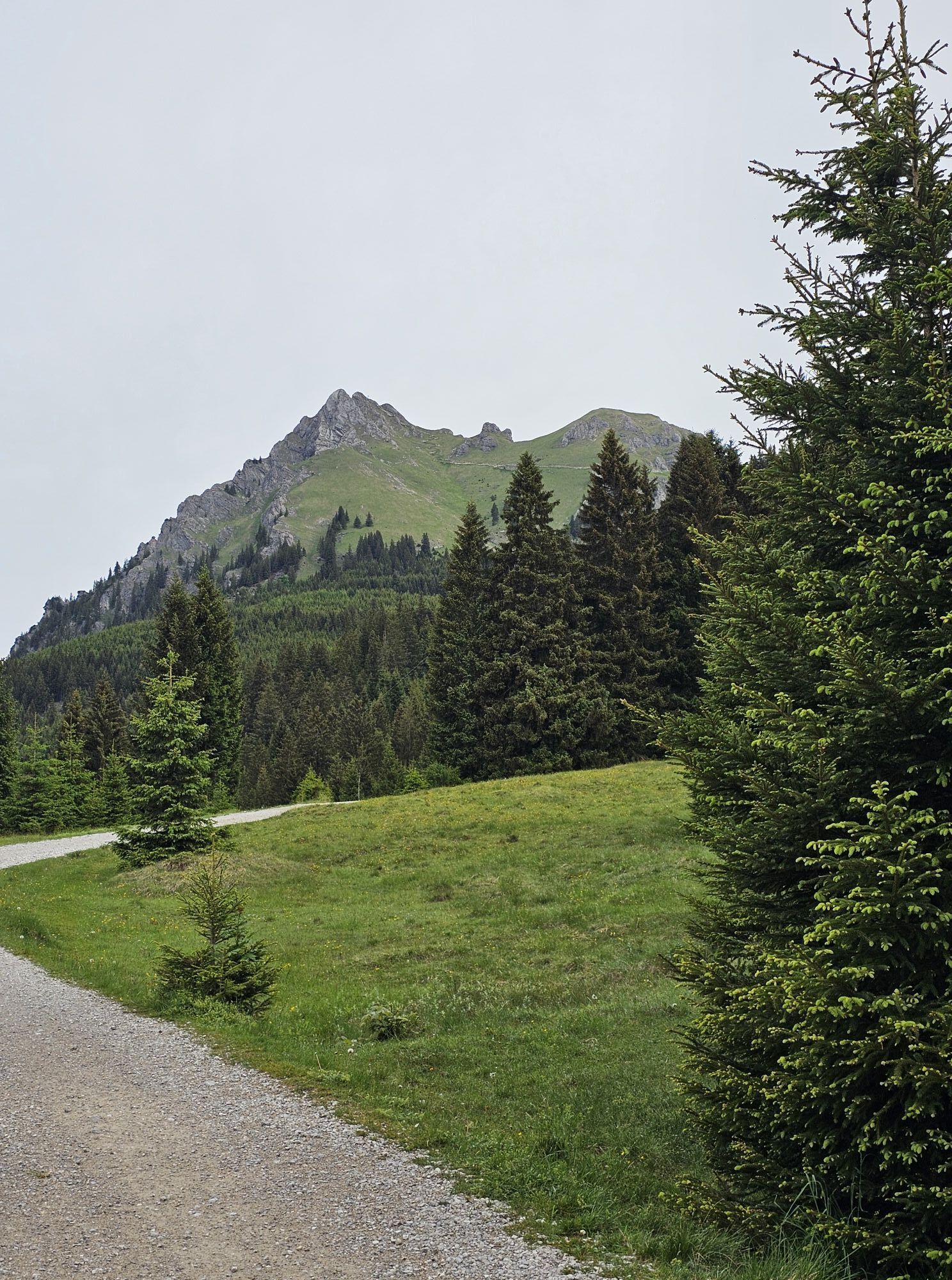
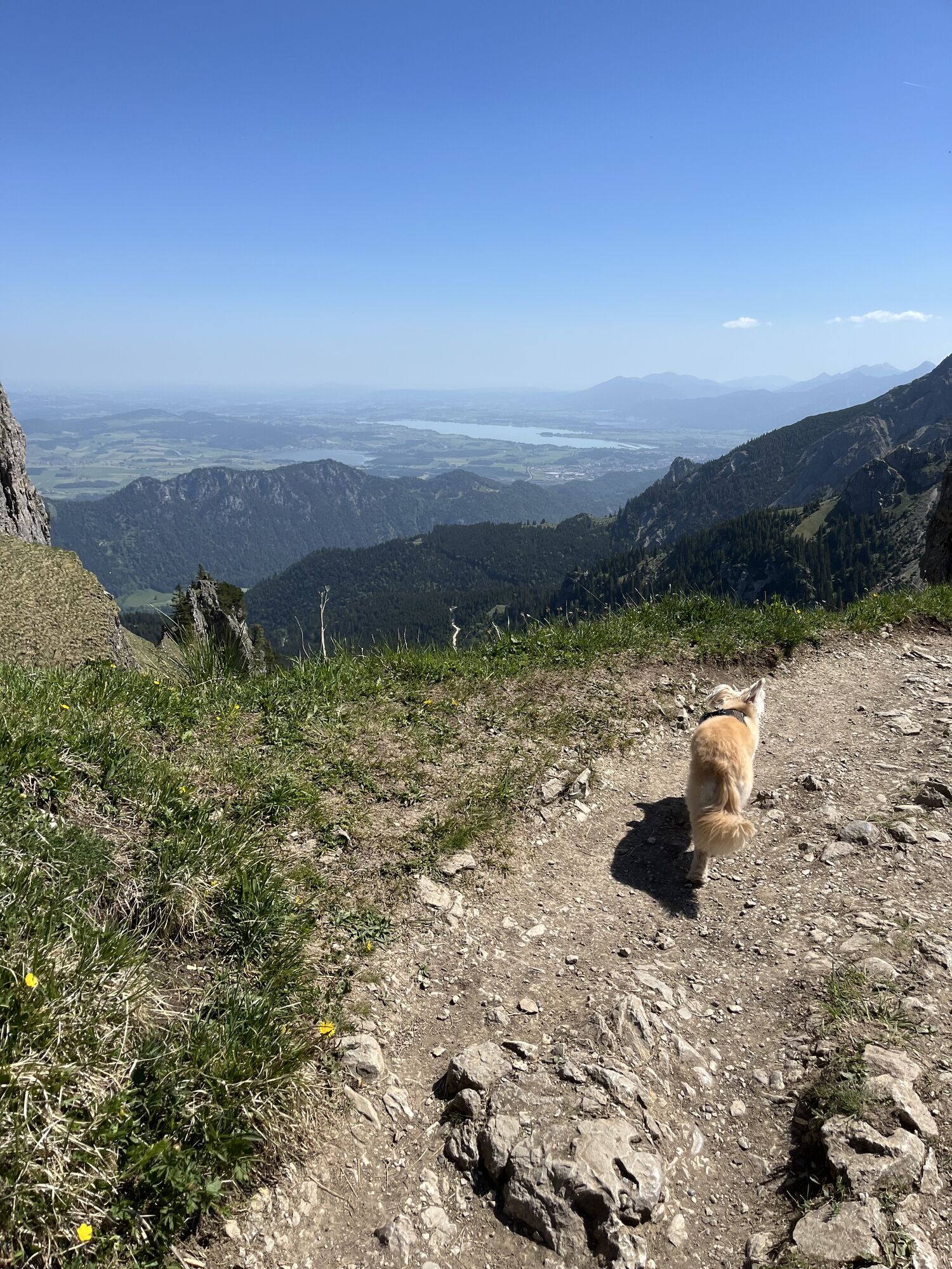
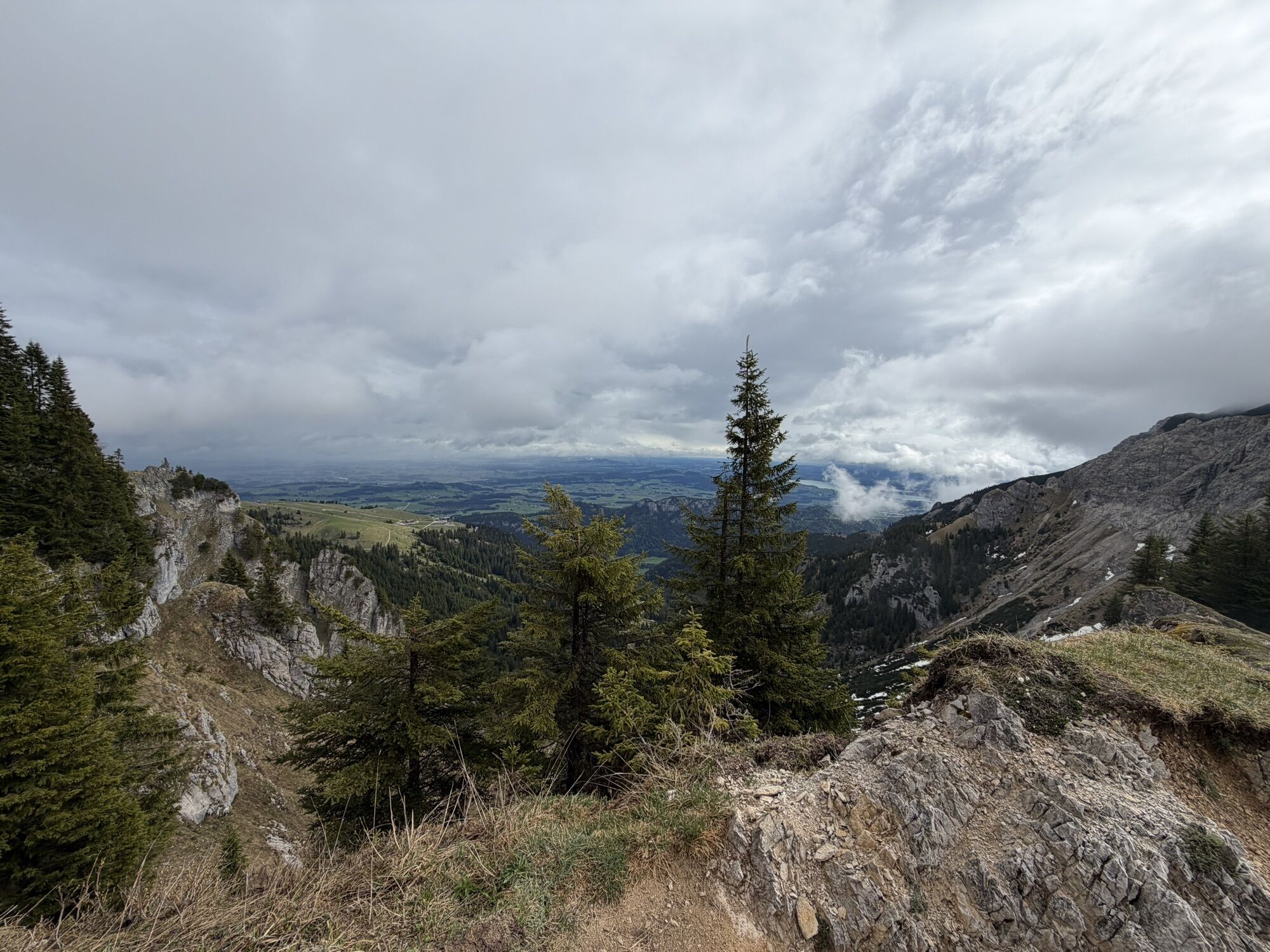
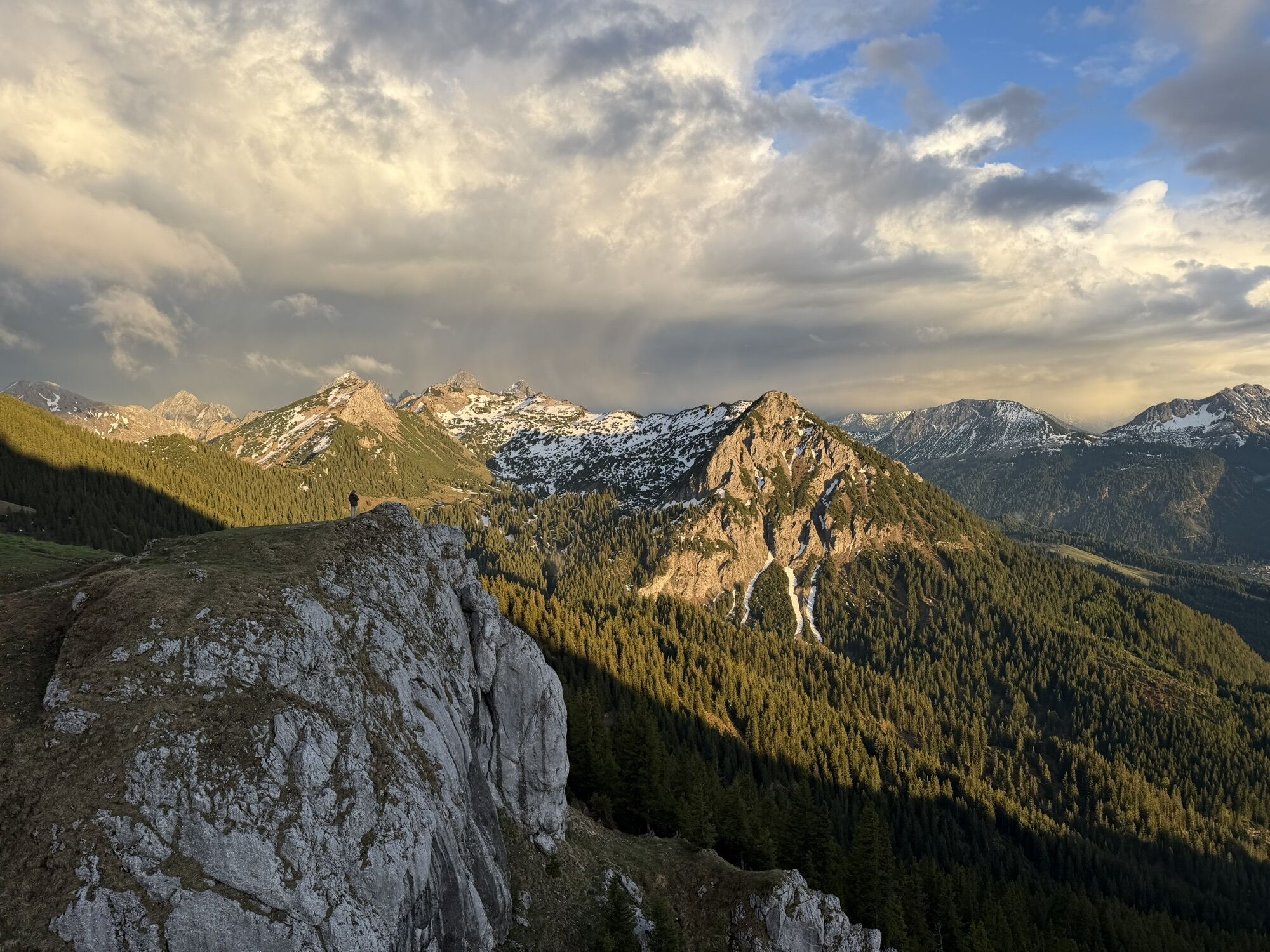
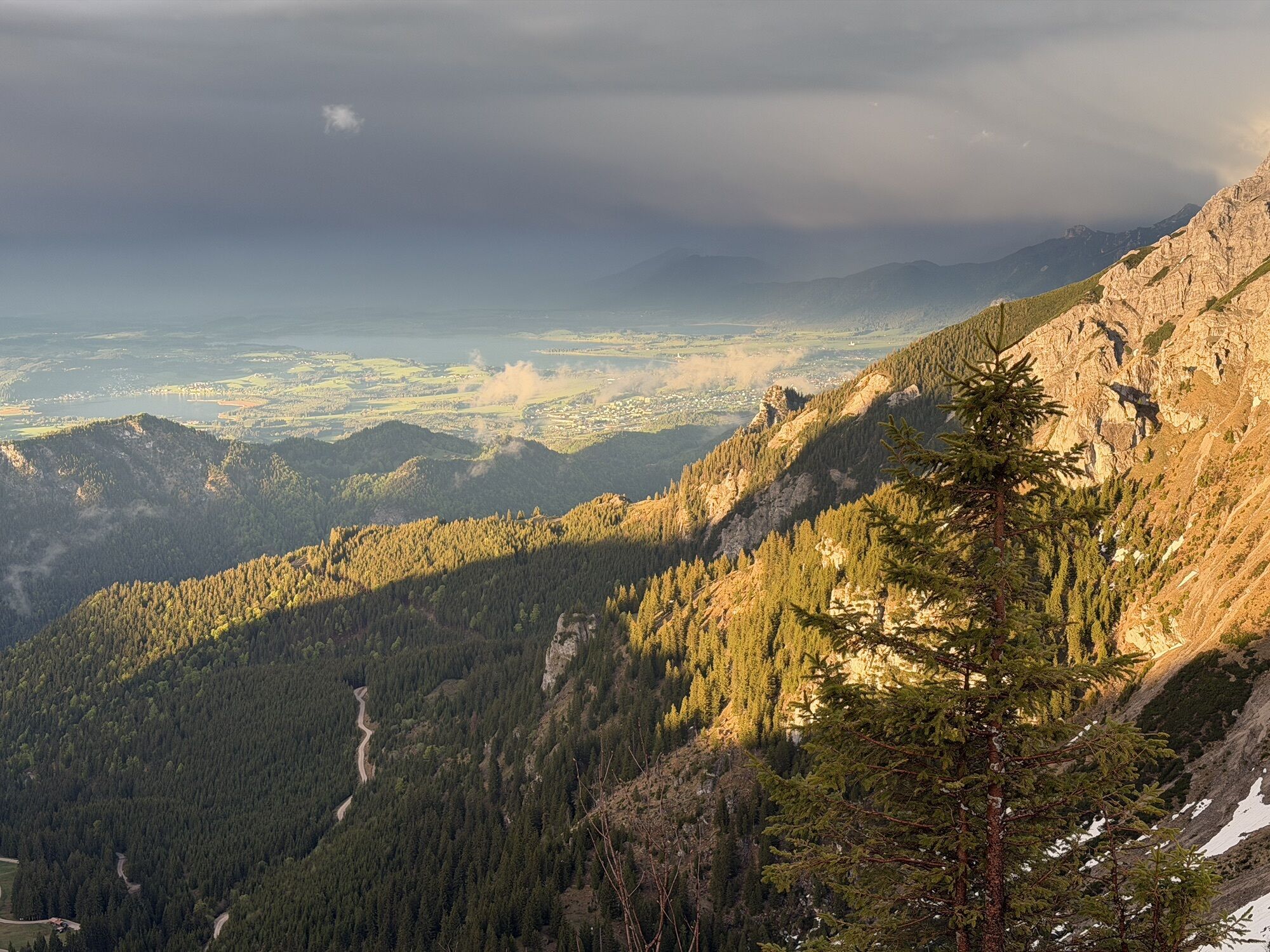
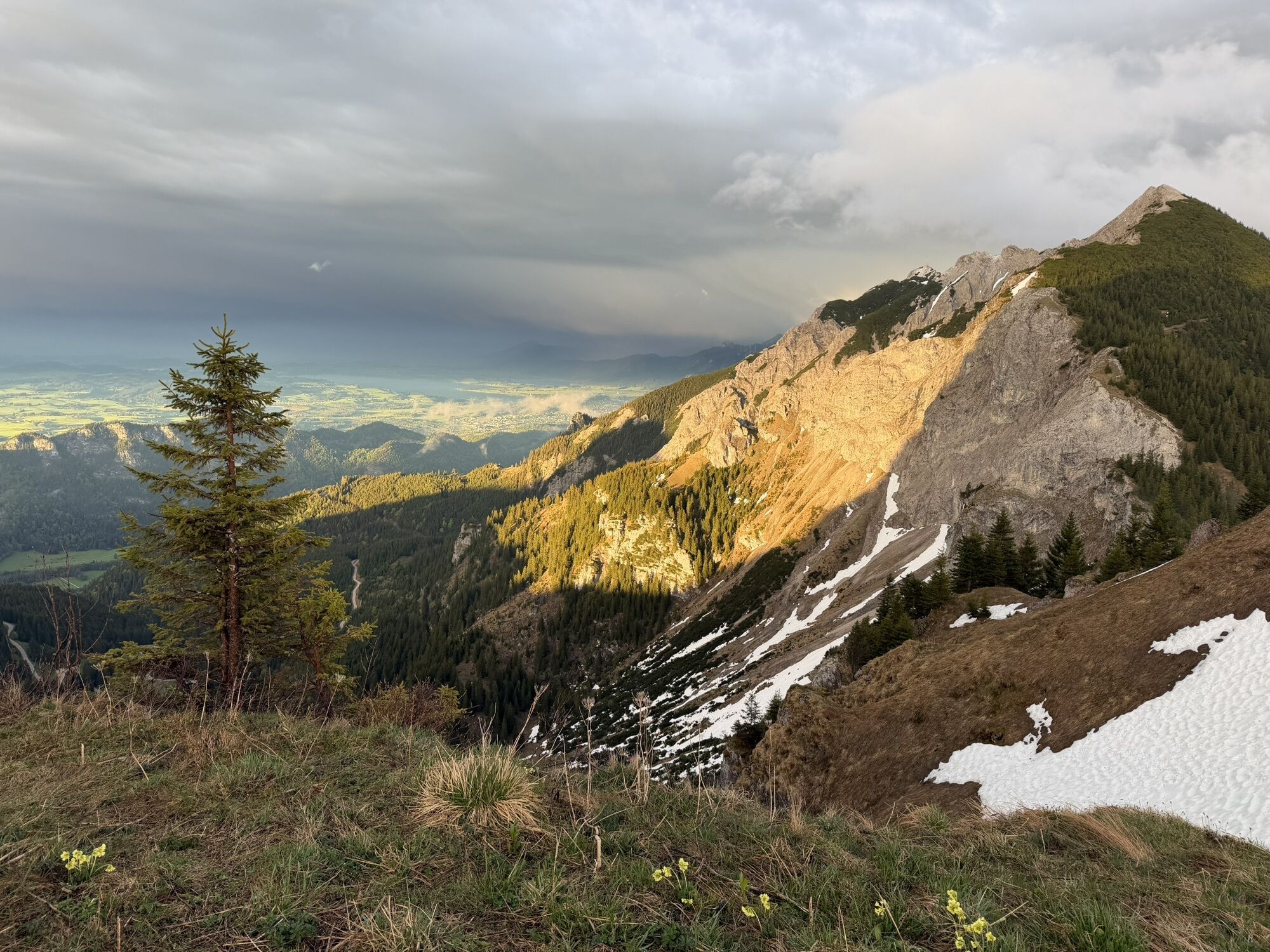
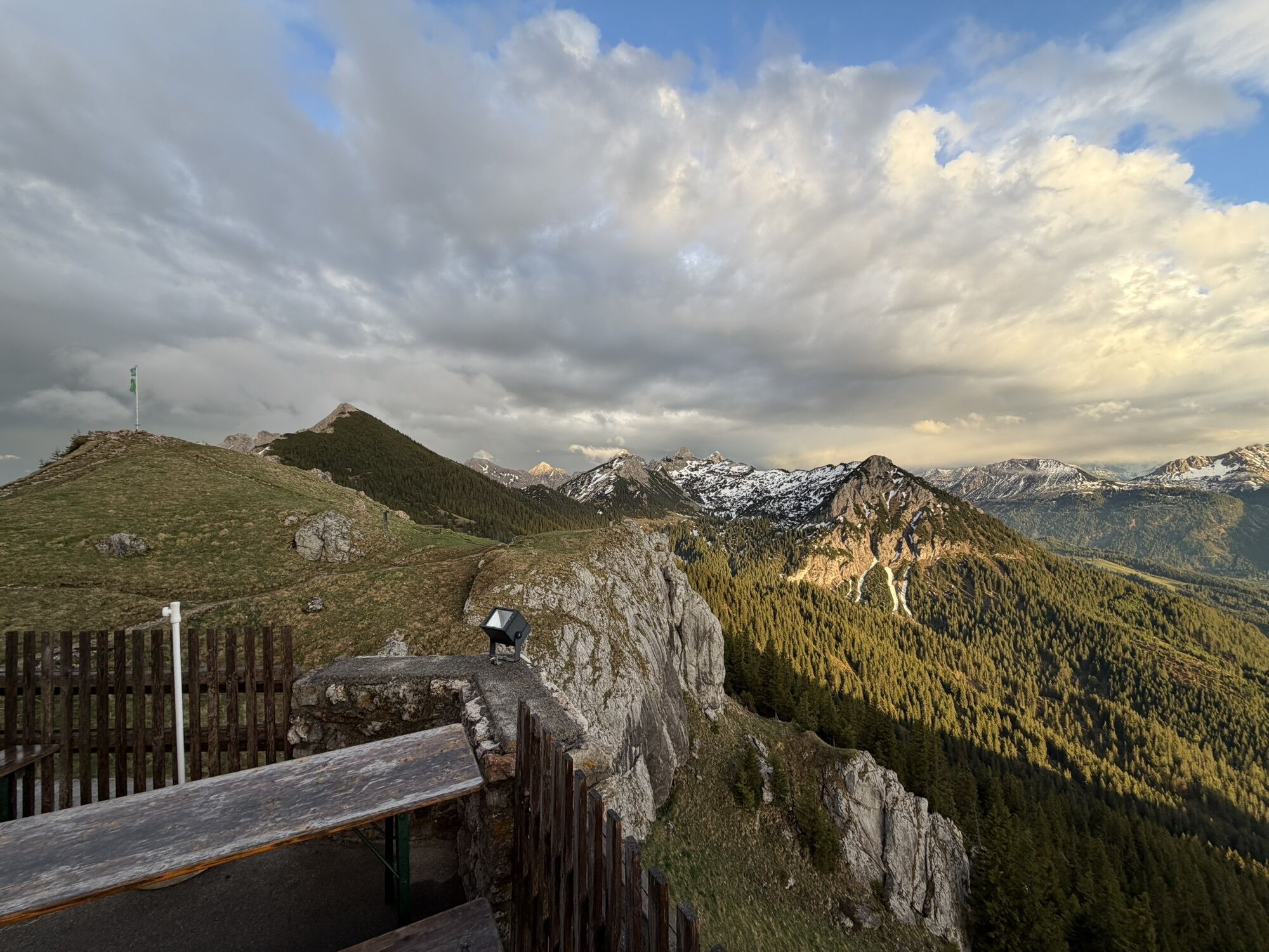
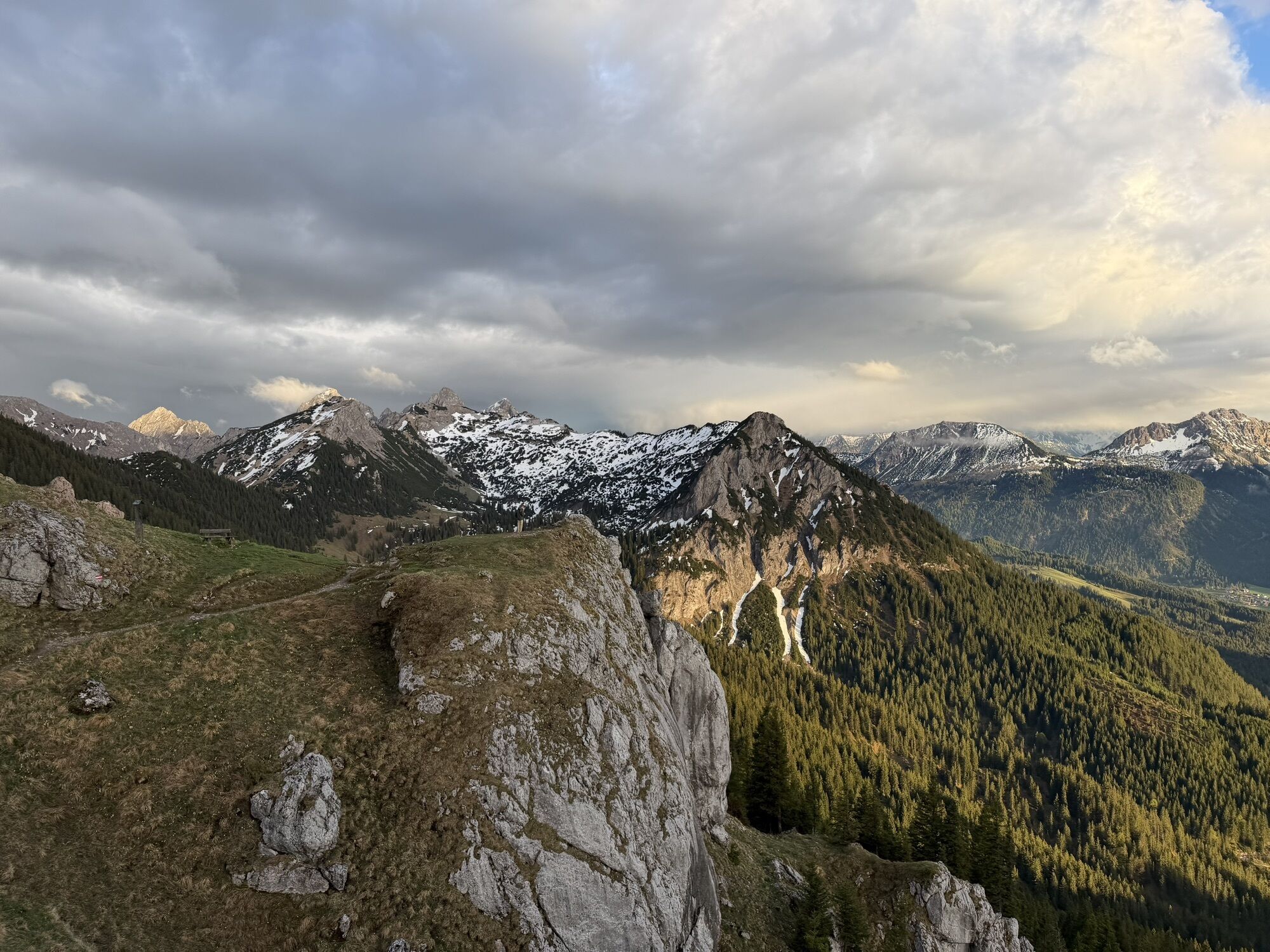
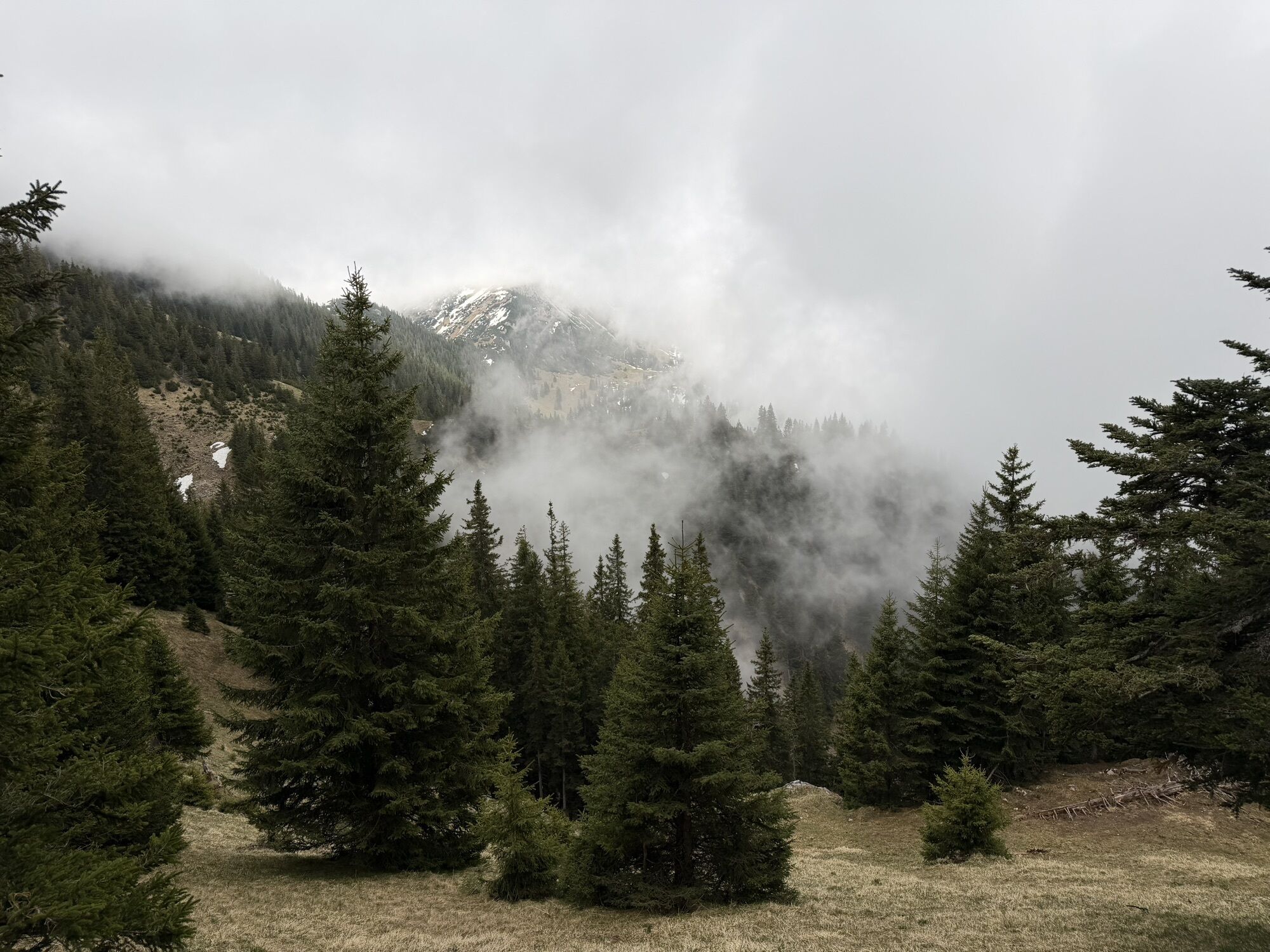
Definitely one of the most beautiful routes in the Tannheimer Tal. This dreamlike pleasure hike makes the hiking heart beat faster. From the alpine rose to the gentian, this hike offers a wonderful insight...
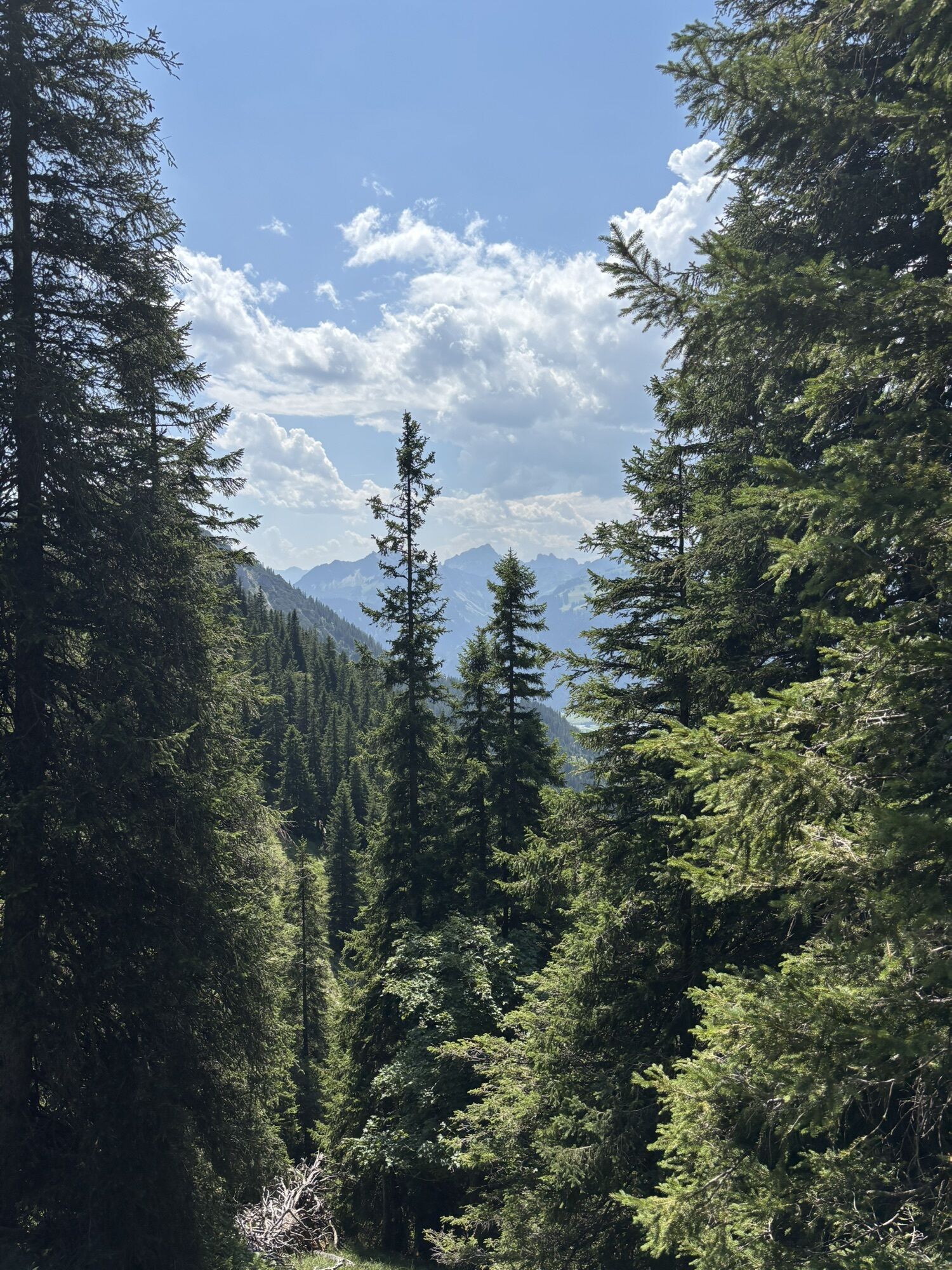
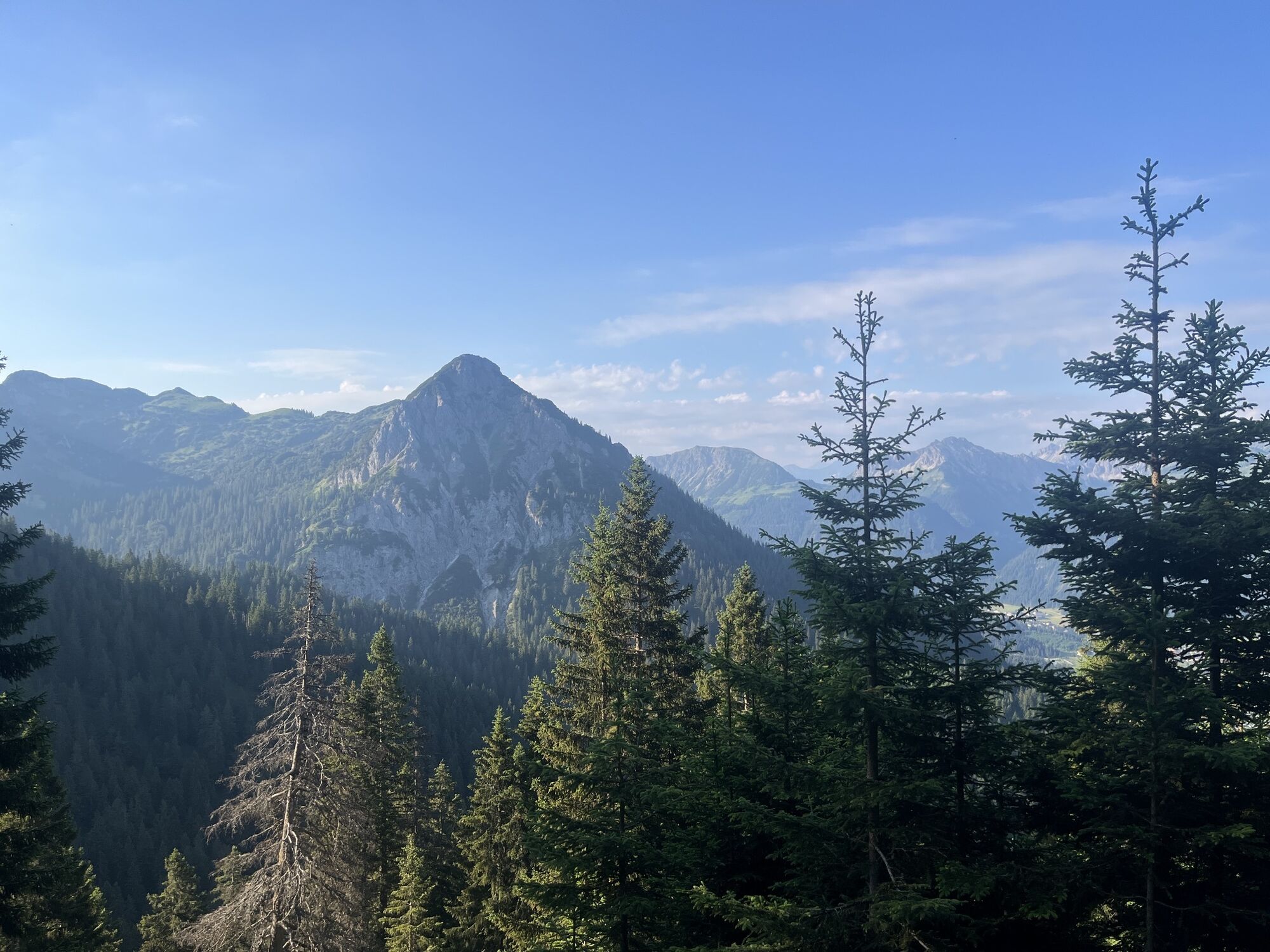
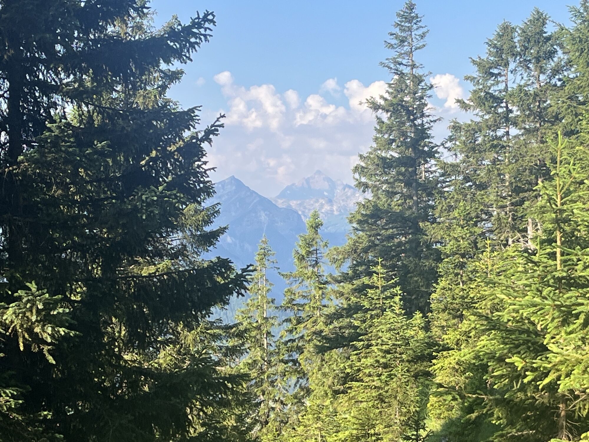
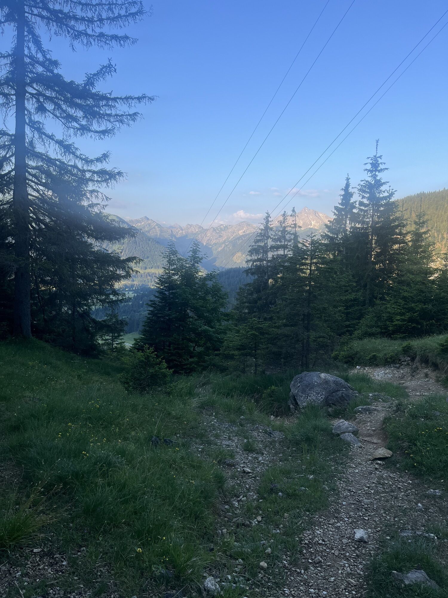
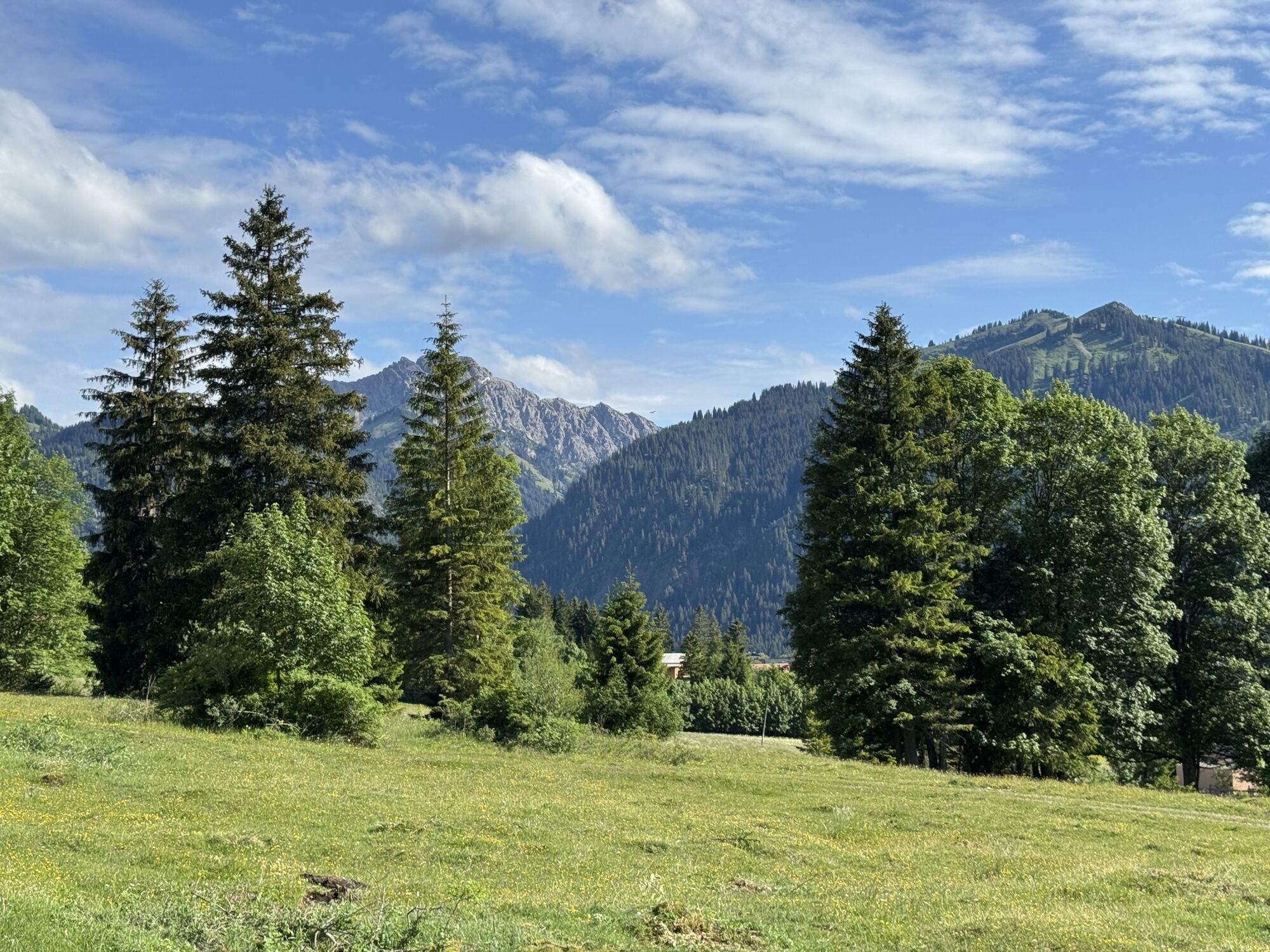
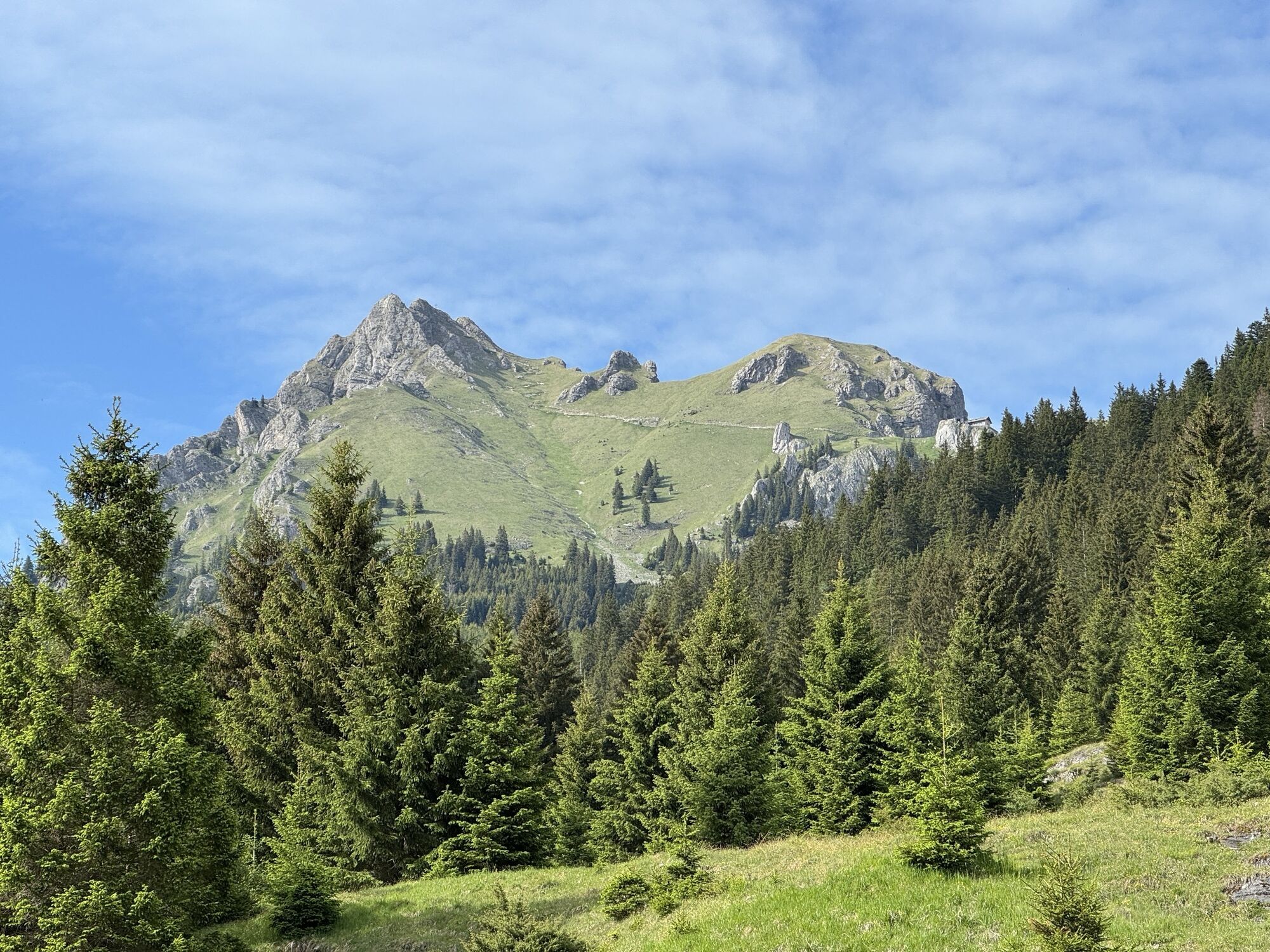
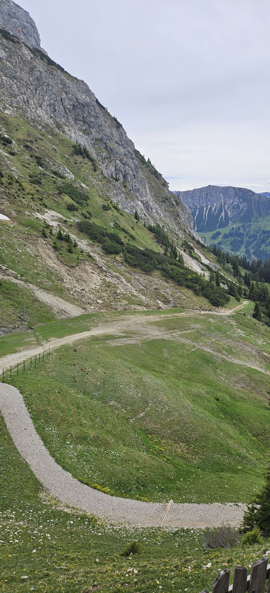
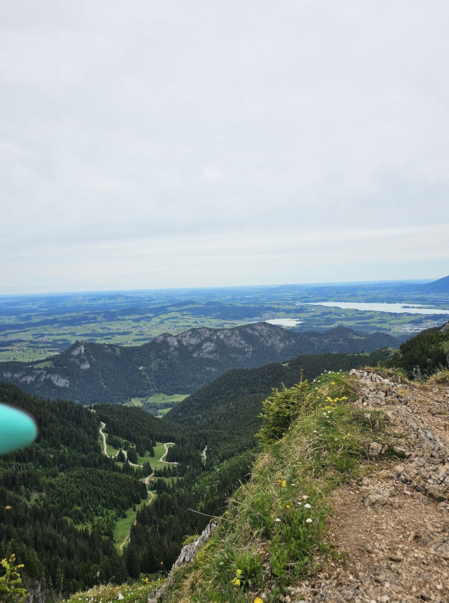
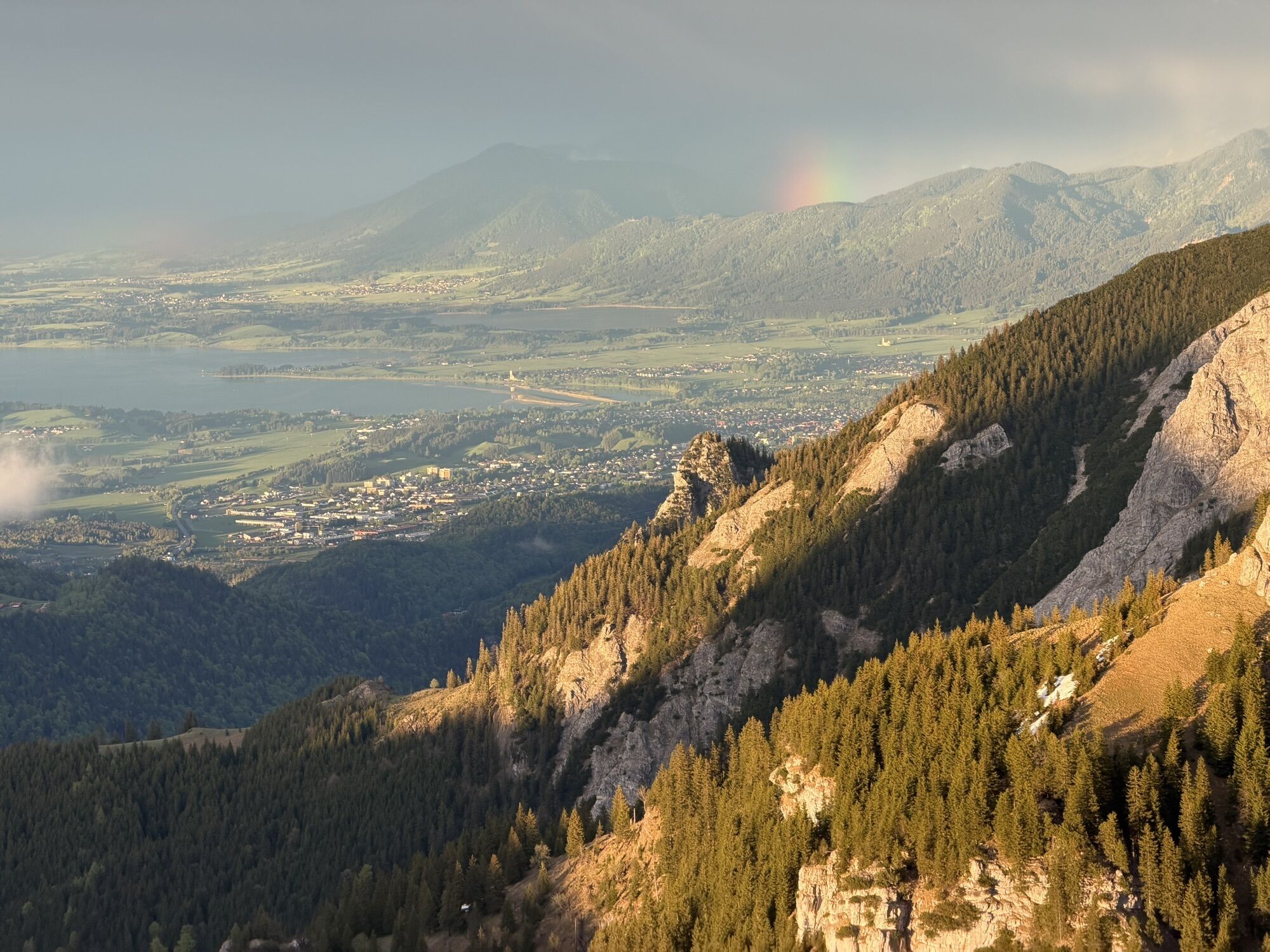
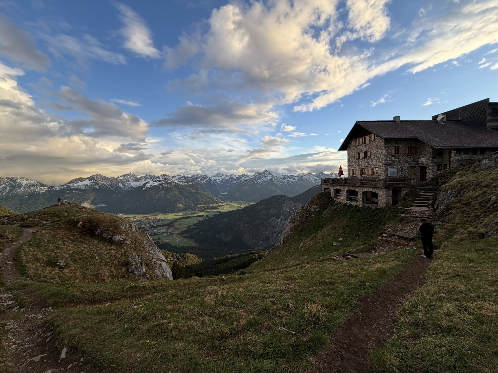
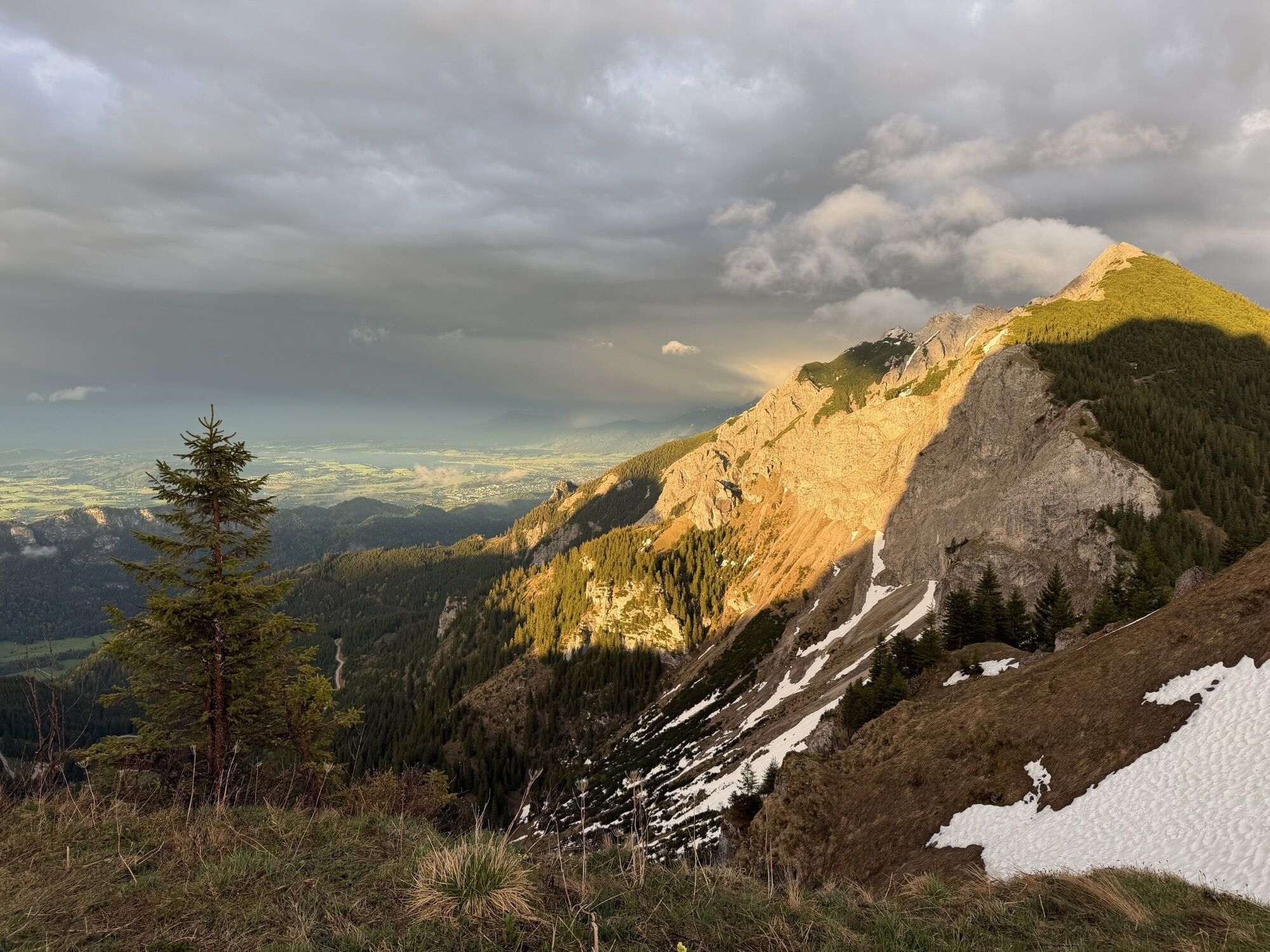
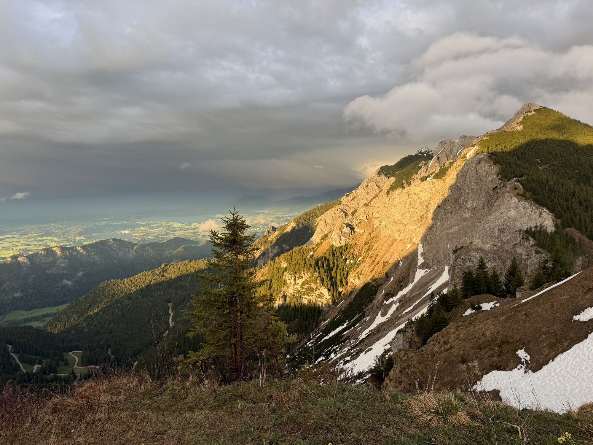
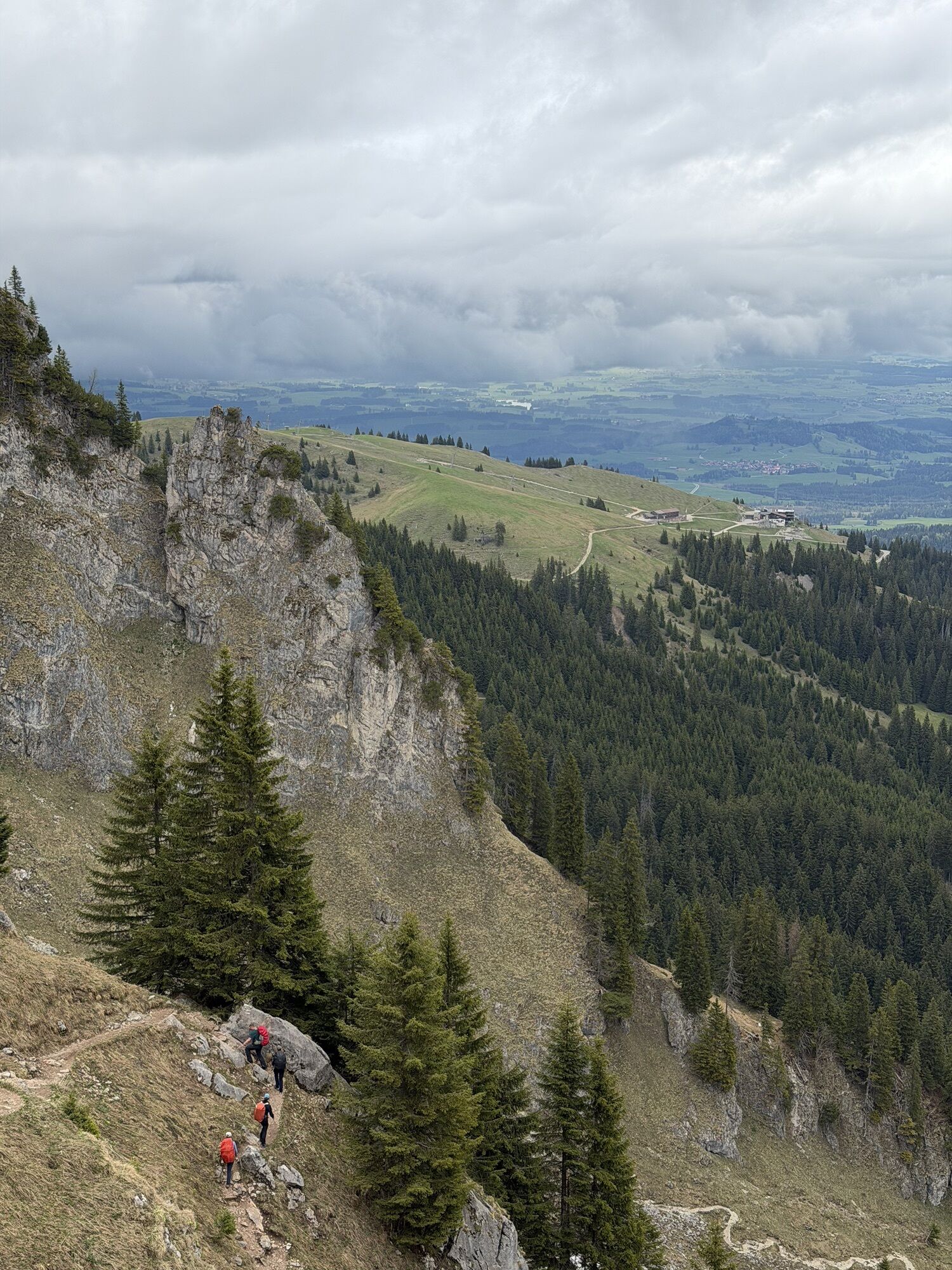
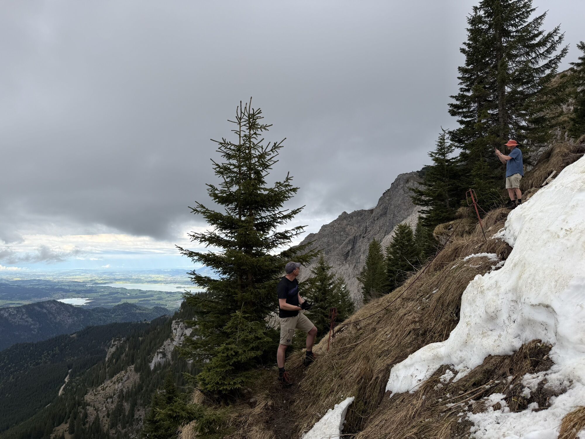
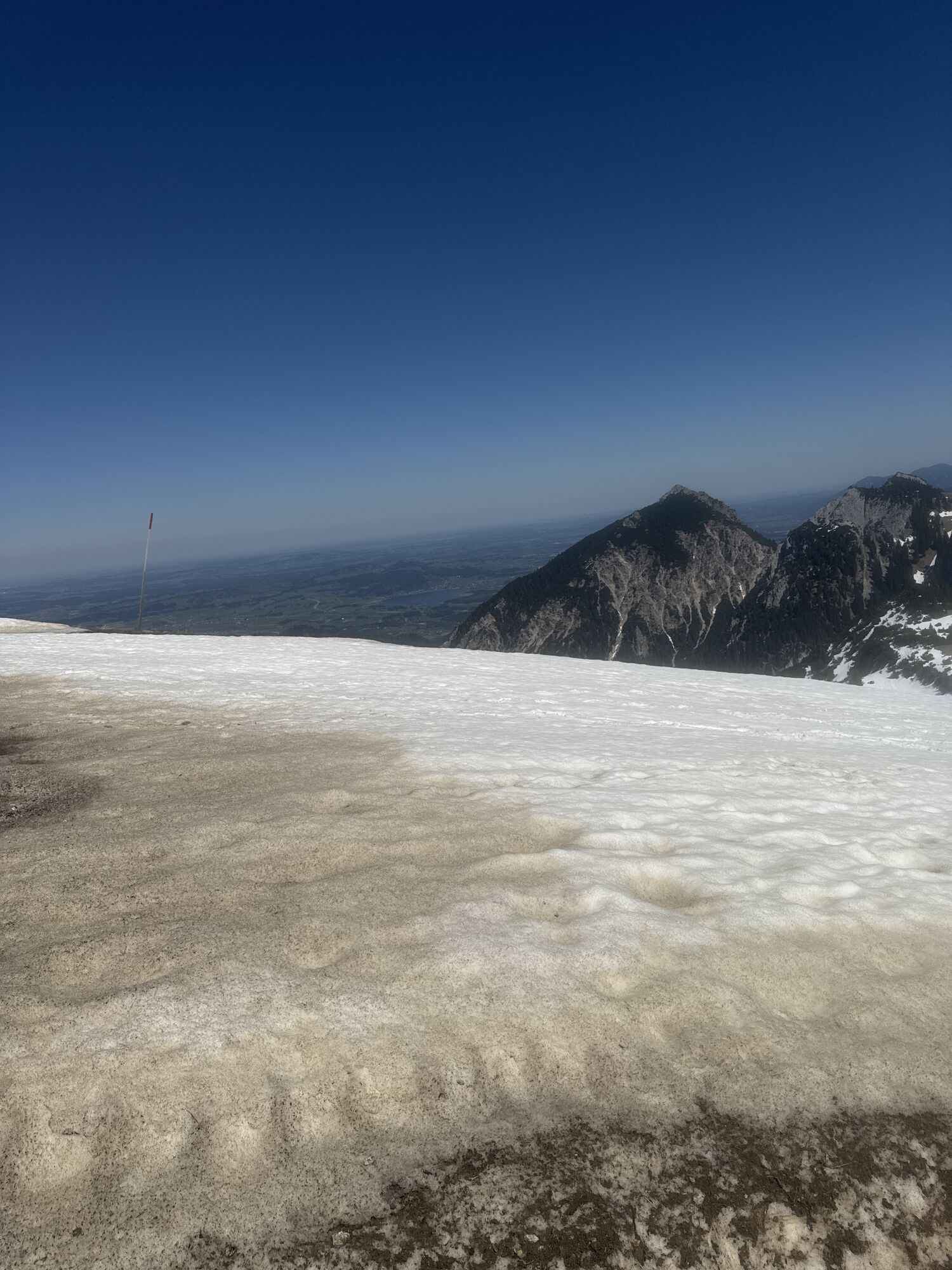
Definitely one of the most beautiful routes in the Tannheimer Tal. This dreamlike pleasure hike makes the hiking heart beat faster. From the alpine rose to the gentian, this hike offers a wonderful insight into the flora and fauna of the mountains. Not only the mountain flowers characterize this hike. Along the entire Gräner Höhenweg, you can enjoy the wonderful view of the Tannheimer Tal and the surrounding area.

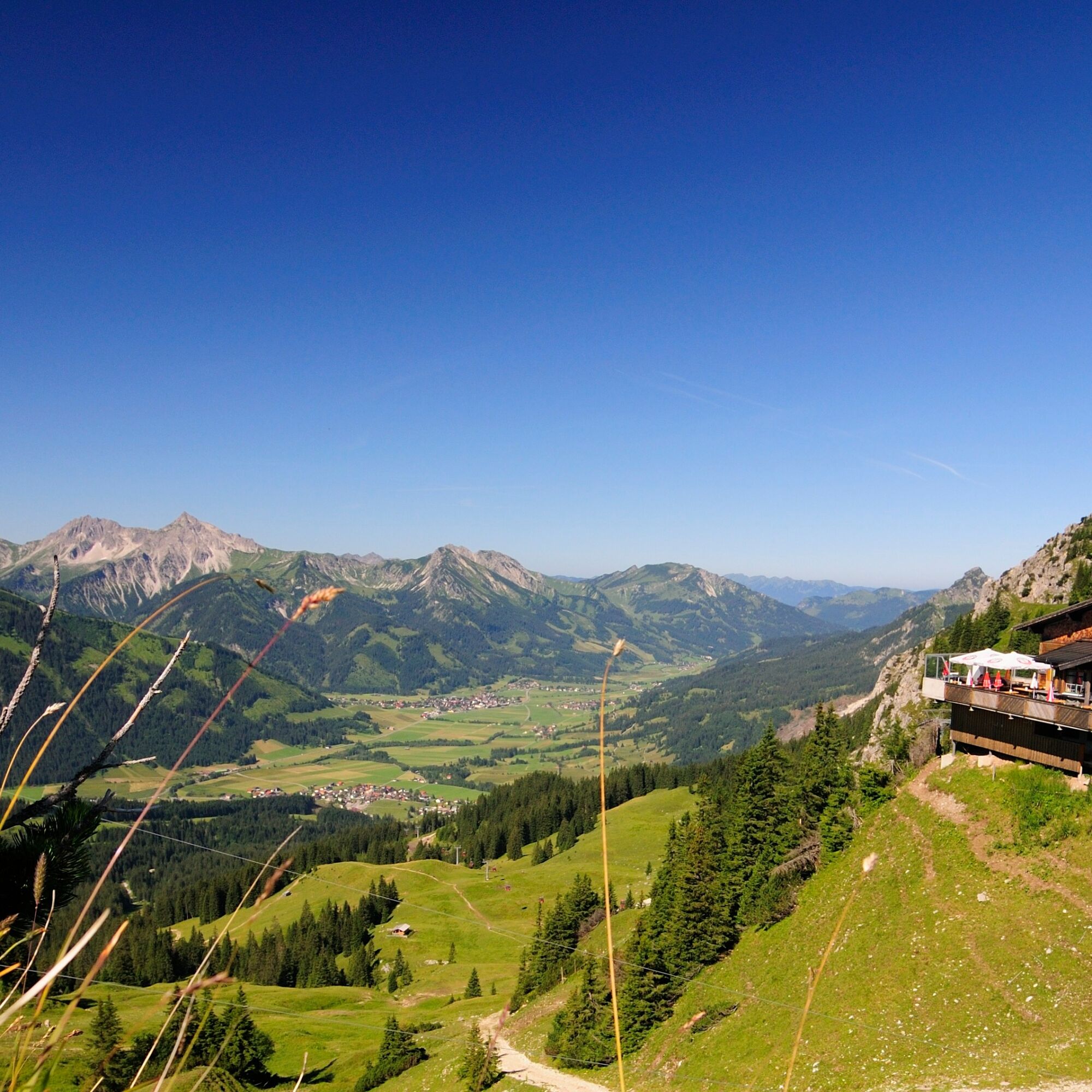
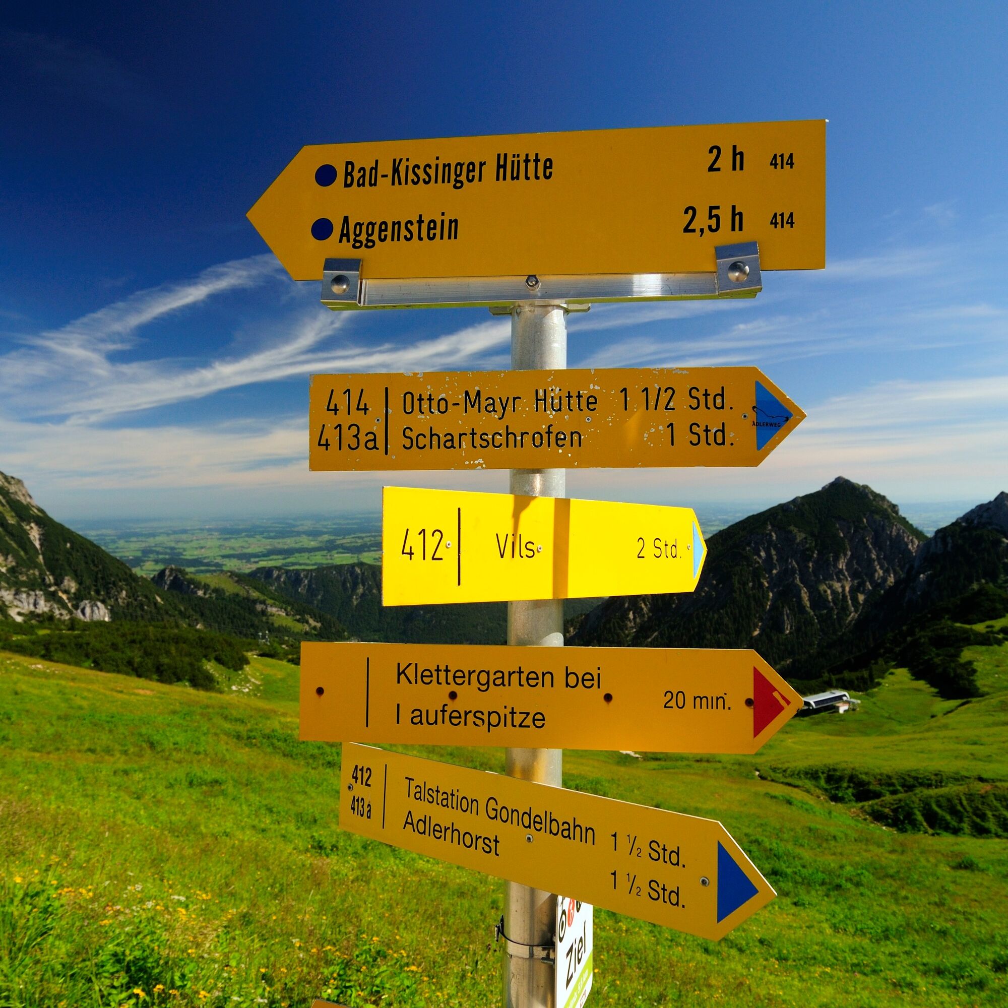

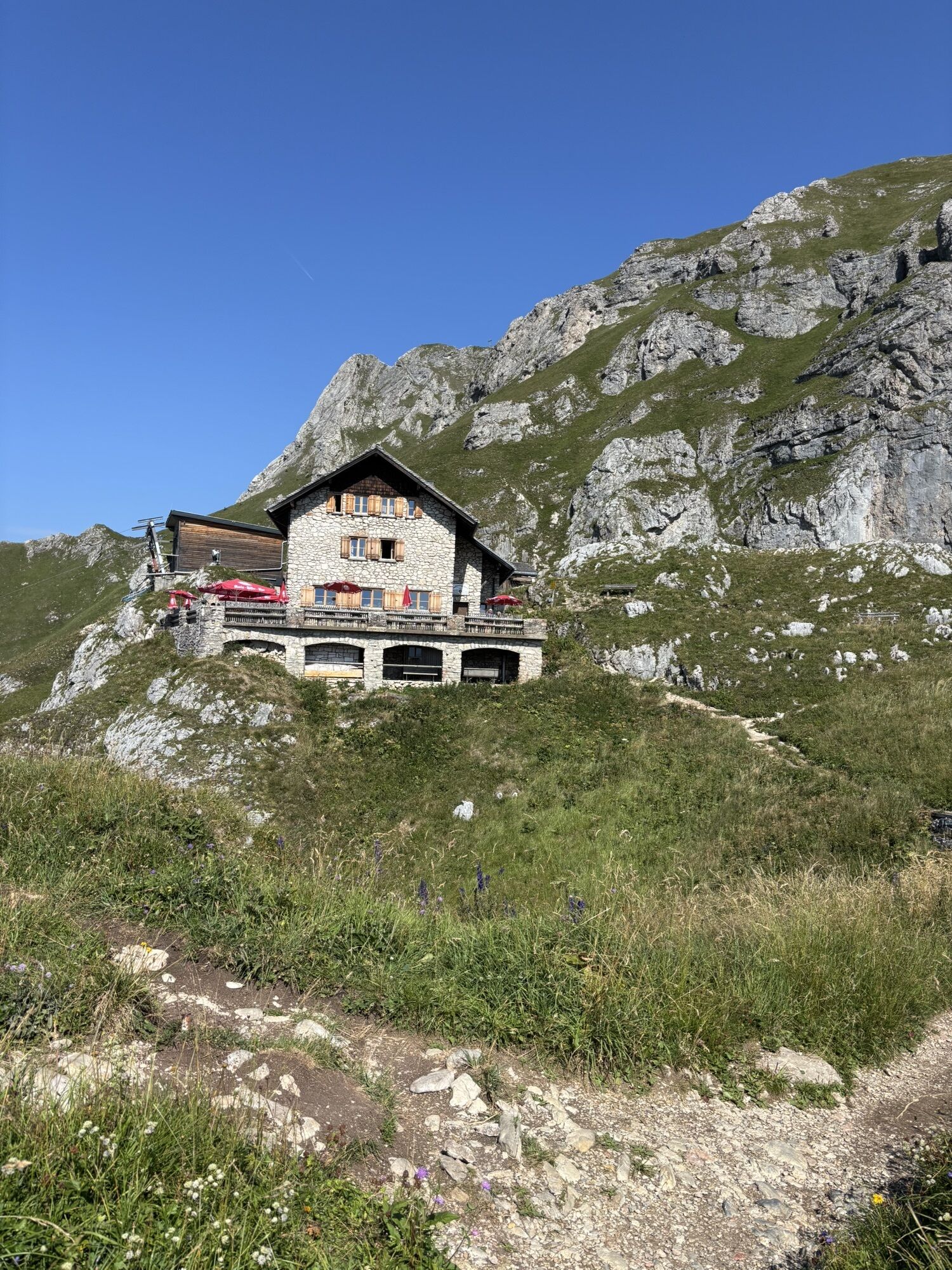
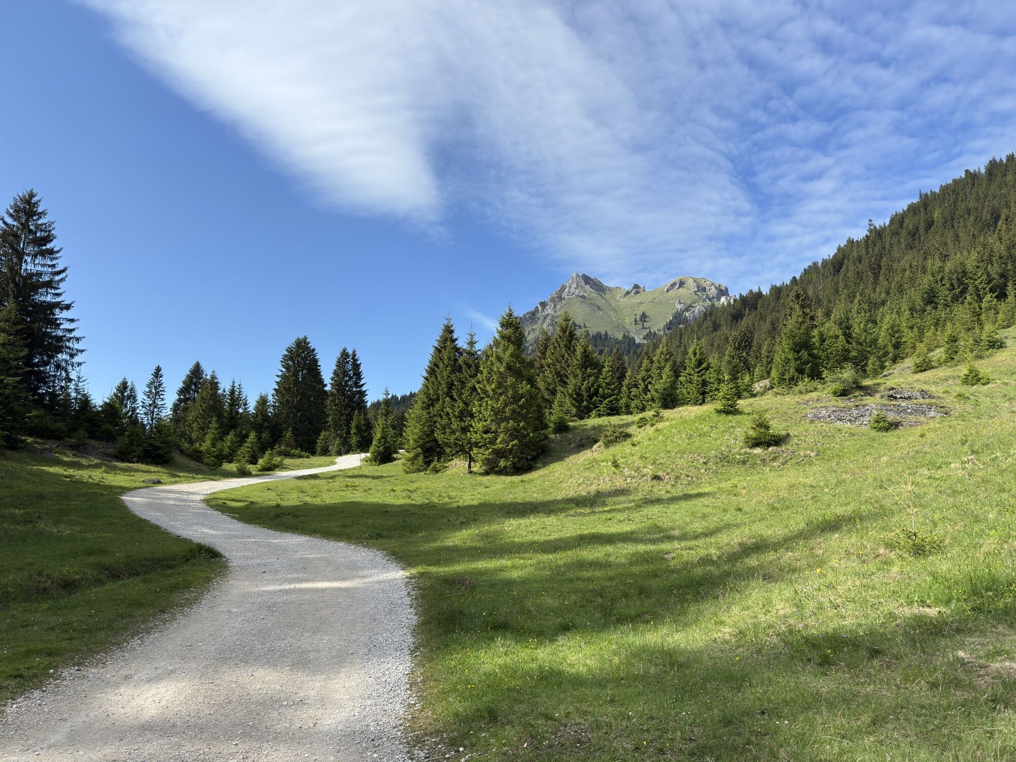
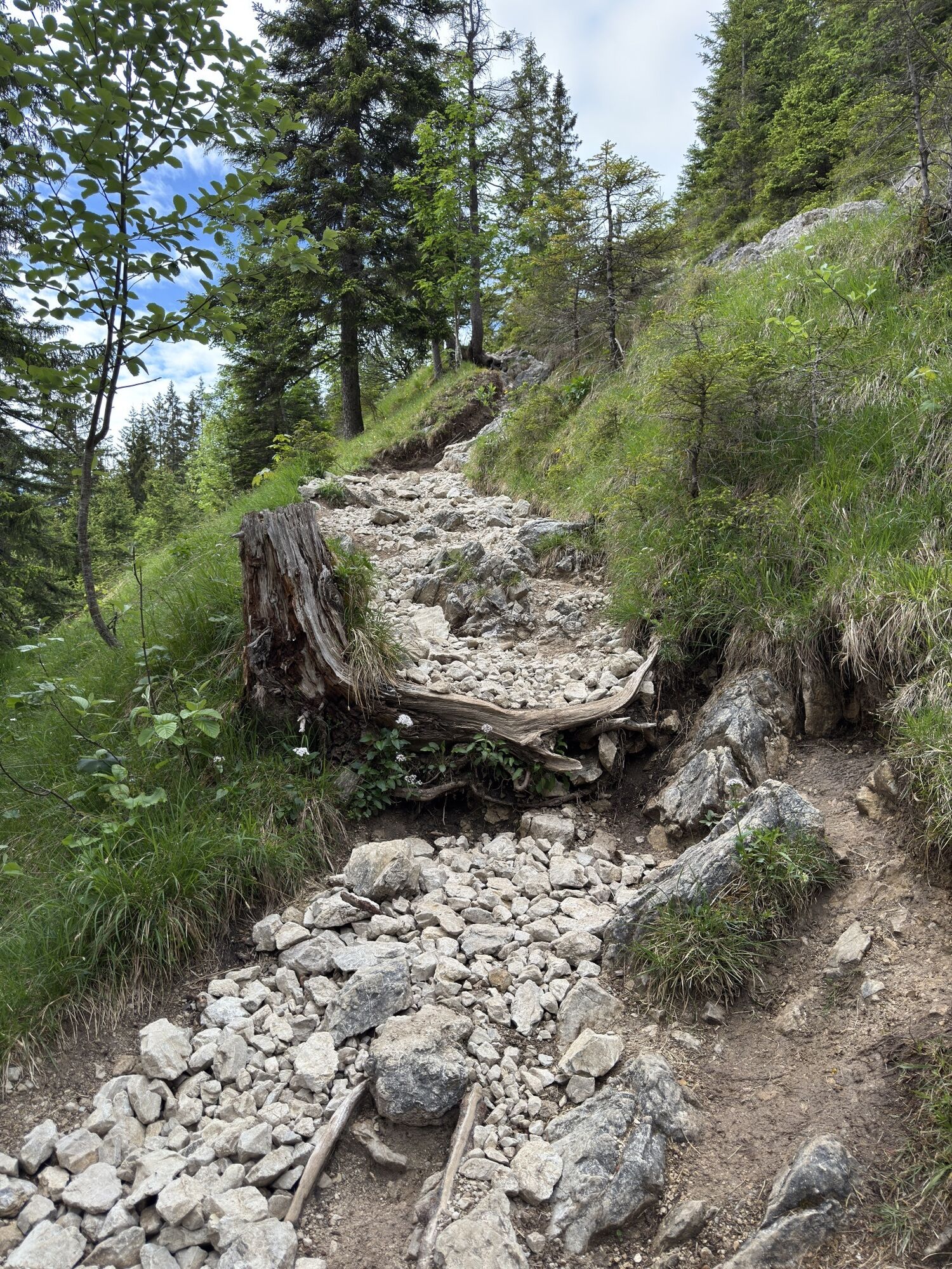
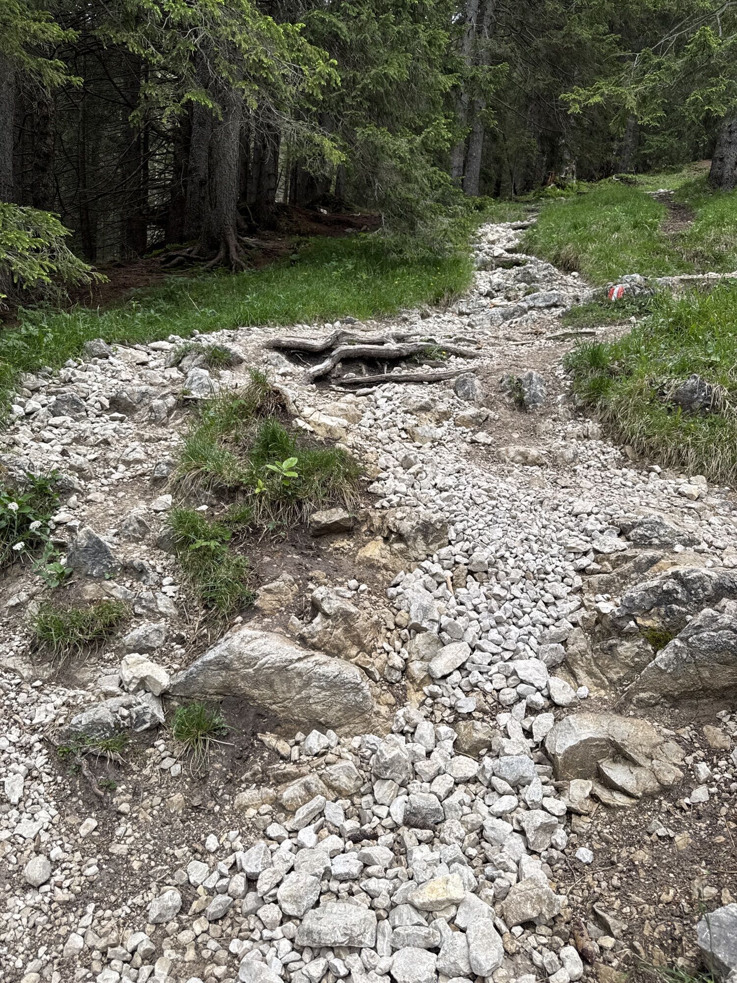
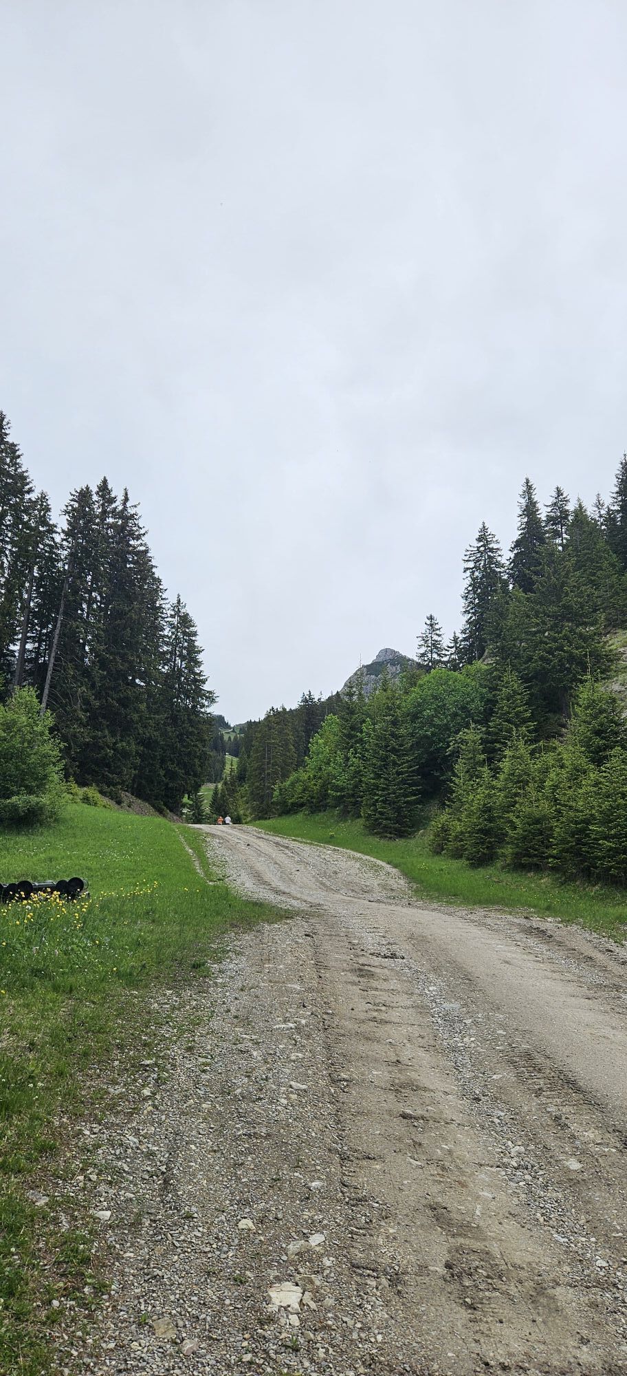
From the parking lot in Enge in Grän, the route goes up to the Bad Kissinger Hut (1788m) (overnight accommodation), from there over the Sebenalm (no hut) to the Füssener Jöchle, Sonnenalm mountain station. From there, the descent is via the valley run to Grän and then further via Lumberg back to the parking lot in Enge. The condition of the path along the entire route is good to very good.
Ano
Ano
Ano
Personal mountain sports equipment must be safe and functional and correspond to the respective technical standard. Every hiker is advised to inform themselves about the planned routes in alpine specialist literature or on site.
Note that mountain sports can involve an increased risk of accidents and injuries. Despite careful route planning, there is always a basic risk. Preparation through endurance training, appropriate technical training and education, as well as personal caution, reduces accident hazards and risks. But never forget that weather in the mountains can change very quickly. Stay on the marked hiking trails.
On the A7 motorway at the "Oy-Mittelberg" exit onto the B310 towards Wertach and then to Oberjoch. There, follow the signposted "Tannheimer Tal" B199, exit Grän, parking lot in the Enge district.
From the Tyrolean side via Reutte onto the B198 towards Lechtal to Weißenbach, over the Gaicht Pass along the B199 to exit Grän, parking lot in the Enge district.
By train to Sonthofen, Pfronten/Ried or Reutte, then by bus to Grän. Bus stop Enge.
Parking lot Grän/Enge, paid.
Tourist office Tannheimer Tal
Sonnenbergbahnen Grän
Bad Kissinger Hut
Sonnenalm
This mountain route was awarded the Tyrolean Mountain Trail quality seal in early July 2017 and promises quality and safety on the hiking and mountain trails, as well as special nature experiences.


Webové kamery z prohlídky
Tannheim
Neunerköpfle Mittelstation
Haldensee - Neunerköpfle
Skizentrum Steinach / Pfronten
Pfronten - Boutique Hotel Blaue Burg Falkenstein
Grän - Almdorf Tirol
Neunerköpfle Mittelstation
Neunerköpfle Mittelstation
Neunerköpfle Mittelstation
Neunerköpfle Mittelstation
Neunerköpfle Mittelstation
Neunerköpfle Mittelstation
Pfronten - Ostlerhütte
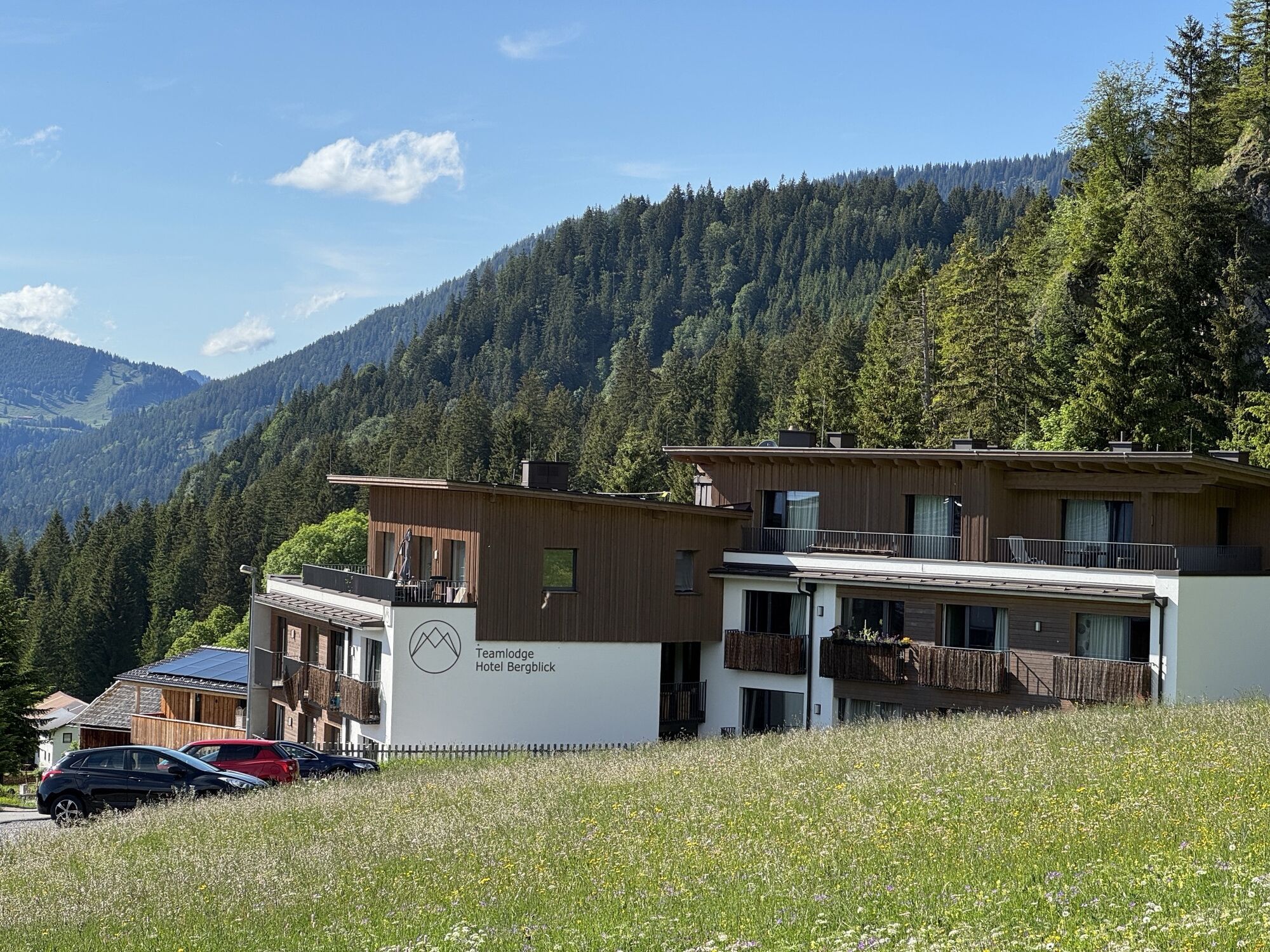
Grän - Hotel Bergblick
Füssener Jöchle Bergstation
Füssener Jöchle Bergstation
Füssener Jöchle Bergstation
Füssener Jöchle Bergstation
Füssener Jöchle Bergstation
Tannheimertal
Breitenbergbahn - Pfronten
Pfronten - Skizentrum
Füssener Jöchle Bergstation
Füssener Jöchle Bergstation
Haller
Haller
Haller
Haller
Gundhütte - Tannheimertal
Talstation Neunerköpfle - Tannheim
Získejte přehled Vždy živě na místě s více než 9 500 webkamerami. bergfex Jako uživatel Pro si nyní můžete zobrazit odpovídající webové kamery pro mnoho prohlídek v aplikaci prohlídky z. Můžete si tak přímo prohlédnout aktuální podmínky. 

Oblíbené prohlídky v okolí
- 4.7
Around Weißensee
světloTuristika 6.12 km - 5.0
Hiking tour to Breitenberg
heavyTuristika 15.6 km - 4.9
Gemeinde Grän, Tirol/Österreich Aggenstein Rundtour über Höhenweg
středníTuristika 9.84 km - 4.8
To the Bad Kissinger Hut via the Gräner Höhenweg
středníTuristika 13.0 km - 4.4
Rundwanderung Stuibenfälle
středníTuristika 3.92 km - 4.8
Tannheim / Vilsalpsee / Landsberger Hütte
středníTuristika 15.7 km - 4.8
Iseler und Kühgundkopf
středníTuristika 7.63 km - 4.2
Tříjezerní túra (oceněná Pečetí kvality Tyrolské horské stezky)
středníTuristika 14.8 km - 4.7
3-Gipfel-Tour
středníTuristika 11.2 km - 4.6
3-Seen Rundtour Vilsalpsee / Schrecksee / Traualpsee
středníTuristika 17.1 km
Pěší turistika a stopování


Nenechte si ujít nabídky a inspiraci pro vaši příští dovolenou
Vaše e-mailová adresa byl přidán do poštovního seznamu.





