







AREA47 Trailrun
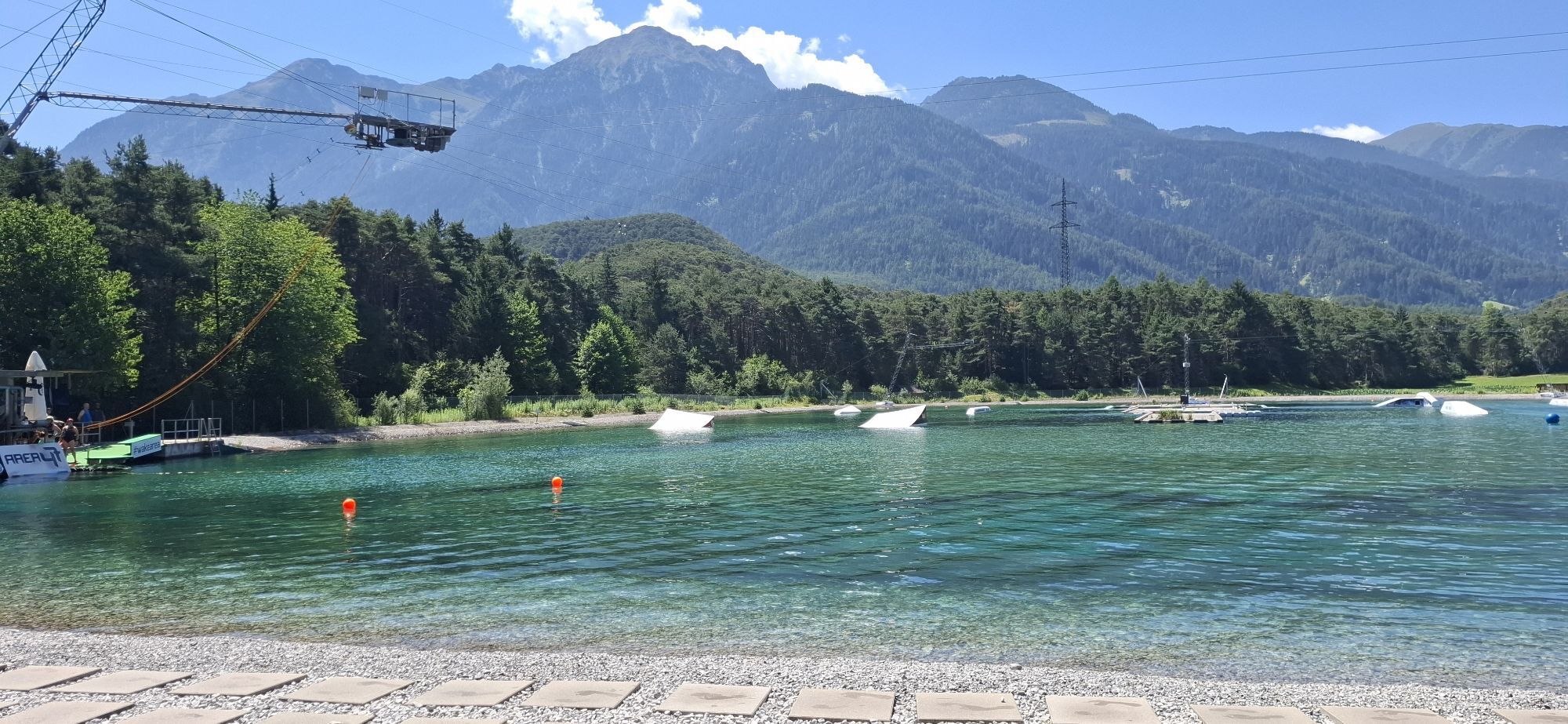
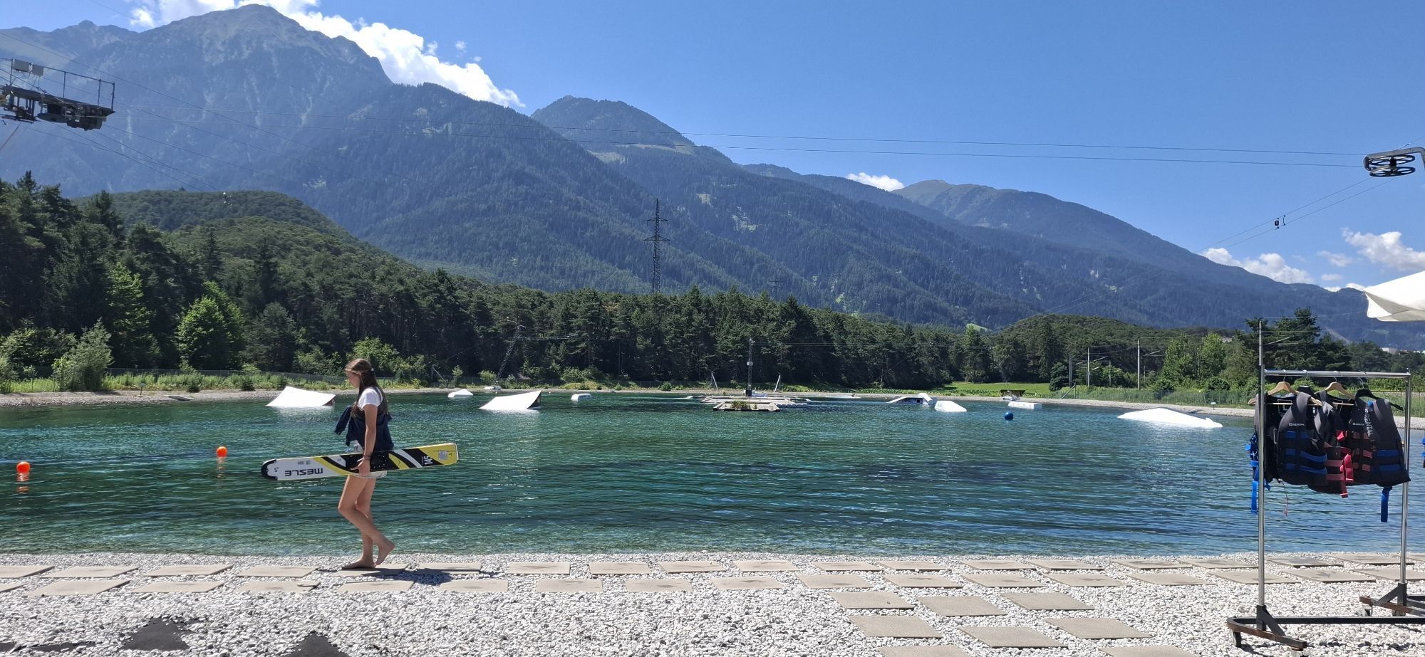
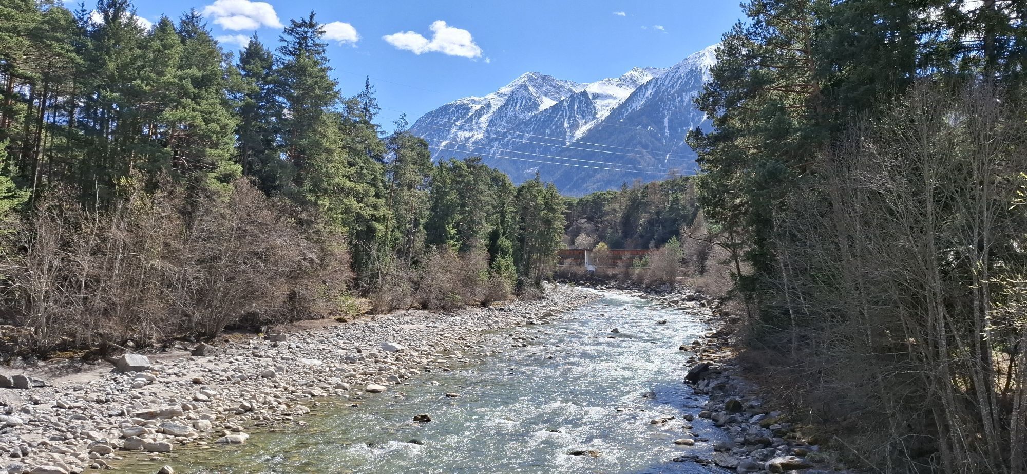
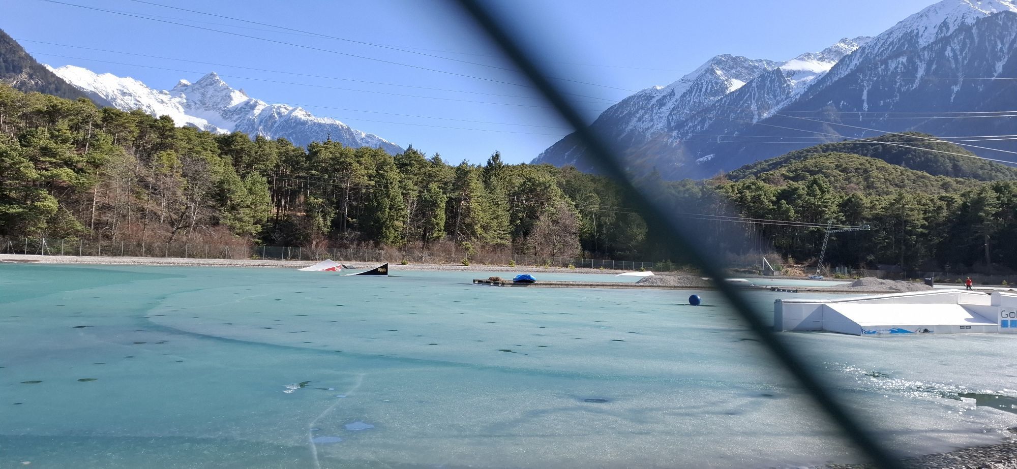
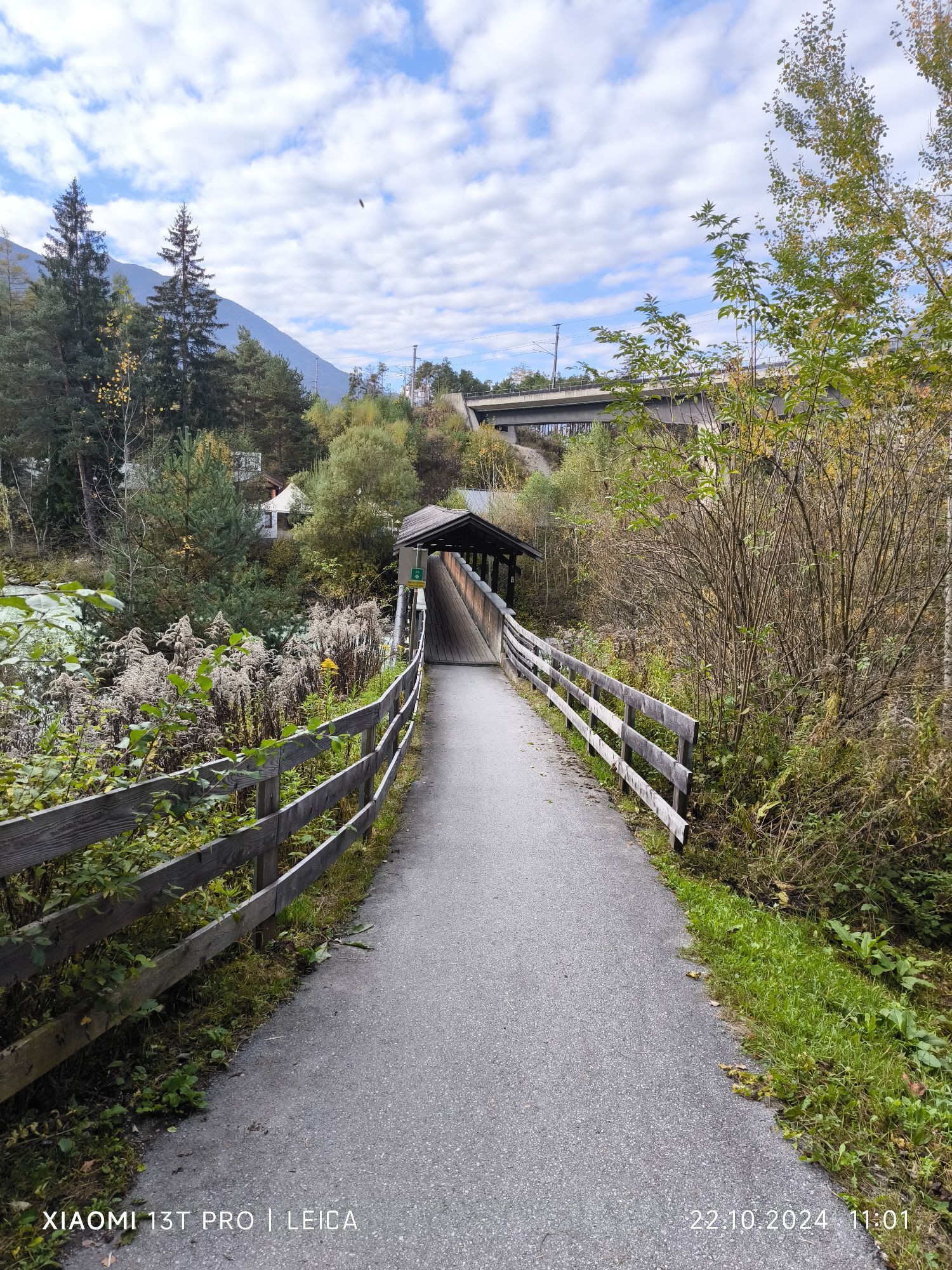
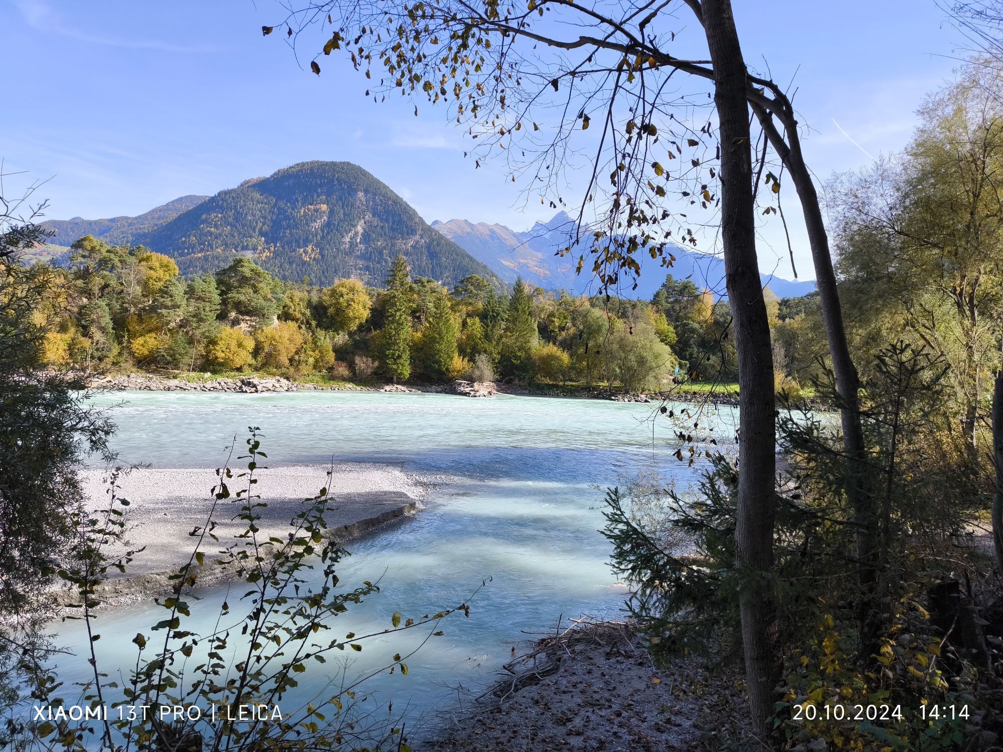
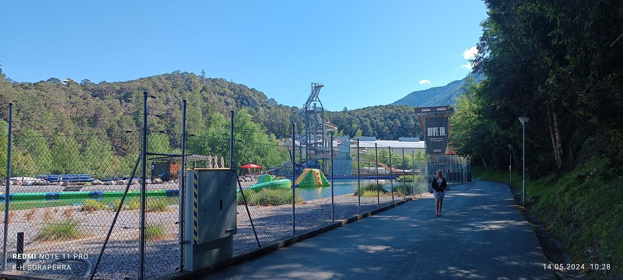
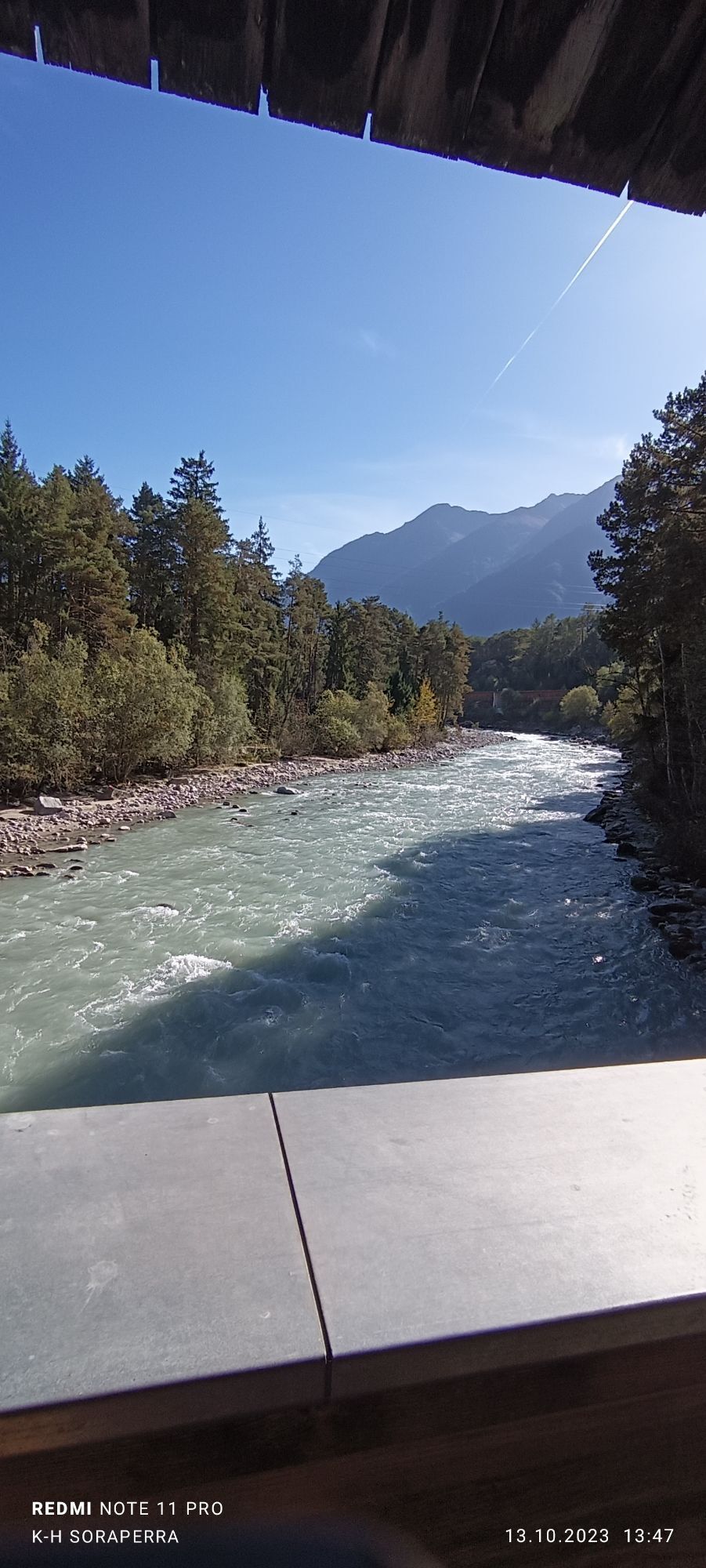
The trail starts directly at the AREA47 parking lot at the entrance to the Ötztal. Over the bridge, it crosses the Ötztaler Ache towards the “River House” and past the bathing lake and accommodations until...
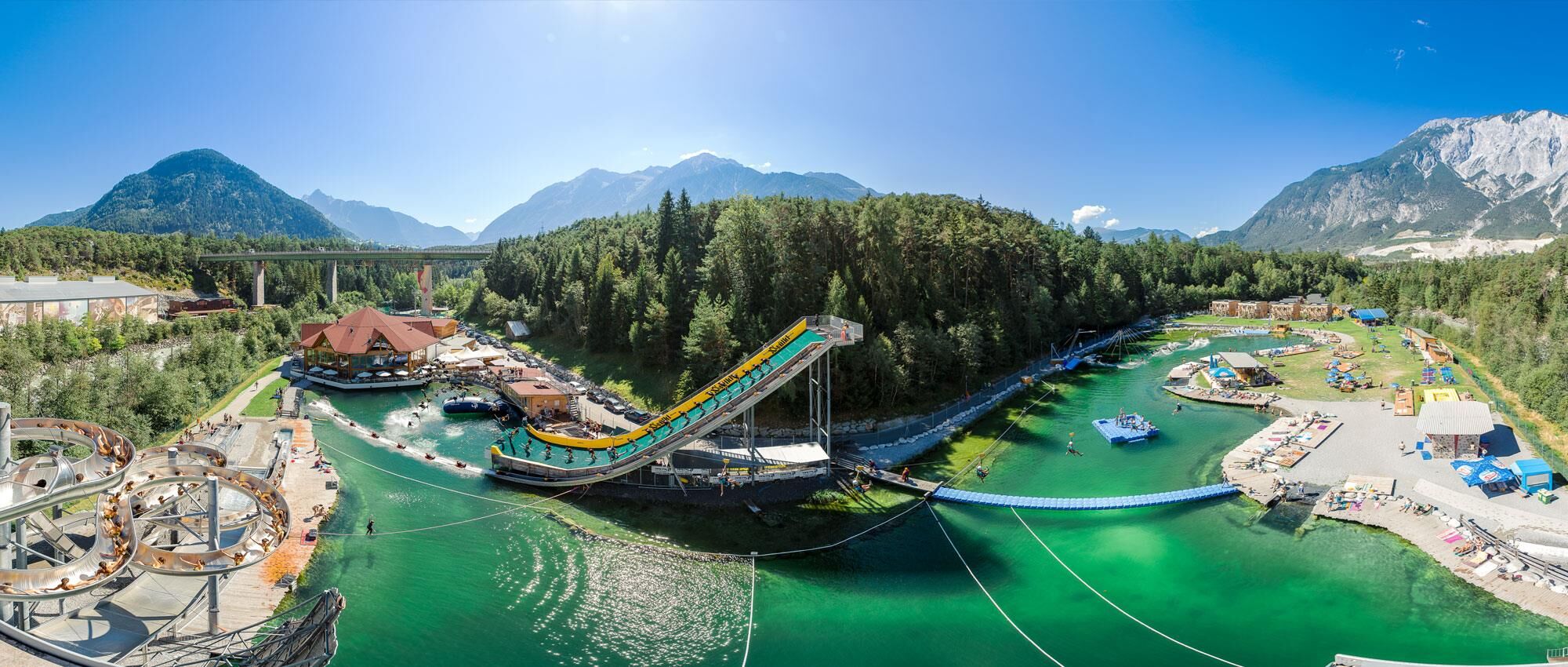
The trail starts directly at the AREA47 parking lot at the entrance to the Ötztal. Over the bridge, it crosses the Ötztaler Ache towards the “River House” and past the bathing lake and accommodations until turning left into a pine forest. From there, you run a slight up and down loop with few elevation meters until you reach the open meadows near the river “Inn”. From there, you pass the “Wakeboard Area” and shortly cross the Ötztaler Ache again heading south to return to the starting point at the AREA47 parking lot via a final forest loop.



Ano
Ano
Trail running school, rain jacket, possibly hydration equipment. Due to the short length of the route, high alpine equipment is generally not necessary.
Please observe any path closures. During the summer months, many hikers or walkers are also on this route, please show mutual consideration.
Alpine emergency number: 140
Travel safely!
Download the mountain rescue emergency app in advance. If you need help, you can send your exact coordinates via the app.
EMERGENCY APP for download:
Android: https://play.google.com/store/apps/details?id=at.tirol_notfall&hl=de
iPhone: https://apps.apple.com/at/app/sos-eu-alp/id400099520
Travel by car leads through the Inn Valley to the valley entrance and at the Ötztal roundabout towards the AREA47 signs. In addition to the toll motorway, country roads can also be used. You can quickly and conveniently determine your route with the route planner. To the route planner: www.google.at/maps
Travel comfortably and safely by train. The final stop or exit point is the ÖTZTAL station. Afterwards, you can conveniently and quickly continue by public transport or local taxi companies to the AREA47. The current bus schedule is available at: fahrplan.vvt.at
A large free parking lot is located directly at AREA47.
Získejte přehled
Vždy živě na místě s více než 9 500 webkamerami. bergfex Jako uživatel Pro si nyní můžete zobrazit odpovídající webové kamery pro mnoho prohlídek v aplikaci prohlídky z. Můžete si tak přímo prohlédnout aktuální podmínky.
Oblíbené prohlídky v okolí
-
4.6
Trip Tirol ➤ Hike to the Blue Grotto in Rosengarten Gorge Imst
středníTuristika 4.86 km -
4.3
Hike Stuibenfall - Umhausen
světloTuristika 2.95 km -
4.3
Stuibenfall Umhausen circular hike
světloTuristika 9.32 km -
4.5
Oetz - Piburger See - Oetz
středníTuristika 7.16 km -
4.7
Summit route Faltegartenköpfl
středníTuristika 4.04 km -
4.8
lake Piburger See
světloTuristika 2.75 km -
4.4
Umhausen - Stuibenfall - Umhausen
středníTuristika 7.94 km -
4.1
Arzkasten - Lehnberghaus
světloTuristika 3.08 km -
4.5
Summit route Weather Cross from Hochoetz
středníTuristika 3.06 km -
5.0
Larstigalm - Niederthai
světloTuristika 3.24 km
Pěší turistika a stopování


Nenechte si ujít nabídky a inspiraci pro vaši příští dovolenou
Vaše e-mailová adresa byl přidán do poštovního seznamu.





