





Knappenweg Crossing
Úroveň obtížnosti: T3
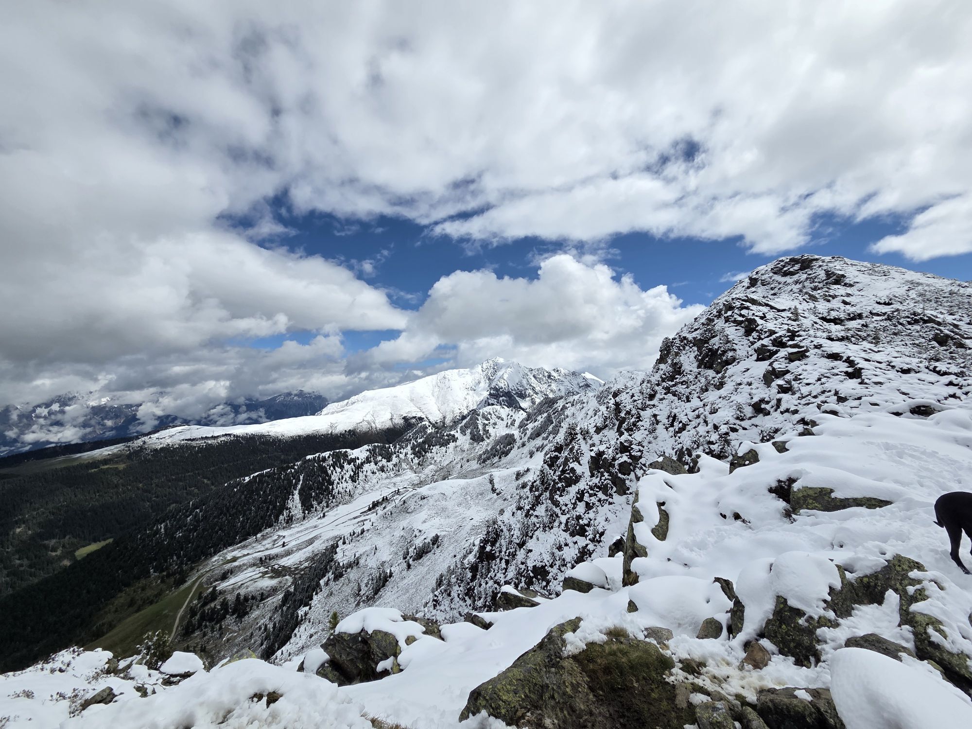
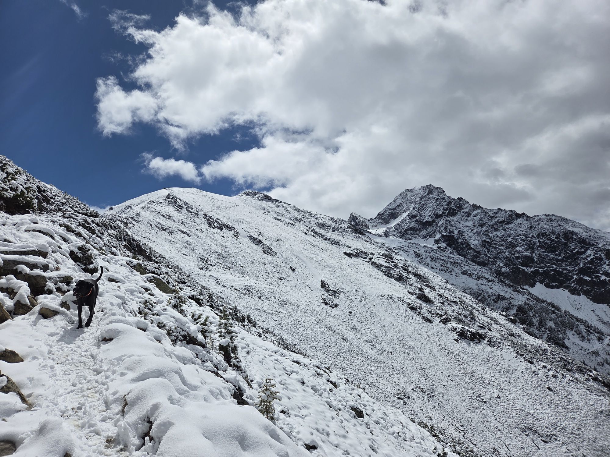
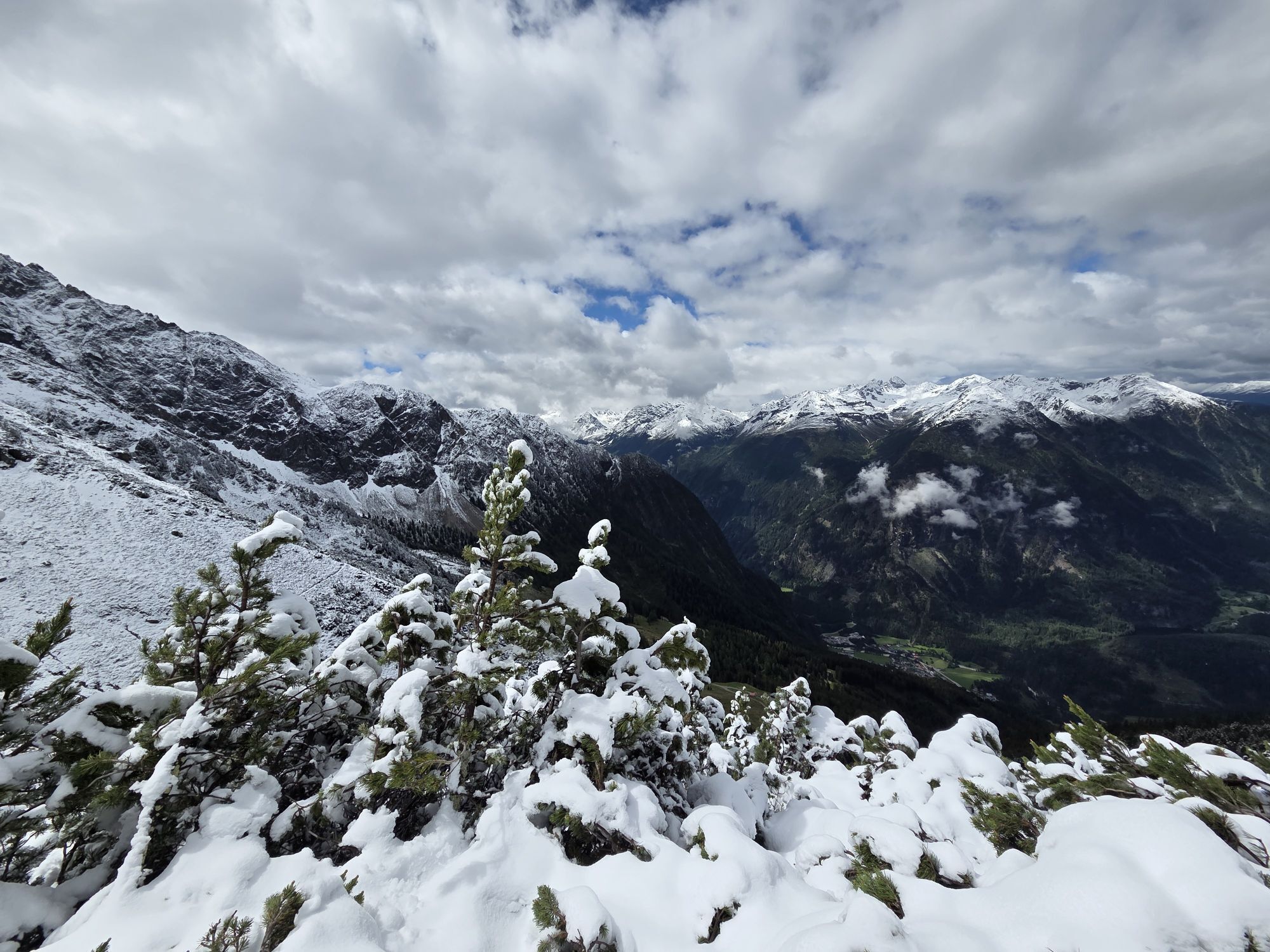
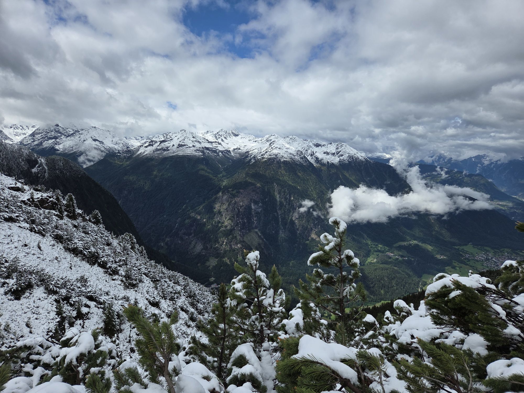
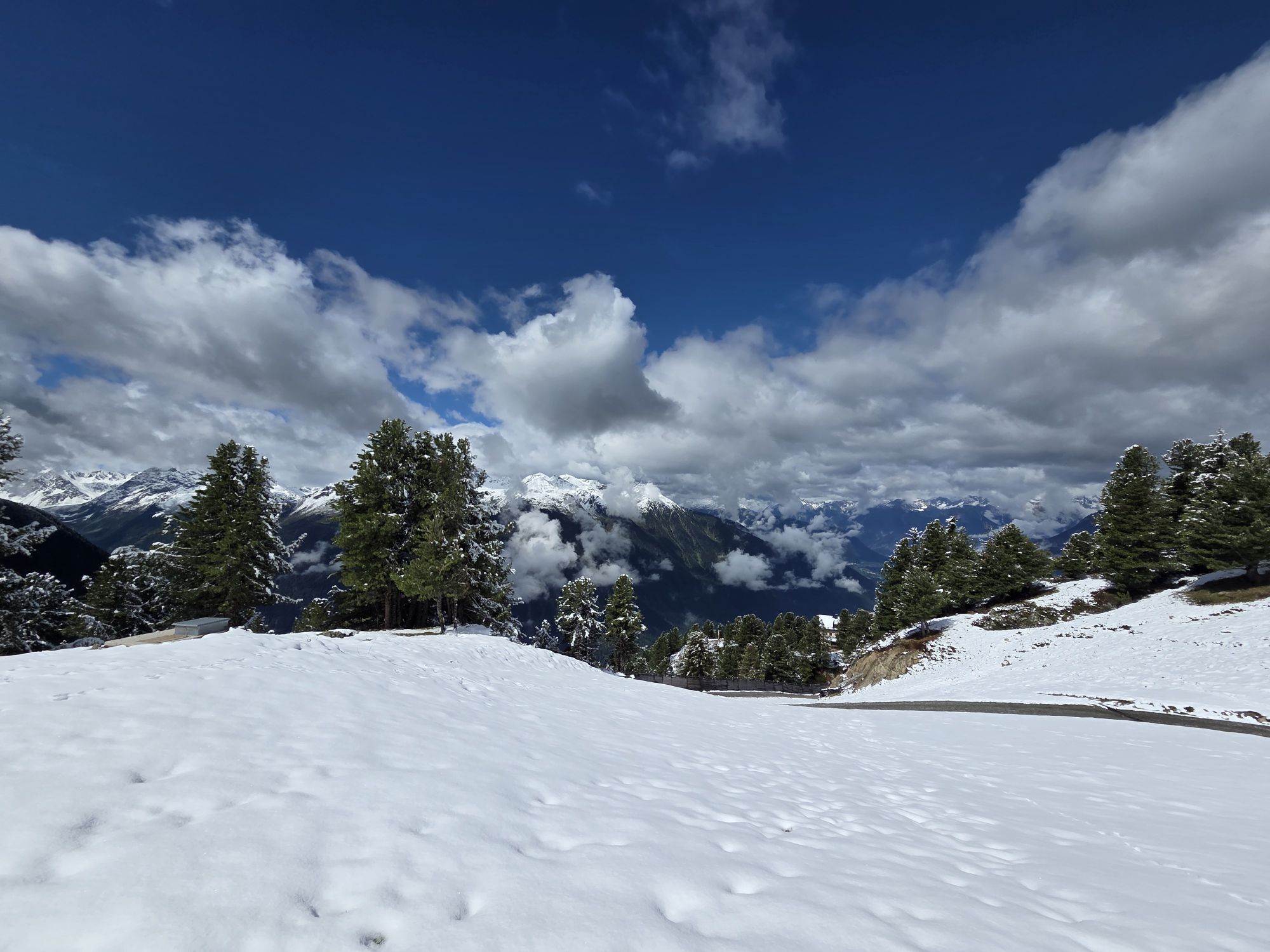
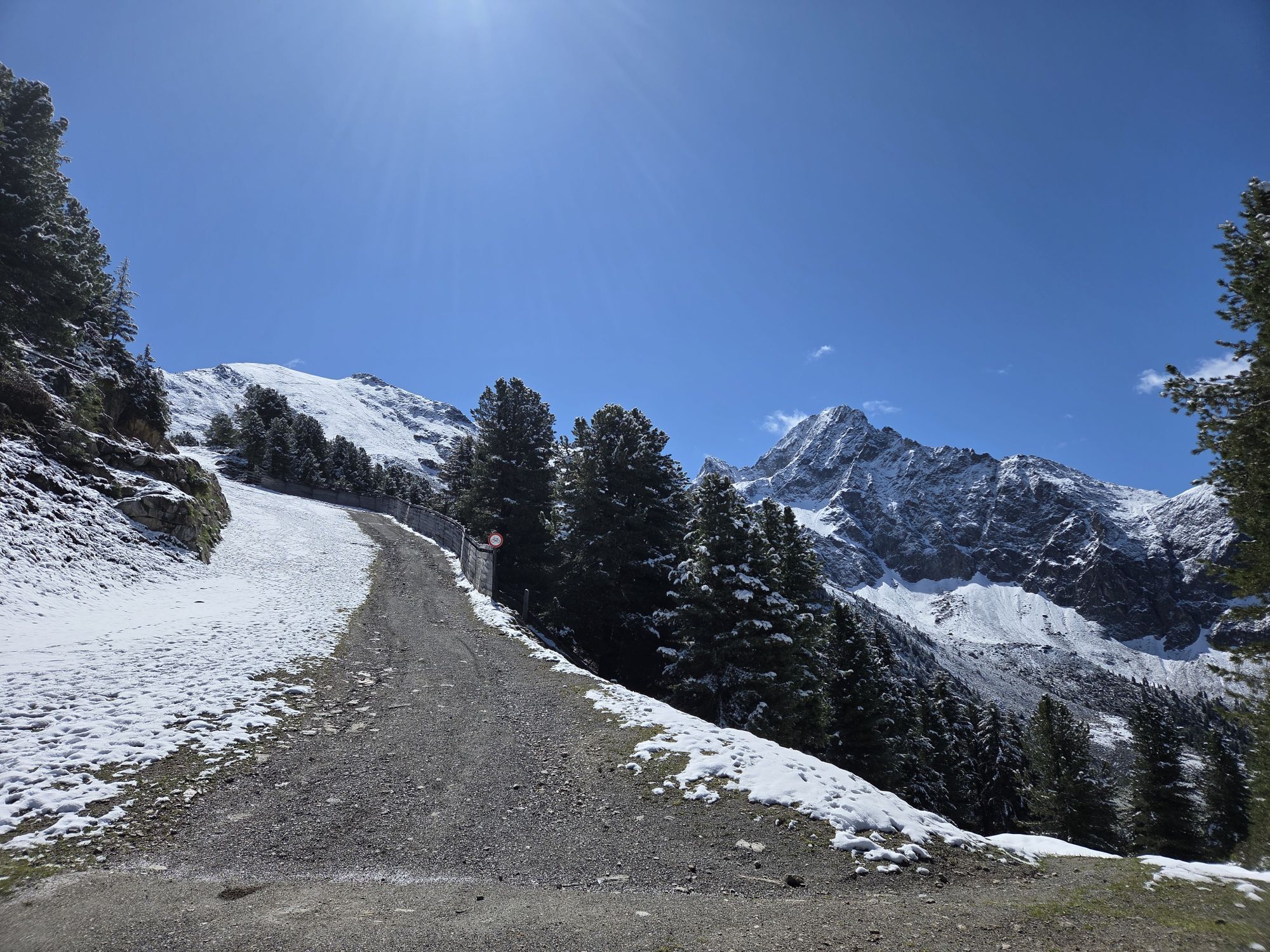
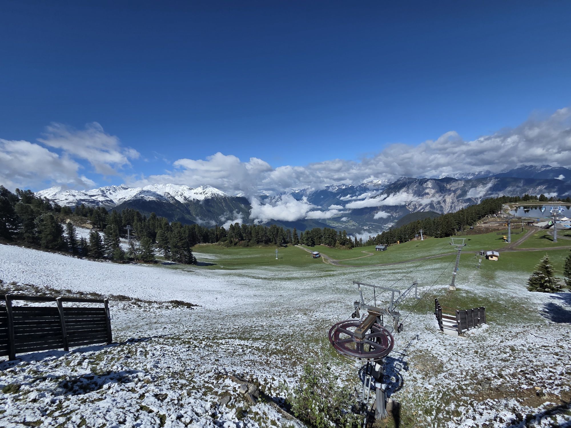
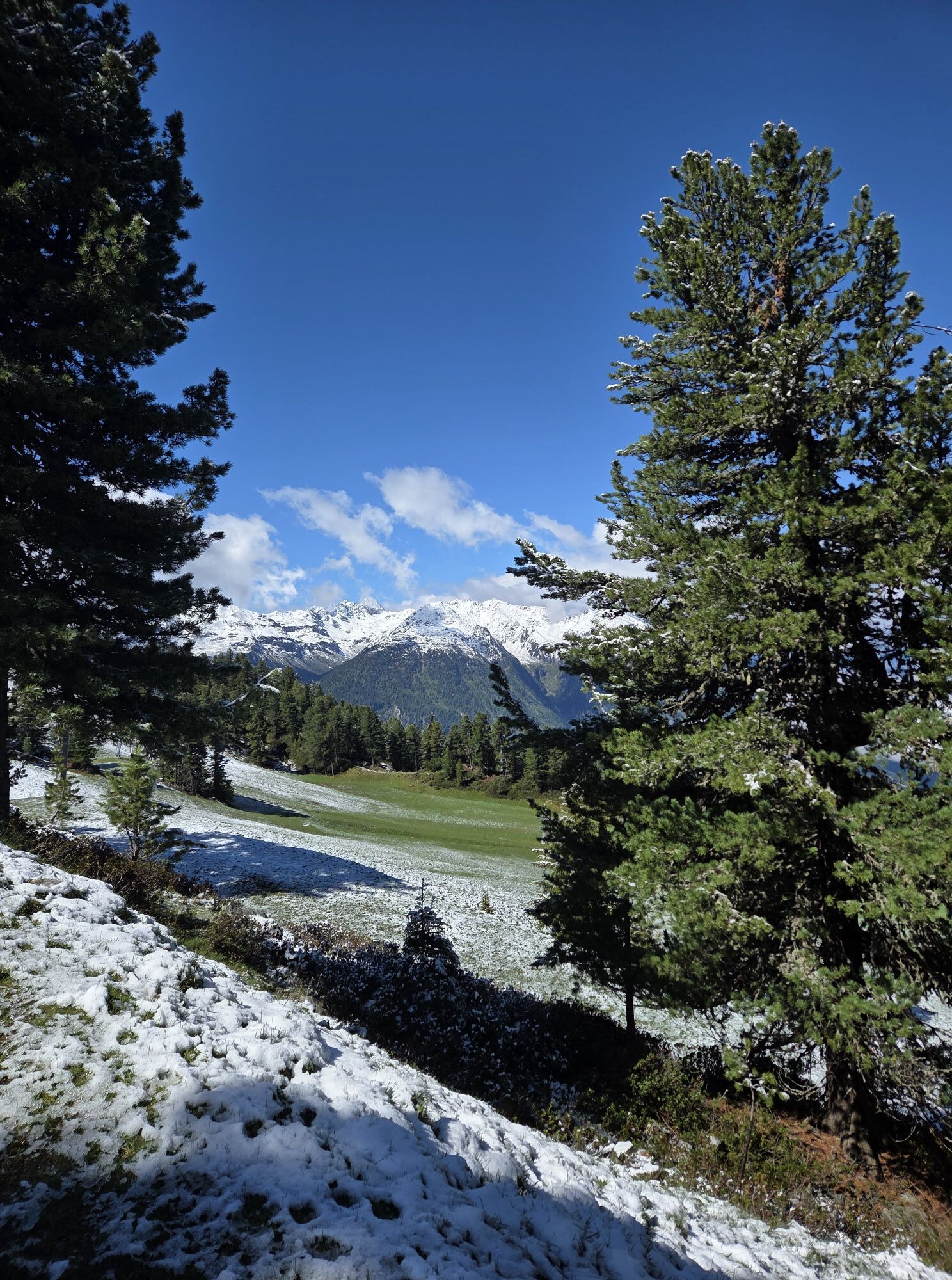
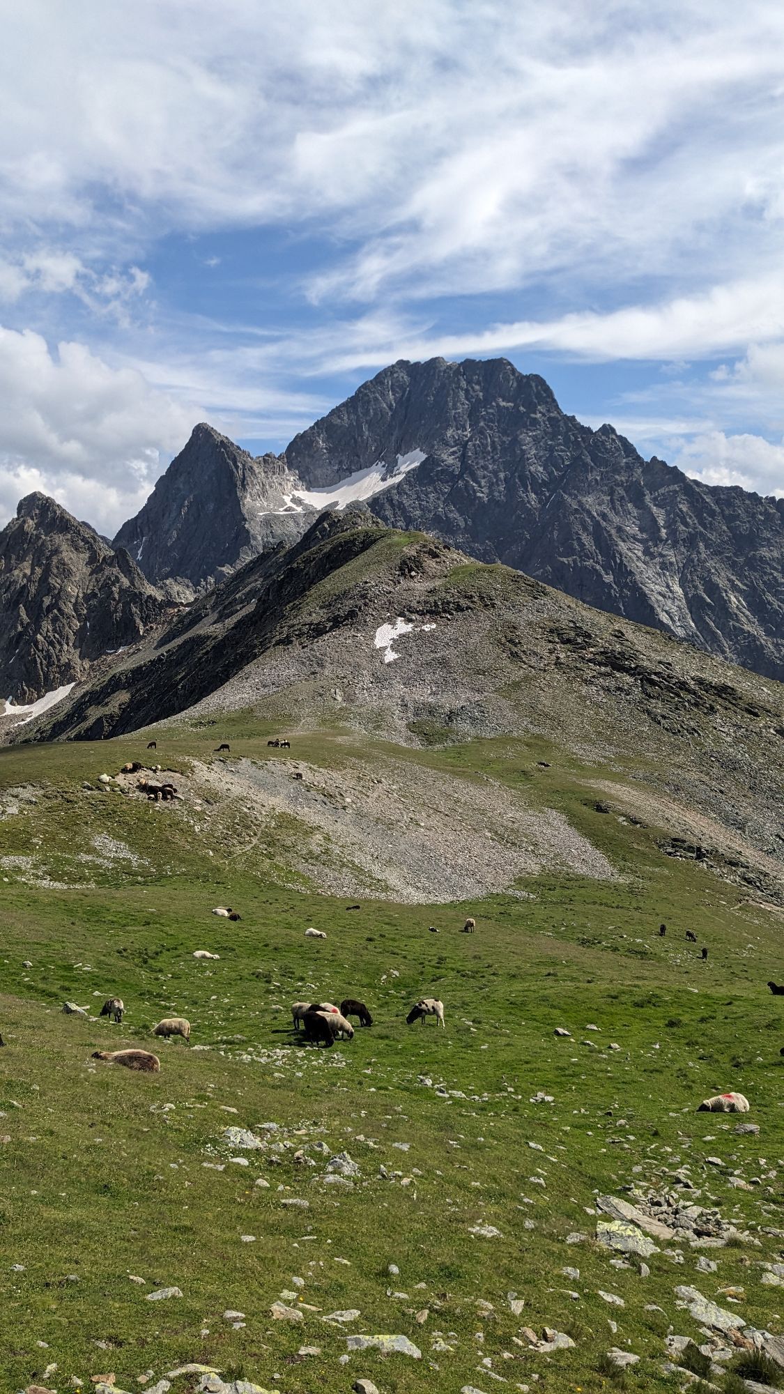
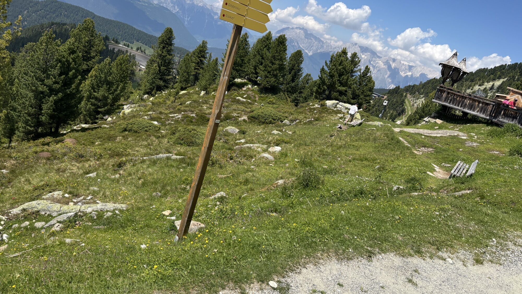
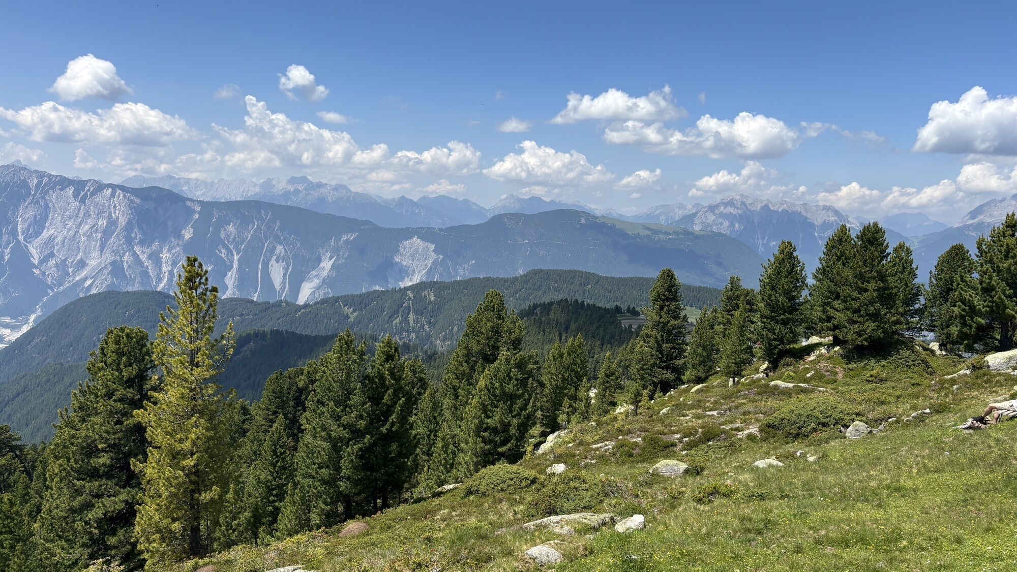
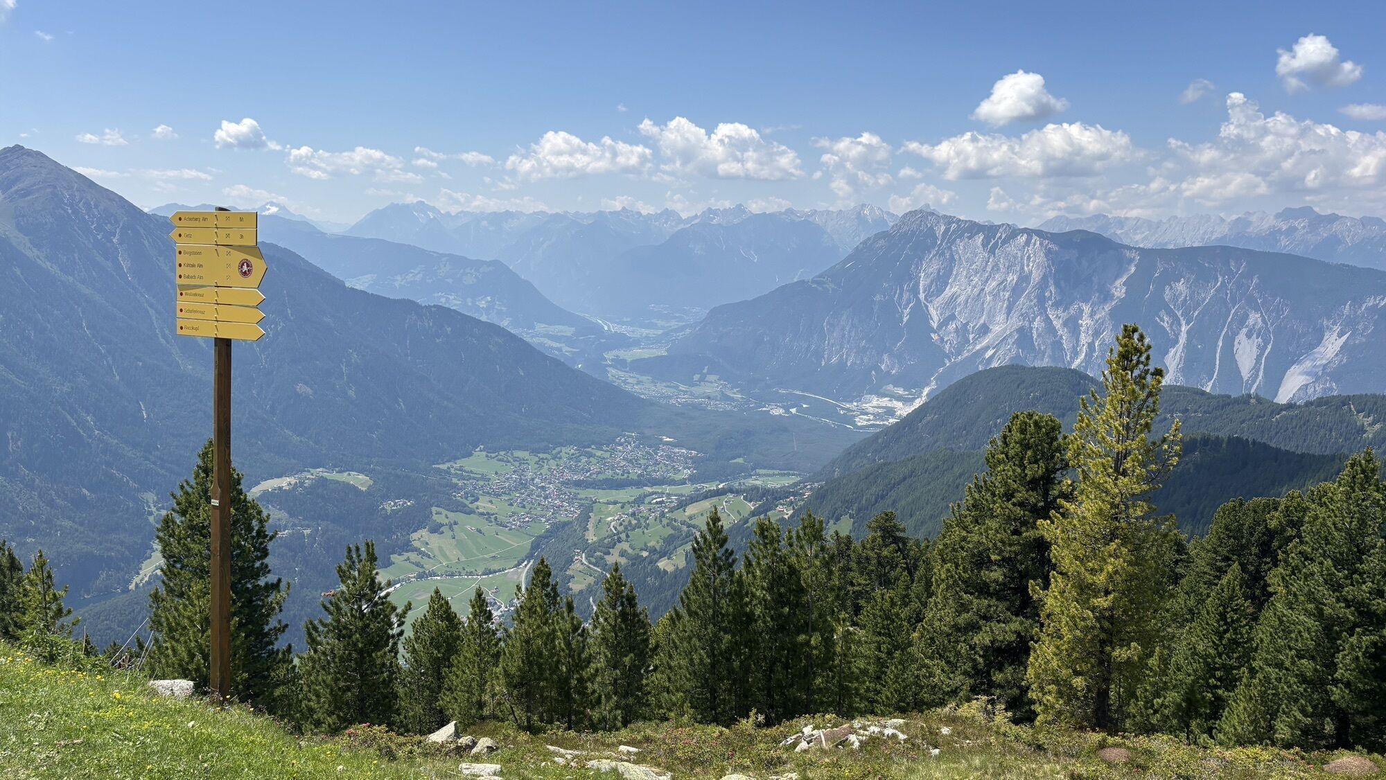
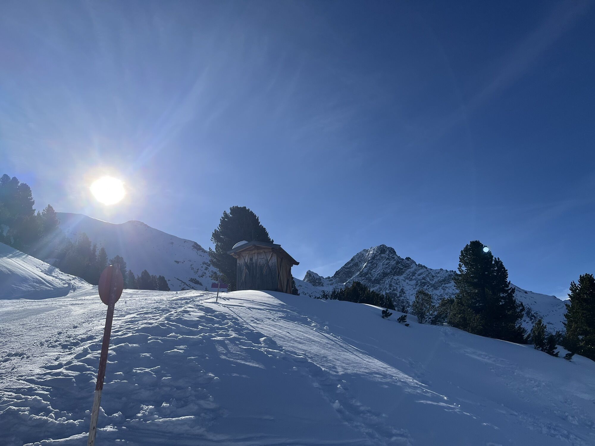
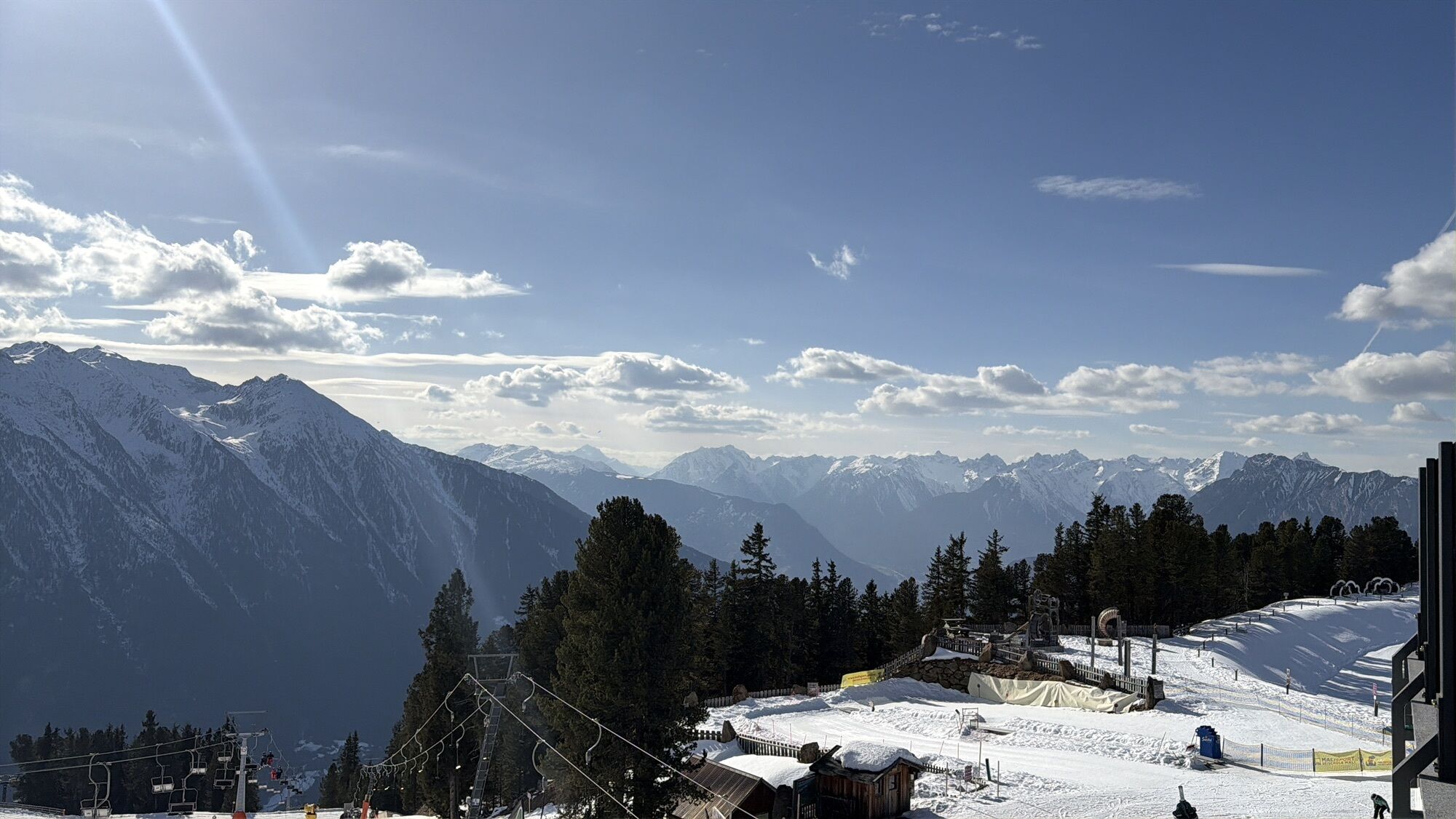
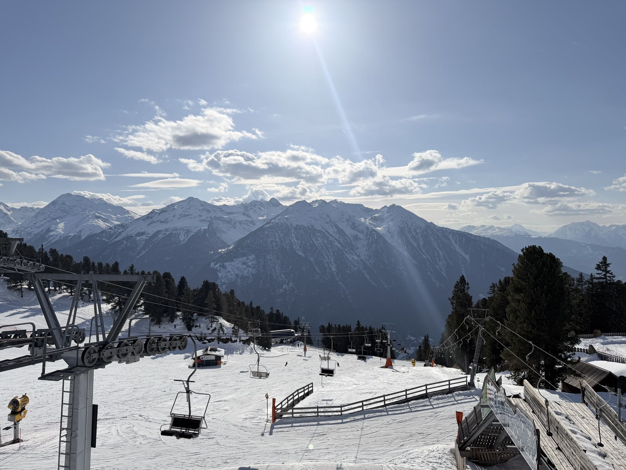
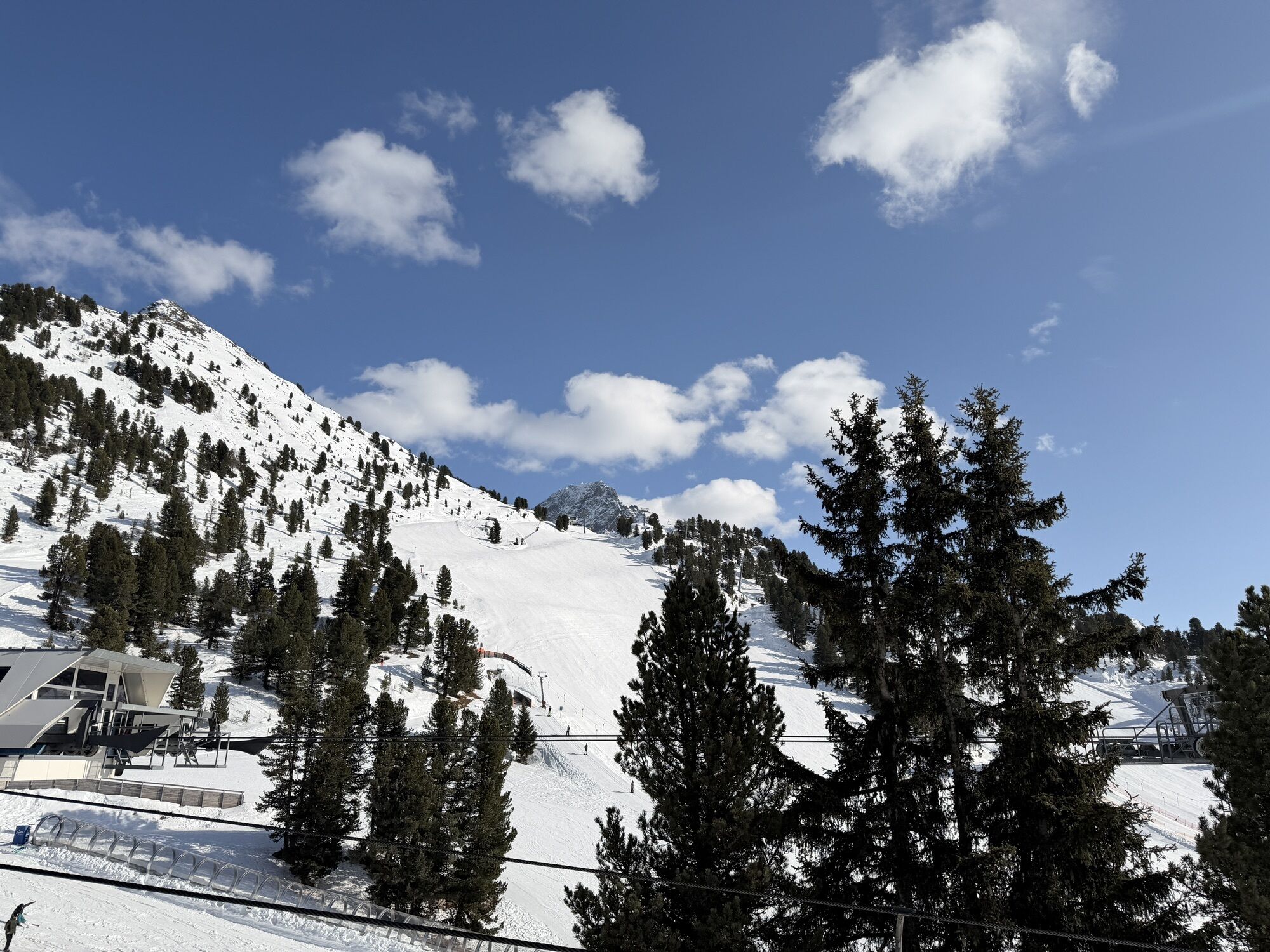
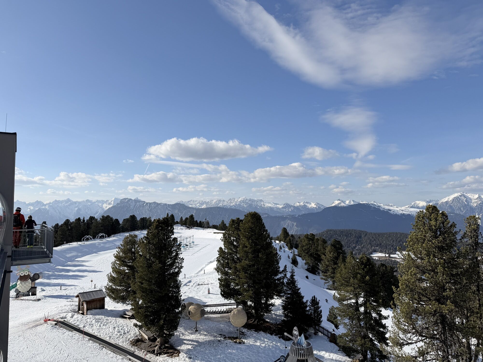
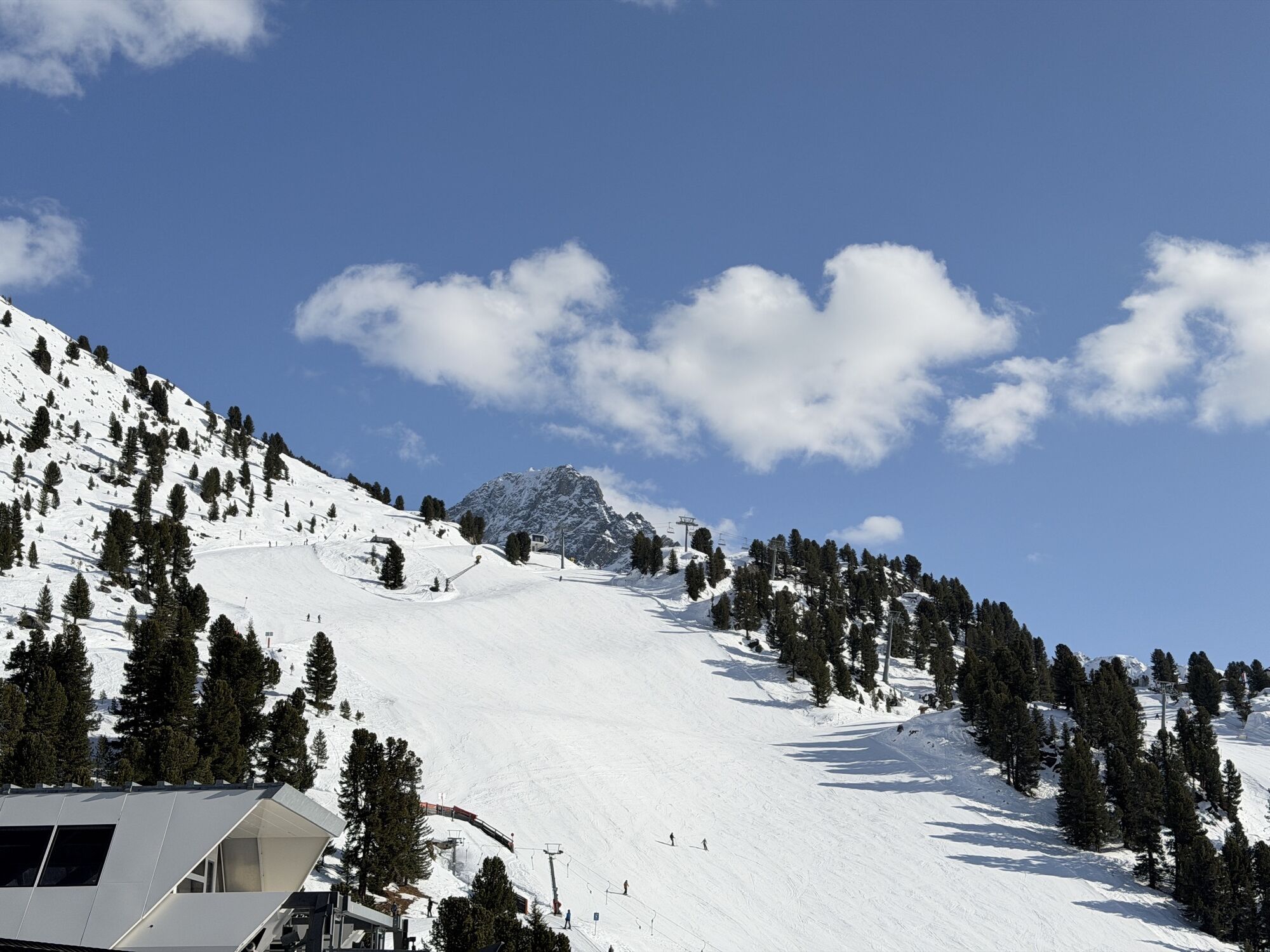
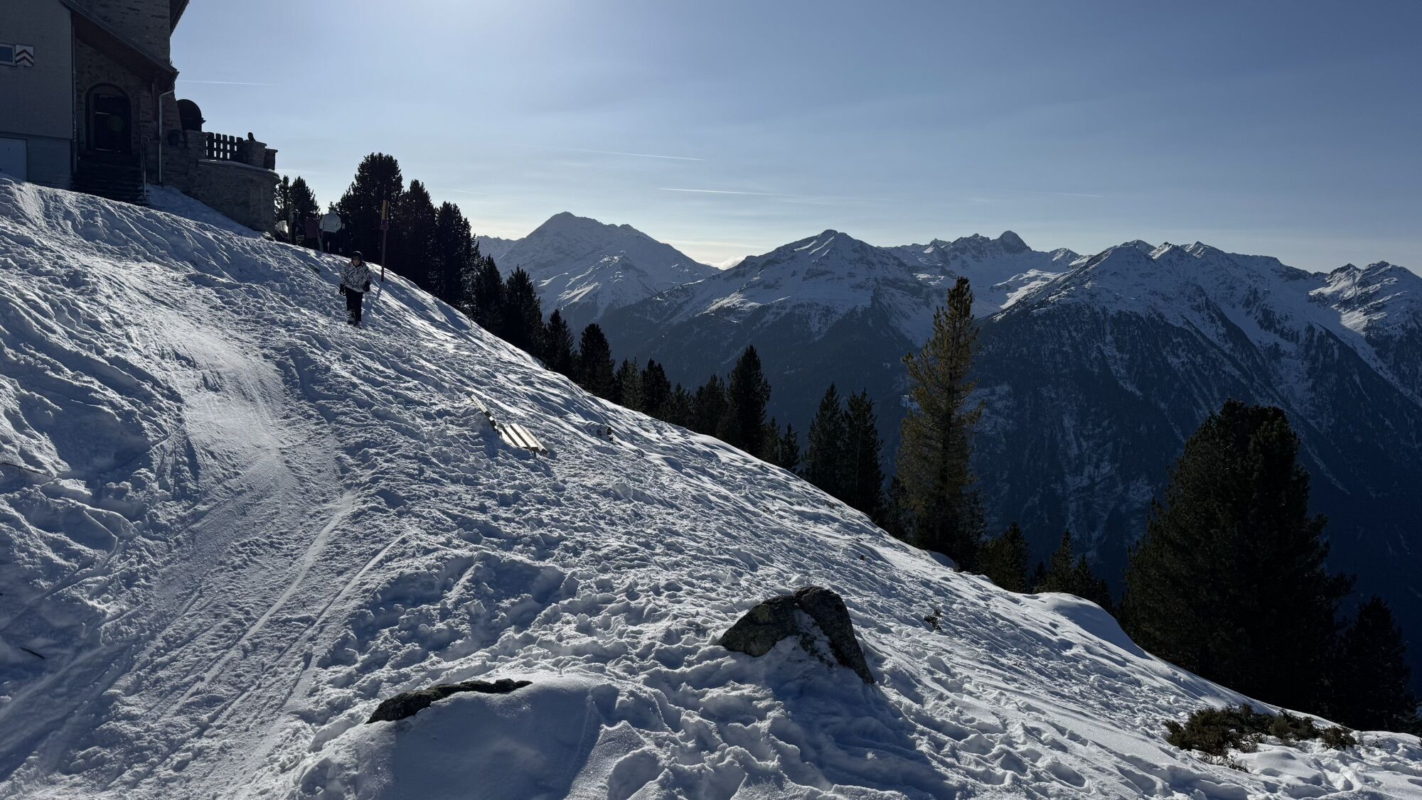
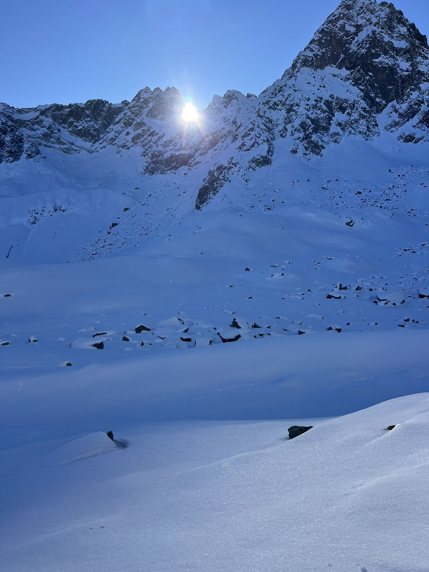
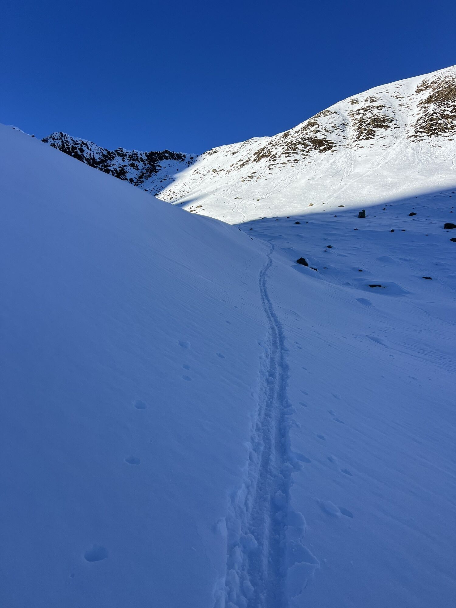
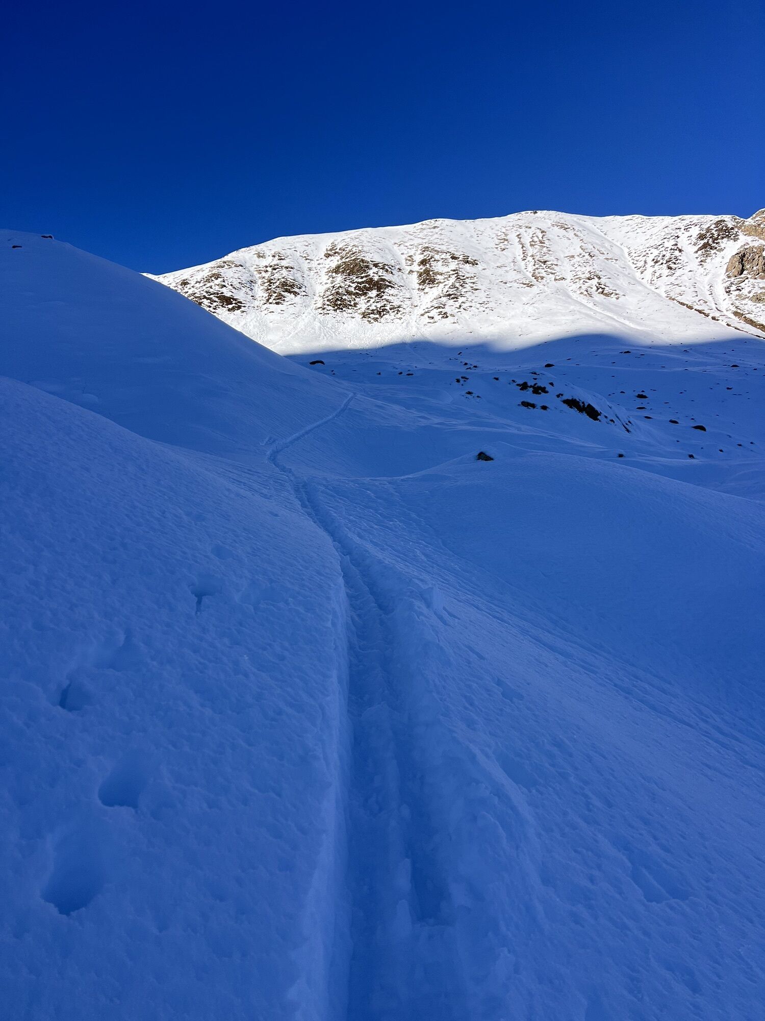
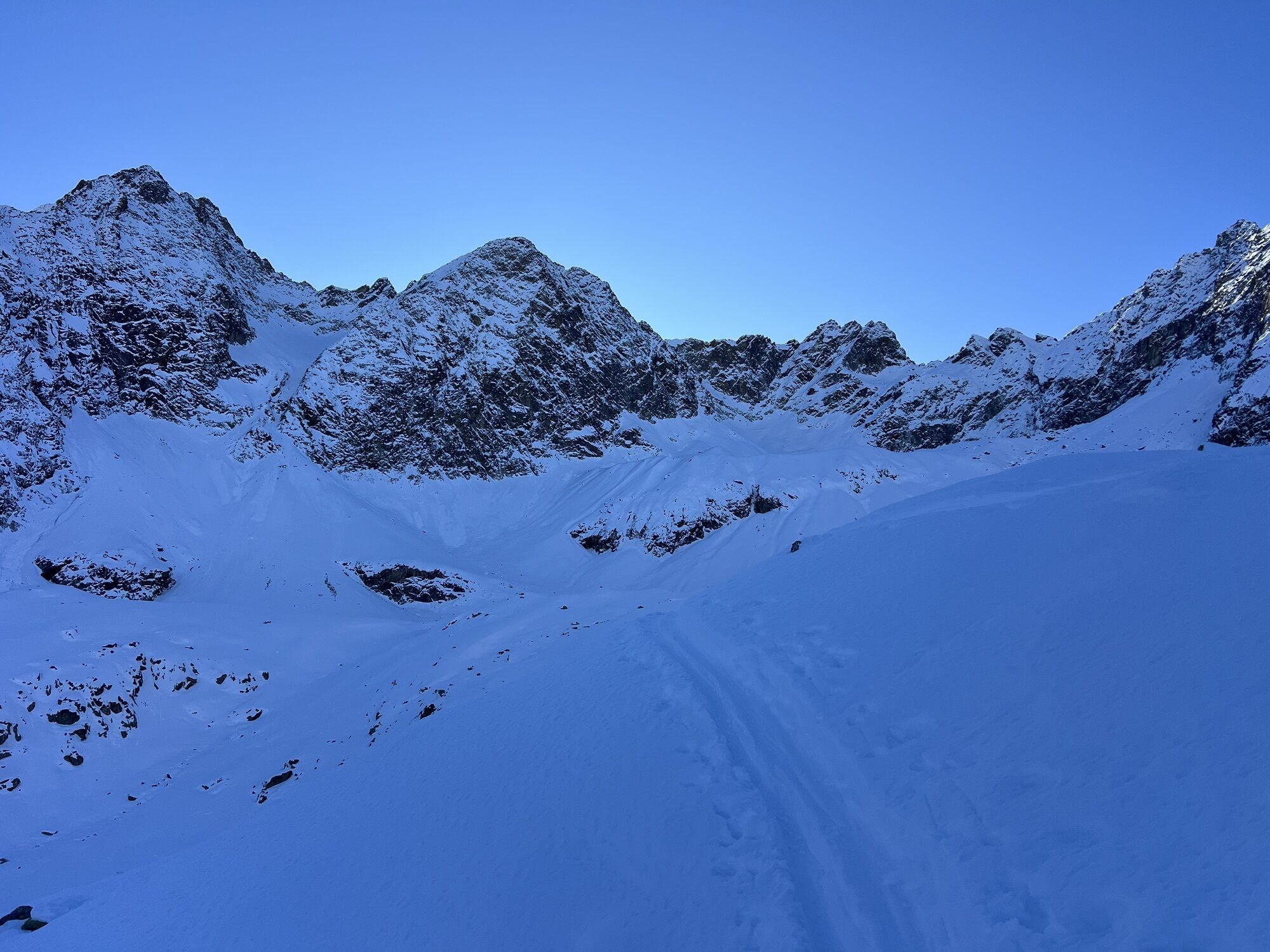
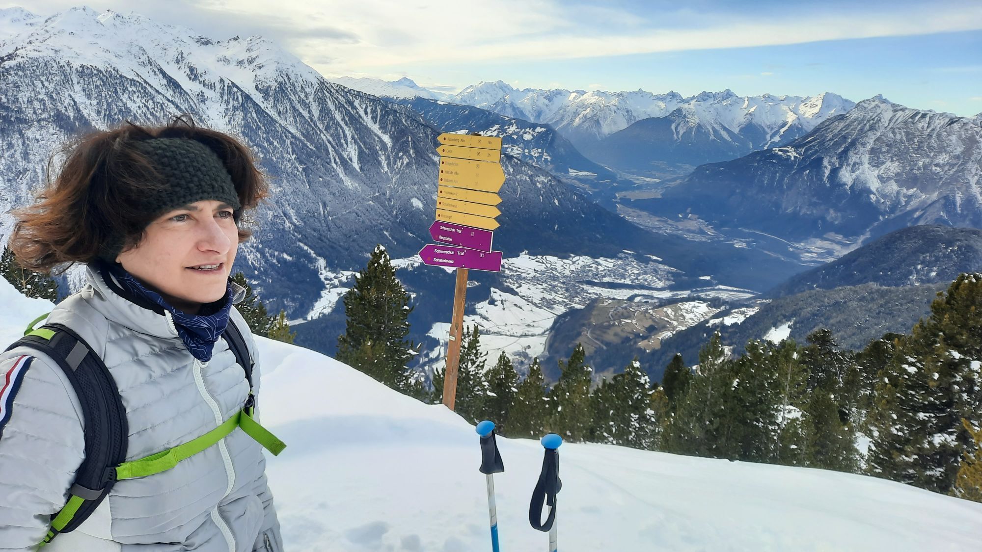
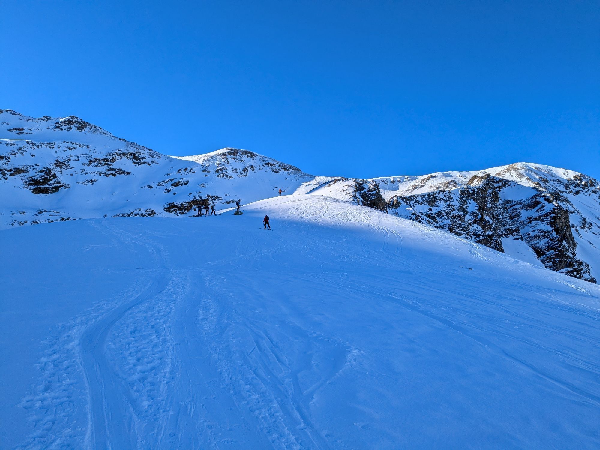

With the Acherkogelbahn you can comfortably reach the starting point in Hochoetz. A wide, gently ascending gravel path initially leads to the Bielefelder Hut. Soon you leave the main path and enter an...
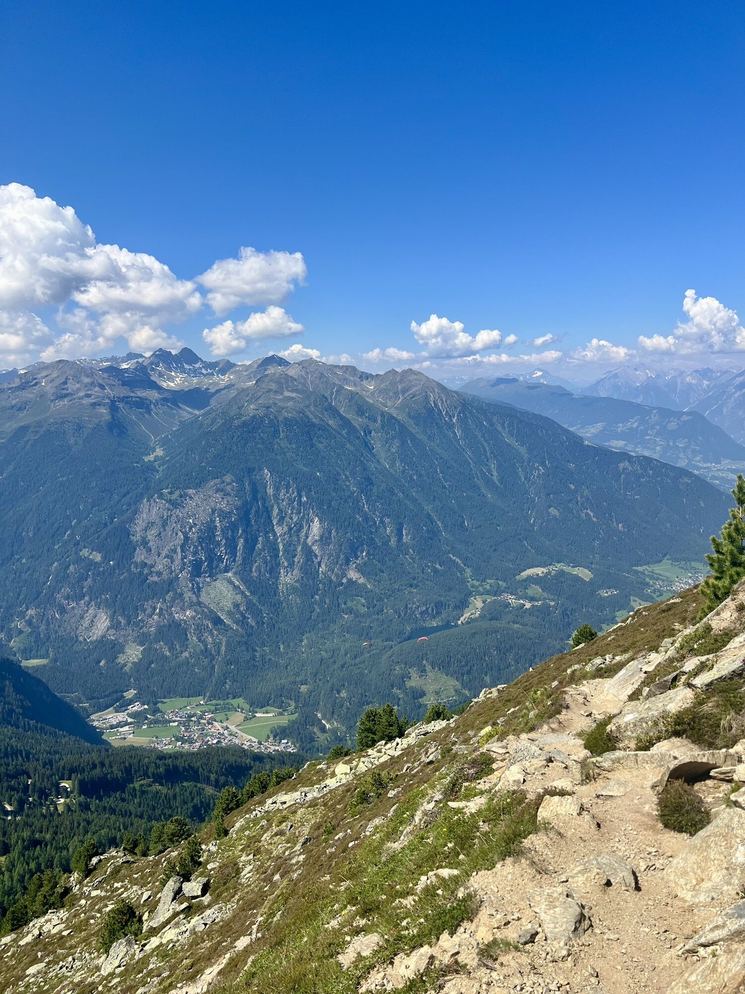
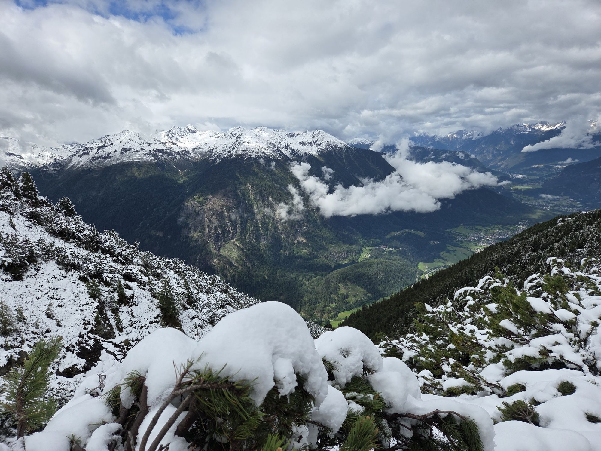
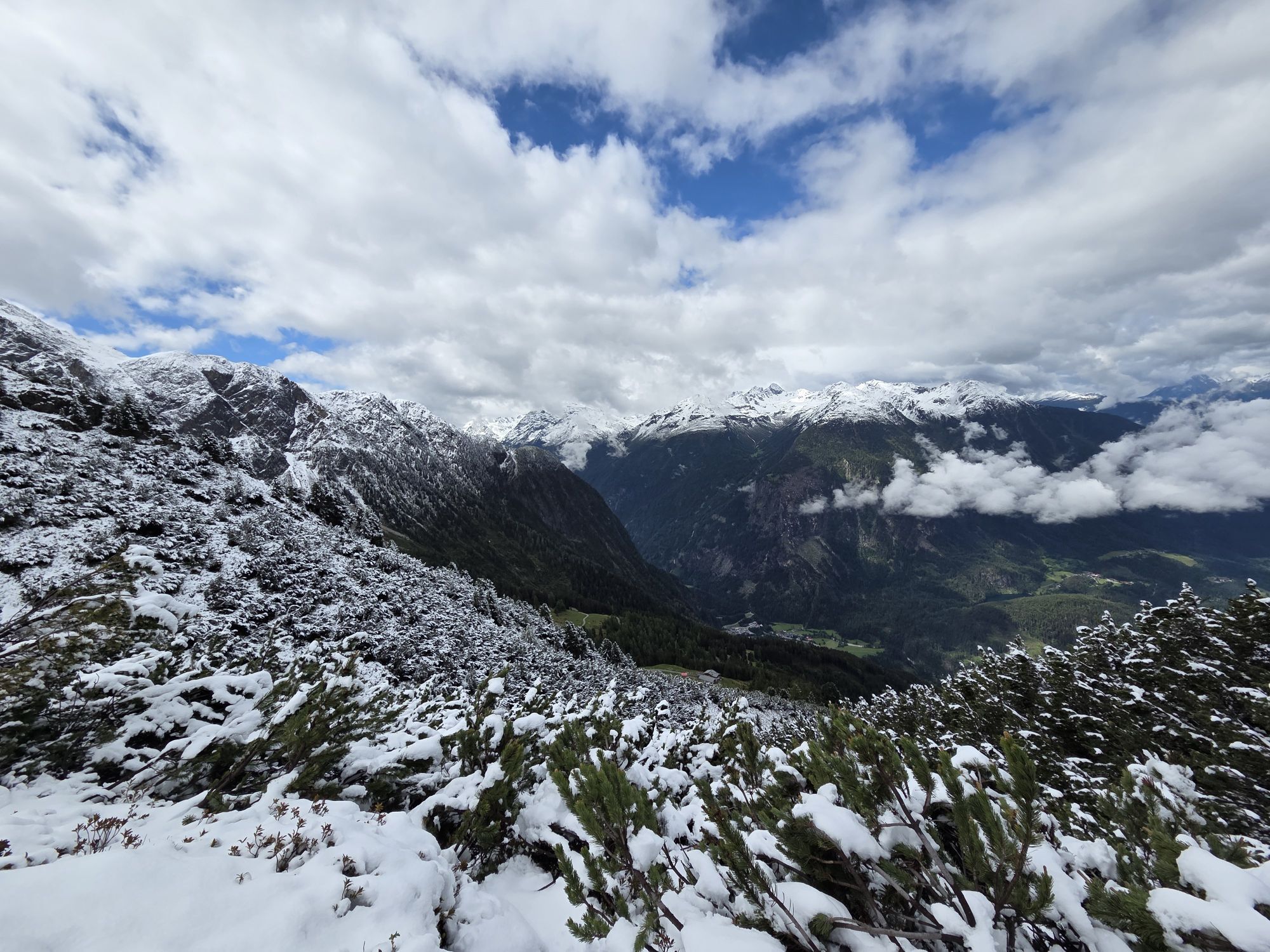
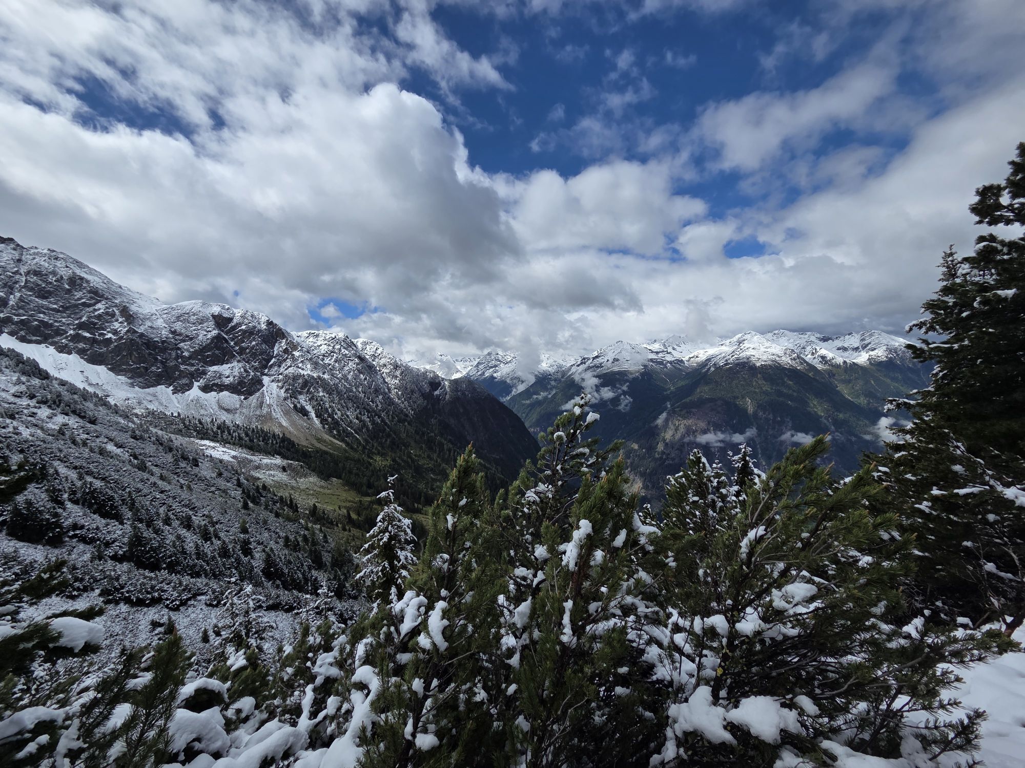
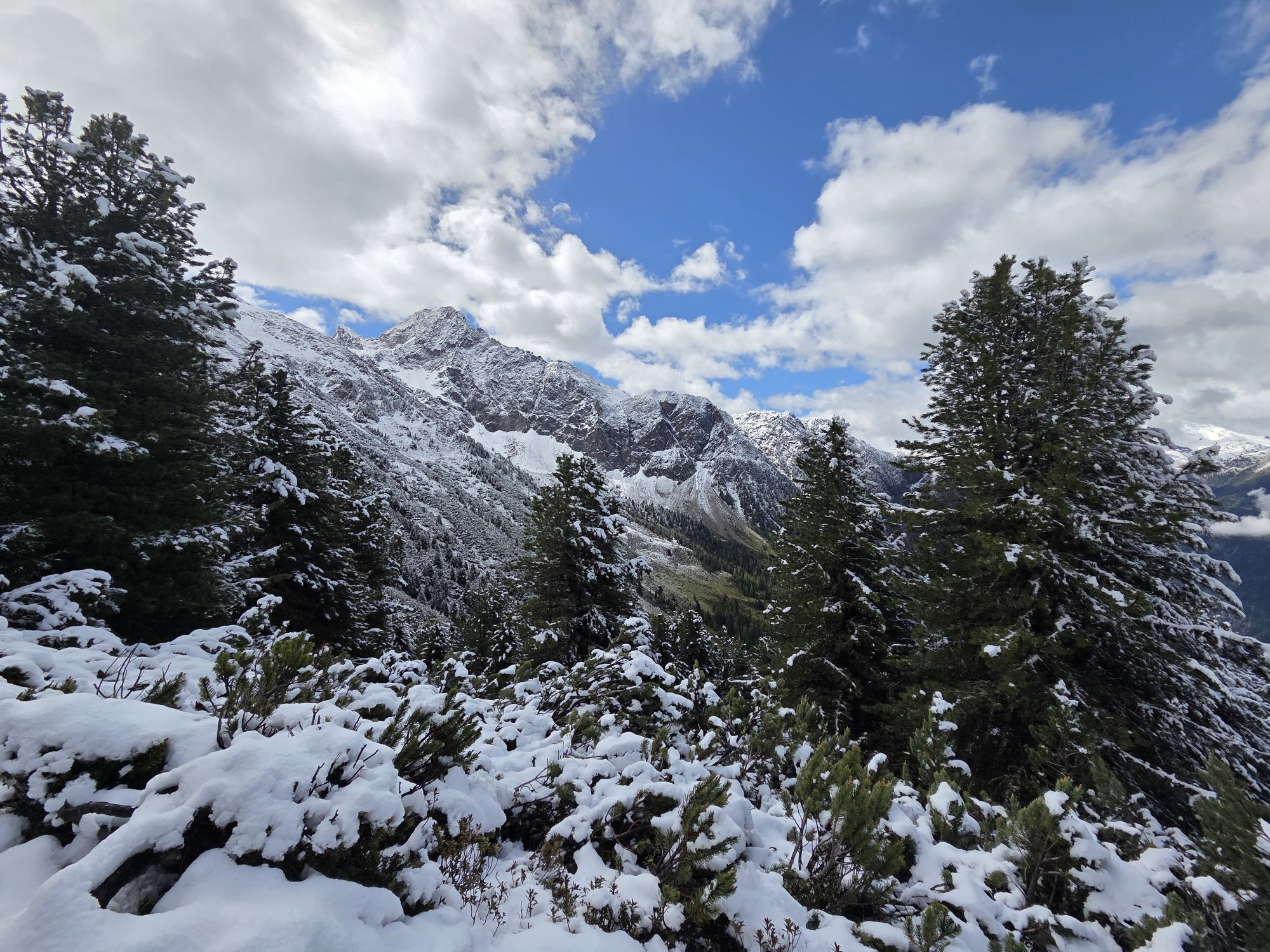
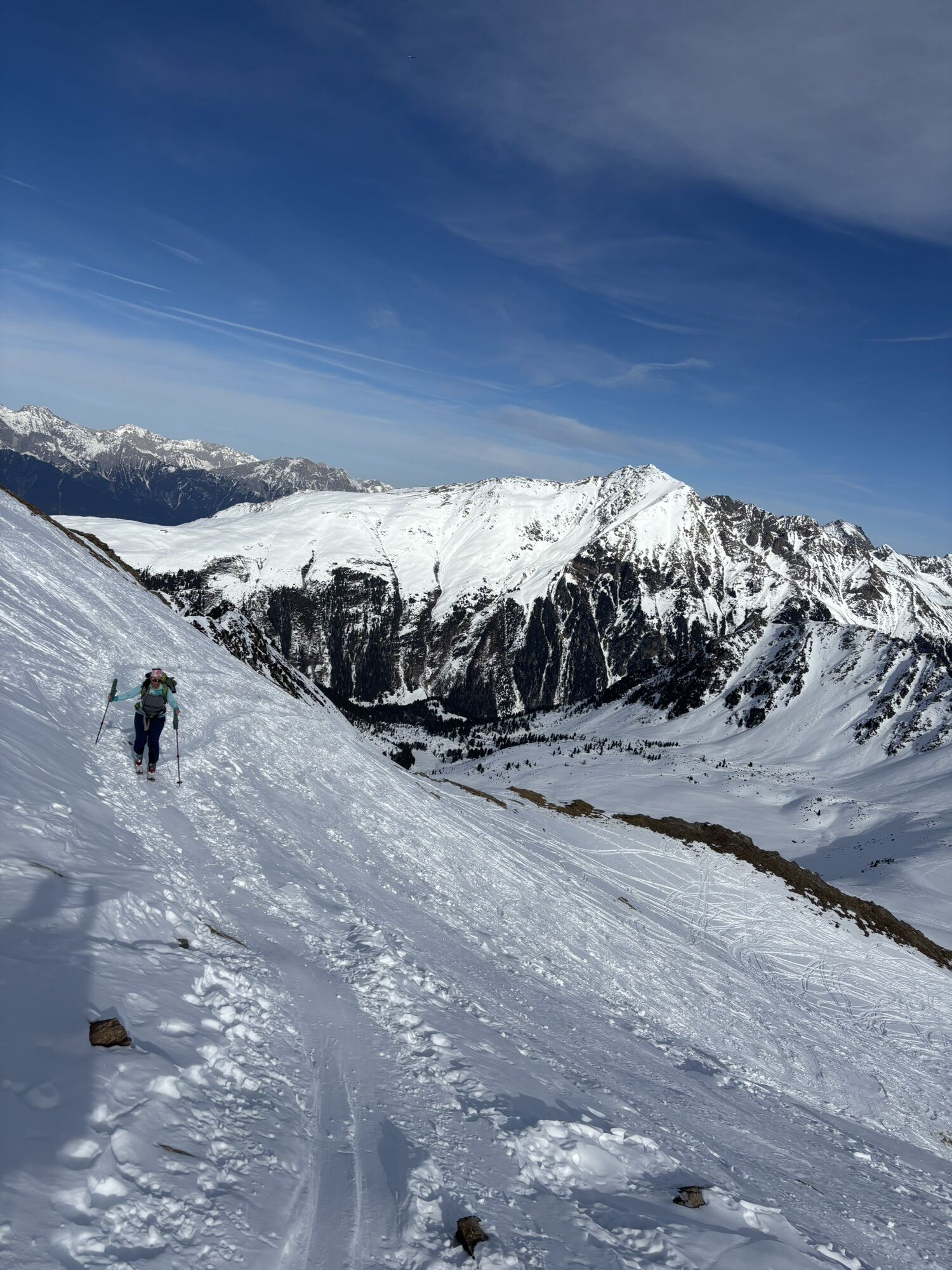
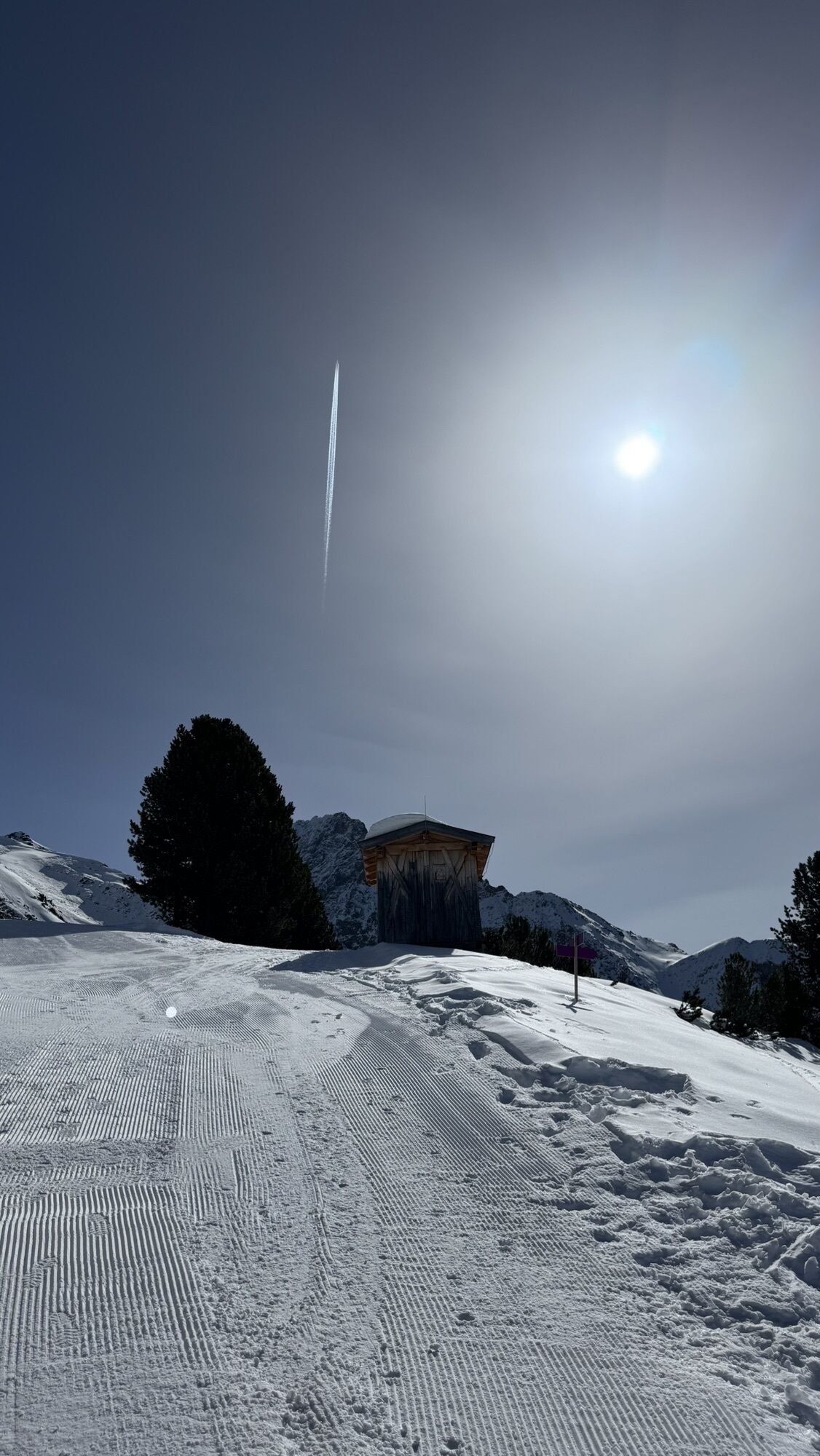
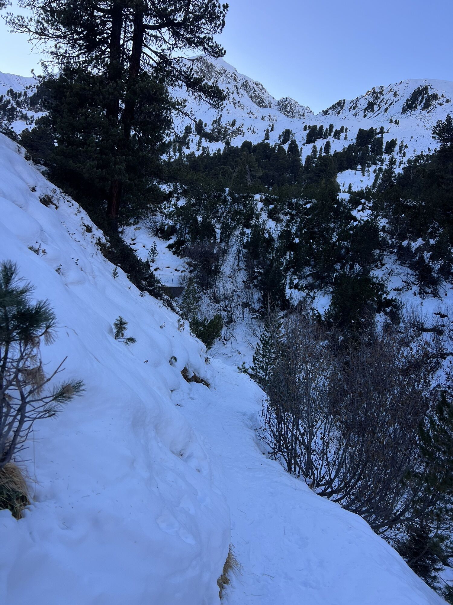
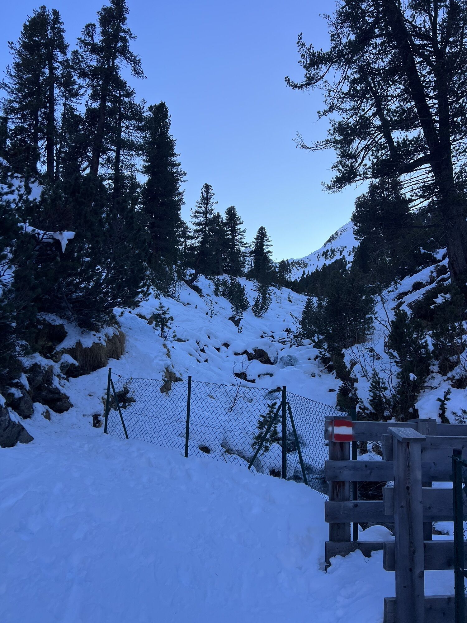
With the Acherkogelbahn you can comfortably reach the starting point in Hochoetz. A wide, gently ascending gravel path initially leads to the Bielefelder Hut. Soon you leave the main path and enter an idyllic stone pine forest. A pleasant, mostly flat trail leads further to a short but challenging ascent up to the Roßköpfe.
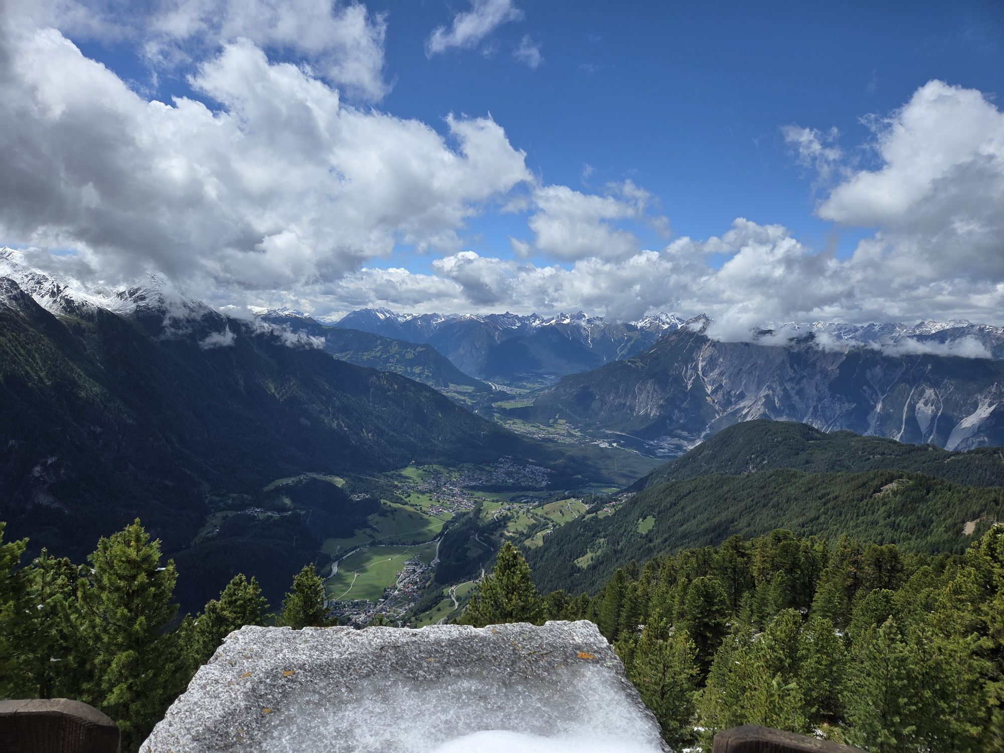
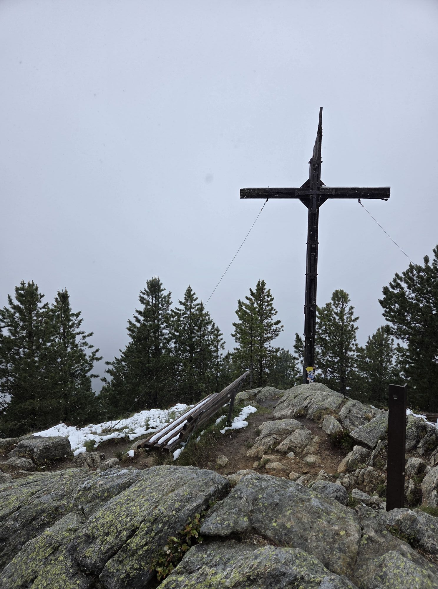
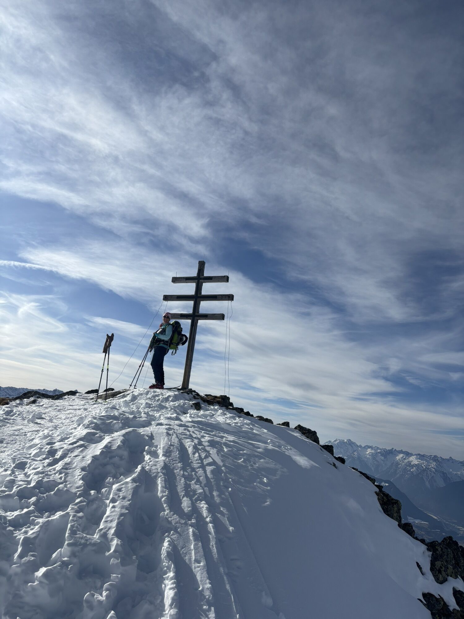
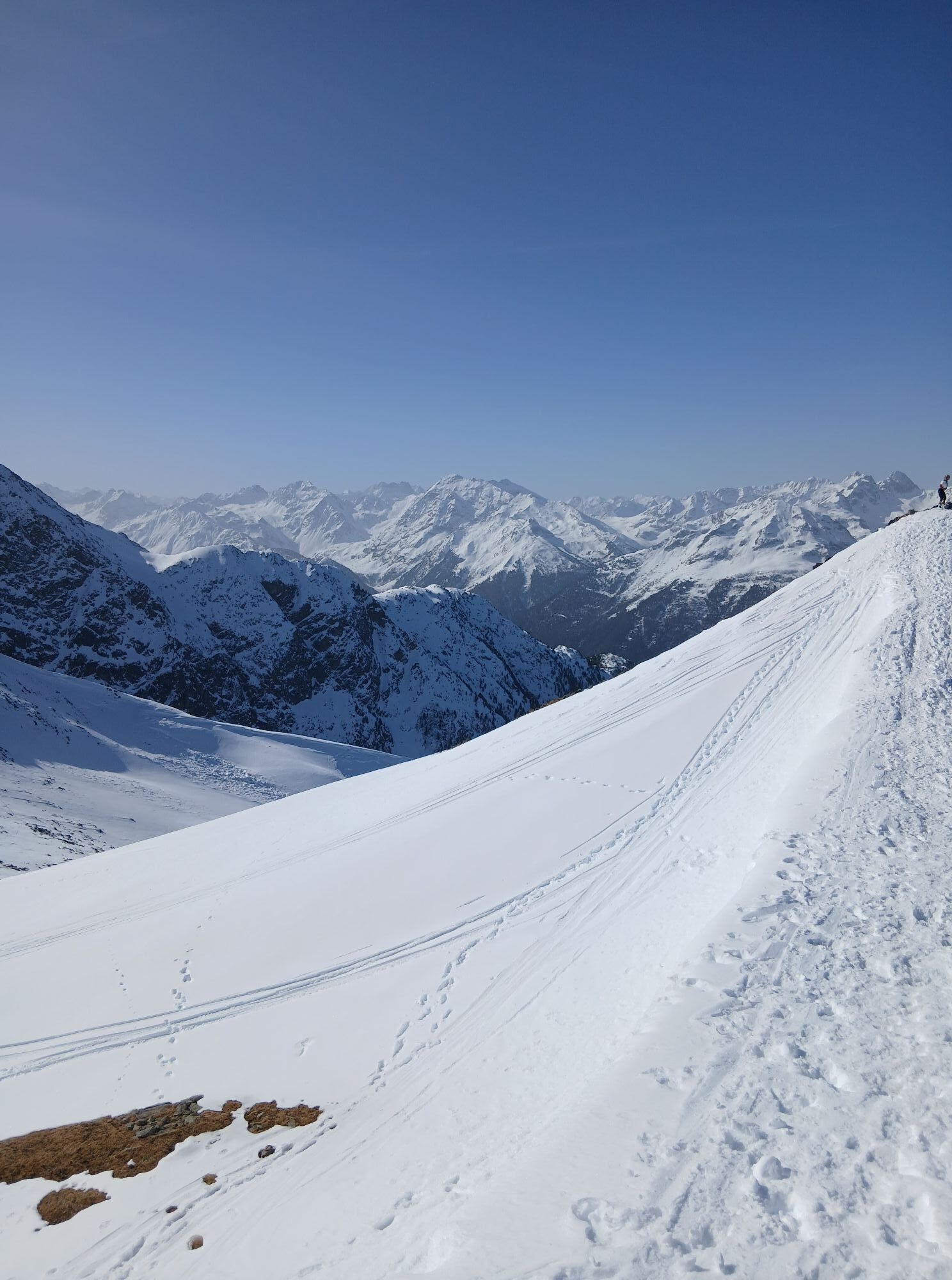
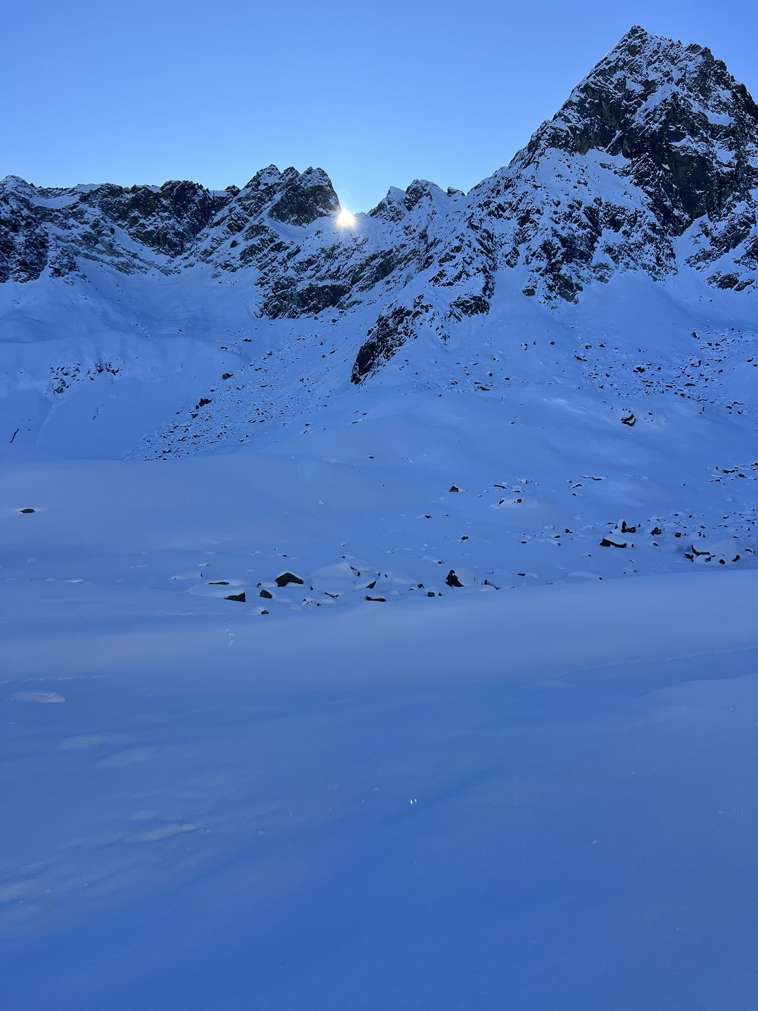
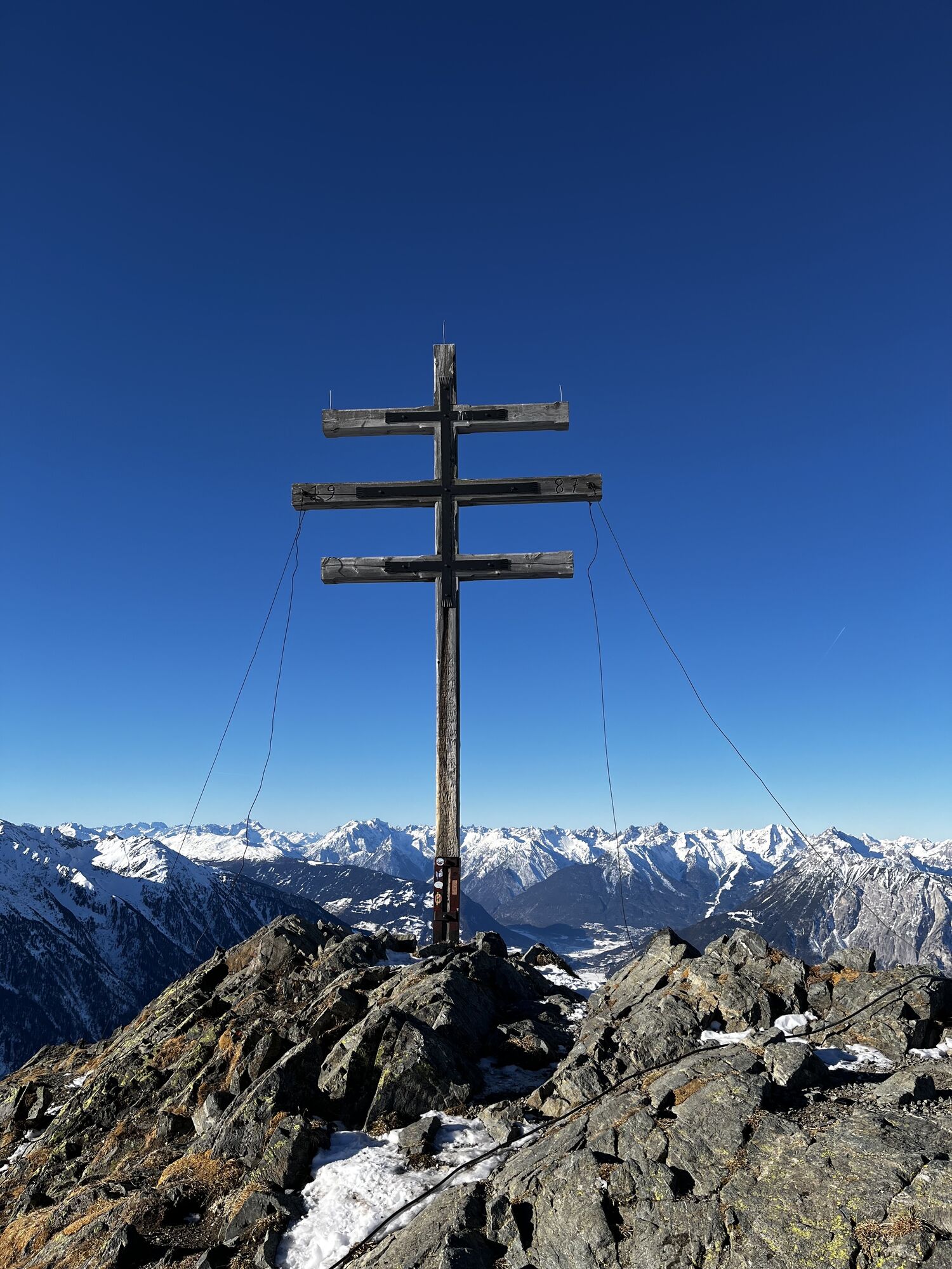
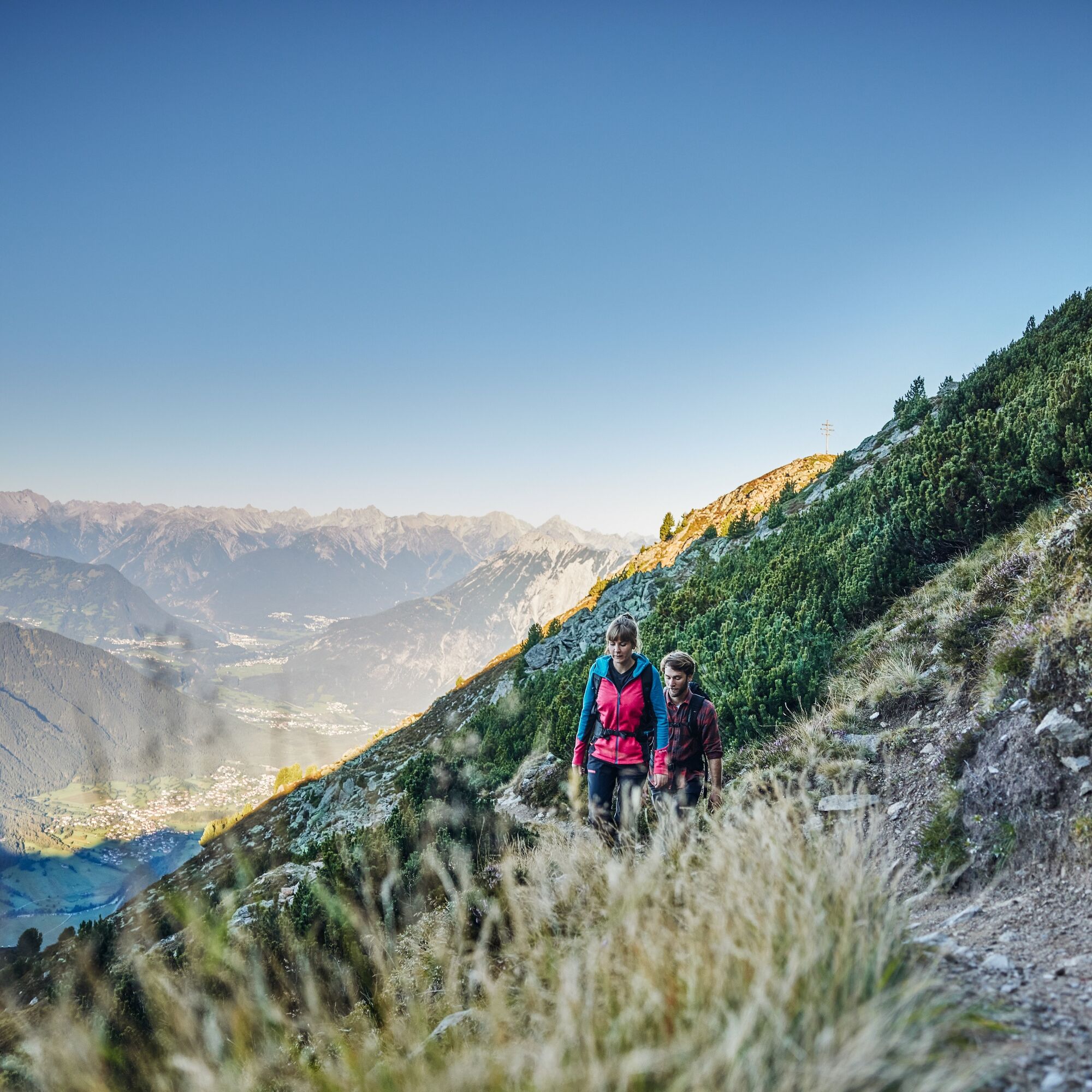
Without significant elevation loss, you then follow a narrow path towards Wetterkreuzkogel. From the summit, an impressive panorama opens up onto the Stubai Alps and the Mieminger Chain – ideal for a scenic break.
The descent leads through the Wörgetal, until an old path on the right rises to the Wörgetal saddle. Afterwards follows a steep descent over a grassy mountain ridge. Once at the bottom, the path leads into a gentle, scenic hiking trail through the picturesque Mittertal – a true highlight of this route.
At the end of the valley, the path gently descends. Just before the dam, the path to Mittergrathütte branches off, from where you finally continue hiking to the bus stop.

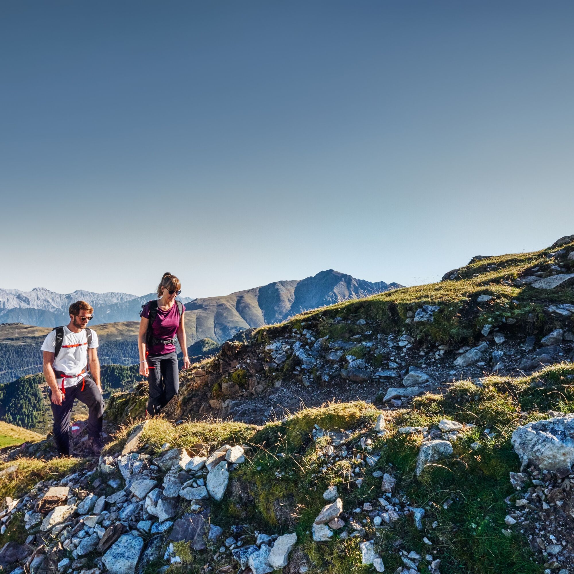
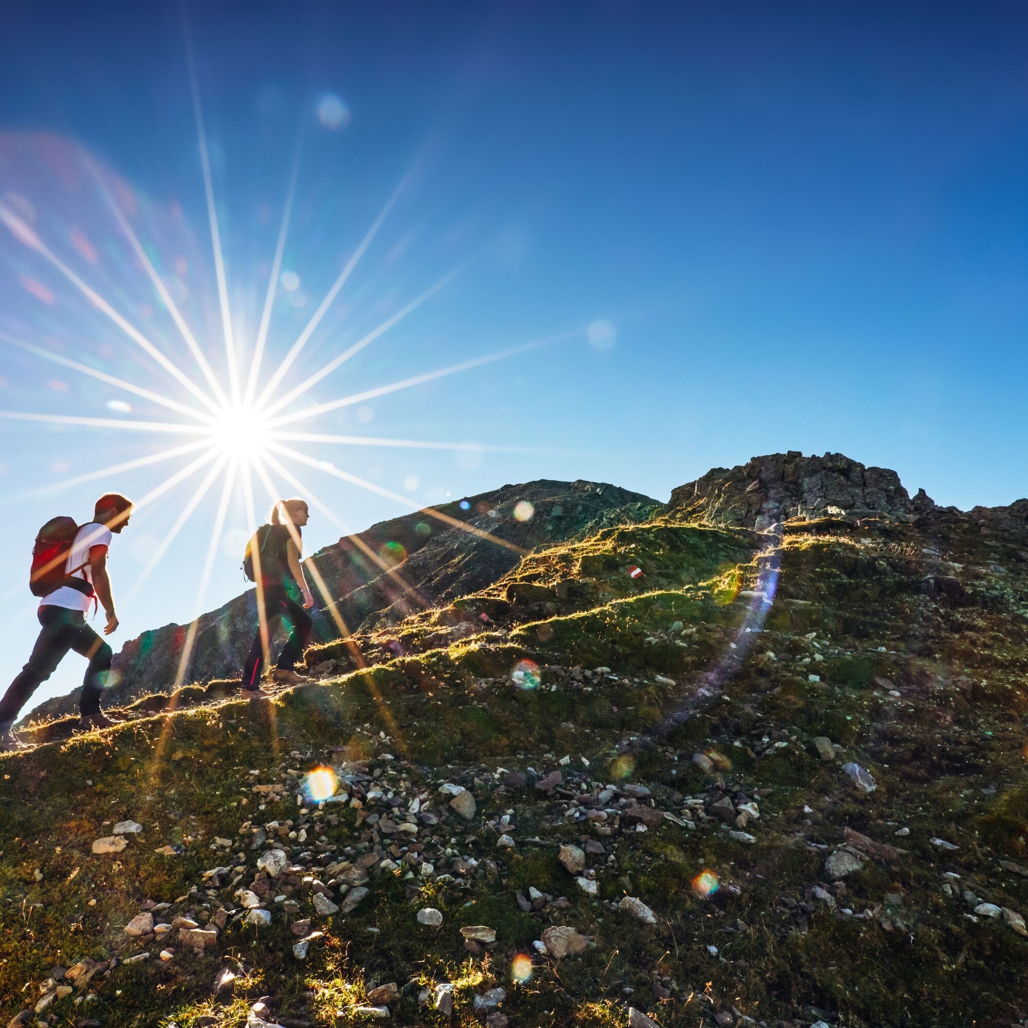

With the Acherkogelbahn you can comfortably reach the starting point in Hochoetz. A wide, gently ascending gravel path initially leads to the Bielefelder Hut. Soon you leave the main path and enter an idyllic stone pine forest. A pleasant, mostly flat trail leads further to a short but challenging ascent up to the Roßköpfe.
Without significant elevation loss, you then follow a narrow path towards Wetterkreuzkogel. From the summit, an impressive panorama opens up onto the Stubai Alps and the Mieminger Chain – ideal for a scenic break.
The descent leads through the Wörgetal, until an old path on the right rises to the Wörgetal saddle. Afterwards follows a steep descent over a grassy mountain ridge. Once at the bottom, the path leads into a gentle, scenic hiking trail through the picturesque Mittertal – a true highlight of this route.
At the end of the valley, the path gently descends. Just before the dam, the path to Mittergrathütte branches off, from where you finally continue hiking to the bus stop.
Ano
Appropriate equipment such as breathable and weather-adapted outdoor clothing, ankle-high hiking boots, wind, rain and sun protection, hat, possibly gloves, is required for all hikes and routes. Carrying a first aid kit, a mobile phone and possibly a hiking map, as well as sufficient provisions for hikes without opportunities for refreshment, is necessary.
Difficult mountain route, suitable for sure-footed and experienced mountain hikers. Good physical condition, mountain experience and mountain equipment (see under equipment) necessary. Please observe the current weather report at: https://www.oetztal.com/de/sommer.html
T3
More info about hiking in the Ötztal: www.oetztal.com/wandern
A route with many impressive views – the effort is worth it
Získejte přehled
Vždy živě na místě s více než 9 500 webkamerami. bergfex Jako uživatel Pro si nyní můžete zobrazit odpovídající webové kamery pro mnoho prohlídek v aplikaci prohlídky z. Můžete si tak přímo prohlédnout aktuální podmínky.
Oblíbené prohlídky v okolí
-
4.3
Hike Stuibenfall - Umhausen
světloTuristika 2.95 km -
4.4
Stuibenfall Umhausen circular hike
světloTuristika 9.32 km -
4.4
Hundstalsee
středníTuristika 7.35 km -
4.5
Oetz - Piburger See - Oetz
středníTuristika 7.16 km -
4.3
Lampsenspitze, Sellrain, Tirol
středníLyžařská trasa 4.97 km -
4.7
Summit route Faltegartenköpfl
středníTuristika 4.04 km -
4.8
lake Piburger See
světloTuristika 2.75 km -
4.1
Arzkasten - Lehnberghaus
světloTuristika 3.08 km -
4.6
Umhausen - Stuibenfall - Umhausen
středníTuristika 7.94 km -
4.5
Summit route Weather Cross from Hochoetz
středníTuristika 3.06 km
Pěší turistika a stopování


Nenechte si ujít nabídky a inspiraci pro vaši příští dovolenou
Vaše e-mailová adresa byl přidán do poštovního seznamu.





