






Themed route Schmugglersteig
Úroveň obtížnosti: T1
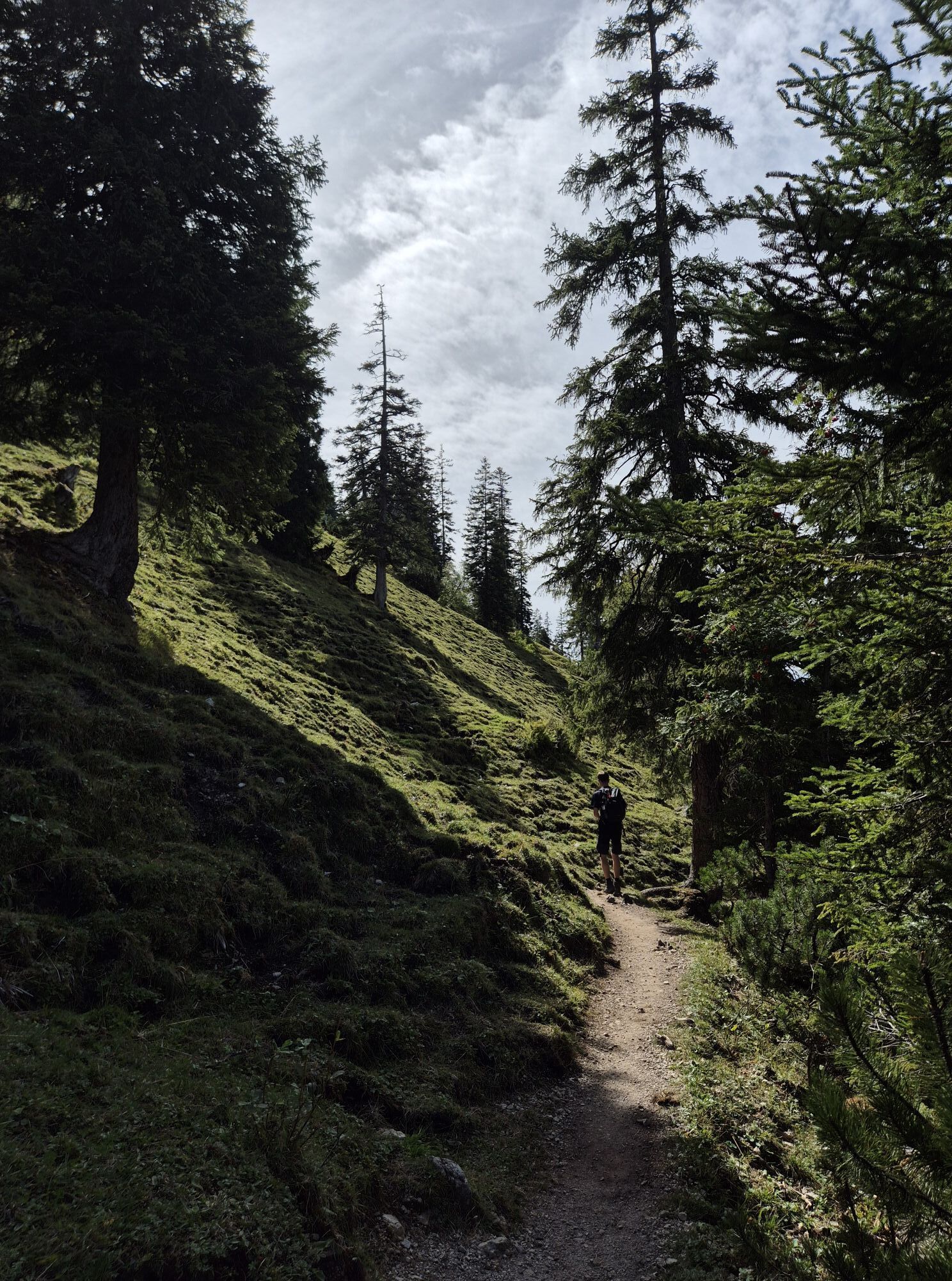
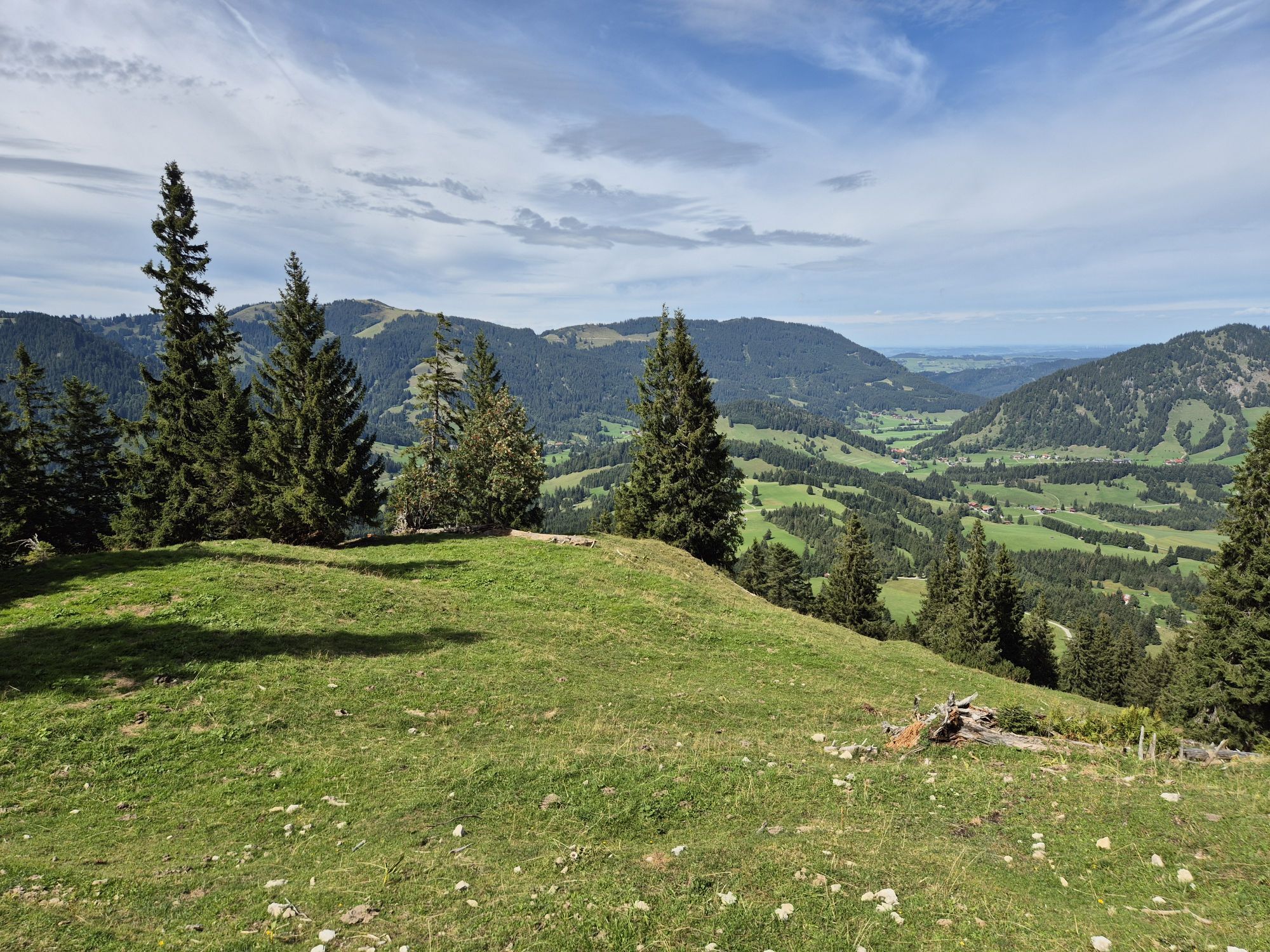
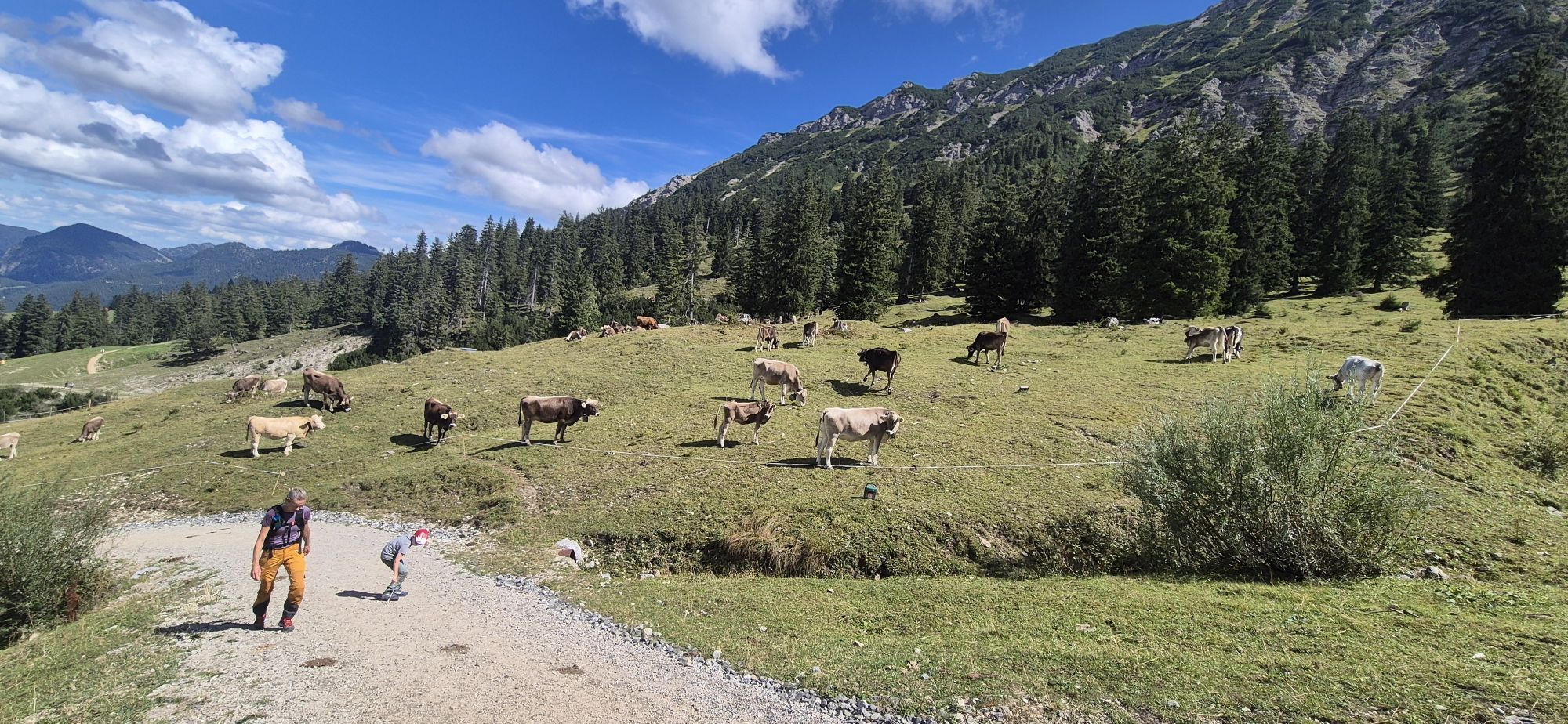
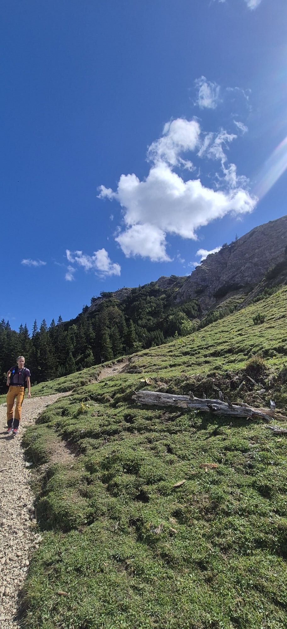
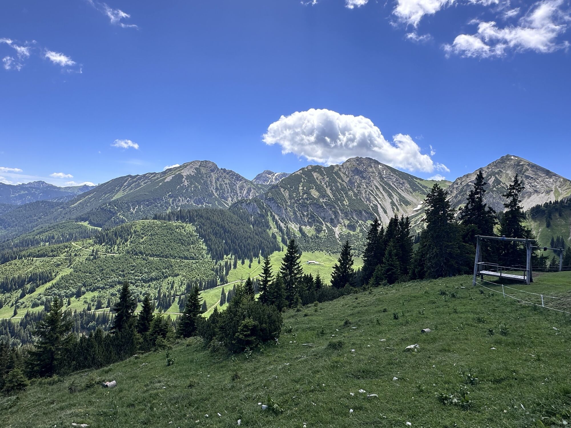
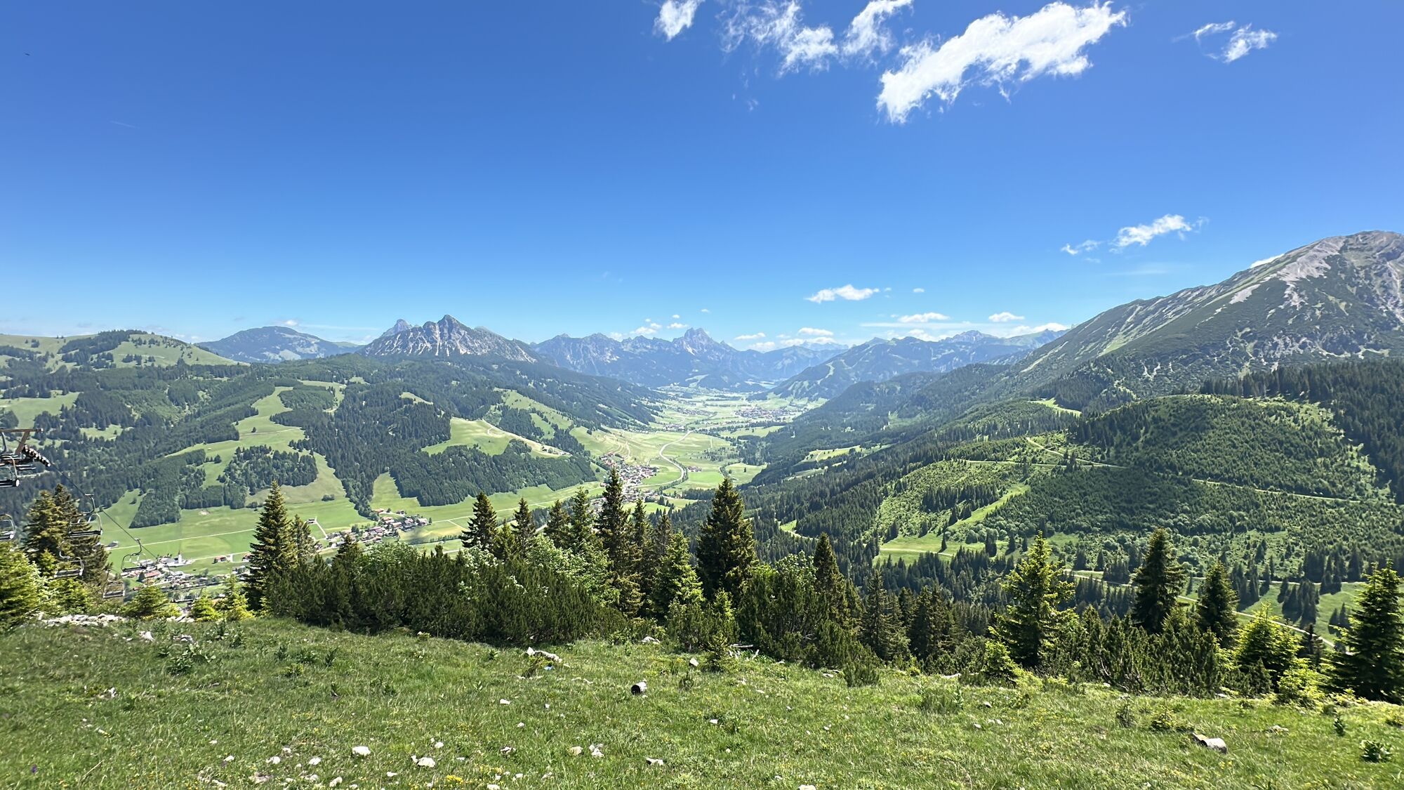
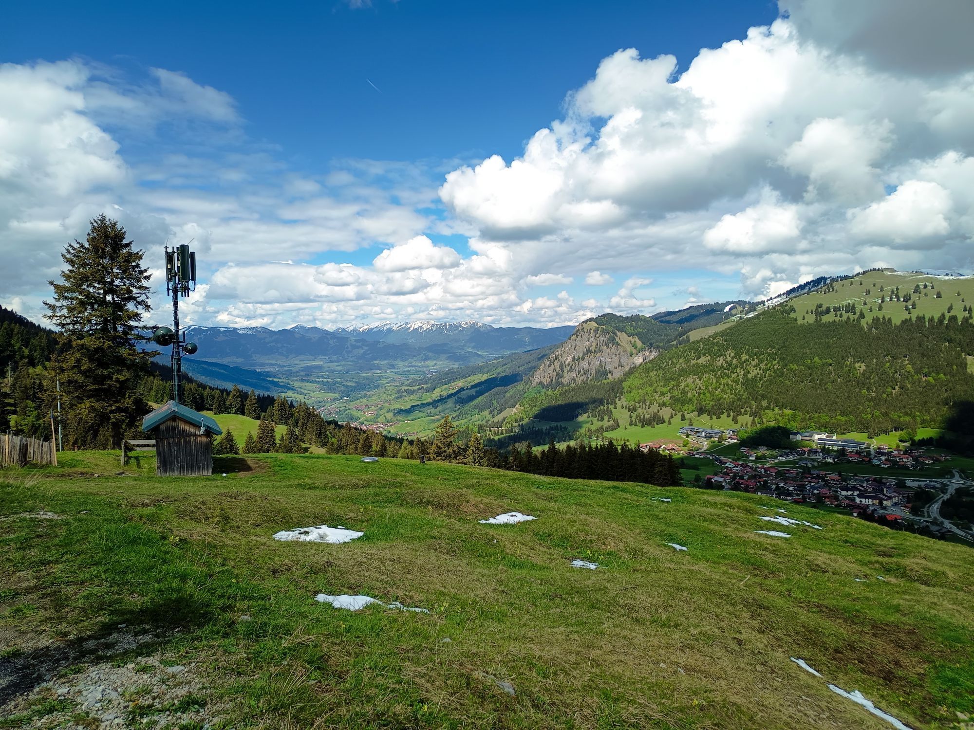
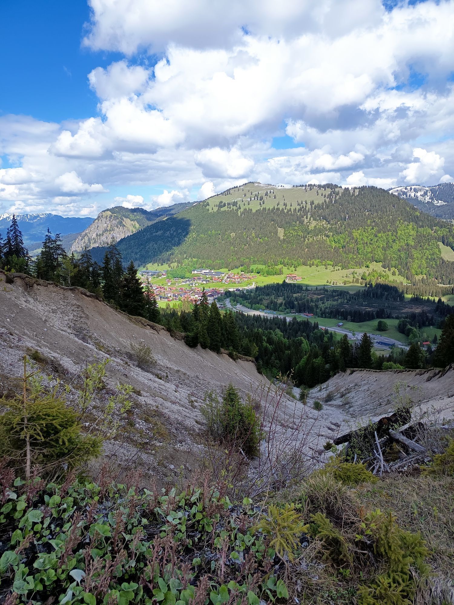
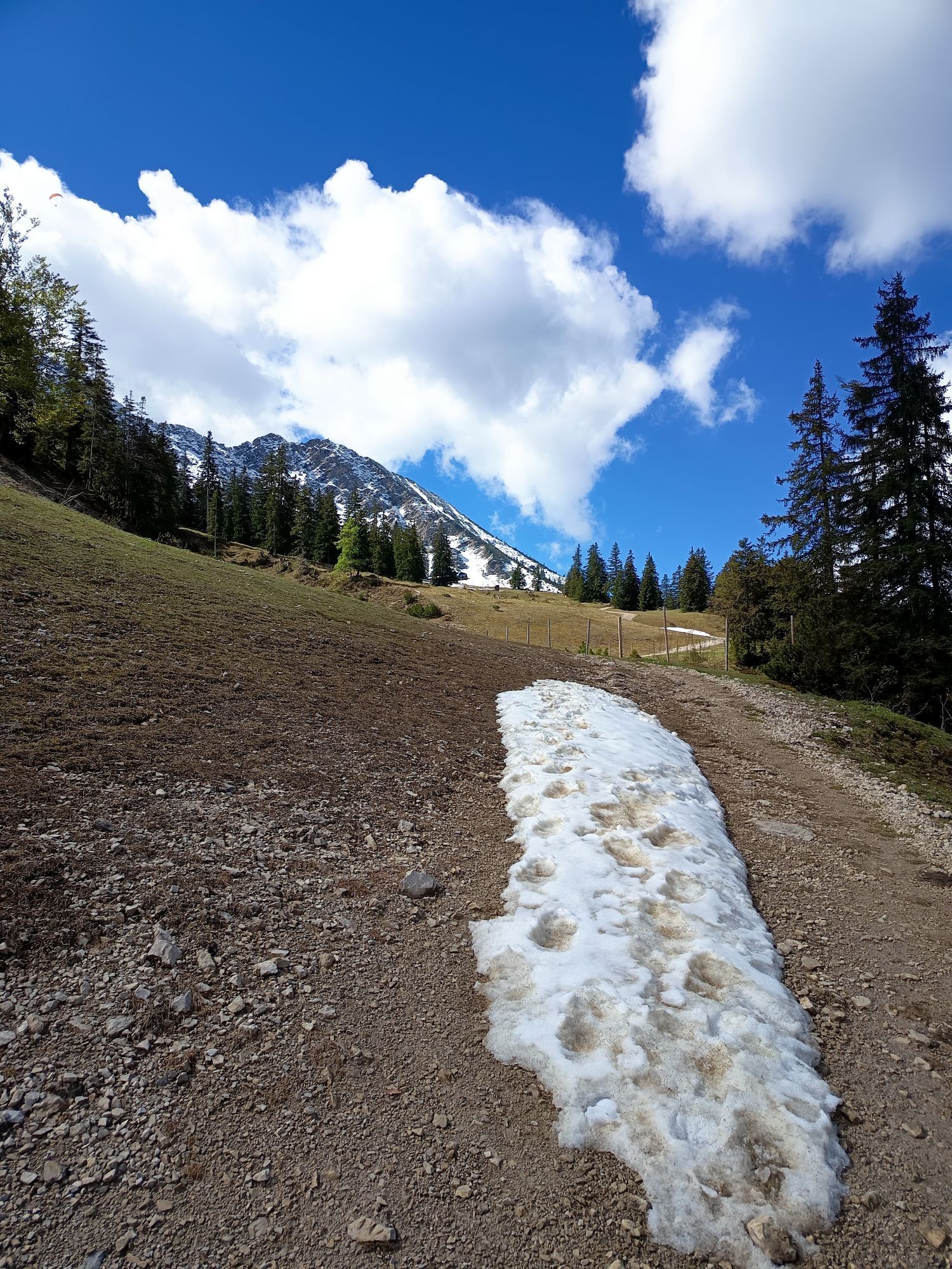
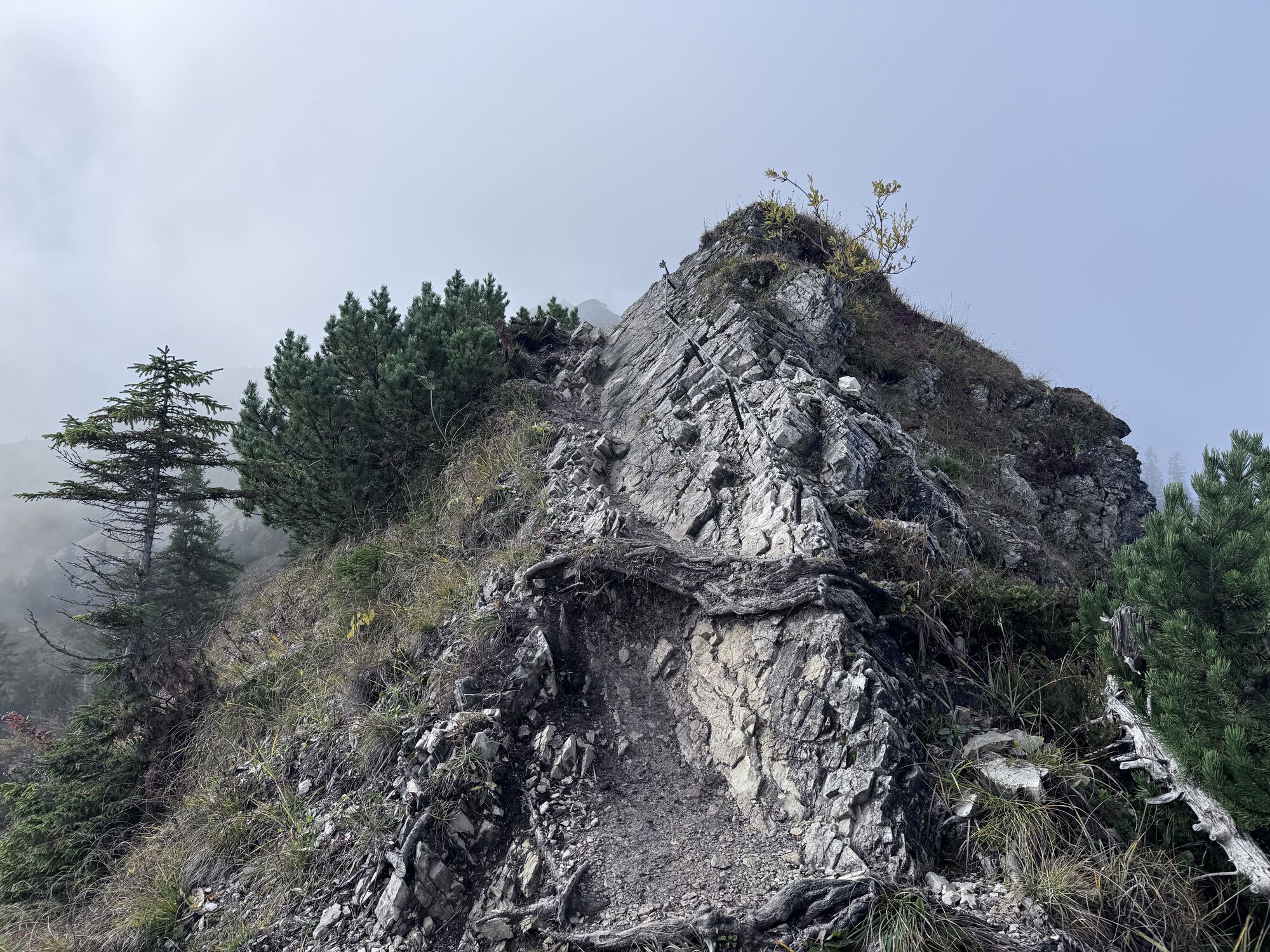
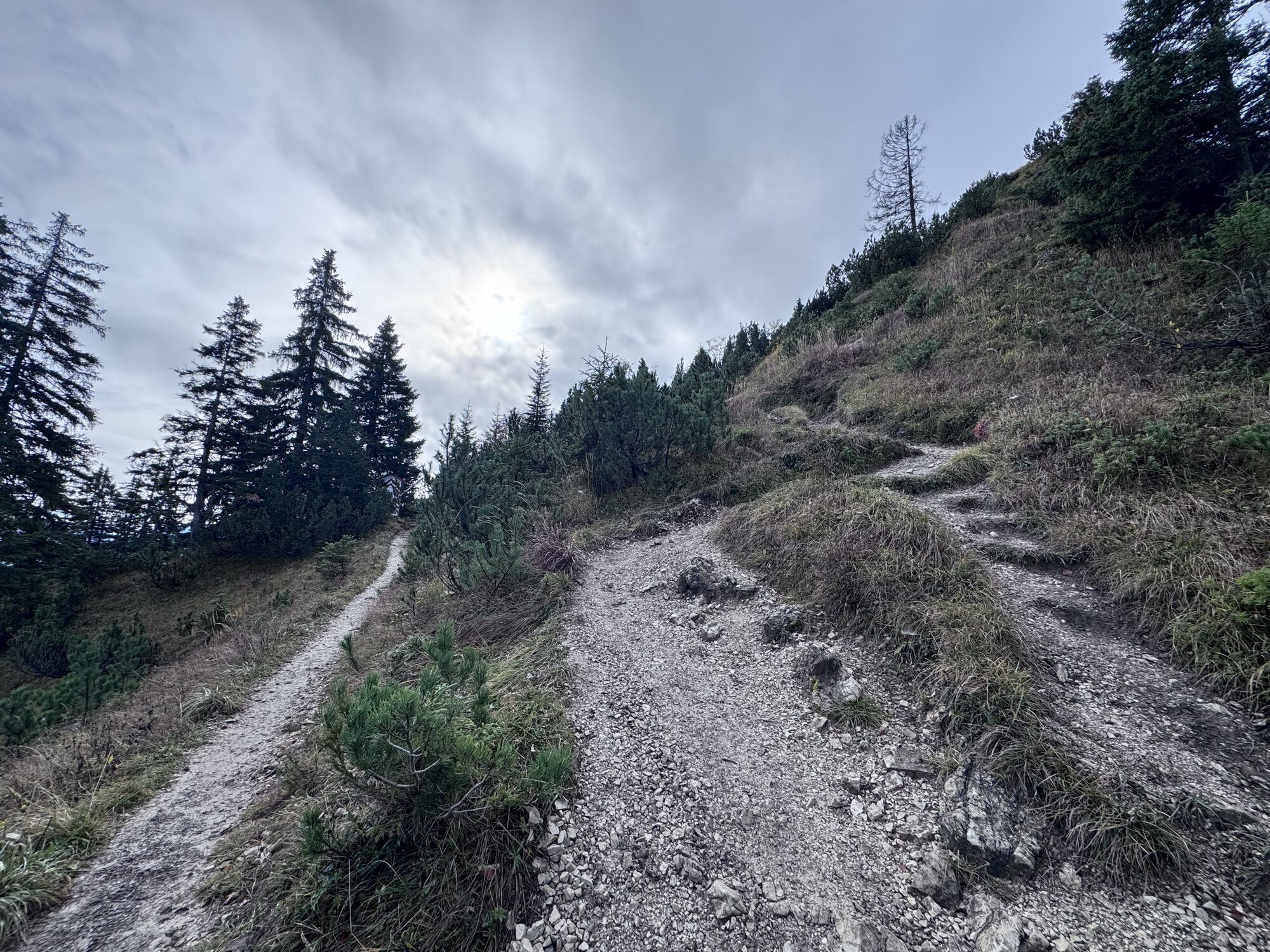
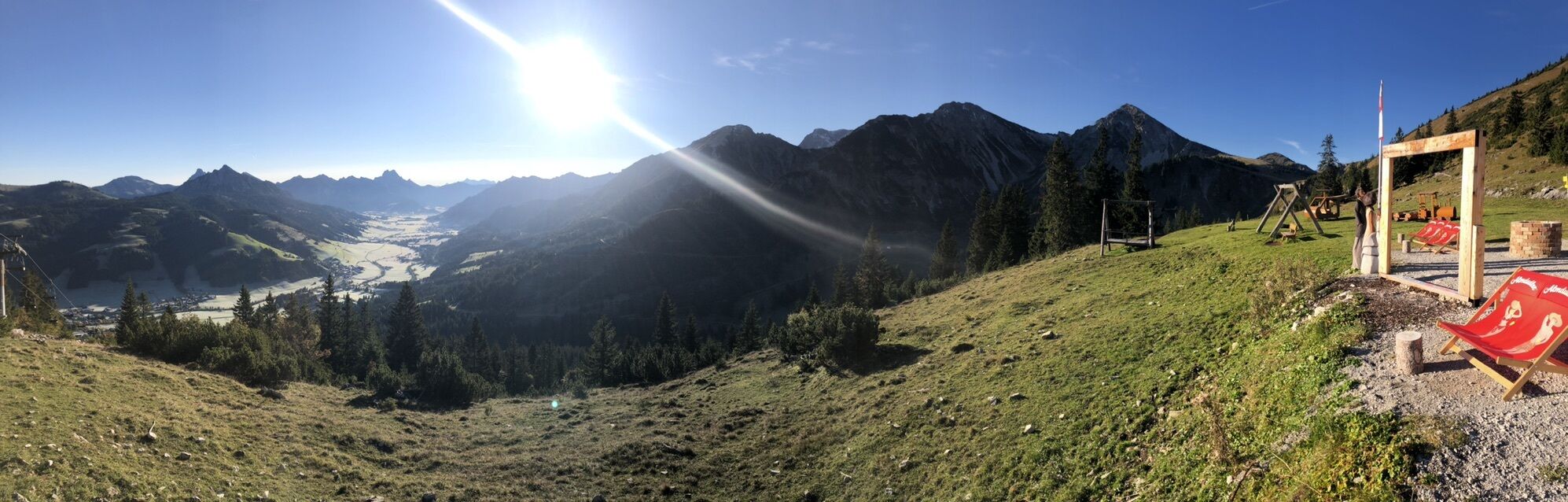
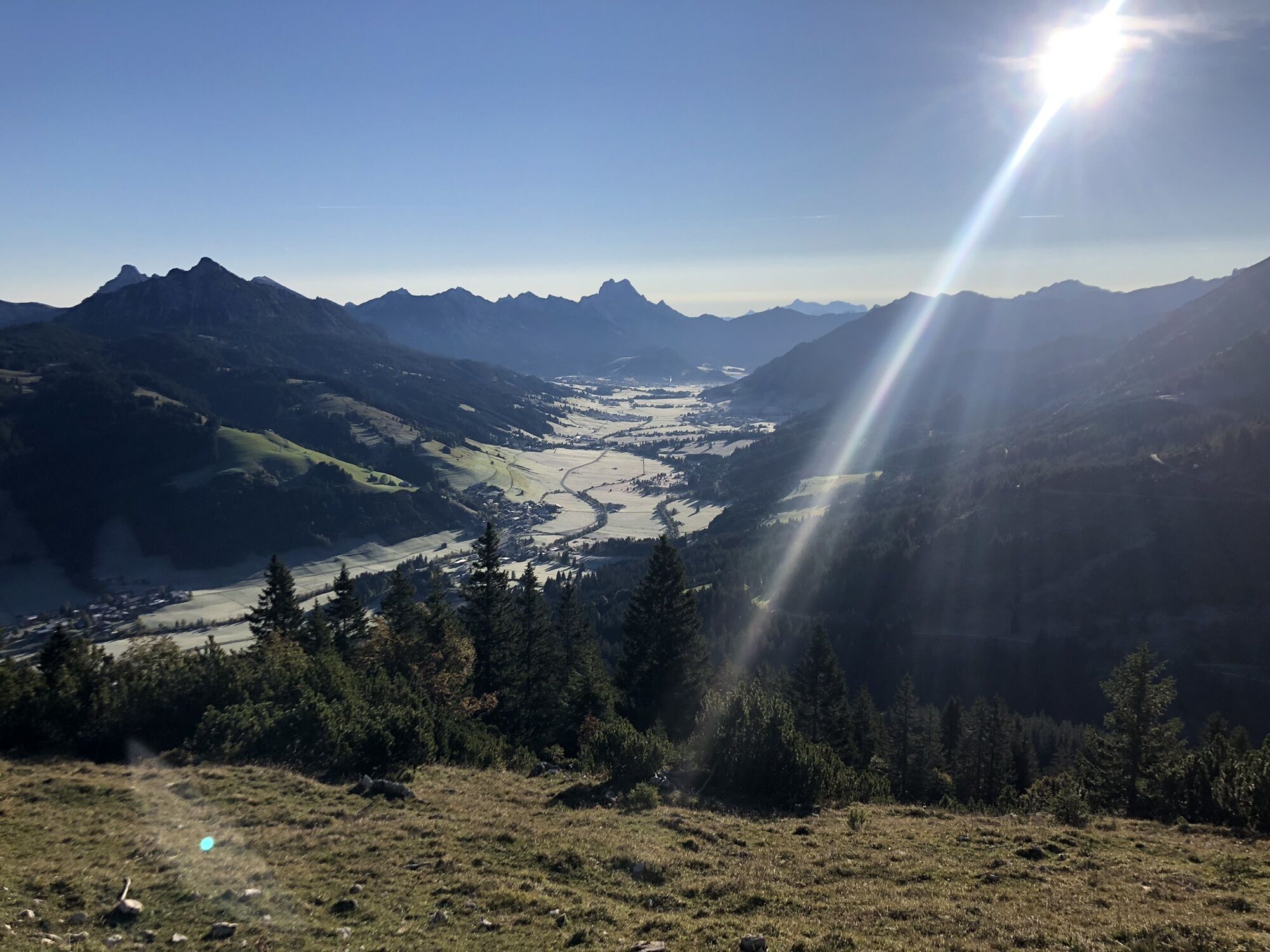
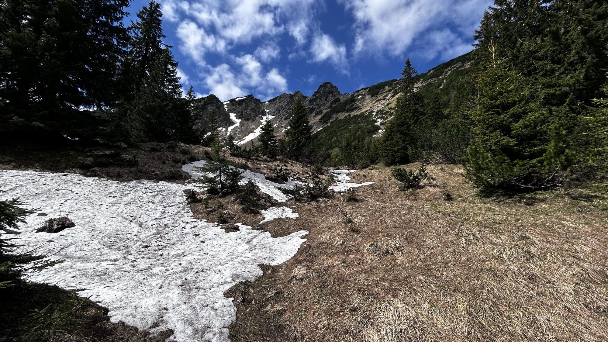
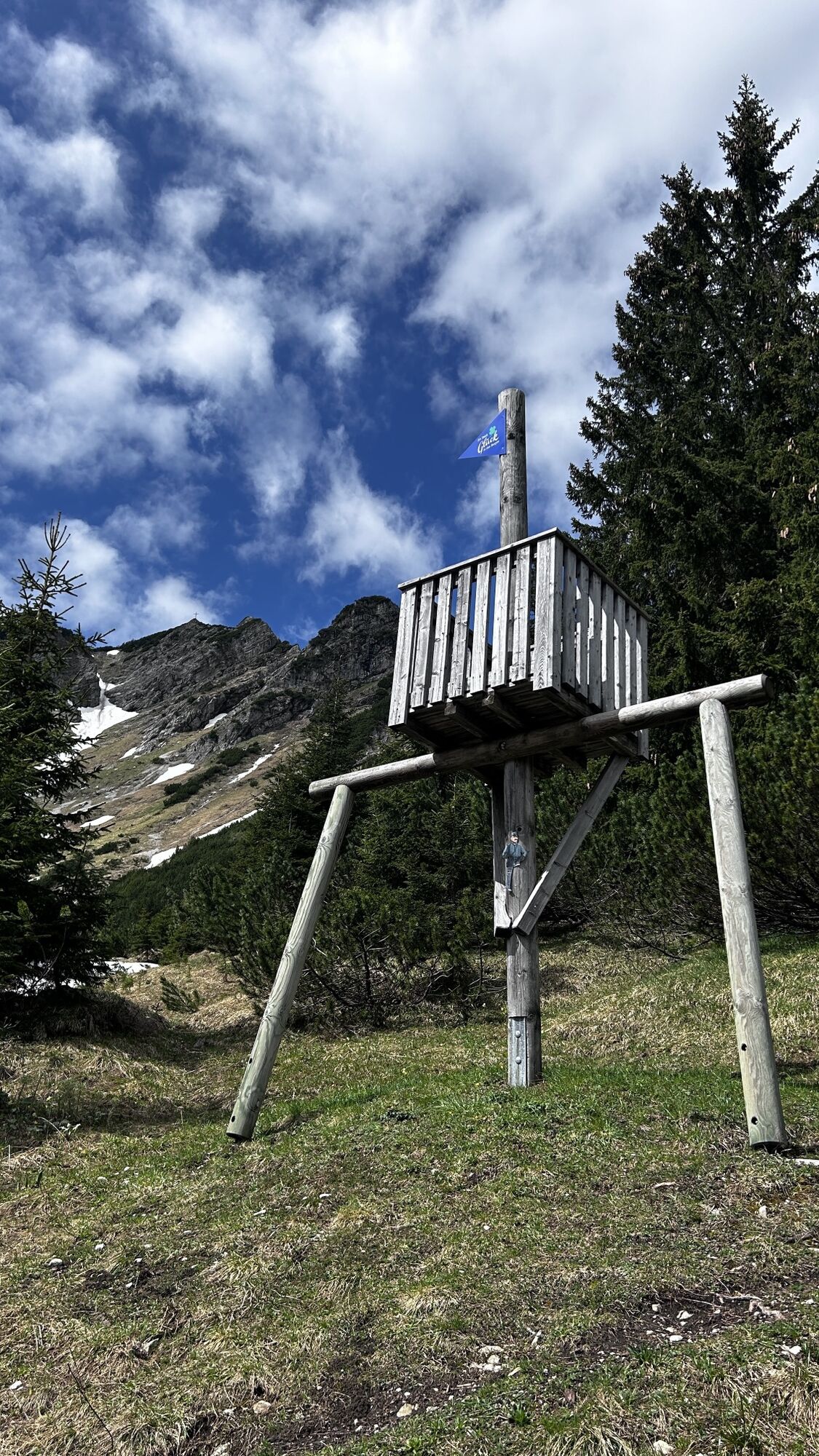
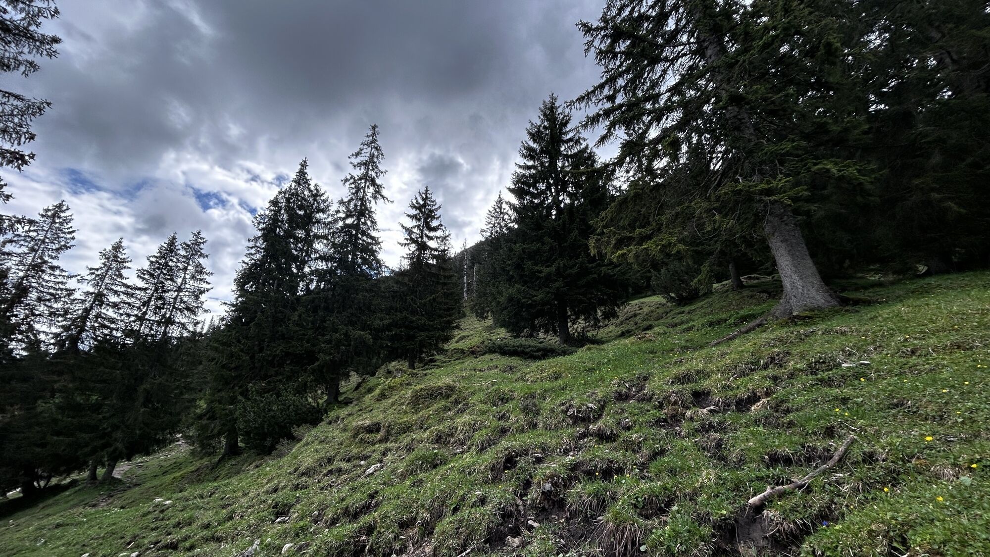
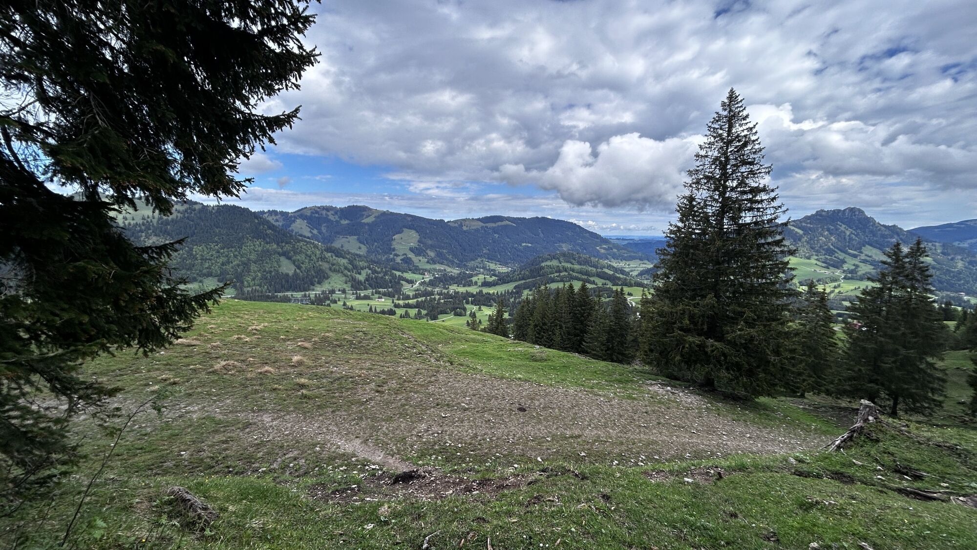
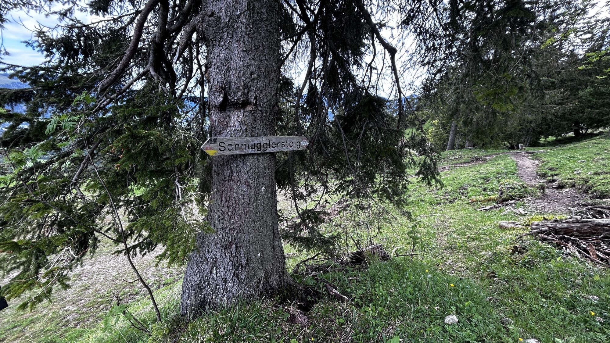
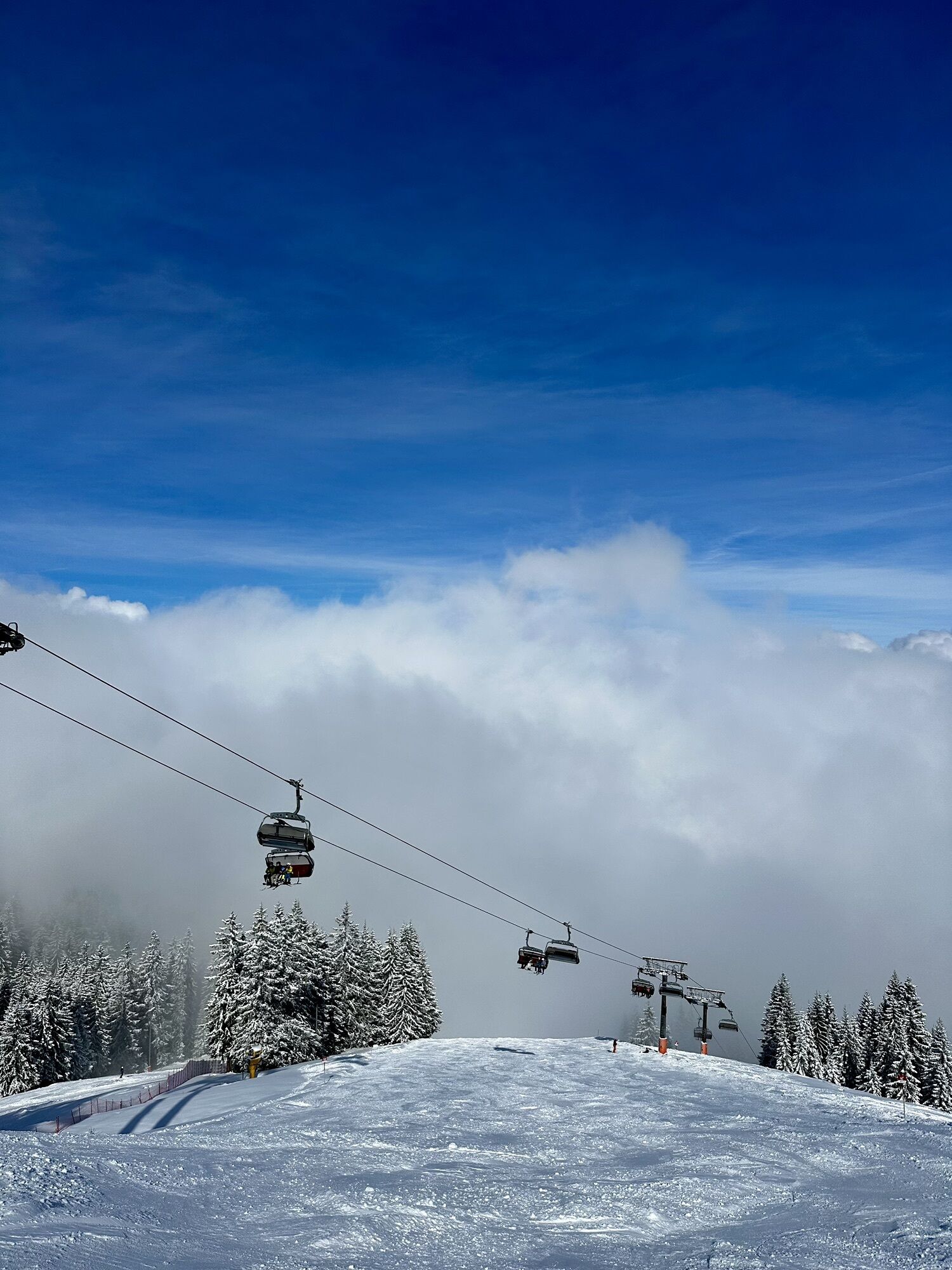
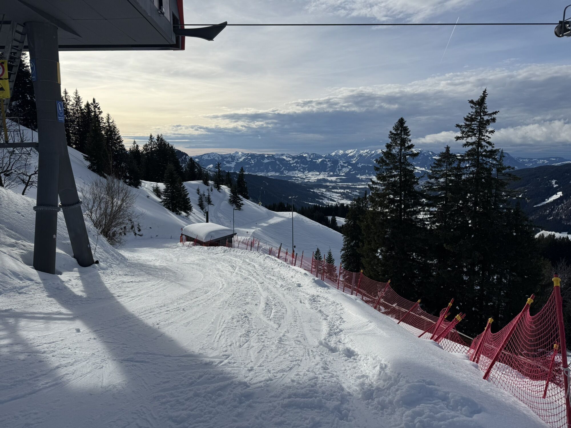
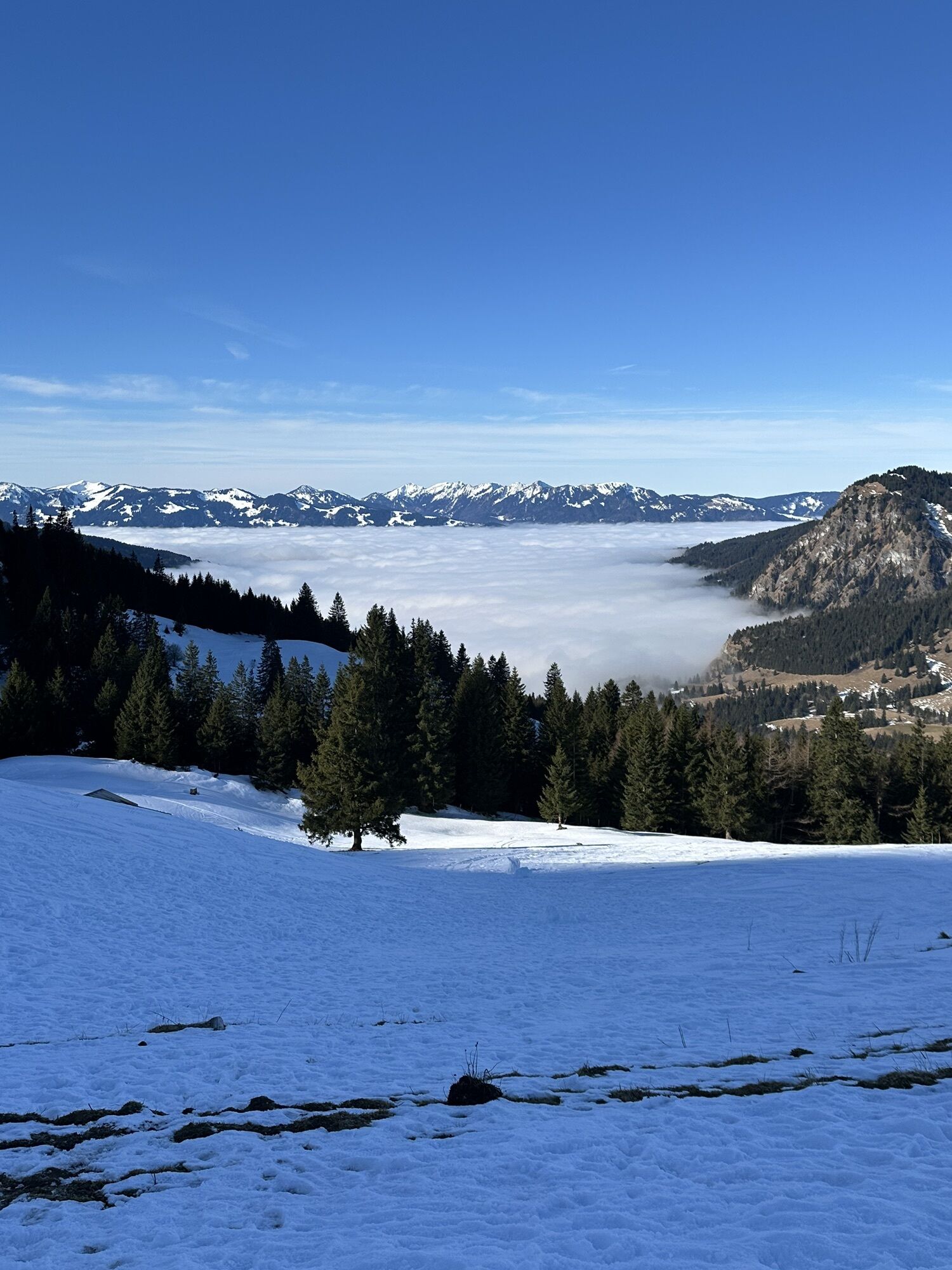
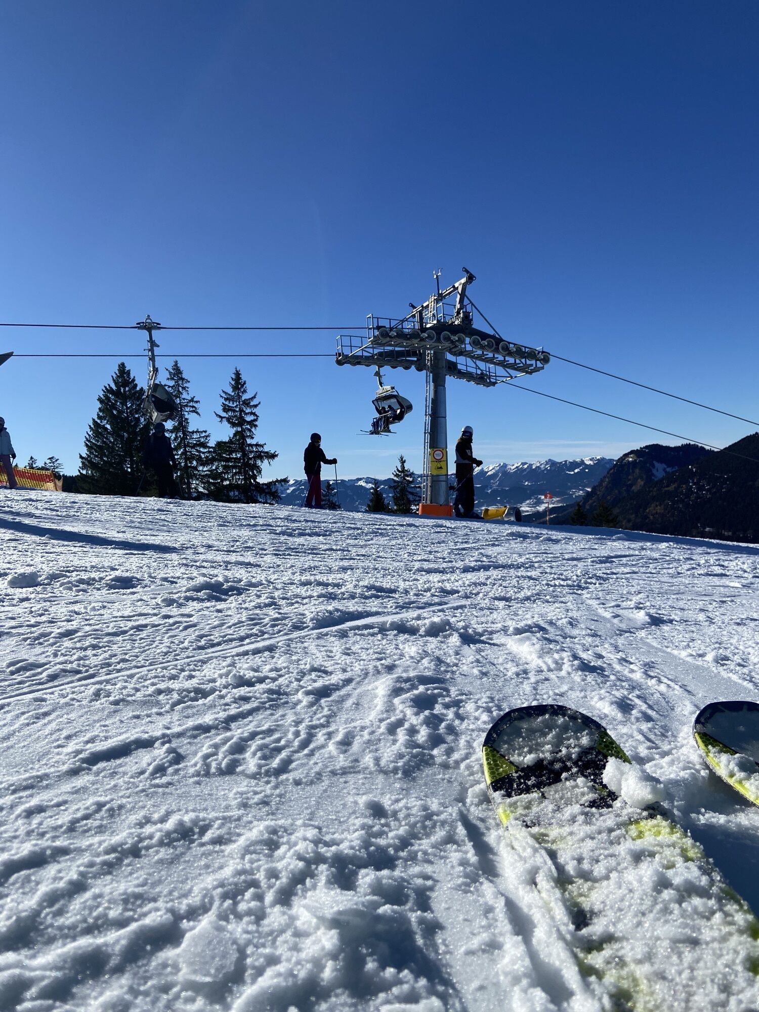
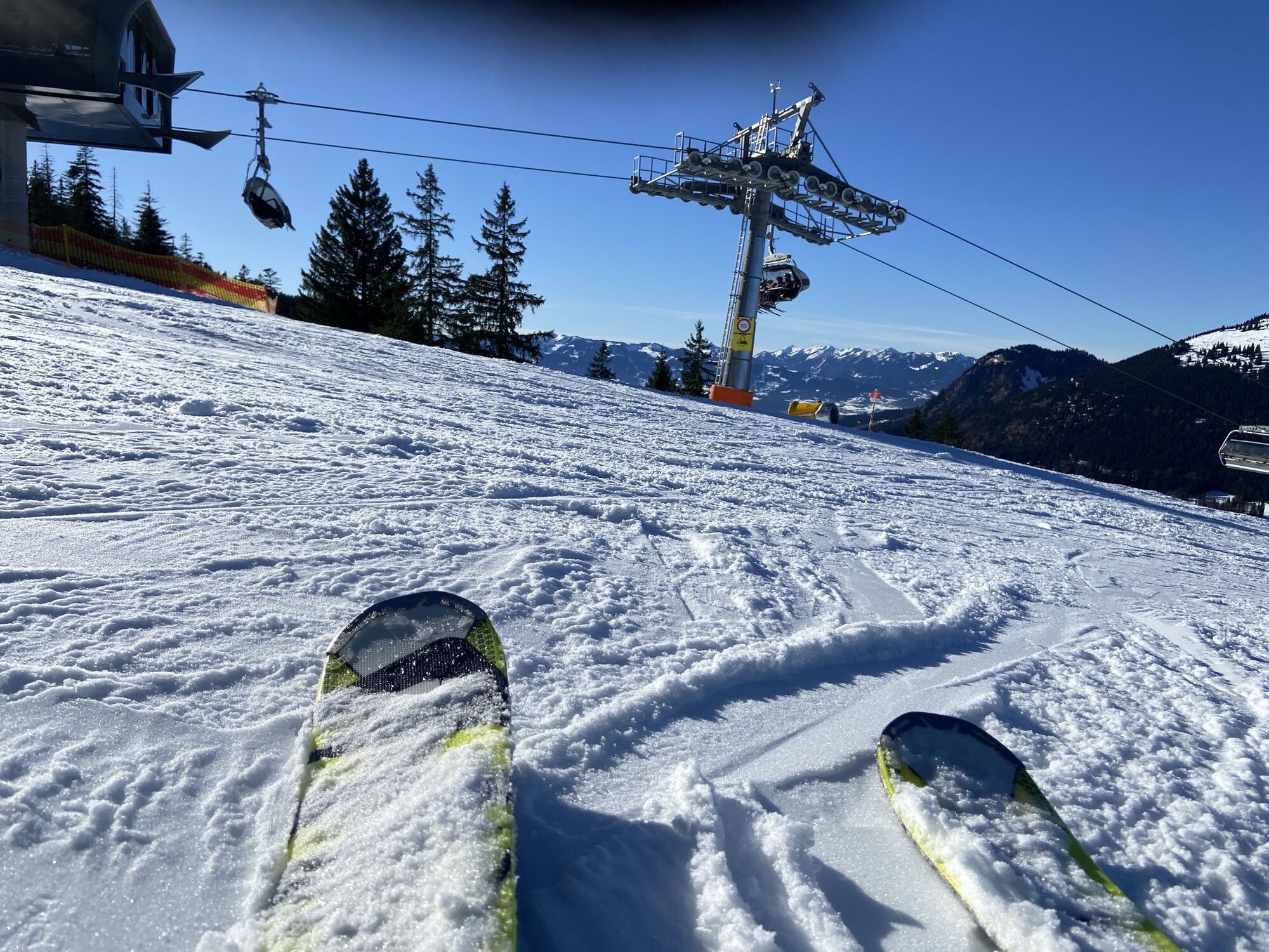
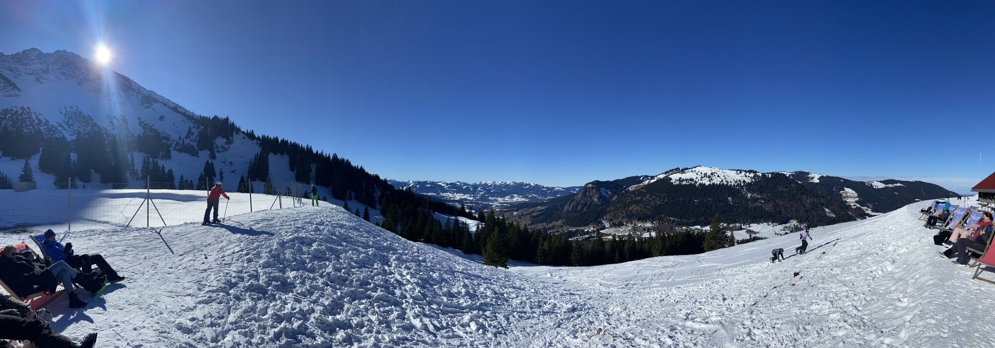
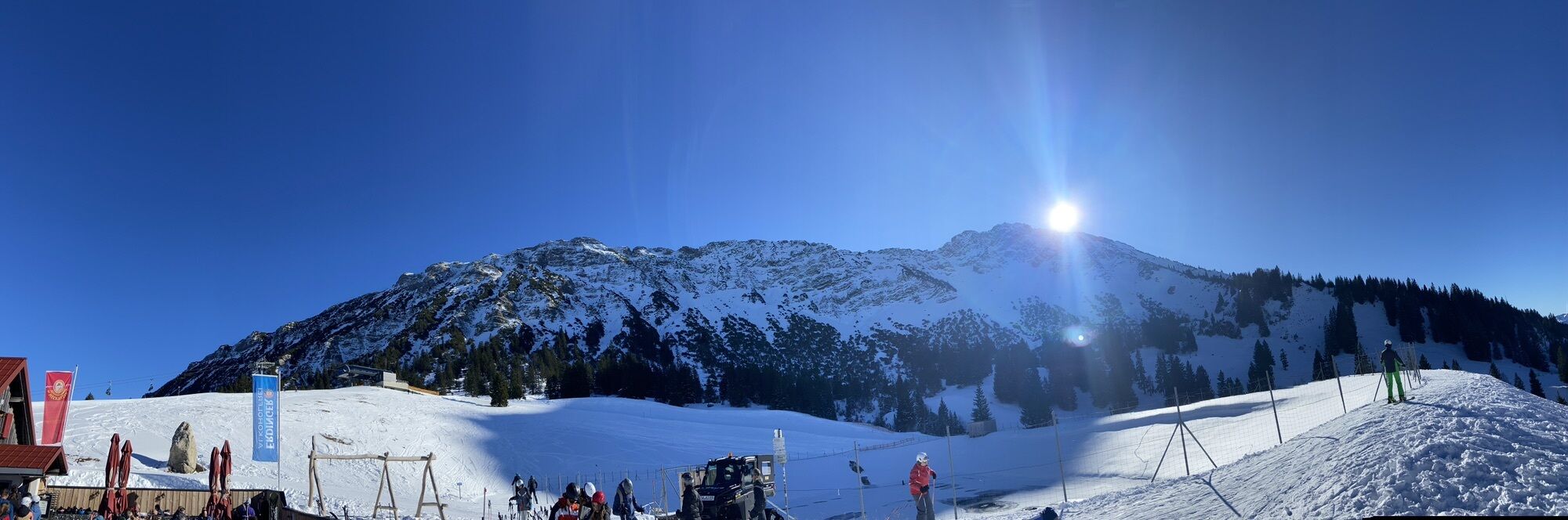
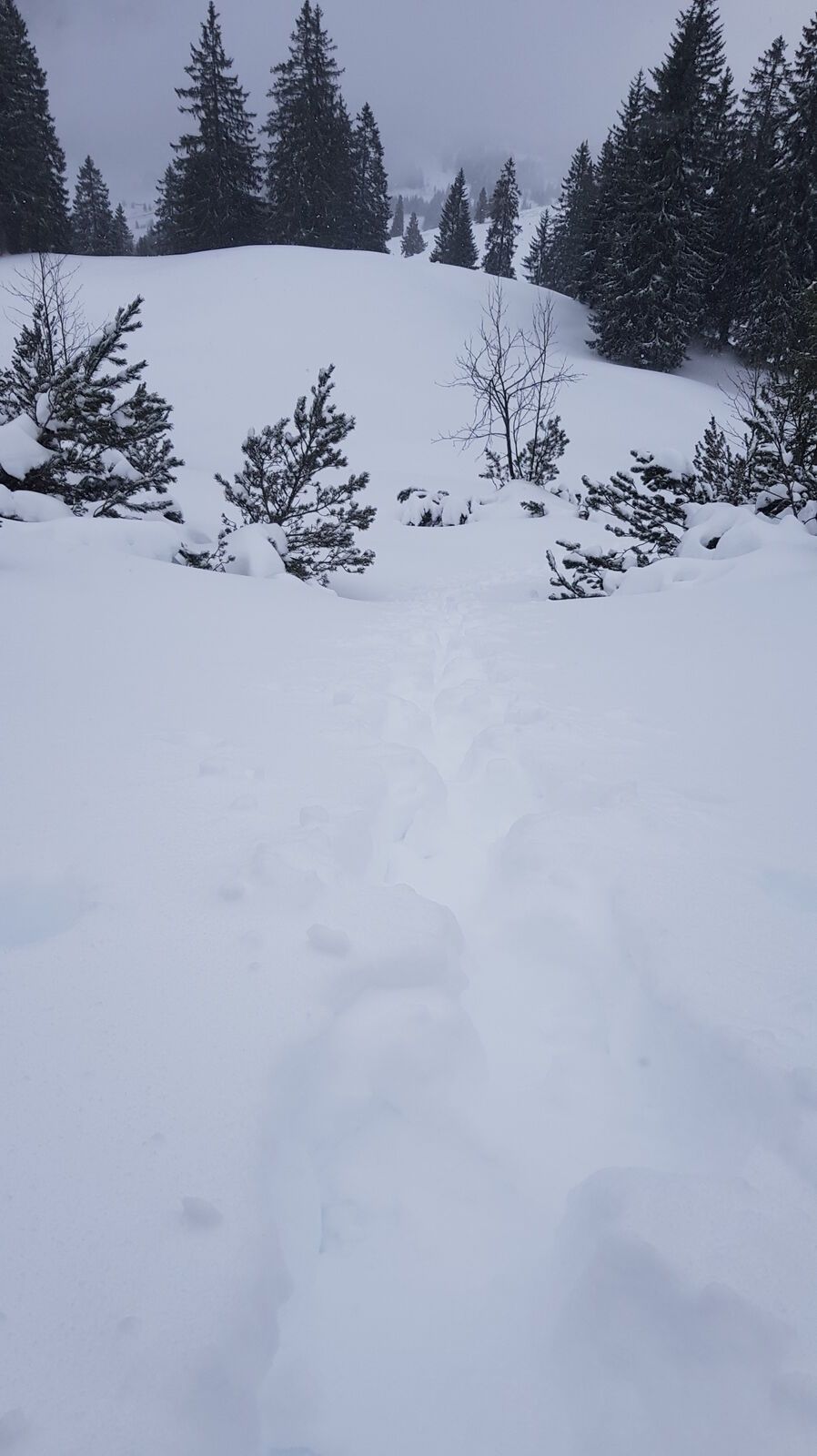
The hiking path called "Schmugglersteig" from Wannenjoch to Iseler. This path was a popular smuggler's route due to the border proximity, which is still noticeable today. A unique adventure for young and...
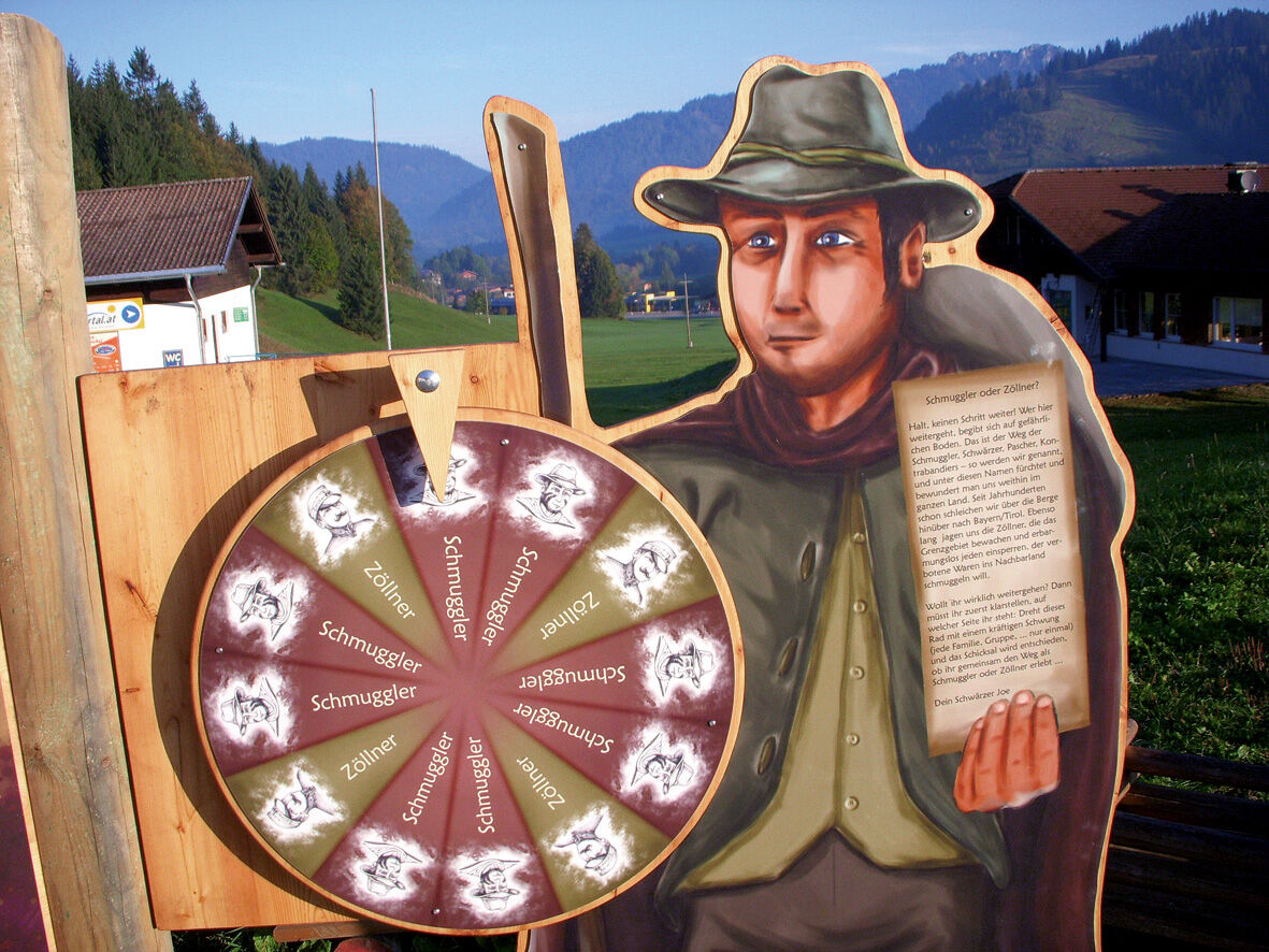
The hiking path called "Schmugglersteig" from Wannenjoch to Iseler. This path was a popular smuggler's route due to the border proximity, which is still noticeable today. A unique adventure for young and old. Already at the valley station, you are greeted by the so-called "Schwärzer" and you decide which role you want to take on: that of the smuggler or the border guard. Upon arrival at the mountain station, you receive the smuggler's or border guard's equipment and are inducted into your respective role. You now walk along the smuggler path and are to transport smuggled goods from Tyrol to Bavaria as a smuggler, or as a border guard, to identify as many smugglers as possible. If you complete the task, all hikers, whether smuggler or border guard, receive the "Smuggler's Pass".
And if it doesn't work right away at the beginning, you have the possibility to come back!
Start at the valley station of the Wannenjoch cable car in Schattwald (Tyrol) or at the valley station of the Iseler cable car in Oberjoch (Allgäu). The hiking bus between Oberjoch and Schattwald runs hourly.

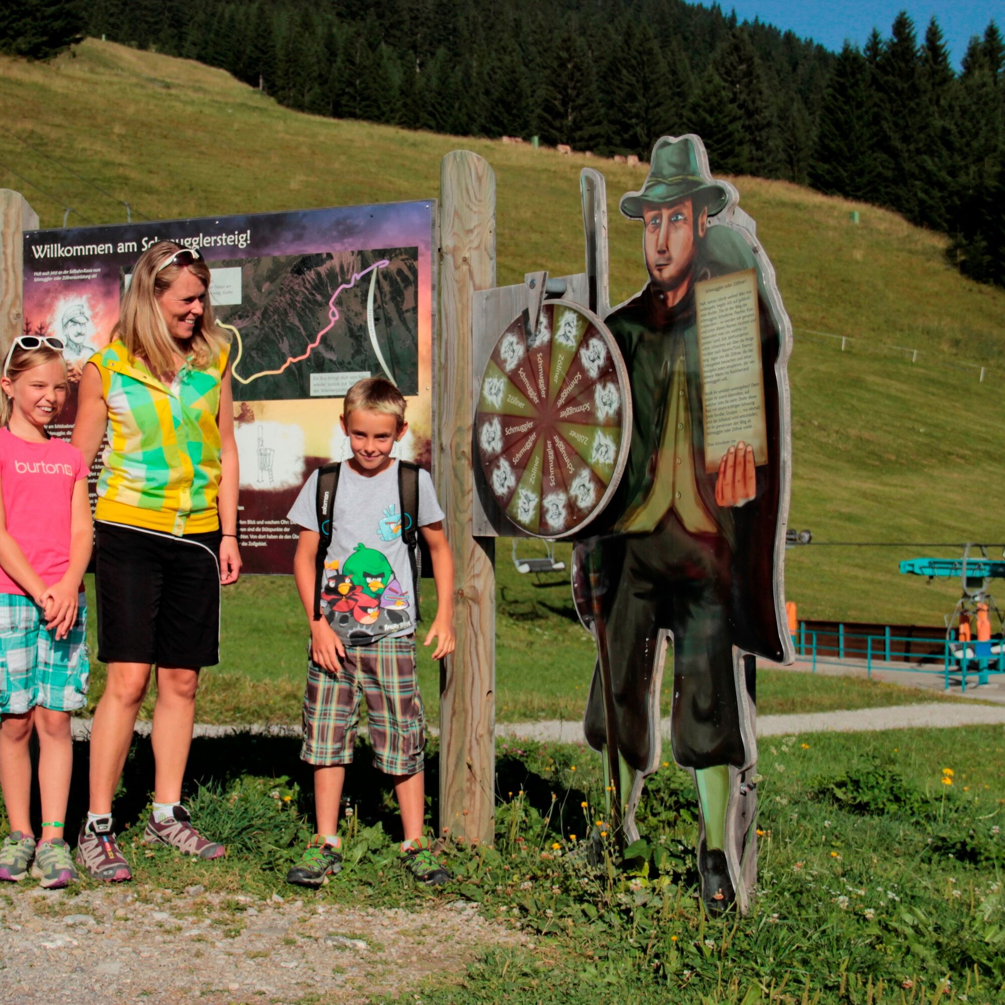
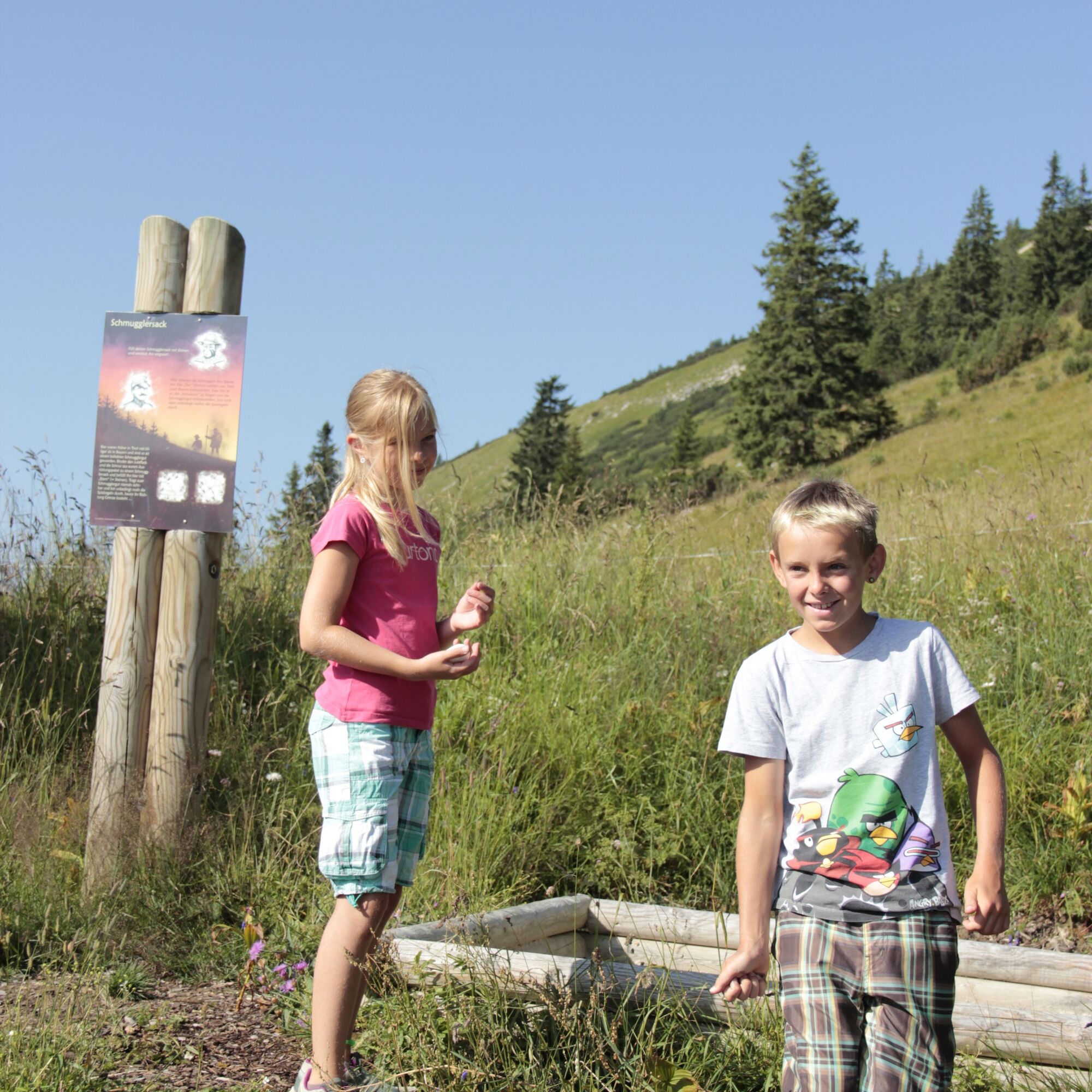
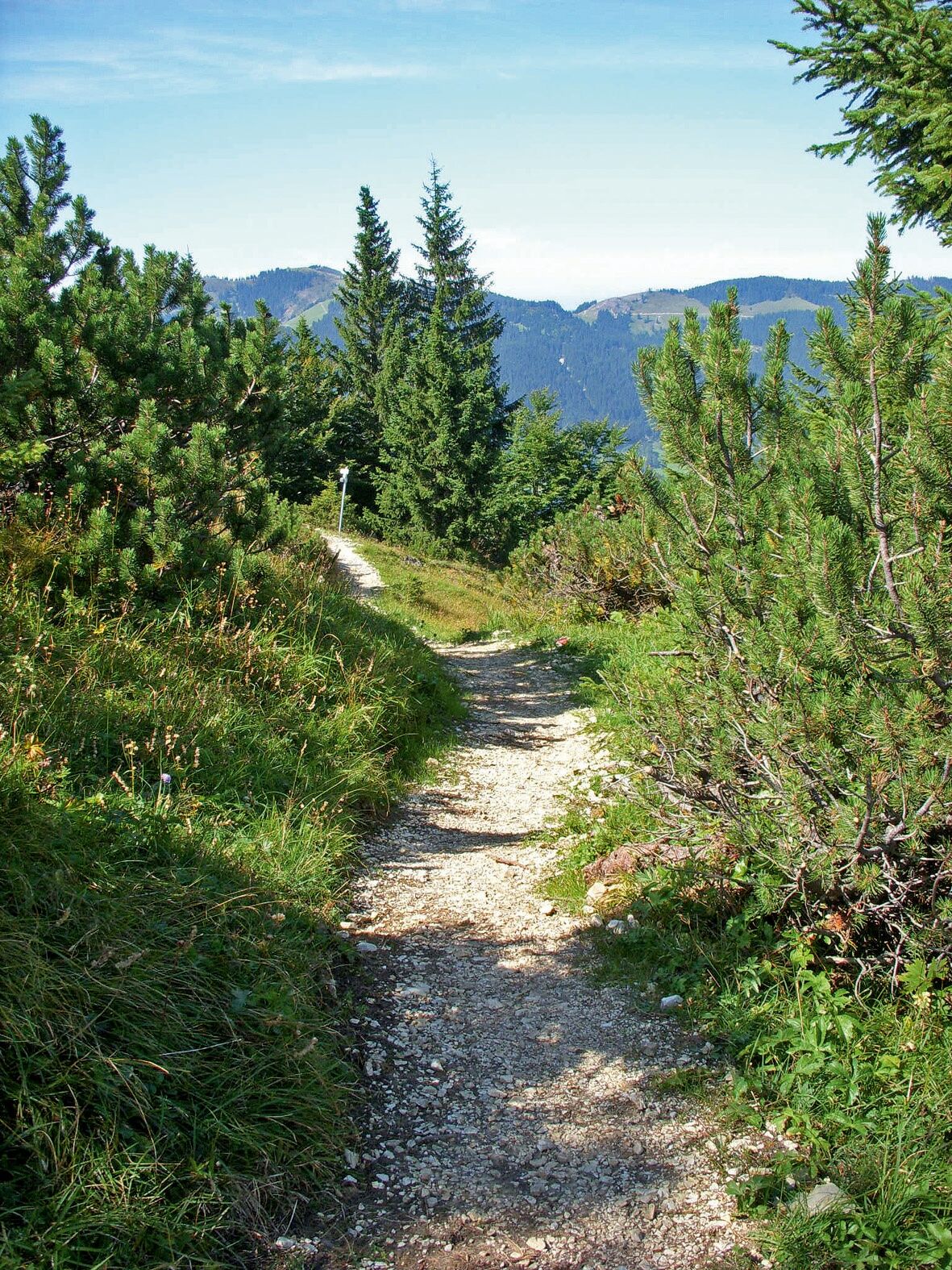

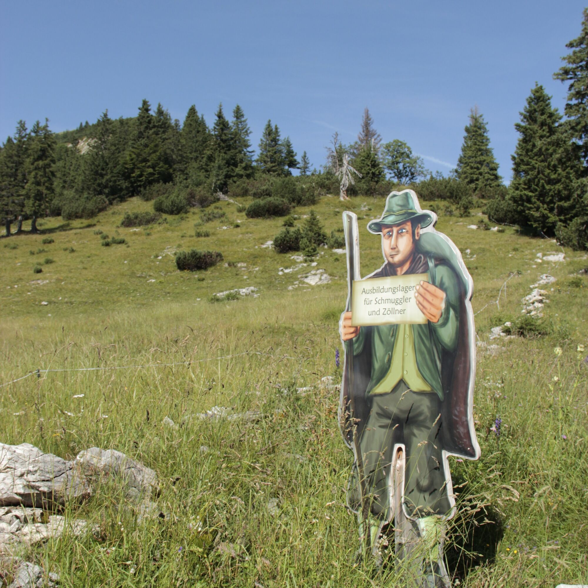

Accordingly hidden and romantically wild is the route to this day - to be completed. After taking the Wannenjoch cable car from Schattwald, you go directly onto the path at the mountain station. It leads in an airy ridge hike across the Tyrolean border to the mountain station of the Iseler cable car. Along the way, you will be surprised by some exciting "Allgäu border experiences".
After the descent to nearby Oberjoch, you can take the hiking bus back to the Tannheimer Tal.
Ano
Ano
Your personal mountain sports equipment must be safe, functional, and conform to the current technical standards. Every hiker is recommended to inform themselves about the planned routes through alpine specialist literature or on site.
Please note that mountain sports involve an increased risk of accidents and injuries. Despite careful tour planning, a basic risk always remains. Tour preparation through endurance training, appropriate technical training and further education as well as personal prudence reduce the risk of accidents and hazards. But please never forget that the weather in the mountains can change very quickly.
Stay on the marked hiking paths.
From the Tyrolean side via Reutte on the B198 towards Lechtal to Weißenbach, over the Gaicht pass along the B199 to the Schattwald exit, direction Wannenjoch cable car.
By train to Sonthofen, Pfronten/Ried or Reutte, then by bus to Schattwald
At the valley station of the Wannenjoch cable car in Schattwald - fee required
T1

Webové kamery z prohlídky
Tannheim
Bad Hindelang/Oberjoch
Bad Hindelang/Oberjoch
Bad Hindelang - Hotel Prinz-Luitpold-Bad
Obere Halde
Obere Halde
Obere Halde
Obere Halde
Obere Halde
Oberjoch, Iselerbahn
Tannheimertal
Bad Hindelang - Chalet Hirschbach
Spieserlifte Unterjoch
Kinderhotel Oberjoch - Bad Hindelang
Kinderhotel Oberjoch - Bad Hindelang
Wiedhagbahn Bergstation
Hornbahn Bad Hindelang
Hornbahn Bad Hindelang
Hornbahn Bad Hindelang
Hornbahn Bad Hindelang
Získejte přehled Vždy živě na místě s více než 9 500 webkamerami. bergfex Jako uživatel Pro si nyní můžete zobrazit odpovídající webové kamery pro mnoho prohlídek v aplikaci prohlídky z. Můžete si tak přímo prohlédnout aktuální podmínky. Oblíbené prohlídky v okolí
- 4.9
Hiking tour to Breitenberg
heavyTuristika 15.6 km - 4.7
Mountain hike to the Aggenstein
heavyTuristika 15.3 km - 4.9
Gemeinde Grän, Tirol/Österreich Aggenstein Rundtour über Höhenweg
středníTuristika 9.84 km - 4.8
To the Bad Kissinger Hut via the Gräner Höhenweg
středníTuristika 13.0 km - 4.8
Tannheim / Vilsalpsee / Landsberger Hütte
středníTuristika 15.7 km - 3.9
Klassikertour: Auf den Grünten
heavyTuristika 8.50 km - 4.7
Panorama route to the Ostlerhütte
středníTuristika 5.11 km - 4.8
Iseler und Kühgundkopf
středníTuristika 7.63 km - 4.3
Trasa kolem tří jezer (oceněná tyrolským pečetí kvality pro turistické stezky)
středníTuristika 14.8 km - 4.7
3-Gipfel-Tour
středníTuristika 11.2 km
Pěší turistika a stopování


Nenechte si ujít nabídky a inspiraci pro vaši příští dovolenou
Vaše e-mailová adresa byl přidán do poštovního seznamu.





