Kreuzspitze
světlo
Pořiďte si tuto prohlídku do mobilního telefonu
Kreuzspitze
světlo
Lyžařská trasa
5.33
km
Naskenujte QR kód a spusťte navigaci v aplikaci bergfex.

Pěší turistika a stopování


Kreuzspitze
světlo
Vzdálenost
5.33
km
Doba trvání
03:00
h
Ascent
975
hm
Hladina moře
1636 -
2612
m
Stažení skladby
Kreuzspitze
světlo
Lyžařská trasa
5.33
km
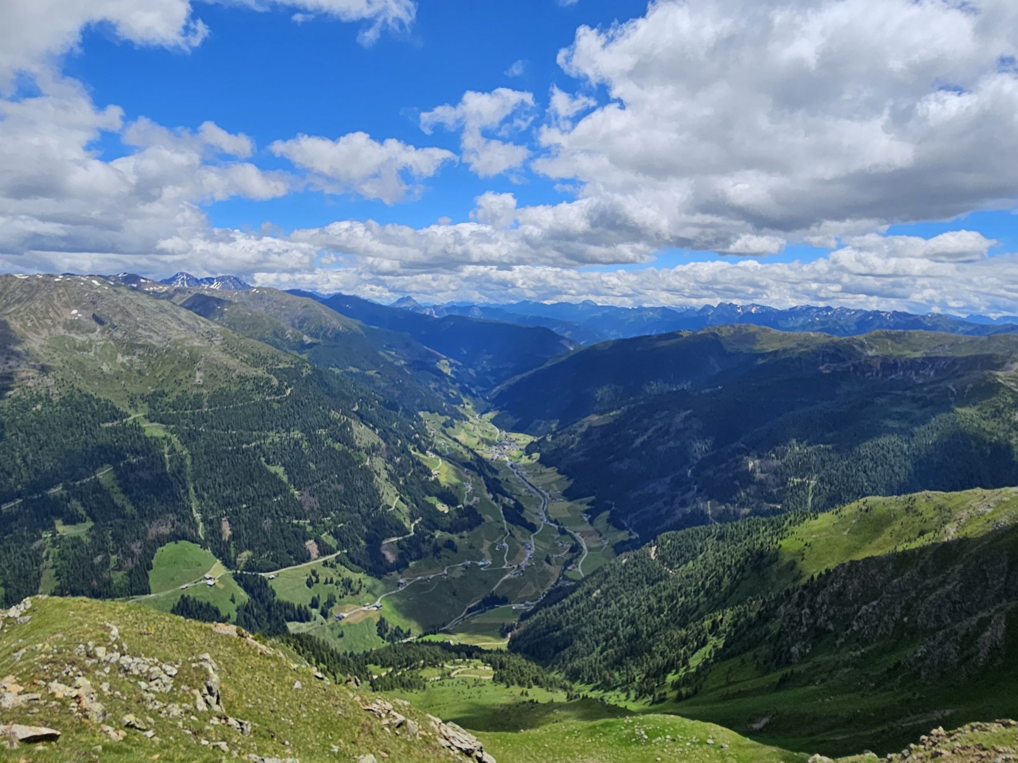
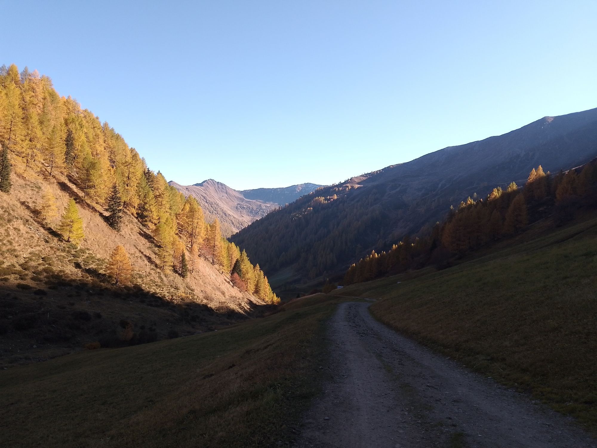
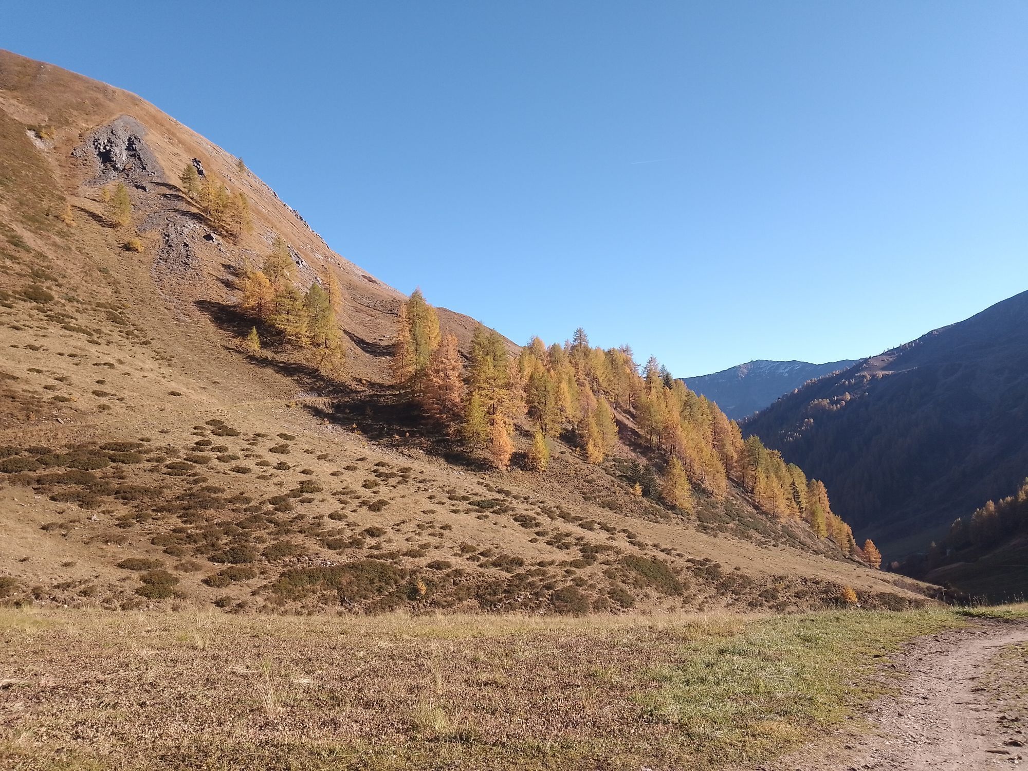
On the road to Innervillgraten the Kriezspitze, with its steep flanks, catches the eyes of ski tourers from quite a distance. It is probably one of the most popular tour destinations in Villgraten Tal...
Popis
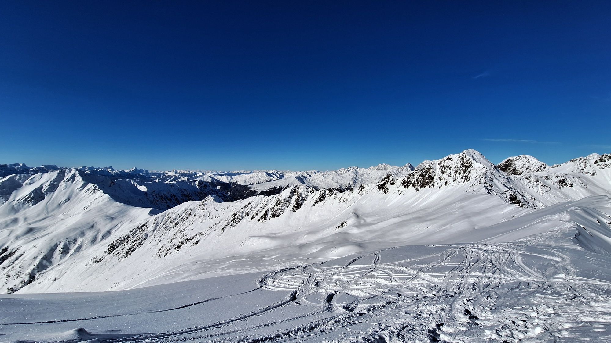
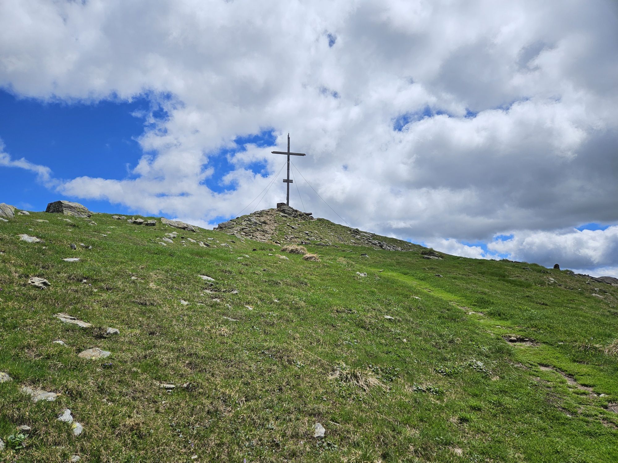
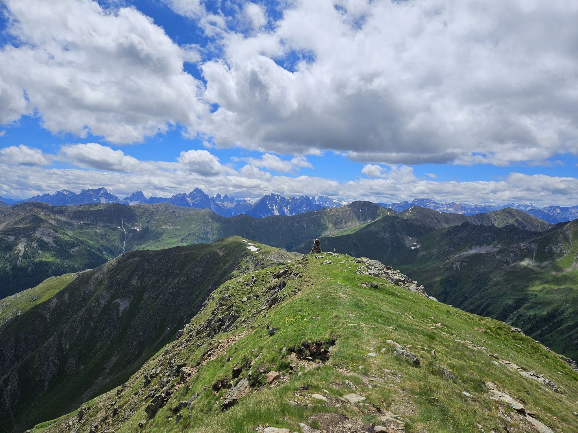
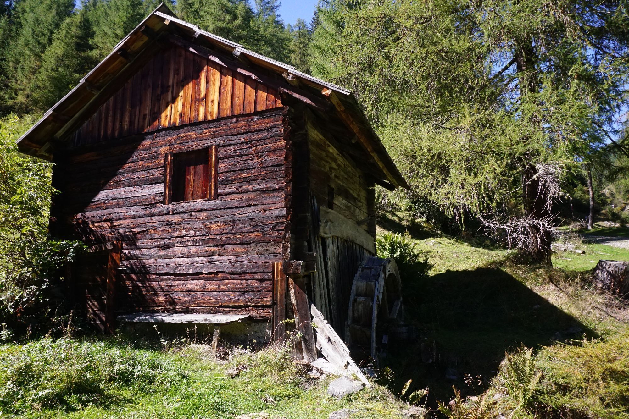
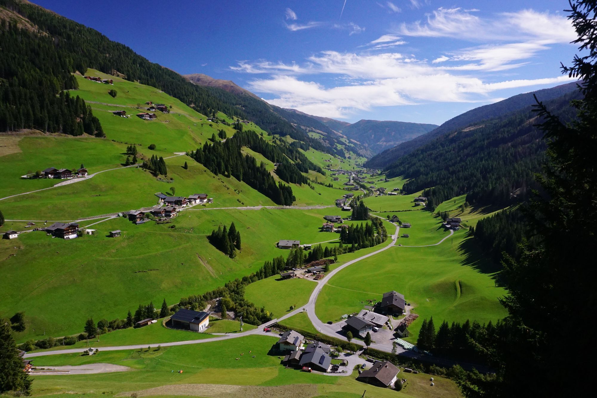
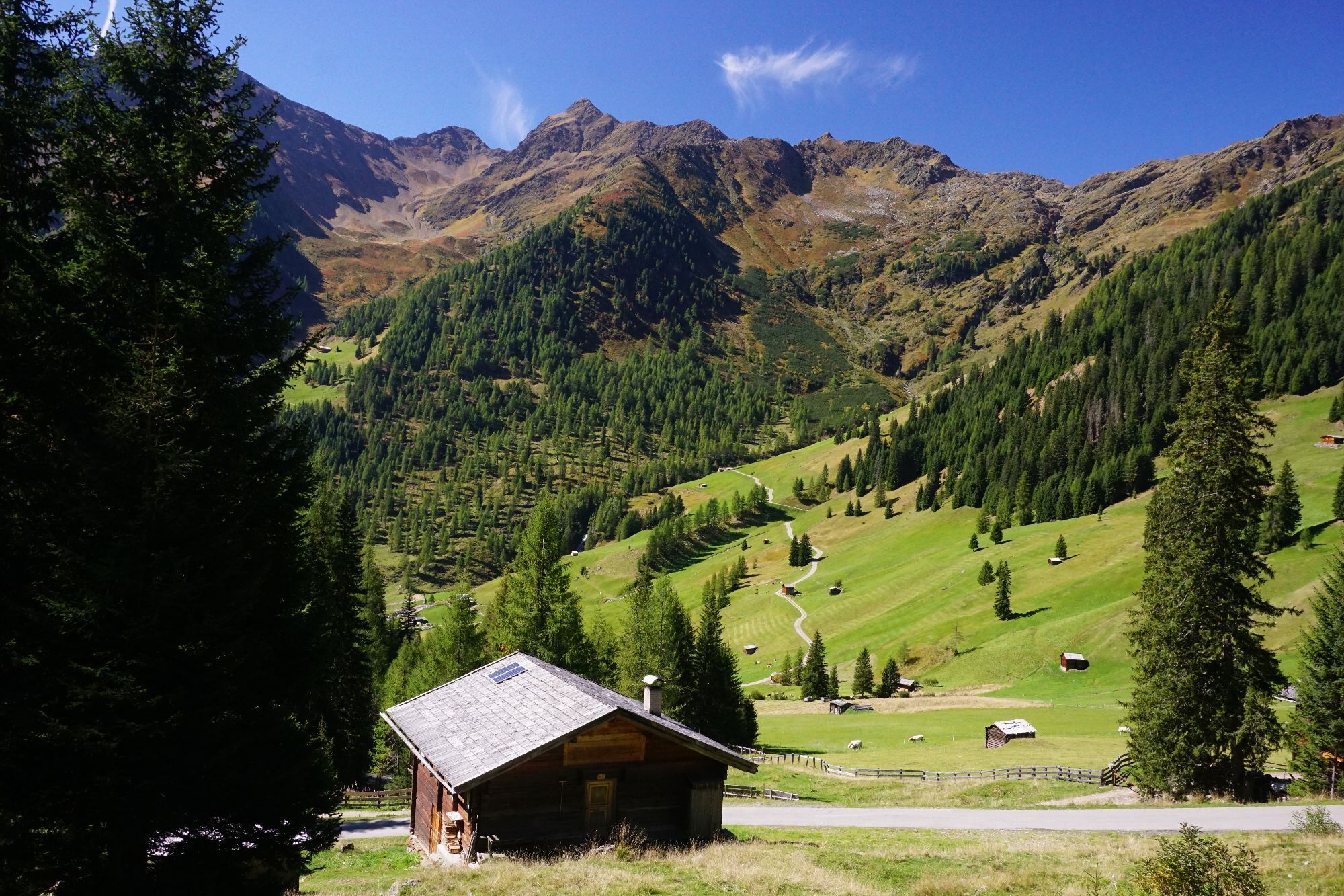
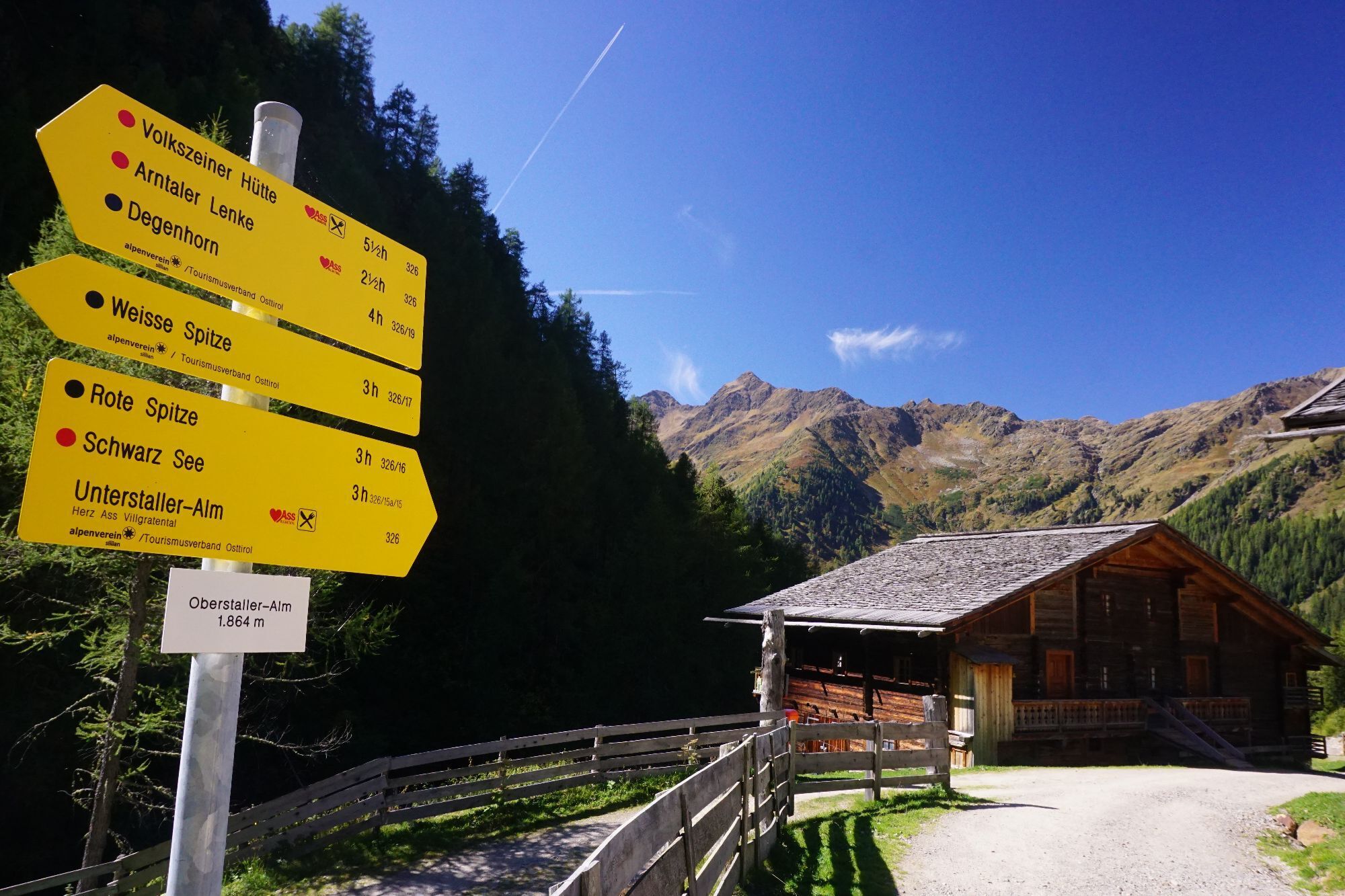
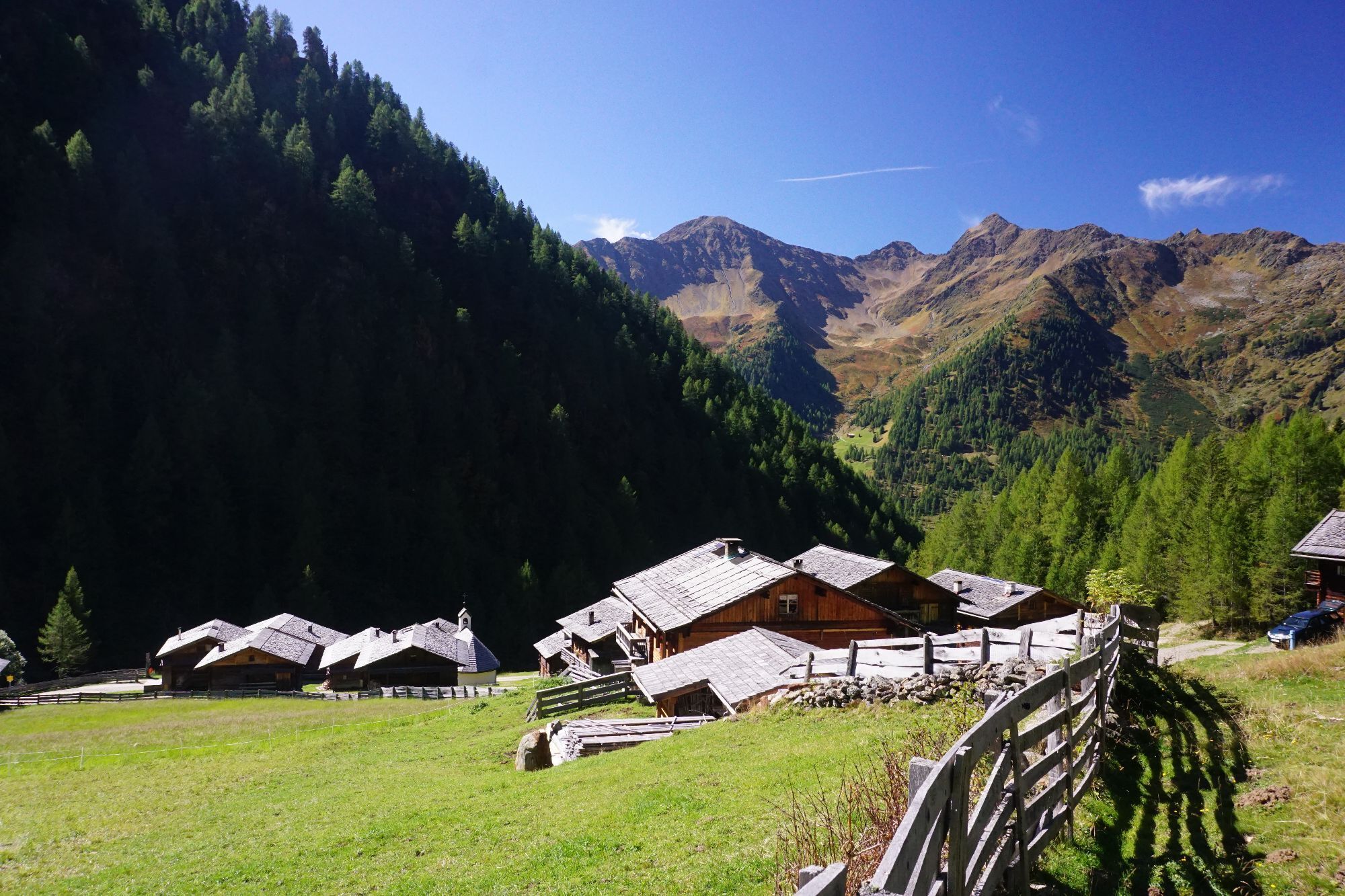
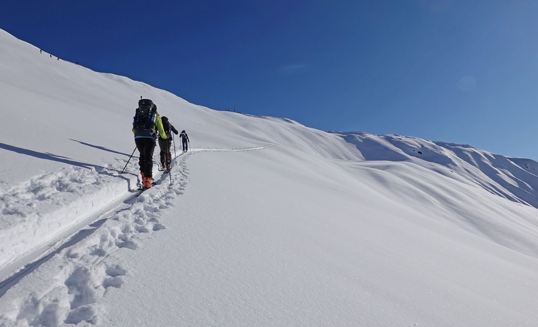
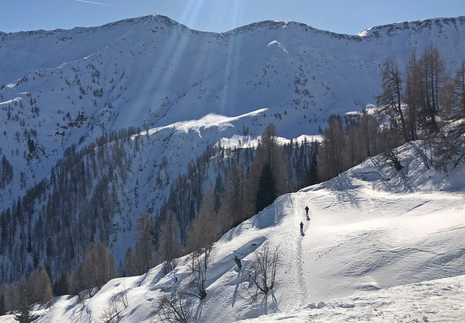
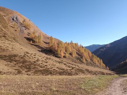
On the road to Innervillgraten the Kriezspitze, with its steep flanks, catches the eyes of ski tourers from quite a distance. It is probably one of the most popular tour destinations in Villgraten Tal and when conditions are appropriate can be tackled throughout the winter. Starting point is the little parish of Kalkstein (1640 m), around five kilometres after Innervillgraten. At the often heavily used car park you get an inkling even at the start that the seclusion of the mountains in this area is not far off. Initially we follow the trail through a larch forest, which branches off after five minutes. This is where you have to make your first decision. Straight into the valley lovelier, leisurely tour options open up with the Gaishörndl and the Toblacher Pfannhorn, while we bear right into Rosstal and head into the valley to Lipperalm. Having reached the head of the valley, with the Kalksteinjöchl, a popular crossing to South Tirol opens up, in earlier times busily frequented by smugglers, and which in the intervening period is nothing more than another tour option for summer and winter (pay attention to the signposts). Via the gentle gully and trough terrain we now climb slowly and after three hours get to the summit with its wooden cross, which can be seen from quite a distance. Ideally follow the descent a bit to the left of the ascent track via lovely gullies and troughs, where great snow conditions are often to be had.
Additional ski tour tips can be obtained in the ski tour guides by Thomas Mariacher. These are available here: http://www.grafikzloebl.at/verlag/buecher/
Trasa
Maria Schnee
(1637 m)
Místo konání bohoslužeb
0.0 km
Alfenalm
(1703 m)
Vypořádání
0.2 km
Kreuzspitze
(2624 m)
Summit
5.3 km
Trasa
Kreuzspitze
světlo
Lyžařská trasa
5.33
km
Kalkstein
(1630 m)
Vypořádání
0.0 km
Maria Schnee
(1637 m)
Místo konání bohoslužeb
0.0 km
Alfenalm
(1703 m)
Vypořádání
0.2 km
Kreuzspitze
(2624 m)
Summit
5.3 km
Naposledy sledované
dnes
Informace o příjezdu
Příjezd
Mit dem Auto bis zum Weiler Kalkstein
Veřejná doprava
Mit dem Bus bis zu Haltestelle "Innervillgraten Kalkstein"
Parkování
Parkplatz bei der Bad'l Alm
Oceňování
1 Komentář:
Heiner Temming
22. Aug. 2025
Kalkstein-Kreuzspitze
Der Weg bis zum Talschluss über den geschotterten Wirtschaftsweg ist ein wenig eintönig, es zieht sich, aber am Ziel ist alles vergessen! Die tolle Aussicht entschädigt die Strapazen.
Webové kamery z prohlídky


Oblíbené prohlídky v okolí
-
4.8
Antholzer See - Steinzger Alm
středníTuristika 7.48 km -
4.8
Seerunde
světloTuristika 2.66 km -
4.7
Rund um den Antholzer See
světloTuristika 4.27 km -
4.6
Rote Wand
středníVysokohorská turistika 12.0 km -
4.8
Von Kalkstein auf das Toblacher Pfannhorn (2.663 m) und Marchkinkele
středníTuristika 14.2 km -
4.8
Sillianer Hütte 2.447 m
středníTuristika 16.8 km -
4.3
Seespitze
středníTuristika 13.7 km -
3.9
Helm und Sillianer Hütte
světloTuristika 8.17 km -
5.0
Trojertal, Hintere Trojeralm
světloTuristika 8.97 km -
4.0
Heimkehrer Kreuz - Hornischegg - Sillianer Hütte
středníTuristika 9.43 km
Pěší turistika a stopování

Více než 550.000 návrhů výletů, podrobné mapy a intuitivní plánovač tras dělají z aplikace nezbytnou výbavu pro všechny milovníky přírody.

Nenechte si ujít nabídky a inspiraci pro vaši příští dovolenou
Přihlaste se k odběru newsletteru
Chyba
Došlo k chybě. Zkuste to prosím znovu.
Děkujeme za vaši registraci
Vaše e-mailová adresa byl přidán do poštovního seznamu.
Zájezdy po celé Evropě
Rakousko
Švýcarsko
Německo
Itálie
Slovenia
Francie
Nizozemsko
Belgie
Polsko
Lichtenštejnsko
Česko
Slovensko
Španělsko
Chorvatsko
Bosna a Hercegovina
Lucembursko
Andorra
Portugal
Iceland
United Kingdom
Ireland
Greece
Albania
North Macedonia
Malta
Norway
Montenegro
Moldova
Kosovo
Hungary
San Marino
Romania
Estonia
Latvia
Belarus
Cyprus
Lithuania
Serbia
Bulgaria
Monaco
Denmark
Sweden
Finland