
Mutterer alm
střední
Pořiďte si tuto prohlídku do mobilního telefonu
Mutterer alm
střední
Lyžování
89.16
km
Naskenujte QR kód a spusťte navigaci v aplikaci bergfex.


Pěší turistika a stopování




Mutterer alm
střední
Vzdálenost
89.2
km
Doba trvání
04:12
h
Ascent
9037
hm
Hladina moře
623 -
1803
m

Navigujte po trase v aplikaci
Nainstalujte si aplikaci zdarma a mějte trasu vždy na očích díky GPS navigaci a sledování polohy.
Využijte nyní službu „ bergfex “ v aplikaci
Naskenuj QR kód pomocí fotoaparátu
Jakmile je aplikace nainstalována, obsah se otevře přímo. Pokud aplikaci ještě nemáš, budeš přesměrován na stránku, kde si ji můžeš zdarma stáhnout.
Stažení skladby
Mutterer alm
střední
Lyžování
89.16
km


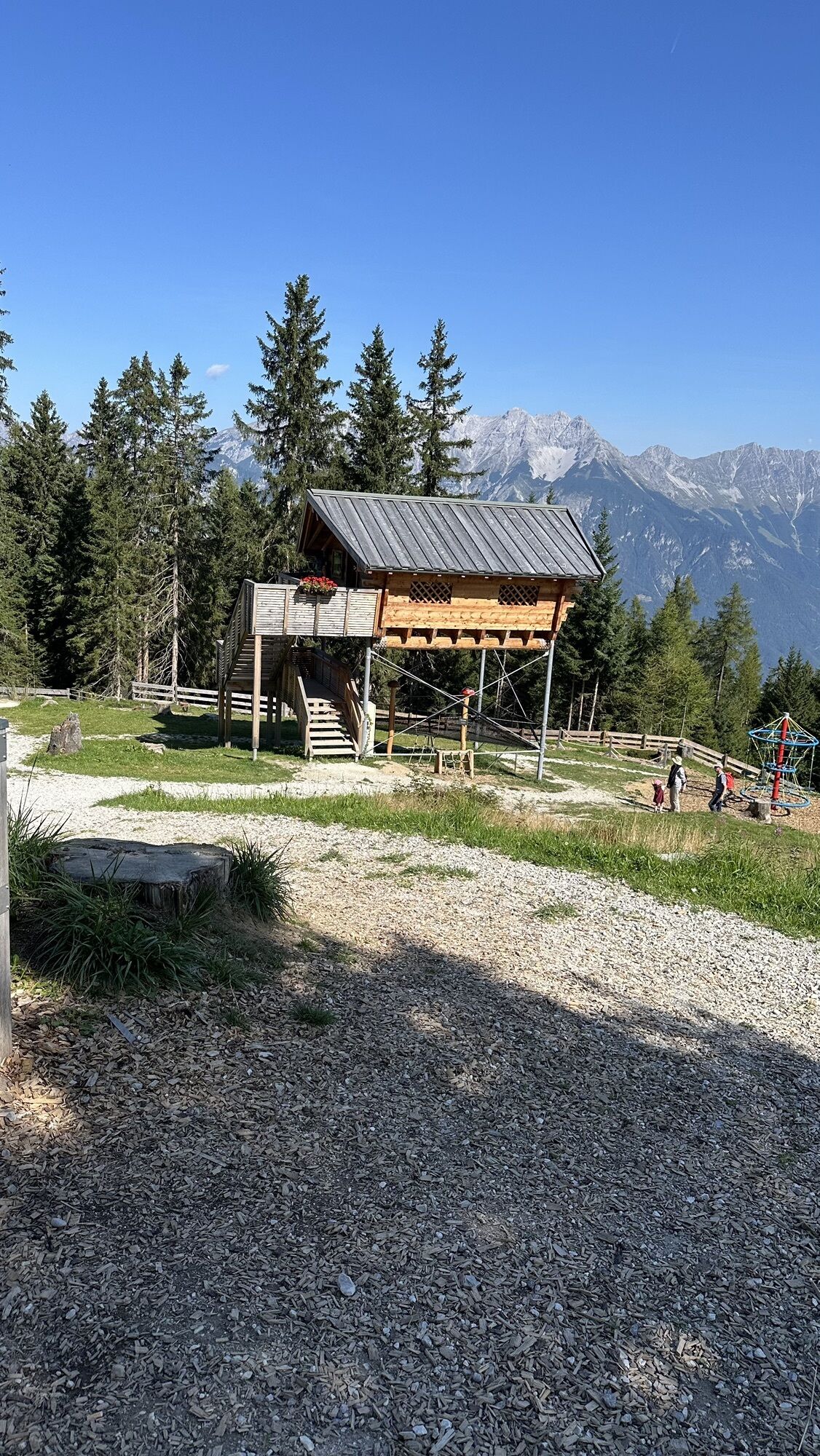
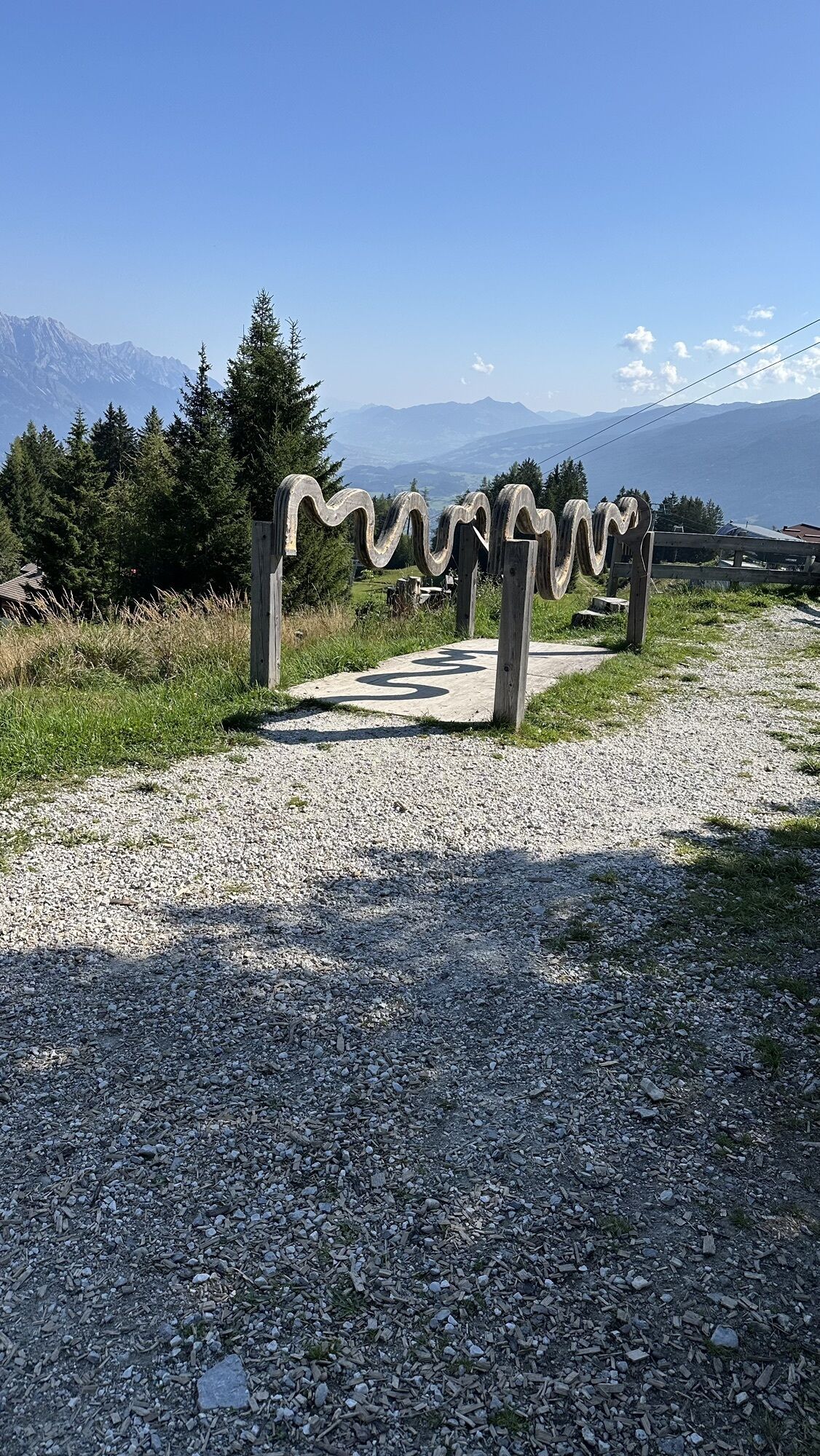
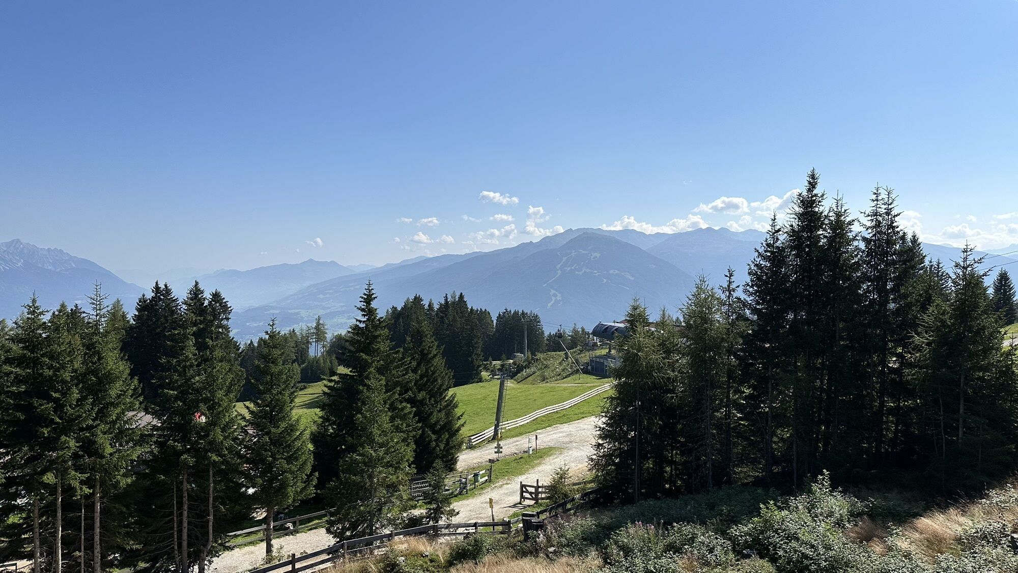
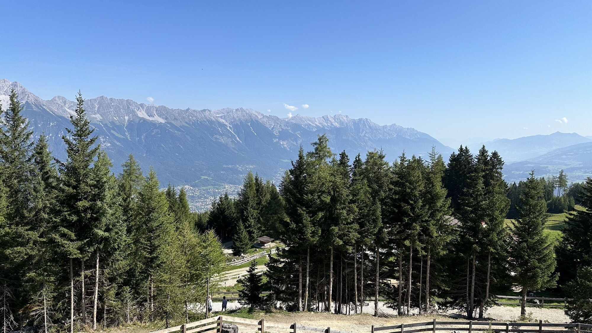
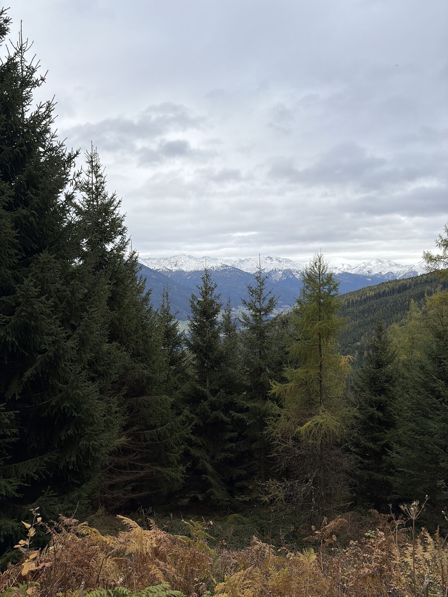
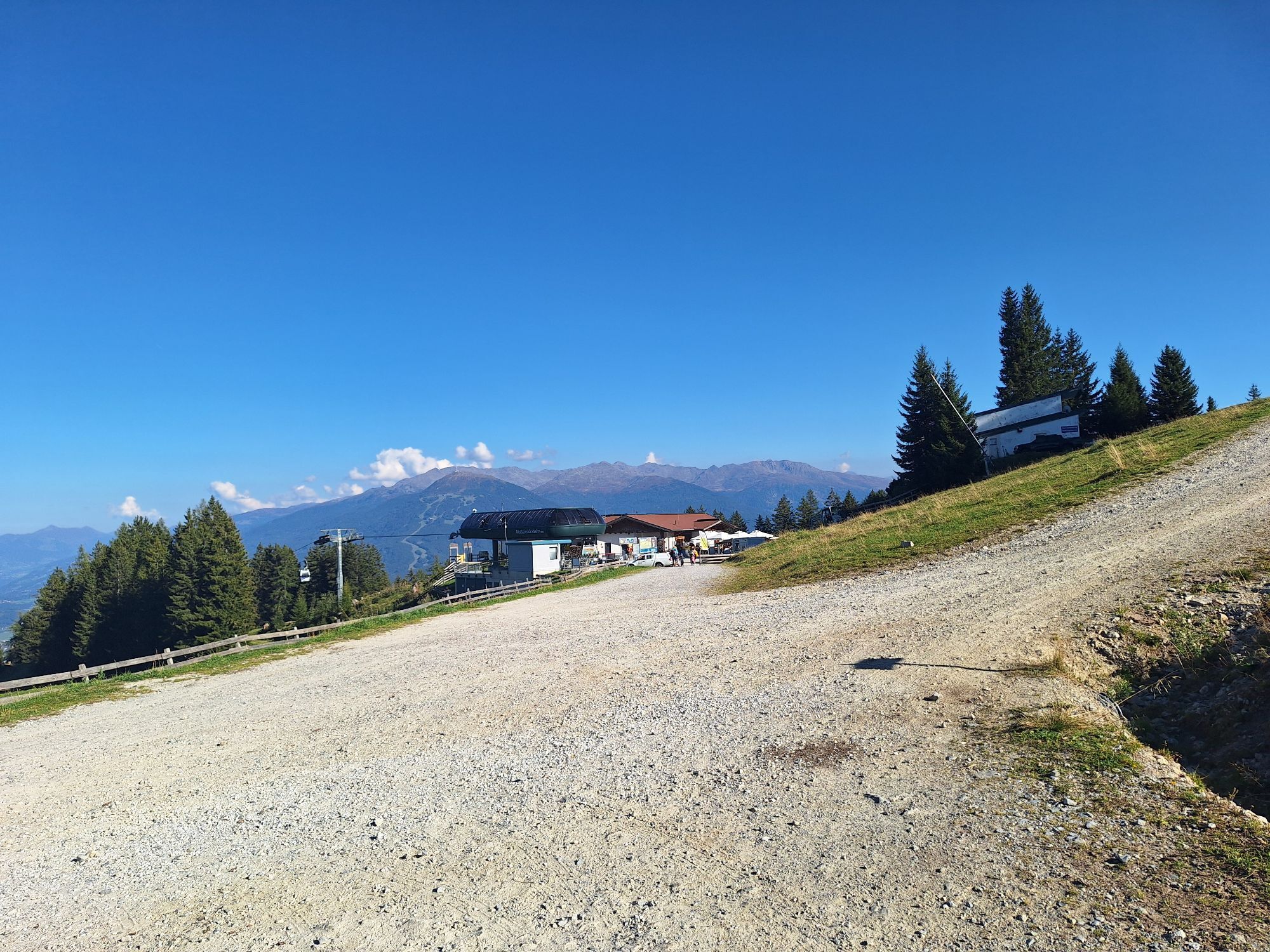
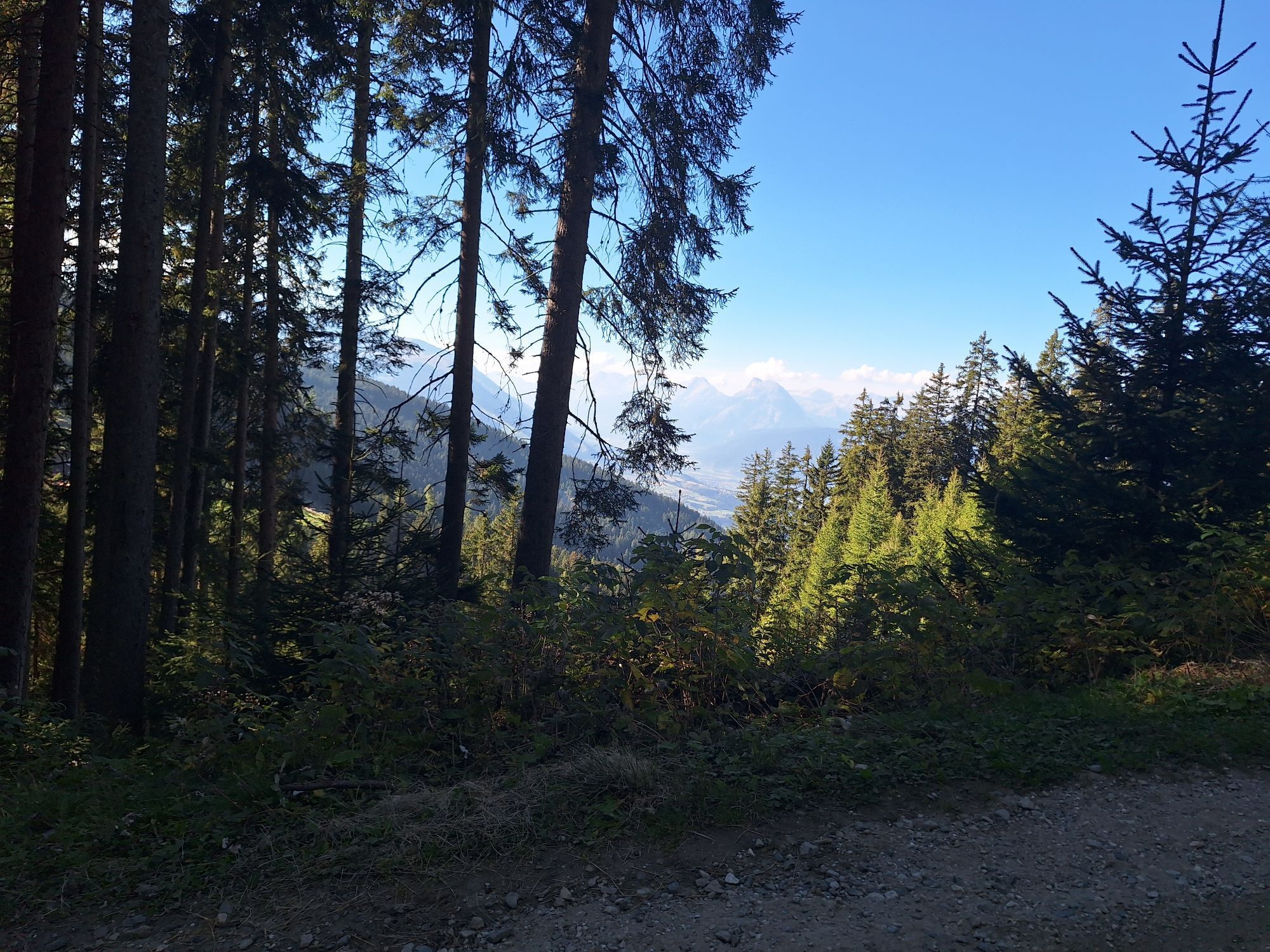
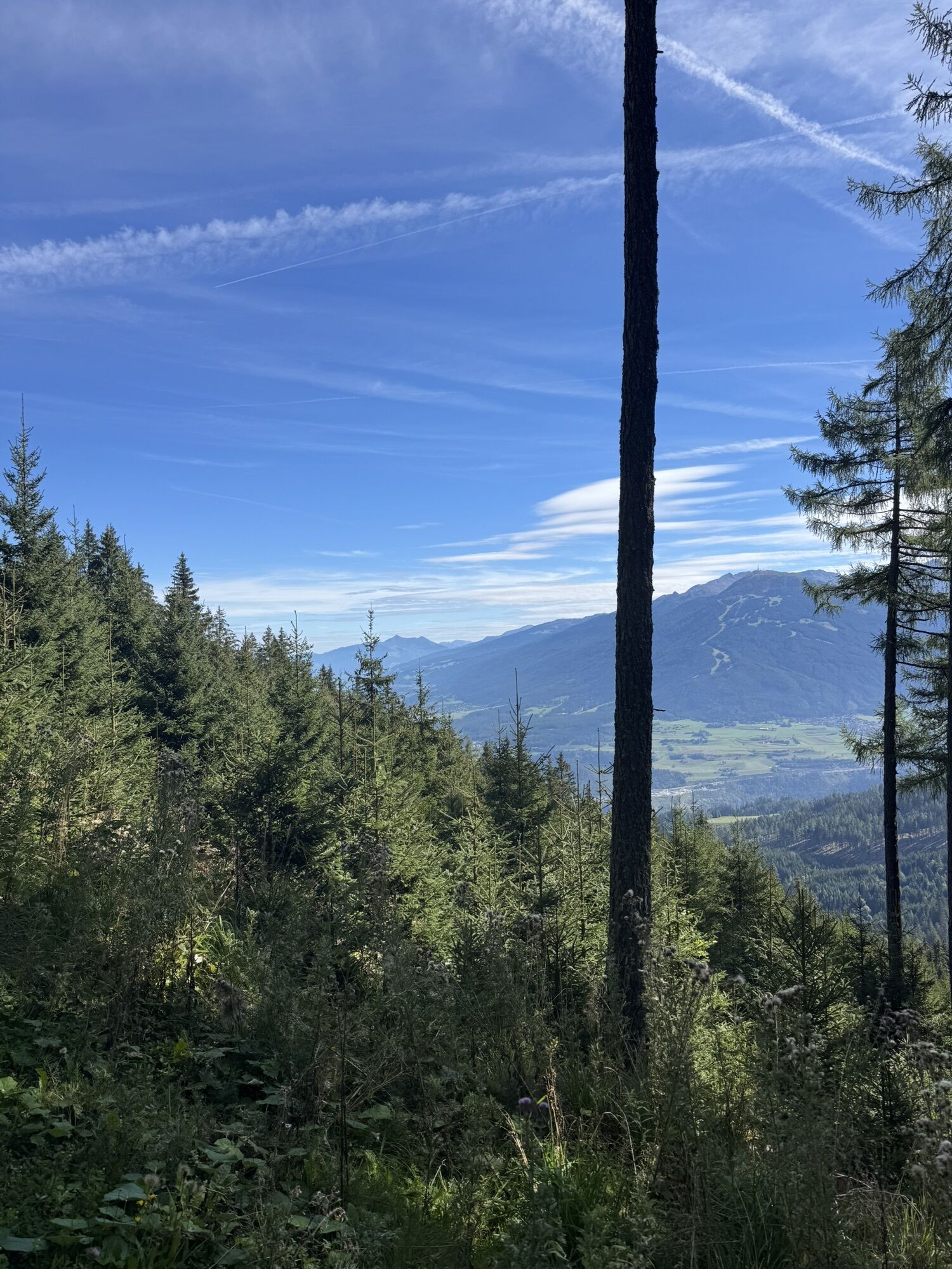
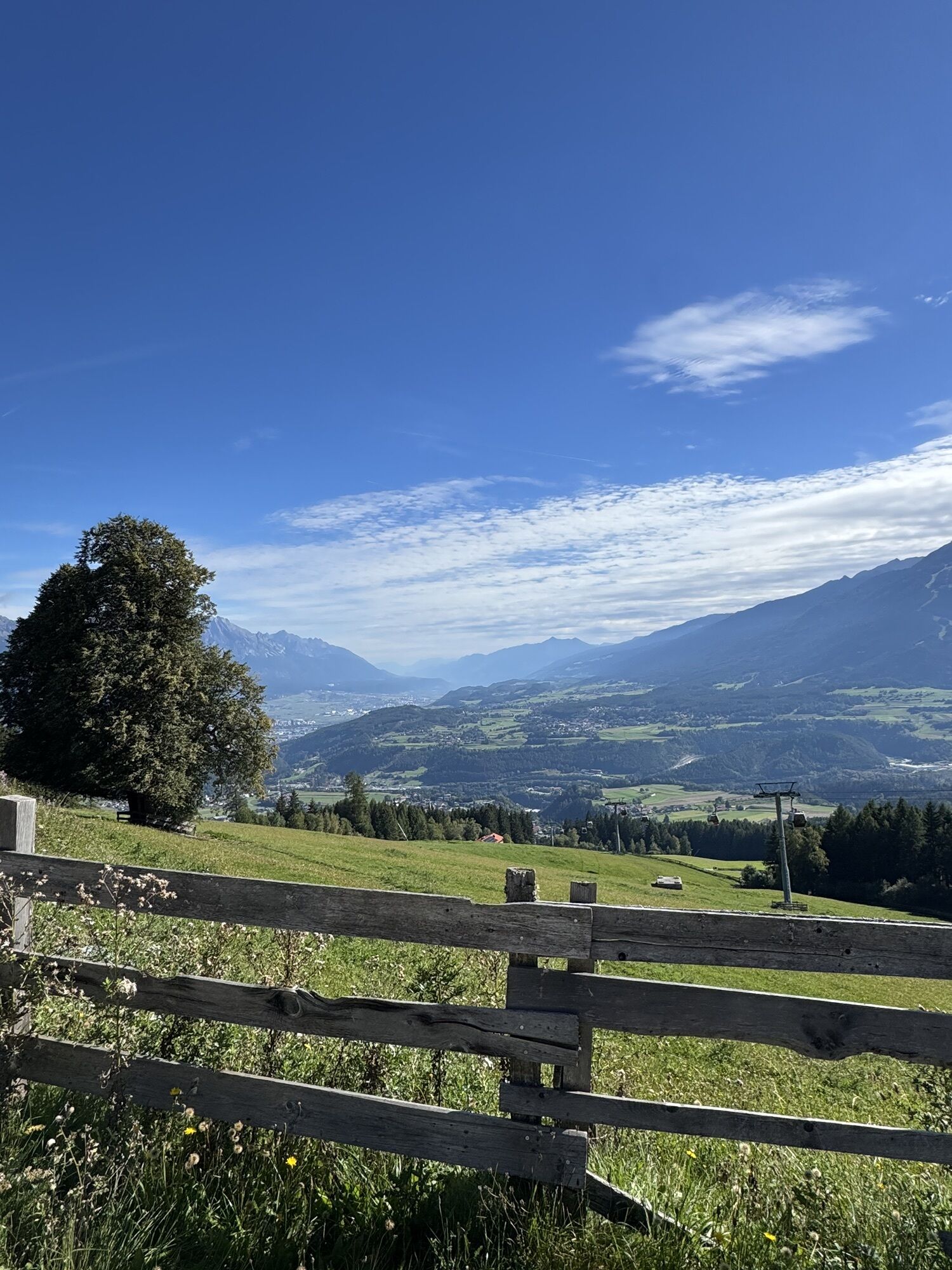
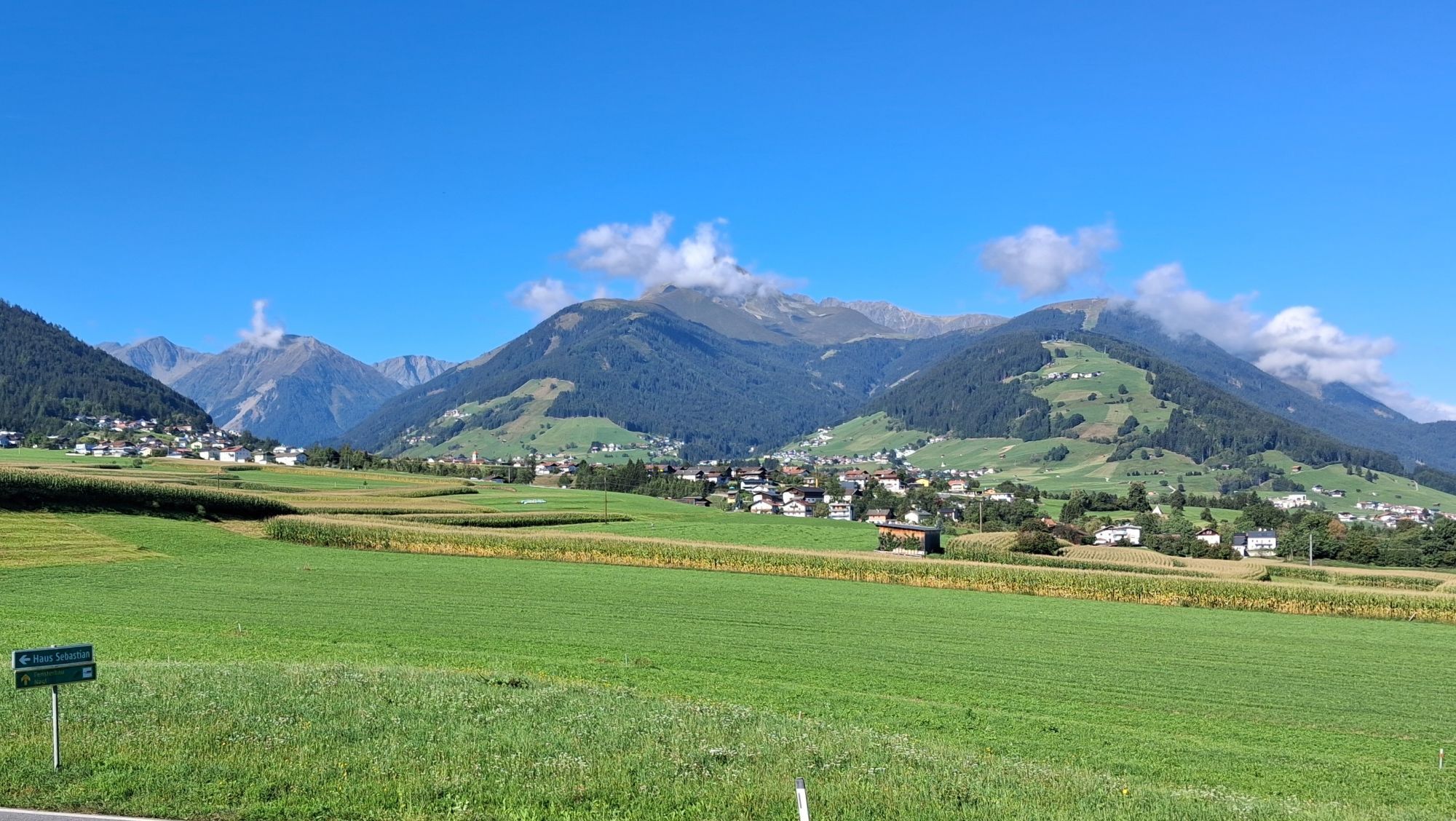


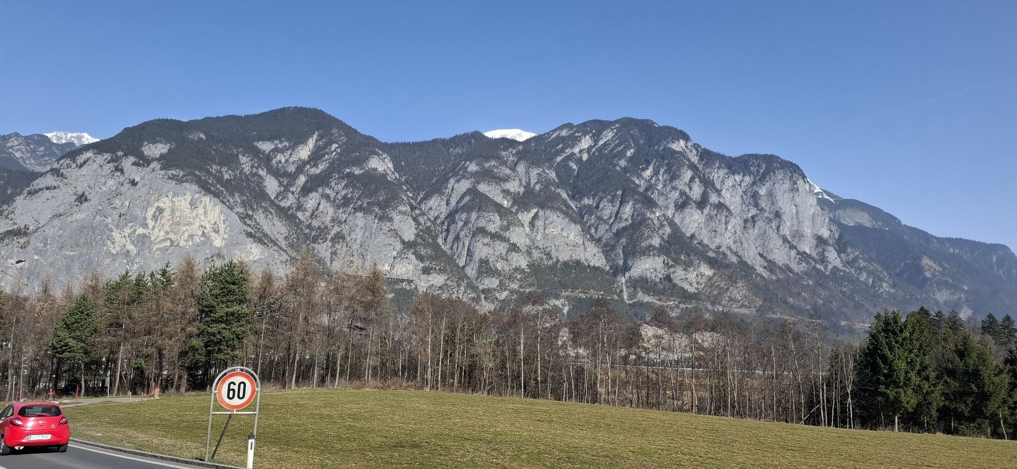


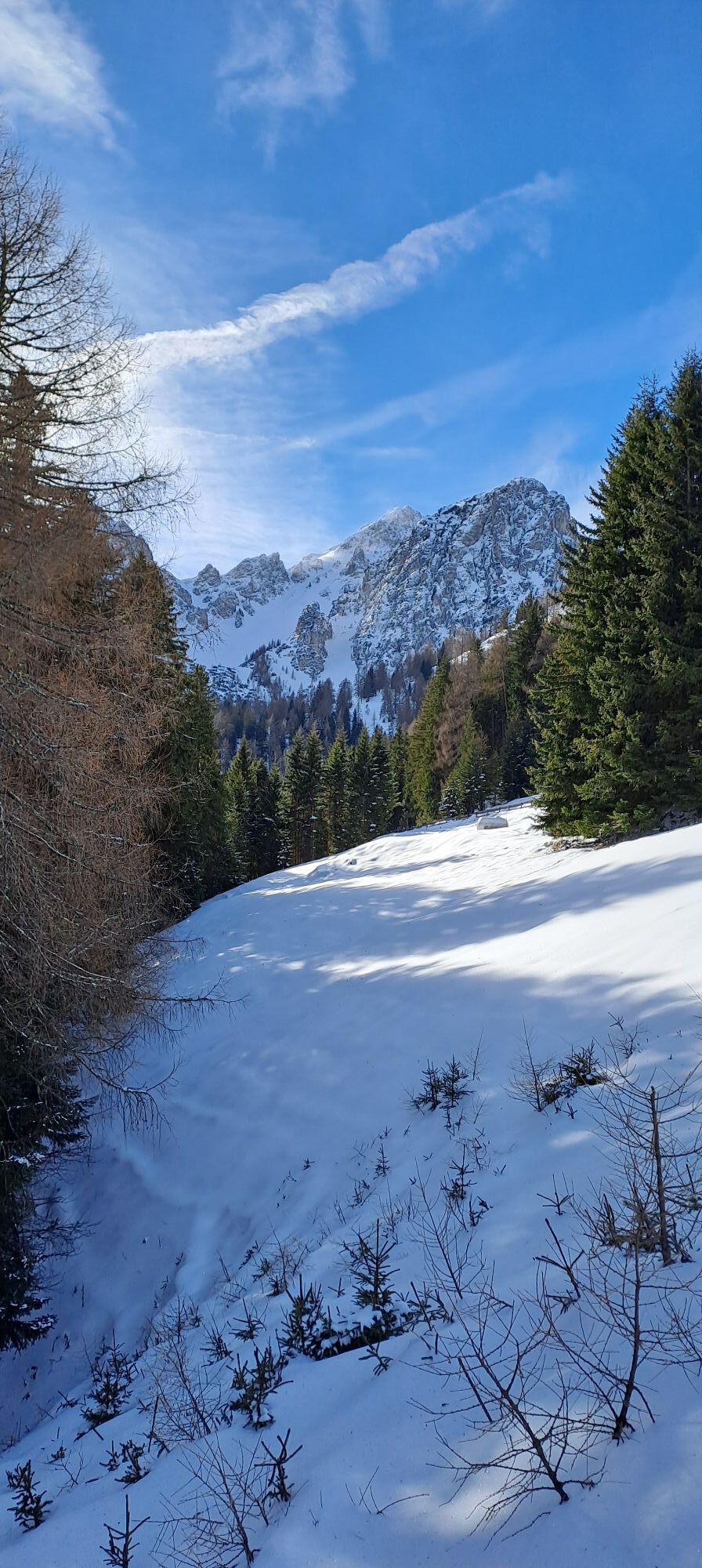
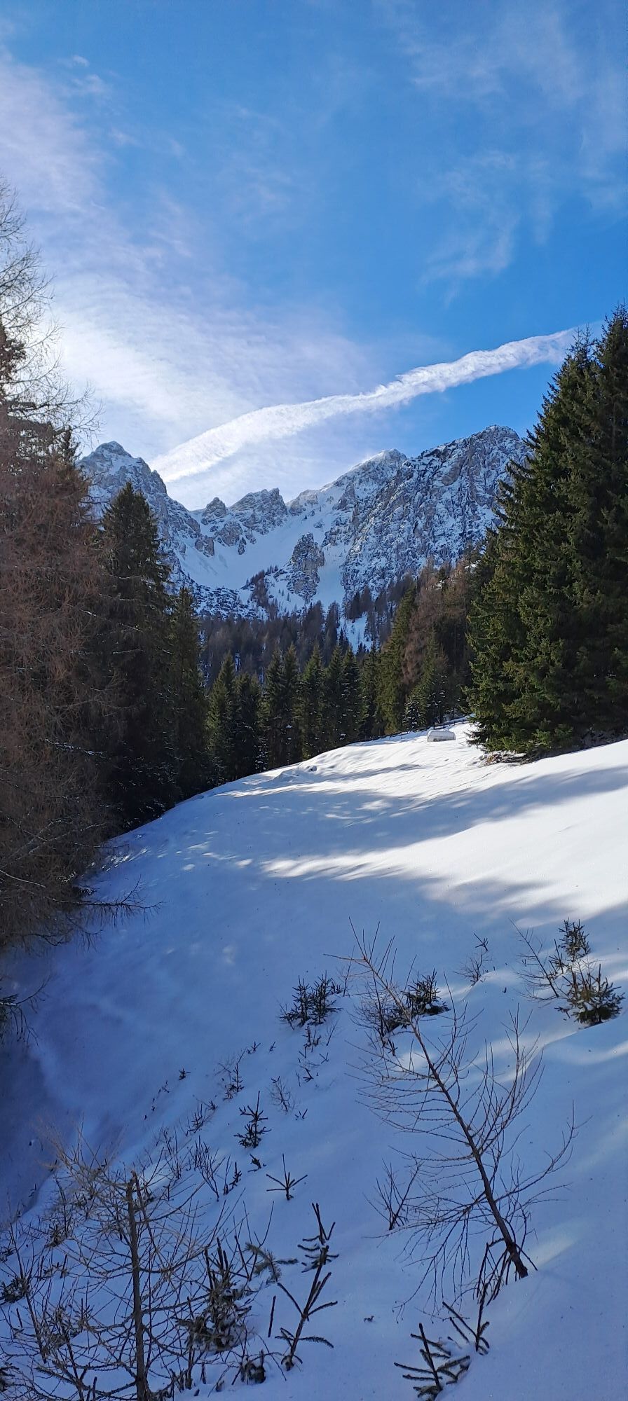
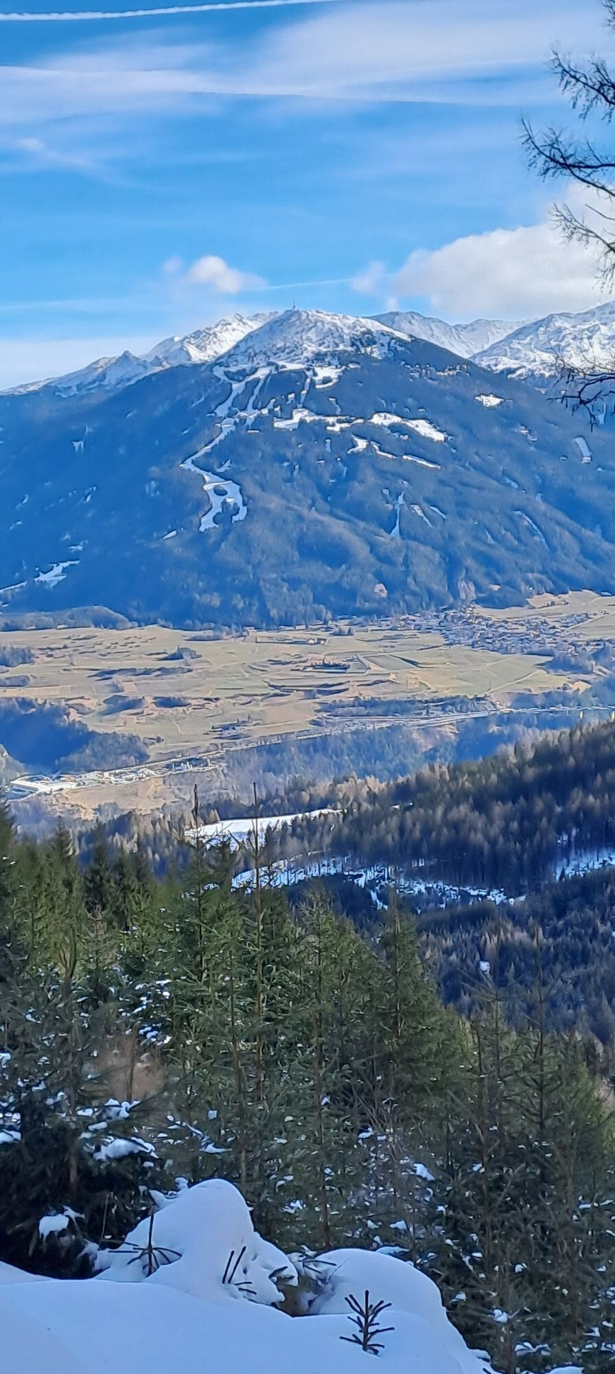


Trasa
Kapelle Nockhof
(1234 m)
Místo konání bohoslužeb
0.5 km
Mutterer Alm Restaurant
(1607 m)
Restaurace
2.1 km
Götzens
(868 m)
Vesnice
6.7 km
Kapelle Nockhof
(1234 m)
Místo konání bohoslužeb
33.2 km
Götzens
(868 m)
Vesnice
50.2 km
Maria-Theresien-Kirchl
(866 m)
Místo konání bohoslužeb
78.1 km
Schützenkapelle
(867 m)
Místo konání bohoslužeb
81.7 km
Trasa
Mutterer alm
střední
Lyžování
89.16
km
Nockhof
(1242 m)
Stanice gondoly
0.5 km
Kapelle Nockhof
(1234 m)
Místo konání bohoslužeb
0.5 km
Mutterer Alm Restaurant
(1607 m)
Restaurace
2.1 km
Bergstation Muttereralmbahn
(1620 m)
Stanice gondoly
2.1 km
Mutterer Alm
(1601 m)
Koridor/terén
2.2 km
Bergstation Pfriemesköpfl
(1800 m)
Stanice gondoly
3.1 km
Auf an Sprung-Bar
(891 m)
Restaurace
6.6 km
Götzens
(868 m)
Vesnice
6.7 km
Talstation Nockspitzbahn
(897 m)
Stanice gondoly
6.7 km
Bergstation Pfriemesköpfl
(1800 m)
Stanice gondoly
9.7 km
Bergstation Muttereralmbahn
(1620 m)
Stanice gondoly
14.6 km
Mutterer Alm Restaurant
(1607 m)
Restaurace
14.6 km
Bergstation Pfriemesköpfl
(1800 m)
Stanice gondoly
15.5 km
Bergstation Pfriemesköpfl
(1800 m)
Stanice gondoly
27.8 km
Bergstation Muttereralmbahn
(1620 m)
Stanice gondoly
28.7 km
Mutterer Alm Restaurant
(1607 m)
Restaurace
28.7 km
Talstation Muttereralmbahn
(897 m)
Stanice gondoly
32.0 km
Nockhof
(1242 m)
Stanice gondoly
33.2 km
Kapelle Nockhof
(1234 m)
Místo konání bohoslužeb
33.2 km
Mutterer Alm
(1601 m)
Koridor/terén
34.9 km
Bergstation Muttereralmbahn
(1620 m)
Stanice gondoly
34.9 km
Mutterer Alm Restaurant
(1607 m)
Restaurace
34.9 km
Bergstation Pfriemesköpfl
(1800 m)
Stanice gondoly
35.9 km
Bergstation Muttereralmbahn
(1620 m)
Stanice gondoly
45.2 km
Mutterer Alm Restaurant
(1607 m)
Restaurace
45.2 km
Bergstation Pfriemesköpfl
(1800 m)
Stanice gondoly
46.3 km
Auf an Sprung-Bar
(891 m)
Restaurace
50.1 km
Götzens
(868 m)
Vesnice
50.2 km
Talstation Nockspitzbahn
(897 m)
Stanice gondoly
50.2 km
Bergstation Pfriemesköpfl
(1800 m)
Stanice gondoly
53.2 km
Auf an Sprung-Bar
(891 m)
Restaurace
57.1 km
Talstation Nockspitzbahn
(897 m)
Stanice gondoly
57.1 km
Götzens
(868 m)
Vesnice
57.1 km
Auf an Sprung-Bar
(891 m)
Restaurace
63.9 km
Götzens
(868 m)
Vesnice
63.9 km
Talstation Nockspitzbahn
(897 m)
Stanice gondoly
63.9 km
Bergstation Muttereralmbahn
(1620 m)
Stanice gondoly
68.0 km
Mutterer Alm Restaurant
(1607 m)
Restaurace
68.0 km
Talstation Muttereralmbahn
(897 m)
Stanice gondoly
71.3 km
Mutters
(830 m)
Vesnice
72.7 km
Neu Götzens
(870 m)
Vesnice
75.9 km
Gruberwirt
(866 m)
Restaurace
76.8 km
Götzens
(868 m)
Vesnice
77.9 km
Maria-Theresien-Kirchl
(866 m)
Místo konání bohoslužeb
78.1 km
Birgitz
(859 m)
Vesnice
78.8 km
Pfarrkirche Birgitz
(859 m)
Místo konání bohoslužeb
78.9 km
Thai Asia
(859 m)
Restaurace
79.9 km
Axams
(874 m)
Vesnice
80.7 km
Hahns Kapelle
(887 m)
Místo konání bohoslužeb
81.2 km
Schützenkapelle
(867 m)
Místo konání bohoslužeb
81.7 km
Omes
(770 m)
Vesnice
83.2 km
Wollbell-Kapelle
(777 m)
Místo konání bohoslužeb
83.3 km
Gstoagkapelle
(651 m)
Místo konání bohoslužeb
85.0 km
Kreuzkapelle
(638 m)
Místo konání bohoslužeb
85.0 km
Kengelscheiben
(812 m)
Vypořádání
88.4 km
Oberperfuss
(812 m)
Vesnice
88.4 km
Aigen
(822 m)
Vypořádání
88.9 km


Oceňování

Webové kamery z prohlídky
-
Hoadl-Haus
-
Mutterer Alm
-
Innsbruck - Adlers Hotel
-
Innsbruck - Flughafen
-
Oberperfuss - Mittelstation
-
UNI Innsbruck
-
Innsbruck - Markthalle
-
Karleiten
-
UNI Innsbruck West
-
Axamer Lizum - Birgitzköpfl
-
Axamer Lizum - Hoadl
-
Hoadl-Haus
-
Hoadl-Haus
-
Hoadl-Haus
-
Hoadl-Haus
-
Hoadl-Haus
-
Karleiten
-
Karleiten
-
Karleiten
-
Karleiten
-
Patscherkofelbahn Talstation
-
Karleiten
-
Mutterer Alm
-
Rangger Köpfl / Oberperfuss
-
Rangger Köpfl / Oberperfuss
-
Bergstation Peter Anich Bahn
-
Rangger Köpfl / Oberperfuss
-
Rangger Köpfl / Oberperfuss
-
Mutterer Alm
-
Mutterer Alm

Všechny webové kamery na mapě
Nainstaluj si aplikaci zdarma a porovnej si živé záběry z několika míst, než vyrazíš.
Využijte nyní službu „ bergfex “ v aplikaci
Naskenuj QR kód pomocí fotoaparátu
Jakmile je aplikace nainstalována, obsah se otevře přímo. Pokud aplikaci ještě nemáš, budeš přesměrován na stránku, kde si ji můžeš zdarma stáhnout.
Aktivity na trase
-

Mutters, Österreich
15.03.2026 – Lyžování -

Götzens, Ausztria
28.02.2026 – Lyžování -

Götzens, Österreich
20.02.2026 – Lyžování -

Mutters, Österreich
15.02.2026 – Lyžování -

Mutters, Tirol/Österreich
14.02.2026 – Lyžování -

Mutters, Austria
06.02.2026 – Snowboard -
Mutters, Österreich
06.02.2026 – Lyžování -
Götzens, Österreich
05.02.2026 – Lyžování -
Mutters, Österreich
05.02.2026 – Lyžování -
Götzens, Österreich
04.02.2026 – Lyžování -
Götzens, Österreich
01.02.2026 – Lyžování -
Mutters, Österreich
01.02.2026 – Snowboard -
Natters, Österreich
30.01.2026 – Lyžování -
Mutters, Österreich
30.01.2026 – Lyžování -
Götzens, Österreich
18.01.2026 – Lyžování -
Natters, Österreich
18.01.2026 – Lyžování -
Natters, Österreich
17.01.2026 – Lyžování -
Mutters, Österreich
14.01.2026 – Lyžování -
Götzens, Tirol/Österreich
11.01.2026 – Lyžování -

Natters, Österreich
11.01.2026 – Lyžování
Oblíbené prohlídky v okolí
-
4.9
Hochtennbodensteig - Axamer Lizum
středníTuristika 6.42 km -
4.8
Axamer Lizum zum Halsl und weiter zur Saile/Nockspitze
středníTuristika 3.85 km -
4.9
Patscherkofel Gipfelrunde mit Zirbenweg
světloTuristika 6.52 km -
4.4
"Königstour" über die Gipfel
Turistika 4.52 km -
4.8
Seegrube - Hungerburg
středníTuristika 5.04 km -
4.7
Innsbruck, Götheweg Kar - Pfeishütte - retour
středníTuristika 11.0 km -
4.6
Patscherkofl
středníTuristika 18.5 km -
4.4
Hundstalsee
středníTuristika 7.35 km -
4.6
Axams Hoadlgipfl, Tirol/Österreich
světloLyžařská trasa 4.04 km -
4.5
Von der Kemater Alm zum Sonntagsköpfl
světloTuristika 9.20 km
Pěší turistika a stopování

Více než 550.000 návrhů výletů, podrobné mapy a intuitivní plánovač tras dělají z aplikace nezbytnou výbavu pro všechny milovníky přírody.

Nenechte si ujít nabídky a inspiraci pro vaši příští dovolenou
Přihlaste se k odběru newsletteru
Chyba
Došlo k chybě. Zkuste to prosím znovu.
Děkujeme za vaši registraci
Vaše e-mailová adresa byl přidán do poštovního seznamu.
Zájezdy po celé Evropě
Rakousko
Švýcarsko
Německo
Itálie
Slovenia
Francie
Nizozemsko
Belgie
Polsko
Lichtenštejnsko
Česko
Slovensko
Španělsko
Chorvatsko
Bosna a Hercegovina
Lucembursko
Andorra
Portugal
Iceland
United Kingdom
Ireland
Greece
Albania
North Macedonia
Malta
Norway
Montenegro
Moldova
Kosovo
Hungary
San Marino
Romania
Estonia
Latvia
Belarus
Cyprus
Lithuania
Serbia
Bulgaria
Monaco
Denmark
Sweden
Finland


