Navigace na stránkách
Pořiďte si tuto prohlídku do mobilního telefonu
Mapa
2026_Rad-Marathon Tannheimer Tal_214 km

heavy
Silniční kolo
213.54 km
Naskenujte QR kód a spusťte navigaci v aplikaci bergfex.
QR Code
Pěší turistika a stopování

2026_Rad-Marathon Tannheimer Tal_214 km

Vzdálenost
213.5 km
Doba trvání
10:00 h
Ascent
2911 hm
Hladina moře
529 - 1675 m

Úroveň obtížnosti: 5
Stažení skladby
Mapa
2026_Rad-Marathon Tannheimer Tal_214 km
heavy
Silniční kolo
213.54 km

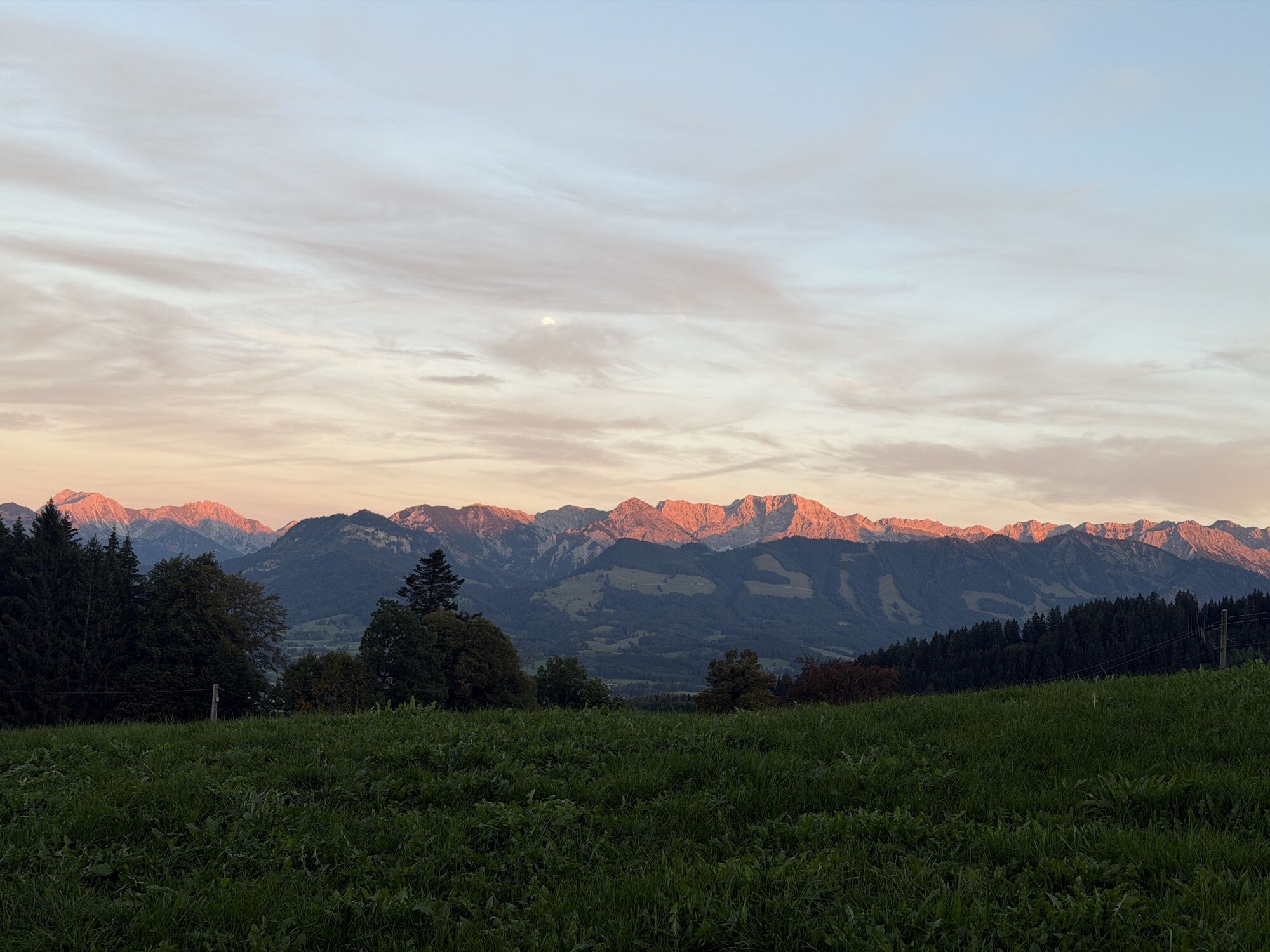
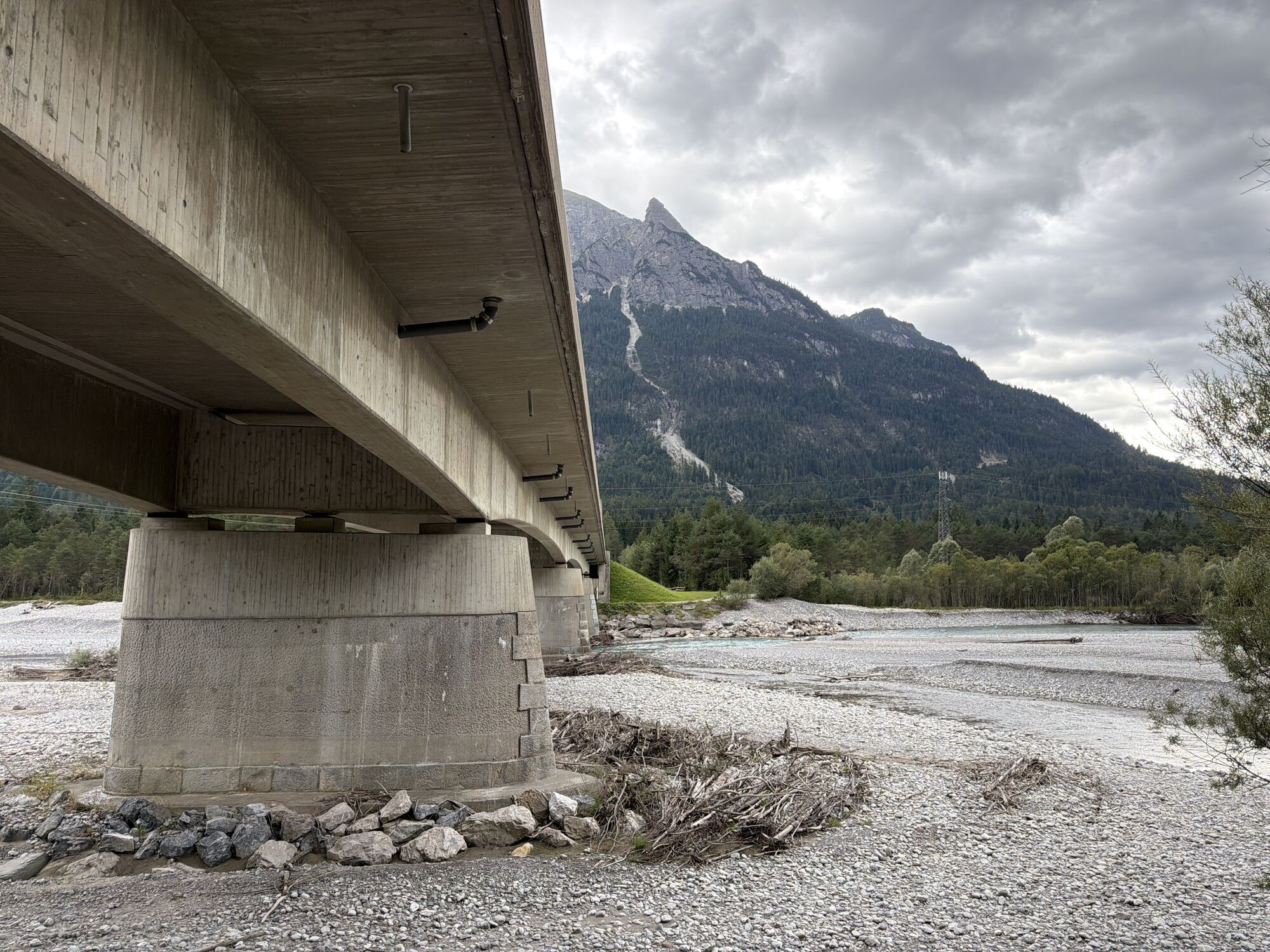
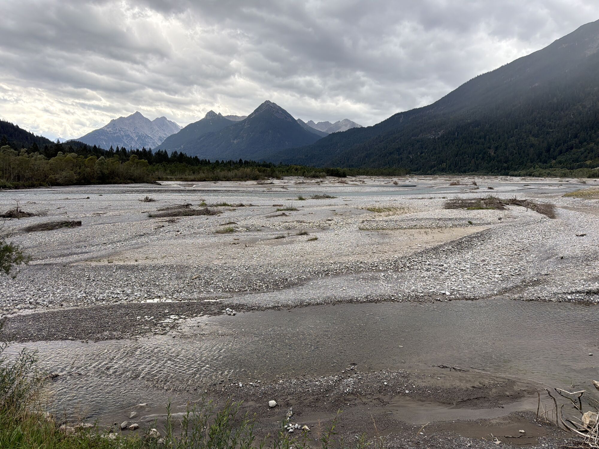
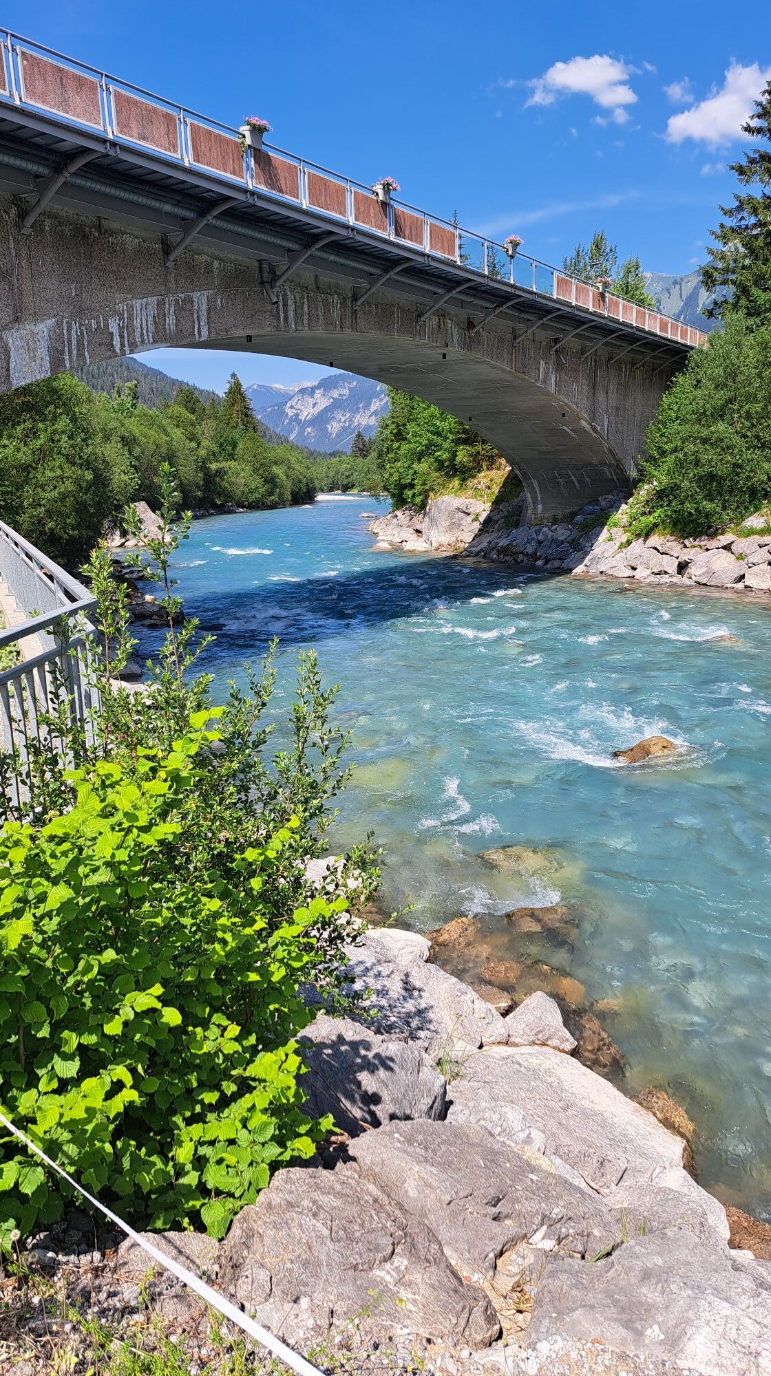
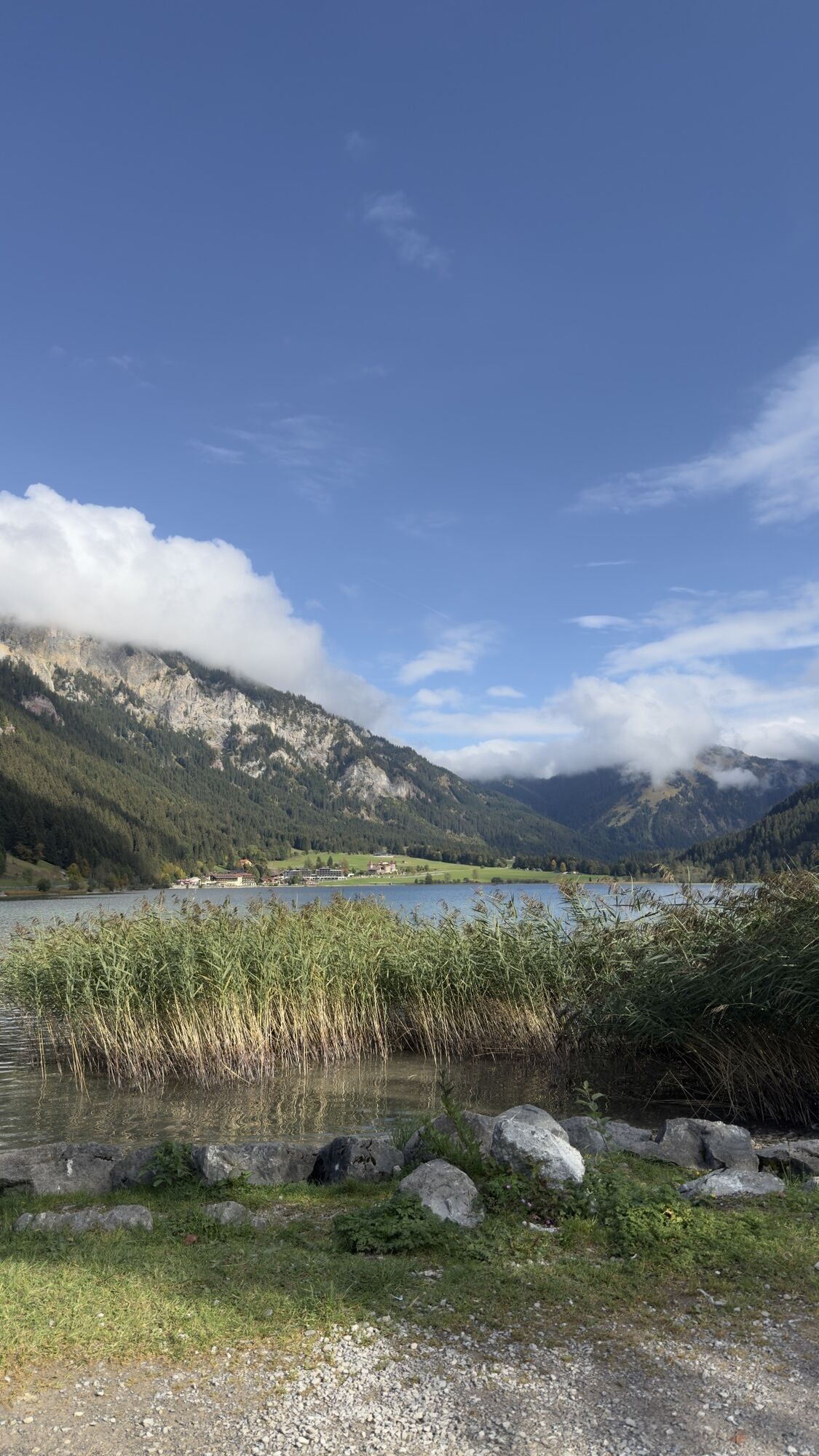
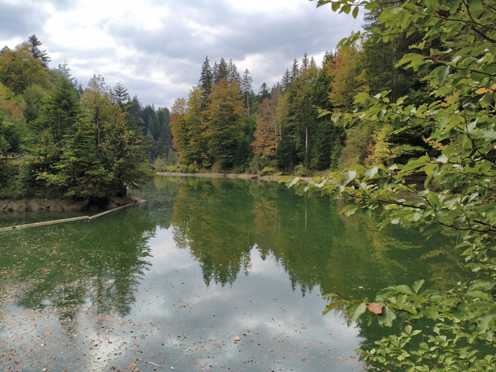
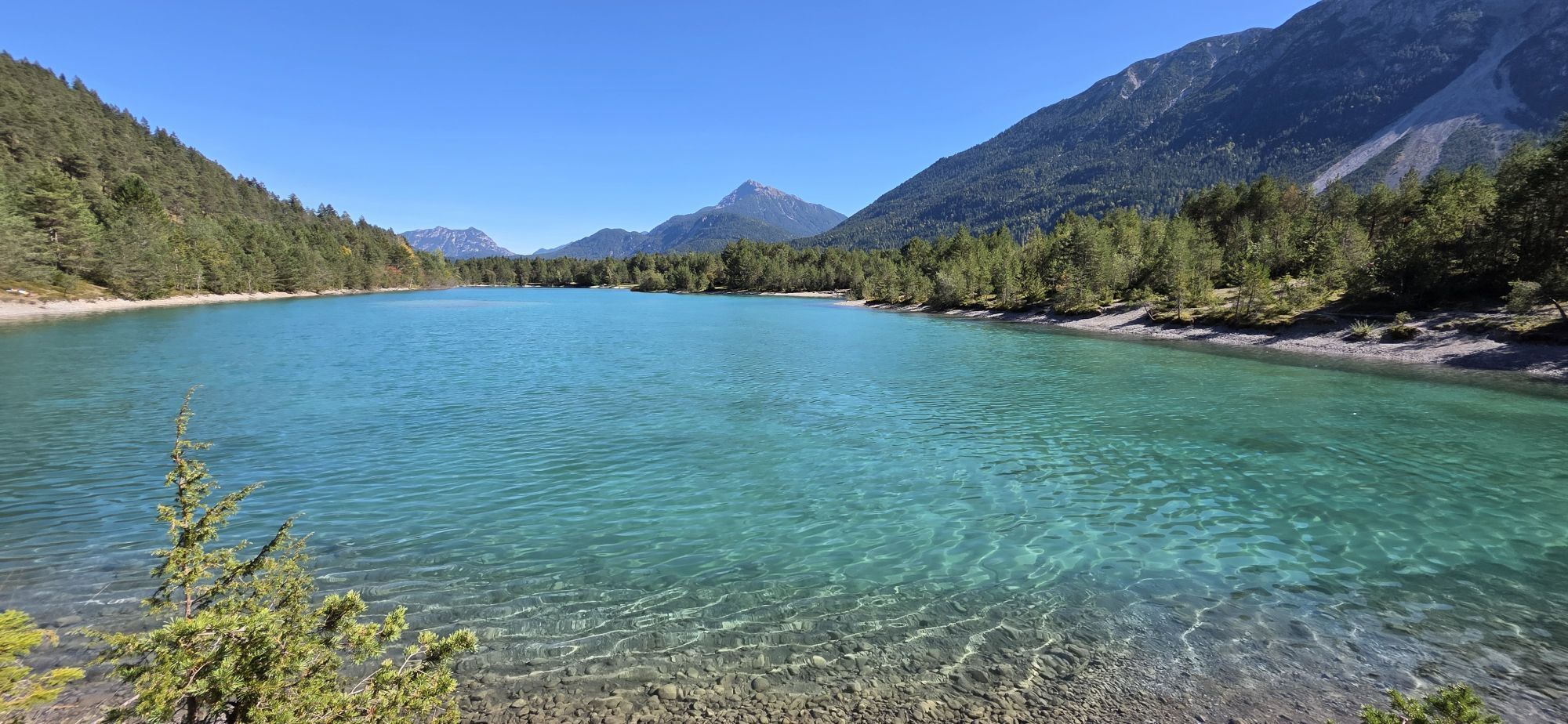
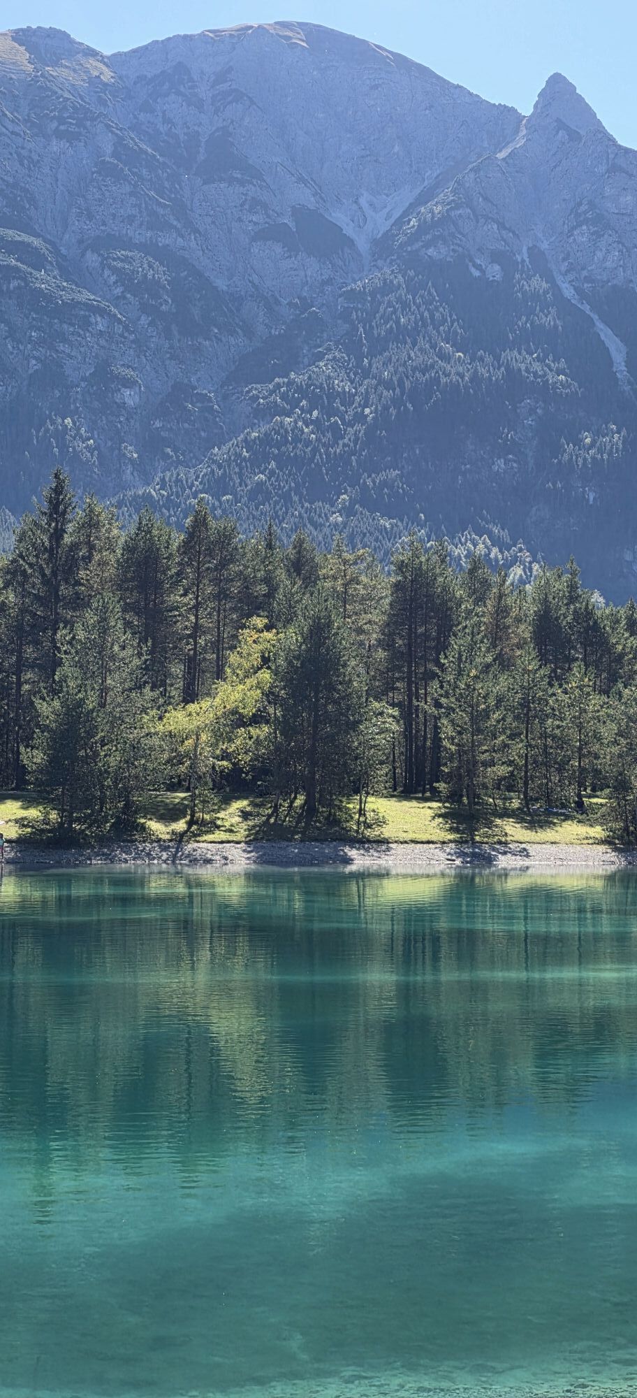
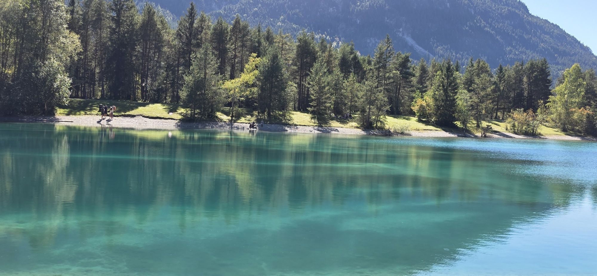
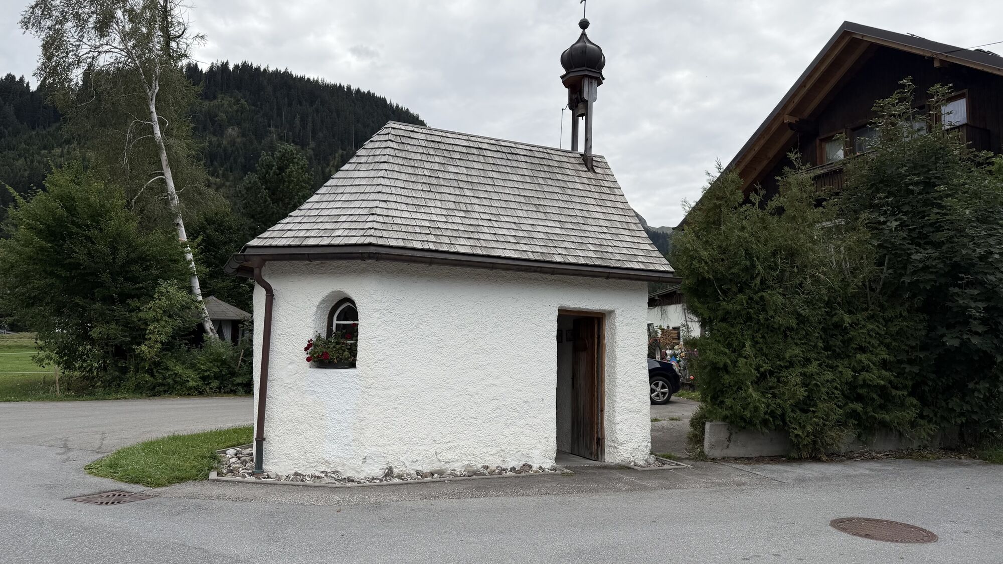
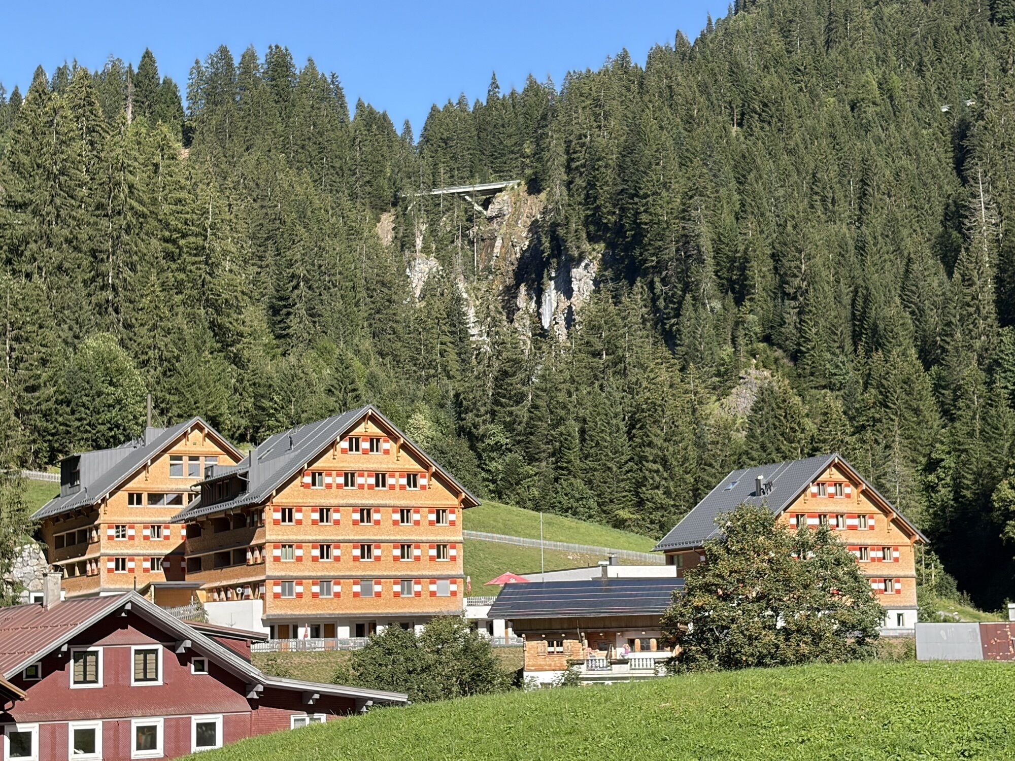
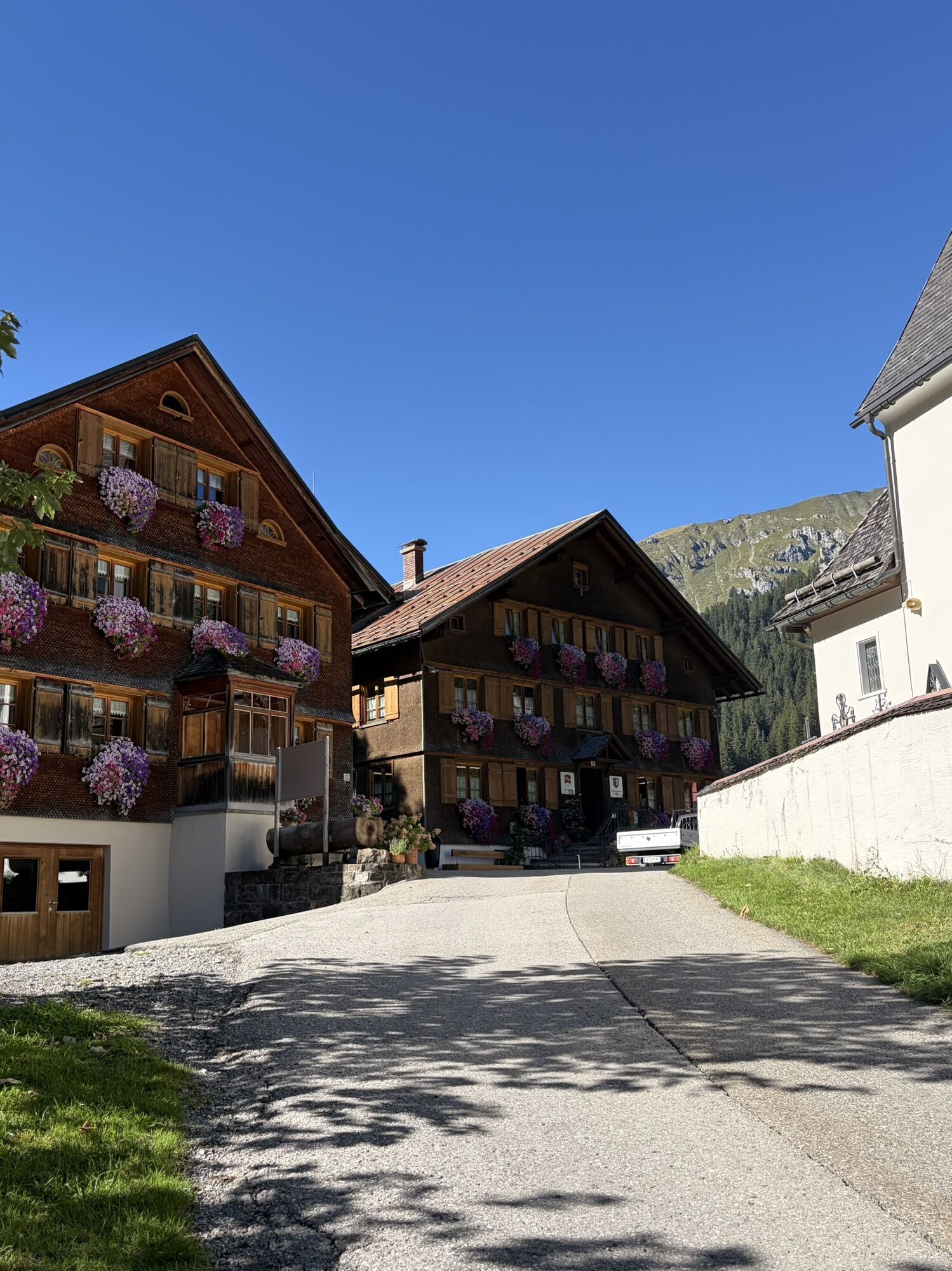
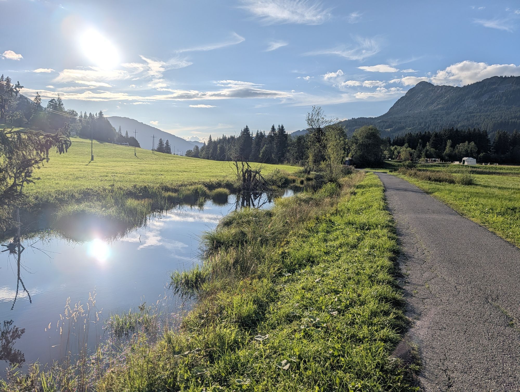
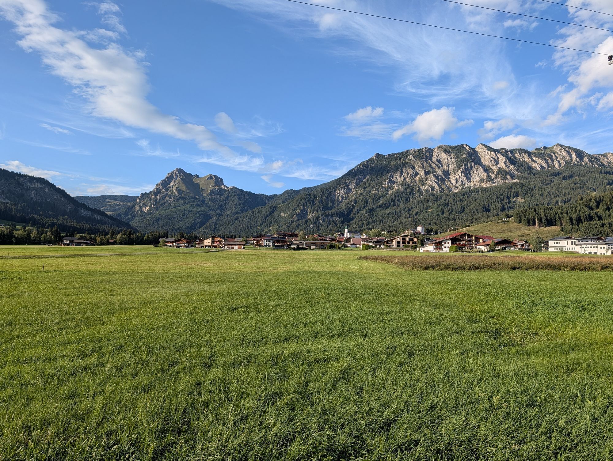
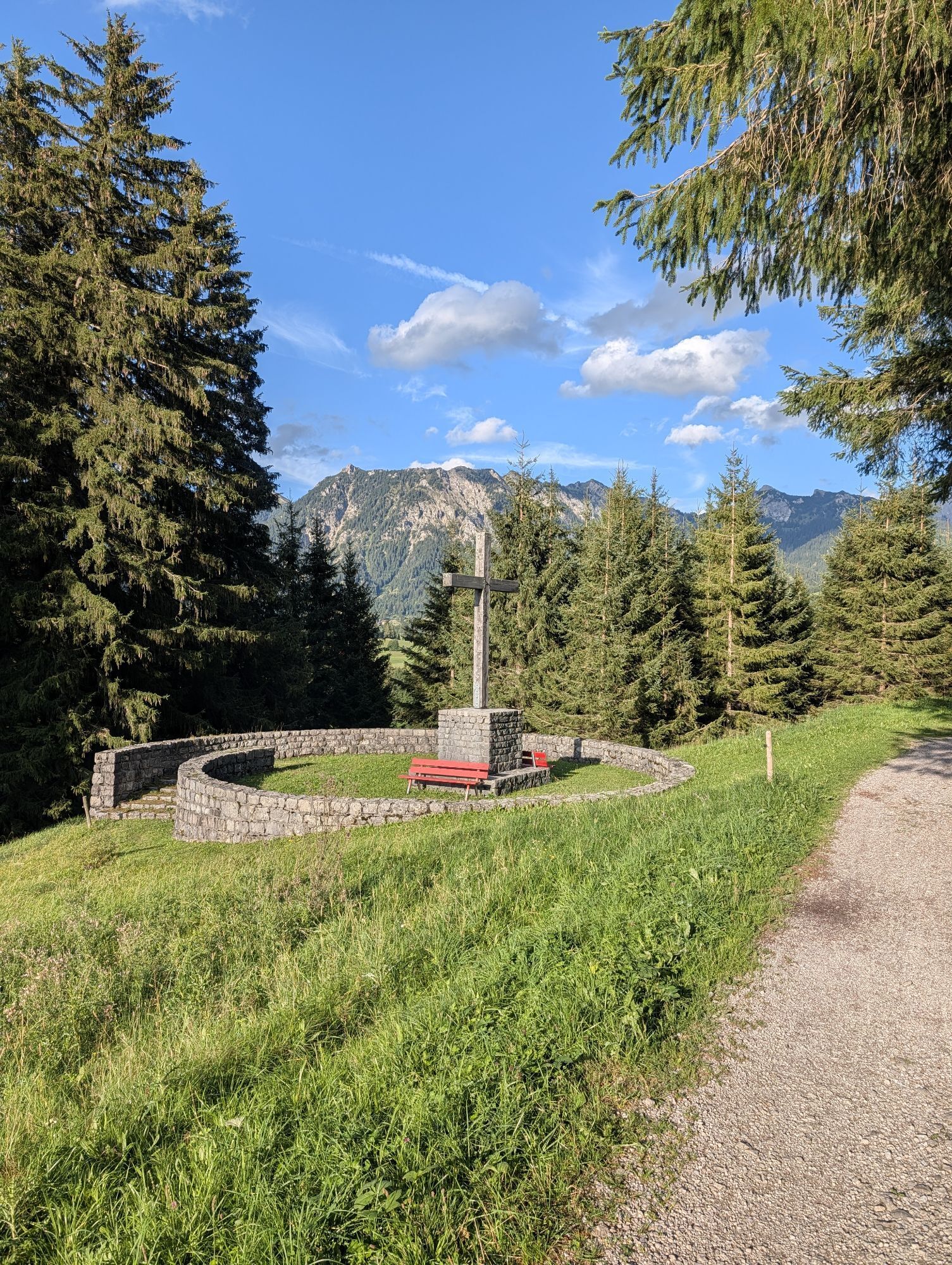
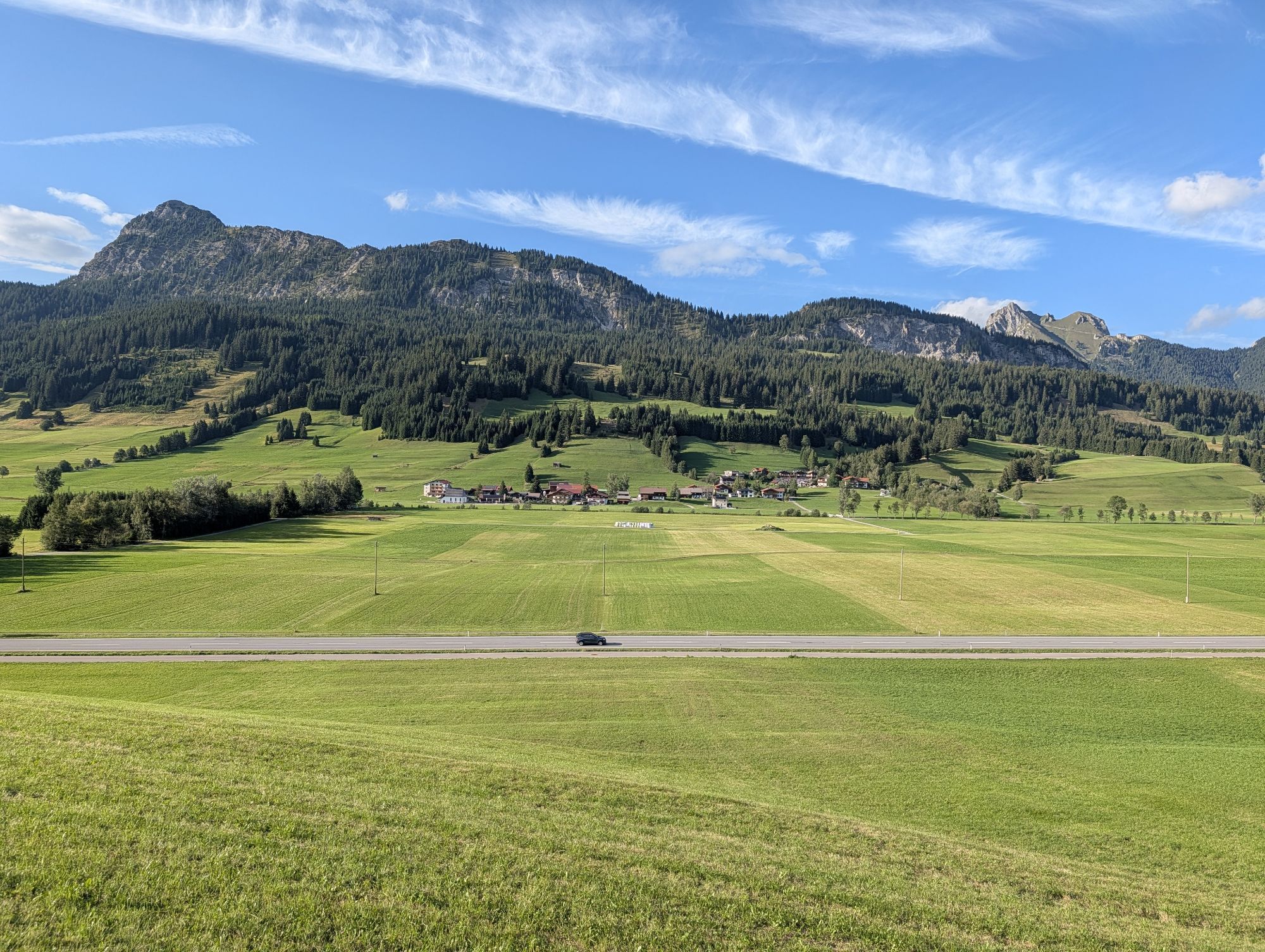
Fotografie našich uživatelů

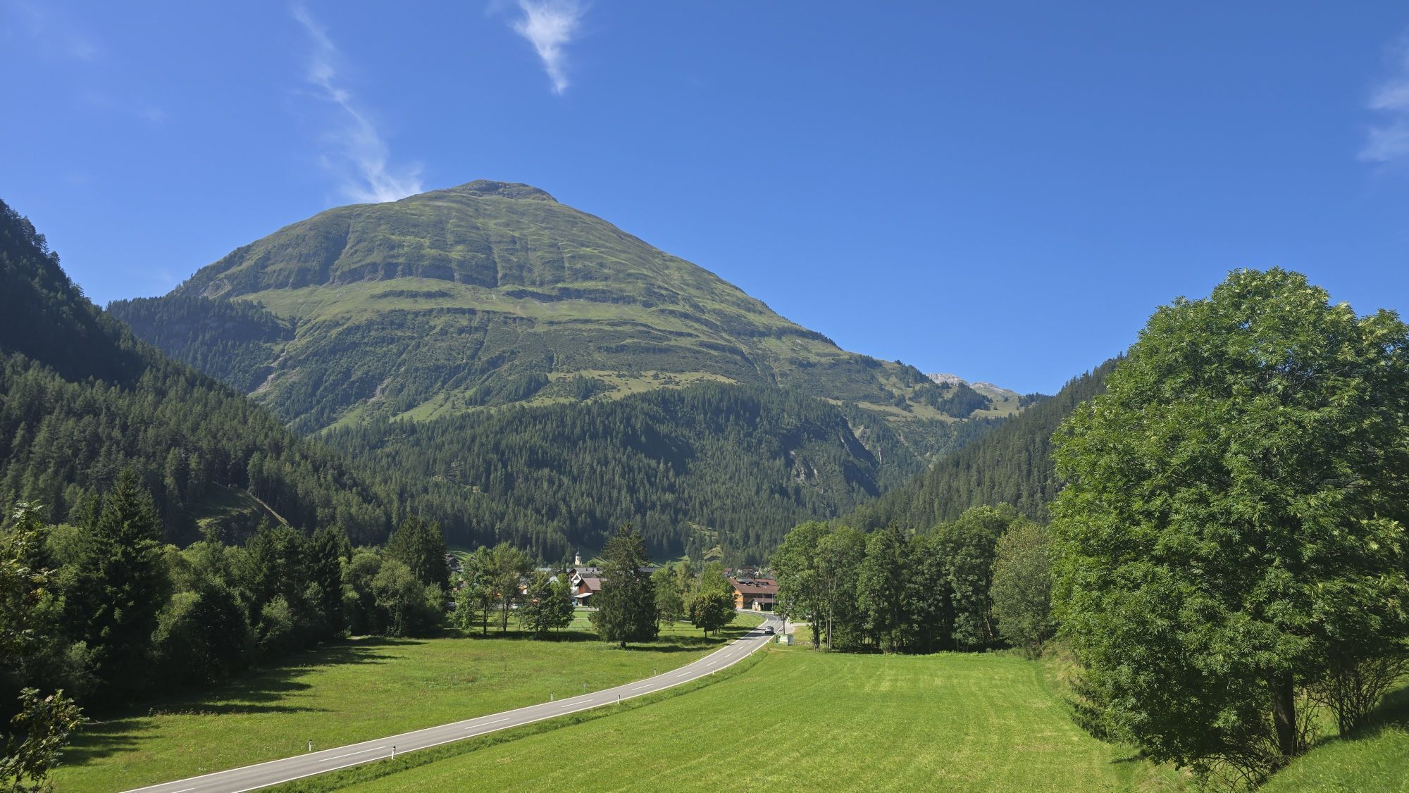
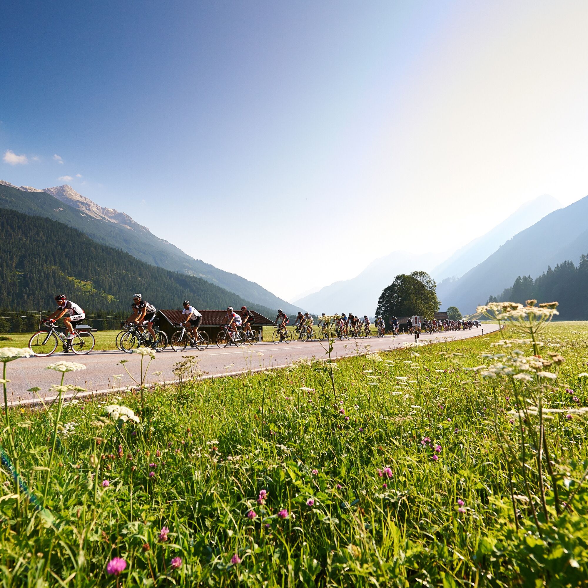
"The RAD-MARATHON leads over Oberjoch, Wertach, Kranzegg to Rettenberg and further to Immenstadt. From there the first bigger ascent leads to Gunzesried and the descent towards Bihlerdorf. Then over Hörnerdorf...

Popis

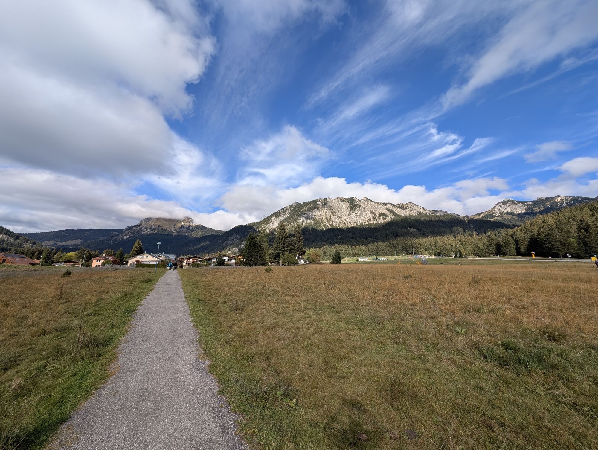
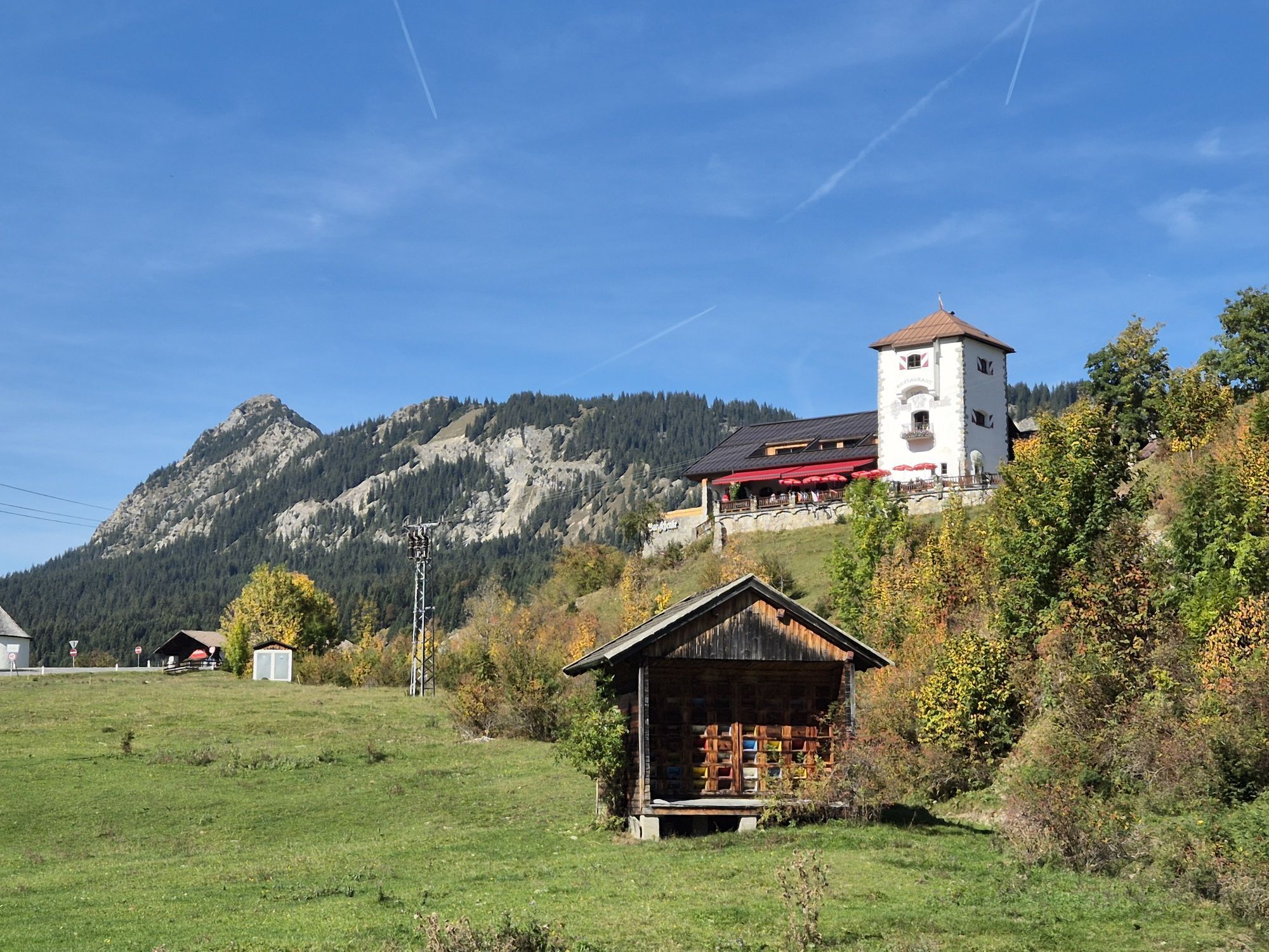
"The RAD-MARATHON leads over Oberjoch, Wertach, Kranzegg to Rettenberg and further to Immenstadt. From there the first bigger ascent leads to Gunzesried and the descent towards Bihlerdorf. Then over Hörnerdorf to Ofterschwang and Obermaiselstein to the Riedberg Pass," announces race director Michael Keller. There the highest pass in Germany is crossed. At 1,407 meters and a maximum gradient of 16 percent, it is the most difficult part of the route. "The Riedberg Pass is already a demanding section, as with a length of 8.7 kilometers and 620 meters of elevation gain it is tough. From Obermaiselstein the road is very steep and winding – a real mountain pass road. That makes it a real challenge," Keller knows. After that follows a long descent through Balderschwang into the Bregenzerwald. A tough climb after Müselbach, where the L200 is then reached. Followed by a short descent to Egg, where the route turns right in the town center and leads in rolling terrain towards Schwarzenberg. Then a moderate descent before the next ascent begins – so to speak into high mountains. "Overall 36 kilometers of continuous ascent from Bersbuch, with the final climb to the Hochtannberg Pass being over 13 kilometers and 900 meters vertical with a maximum of 14 percent. Here it becomes clear who has good fitness," says race director Keller. The route then leads downhill over Warth into the Lech Valley and from there with minimal gradient but often strong headwind to Weißenbach, where after 198 kilometers the Gaicht Pass poses the day's last hurdle. Before the finish in the Tannheimer Tal, the 4.4 km long pass road with 220 meters of elevation and an average gradient of 5% must be overcome. "The 214-kilometer route is really demanding but also scenically beautiful," confirm the former pro cyclists Marcel Wüst and Gerrit Glomser, who have been regular guests at the RAD-MARATHON for years.

Trasa
Wasserscheide Vils/Steinacher Achen
(1145 m)
Horské sedlo
3.5 km
St. Nikolaus
(890 m)
Místo konání bohoslužeb
51.8 km
Riedbergpass
(1406 m)
Horský průsmyk
71.8 km
Pfarrkirche St. Leonhard
(792 m)
Místo konání bohoslužeb
124.3 km
Pfarrkirche St. Sebastian
(1495 m)
Místo konání bohoslužeb
147.2 km
Neue Rautkapelle
(992 m)
Místo konání bohoslužeb
179.3 km
Gaichtpass
(1093 m)
Horský průsmyk
201.2 km
Trasa
Mapa
2026_Rad-Marathon Tannheimer Tal_214 km
heavy
Silniční kolo
213.54 km
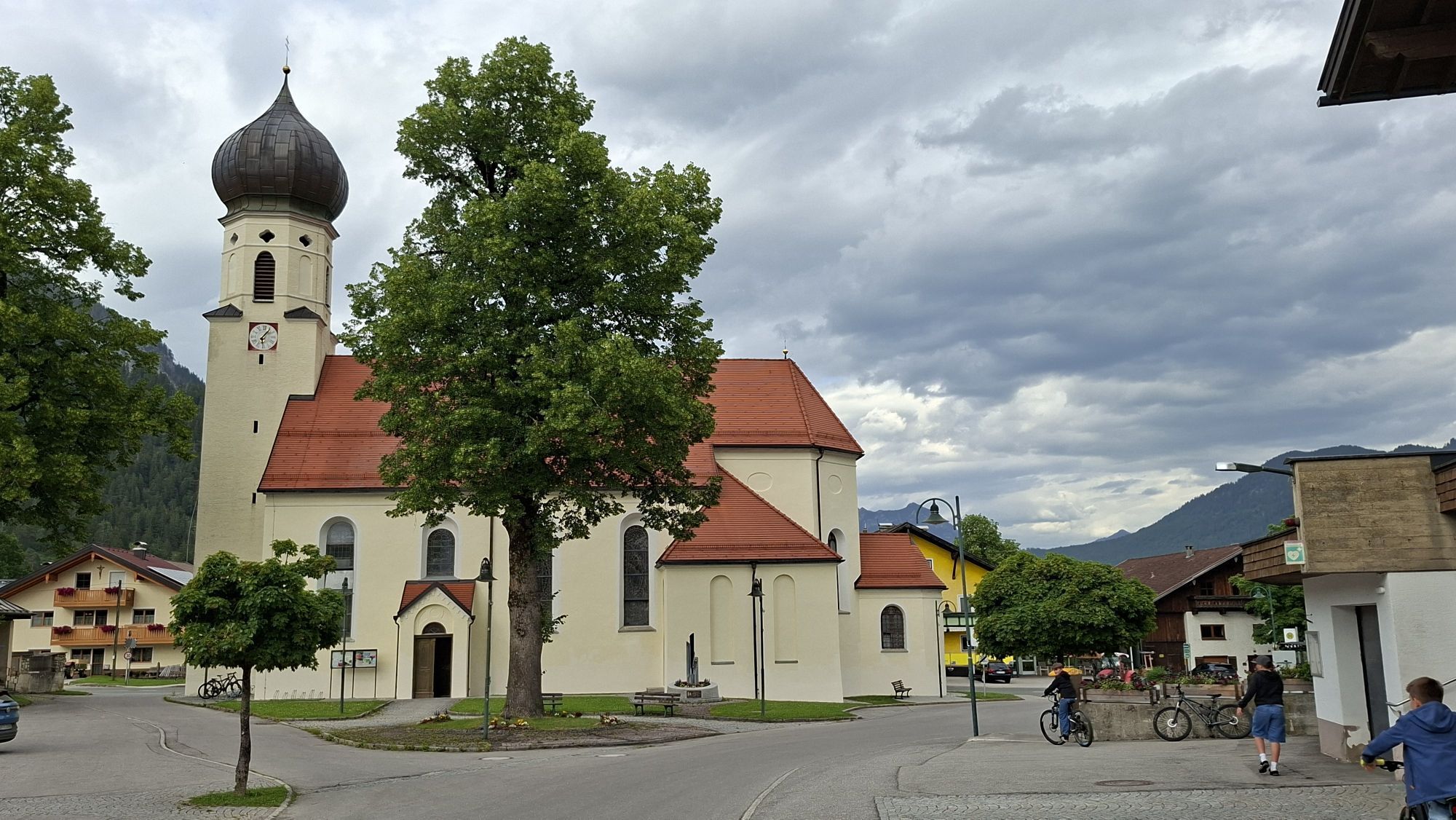
Tannheim
(1097 m)
Vesnice
0.0 km
St. Martin
(1097 m)
Místo konání bohoslužeb
1.1 km
Innergschwend
(1100 m)
Vypořádání
1.3 km
Wasserscheide Vils/Steinacher Achen
(1145 m)
Horské sedlo
3.5 km
Lumberg
(1156 m)
Vesnice
3.6 km
St. Nepomuk-Kapelle
(1155 m)
Místo konání bohoslužeb
4.0 km
Grän
(1138 m)
Vesnice
4.7 km
St. Wendelin
(1138 m)
Místo konání bohoslužeb
4.8 km
Tannheim
(1097 m)
Vesnice
8.4 km
Neu Kienzen
(1107 m)
Sousedství
8.9 km
Kienzen
(1096 m)
Vypořádání
9.0 km
Zöblen
(1087 m)
Vesnice
11.8 km
Schattwald
(1072 m)
Vesnice
12.9 km
Steig
(1057 m)
Vypořádání
14.0 km
Oberjoch Pass
(1175 m)
Horský průsmyk
15.8 km
Kaminstube
(1145 m)
Restaurace
17.2 km
Oberjoch
(1145 m)
Vesnice
18.5 km
Wasserscheide Wertach/Iller
(1156 m)
Horský průsmyk
18.6 km
Obergschwend
(1056 m)
Vypořádání
21.1 km
Unterjoch
(1017 m)
Vesnice
22.1 km
Mariä Himmelfahrt
(1005 m)
Místo konání bohoslužeb
22.8 km
Enthalb der Ach
(914 m)
Vypořádání
29.0 km
Kranzegg
(856 m)
Vesnice
37.2 km
Marienkapelle
(862 m)
Místo konání bohoslužeb
37.3 km
Kalchenbach
(849 m)
Vesnice
38.9 km
Rettenberg
(807 m)
Vesnice
40.0 km
Brauereigasthof Adler-Post
(809 m)
Restaurace
40.1 km
St. Stephan
(806 m)
Místo konání bohoslužeb
40.3 km
Brauereigasthof Engel
(803 m)
Restaurace
40.4 km
Neumummen
(727 m)
Sousedství
46.6 km
Der Bienenkorb
(720 m)
Restaurace
47.0 km
Altmummen
(729 m)
Vypořádání
47.1 km
Tanne
(769 m)
Vypořádání
47.6 km
Ettensberg
(762 m)
Sousedství
48.0 km
Bildkapelle
(865 m)
Místo konání bohoslužeb
49.1 km
Reute
(929 m)
Vypořádání
50.3 km
Gunzesried
(884 m)
Vesnice
51.8 km
St. Nikolaus
(890 m)
Místo konání bohoslužeb
51.8 km
Halden
(861 m)
Vypořádání
53.2 km
Kühberg
(820 m)
Vypořádání
54.0 km
Seifriedsberg
(756 m)
Sousedství
54.7 km
Bihlerdorf
(732 m)
Sousedství
55.0 km
Oberzollbrücke
(734 m)
Vesnice
56.1 km
Hüttenberg
(804 m)
Vypořádání
57.0 km
St. Matthäus
(803 m)
Místo konání bohoslužeb
57.1 km
Bettenried
(808 m)
Vypořádání
57.7 km
Ofterschwang
(842 m)
Vesnice
59.0 km
Sigiswang
(849 m)
Vesnice
60.7 km
Kierwang
(891 m)
Vesnice
61.9 km
Marienkapelle
(896 m)
Místo konání bohoslužeb
62.2 km
Hornstüble
(883 m)
Restaurace
63.5 km
Bolsterlang
(876 m)
Vesnice
63.6 km
Sonderdorf
(879 m)
Vesnice
64.0 km
Obermaiselstein
(859 m)
Vesnice
65.8 km
Ränkalpe
(1363 m)
Koridor/terén
71.4 km
Riedbergpass
(1406 m)
Horský průsmyk
71.8 km
Schwabenhof
(1072 m)
Restaurace
76.9 km
Au
(1068 m)
Vypořádání
77.6 km
Wäldle
(1066 m)
Vypořádání
78.3 km
Balderschwang
(1044 m)
Vesnice
79.2 km
St. Anton
(1043 m)
Místo konání bohoslužeb
79.4 km
Gschwendlift I
(1052 m)
Stanice gondoly
79.8 km
Gschwend
(1076 m)
Vypořádání
80.3 km
Gschwendlift II
(1062 m)
Stanice gondoly
80.4 km
Schlipfhalden
(1049 m)
Vypořádání
81.6 km
Gerisgschwend
(982 m)
Vypořádání
83.8 km
Kapelle Sippersegg
(994 m)
Místo konání bohoslužeb
84.5 km
Gasthof Hirschen
(789 m)
Restaurace
91.1 km
Pfarrkirche Heilige Drei Könige
(790 m)
Místo konání bohoslužeb
91.1 km
Gasthof Krone
(789 m)
Restaurace
91.1 km
Hittisau
(790 m)
Vesnice
91.2 km
Gasthof Adler
(690 m)
Restaurace
94.5 km
Gasthaus Traube
(686 m)
Restaurace
94.5 km
Lingenau
(685 m)
Vesnice
94.6 km
Pfarrkirche Johannes der Täufer
(684 m)
Místo konání bohoslužeb
94.6 km
Kapelle Heilige Anna auf dem Felde
(669 m)
Místo konání bohoslužeb
95.3 km
St. Anna
(667 m)
Koridor/terén
95.4 km
Müselbach
(585 m)
Vesnice
98.1 km
Melisau
(526 m)
Sousedství
100.9 km
Egg
(545 m)
Vesnice
101.2 km
Pfarrkirche Egg
(561 m)
Místo konání bohoslužeb
101.4 km
Kapelle Wieden
(633 m)
Místo konání bohoslužeb
103.1 km
Kapelle St. Anna
(644 m)
Místo konání bohoslužeb
103.8 km
Adler
(696 m)
Restaurace
105.5 km
Pfarrkirche Schwarzenberg - Heiligste Dreifaltigkeit
(695 m)
Místo konání bohoslužeb
105.5 km
Hotel Gasthof Hirschen Schwarzenberg
(697 m)
Restaurace
105.5 km
Schwarzenberg
(696 m)
Vesnice
105.5 km
Loch
(654 m)
Vypořádání
106.4 km
Ziegler (S-Line Gastronomie)
(637 m)
Restaurace
107.3 km
Reuthe
(646 m)
Vesnice
112.6 km
Klaus
(675 m)
Sousedství
113.9 km
In der Mellen
(673 m)
Sousedství
114.5 km
Zimmerau
(683 m)
Sousedství
114.7 km
Hirschlitten
(745 m)
Sousedství
115.3 km
Platz
(688 m)
Sousedství
115.3 km
Tempel
(694 m)
Sousedství
115.3 km
Mellau
(688 m)
Vesnice
115.4 km
Achsiedlung
(685 m)
Sousedství
115.6 km
Mischen
(697 m)
Sousedství
116.0 km
Brand
(697 m)
Sousedství
116.8 km
Hirschau
(712 m)
Vesnice
118.0 km
Schnepfau
(734 m)
Vesnice
120.2 km
Gartenwirtschaft Fischteich Au
(767 m)
Restaurace
123.0 km
Jaghausen
(786 m)
Vypořádání
124.1 km
Pfarrkirche St. Leonhard
(792 m)
Místo konání bohoslužeb
124.3 km
Au
(800 m)
Vesnice
124.4 km
Schrecken
(793 m)
Vypořádání
124.9 km
Restaurant Hotel Hubertus
(795 m)
Restaurace
124.9 km
Erlebnisgasthof Ur-Alp
(795 m)
Restaurace
125.0 km
Neugrund
(800 m)
Vypořádání
125.3 km
Hotel Restaurant Schiff
(813 m)
Restaurace
125.5 km
Neudorf
(813 m)
Vypořádání
125.5 km
Lugen
(815 m)
Vypořádání
125.6 km
Rehmen
(816 m)
Vesnice
125.6 km
Schoppernau
(852 m)
Vesnice
127.5 km
Hotel Gasthof Adler
(843 m)
Restaurace
127.9 km
Wirtshaus zum Gämsle
(856 m)
Restaurace
128.3 km
Vorder Hopfreben
(974 m)
Vypořádání
131.5 km
Hinter Hopfreben
(1007 m)
Vypořádání
132.7 km
Landhaus Bad Hopfreben
(1021 m)
Restaurace
132.9 km
Landsteg
(1096 m)
Koridor/terén
135.1 km
Unterboden
(1156 m)
Vypořádání
136.1 km
In der Hölle
(1194 m)
Koridor/terén
136.9 km
Im Heimboden
(1227 m)
Koridor/terén
137.0 km
Tannberg
(1259 m)
Restaurace
137.3 km
Schröcken
(1269 m)
Vesnice
137.4 km
Nesslegg
(1498 m)
Vypořádání
139.9 km
Holzschopf
(1499 m)
Restaurace
139.9 km
Hochkrumbach
(1599 m)
Vypořádání
143.5 km
Pfarrkirche St. Sebastian
(1495 m)
Místo konání bohoslužeb
147.2 km
Warth
(1495 m)
Vesnice
147.4 km
Gehren
(1417 m)
Vypořádání
148.8 km
Prenten
(1157 m)
Vypořádání
156.0 km
Hinterellenbogen
(1159 m)
Vypořádání
156.4 km
Welzau
(1123 m)
Vypořádání
157.2 km
St. Oswald
(1124 m)
Místo konání bohoslužeb
157.6 km
Serble
(1128 m)
Sousedství
157.6 km
Knopplig
(1126 m)
Sousedství
157.6 km
Dickenau
(1115 m)
Sousedství
158.1 km
Steeg
(1124 m)
Vesnice
158.1 km
Hotel Post
(1115 m)
Restaurace
158.3 km
Gasthof Schwarzer Adler
(1109 m)
Restaurace
159.3 km
Friedhofskapelle
(1106 m)
Místo konání bohoslužeb
159.5 km
Sebastian-und-Rochus-Kirche
(1107 m)
Místo konání bohoslužeb
159.6 km
Hägerau
(1107 m)
Vesnice
159.7 km
Hotel Styrolerhof
(1098 m)
Restaurace
160.7 km
Reutleskapelle
(1096 m)
Místo konání bohoslužeb
161.1 km
Dürnau
(1096 m)
Vypořádání
161.3 km
Dreifaltigkeitskapelle
(1082 m)
Místo konání bohoslužeb
163.6 km
Stockach
(1070 m)
Vesnice
165.9 km
Pfarrkirche Stockach
(1070 m)
Místo konání bohoslužeb
165.9 km
Gasthof Alte Schule
(1068 m)
Restaurace
165.9 km
Unterstockach
(1066 m)
Vypořádání
166.8 km
Antoniuskapelle
(1062 m)
Místo konání bohoslužeb
167.4 km
Grüner Baum
(1059 m)
Restaurace
168.2 km
Gasthof Post
(1057 m)
Restaurace
168.2 km
Obergiblen
(1052 m)
Vesnice
168.9 km
Elbigenalp
(1039 m)
Vesnice
171.9 km
Grießau
(1028 m)
Vesnice
174.1 km
Häselgehr
(1006 m)
Vesnice
176.4 km
Pfarrkirche St. Martin
(1006 m)
Místo konání bohoslužeb
176.9 km
Neue Rautkapelle
(992 m)
Místo konání bohoslužeb
179.3 km
Elmen
(976 m)
Vesnice
182.0 km
14-Nothelfer Kapelle
(963 m)
Místo konání bohoslužeb
183.8 km
Stanzach
(940 m)
Vesnice
187.4 km
Gasthaus Post
(939 m)
Restaurace
187.4 km
Pfarrkirche Stanzach
(939 m)
Místo konání bohoslužeb
187.5 km
Blockau
(932 m)
Sousedství
188.2 km
Forchach
(910 m)
Vesnice
192.2 km
Pfarrkirche hl Sebastian
(885 m)
Místo konání bohoslužeb
197.8 km
Weißenbach am Lech
(885 m)
Vesnice
197.8 km
Sommer 3
(885 m)
Restaurace
197.9 km
Pizzeria Dobler
(899 m)
Restaurace
198.4 km
Gaichtpass
(1093 m)
Horský průsmyk
201.2 km
Rauth
(1145 m)
Vesnice
202.6 km
Stegmühlkapelle
(1075 m)
Místo konání bohoslužeb
202.7 km
Gasthof Klausenstüberl
(1078 m)
Restaurace
202.8 km
Mariahilf Kapelle
(1109 m)
Místo konání bohoslužeb
203.8 km
Nesselwängle
(1136 m)
Vesnice
205.3 km
Schmitte
(1139 m)
Sousedství
206.5 km
Schmittekapelle
(1154 m)
Místo konání bohoslužeb
206.6 km
Wasserscheide Vils/Lech
(1146 m)
Horské sedlo
206.7 km
Haller
(1137 m)
Vesnice
207.4 km
St. Johannes
(1135 m)
Místo konání bohoslužeb
207.7 km
Via Salina Hotel am See
(1128 m)
Restaurace
207.8 km
St. Jakobus
(1130 m)
Místo konání bohoslužeb
209.5 km
Haldensee
(1130 m)
Vesnice
209.6 km
Tannheim
(1097 m)
Vesnice
213.4 km
Informace o prohlídce

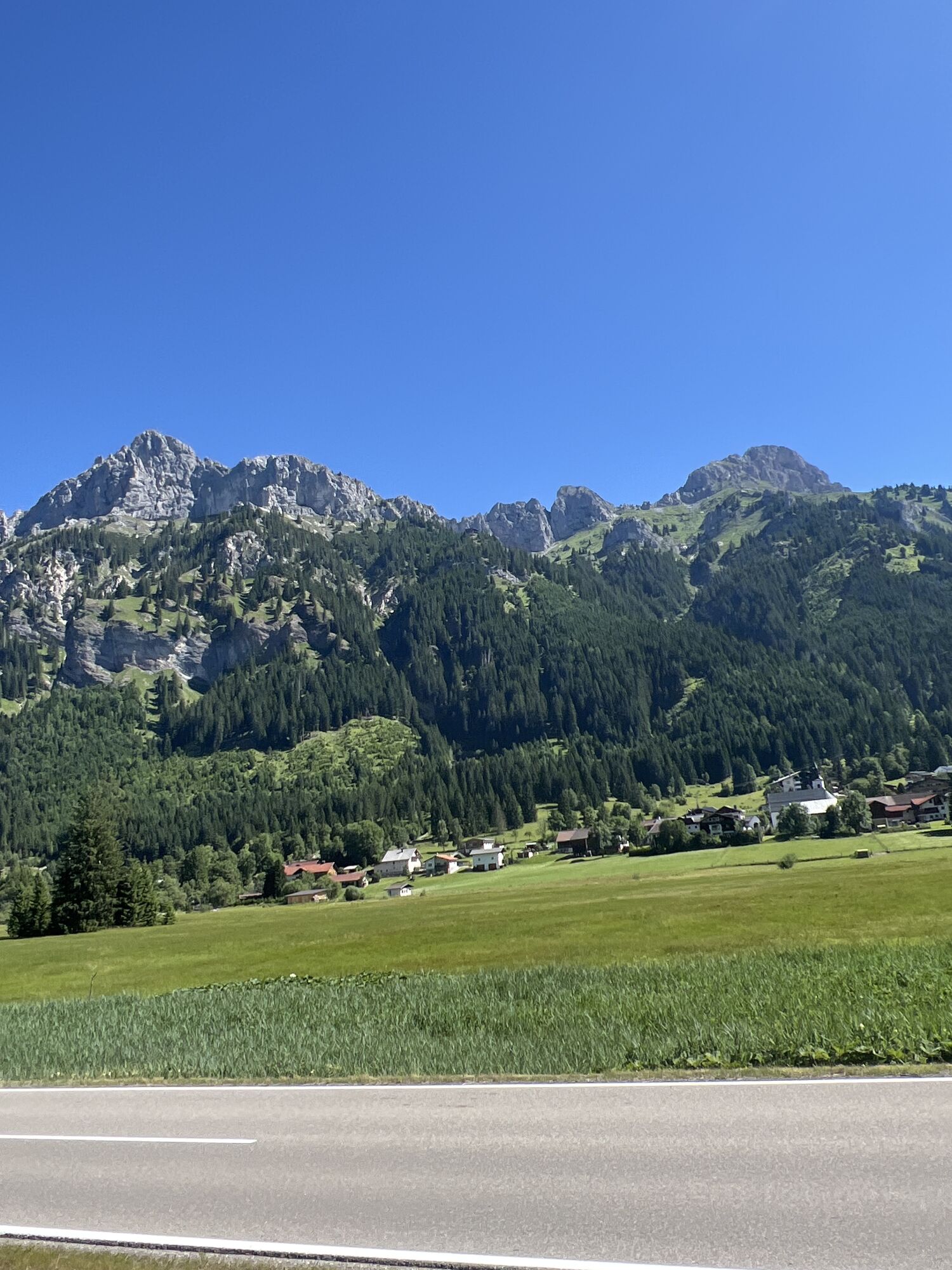
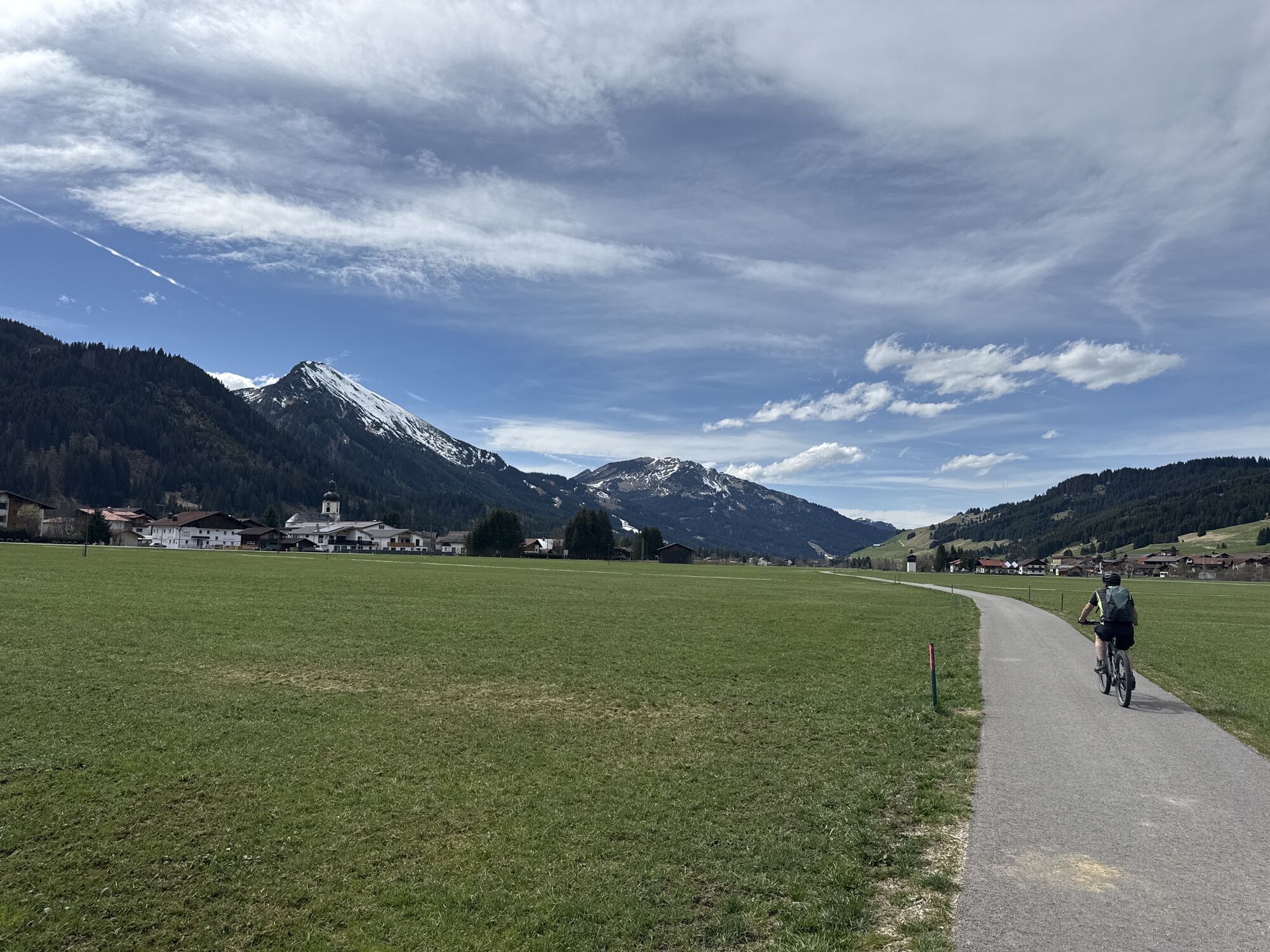
On Sunday, July 6, 2025, participants will cover 214 kilometers as well as 3,500 meters of elevation on the long route. Start and finish are located in the Tannheimer Tal, right in the center of Tannheim. From there the route leads through the Allgäu and then onto Germany's highest mountain pass road – the Riedberg Pass, at 1,407 meters above sea level. Then it continues in and through the Bregenzerwald, over the Hochtannberg Pass at 1,676 meters above sea level and through the Lech Valley to Weißenbach. 16 kilometers before the finish, the Gaicht Pass with 220 meters of elevation awaits before returning to the starting point in the Tannheimer Tal.

Technologie
5 / 6
Stav
6 / 6
Krajina
6 / 6
Zkušenosti
6 / 6
Nejlepší roční období
Led
Úno
Bře
Dub
Kvě
Čen
Čec
Srp
Zář
Říj
Lis
Pro
Sdílet prohlídku
Mapa
2026_Rad-Marathon Tannheimer Tal_214 km
heavy
Silniční kolo
213.54 km
Chyba
Došlo k chybě. Zkuste to prosím znovu.
Informace o trase
Trasa

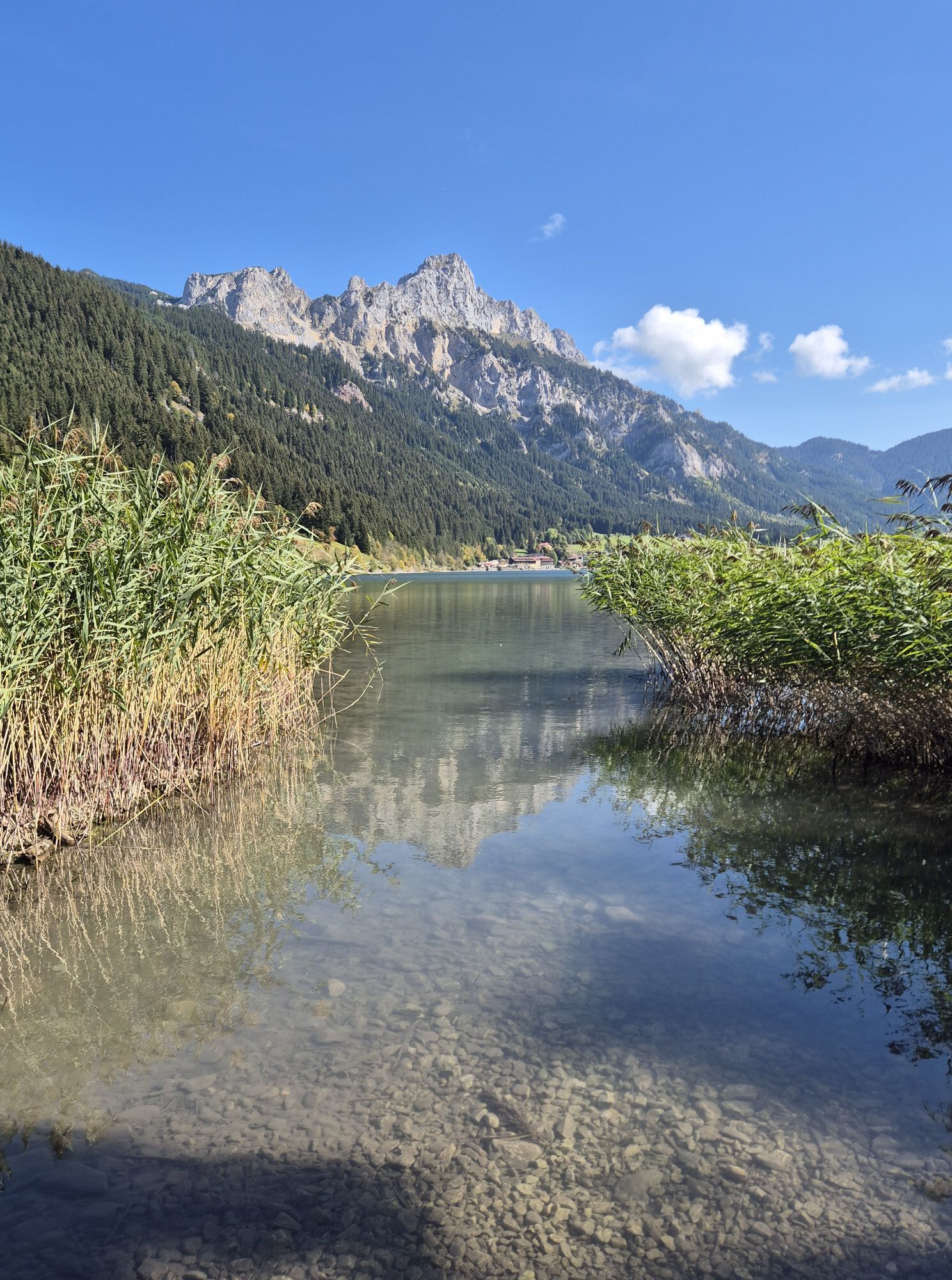
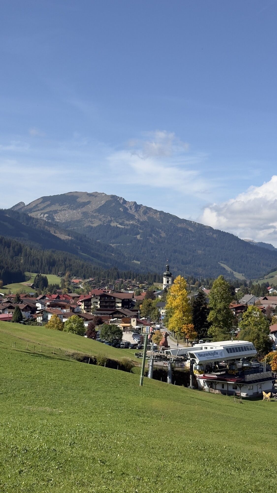
Start in the center of Tannheim via Grän, Tannheim, Zöblen, Schattwald across the STATE BORDER to Oberjoch and Unterjoch. On German territory, Wertach, Kranzegg, Rettenberg, Immenstadt and Altmummen (1st refreshment) are passed through. The detour into the scenic Gunzesried Valley then leads back out to Bihlerdorf and over Hüttenberg towards Ofterschwang, Bolsterlang to Obermaiselstein for the 2nd refreshment. Here begins Germany's highest mountain pass road with the Riedberg Pass at 1,407 meters. After the difficult descent, Balderschwang and the 3rd refreshment are reached. Then the STATE BORDER to Vorarlberg is crossed and the towns of the Bregenzerwald, Hittisau, Lingenau, Müselbach lead to Egg. A right turn to Schwarzenberg and further along the Bregenzer Ache river upstream through Mellau, Au (4th refreshment) and Schoppernau to the foot of the Schröcken Pass, which reaches an altitude of 1,676 meters above sea level. Then follows a fast descent to Warth for the 5th refreshment station. Further over the REGIONAL BORDER to Tyrol and on the B198 to Steeg, Holzgau, Schönau (6th refreshment), Bach, Elbigenalp, Häselgehr, Elmen, Stanzach to Weißenbach where the 7th refreshment station is reached. Then turn left onto the B199 over the Gaicht Pass, past Nesselwängle and the Haldensee back to Tannheim.
The route length is 214 kilometers and 3,500 meters of elevation are climbed.

Vybavení

Road bike is recommended.
Wearing a helmet is mandatory.
LIGHT REQUIREMENT through the tunnels at the Riedberg Pass and in the Bregenzerwald (Vorarlberg).
Each participant must carry a spare tube.
Support vehicles are unwelcome – please also adhere to this!!
The traffic regulations apply. General valid and usual behavior rules.

Bezpečnostní pokyny

It should be noted that road cycling can have an increased risk of accidents and injuries. Despite careful route planning, there is always an inherent risk. Route preparation through endurance sports, appropriate training and further education as well as personal caution reduces accident risk and hazards.

Informace o příjezdu
Příjezd

On the A7 motorway at the "Oy-Mittelberg" exit, take the B310 towards Wertach and Oberjoch. There follow the signs "Tannheimer Tal" B199, exit Tannheim, where sufficient paid parking is available.

From the Tyrol side via Reutte on the B198 in the direction of Lech Valley to Weißenbach, along the Gaicht Pass via the B199 to the Tannheim exit, where sufficient paid parking is available.

Veřejná doprava

By train to Sonthofen, Pfronten/Ried or Reutte, then by bus to Tannheim.

Parkování

Parking lot P3 in Tannheim – paid

Další informace a tipy
Úroveň obtížnosti

5
Další informace
Tipy
Each participant aged 18 years and older (of legal age) is eligible to start.
Participants aged 16 years can take part in the 138 km distance accompanied by parents or with the consent of a guardian. 
Participants aged 12 years can take part in the 103 / 66 km distance accompanied by parents or with the consent of a guardian. 
By paying the entry fee, the participant fully accepts all terms and conditions of the organizer. Participation is at your own risk! Furthermore, each participant agrees to exempt the organizers from any civil and criminal liability regarding personal and/or property damage caused by or sustained by the participant. 
The participant declares that he/she has trained sufficiently for the "Rad-Marathon Tannheimer Tal", is physically healthy, and that the health condition has been medically confirmed.
The organizer is entitled to shorten the route and change the time limit in case of bad weather or other unforeseen events.
In case of danger, cancellation or termination of the event by the authorities is also possible.
The organizers may remove participants from the competition who do not follow instructions.
Zatím žádné recenze
Napište recenzi

Recenze pomáhají ostatním uživatelům při výběru dalšího dobrodružství. Hodnoťte prosím pouze prohlídku, nikoli počasí nebo svačinu.

Výběrem jedné z hvězdiček ohodnotíte prohlídku
Špatné turné
Slabé turné
Průměrné turné
Dobrá prohlídka
Vynikající prohlídka
Pěší turistika a stopování

Pěší turistika a stopování

Pěší turistika a stopování
Více než 550.000 návrhů výletů, podrobné mapy a intuitivní plánovač tras dělají z aplikace nezbytnou výbavu pro všechny milovníky přírody.
bergfex