



Road bike route - Umhausen - around Niederthai

Úroveň obtížnosti: 4




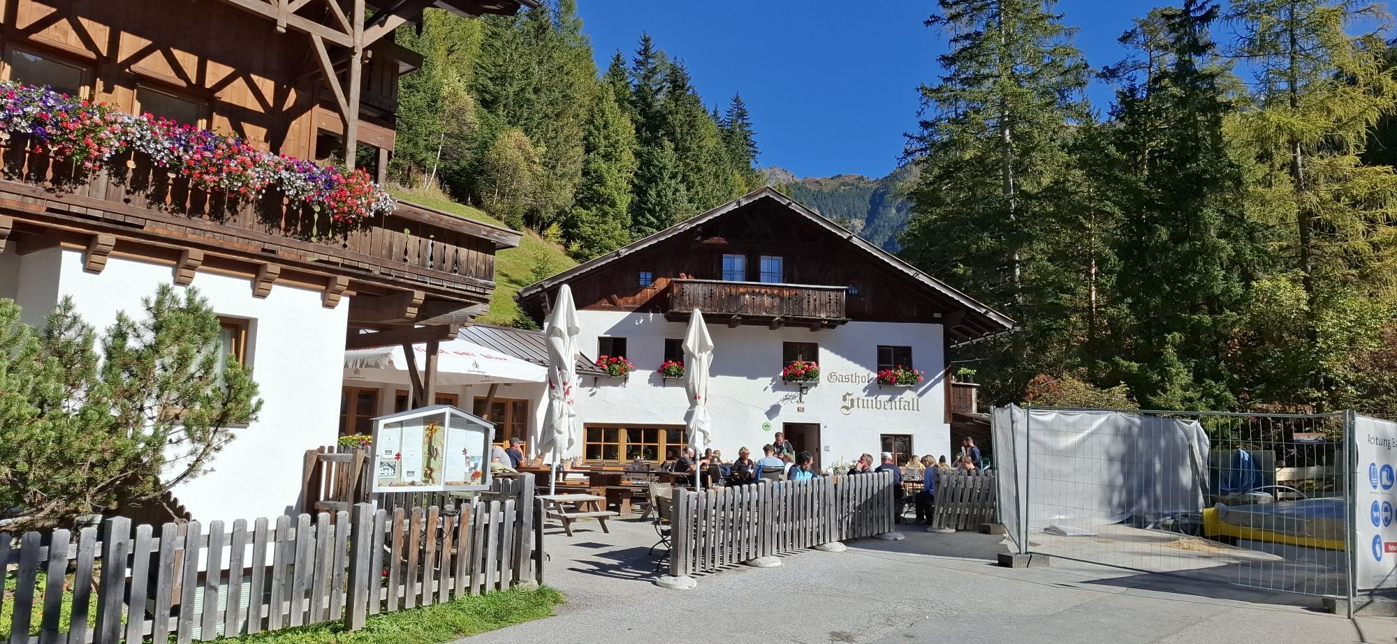
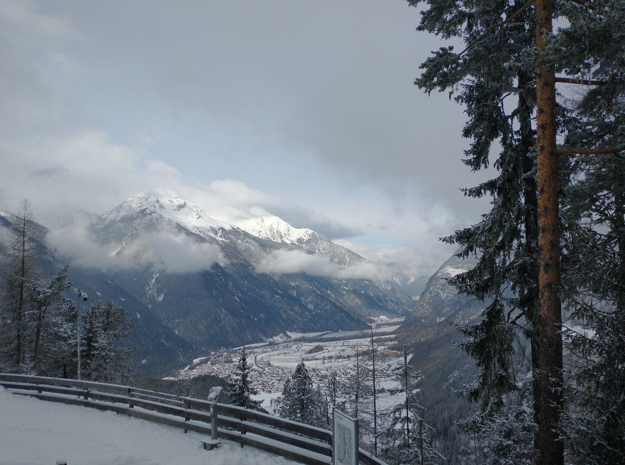
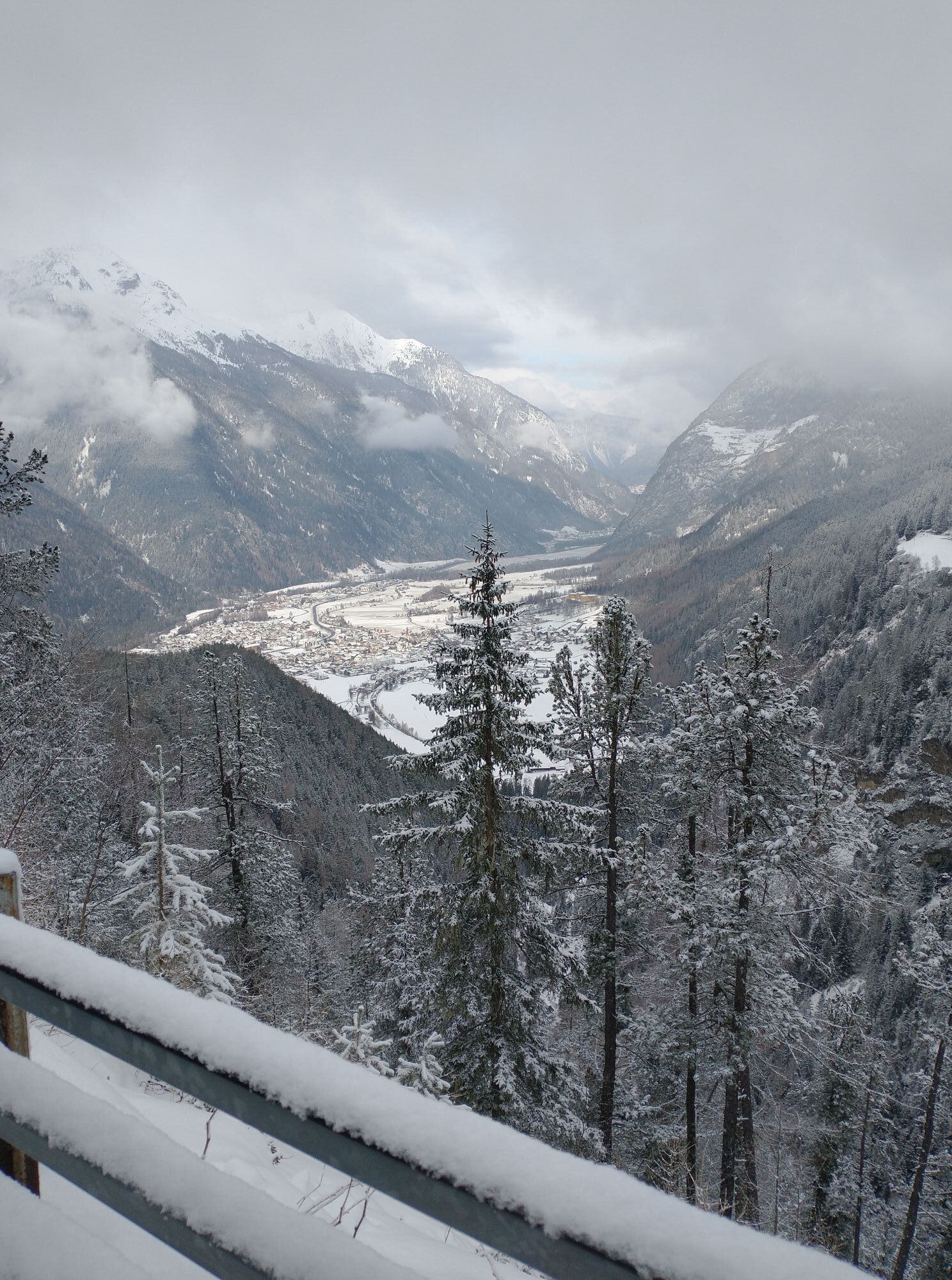
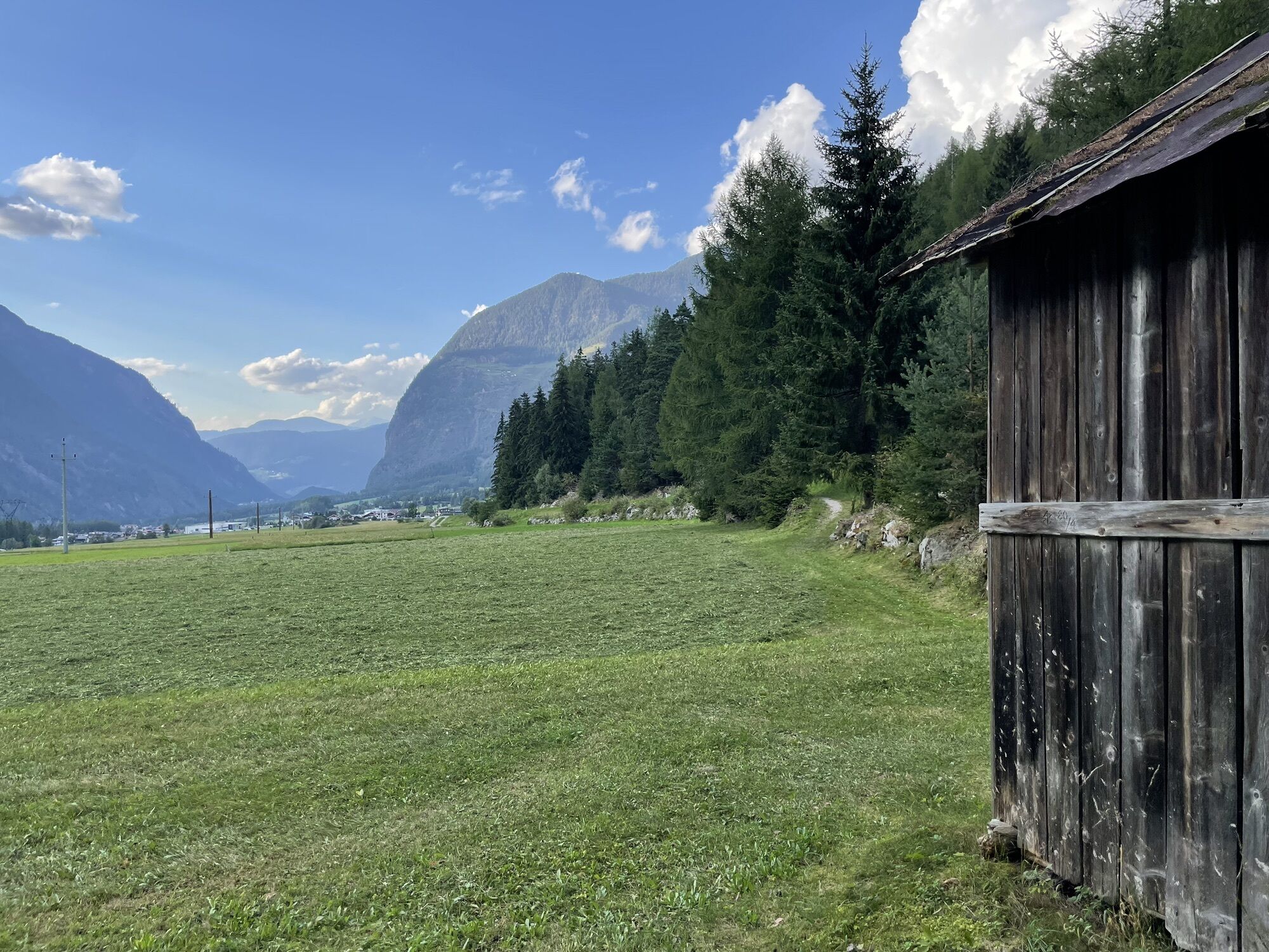
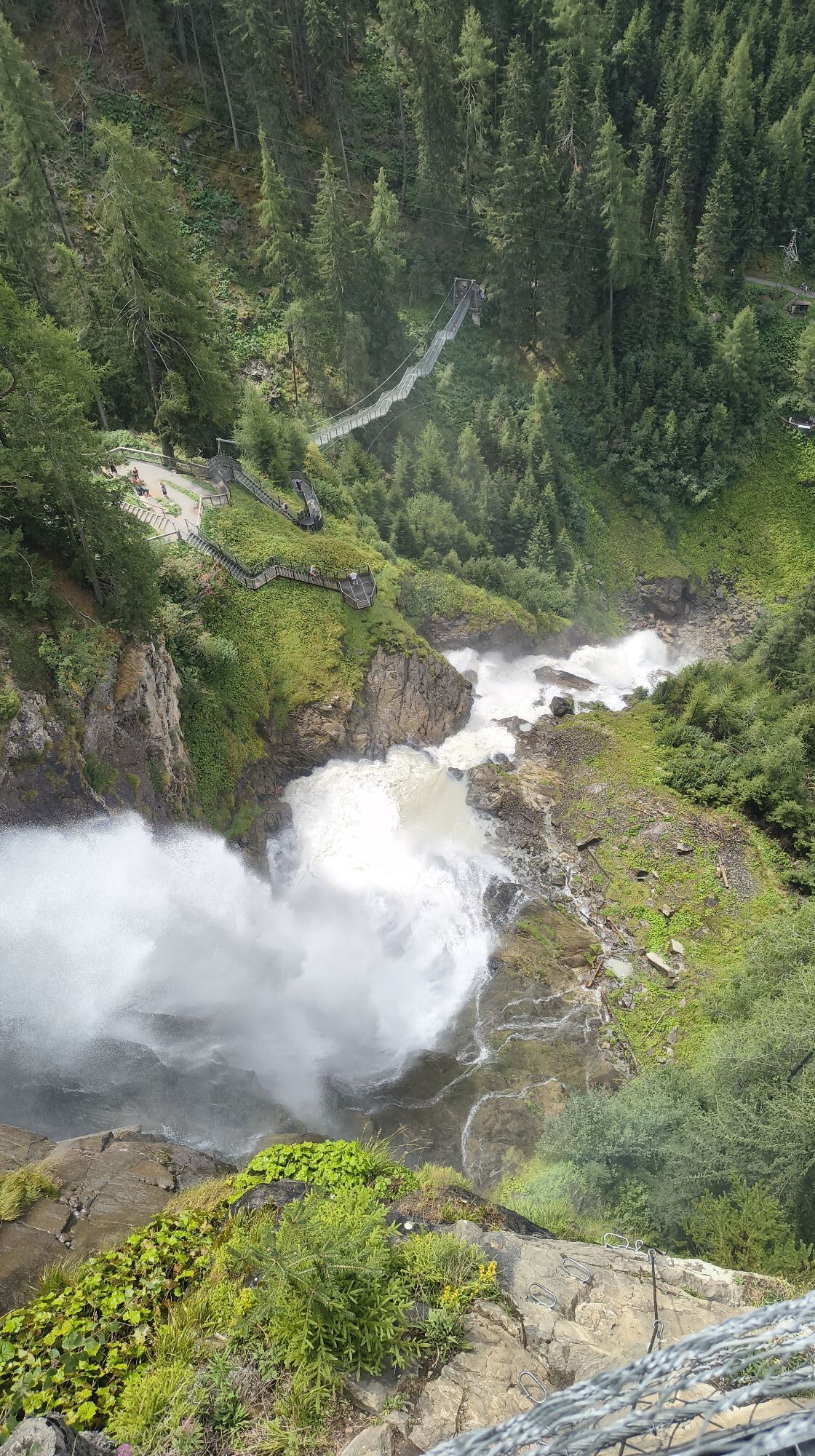



The Stuibenfall near Umhausen is the largest waterfall in Tyrol with a drop height of 159 m. The Stuibenfall can be seen directly on the Niederthai state road.
The approach from Umhausen is quite varied...
The Stuibenfall near Umhausen is the largest waterfall in Tyrol with a drop height of 159 m. The Stuibenfall can be seen directly on the Niederthai state road.
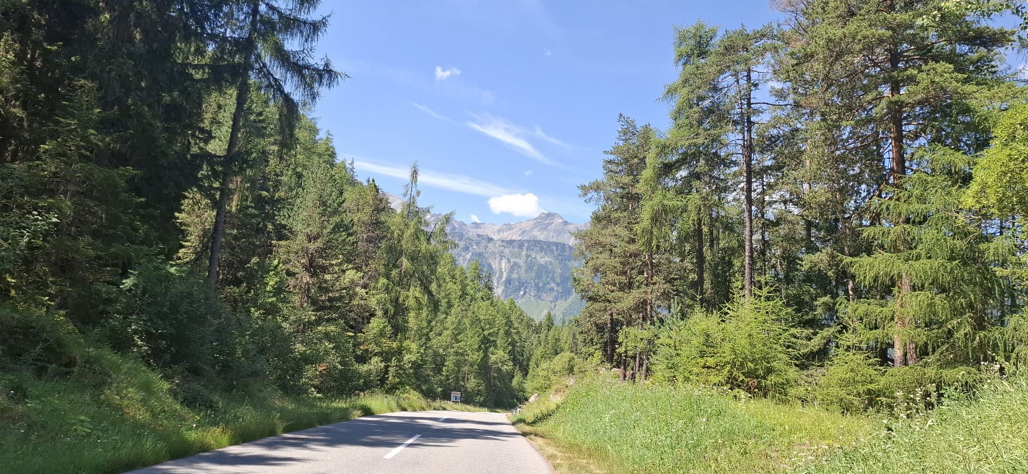
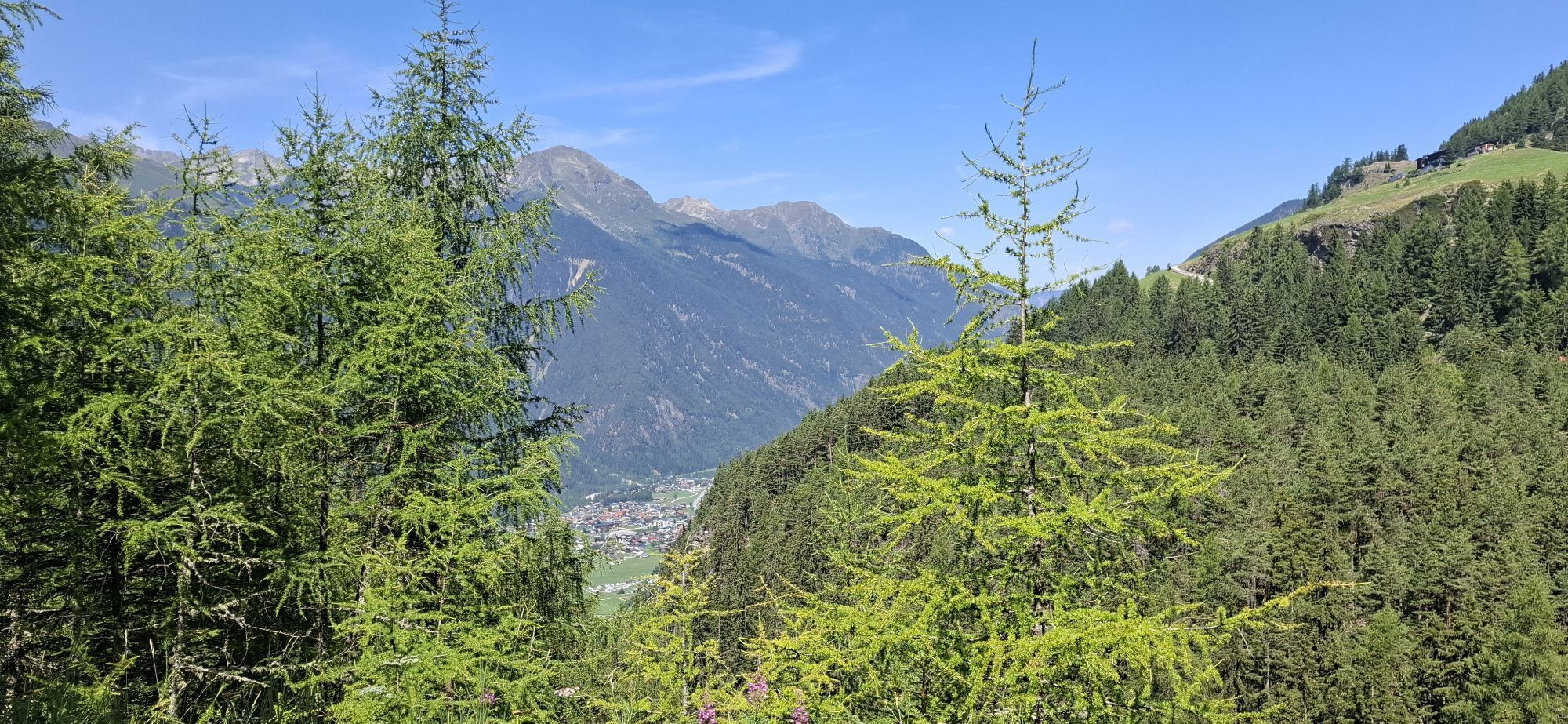
The approach from Umhausen is quite varied and initially leads through the forest, over some hairpin turns to an easily accessible panoramic viewing platform with a great view of the Stuibenfall.
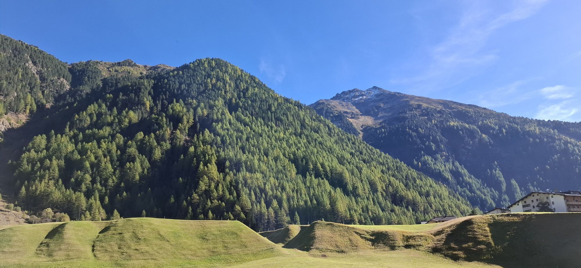
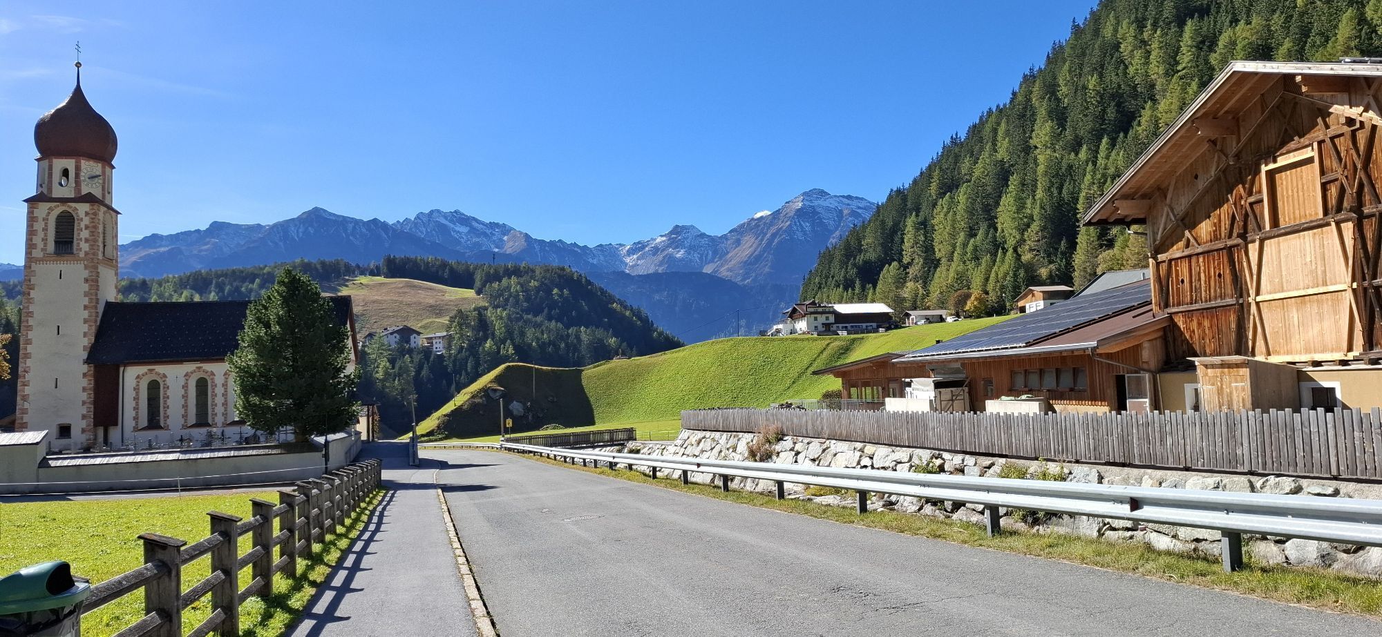
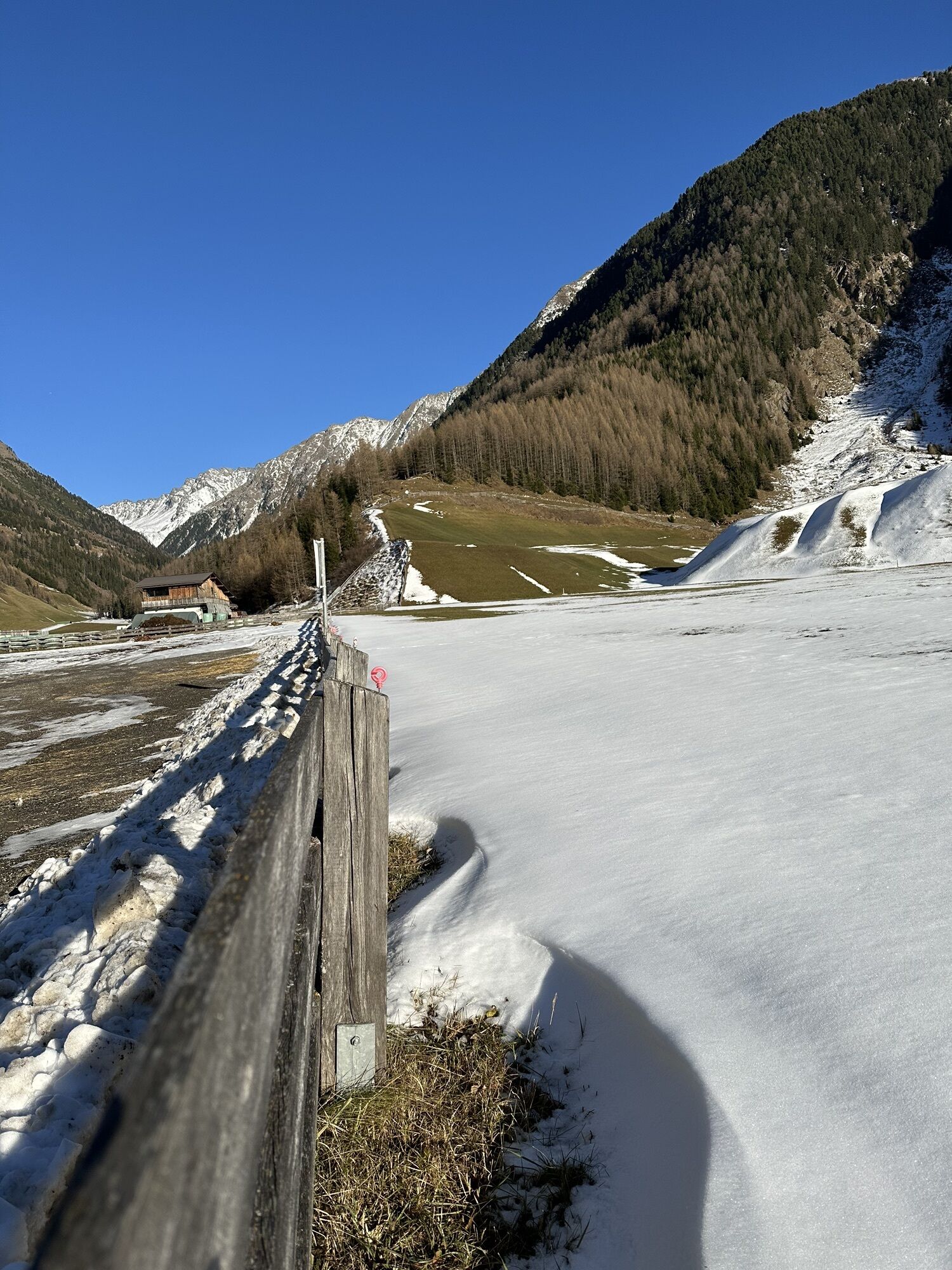
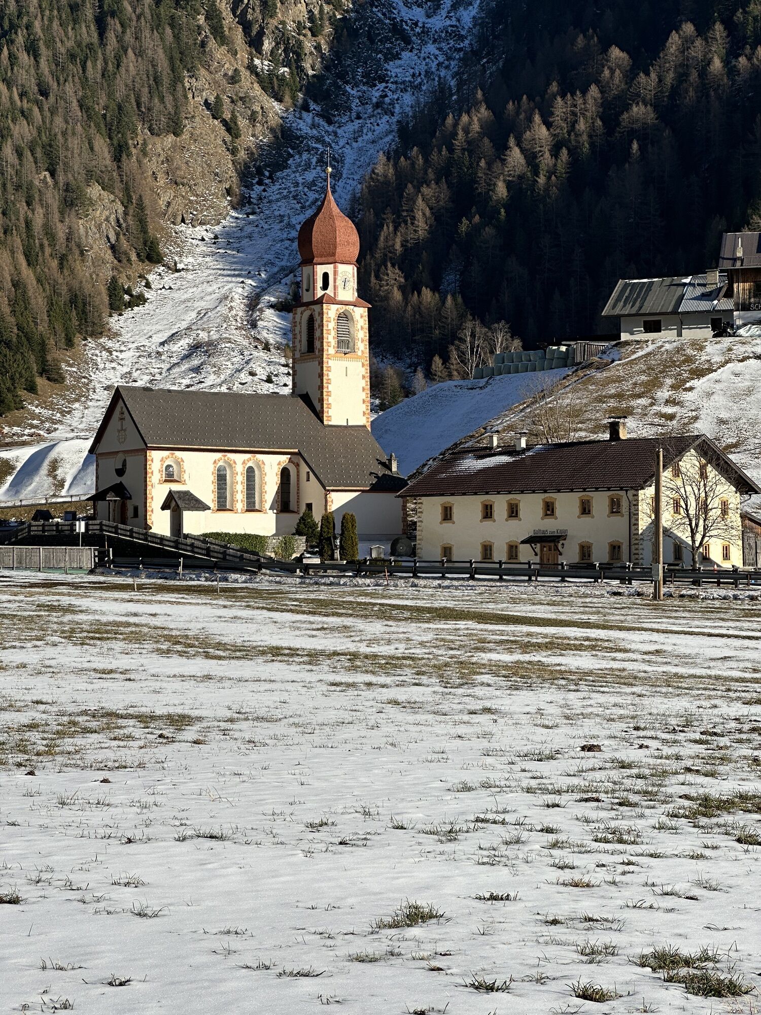
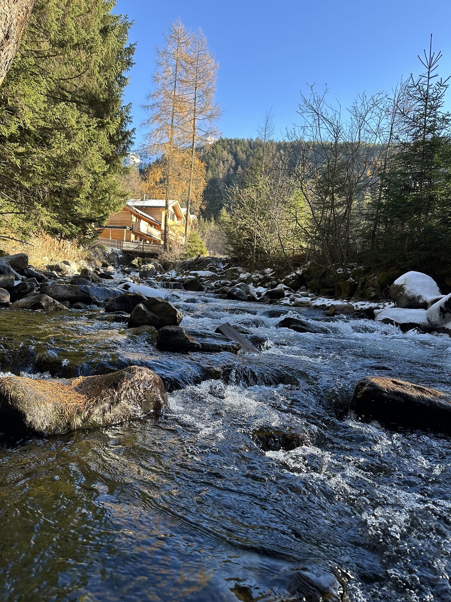
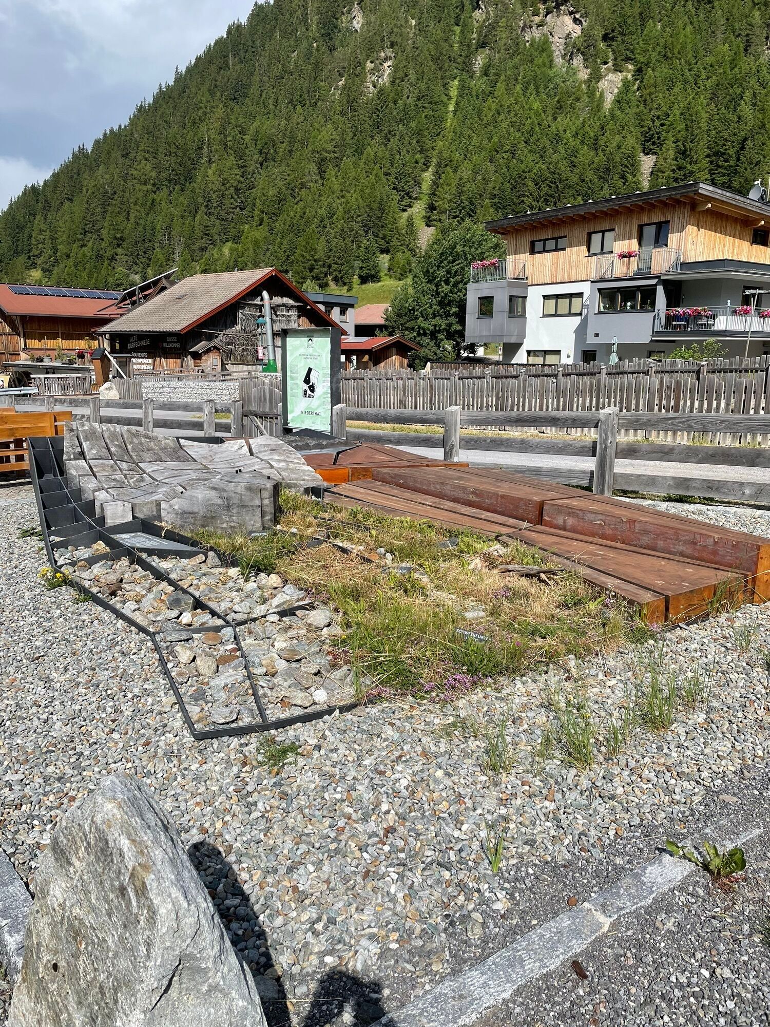
After a short descent, the scenery changes: lush green meadows and a beautiful mountain backdrop accompany the cyclists on the round trip at a fairly constant altitude through the hamlets of Niederthai. The idyllic, dreamy mountain village Niederthai lies in the heart of the ÖTZTAL NATURE PARK and is an ideal starting point for exploring the area.
Thirsty cyclists are recommended to visit the Ötztaler Bier Manufaktur. This village brewery produces various beers using regional and typical raw materials, old methods, and unique recipes.



After starting at the tourism information center in Umhausen, head through the town center towards the south. At the end of the town, turn left and follow the state road L238 to Niederthai. Upon arrival, turn left immediately at the entrance to the village over the bridge and continue to the hamlet of Bichl. Here you have a wonderful view over the Ötztal and the opposite Köfels. Now continue to the Niederthai village center. To get there, keep left at the descent from Bichl. Once at the bottom, cross the "Horlachbach" and continue on the very sunny small hill Tauferberg. Apart from the small ascent at the village exit, the route goes downhill from here back to Umhausen.
Ano
Ano
Personal equipment must be safe and functional and comply with the respective technical standard. Every road cyclist is advised to inform themselves about the planned routes in specialist literature or on site. Complete road cycling equipment is strongly recommended even for experienced riders!
Tip: For the partly sparsely lit tunnels, lighting is advisable.
The road traffic regulations apply. General valid and usual rules of conduct.
Note that road cycling carries an increased risk of accidents and injuries. Despite careful route planning, a basic risk always remains. Tour preparation through endurance sports, appropriate training and further education as well as personal caution reduce the risk of accidents and injuries.
WHERE IS UMHAUSEN?
Sölden is located in western Austria in the state of TYROL, in a southern side valley of the Inn valley – the ÖTZTAL.
Arrival from the west:
From Vorarlberg to Tyrol via the Arlberg pass or through the Arlberg tunnel (S 16) - Landeck - motorway A 12 towards Innsbruck - exit Ötztal to Roppen tunnel - B 186 (14 km) to Umhausen.
From the north:
- Bad Tölz - Achen pass - B 181 - Jenbach - A 12 Innsbruck direction Bregenz - exit Ötztal - B 186 (35 km) to Sölden
- Pfronten - Reutte - Fern pass - Imst - A 12 towards Innsbruck - exit Ötztal to Roppen tunnel or B 171 Tiroler Straße to Ötztal (toll-free) - B 186 (14 km) to Umhausen.
- Garmisch Partenkirchen - Ehrwald - Lermoos - Fern pass - Imst - A 12 towards Innsbruck - exit Ötztal to Roppen tunnel or B 171 Tiroler Straße to Ötztal (toll-free) - B 186 (14 km) to Umhausen.
- Garmisch Partenkirchen - Mittenwald - Scharnitz - Seefeld in Tirol - Telfs - A 12 towards Bregenz - exit Ötztal or B 171 Tiroler Straße to Ötztal (toll-free) - B 186 (14 km) to Umhausen.
From the east:
From Munich or Salzburg on the A 93 to Kufstein, then on the A 12 towards Bregenz, via Innsbruck to the Ötztal exit, then on B 186 (14 km) to Umhausen.
From the south:
From Bolzano towards Brenner (toll road) - Brenner motorway via Schönberg toll station towards Innsbruck - from Innsbruck on A 12 towards Bregenz up to Ötztal access - continue on B 186 (14 km) to Umhausen.
Arrival by train
Travel comfortably and safely by train to the Ötztal train station. A local bus to Obergurgl departs directly from the station forecourt. The bus ride to Umhausen takes about 30 minutes.
All important information about bus schedules, connections, and taxi companies can be found here.
Parking lot Mure - free
Parking lot Bischofsplatz in Umhausen: parking fee for cars EUR 4.50/day. The purchased parking ticket entitles you to park at all parking lots on the respective day, meaning with the parking ticket already purchased at the Niederthai parking lot, you are entitled to park on the same day at the Bischofsplatz or Köfels parking lots.
4
Webové kamery z prohlídky
Niederthai im Ötztal
Niederthai - Alpin Appart
Umhausen - Vivea Gesundheitshotel
Umhausen - der Veitenhof
Stuibenfall
Stuibenfall
Stuibenfall
Stuibenfall
Umhausen / Hotel Tauferberg
Umhausen / Hotel Tauferberg
Umhausen / Hotel Tauferberg
Umhausen / Hotel Tauferberg
Umhausen / Hotel Tauferberg
Niederthai - Delano
Niederthai - Delano
Umhausen / Hotel Tauferberg


Oblíbené prohlídky v okolí
- 4.7
Winnebachsee Hut – Längenfeld/Gries
středníTuristika 4.74 km - 4.7
Winter circular route Brandalm/Burgstein - Längenfeld 204
středníZimní turistika 5.44 km - 4.4
Hike Stuibenfall - Umhausen
světloTuristika 2.95 km - 4.4
Stuibenfall Umhausen circular hike
světloTuristika 9.32 km - 4.5
Oetz - Piburger See - Oetz
středníTuristika 7.16 km - 4.5
Hohe Geige über Gawinden und den Westgrat
heavyTuristika 14.3 km - 4.5
KÜHTAI: Kühtai (2020) - Sulzkogel (3016) - Mute (2398)
středníVysokohorská turistika 15 km - 4.4
Rundwanderung Hängebrück3
světloTuristika 6.32 km - 4.3
Lampsenspitze, Sellrain, Tirol
středníLyžařská trasa 4.97 km - 4.3
Umhausen - Stuibenfall - Umhausen
středníTuristika 7.94 km
Pěší turistika a stopování


Nenechte si ujít nabídky a inspiraci pro vaši příští dovolenou
Vaše e-mailová adresa byl přidán do poštovního seznamu.


