


636 Three Alm Route
Fotografie našich uživatelů
-

 © Werner FögerVytvořeno dne 14.08.2025
 -
 © Werner FögerVytvořeno dne 14.08.2025
 -
 © Werner FögerVytvořeno dne 14.08.2025
 -
 © Werner FögerVytvořeno dne 14.08.2025
 -
 © Werner FögerVytvořeno dne 14.08.2025
 -
 © DIIMVytvořeno dne 13.10.2022
 -
 © DIIMVytvořeno dne 13.10.2022
 -
 © DIIMVytvořeno dne 13.10.2022
 -

 © Martin GlaserVytvořeno dne 07.09.2025
 -
 © Martin GlaserVytvořeno dne 07.09.2025
 -
 © Martin GlaserVytvořeno dne 07.09.2025
 -
 © Martin GlaserVytvořeno dne 07.09.2025
 -
 © Martin GlaserVytvořeno dne 03.09.2025
 -
 © Martin GlaserVytvořeno dne 15.02.2025
 -
 © Martin GlaserVytvořeno dne 25.02.2024


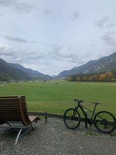
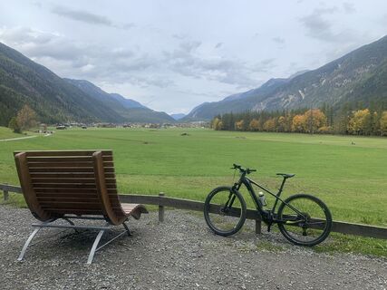
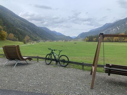
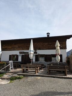
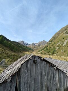
The start of the route is at the Sportzentrum Längenfeld. From there, you follow the Ötztaler Radweg (No. 11) downhill. Through the hamlets of Längenfeld, you soon reach the turnoff to Wurzberg Alm. The...
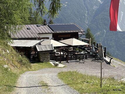
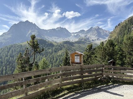
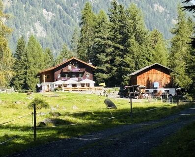
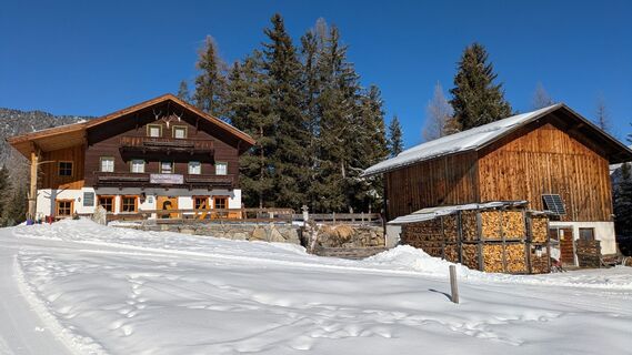
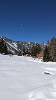
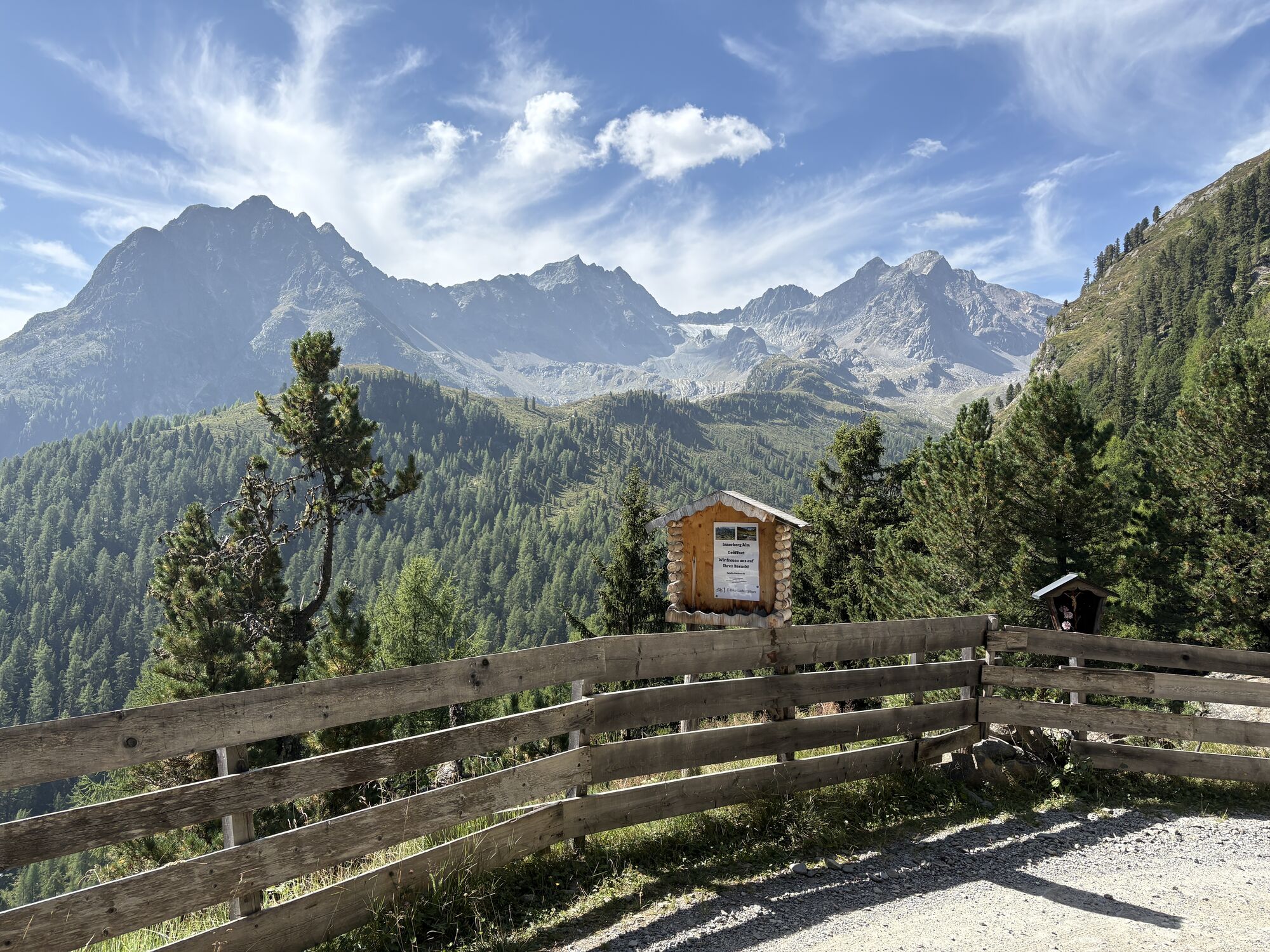
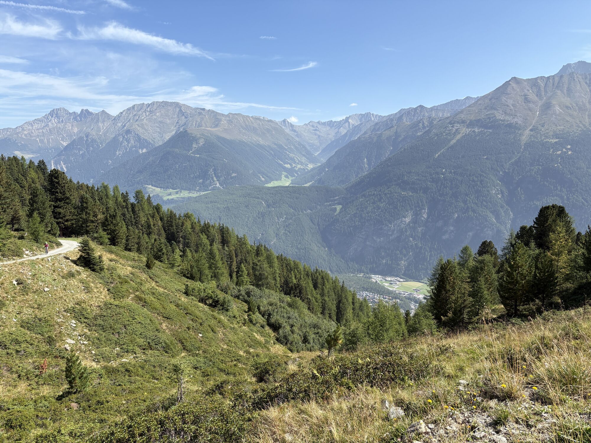
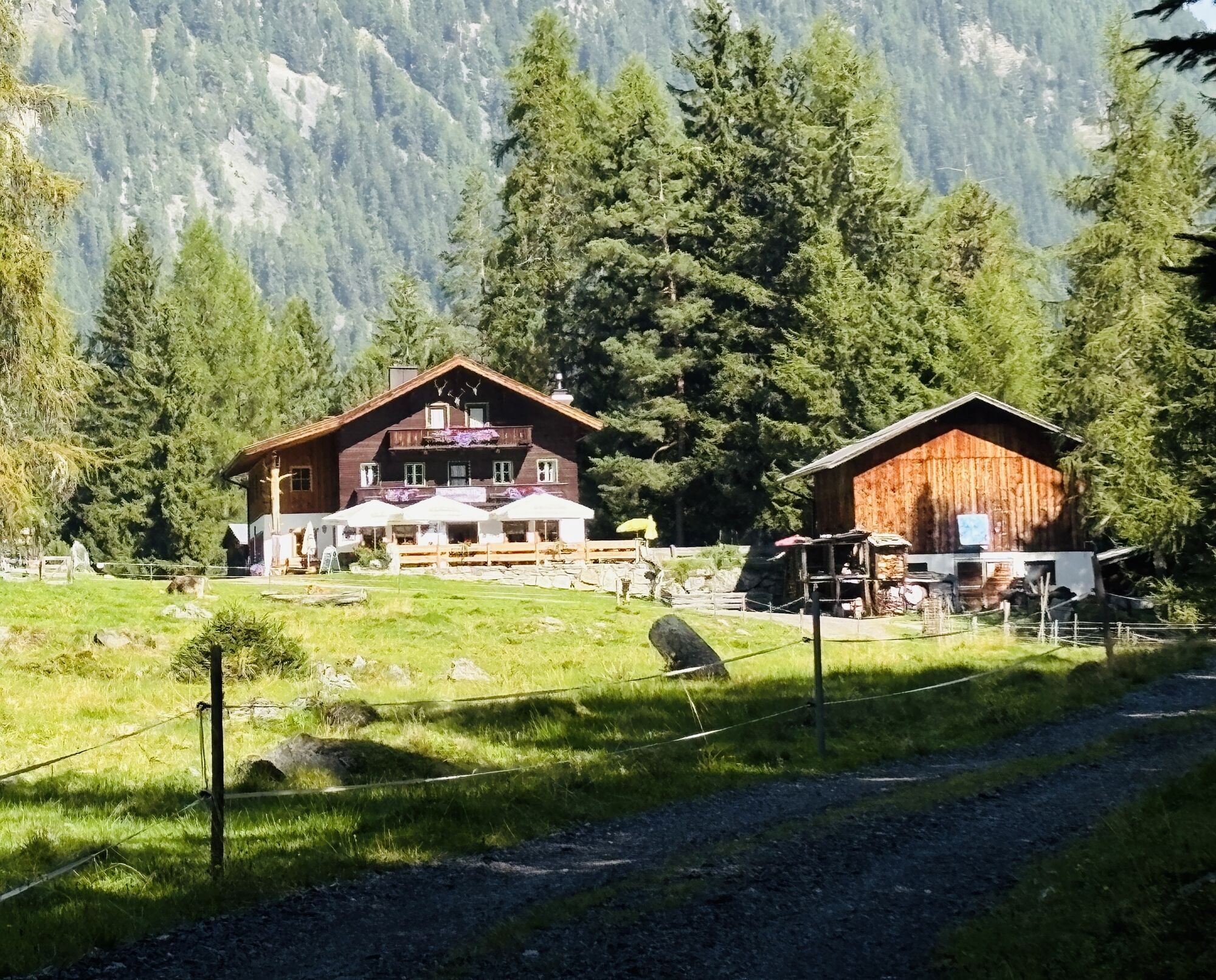
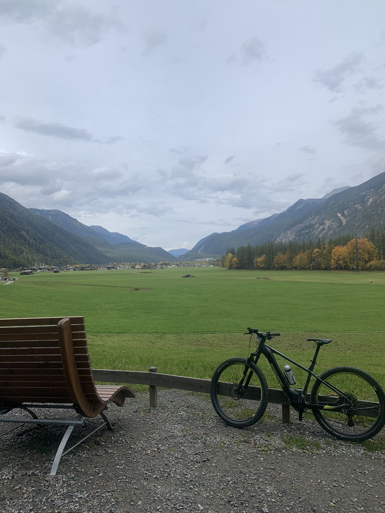
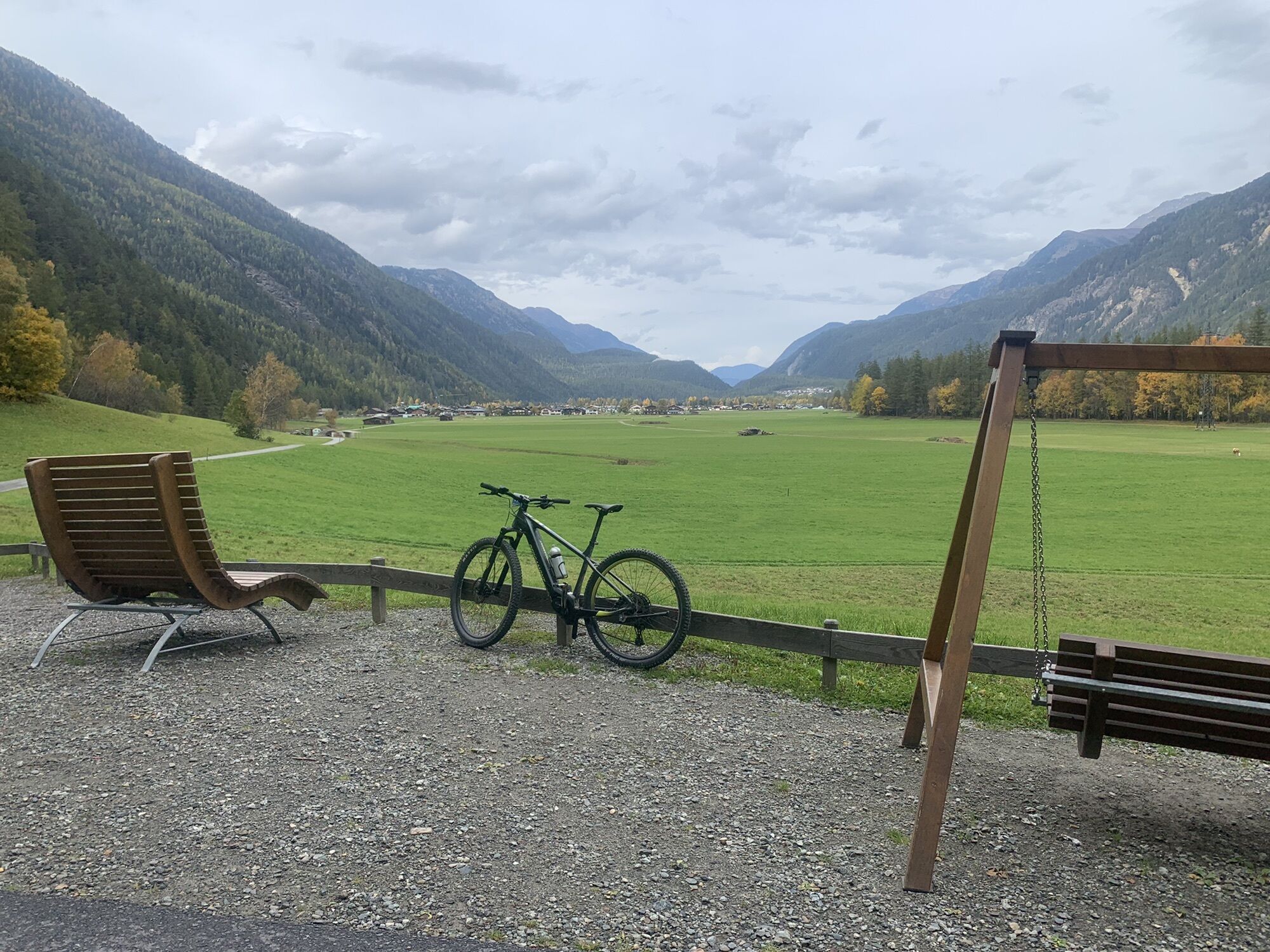
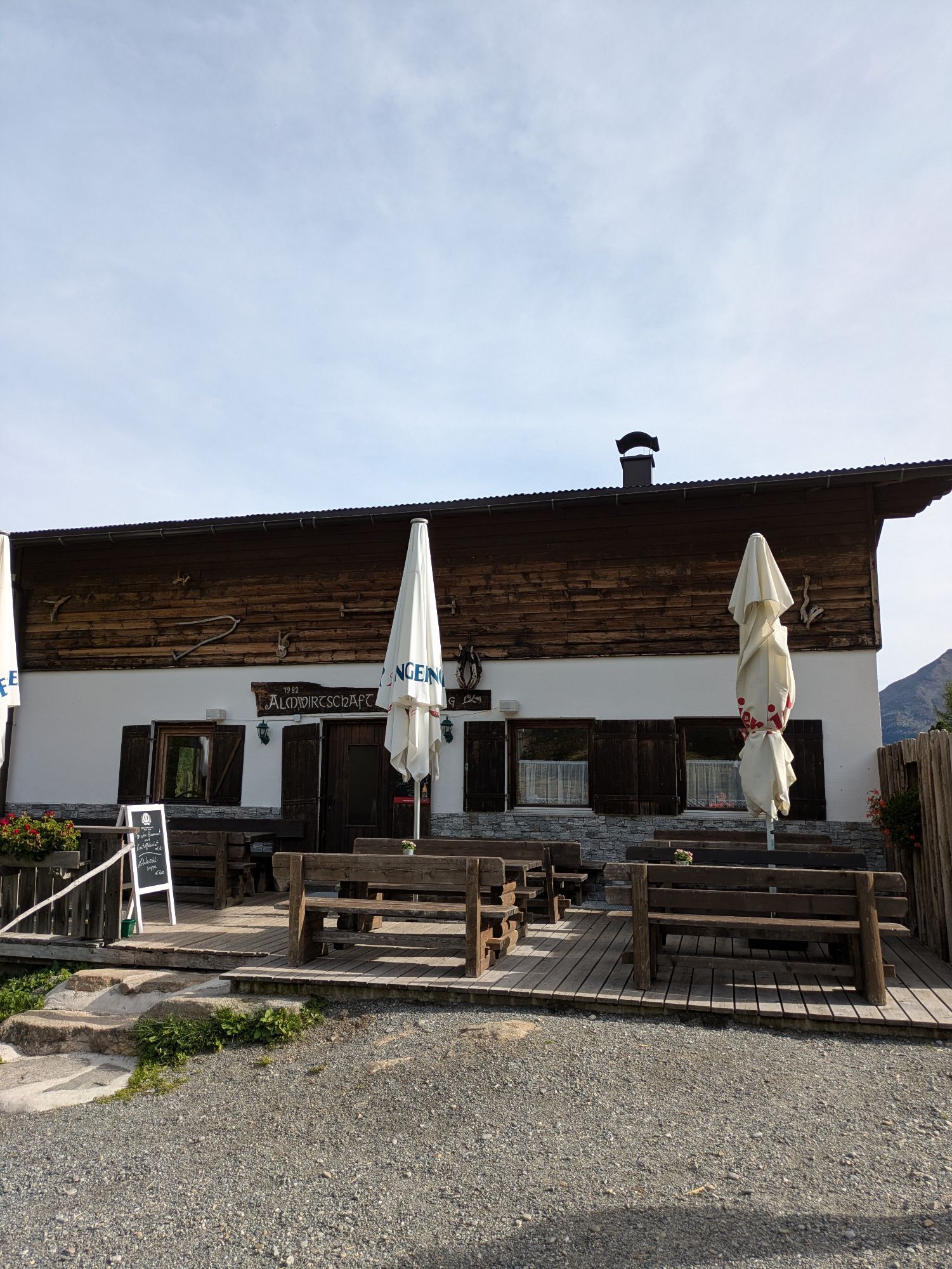
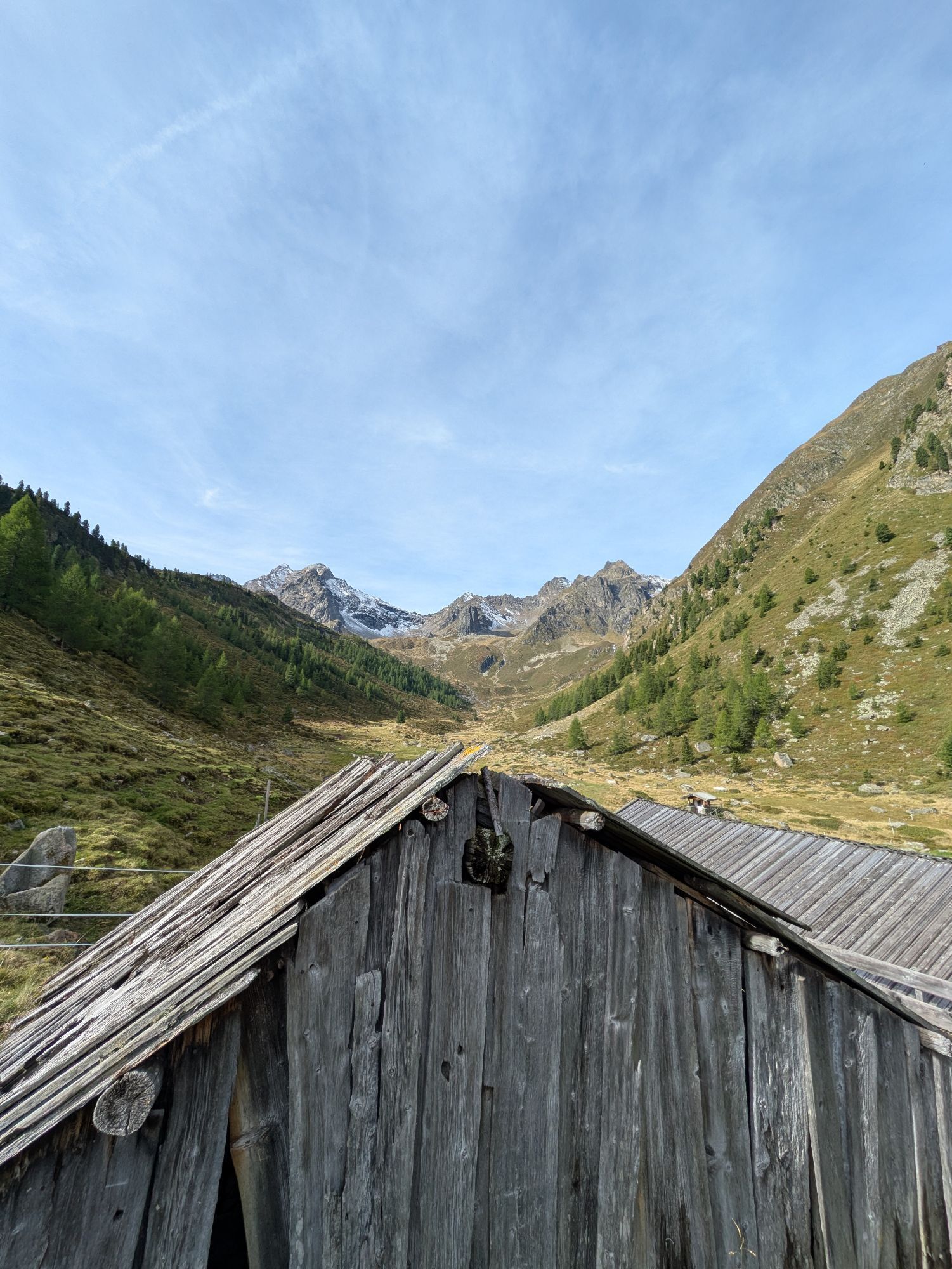
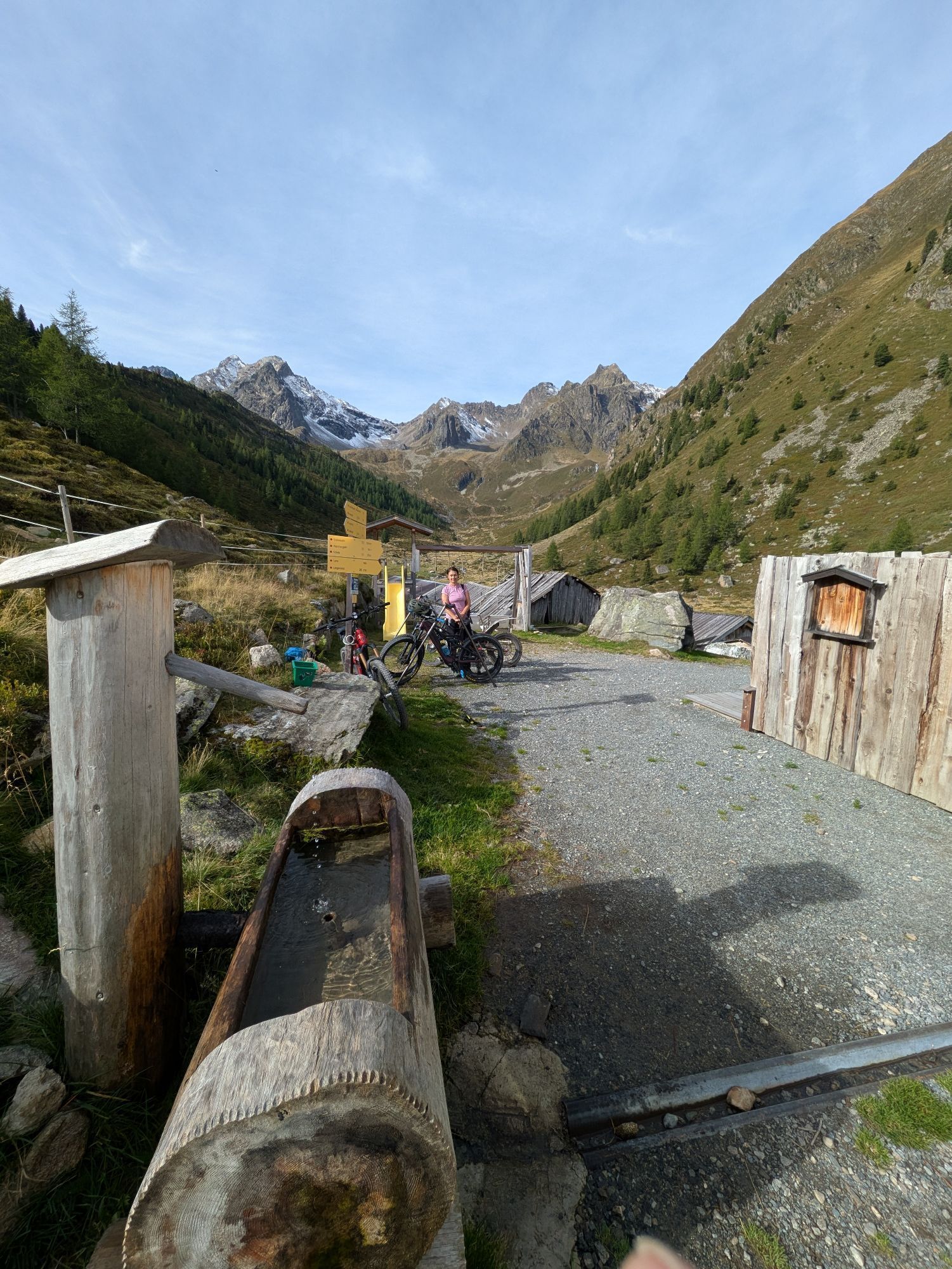
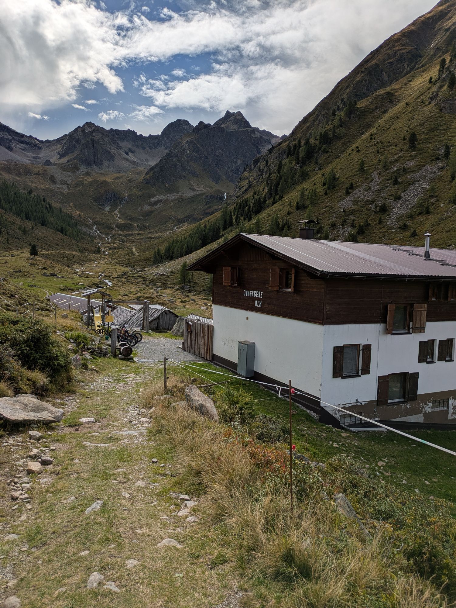
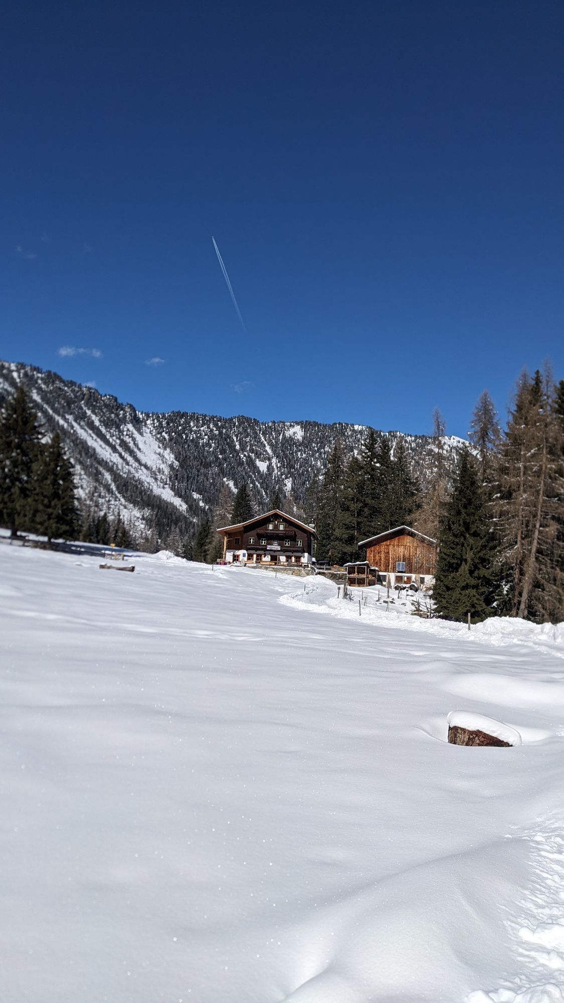
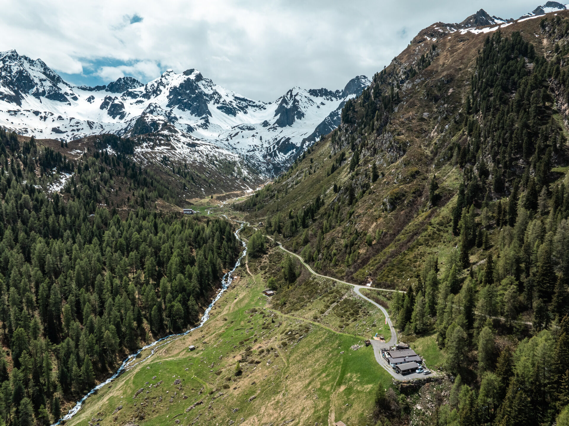
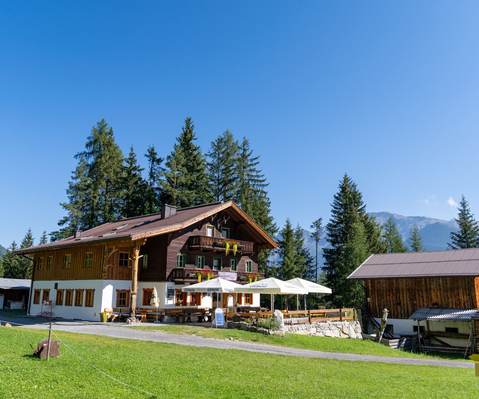
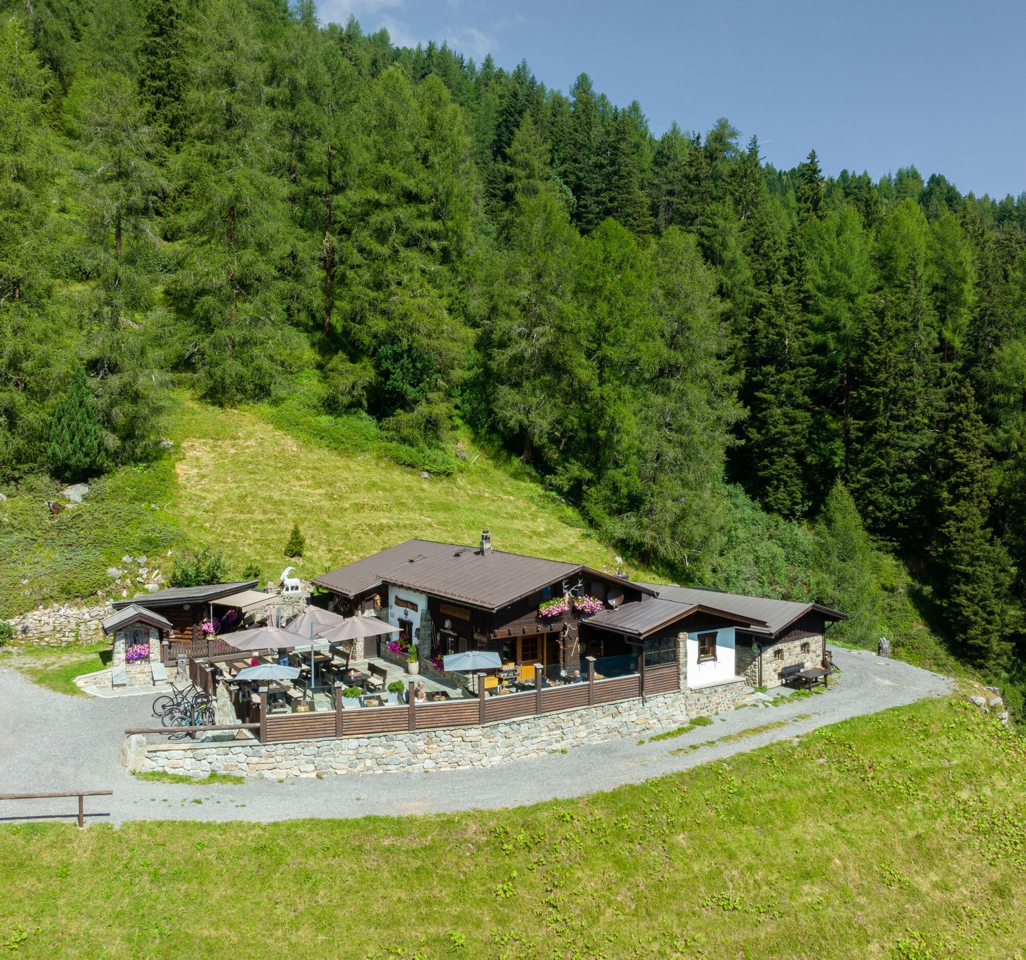
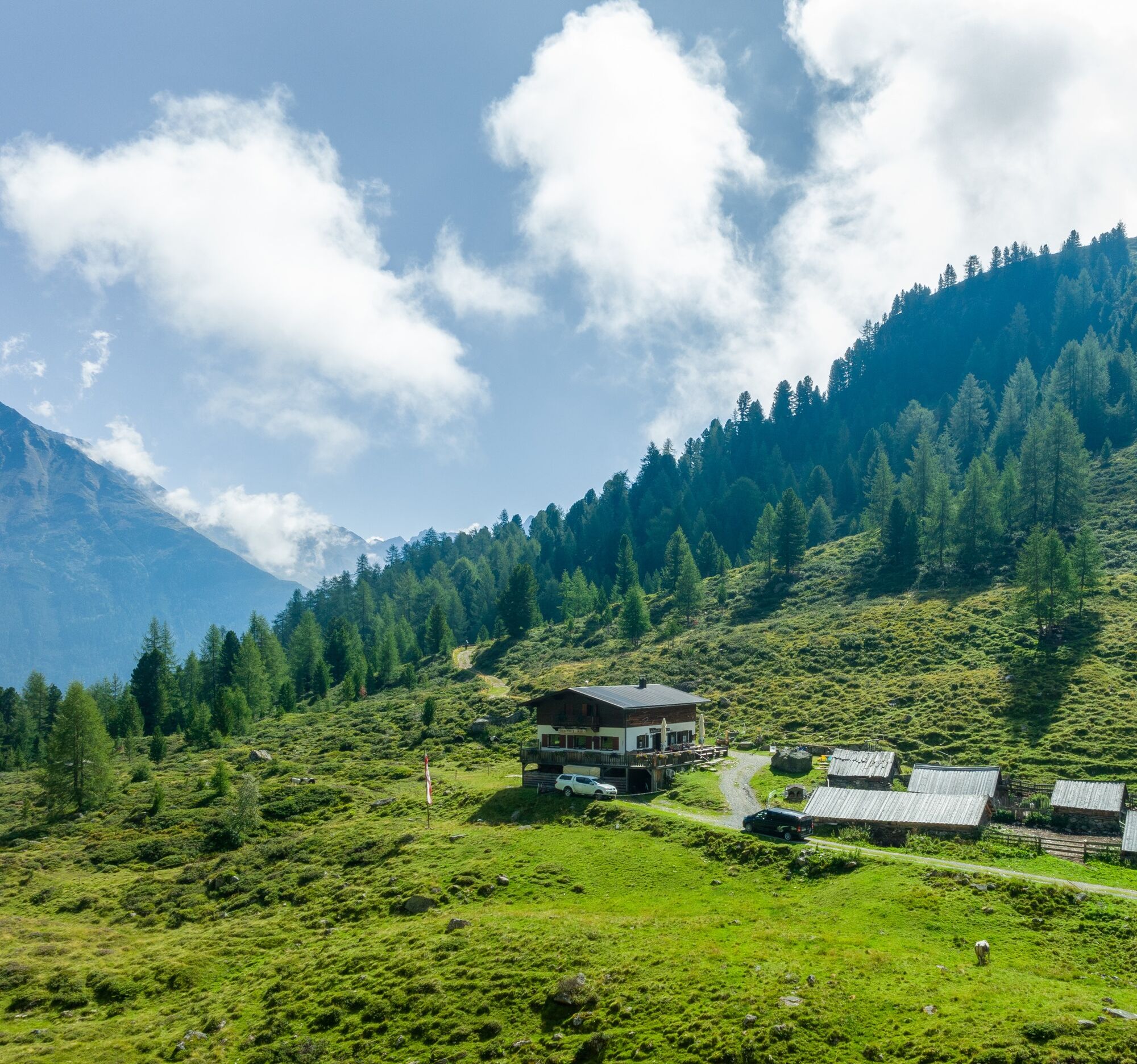
The start of the route is at the Sportzentrum Längenfeld. From there, you follow the Ötztaler Radweg (No. 11) downhill. Through the hamlets of Längenfeld, you soon reach the turnoff to Wurzberg Alm. The gravel road leads upwards in countless switchbacks. Fortunately, the forest provides some shade. After just under 4 kilometers, Wurzbergalm offers the first opportunity to stop for refreshments. It then continues towards Stabele Alm and Innerberg Alm. Soon the forest boundary is reached. Here you get an unobstructed view of the Ötztal mountain world. Further switchbacks provide an entertaining ride and build anticipation for the descent. Shortly before Stabele Alm, you pass the highest point of the route at 2,010 meters. Just a short dip, and the destination at Innerberg Alm is reached. You return to Längenfeld via the same path.

Appropriate equipment such as breathable clothing and weather-appropriate outdoor gear, bicycle helmet, gloves, sunglasses, and a GPS device or maps. On bike rides without opportunities to stop for food, sufficient provisions are necessary.
Sporty bike handling skills and defensive riding behavior are required due to some steep ascents and more difficult descents, and the demands on fitness and riding technique are rated as medium. The focus is on sporty, active (pleasure) cycling.
The car journey into ÖTZTAL. Located in Tyrol, the ÖTZTAL branches southwards as the longest side valley of the Eastern Alps. Travel by car leads visitors via the Inn valley to the valley entrance and further along the Ötztal. In addition to the toll motorway, country roads can also be used. With the route planner, your trip can be planned quickly and conveniently.
For the route planner: https://www.google.at/maps.
Travel comfortably and safely by train to the Ötztal train station. The final stop or exit point is the ÖTZTAL station. Afterwards, you can conveniently and quickly travel through the entire valley to your desired destination by public bus service or local taxi companies! The current bus schedule is available at: fahrplan.vvt.at
The following parking options are available in Längenfeld:
Sportzentrum Längenfeld, free of chargeMore information about biking & cycling in Ötztal: https://www.oetztal.com/biken
This route runs along developed paths and can be easily ridden with a motorized e-mountain bike or a classic mountain bike without motor assistance.
Webové kamery z prohlídky
-
Niederthai im Ötztal
-
Niederthai - Alpin Appart
-
Skilift Gries im Ötztal
-
Therme Längenfeld
-
Therme Längenfeld
-
Therme Längenfeld
-
Therme Längenfeld
-
Therme Längenfeld
-
Längenfeld im Ötztal
-
Gries - Längenfeld
-
Umhausen - Vivea Gesundheitshotel
-
Umhausen - der Veitenhof
-
Stuibenfall
-
Stuibenfall
-
Stuibenfall
-
Stuibenfall
-
Stuibenfall
-
Umhausen / Hotel Tauferberg
-
Umhausen / Hotel Tauferberg
-
Umhausen / Hotel Tauferberg
-
Umhausen / Hotel Tauferberg
-
Umhausen / Hotel Tauferberg
-
Niederthai - Delano
-
Niederthai - Delano
-
Umhausen / Hotel Tauferberg
Oblíbené prohlídky v okolí
-
4.5
Winnebachsee Hut – Längenfeld/Gries
středníTuristika 4.74 km -
4.4
Stuibenfall Umhausen circular hike
světloTuristika 9.32 km -
4.2
Hike Stuibenfall - Umhausen
světloTuristika 2.95 km -
4.3
Amberger Hut - Längenfeld/Gries
středníTuristika 5.60 km -
4.5
Oetz - Piburger See - Oetz
středníTuristika 7.16 km -
4.7
Winter circular route Brandalm/Burgstein - Längenfeld 204
středníZimní turistika 5.44 km -
4.4
Rundwanderung Hängebrück3
světloTuristika 6.32 km -
4.7
Circular hike Bergmahderweg - Niederthai
světloTuristika 7.60 km -
4.1
Hohe Geige über Gawinden und den Westgrat
heavyTuristika 14.3 km -
4.7
Umhausen - Stuibenfall - Umhausen
středníTuristika 7.94 km
Pěší turistika a stopování


Nenechte si ujít nabídky a inspiraci pro vaši příští dovolenou
Vaše e-mailová adresa byl přidán do poštovního seznamu.