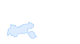
4 hut tour in Osttirol
heavy
Pořiďte si tuto prohlídku do mobilního telefonu
4 hut tour in Osttirol
heavy
Mountainbike
112,56
km
Naskenujte QR kód a spusťte navigaci v aplikaci bergfex.

Pěší turistika a stopování


4 hut tour in Osttirol
heavy
Vzdálenost
112,56
km
Doba trvání
06:15
h
Ascent
5.333
hm
Hladina moře
652 -
2.018
m
Stažení skladby
4 hut tour in Osttirol
heavy
Mountainbike
112,56
km
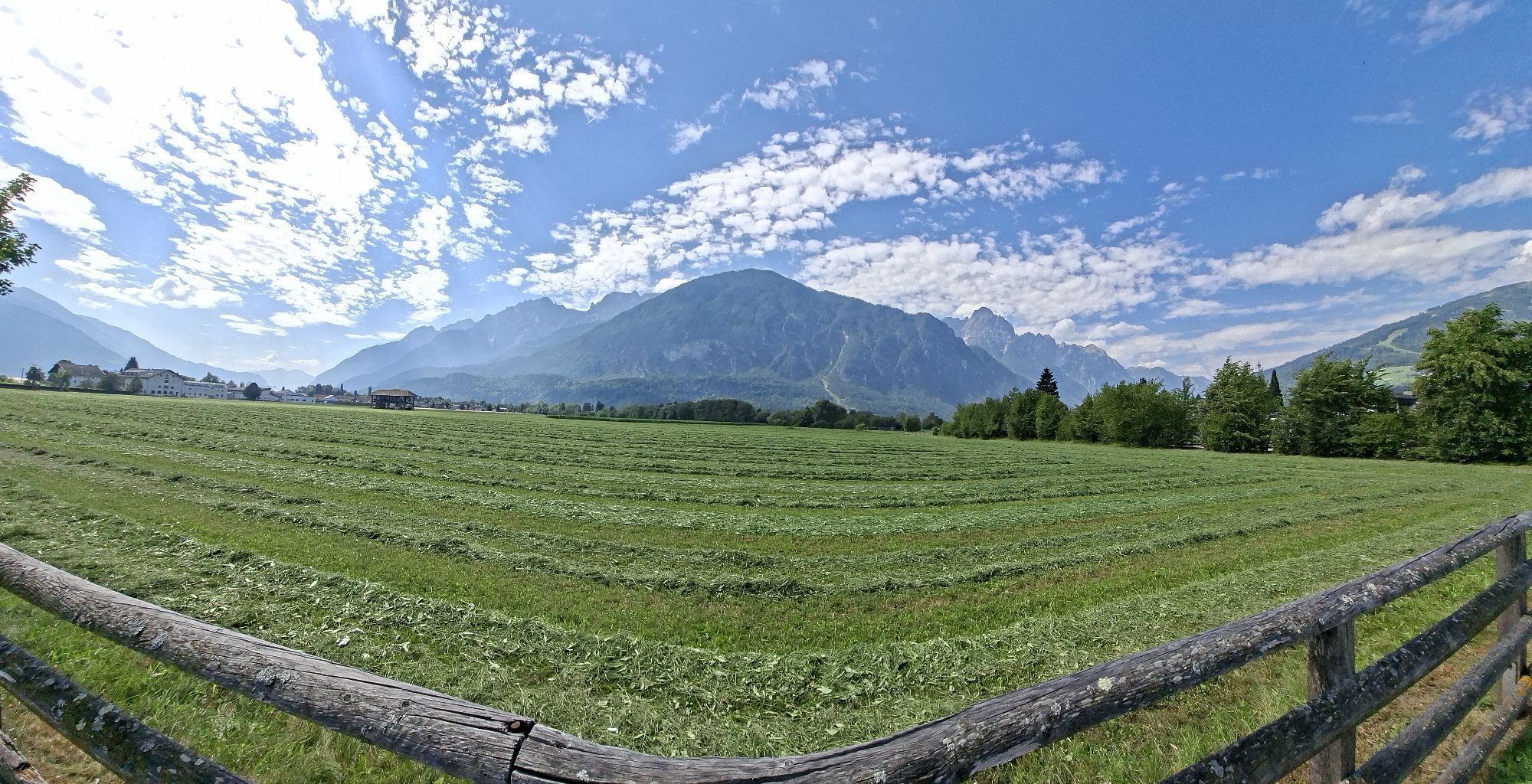
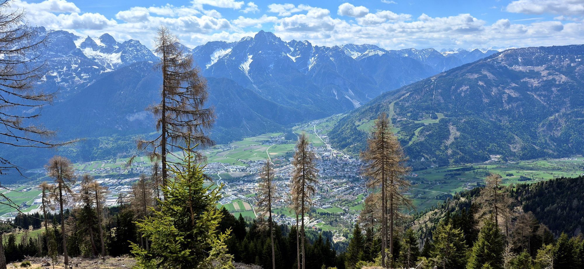
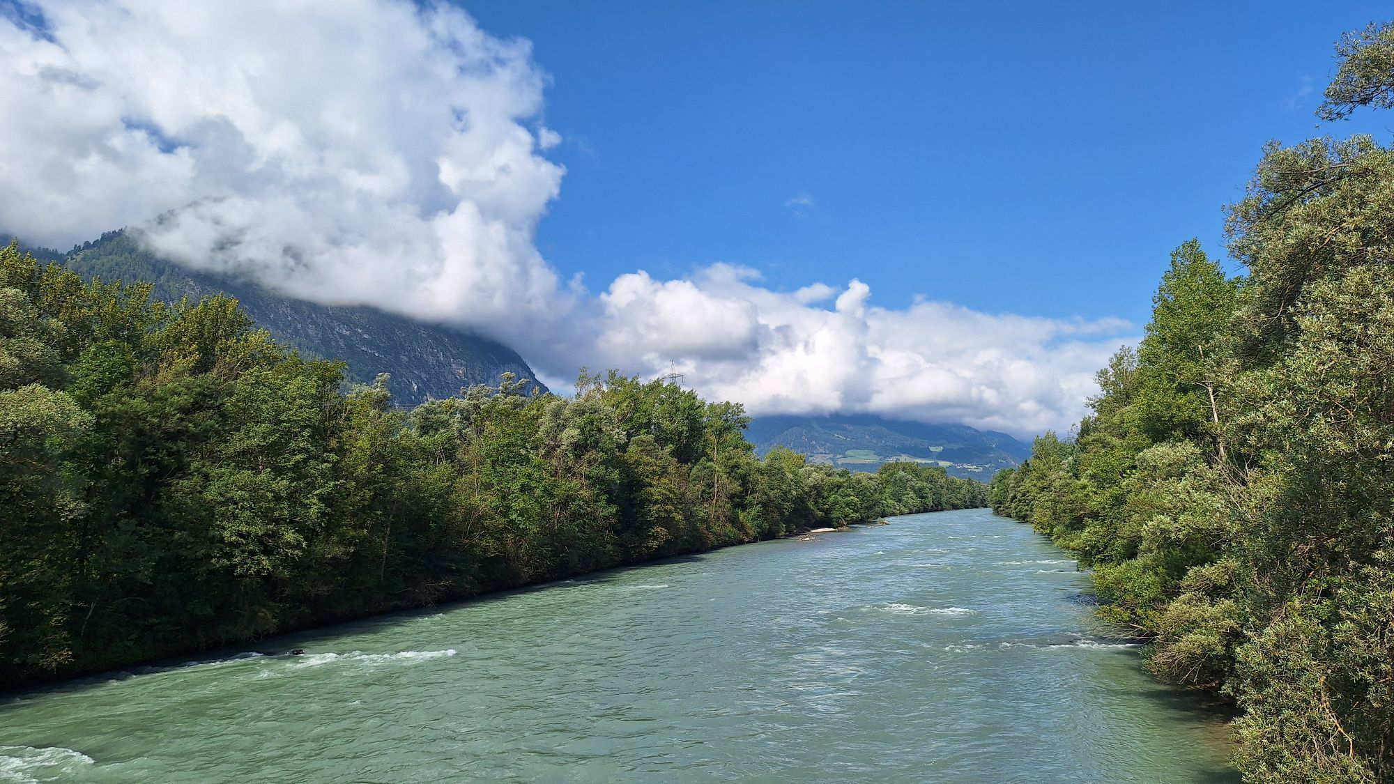
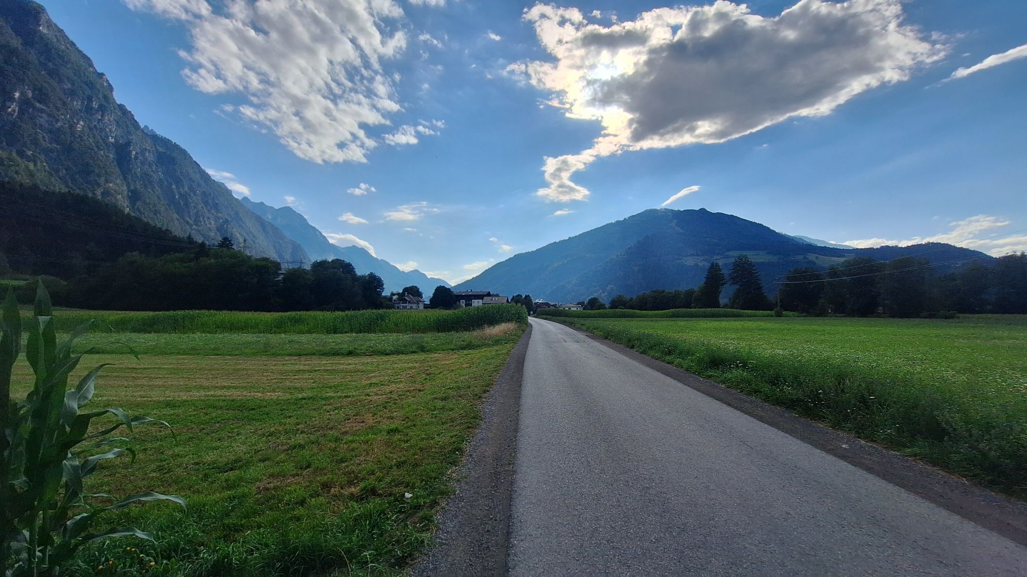


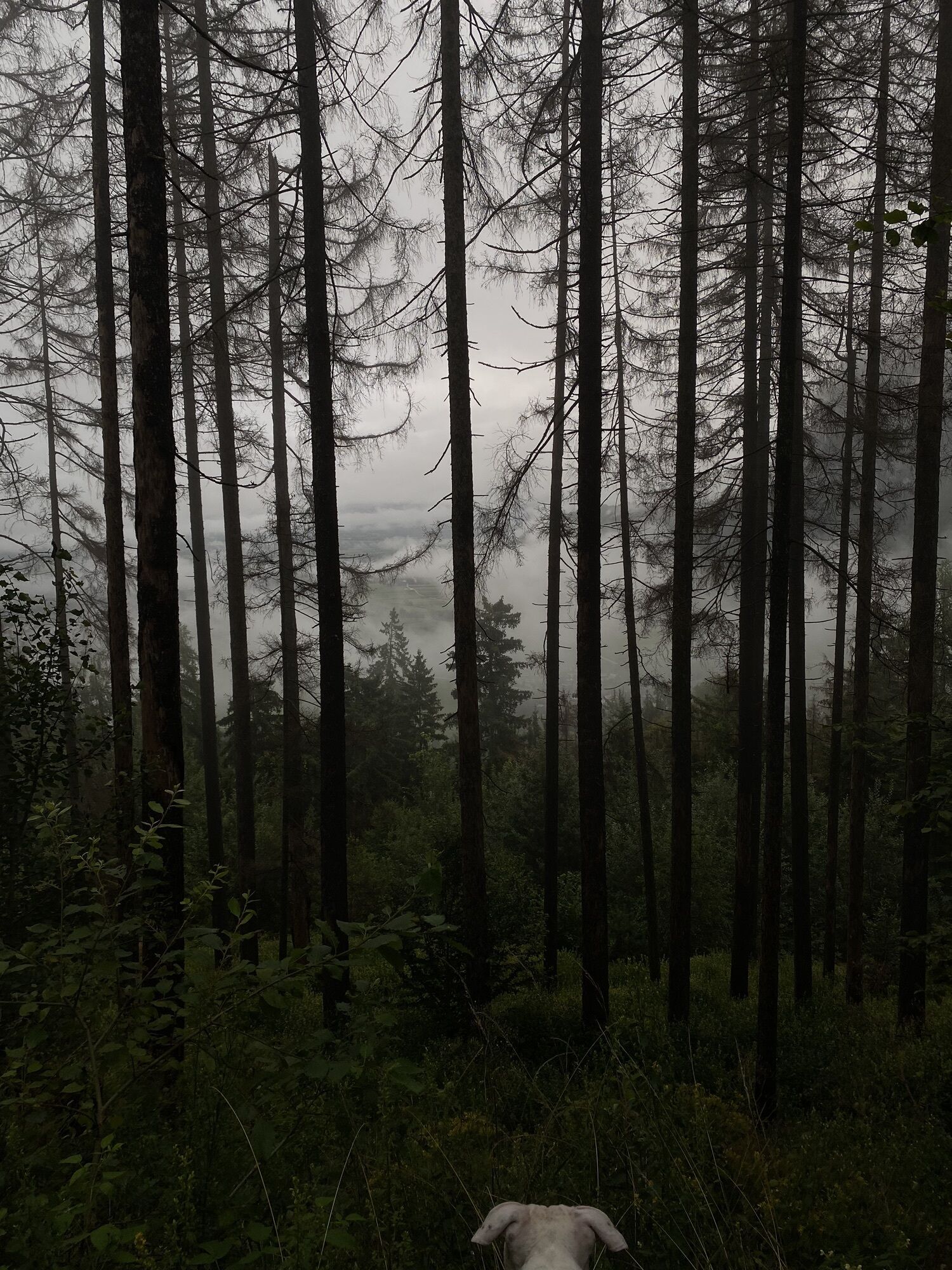
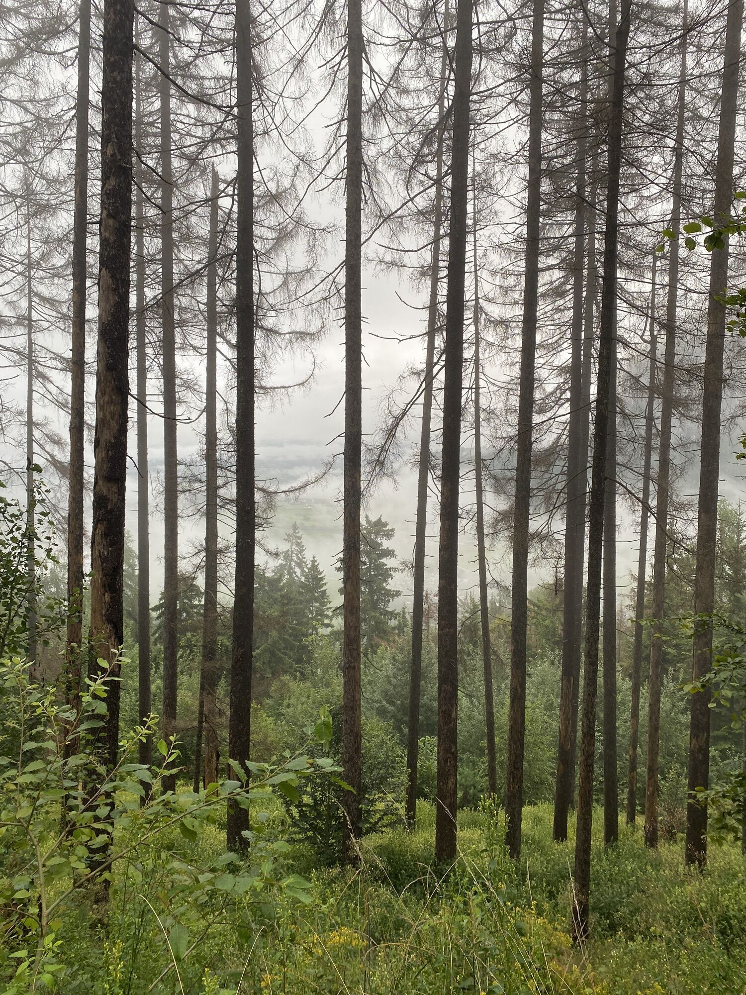


1 day:Starting point for the tour is the train station in Lienz in the town centre. Although the stage is short, the climb is quite tough. After rolling along the Drau at an easy pace the route climbs...
Popis
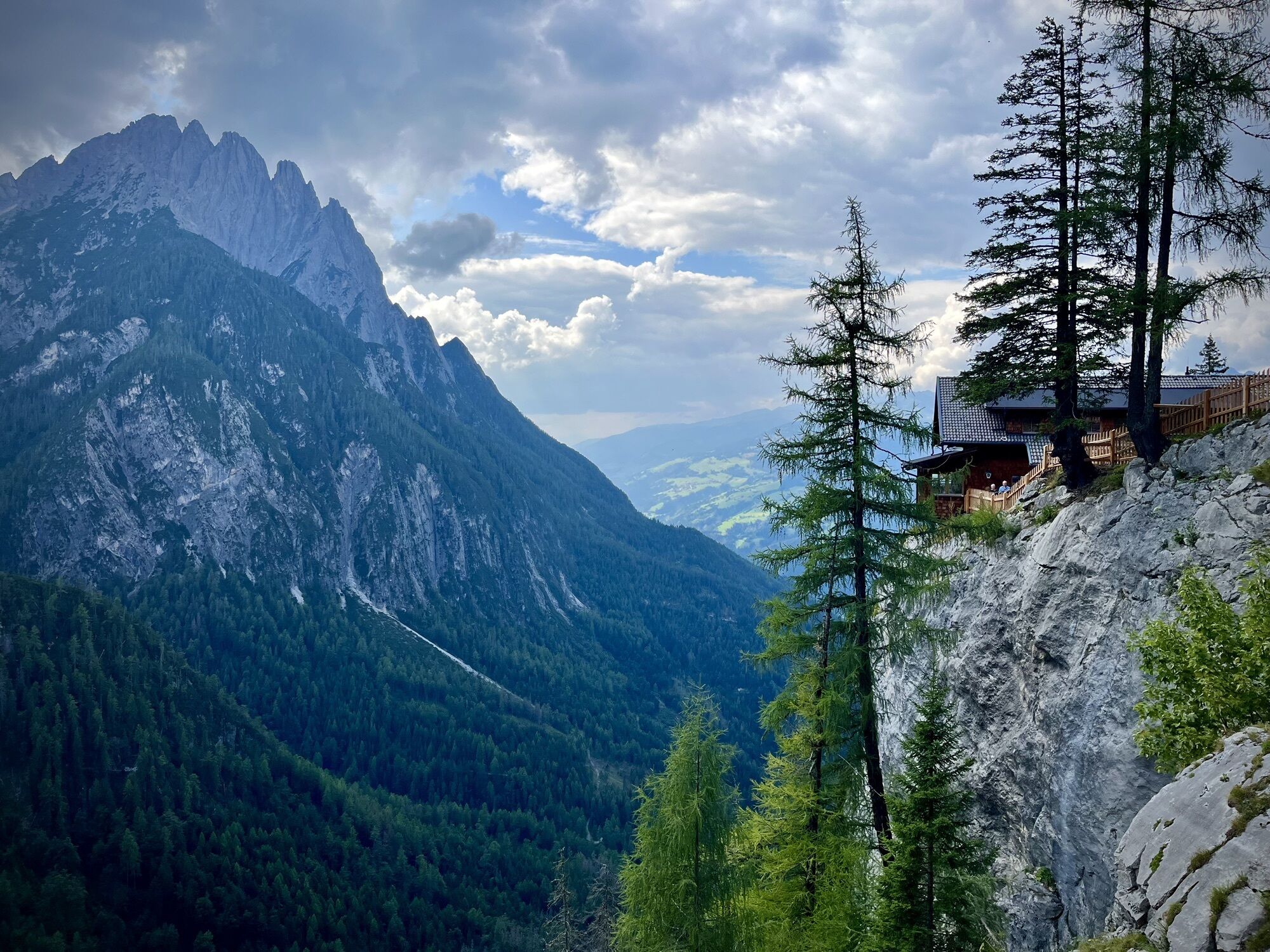
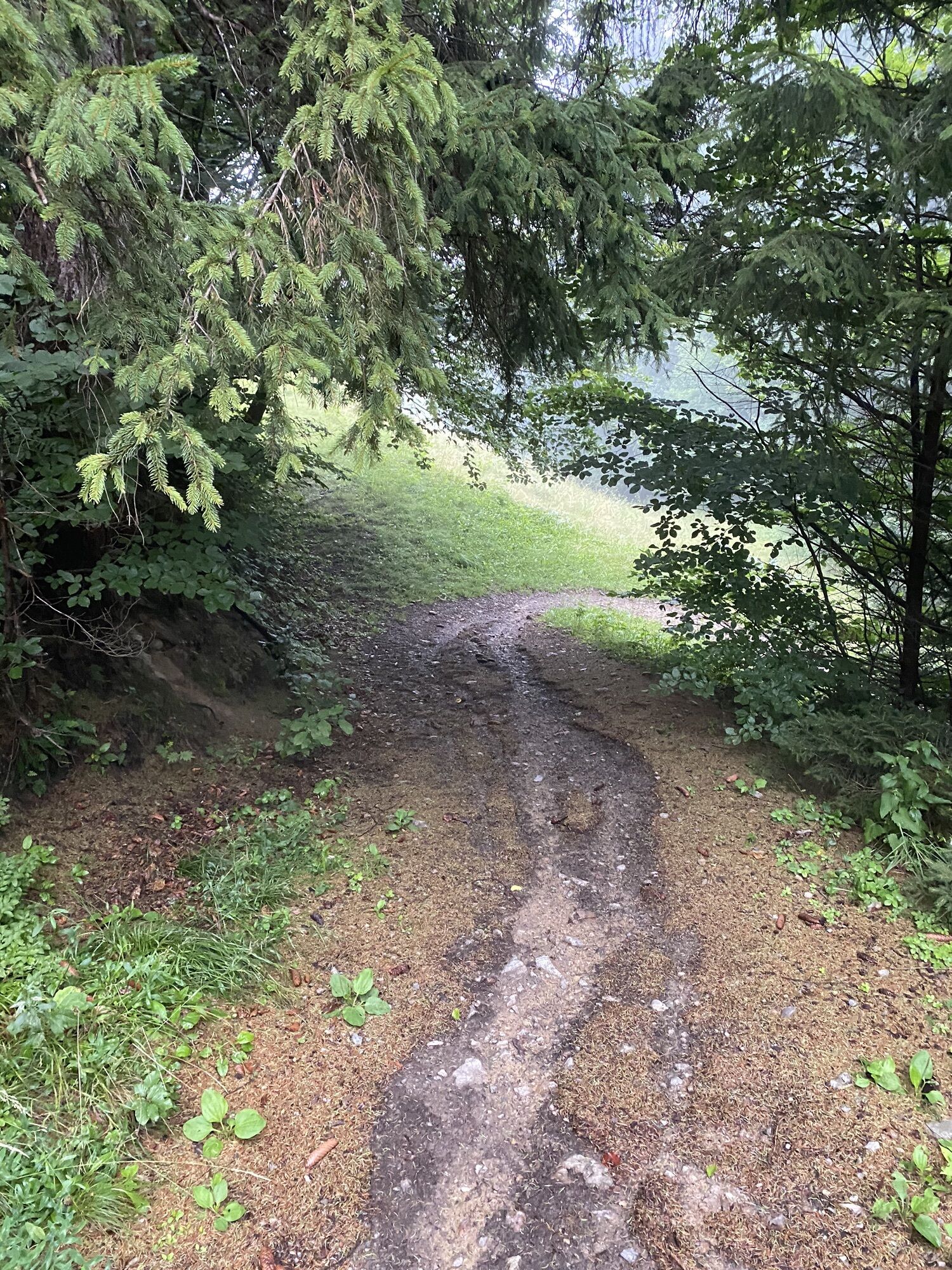
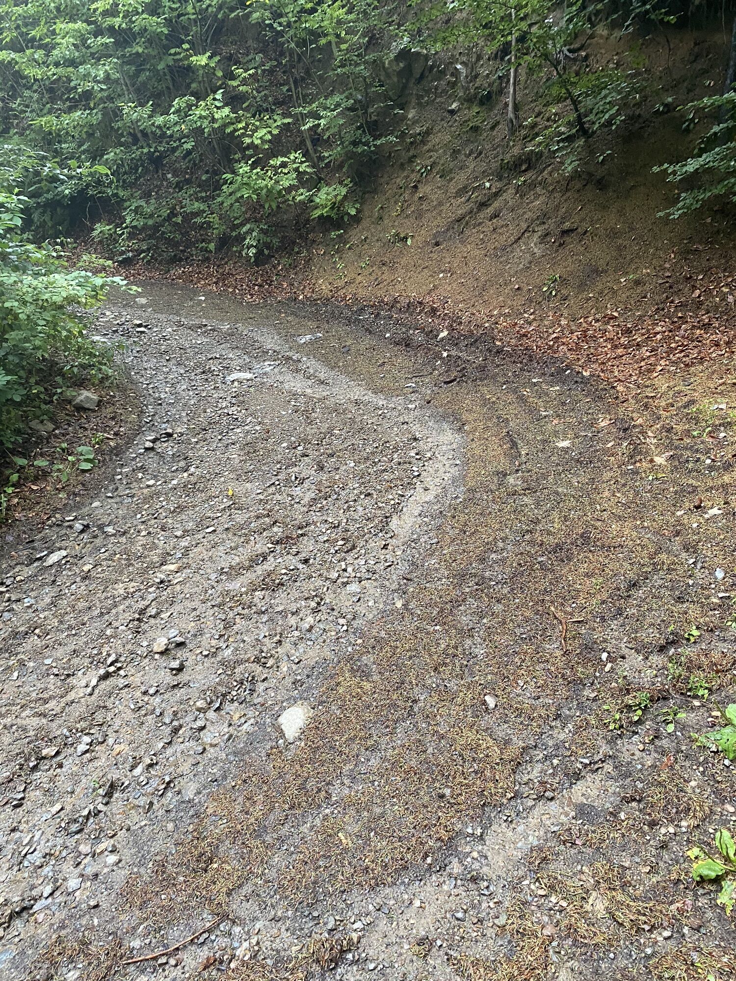
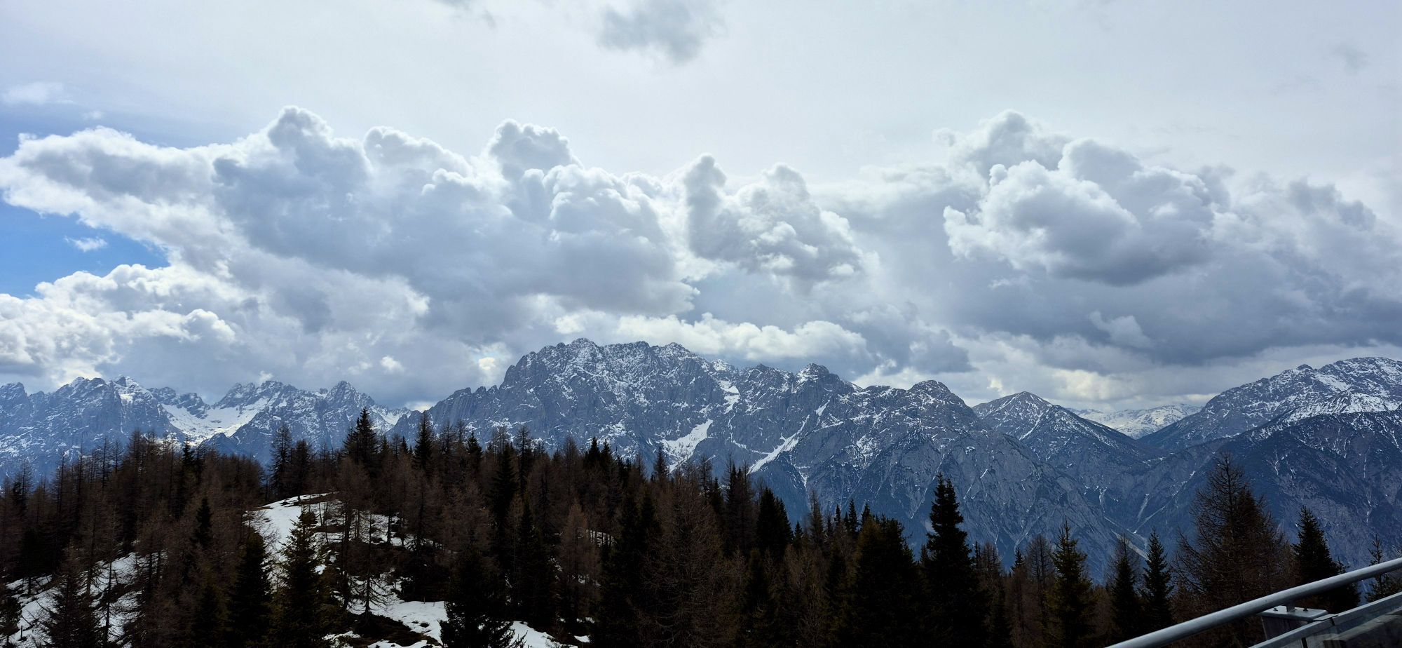
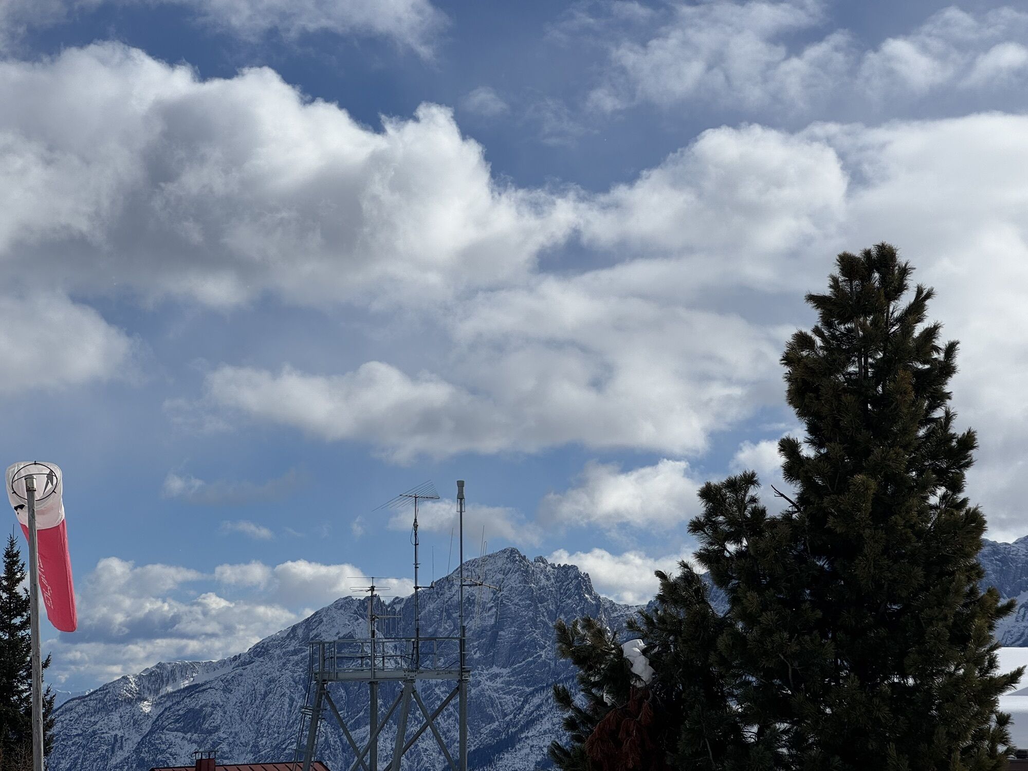
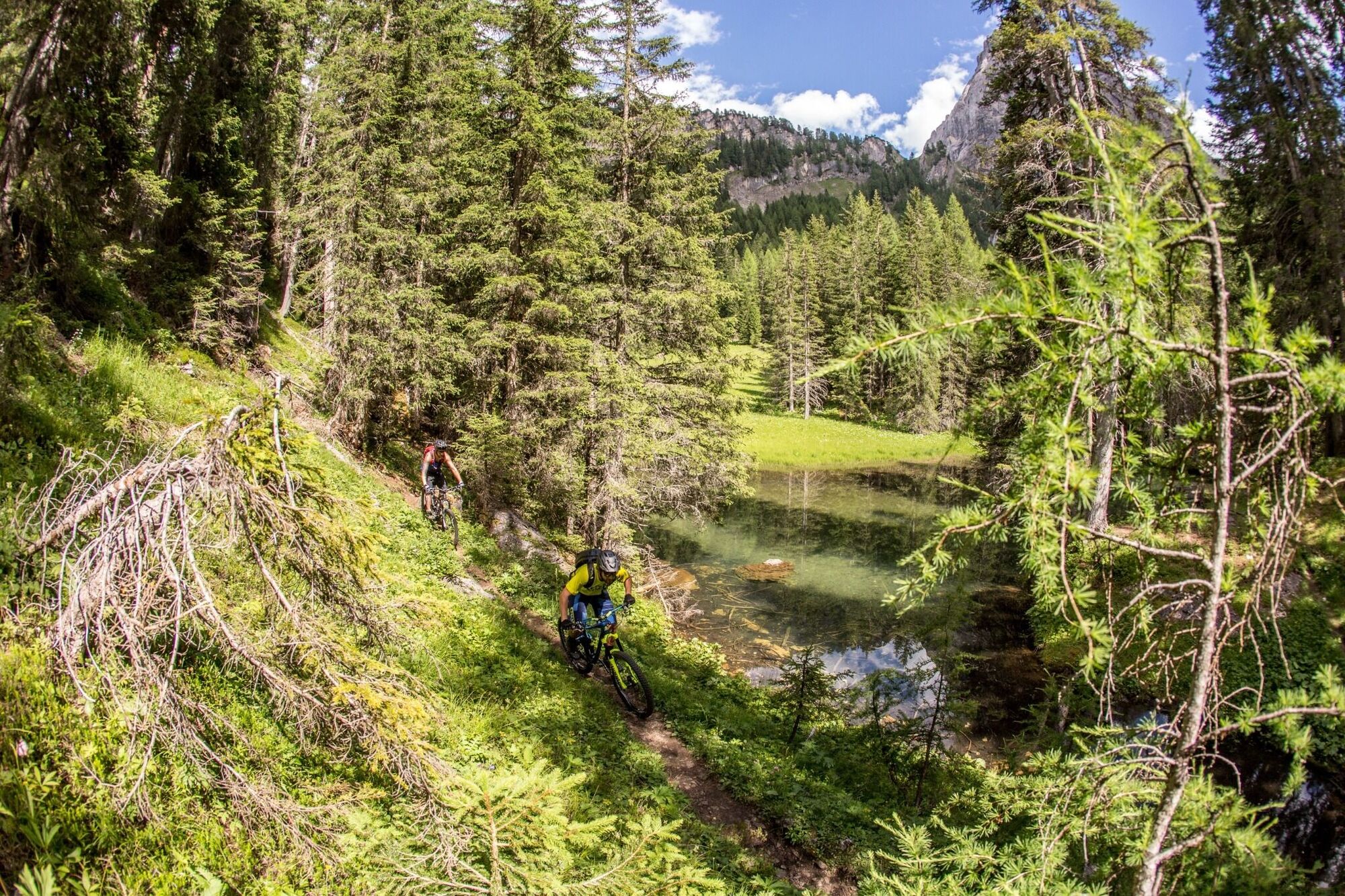
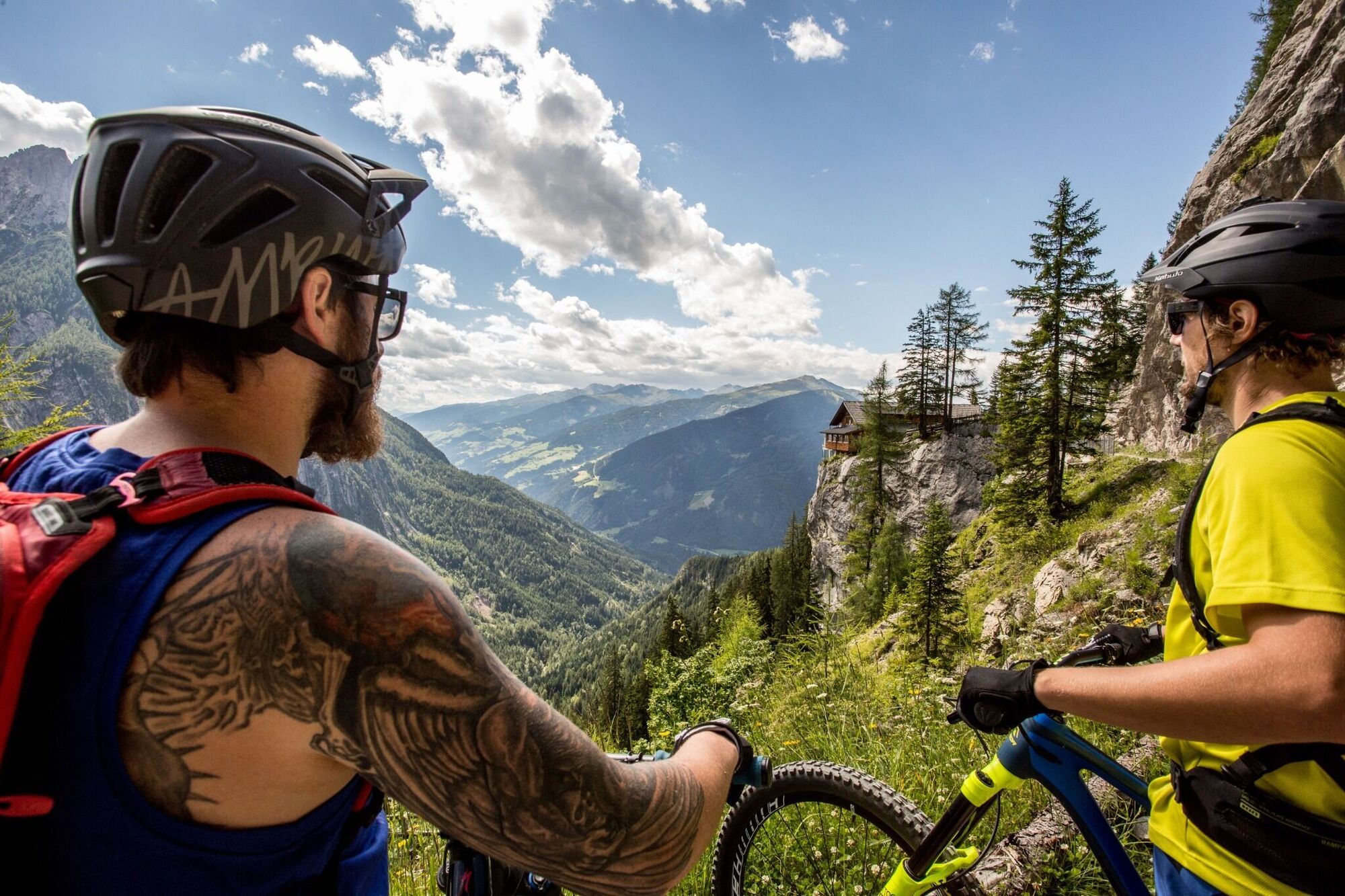
1 day:Starting point for the tour is the train station in Lienz in the town centre. Although the stage is short, the climb is quite tough. After rolling along the Drau at an easy pace the route climbs steeply from Dölsach. With no flat sections, the well-developed forest trail proceeds uphill, finally changing into a section which is very steep and barely rideable. The lodge soon comes into view. Overnight stay: The traditional Anna-Schutzhaus has a few rooms and a dormitory area for nine people. The efforts of the climb are worth it to enjoy the views and the food.
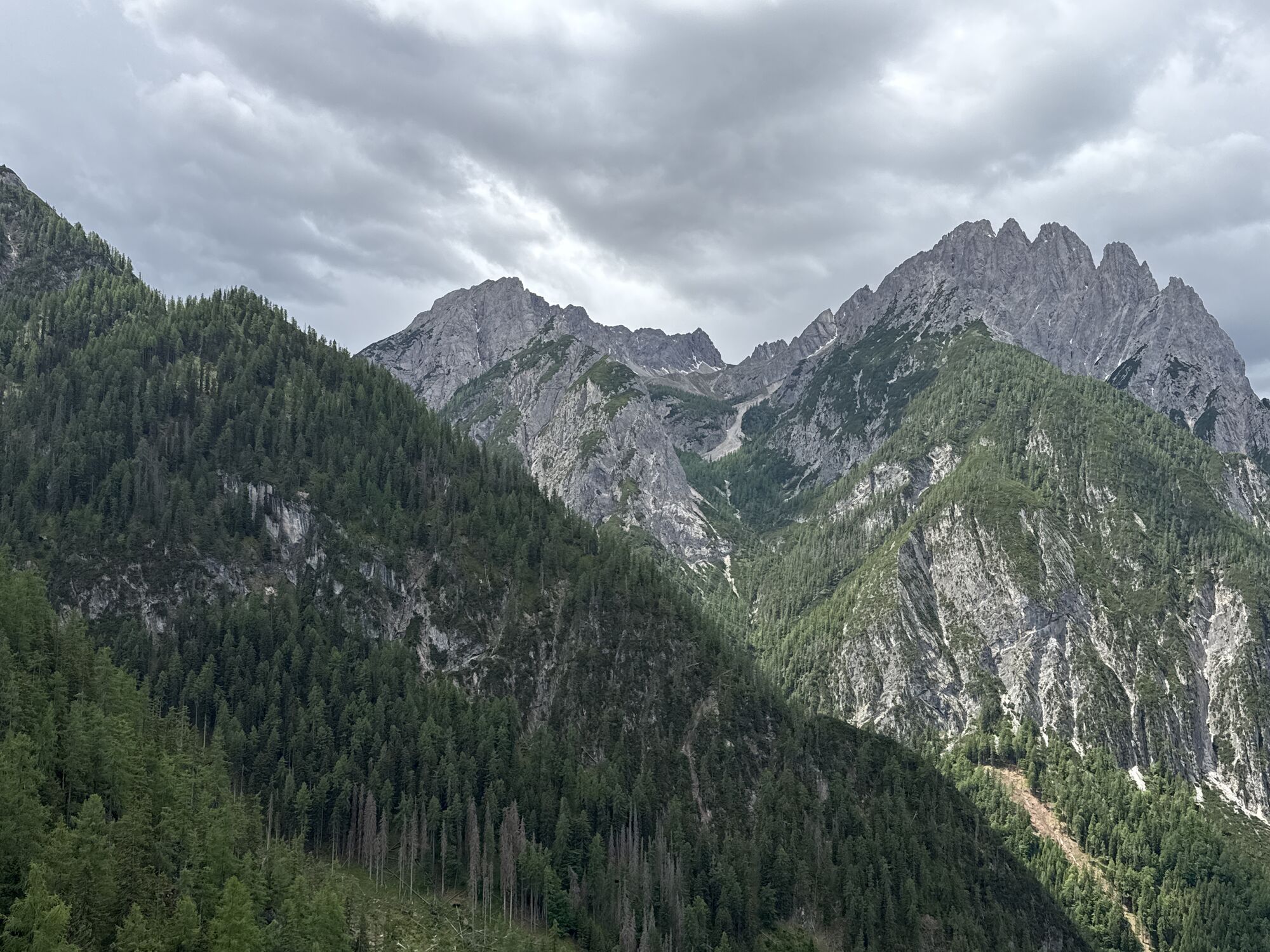
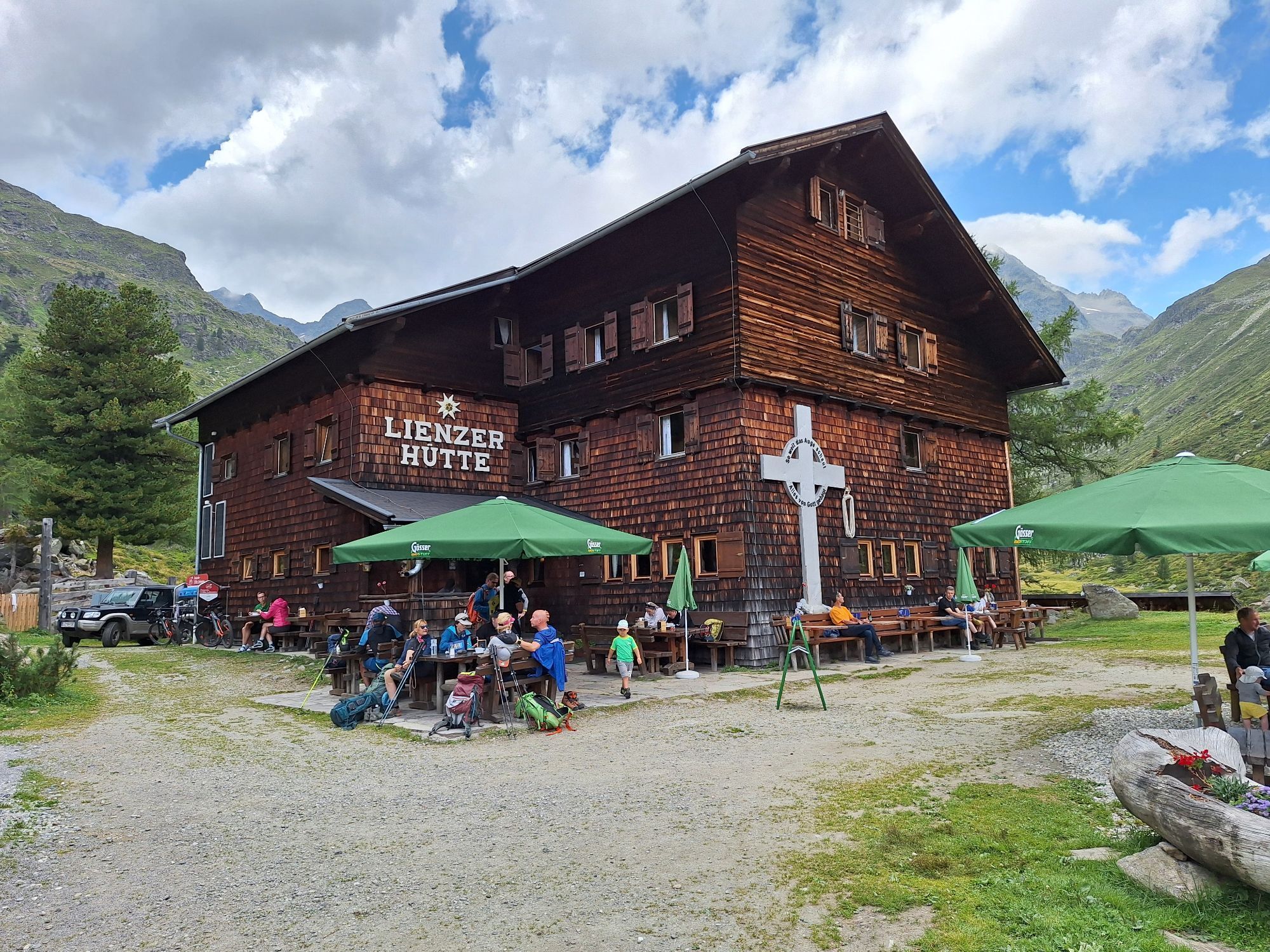
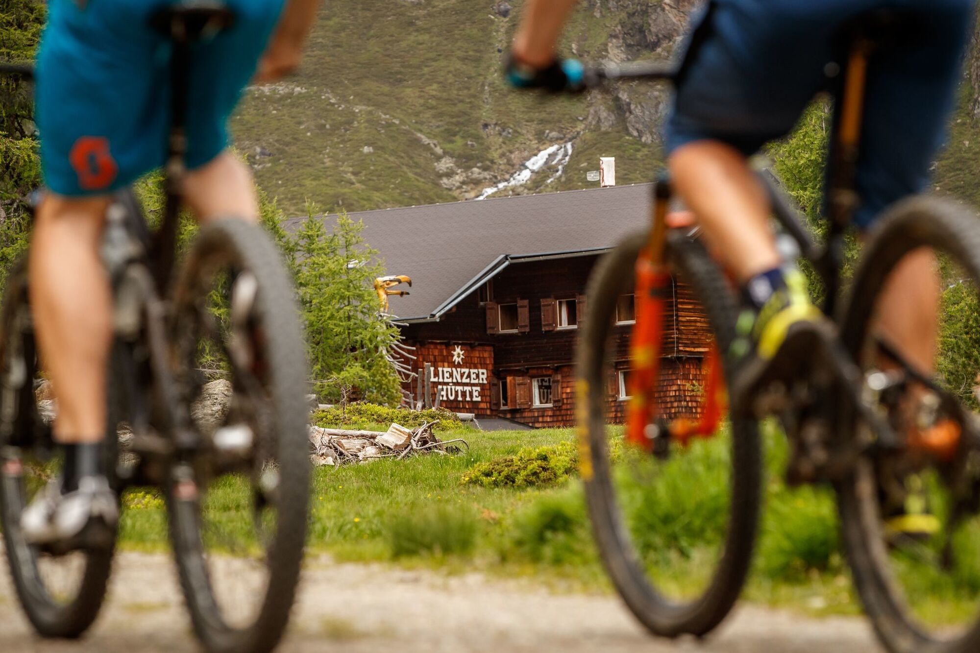
2 day:Initially the bulk of the metres altitude from the day before fade away beneath your wheels, the route then heads up to the Schober Group. After a short section on the main road the route again proceeds uphill into Debantbachtal. Along the river, still on Undulating terrain, later becoming ever steeper on a little toll road heading into the Hohe Tauern National Park. The final few metres up to the Lienzer HuÌtte – the destination for today’s overnight stay – proceeds uphill on rough gravel terrain. Overnight stay: The Lienzer HuÌtte is a lovely Alpine Association lodge which has a traditional kitchen, bedrooms and a dormitory.
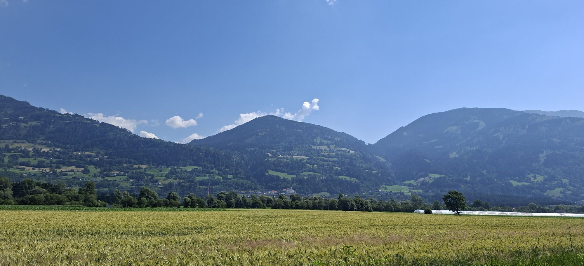
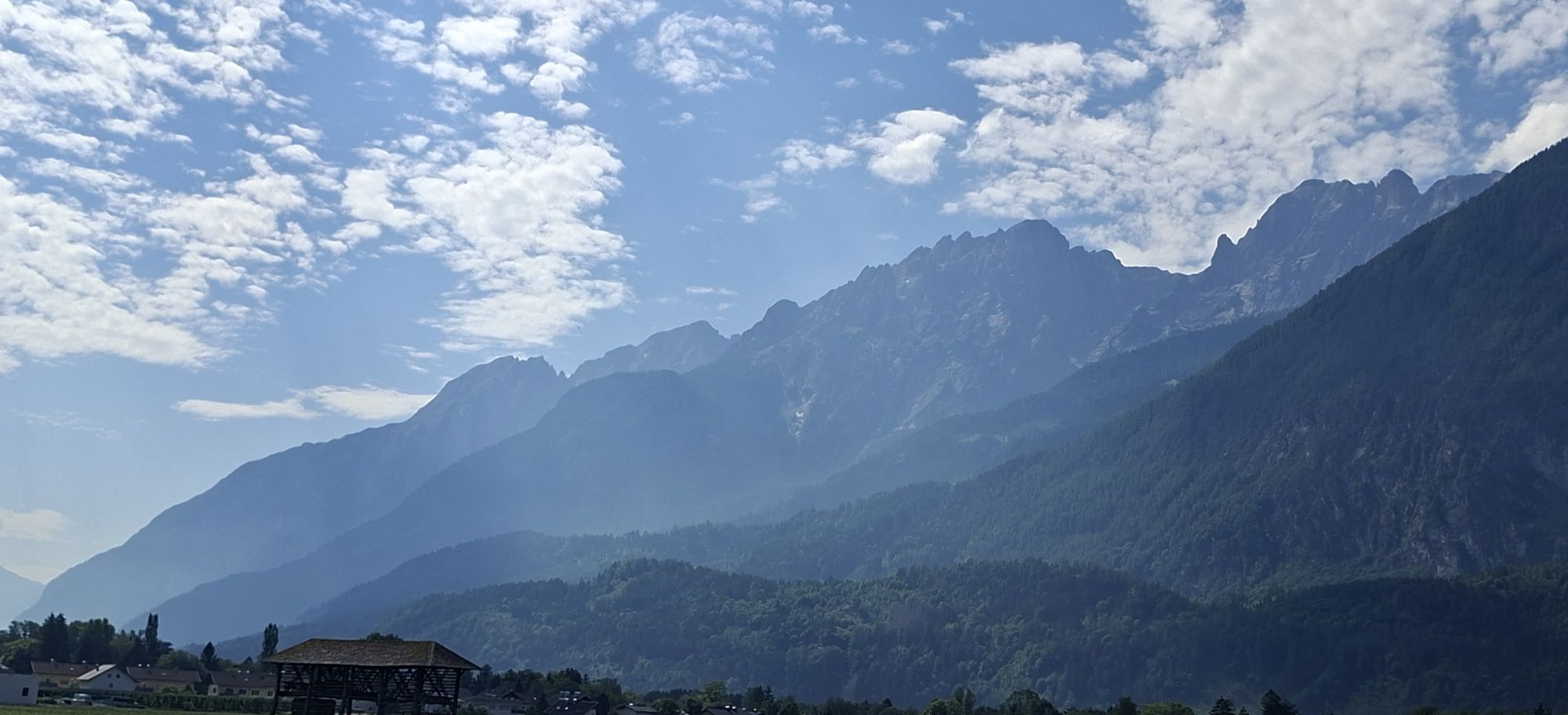
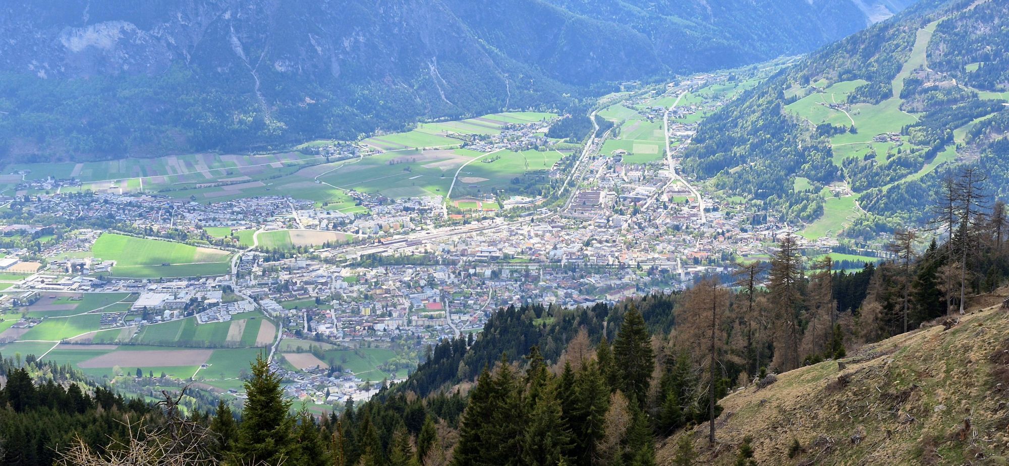
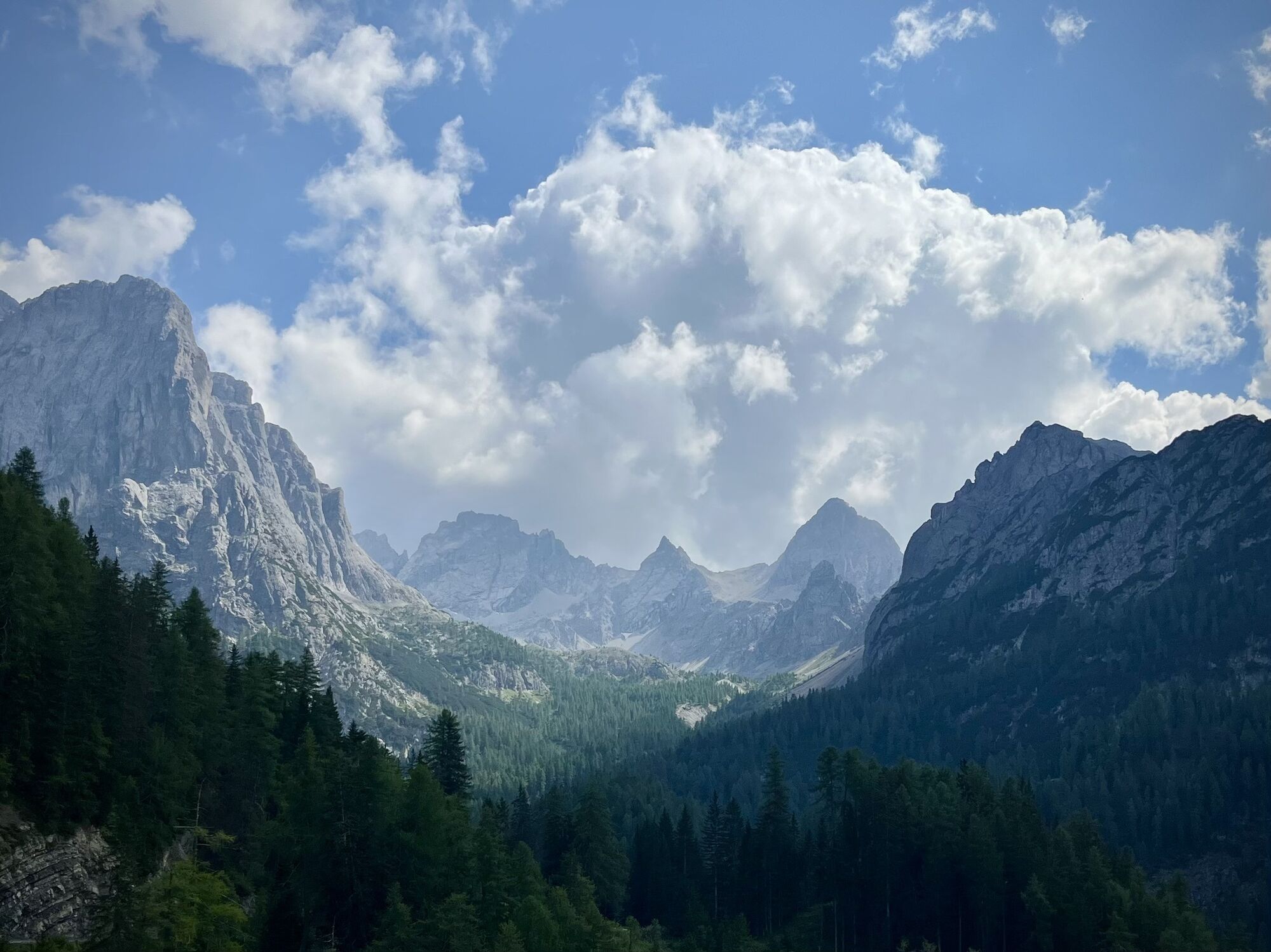
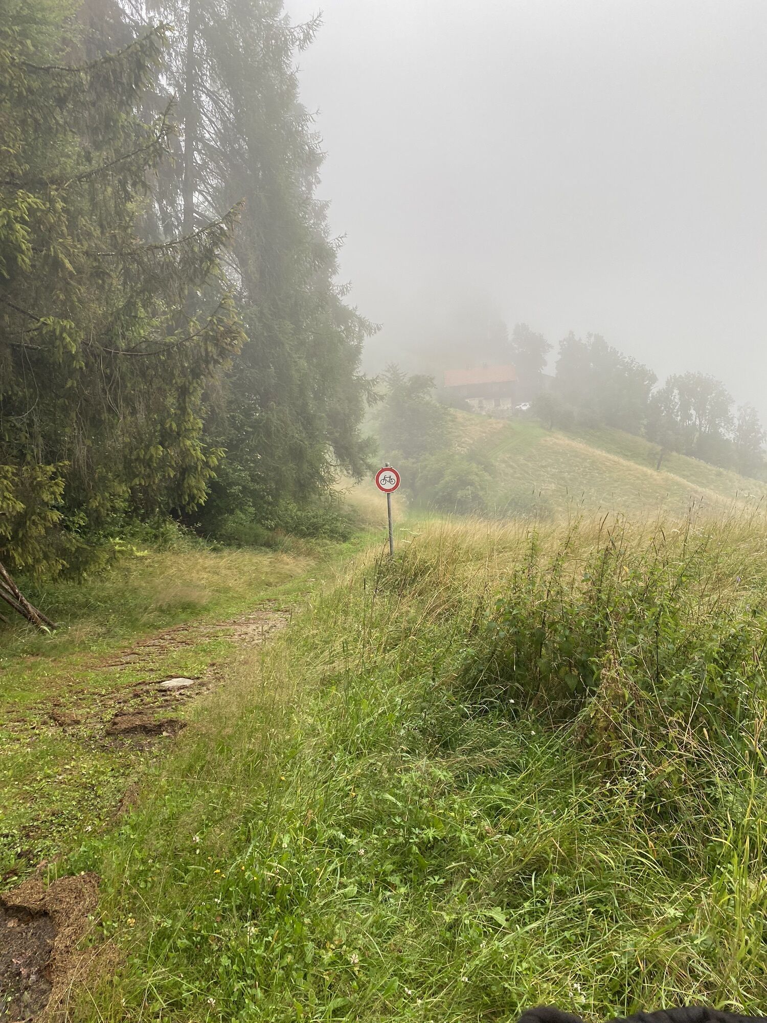
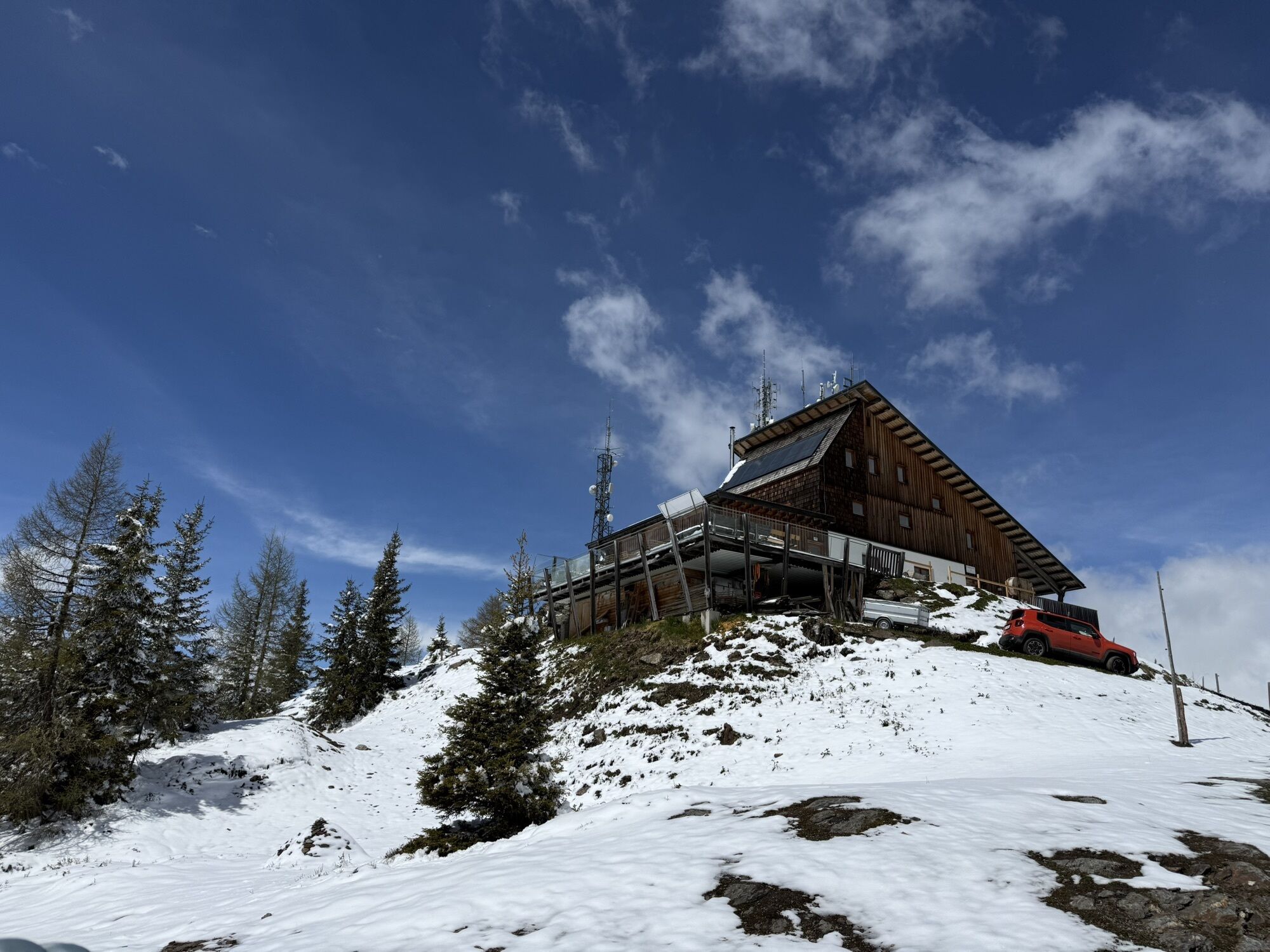
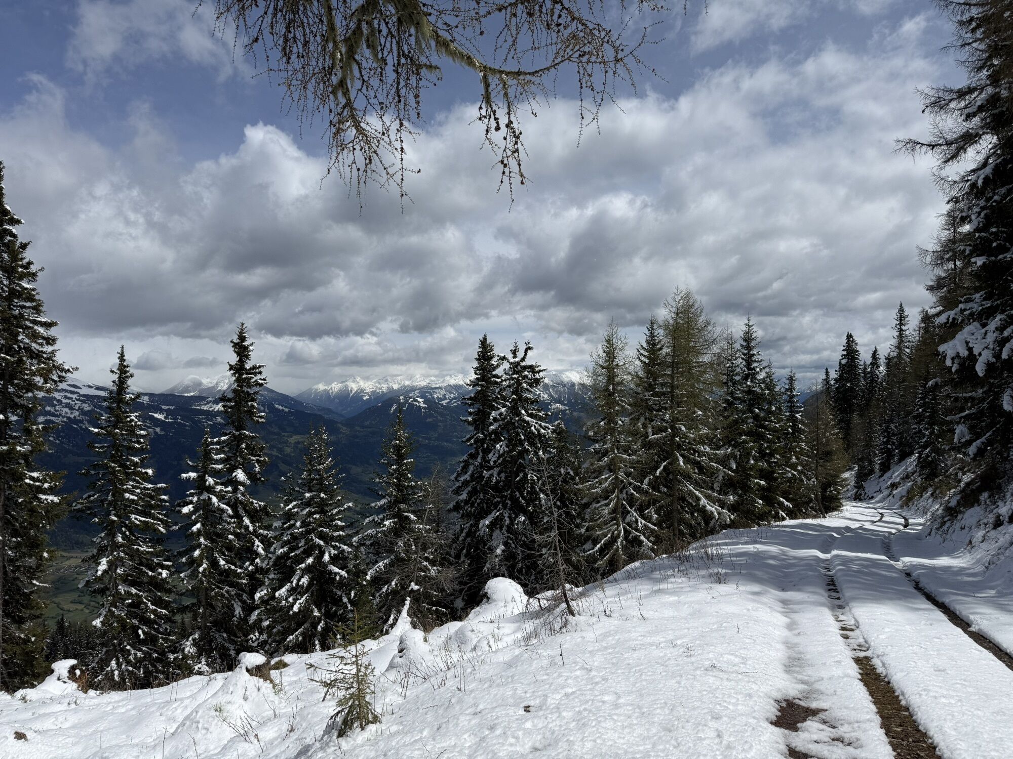
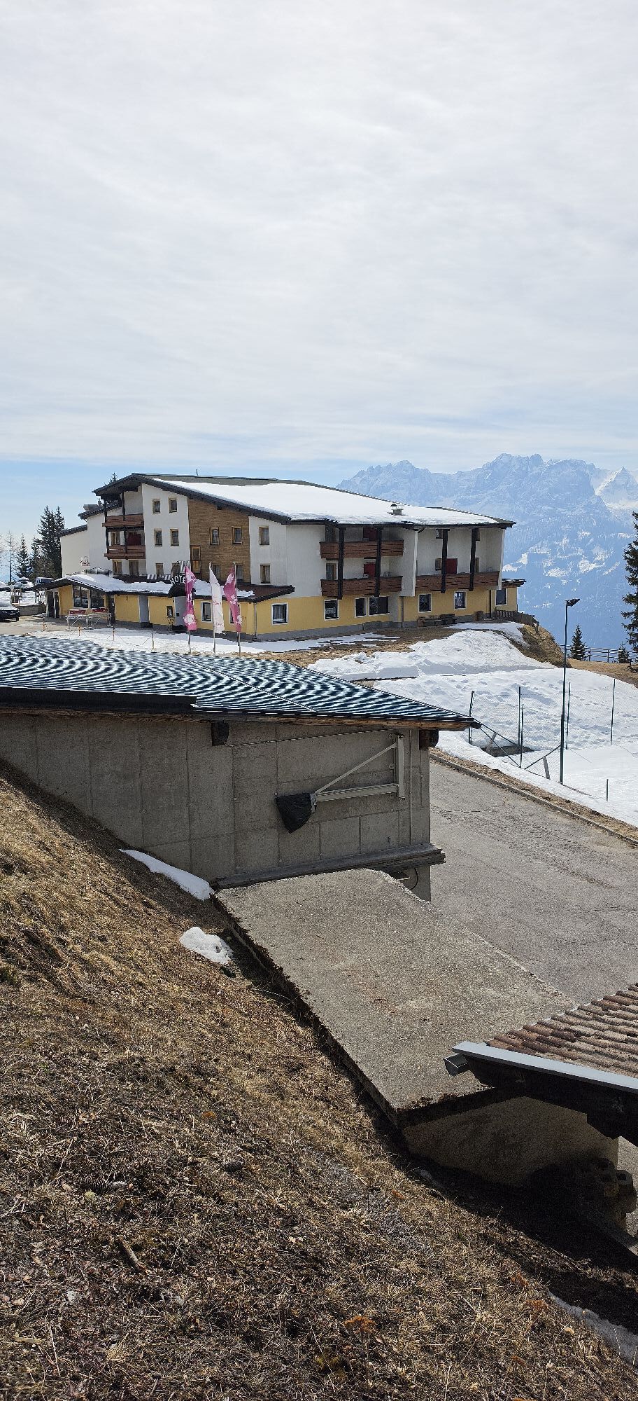
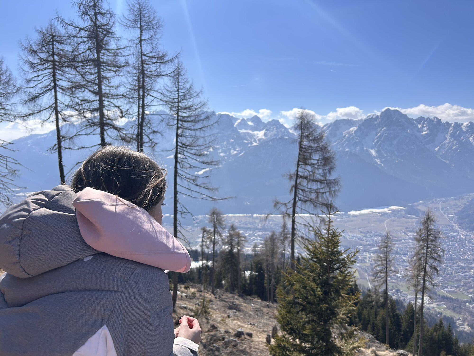
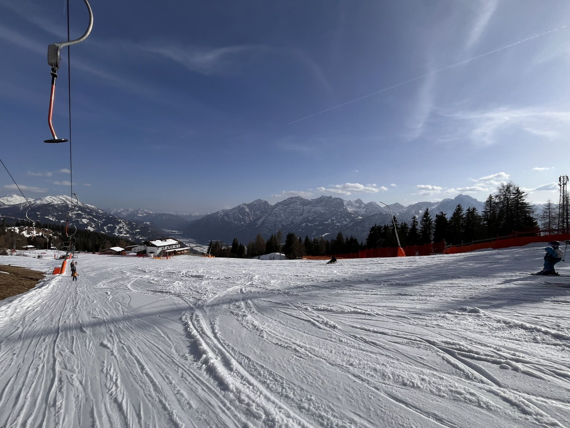
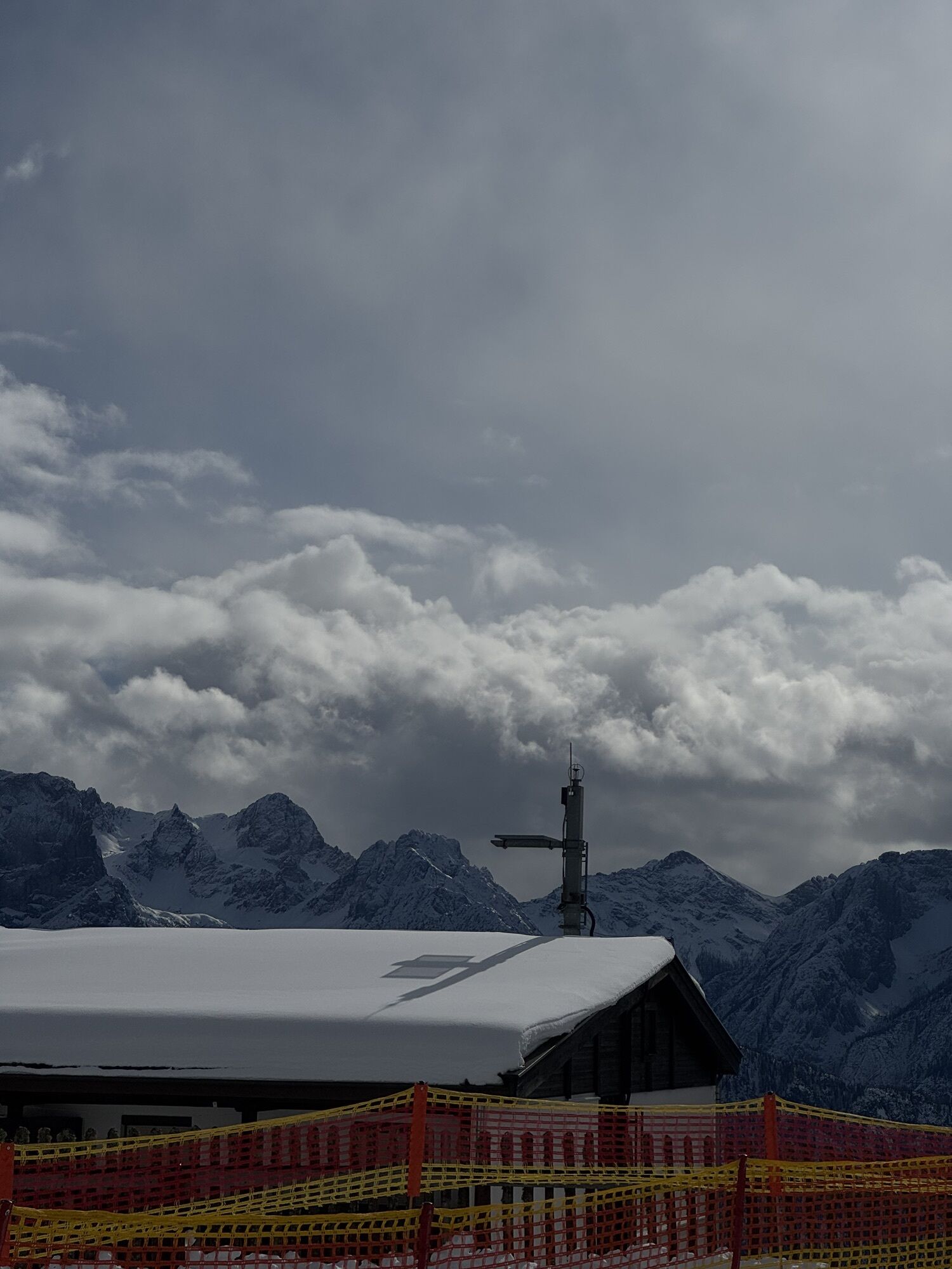
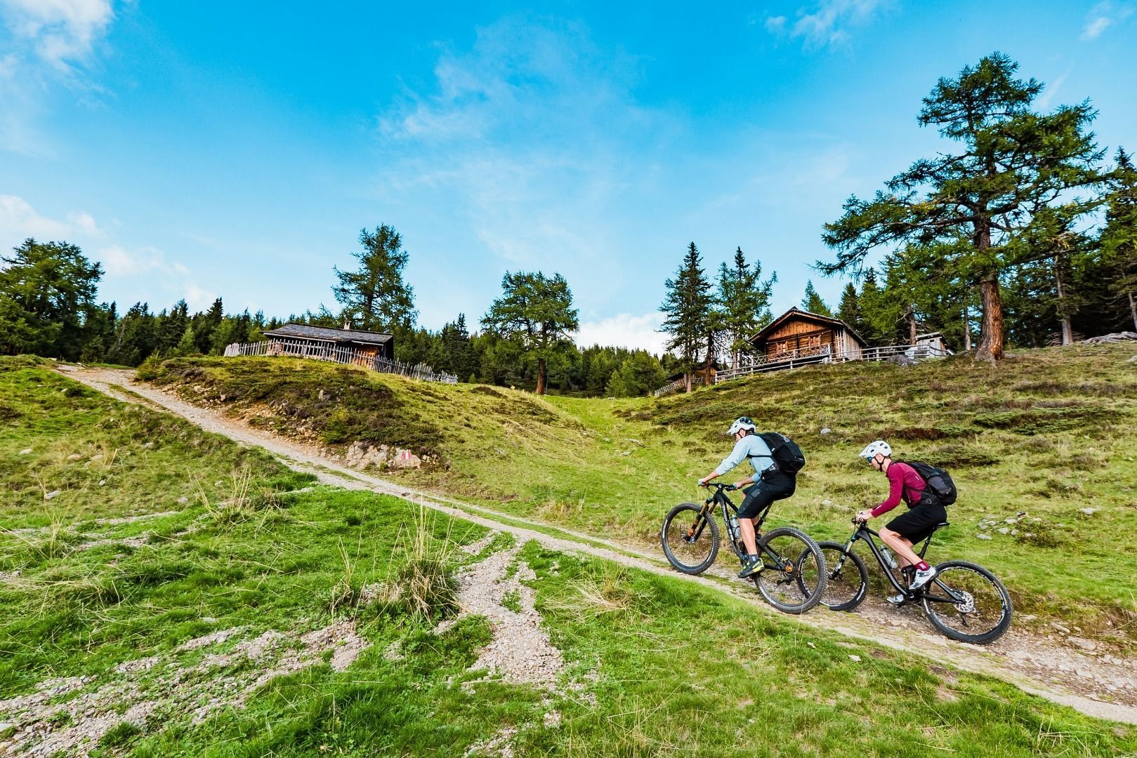
3 day:From the inn head uphill on the route from the previous day until the route branches off to the right on a forest trail. This proceeds up to the ski lifts on the Faschingalm. After an asphalt descent with plenty of hairpin bends winds down to Lienz and across the Drau. From Schloss Bruck the sweat-inducing ascent to the Hochstein begins. This 1300 Metre altitude uphill section proceeds without any flat sections, finally ending right at the summit cross of the Hochstein. The lodge awaits just a few metres next to this. Overnight stay: The contemporary HochsteinhuÌtte is today’s destination.
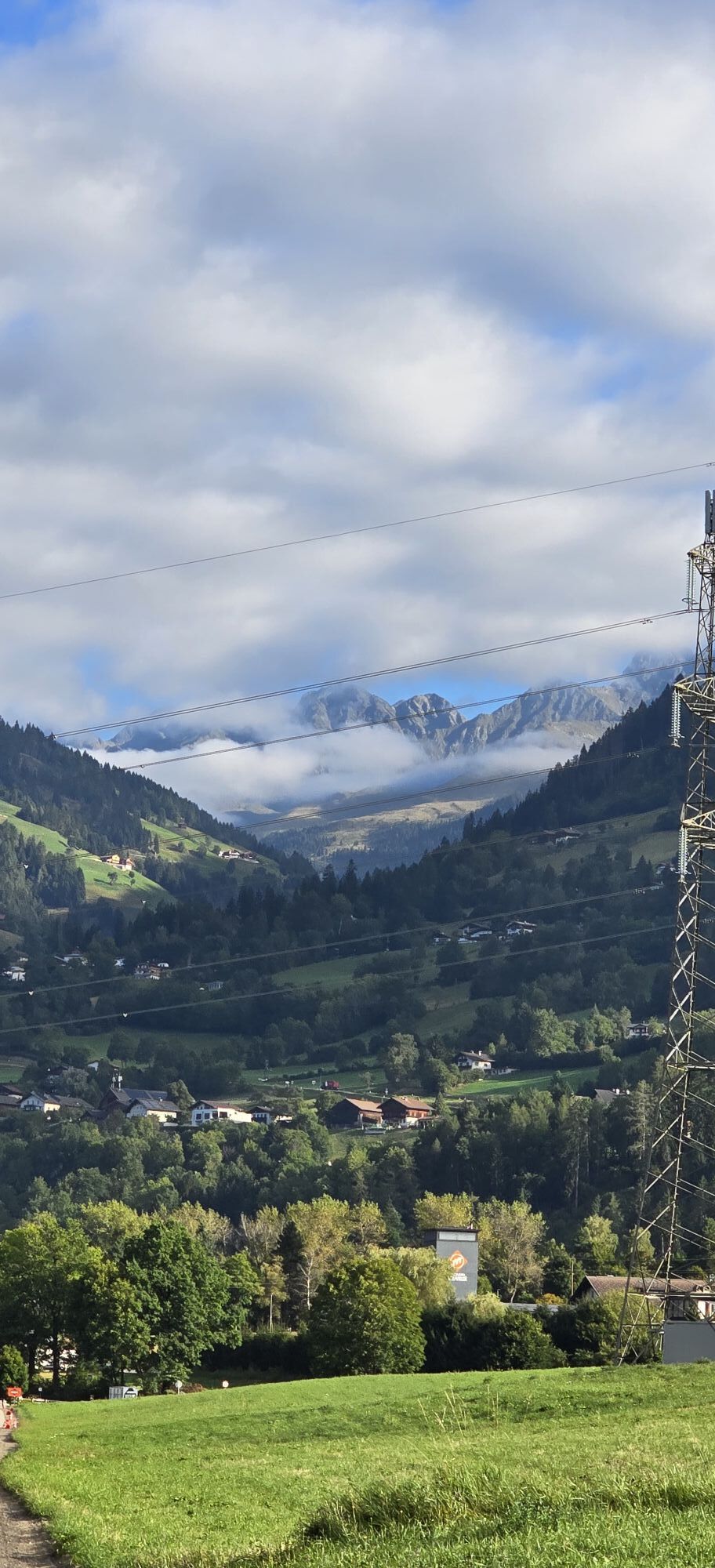
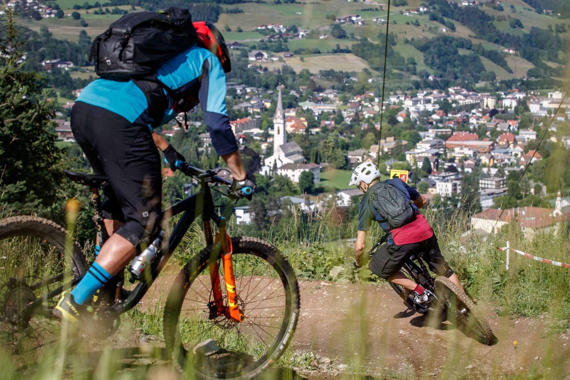
4 day:This day also starts with a descent - from HochsteinhuÌtte Roll down into the valley again and at Leisach
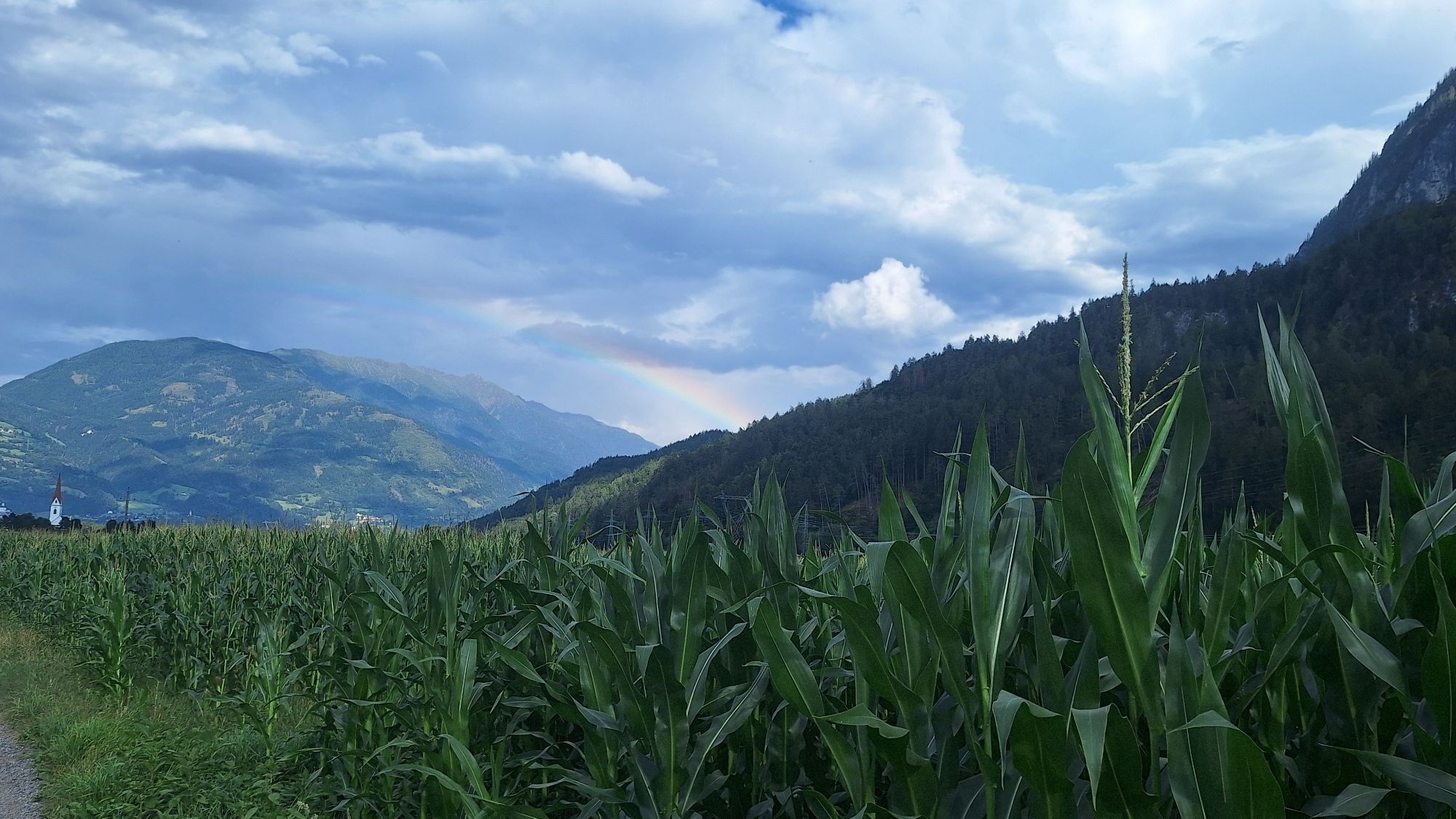
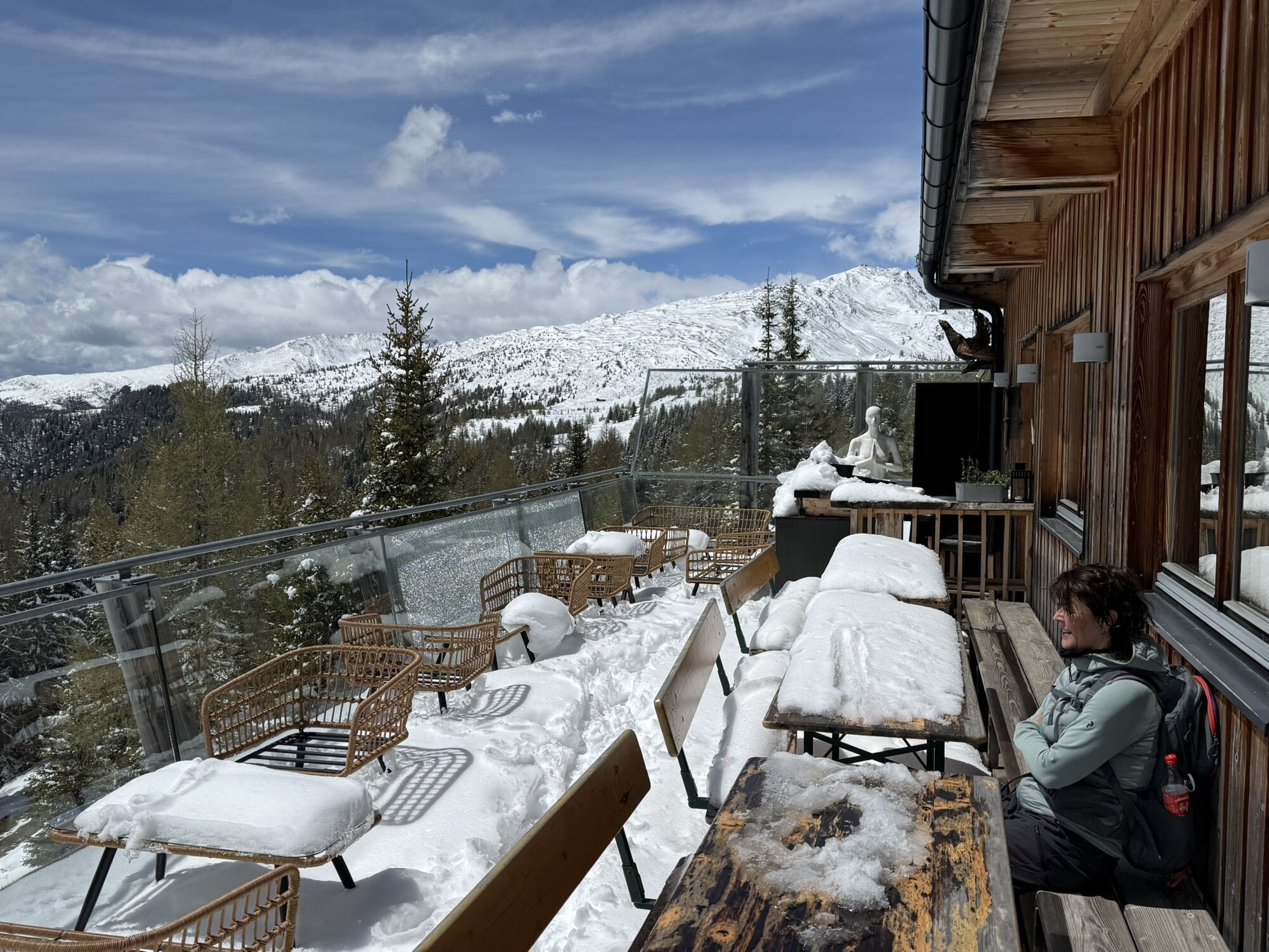
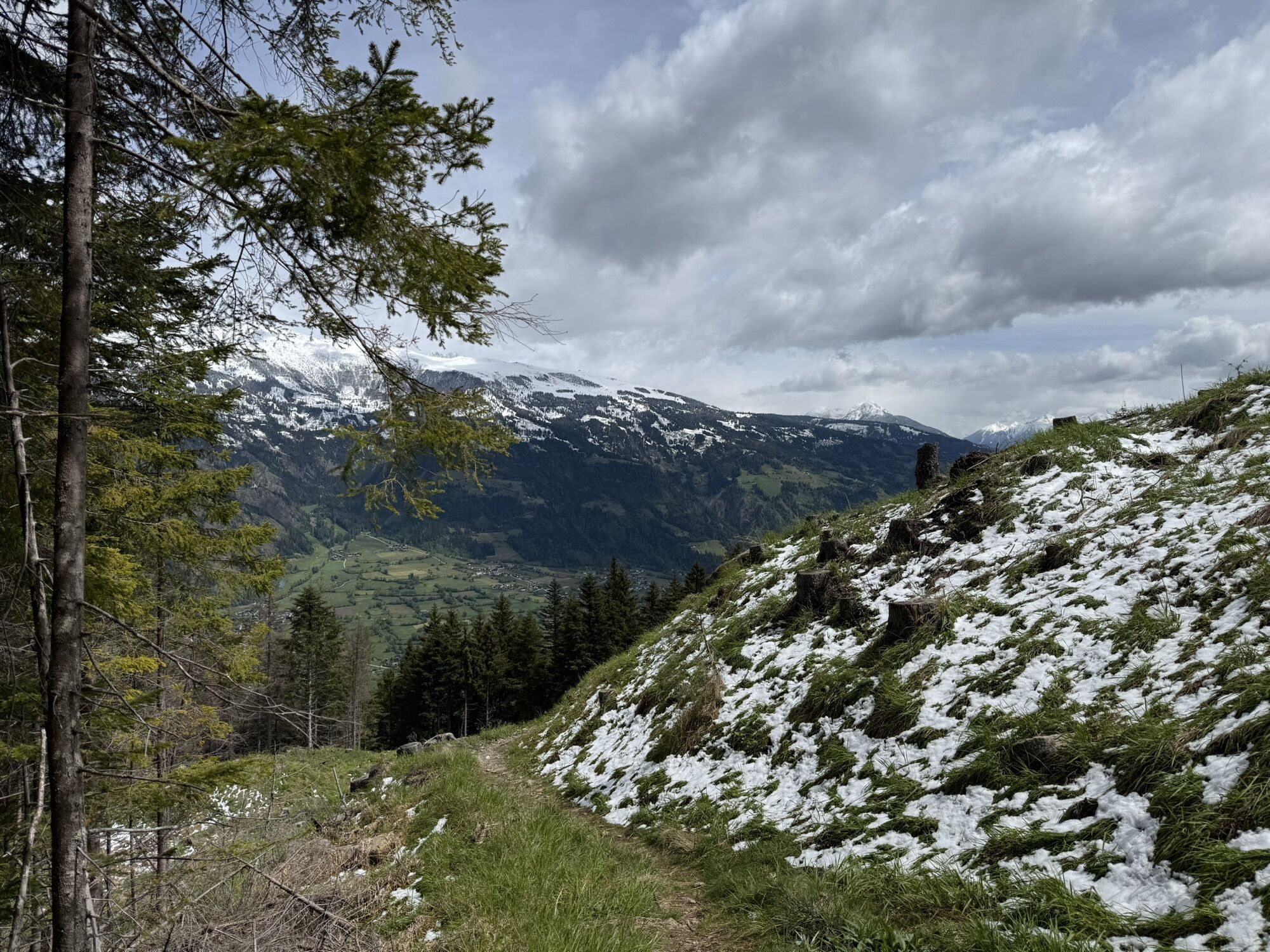
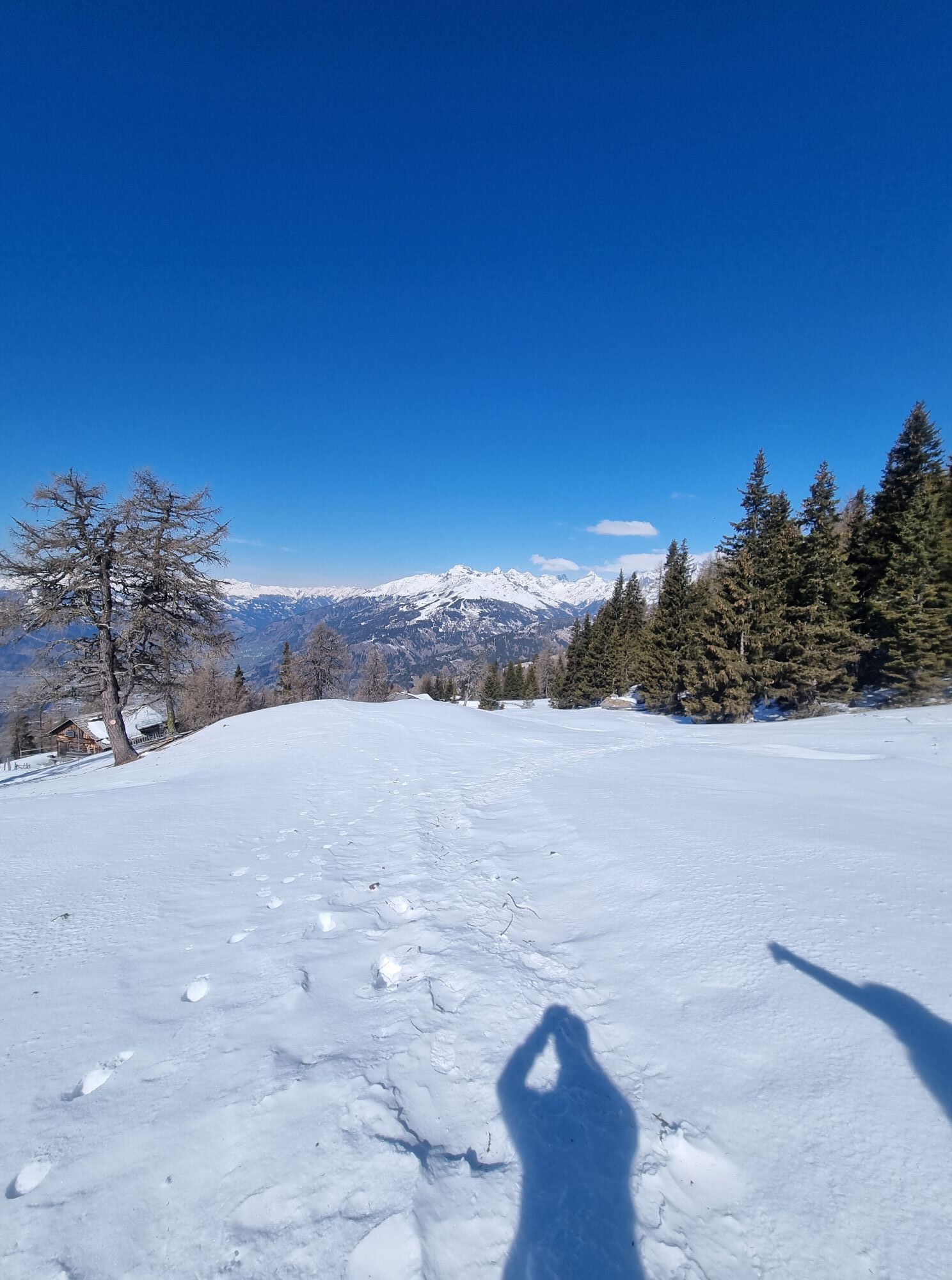
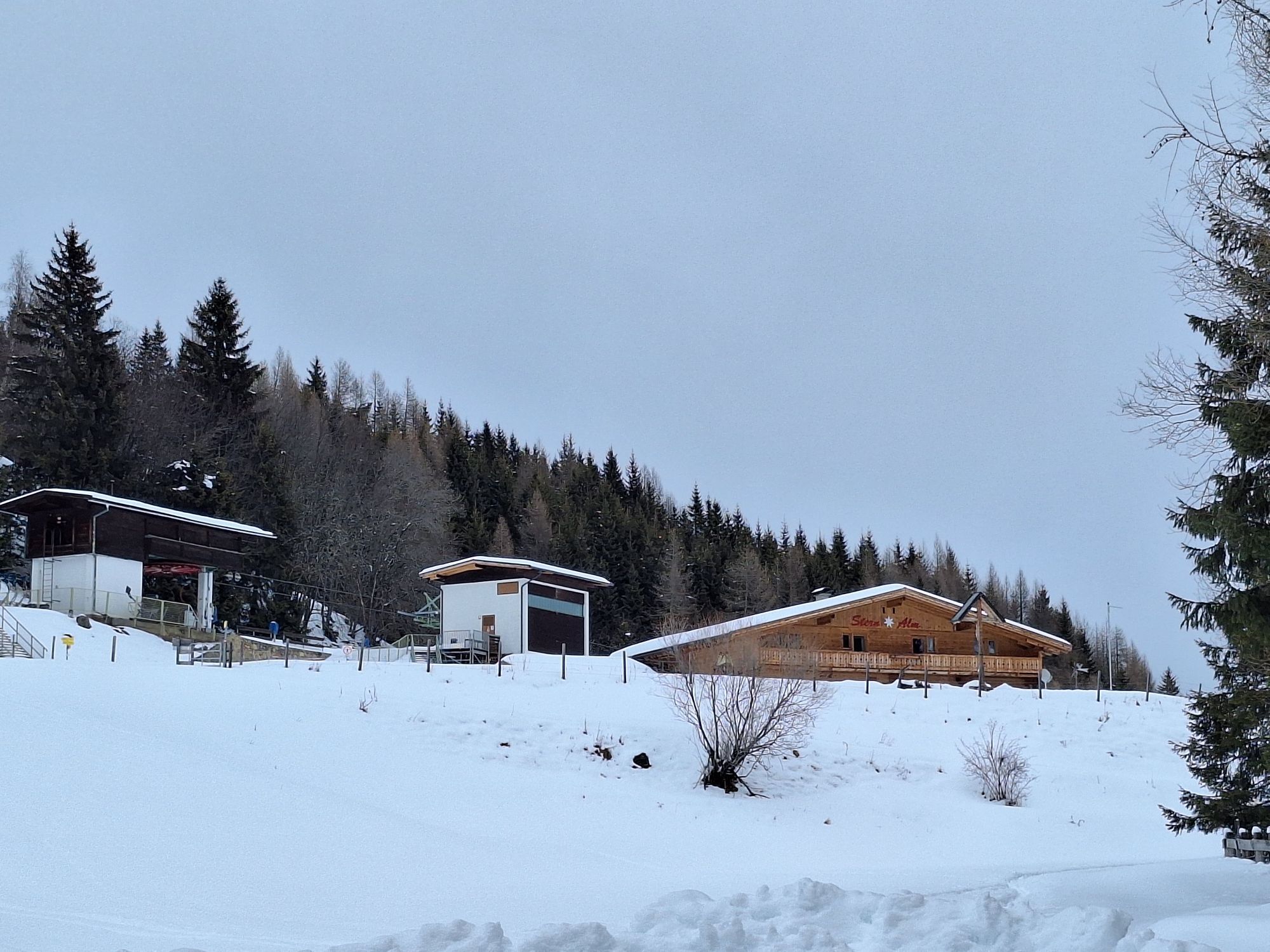
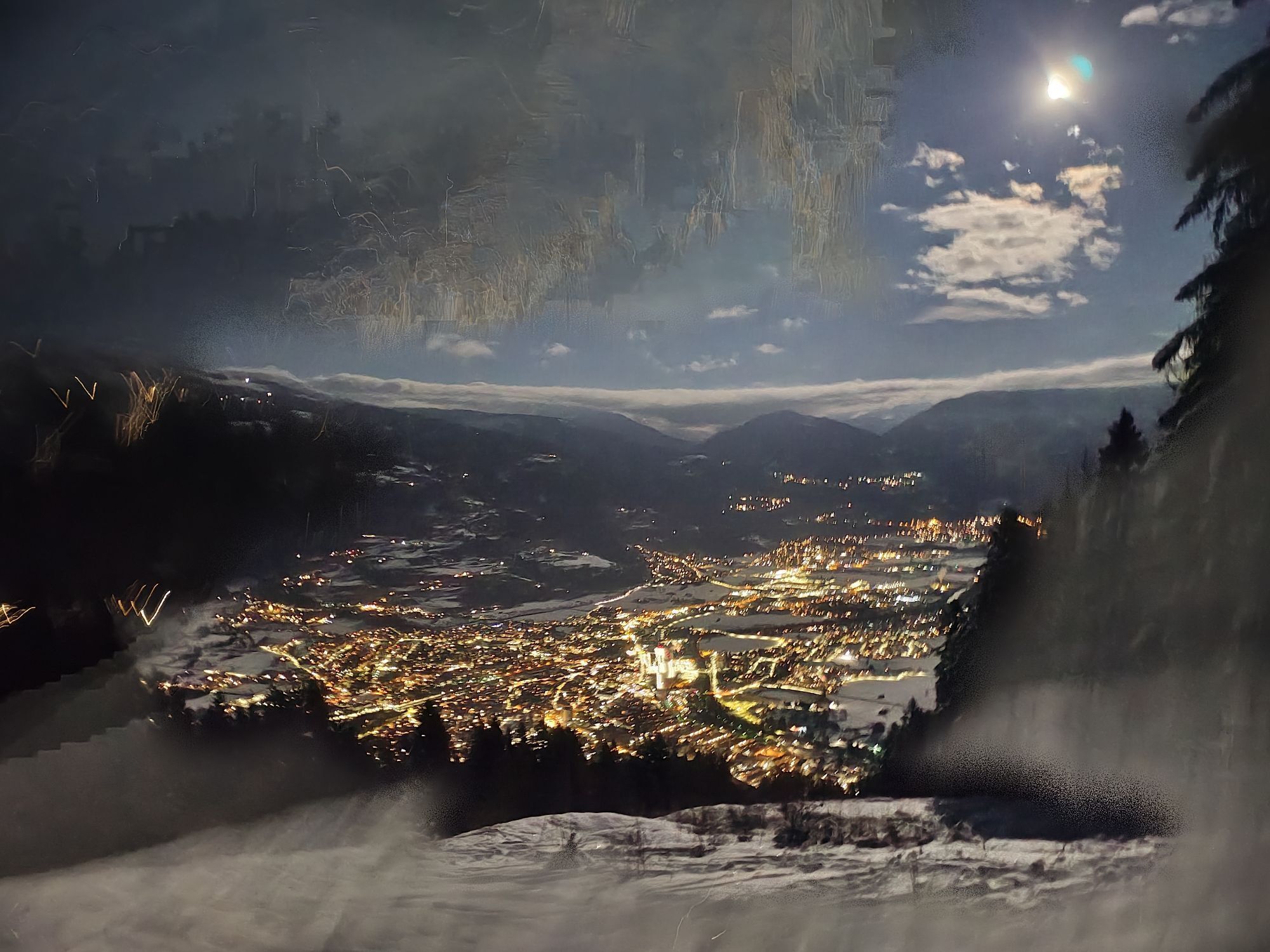
meet the Drau again. The route now proceeds for a while through the valley past the farmsteads in Ulrichsbichl. A bit later an asphalt road branches off to the right which proceeds, climbing steadily, up to Tristacher See. Time for a dip? After another 800 metres altitude you come to a car park. There are still a few metres to cover, then the picturesque setting of the Dolomiten-HuÌtte comes into sight. Overnight stay: The Lienzer Dolomiten-HuÌtte is in a spectacular location on a rocky promontory enjoying views to the Huge cliff face of the Spitzkofel massif.
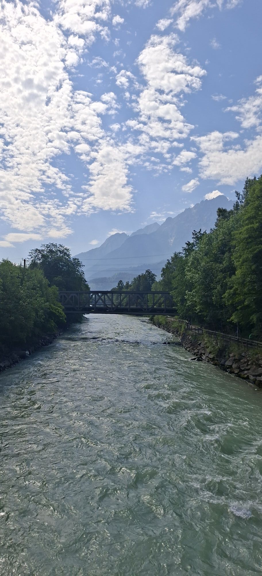
5 day:The final day comes to a leisurely close. There is time left to enjoy a long sumptuous breakfast in the DolomitenhuÌtte. In no time at all the descent Passes on the little asphalt road (watch out for traffic!). Having arrived at the bottom, the Drau proceeds parallel to the cycle path, heading back to Lienz. It is worth enjoying a leisurely stroll through the Old Town area here or paying a visit to the regional market, before making our way back home.
2 day:Initially the bulk of the metres altitude from the day before fade away beneath your wheels, the route then heads up to the Schober Group. After a short section on the main road the route again proceeds uphill into Debantbachtal. Along the river, still on Undulating terrain, later becoming ever steeper on a little toll road heading into the Hohe Tauern National Park. The final few metres up to the Lienzer HuÌtte – the destination for today’s overnight stay – proceeds uphill on rough gravel terrain. Overnight stay: The Lienzer HuÌtte is a lovely Alpine Association lodge which has a traditional kitchen, bedrooms and a dormitory.
3 day:From the inn head uphill on the route from the previous day until the route branches off to the right on a forest trail. This proceeds up to the ski lifts on the Faschingalm. After an asphalt descent with plenty of hairpin bends winds down to Lienz and across the Drau. From Schloss Bruck the sweat-inducing ascent to the Hochstein begins. This 1300 Metre altitude uphill section proceeds without any flat sections, finally ending right at the summit cross of the Hochstein. The lodge awaits just a few metres next to this. Overnight stay: The contemporary HochsteinhuÌtte is today’s destination.
4 day:This day also starts with a descent - from HochsteinhuÌtte Roll down into the valley again and at Leisach
meet the Drau again. The route now proceeds for a while through the valley past the farmsteads in Ulrichsbichl. A bit later an asphalt road branches off to the right which proceeds, climbing steadily, up to Tristacher See. Time for a dip? After another 800 metres altitude you come to a car park. There are still a few metres to cover, then the picturesque setting of the Dolomiten-HuÌtte comes into sight. Overnight stay: The Lienzer Dolomiten-HuÌtte is in a spectacular location on a rocky promontory enjoying views to the Huge cliff face of the Spitzkofel massif.
5 day:The final day comes to a leisurely close. There is time left to enjoy a long sumptuous breakfast in the DolomitenhuÌtte. In no time at all the descent Passes on the little asphalt road (watch out for traffic!). Having arrived at the bottom, the Drau proceeds parallel to the cycle path, heading back to Lienz. It is worth enjoying a leisurely stroll through the Old Town area here or paying a visit to the regional market, before making our way back home.
Trasa
Anna-Schutzhaus
(1.991 m)
Úkryt
17,6 km
Lienzer Hütte
(1.980 m)
Úkryt
42,0 km
Gedenkkreuz Ruemitsch
(1.596 m)
Místo konání bohoslužeb
52,4 km
Sankt Andrae
(689 m)
Místo konání bohoslužeb
67,5 km
Hochsteinhütte
(2.025 m)
Úkryt
77,4 km
Goggkreuz
(695 m)
Summit
89,7 km
Dolomitenhütte
(1.610 m)
Úkryt
101,3 km
Trasa
4 hut tour in Osttirol
heavy
Mountainbike
112,56
km
Lienz
(674 m)
Železniční stanice
0,0 km
Gasthaus Marinelli
(652 m)
Restaurace
5,9 km
St. Georg
(748 m)
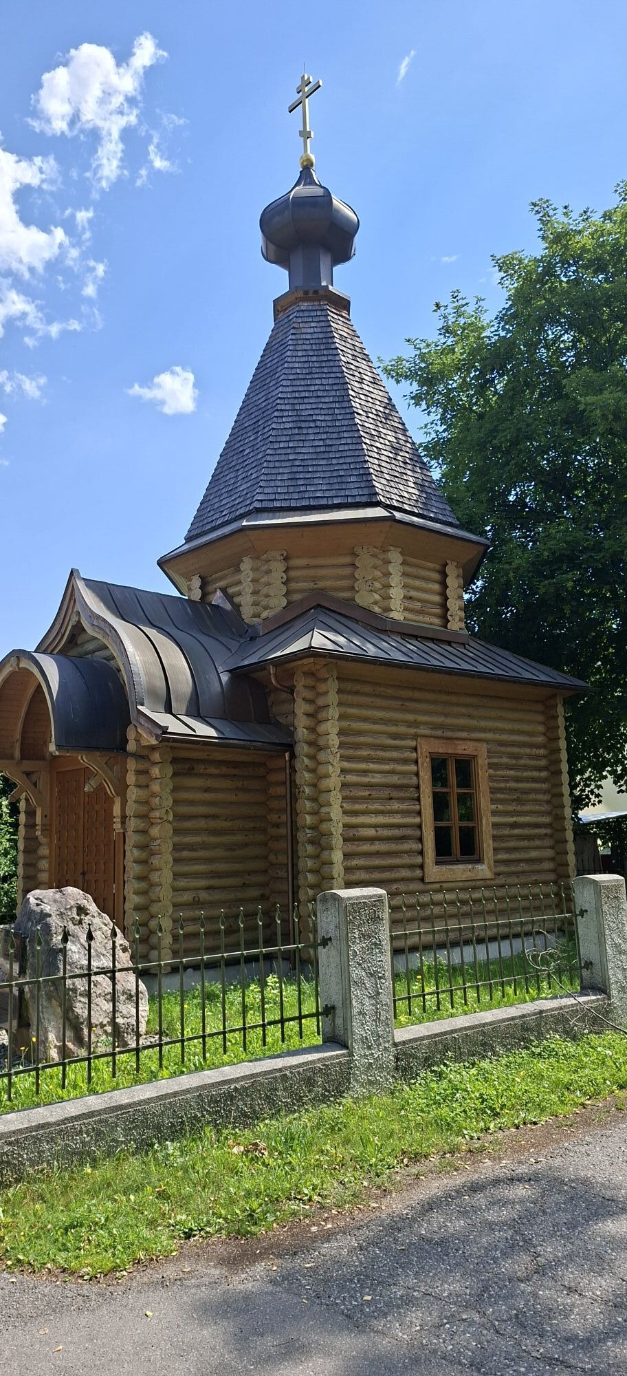
Místo konání bohoslužeb
7,4 km
Gödnach
(712 m)
Vesnice
8,1 km
Aichholz-Bachetzen
(746 m)
Koridor/terén
8,1 km
Görtschach
(754 m)
Vesnice
8,5 km
Anna-Schutzhaus
(1.991 m)
Úkryt
17,6 km
Veganer Gasthof zum Ederplan im Kulturhaus Klanggestalt
(1.122 m)
Restaurace
25,7 km
Lourdeskapelle
(1.104 m)
Místo konání bohoslužeb
25,7 km
Stronach
(1.099 m)
Vesnice
25,8 km
Iselsberg
(1.096 m)
Vesnice
27,3 km
Obergöriach
(894 m)
Vesnice
28,2 km
Lienzer Hütte
(1.980 m)
Úkryt
42,0 km
Debanttal
(1.463 m)
Koridor/terén
48,4 km
Gedenkkreuz Ruemitsch
(1.596 m)
Místo konání bohoslužeb
52,4 km
Faschingalm
(1.662 m)
Restaurace
54,3 km
Faschingalmbahn
(1.672 m)
Stanice gondoly
54,6 km
Faschingalm
(1.662 m)
Vypořádání
54,9 km
Alpengasthof Bidner
(1.777 m)
Restaurace
56,2 km
Pepo's am Berg
(1.823 m)
Restaurace
56,6 km
Zettersfeld
(1.825 m)
Vypořádání
56,7 km
die Alm
(1.831 m)
Restaurace
56,8 km
Prappernitze
(1.012 m)
Vesnice
64,7 km
Oberdorf
(946 m)
Vesnice
65,2 km
Zauche
(878 m)
Vesnice
65,8 km
Patriasdorf
(733 m)
Vesnice
67,0 km
Lienz
(674 m)
Město
67,5 km
Sankt Andrae
(689 m)
Místo konání bohoslužeb
67,5 km
Klösterle
(676 m)
Místo konání bohoslužeb
68,0 km
Neuapostolische Kirche Lienz
(679 m)
Místo konání bohoslužeb
68,0 km
Jagn Kreuzl
(1.397 m)
Zdroj:
73,2 km
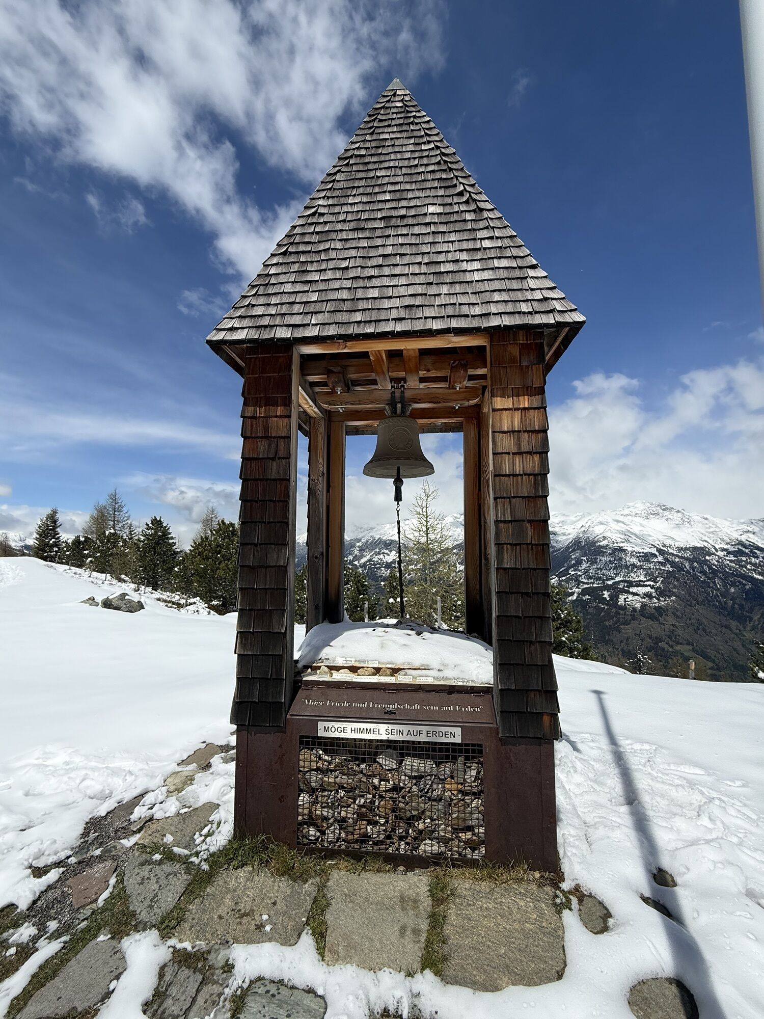
Bell for Peace and Friendship
(2.022 m)
Místo konání bohoslužeb
77,4 km
Hochsteinhütte
(2.025 m)
Úkryt
77,4 km
Sternalm
(1.505 m)
Restaurace
83,1 km
Leisach
(708 m)
Vesnice
88,8 km
Leisacherwirt
(700 m)
Restaurace
89,0 km
Goggkreuz
(695 m)
Summit
89,7 km
Amlach
(689 m)
Vesnice
90,4 km
Ulrichsbichl
(686 m)
Vypořádání
91,1 km
Dorfstube
(671 m)
Restaurace
92,3 km
Tristach
(671 m)
Vesnice
92,4 km
Der Dolomitenhof
(666 m)
Restaurace
92,8 km
Kreithof
(1.046 m)
Restaurace
97,0 km
Dolomitenhütte
(1.610 m)
Úkryt
101,3 km
Kreithof
(1.046 m)
Restaurace
105,6 km
Tristach
(671 m)
Vesnice
109,8 km
Lienz
(674 m)
Železniční stanice
112,2 km
Informace o příjezdu
Příjezd
By public transport (train and bus)
Veřejná doprava
With train and Regiobus Lienz (lines 1,2,3)
Parkování
Lienz railway station - west side
Zatím žádné recenze
Webové kamery z prohlídky
Hochsteinhütte
Zettersfeld /Obergaimberg
Lienz/Zettersfeld
Lienz Hauptplatz
Tristachersee
Winklern im Mölltal / Penzelberg
Lainach/Rangersdorf - Hotel Margarethenbad
Amlach - Naturrodelbahn Lienzer - Dolomiten
Ederplan
Feldkopf
Lienz Faschingalm
Zettersfeld - Bergstation Steinermandl
Feldkopf
Dolomitenhütte
Camping Seewiese
Lavant - Dolomitengolf
Lavant - Dolomitengolf
Lavant - Dolomitengolf
Zettersfeld - Bergstation Faschingalm
Oblíbené prohlídky v okolí
- 5,0
Ederplan round from the parking lot Stronach
středníTuristika 7,19 km - 4,9
Wangennitzsee Hütte
středníTuristika 3,80 km - 4,7
Karlsbader Hütte über Rudl-Eller-Weg
heavyTuristika 5,10 km - 4,8
Pirknerklamm (C)
středníVia ferrata 2 km - 4,8
Lienzer Dolomiten-Lasertörl
středníTuristika 13,2 km - 4,7
Glödis 3206m: PP Seichenbrunn, Lienzer Hütte, Glödis KS A/B
heavyVysokohorská turistika 16,1 km - 4,2
Gradental to Adolf Nossberger Hut - circular route
středníTuristika 11,1 km - 3,9
Karlsbader Hütte - Lienzer Dolomiten
Turistika 8 km - 4,2
Straßkopf
středníTuristika 4,06 km - 3,9
Summit hike to the Hochstadel
středníTuristika 7,83 km
Pěší turistika a stopování

Více než 550.000 návrhů výletů, podrobné mapy a intuitivní plánovač tras dělají z aplikace nezbytnou výbavu pro všechny milovníky přírody.

Nenechte si ujít nabídky a inspiraci pro vaši příští dovolenou
Přihlaste se k odběru newsletteru
Chyba
Došlo k chybě. Zkuste to prosím znovu.Děkujeme za vaši registraci
Vaše e-mailová adresa byl přidán do poštovního seznamu.
Zájezdy po celé Evropě
Rakousko Švýcarsko Německo Itálie Slovenia Francie Nizozemsko Belgie Polsko Lichtenštejnsko Česko Slovensko Španělsko Chorvatsko Bosna a Hercegovina Lucembursko Andorra Portugal Iceland United Kingdom Ireland Greece Albania North Macedonia Malta Norway Montenegro Moldova Kosovo Hungary San Marino Romania Estonia Latvia Belarus Cyprus Lithuania Serbia Bulgaria Monaco Denmark Sweden Finland