






Ironbike Ischgl
Úroveň obtížnosti: S3
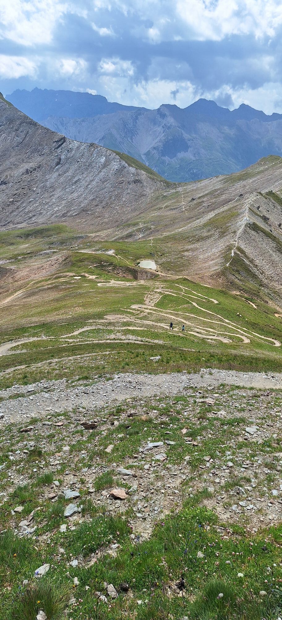
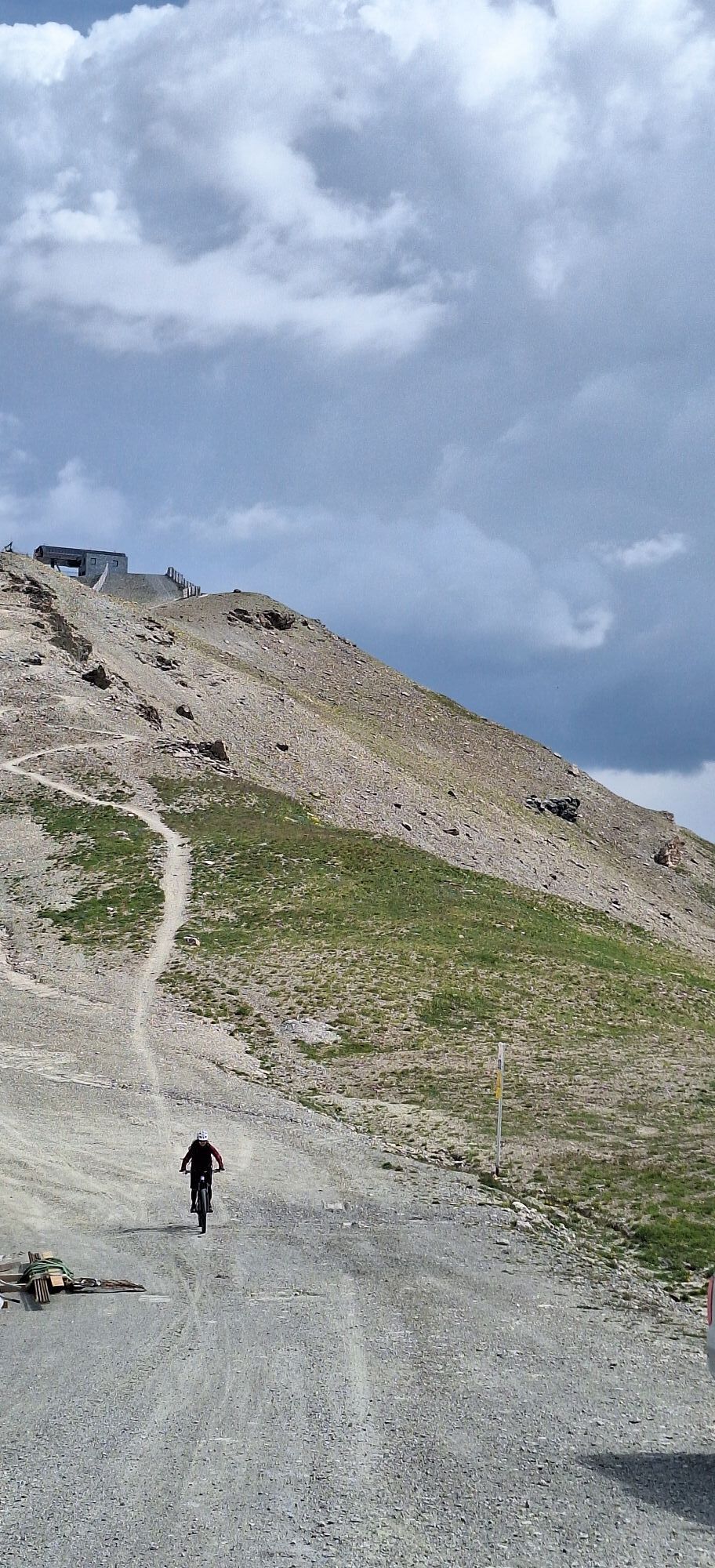
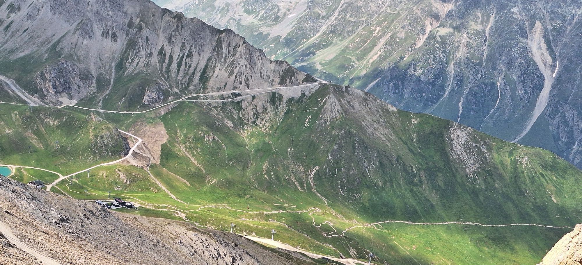
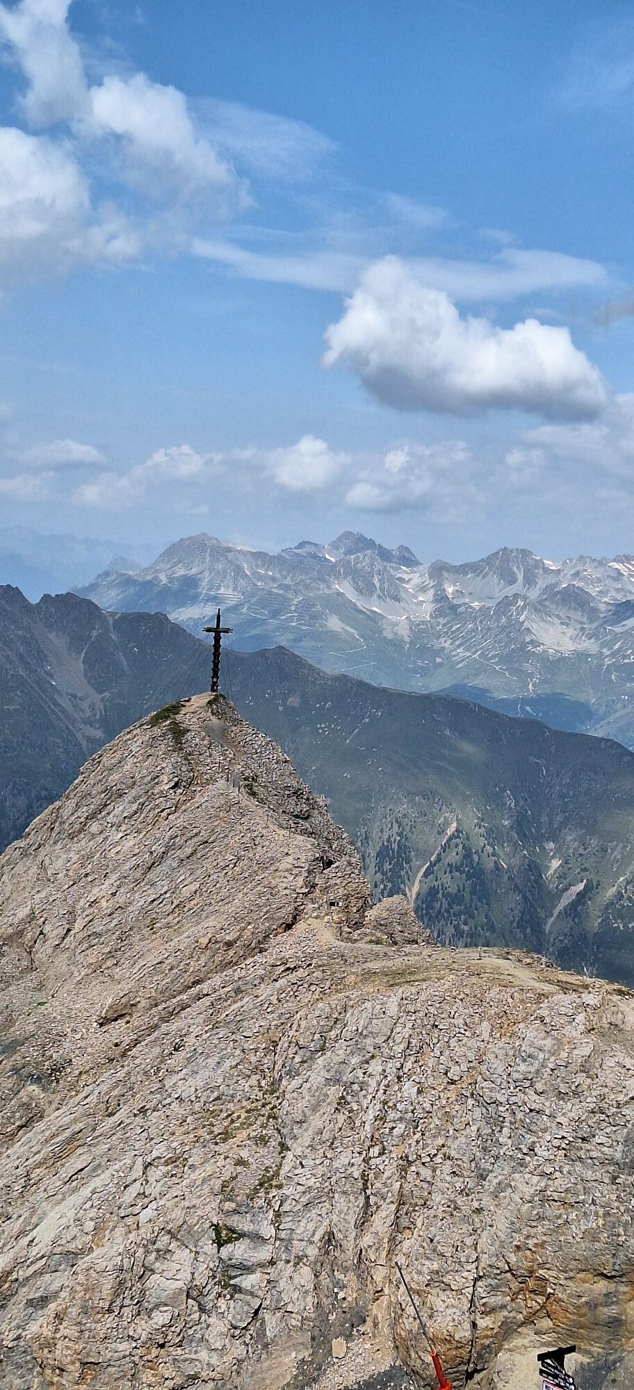
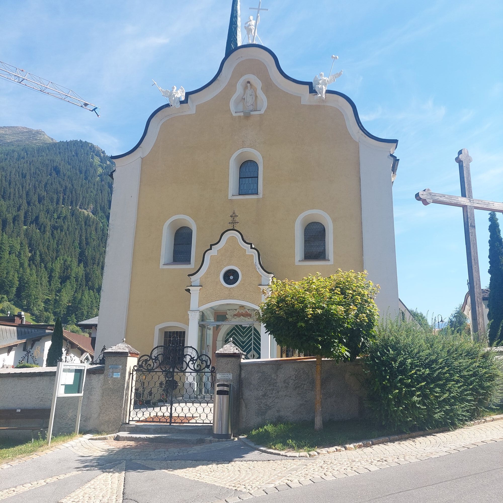
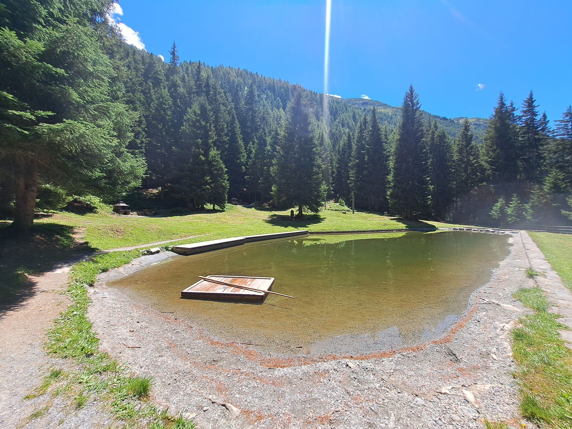
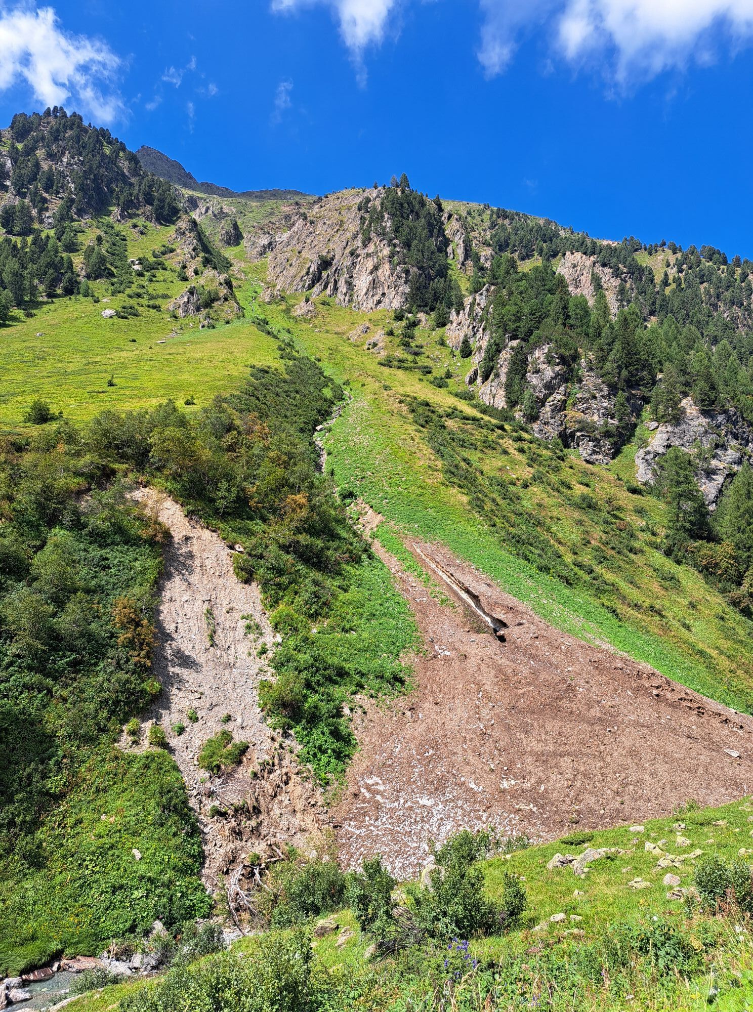
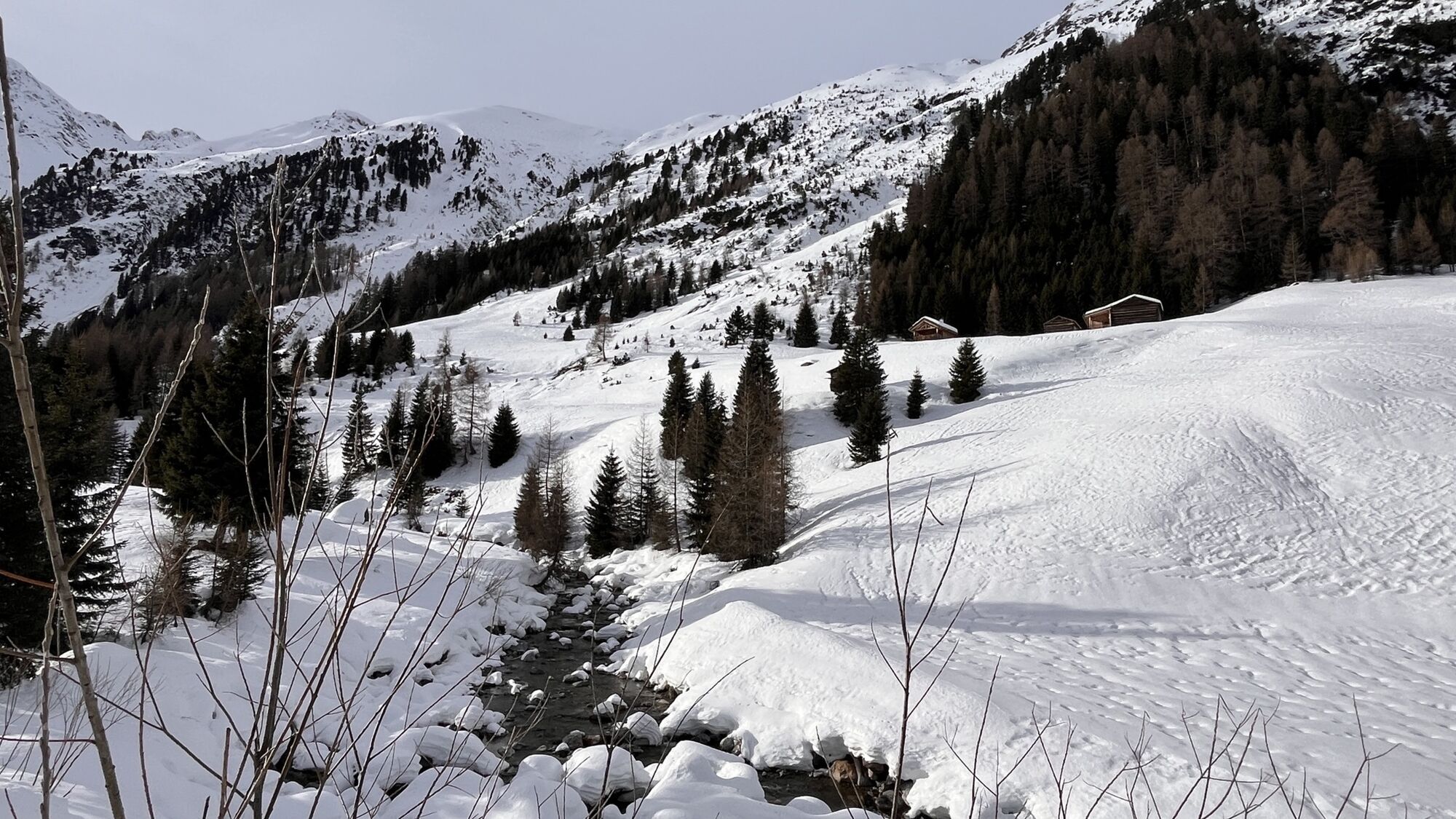
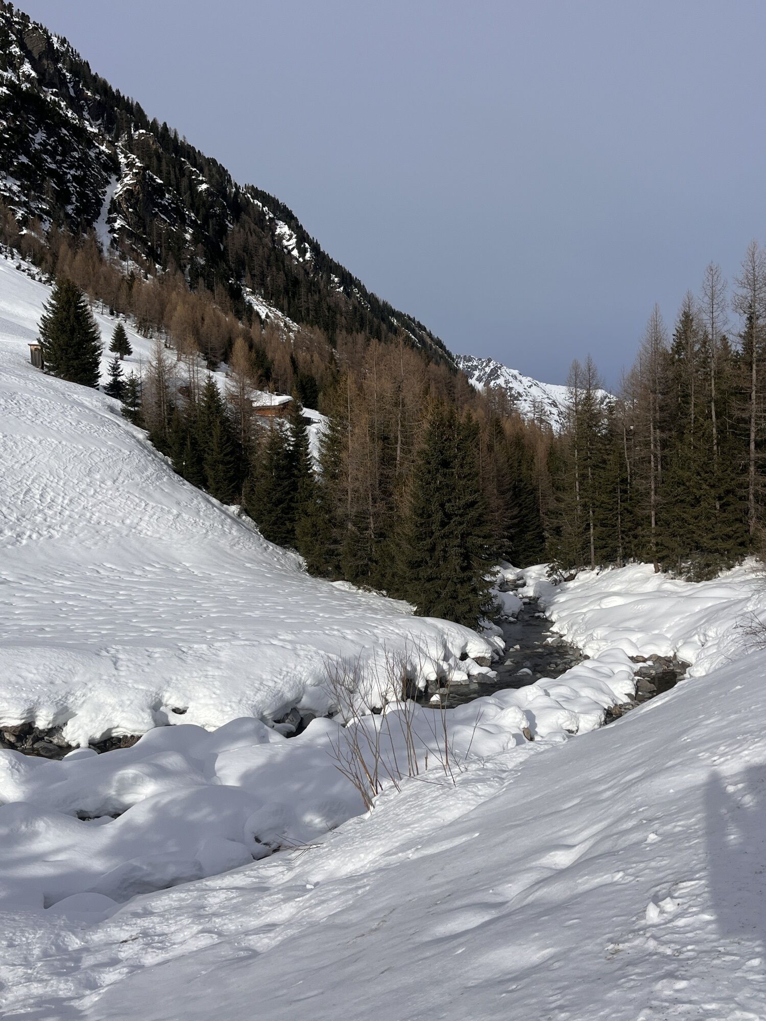
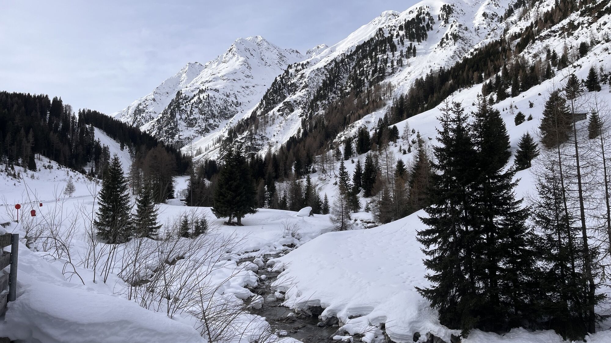
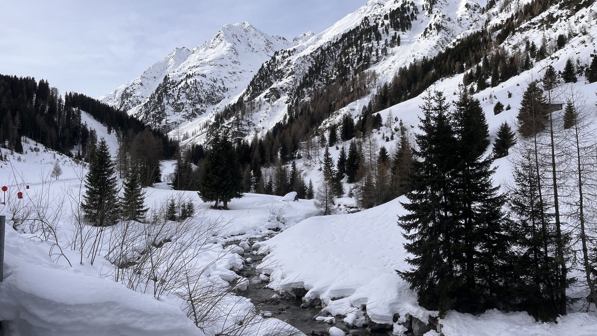
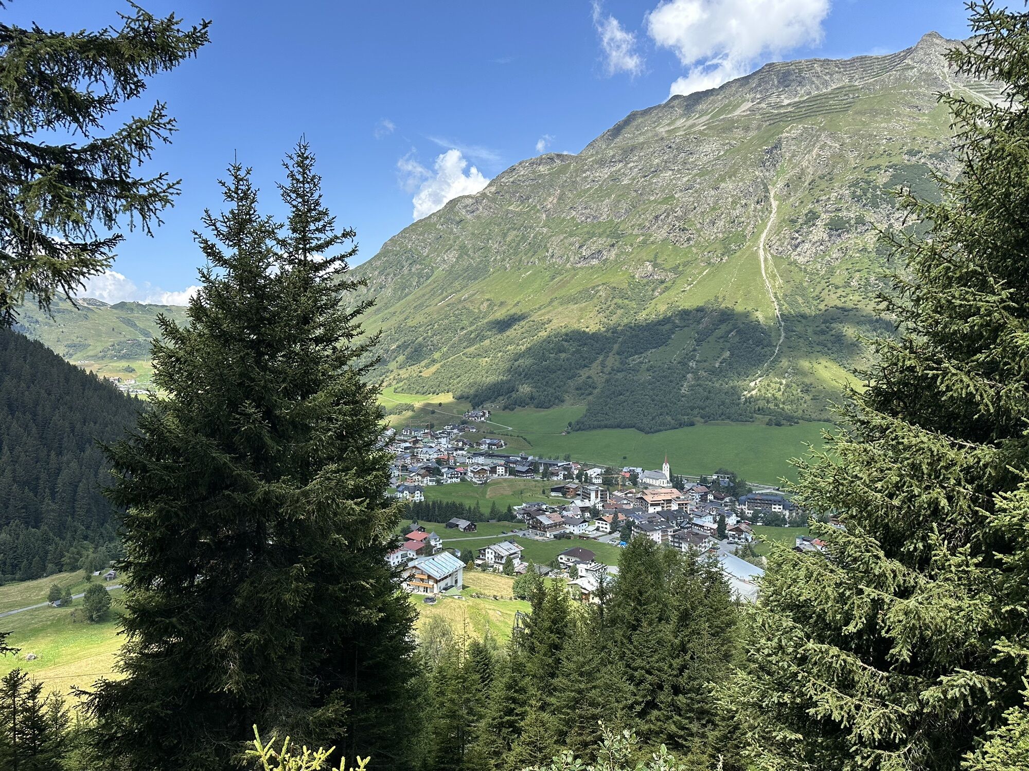
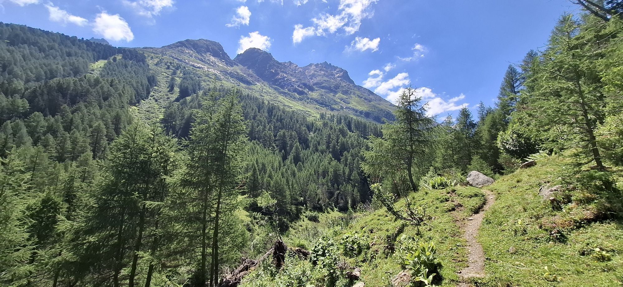
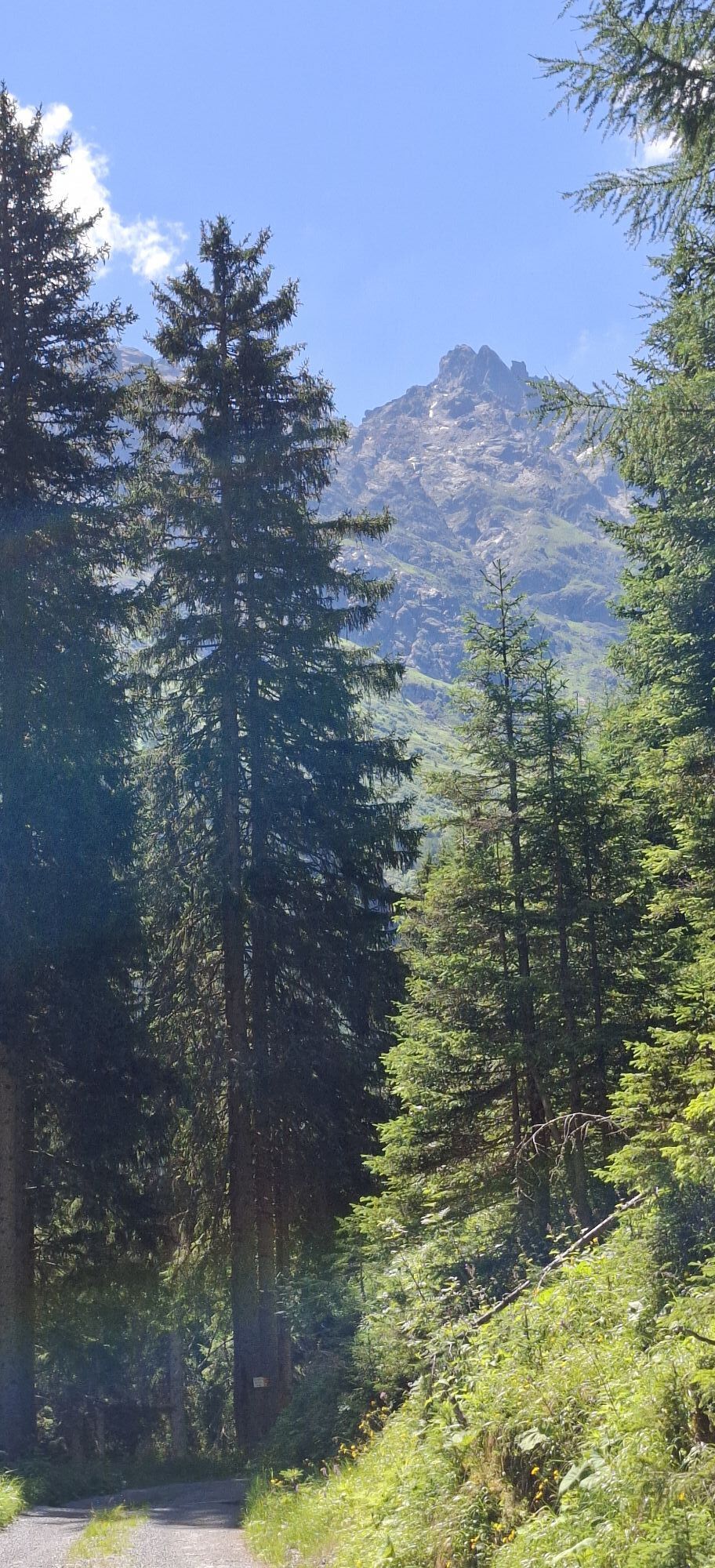
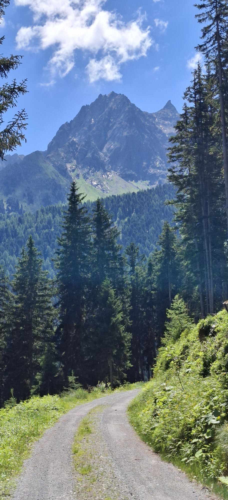
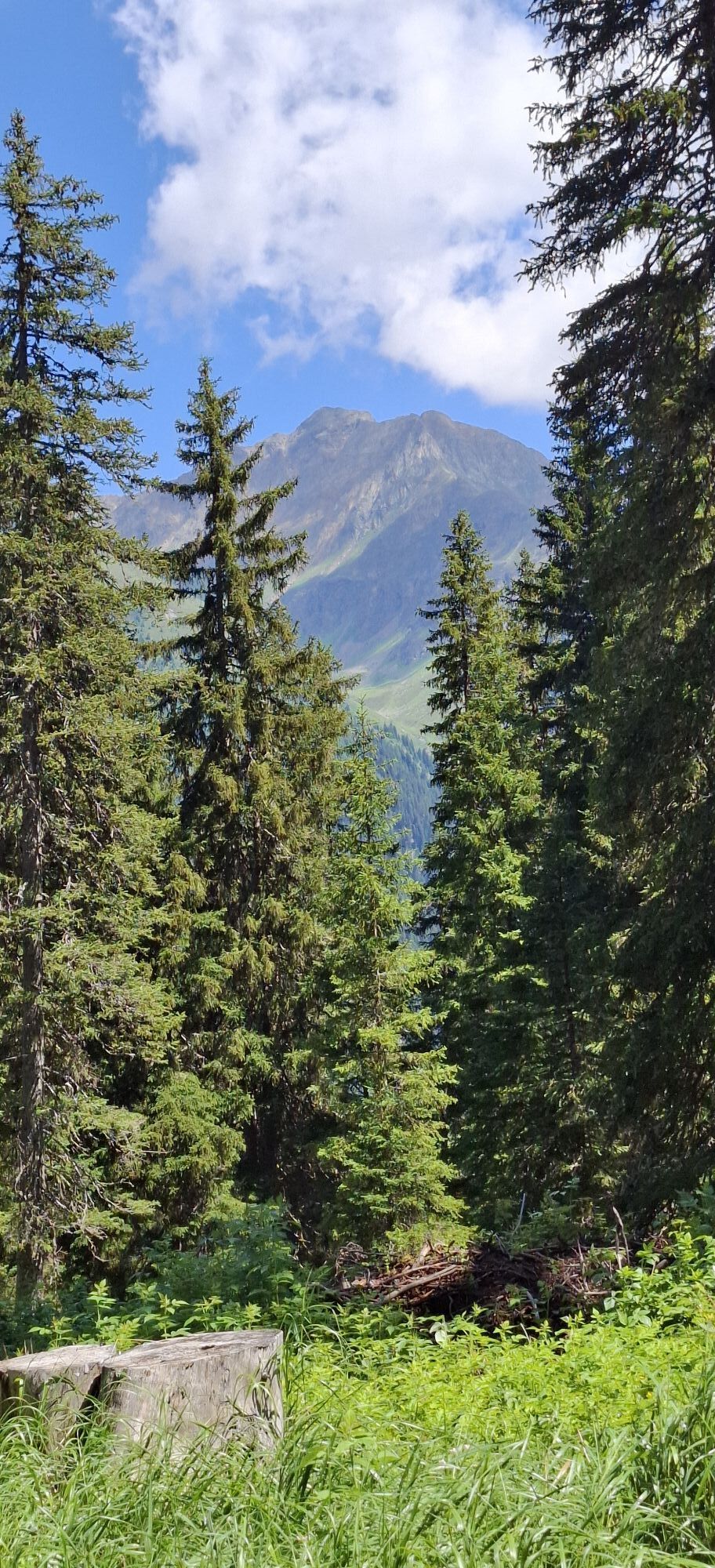
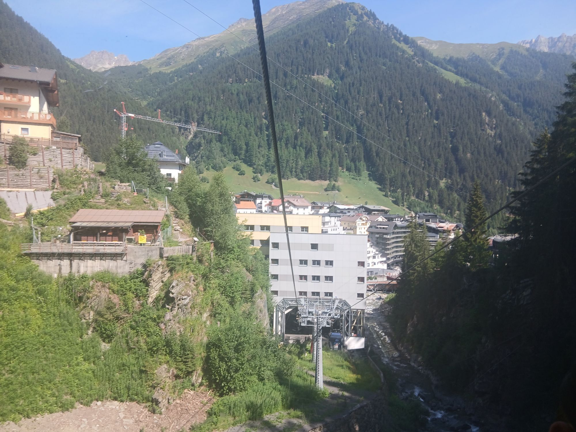
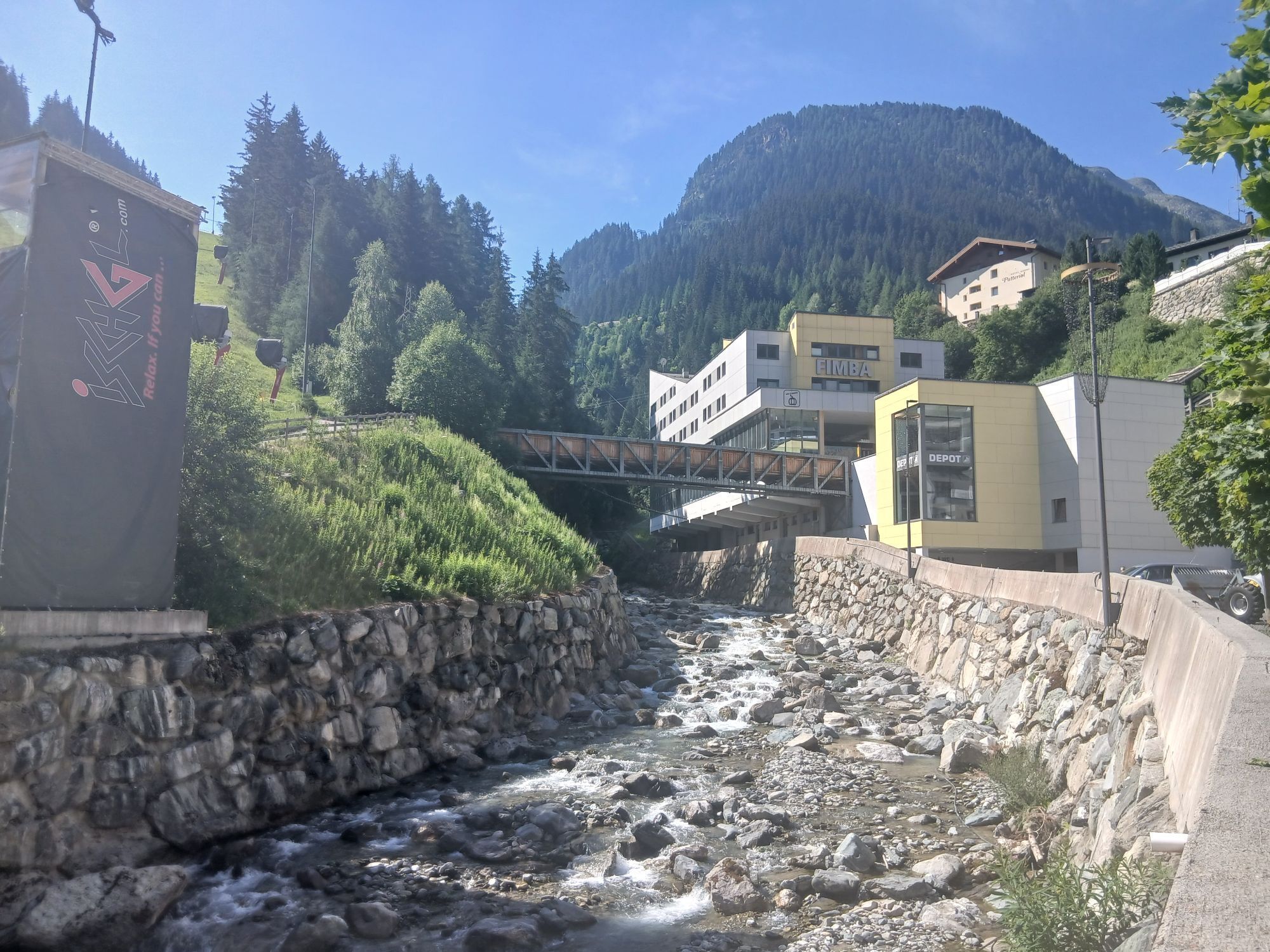
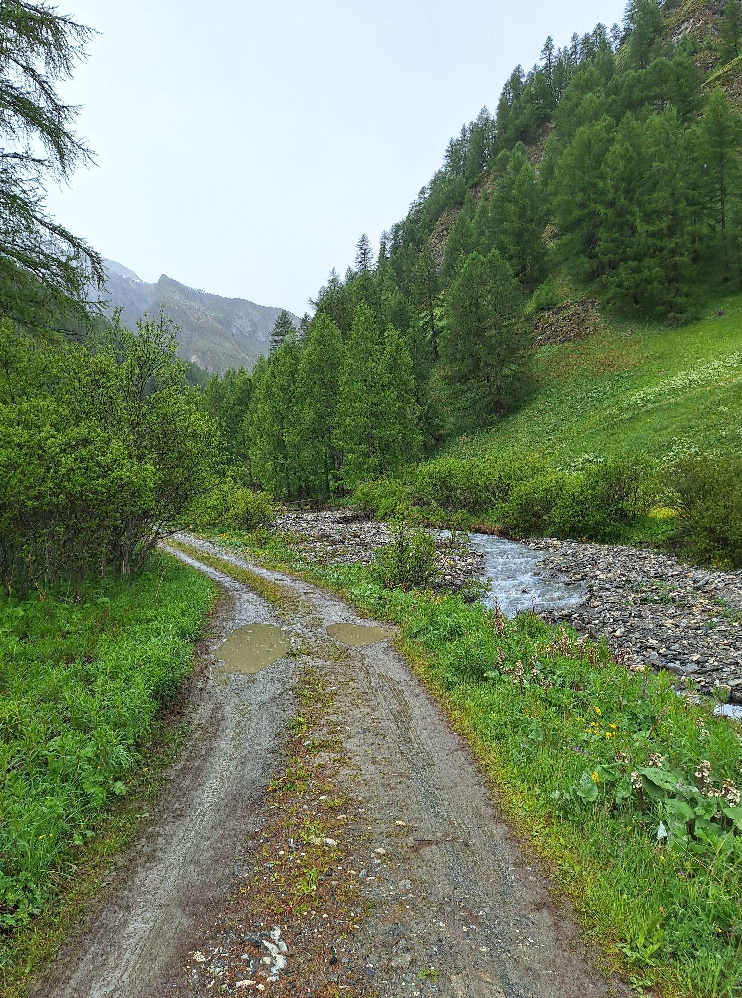
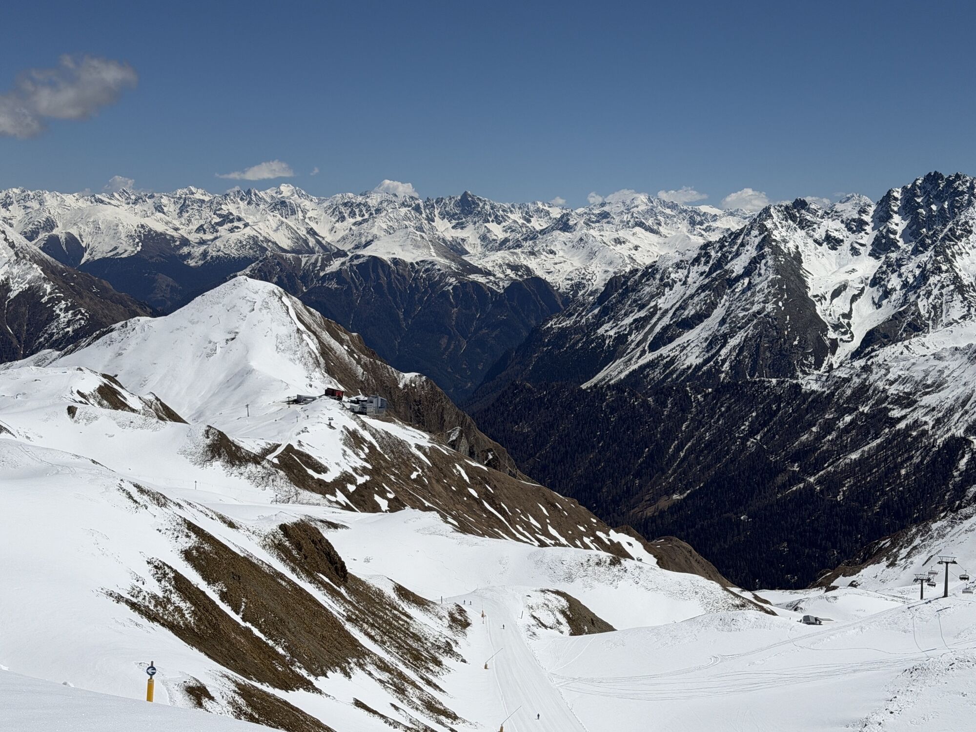
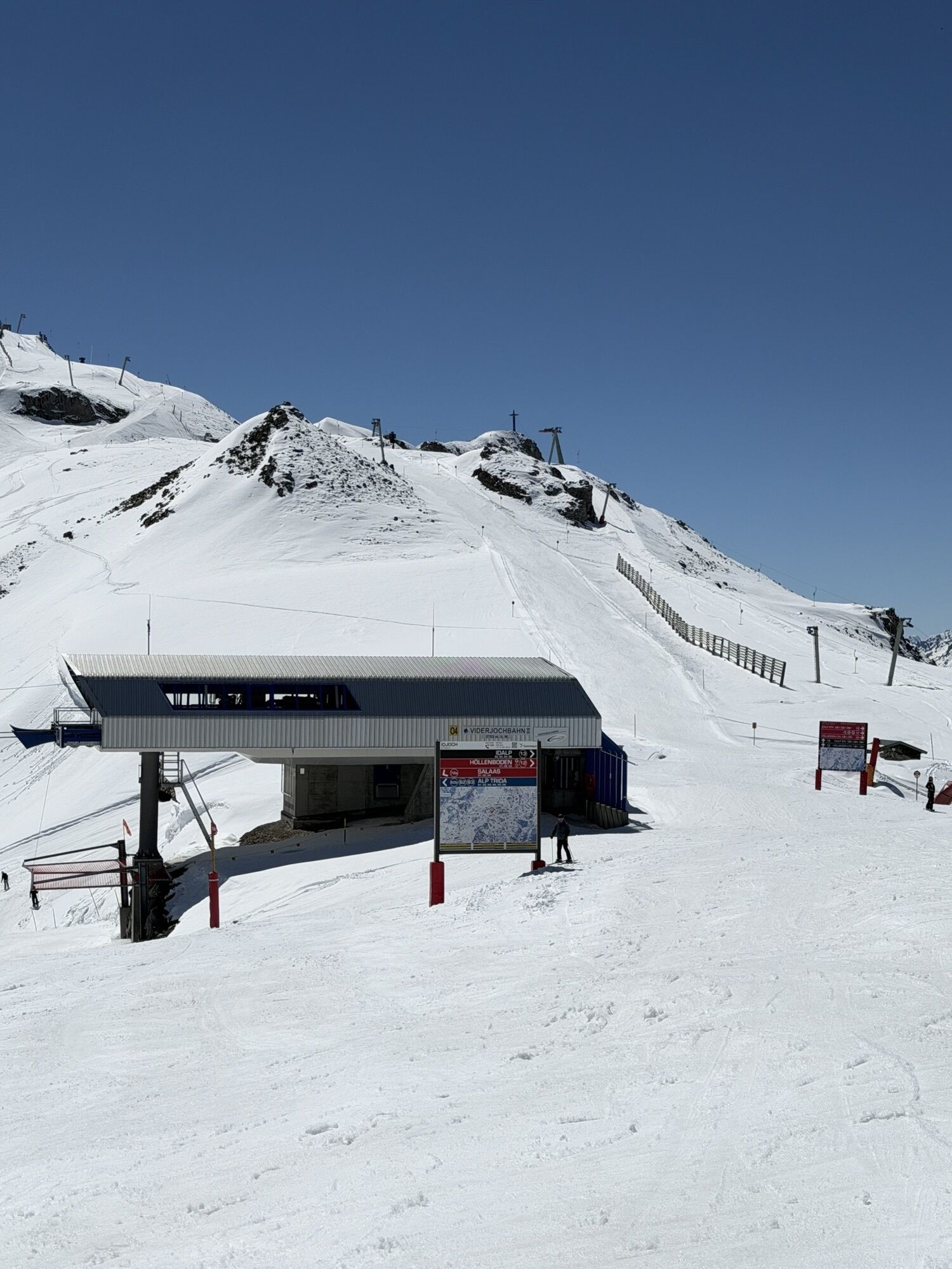
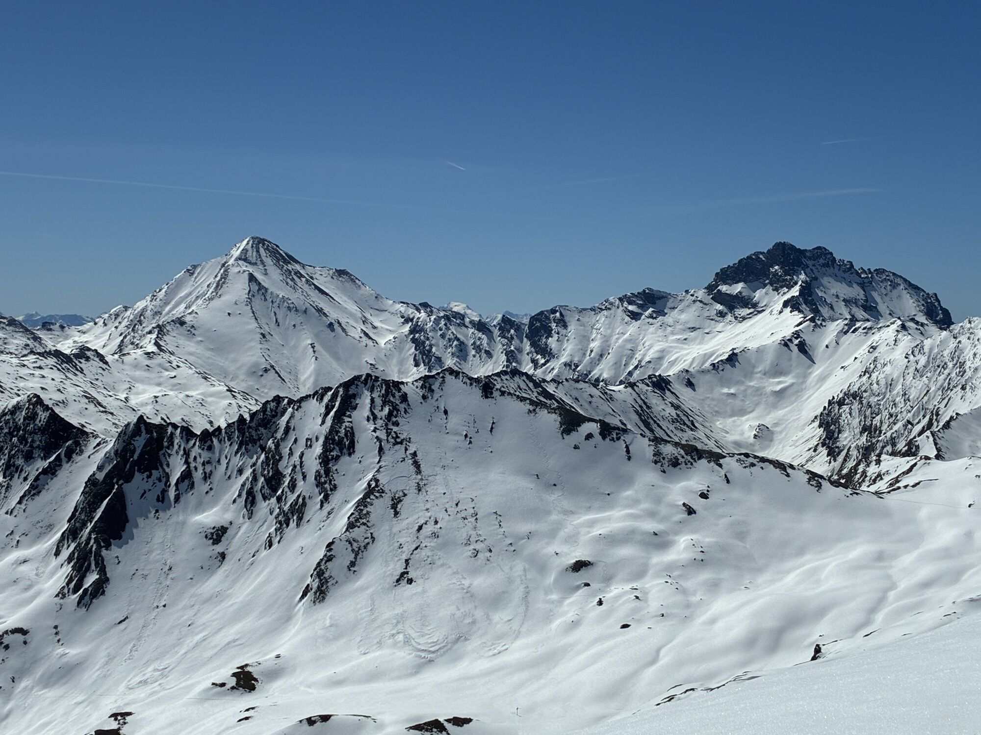
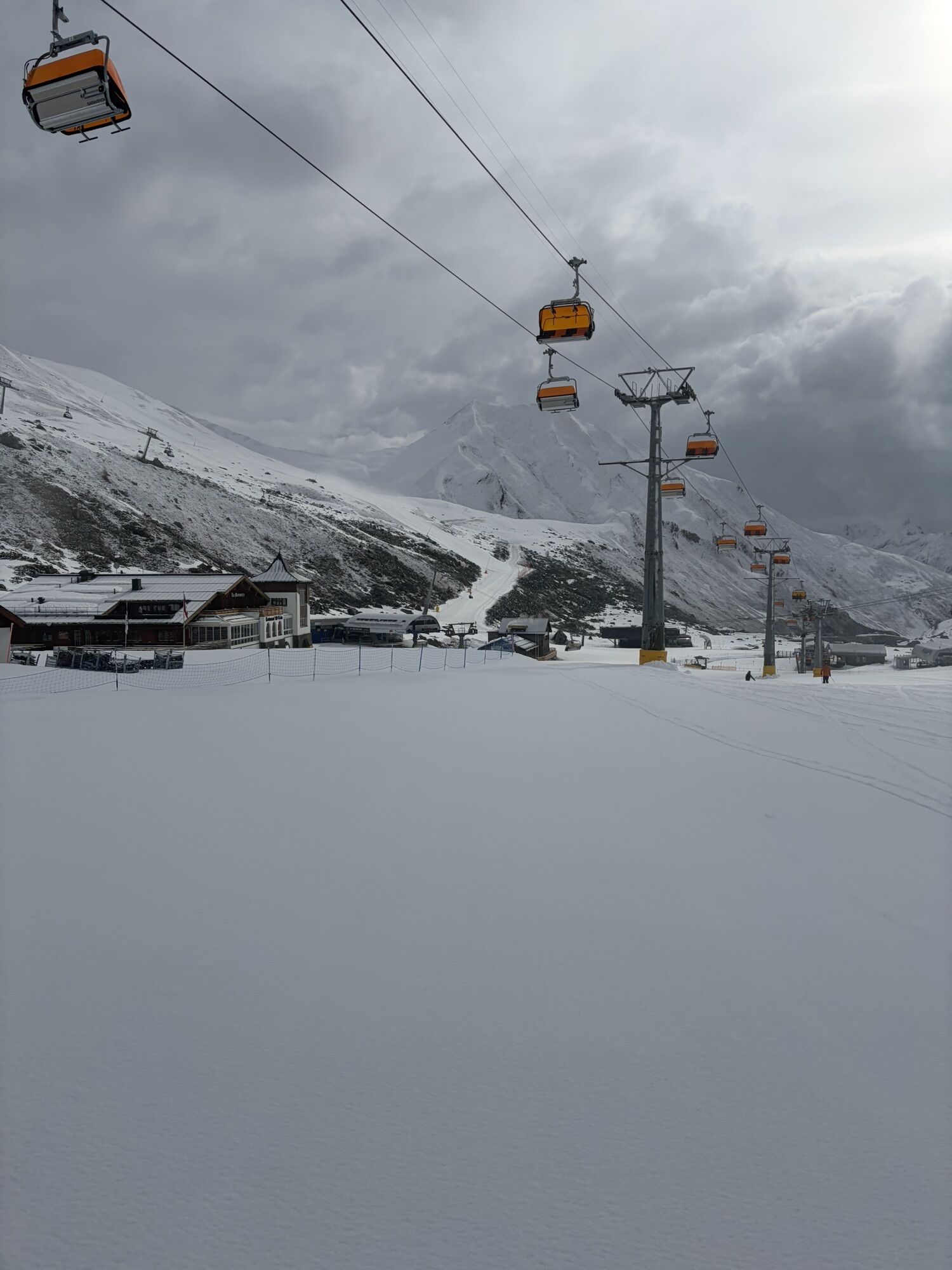
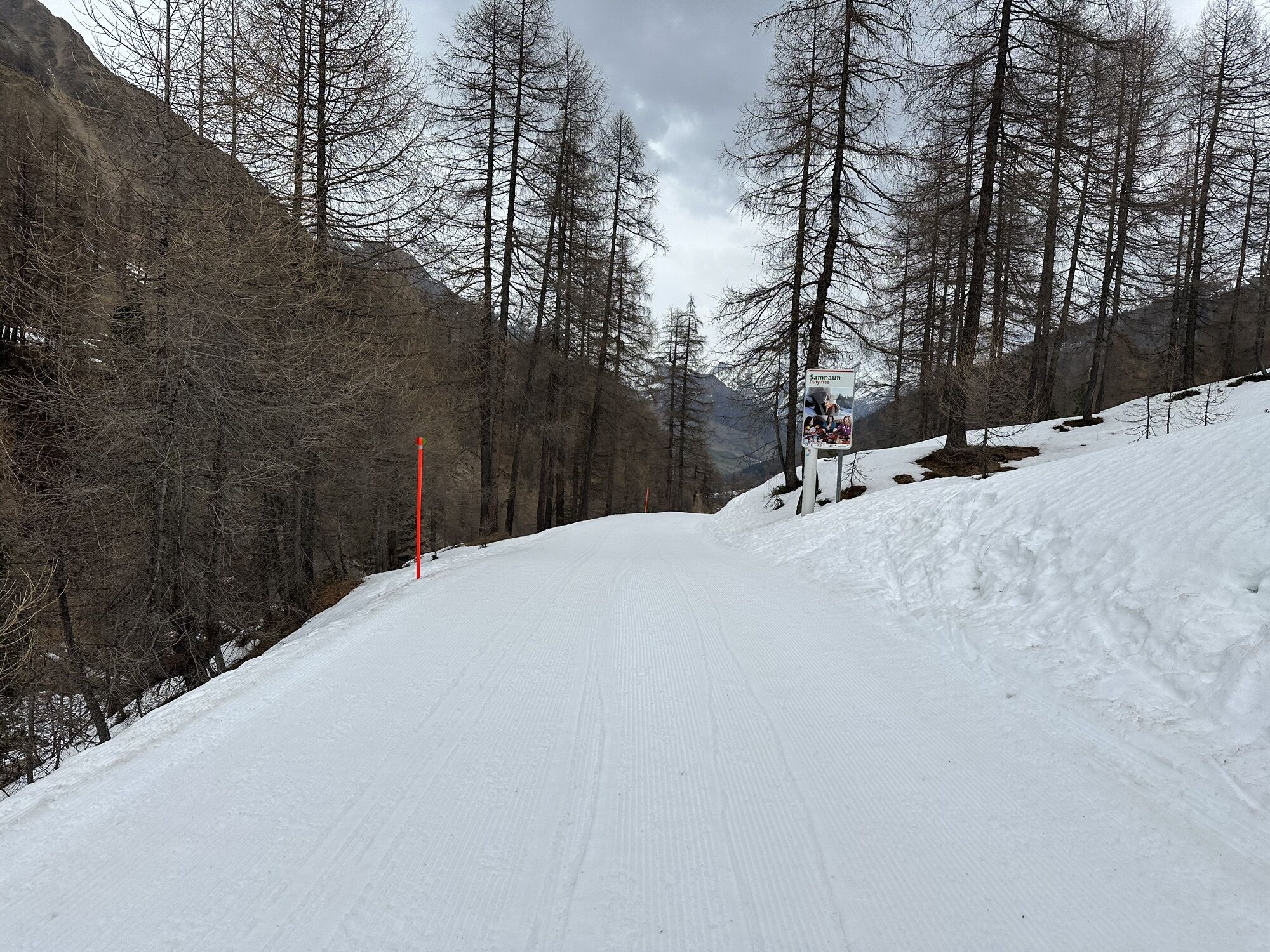
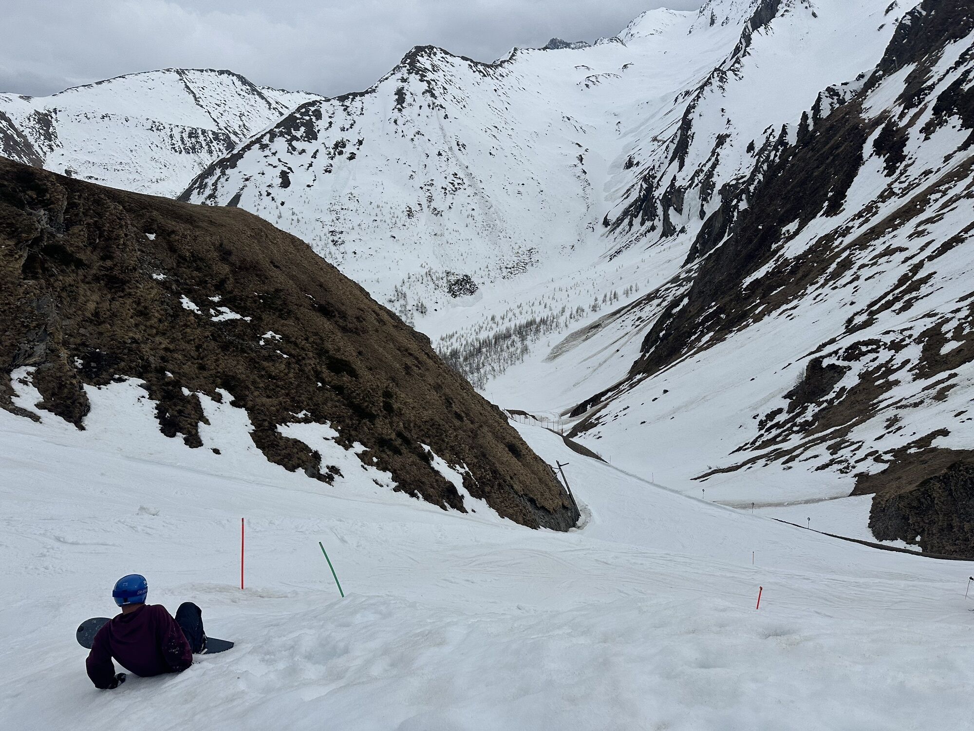
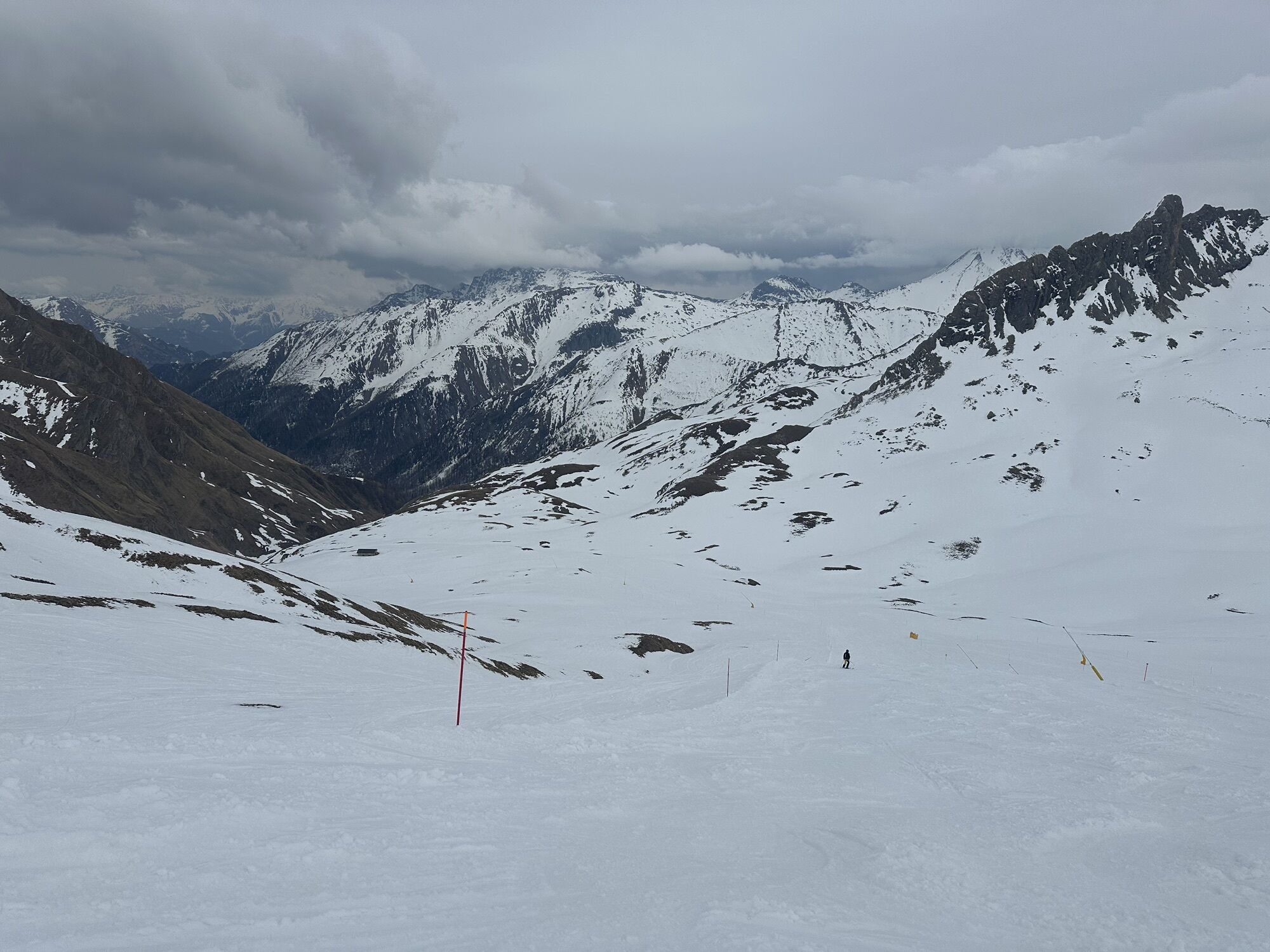
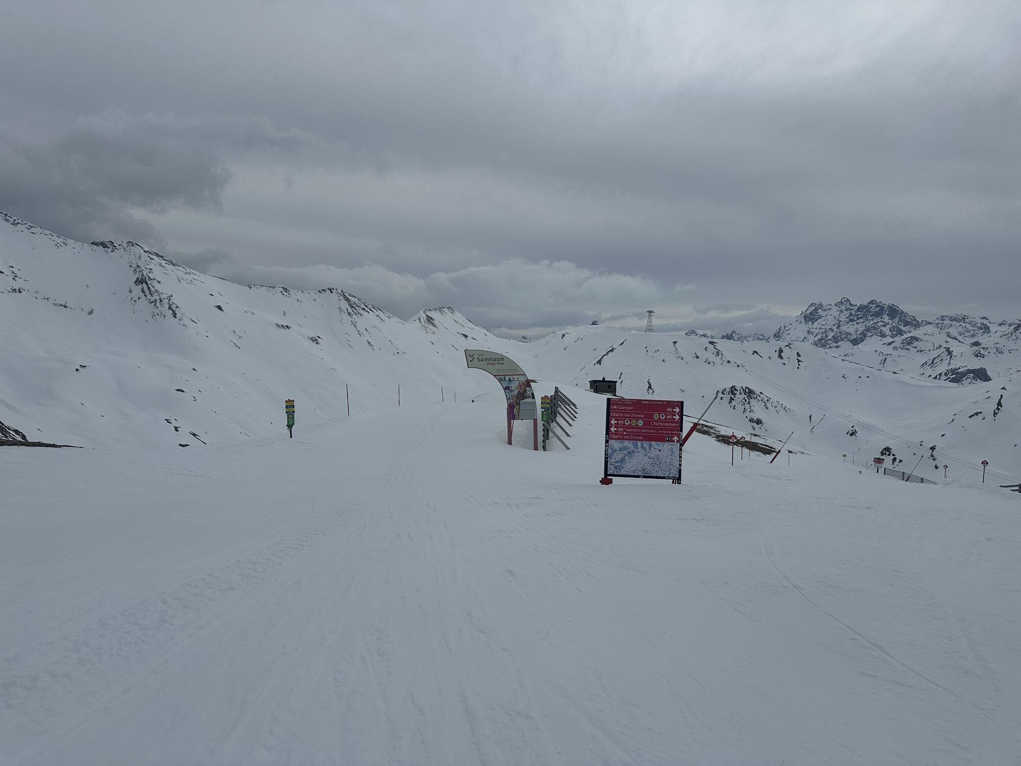
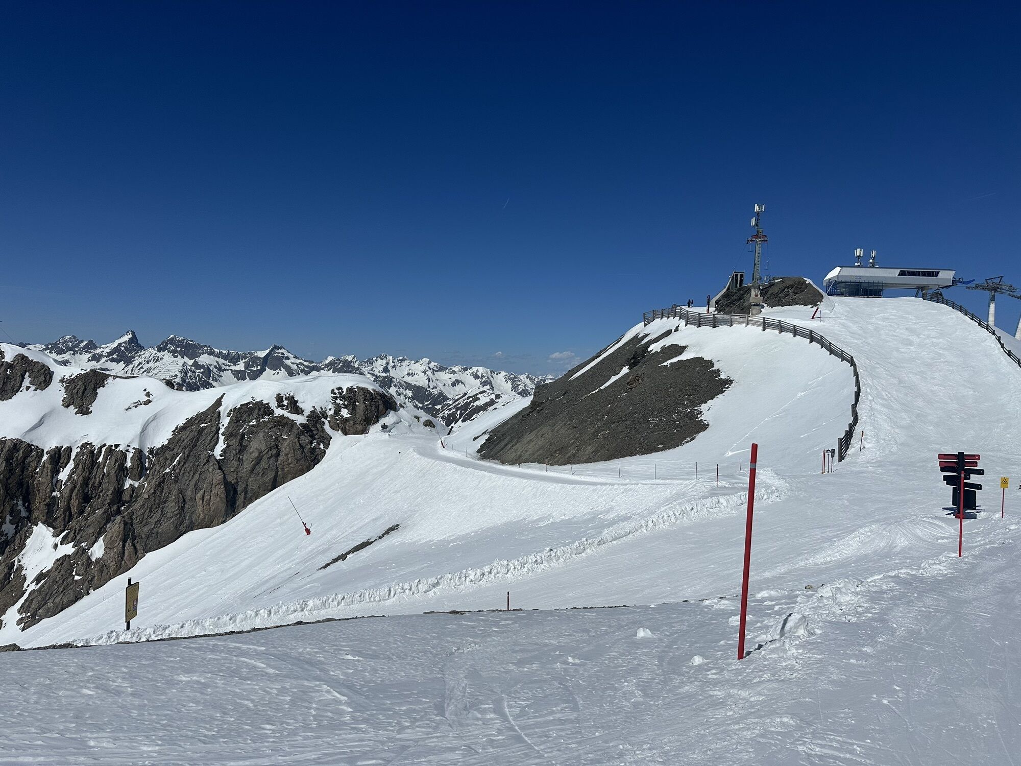
The tour begins in Samnaun Dorf to Samnaun-Laret. It continues from Laret over a long ascent on the alpine road past Alp Trida to Viderjoch. From there the route continues via the Flimjoch trail to Idalpe....
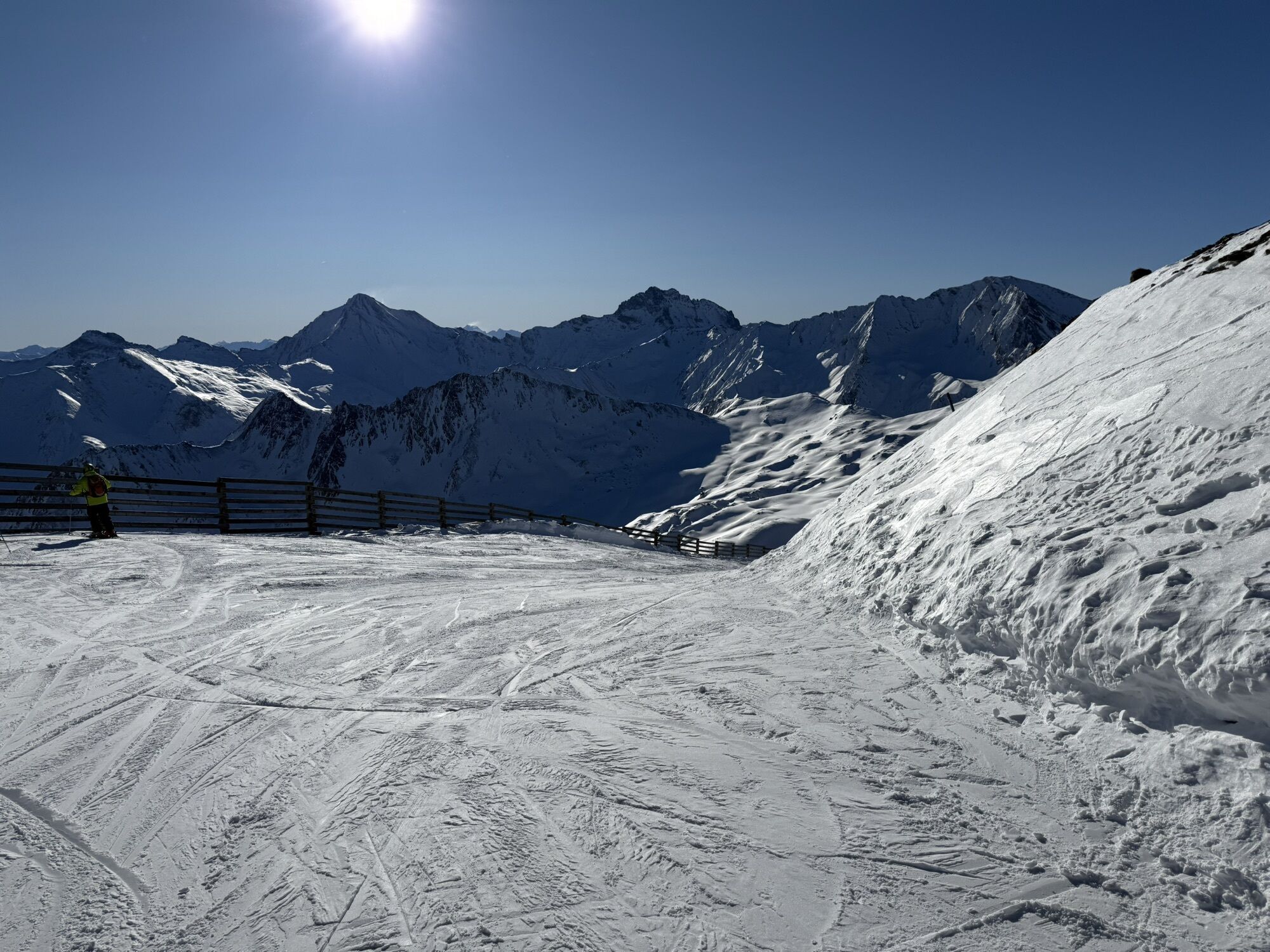
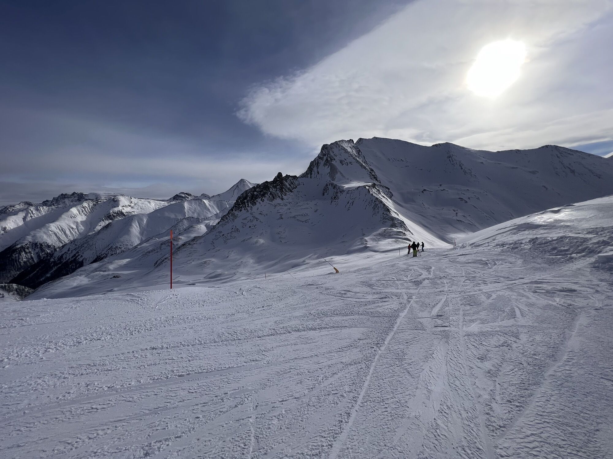
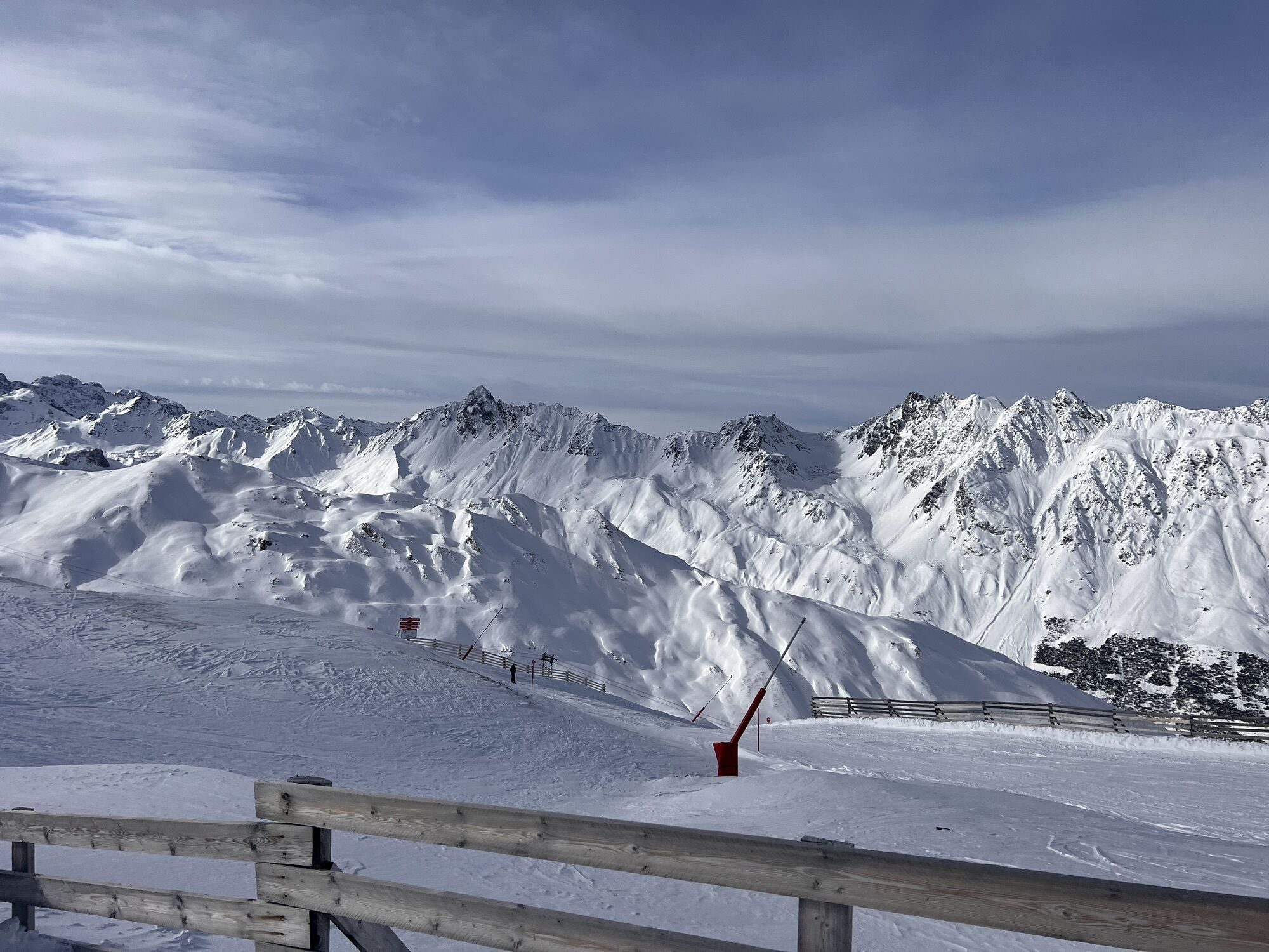
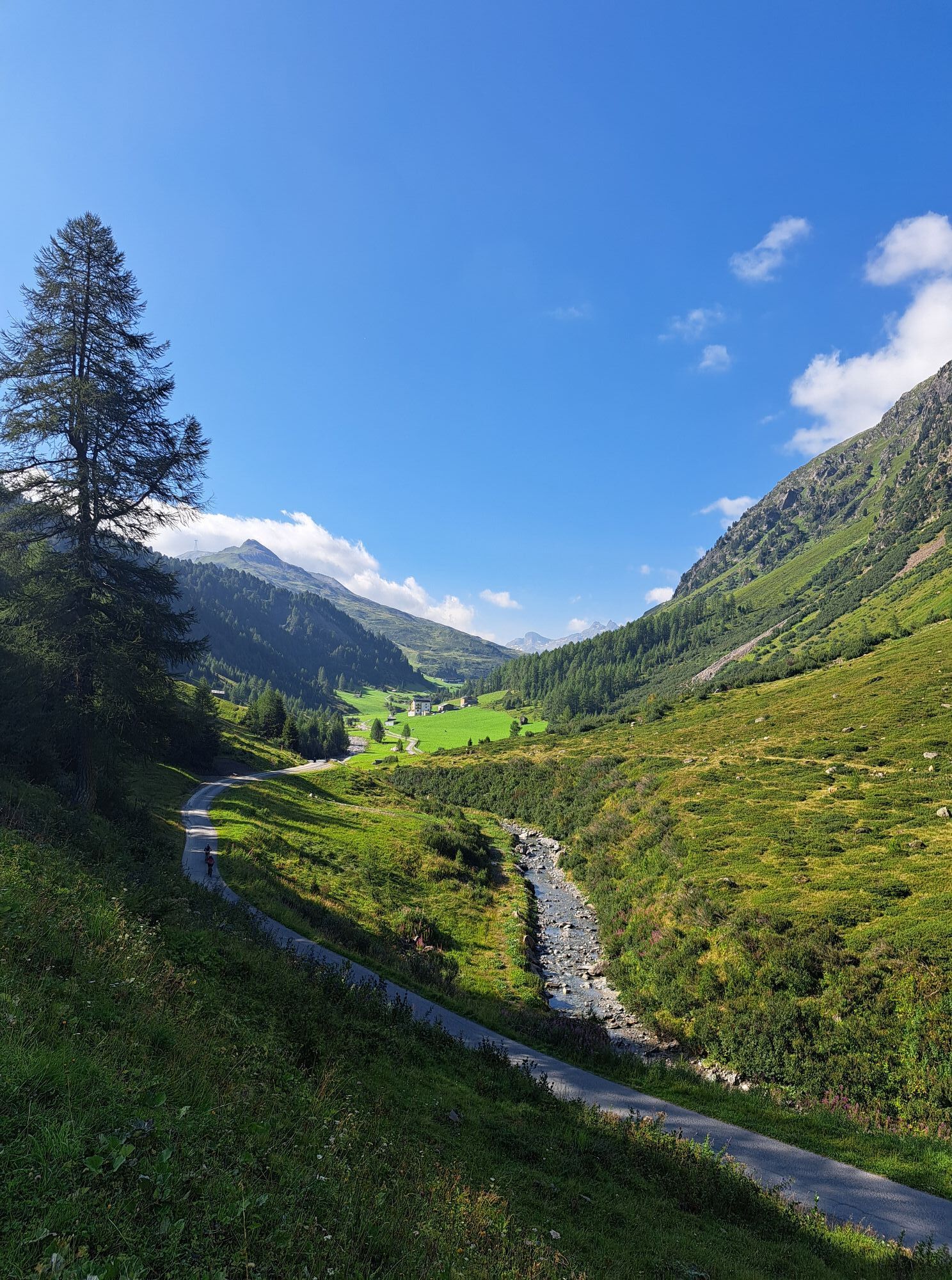
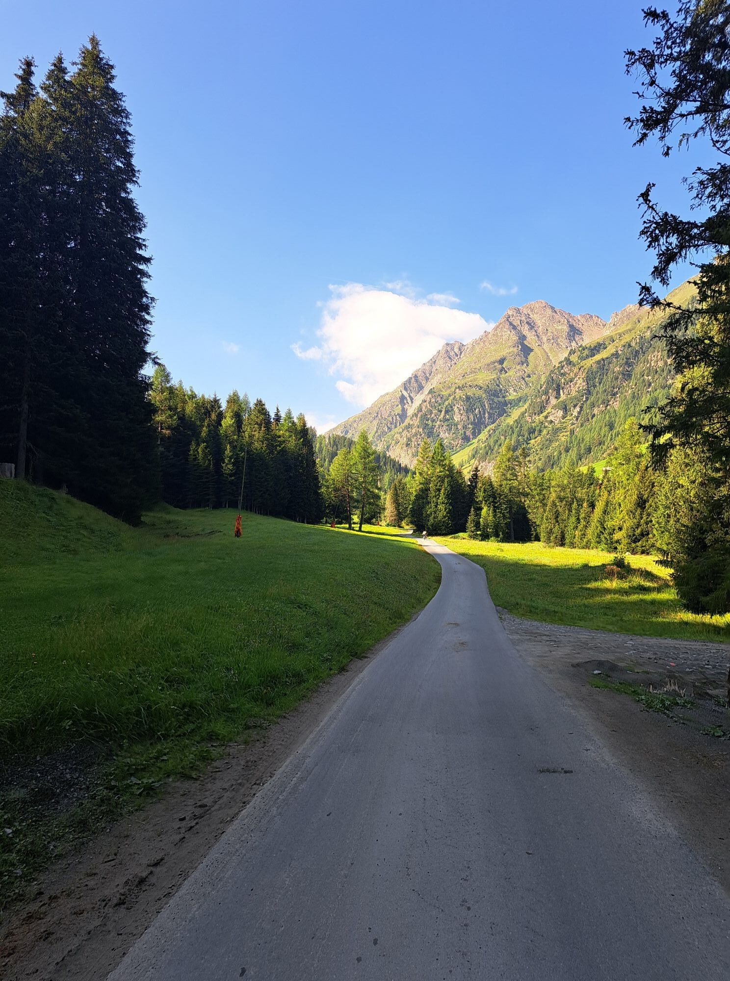
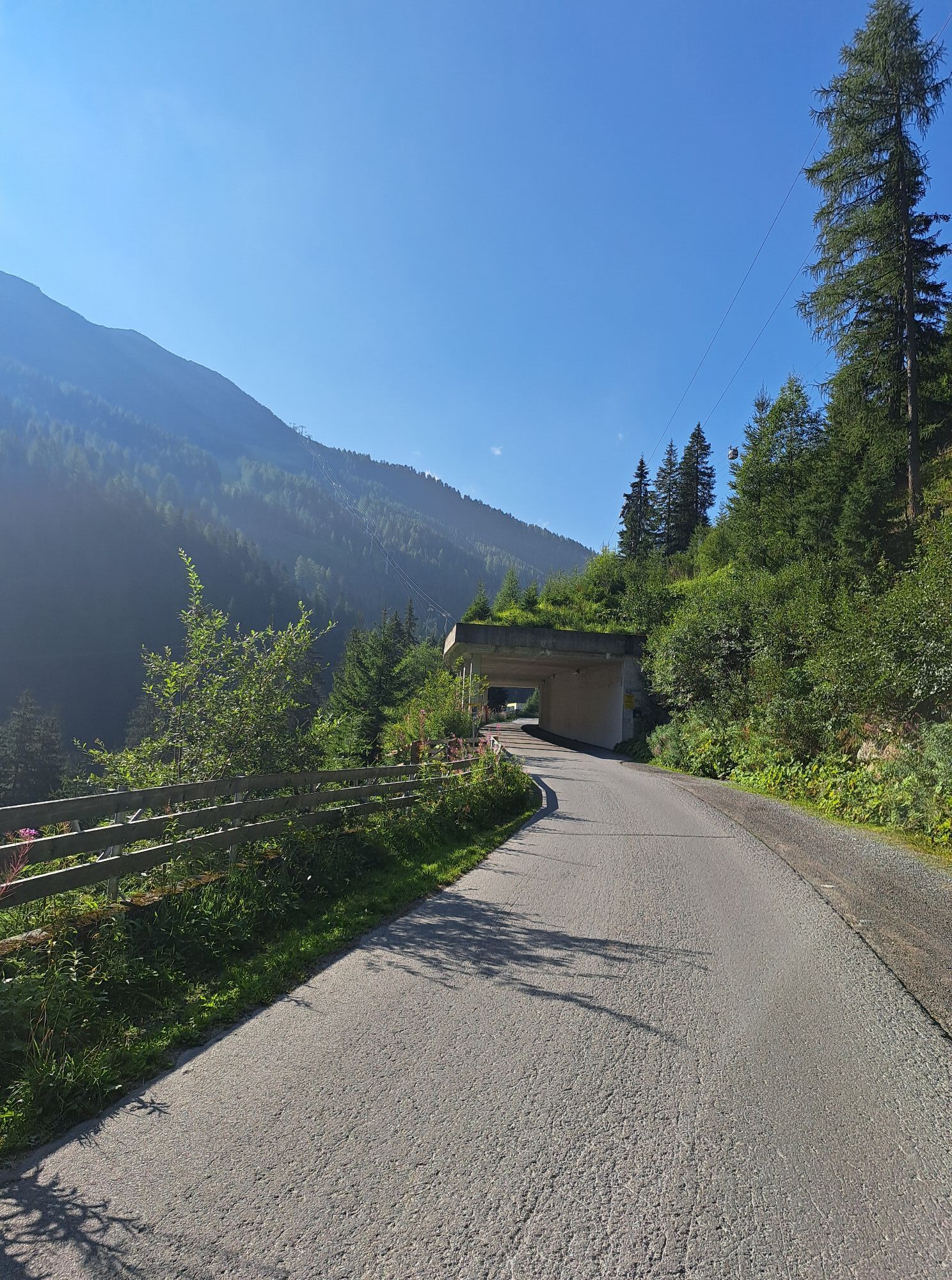
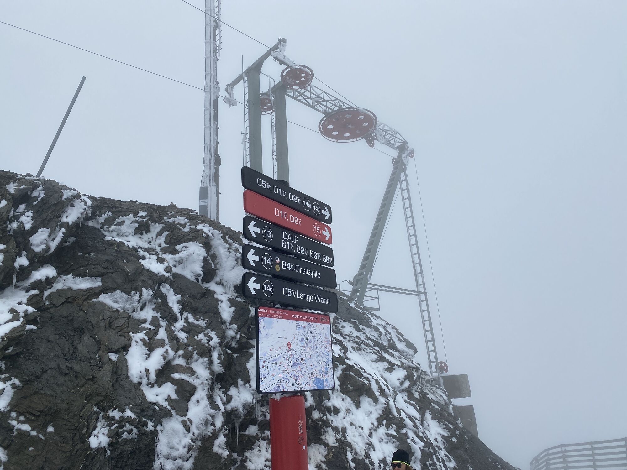
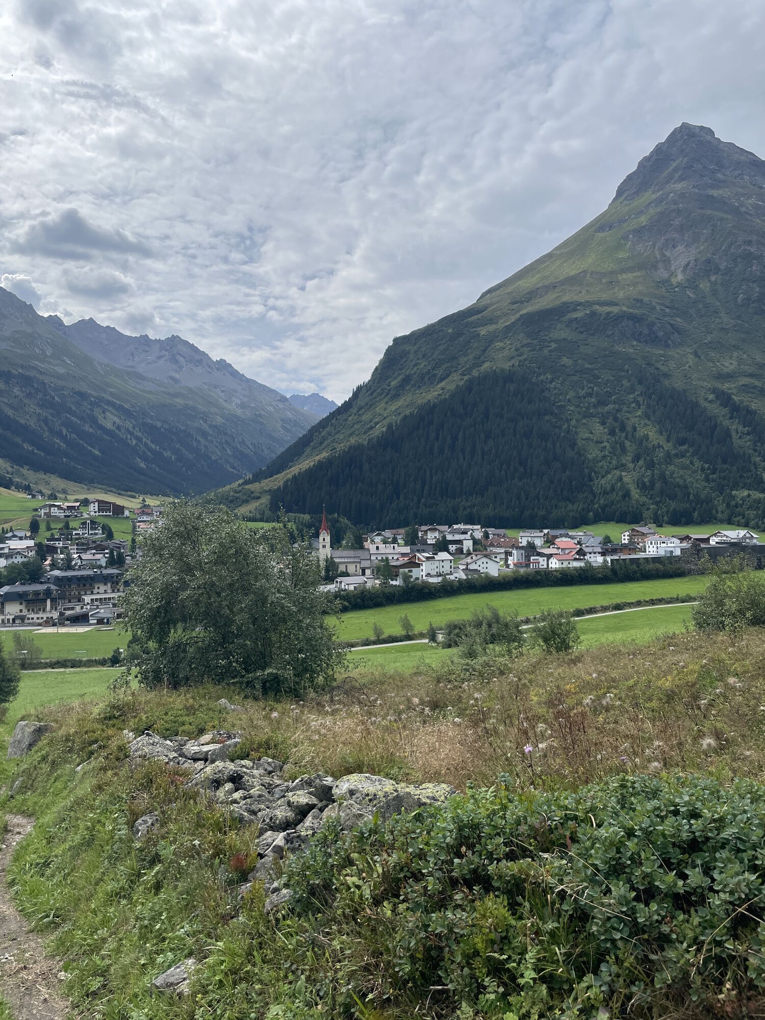
The tour begins in Samnaun Dorf to Samnaun-Laret. It continues from Laret over a long ascent on the alpine road past Alp Trida to Viderjoch. From there the route continues via the Flimjoch trail to Idalpe. You reach the Velill trail after a short and speedy ascent; the descent leads past the upper Velillalpe to Ischgl. Next to the Fimba cable car, you pass through the village tunnel to the lift in the middle, which takes bikers to the “church”. This is where the ascent to Pardatschalpe begins and further via Höllkar to Salaaser Kopf. And here we commence our descent over the Zebla pastures back to Samnaun Dorf.

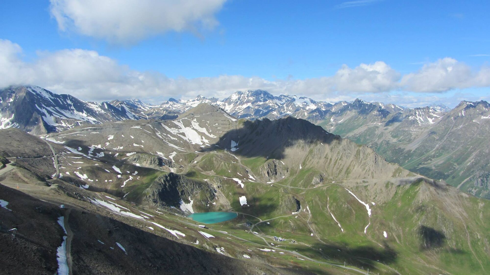

Then via the valley road past Alp Trida to the Viderjoch.
Via the Flimjoch trail to Idalpe.
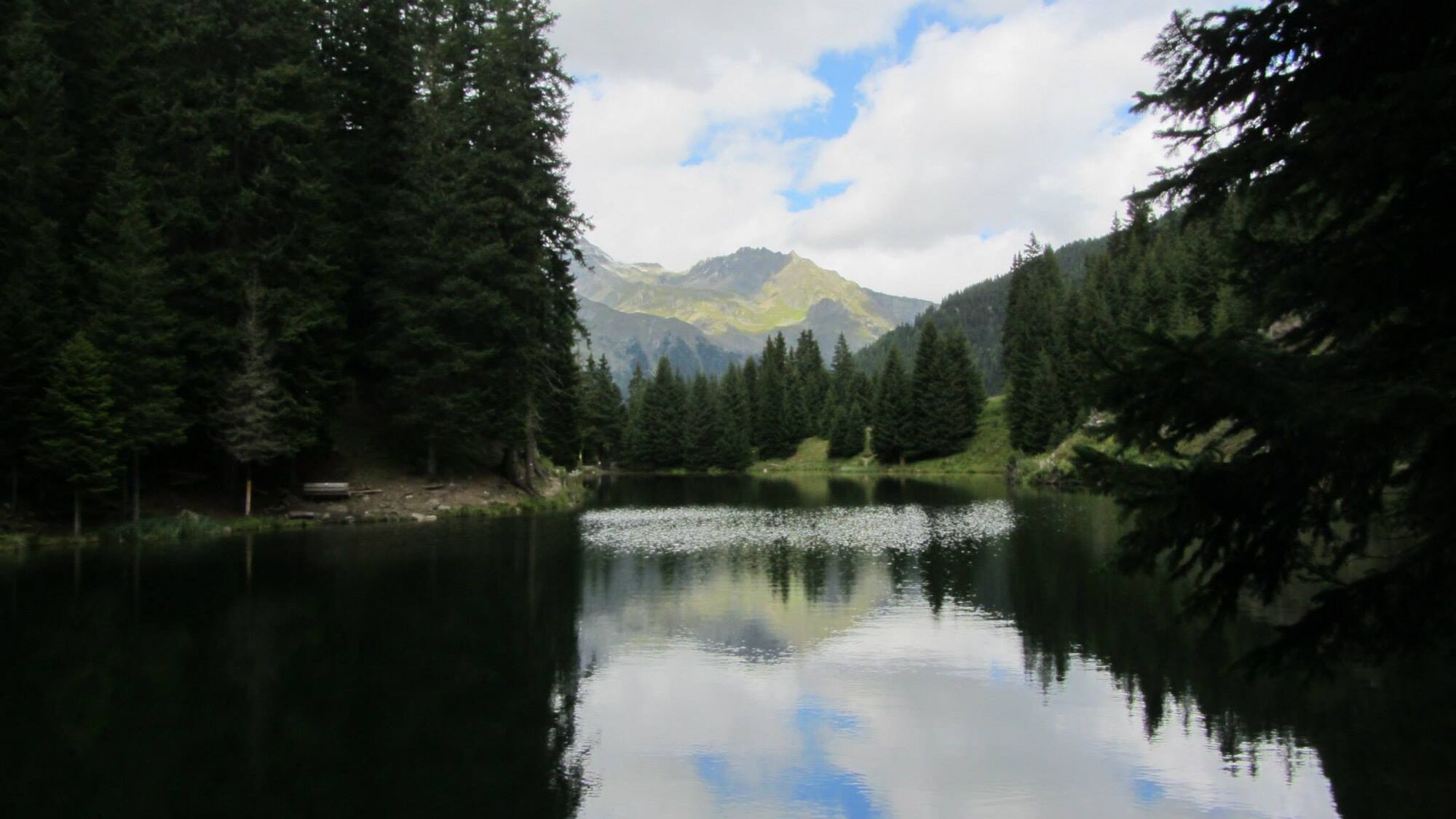
Ascent to the Velilltrail.Descent via the upper Velillalpe to Ischgl.
Village tunnel at the Fimbabahn to the middle of the tunnel, with the lift to the church.
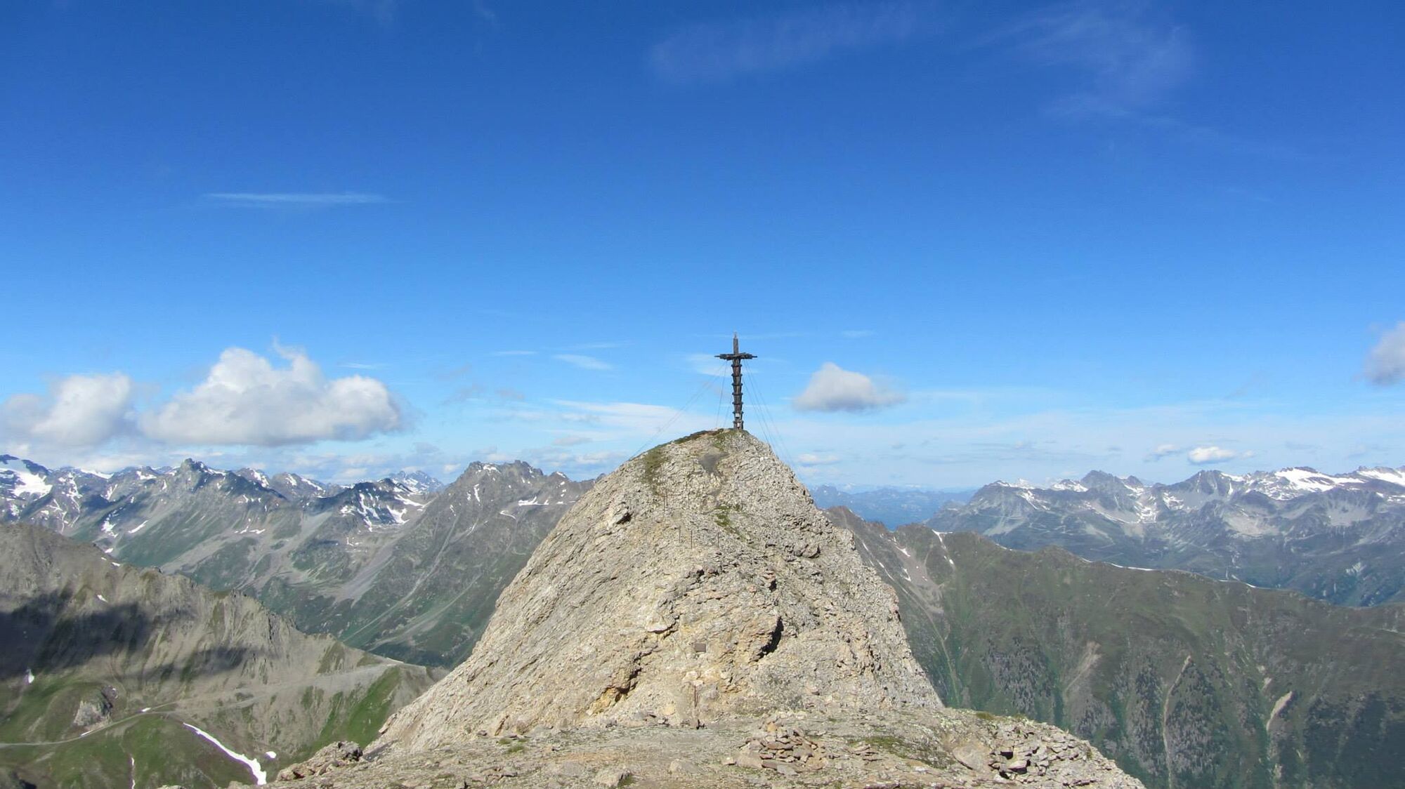
Ascent to the Pardatschalpe, Höllkar to the Salaaserkopf.
Via Zeblaswiesen down the Alptstrasse to Samnaun village.
Ano
Ano
Ano
Helmet, gloves, good shoes, glasses, rain and sun protection, water bottle, repair kit, first aid kit
Emergency call:
144 Emergency call, first aid
1414 Mountain rescue REGA
112 International emergency call
Show consideration when crossing and overtaking hikers. Most of the mountain bike routes in Graubünden run on single trails that are also signposted as hiking trails. Hikers always have the right of way.
From the north: via Landquart - Klosters by car transport through the Vereina Tunnel (Selfranga - Sagliains) or via the Flüela Pass into the Lower Engadine on H27, from Vinadi turn left towards Samnaun.
From the east: via Landeck / Austria in the direction of Reschenpass on the B180, from Kajetansbrücke in the direction of Spiss - Samnaun on the L348.
From the south: via Reschenpass to Kajetansbrücke, then towards Spiss - Samnaun on the L348.
By Rhaetian Railway (from Chur, Landquart/Prättigau or from the Upper Engadine) hourly to Scuol-Tarasp station.
Continue by PostBus (from Scuol-Tarasp or Martina, Cunfin) hourly to PostBus stop Samnaun-Dorf, Post Office.
In Samnaun during the day hourly service with the Samnaunbus
Free parking in Samnaun village (Chasa Riva, Musella or Votlas)
S3
Webové kamery z prohlídky
Ischgl Idalpe
Ballunspitzbahn
Pardatschgrat
Paznauner Taja
Ischgl - Palinkopf
Galtür - Kopssee
Palinkopf
Greitspitze
Galtür - Dorf
Galtür - Kopssee
Galtür - Kopssee
Galtür - Kopssee
Galtür - Kopssee
Galtür - Kopssee
Ischgl - Palinkopf
Galtür - Hotel Luggi
Breitspitzbahn
Breitspitzbahn
Breitspitzbahn
Breitspitzbahn
Breitspitzbahn
Breitspitzbahn
Breitspitzbahn
Samnaun - Alp Trida Sattel
Alp Trida
Alp Trida
Alp Trida
Alp Trida
Alp Trida
Samnaun - Compatsch
Samnaun - Dorf
Ischgl - Idalp
Ischgl - Erlebnispark Vider Truja, 2.300m
Ischgl
Alp Trida
Alp Trida
Získejte přehled Vždy živě na místě s více než 9 500 webkamerami. bergfex Jako uživatel Pro si nyní můžete zobrazit odpovídající webové kamery pro mnoho prohlídek v aplikaci prohlídky z. Můžete si tak přímo prohlédnout aktuální podmínky. Oblíbené prohlídky v okolí
- 4.2
St Anton zur Darmstädter Hütte
heavyMountainbike 28.4 km - 5.0
Menta Alm - Scheibenalm
světloTuristika 11.4 km - 4.5
Sonnenkogel - Friedrichshafener lodge
středníTuristika 13.2 km - 5.0
Rundwanderung Berglisee, Mathon
heavyTuristika 11.1 km - 5.0
Samnaun Dorf – Muttler
heavyTuristika 14.8 km - 5.0
Kappl, Diasbahn Bergstation, Niederelbehütte, Diasbahn, Österreich
středníTuristika 10.1 km - 4.5
Hoher Riffler
Turistika 20.9 km - 4.7
Around the Flimspitz from Alptrider Sattel
středníTuristika 8.57 km - 3.6
Bergstation Silvretta nach Patznauener Taja
světloTuristika 11.6 km - 4.0
Lazid-Hexenseehütte
středníTuristika 14.6 km
Pěší turistika a stopování


Nenechte si ujít nabídky a inspiraci pro vaši příští dovolenou
Vaše e-mailová adresa byl přidán do poštovního seznamu.





