






Enduro Middle Station Loop - L

Úroveň obtížnosti: S1
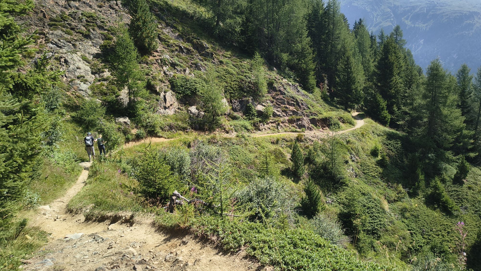
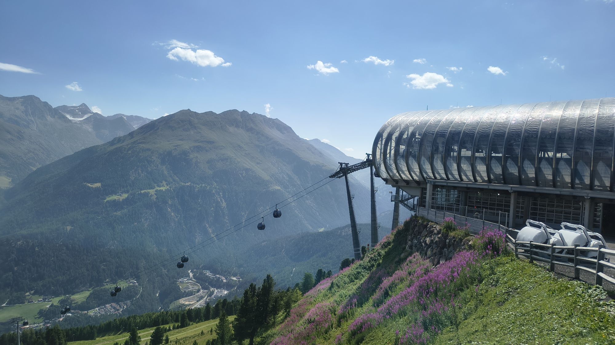
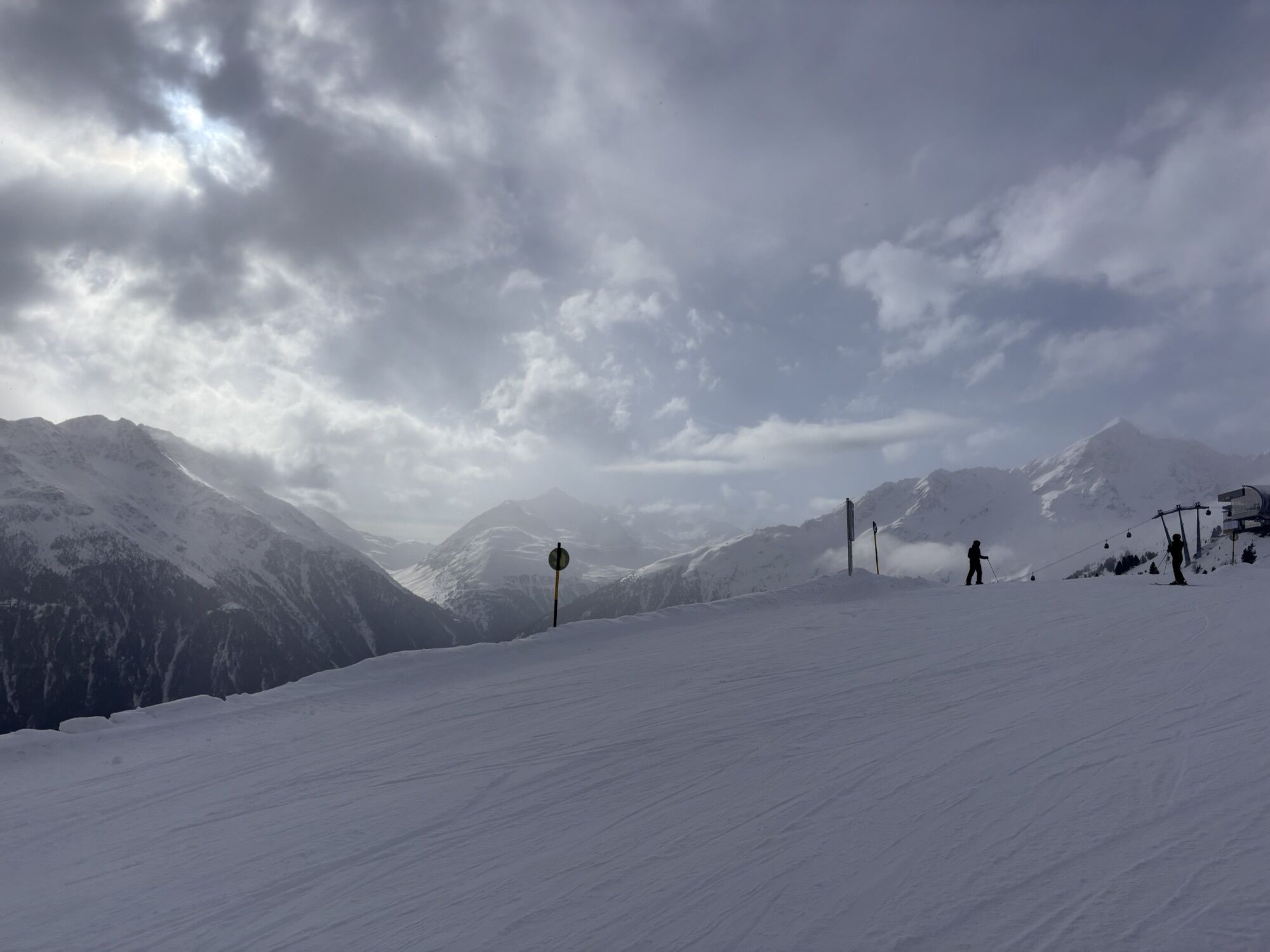
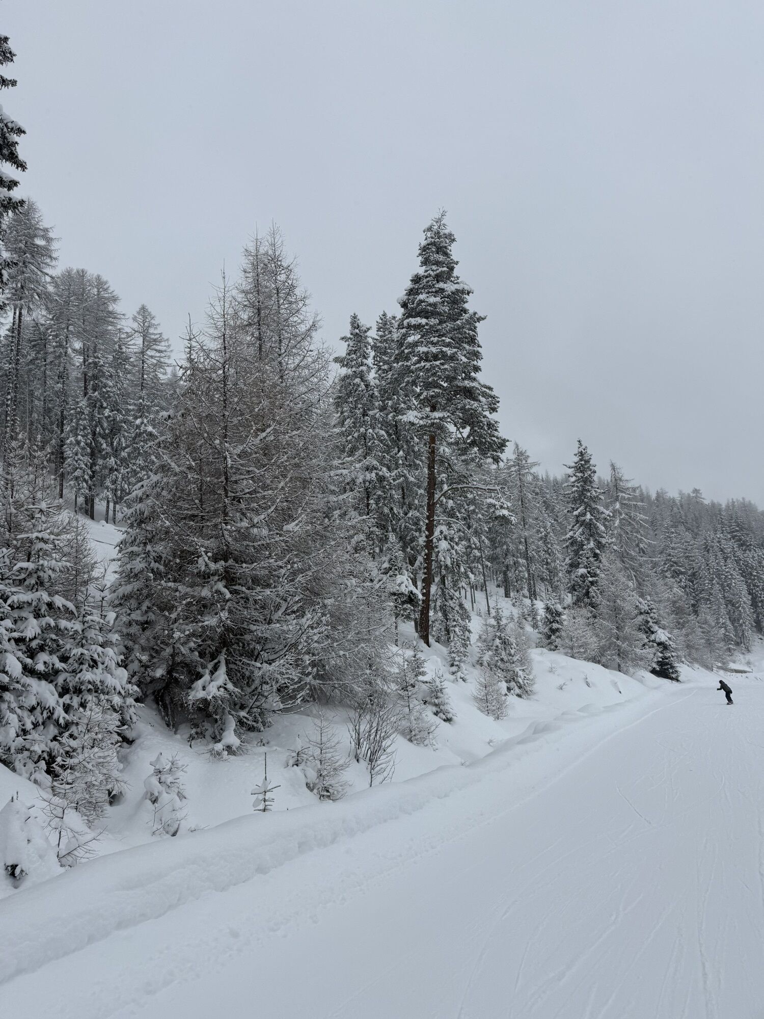
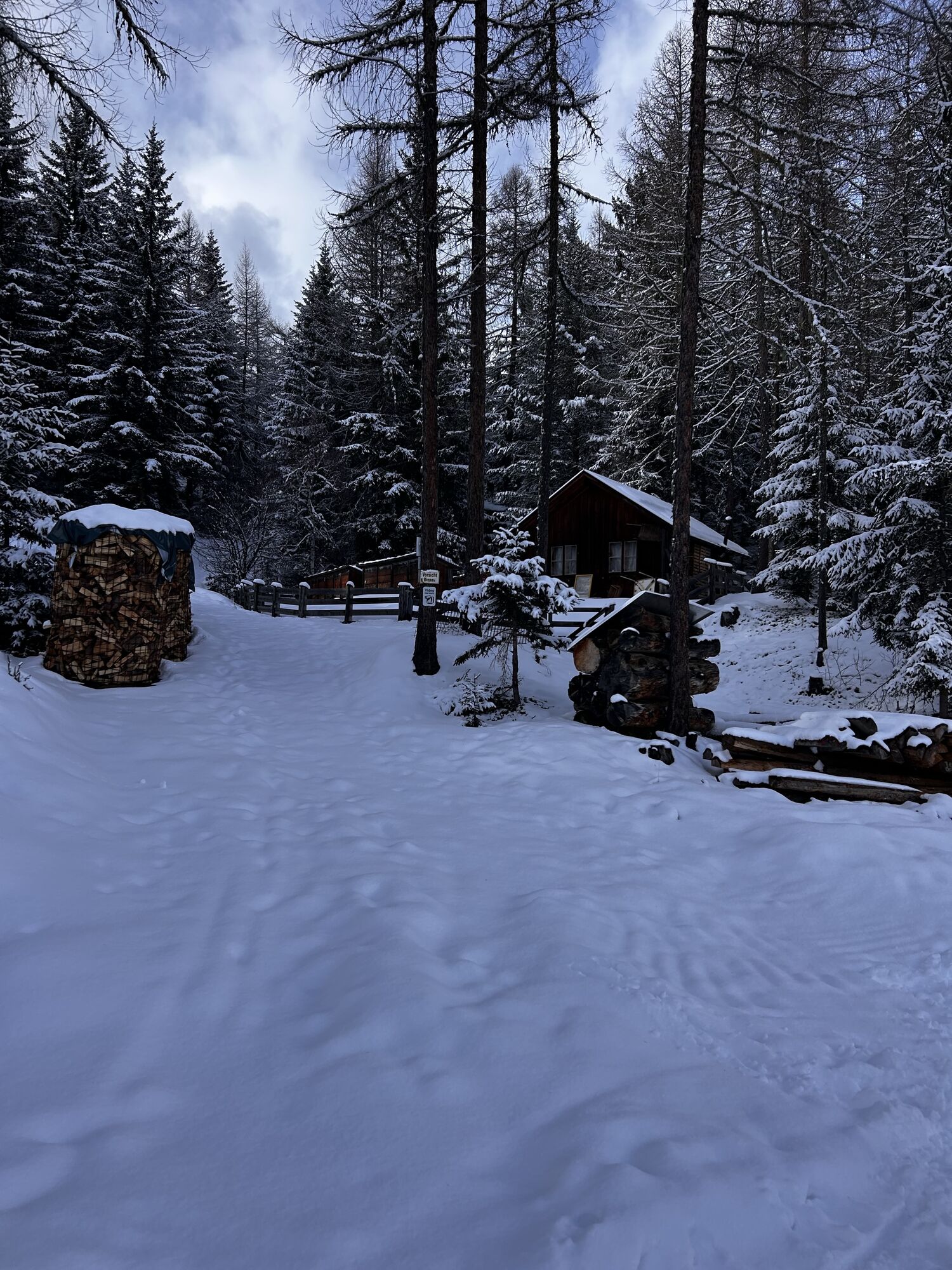
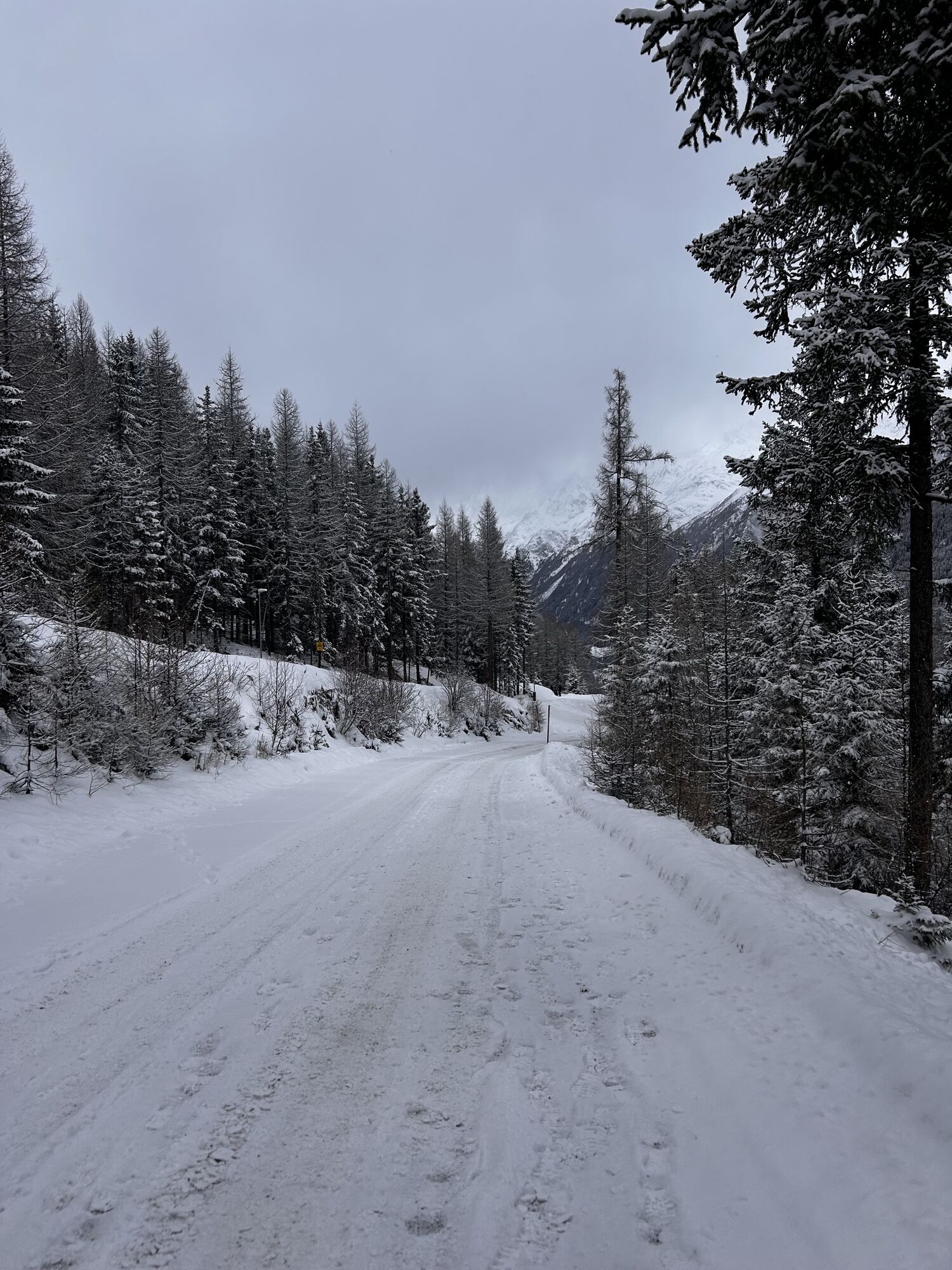
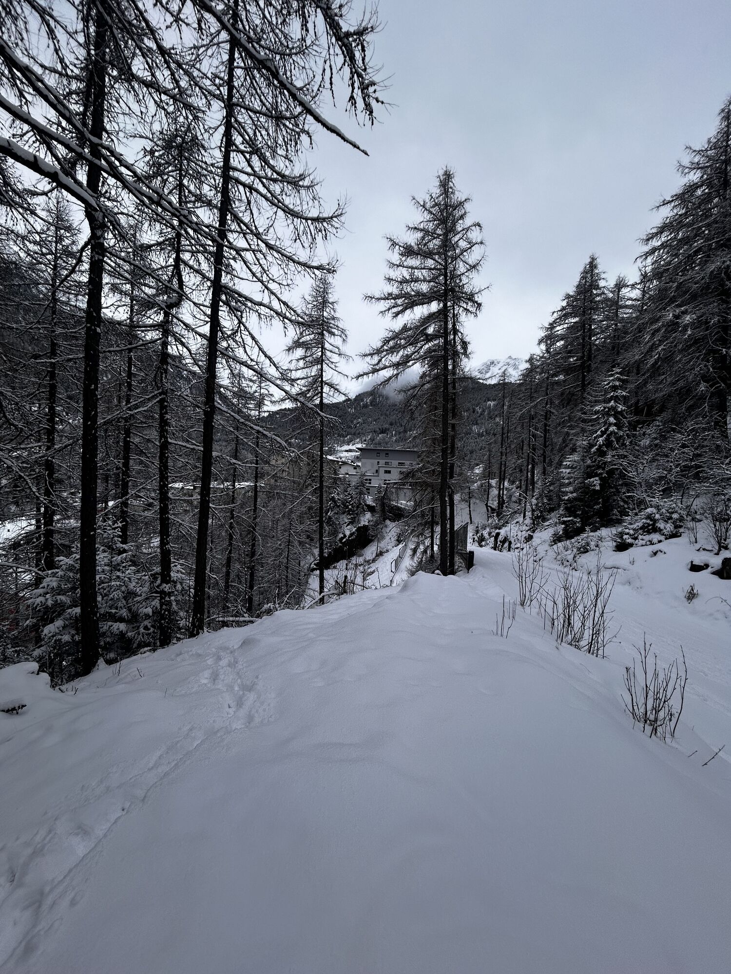
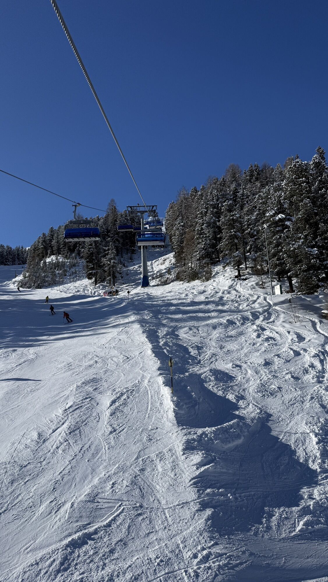
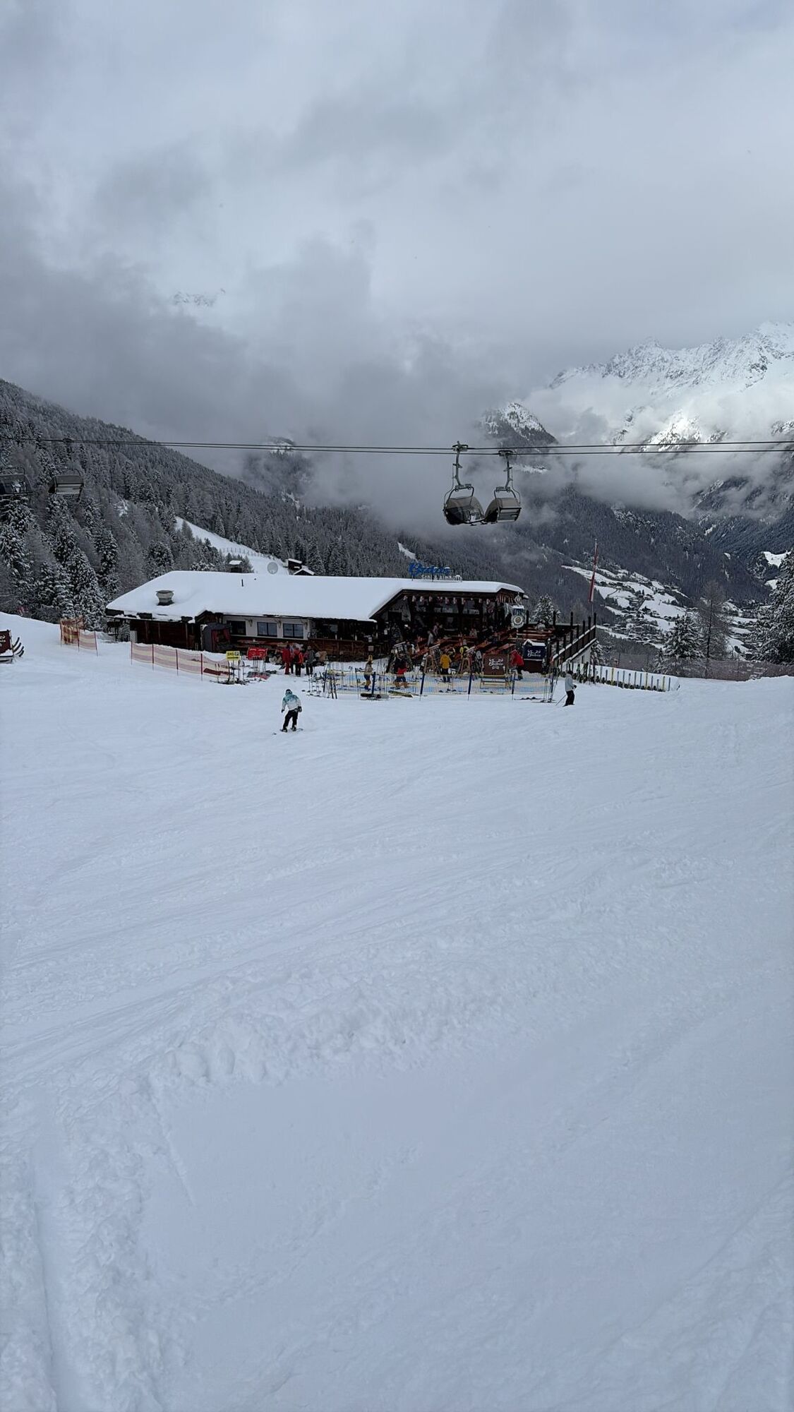

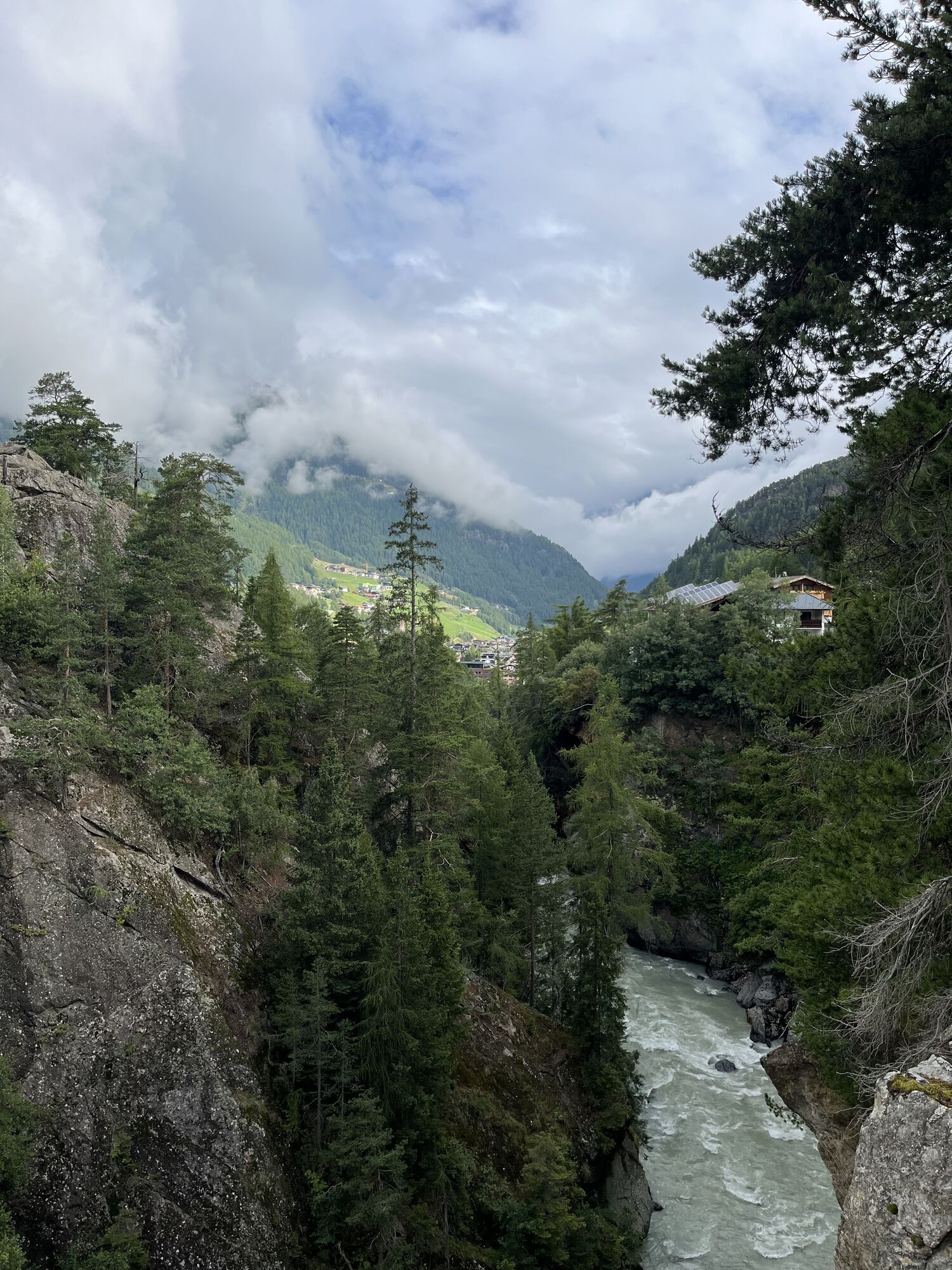
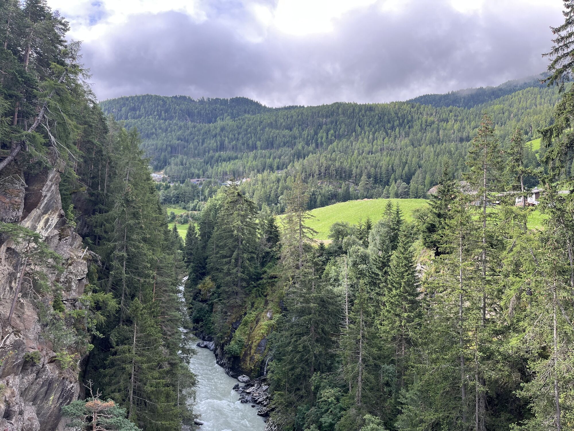
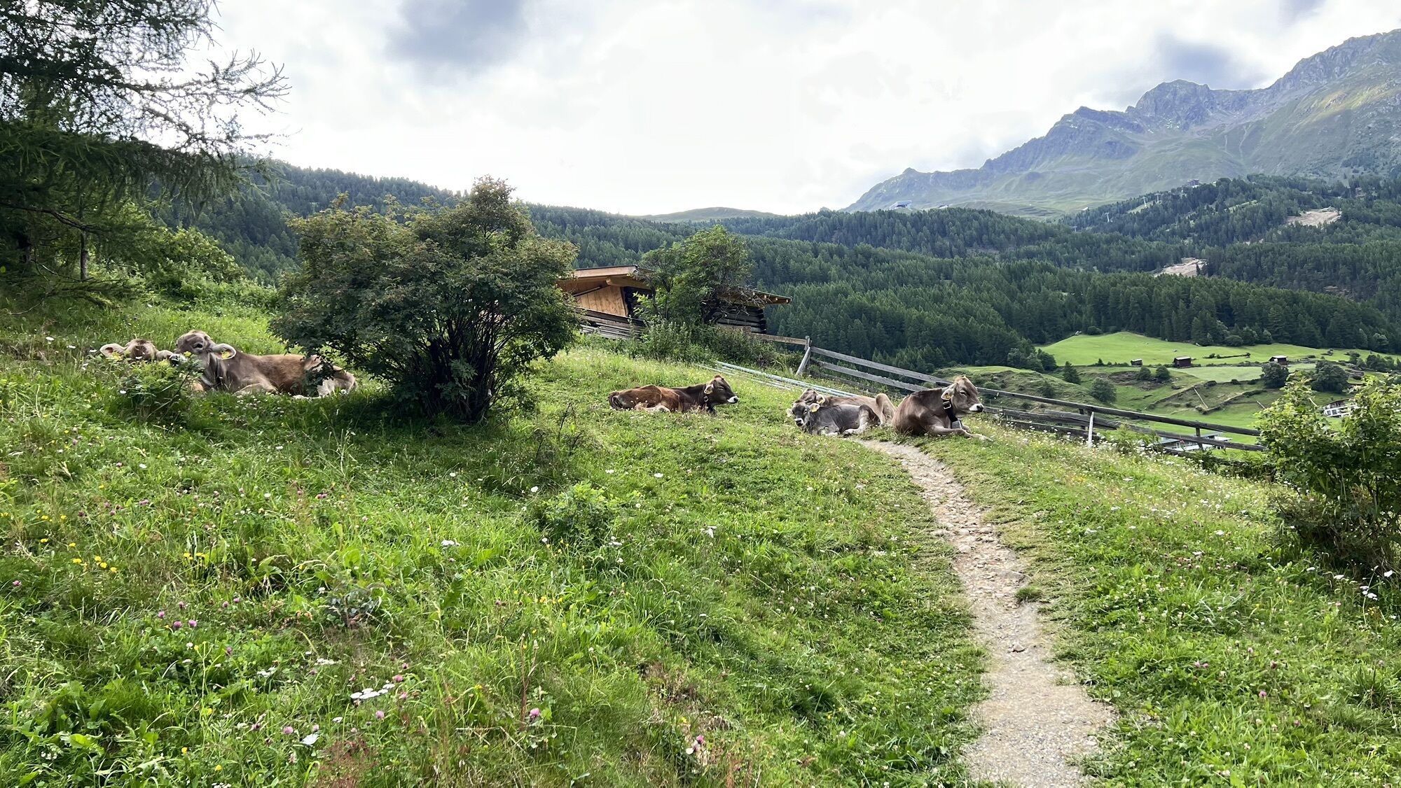

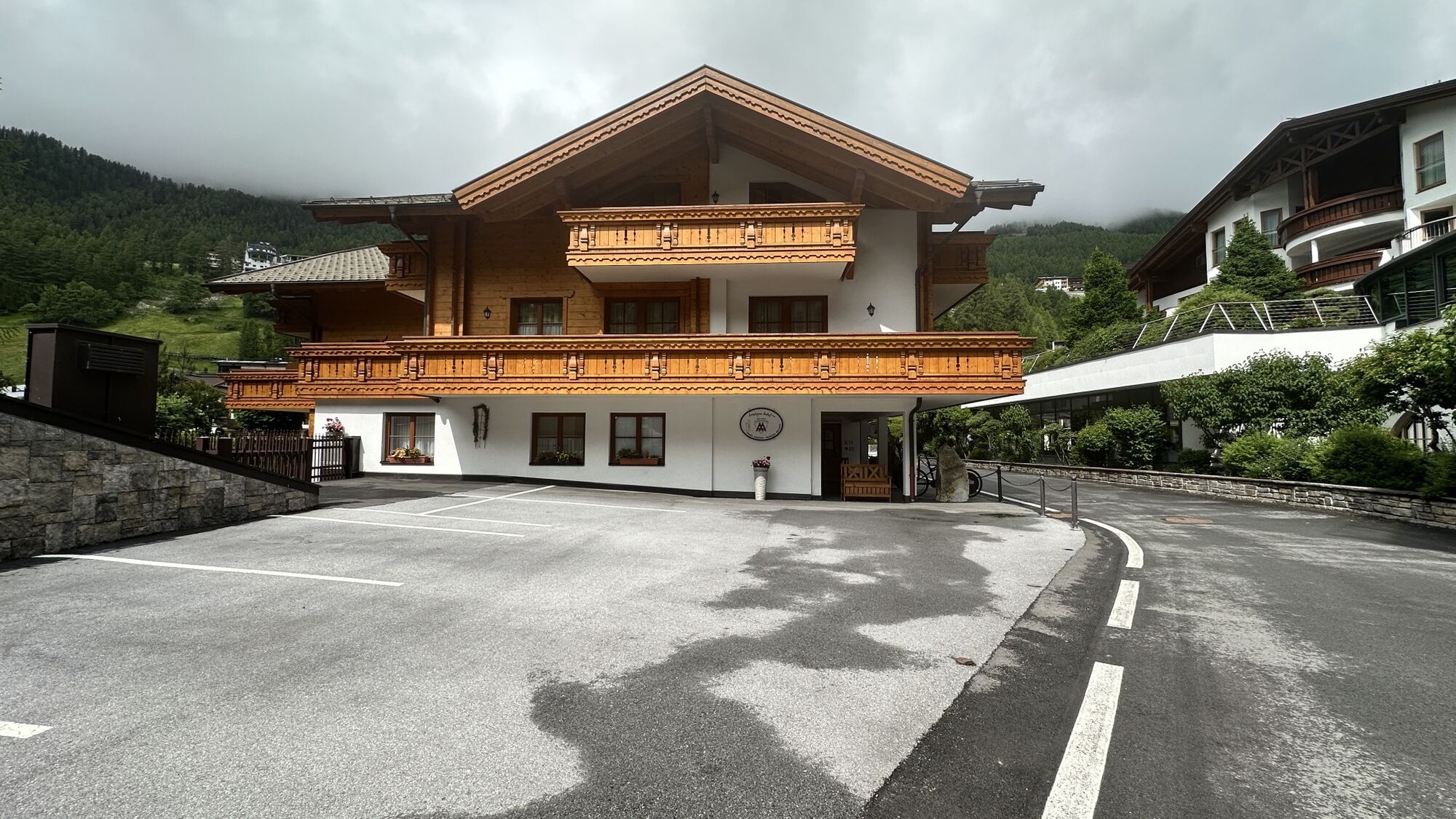
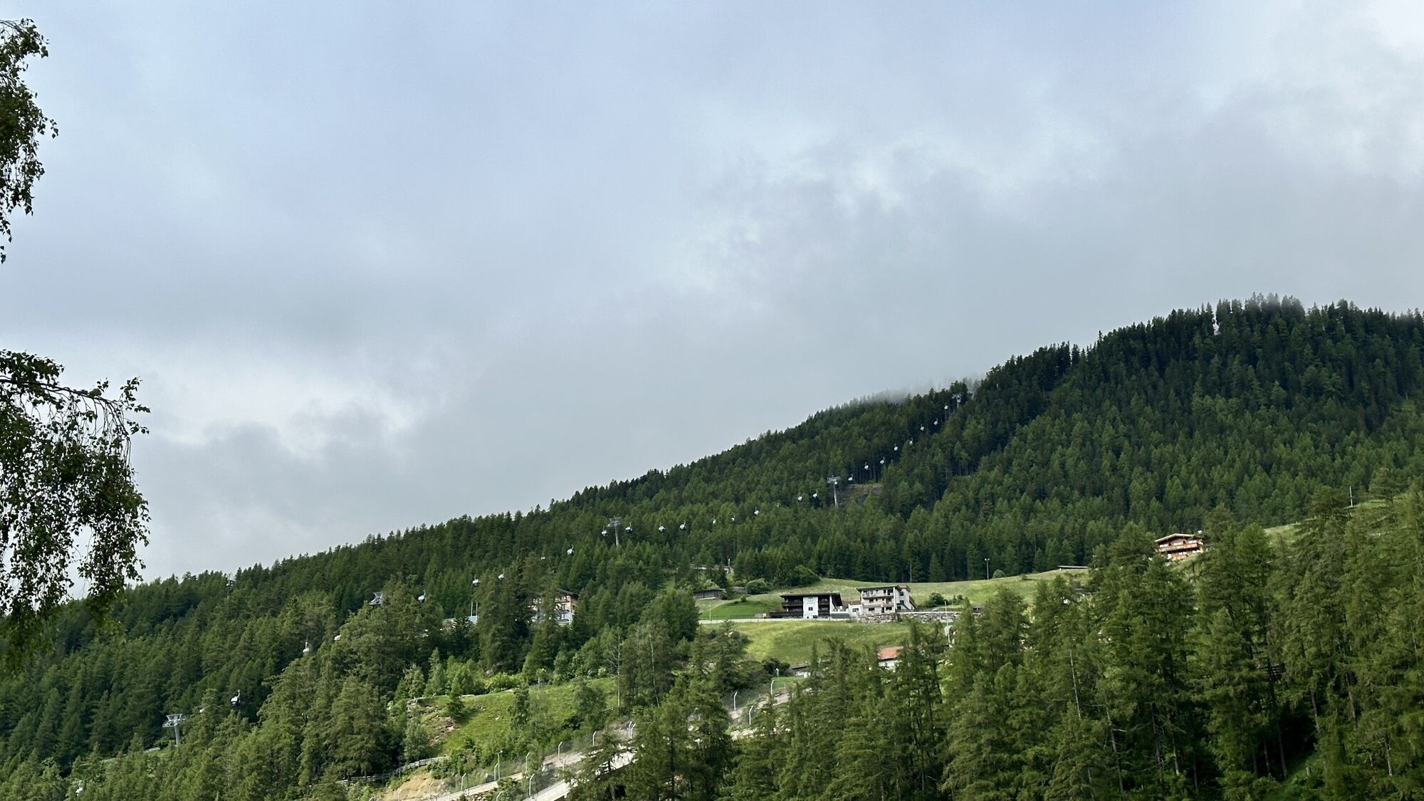
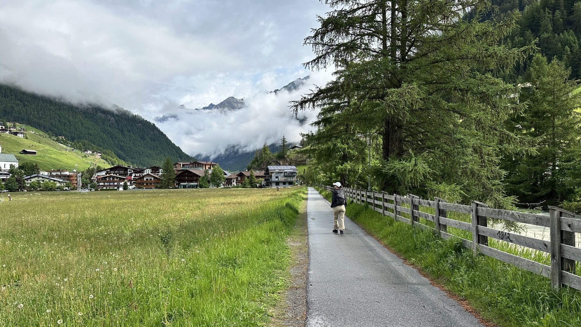
The start and finish point of the Enduro Tour Mittelstation L is the Freizeit Arena in the center of Sölden. Facing the Freizeit Arena, start to the right and follow the Ötztal bike path 11 to the valley...
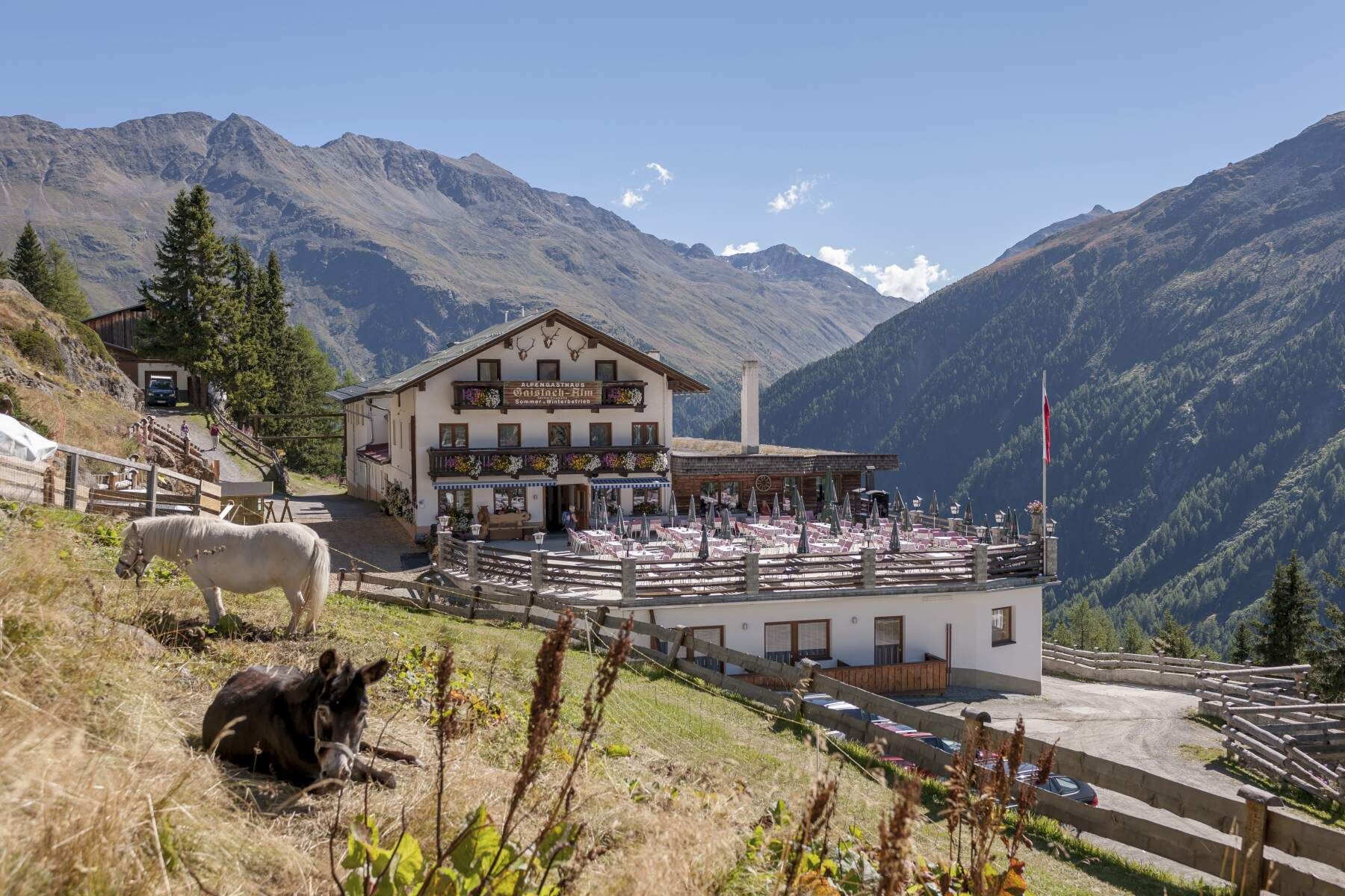
The start and finish point of the Enduro Tour Mittelstation L is the Freizeit Arena in the center of Sölden. Facing the Freizeit Arena, start to the right and follow the Ötztal bike path 11 to the valley station of the Gaislachkogelbahn. Upon reaching the Gaislachkogelbahn, turn right to get onto the federal road B186, following it to the junction with the glacier road branching from the federal road. Then proceed right up the steep glacier road, after two hairpin turns leaving the glacier road to the left along Infangstraße - direction Gaislach/Silbertal. Here you pedal calmly through the (partially open) forest up to three refreshment possibilities: Sonneck, Gaislachalm, and Heidealm, and further on to the middle station of the Gaislachkogelbahn.
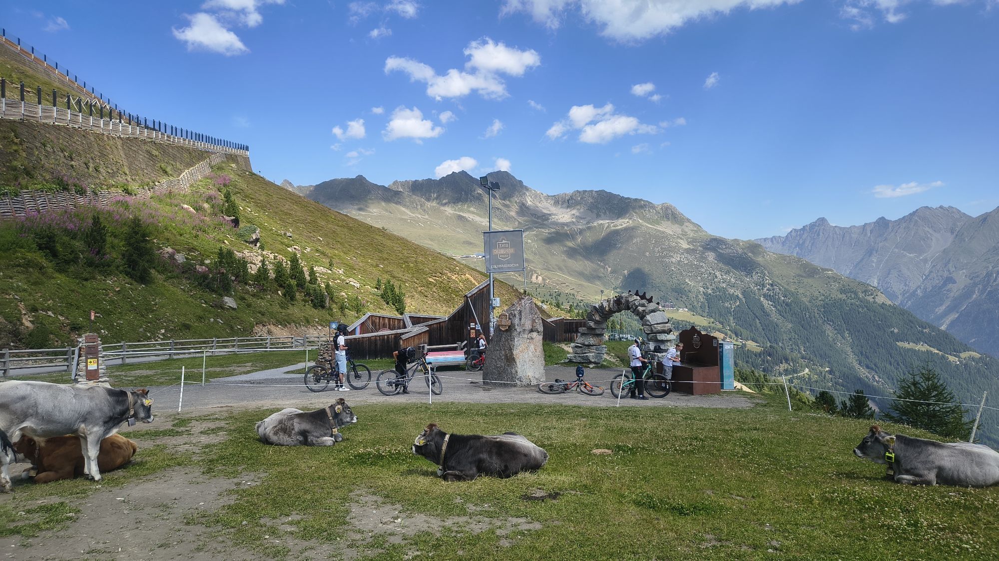
That’s the end of the uphill; from here the fine lines of the BIKE REPUBLIC await! At the stone arch after the Gailachkogelbahn, start on the flowing EEBME, which after the Langeggbahn valley station continues to the fun OHN LINE. This offers rollers and berms without end until after 3.6 km it transitions into the BROATE LINE, which takes you back to the valley.

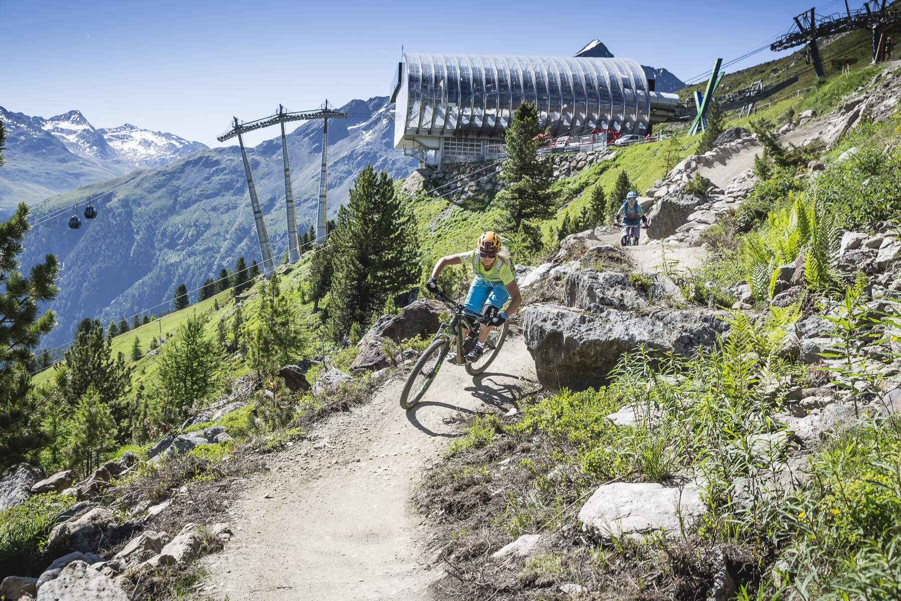
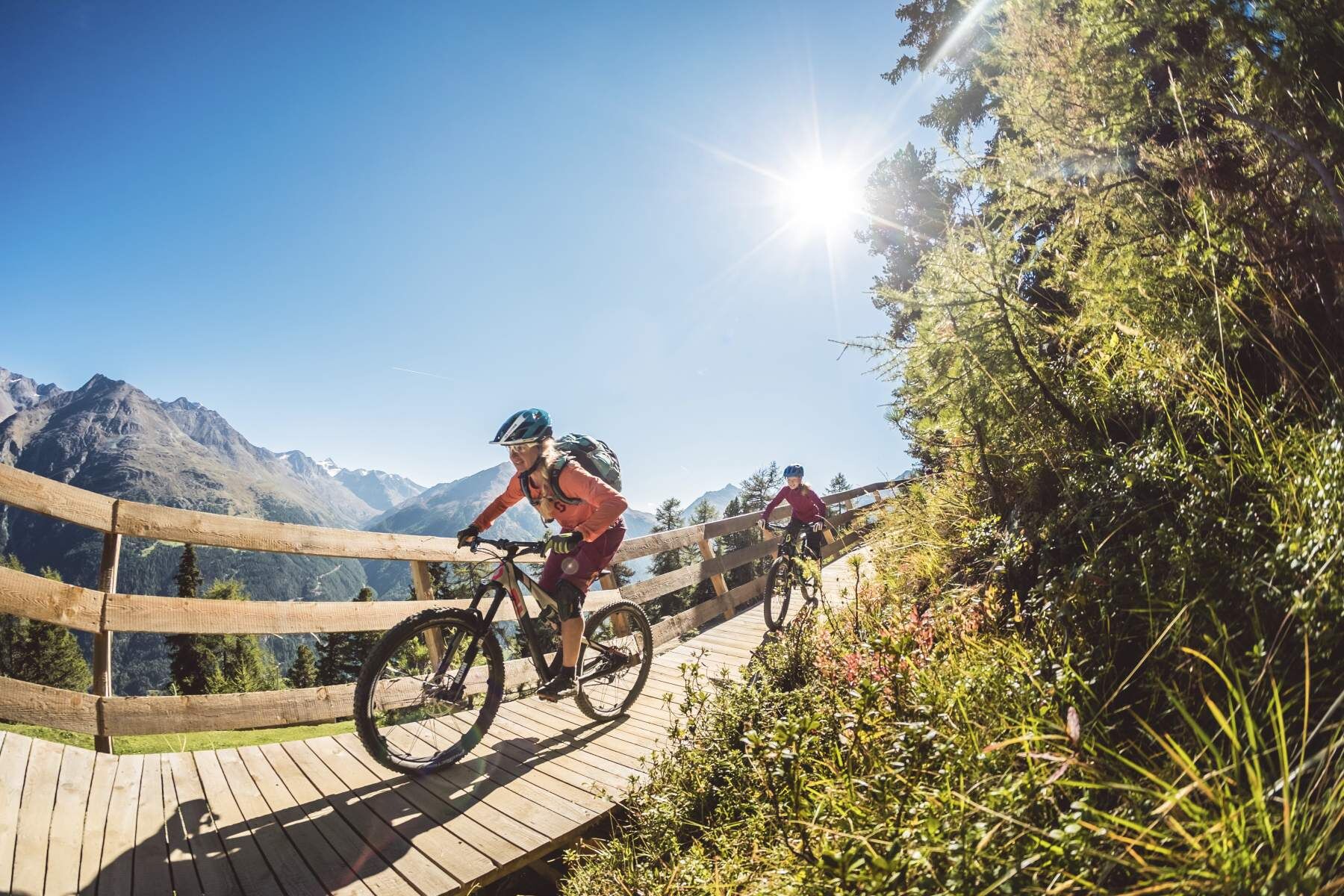

Well-equipped rules! We recommend wearing MTB protective gear (helmet, protectors for knees, elbows, back, ...) on all lines, trails, enduro routes, and mountain bike routes of the BIKE REPUBLIC SÖLDEN. All routes are exclusively designated for use with mountain bikes that meet today's quality standards.
The EEBME is a relatively easy-to-ride red line. The OHN LINE is blue and is also well suited for trail beginners. However, approach the varied route with caution.
In the BIKE REPUBLIC SÖLDEN, it’s all about shared fun in bike sports – regardless of your riding level. Be considerate of each other and support one another. And behave just as respectfully towards all other people on the mountain and in the valley – and towards nature.
-> Stay on the paved and signposted paths. Do not ride over open meadows!
-> Avoid locking the rear wheel and help preserve the trails.
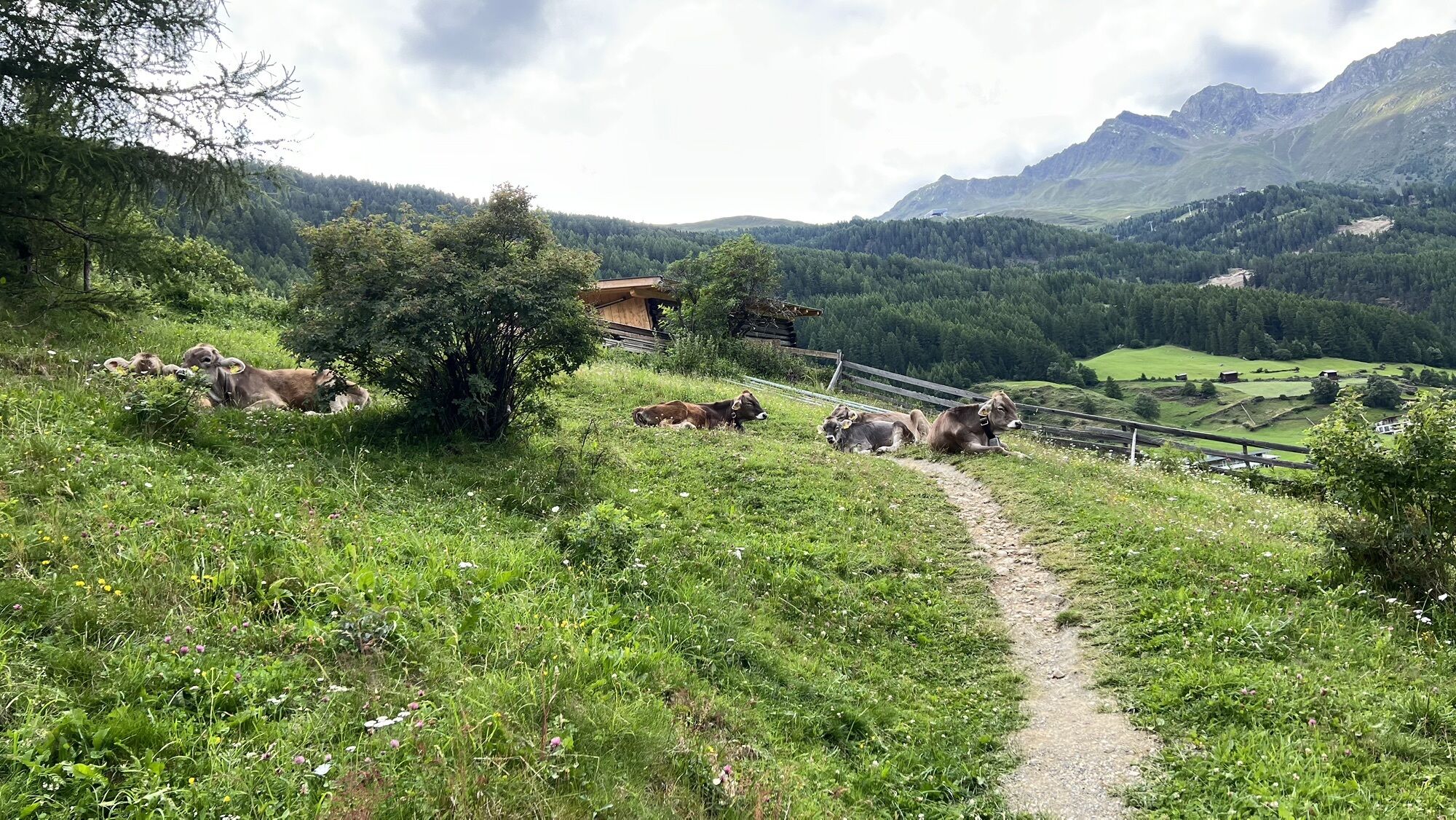
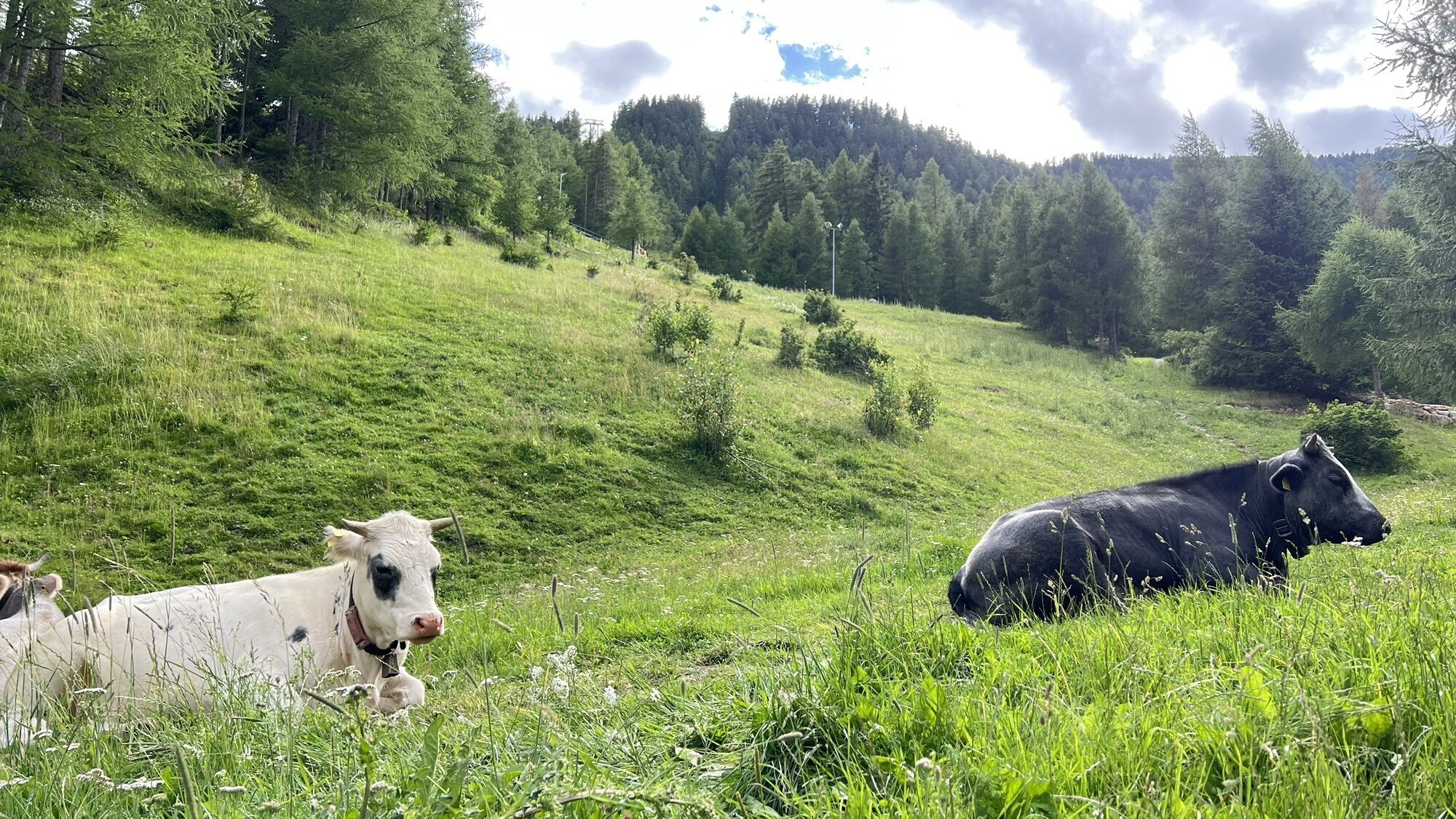
-> Be considerate of animals & close the pasture gates. Cows can always be on the trails and lines. Ride carefully and keep distance!
WHERE IS SÖLDEN LOCATED?
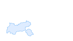
Sölden is located in the west of Austria, in the state of TYROL, in a southern side valley of the Inn valley – the ÖTZTAL.
Arrival from the west:
From Vorarlberg to Tyrol via the Arlberg pass or through the Arlberg tunnel (S 16) - Landeck - motorway A 12 towards Innsbruck - exit Ötztal after Roppener tunnel - B 186 (35 km) to Sölden
From the north:
- Bad Tölz - Achen pass - B 181 - Jenbach - A 12 Innsbruck towards Bregenz - exit Ötztal - B 186 (35 km) to Sölden
- Pfronten - Reutte - Fern pass - Imst - A 12 towards Innsbruck - exit Ötztal after Roppener tunnel or B 171 Tiroler Strasse to Ötztal (toll-free) - B 186 (35 km) to Sölden
- Garmisch Partenkirchen - Ehrwald - Lermoos - Fern pass - Imst - A 12 towards Innsbruck - exit Ötztal after Roppener tunnel or B 171 Tiroler Strasse to Ötztal (toll-free) - B 186 (35 km) to Sölden
- Garmisch Partenkirchen - Mittenwald - Scharnitz - Seefeld in Tirol - Telfs - A 12 towards Bregenz - exit Ötztal or B 171 Tiroler Strasse to Ötztal (toll-free) - B186 (35 km) to Sölden
From the east:
From Munich or Salzburg on the A 93 to Kufstein, then on the A 12 towards Bregenz, via Innsbruck to the exit Ötztal, then continue on B 186 (35 km) to Sölden
From the south:
From Bolzano heading towards Brenner (toll road) - Brenner motorway via the Schönberg toll station towards Innsbruck - from Innsbruck on A 12 towards Bregenz to the Ötztal access - continue on B 186 (35 km) to Sölden
Arrival by train
Travel comfortably and safely by train to the Ötztal train station. A scheduled bus departs directly from the station square towards Obergurgl. The bus ride to Sölden takes about 1 to 1.5 hours.
All important information about bus schedules, connections, and taxi companies can be found here.
There are sufficient parking spaces at the valley stations of the Gaislachkoglbahn and the Giggijochbahn, and parking garages are also available.
The parking spaces are chargeable.
Paid overnight parking of cars in the Gaislachkogl parking garage is possible:
more information about overnight parking
S1
More info about biking & cycling in the Ötztal: https://www.oetztal.com/biken
More info about the arguably flowiest nation of the Alps, the BIKE REPUBLIC SÖLDEN: https://bikerepublic.soelden.com
And more video content here: https://www.youtube.com/c/BikeRepublicSöldenSoeldenSolden


Webové kamery z prohlídky
-
Seekogel
-
Gaislachkogel
-
Sölden - Tiefenbachferner Tal
-
Sölden - Rettenbachferner
-
Sölden - Hochsölden
-
Sölden - Grünwald Resort
-
Top Mountain Crosspoint Hochgurgl
-
Sölden - Grünwald Resort
-
Giggijoch
-
Giggijoch
-
Giggijoch
-
Giggijoch
-
Giggijoch
-
Giggijoch
-
Giggijoch
-
Sölden - Gaislachkogelbahn Mittelstation
-
Sölden - Schwarzkogl Talstation
-
Hochstubaihütte
-
Hochstubaihütte
-
Sölden Ort
-
The Peak Sölden**** Chalets und Appartements

Oblíbené prohlídky v okolí
-
4.7
Winnebachsee Hut – Längenfeld/Gries
středníTuristika 4.74 km -
4.6
Vent - Wilder Mann - Breslauer Hütte - Stableinalm
středníTuristika 7.25 km -
4.7
Winter circular route Brandalm/Burgstein - Längenfeld 204
středníZimní turistika 5.44 km -
4.4
Rundwanderung Hängebrück3
světloTuristika 6.32 km -
4.4
Hohe Geige über Gawinden und den Westgrat
heavyTuristika 14.3 km -
3.8
Breslauer Hut
středníTuristika 4.75 km -
4.3
Amberger Hut - Längenfeld/Gries
středníTuristika 5.60 km -
4.4
Hochtour Wildspitze, 3.768m
středníVysokohorská turistika 9.75 km -
3.5
Tiefenbachglacier - Mountaineering Village Vent
středníTuristika 10.8 km -
5.0
Obergurgl - Ramolhaus
Turistika 7 km

Pěší turistika a stopování


Nenechte si ujít nabídky a inspiraci pro vaši příští dovolenou
Vaše e-mailová adresa byl přidán do poštovního seznamu.





