


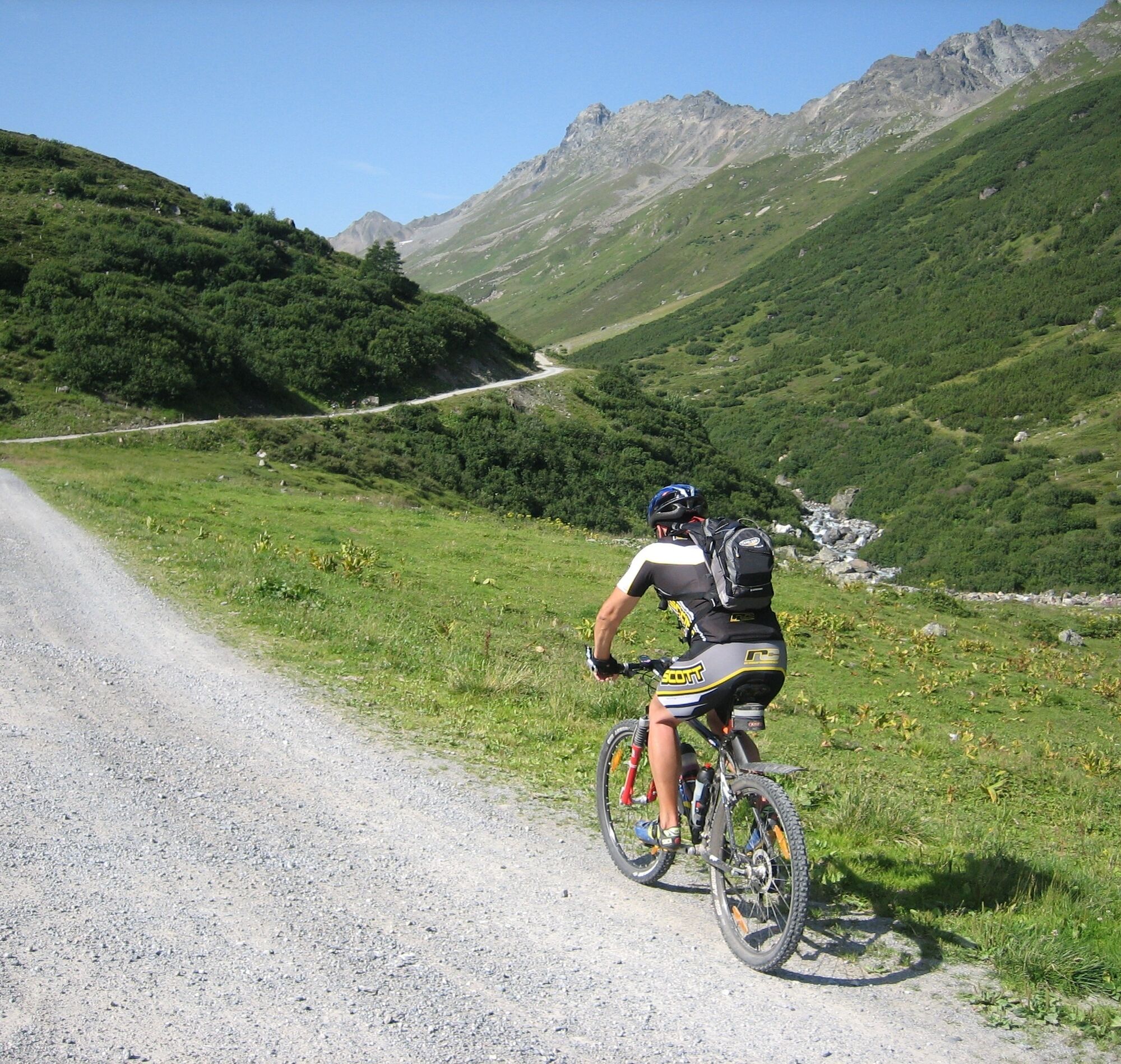
Trip Tirol ➤ Mountainbike - Fügen - Finsinggrund - Gartalm
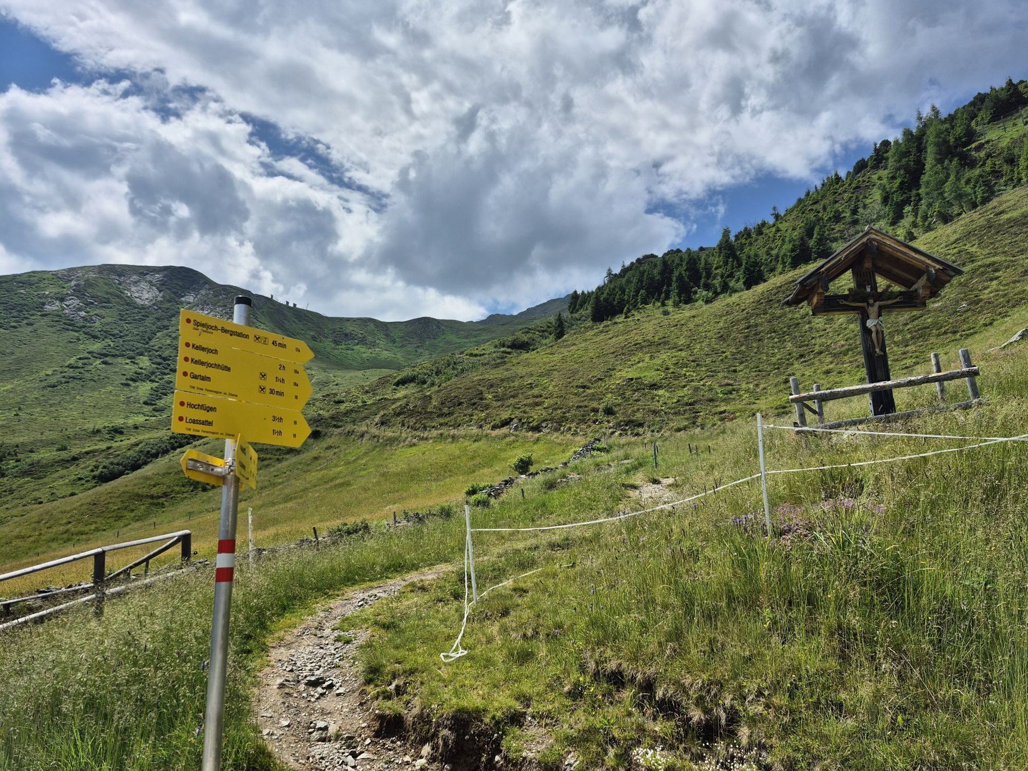
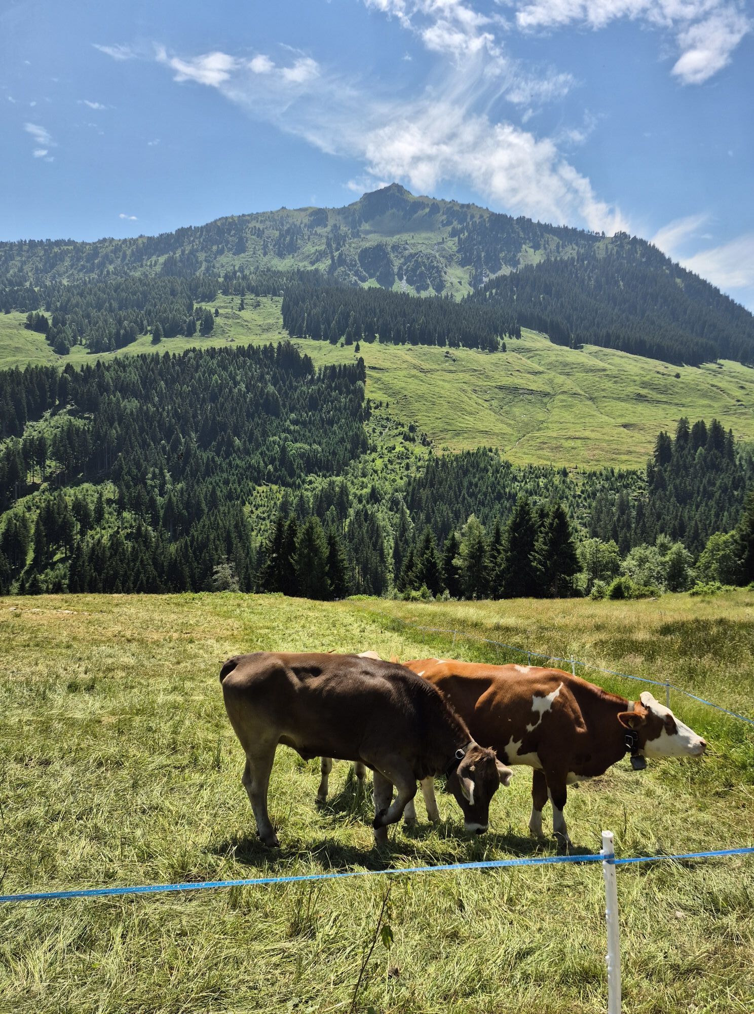
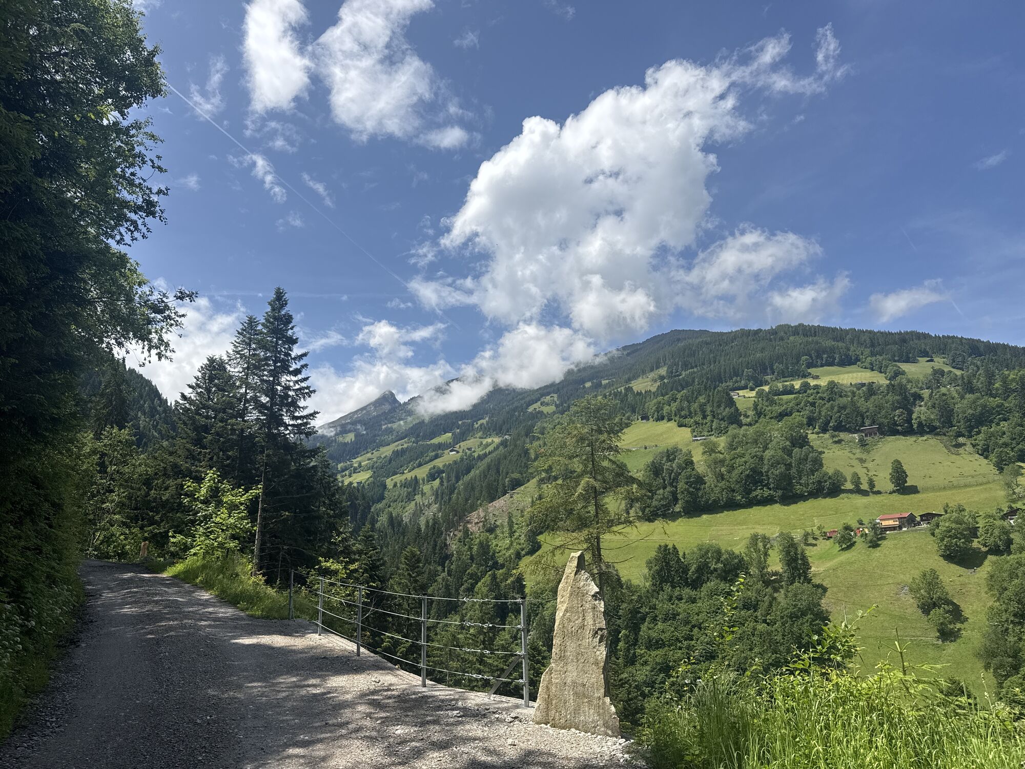

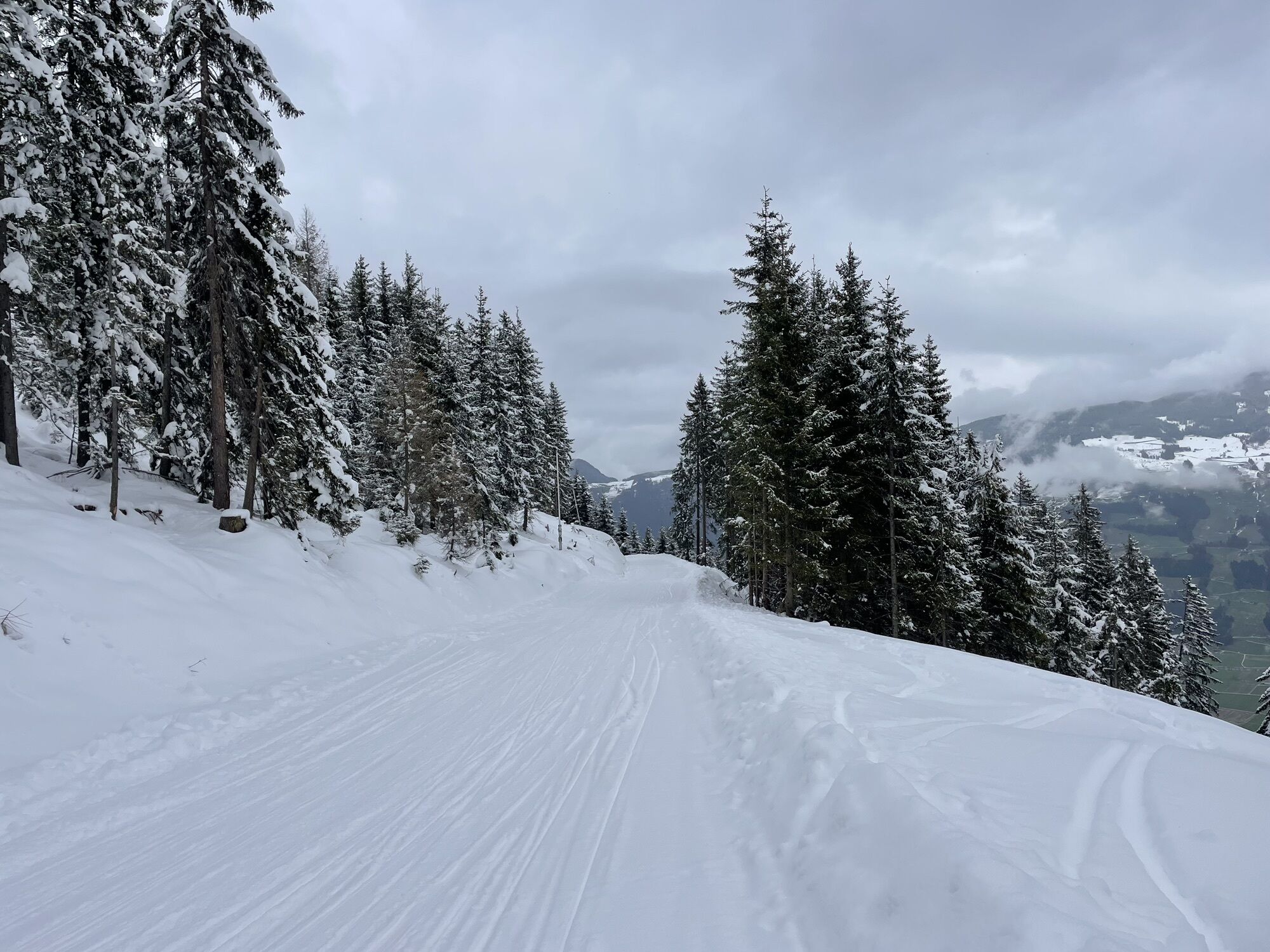
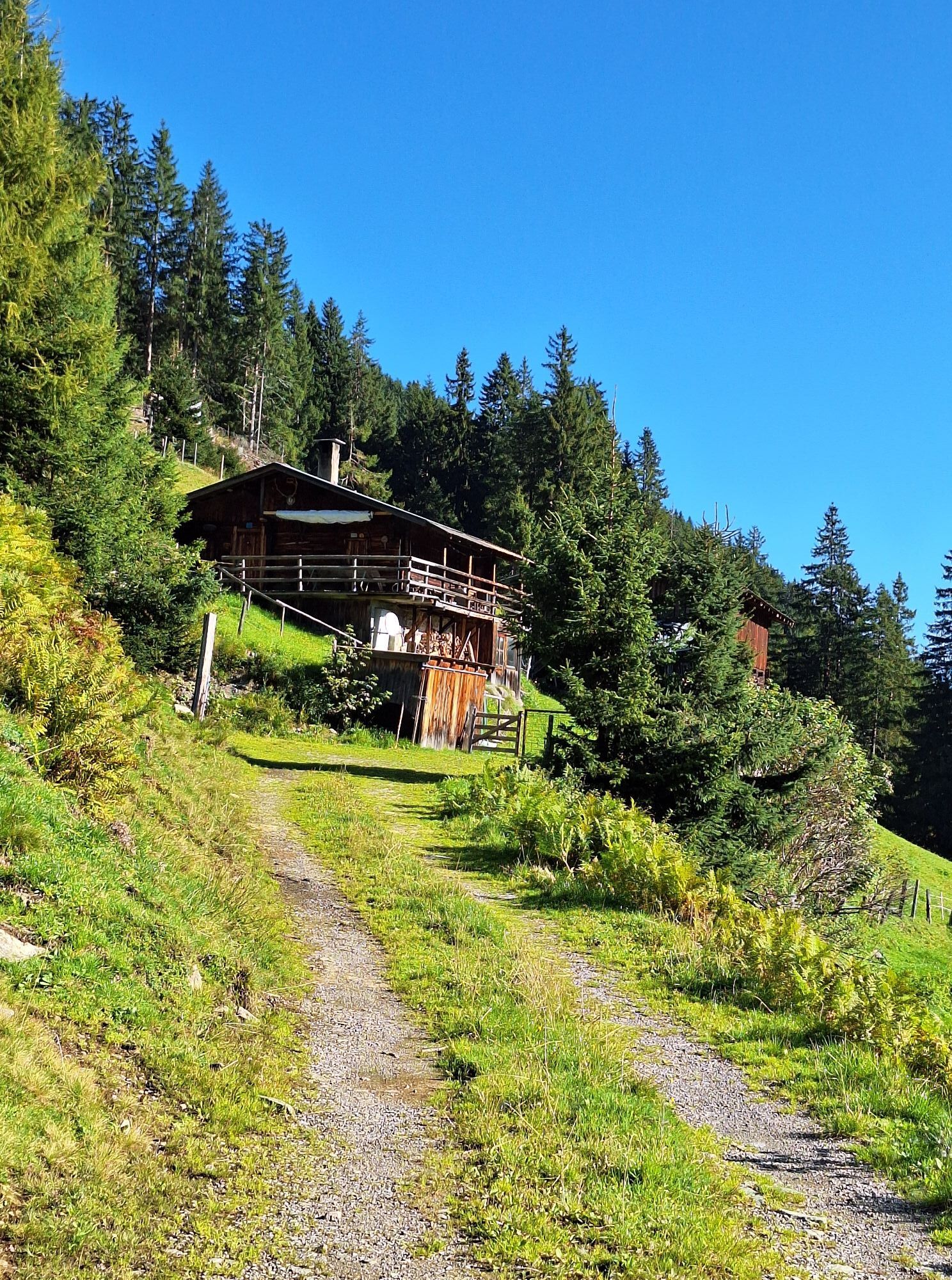
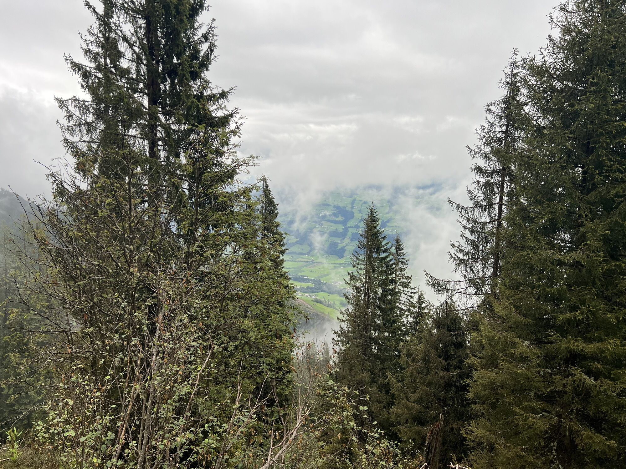

At the intersection, turn right on the paved mountain road up Kupfnerberg. Before the Oberhaus snack station, the route branches off to the right into the Finsinggrund. Then the route merges into a forest...
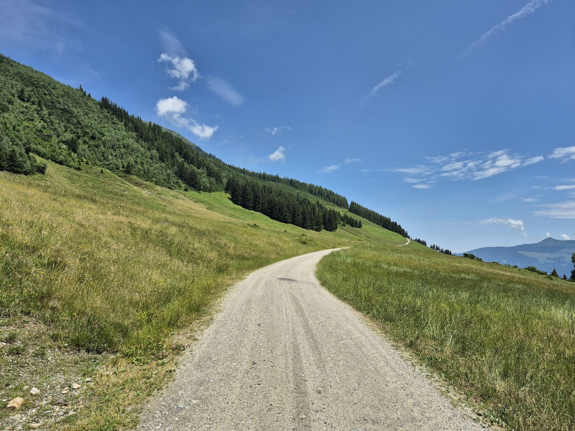
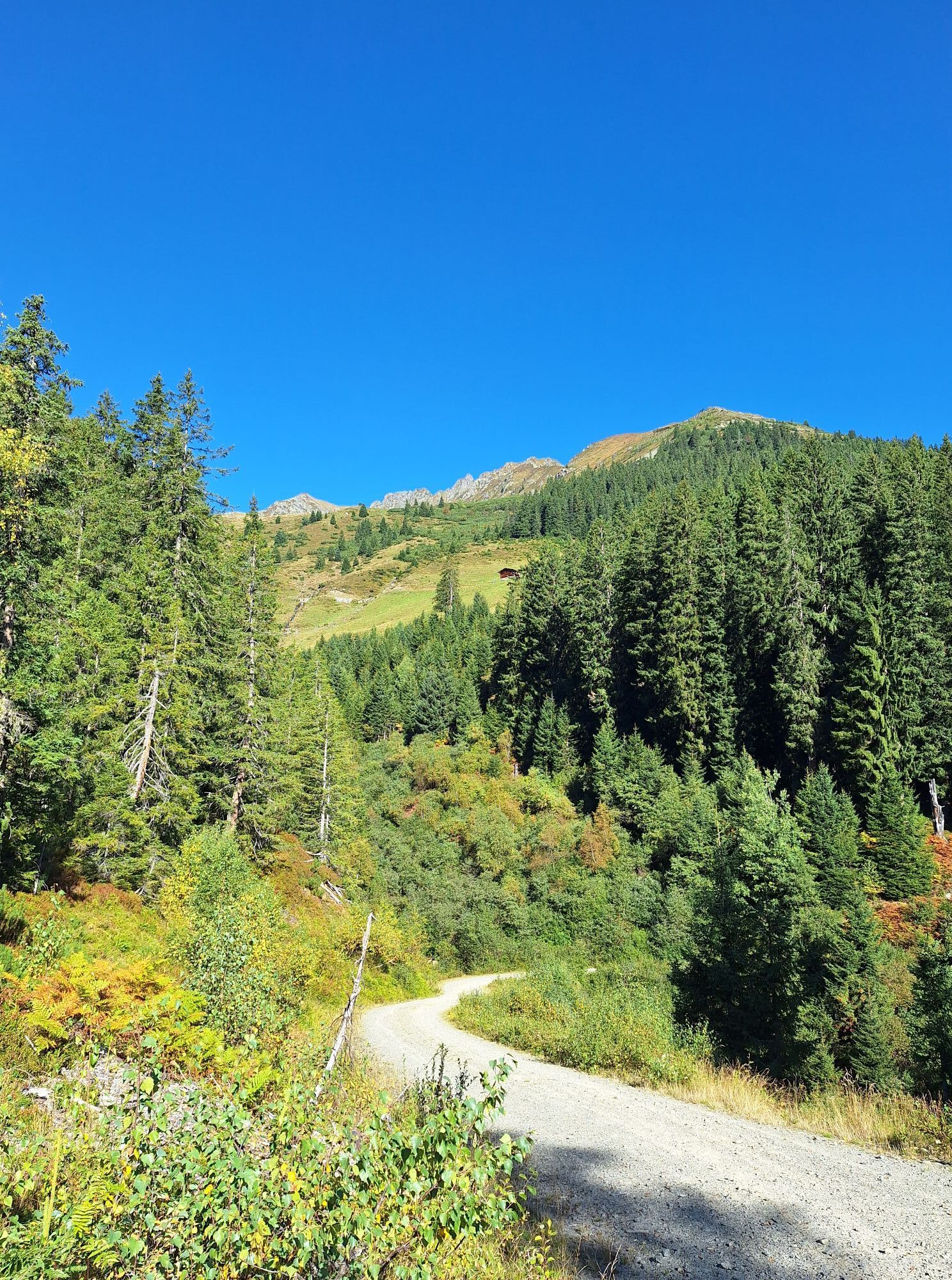
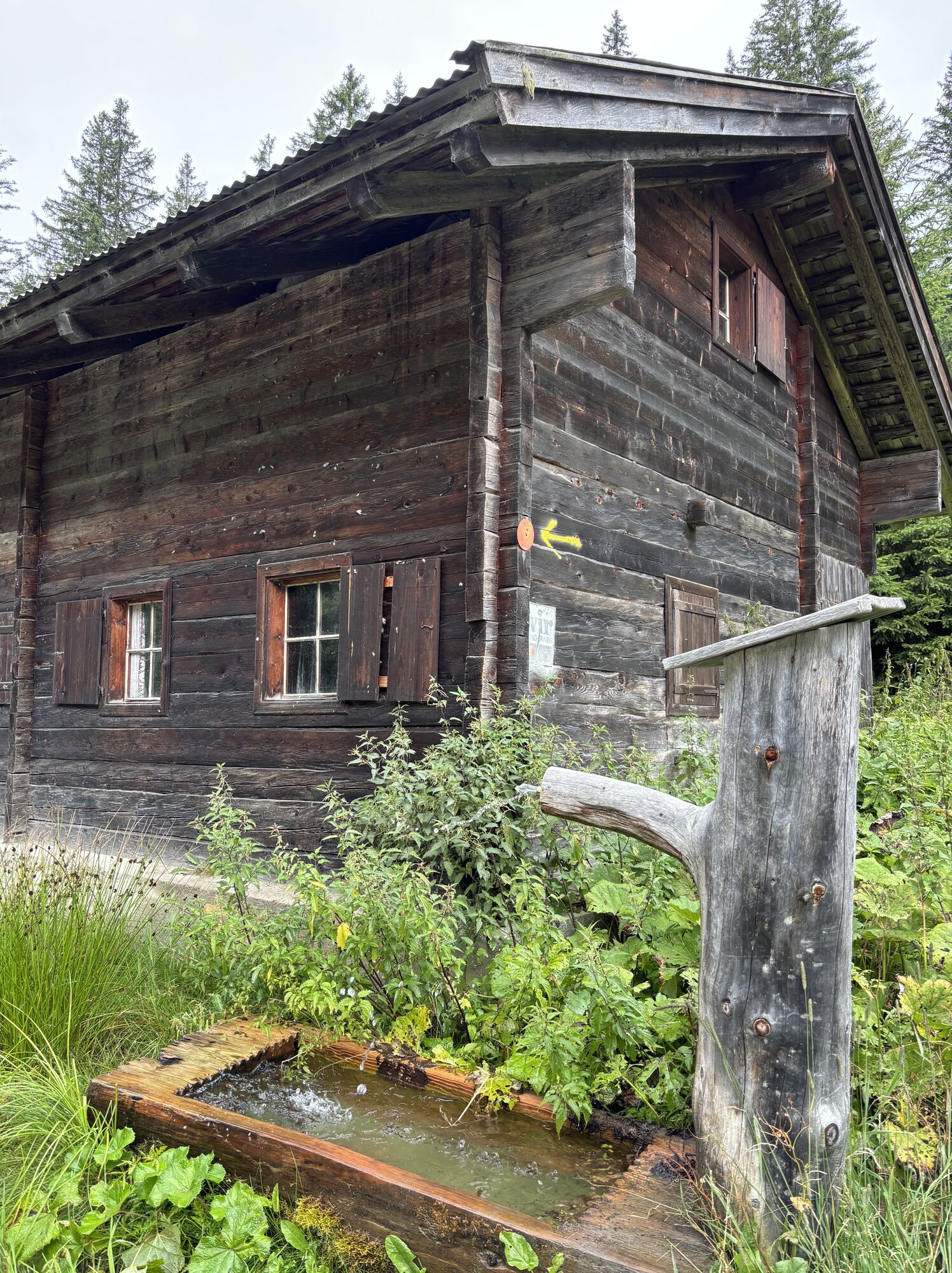
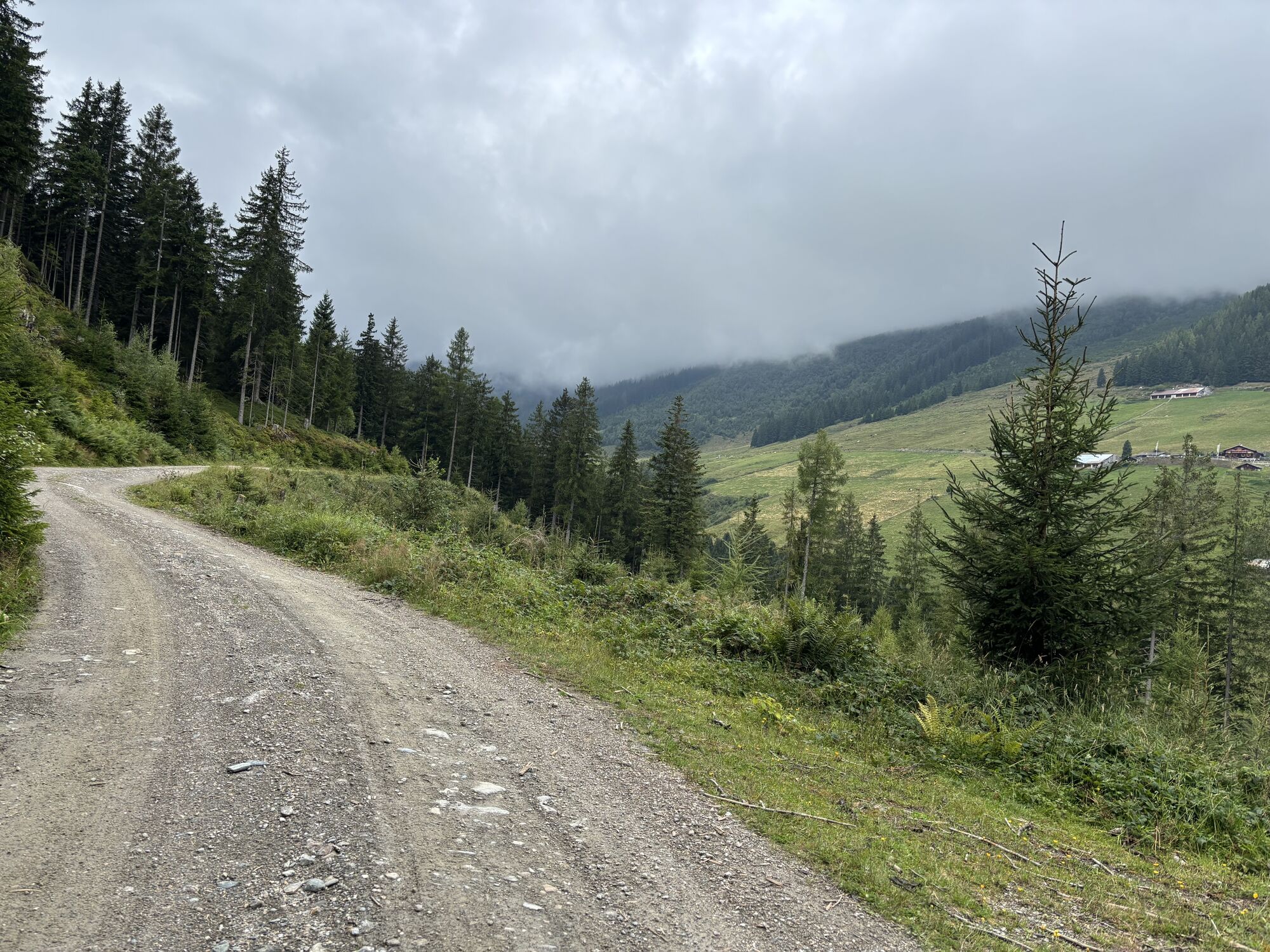
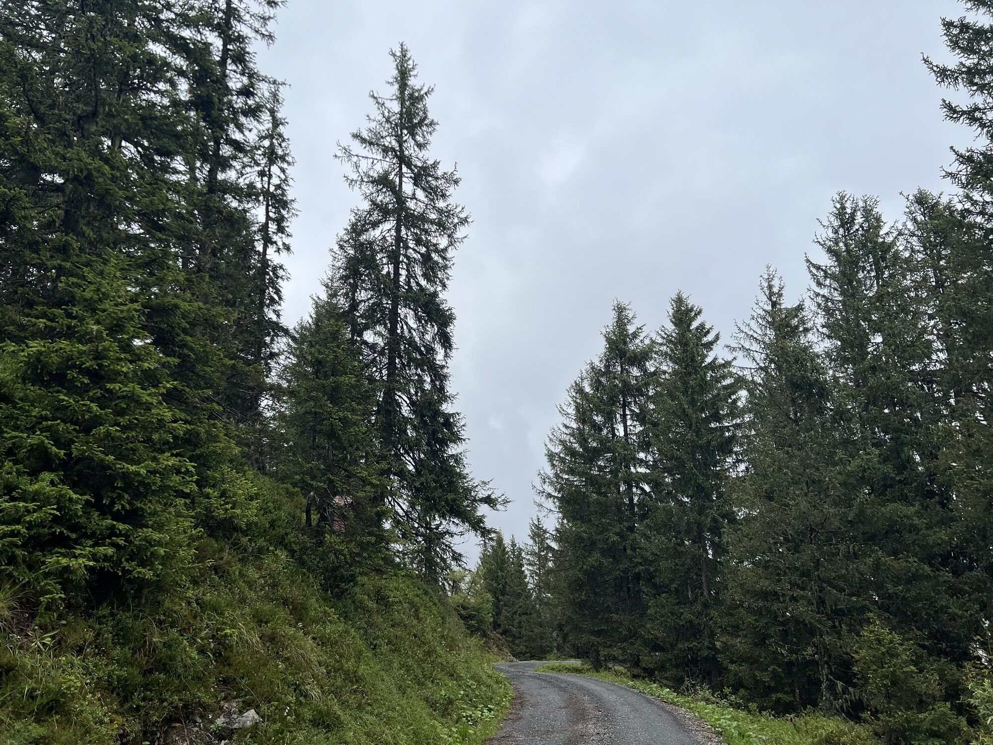
At the intersection, turn right on the paved mountain road up Kupfnerberg. Before the Oberhaus snack station, the route branches off to the right into the Finsinggrund. Then the route merges into a forest road, which mostly runs through the forest to the Hochfügen/Schellenberg junction. A fountain with drinking water is located directly at the intersection. After refilling the bottles, continue along the forest road to the Hochfügener Straße.
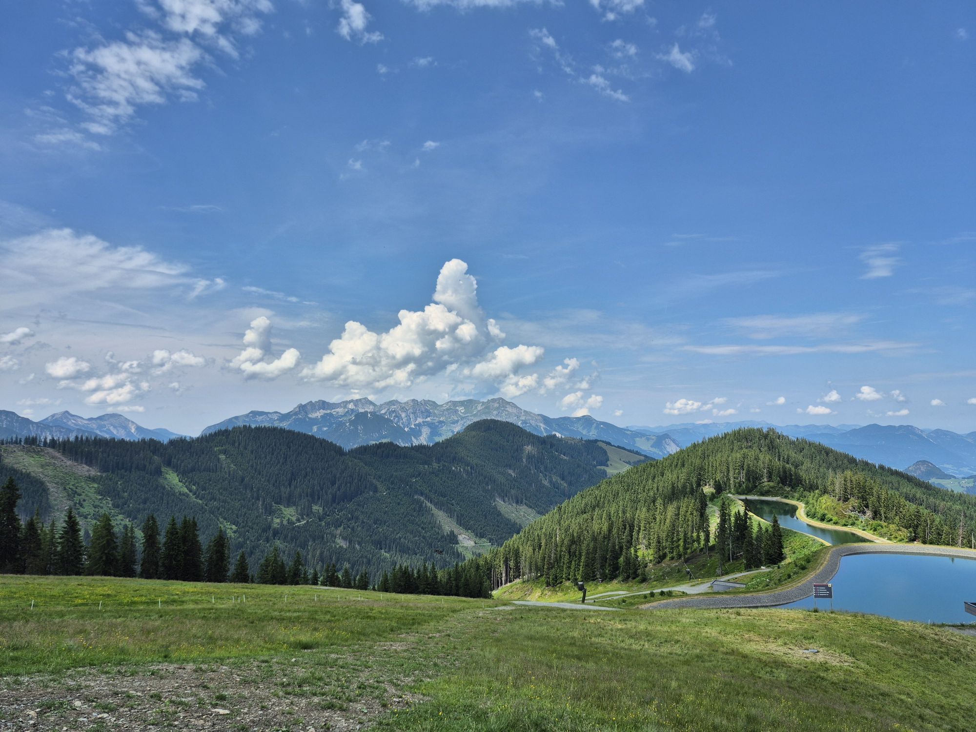
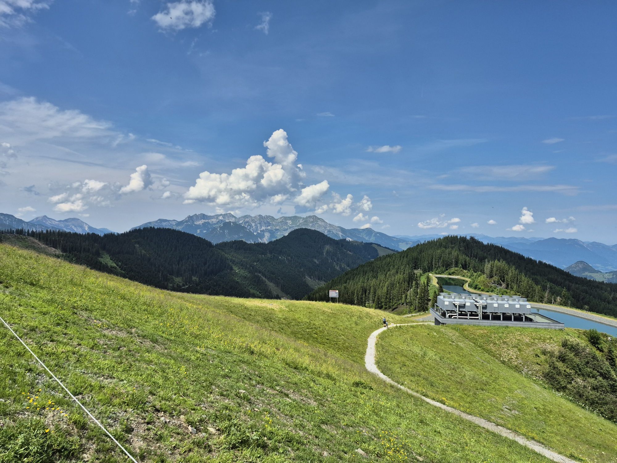
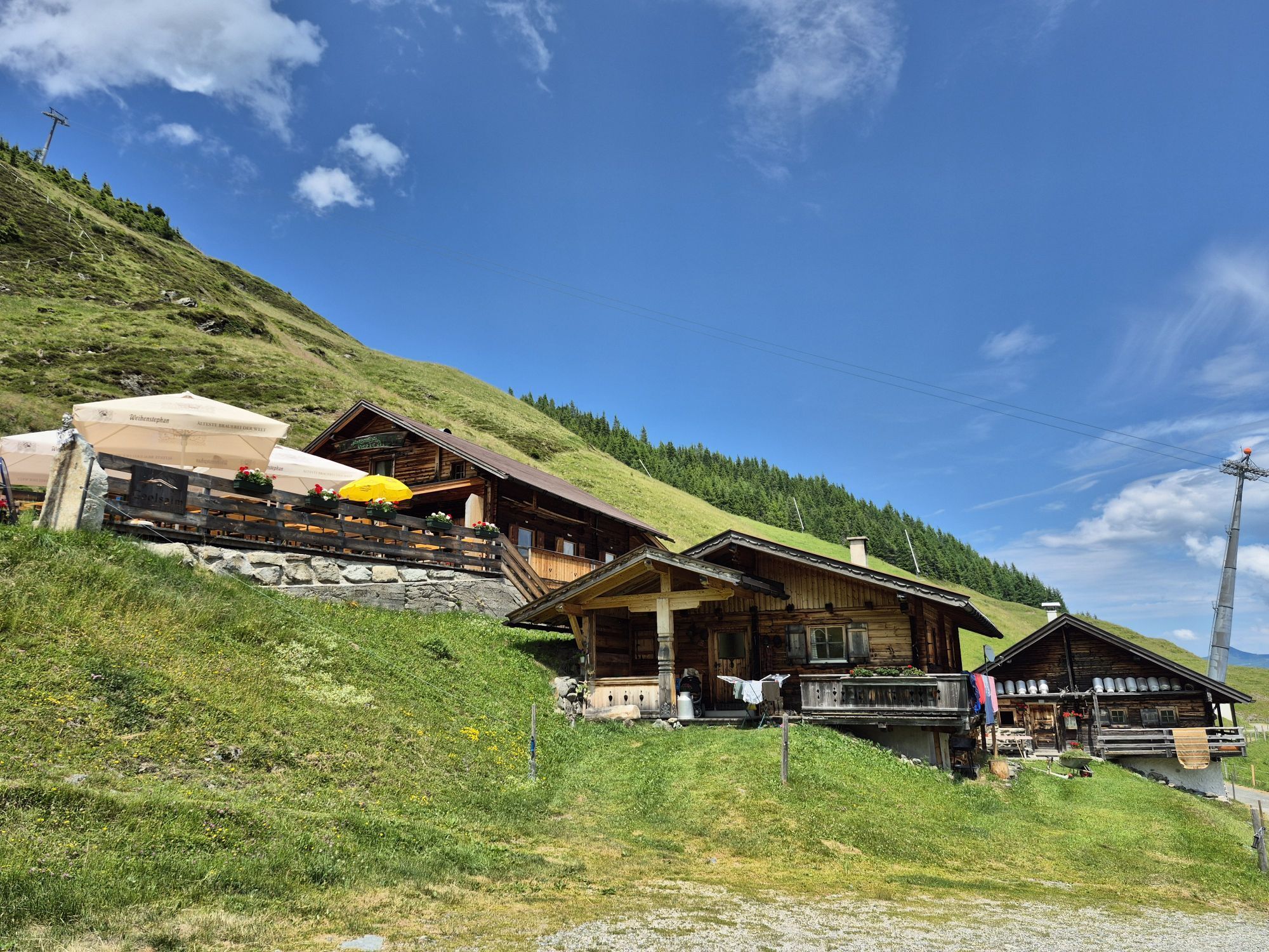
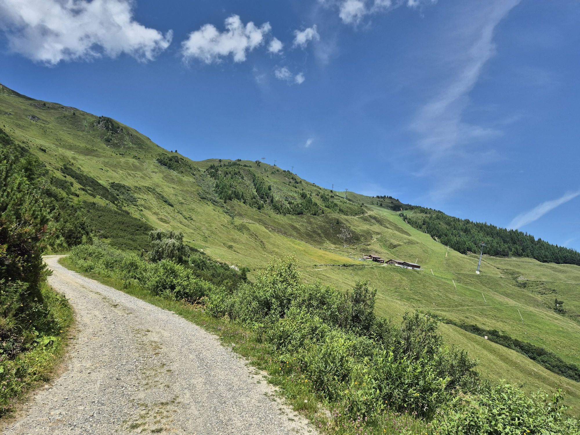
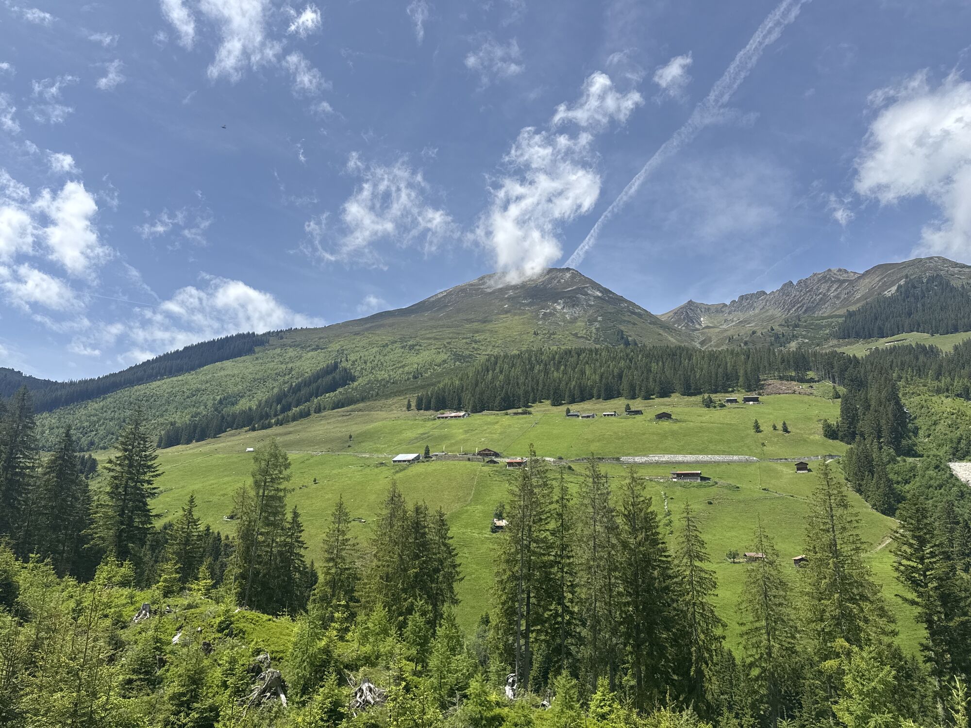
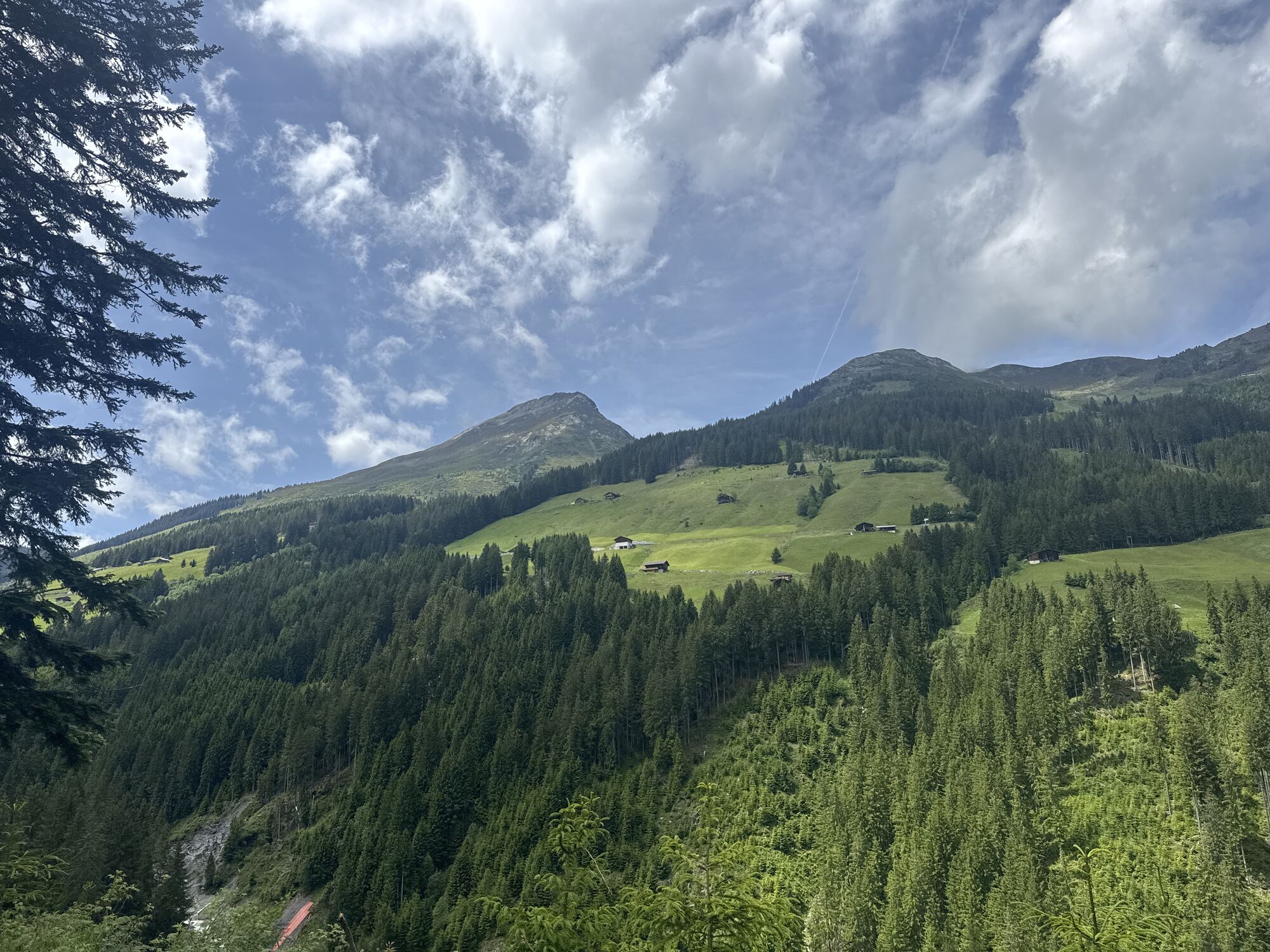
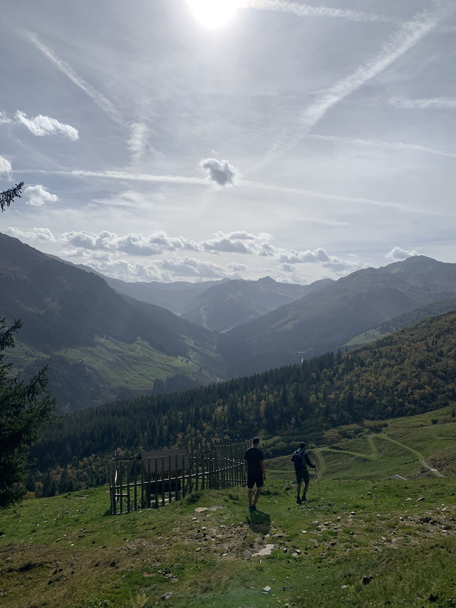
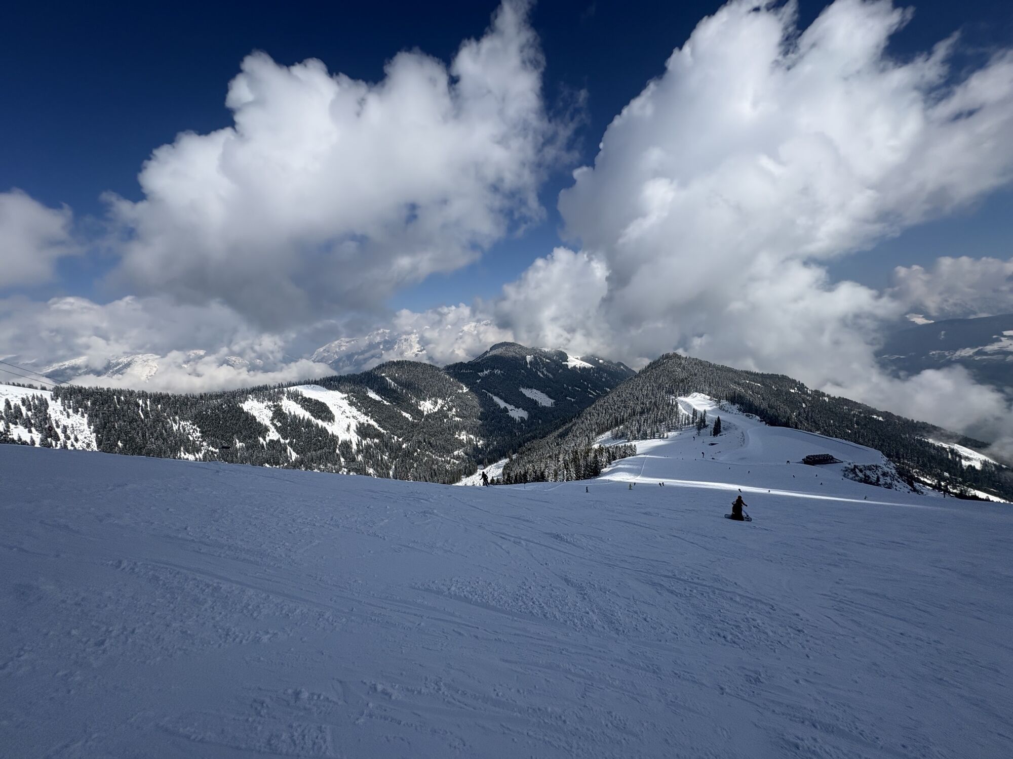
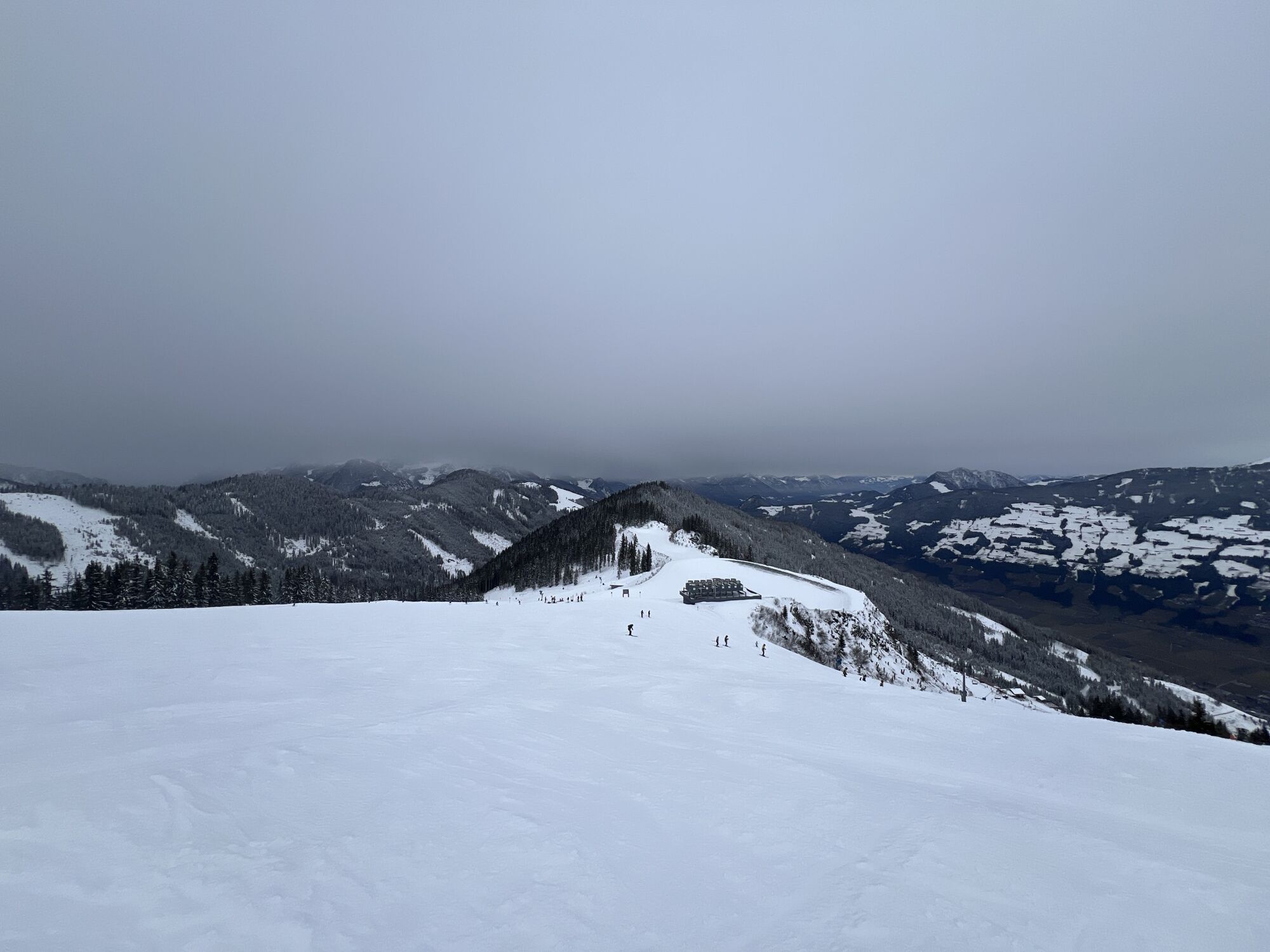
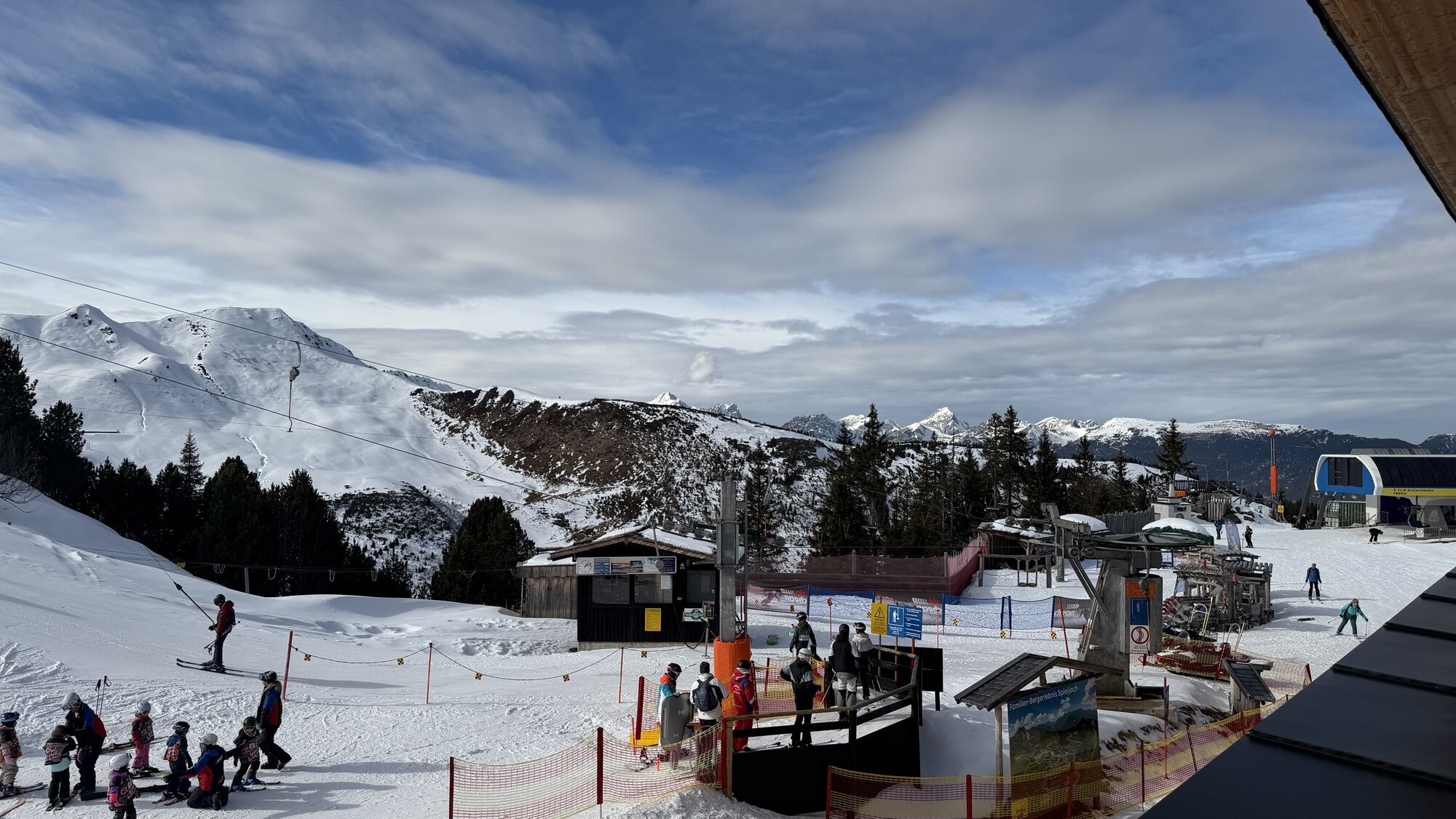
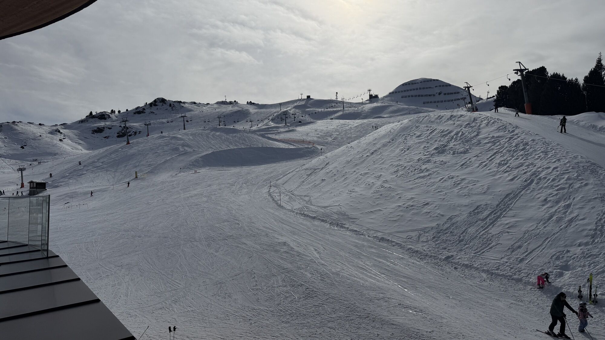
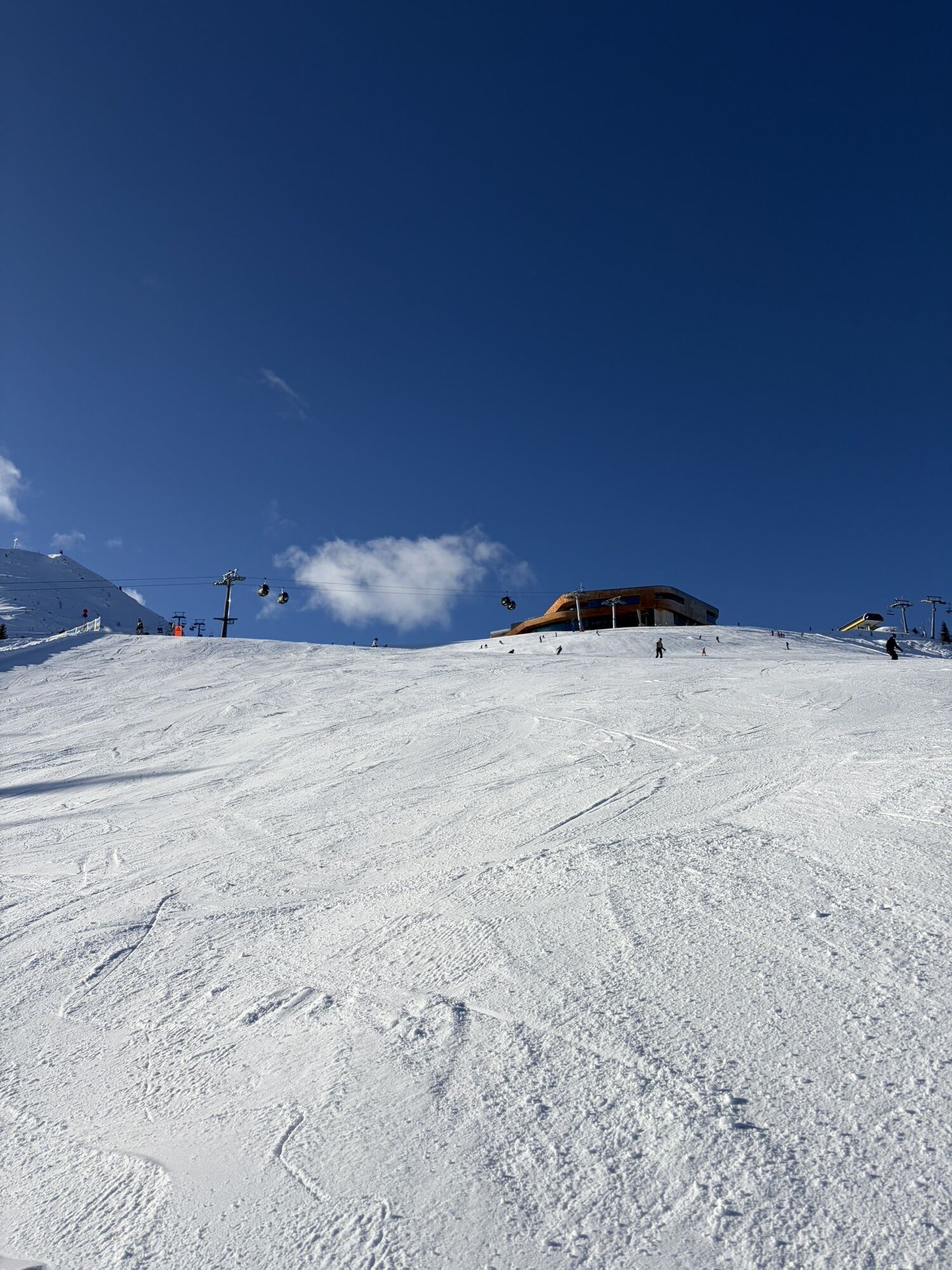
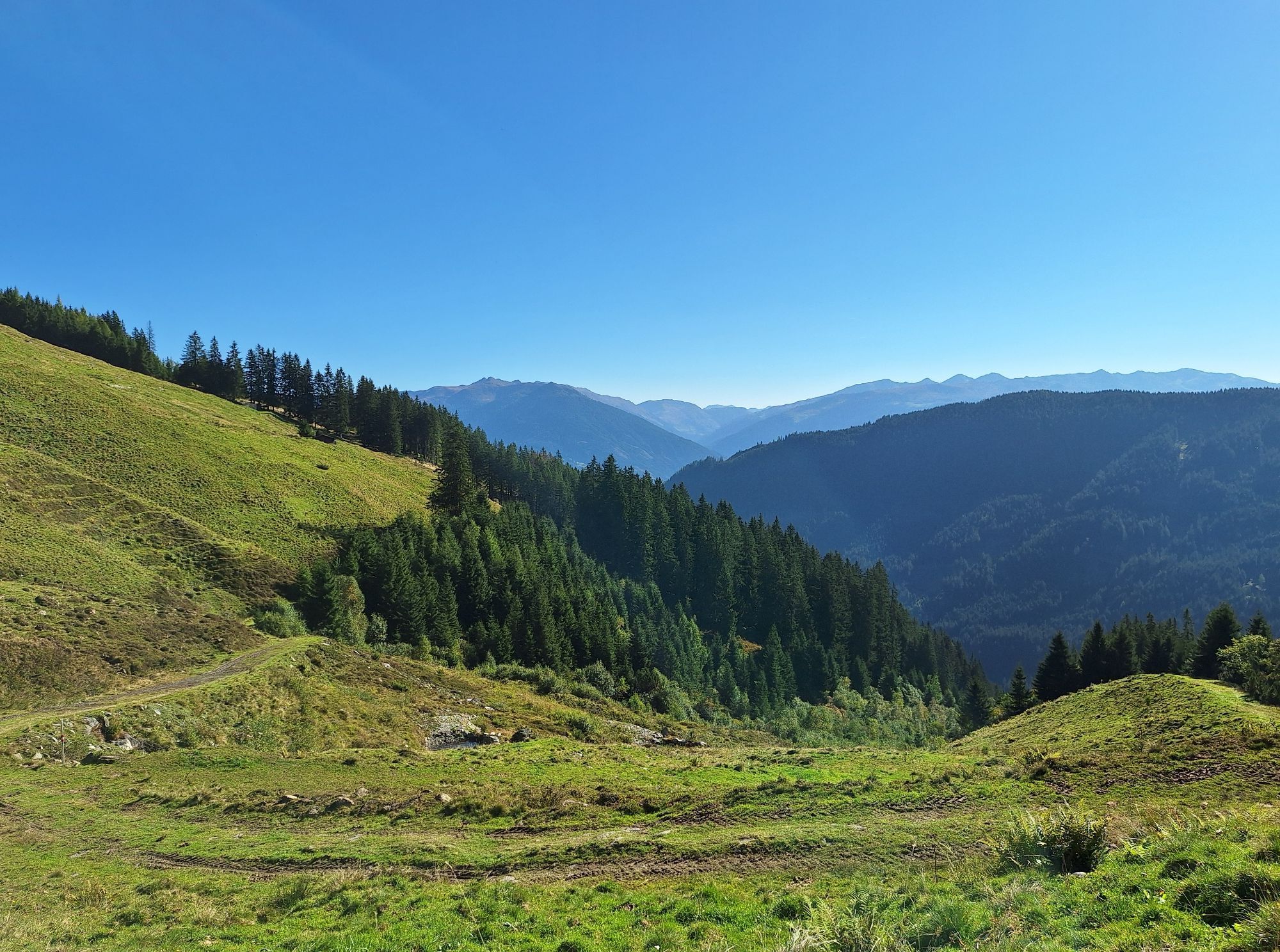
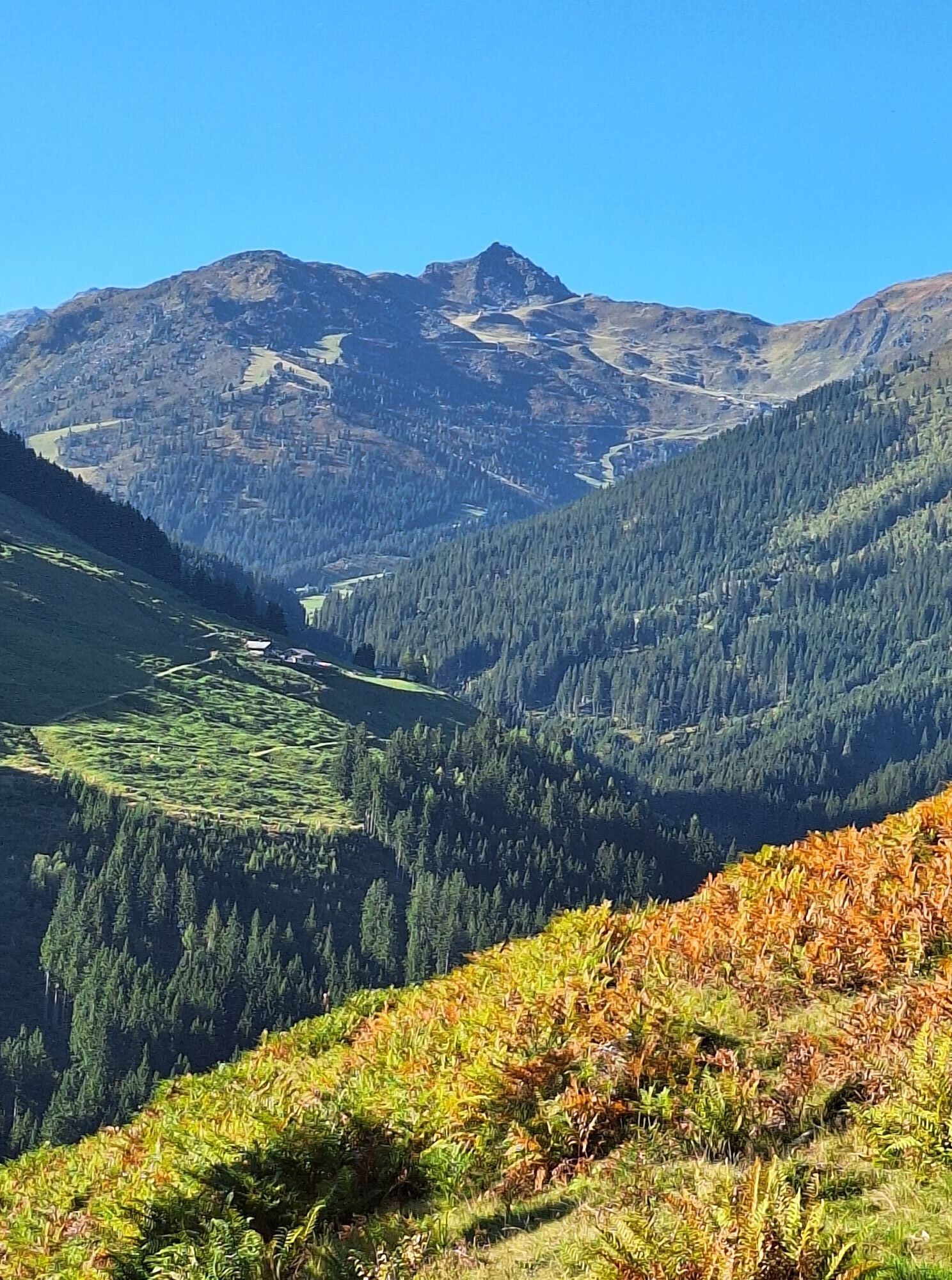
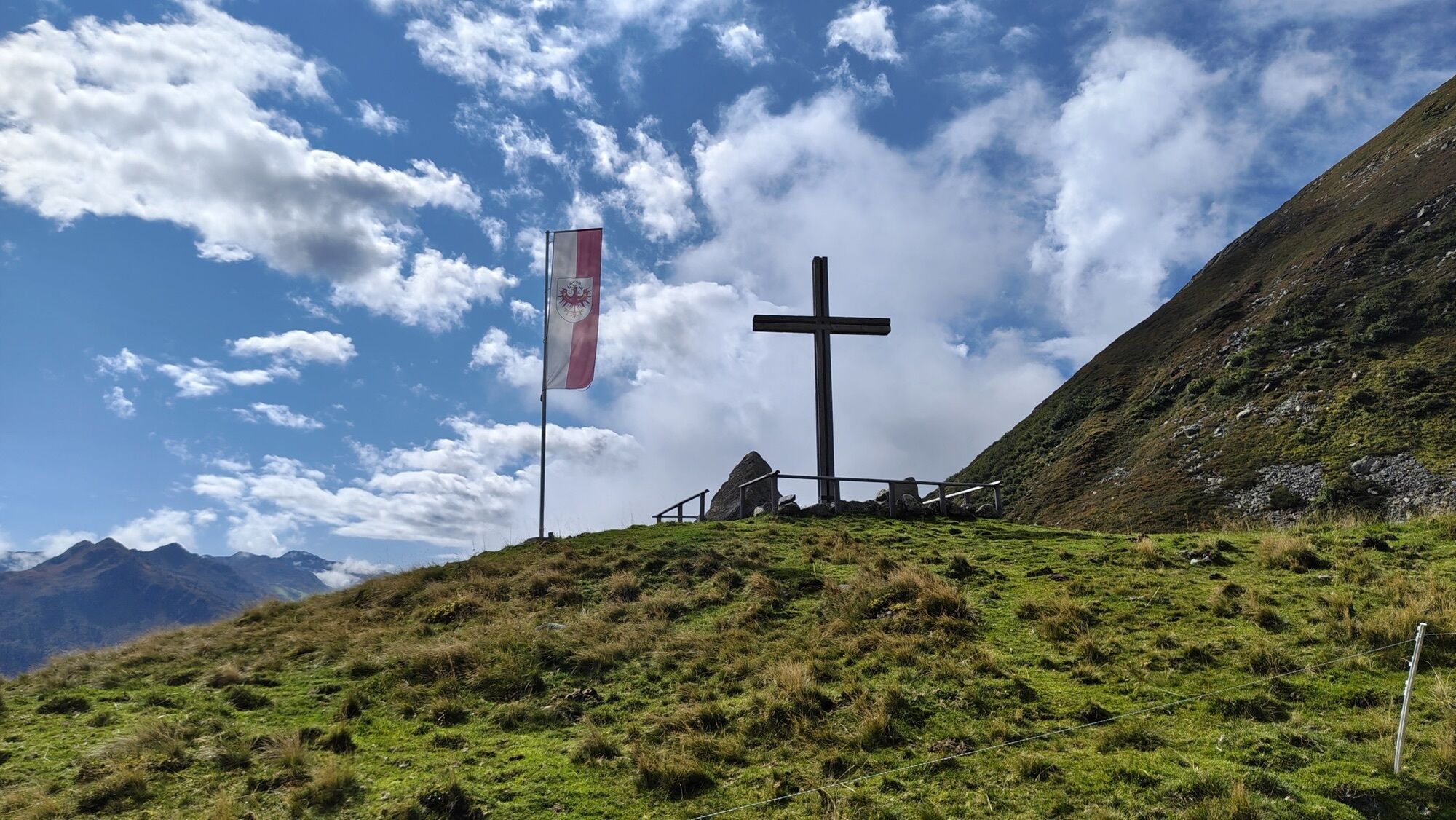
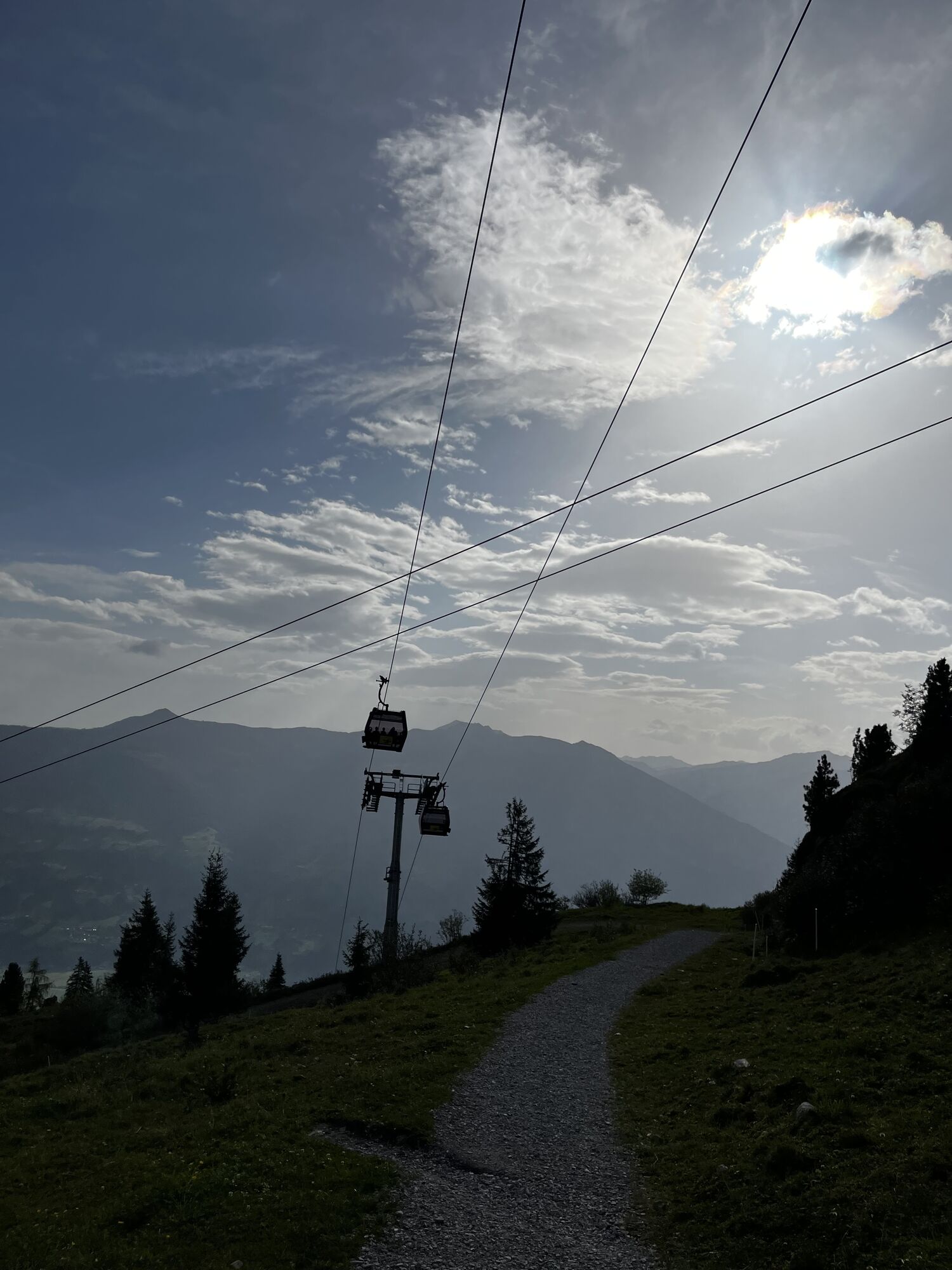
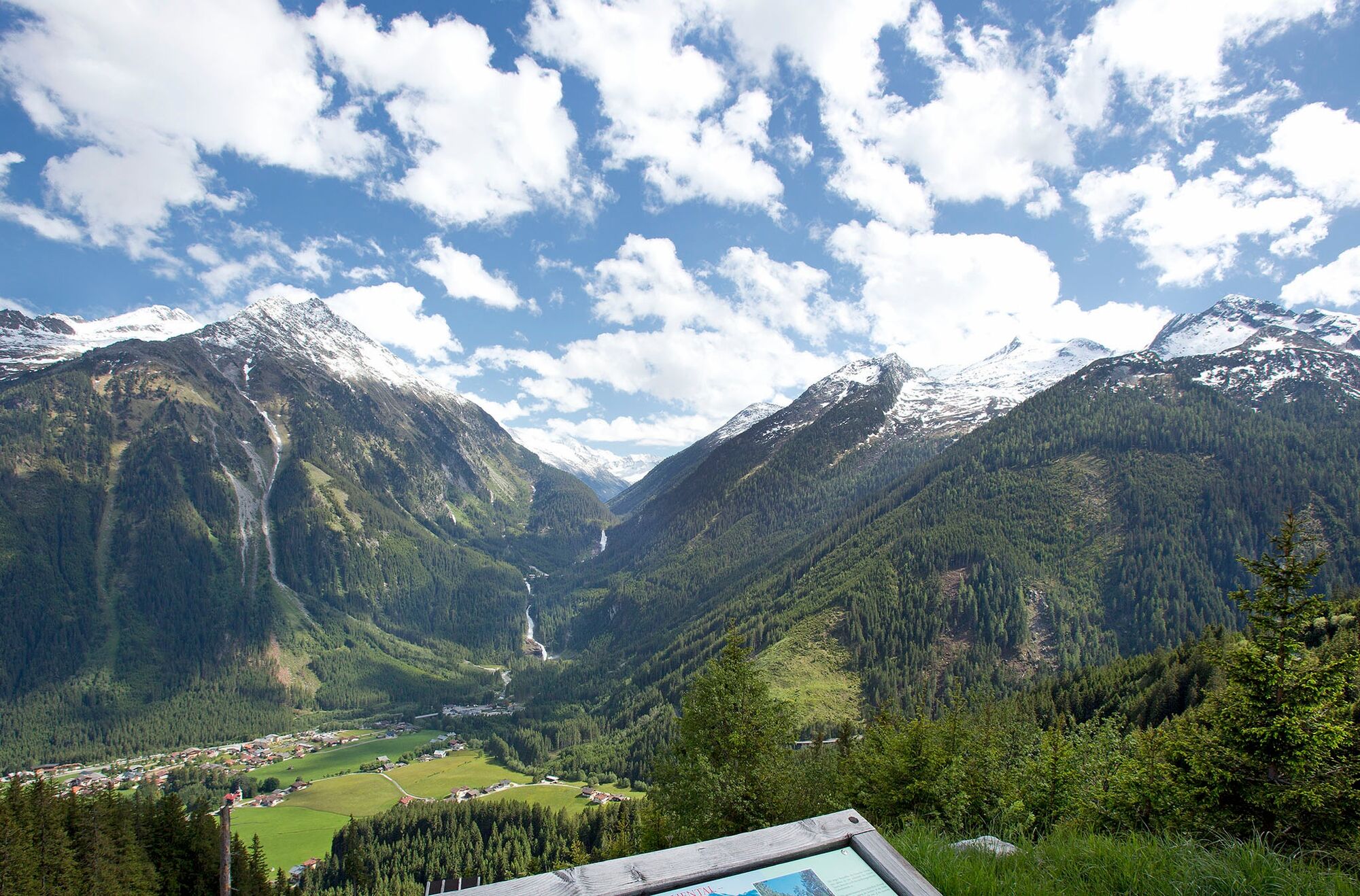
Otherwise, cross the Hochfügener Straße and continue on the forest road. Past the Niederleger of Gartalm to the Gartalm/Geolsalm junction. There, turn left uphill to Gartalm. After visiting Gartalm, the return route to Fügen goes via Geolsalm and Outer Fügenberg. Sporty ambitious bikers can make a detour from the Geolsalm snack station to the mountain station/restaurant of the Spieljoch cable car (magnificent panorama).

Gartalm 1,860m - Spieljoch
Geolsalm 1,774m - Spieljoch
Schihütte Spieljoch 1,600m - Spieljoch
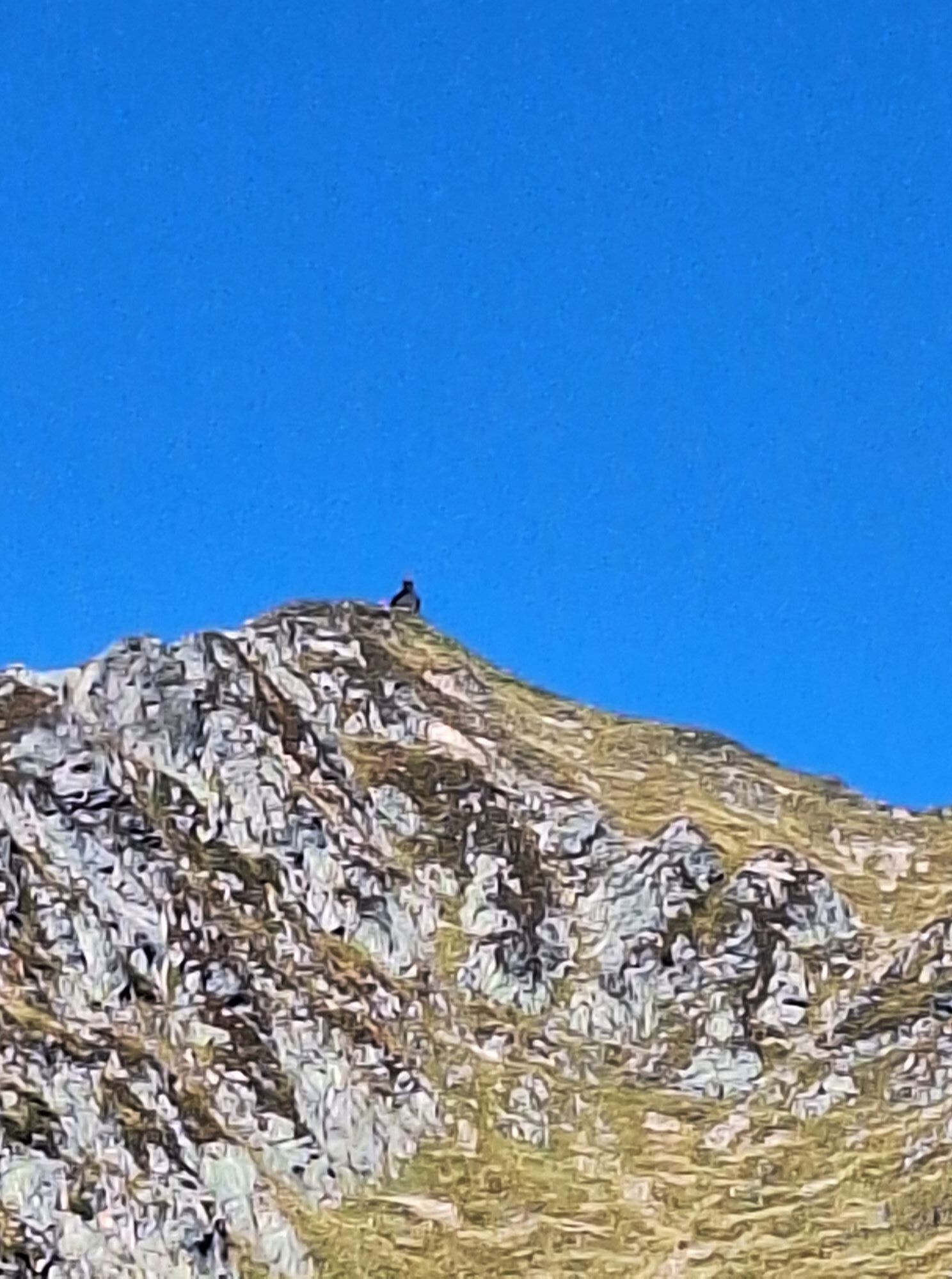
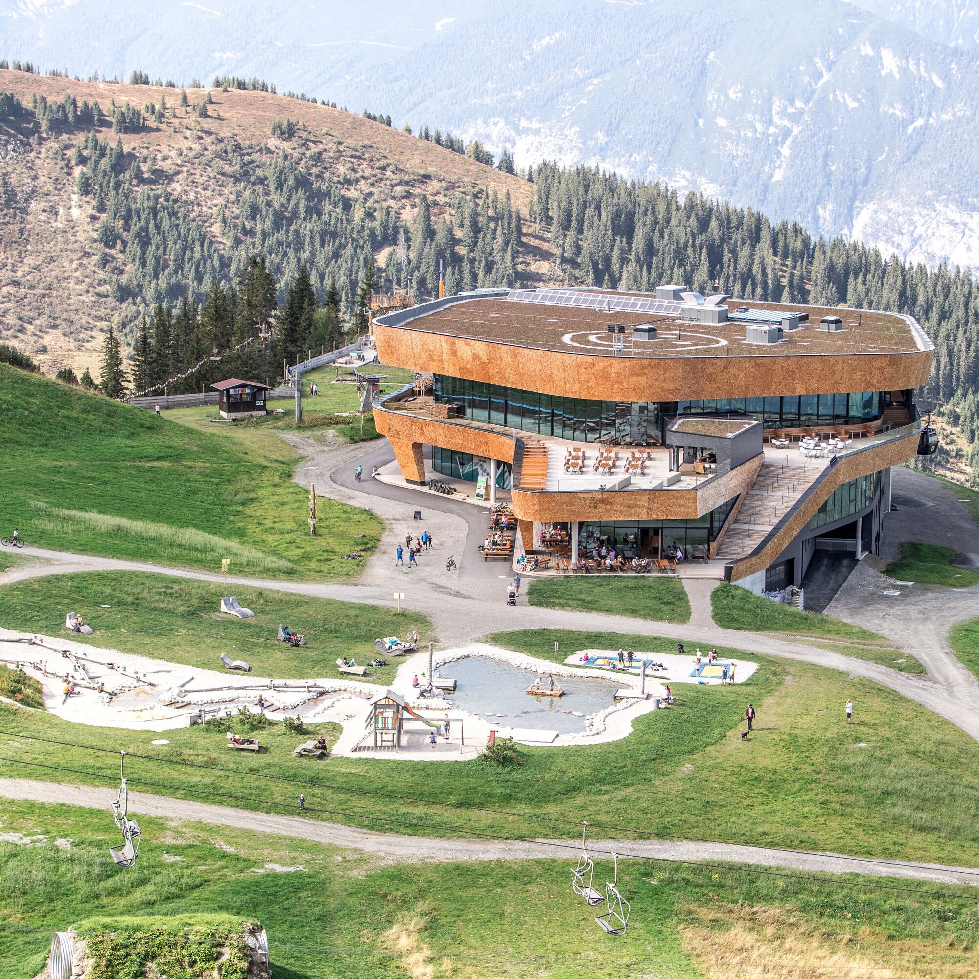
Mountain restaurant Mountain Loft 1,865m - Spieljoch
Ano
Freeride backpack with built-in back protection,
Flashlight: for tricky repairs and all cases.
Mini-tool: be sure to match with the screws on the bike!
Shock pump: of course only for those who need it.
Puncture repair kit: stolen from grandpa’s travel bike.
Tire levers: for delicate hands or bulky tires.
Whistle: for fun, emergencies, against bears.
Mobile phone: for precise emergency calls or sudden desires.
Leatherman multitool: for complicated operations
Spoke wrench: straightens the wheel again.
Cable ties: for spontaneous connections.
Energy bars: for unexpected hunger.
Camera: for spontaneous heroic deeds.
Tubes: if missing, flat tires are guaranteed.
Pump: the cyclist’s favorite tool.
Rain jacket: survival essential in high mountains.
First aid kit: best to practice a bit beforehand.
The information serves as guidelines and can vary greatly depending on fitness, bike type, road conditions, weather, and other environmental influences, and is therefore only an orientation aid. The information and content about route course, duration, and difficulty on this interactive map are solely the subjective assessments of the authors. The map owners do not assume liability for the accuracy and completeness of the contents. The opening status of the routes is maintained conscientiously and with great care, but due to environmental influences (weather, mudslides) and the large number of contributors, no guarantee is given for this information. For information about the current opening status of the route, contact the hut keeper or the responsible tourist information. Traffic signs and warning boards on the route must be observed and complied with.
ARRIVAL FROM EAST, NORTH
From Munich/Salzburg/Vienna on the A 1, A 8, and A 93 to Kiefersfelden. Continue on the A 12 (ATTENTION: vignette required) to the Zillertal exit. Then on the B 169 into the Zillertal.
ARRIVAL FROM WEST
From Vorarlberg/Innsbruck on the A 12 to the Zillertal exit. Continue on the B 169 into the Zillertal.
ARRIVAL FROM SOUTH
From Klagenfurt on the A 10 to Salzburg. From Graz on the A 9 to Liezen. Then on the A 10 to Salzburg or to the Bischofshofen exit (see above). Most of our accommodations offer sufficient parking for guests.
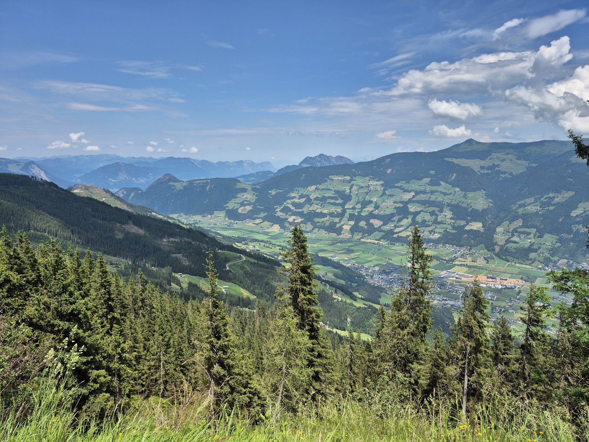
For all those who start their route outside the place of stay or want to return from the bike tour without effort, the Zillertalbahn is available for bike transport. The Zillertalbahn runs from Jenbach to Mayrhofen. There are stops throughout the Zillertal. In addition to the bike transport service, a ride with the nostalgic steam train Zillertalbahn is also a highlight.
sufficient parking spaces available
Do the mountain station/restaurant of the Spieljoch cable car (magnificent panorama).
Webové kamery z prohlídky
Onkeljoch
Schwaz/Kogelmoos
Therme Fügen
Therme Fügen
Therme Fügen
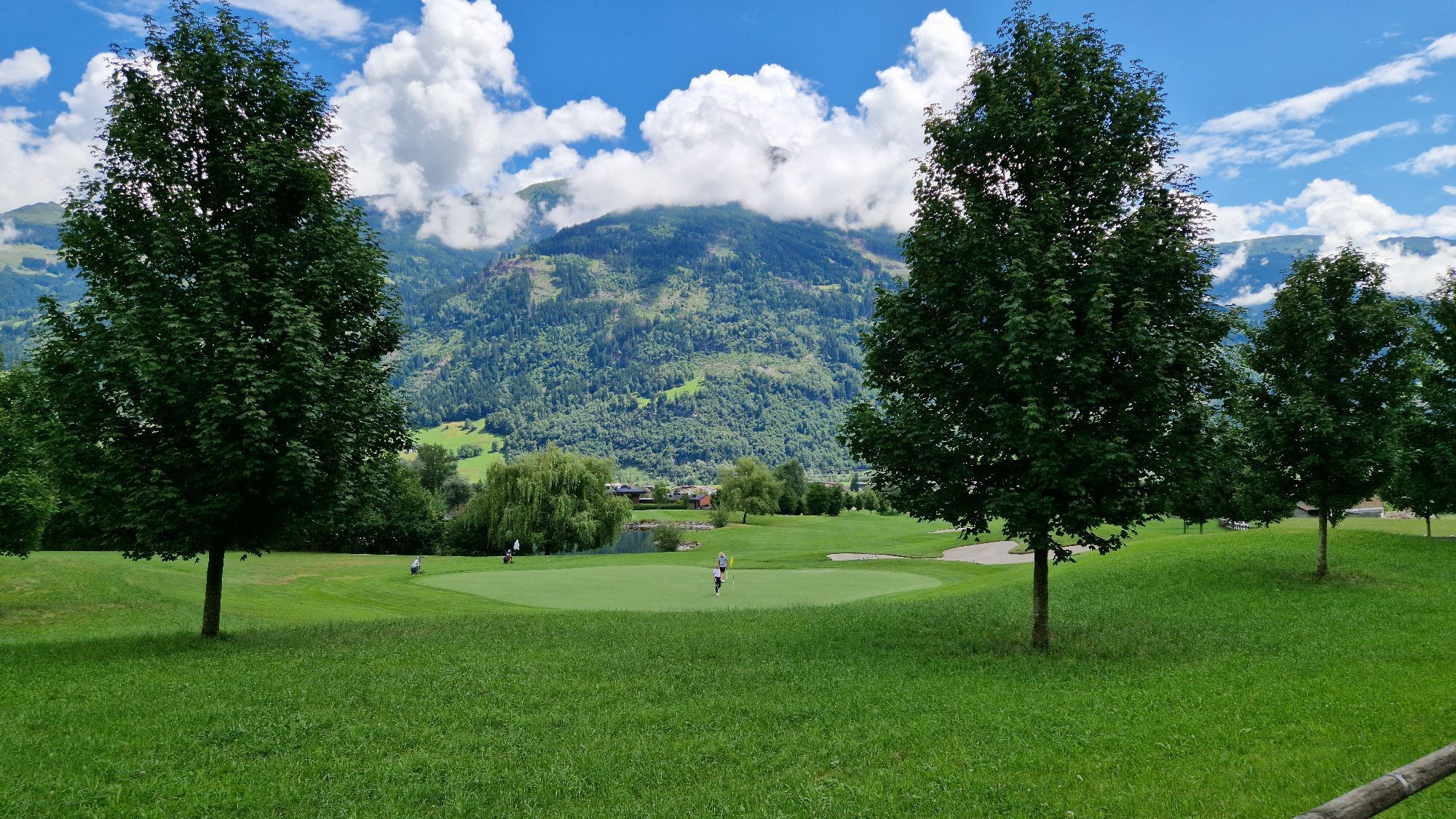
Golfclub Zillertal - Uderns
Badesee Schlitters
Pillberg - Silberregion Karwendel
Pillberg - Silberregion Karwendel
Pillberg - Silberregion Karwendel
Pillberg - Silberregion Karwendel
Uderns Golfplatz
Spieljochbahn
Uderns Golfplatz
Uderns Golfplatz
Uderns Golfplatz
Uderns Golfplatz
Uderns Golfplatz
Klausboden Tal
Onkeljoch
Onkeljoch
Onkeljoch
Onkeljoch
Onkeljoch
Onkeljoch
Onkeljoch
Das Kaltenbach
Kellerjoch Speichersee
Kellerjoch Speichersee
Kellerjoch Speichersee
Kellerjoch Speichersee
Kellerjoch Speichersee
Kohlerhof - Fügen
Oblíbené prohlídky v okolí
- 4,5
Den Panoramaweg um das Wiedersbergerhorn
Turistika 3,40 km - 4,8
Bergstation Rofan Seilbahn - Dalfaz Alm - Bergstation Rofan Seilbahn
světloTuristika 4,94 km - 4,8
Eben - Astenau Alpe - Ebner Joch - Eben
středníTuristika 7,82 km - 4,5
Maurach - Dalfaz Alm - Dalfazer Wasserfall - Maurach
středníTuristika 10,4 km - 4,8
Hochiss und Gschöllkopf mit Rofanbahn
středníTuristika 6,40 km - 4,6
Wolfsklamm über Maria Tax
středníTuristika 5,50 km - 3,4
Wolfsklamm-Stans
středníTuristika 2,66 km - 4,7
Gratwanderung zum Standkopf 2.241 m
středníVysokohorská turistika 9,28 km - 4,5
Wandern zum Bärenkopf
středníTuristika 10,9 km - 4,9
4-Gipfel-Tour zum Gilfert
středníTuristika 11,2 km
Pěší turistika a stopování


Nenechte si ujít nabídky a inspiraci pro vaši příští dovolenou
Vaše e-mailová adresa byl přidán do poštovního seznamu.