







6047 Vorderer Tumpenalm - Armelenhütte
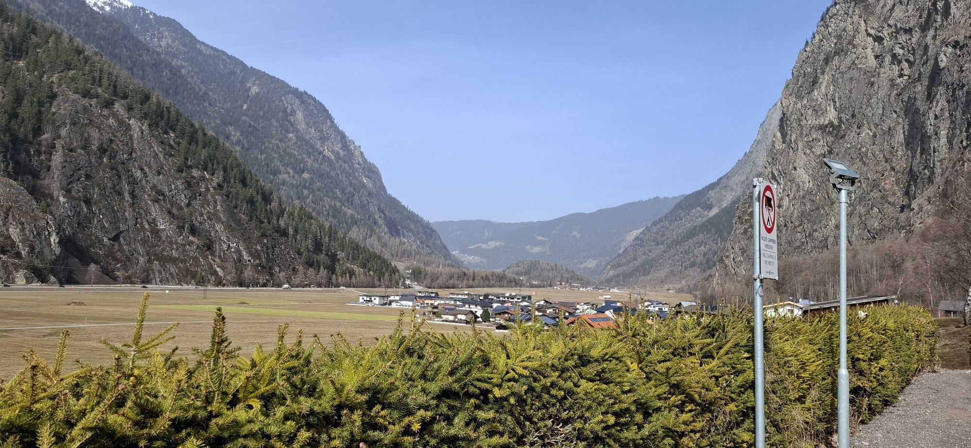
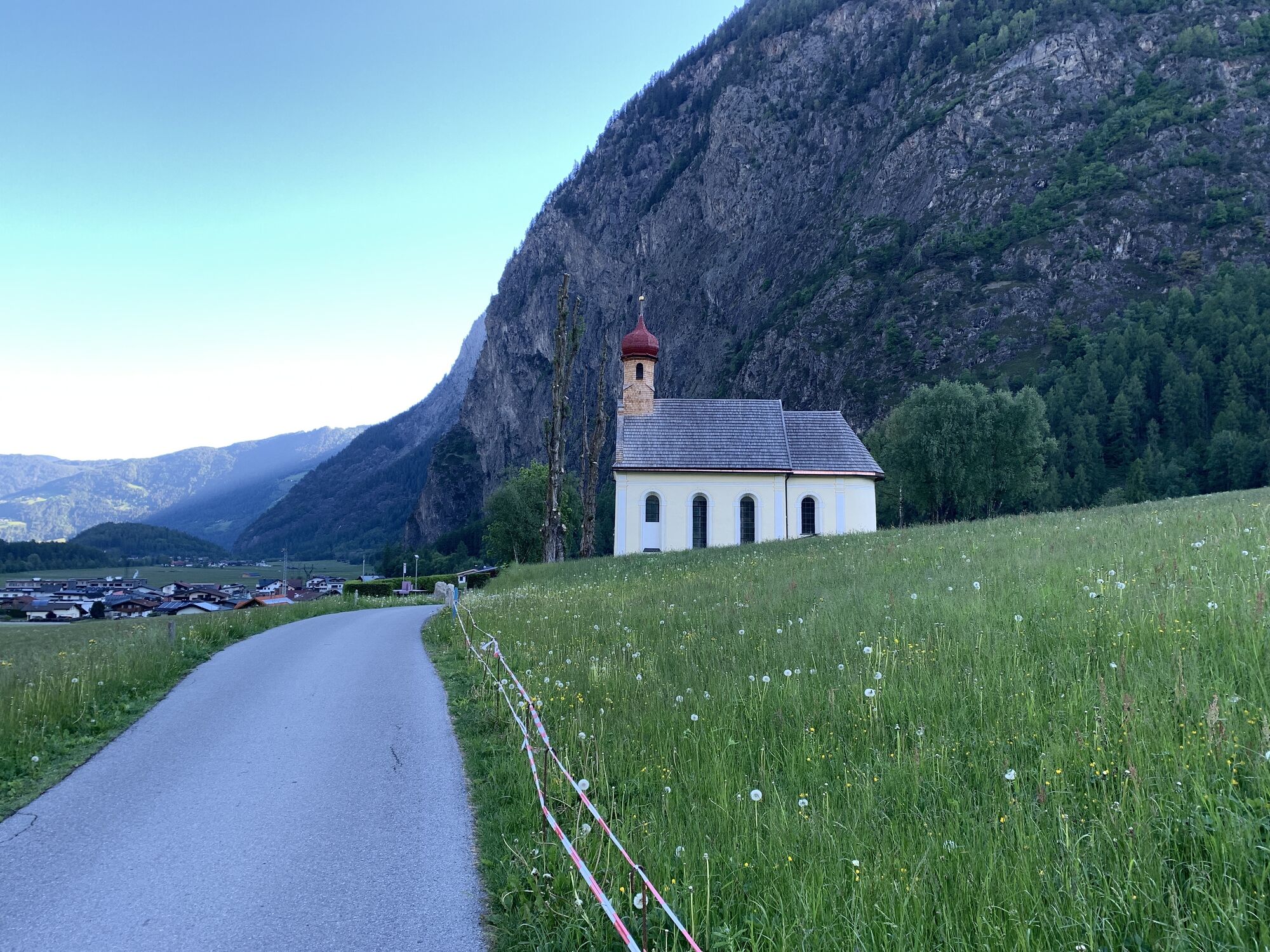
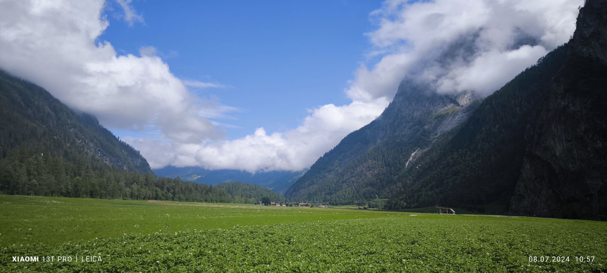
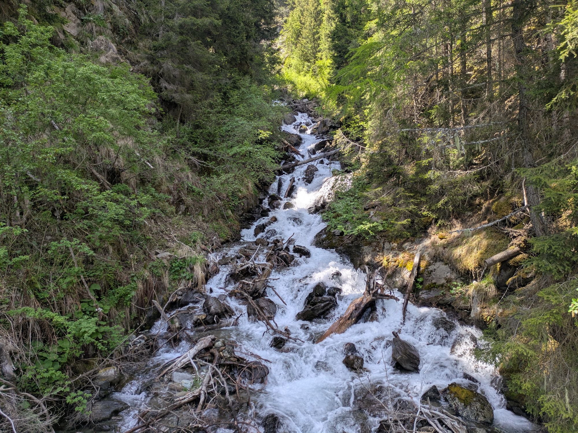
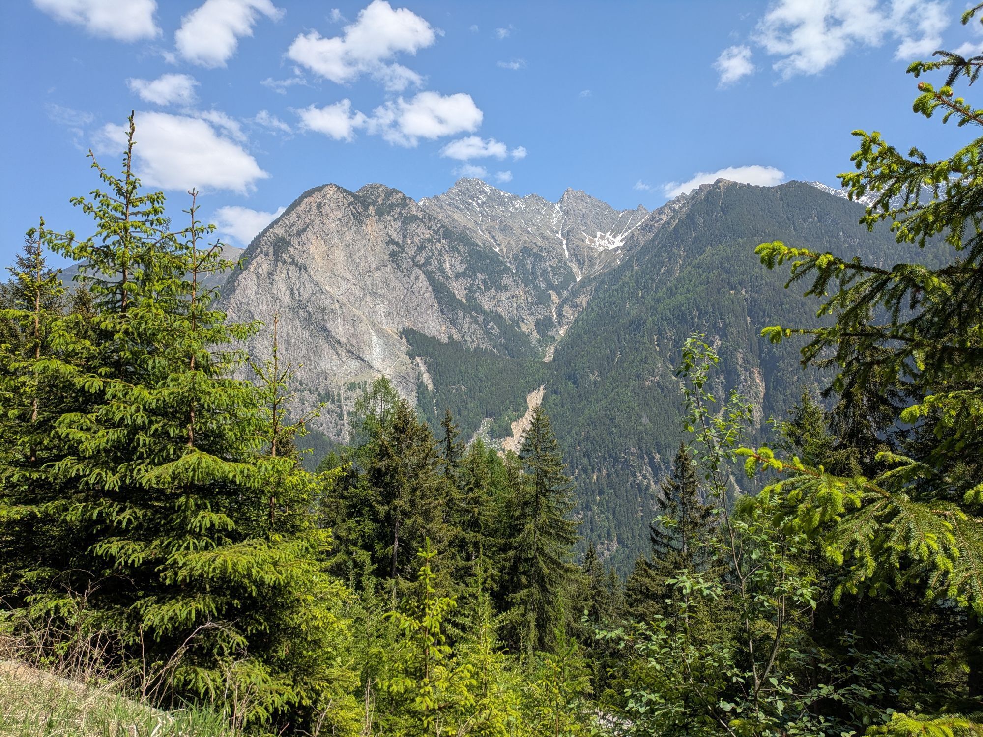
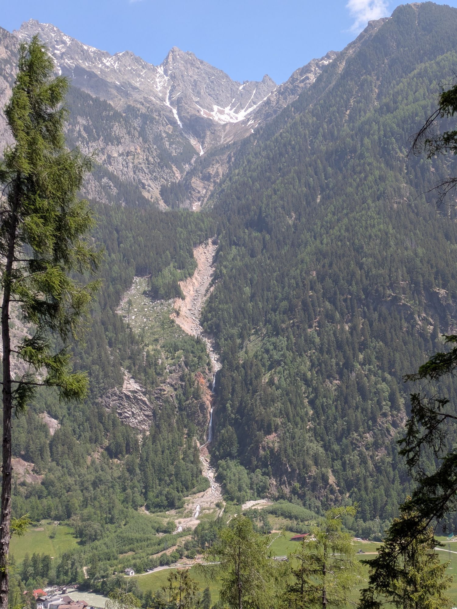
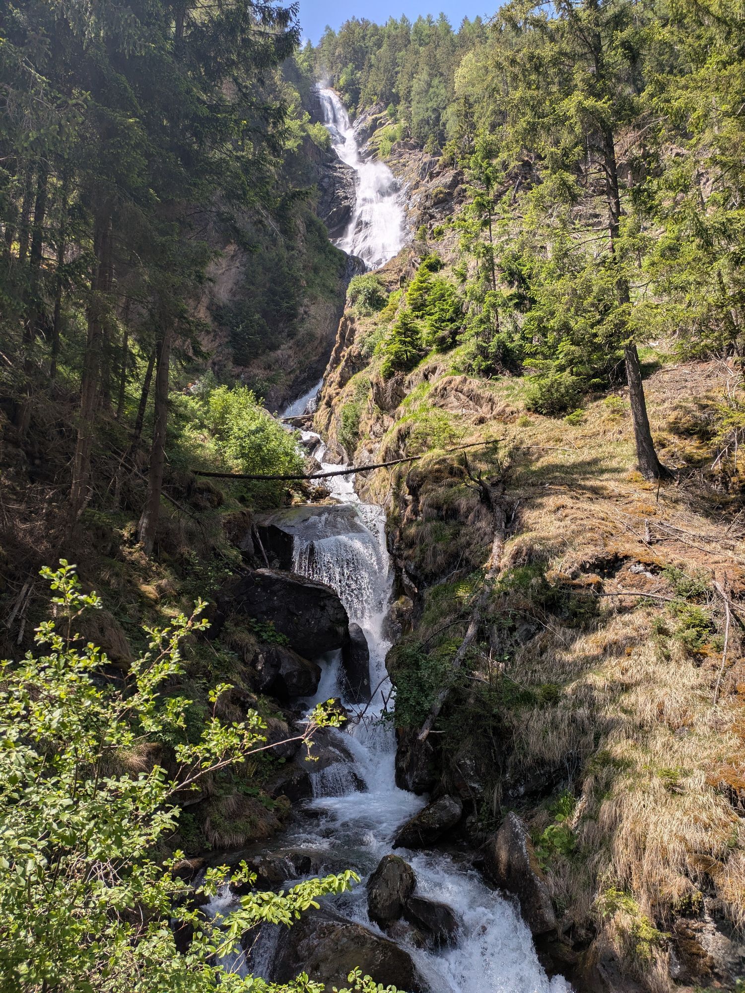
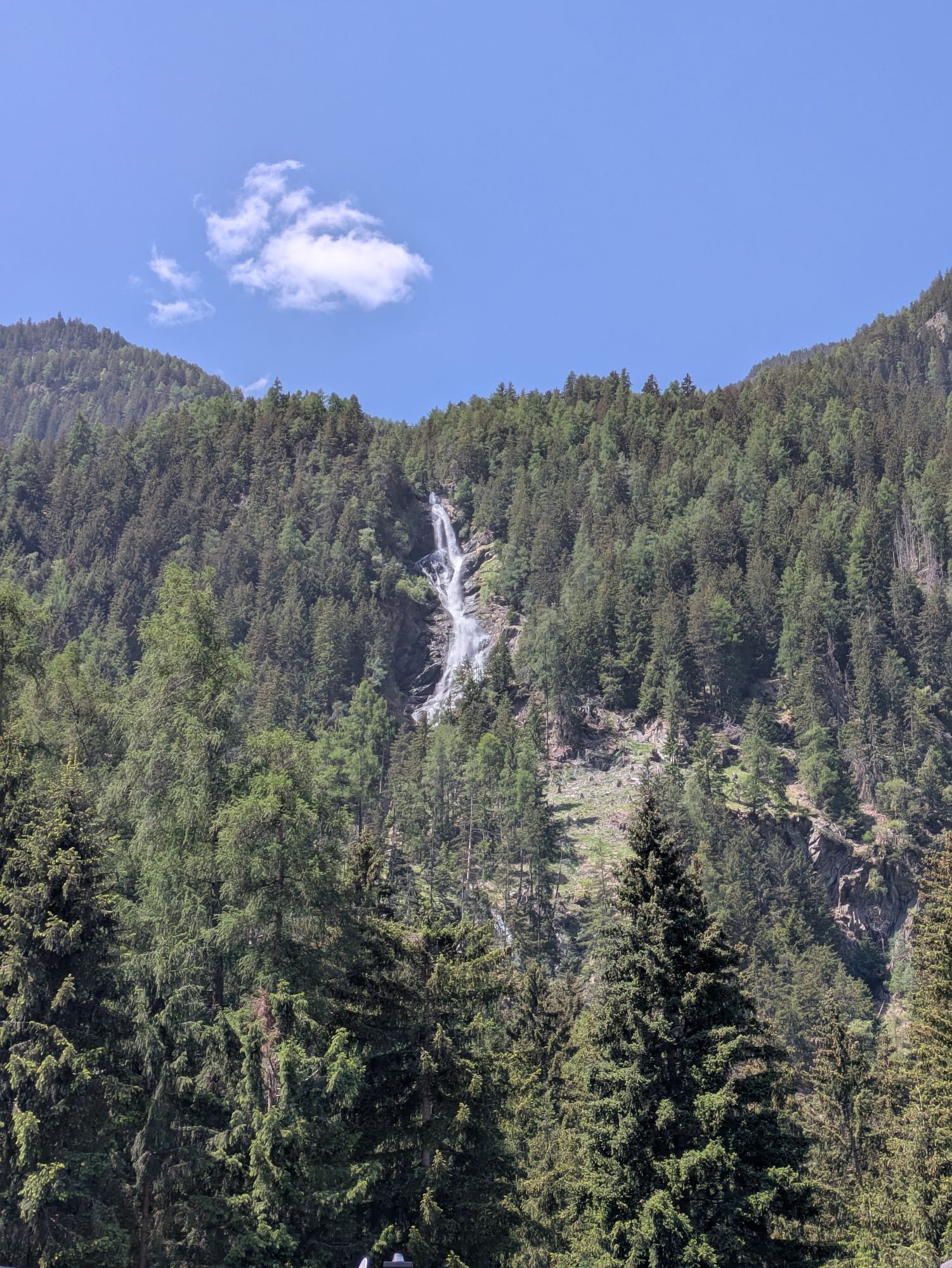
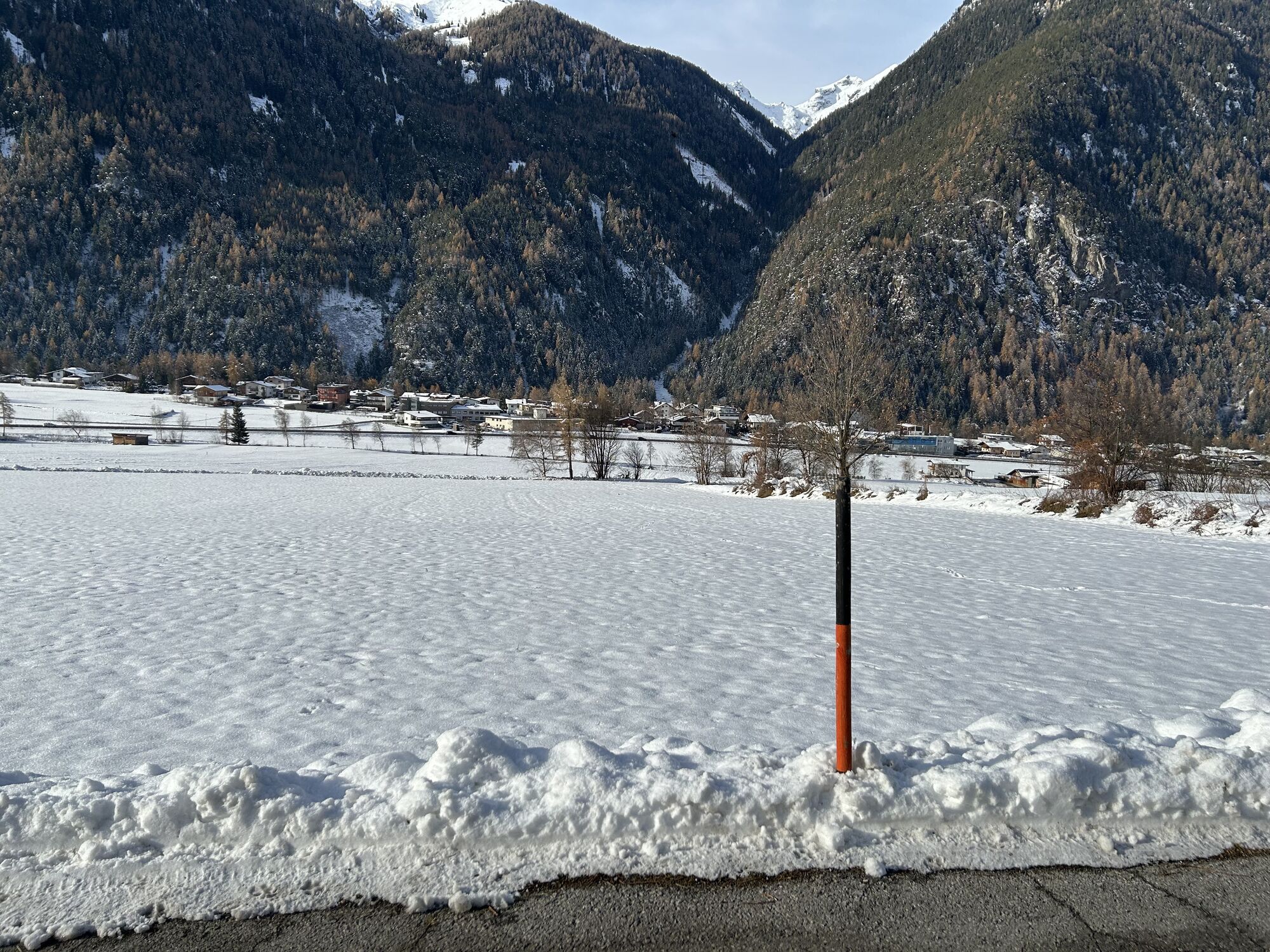
The starting point is in Umhausen at the Mure parking lot. From there, follow the Ötztal bike path (No. 11) downstream. You cycle comfortably through the broad meadows along the paved path to the Maria...
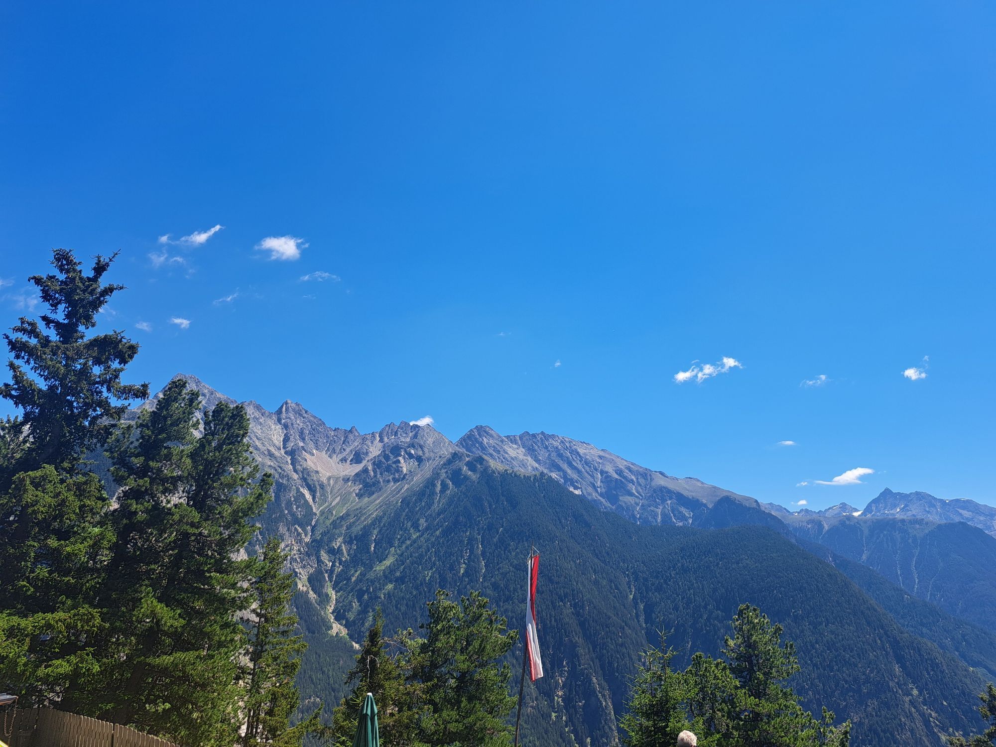
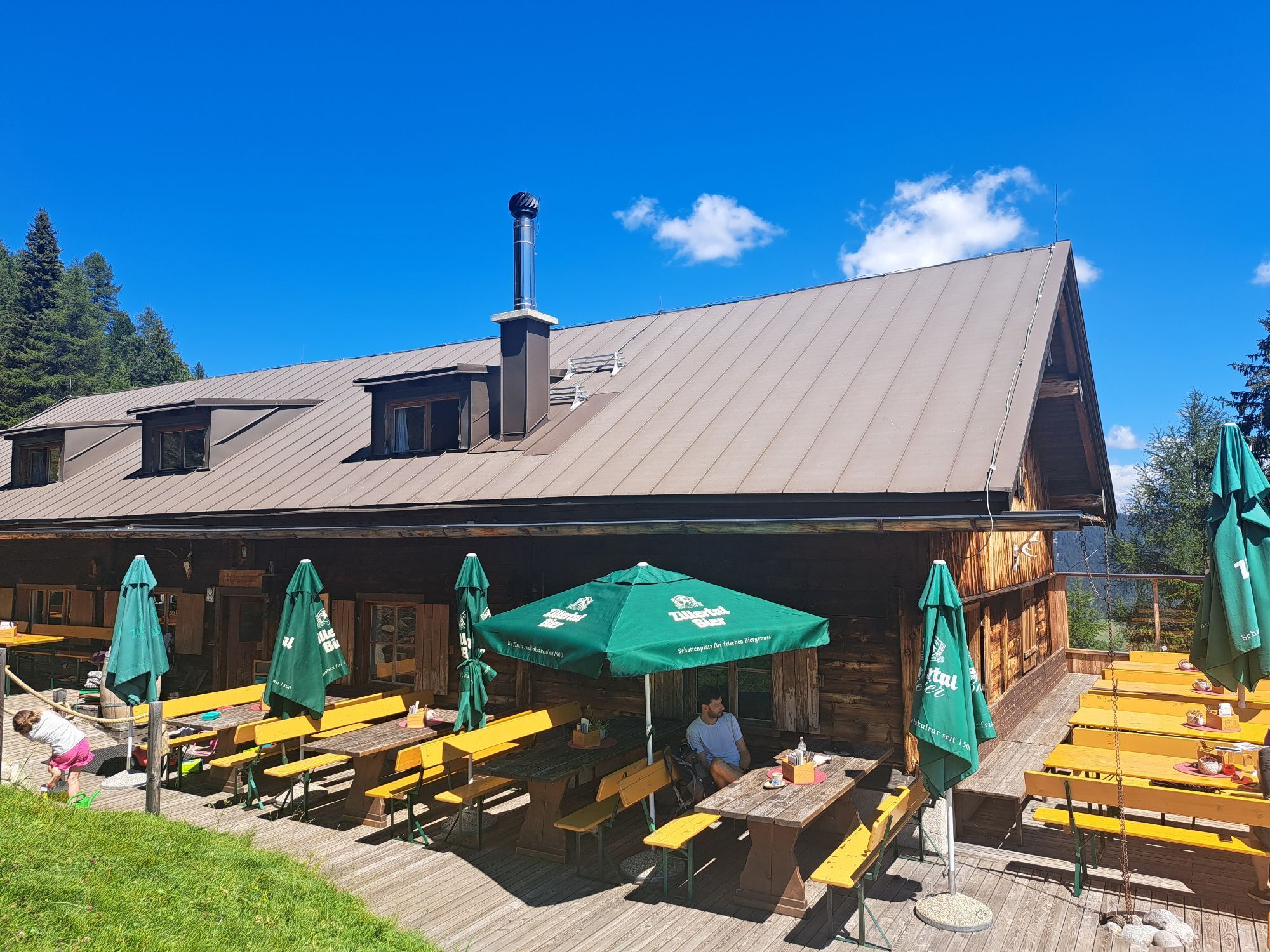
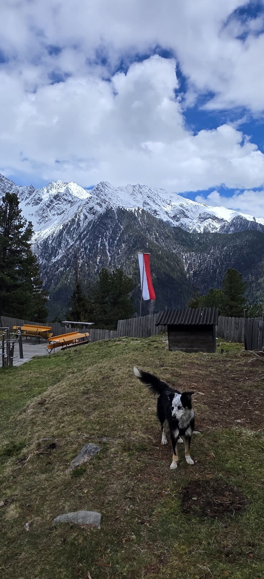
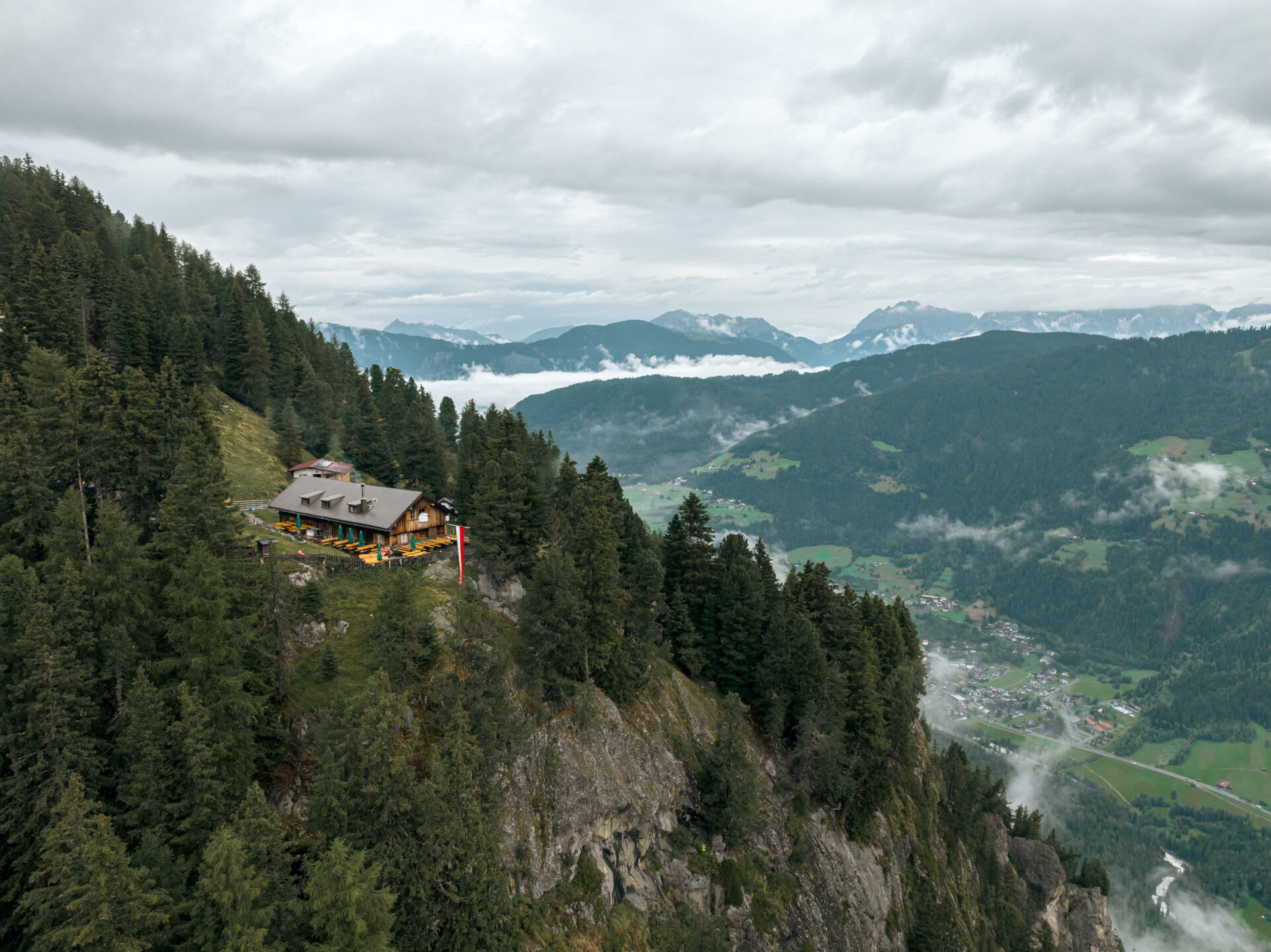
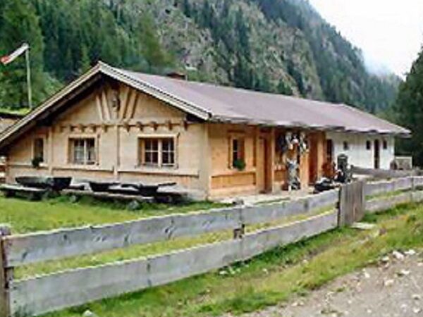
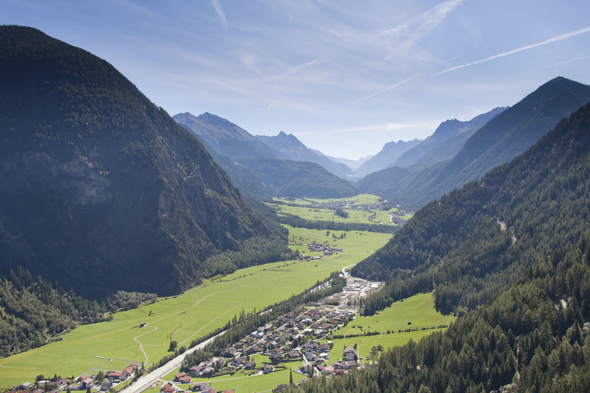
The starting point is in Umhausen at the Mure parking lot. From there, follow the Ötztal bike path (No. 11) downstream. You cycle comfortably through the broad meadows along the paved path to the Maria Schnee chapel, through the hamlet Lehn-Platzl, to Tumpen. In Tumpen, cross the street, pass the elementary school and reach the end of the village. There you leave the Ötztal bike path (No. 11) and turn left towards the Vorderer Tumpenalm and Armelenhütte. A wide gravel road winds up in numerous switchbacks. After some time, you reach a junction. There you can either go to the Vorderer Tumpenalm or turn right to the Armelenhütte. Both huts are staffed. At the top, enjoy the mountain panorama and an original Tyrolean mountain snack.


Appropriate equipment such as breathable clothing and weather-appropriate outdoor wear, bike helmet, gloves, sunglasses, and a GPS device or maps. On bike routes without places to stop for food, sufficient provisions are necessary.
Demanding MTB routes with difficult sections requiring both good fitness and riding skills. Steep uphill and downhill sections are expected. The focus is on the fitness and technical biking on scenic alpine routes.
The car drive into the ÖTZTAL. Located in Tyrol, the ÖTZTAL branches southwards as the longest side valley of the Eastern Alps. Traveling by car leads holidaymakers via the Inn valley to the entrance of the valley and further along the Ötztal. In addition to the toll highway, country roads can also be used. With the route planner, your drive can be quickly and easily determined.
To the route planner: https://www.google.at/maps.
Travel comfortably and safely by train to the Ötztal station. The final station or exit point is the ÖTZTAL station. Afterwards, you can travel conveniently and quickly by public transport or local taxi services through the entire valley to your desired destination! The current bus schedule is available at: fahrplan.vvt.at
The following parking options are available in Umhausen:
Parking lot Mure, free of chargeThis route follows developed paths and can be easily ridden with a motorized e-mountain bike or a classic mountain bike without motor assistance.

Webové kamery z prohlídky
-
Hochoetz
-
Niederthai im Ötztal
-
Niederthai - Alpin Appart
-
Wetterkreuzbahn Talstation
-
Sautens - Aktiv Panoramahotel Daniel
-
Widiversum Hochoetz
-
Umhausen - Vivea Gesundheitshotel
-
Piburger See
-
Mountain Moments Ötztal
-
Kids Park/Schwimmbad
-
Kids Park/Schwimmbad
-
Kids Park/Schwimmbad
-
Kids Park/Schwimmbad
-
Kids Park/Schwimmbad
-
Stuibenfall
-
Umhausen / Hotel Tauferberg
-
Niederthai - Delano
-
Niederthai - Delano
Získejte přehled
Vždy živě na místě s více než 9 500 webkamerami. bergfex Jako uživatel Pro si nyní můžete zobrazit odpovídající webové kamery pro mnoho prohlídek v aplikaci prohlídky z. Můžete si tak přímo prohlédnout aktuální podmínky.
Aktivity na trase
-

Umhausen, Tirol/Österreich
04.08.2026 – Turistika -
Tumpen, Tirol/Österreich
04.08.2026 – Turistika -
Tumpen, Tirol/Österreich
03.08.2026 – Horská turistika -
Umhausen, Tirol/Österreich
23.07.2026 – Mountainbike -

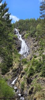
Tumpen, Tirol/Österreich Armelenhütte
17.05.2026 – Turistika -
Tumpen, Tirol/Österreich
22.08.2024 – Horská turistika
Oblíbené prohlídky v okolí
-
4.7
Winnebachsee Hut – Längenfeld/Gries
středníTuristika 4.74 km -
4.7
Winter circular route Brandalm/Burgstein - Längenfeld 204
středníZimní turistika 5.44 km -
4.4
Hike Stuibenfall - Umhausen
světloTuristika 2.95 km -
4.3
Stuibenfall Umhausen circular hike
světloTuristika 9.32 km -
4.5
Oetz - Piburger See - Oetz
středníTuristika 7.16 km -
4.4
Rundwanderung Hängebrück3
světloTuristika 6.32 km -
4.7
Summit route Faltegartenköpfl
středníTuristika 4.04 km -
4.2
Umhausen - Stuibenfall - Umhausen
středníTuristika 7.94 km -
4.8
lake Piburger See
světloTuristika 2.75 km -
4.6
Circular hike Bergmahderweg - Niederthai
světloTuristika 7.60 km
Pěší turistika a stopování


Nenechte si ujít nabídky a inspiraci pro vaši příští dovolenou
Vaše e-mailová adresa byl přidán do poštovního seznamu.





