


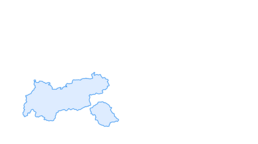

Kurzentrum Lap Bad Häring



You start in the village centre of Bad Häring and walk along the main road in the direction of Schwoich. In the 3-Grafen Str. you leave the main road and follow the signs past a nice little chapel in the...
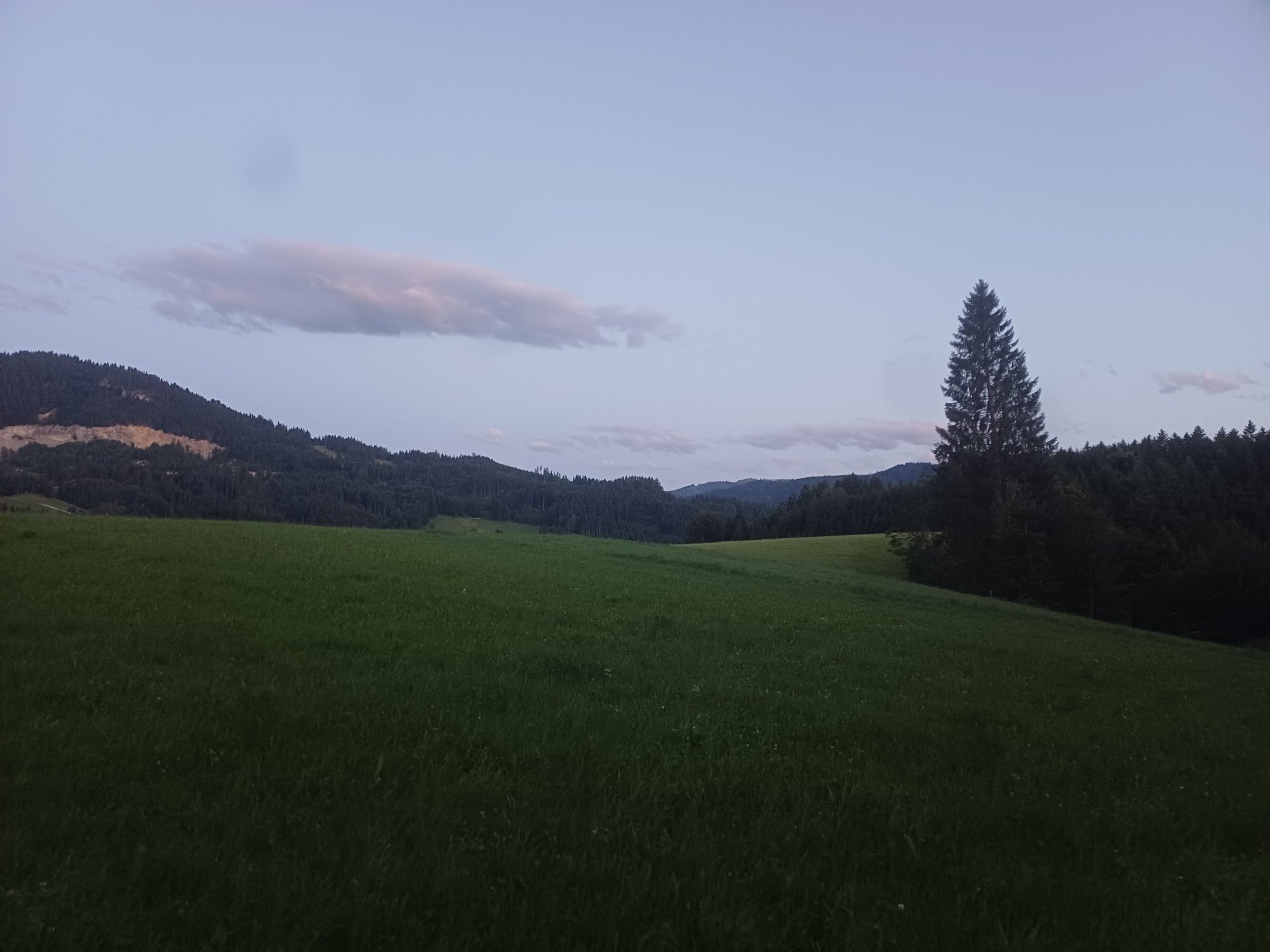
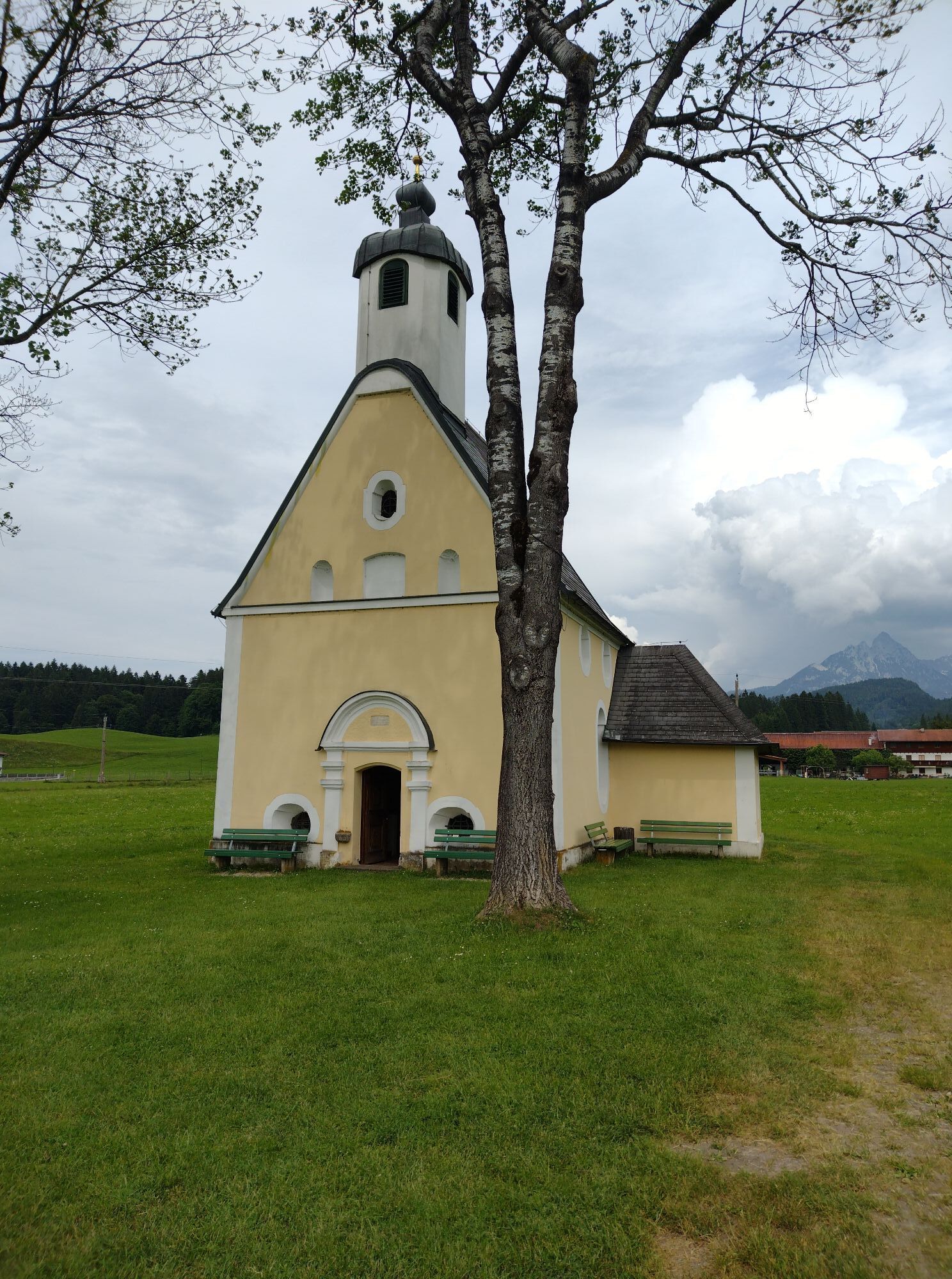
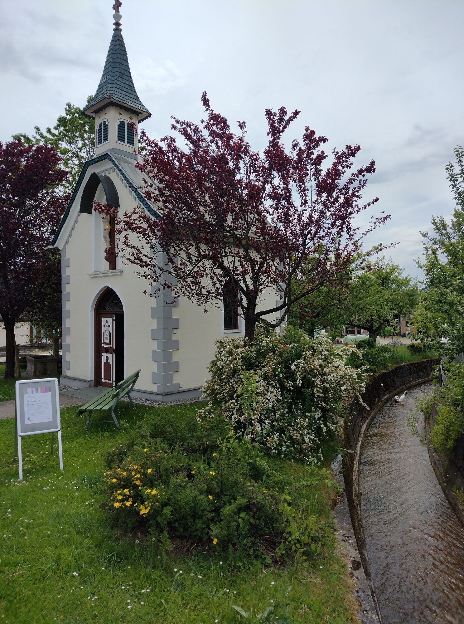
You start in the village centre of Bad Häring and walk along the main road in the direction of Schwoich. In the 3-Grafen Str. you leave the main road and follow the signs past a nice little chapel in the middle of the fields and further towards the sports field. From there, one virtually circumnavigates the spa centre in order to take the path along the forest with a marvellous view of the Pölven to the rehabilitation centre behind on the hill. Just like the Hotel Panorama Royal, one passes by in order to then walk over fields and views into the Inn valley as well as some detours through some hamlets back to the centre of the village.


Via the Inntal motorway A12 exit Kirchbichl and continue to Bad Häring.
Take line 4026 in the direction of Wörgl and get off at "Bad Häring Dorf". With the KufsteinerlandCard within the region bus free of charge.
Municipal office or primary school, free of charge.
Webové kamery z prohlídky

Oblíbené prohlídky v okolí
-
4.4
Rosskopf
světloTuristika 7.02 km -
4.9
Route 209: Brechhornhaus-Choralpe
heavyMountainbike 24.4 km -
4.8
Rehbachklamm
středníTuristika 7.27 km -
3.2
Kundler Klamm
světloTuristika 6.33 km -
4.7
Hintersteinersee
středníTuristika 9.87 km -
4.6
Über Hintersteinersee und Walleralm aufs Hochegg
světloTuristika 12.2 km -
4.5
Wanderung um den Hintersteinersee
světloTuristika 5.29 km -
4.3
Bergdoktor Wohnhaus "Gruberhof" (Köpfing Hof) Rundeweg-Söll
světloTuristika 8.70 km -
4.4
Panoramarunde Brandstadl-Hartkaiser
světloTuristika 6.26 km -
4.4
Hochsöller Runde
světloTuristika 7.98 km
Pěší turistika a stopování


Nenechte si ujít nabídky a inspiraci pro vaši příští dovolenou
Vaše e-mailová adresa byl přidán do poštovního seznamu.


