







Berg training loop
Úroveň obtížnosti: 2
Experience the Running and Nordic Walking Arena Tannheimer Tal
Whether breathless beginner or well-trained mountain athlete: In the Tannheimer Tal, everyone benefits who wants to exercise in the fresh air...
Whether breathless beginner or well-trained mountain athlete: In the Tannheimer Tal, everyone benefits who wants to exercise in the fresh air and explore the surrounding mountains on foot. Every day, all active people, from hobby athletes to professionals, face the choice: The largest network of trails in Tyrol offers 26 marked routes extending over a total of 186 kilometers. Beginner loops as well as demanding mountain runs are included. And so that all guests know which route matches their fitness and requirements, a specially designed map and small signs provide information on altitude profile, difficulty base, and length of the route – the Running and Nordic Walking map. Along meadows, across green alpine pastures, by sparkling mountain lakes... Walking and running in the Tannheimer Tal is not only the best training for the body but above all a balm for the soul. The starting points for all those eager for movement are located in the six villages of Tannheim, Grän-Haldensee, Nesselwängle-Haller, Zöblen, Schattwald, and Jungholz.


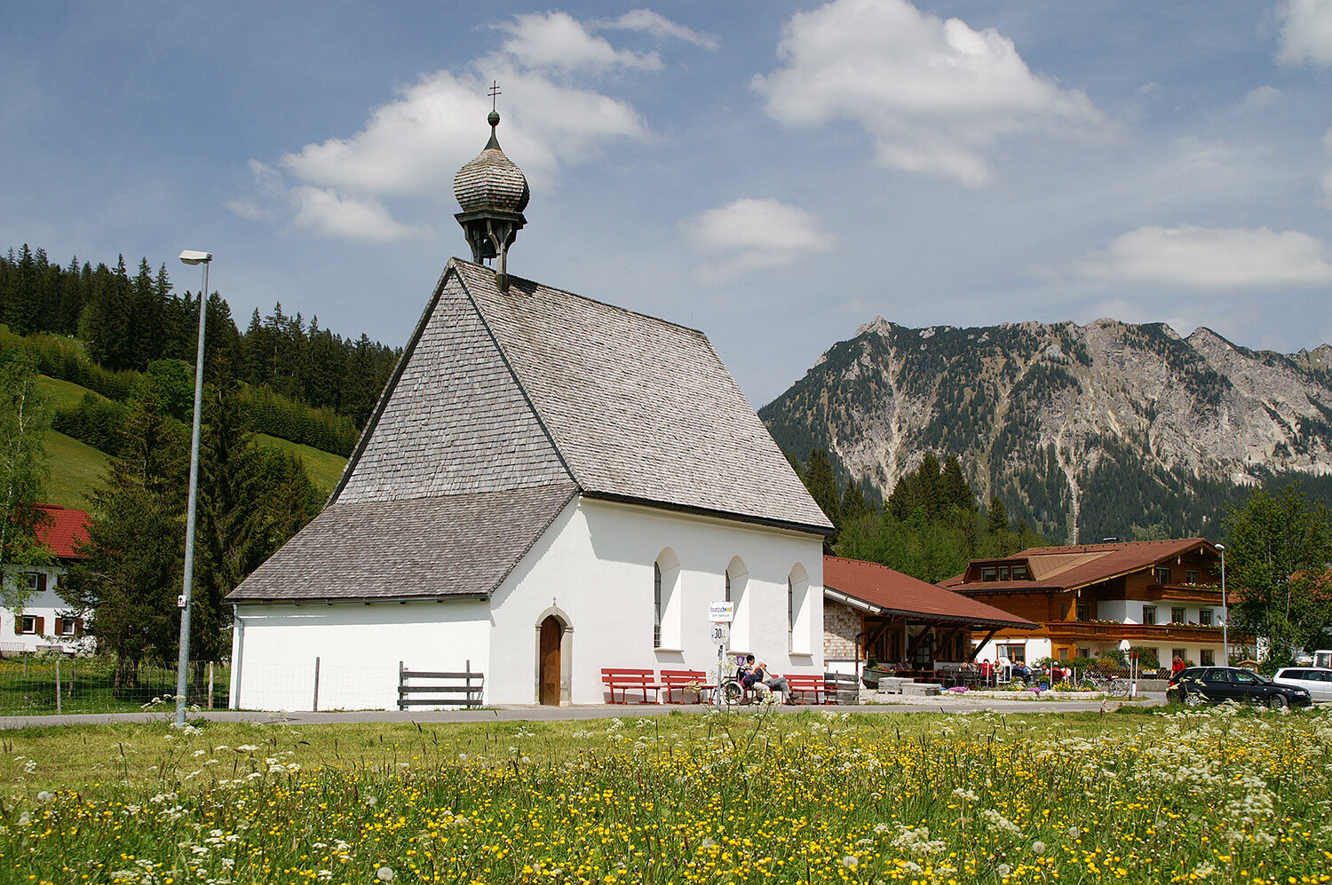
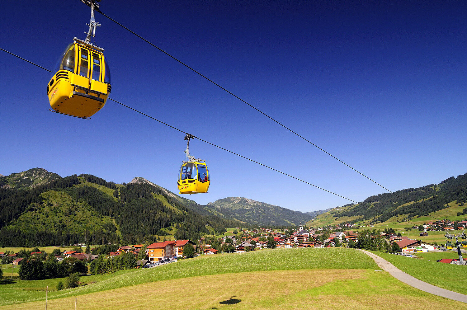
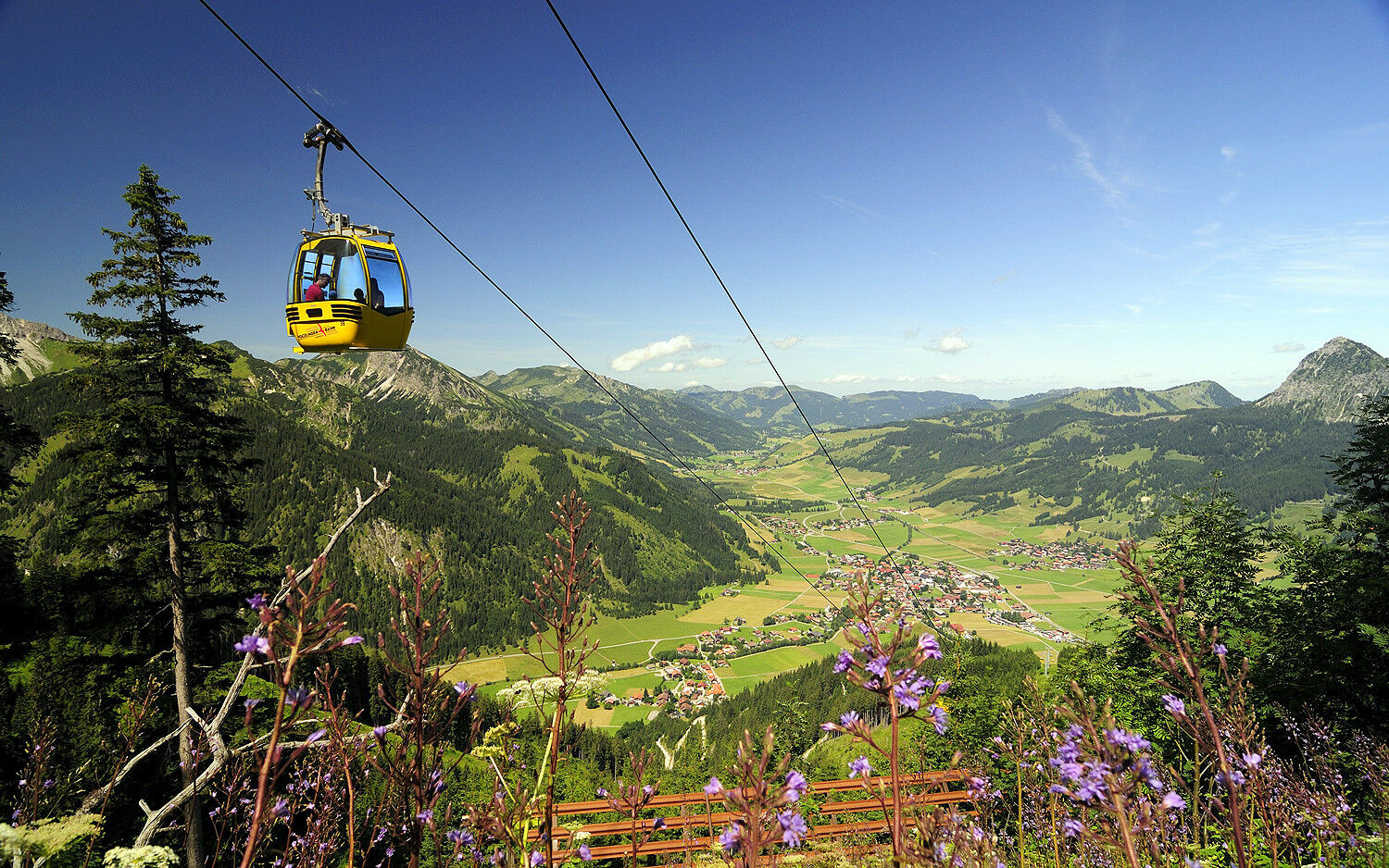

Head north and cross the federal road at the zebra crossing. Go straight ahead to the start of the training loop, continue to the Innergschwend fork in the path. Turn left, at the next fork also turn left and return to the starting point.
The Berg training loop serves as a speed running route and as a beginner running route.
Ano
Your personal equipment must be safe and usable, and meet the respective technical standards. Everyone is advised to inform themselves about the planned routes in specialist literature or on site. Complete equipment is strongly recommended even for experienced persons!
Please note that running and walking sports carry an increased risk of accidents and injuries. Despite careful route planning, a basic risk always remains. Preparing through endurance training, appropriate technical training and further education, as well as personal caution reduces the risk of accidents and dangers.
On the A7 motorway at the "Oy-Mittelberg" exit, take the B310 towards Wertach and Oberjoch. There follow the signs "Tannheimer Tal" B199, exit Tannheim, up to Tannheim. From the Tyrolean side via Reutte on the B198 towards the Lechtal to Weißenbach, over the Gaicht Pass along the B199 to Tannheim.
By train to Sonthofen, Pfronten/Ried, or Reutte, then by bus to Tannheim
Lift parking lot Tannheim - subject to a fee
2
Short sprints increase training success
Získejte přehled
Vždy živě na místě s více než 9 500 webkamerami. bergfex Jako uživatel Pro si nyní můžete zobrazit odpovídající webové kamery pro mnoho prohlídek v aplikaci prohlídky z. Můžete si tak přímo prohlédnout aktuální podmínky.
Oblíbené prohlídky v okolí
-
4.7
Around Weißensee
světloTuristika 6.12 km -
5.0
Hiking tour to Breitenberg
heavyTuristika 15.6 km -
4.9
Gemeinde Grän, Tirol/Österreich Aggenstein Rundtour über Höhenweg
středníTuristika 9.84 km -
4.8
To the Bad Kissinger Hut via the Gräner Höhenweg
středníTuristika 13.0 km -
4.8
Tannheim / Vilsalpsee / Landsberger Hütte
středníTuristika 15.7 km -
4.8
Iseler und Kühgundkopf
středníTuristika 7.63 km -
4.2
Tříjezerní túra (oceněná Pečetí kvality Tyrolské horské stezky)
středníTuristika 14.8 km -
4.7
3-Gipfel-Tour
středníTuristika 11.2 km -
4.6
3-Seen Rundtour Vilsalpsee / Schrecksee / Traualpsee
středníTuristika 17.1 km -
4.5
Durchs Schneetal zum Hahnenkamm
středníTuristika 14.1 km
Pěší turistika a stopování


Nenechte si ujít nabídky a inspiraci pro vaši příští dovolenou
Vaše e-mailová adresa byl přidán do poštovního seznamu.





