


TIP Trip Tyrol ➤ NASENWAND VIA FERRATA GINZLING
Úroveň obtížnosti: D/E
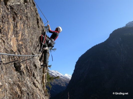
Quite atypical for mountaineering, you reach the start of the via ferrata in less than 10 minutes, but then it gets serious immediately. The route splits into two parts, both rated as "difficult." When...
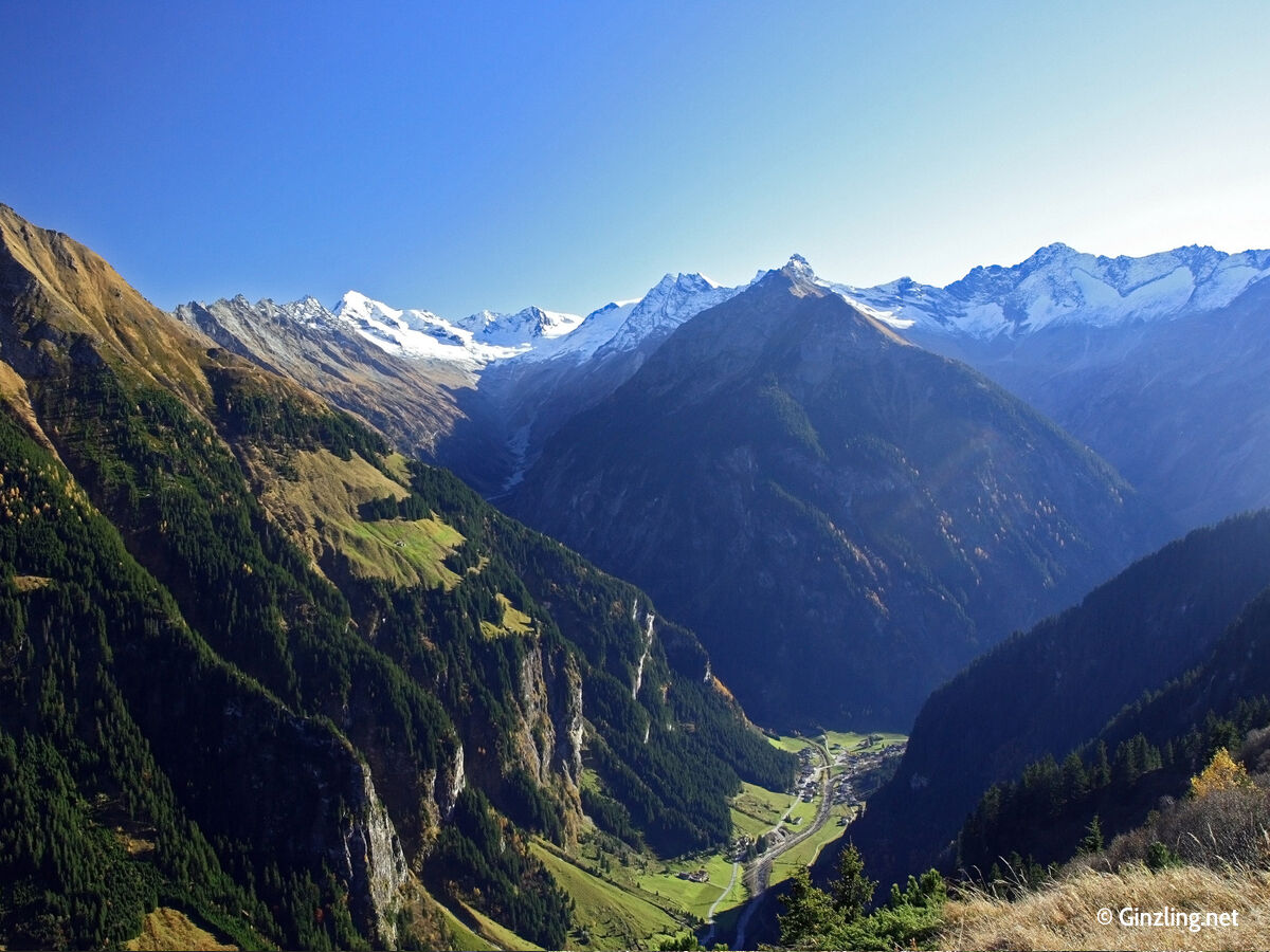
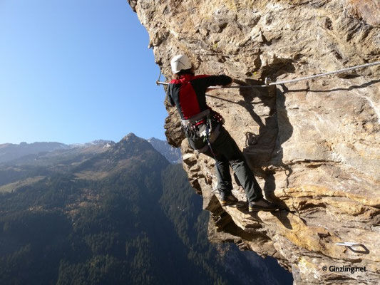
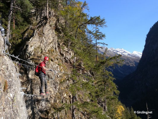
Quite atypical for mountaineering, you reach the start of the via ferrata in less than 10 minutes, but then it gets serious immediately. The route splits into two parts, both rated as "difficult." When you reach the ledge under the Nose wall, you must decide whether to enter the extremely difficult upper part or exit the route via a specially constructed escape path. Those with the strength are rewarded with a fantastic airy crux more than 200 m high. Overall, a very beautiful and also demanding climbing route, you are almost always challenged, rarely are there easier sections on the way to the exit. Once you reach the end of the route, your gaze drifts to the mostly white peaks, which form a wonderful contrast to the green alpine landscapes in the valley.

Complete via ferrata equipment and helmet
Take the Inntal motorway to the Zillertal exit and then follow the well-developed road to Mayrhofen in the rear Zillertal. At the edge of town, turn left towards Ginzling and after a tunnel section (traffic light control, can also be bypassed on the right via a narrow road) you reach the mountaineering village Ginzling. Best to park in the area of the nature park house.
by train from Jenbach to Mayrhofen, then by bus to the mountaineering village Ginzling
best to park at the nature park house
D/E
The route should definitely not be underestimated; if you already have problems after the first part, you should definitely descend to the left via the emergency exit!
Oblíbené prohlídky v okolí
- 4,5
Mayrhofen-Stilluptal
středníMountainbike 18,4 km - 4,1
Schlegeis-Stausee - Olperer Hütte
světloTuristika 6,30 km - 3,9
Edelhütte
světloTuristika 3,16 km - 4,7
Neumarkter Runde
středníTuristika 10,4 km - 4,9
Friesenbergalm & Olpererhütte
heavyTuristika 13,4 km - 4,7
Gamshütte von Finkenberg aus
středníTuristika 5,28 km - 4,7
Klassische Startrunde zum „Einwandern“
světloTuristika 8,77 km - 4,5
Ahornspitze
středníHorská turistika 14,2 km - 5,0
Wanderung zur Schwarzsteinhütte
heavyTuristika 17,8 km - 4,6
Melchboden - Arbiskopf - Rauhenkopf - Rastkogelhütte - Melchboden
středníTuristika 7,53 km

Pěší turistika a stopování


Nenechte si ujít nabídky a inspiraci pro vaši příští dovolenou
Vaše e-mailová adresa byl přidán do poštovního seznamu.