






Breitlehn and Kapuzinerjöchl (from Ötztal to Pitztal) - Längenfeld/Huben
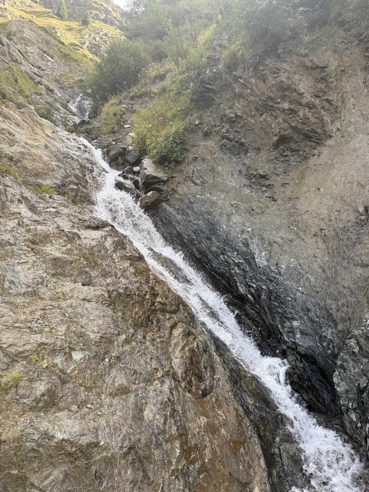
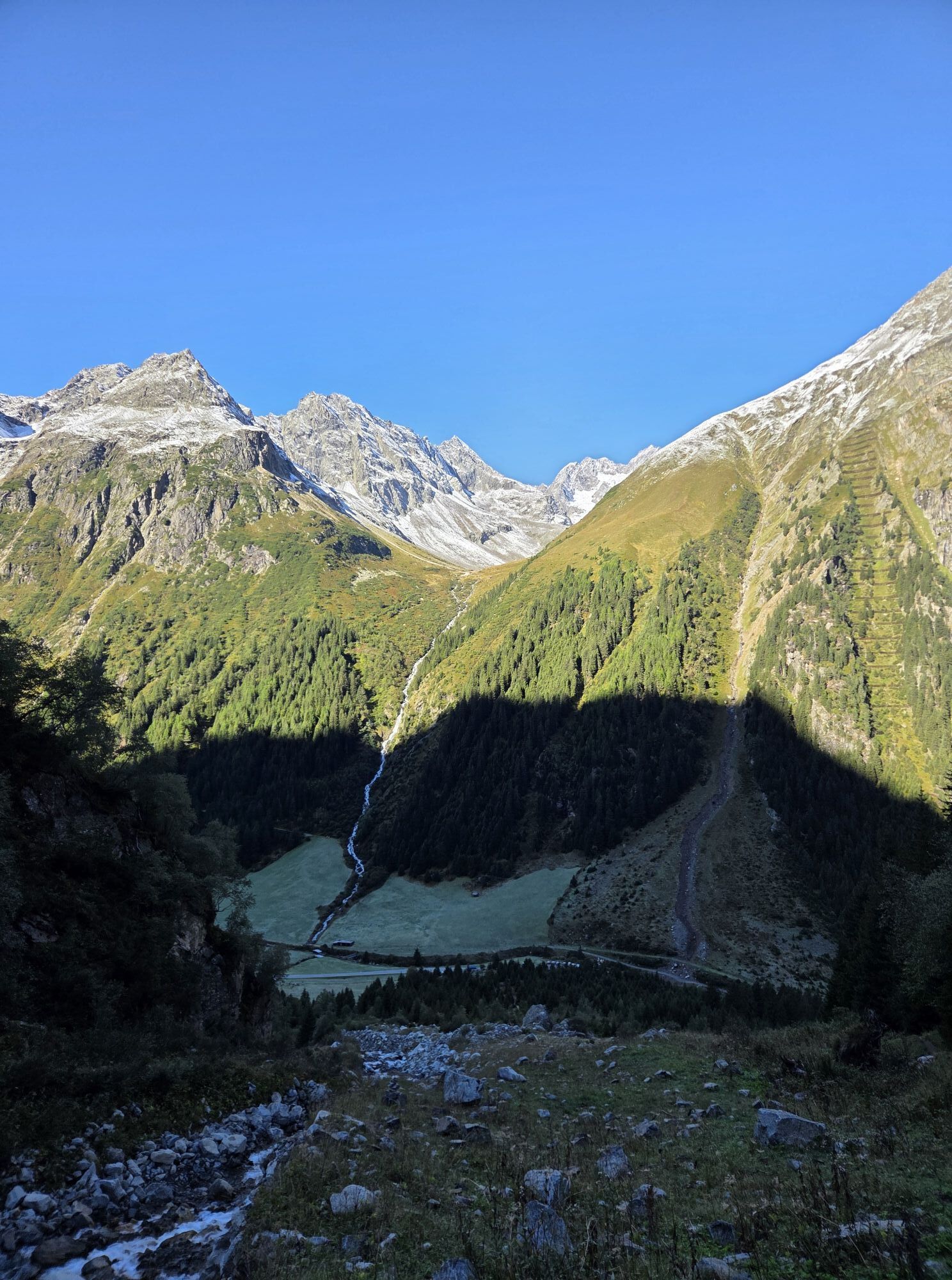
Those who choose to ascend on foot start from the small group of houses "Mühl" in Huben via a trail directly to Breitlehnalm.
From the alm, a trail leads into the entrance of the pasture-rich high valley...
Those who choose to ascend on foot start from the small group of houses "Mühl" in Huben via a trail directly to Breitlehnalm.
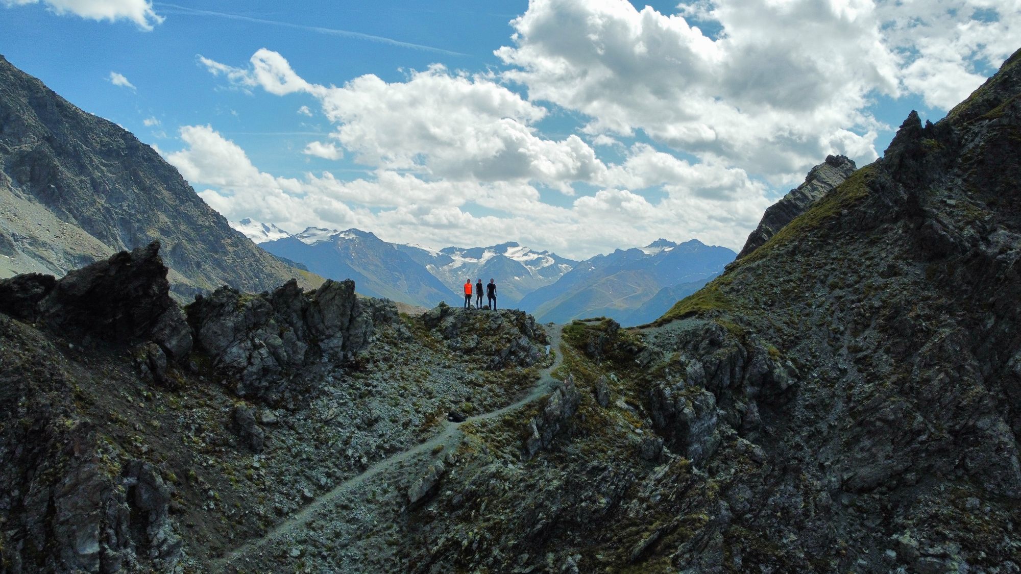
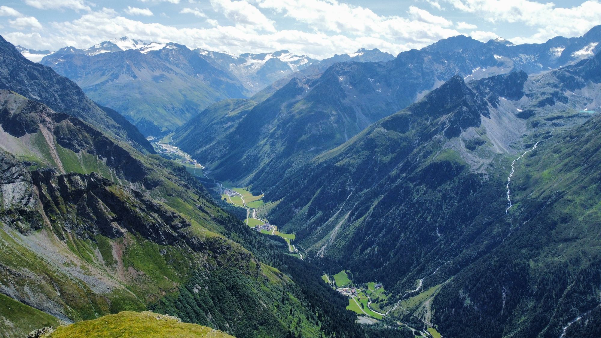
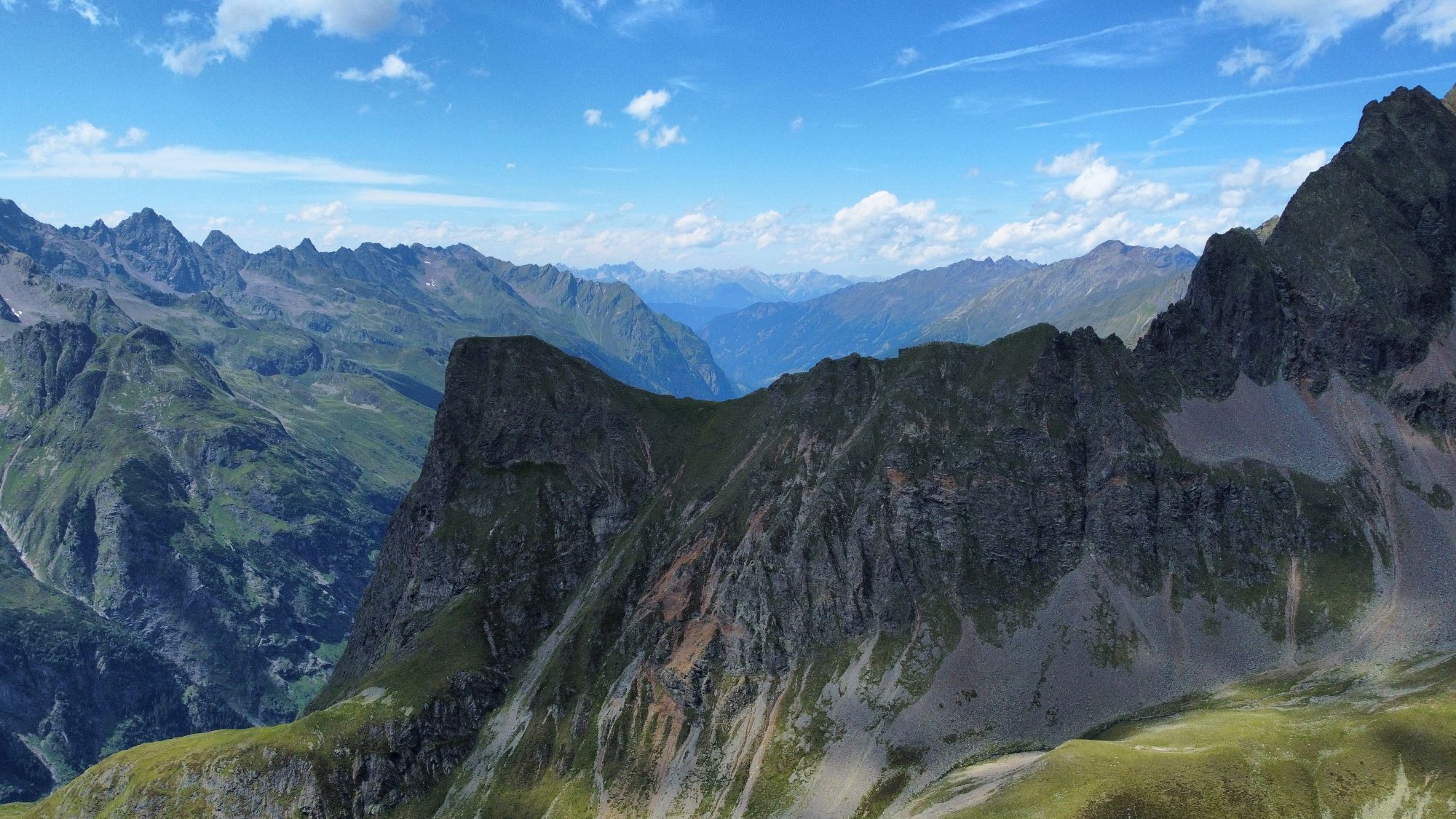
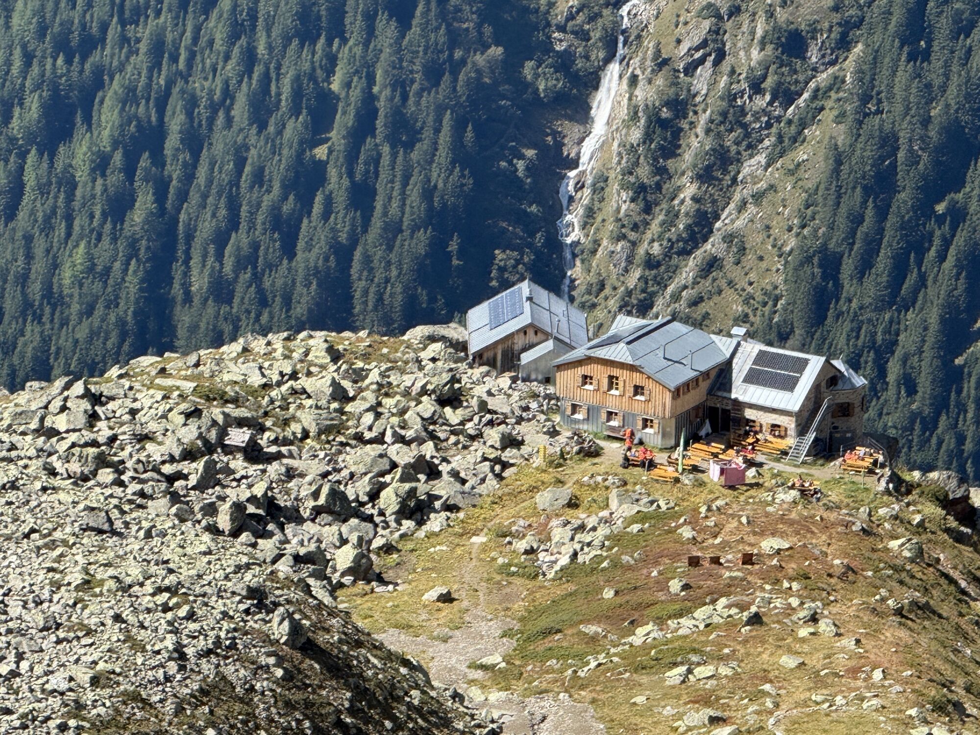
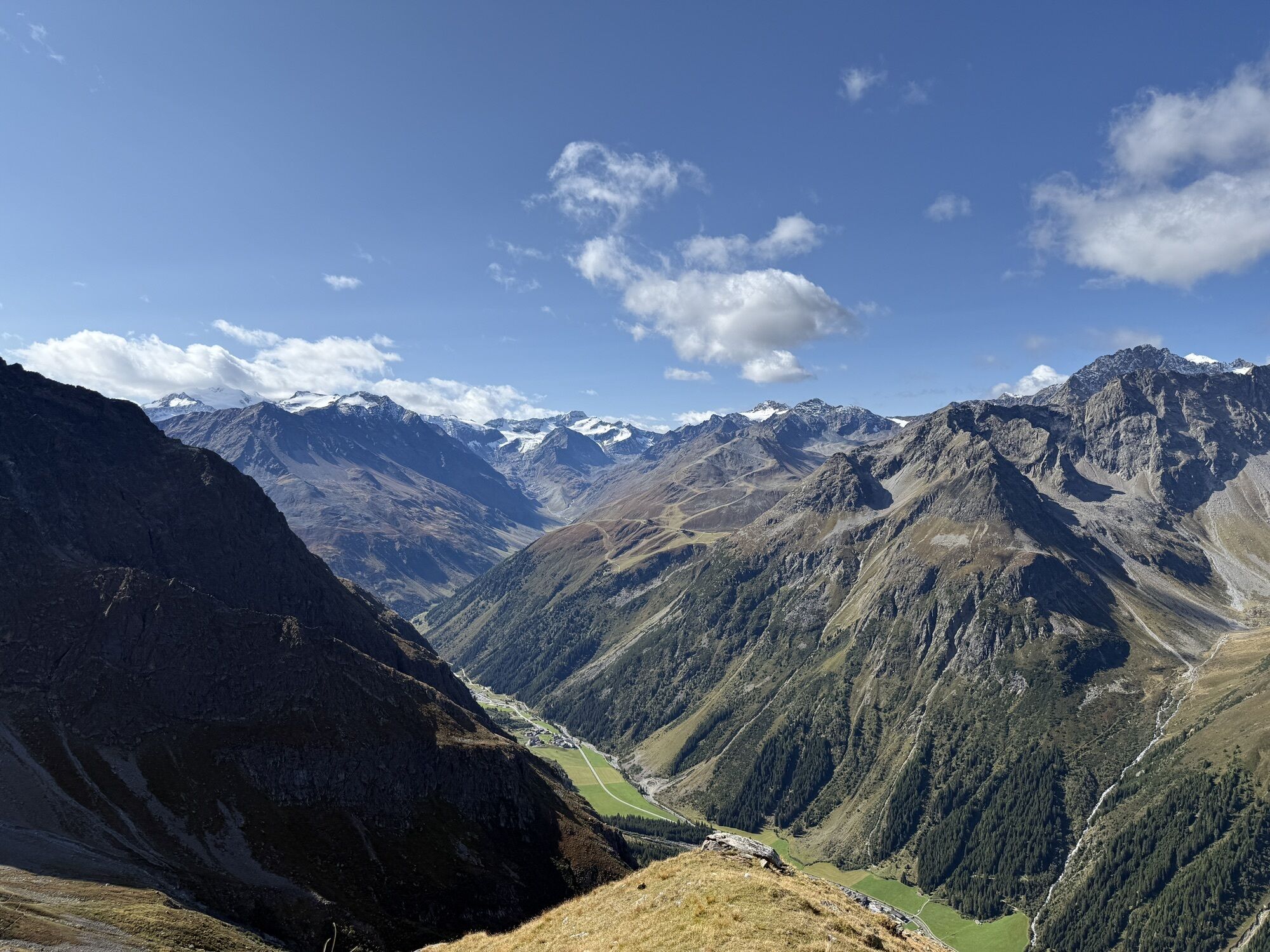
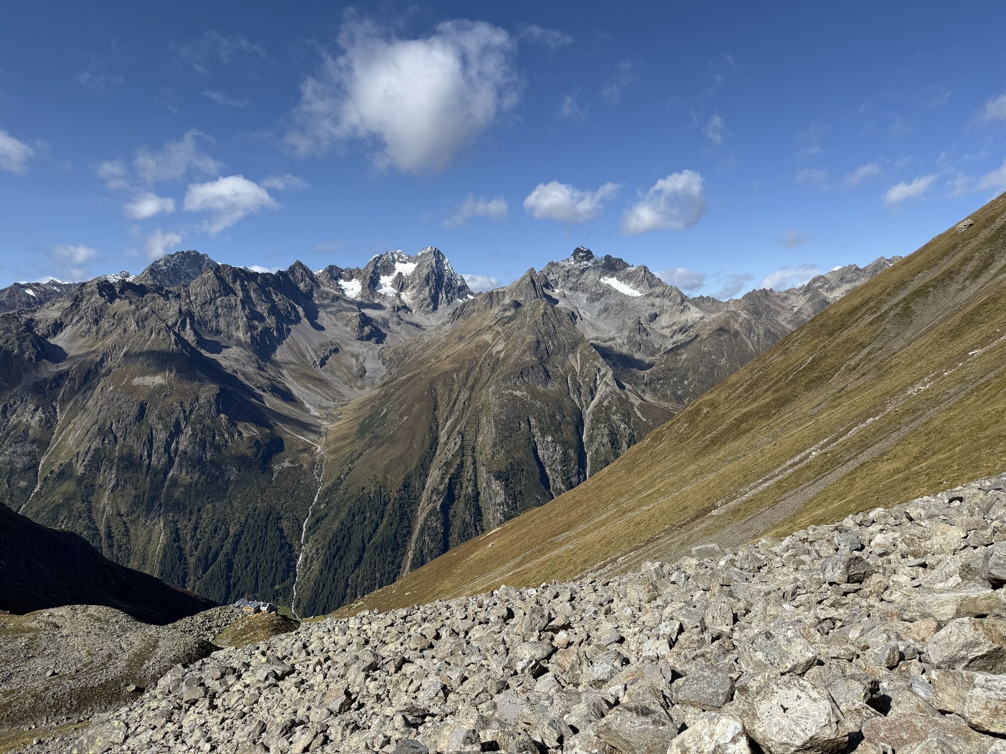
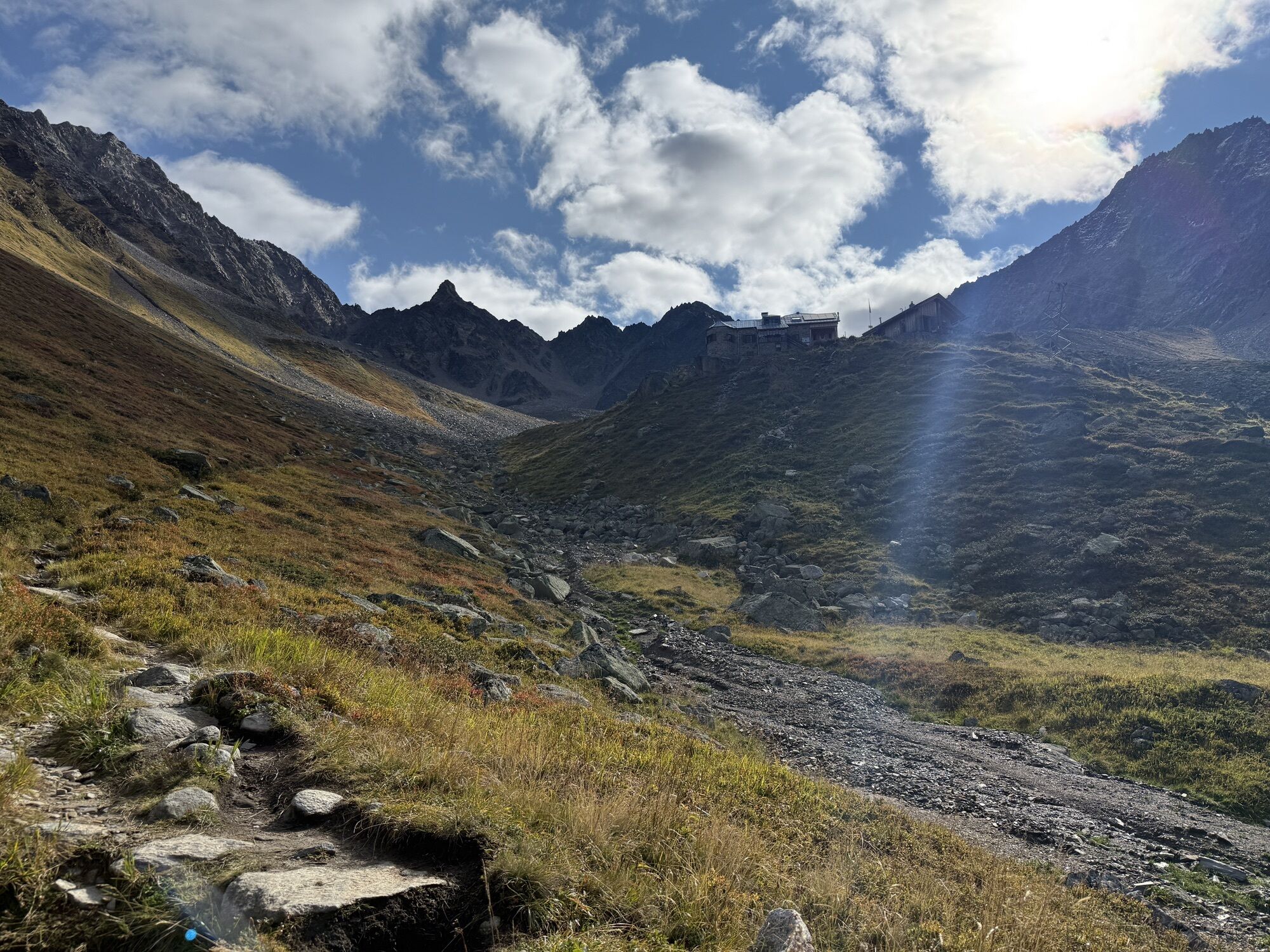
From the alm, a trail leads into the entrance of the pasture-rich high valley and ascends steadily upwards until reaching the valley floor filled with scree and rocks. From Breitlehnjoch, one can see for the first time the characteristic Kaunergrat (Watzespitze, Verweilspitze ...). A complete view that constantly amazes you. The trail to Kapuzinerjöchl requires full attention. After crossing a scree slope, small switchbacks lead very steeply through rocky terrain up to the col. Through the Rötenkar, first descending, and then rising on the opposite slope, you reach the viewpoint Gahwinden. The Rüsselsheimer hut (about 45 minutes away) is already visible. During the descent into the Pitztal to the parking lot between Weißwald and Plangeross, you are accompanied by the view of the distinctive rock formations of the Kaunergrat mountains.


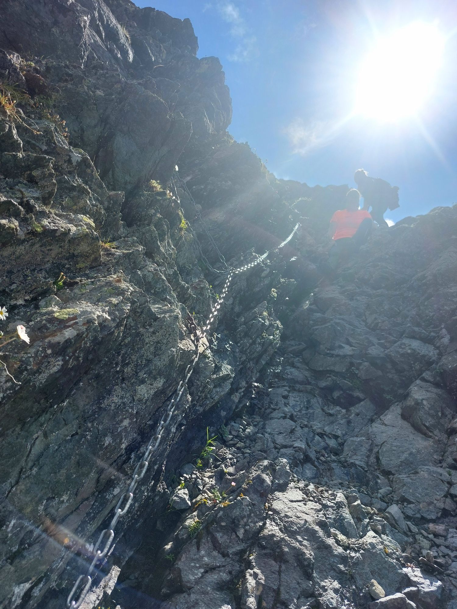
The ascent to Breitlehnalm is via a hiking trail that leads through dense forest. From the alm, it initially continues through meadows. However, the path becomes increasingly steeper and rougher. A scree slope leads up to Breitlehnjoch. The trail to Kapuzinerjöchl is secured with a cable and requires full attention. Descend through the Rötenkar to then take the ascent again on the opposite slope to the viewpoint Gahwinden. The Rüsselsheimer hut is now already visible. The descent into the Pitztal runs on a well-passable trail.
Appropriate equipment such as breathable and weather-appropriate outdoor clothing,
ankle-high hiking boots, wind, rain, and sun protection, a hat, possibly gloves, is required for all
hikes and routes. Carrying a first aid kit, a mobile phone, and possibly
a map, as well as sufficient provisions on hikes without the possibility of stopping for food, is necessary.
Suitable for those free from dizziness, sure-footed, and alpine experienced climbers;
Very good physical condition, alpine experience and mountain equipment (see under equipment), sometimes
alpine safety gear, good weather conditions recommended
Please check the current weather report at: https://www.oetztal.com/de/sommer.html
Driving into ÖTZTAL
Arrival by car takes visitors over the Inn valley to the valley entrance and continues along the Ötztal. In addition to the toll motorway, country roads can also be used. With the route planner, you can quickly and conveniently determine your drive. Route planner: https://www.google.at/maps
Travel comfortably and safely by train. The terminal or exit point is ÖTZTAL station. Afterwards, you can travel conveniently and quickly by public transport or local taxi companies through the entire valley to your destination. The current bus schedule is available at: http://fahrplan.vvt.at
The following parking lots are available:
Huben - Funpark - free of charge
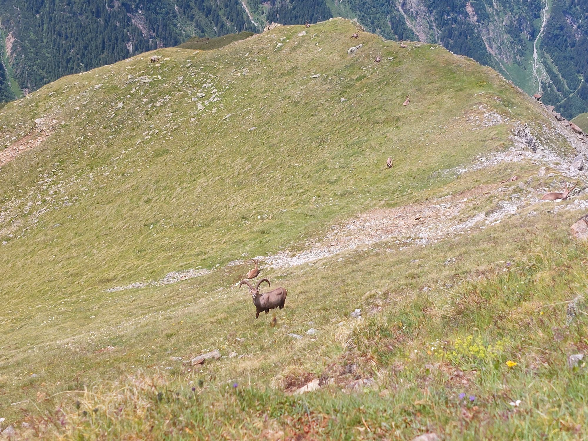
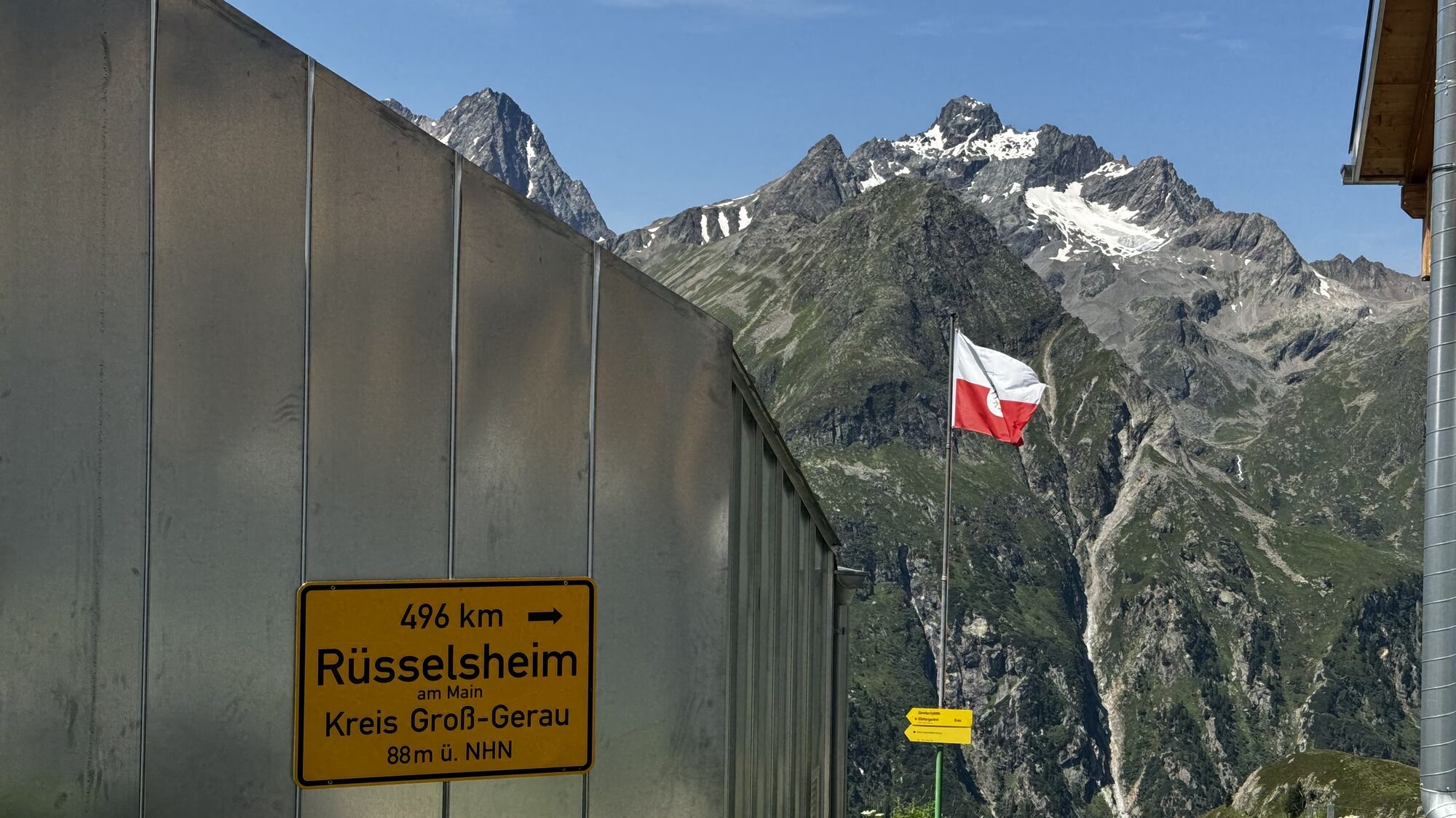
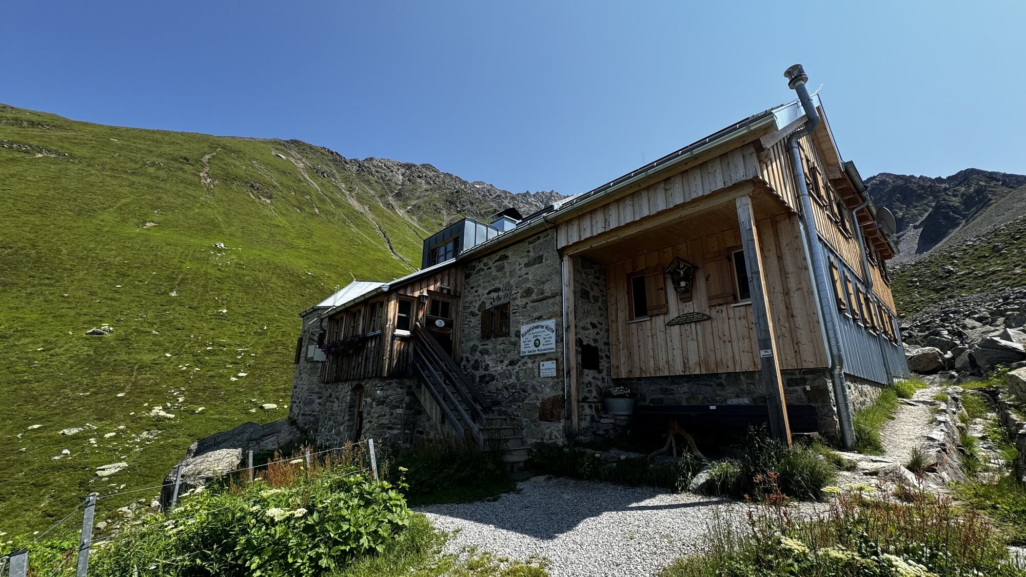
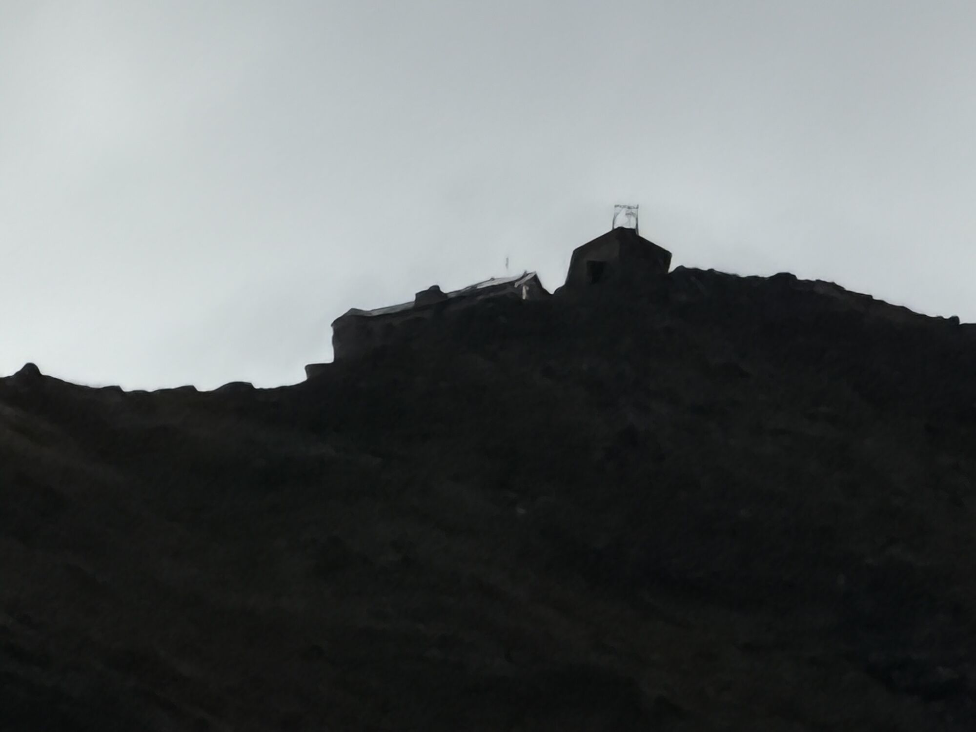
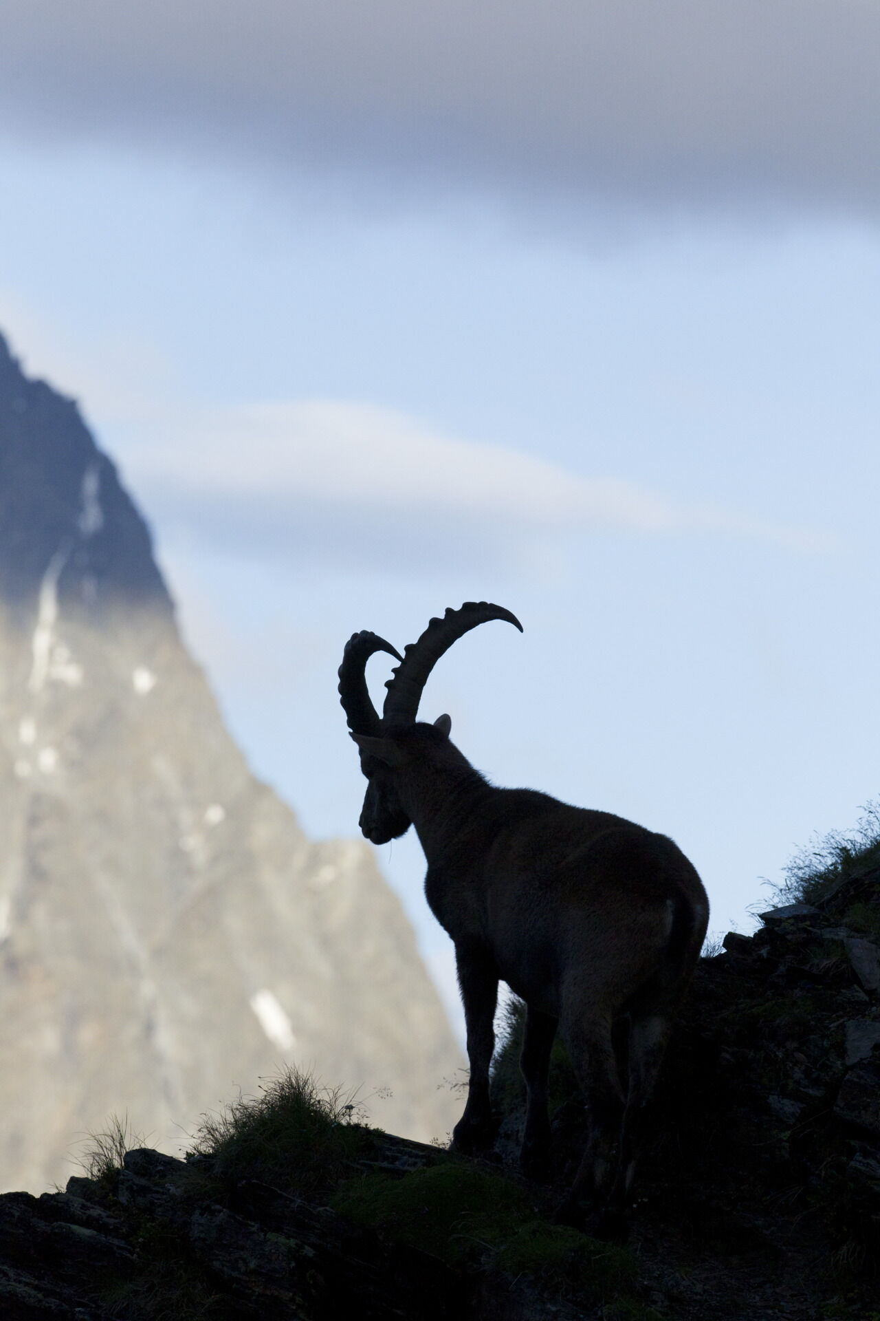
In 2001, the former Neue Chemnitzer Hut was renamed Rüsselsheimer Hut. The important base in the middle part of the Geigenkamm high route is enriching not only because of its location and wildlife but also in culinary terms. For example, you can enjoy delicious ibex dishes here.
Due to the long walking time, taking the hut taxi to Breitlehnalm is advisable. If you go on foot from Huben, staying overnight at the Rüsselsheimer Hut is recommended.
The return journey to the starting point can be made by bus via Imst.
The hut taxi runs once a week. A reservation is required.
Ötztal Tourism - Längenfeld Information
+43 (0)57200 300
Získejte přehled Vždy živě na místě s více než 9 500 webkamerami. bergfex Jako uživatel Pro si nyní můžete zobrazit odpovídající webové kamery pro mnoho prohlídek v aplikaci prohlídky z. Můžete si tak přímo prohlédnout aktuální podmínky. Oblíbené prohlídky v okolí
- 4.6
Winnebachsee Hut – Längenfeld/Gries
středníTuristika 4.74 km - 4.7
Winter circular route Brandalm/Burgstein - Längenfeld 204
středníZimní turistika 5.44 km - 4.3
Hike Stuibenfall - Umhausen
světloTuristika 2.95 km - 4.3
Stuibenfall Umhausen circular hike
světloTuristika 9.32 km - 4.4
Rundwanderung Hängebrück3
světloTuristika 6.32 km - 4.3
Amberger Hut - Längenfeld/Gries
středníTuristika 5.60 km - 4.4
Umhausen - Stuibenfall - Umhausen
středníTuristika 7.94 km - 3.1
Tiefenbachglacier - Mountaineering Village Vent
středníTuristika 10.8 km - 5.0
Hoher Seeblaskogel 3235m - Längenfeld/Gries
heavyTuristika 8.38 km - 4.1
Hohe Geige über Gawinden und den Westgrat
heavyTuristika 14.3 km
Pěší turistika a stopování


Nenechte si ujít nabídky a inspiraci pro vaši příští dovolenou
Vaše e-mailová adresa byl přidán do poštovního seznamu.





