







Ötztal Trek Route 5
Úroveň obtížnosti: T6
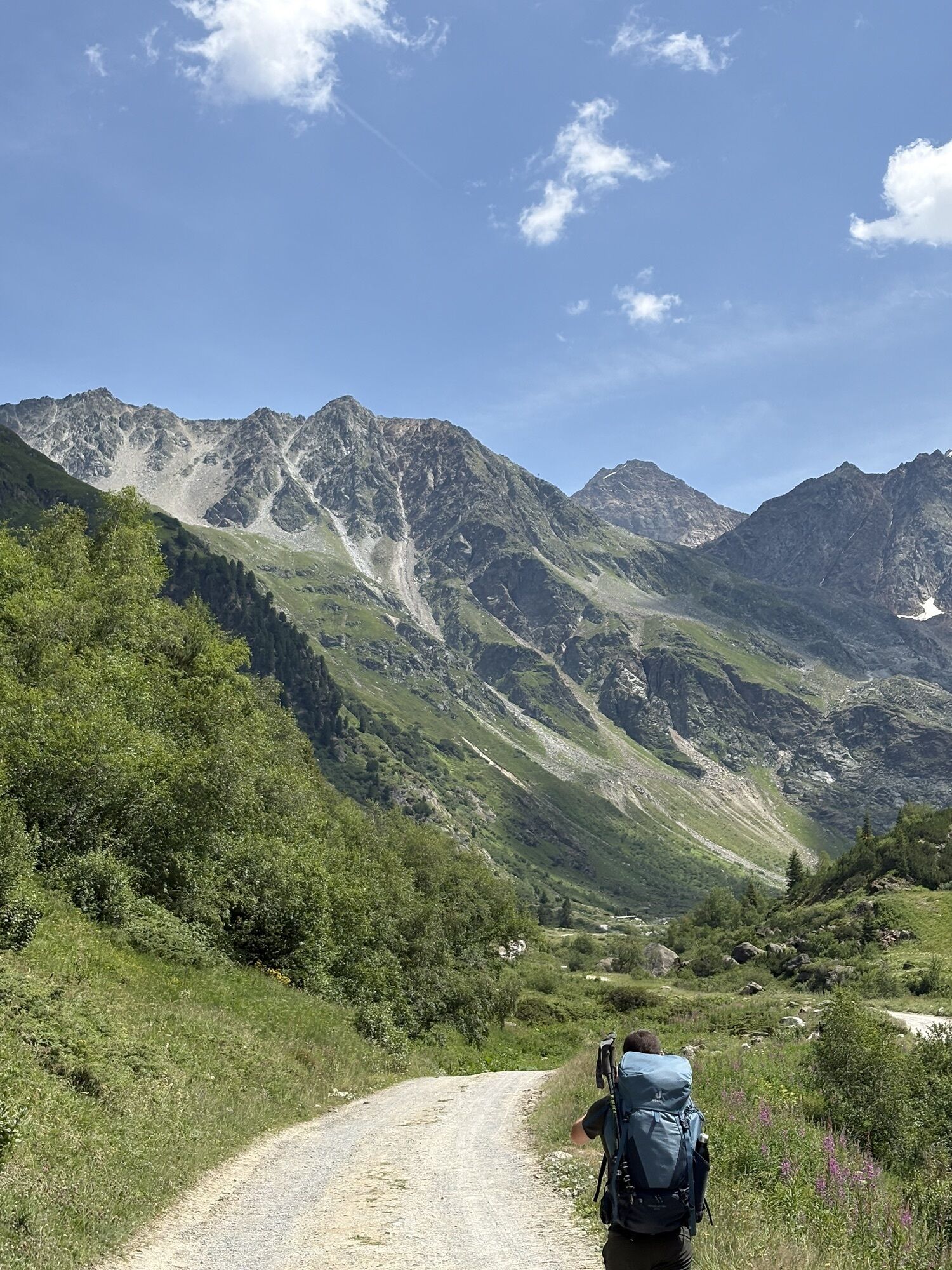
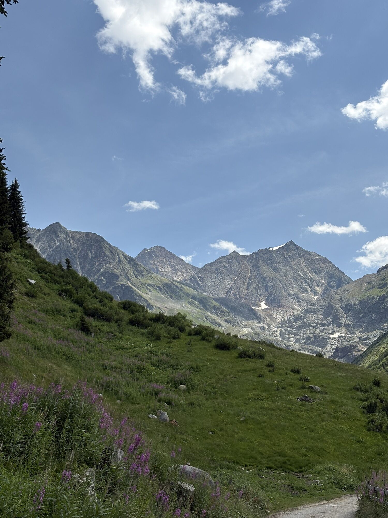
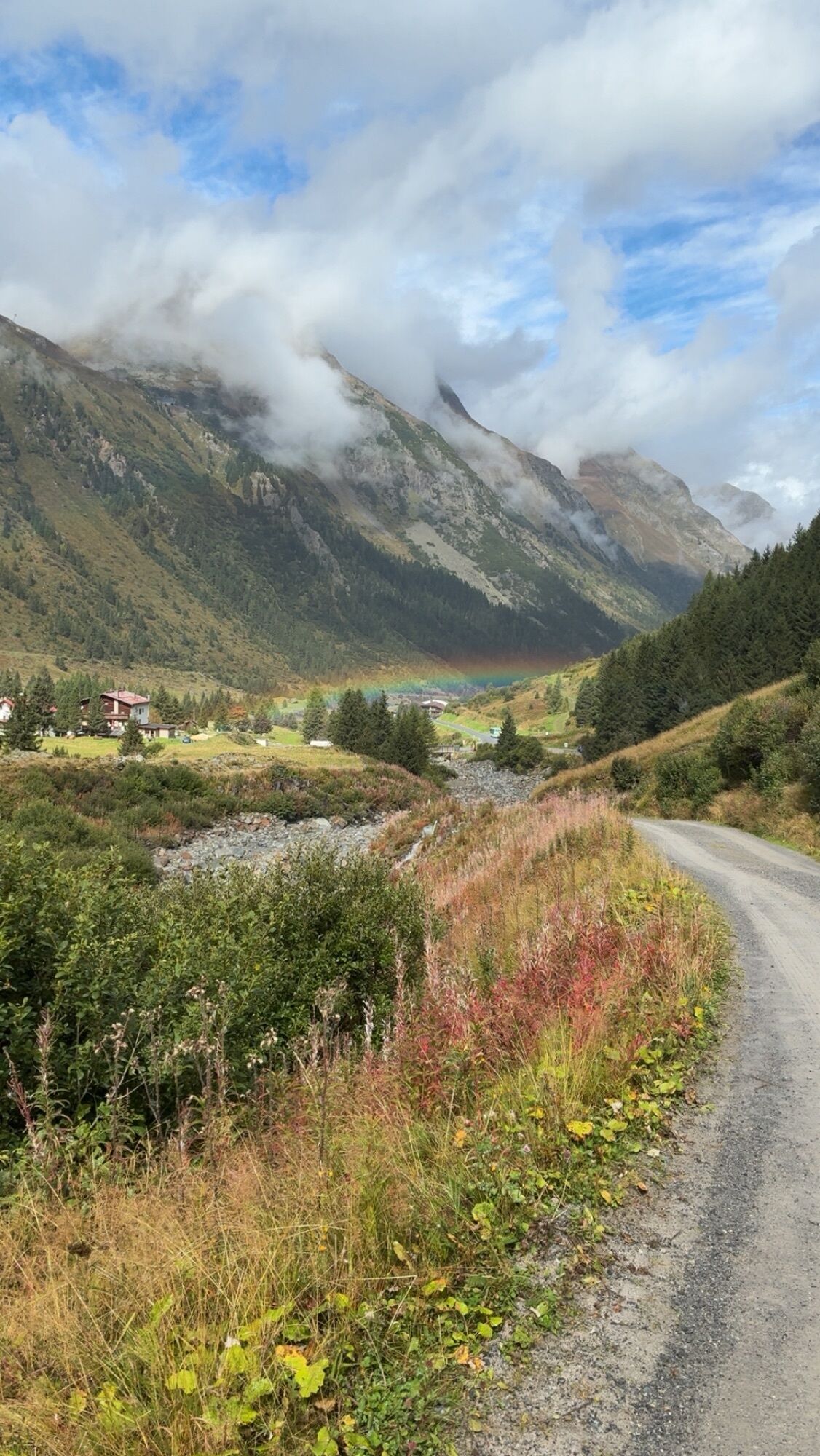
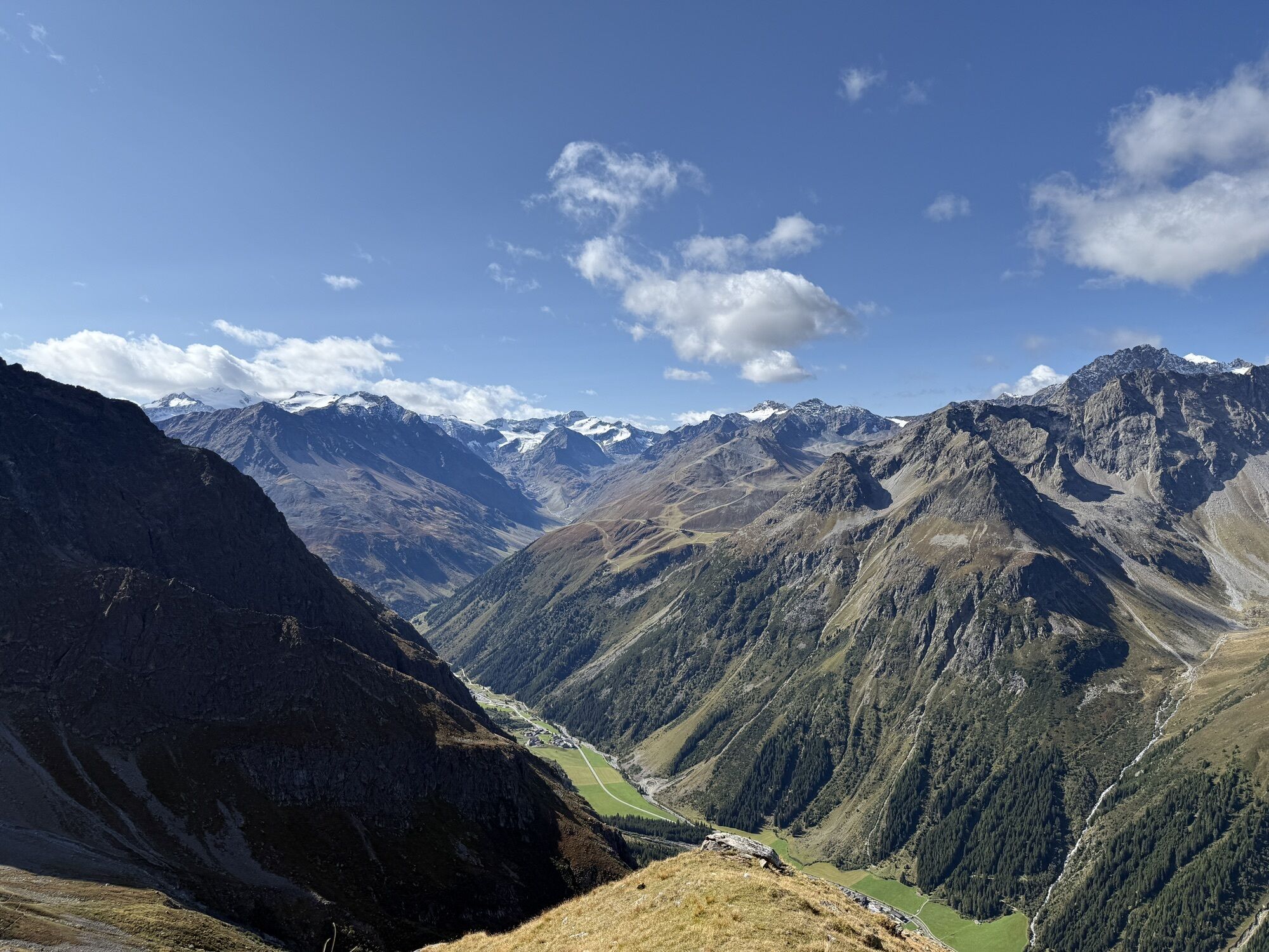
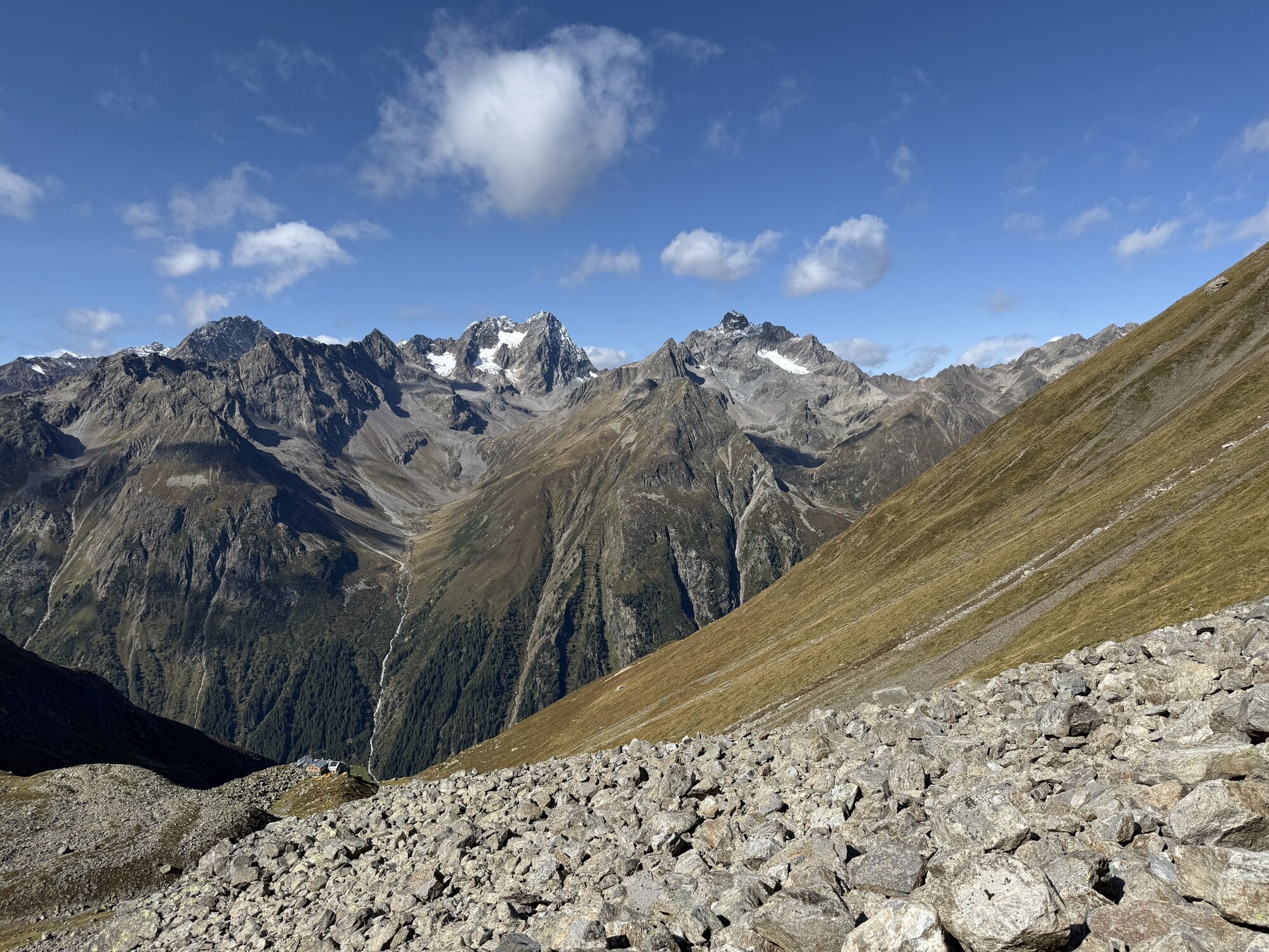



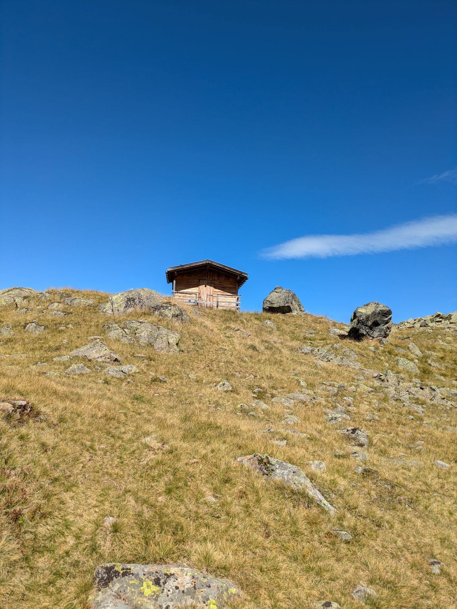
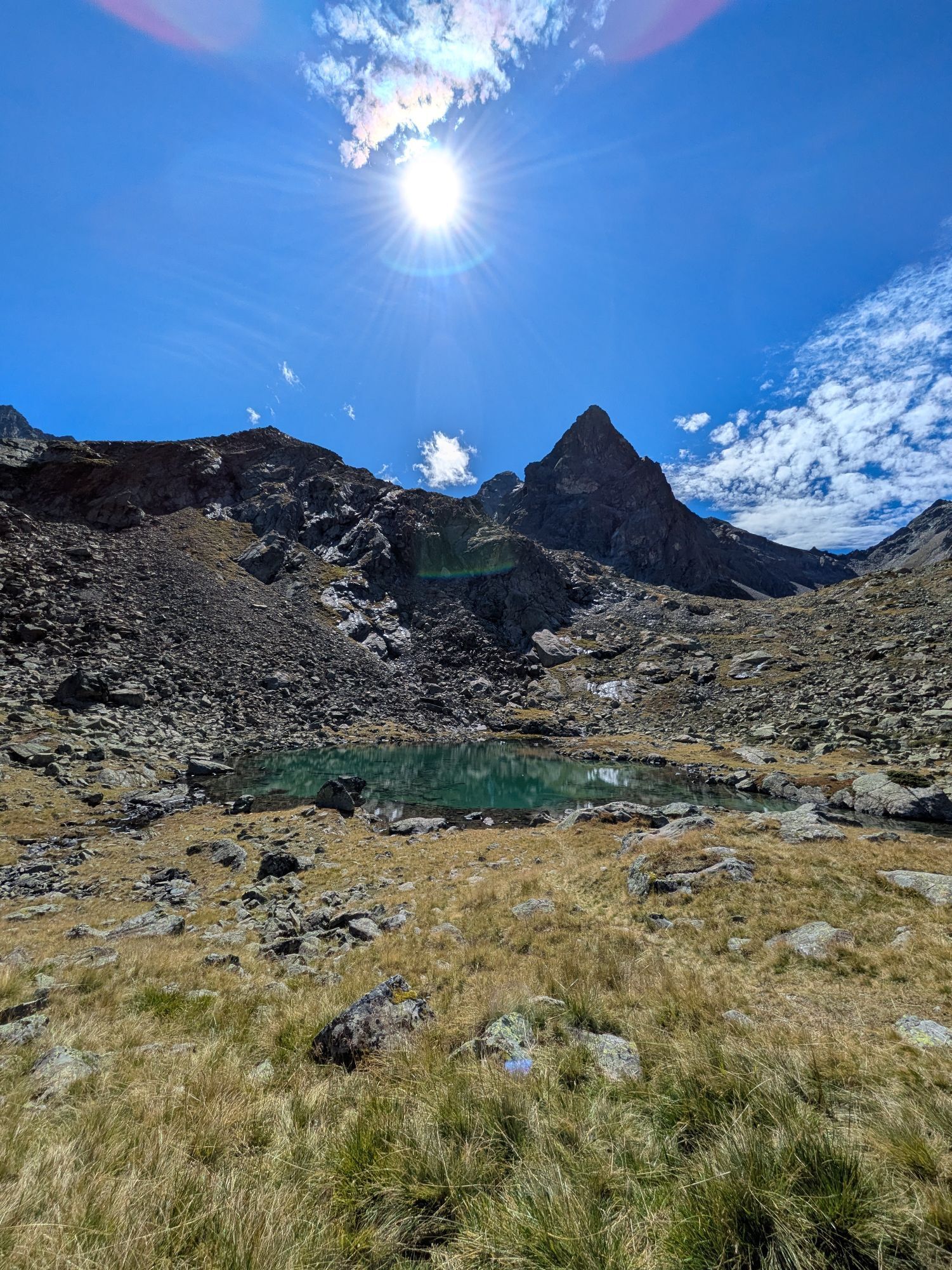
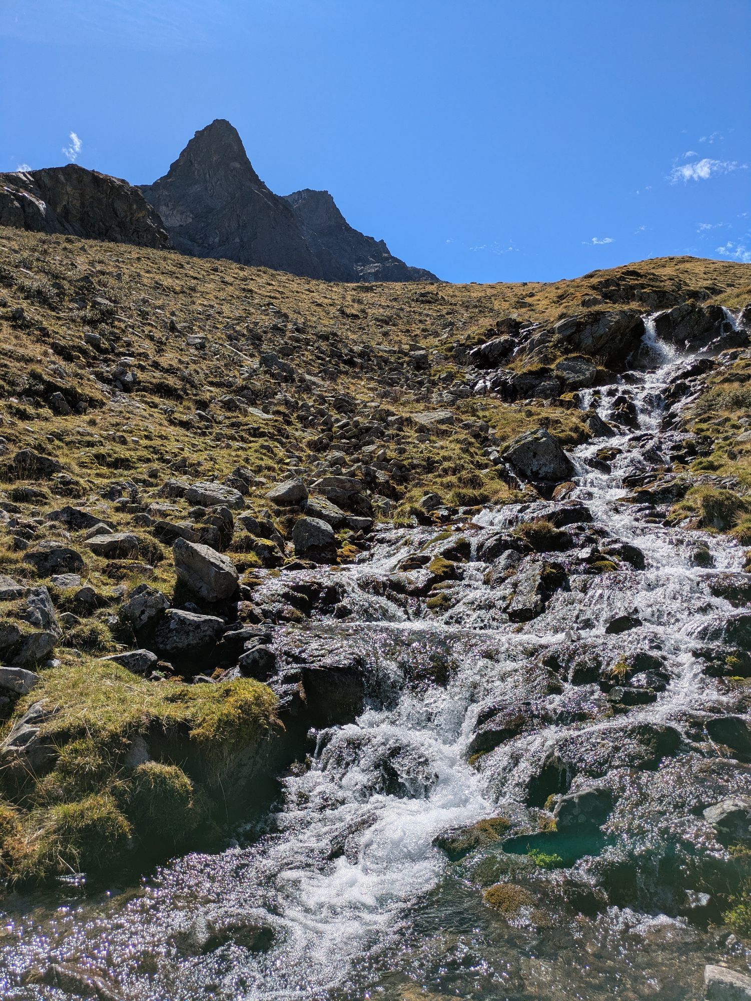
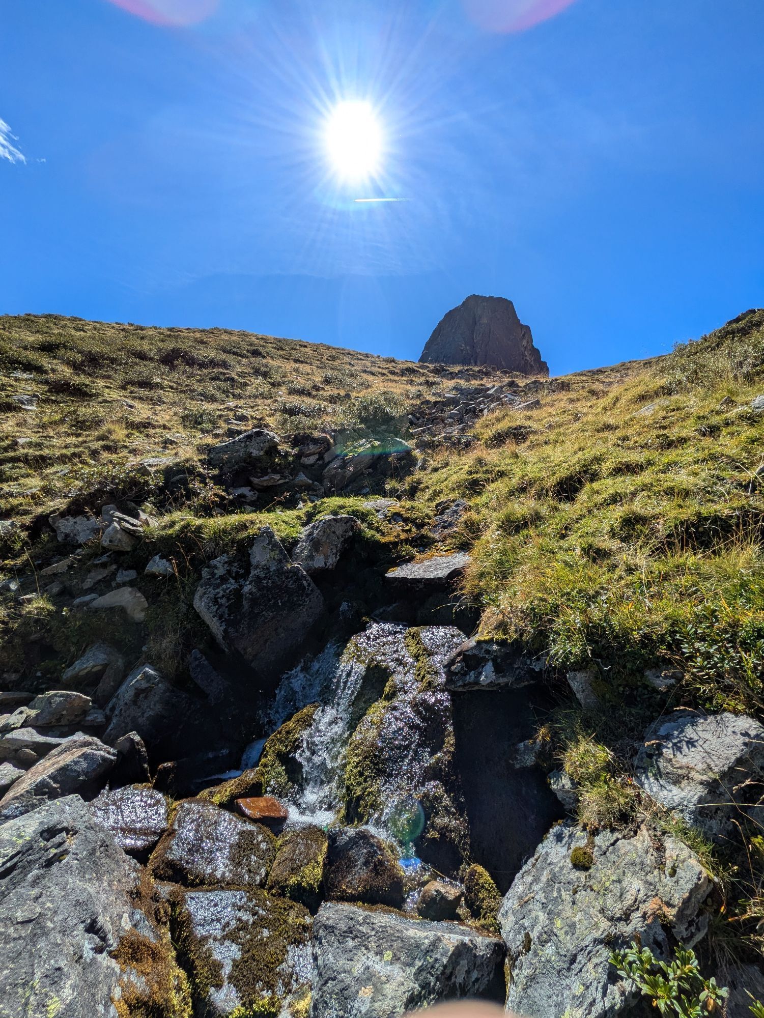
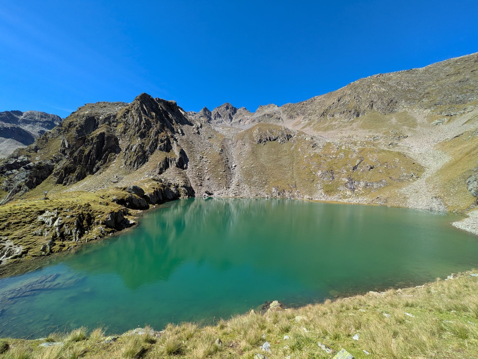
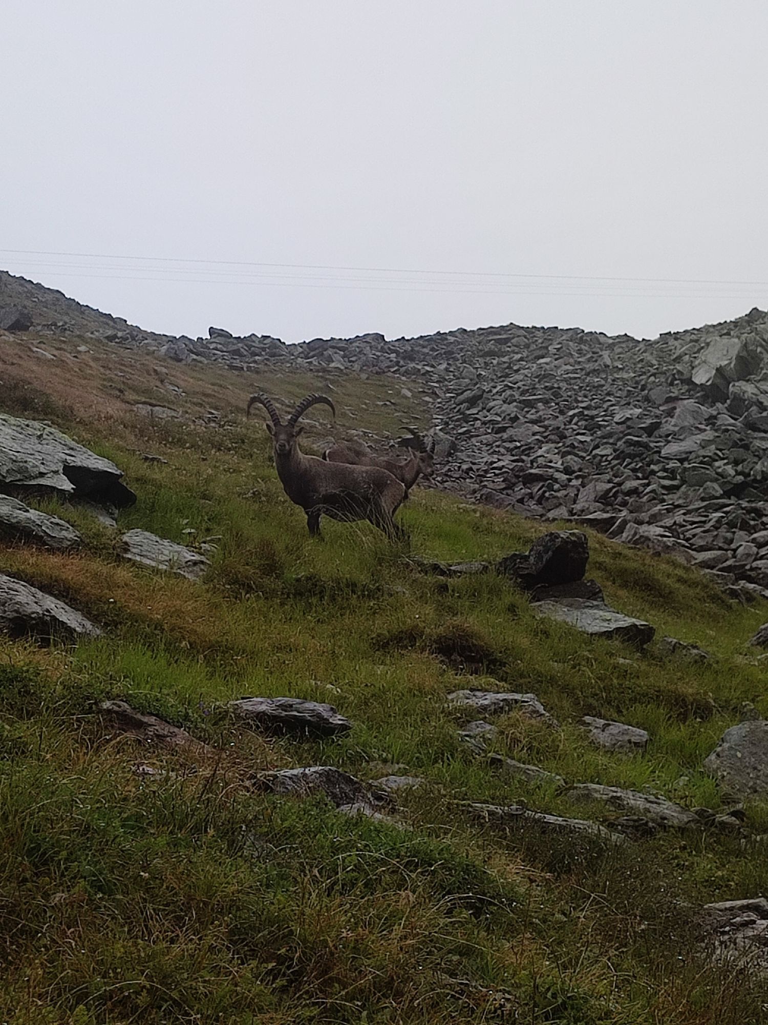
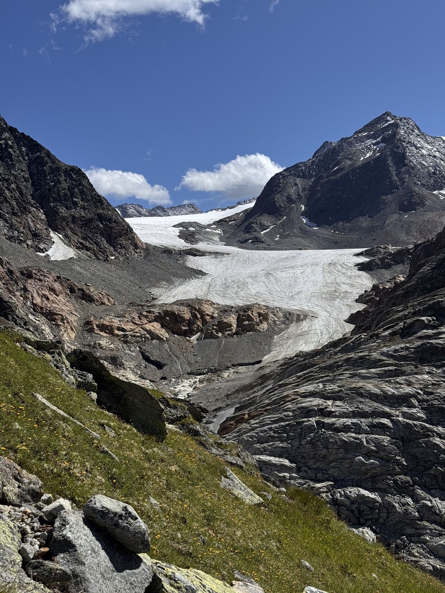
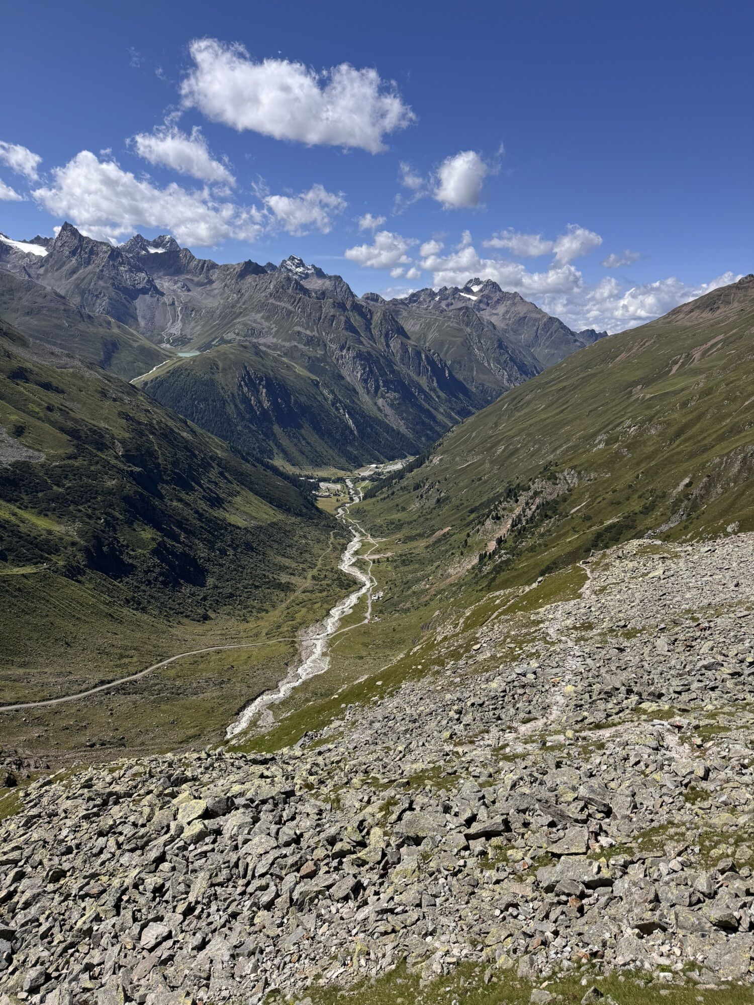
ACROSS GEIGENKAMM – MAINZER HÖHENWEG
Altitude gain: 2,600 m ascent; 3,200 m descent
Distance: 27 km
The Mainzer Höhenweg is a classic for mountaineers. At Geigenkamm, climbing is both traditional and peaceful....
ACROSS GEIGENKAMM – MAINZER HÖHENWEG
Altitude gain: 2,600 m ascent; 3,200 m descent
Distance: 27 km
The Mainzer Höhenweg is a classic for mountaineers. At Geigenkamm, climbing is both traditional and peaceful. Mountaineers can expect demanding, beautiful stages.

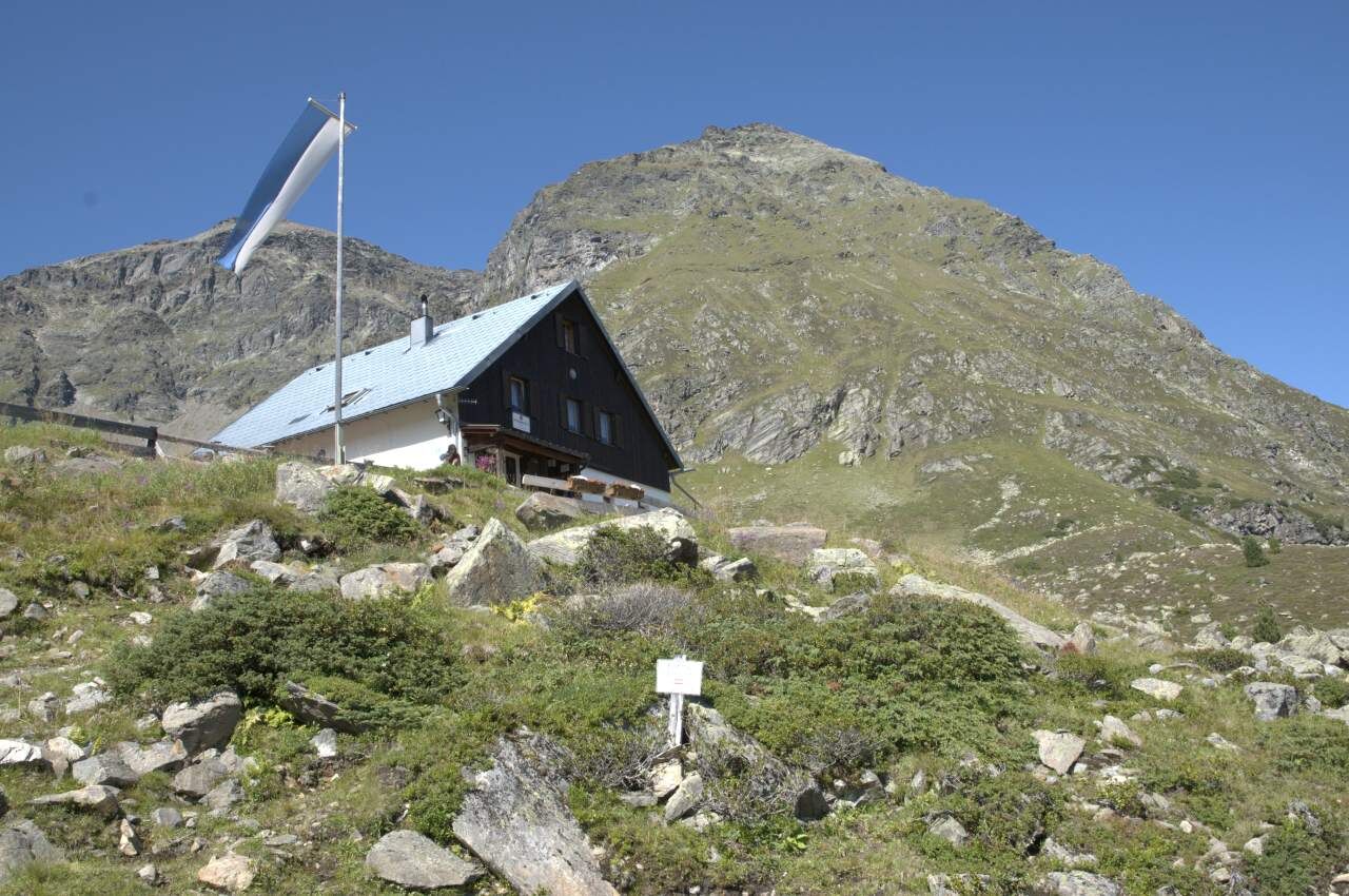

Stage 18:
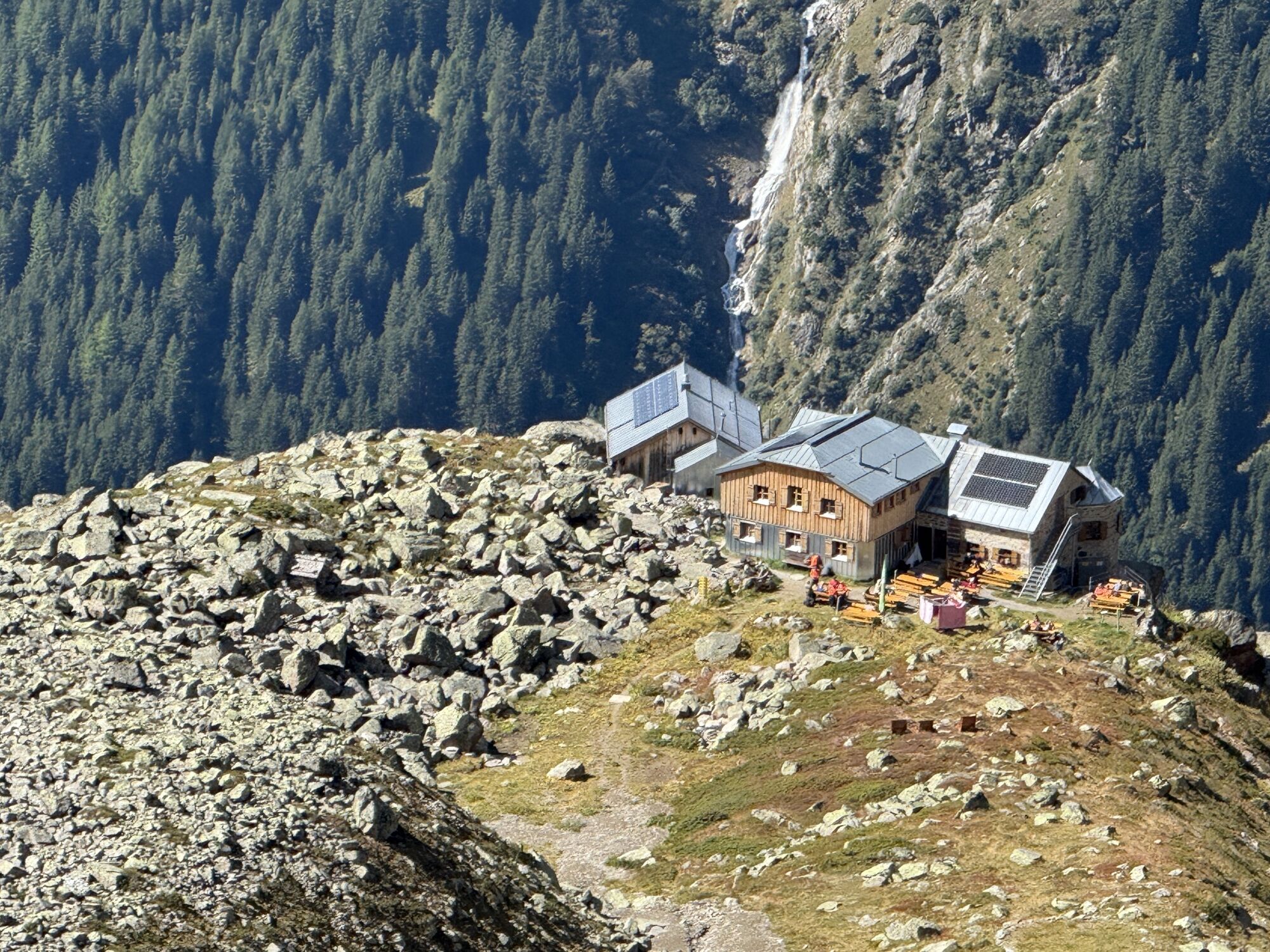
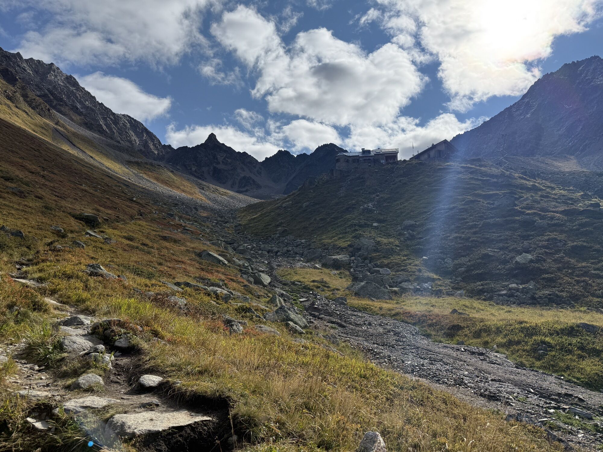
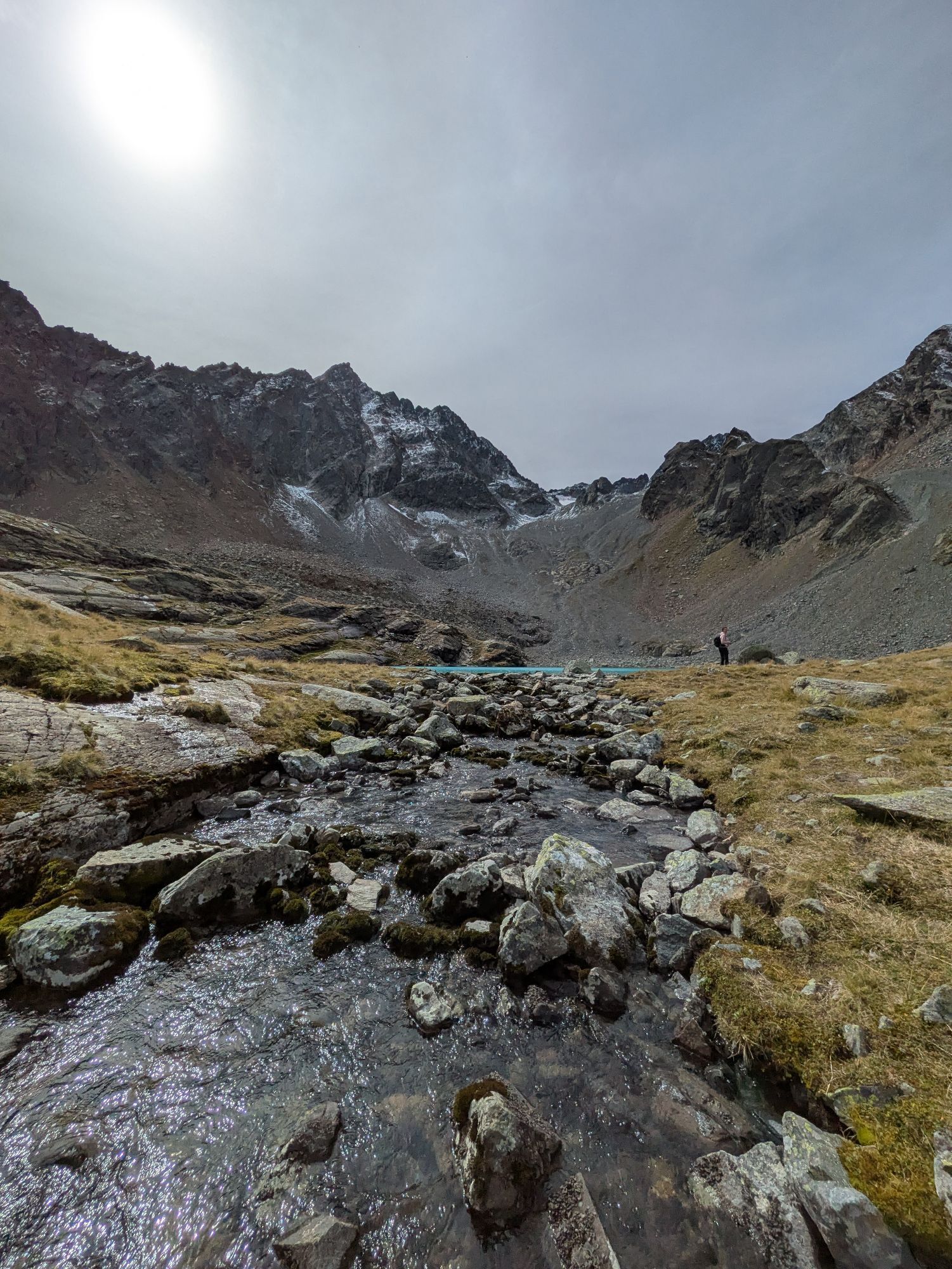
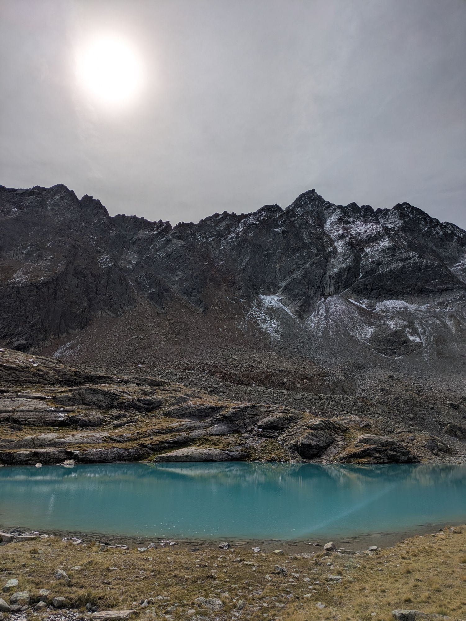
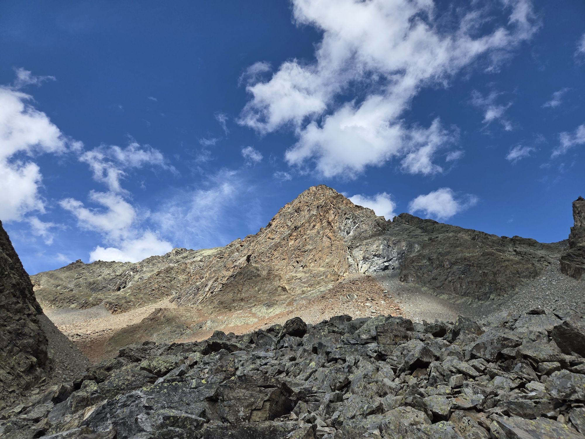
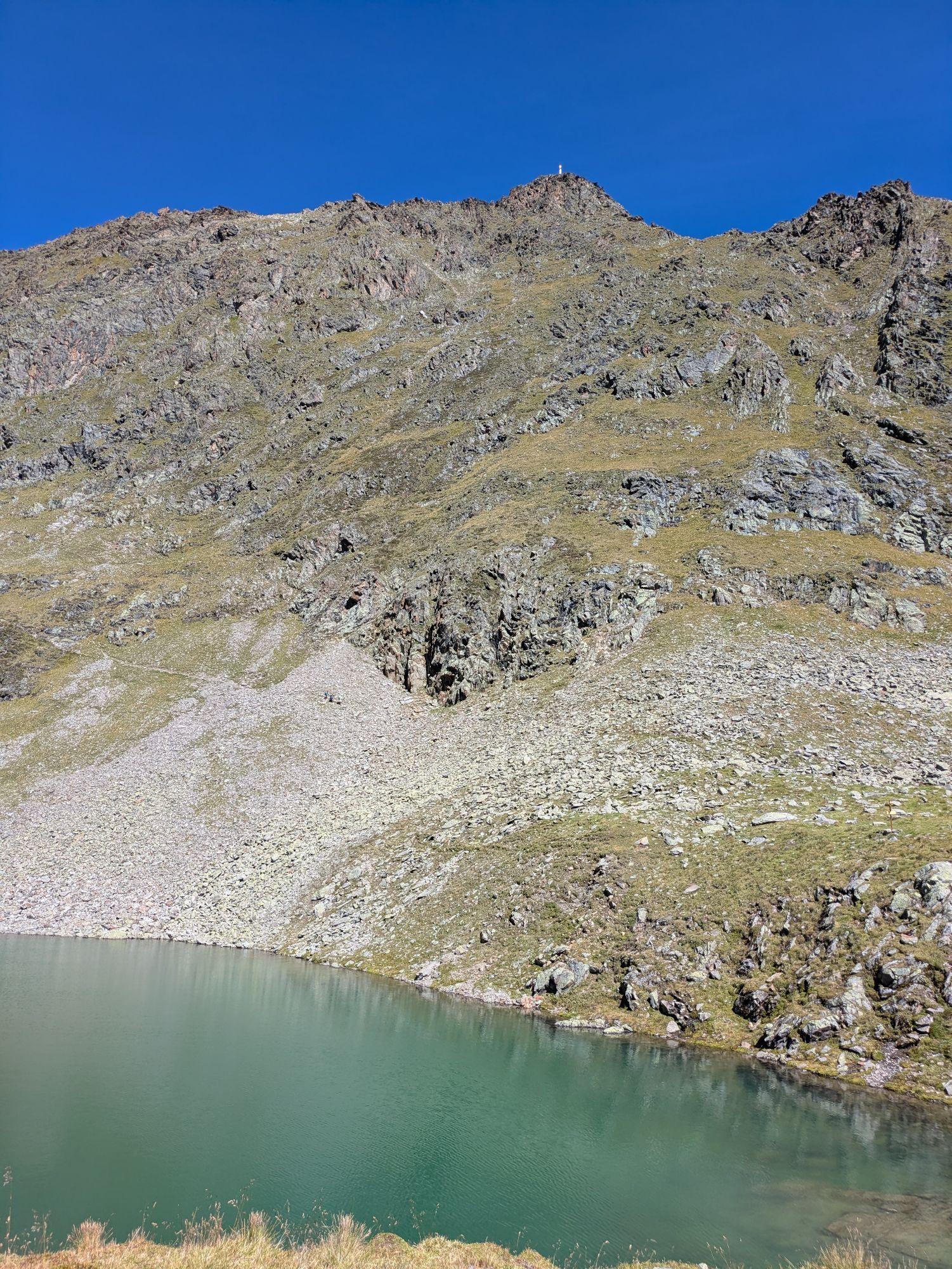
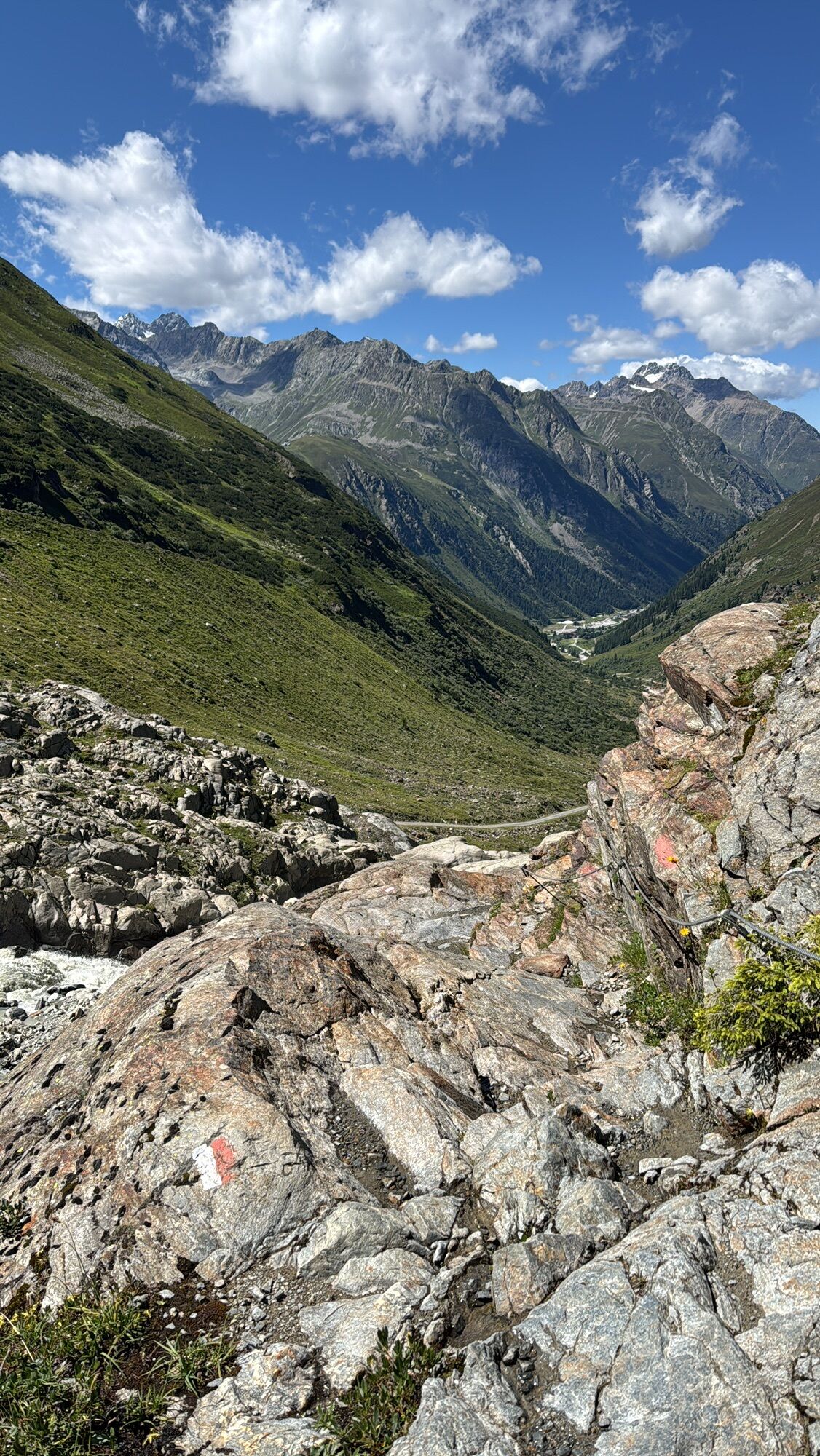
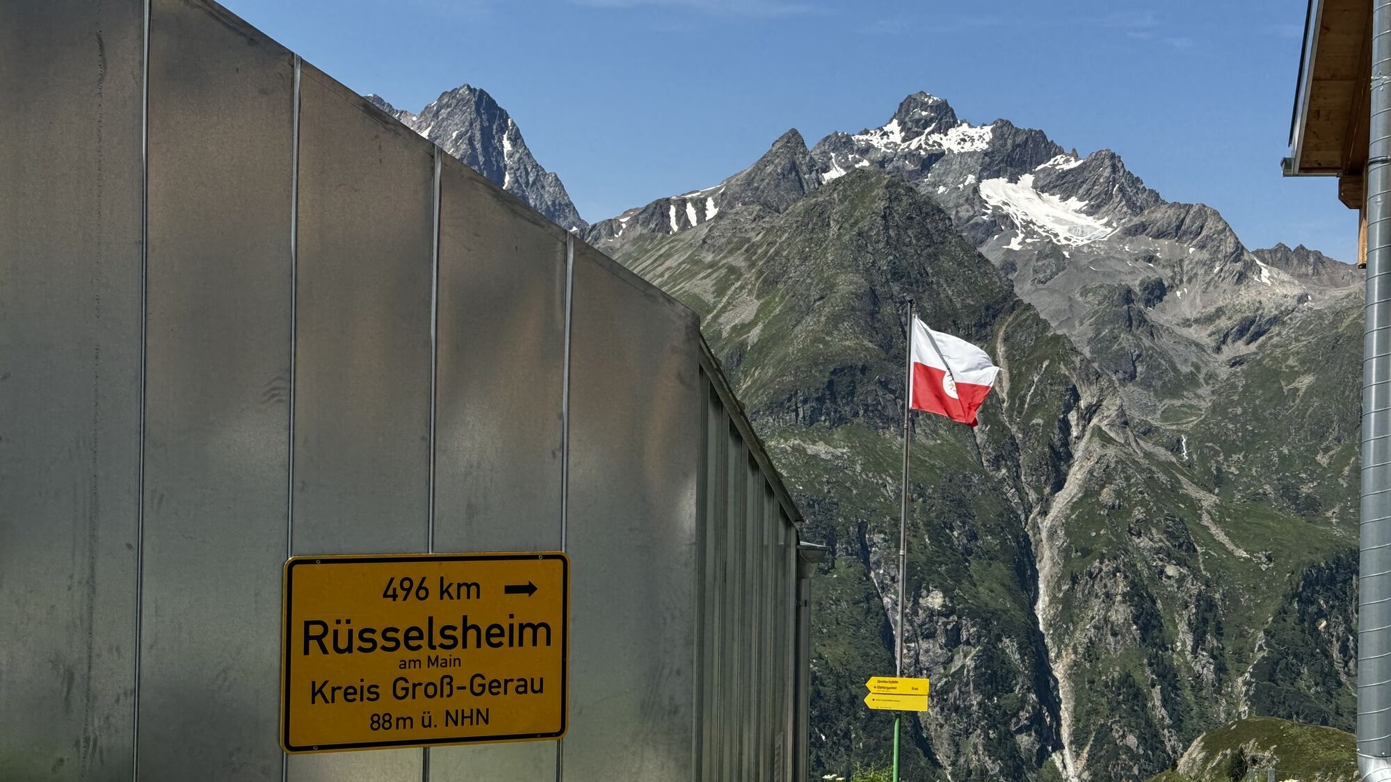
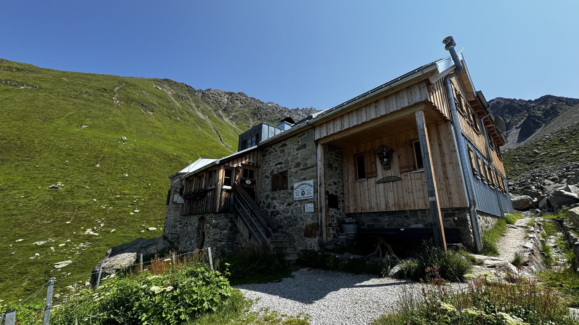
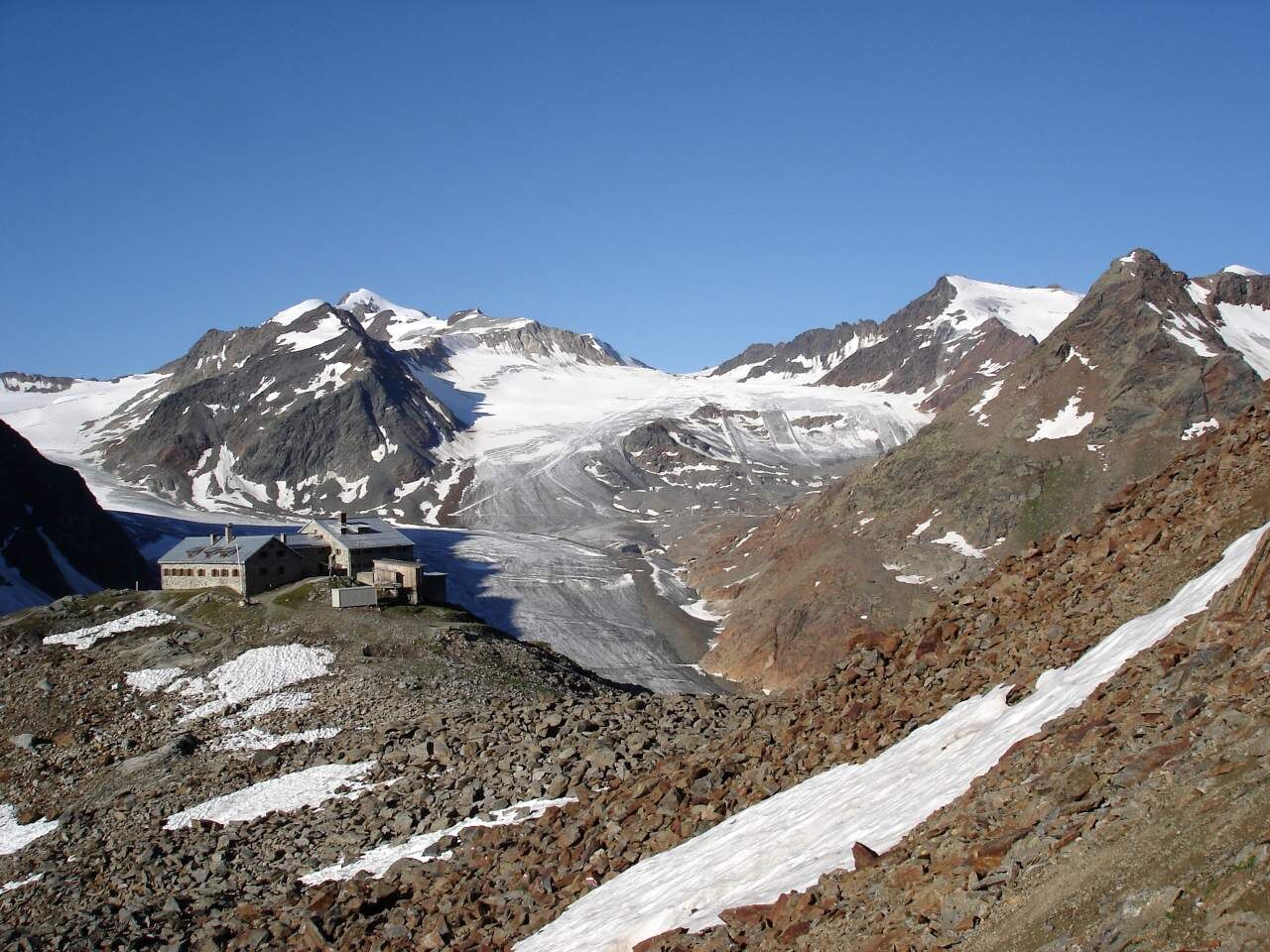
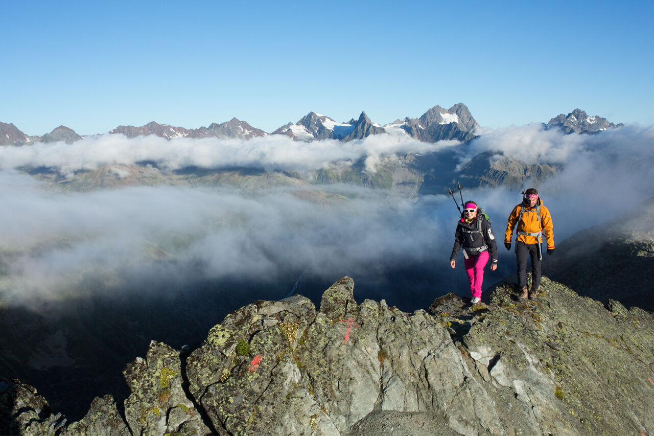
Three peaks over 3000 meters are crossed here on the Geigenkamm, and the route guarantees distant views in all directions. We hike a short way uphill from the Braunschweiger Hut and then follow the route downhill to the left below the Pitztaler Jöchl into the Silbergrube. The route leads to the ridge and runs ascending or descending on or beside the broad ridge crest. The Wurmsitzkogel (3,079 m) and the Gschrappkogel (3,197 m) are the first three-thousanders climbed during the route, followed by the Wassertalkogel (3,252 m). There stands the orange Rheinland-Pfalz bivouac for 12 people (accessible without a key). From the Wassertalkogel, the path descends over a glacier field, then crosses another glacier field, and after a final glacier crossing, a scramble awaits. The path leads to the Weißmaurachjoch, and after hiking down the Weißmaurachkar, we reach the Rüsselsheimer Hut after about 10 hours.
Stage 19:
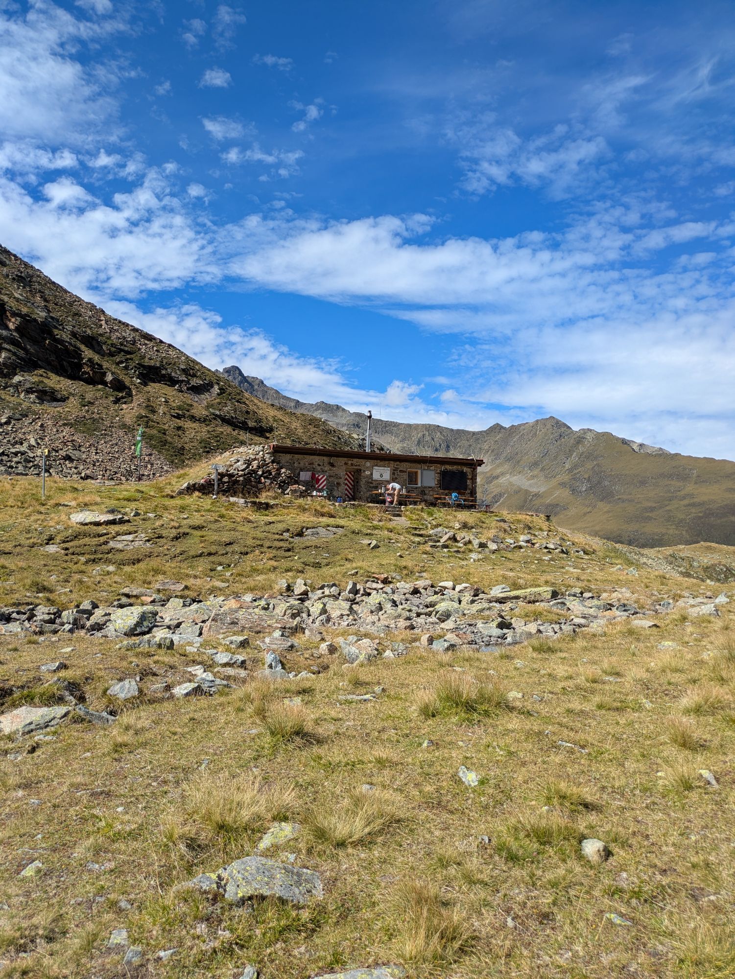
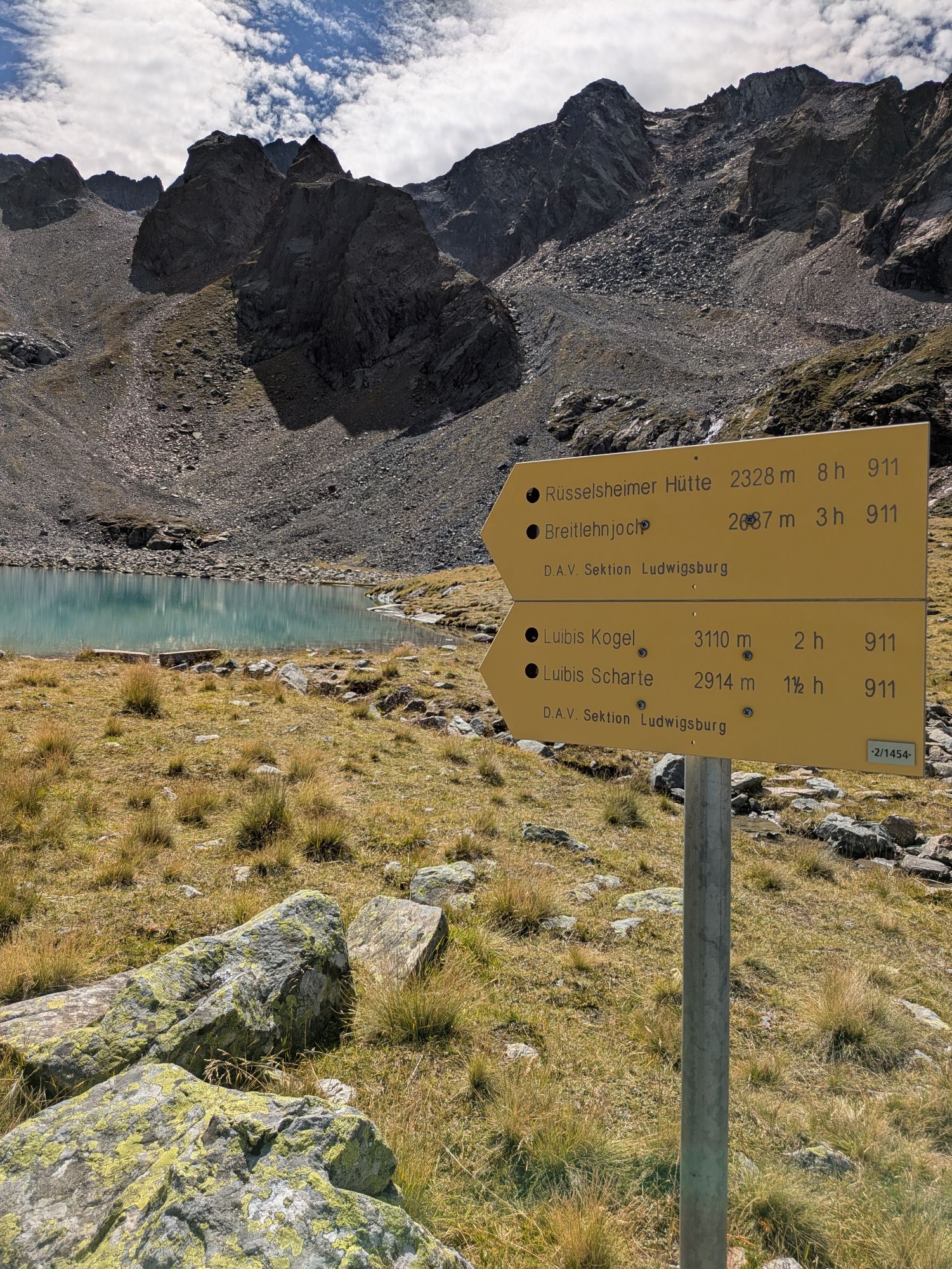
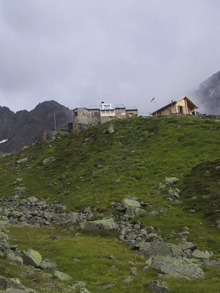
We first follow the trail a short distance east behind the hut, then turn left to the Gahwinden viewpoint. From Gahwinden, we descend through scree into the Rötkarle, through which the trail ascends, continuing to the Kapuzinerjöchl. There, one descends steep terrain secured by a rope. We hike up to the Breitlehnjöchl. From there, the trail leads slightly upwards, then downhill. Finally, the route ascends to the Sandjöchl. At a trail fork begins an extremely strenuous passage– it goes steeply to the Luibisscharte. Soon, one enters the crevasse-free Hauerferner glacier. A footbridge also leads down on the right side of the glacier field! It is crossed in its shallow upper part heading east. Due to rockfall, the further path between the glacier and the Hauersee Hut is officially closed; an alternative route leads along the glacier to the northeast and then descends to the right of a rock summit to the Hauersee Hut after the glacier passage.
Stage 20:
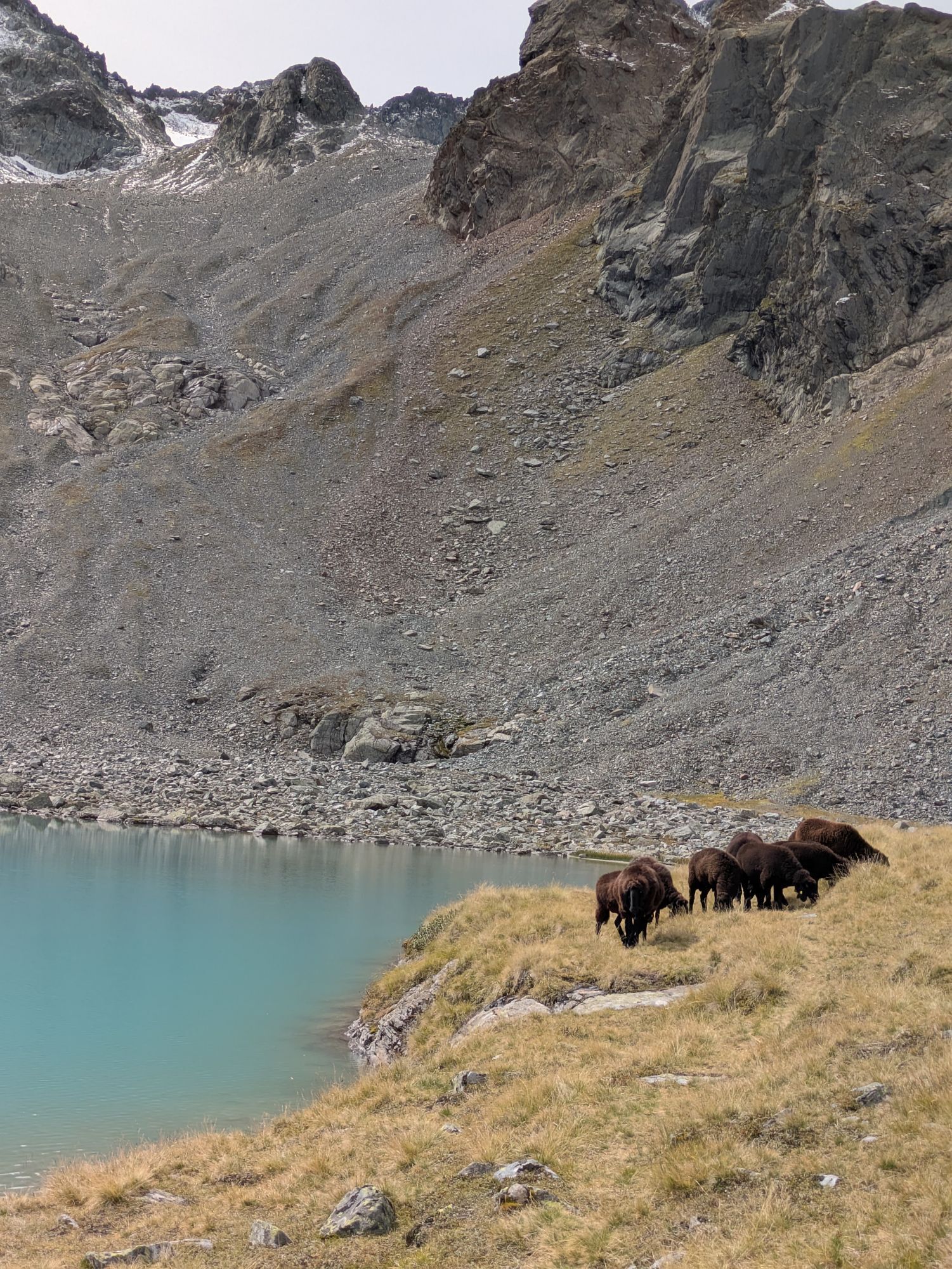
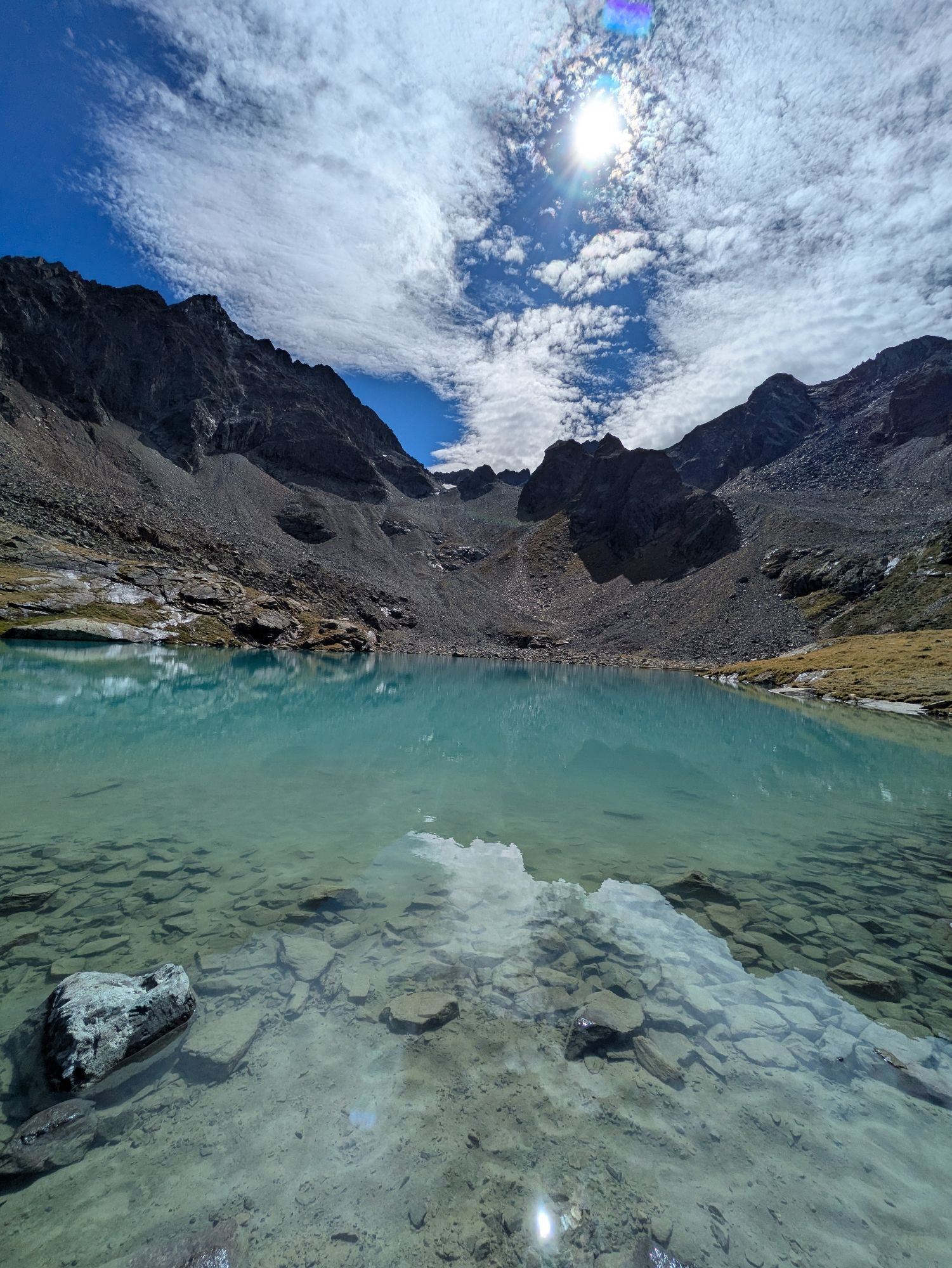
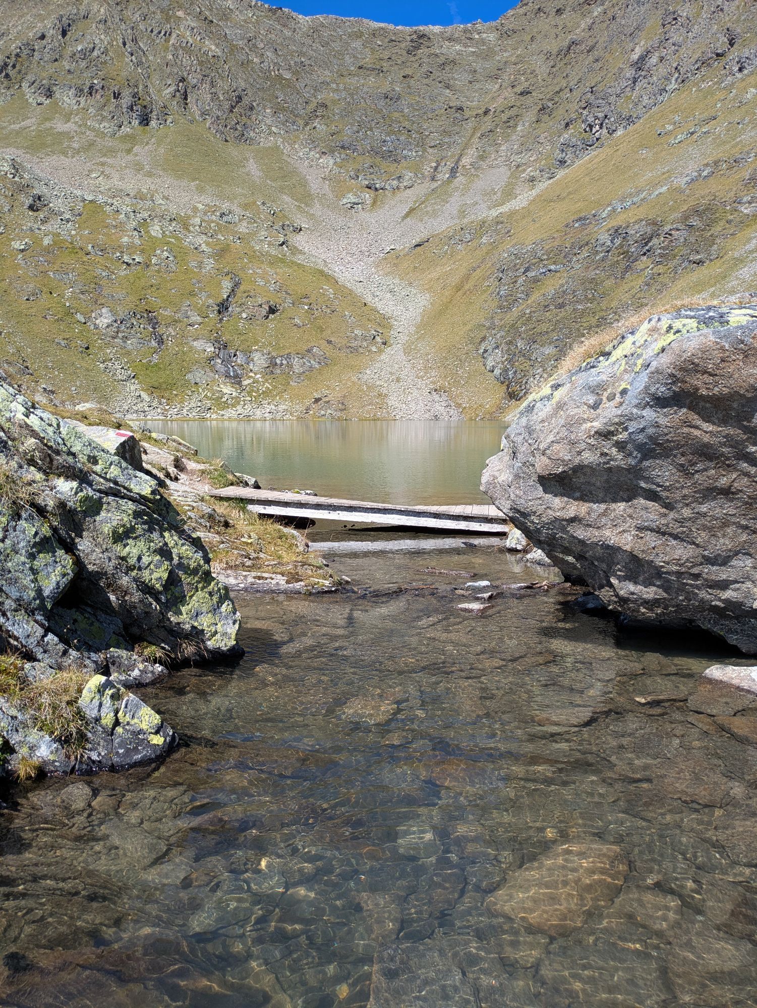
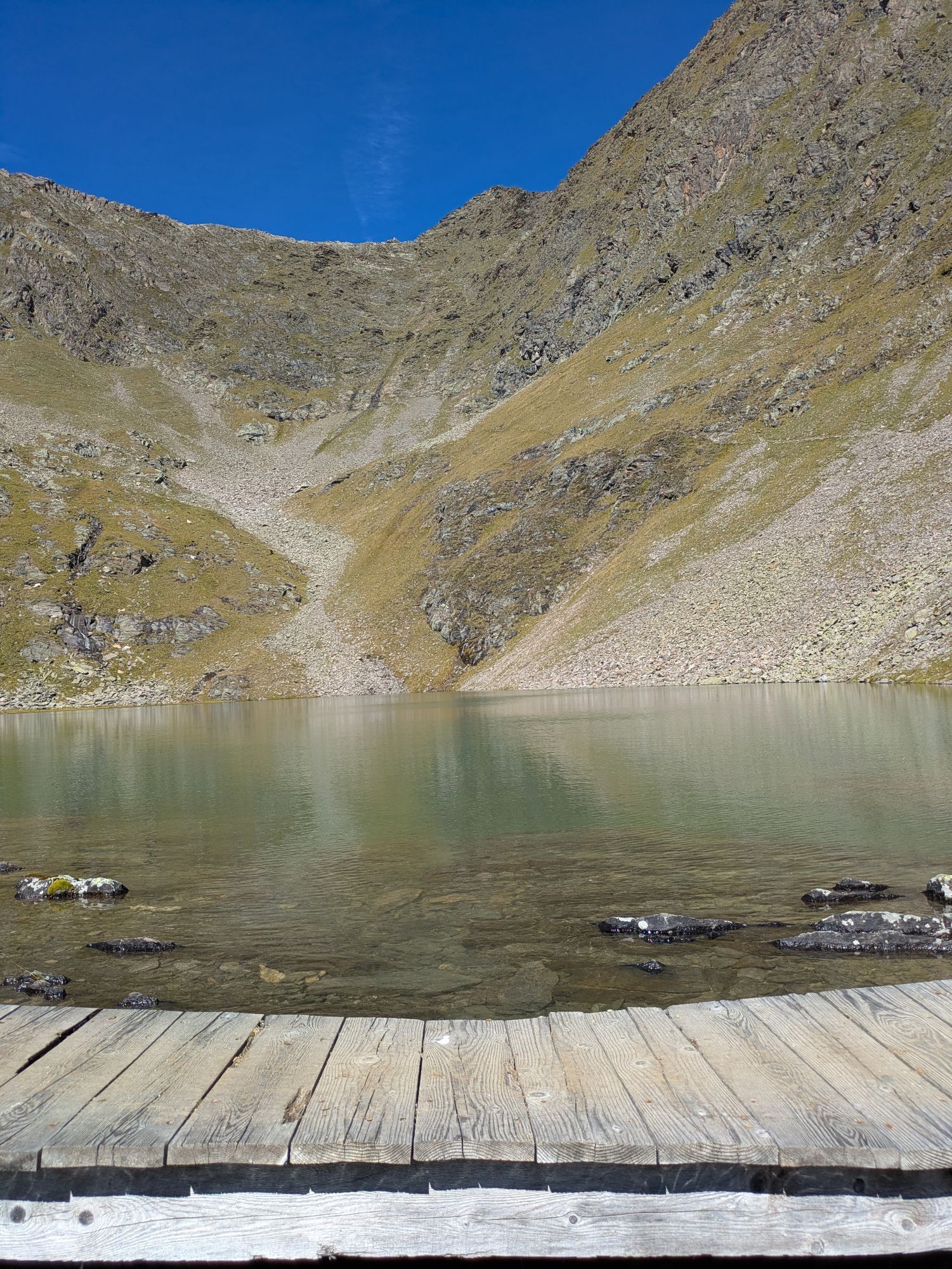
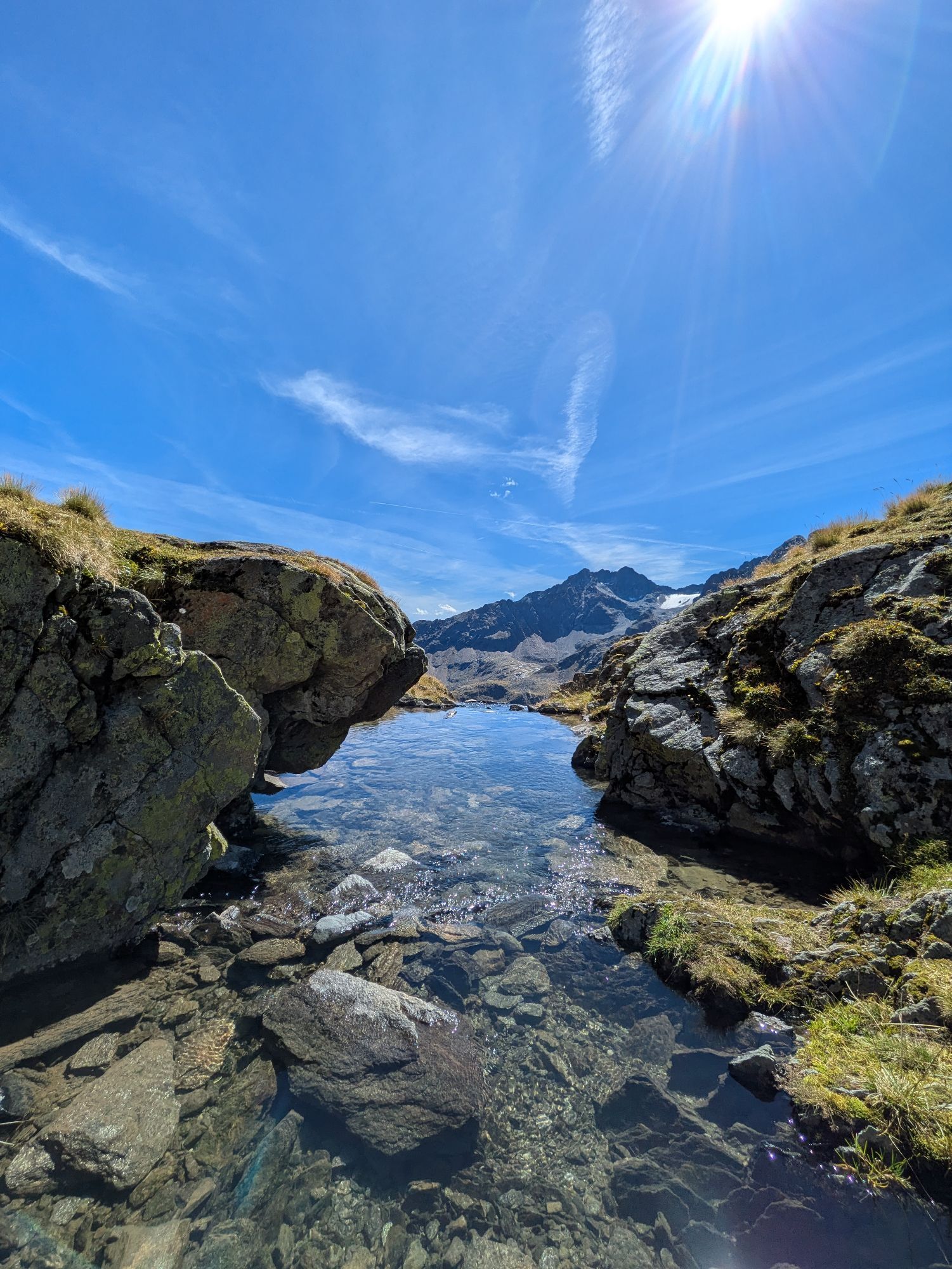
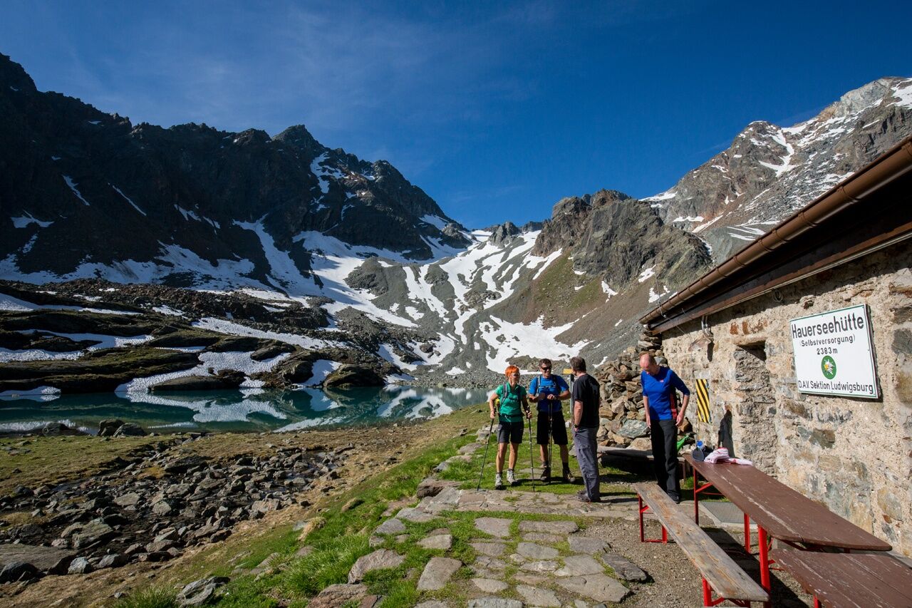
The first mountain lake is already at the starting point and has given the small Hauersee Hut its name. We first descend gently past the Lower Spitzigsee. Then the rear Innerbergtal is walked down northwest. The trail runs on the slopes above the Felderkar. Then, some effort is required: In switchbacks, the route ascends to the Weißer See below the nearly 2,800 m high Felderjöchl, which forms the barrier to the Frischmann Hut. One passes the lake on the right, then the secured trail soon winds in rocky, very steep terrain and again in switchbacks uphill to the Felderjöchl. Beyond, one descends quite steeply at first and then comfortably crosses the Fernerkar beneath the Ploderferner glacier. Later, the route generally leads down quickly to the east below the Griesköpfen. The last meters finally lead across alpine pastures to the Frischmann Hut.
Appropriate equipment such as breathable and weather-appropriate outdoor clothing is required for all hikes and routes. Carrying a first aid kit, a mobile phone, and possibly a hiking map, as well as sufficient provisions for hikes without the possibility of a stop, is necessary.
Suitable for those free from dizziness, surefooted, and alpine experienced mountaineers; very good physical condition, alpine experience, and mountain equipment (see equipment section), sometimes alpine safety gear, good weather conditions recommended. Please observe the current weather report.
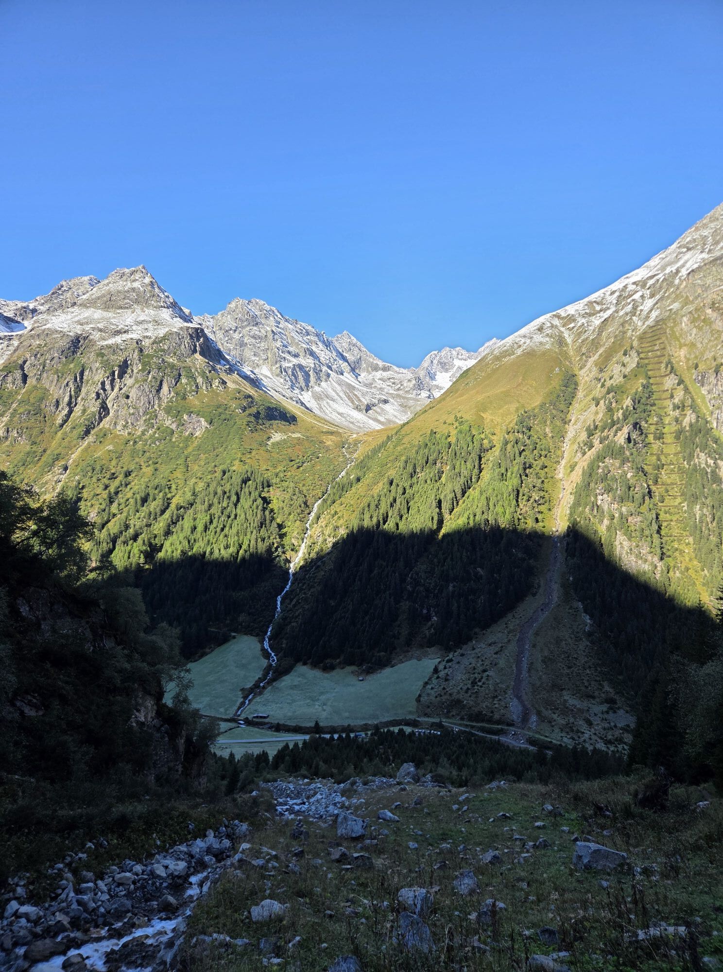
Driving into the ÖTZTAL. Located in Tyrol, the ÖTZTAL branches southwards as the longest side valley of the Eastern Alps. Traveling by car takes visitors through the Inn valley to the valley entrance and further along the Ötztal. In addition to the toll highway, country roads can also be used. Your route can be quickly and conveniently planned with the route planner: To the route planner: https://www.google.at/maps
Travel comfortably and safely by train to the Ötztal station. The final stop or exit point is ÖTZTAL station. Afterwards, you can conveniently and quickly reach your destination within the valley by public transport or local taxi services.
The current bus schedule is available at: http://fahrplan.vvt.at
The following parking options are available in Sölden:
- Postplatz parking lot
- Stiegele parking lot
- Tiered parking lot
- Giggijochbahn + underground car park
- Gaislachkoglbahn + underground car park
- Hochsölden parking lot
- Hochsölden underground parking deck 1
- Zwieselstein parking lot
- Zwieselstein/Sports field parking lot
Parking lots in Sölden are subject to charges.
For parking for several days (e.g. hut tours):
- Gaislachkoglbahn underground garage, parking ticket either online or directly at the Gaislachkoglbahn ticket office
T6
Access – from the Rettenbach glacier over Rettenbachjoch to the Braunschweiger Hut (approx. 1.75 h approach); Glacier bus line Sölden – Rettenbach glacier
More information about hiking in the Ötztal: www.oetztal.com/wandern
Získejte přehled Vždy živě na místě s více než 9 500 webkamerami. bergfex Jako uživatel Pro si nyní můžete zobrazit odpovídající webové kamery pro mnoho prohlídek v aplikaci prohlídky z. Můžete si tak přímo prohlédnout aktuální podmínky. Oblíbené prohlídky v okolí
- 4.6
Winnebachsee Hut – Längenfeld/Gries
středníTuristika 4.74 km - 4.7
Winter circular route Brandalm/Burgstein - Längenfeld 204
středníZimní turistika 5.44 km - 4.4
Rundwanderung Hängebrück3
světloTuristika 6.32 km - 4.3
Amberger Hut - Längenfeld/Gries
středníTuristika 5.60 km - 3.1
Tiefenbachglacier - Mountaineering Village Vent
středníTuristika 10.8 km - 4.6
Umhausen - Stuibenfall - Umhausen
středníTuristika 7.94 km - 5.0
Hoher Seeblaskogel 3235m - Längenfeld/Gries
heavyTuristika 8.38 km - 4.1
Hohe Geige über Gawinden und den Westgrat
heavyTuristika 14.3 km - 5.0
Nissl Alm - Längenfeld/Gries
světloTuristika 5.17 km - 4.6
Falkaunsjoch / Kuglerte Seen
středníTuristika 16.2 km
Pěší turistika a stopování


Nenechte si ujít nabídky a inspiraci pro vaši příští dovolenou
Vaše e-mailová adresa byl přidán do poštovního seznamu.





