


Kaiserkrone - alternative route via the Jagersteig
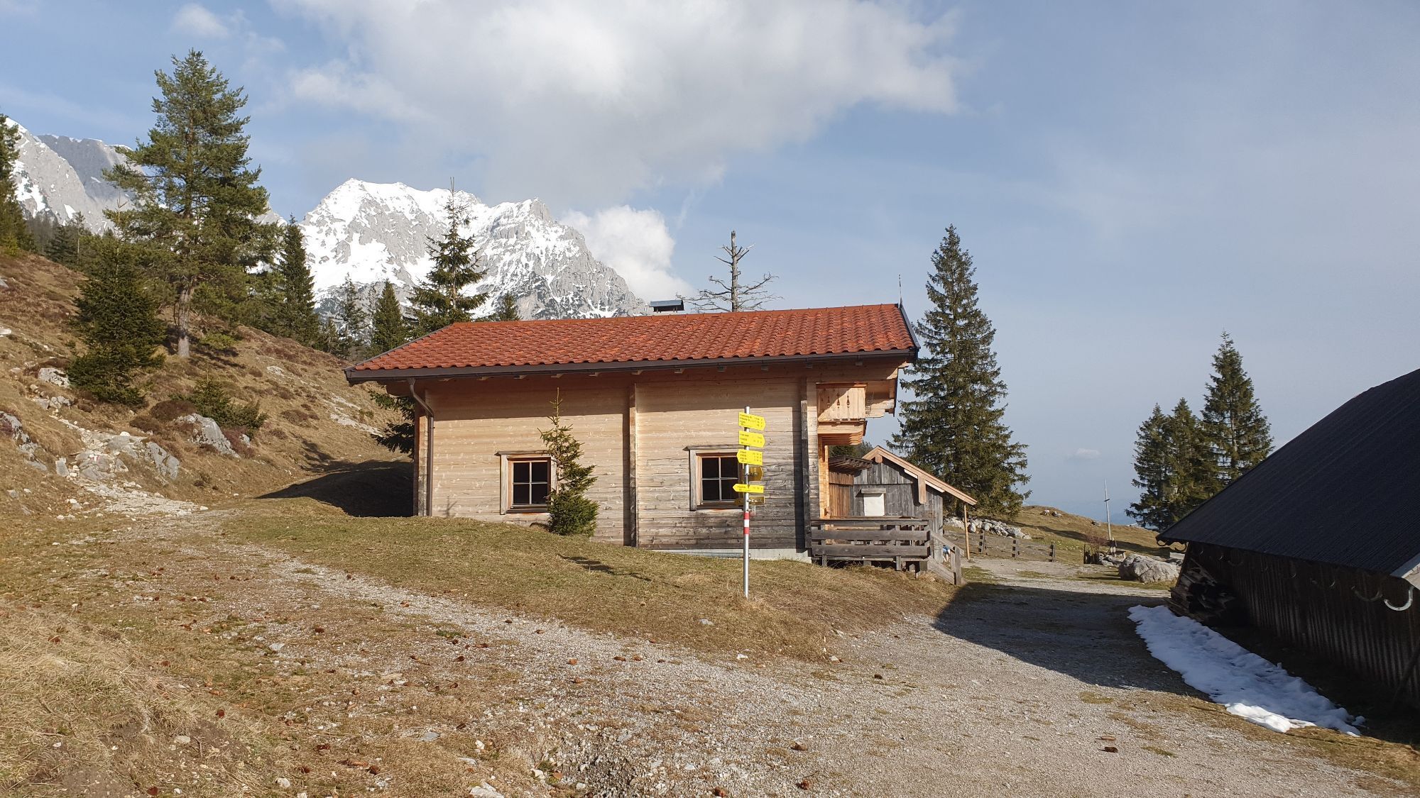
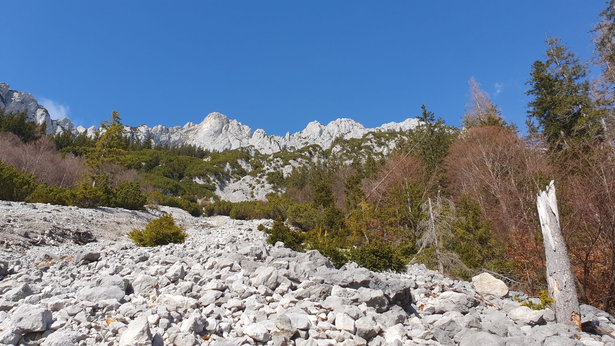
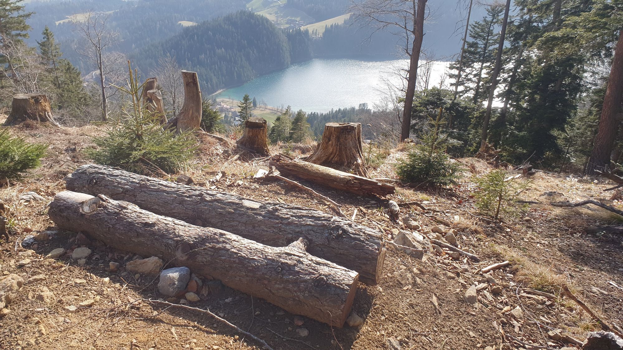
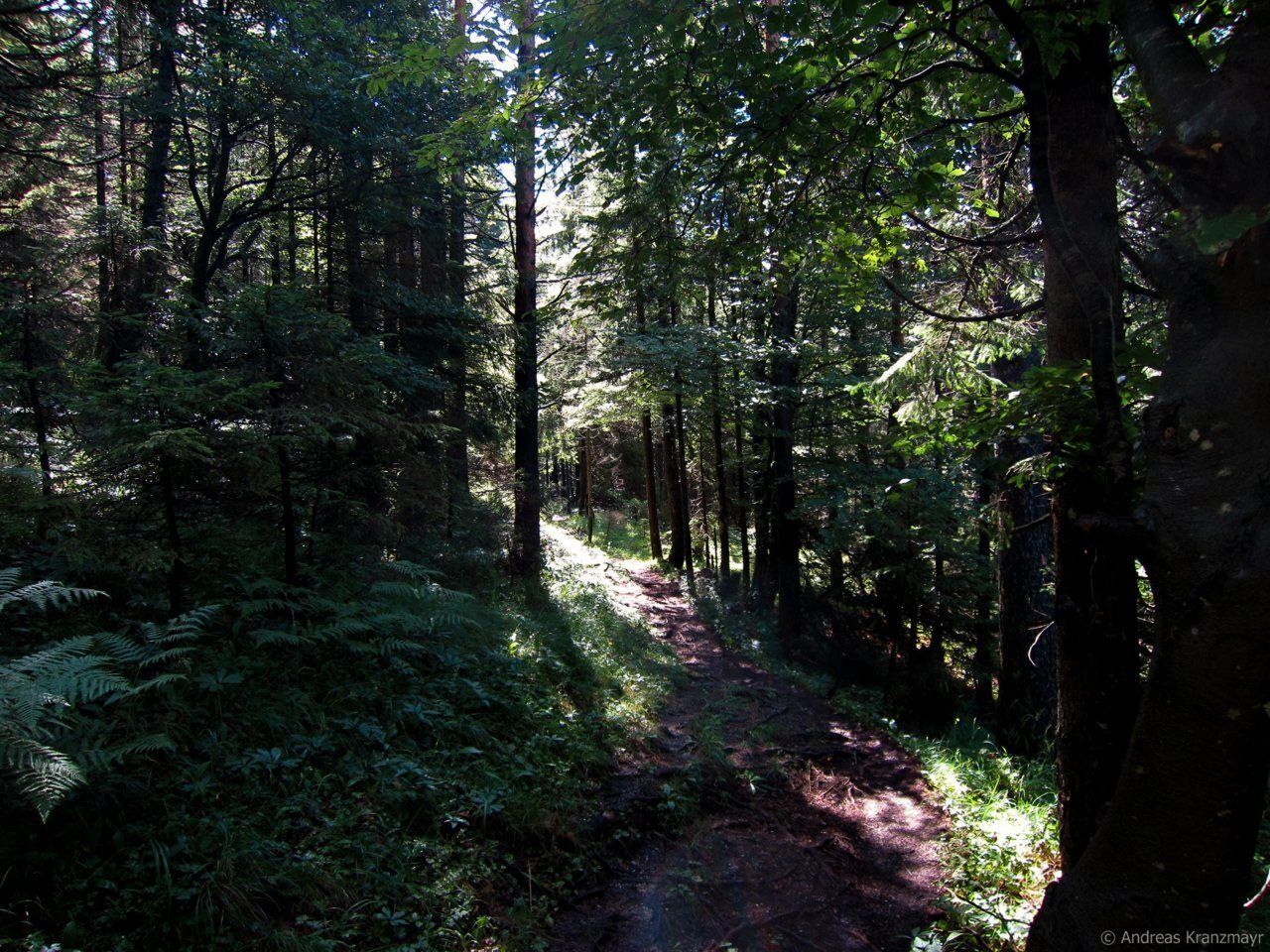
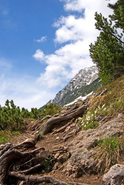
From the Steiner-Hochalm mountain hut, hike along Wilder-Kaiser-Steig trail 823 (also known as the Jagersteig) through the forest, across clearings and directly beneath the rock faces in certain places....
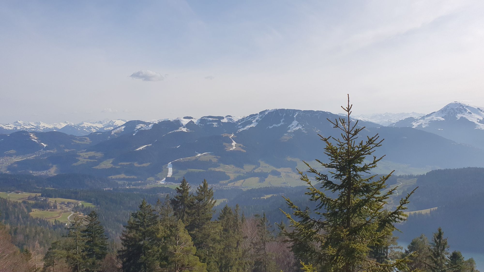
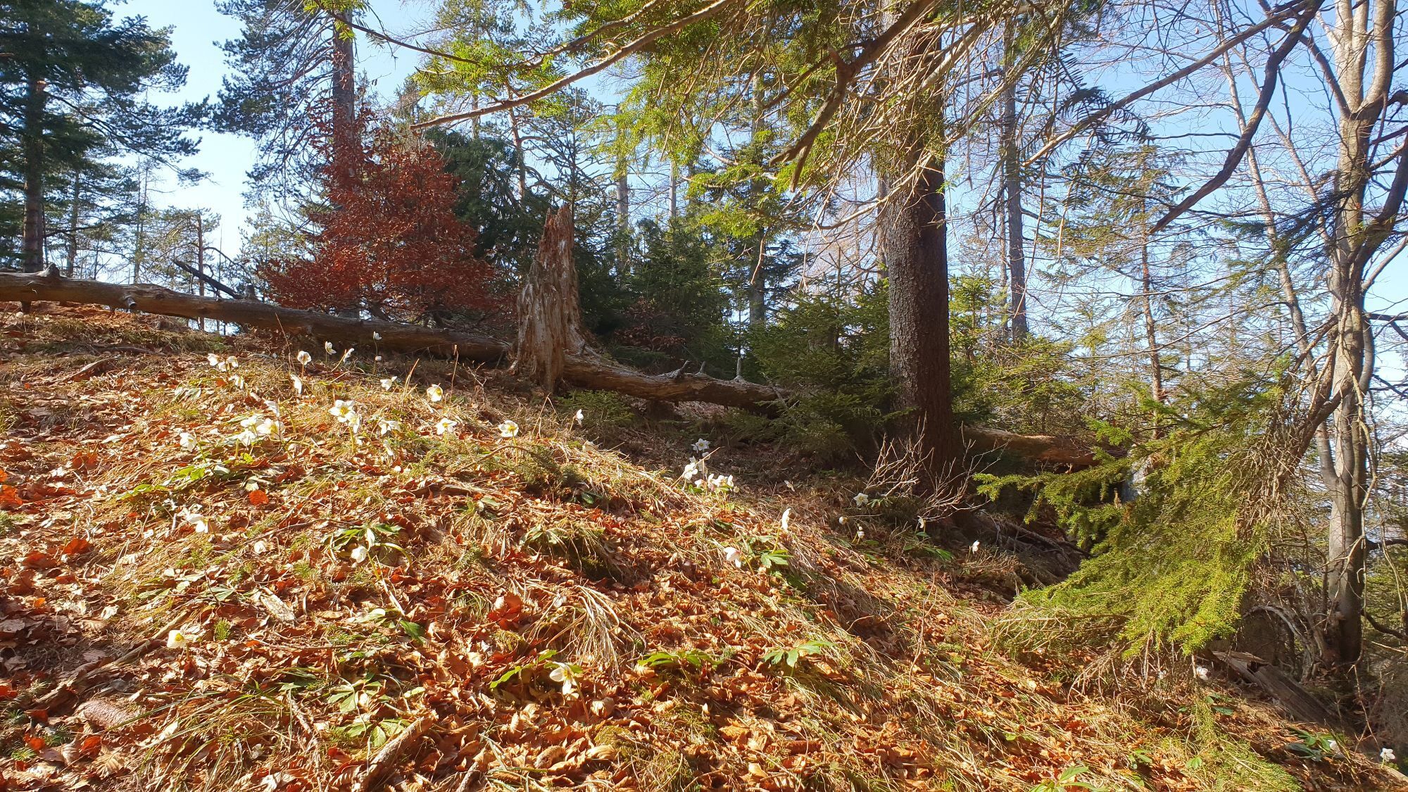
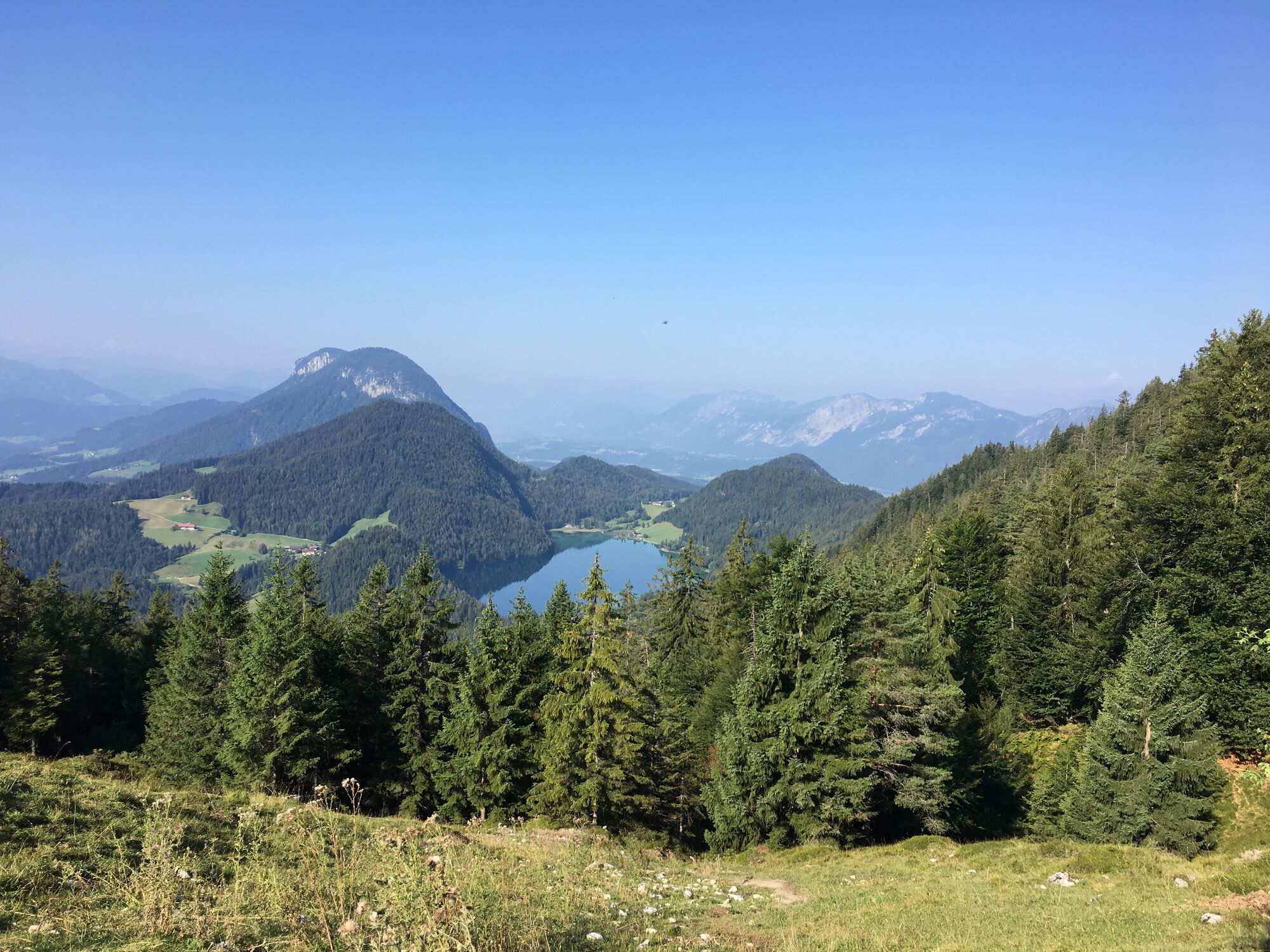
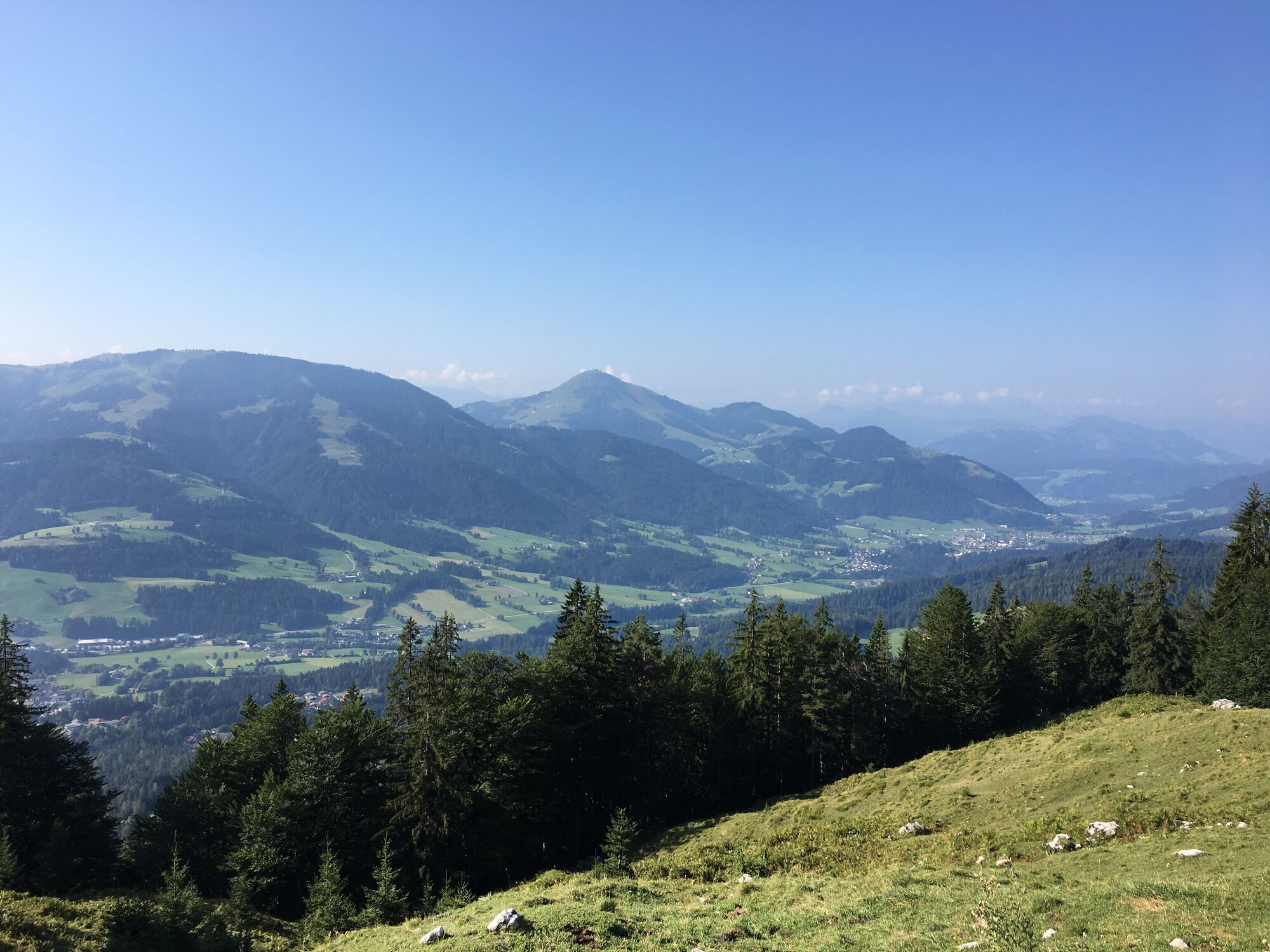
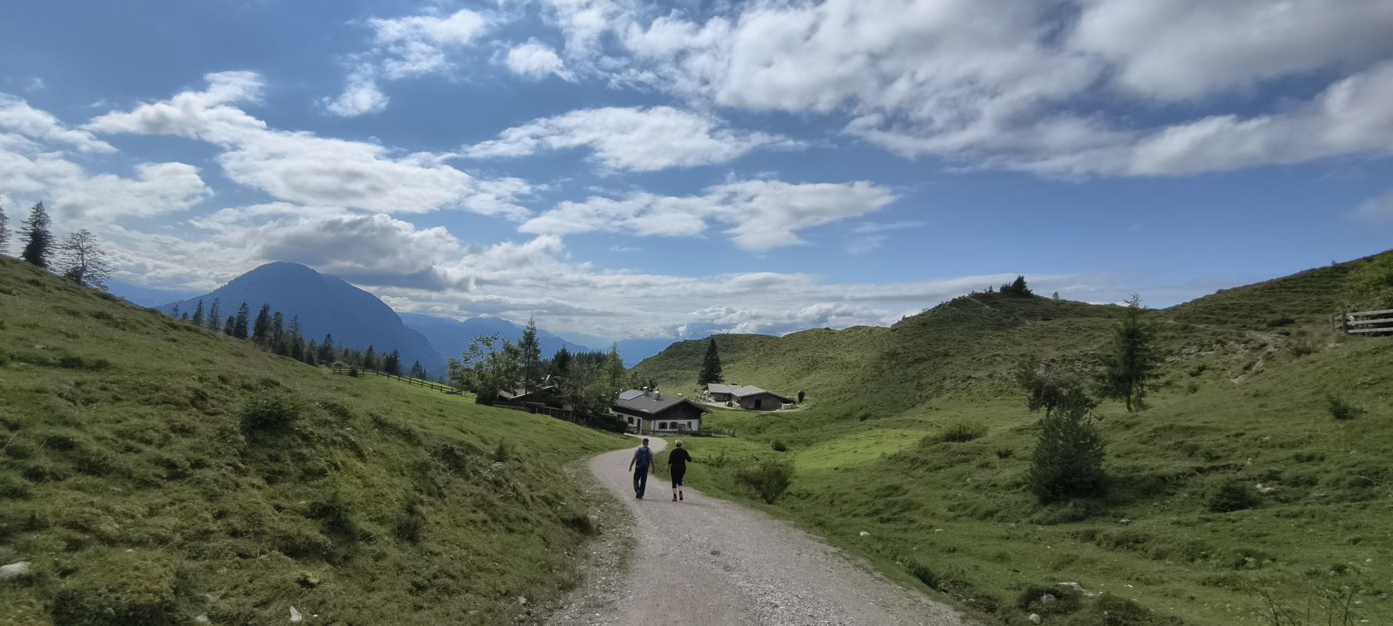
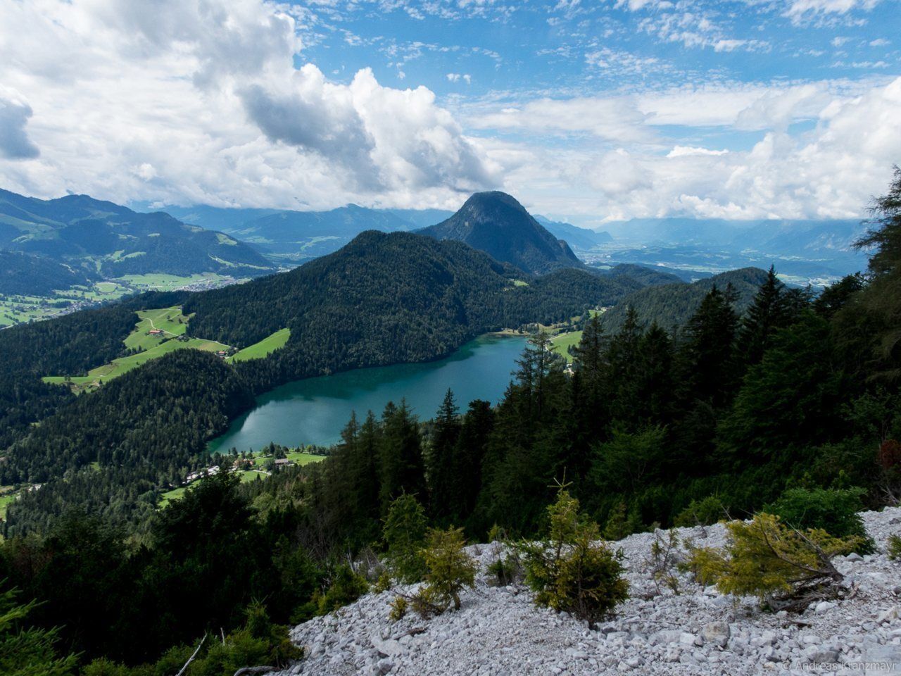
From the Steiner-Hochalm mountain hut, hike along Wilder-Kaiser-Steig trail 823 (also known as the Jagersteig) through the forest, across clearings and directly beneath the rock faces in certain places. This route continuously heads in a westerly direction, offering tremendous viewing points over the Hintersteiner See lake and leading you to the high plateau of the Walleralm Alpine pasture.
Requirements: surefootedness
Requirements: surefootedness
Wilder Kaiser hiking map (1:25.000) available at the Tourist information offices Ellmau, Going, Scheffau and Söll for € 6,90 - with Wilder Kaiser Guest Card for € 6, -.
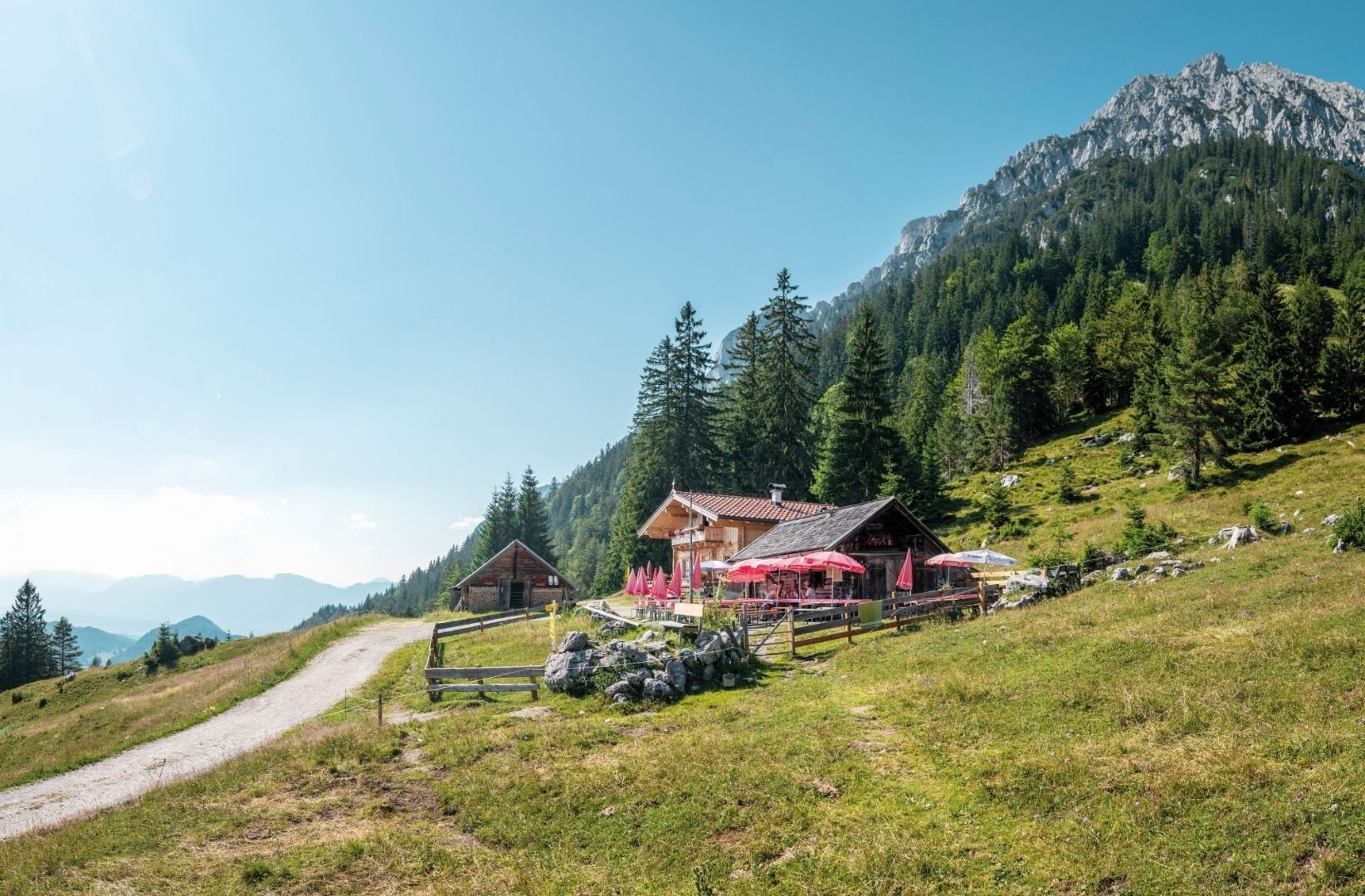
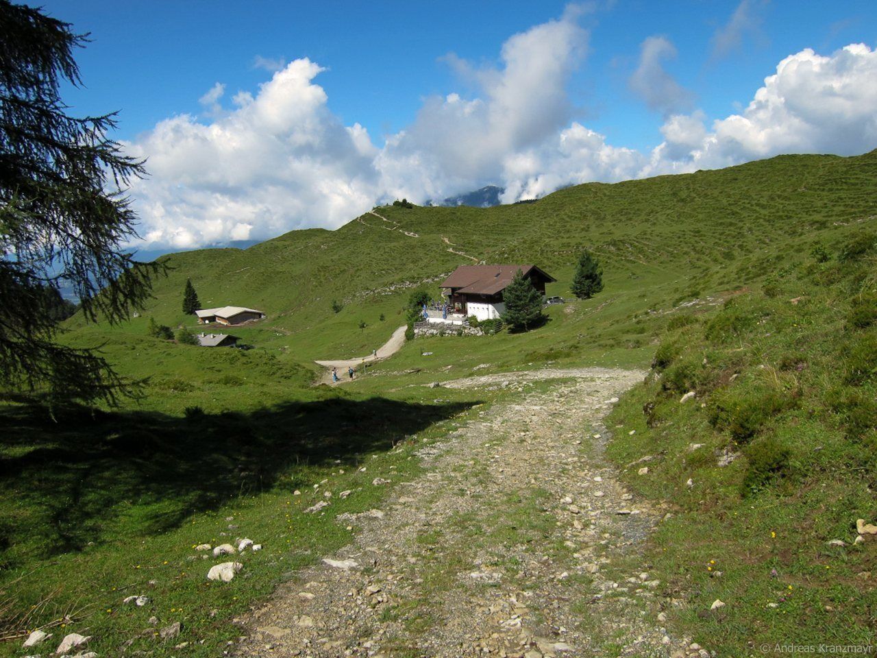
Additions for overnight stay at mountain hut:
Mountain hut sleeping bag, indoor shoes, toiletries and towel, personal medication, headlamp, Alpine Club ID Card, cash, charger for mobile phone
The hiking routes between the huts are often rather long, we recommend taking plenty of food and drink and booking your overnight stays well in advance.
Requirements: surefootedness

Oblíbené prohlídky v okolí
- 4,7
Musikantensteig zur Naunspitze
středníTuristika 8,96 km - 4,5
Über Hintersteinersee und Walleralm aufs Hochegg
světloTuristika 12,2 km - 4,5
Wanderung um den Hintersteinersee
světloTuristika 5,29 km - 4,6
Hintersteinersee
středníTuristika 9,87 km - 5,0
Stripsenjoch Klettersteige/ Rundwanderung von Griesener Alm über Stripsenjochhaus und Feldberg
středníVia ferrata 10,2 km - 4,9
Route 209: Brechhornhaus-Choralpe
heavyMountainbike 24,4 km - 4,2
Bergdoktor Wohnhaus "Gruberhof" (Köpfing Hof) Rundeweg-Söll
světloTuristika 8,70 km - 5,0
Kirchdorf: Stripsenjoch Klettersteige
heavyVia ferrata 3,76 km - 4,5
Pyramidenspitze, Vordere Kesselschneid
heavyTuristika 12,8 km - 4,9
Ellmauer Tor (22.07.2020)
středníTuristika 9,32 km
Pěší turistika a stopování


Nenechte si ujít nabídky a inspiraci pro vaši příští dovolenou
Vaše e-mailová adresa byl přidán do poštovního seznamu.