





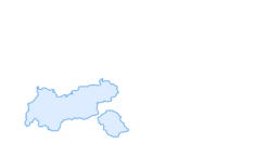

2-days through the Kaiser Mountains


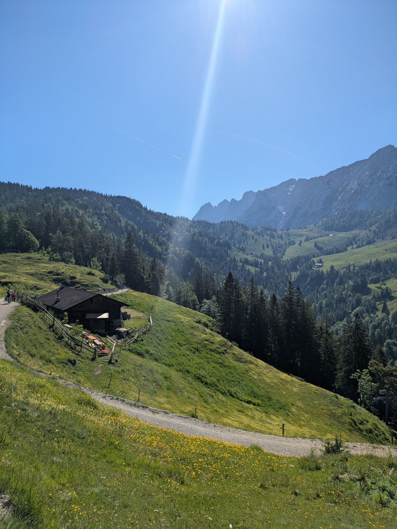
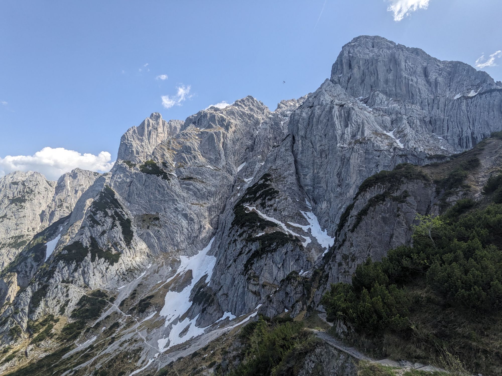
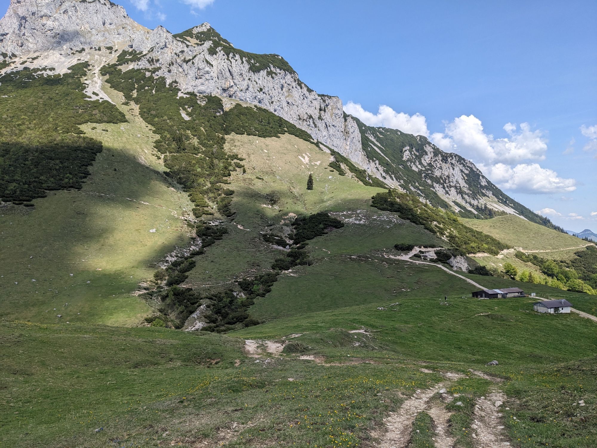
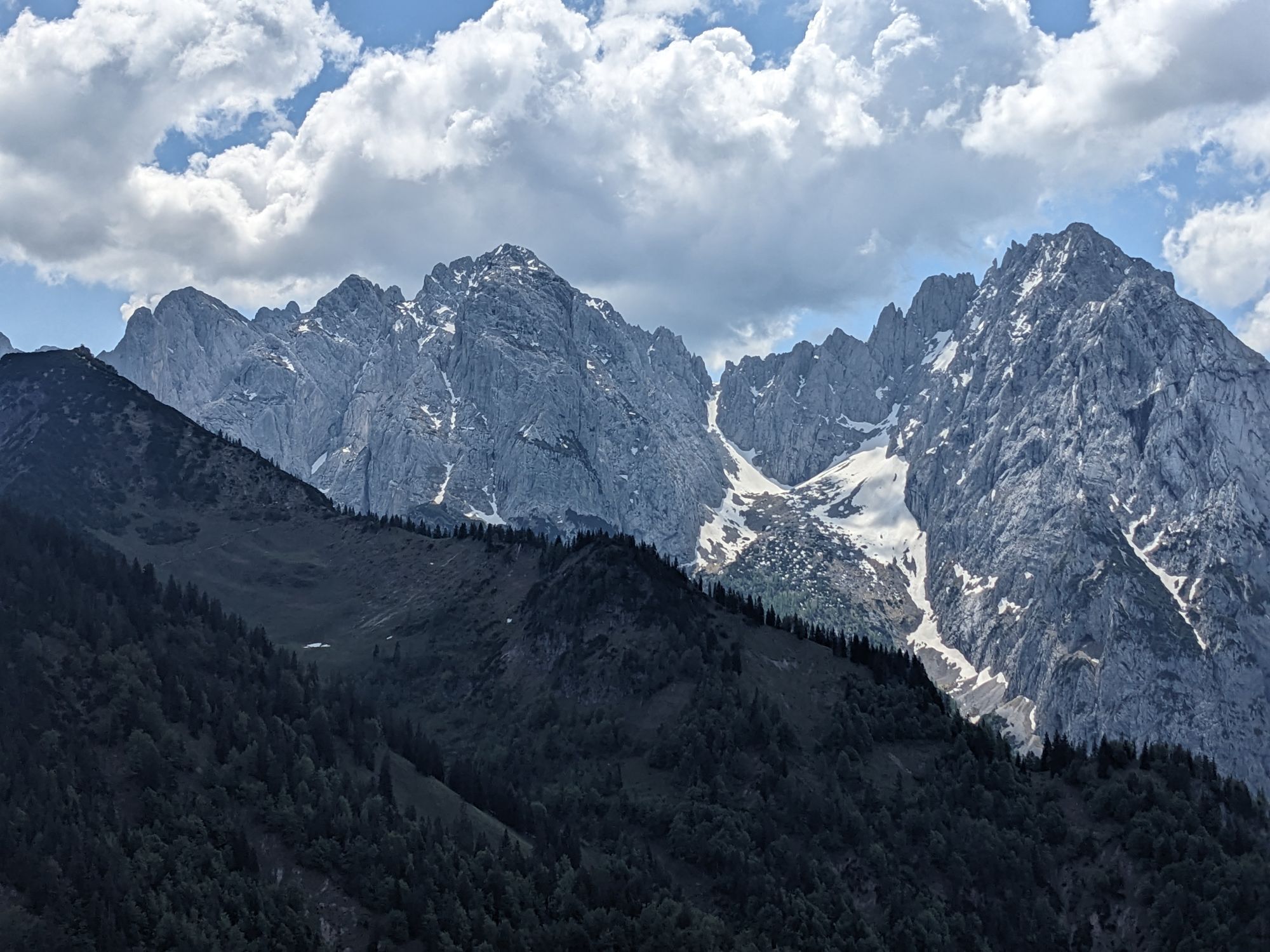
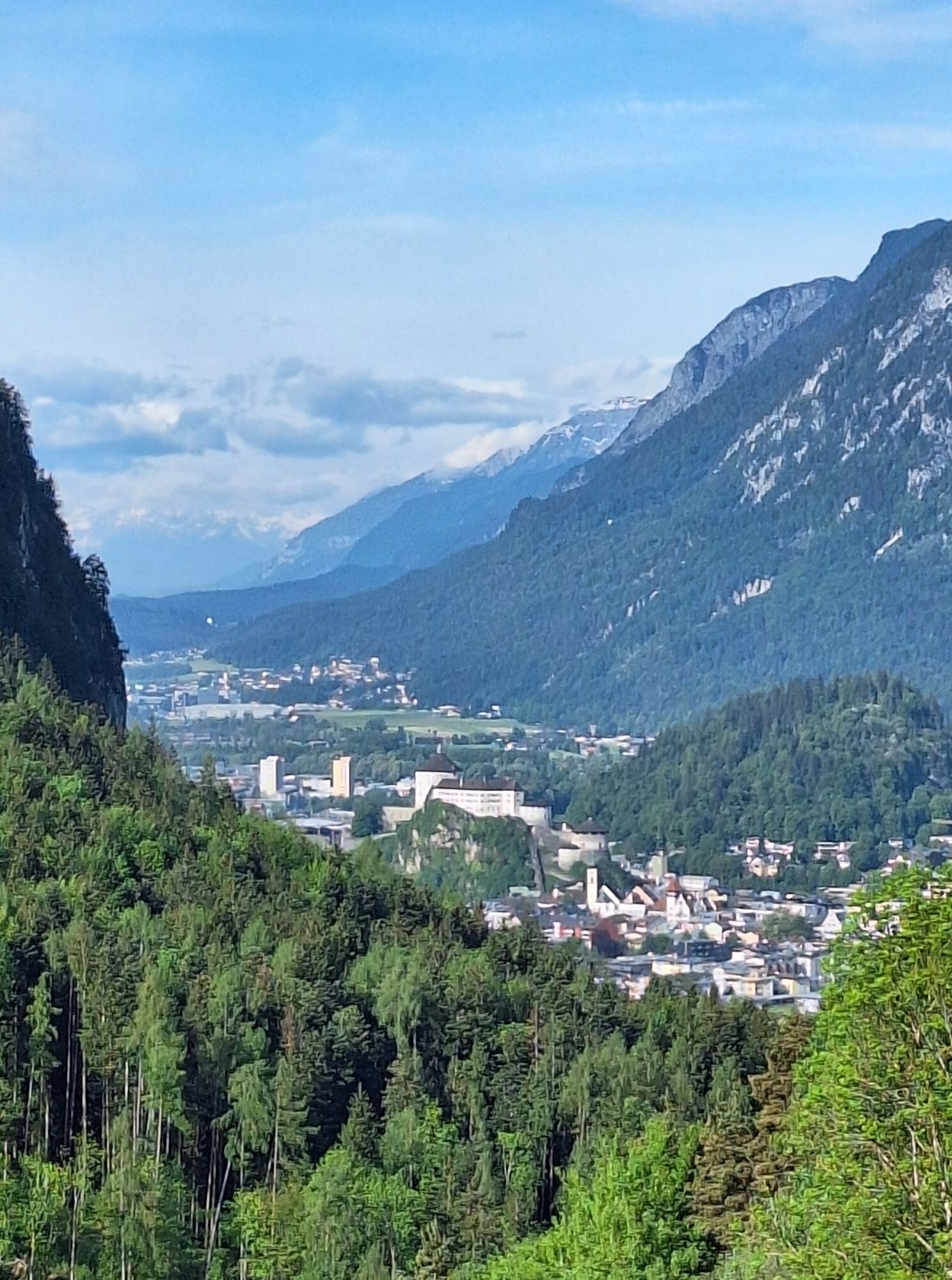
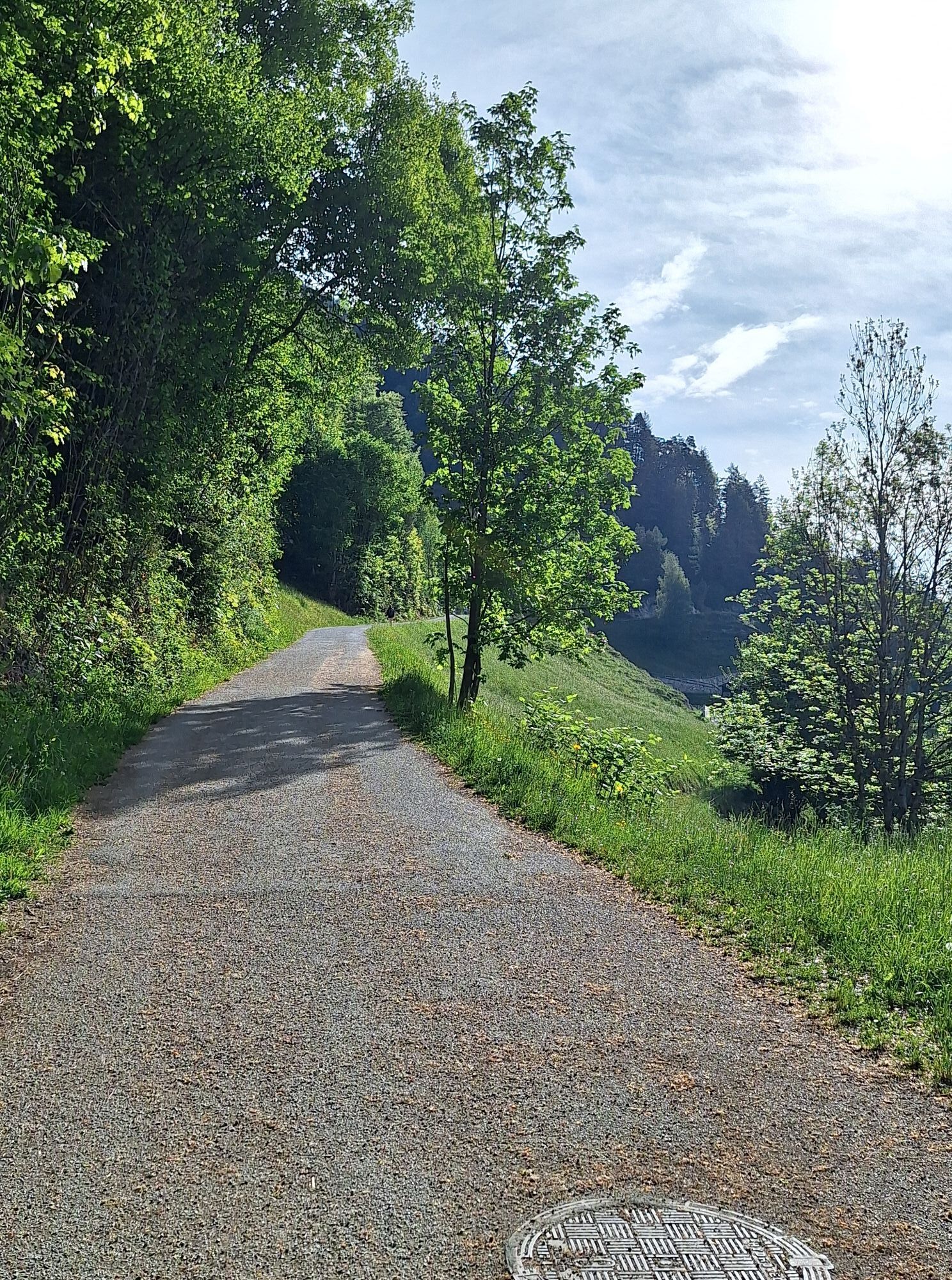
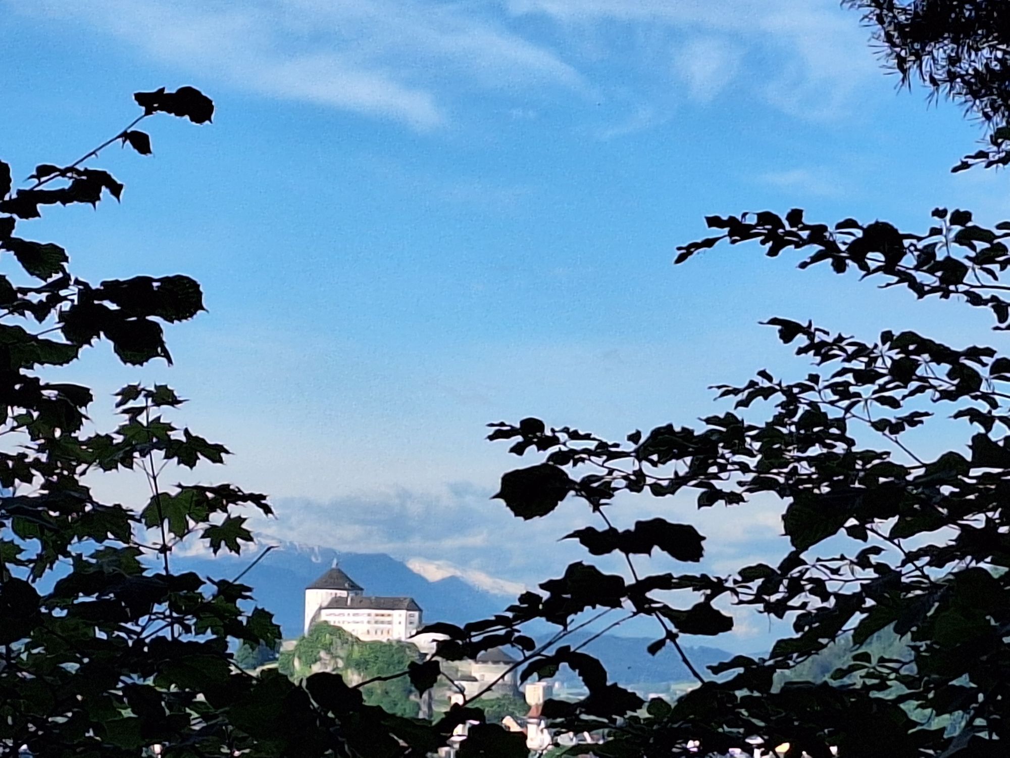
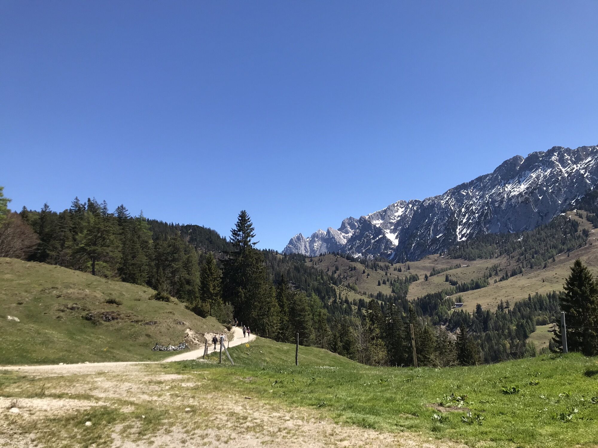
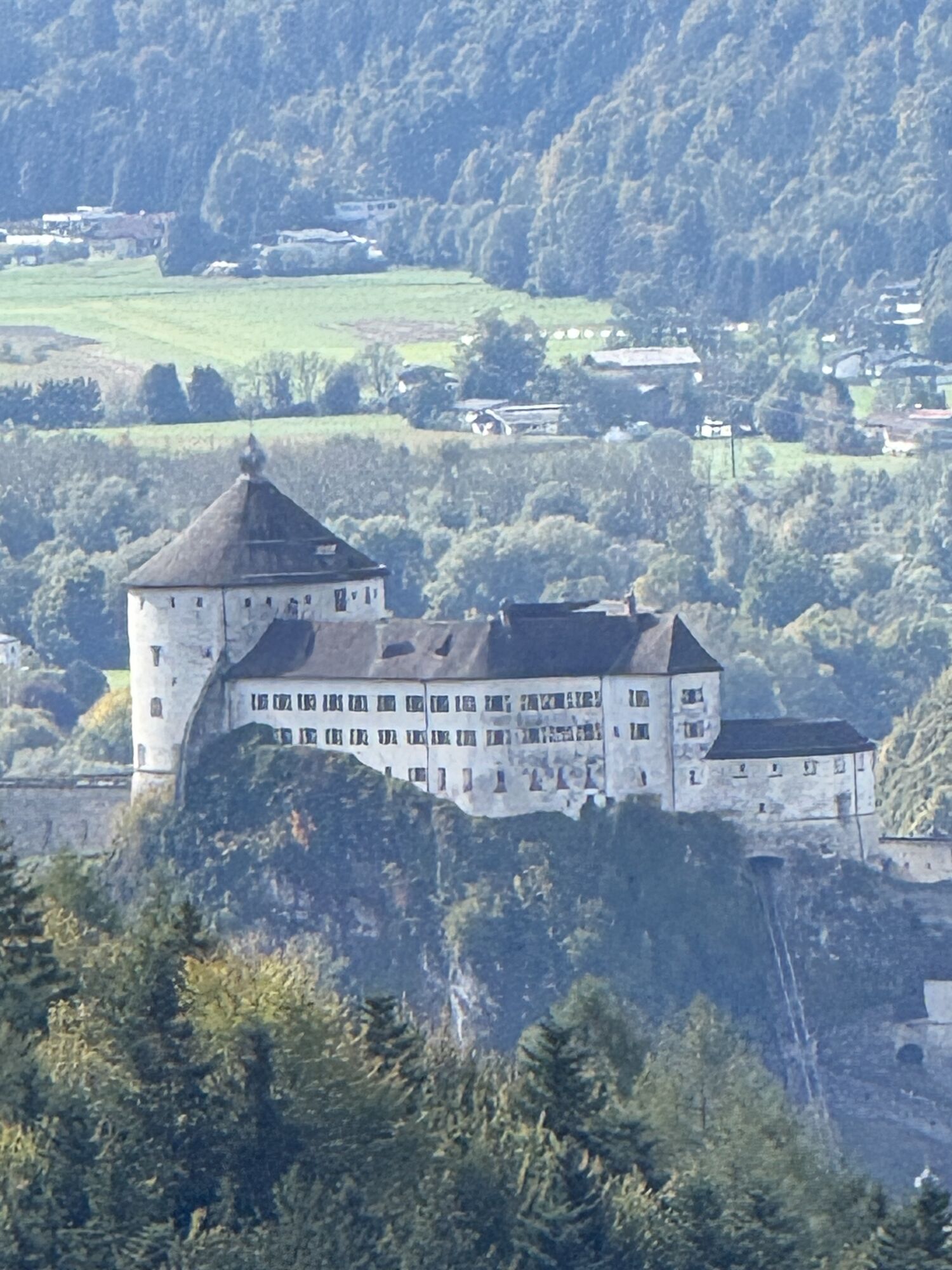
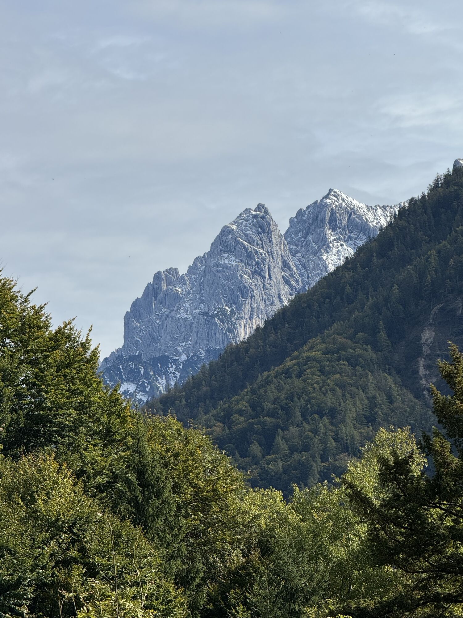
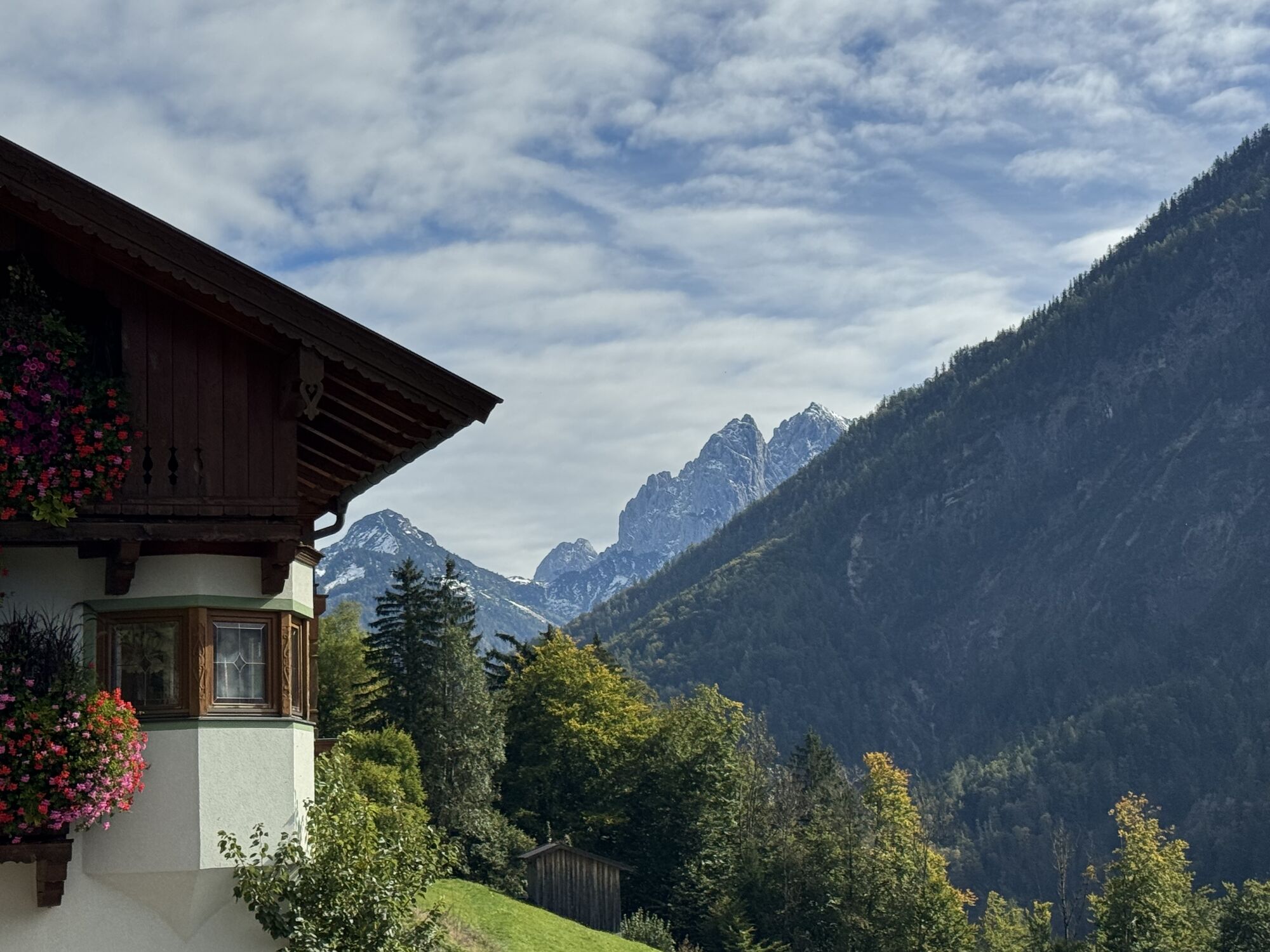
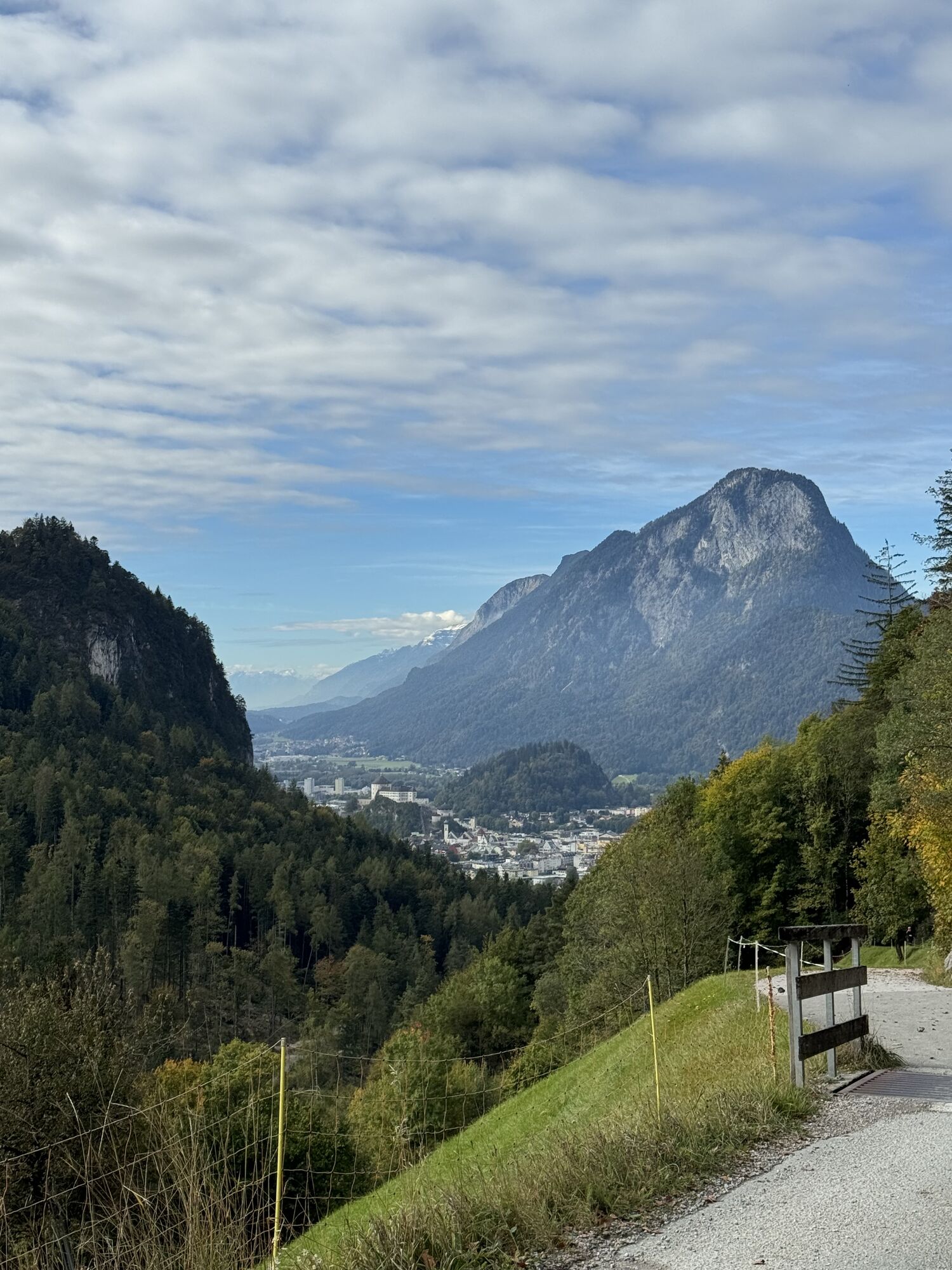
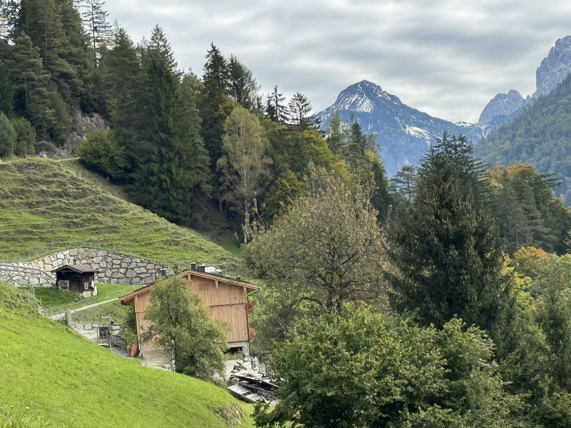
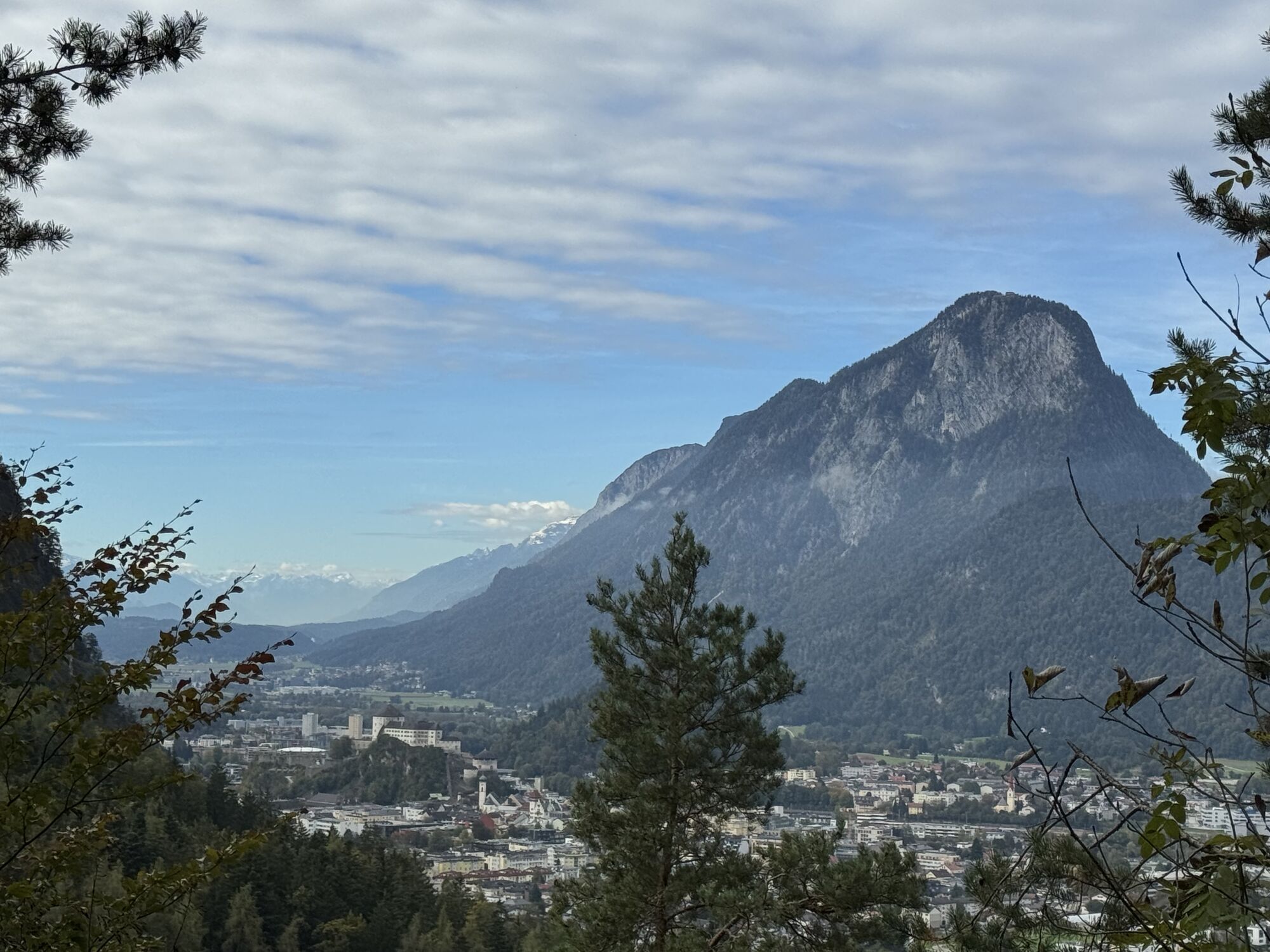
Day 1: Kaisertalaufstieg - Stripsenjochhaus - 14km - 1500hm - 6,5h
The starting point of the 2-day tour is the Kaiseraufstieg in Ebbs which is easily reached by city bus from Kufstein. Hike the 280 steps ...
Day 1: Kaisertalaufstieg - Stripsenjochhaus - 14km - 1500hm - 6,5h
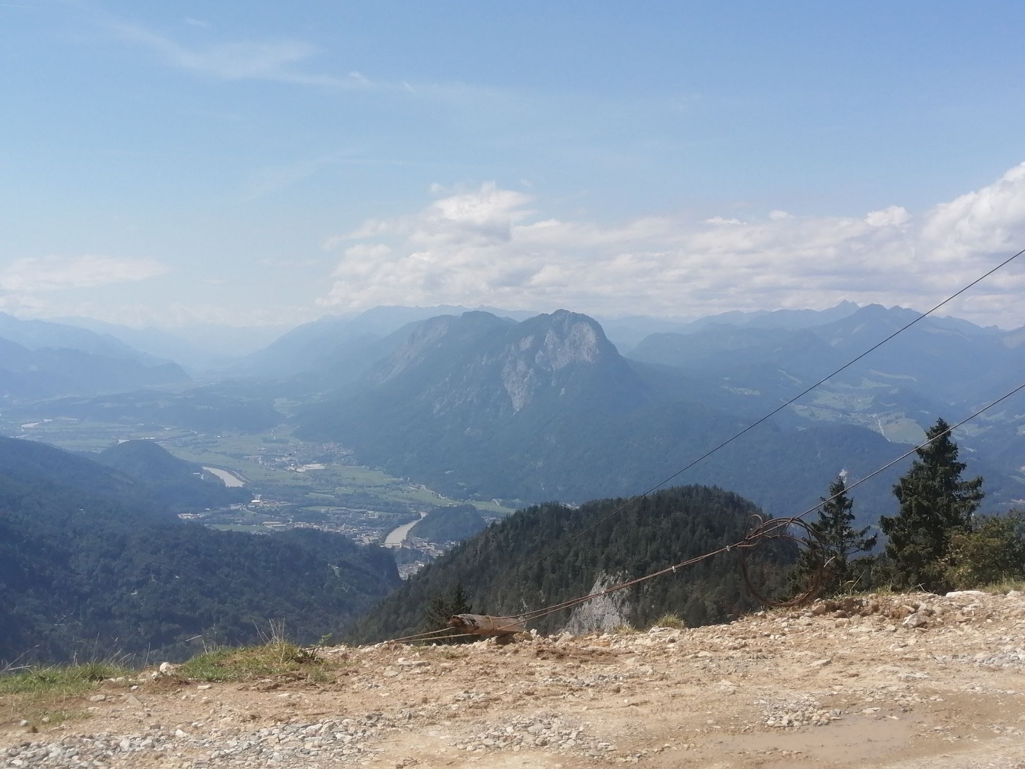
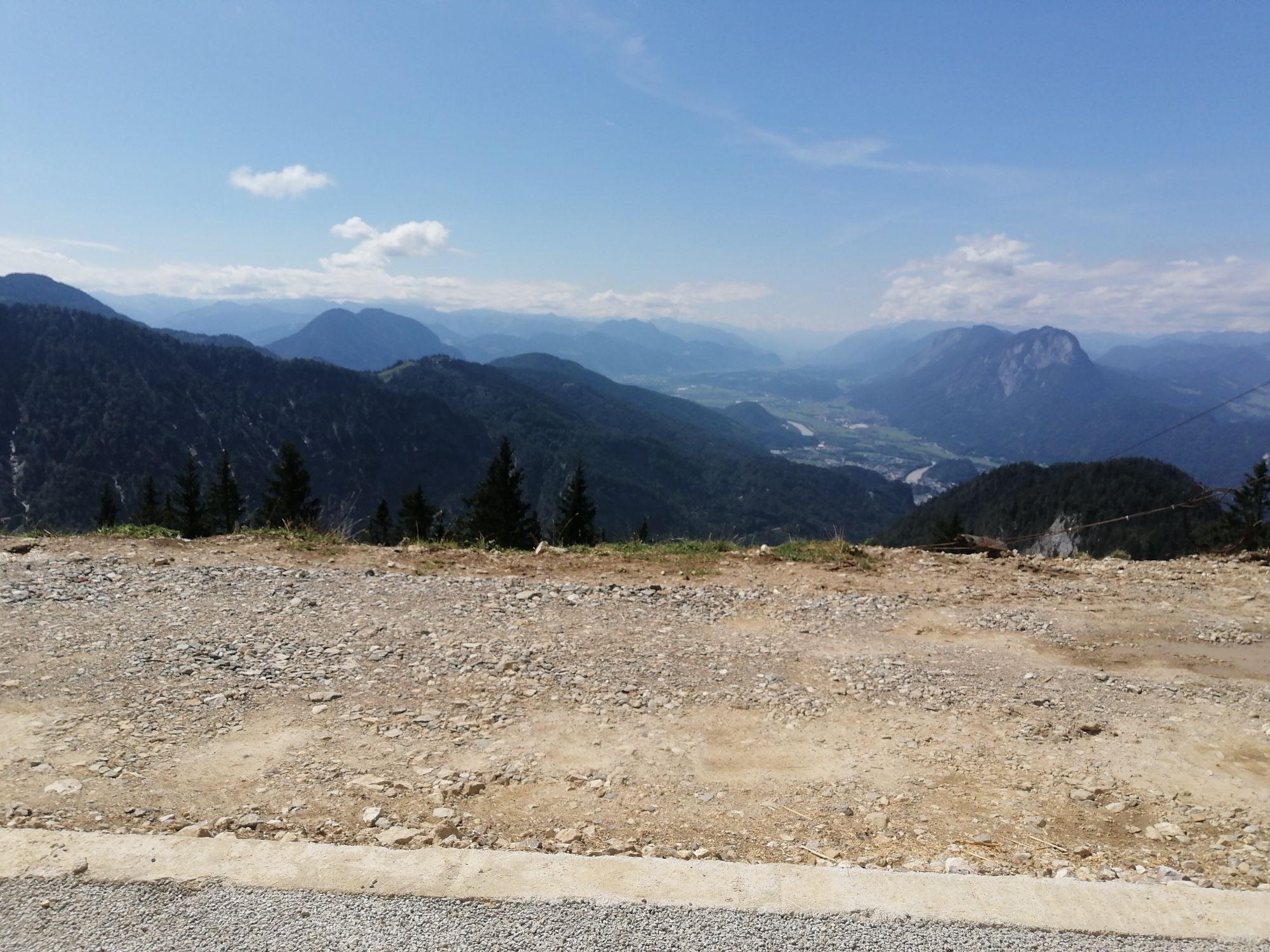
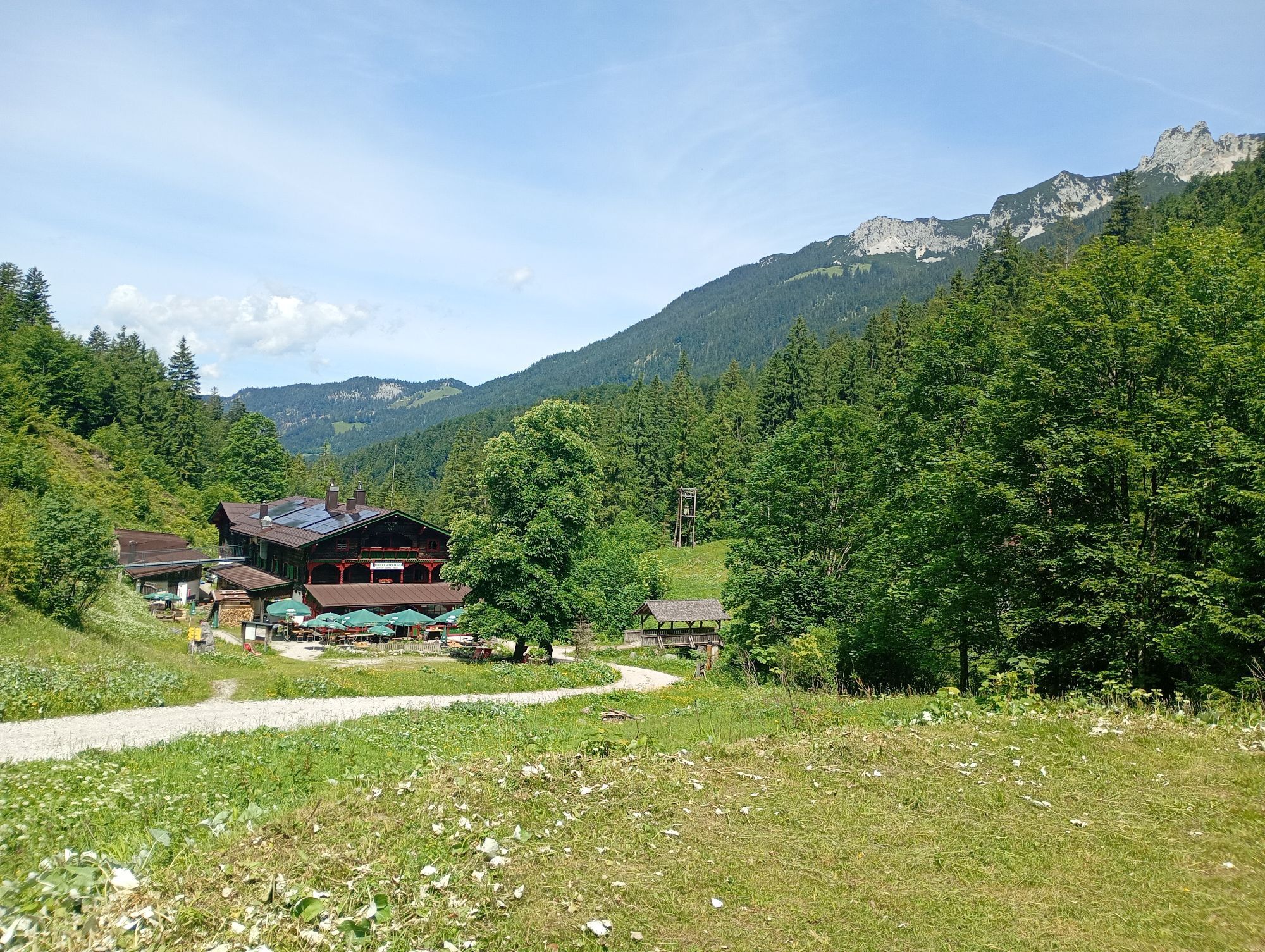
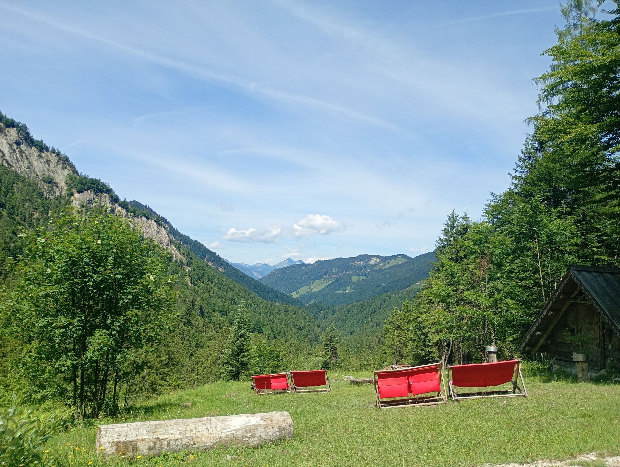
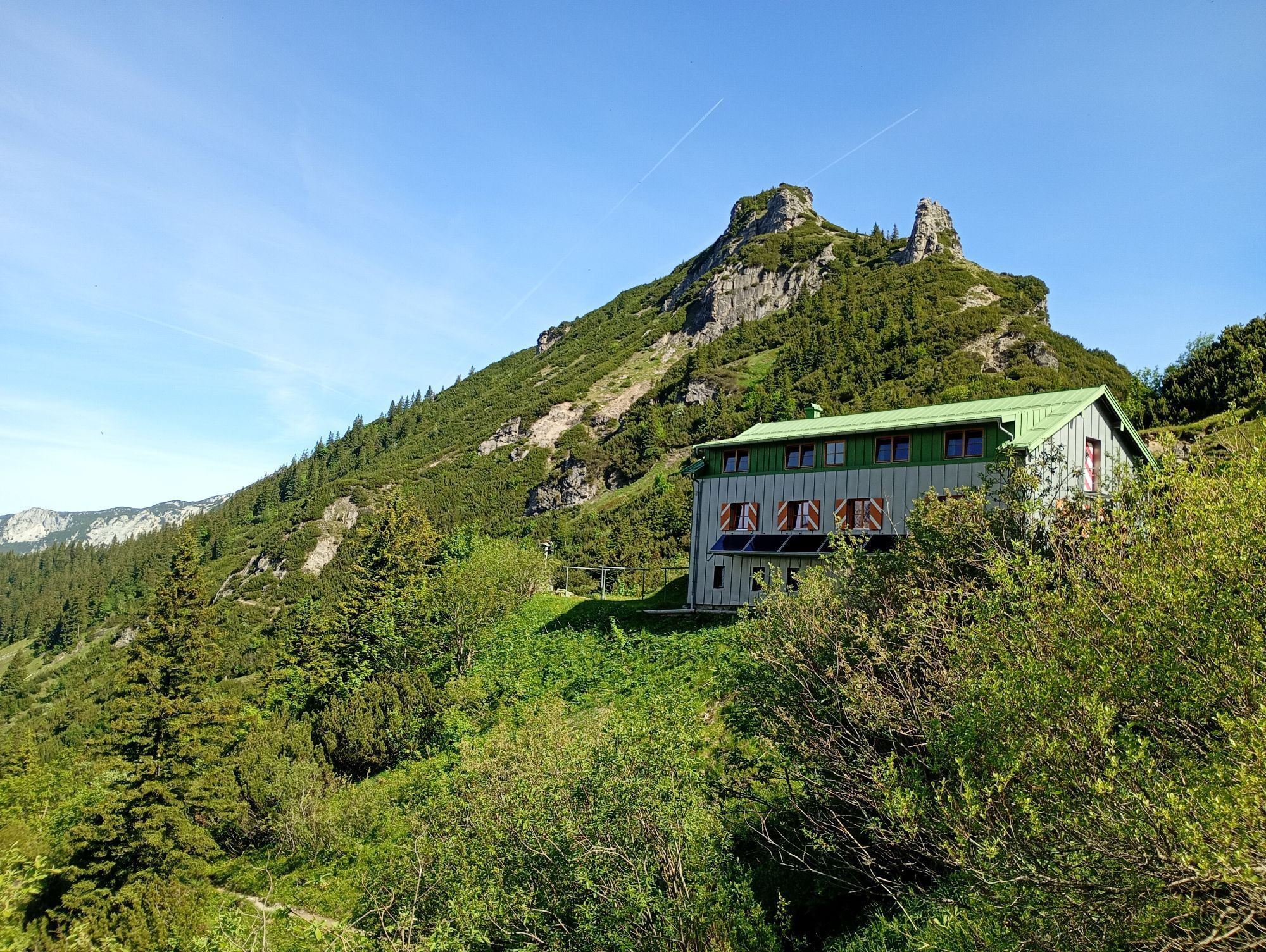
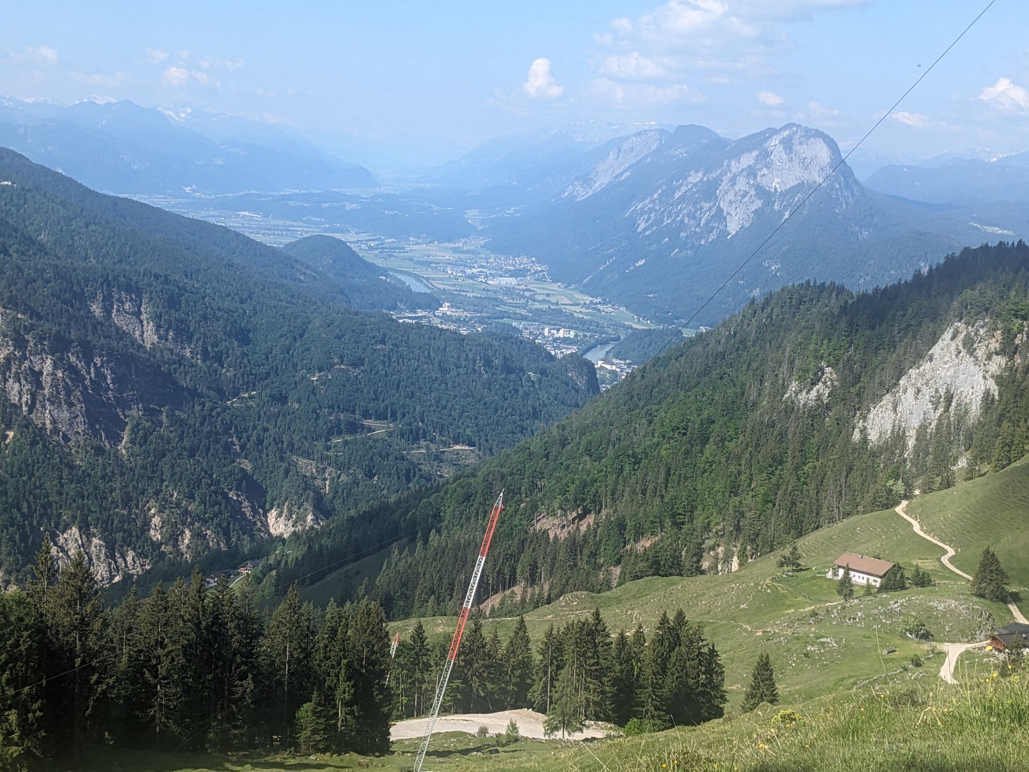
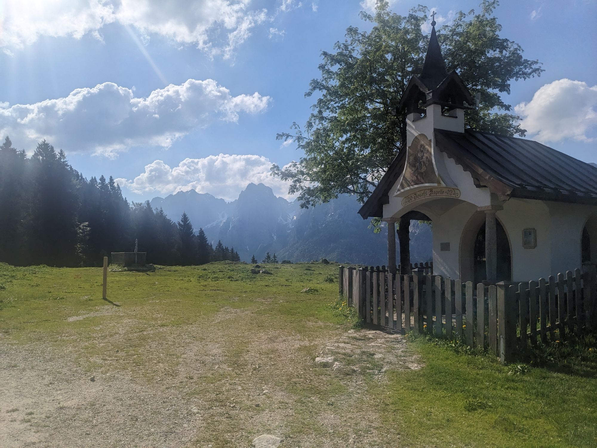
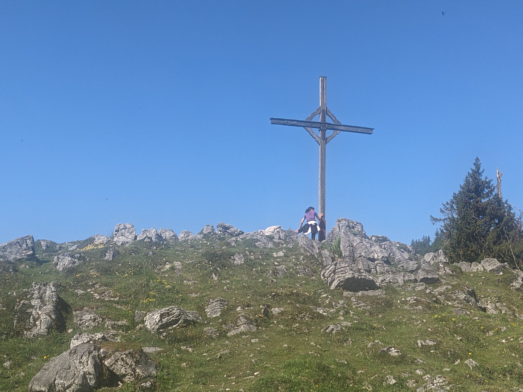
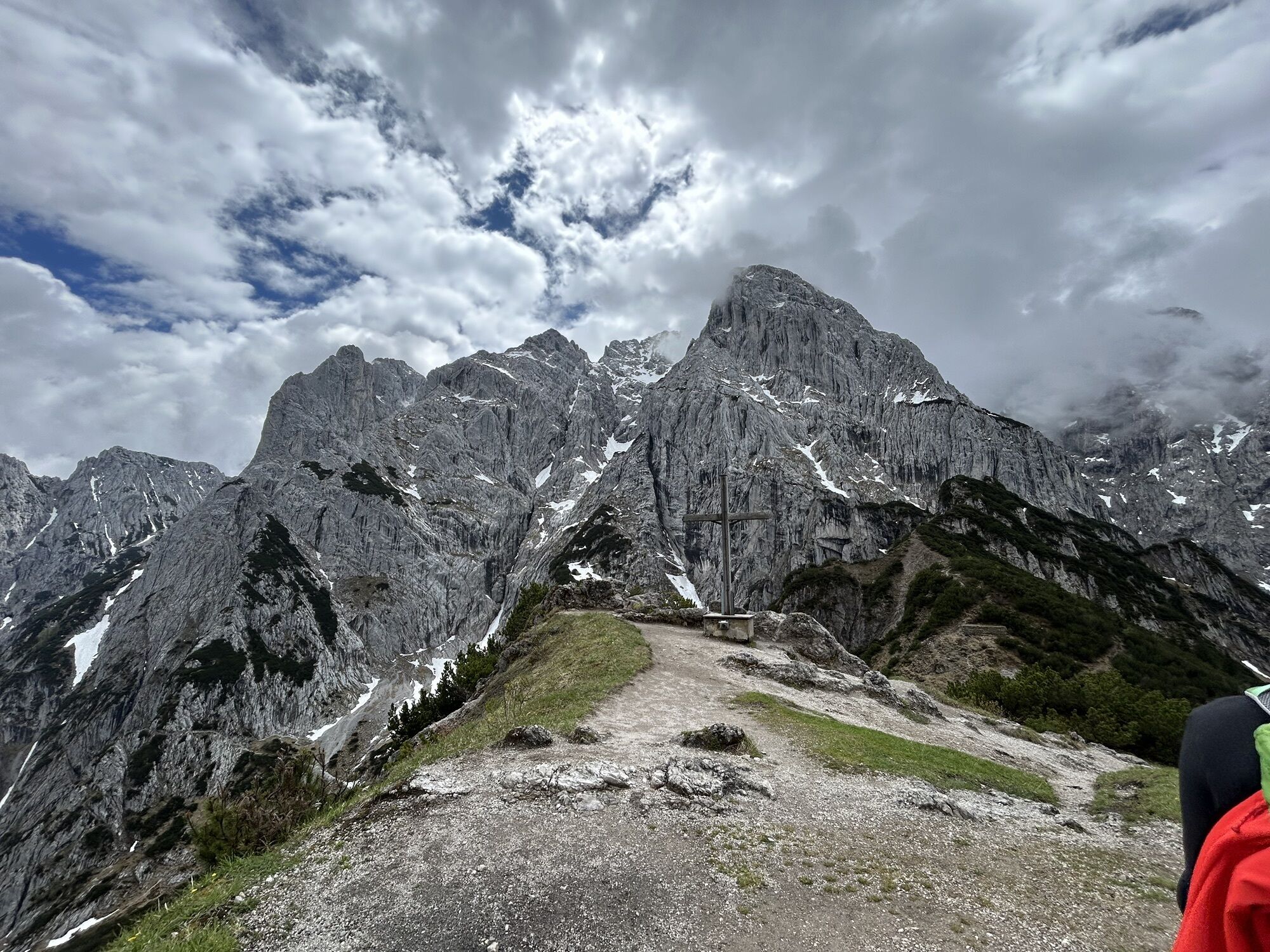
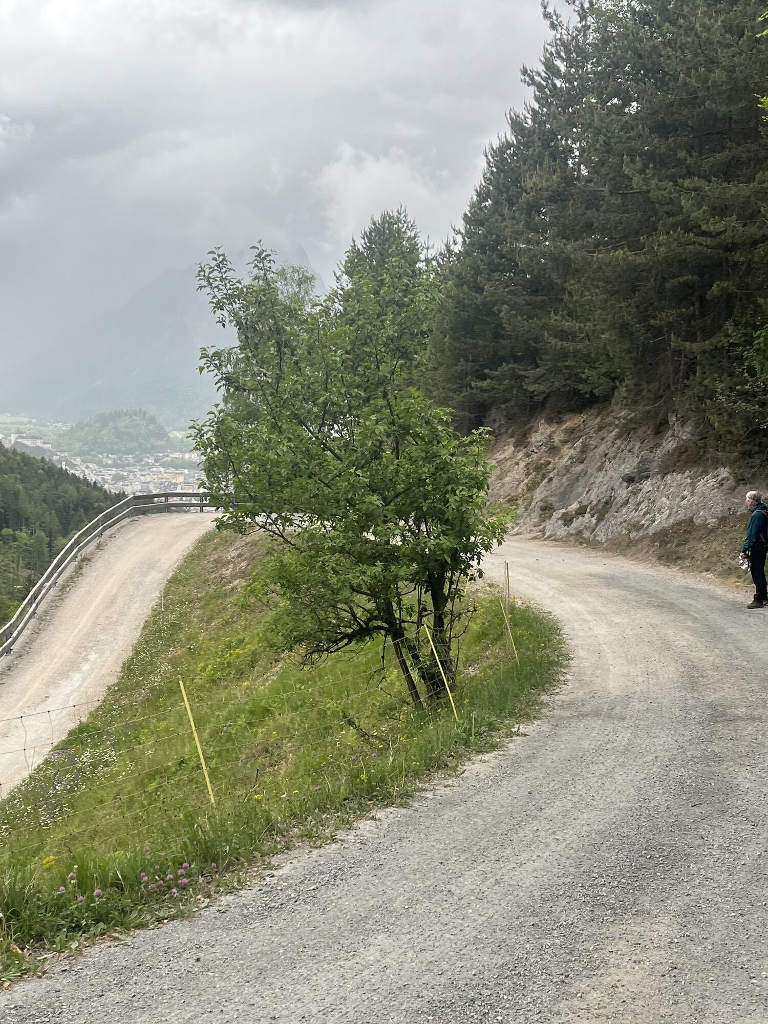
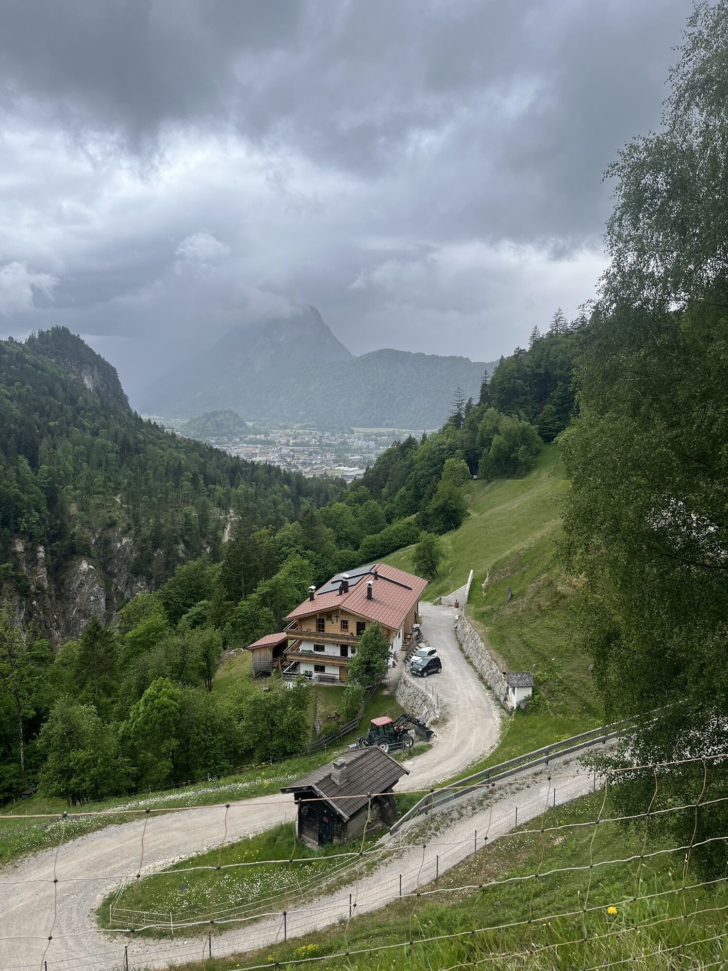
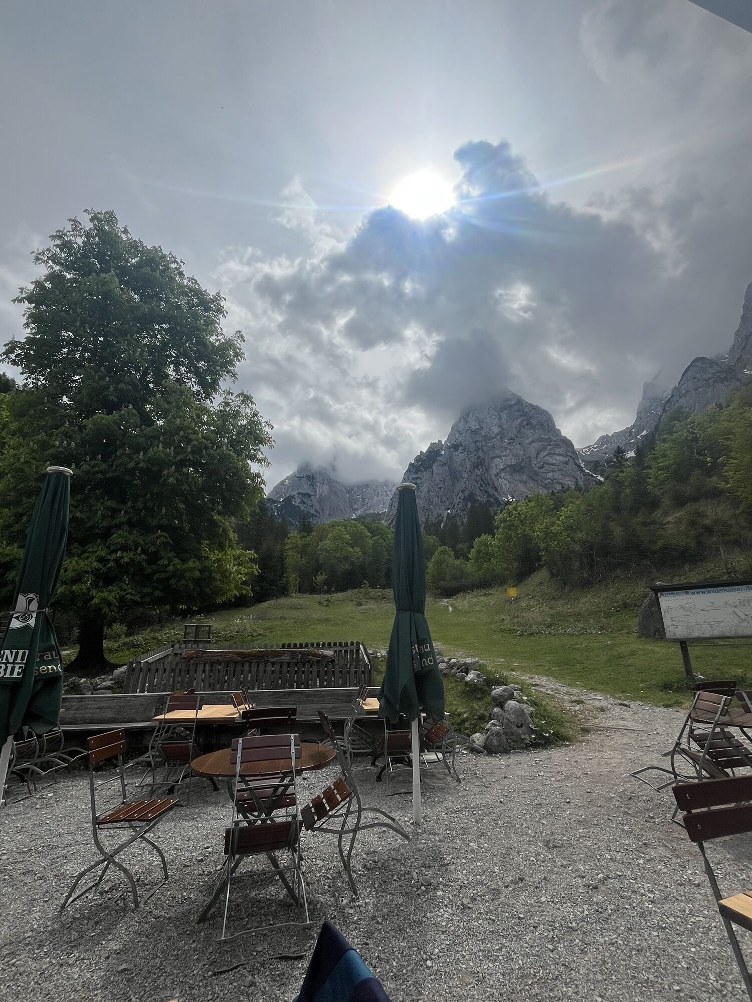
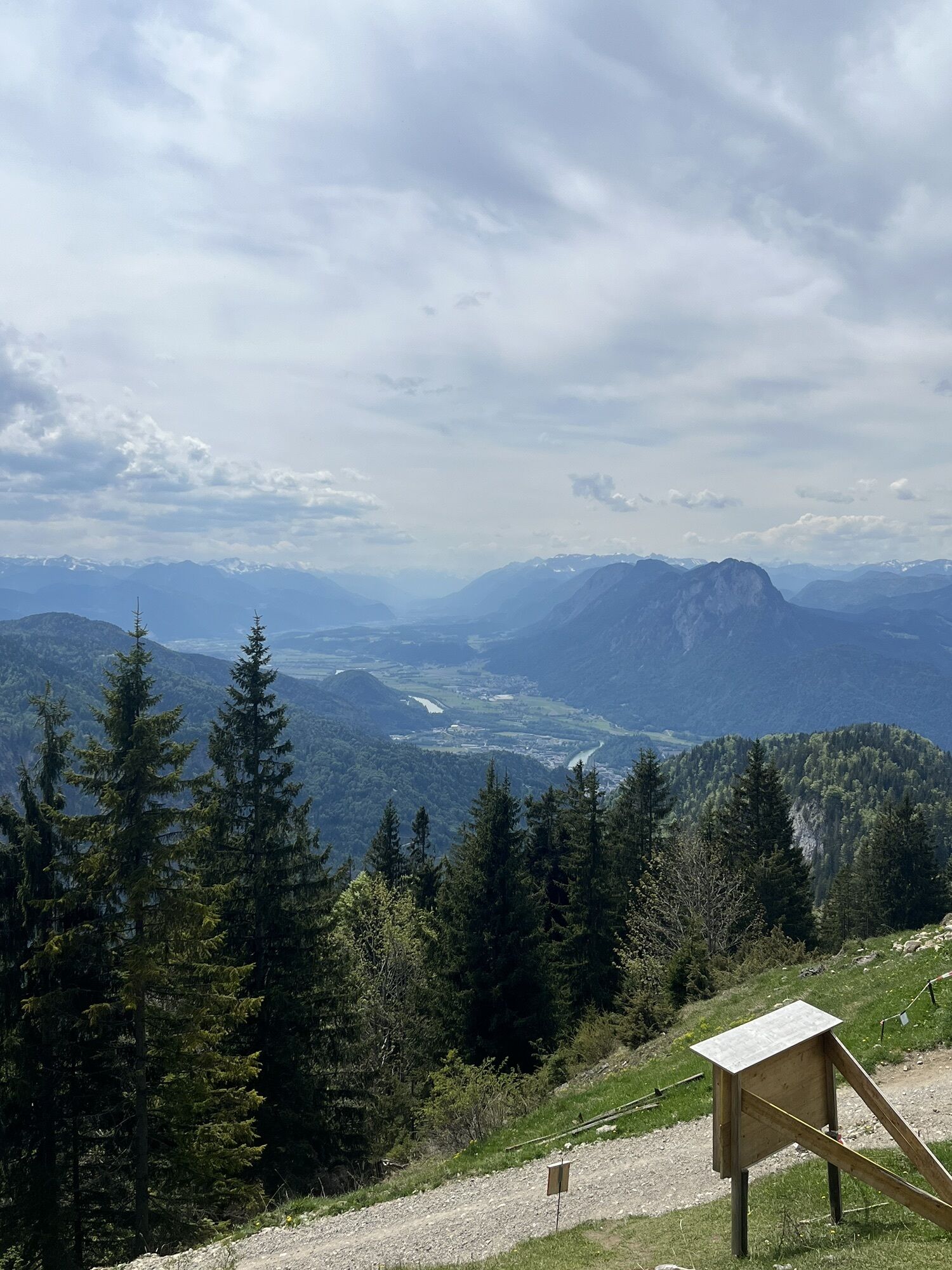
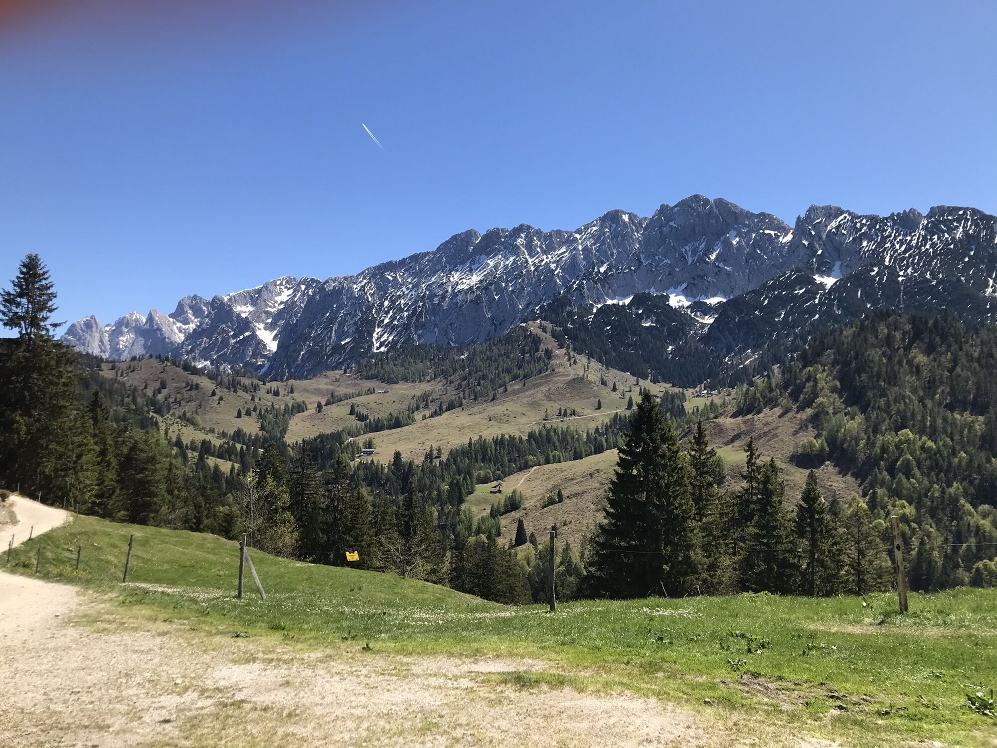
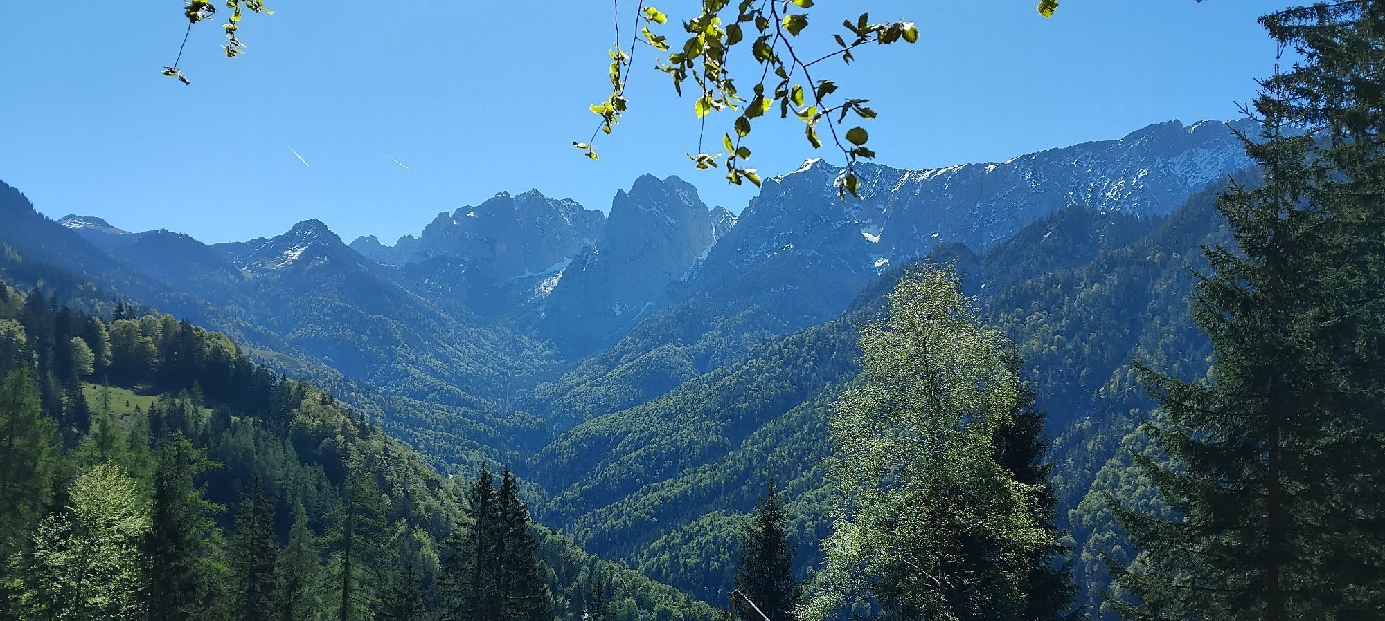
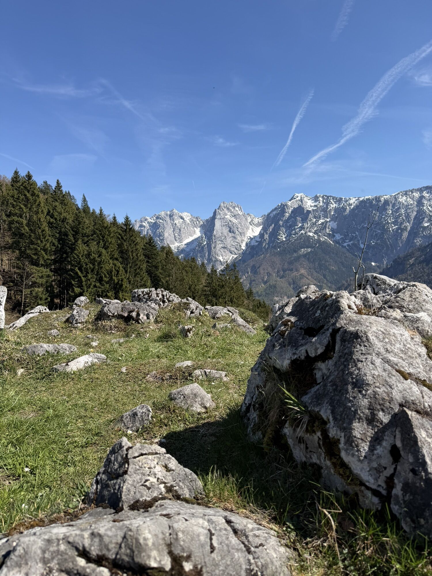
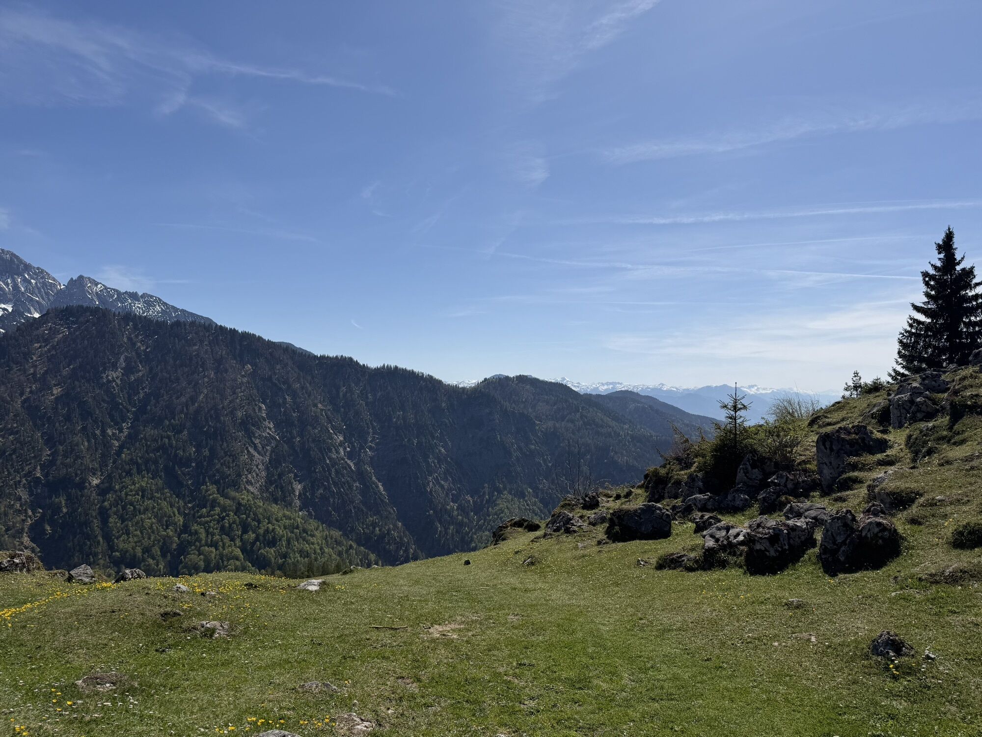
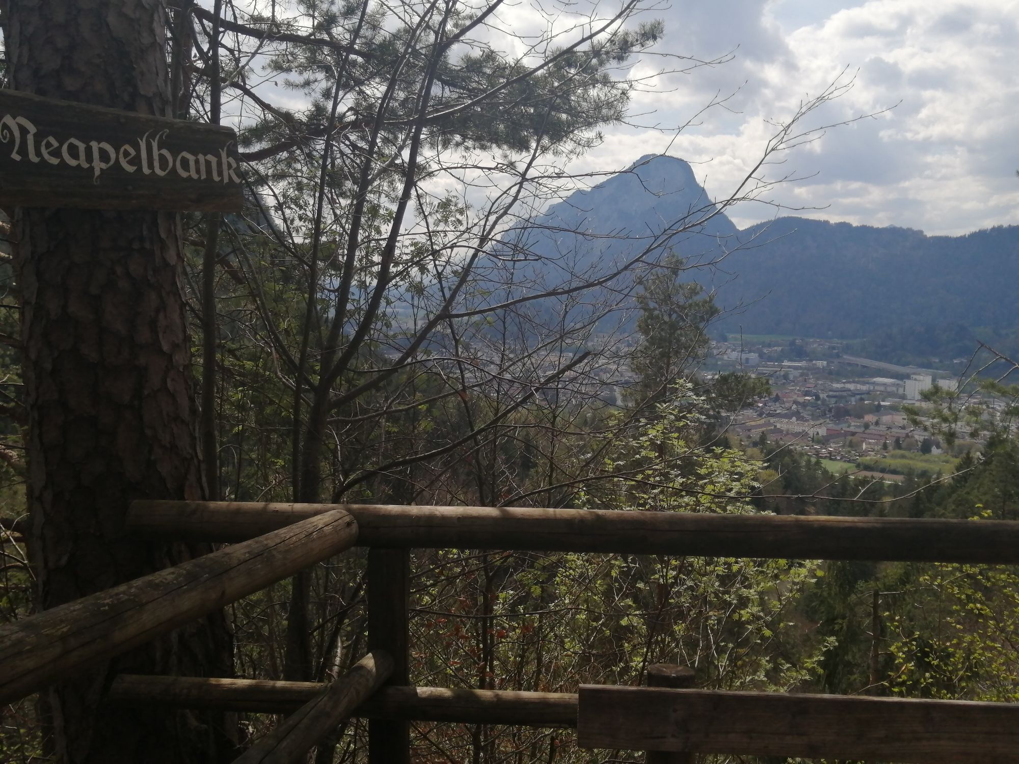
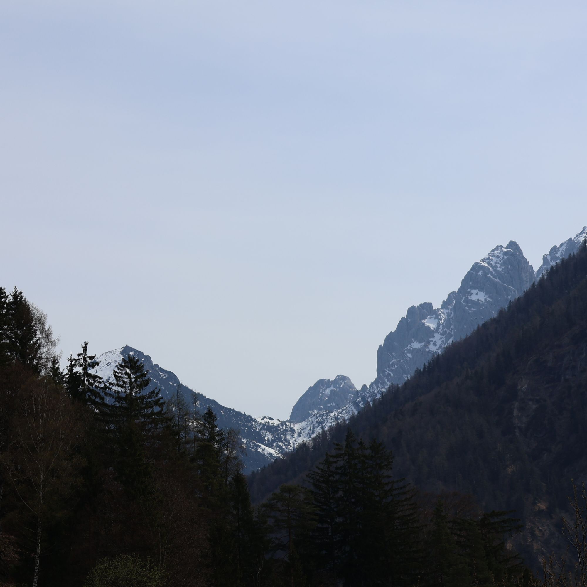
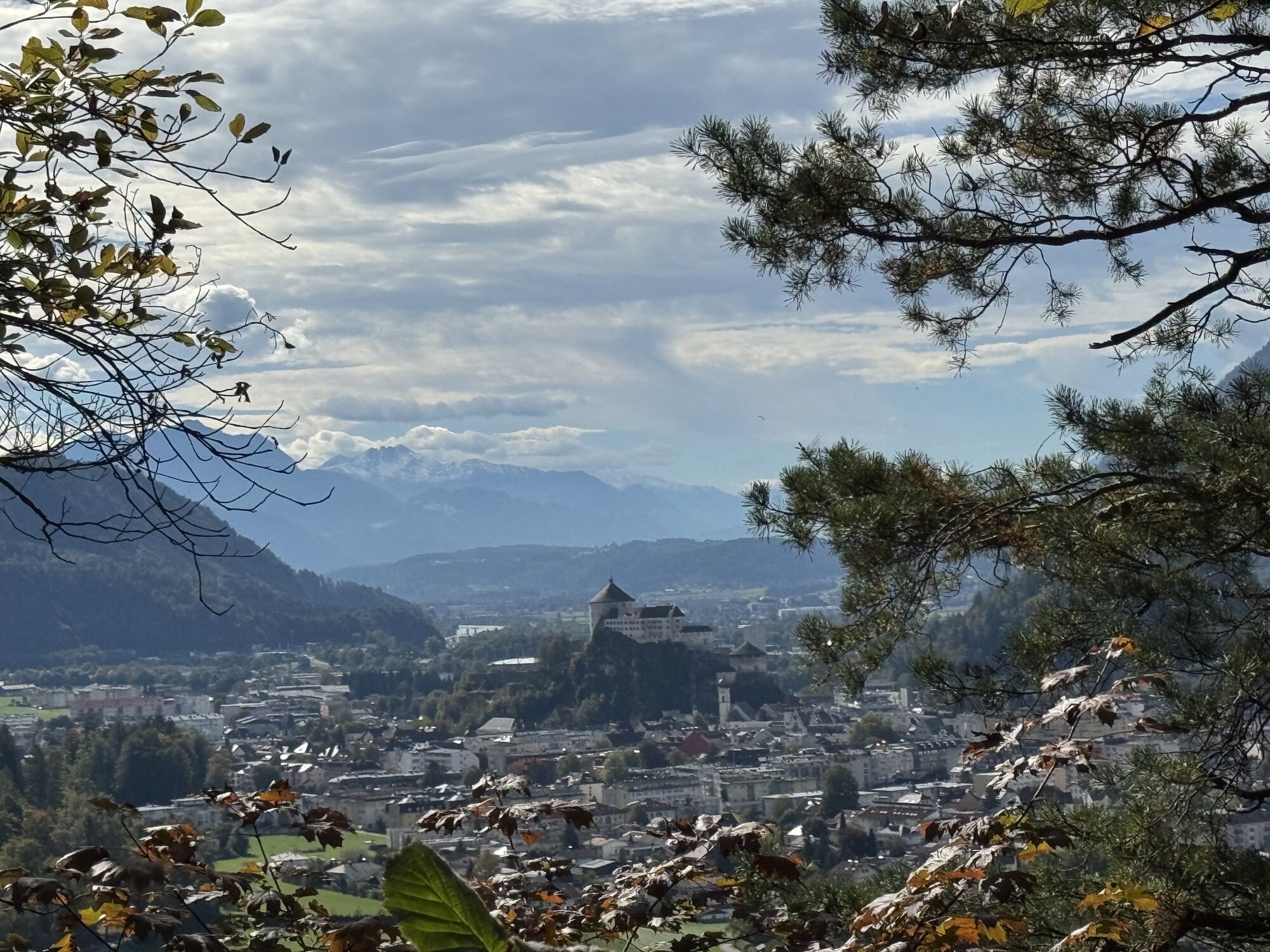
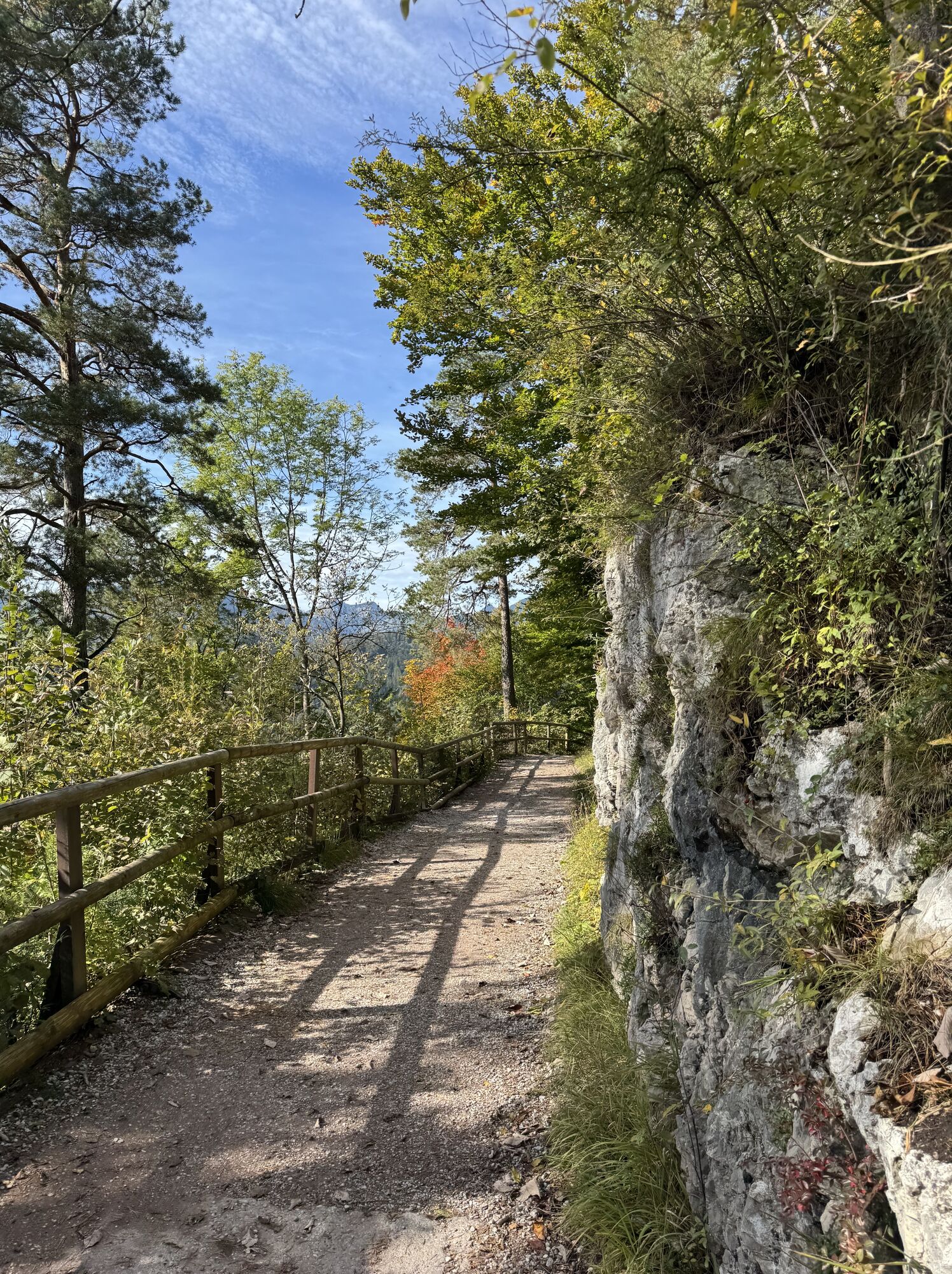
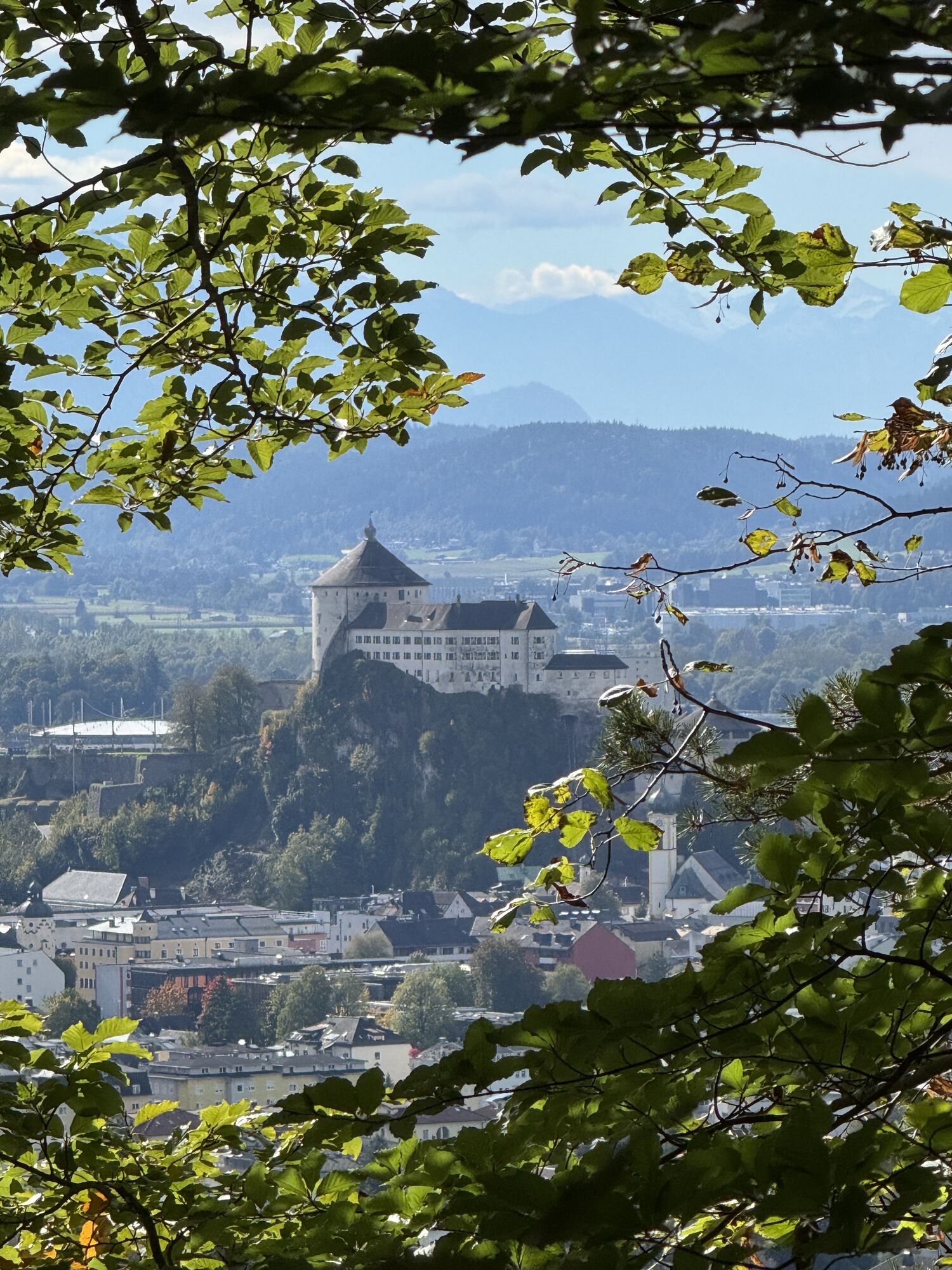
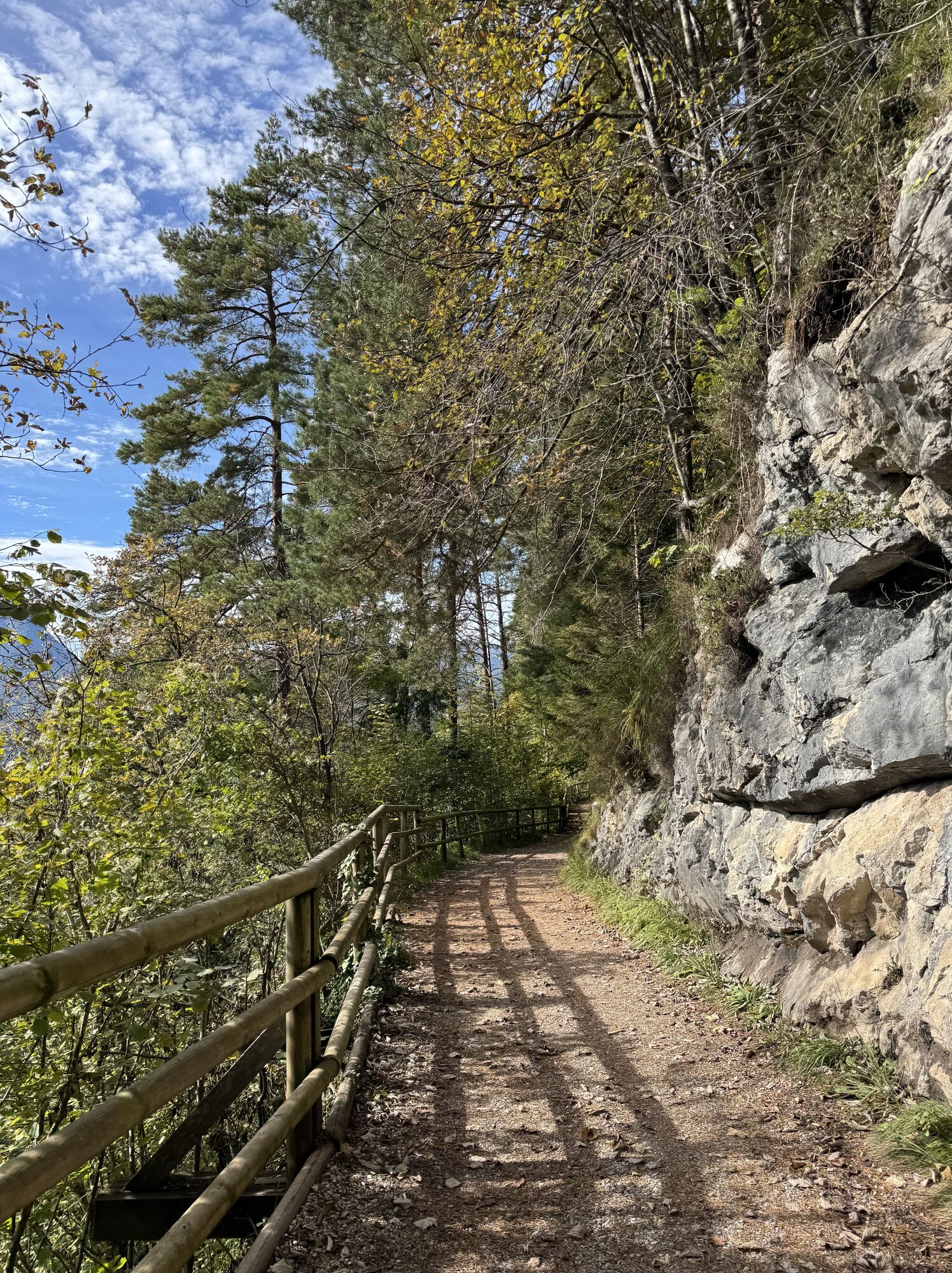
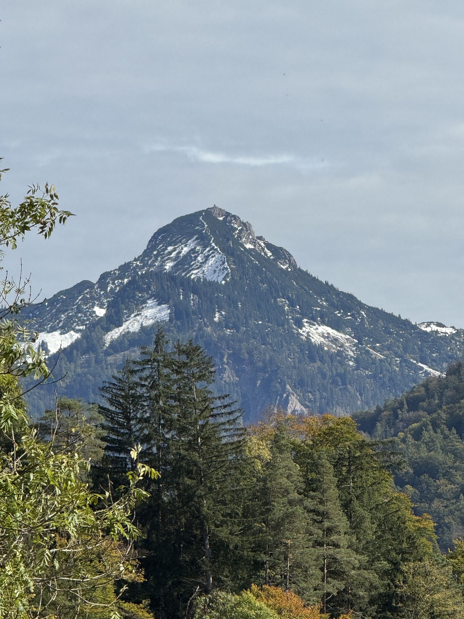
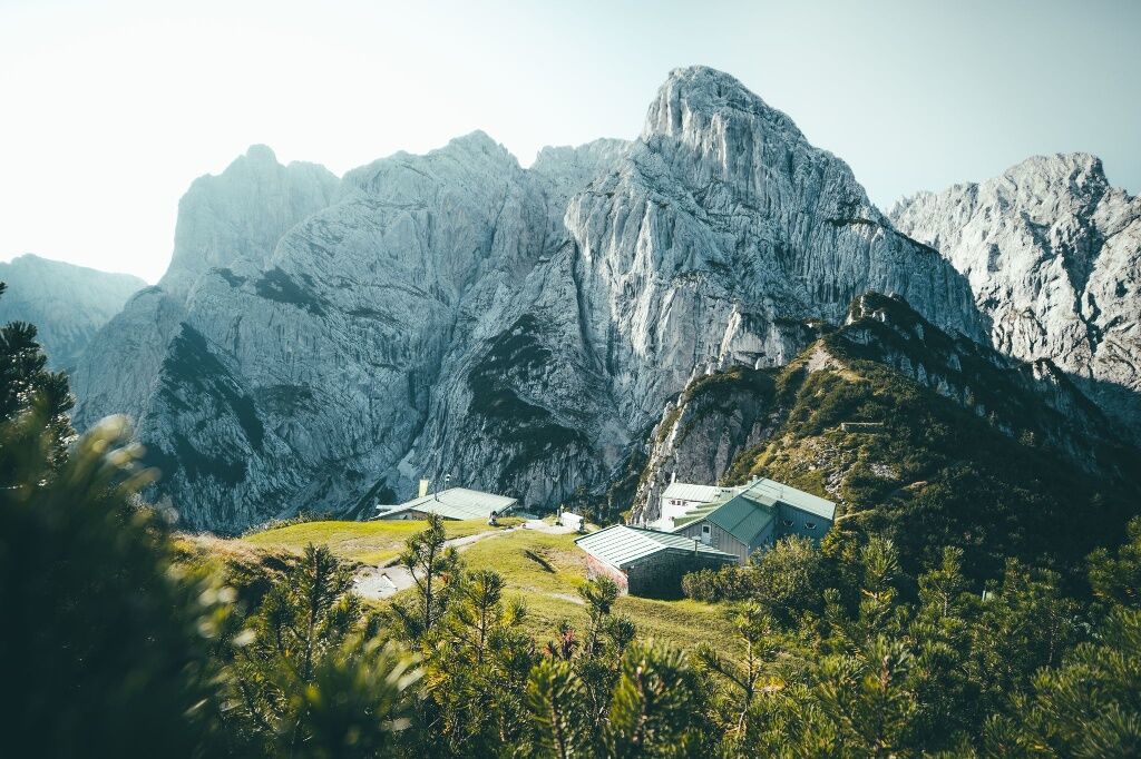
The starting point of the 2-day tour is the Kaiseraufstieg in Ebbs which is easily reached by city bus from Kufstein. Hike the 280 steps up to the Kaisertal. You pass the Gasthof Veitenhof and, just before the Pfandlhof, you reach the junction for the Ritzau Alm and Vorderkaiserfeldenhütte. The last can be reached after about 1.5 hours steep climb. The panorama from the top is breathtaking and a short break is definitely worth it! The view accompanies you almost continuously on the subsequent mountain trail. At the first passage to Edelfeldenalm the track slightly leads downhill or even across flat terrain. From here you follow the path through the forest uphill, past the fork in the path leading to Pyramidenspitze, heading straight. The path leads down- and uphill to Hachalm (1403m). From this point you follow the ascending path to the ridge of the Ropanzen (you can hike up to the highest point in about 10min, highly recommended because of the view). On the other side downhill on partly well-worn path to the Feldalmsattel (1433m). Futher south, then left along the mountainside on the ridge between Stripsenkopf (1807m) and Oberer Häuslkopf (1578m). From here you traverse the mountainside and follow the rugged path to Stripsenjochhaus (1577m), where we stay overnight.
Day 2: Stripsenjochhaus - Brentenjoch/ Kaiserlift - 11,9km - 730hm - 5,5h (excl. 30min lift)
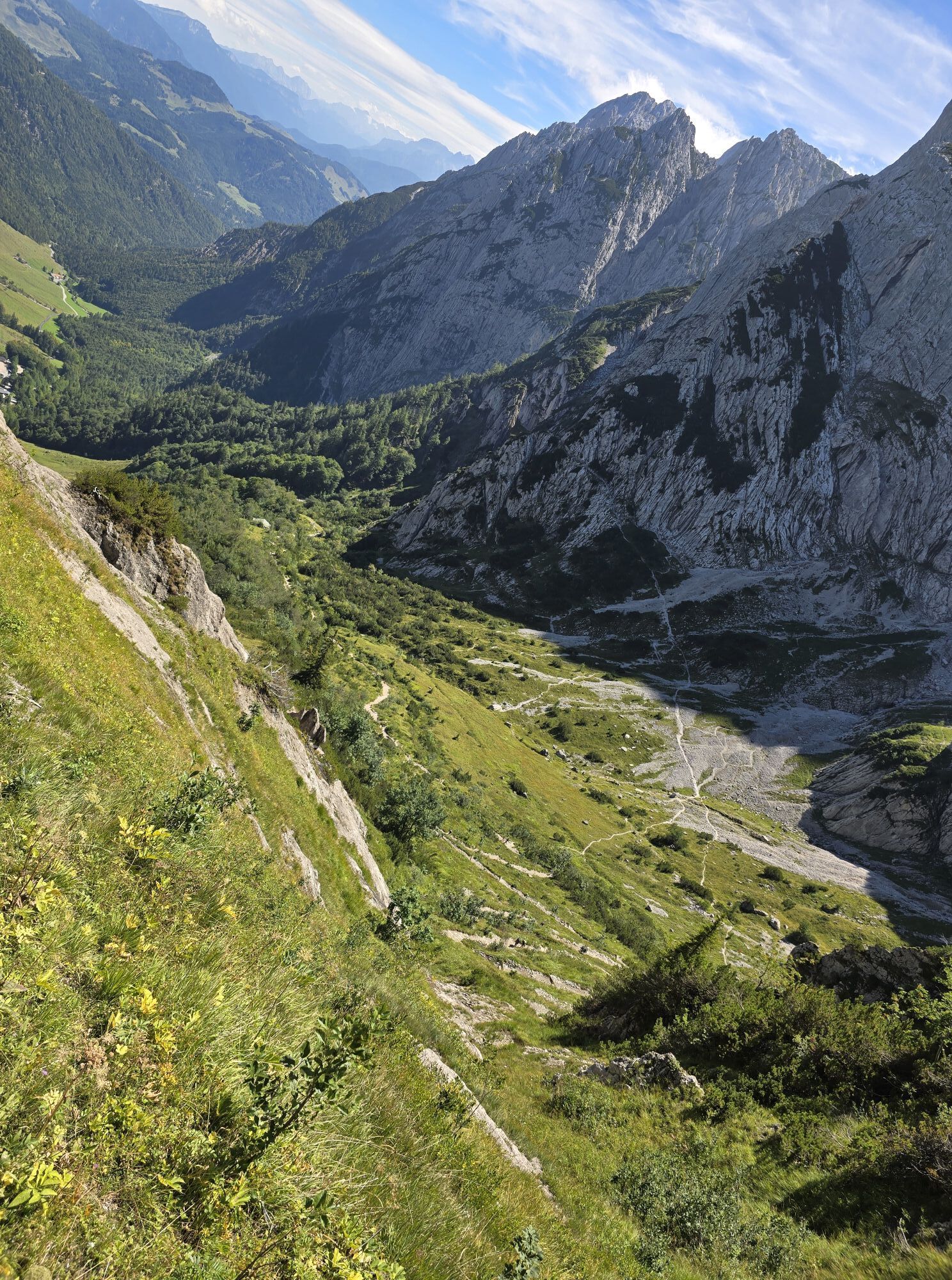
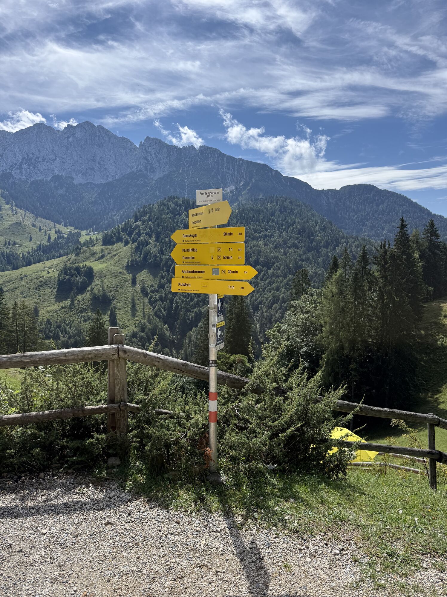
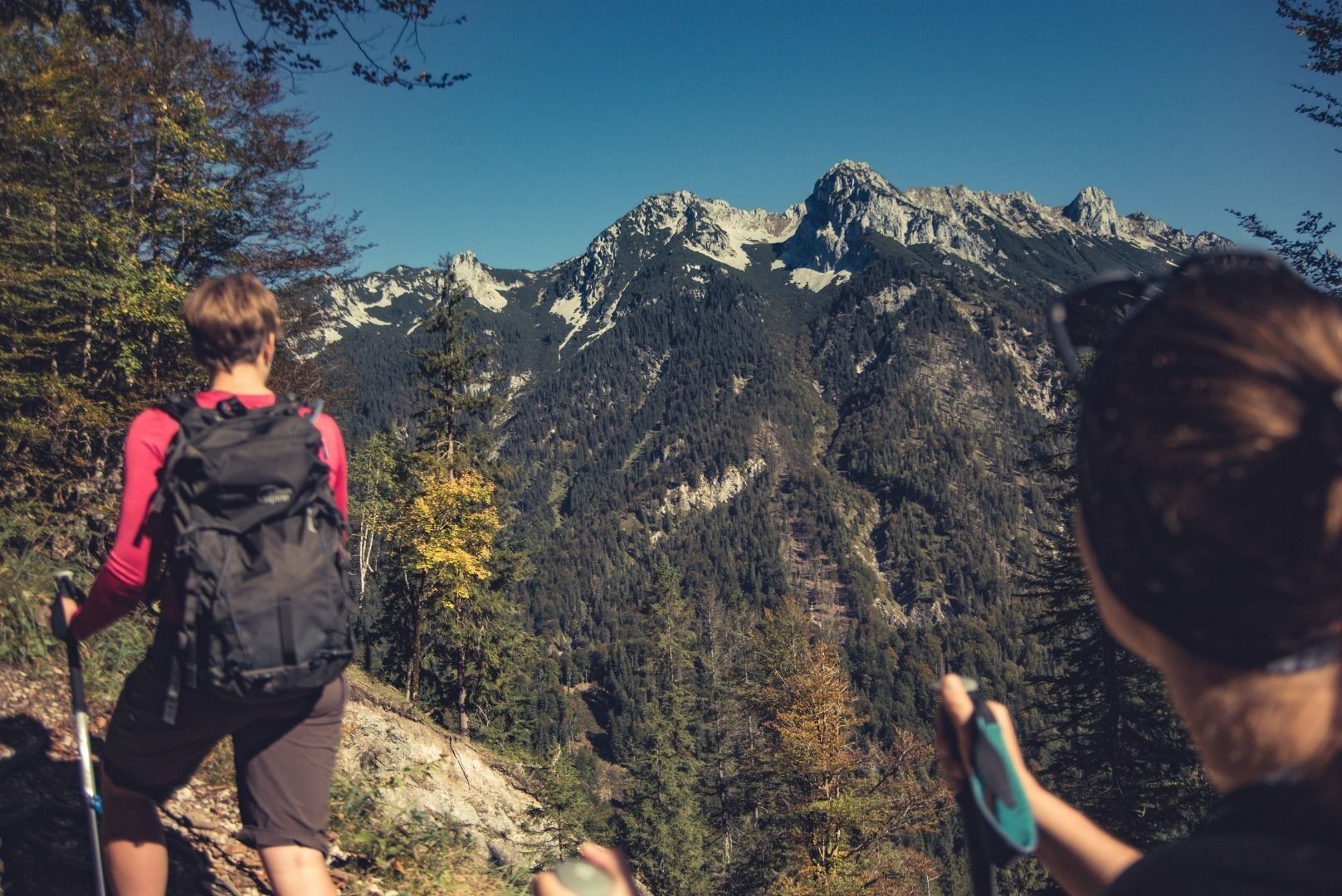
The second stage starts after a good breakfast with a steep downhill route in the direction of Hans-Berger house. From there on to the Hinterbärenbad/ Anton Karg Haus. Directly at the hut the Bettlersteig branches off in the direction of Kaindlhütte. This climb is steep, exhausting and mostly runs in the forest. Once at the top you have a fantastic panoramic view at the north side of the Wilder Kaiser. Take the right path towards Gamskogel and walk partly over the pasture, partly in the forest to the Brentenjoch. There you can decide whether you want to float down with the chairlift, the Kaiserlift or you can continue the last piece on foot. At the valley station it is another 10 minutes walk back to the starting point, or you take the city bus from the Meranser Straße to get to the center of Kufstein.

Snacks (e.g. fruit, muesli bars, wholemeal breads) and drinks (allow for sufficient liquid)
First aid equipment
Mobile phone with full battery
Hiking map and guide literature
Sun protection (sunscreen and glasses, cap)
Bivouac bag
It is possible to arrive by car to the paid car park of the Kaiserlift.
With the KufsteinerlandCard within the region bus free of charge.
Kaiserlift valley station, subject to a charge.
Získejte přehled
Vždy živě na místě s více než 9 500 webkamerami. bergfex Jako uživatel Pro si nyní můžete zobrazit odpovídající webové kamery pro mnoho prohlídek v aplikaci prohlídky z. Můžete si tak přímo prohlédnout aktuální podmínky.

Oblíbené prohlídky v okolí
-
4.7
Kirchdorf: Zur geheimnisvollen Teufelsgasse
středníTuristika 7.90 km -
4.9
Schleierwasserfall Runde
středníTuristika 5.63 km -
4.3
Erpfendorf: Griesbachklamm
středníTuristika 10 km -
5.0
Priener Hütte
středníTuristika 7.99 km -
4.8
Gruttenhütte über Klammlweg
středníTuristika 5.61 km -
4.9
Kirchdorf: Kaiserbachtal - Stripsenkopf und Feldberg
heavyTuristika 12.6 km -
5.0
Stripsenjoch Klettersteige/ Rundwanderung von Griesener Alm über Stripsenjochhaus und Feldberg
středníVia ferrata 10.2 km -
4.4
Kitzbüheler Horn über Horn-Gipfel-Höhenweg
středníTematická stezka 5.30 km -
4.8
Ellmauer Tor (22.07.2020)
středníTuristika 9.32 km -
4.7
Musikantensteig zur Naunspitze
středníTuristika 8.96 km

Pěší turistika a stopování


Nenechte si ujít nabídky a inspiraci pro vaši příští dovolenou
Vaše e-mailová adresa byl přidán do poštovního seznamu.





