







Ötztal Trek Stage 18
Úroveň obtížnosti: T6
Course: Climbing, PathRequirements: Step safety, dizziness, condition, endurance, high alpine experience;Mountain route black, intersection alpine routeDifficulties: extremely long tour, several times...
Course: Climbing, Path
Requirements: Step safety, dizziness, condition, endurance, high alpine experience;
Mountain route black, intersection alpine route
Difficulties: extremely long tour, several times glacier passages (columns), assured passages; Stable weather conditions are particularly important; Mountain guide recommended
Equipment: normal hiking equipment, depending on the conditions Pickel, crampons, rope



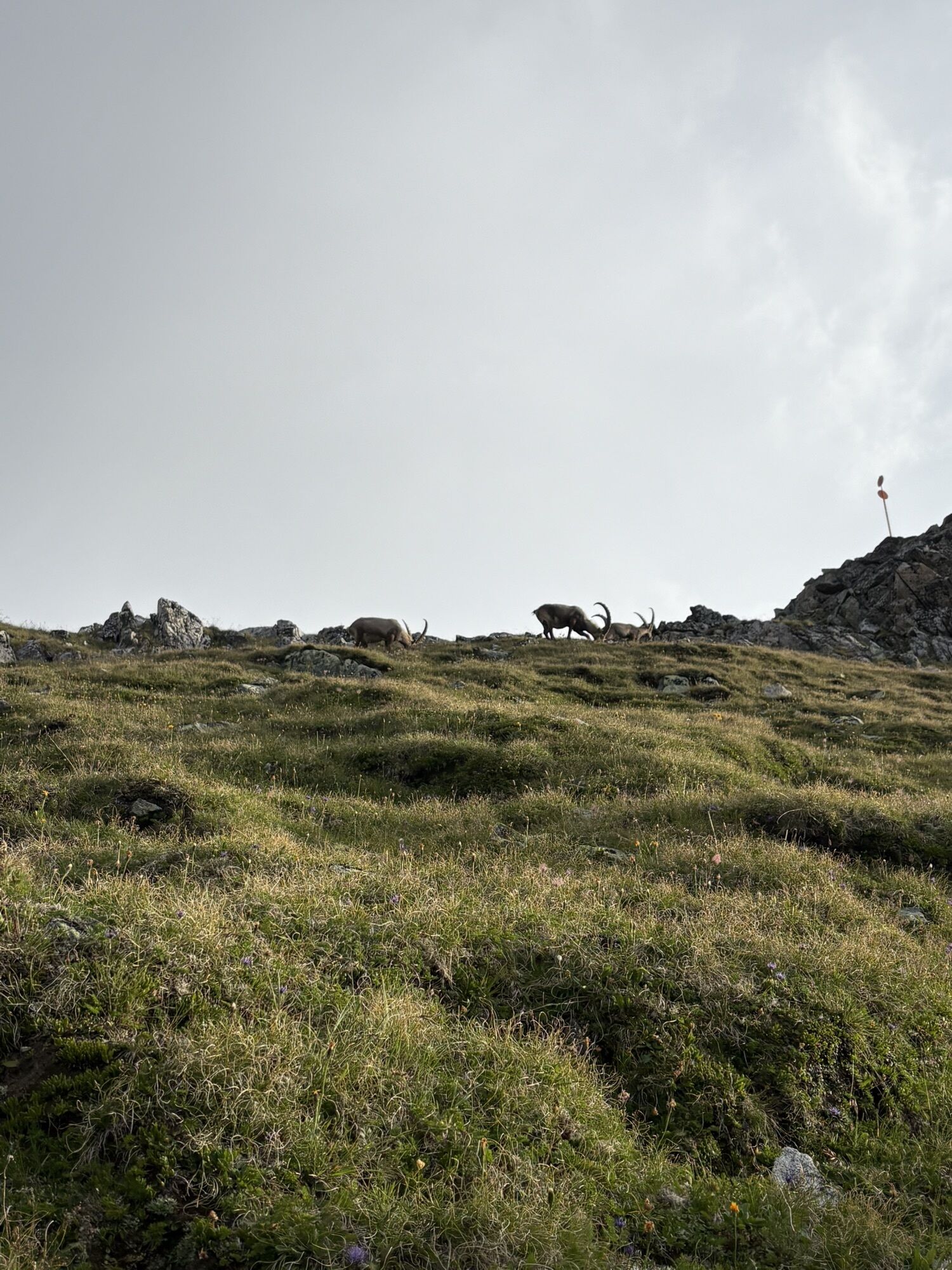
IBEX GOULASH AFTER A STRENUOUS ALPINE HIKE
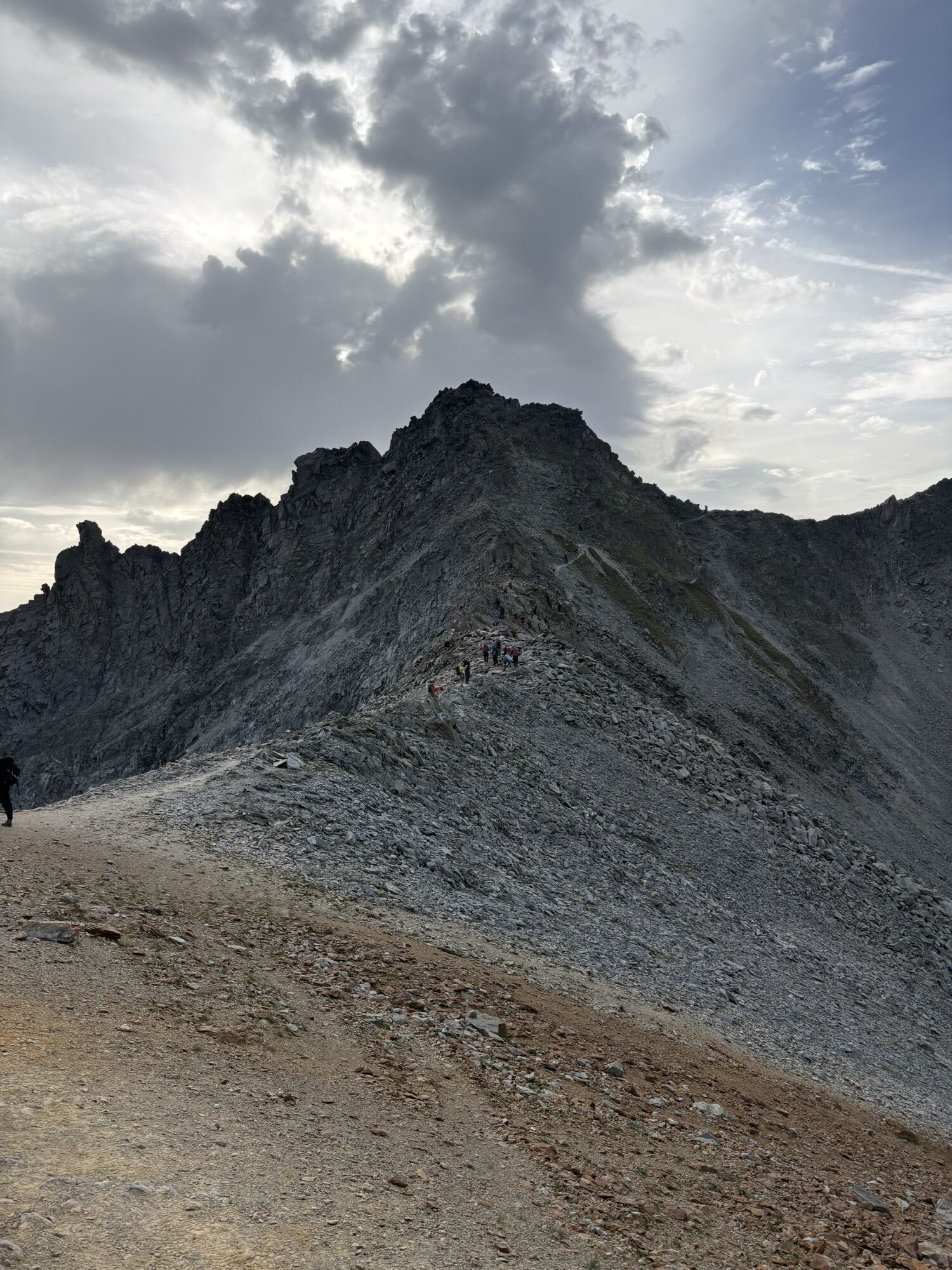
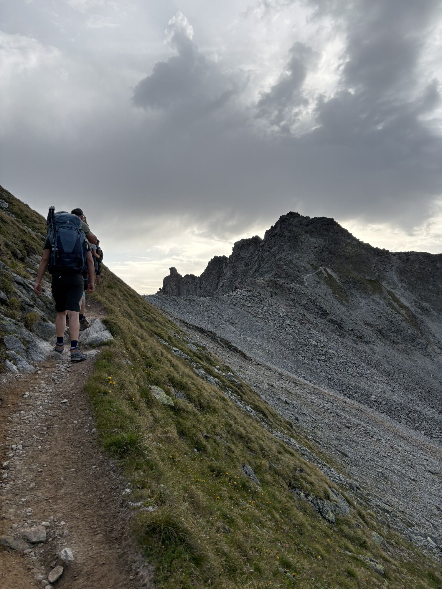
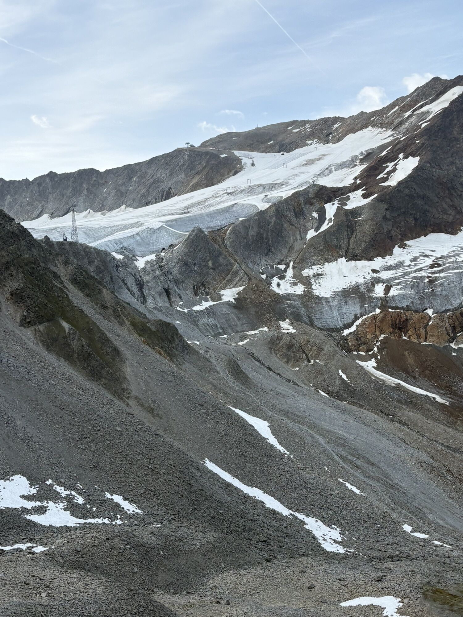
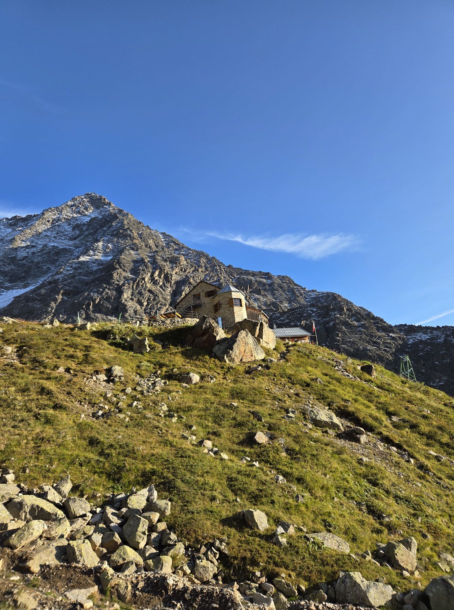
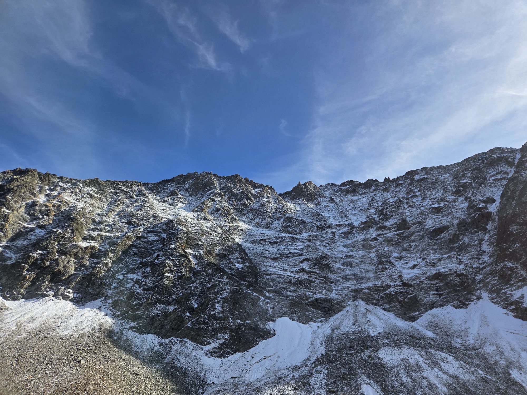
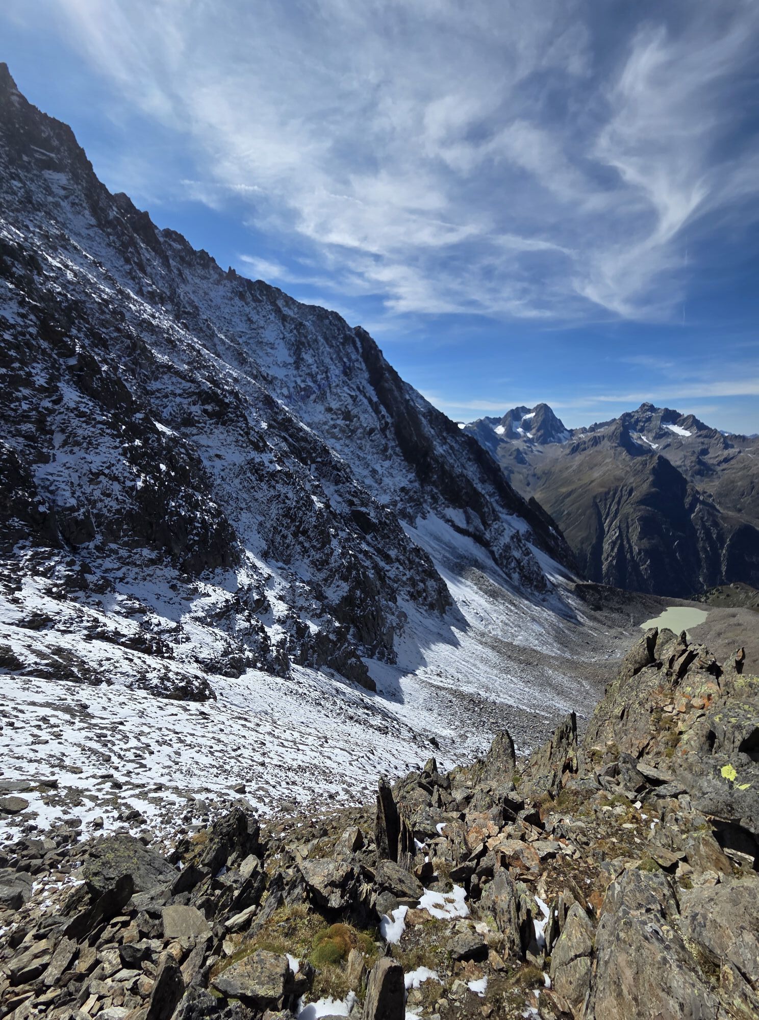
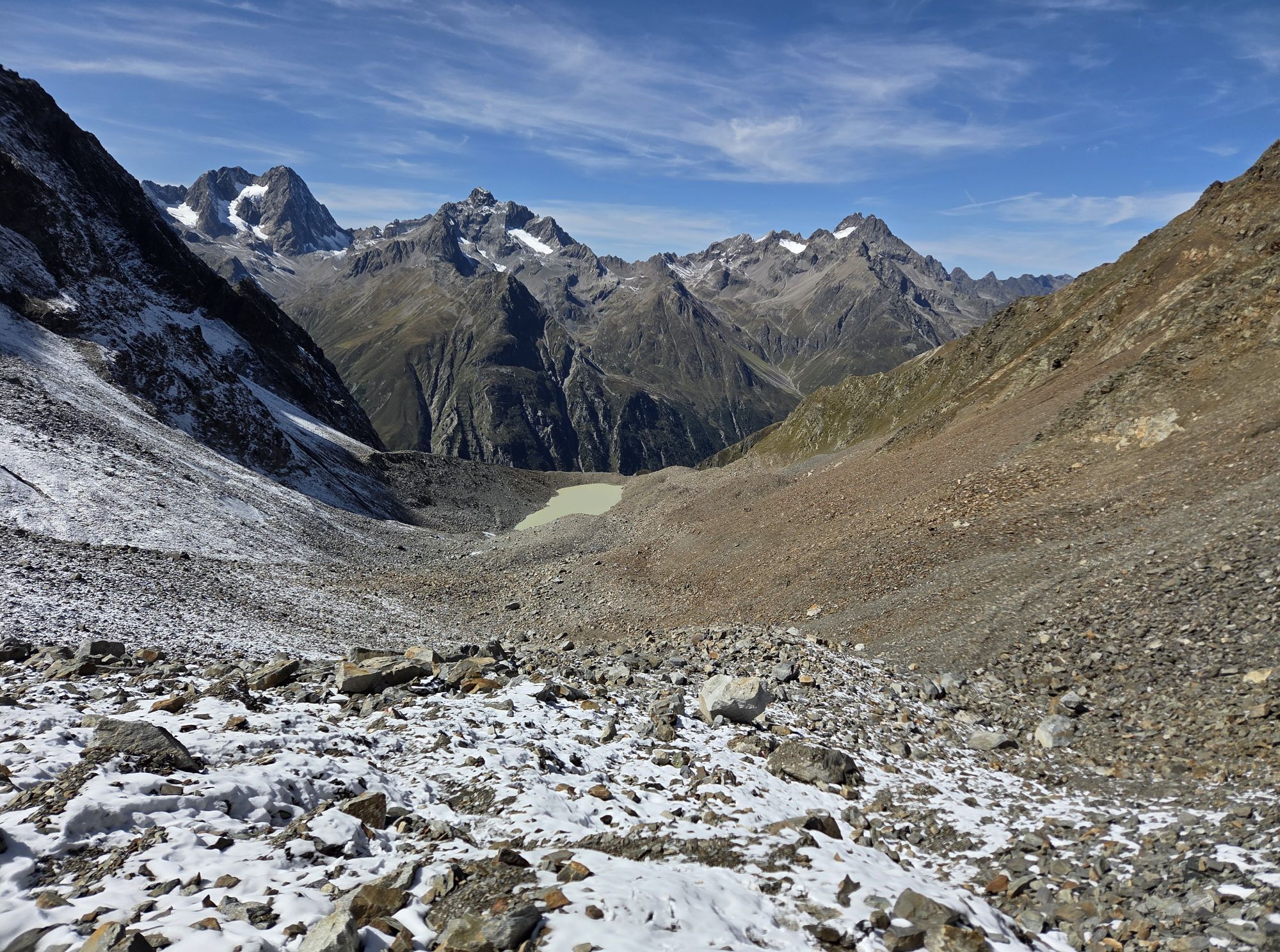
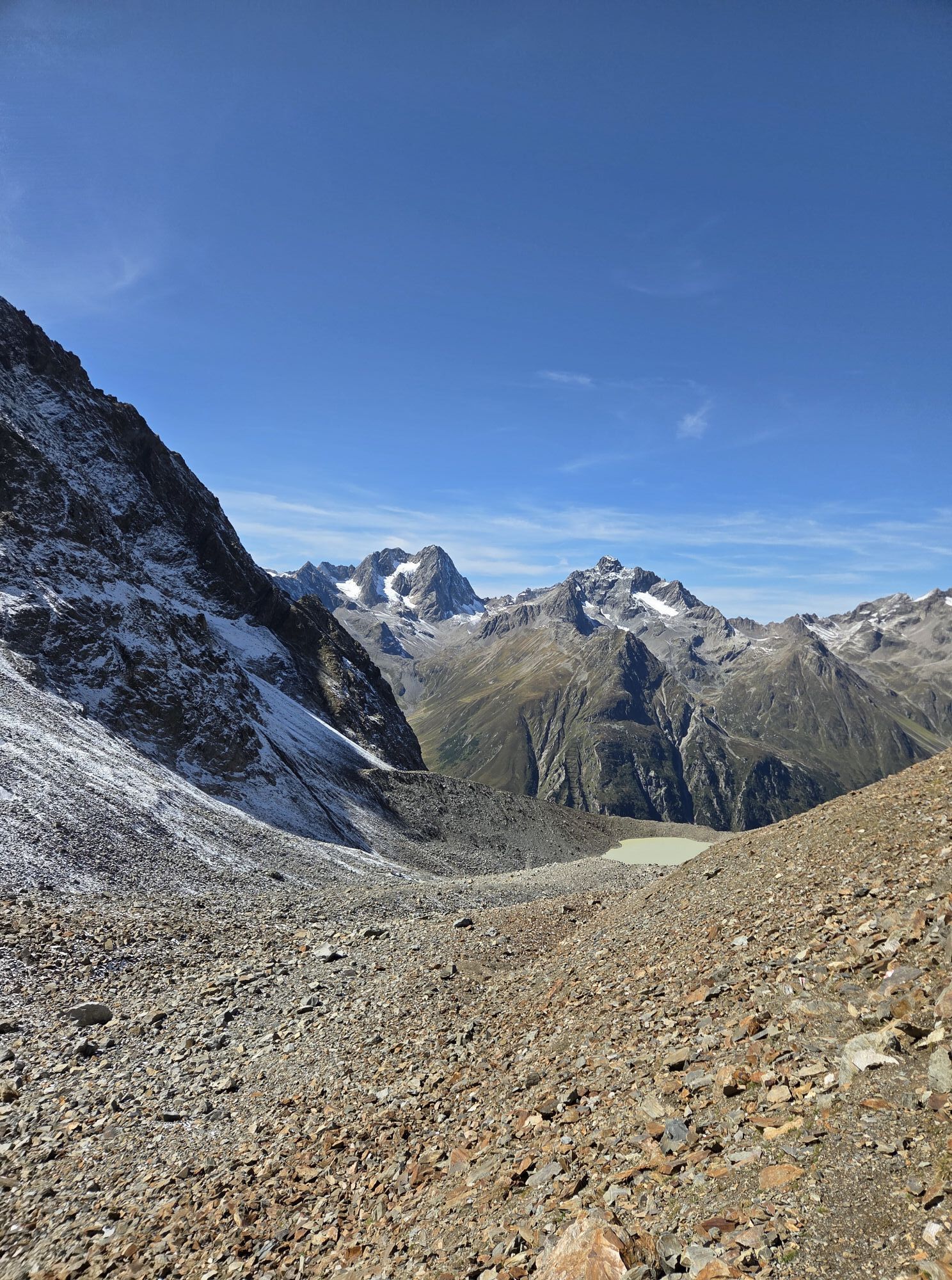
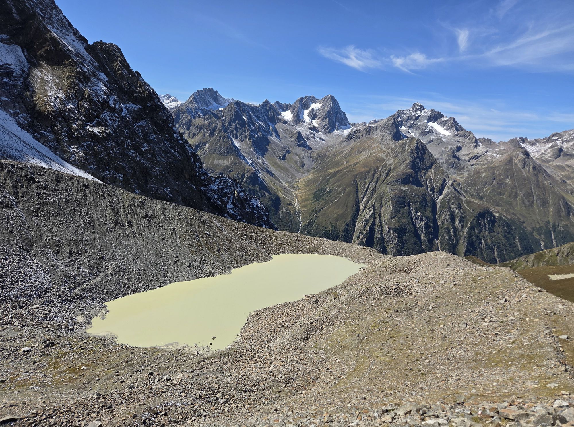
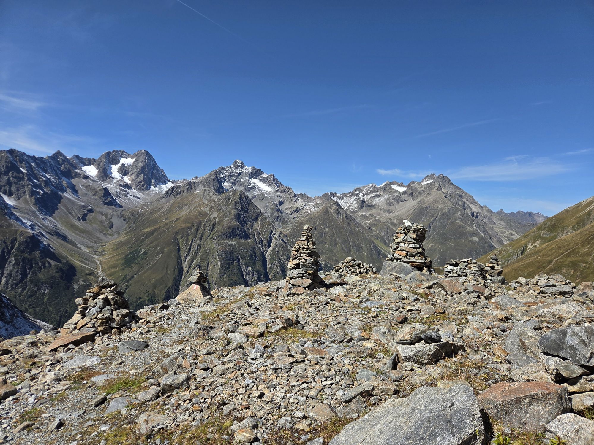
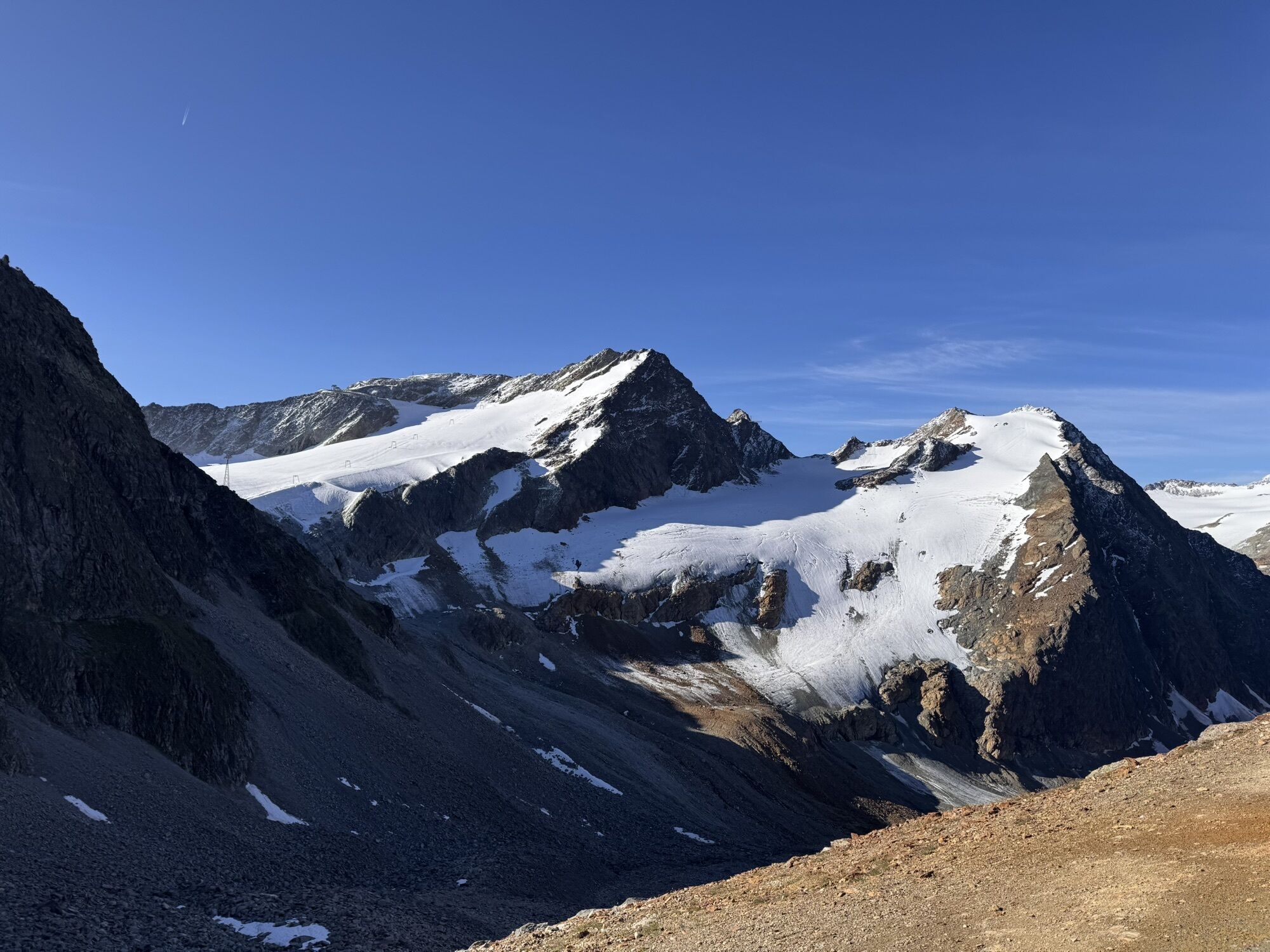
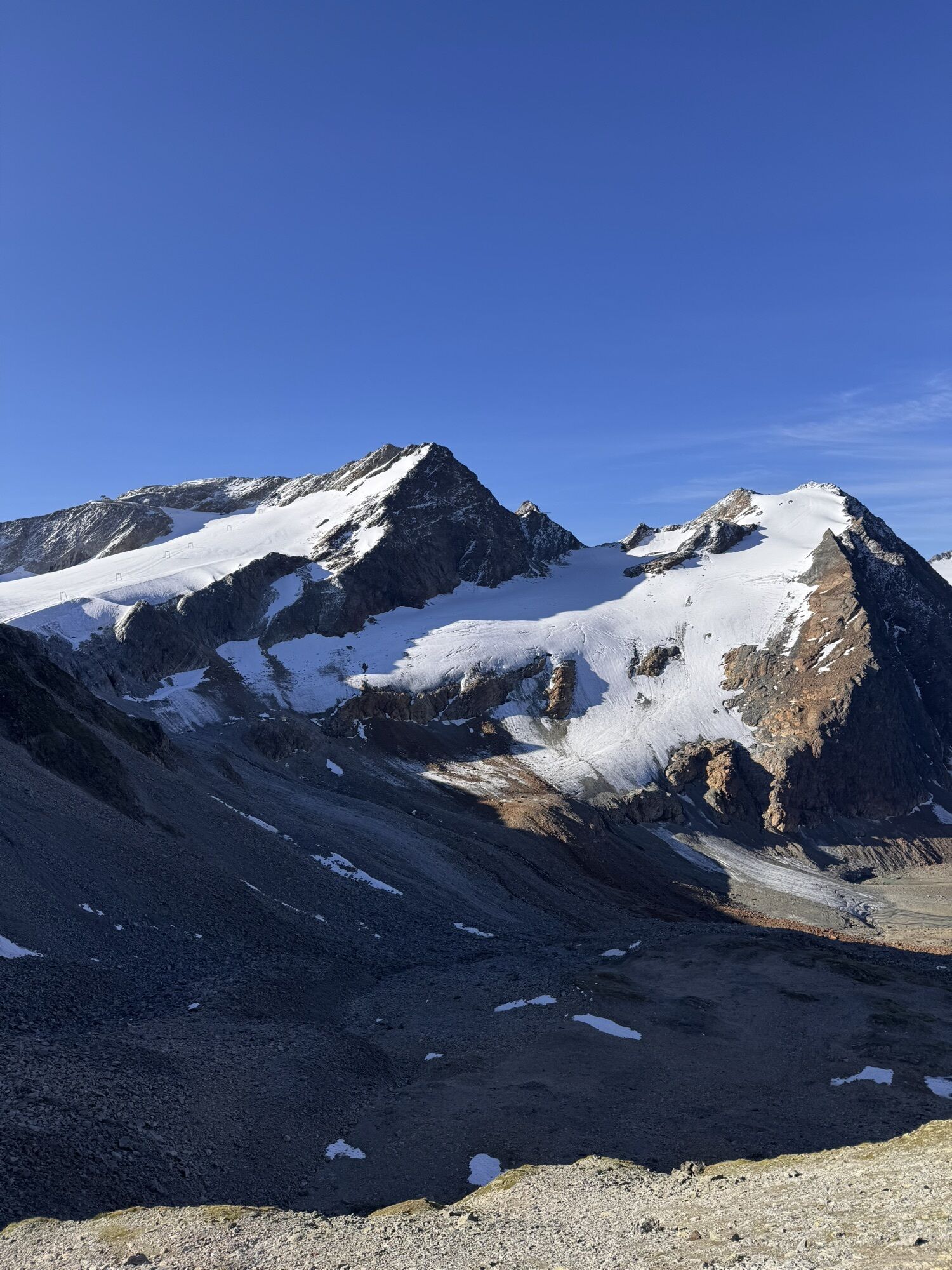
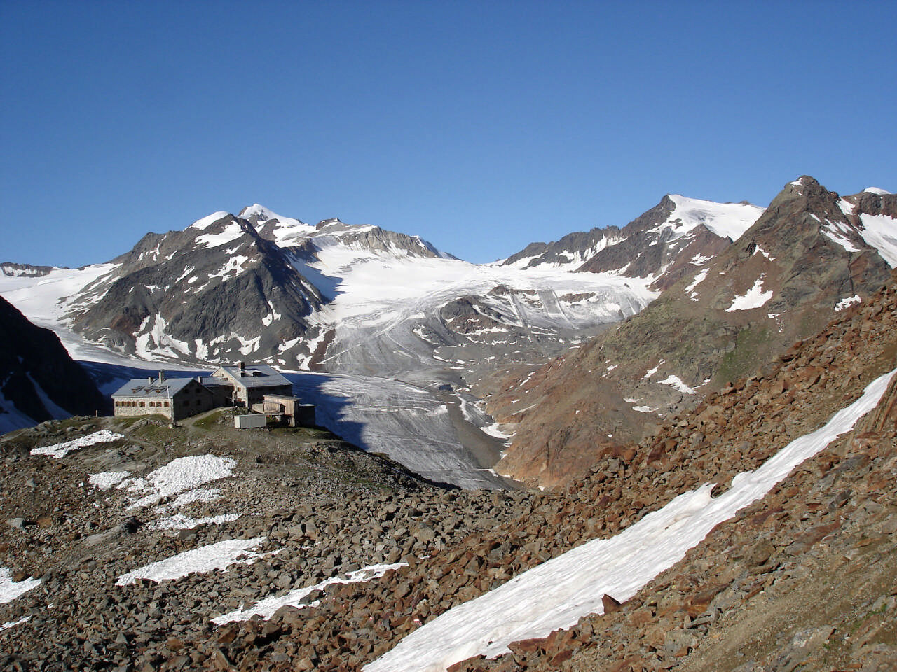
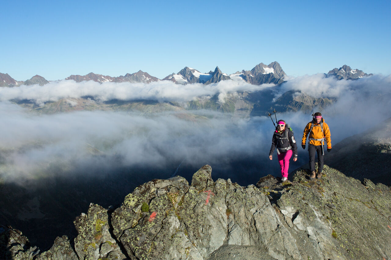
Three peaks higher than three thousand meters are crossed here on Geigenkamm ridge. Walk uphill from Braunschweiger Hütte and follow the route below Pitztaler Jöchl to the left, then down into Silbergrube basin. The route permanently ascends and descends along the wide ridge. Scenic Wurmsitzkogl (3079 m) and Gschrappkogl (3197 m) are the first three thousand meter high peaks you climb on this tour. Followed by splendid Wassertalkogl (3252 m) on which you can find the orange-colored Rheinland-Pfalz bivouac (free use) for 12 people. When descending from Wassertalkogl, three glacier fields must be crossed. Afterwards a short scramble stage takes you back to a hiking trail.
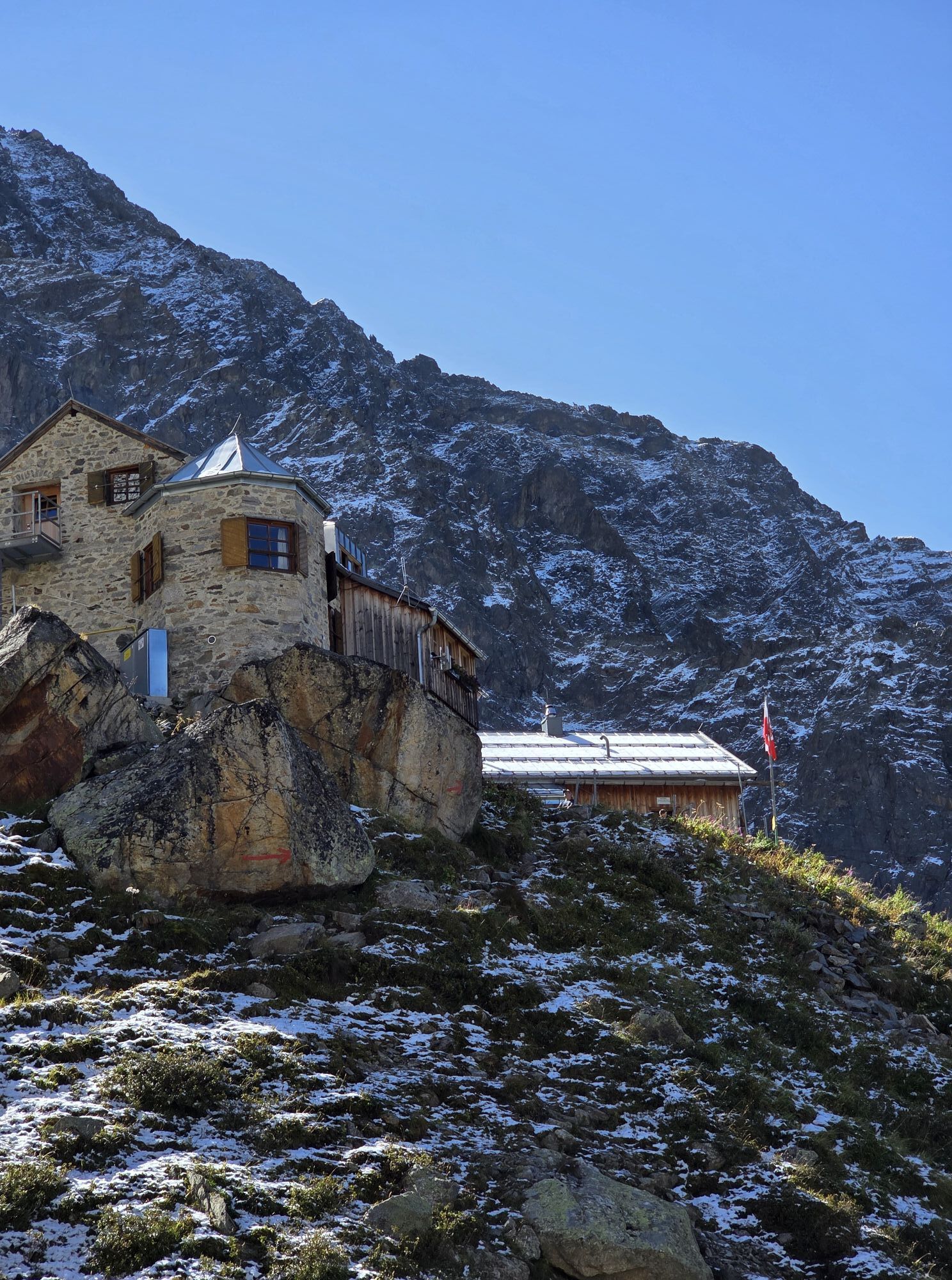
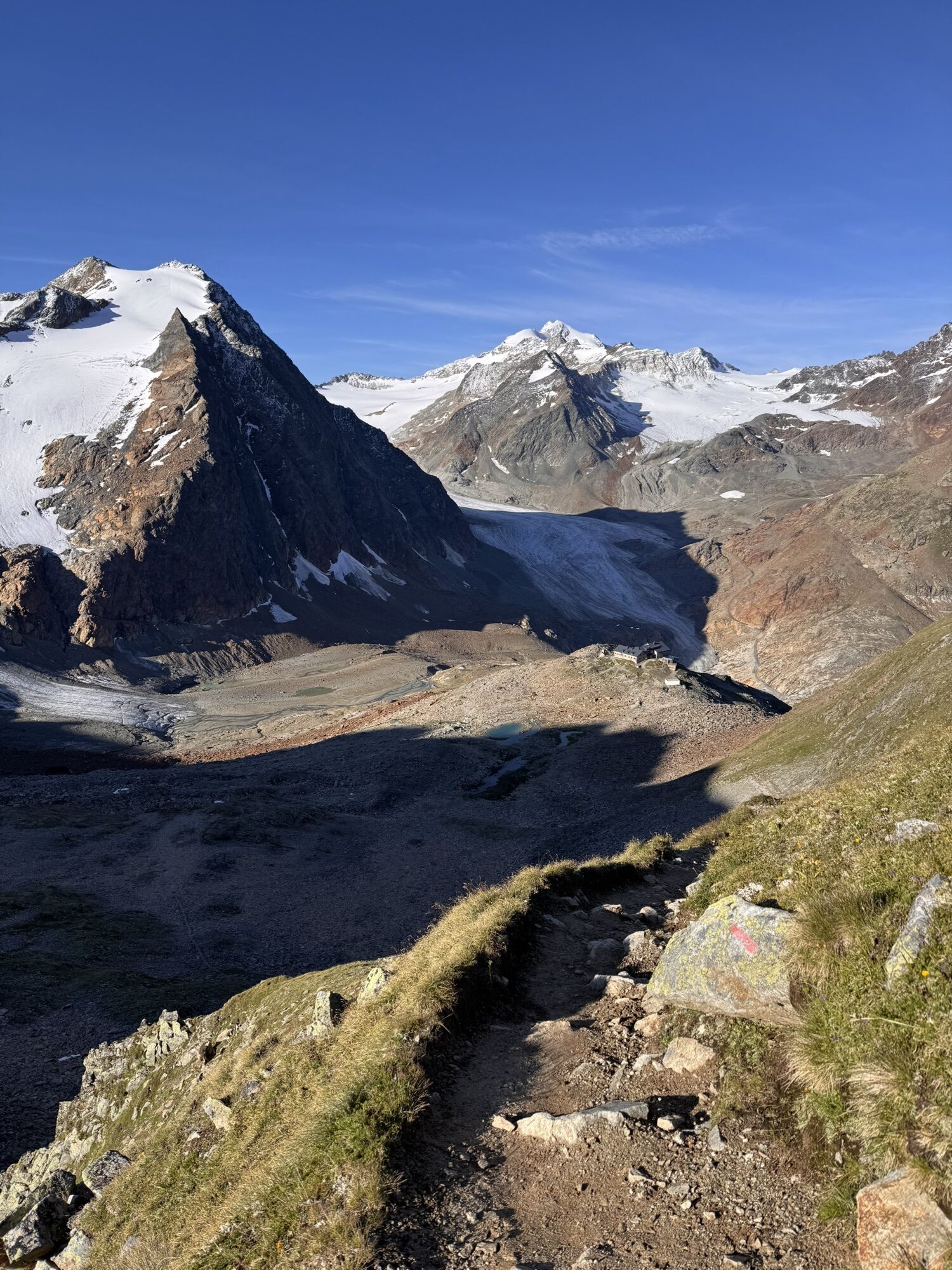
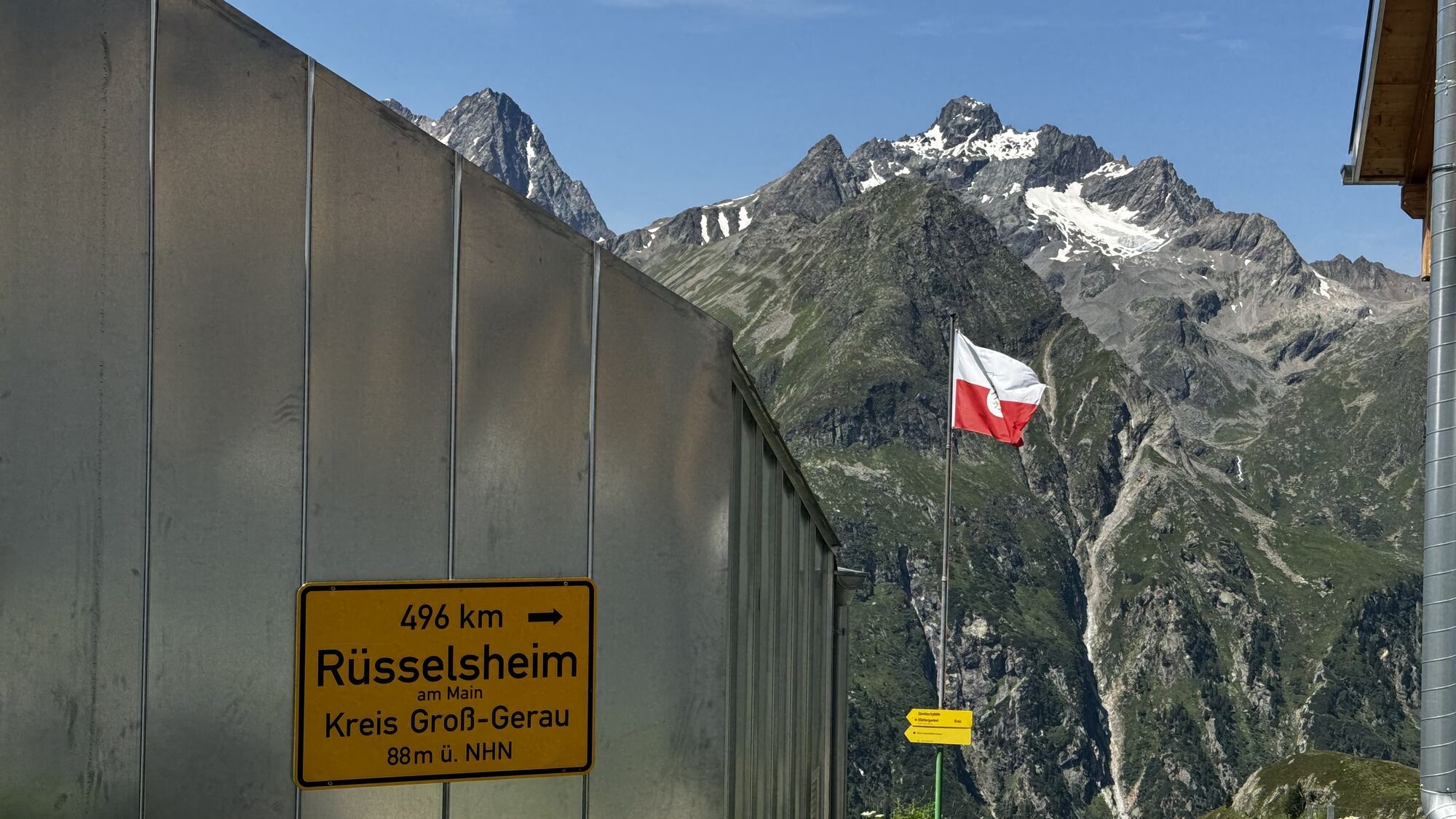
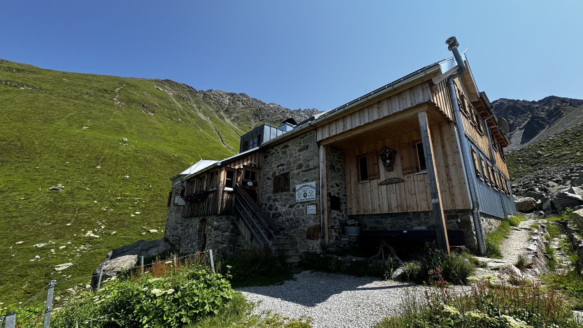
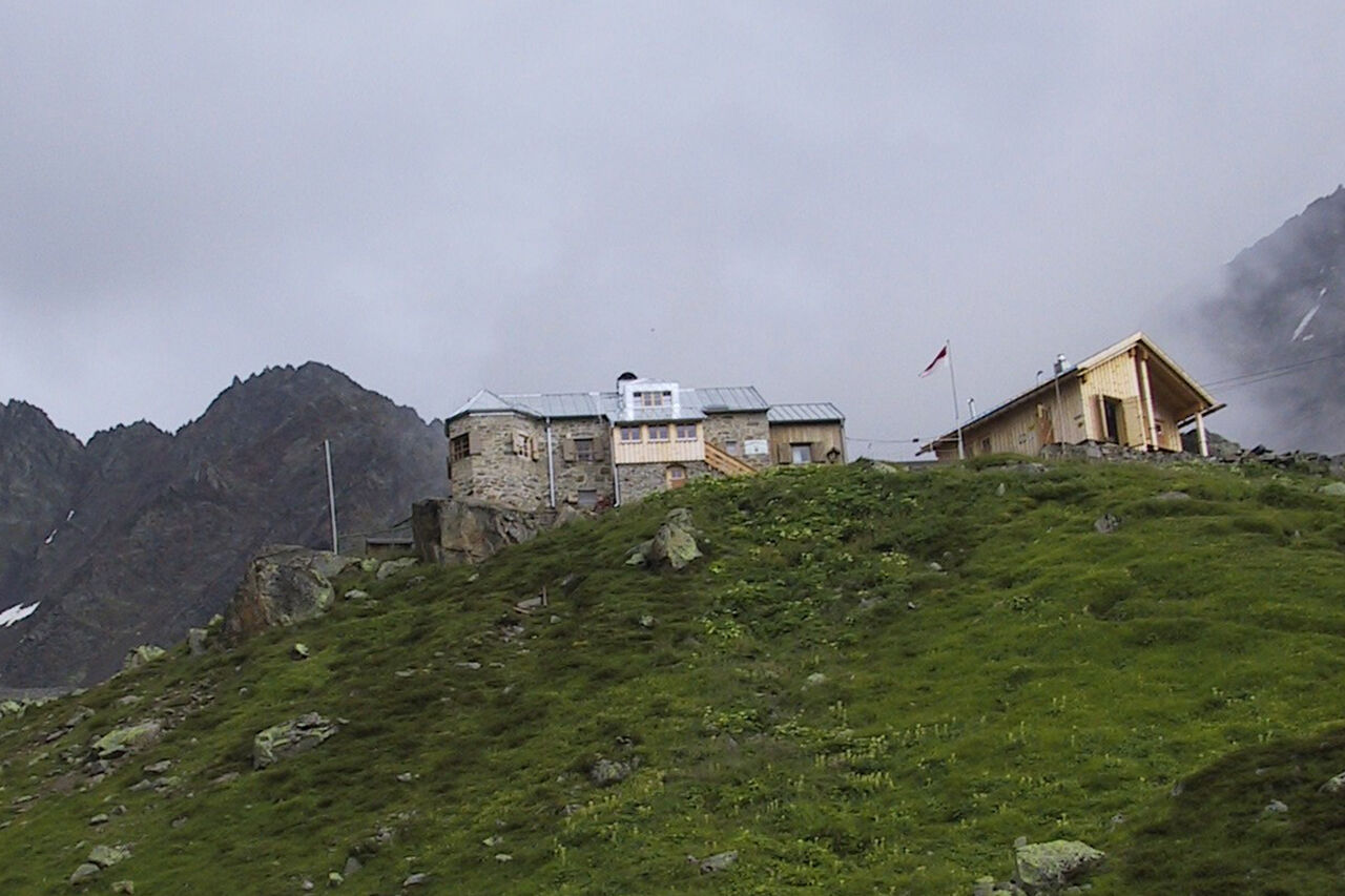
The path leads down to Weißmaurachjoch saddle and cirque, where you reach Rüsselsheimer Hütte after about 10 challenging hours.
Ice axe, crampons, rope | Mountain guide recommended.
Extremely long tour, multiple glacier crossings (crevasses), secured passages; stable weather conditions especially important; mountain guide recommended
The car drive to the Ötztal valley. Situated in Tirol, the Ötztal valley set off in southerly direction and is the longest side valley in the Eastern Alps. The journey with the car leads you through the Inntal valley to the entrance of the valley and further on through the valley. Among the toll motorways you can also use the country roads. A route planner will show you the easiest and most convenient way: www.google.at/maps
- Parking lot
- parking lot Stiegele
- stair parking
- Giggijochbahn + underground garage
- Gaislachkoglbahn + underground garage
- Parking Hochsölden
- parking garage Hochsölden 1. parking lot
- parking Zwieselstein
- parking Zwieselstein / sports ground
All parking is chargeable
Parking for several days (eg hike tour):
- car par Gaislachkoglbahn | Parkticket either online or directly at the cash desk of the Gaislachkoglbahn
T6
... Mainzer Höhenweg high elevation trail leads across five peaks higher than 3000 meters and three glaciers?
More details about hiking In Ötztal: www.oetztal.com/hiking
Získejte přehled Vždy živě na místě s více než 9 500 webkamerami. bergfex Jako uživatel Pro si nyní můžete zobrazit odpovídající webové kamery pro mnoho prohlídek v aplikaci prohlídky z. Můžete si tak přímo prohlédnout aktuální podmínky. Oblíbené prohlídky v okolí
- 4.7
Winter circular route Brandalm/Burgstein - Längenfeld 204
středníZimní turistika 5.44 km - 4.4
Rundwanderung Hängebrück3
světloTuristika 6.32 km - 4.3
Amberger Hut - Längenfeld/Gries
středníTuristika 5.60 km - 4.4
Hochtour Wildspitze, 3.768m
středníVysokohorská turistika 9.75 km - 4.4
Vent - Wilder Mann - Breslauer Hütte - Stableinalm
středníTuristika 7.25 km - 3.8
Breslauer Hut
středníTuristika 4.75 km - 3.1
Tiefenbachglacier - Mountaineering Village Vent
středníTuristika 10.8 km - 4.1
Hohe Geige über Gawinden und den Westgrat
heavyTuristika 14.3 km - 5.0
Nissl Alm - Längenfeld/Gries
světloTuristika 5.17 km - 5.0
Obergurgl - Ramolhaus
Turistika 7 km
Pěší turistika a stopování


Nenechte si ujít nabídky a inspiraci pro vaši příští dovolenou
Vaše e-mailová adresa byl přidán do poštovního seznamu.





