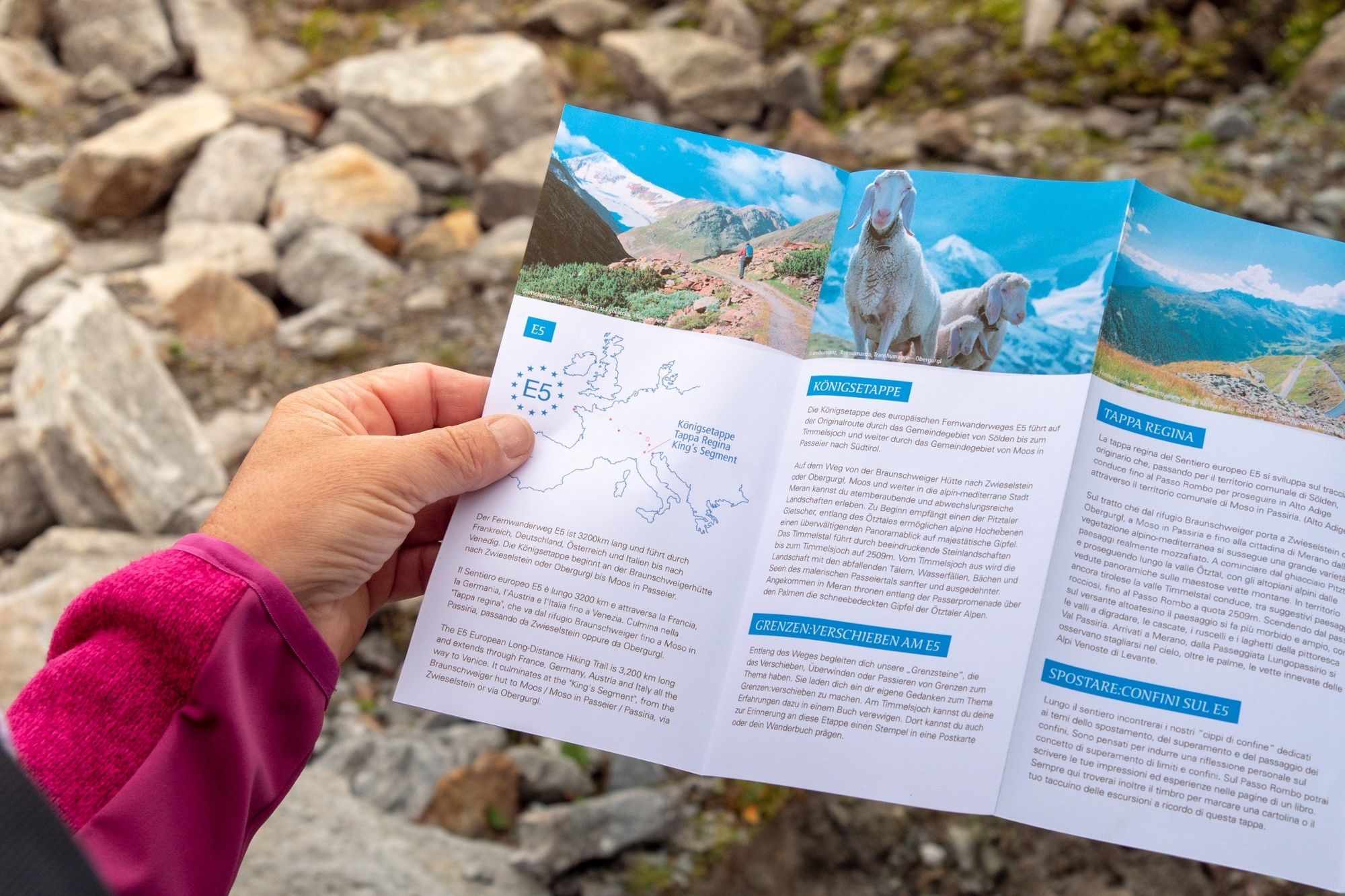
European E5 long-distance hiking trail – King’s Segment – Braunschweiger Hut to Zwieselstein (original route)
heavy
Navigace na stránkách
Navigace na stránkách
Pořiďte si tuto prohlídku do mobilního telefonu
European E5 long-distance hiking trail – King’s Segment – Braunschweiger Hut to Zwieselstein (original route)
heavy
dálková pěší trasa
16.47
km
Naskenujte QR kód a spusťte navigaci v aplikaci bergfex.

Pěší turistika a stopování


European E5 long-distance hiking trail – King’s Segment – Braunschweiger Hut to Zwieselstein (original route)
heavy
Vzdálenost
16.47
km
Doba trvání
06:10
h
Ascent
265
hm
Hladina moře
1454 -
2985
m
Stažení skladby
European E5 long-distance hiking trail – King’s Segment – Braunschweiger Hut to Zwieselstein (original route)
heavy
dálková pěší trasa
16.47
km
Fotografie našich uživatelů
 © DeJuBLNVytvořeno dne 18.07.2025
 © DeJuBLNVytvořeno dne 18.07.2025
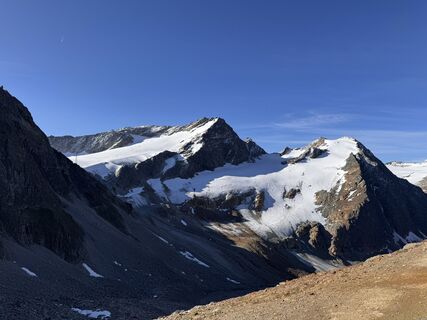 © DeJuBLNVytvořeno dne 18.07.2025
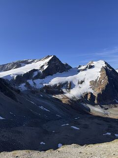 © DeJuBLNVytvořeno dne 18.07.2025
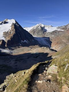 © DeJuBLNVytvořeno dne 18.07.2025
 © Marcel ZurkirchenVytvořeno dne 10.07.2025
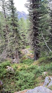 © Marcel ZurkirchenVytvořeno dne 10.07.2025
 © MichaelVytvořeno dne 21.06.2025
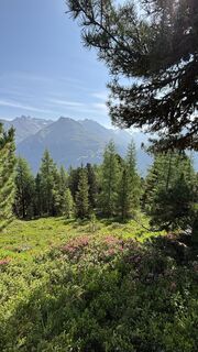 © MichaelVytvořeno dne 21.06.2025
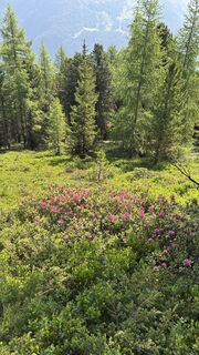 © MichaelVytvořeno dne 21.06.2025
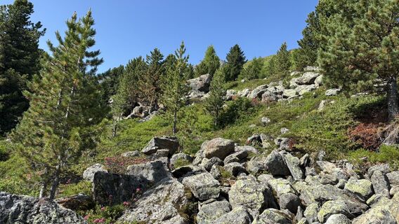 © MichaelVytvořeno dne 21.06.2025
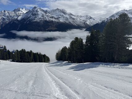
 © Carsten KühneVytvořeno dne 15.04.2026
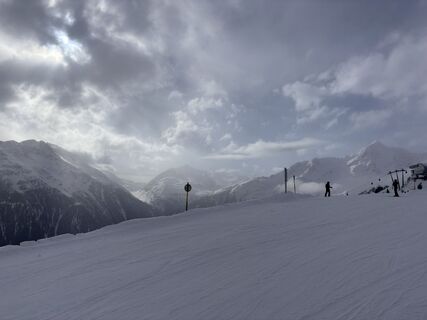 © dpweberVytvořeno dne 02.04.2026
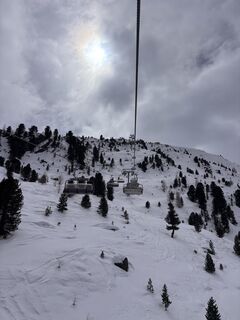 © dpweberVytvořeno dne 29.03.2026
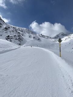
 © Tim Walter 1Vytvořeno dne 23.03.2026
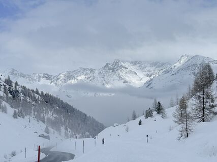 © sam1007Vytvořeno dne 15.03.2026
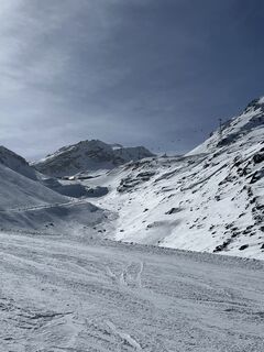
 © Agnieszka ScholzVytvořeno dne 06.03.2026
 © Peter NinauszVytvořeno dne 22.02.2026
 © Peter NinauszVytvořeno dne 22.02.2026
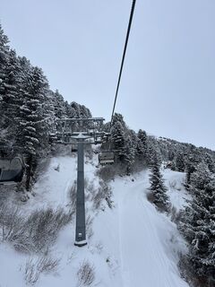
 © JBERNERVytvořeno dne 16.02.2026
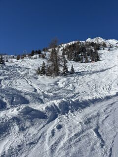
 © Andreas WiborgVytvořeno dne 30.01.2026
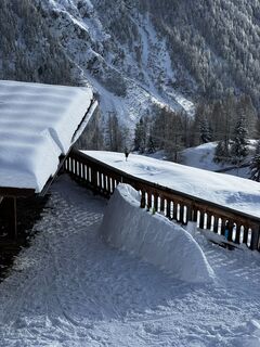 © Tim SchefflerVytvořeno dne 29.01.2026
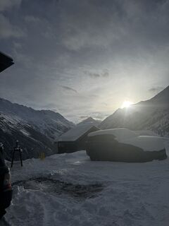 © Tim SchefflerVytvořeno dne 26.01.2026
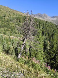
 © Karl-HeinzVytvořeno dne 03.09.2024


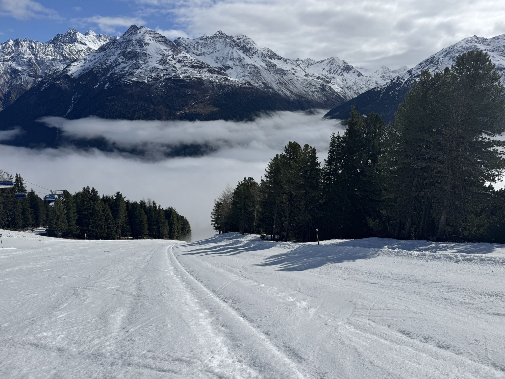
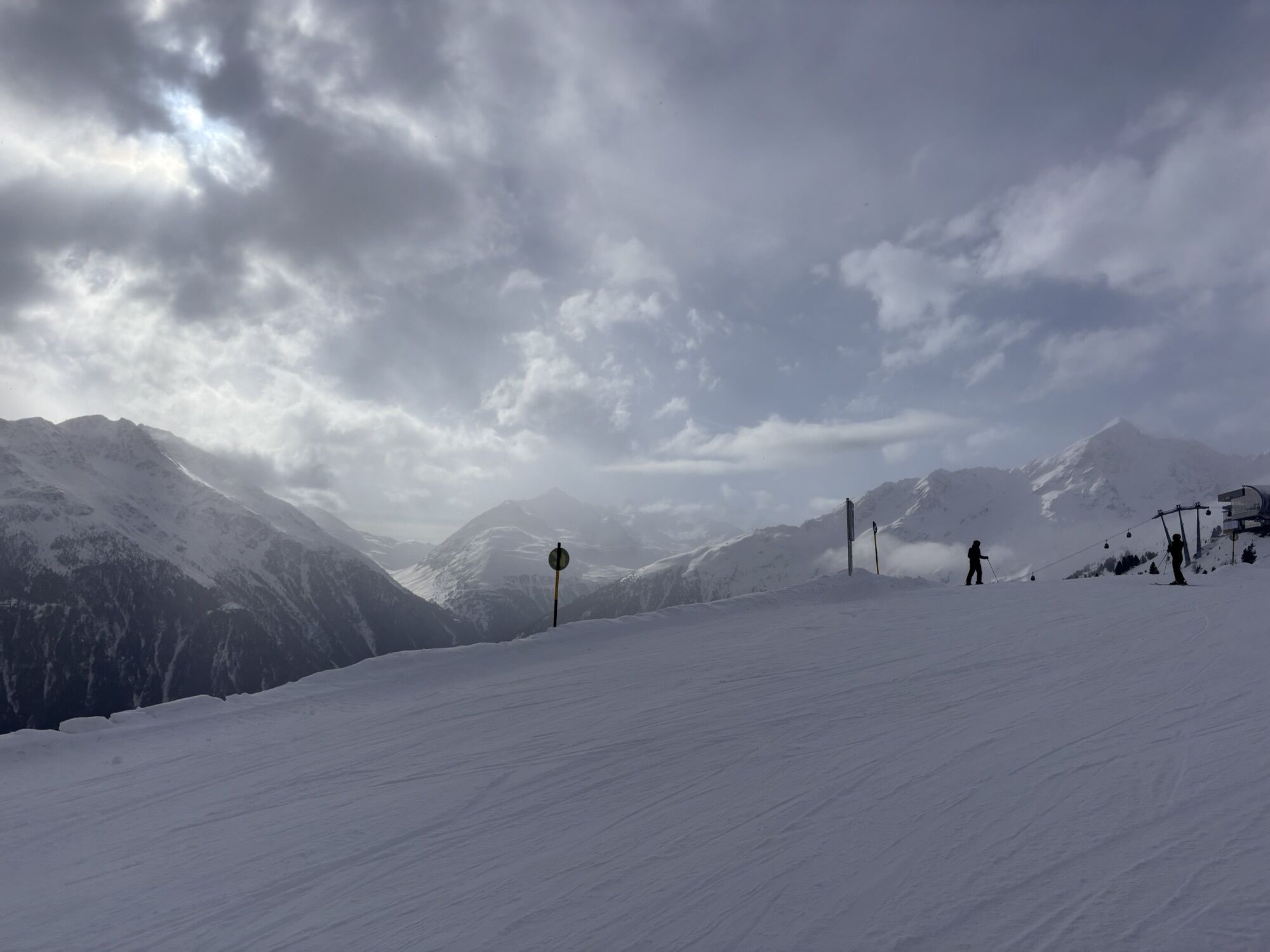
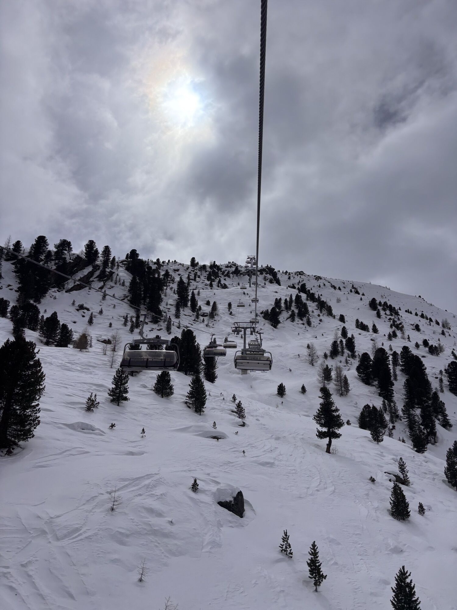
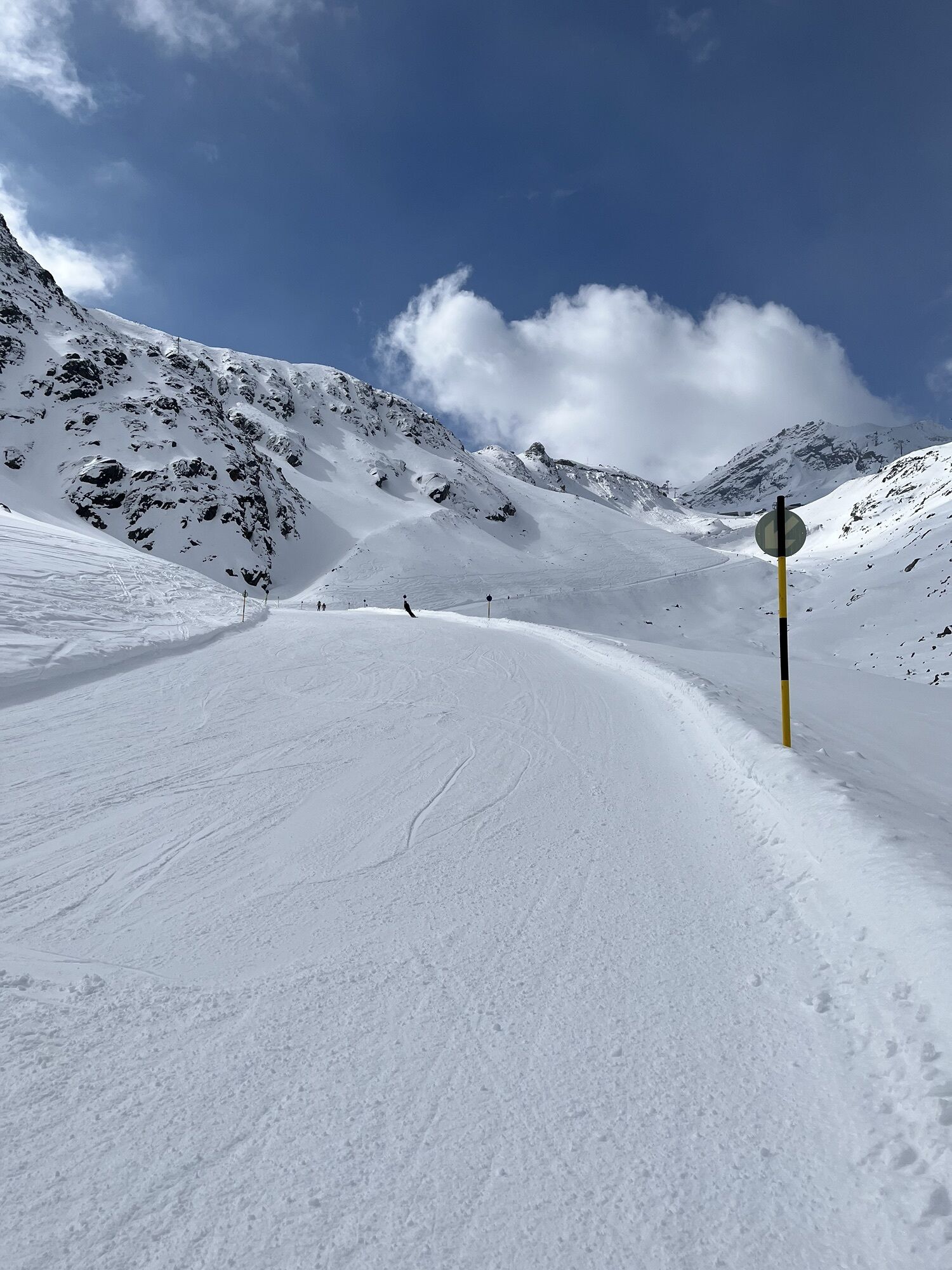
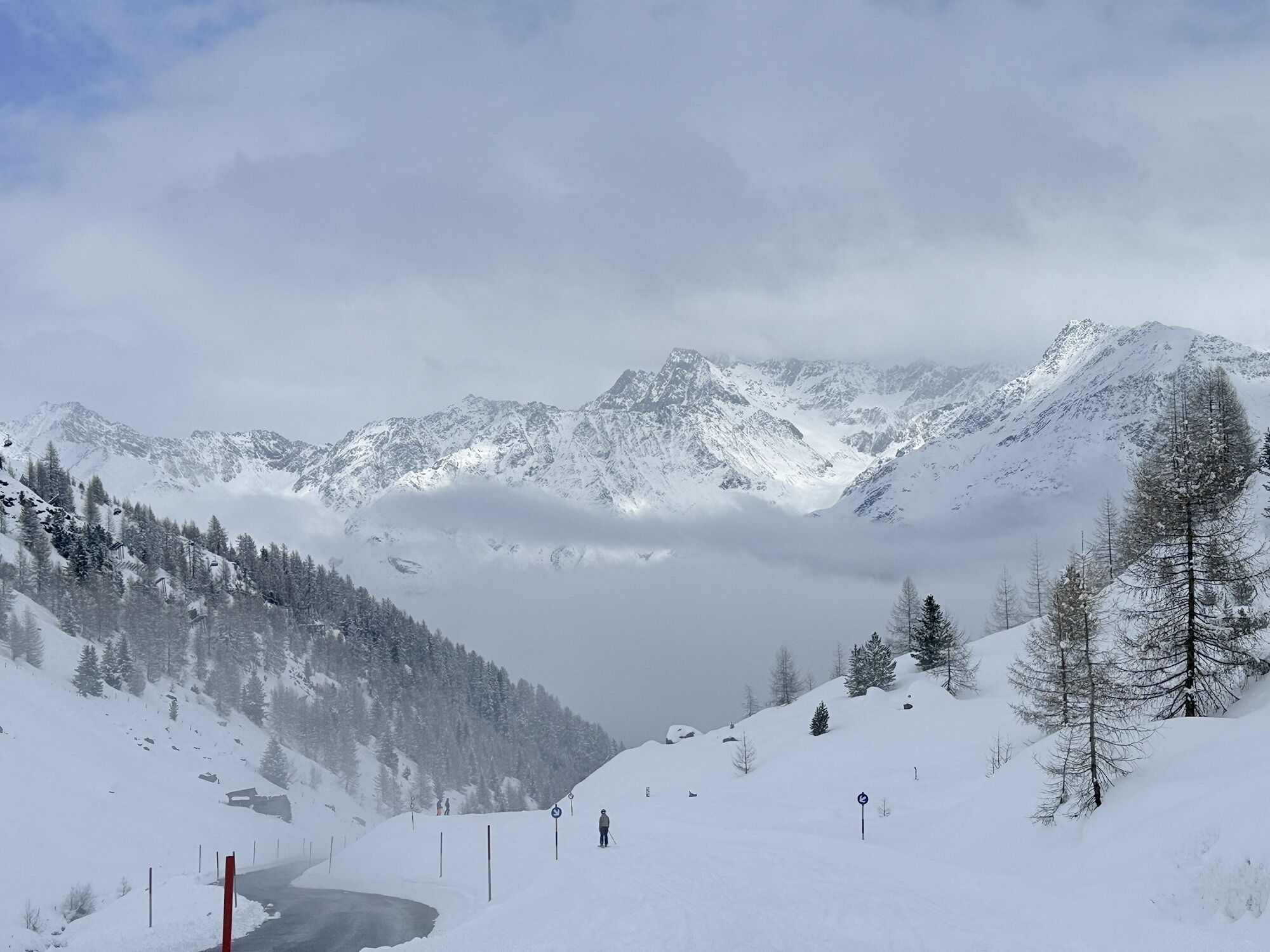


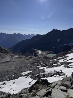
This particularly challenging segment of the trail starts at the Braunschweiger Hut (2,758 m) with a rather steep and difficult ascent to the Pitztaler Jöchl saddle (3,000 m), the highest point of this...
Popis
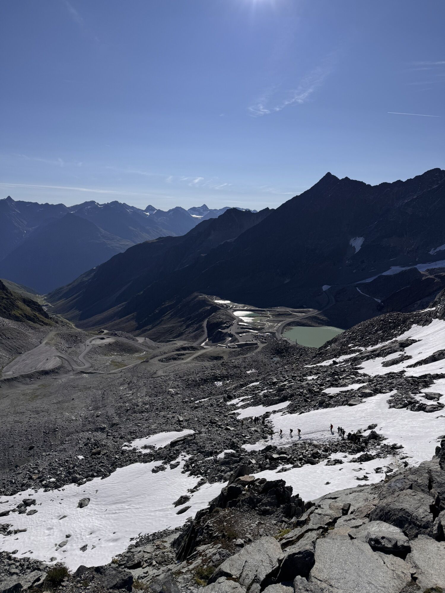
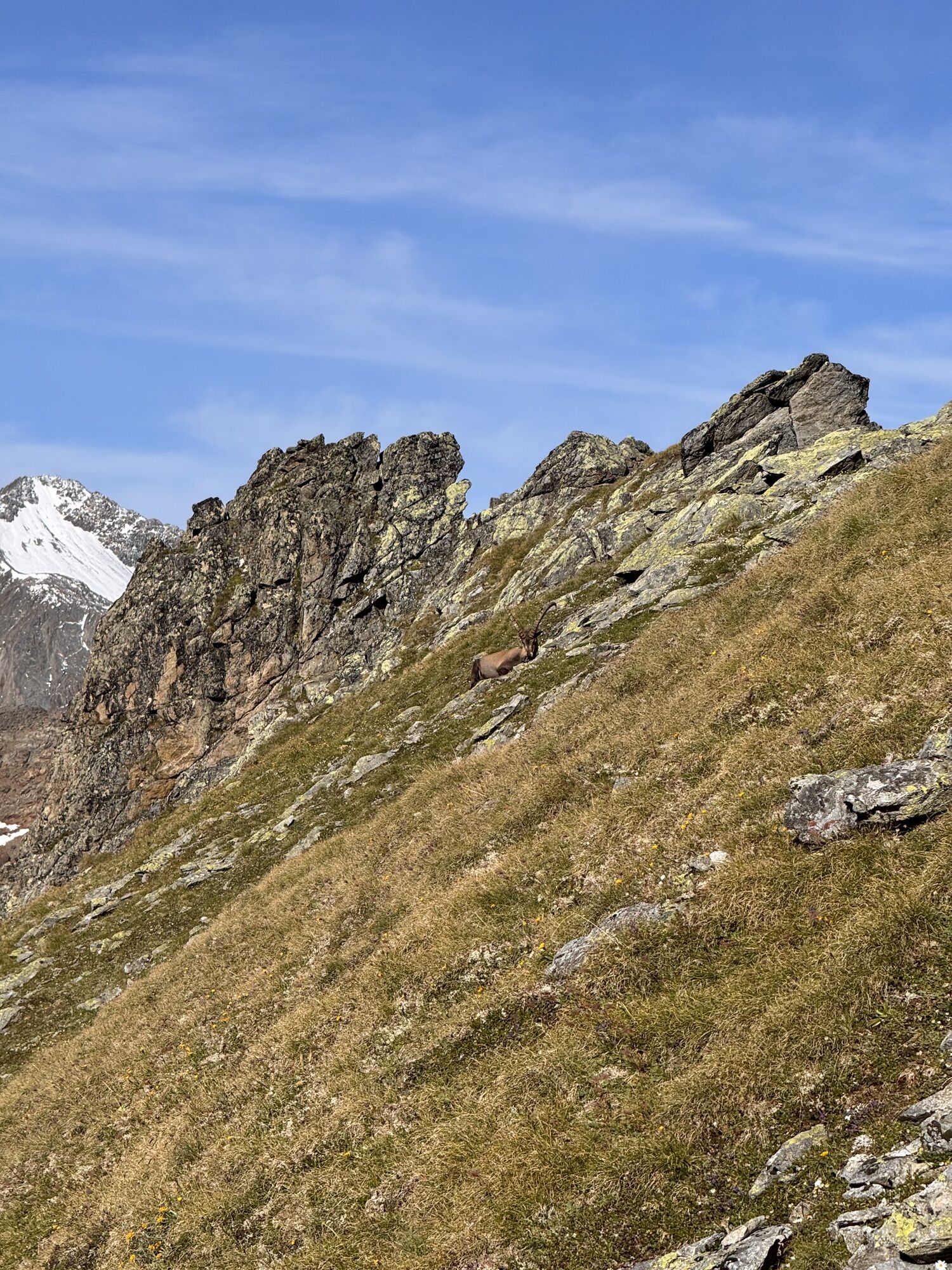
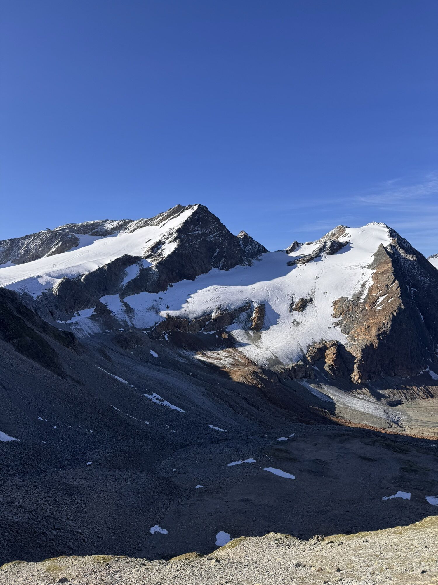
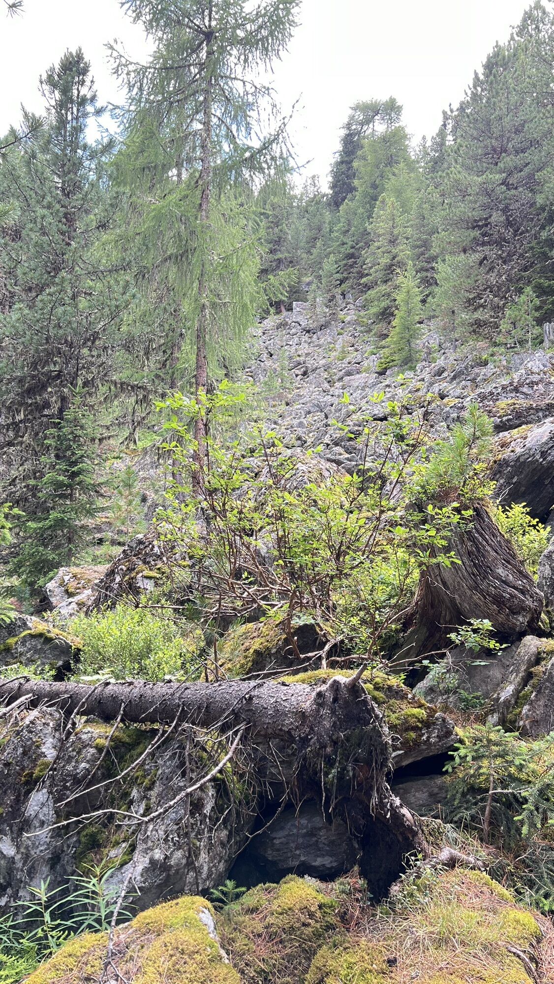
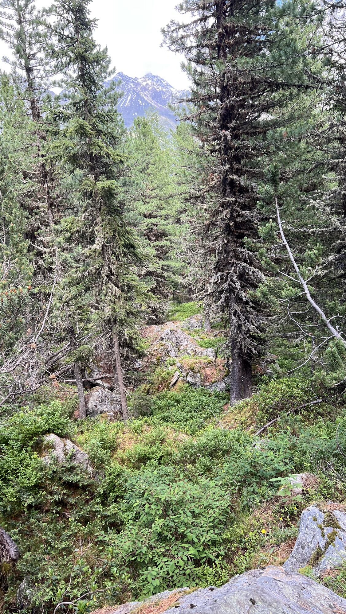
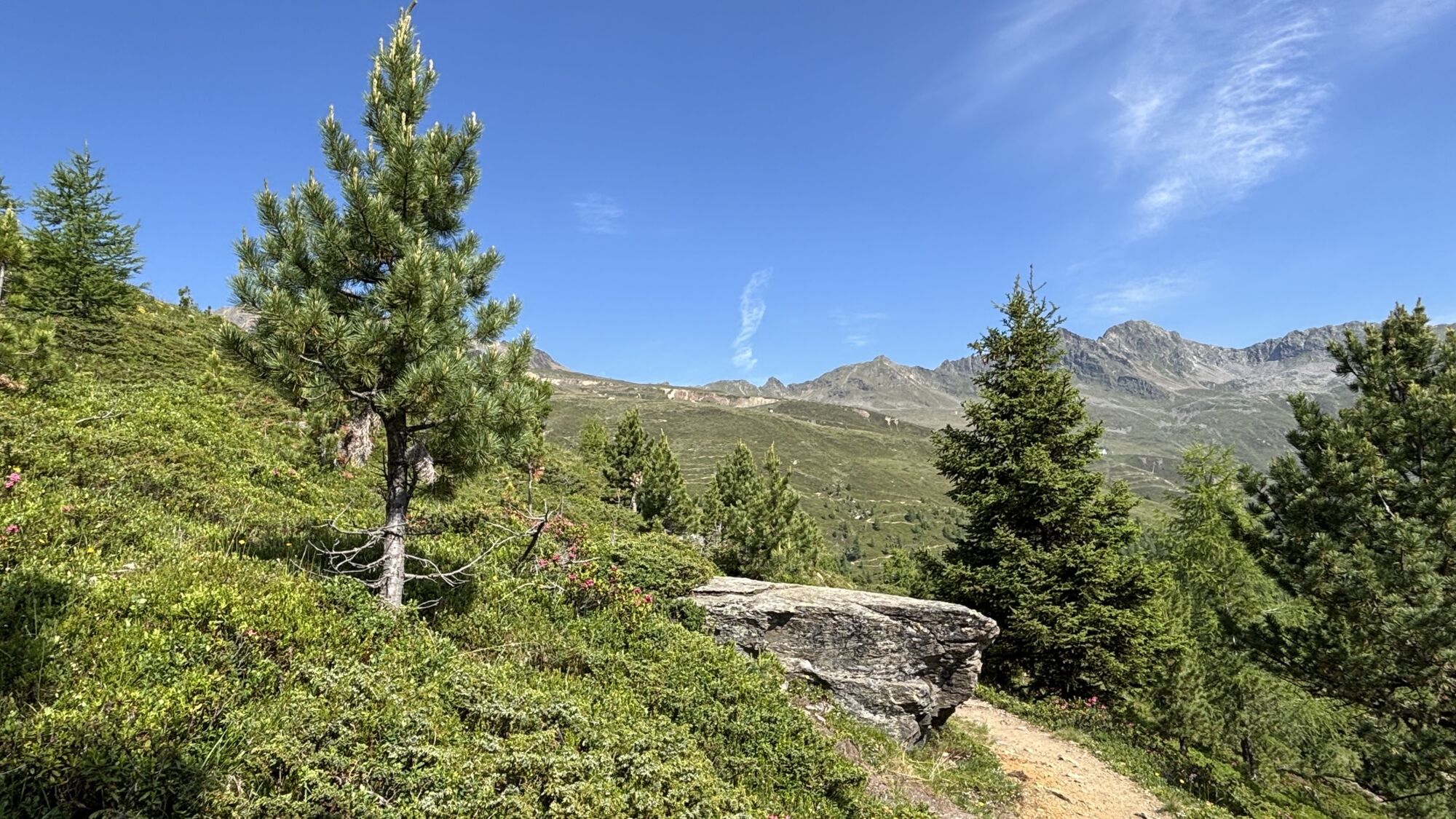
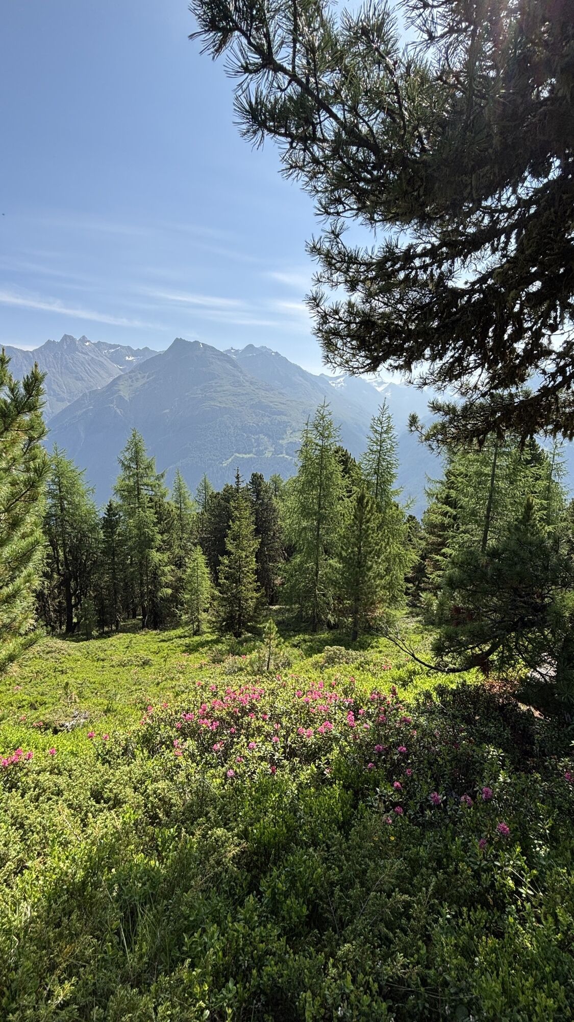
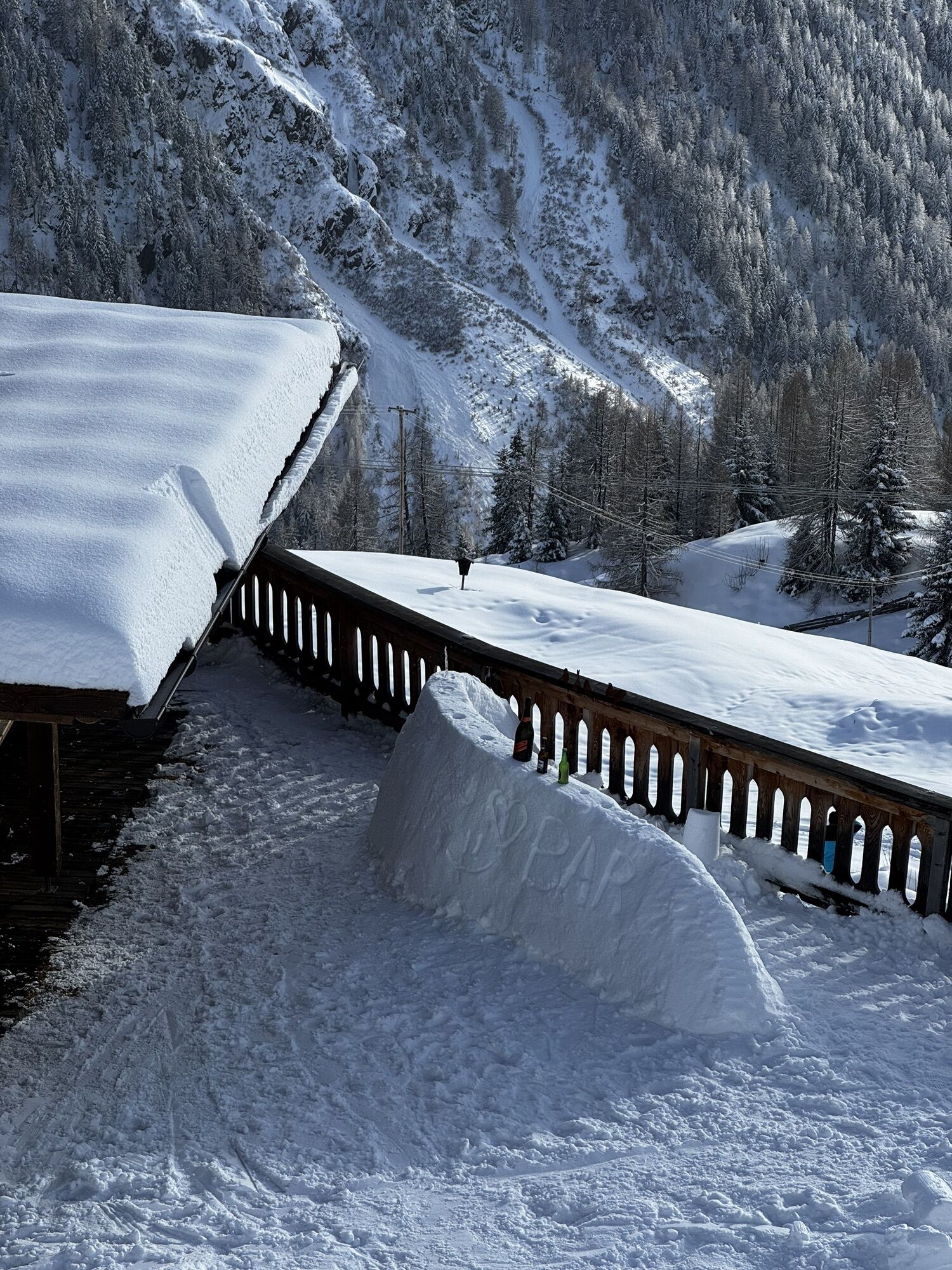
This particularly challenging segment of the trail starts at the Braunschweiger Hut (2,758 m) with a rather steep and difficult ascent to the Pitztaler Jöchl saddle (3,000 m), the highest point of this E5 segment. Once you reach the saddle, you will be rewarded with spectacular views of the Braunschweiger Hut, the Wildspitze mountain, the Rettenbachtal valley and the Riffelsee lake. You may encounter large snowfields in spring and early summer. There is an alternative shorter route via the Rettenbachjoch saddle. Both ways will take you to the Rettenbachferner glacier. From there, you will descend through the Rettenbachtal valley past luscious pastures and a little chapel to Zwieselstein (1,470 m).
Trasa
Braunschweiger Hütte
(2758 m)
Úkryt
0.0 km
Pitztaler Jochköpfle
(3023 m)
Summit
1.2 km
Gaislachalm
(1972 m)
Úkryt
11.7 km
Gaislachalm
(1961 m)
Sousedství
12.0 km
Mariahilfkapelle Gaislach
(1784 m)
Místo konání bohoslužeb
13.0 km
Brückenwirt
(1463 m)
Restaurace
16.2 km
Zwieselstein
(1470 m)
Vesnice
16.3 km
Trasa
European E5 long-distance hiking trail – King’s Segment – Braunschweiger Hut to Zwieselstein (original route)
heavy
dálková pěší trasa
16.47
km
Marienkapelle
(2751 m)
Místo konání bohoslužeb
0.0 km
Braunschweiger Hütte
(2758 m)
Úkryt
0.0 km
Pitztaler Jochköpfle
(3023 m)
Summit
1.2 km
Bergsteigerkapelle Sölden
(2675 m)
Místo konání bohoslužeb
3.1 km
Löple Alm
(1974 m)
Restaurace
10.8 km
Gaislachalm
(1972 m)
Úkryt
11.7 km
Gaislachalm
(1961 m)
Sousedství
12.0 km
Gasthaus Silbertal
(1970 m)
Restaurace
12.0 km
Gaislach
(1809 m)
Sousedství
12.9 km
Mariahilfkapelle Gaislach
(1784 m)
Místo konání bohoslužeb
13.0 km
Brückenwirt
(1463 m)
Restaurace
16.2 km
Zwieselstein
(1470 m)
Vesnice
16.3 km
Autor
Poskytuje Ötztal

Informace o příjezdu
Příjezd
The Ötztal is a southern side valley of the Inn valley. For your arrival by car, you can plan the best route from your home town with the route planner online at https://www.google.at/maps
Veřejná doprava
Enjoy a both comfortable and relaxing train ride to the train station in Ötztal Bahnhof. You get off the train in ÖTZTAL Bahnhof where you change to a public bus or local taxi. The current bus schedule can be found at: http://fahrplan.vvt.at
Zatím žádné recenze
Webové kamery z prohlídky
Seekogel
Gaislachkogel
Schwarze Schneidbahn
Tiefenbachgletscher
Rettenbachgletscher
Hochsölden
Sölden - Grünwald Resort
Top Mountain Crosspoint Hochgurgl
Top Mountain Crosspoint Hochgurgl
Top Mountain Crosspoint Hochgurgl
Top Mountain Crosspoint Hochgurgl
Top Mountain Crosspoint Hochgurgl
Sölden - Grünwald Resort
Giggijoch
Giggijoch
Giggijoch
Giggijoch
Giggijoch
Giggijoch
Giggijoch
Giggijoch
Top Mountain Crosspoint Hochgurgl
Schwarze Schneid Mittelstation
Sölden - Gaislachkogelbahn Mittelstation
Sölden - Schwarzkogl Talstation
Sölden - Tiefenbachkogl
Sölden
The Peak Sölden**** Chalets und Appartements
Oblíbené prohlídky v okolí
- 4.8
Vent - Kreuzspitze
Turistika 20.6 km - 4.3
Amberger Hut - Längenfeld/Gries
středníTuristika 5.60 km - 4.4
Hochtour Wildspitze, 3.768m
středníVysokohorská turistika 9.75 km - 4.7
Winter circular route Brandalm/Burgstein - Längenfeld 204
středníZimní turistika 5.44 km - 4.4
Rundwanderung Hängebrück3
světloTuristika 6.32 km - 3.1
Tiefenbachglacier - Mountaineering Village Vent
středníTuristika 10.8 km - 4.5
Vent - Wilder Mann - Breslauer Hütte - Stableinalm
středníTuristika 7.25 km - 4.1
Hohe Geige über Gawinden und den Westgrat
heavyTuristika 14.3 km - 5.0
Obergurgl - Ramolhaus
Turistika 7 km - 5.0
Nissl Alm - Längenfeld/Gries
světloTuristika 5.17 km
Pěší turistika a stopování

Více než 550.000 návrhů výletů, podrobné mapy a intuitivní plánovač tras dělají z aplikace nezbytnou výbavu pro všechny milovníky přírody.

Nenechte si ujít nabídky a inspiraci pro vaši příští dovolenou
Přihlaste se k odběru newsletteru
Chyba
Došlo k chybě. Zkuste to prosím znovu.Děkujeme za vaši registraci
Vaše e-mailová adresa byl přidán do poštovního seznamu.
Zájezdy po celé Evropě
Rakousko Švýcarsko Německo Itálie Slovenia Francie Nizozemsko Belgie Polsko Lichtenštejnsko Česko Slovensko Španělsko Chorvatsko Bosna a Hercegovina Lucembursko Andorra Portugal Iceland United Kingdom Ireland Greece Albania North Macedonia Malta Norway Montenegro Moldova Kosovo Hungary San Marino Romania Estonia Latvia Belarus Cyprus Lithuania Serbia Bulgaria Monaco Denmark Sweden Finland