







Ötztaler Urweg E8 Gaislach - Granstein

DELIGHTFUL ALMZEIT HIGH ABOVE SÖLDEN
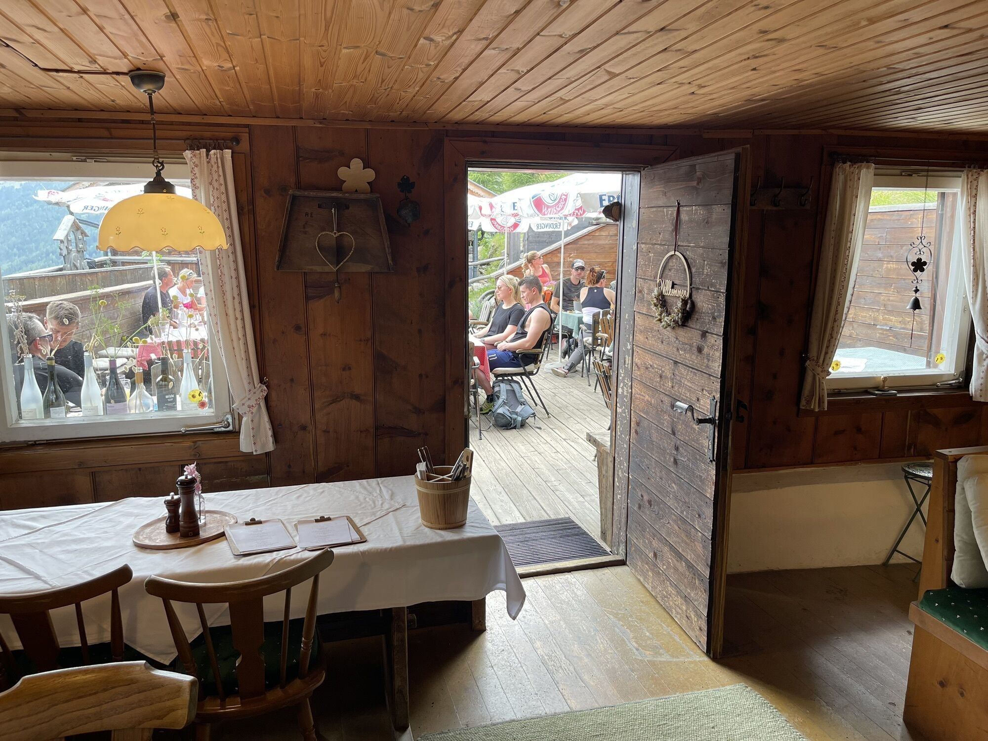
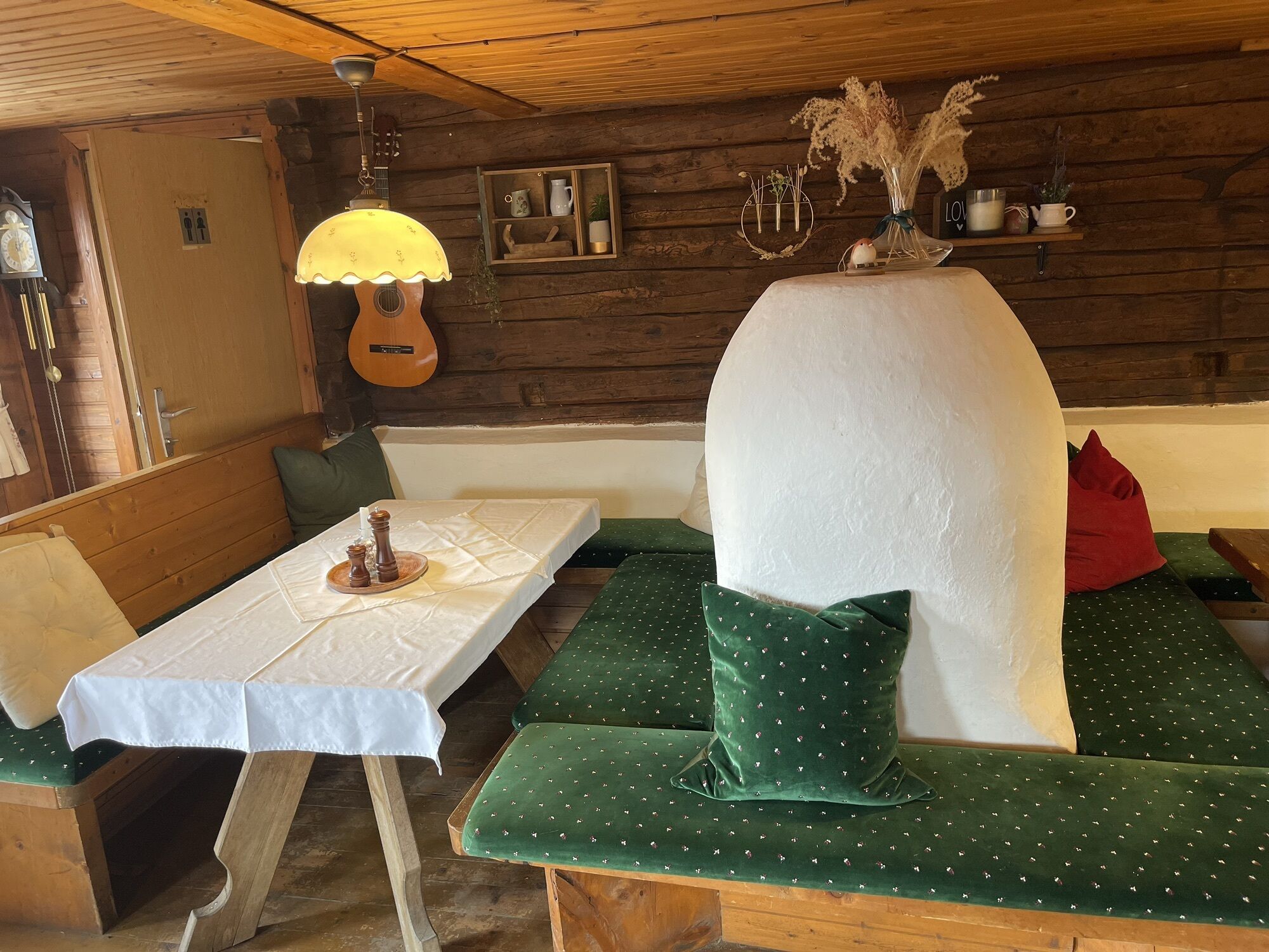
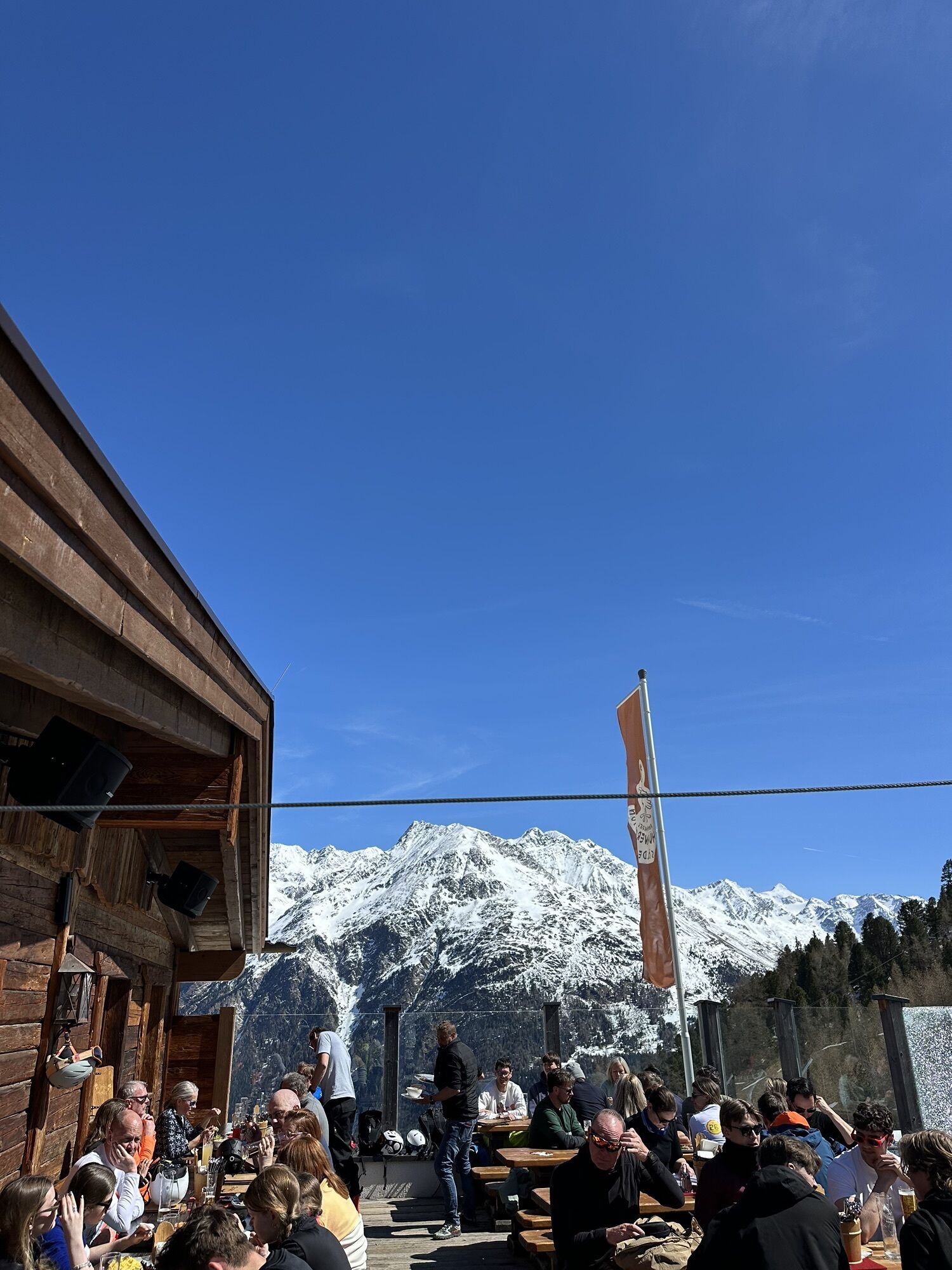
ALMZEIT is a family theme hiking trail in close touch with the huge variety of Sölden's mountain huts and Alpine pastures. While walking from hut to hut and from...
DELIGHTFUL ALMZEIT HIGH ABOVE SÖLDEN
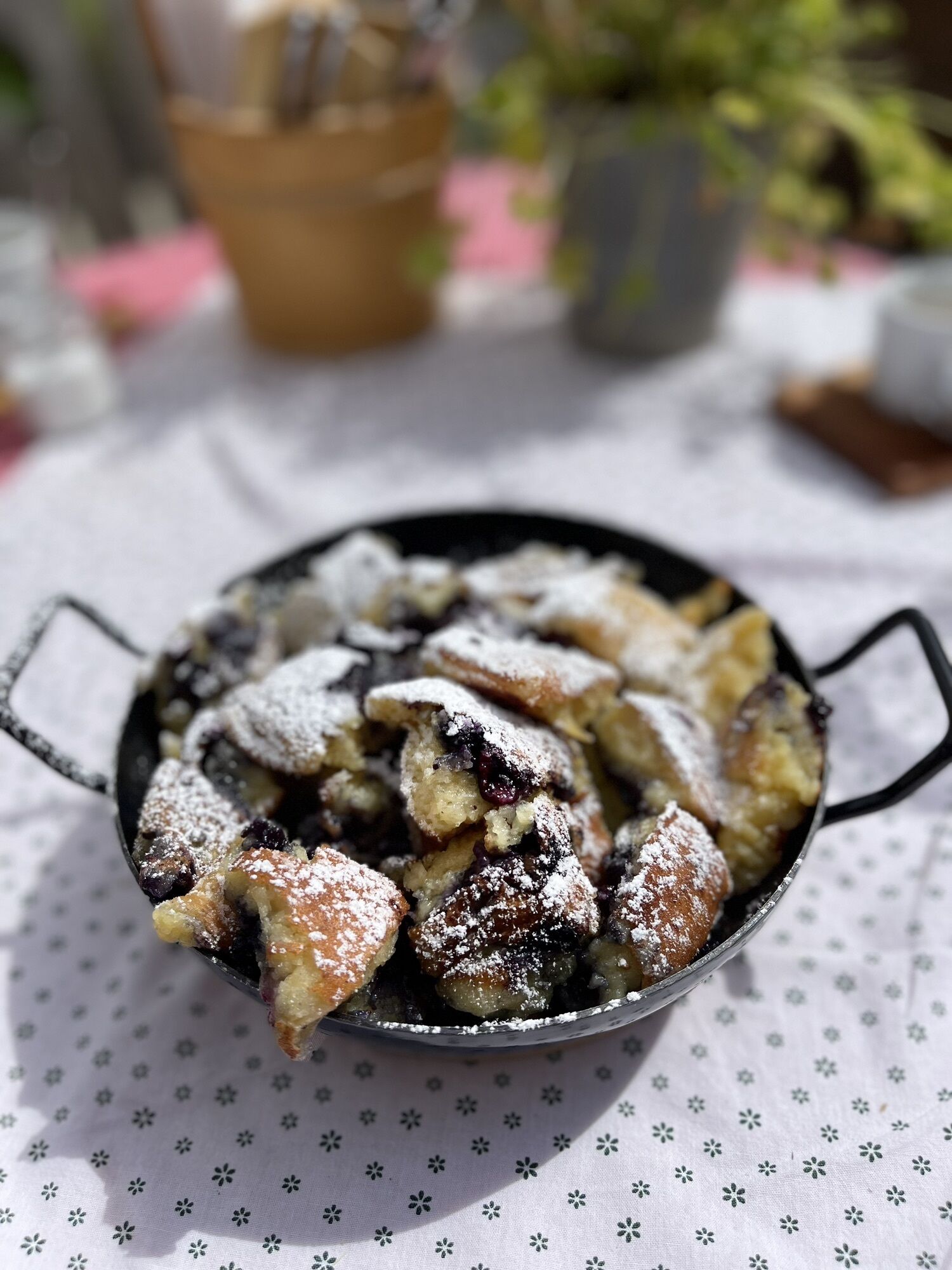
ALMZEIT is a family theme hiking trail in close touch with the huge variety of Sölden's mountain huts and Alpine pastures. While walking from hut to hut and from time to time, you will discover the Alpine area with all senses and in all its facets. Take a little time, enjoy a rest stop and talk about your experiences: you will be surprised how many stories all these Alpine pastures have to tell.
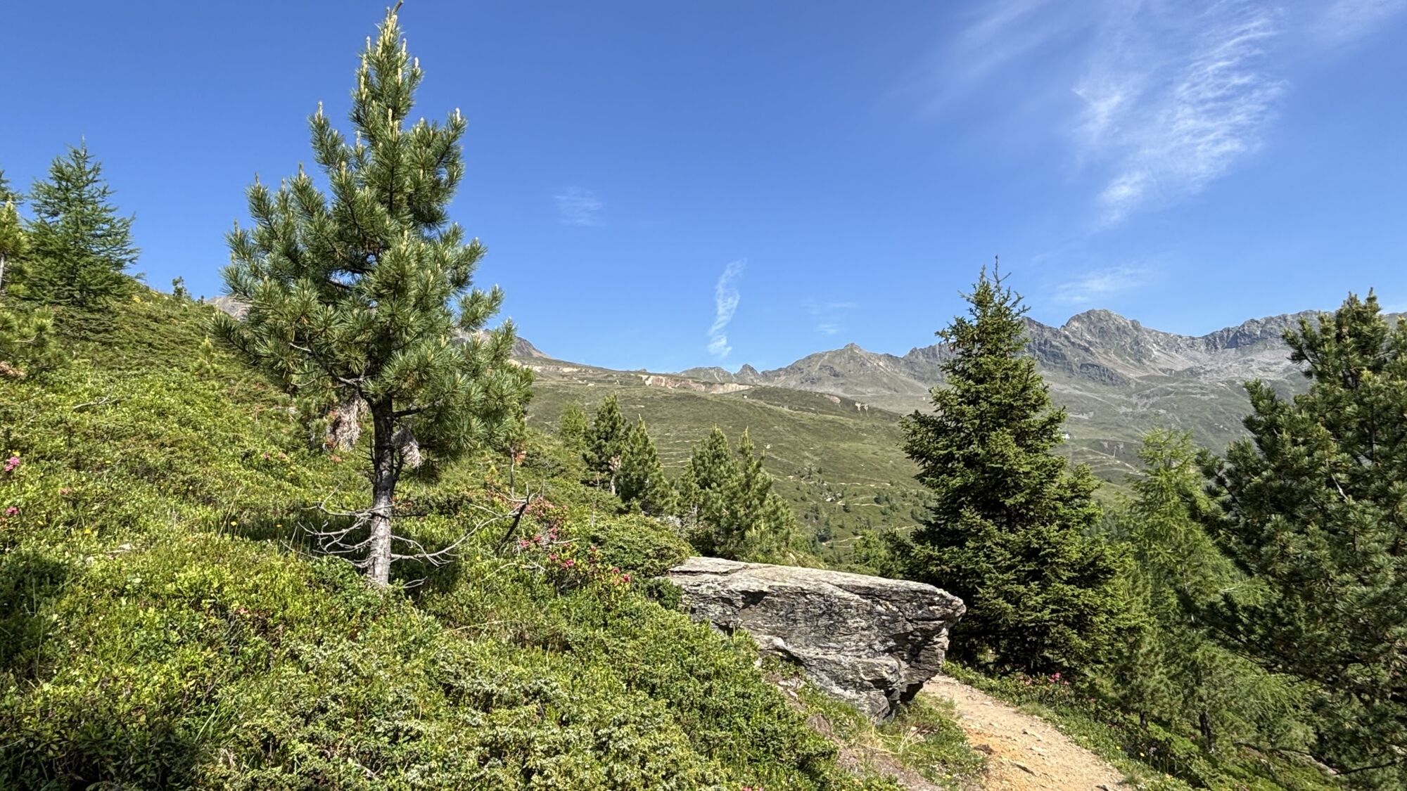
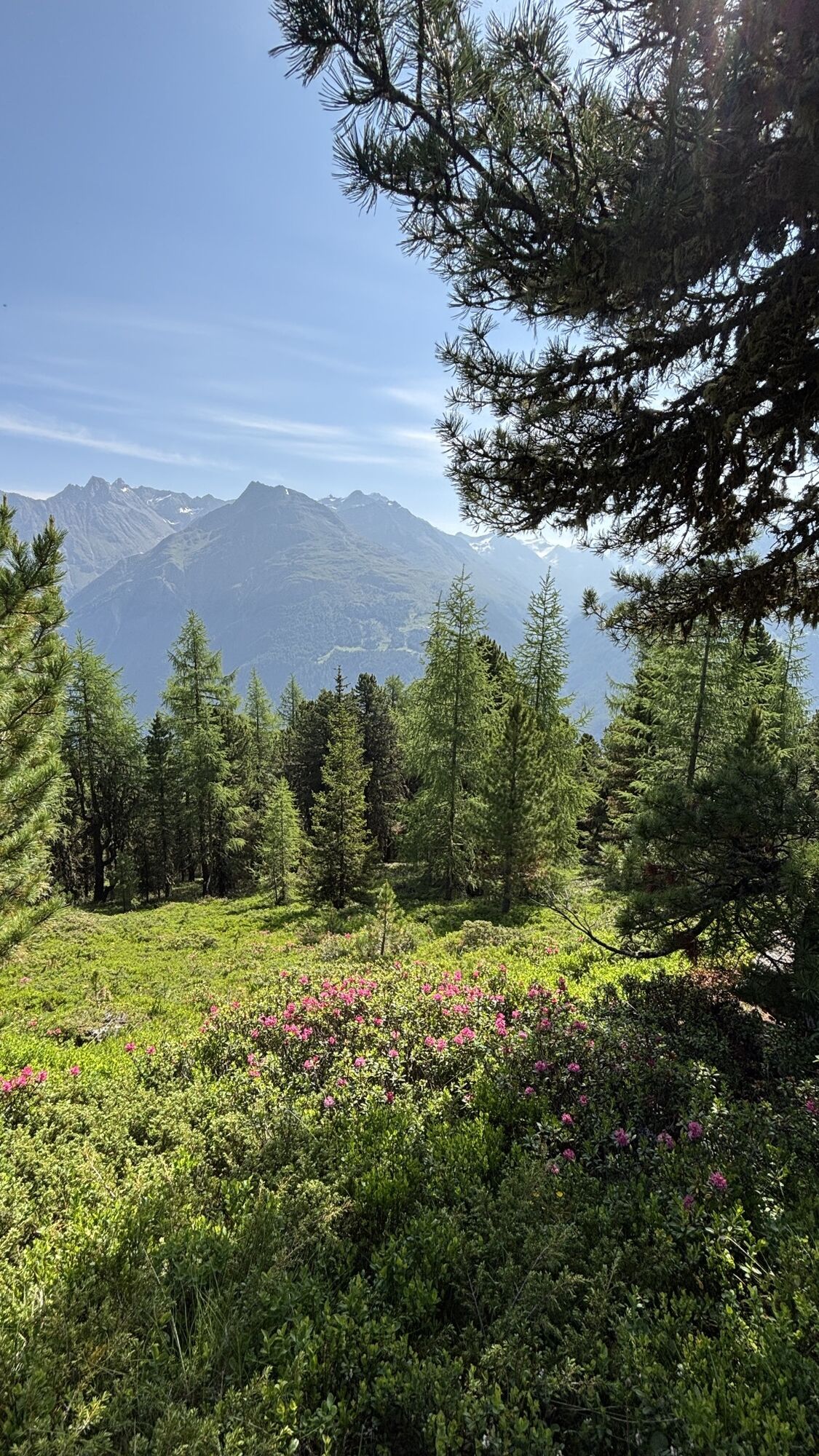
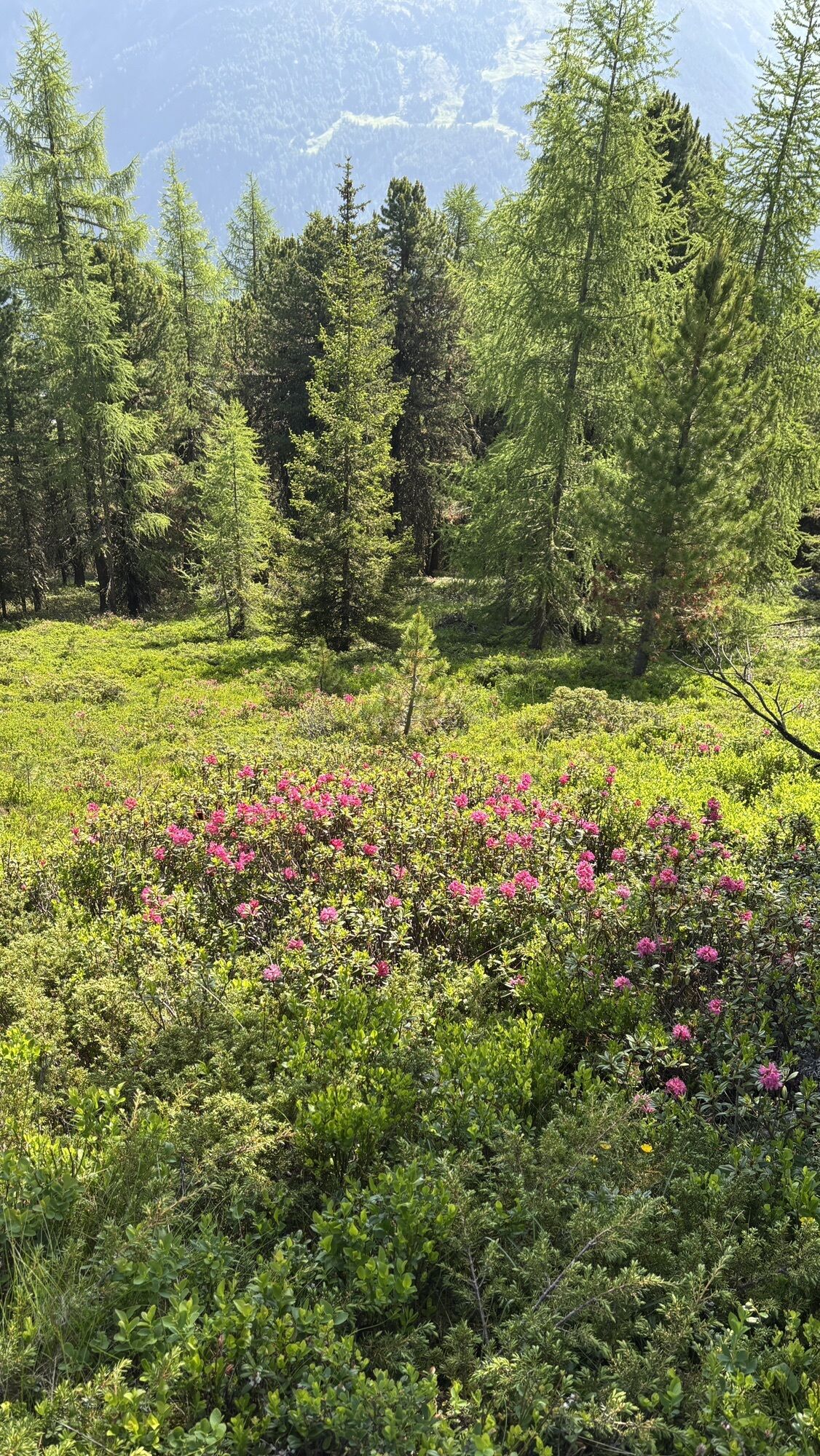
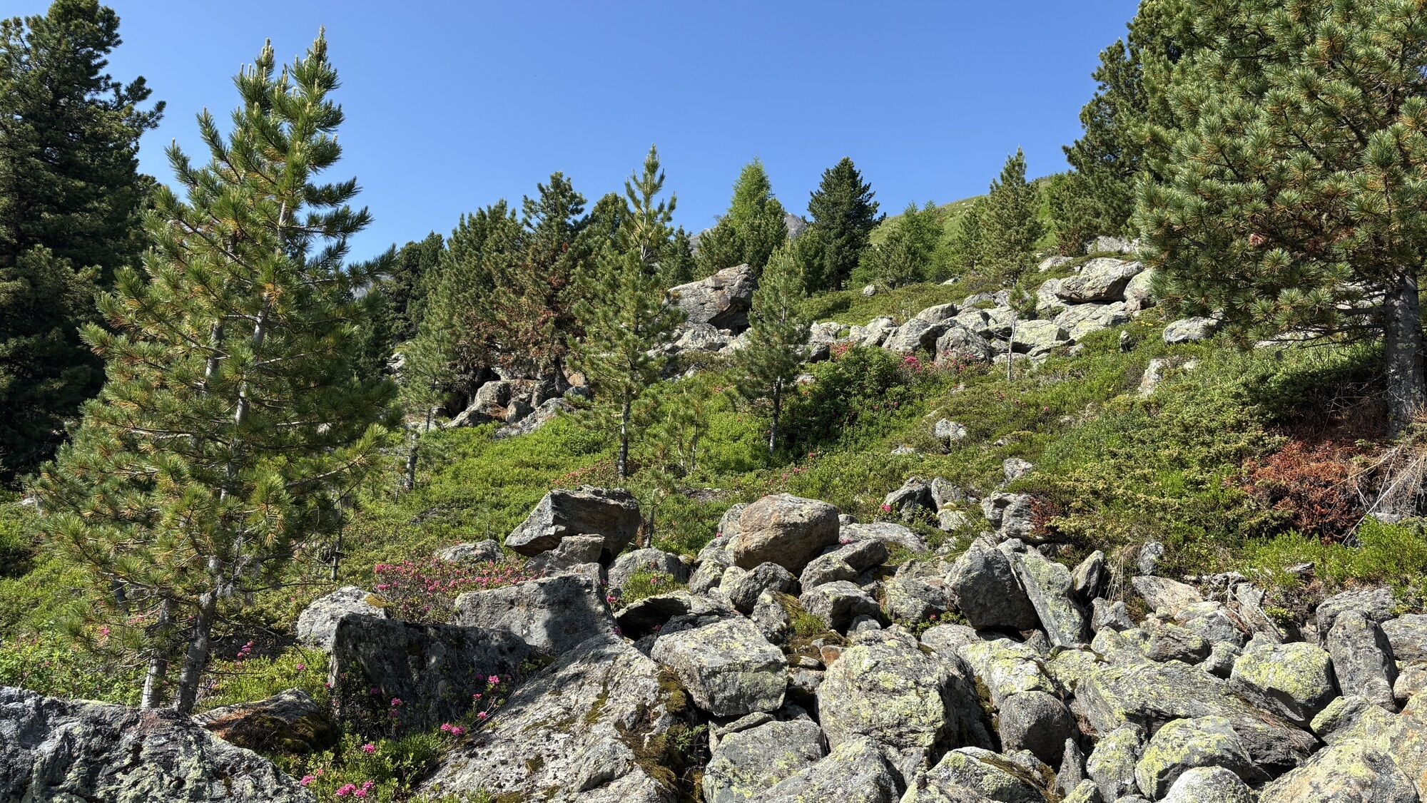
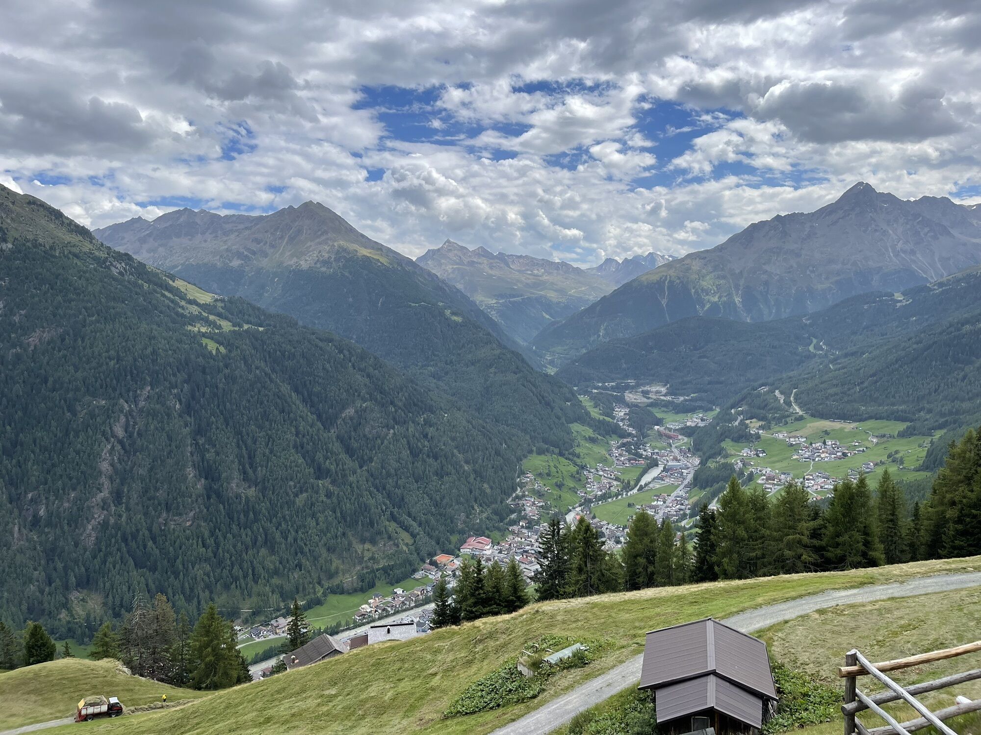
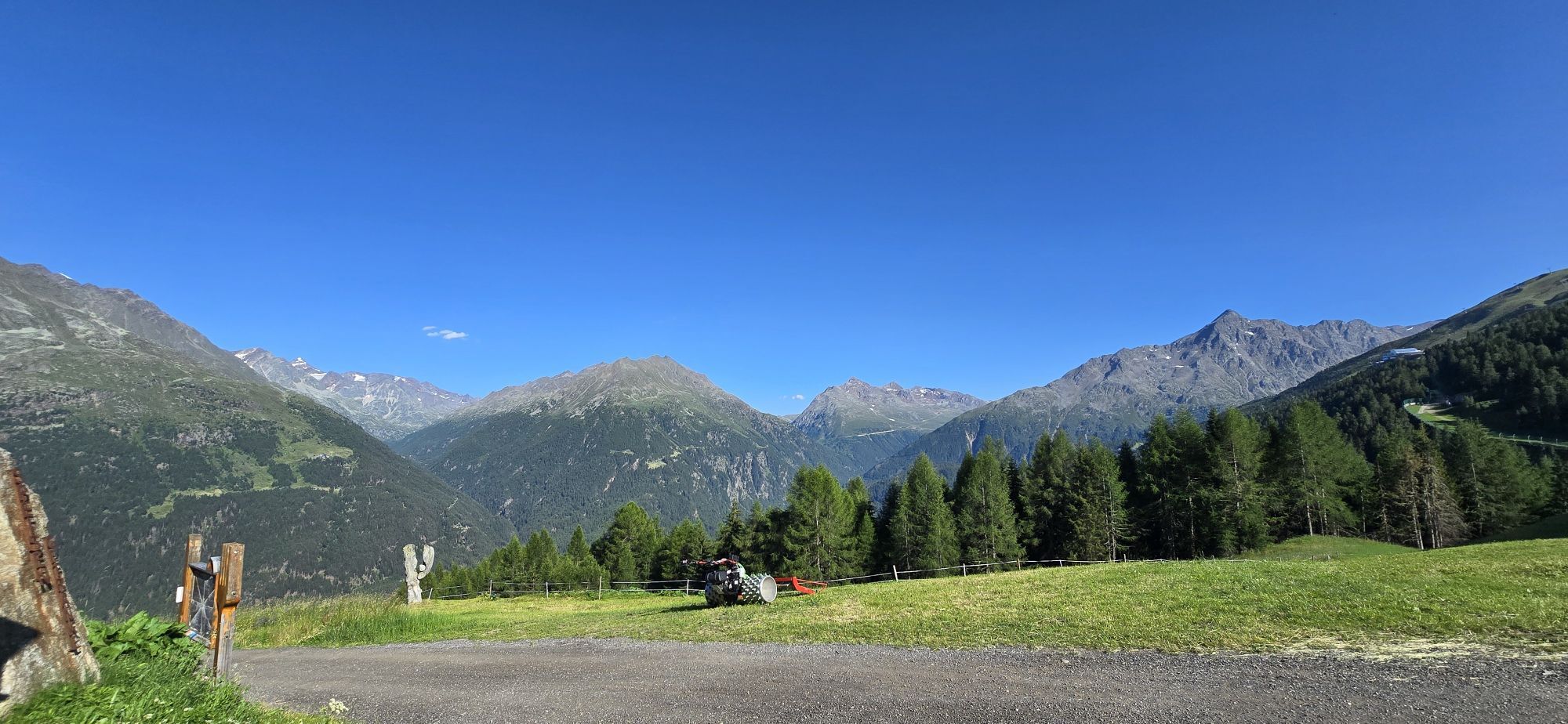
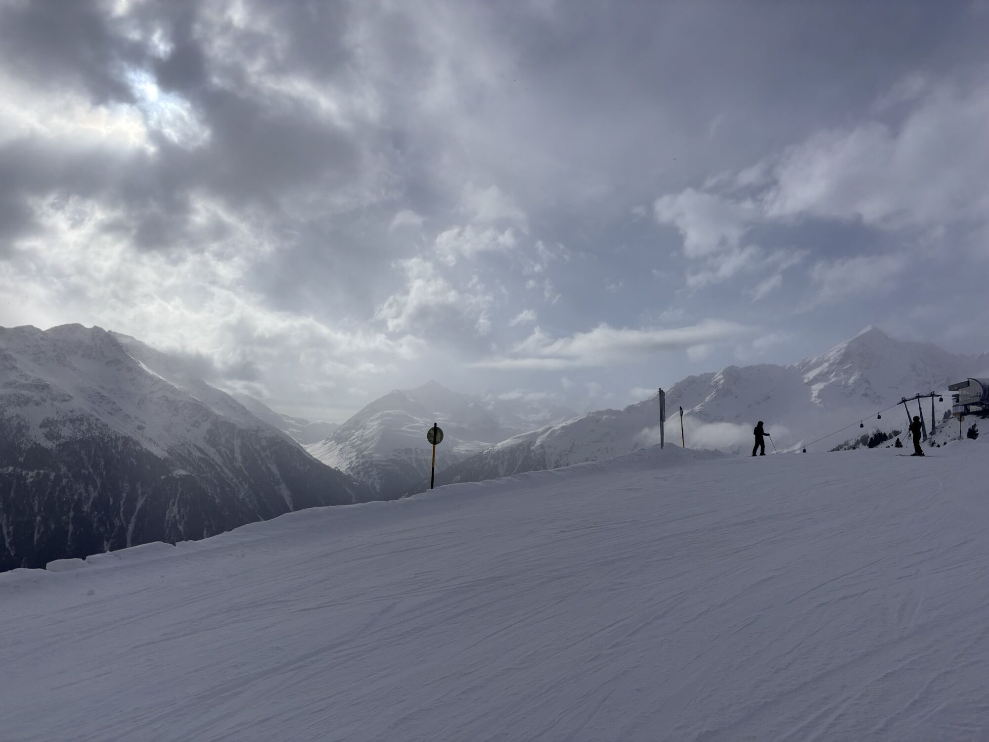
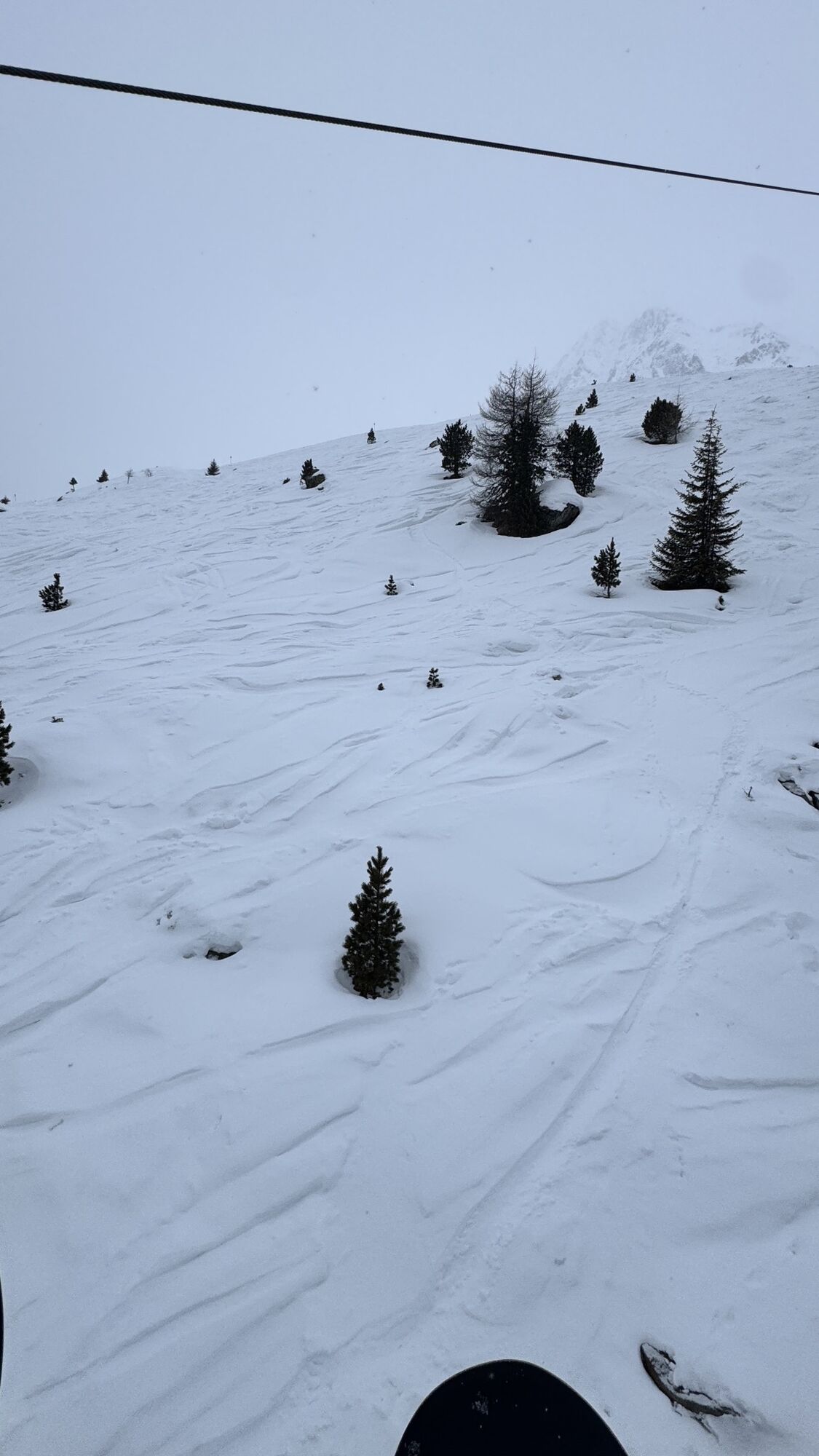
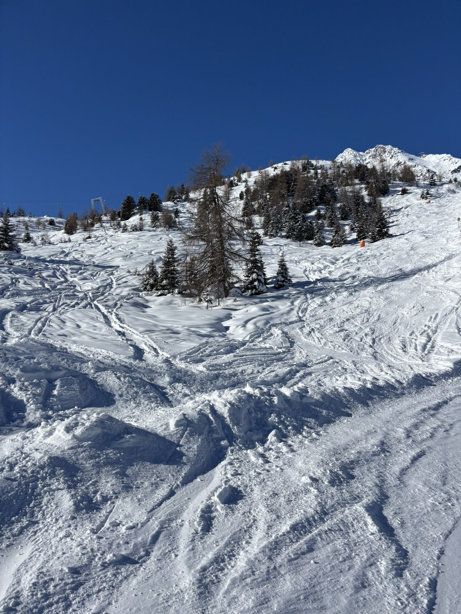
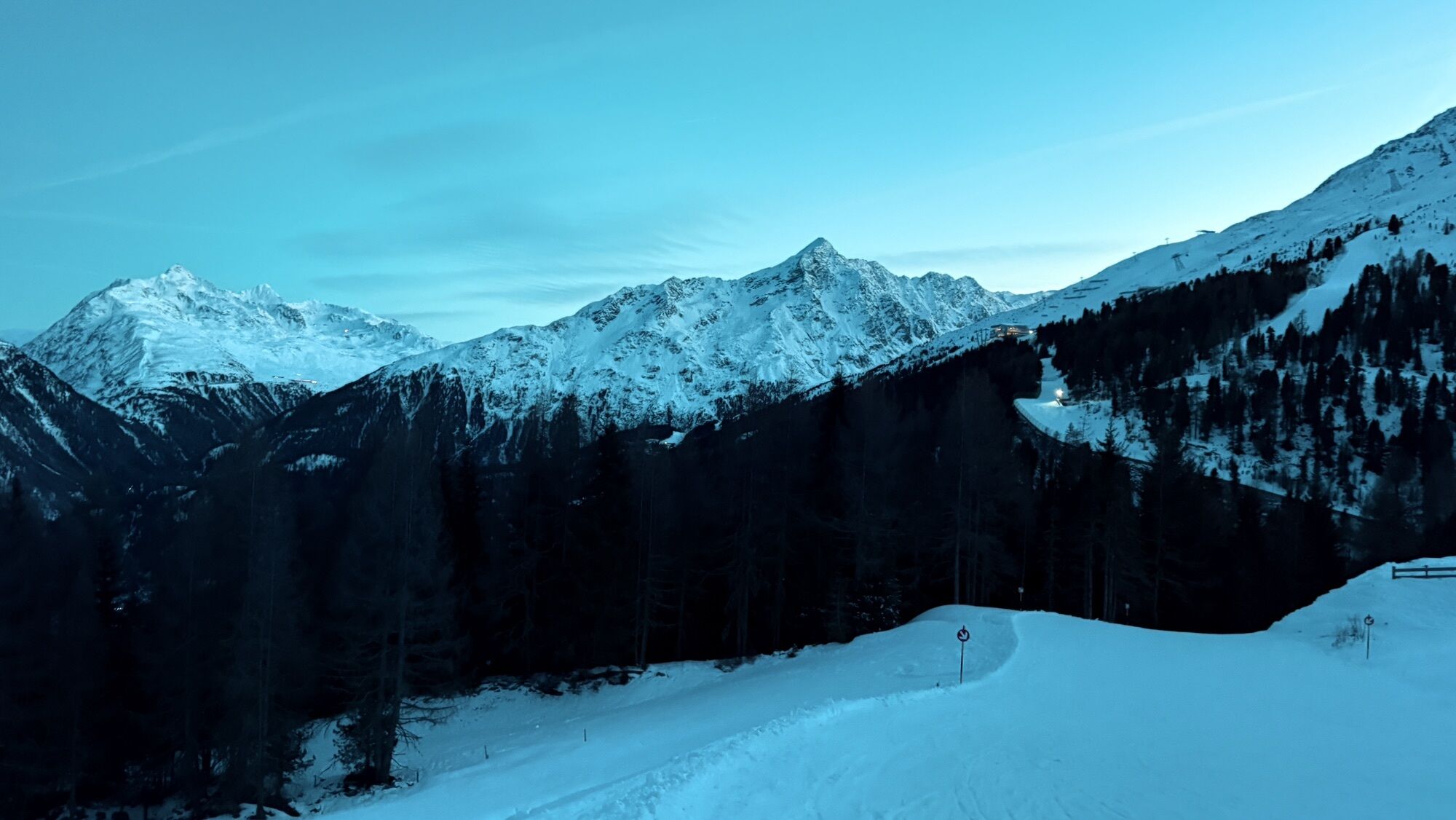
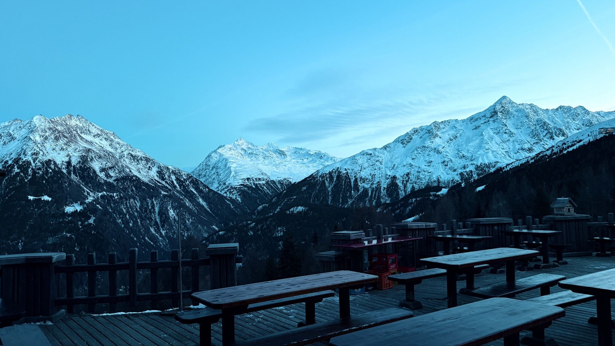
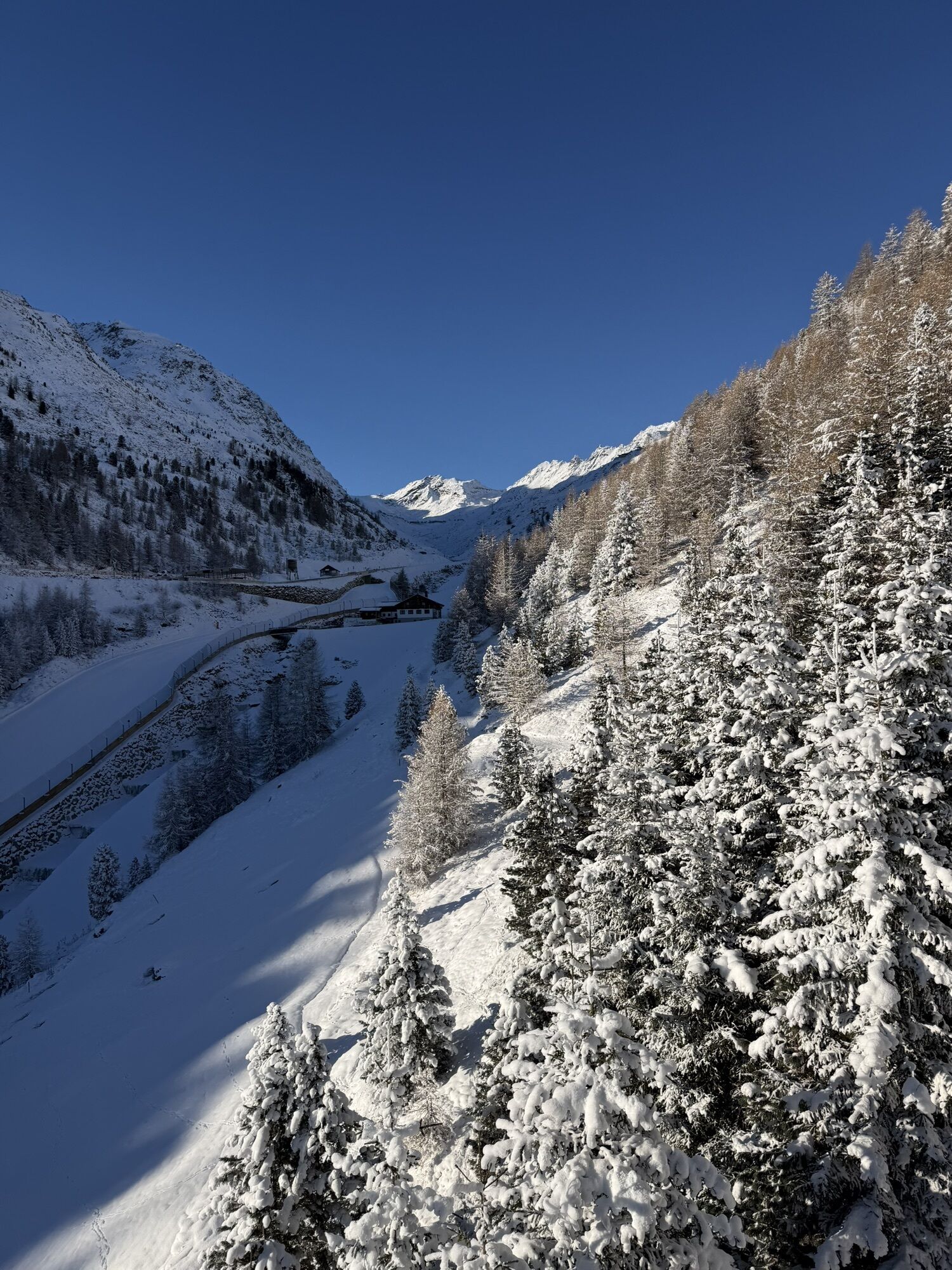
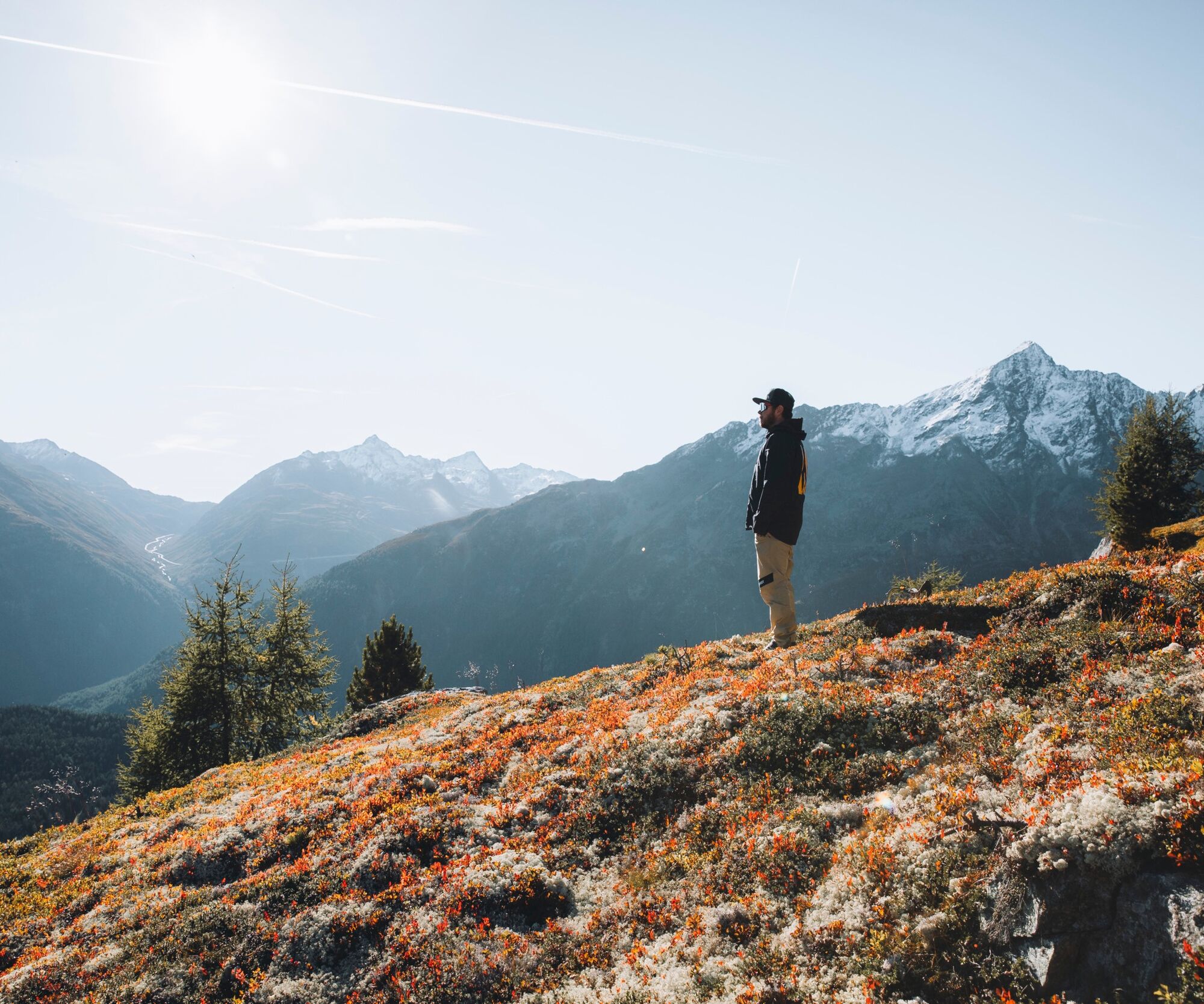
Right in-between colorful mountain meadows and ancient stone pine forests, the trail always leads along the tree line. Here on the well-tended Alpine pastures you can make out the last traces of the winter sport season. Where the ski athletes meet in winter, the grazing cattle herds now enjoy the tranquility and tasty Alpine herbs. On the opposite side of the valley the Alpine giants shine out of Windachtal, "Sölden's Silent Part" is only a stone's throw away. Slowly we move away from the mountain lifts - in the middle of nowhere. The view of the valley is fairly gorgeous: glacier-topped summits go hand in hand with lush green Alpine pastures and meandering mountain brooks. The winter sports and hiking village of Sölden can be found right at the heart of this stunning scenery.


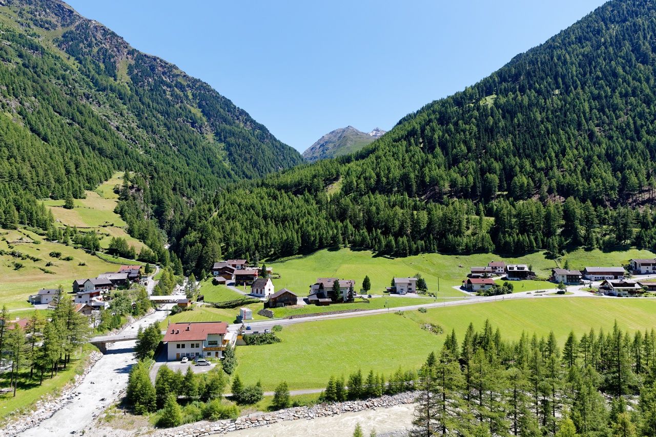

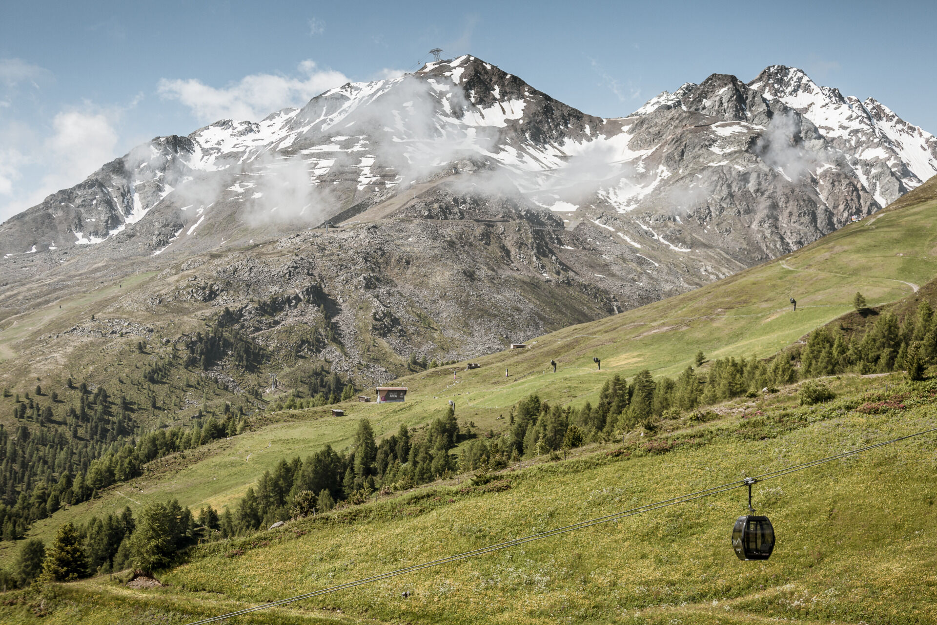


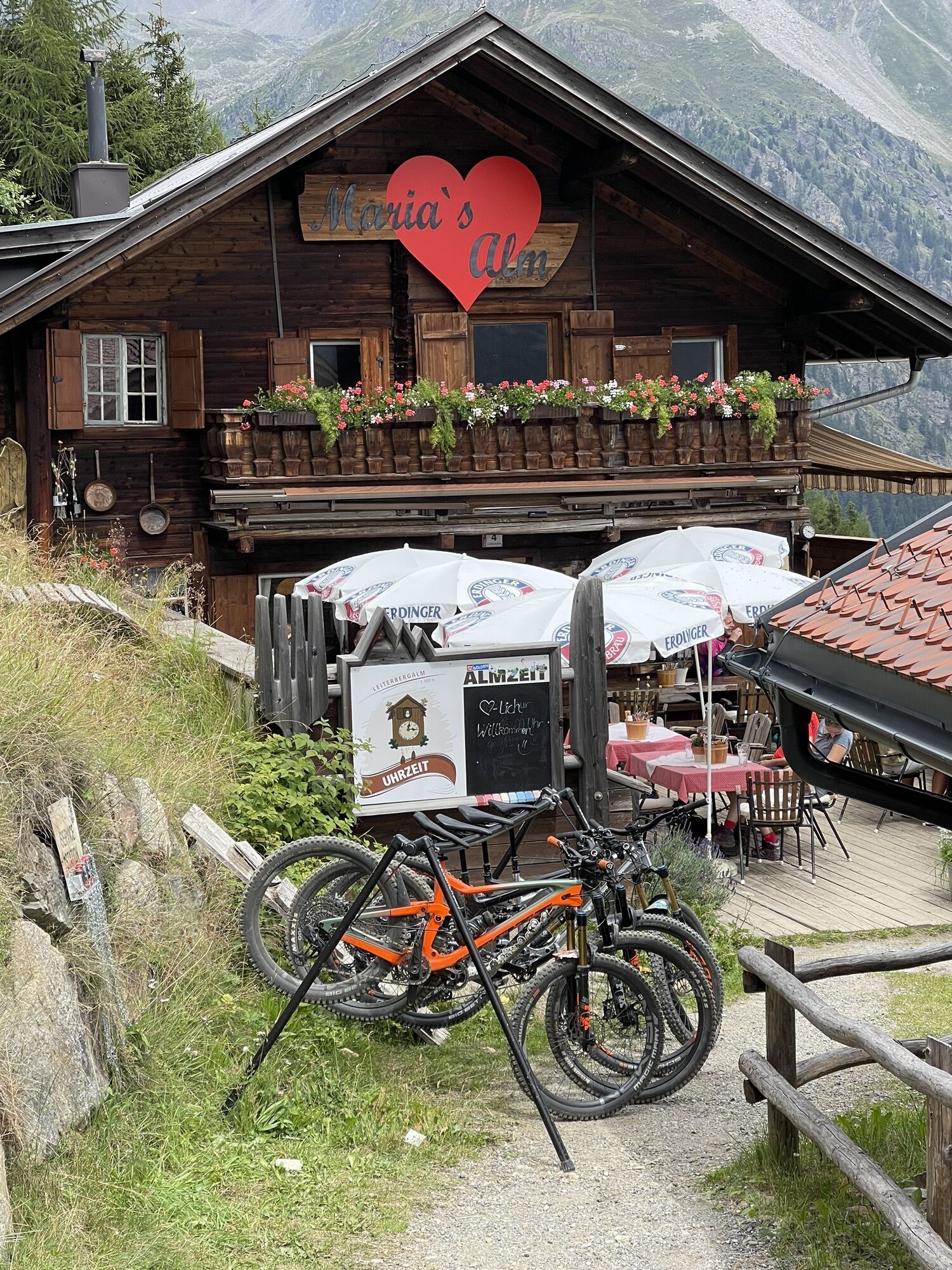
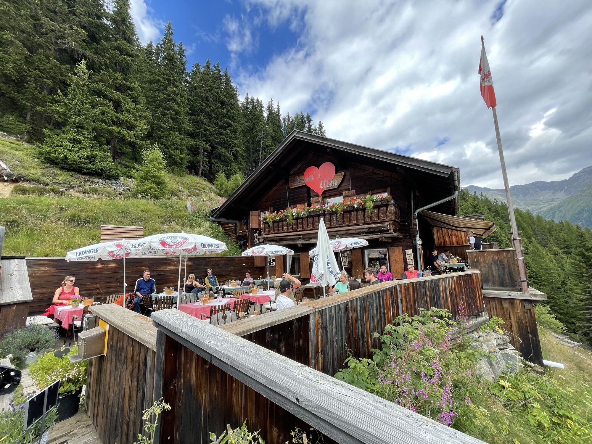
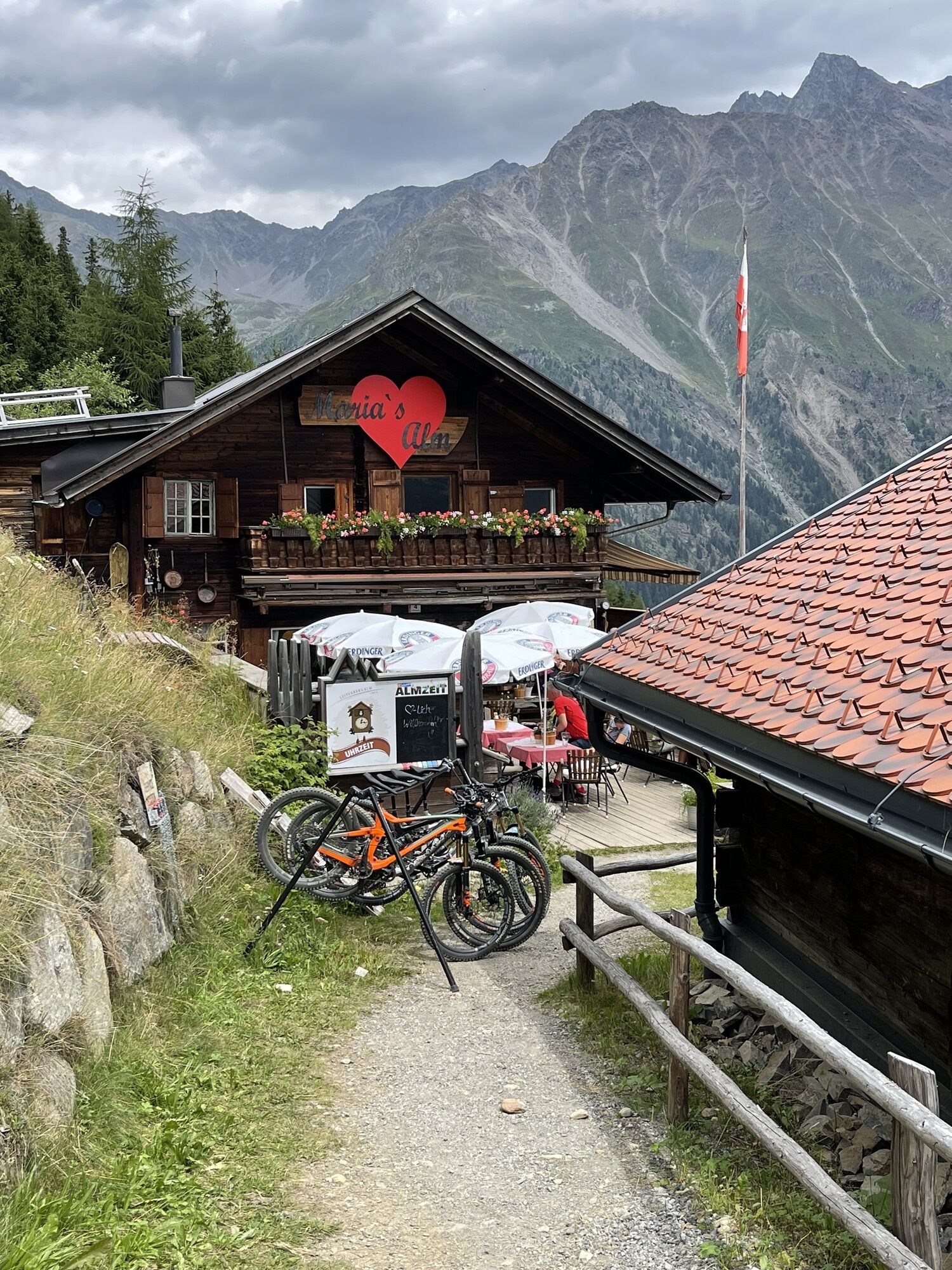
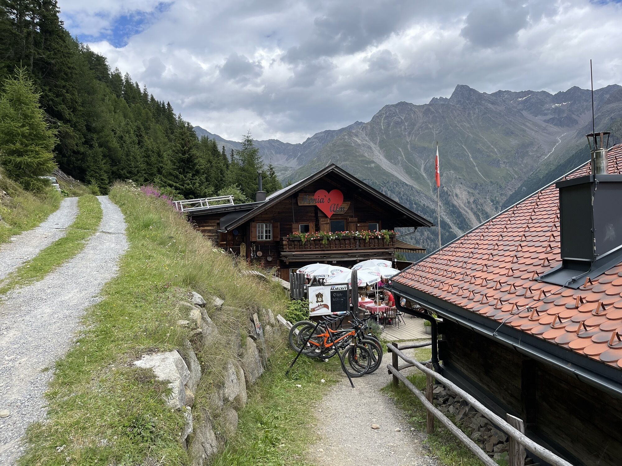
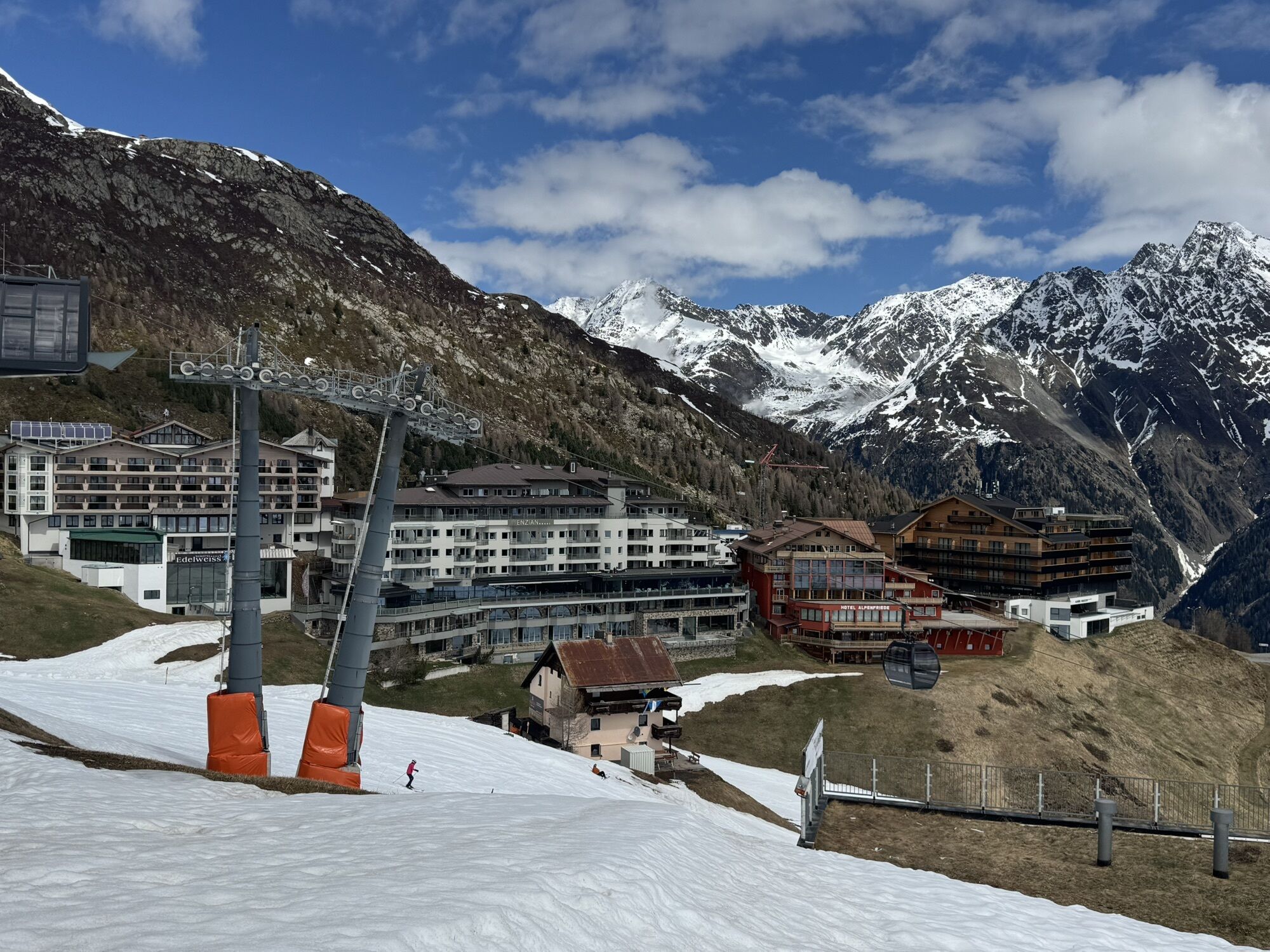
Continue through the lush meadows down to Gampealmen pasture huts. The trail travels right in-between the lift towers of Giggijoch mountain gondola towards Gasthof Sonnblick and further on to Hochsölden. As soon as you reach the last houses, turn left towards Maria's Alm. From Maria's Alm you follow the wide forest trail out of the valley, hiking downhill until you get to Granstein.
Appropriate equipment such as breathable suitable outdoor clothes for the weather, is for all hikes and tours necessary. Please bring a first-aid box, a mobile phone, a walking map and if there is no hut on the way a snack and enough to drink.
suitable for beginners and walkers. Please pay attention to the current weather report.
The car drive to the Ötztal valley. Situated in Tirol, the Ötztal valley set off in southerly direction and is the longest side valley in the Eastern Alps. The journey with the car leads you through the Inntal valley to the entrance of the valley and further on through the valley. Among the toll motorways you can also use the country roads. A route planner will show you the easiest and most convenient way: www.google.at/maps
The following parking facilities are available in Zwieselstein:
parking Hochstatt | chargeable
parking Zwieselstein | chargeable
… Silbertal/Gaislachalmen hosts western Austria's biggest Mineral Museum at about 2000 meters above sea level? Among others, you can admire Europe's biggest single garnet and many other attractions.
More details about hiking In Ötztal: www.oetztal.com/wandern
Webové kamery z prohlídky
Seekogel
Gaislachkogel
Sölden - Tiefenbachferner Tal
Sölden - Rettenbachferner
Sölden - Hochsölden
Sölden - Grünwald Resort
Top Mountain Crosspoint Hochgurgl
Top Mountain Crosspoint Hochgurgl
Sölden - Grünwald Resort
Giggijoch
Giggijoch
Sölden - Gaislachkogelbahn Mittelstation
Sölden - Schwarzkogl Talstation
Hochstubaihütte
Hochstubaihütte
Sölden Ort
The Peak Sölden**** Chalets und Appartements
Získejte přehled Vždy živě na místě s více než 9 500 webkamerami. bergfex Jako uživatel Pro si nyní můžete zobrazit odpovídající webové kamery pro mnoho prohlídek v aplikaci prohlídky z. Můžete si tak přímo prohlédnout aktuální podmínky. Oblíbené prohlídky v okolí
- 4.6
Winnebachsee Hut – Längenfeld/Gries
středníTuristika 4.74 km - 4.7
Winter circular route Brandalm/Burgstein - Längenfeld 204
středníZimní turistika 5.44 km - 4.4
Rundwanderung Hängebrück3
světloTuristika 6.32 km - 4.3
Amberger Hut - Längenfeld/Gries
středníTuristika 5.60 km - 4.4
Hochtour Wildspitze, 3.768m
středníVysokohorská turistika 9.75 km - 4.4
Vent - Wilder Mann - Breslauer Hütte - Stableinalm
středníTuristika 7.25 km - 3.8
Breslauer Hut
středníTuristika 4.75 km - 3.1
Tiefenbachglacier - Mountaineering Village Vent
středníTuristika 10.8 km - 5.0
Dresdner hütte - sulzenauerhütte
středníTuristika 12.1 km - 5.0
Hoher Seeblaskogel 3235m - Längenfeld/Gries
heavyTuristika 8.38 km
Pěší turistika a stopování


Nenechte si ujít nabídky a inspiraci pro vaši příští dovolenou
Vaše e-mailová adresa byl přidán do poštovního seznamu.





