


Circular hike - Brunnenhügel - Hinternah - Thuringian Forest
The hike starts at the historic "Brandtsköppshaus" in Hinternah and runs idyllically through the Silbachsgrund to the mountain village of Silbach. Then the path continues along the Silbacher Feld and through...
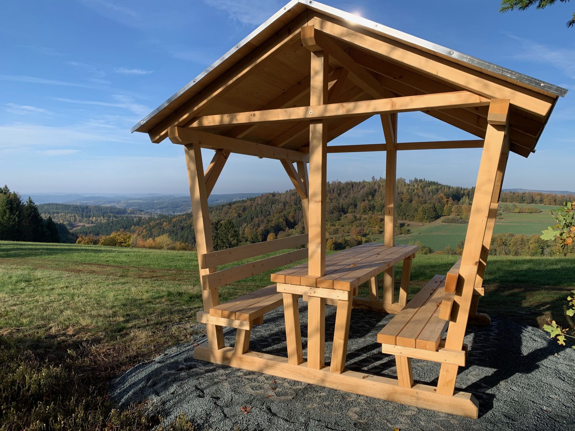
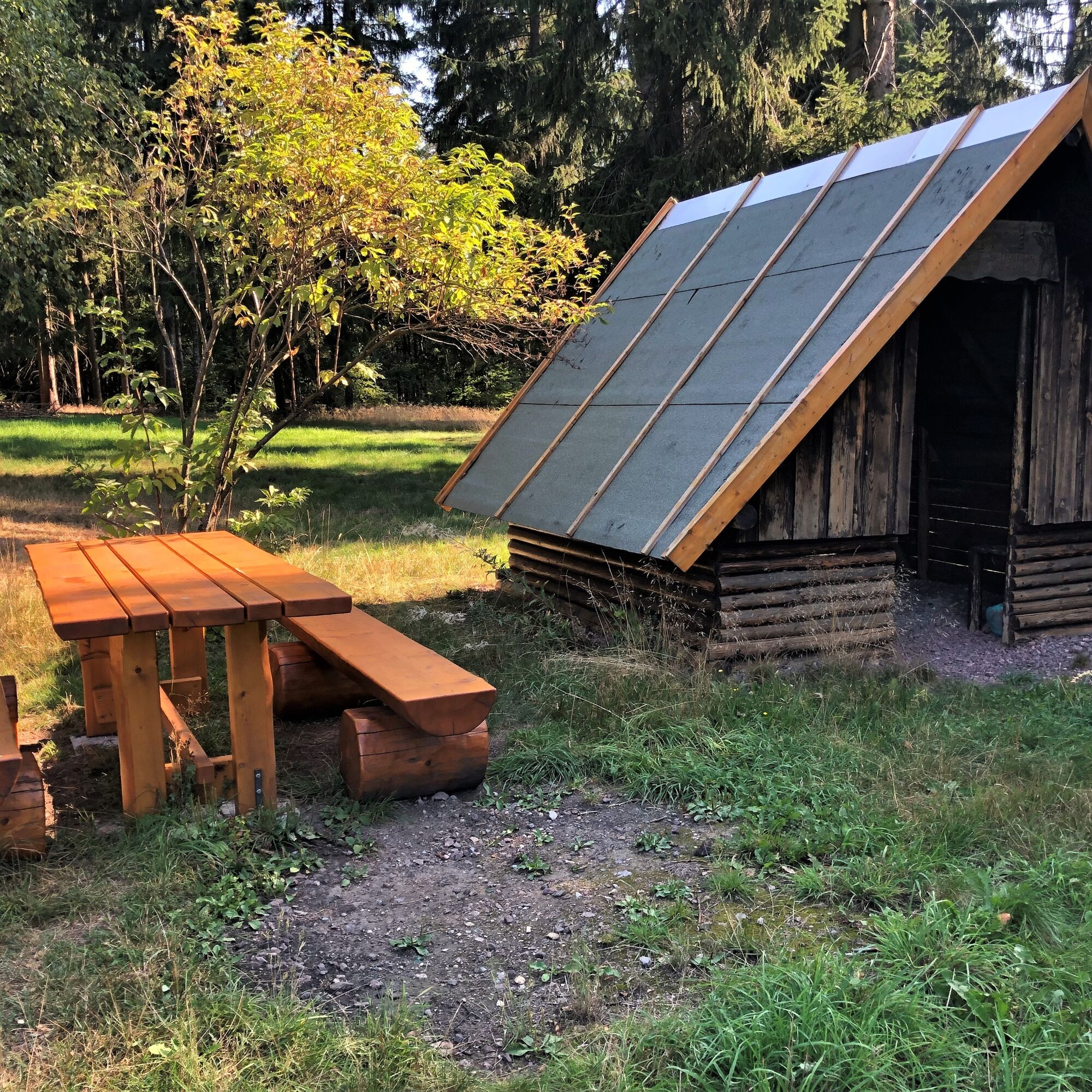
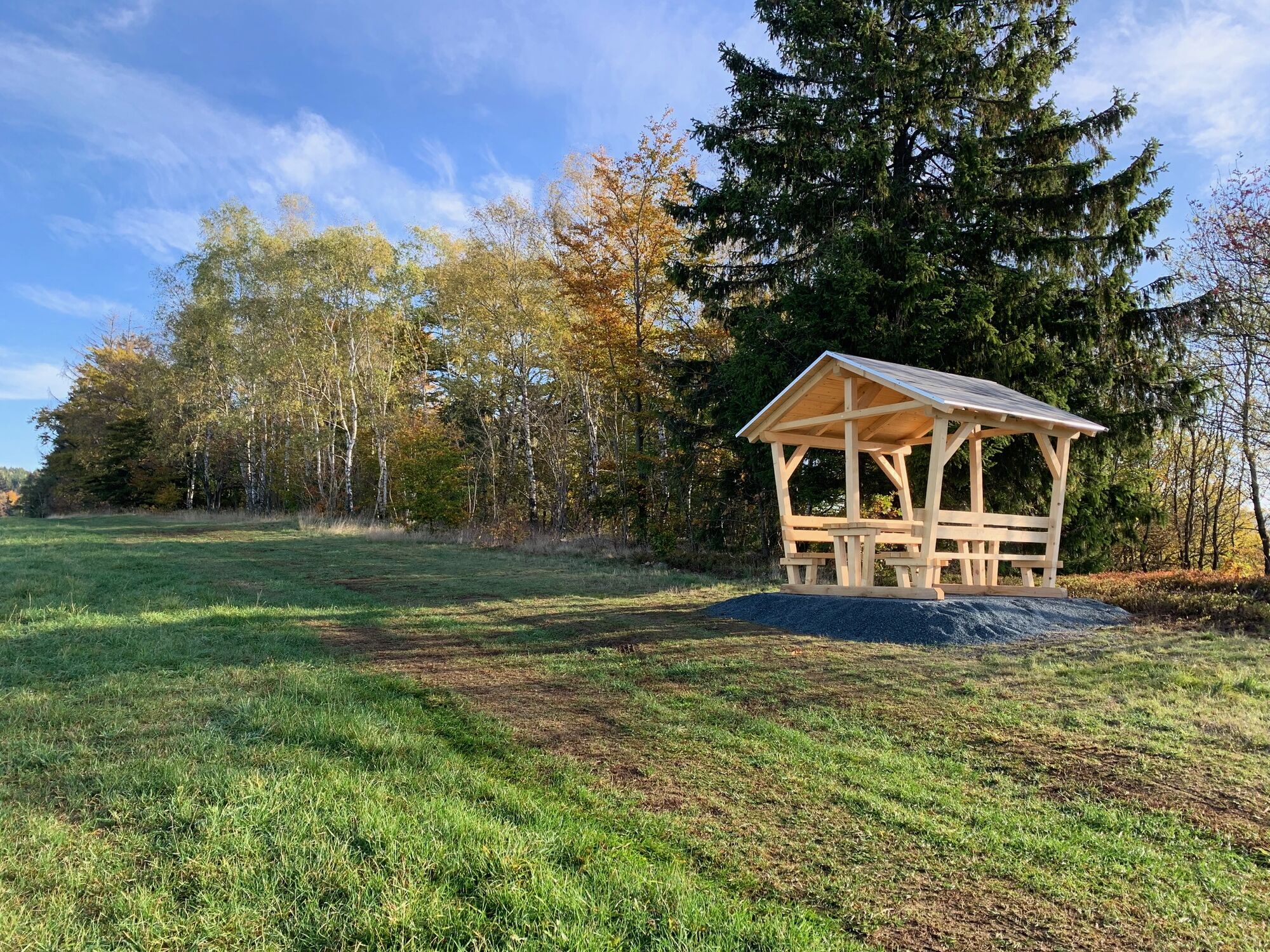
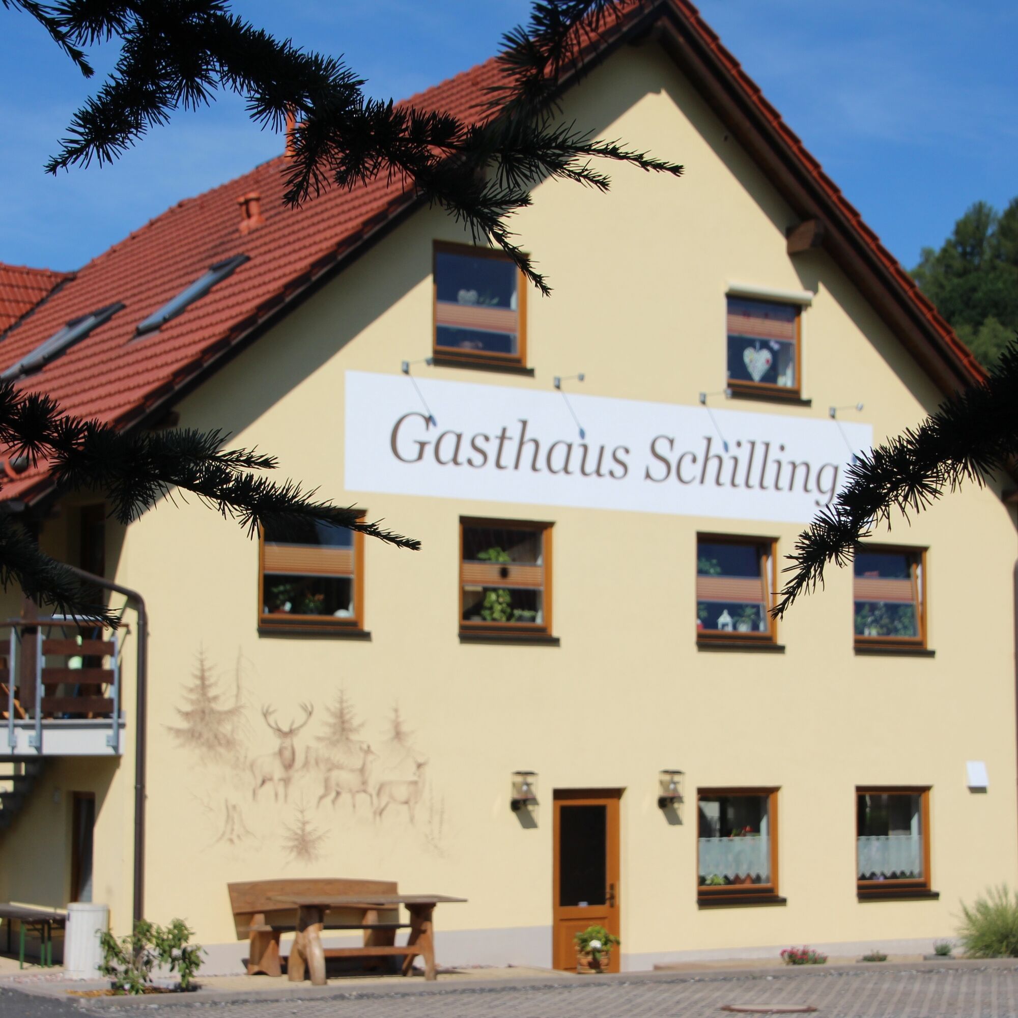
The hike starts at the historic "Brandtsköppshaus" in Hinternah and runs idyllically through the Silbachsgrund to the mountain village of Silbach. Then the path continues along the Silbacher Feld and through the "Gebrenn". It is a perfect opportunity to hike up the Brunnenhügel (704 m above sea level). After descending the Brunnenhügel, you reach the seating area at the "Fichtebüschle" on the ridge of the Gerswiese with a breathtaking panorama over the Thuringian Forest. When your enjoyment of the picnic and panorama fades, follow the so-called "Wurstweg" back towards Hinternah. At the crossroads with the large chestnut tree, continue along the road (approx. 400 m) towards Mühlberg. From there, you reach the Gasthaus Schilling in Hinternah. If you are tired and hungry, this is the perfect conclusion with a delicious refreshment. Then it is only a short walk back to the starting point at the Brandtsköppshaus.

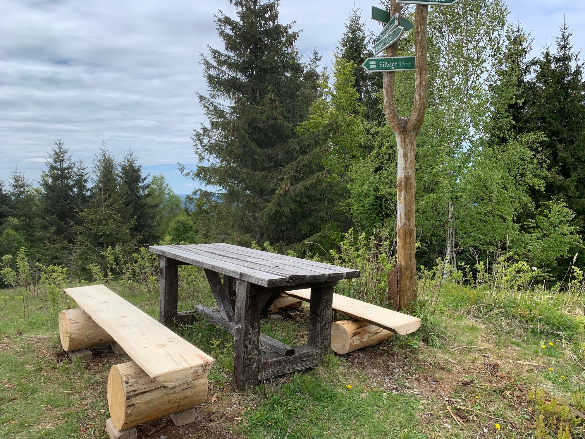

The hike starts at the "Brandtsköppshaus" in Hinternah and goes through the Silbachsgrund to the mountain village of Silbach. Then along the Silbacher Feld and through the "Gebrenn" to the Brunnenhügel (704 m above sea level). After descending from the Brunnenhügel, follow the ridge of the Gerswiese to the seating area at the "Fichtebüschle" with a breathtaking panorama over the Thuringian Forest. Then follow the so-called "Wurstweg" back towards Hinternah. At the crossroads with the large chestnut tree, continue along the road (approx. 400 m) towards Mühlberg. Then it is only a short walk back to the starting point at the Brandtsköppshaus.
Sturdy footwear and weather-appropriate clothing are necessary.
Easy to medium difficulty route
Via the A73 motorway, exit Schleusingen towards Ilmenau,
From Ilmenau via the L3004
Public transport from Schleusingen (Hildburghausen, Suhl)
https://www.werrabus.de/
https://www.bus-bahn-thueringen.de/
On special occasions, the nostalgia train runs from Schleusingen or Rennsteig station to Hinternah or Schleusingerneundorf.
In the village center at the historic Brandtsköppshaus, there is a parking lot with 3 motorhome spaces. (Google NAV point)
Please check the opening times of Gasthaus Schilling before stopping by.
Enjoy the nature of the Gerswiese and the views from the Brunnenhügel and especially from the Fichtebüschle on this route.
Oblíbené prohlídky v okolí
-
5.0
Naturlehrpfad Gießübler Schweiz
středníTuristika 7.99 km -
3.0
Circular hike - "4 ponds hike" Neustadt am Rennsteig - Thuringian Forest
heavyTuristika 12.6 km -
3.8
Rundweg Talsperre
středníJízda na kole 14.5 km -
The Rennsteig - long-distance hiking trail from Hörschel to Blankenstein - Thuringian Forest
heavydálková pěší trasa 169.0 km -
5.0
Circular hiking route - TOP 1 - Werra Source - Masserberg - Thuringian Forest
středníTuristika 5.94 km -
4.0
Circular hiking trail - TOP 4 - Masserberg - Fehrenbach Switzerland - Thuringian Forest
středníTuristika 11.5 km -
5.0
Rundtour Staudamm
světloTuristika 3.91 km -
5.0
Circular hike - To the Schönbrunn Dam - Frauenwald
středníTuristika 15.1 km -
5.0
Circular hiking trail around the Langebachtal - Thuringian Forest
středníTuristika 12.2 km -
3.0
Circular route - Panorama route Stützerbach - Terrain course TK 4
středníTuristika 10.4 km
Pěší turistika a stopování


Nenechte si ujít nabídky a inspiraci pro vaši příští dovolenou
Vaše e-mailová adresa byl přidán do poštovního seznamu.