




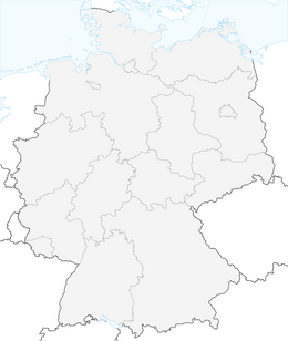


Singer-Berg route
Úroveň obtížnosti: T2
The route starts at the market in Stadtilm and leads past Buchberg to Hamsterberg. Along this stretch, multiple distant views into the Ilm valley are offered.
Past Eichberg, the route goes via Geilsdorf...
The route starts at the market in Stadtilm and leads past Buchberg to Hamsterberg. Along this stretch, multiple distant views into the Ilm valley are offered.
Past Eichberg, the route goes via Geilsdorf to Gösselborn. There in the middle of the village is the small St. Nicolai village church.
Via Singen the route leads to the Singener Berg.
In Singen, the route passes directly by the old brewery, which is protected as a historical monument.
The highest point of the Singer Berg is not reached. Halfway up, the mountain is circled on its southeast side and the path continues to Griesheim.
From this village, the path follows part of the Ilm valley cycle path before heading beneath the Tännreisig nature reserve back to the starting point in Stadtilm.

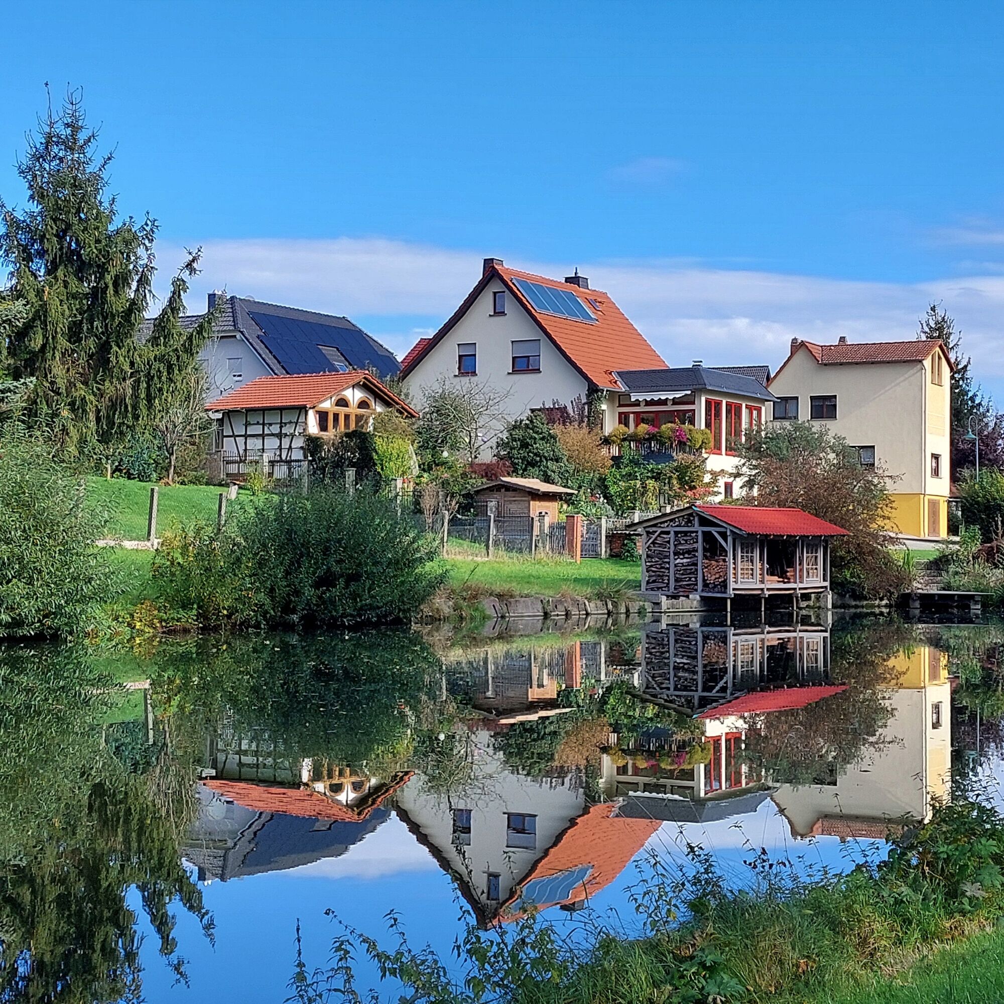
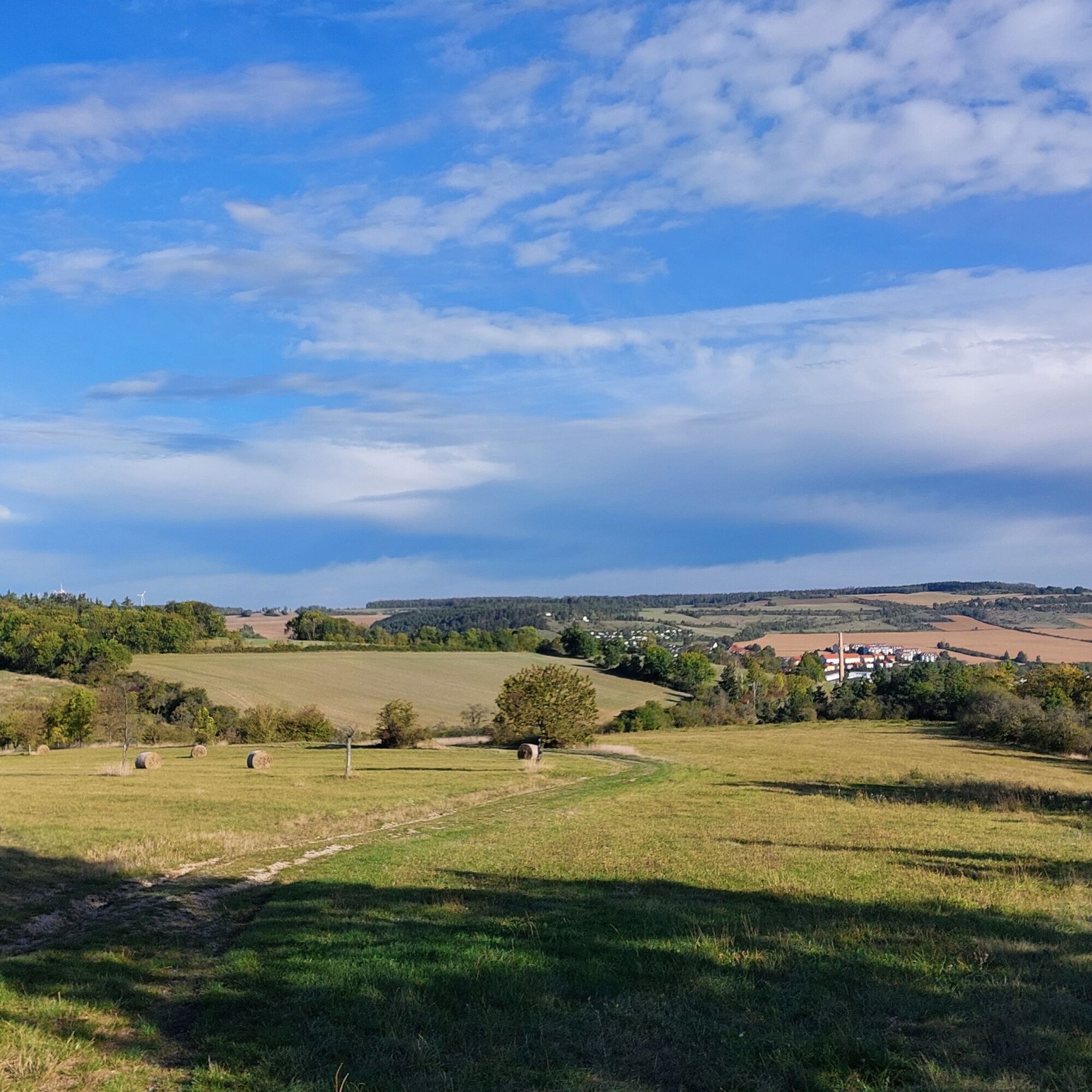
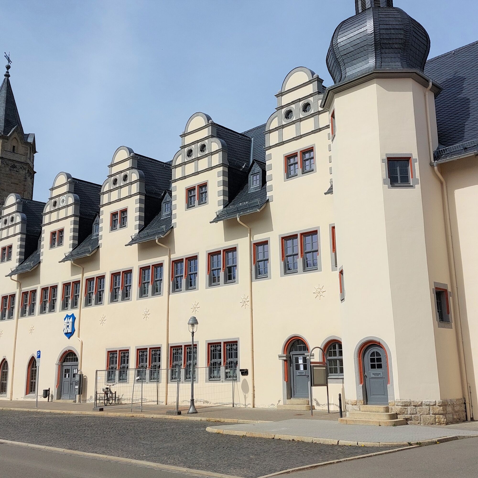
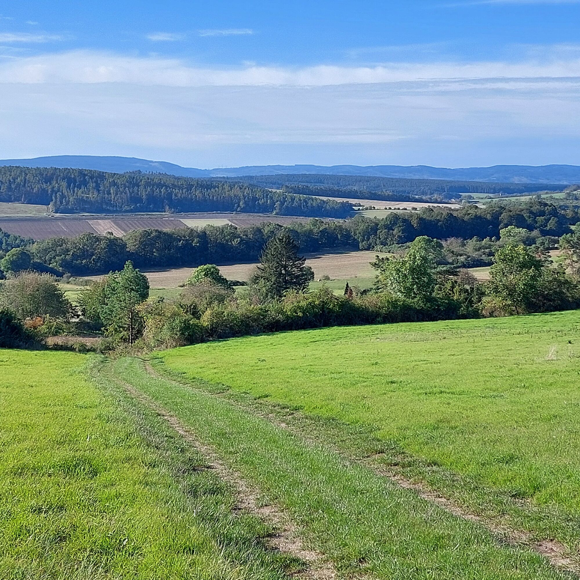
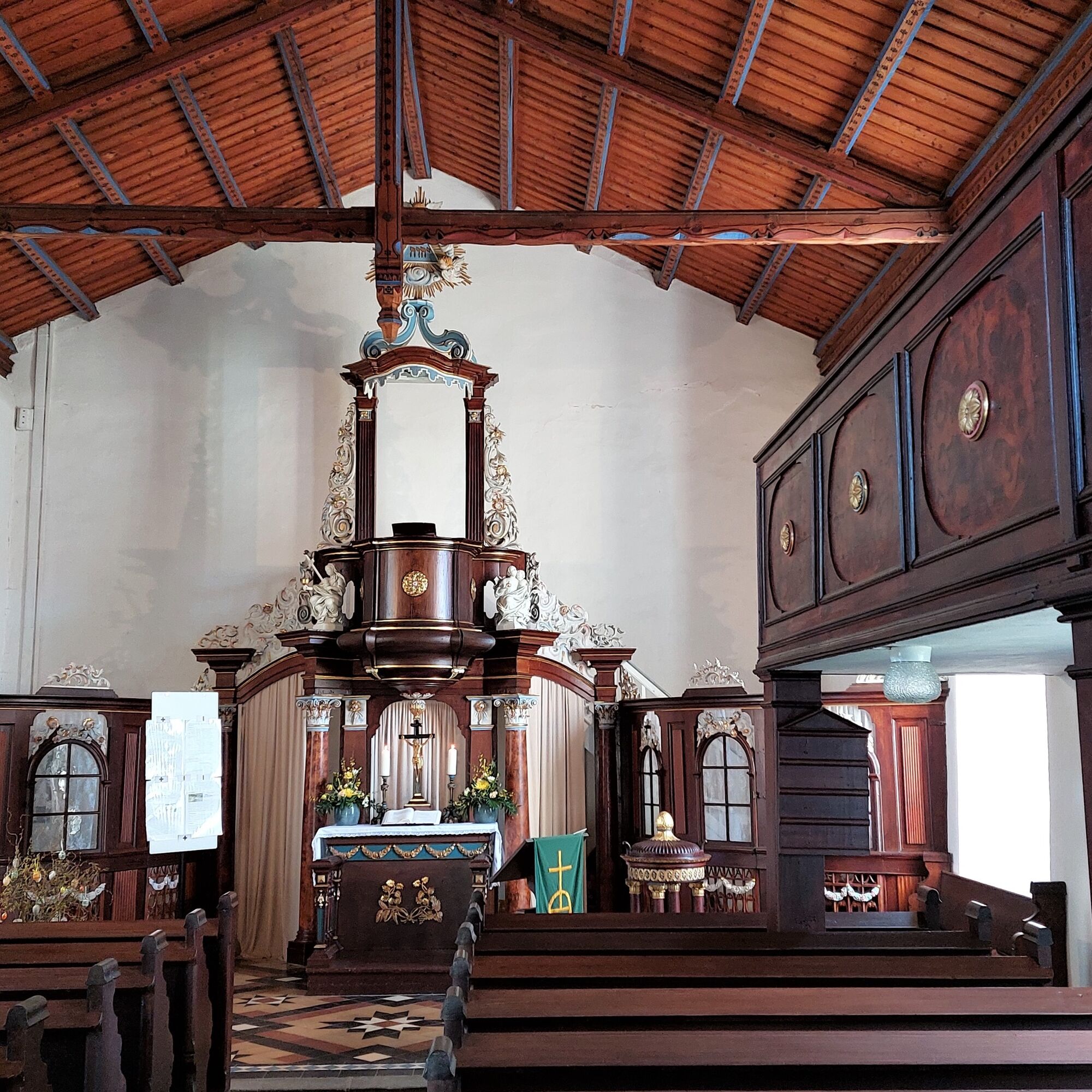
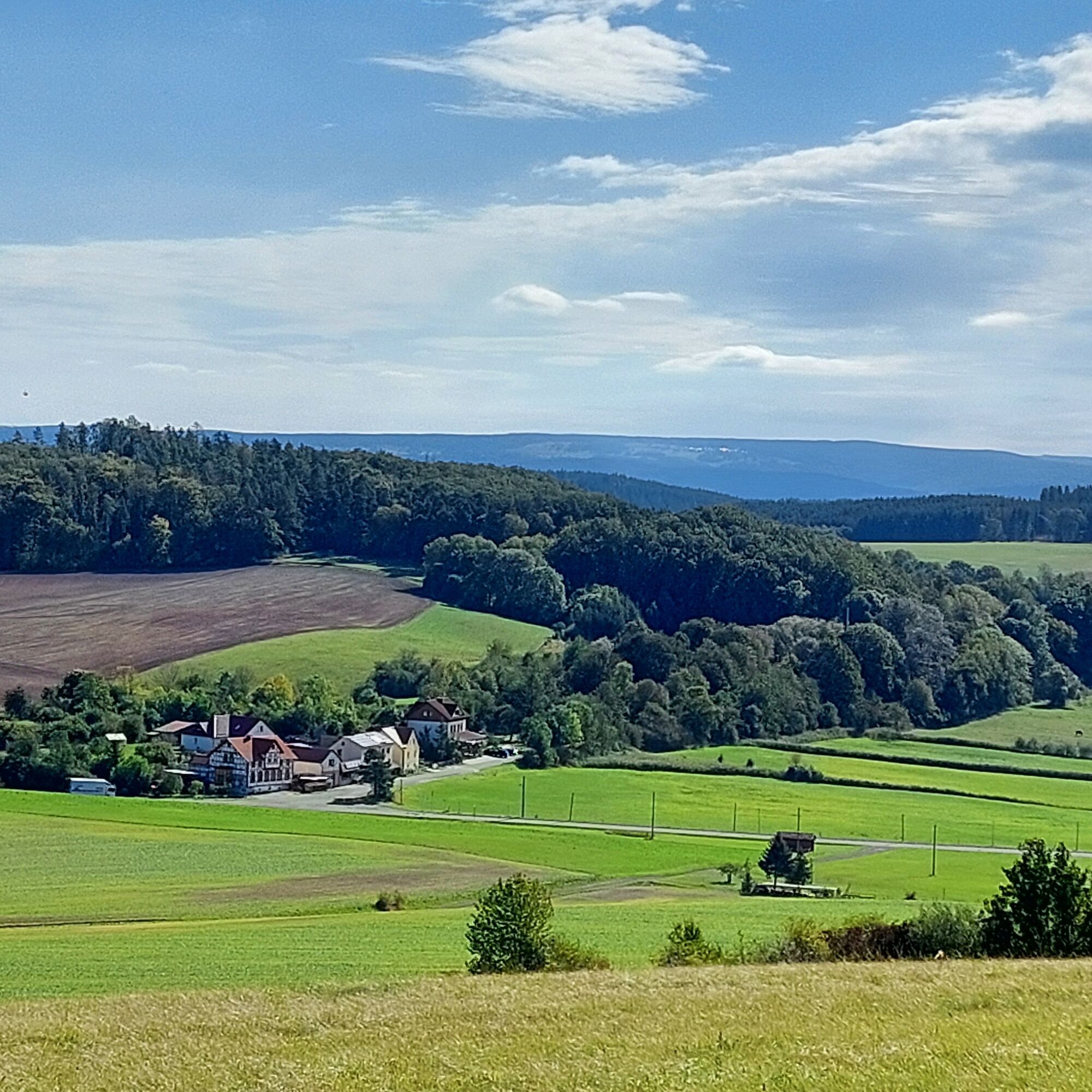

see description
Hiking-appropriate equipment is recommended.
In the area of the Tännreisig nature reserve, the hiking trails must not be left.
The A 71 has a Stadtilm motorway exit.
Arrival and departure by train. Stadtilm is located on the Erfurt-Arnstadt-Saalfeld railway line. There is an hourly schedule.
Additionally, Stadtilm is well connected by several bus lines in public transport.
Singen has a stop with a two-hour schedule on the Erfurt-Arnstadt-Saalfeld railway line. This is ideal to split the route into two half-stages.
At the starting point in Stadtilm (market), paid parking is available.
T2
A signposting/marking is currently not yet available. Hiking is only possible using gpx data.
Impressive distant views over the Ilm valley, the Singer Berg, and the Thuringian Forest. A hiking route away from crowded paths.

Oblíbené prohlídky v okolí
-
4.8
Circular hiking trail - "To the most beautiful viewpoints" - Thuringian Forest
středníTuristika 12.8 km -
4.0
Arnstadt - Bittstadt - Holzhausen - Haarhausen
středníTuristika 20.1 km -
„Auf den Spuren starker Frauen" - Pilgern in Thüringen
středníPoutní stezka 54 km -
„Von Bach zu Goethe"
středníTuristika 32 km -
Circular hike - "Friedrich Fröbel" - Bad Blankenburg
heavyTuristika 14.4 km -
5.0
Kleinbreitenbach Art Walking Route
světloTematická stezka 2.88 km -
Circular hiking trail - Arnstadt - Jungfernsprung - Alteburg
středníTuristika 10.7 km -
Hiking path - bobsleigh and toboggan path - Ilmenau - Thuringian Forest
středníTuristika 9.60 km -
Hike - "From Bach to Goethe" - From Arnstadt to Ilmenau - Thuringian Forest
heavyTuristika 24.7 km -
Circular hiking trail - Pearls of the lower Schwarzatal - Bad Blankenburg
heavyTuristika 15.3 km
Pěší turistika a stopování


Nenechte si ujít nabídky a inspiraci pro vaši příští dovolenou
Vaše e-mailová adresa byl přidán do poštovního seznamu.





