







Circular hiking route - 6 Kilometerweg + Rennsteig - Neuhaus am Rennweg
A very nice round route for relaxation in the forest. The path gradually descends and ascends and is therefore classified as easy. Special features lie on the left and right of the path, such as the old...
A very nice round route for relaxation in the forest. The path gradually descends and ascends and is therefore classified as easy. Special features lie on the left and right of the path, such as the old viaduct of the Finstergrund Bridge. Those who want to end the hike after just under 7 km can use the train from Ernsthal, which runs hourly towards Neuhaus and Sonneberg.

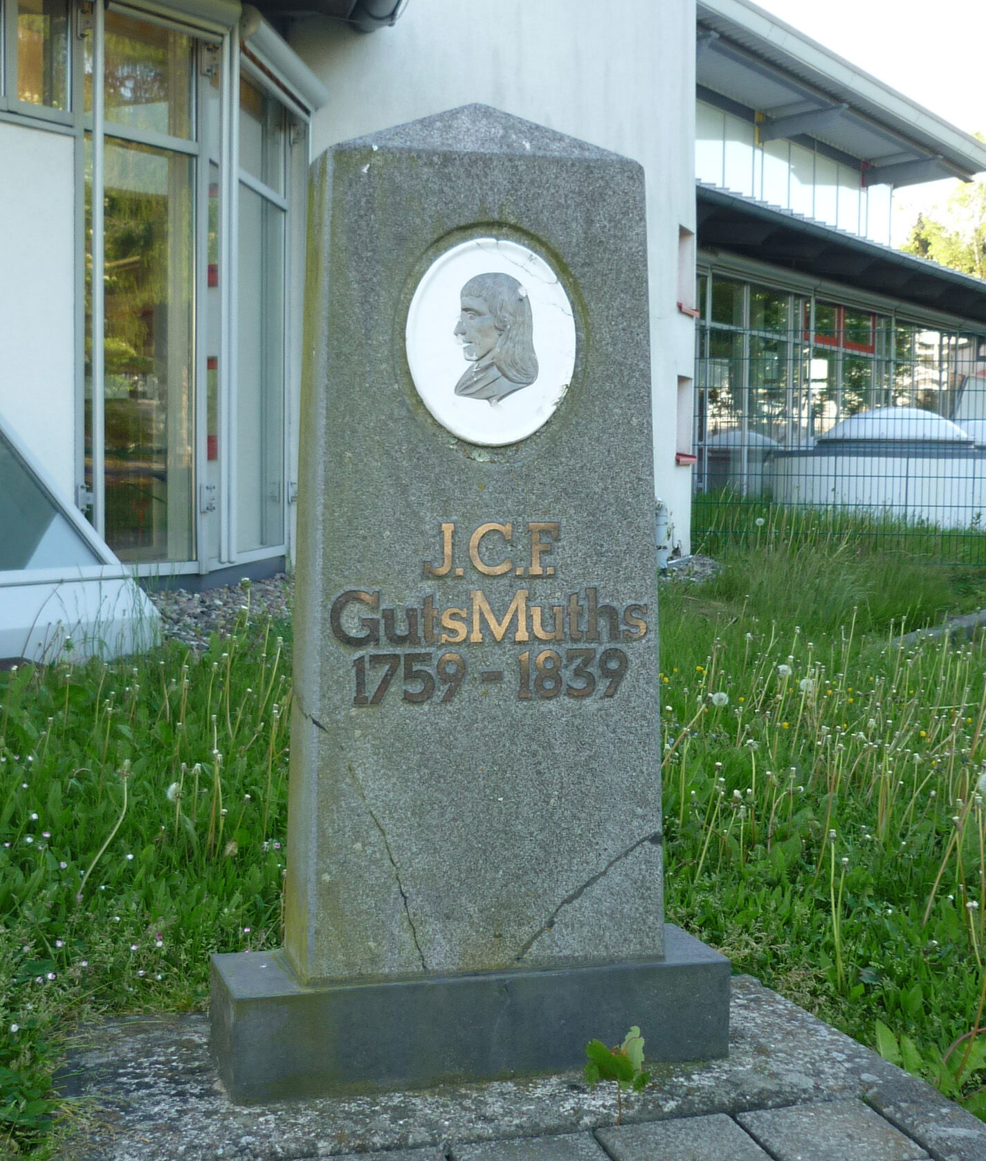
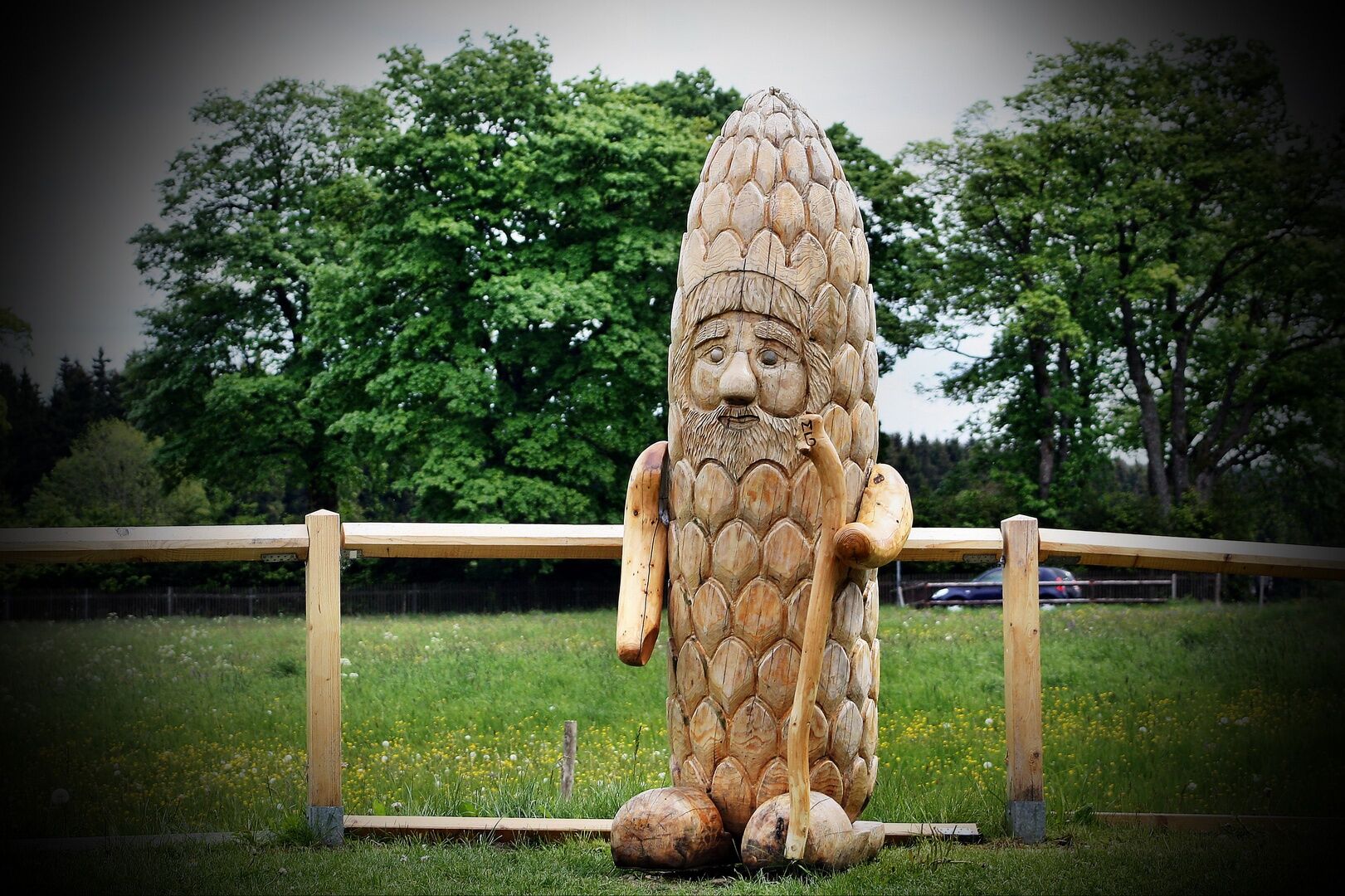

The path first leads along the Rennsteig down the Apelsberg to the gymnasium and then into the forest above the Schmalenbuchener cemetery. Through the forest, the 6 km path passes the Finstergrund Bridge, an old viaduct, to Ernsthal. There the path follows the road past Ernsthal station and Krebs Glas. Then you cross the tracks at the level crossing and hike along the Rennsteig at the edge of the forest to the Igelshieber cemetery. It continues along the road and the Rennsteig to Rennsteigstrasse. From there you return along the Rennsteig as at the beginning of the hike back to the Tourist Information at the station.
Ano
Ano
sturdy footwear
rainwear
drink supply
first aid kit
GPS navigation device or smartphone
Be aware of the typical dangers of the forest! Walking is at your own risk!
From the A73 take exit 5 (Eisfeld Nord) and then continue on the B281 towards Neuhaus am Rennweg.
You can travel directly to Neuhaus am Rennweg by bus or train.
Use the Par&Ride hiking car park opposite the Tourist Information (Google NAV Point)
Tourist Information Neuhaus am Rennweg
Bahnhofstraße 10
98724 Neuhaus am Rennweg
Tel. +49 3679 7890438
Finstergrund Bridge,
Krebs Glas,
Tourist Information in the Thuringian Forest Shop
Získejte přehled
Vždy živě na místě s více než 9 500 webkamerami. bergfex Jako uživatel Pro si nyní můžete zobrazit odpovídající webové kamery pro mnoho prohlídek v aplikaci prohlídky z. Můžete si tak přímo prohlédnout aktuální podmínky.

Oblíbené prohlídky v okolí
-
5.0
Circular hiking route - TOP 1 - Werra Source - Masserberg - Thuringian Forest
středníTuristika 5.94 km -
Circular hiking trail - "Sculpture Trail" - Hiking start Unterweißbach - Thuringian Forest
středníTuristika 24.4 km -
Circular route - "When Rennsteig meets the Schwarzatal panorama path" - Limbach
středníTuristika 9.68 km -
5.0
Meurasteine, Talsperre Leibis-Lichte
středníTuristika 13.4 km -
4.0
Circular hiking trail - TOP 2 - Masserberg - "Cultural Experience" - Friedrichshöhe - Thuringian Forest
středníTuristika 15.2 km -
Circular hike - Around the pumped-storage power plant - Goldisthal
středníTuristika 19.5 km -
5.0
Circular hiking trail - Nature educational path Lichtenhain - Hiking start Lichtenhain
středníTuristika 8.08 km -
Circular hiking trail - To the Leibis/Lichte drinking water reservoir - Hiking start Lichtenhain
středníTuristika 12.7 km -
Circular hiking trail - TOP 5 - "Family Fun" - House of Nature Goldisthal - Masserberg - Thuringian Forest
středníTuristika 8.12 km -
Terrain therapy trail Masserberg - TKW 4 Sommerberg/Dreiherrenstein - Thuringian Forest
středníTuristika 7.28 km

Pěší turistika a stopování


Nenechte si ujít nabídky a inspiraci pro vaši příští dovolenou
Vaše e-mailová adresa byl přidán do poštovního seznamu.





