







Nature Park Trail “Schwarze Kuppe” in Schleusingen
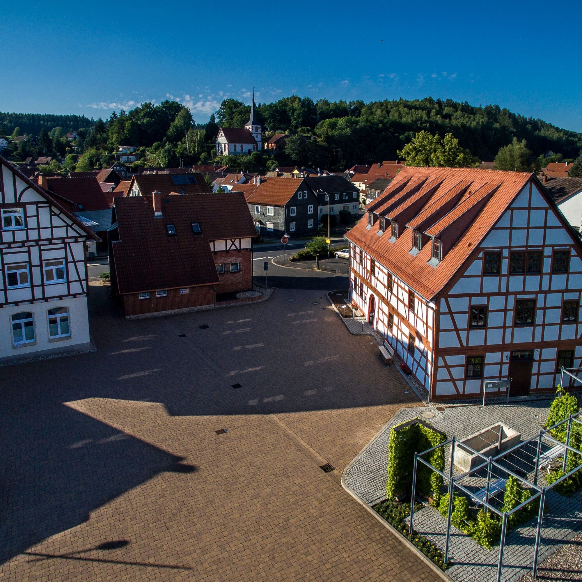
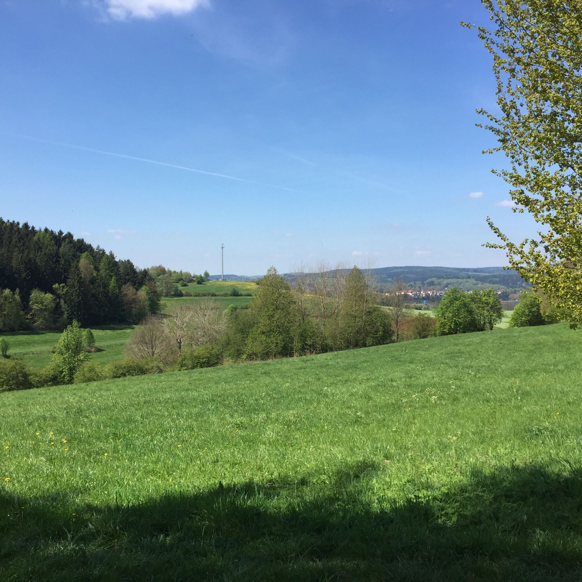
From the nature park gate “Waldauer Berg,” you reach Hinternah along the forest edge accompanied by wonderful views, with its late Gothic village church, an intact village mill, and the Brandsköppshaus...
From the nature park gate “Waldauer Berg,” you reach Hinternah along the forest edge accompanied by wonderful views, with its late Gothic village church, an intact village mill, and the Brandsköppshaus in the village center. The Ratschner Weg leads up to the Einfürst, on whose highest point in the late Middle Ages stood a pilgrimage chapel and a tavern. Today you can enjoy the wide view of the hills of the Grabfeld and the Rhön.
Here the Hohe Straße, which in the Middle Ages served as a trade route from Nuremberg to Leipzig via the Rennsteig, meets the A73 motorway, which nowadays paves the way over the mountains with impressive bridge structures, valley cuttings, and tunnels. Following the Hohe Straße, the path leads over the viewpoint Schwarze Kuppe and a magnificent mountain panorama of the peaks of the Thuringian Forest as a shortcut back to the nature park gate.
If you turn south towards the Schleuse valley and Waldau, the reddish sandy ground of the path stands out, indicating the nearby sand pit. Waldau offers the hiker culinary offers as well as a special cultural-historical gem with its village church. Historical murals have been discovered in the church.



The 11.3 km long circular hike between Schleuse and Nahe valley can be divided into two smaller hiking loops, as the nature park trail connects Waldau and the Schleuse valley with Hinternah in the Nahe valley. The path leads over paved field roads and idyllic meadow paths, such as through the Börnersgrund, mostly along forest edges.
Rainwear is advantageous for hikes in the low mountain foothills, as is waterproof footwear. With a GNSS device or navigation device or smartphone, you can easily find the way. A drink supply is recommended despite good refreshment options due to the 11.3 km length.
A first aid kit is included for emergencies.
Be aware of the typical dangers of the forest! The steep sections can be very slippery in wet weather, so it is advisable to wear sturdy footwear. You also partially hike on narrow paths.
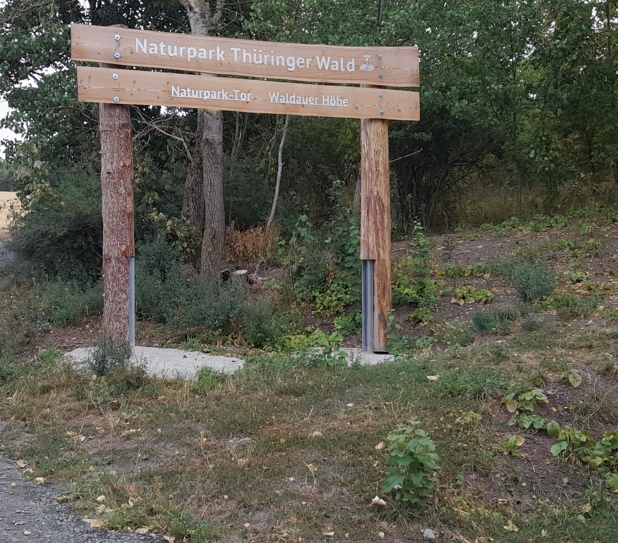
Please use the “Schleusingen” exit of the BAB73 and turn directly onto the L3004 towards Hinternah at the roundabout. In Hinternah, follow the country road and the signs to Waldau. At the highest point, turn onto a field path and after 200 m you will reach the nature park gate “Waldauer Höhe.”
Waldau and Hinternah are well connected to the public transport network. Buses run regularly. In Waldau and Hinternah, the bus stop is directly on the hiking trail.
In the two villages Hinternah and Waldau, there are sufficient parking spaces. It is best to use the parking spaces directly at the starting point of the hiking trail: the nature park gate “Waldauer Höhe.”
The mountain lake Ratscher with its popular bathing beach is just a stone's throw away.
In the picturesque Ansbach valley, a rest in the idyllic hiking hut is recommended before returning to the nature park gate via a steep ascent. Village inns and a snack bar provide refreshments.
Získejte přehled Vždy živě na místě s více než 9 500 webkamerami. bergfex Jako uživatel Pro si nyní můžete zobrazit odpovídající webové kamery pro mnoho prohlídek v aplikaci prohlídky z. Můžete si tak přímo prohlédnout aktuální podmínky. Oblíbené prohlídky v okolí
- 5.0
Naturlehrpfad Gießübler Schweiz
středníTuristika 7.99 km - 3.0
Circular hike - "4 ponds hike" Neustadt am Rennsteig - Thuringian Forest
heavyTuristika 12.6 km - 3.8
Rundweg Talsperre
středníJízda na kole 14.5 km The Rennsteig - long-distance hiking trail from Hörschel to Blankenstein - Thuringian Forest
heavydálková pěší trasa 169.0 km- 5.0
Circular hiking route - TOP 1 - Werra Source - Masserberg - Thuringian Forest
středníTuristika 5.94 km - 5.0
Rundtour Staudamm
světloTuristika 3.91 km - 5.0
Circular hike - To the Schönbrunn Dam - Frauenwald
středníTuristika 15.1 km - 5.0
Circular hiking trail - Dwarf trail Frauenwald - Thuringian Forest
světloTuristika 4.02 km - 3.0
Circular route - Panorama route Stützerbach - Terrain course TK 4
středníTuristika 10.4 km - 5.0
Circular hiking route - "Panorama View" - Schönbrunn - Thuringian Forest
středníTuristika 9.79 km
Pěší turistika a stopování


Nenechte si ujít nabídky a inspiraci pro vaši příští dovolenou
Vaše e-mailová adresa byl přidán do poštovního seznamu.





