






Circular Hiking Trail Sonneberg

Úroveň obtížnosti: T1
First, follow Ernst-Moritz-Arndt-Straße northwest to Bettelhecker Straße. Here, cross the street at the roundabout and hike "Am Eichberg" up to the lower Eichbergweg, which you then follow. Hikers are...
First, follow Ernst-Moritz-Arndt-Straße northwest to Bettelhecker Straße. Here, cross the street at the roundabout and hike "Am Eichberg" up to the lower Eichbergweg, which you then follow. Hikers are rewarded here with wonderful views of Sonneberg and the Franconian lowlands. Several sections offer views of the impressive railway viaduct on the Sonneberg - Eisfeld line, built at the beginning of the 20th century.
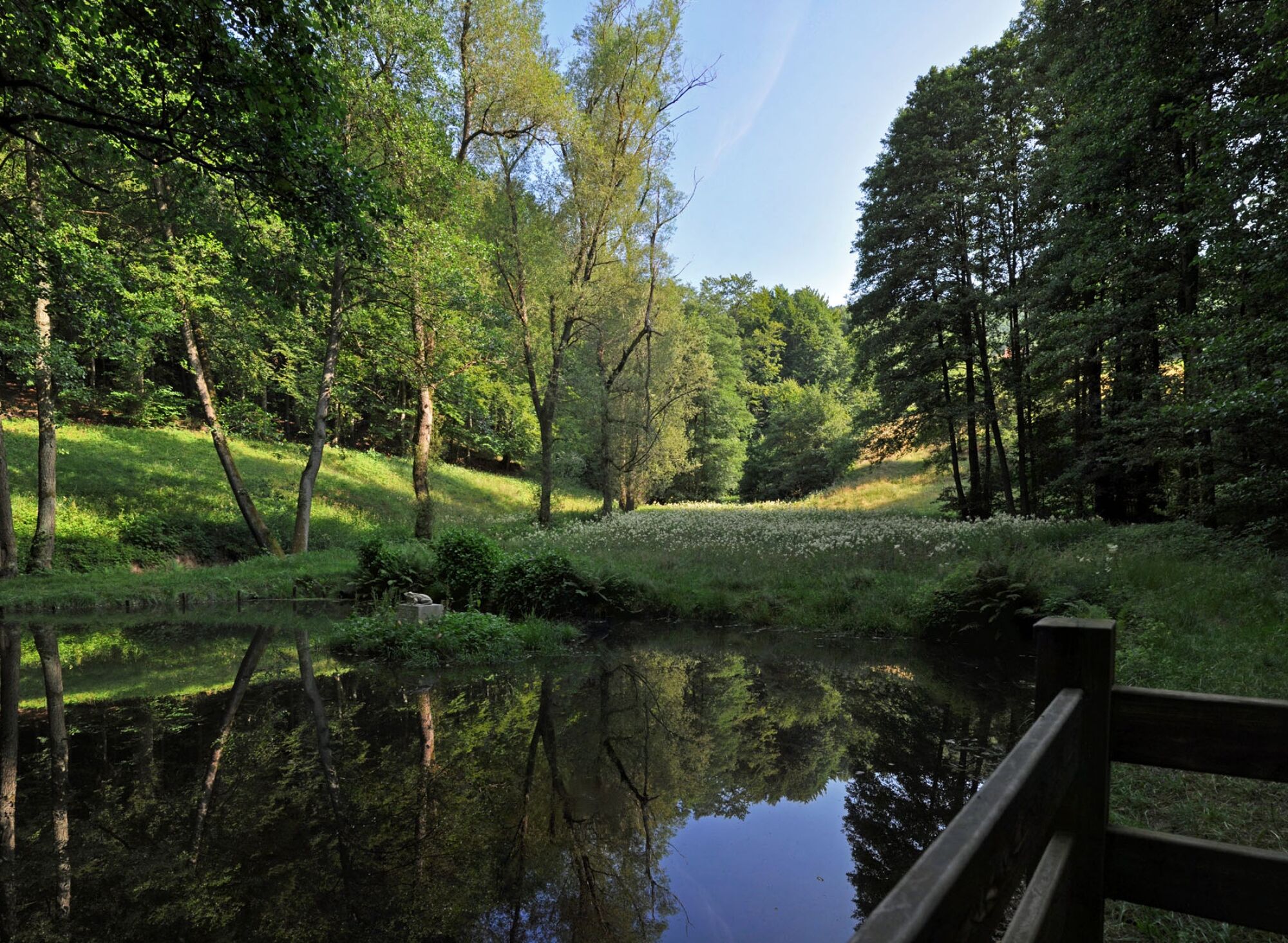
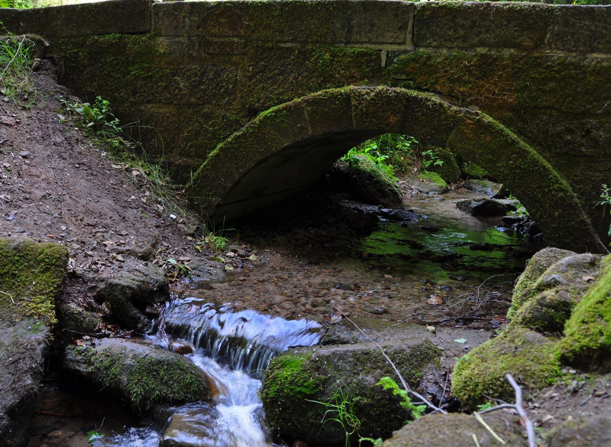
Follow the lower Eichbergweg to the Frog Pond. From here, hike the wildly romantic Teufelsgraben, a dry valley in Buntsandstein sandstone, on a narrow path uphill. Upon reaching the lightly trafficked Forschengereuther Straße, turn right and follow it to the "Ziegelhütte" intersection.
In sight on the right is the Schlossberg with its castle-like buildings. A detour there is worthwhile. Since Schlossberg rises over 500 meters above the town, charming views of Sonneberg and surroundings open up here.
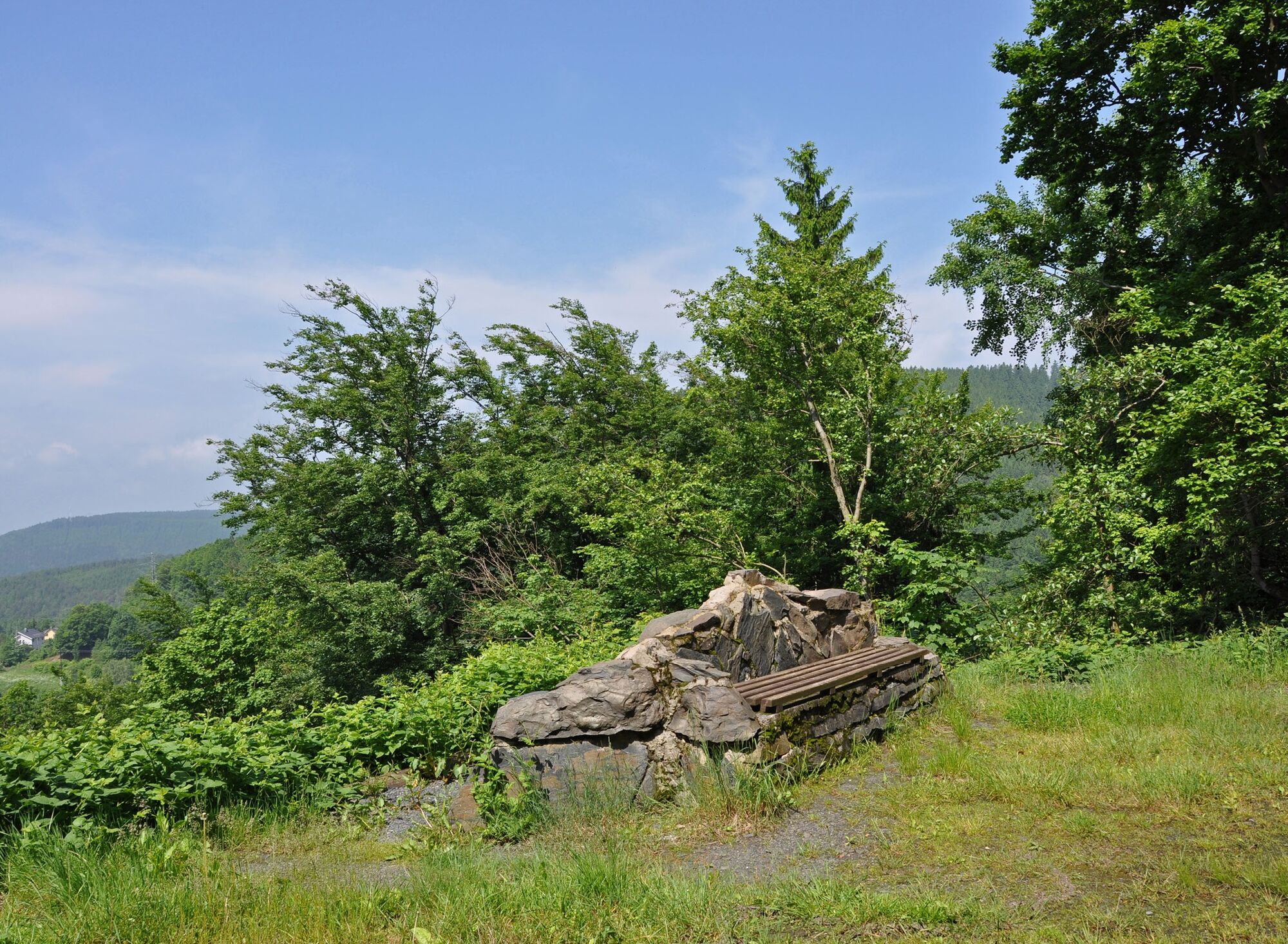
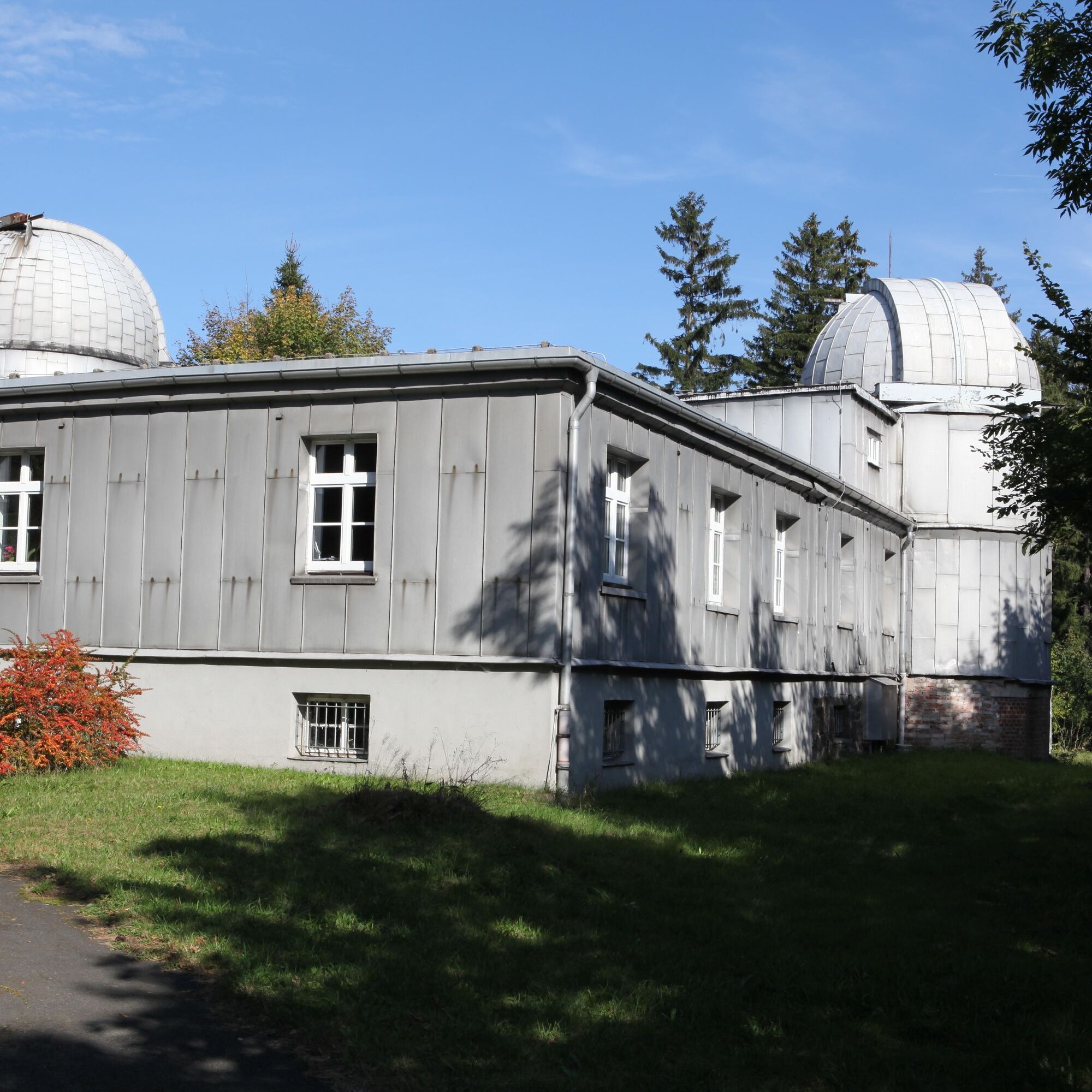
Back at the "Ziegelhütte" intersection, follow the signs and hike a narrow path down into the Röthengrund, which you follow initially. At the next fork, Teddy and Doll guide you right uphill onto the Philosophenweg. This path fascinates with varied views that can be enjoyed at the "Freysoldsruh" during a rest. Later, the route leads over the Stadtberg to the heights of the Neufang district (630 m). Upon arriving at the bus turnaround (end of city bus line C), turn into Sternwartestraße and soon reach what was once Germany's highest observatory with Astronomy Museum on Erbisbühl (637 m). The path continues through Neufang past the cemetery and onto Waldstraße toward Schönberg, where the zoo with petting enclosure invites a stop. From the zoo height, the tour runs parallel on the forest path to the "Waldhaus". During a rest, enjoy wonderful views of Sonneberg and far into the Sonneberg lowlands. In good weather, Veste Coburg can also be seen in the distance.
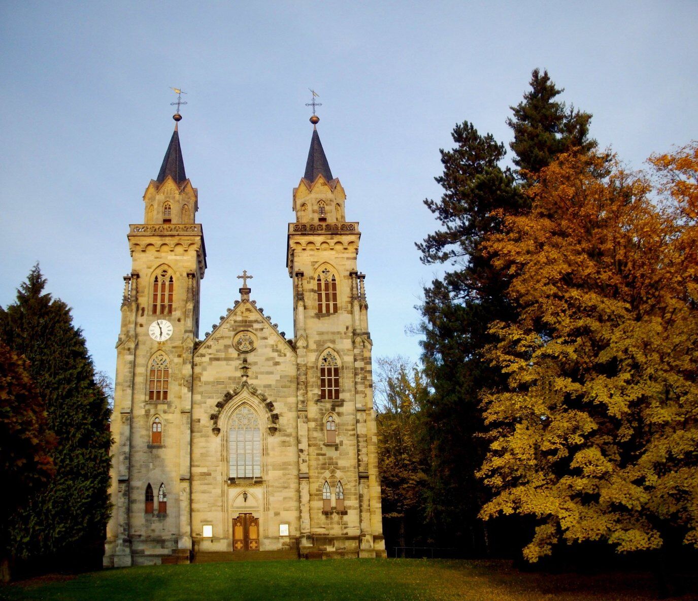
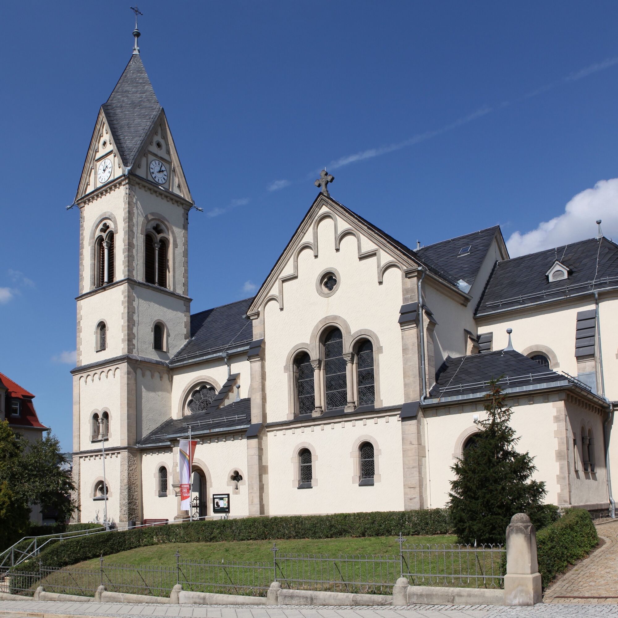
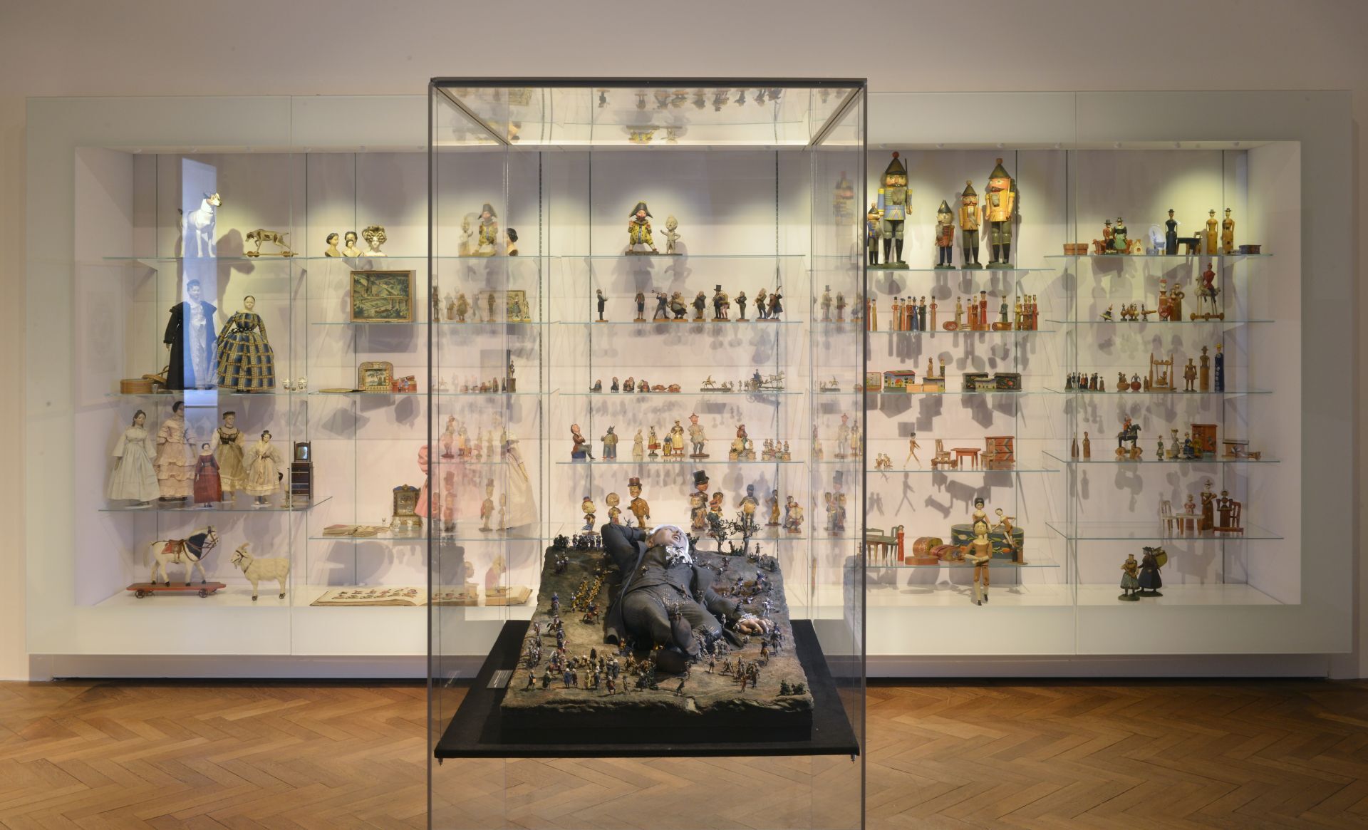
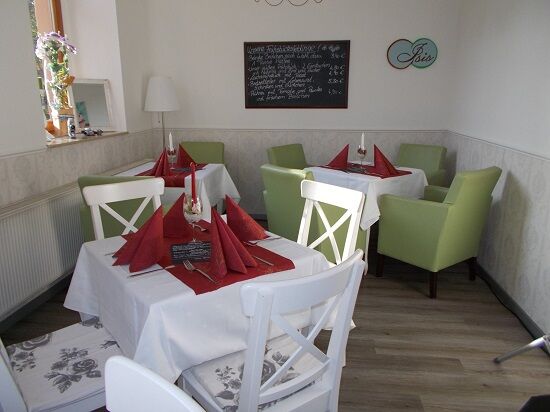
The hike continues back into town. After a few meters through the "Waldhaus" garden area, cross Schönbergstraße and reach Lutherhaus, a restaurant with a historic atmosphere. Upon reaching Kirchstraße, the Protestant town church St. Peter is visible on the right. Before that, turn left onto Beethovenstraße. Here you arrive directly at the German Toy Museum, Germany's oldest special collection for toys (1901). A visit is highly recommended!
Via Juttaplatz and Bahnhofstraße, you finally return to the town center and your starting point.






Tourist Information & Nature Park Center Sonneberg - Ernst-Moritz-Arndt-Straße northwest to Bettelhecker Straße - cross the street at the roundabout and hike "Am Eichberg" up to the lower Eichbergweg - Frog Pond - Teufelsgraben - Forschengereuther Straße - "Ziegelhütte" intersection - Röthengrund - Philosophenweg - Observatory with Astronomy Museum - Waldstraße towards Schönberg - "Waldhaus" garden area - Lutherhaus - Beethovenstraße - German Toy Museum - Juttaplatz and Bahnhofstraße - Tourist Information & Nature Park Center Sonneberg
Marking: Teddy and Doll in front of a yellow sun
Sturdy footwear
Rainwear
First aid kit
GPS navigation device or smartphone
You can conveniently reach Sonneberg by German Rail from Nuremberg or by the South Thuringia Railway from Eisenach or Neuhaus am Rennweg.
Parking at the main station
T1
Bahnhofsplatz 3
96515 Sonneberg
Phone: 03675 702 711
Fax: 03675 742 002
Email: tourismus@stadt-son.de
City tour with your smartphone
The circular hiking trail Sonneberg takes you right into the toy town. Use this section for a free city tour with your smartphone. Here's how it works: Download the free Lauschtour app from the AppStore or Google Play and start downloading the Sonneberg tour.
Sights
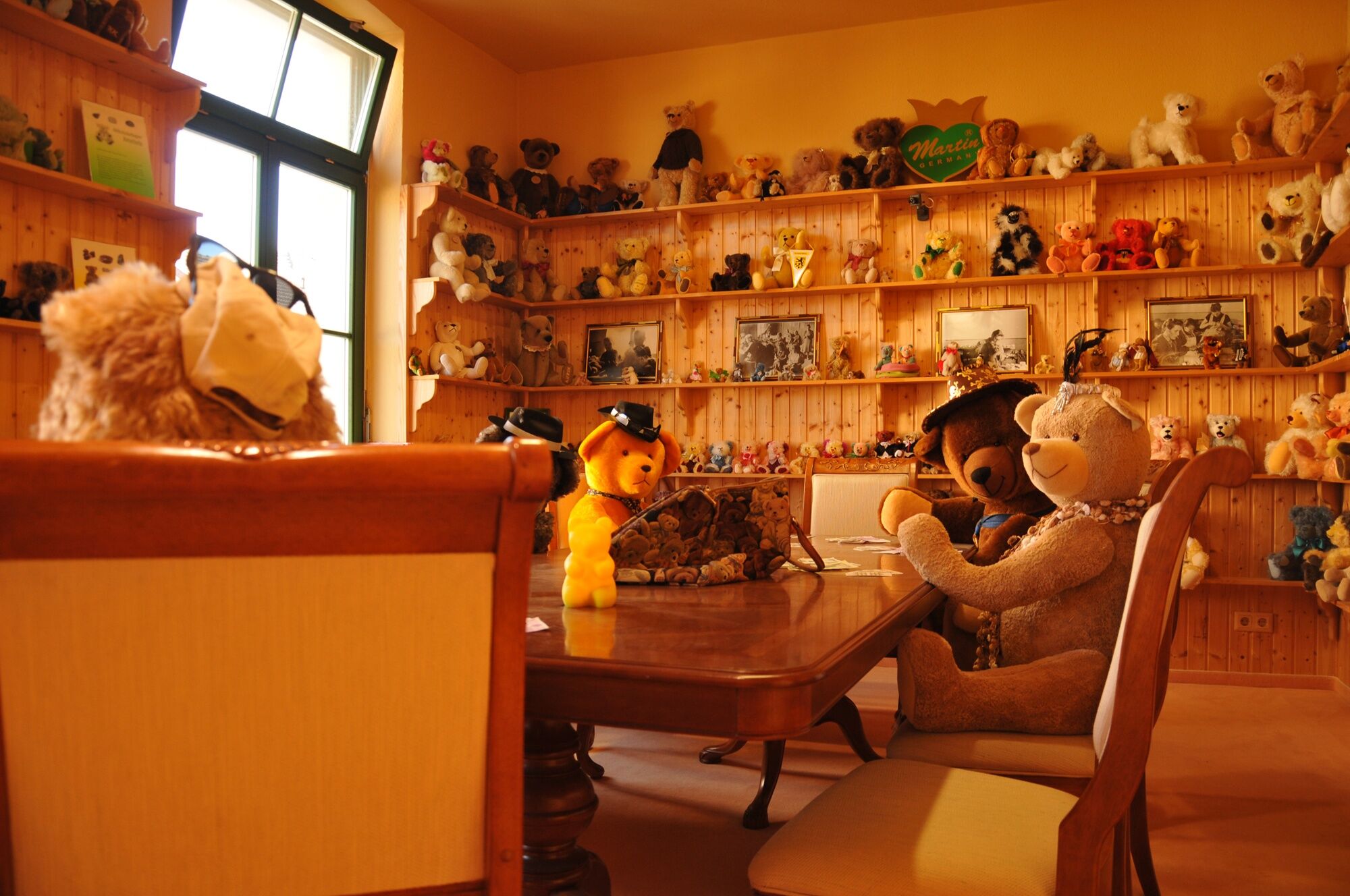
On this hike, you'll pass almost all the important stops of the toy town. Whether the German Toy Museum, Martin Bären, Tiergarten, or Astronomy Museum – be sure to take a look inside!
Refreshment at Königsee
In the district of Neufang, you can picnic extensively at Königsee and let your soul relax. Tired feet will certainly find refreshing relief in the cool water. Originally a greywacke quarry, a water vein was hit in 1895 while breaking stone.
Despite many efforts, the water could not be diverted, and the quarry had to be abandoned. From an initially small pond, over the years a small lake emerged, which the residents used for laundry, and in winter for ice breaking for the Sonneberg breweries. By the late 1920s, a lively bathing operation developed during the summer months with visitors from Sonneberg and the surrounding villages. Today, Königsee is a popular destination for young and old.
Oblíbené prohlídky v okolí
-
Circular route - "When Rennsteig meets the Schwarzatal panorama path" - Limbach
středníTuristika 9.68 km -
Teufelskanzel-Saulochklamm-Einberg
středníTuristika 7.73 km -
Nature Park Trail - Griffel Path in the Thuringian Forest
heavyTematická stezka 6.45 km -
Rundweg Muppberg Ne2
středníTuristika 3.46 km -
Circular hike - Glass and porcelain tradition on the Rennsteig - Spechtsbrunn
středníTuristika 13.4 km -
Circular Hike - "Schaumberger Land Panorama Trail" - Eisfeld - Thuringian Forest
heavyTuristika 74.2 km -
Circular hike - "6-Kuppen-Steig" - Steinach - Thuringian Forest
středníTuristika 37.1 km -
Hike - Rennsteig - Stage 6 - From Friedrichshöhe to Spechtsbrunn
středníTuristika 23.0 km -
Rennsteig stage run - 2nd stage Spechtsbrunn - Neustadt am Rennsteig
středníTrailrunning 39.8 km -
Prinzregentenweg
středníTuristika 4.19 km
Pěší turistika a stopování


Nenechte si ujít nabídky a inspiraci pro vaši příští dovolenou
Vaše e-mailová adresa byl přidán do poštovního seznamu.





