


Nature Park Trail - Griffel Path in the Thuringian Forest
Úroveň obtížnosti: T1
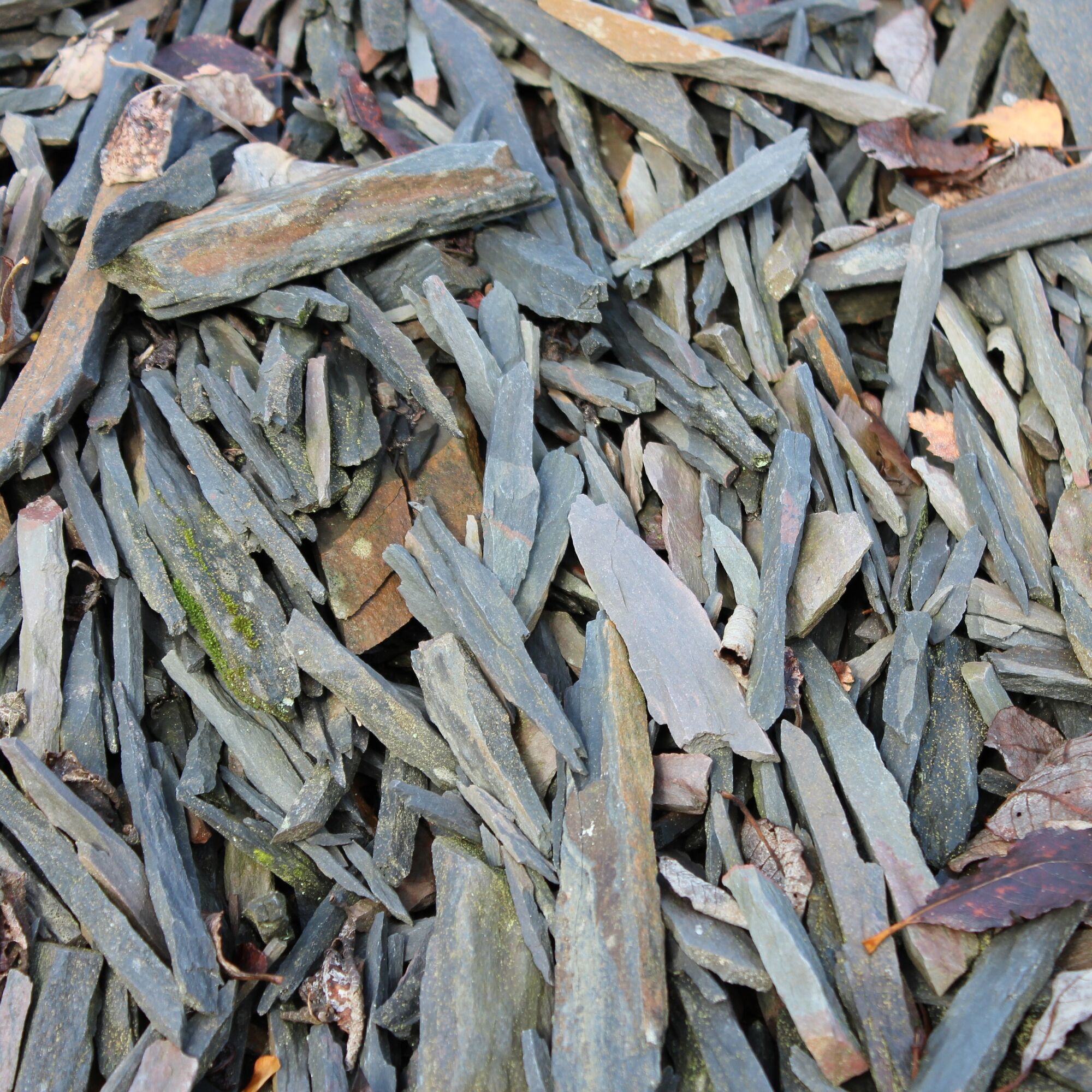
The Griffel Path is a historical-geological circular hiking trail near Steinach in the National Geopark Slate Land. The 6.6 km thematic trail is dedicated to writing slates – pencils made of stone. It...
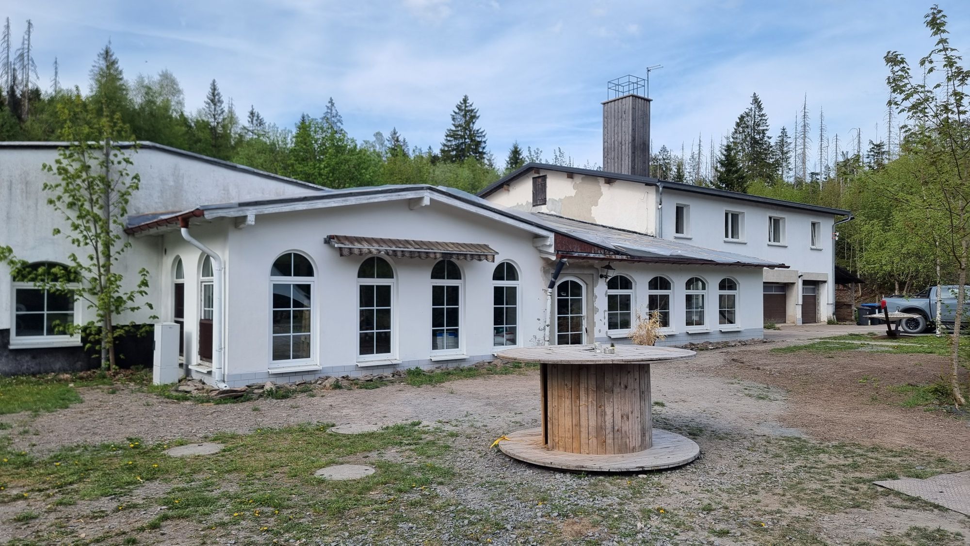
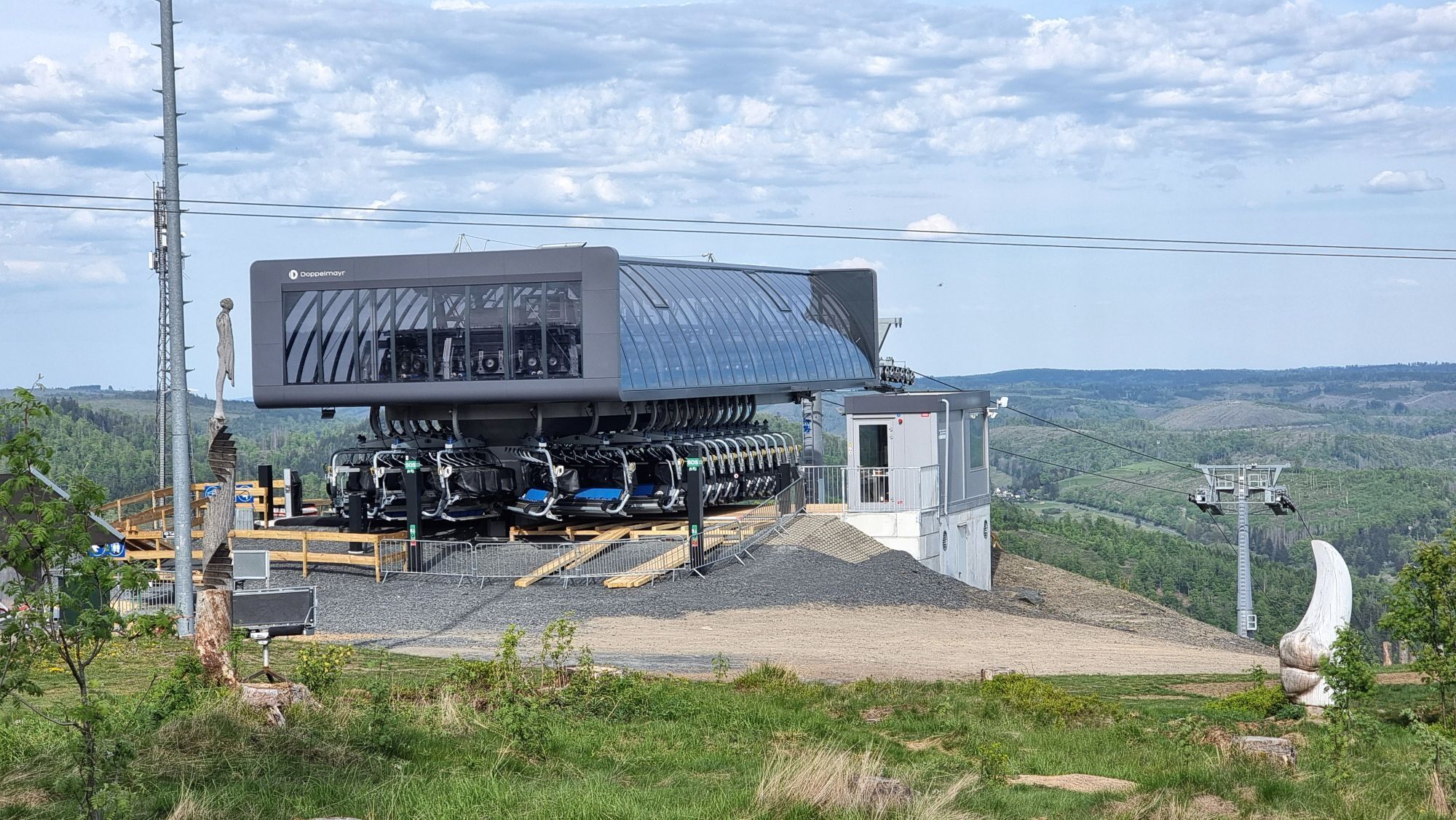
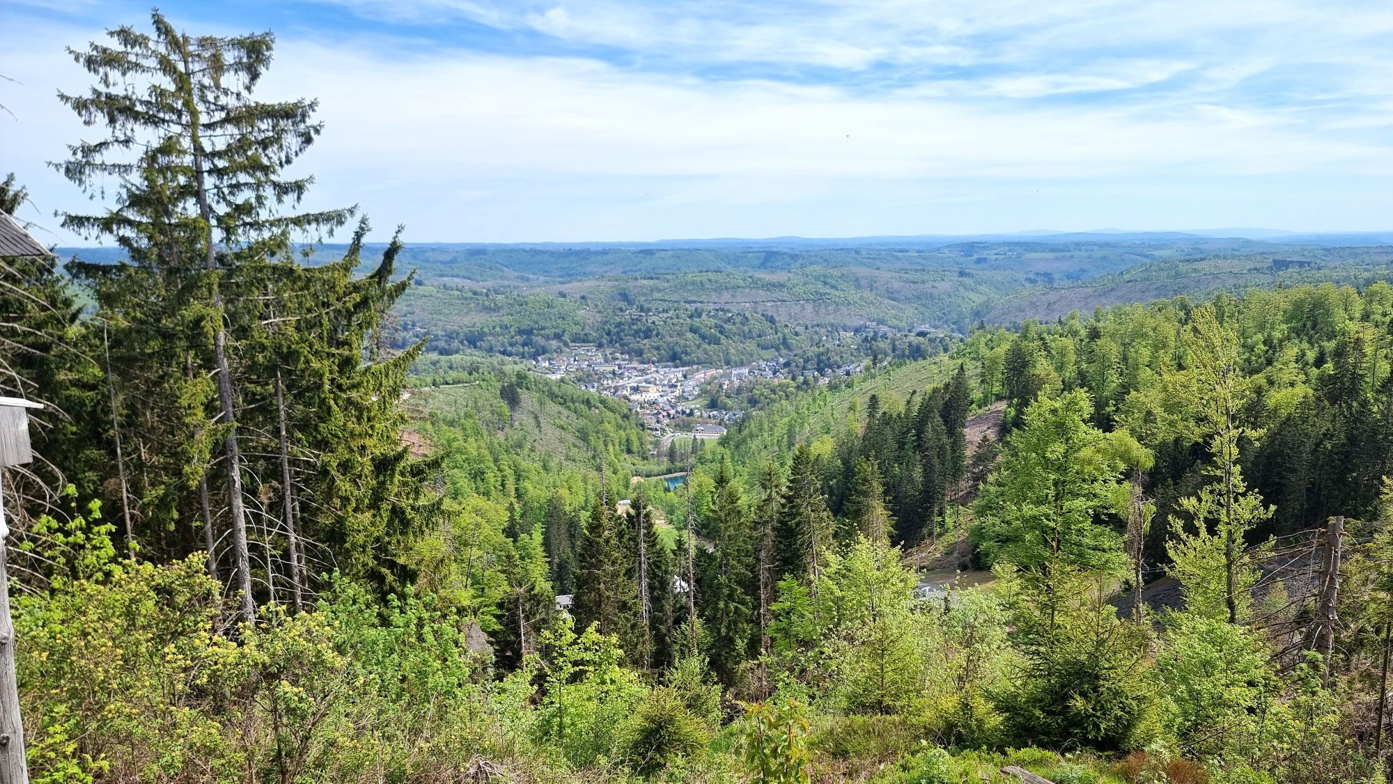
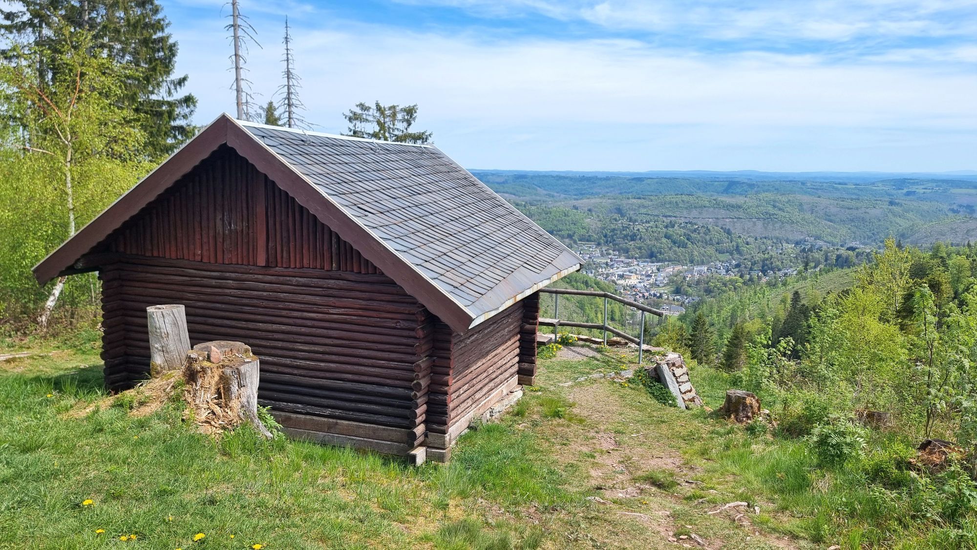
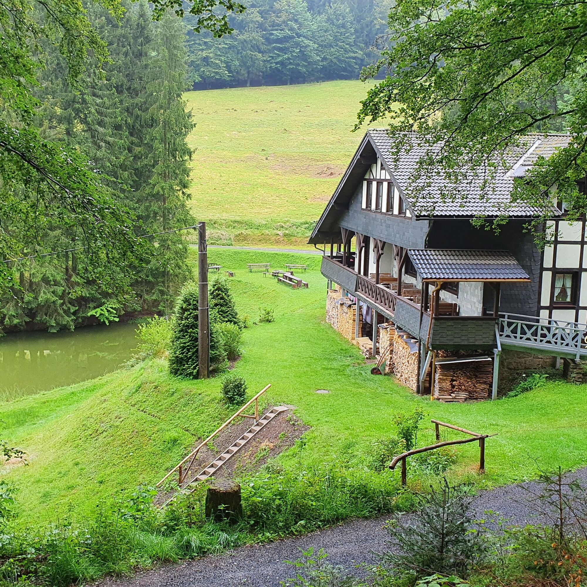
The Griffel Path is a historical-geological circular hiking trail near Steinach in the National Geopark Slate Land. The 6.6 km thematic trail is dedicated to writing slates – pencils made of stone. It leads the hiker from the Ski Arena Silbersattel car park up steep paths to the 842 m high Fellberg. A total of 300 meters of elevation must be overcome. Along the way, display panels describe the geological features and the production of the slate pencils. The route leads to the oldest and world-famous slate quarry and three other abandoned quarries. Viewpoints overlooking the slate mountains, the Franconian Forest, and the Main valley, heaps, tunnels, and sites of slate pencil processing, a chairlift, as well as rest areas, inns, and accommodation offer variety and invite the hiker. Nature lovers will be thrilled by the Leierloch nature reserve: rock formations and natural forest are home to rare species of animals and plants. On request, the Thuringian Forest Nature Park or the tourist info of the slate town Steinach offer guided tours on the Griffel Path.


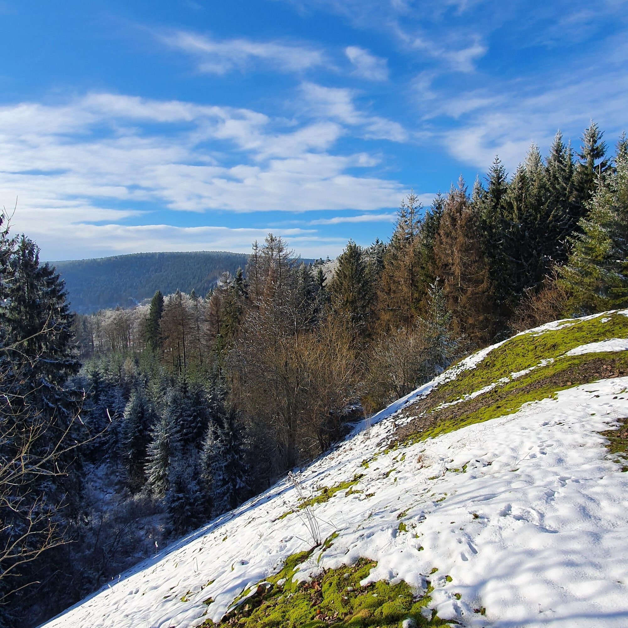


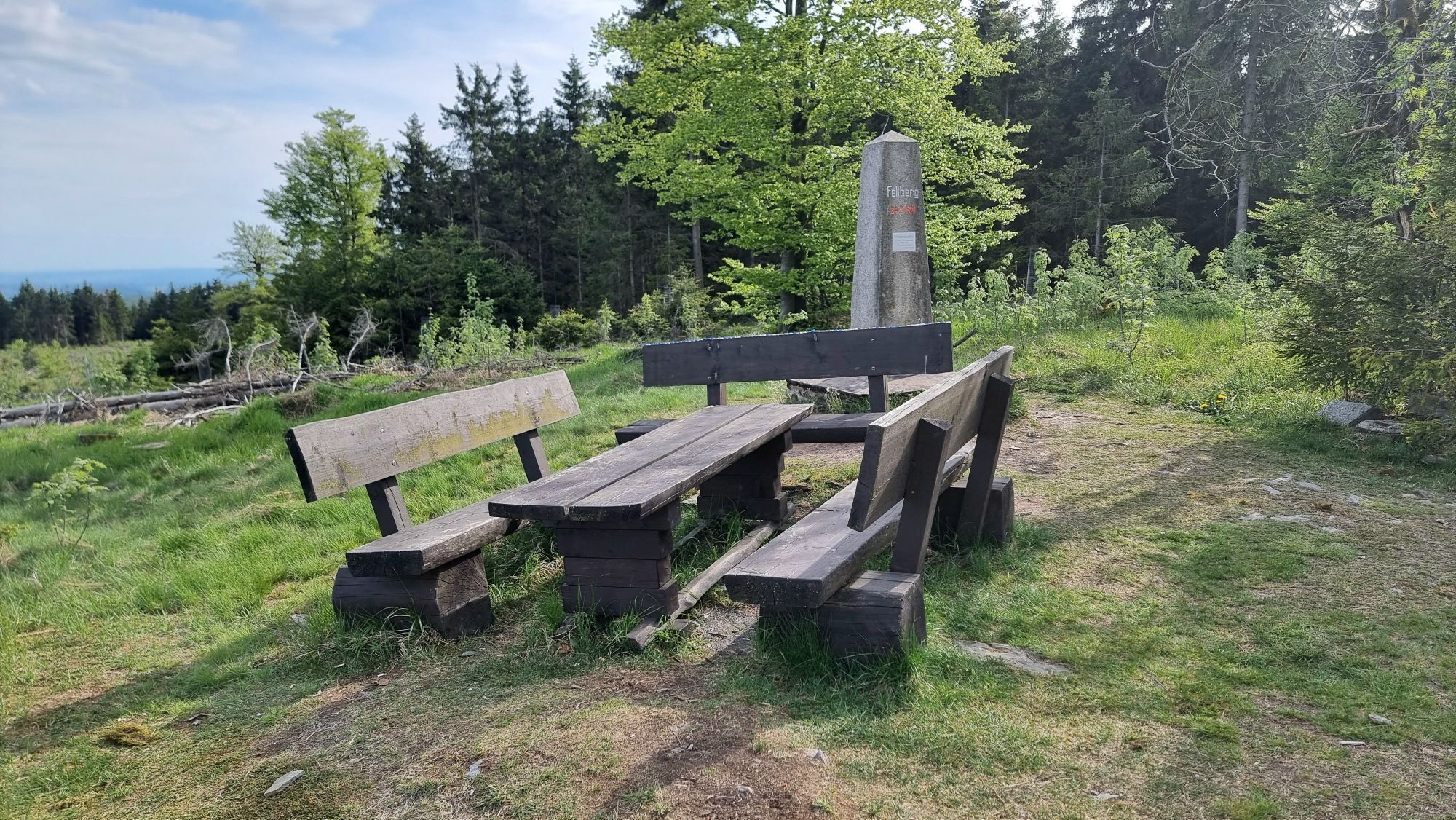
At the beginning of the route, there is a steep ascent over the former Bremsberg heading northwest. Passing the connecting tunnel, you reach the spoil heap of the Pathelsbruch. Here and at the Milonsruh shelter, there are magnificent views, and with good visibility, Steinach lies at the hiker's feet. The Rennsteig, the Franconian Forest, the Fichtel Mountains with Schneeberg, and the Ochsenkopf are all within sight. The route continues uphill to the top station of the chairlift at the Ski Arena Silbersattel. Nearby is the Fellbergstein - 842 m above NHN. From the summit of Fellberg, the path descends narrowly westward through the Griffelbruch to the Fellberg hut. The path then leads south along a wide forest road to the next crossroads. After further descent, you reach the Leierloch, a total nature reserve. Further downhill you reach the Waldfrieden inn. Almost effortlessly, you reach the Steinbächlein before climbing again toward the Plattenburg. After crossing the steep slope of the Ski Arena Silbersattel at its valley station, you reach the slate quarry Steinbächlein. On a forest road, you return to the starting point of the route at the Nature Park route Thuringian Forest - Steinach.
Ano
Ano
Ano
Ano
Sturdy footwear and weatherproof clothing should be worn, as cool winds blow in exposed areas.
The paths are partly exposed and slippery. Surefootedness is required.
Motorway A73 to exit Eisfeld North 5, continue on B 281 south, in the roundabout take the third exit onto B281 towards Neuhaus. In Steinheid turn right onto L1148 towards Steinach. At the entrance to Steinach follow the road to Silbersattel.
Arrival in Steinach
At the Nature Park Gate Steinach, there is a free large car park available
T1
A visit to the ice walls in the wintery Leierloch and a ride with the chairlift over the Griffelbruch in Steinbächlein.
Oblíbené prohlídky v okolí
-
5.0
Circular hiking route - TOP 1 - Werra Source - Masserberg - Thuringian Forest
středníTuristika 5.94 km -
Circular route - "When Rennsteig meets the Schwarzatal panorama path" - Limbach
středníTuristika 9.68 km -
Circular hike - Around the pumped-storage power plant - Goldisthal
středníTuristika 19.5 km -
Circular hiking trail - TOP 5 - "Family Fun" - House of Nature Goldisthal - Masserberg - Thuringian Forest
středníTuristika 8.12 km -
Terrain therapy trail Masserberg - TKW 4 Sommerberg/Dreiherrenstein - Thuringian Forest
středníTuristika 7.28 km -
Panoramaweg Schwarzatal - 3rd stage Cursdorf to Scheibe-Alsbach - Thuringian Forest
heavyTuristika 18.8 km -
Rundweg Muppberg Ne2
středníTuristika 3.46 km -
Circular hike - Glass and porcelain tradition on the Rennsteig - Spechtsbrunn
středníTuristika 13.4 km -
Circular hike - "6-Kuppen-Steig" - Steinach - Thuringian Forest
středníTuristika 37.1 km -
Circular hike - over the Wurzelberg to the upper reservoir - hiking start Goldisthal
heavyTuristika 13.7 km
Pěší turistika a stopování


Nenechte si ujít nabídky a inspiraci pro vaši příští dovolenou
Vaše e-mailová adresa byl přidán do poštovního seznamu.