






Circular hiking route - From Hinternah to Maiburg - Thuringian Forest
On the southern side of the Thuringian Forest, between Vessertal and the Auengrund, lies the small village of Hinternah.
Here begins and ends a small but idyllic circular hiking route up to Maiburg. The...
On the southern side of the Thuringian Forest, between Vessertal and the Auengrund, lies the small village of Hinternah.
Here begins and ends a small but idyllic circular hiking route up to Maiburg. The route is about 3.5 km long and is therefore more suitable for an afternoon stroll than a proper hiking tour.
Still, the area around Hinternah does not have to shy away. You leave the village over the extensive fields up to the forest edge and follow the path to a resting bench. From here, you have a wonderful panoramic view towards Mühlberg, the Silbacher Kuppe, the Stutenhaus, the Adlersberg, Schleusingen, and down into the Schleuse valley.
Especially at the beginning of autumn, when the days get shorter and the sun stands a bit lower than in the warm midsummer, there are many moments in the early morning or evening when the whole valley is covered in a kind of golden veil.

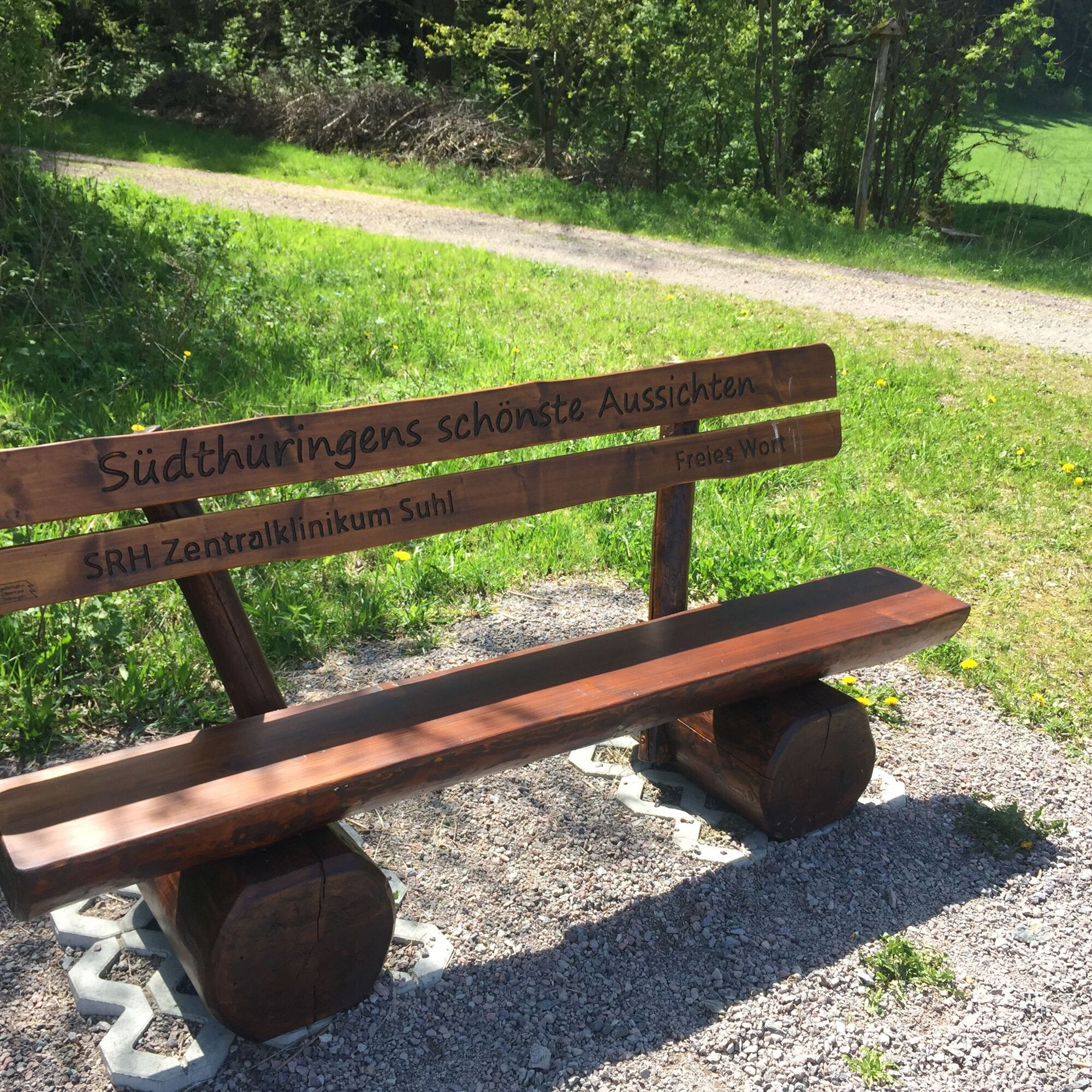
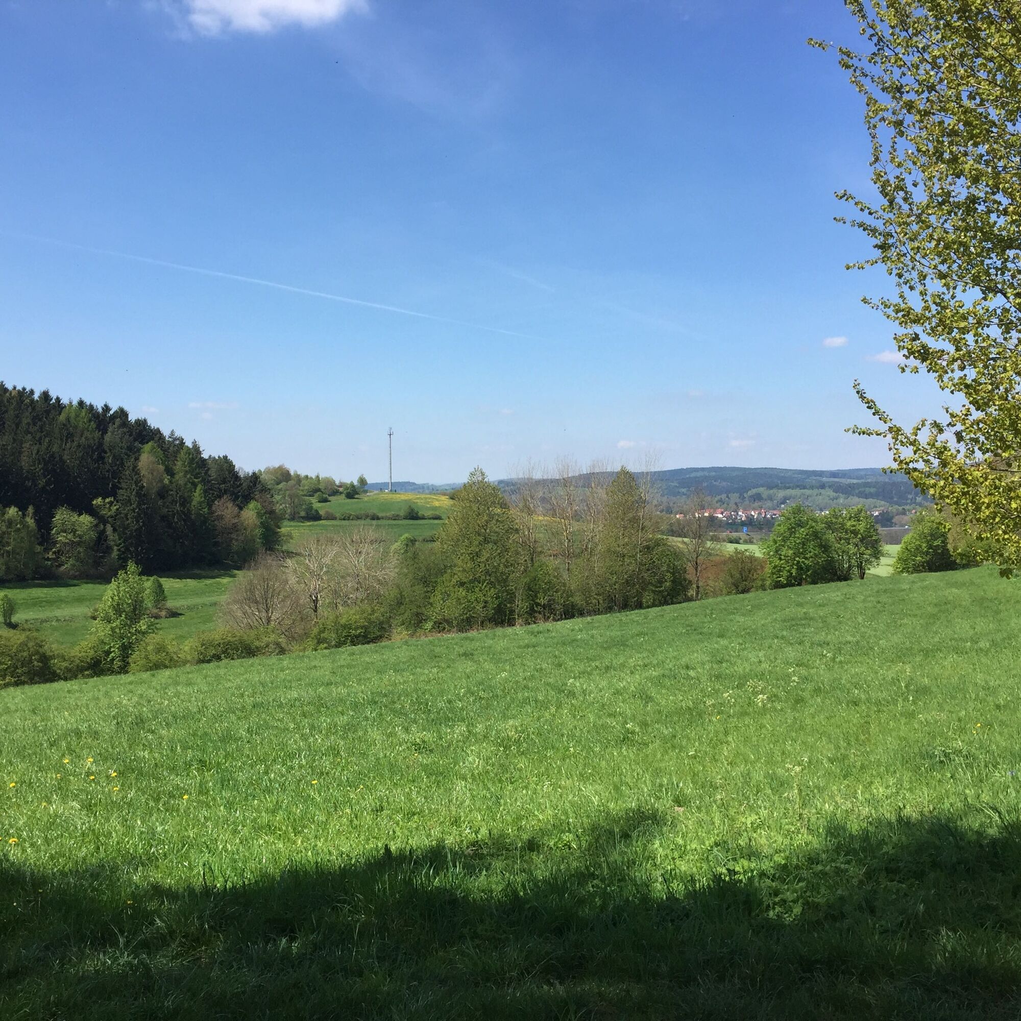
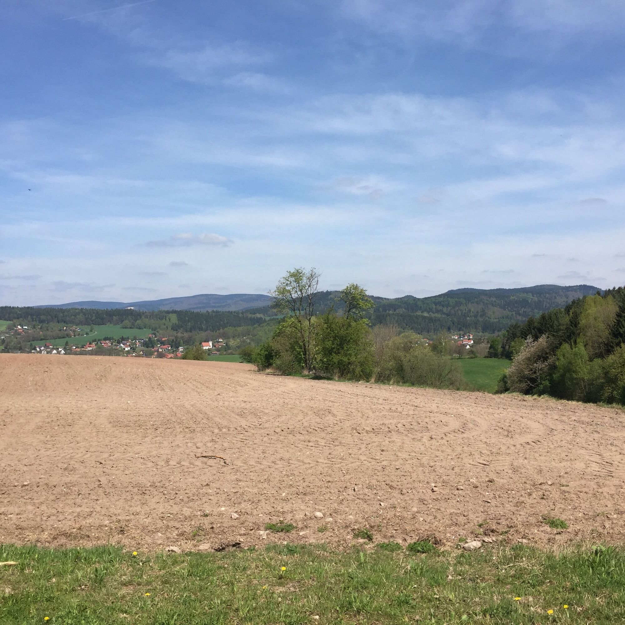

Bahnhofstr. Hinternah - Eisersgrund - Maiburg - Bahnhofstr. Hinternah
Ano
Sturdy footwear, rain gear, first aid kit
Pay special attention to secure footing, especially in bad weather and on wet ground, and do not leave the marked route.
Coming from the A73 take exit 4 (Schleusingen) and continue northeast on L3004 towards Schmiedefeld. The next village is Hinternah.
From Suhl, bus line 809 runs towards Hinternah (Mon - Fri). On special occasions, the special trains of the Rennsteigbahn (heritage trains) also run on the old route from Rennsteig station towards Schleusingen. http://www.rennsteigbahn.de/
Use the Deutsche Bahn travel information service to plan your journey.
Use the parking facilities in the village.
This path is especially suitable for short walks.
Získejte přehled
Vždy živě na místě s více než 9 500 webkamerami. bergfex Jako uživatel Pro si nyní můžete zobrazit odpovídající webové kamery pro mnoho prohlídek v aplikaci prohlídky z. Můžete si tak přímo prohlédnout aktuální podmínky.
Oblíbené prohlídky v okolí
-
5.0
Naturlehrpfad Gießübler Schweiz
středníTuristika 7.99 km -
3.0
Circular hike - "4 ponds hike" Neustadt am Rennsteig - Thuringian Forest
heavyTuristika 12.6 km -
3.8
Rundweg Talsperre
středníJízda na kole 14.5 km -
5.0
Circular hiking route - TOP 1 - Werra Source - Masserberg - Thuringian Forest
středníTuristika 5.94 km -
Circular hike - Around the Schönbrunn reservoir - Thuringian Forest
středníTuristika 15.6 km -
4.0
Circular hiking trail - TOP 4 - Masserberg - Fehrenbach Switzerland - Thuringian Forest
středníTuristika 11.5 km -
5.0
Rundtour Staudamm
světloTuristika 3.91 km -
Mountain bike route - Rennsteig MTB bike path - Thuringian Forest
heavyMountainbike 455.0 km -
5.0
Circular hike - To the Schönbrunn Dam - Frauenwald
středníTuristika 15.1 km -
3.0
Circular route - Panorama route Stützerbach - Terrain course TK 4
středníTuristika 10.4 km
Pěší turistika a stopování


Nenechte si ujít nabídky a inspiraci pro vaši příští dovolenou
Vaše e-mailová adresa byl přidán do poštovního seznamu.





